







Kellberg-Thyrnau: Kellberg Celts route

INTERESTING POINTS ON THE WAY
Legendary cultural life:
INTERESTING POINTS ON THE WAY
Legendary cultural life:
Natural space & exercise:
SPIRITUAL HIKING ON THE DONAUSTEIG:
Celts - mysterious ancestors
The word “Celts” comes from the Greek “keltoi” and means something like “the brave,” “the bold.” They once lived all over Central Europe. From Anatolia to Ireland, they left traces of their culture. They built cities, conducted trade, and minted coins, but there are few written records from Celtic authors. Excavations, as well as the ancient works of Roman and Greek authors, provide insight into Celtic society and their everyday life, which was strongly influenced by nature. Remarkably, Celtic women were equal. The Celts were neither a homogeneous people nor a European primordial community; they were never centrally organized, never had a leader accepted by all sides nor a state. Rather, the Celts were spread across many different tribes and tribal alliances that shared some cultural commonalities. There are many testimonies of their culture along the Donausteig.
Their message for today: Living in the cycle of nature – seasons, times of day, lunar phases, active and quiet times alternate, living from the treasures of nature.
“Deceleration – escaping the hustle and bustle”
On the Kellberg Celts route, I walk consciously slowly, observing the nature around me:
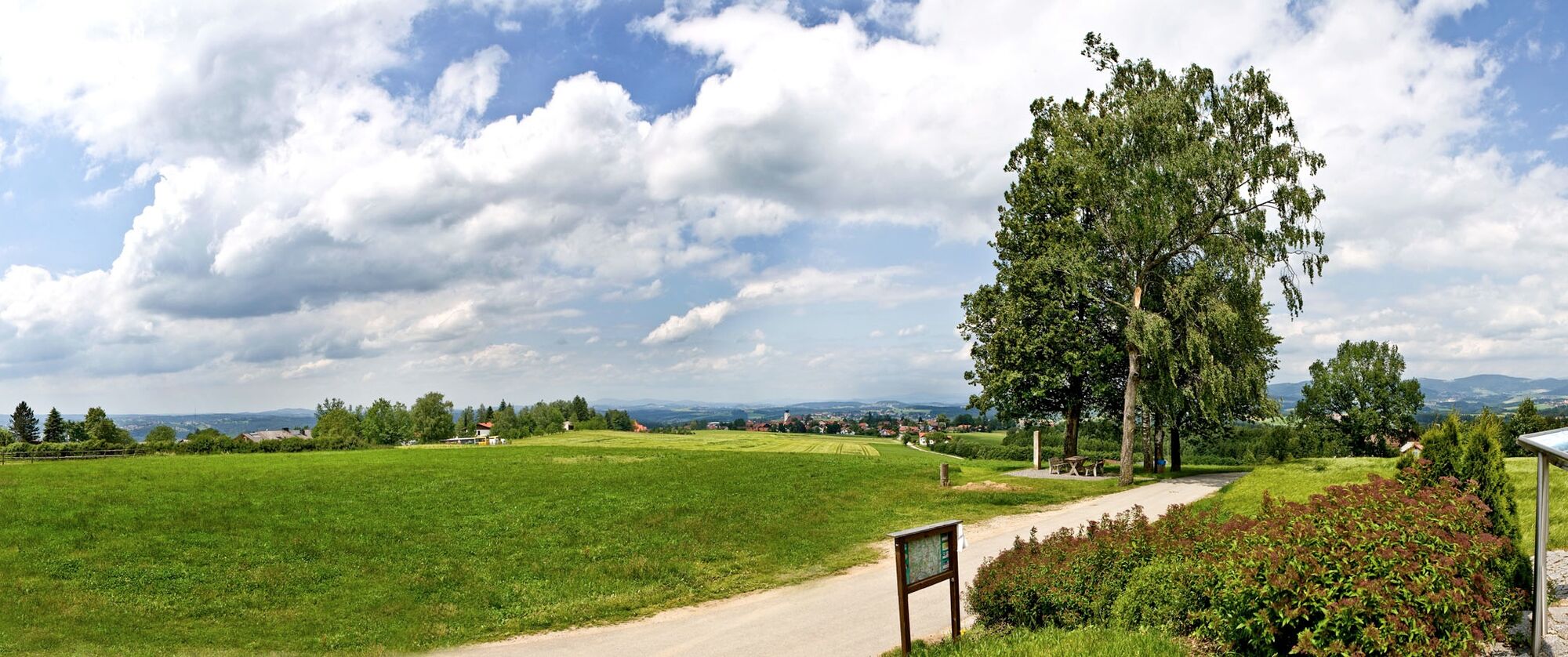

From the starting point in Kellberg at the spa guesthouse, St.-Blasius-Straße 10, we head south and turn left. We follow the street and at the end of the village turn right into Lindenstraße and leave the settlement after about 200 m to the left. We follow the street to König-Max Höhe. There we meet the Donausteig and follow it to Grafmühle. There we leave the Donausteig to the right and walk through the forest, at the end of which we pass the bathing pond, tennis courts, and asphalt curling lanes. At these, we turn right and go past the winter pond, cross the main road, and back to the village.
Ano
Ano
Ano
Hiking backpack (incl. rain cover), sturdy footwear
Sturdy hiking boots required
On the B 388 Hauzenberg-Wegscheid coming from Passau, possible by own car or by bus. www.rbo.de
Free parking without time restriction at the Kellberg spa guesthouse (large parking lot at the back of the building, access via Eggersdorfer Str. into Schulweg)
Ano
Tourist Information Kellberg-Thyrnau
St.-Blasius-Straße 10
94136 Thyrnau
Tel.: 0049(0)8501/320
Fax: 0049(0)8501/1777
tourist-info@kellberg-thyrnau.de
www.kellberg-thyrnau.de
DONAUSTEIG HOST ALONG THE ROUTE:
Country inn “Kirchenwirt”
St-Blasius-Str. 1, 94136 Kellberg, Tel.: +49 8501 8116
www.kirchenwirt-kellberg.de
- picturesque beer garden
- 30 beds
The place name Kellberg is pre-Germanic and means mountain.
The street settlement Kellberg arose on the trade route to the Celtic Boiodurum (today Passau), which served the transport of graphite clay and salt


Oblíbené prohlídky v okolí
- 4.8
Cyklotúra Schärding-Pasov-Schärding | Příroda a kultura na Innské cyklostezce
světloJízda na kole 32.4 km - 4.6
Ilztalwanderweg
středníTuristika 15.2 km - 3.9
R1.01 Okruh Inn - Dunaj
středníJízda na kole 43.7 km - 4.0
Dunajská cyklocesta, 1. etapa, severní břeh: Passau - Schlögen
světloCyklistika na velkou vzdálenost 40.8 km - 4.7
Waldkirchen Saußbachklamm Rundweg
světloTuristika 4.99 km - 3.8
Esternberg: Kößlbachrunde
světloTuristika 15.8 km - 4.3
Von Hals nach Mausmühle
světloTuristika 12.2 km Dunajská cyklostezka, 1. etapa, jižní břeh: Passau - Schlögen
světloCyklistika na velkou vzdálenost 42.1 km- 3.7
Freinberg: Passaublick-Severinsweg
světloTuristika 9.52 km - 4.0
Passau: City hiking route from nature to culture
světloTuristika 6.82 km

Pěší turistika a stopování


Nenechte si ujít nabídky a inspiraci pro vaši příští dovolenou
Vaše e-mailová adresa byl přidán do poštovního seznamu.





