







Ristfeuchthorn and Weißbach Gorge in Schneizlreuth
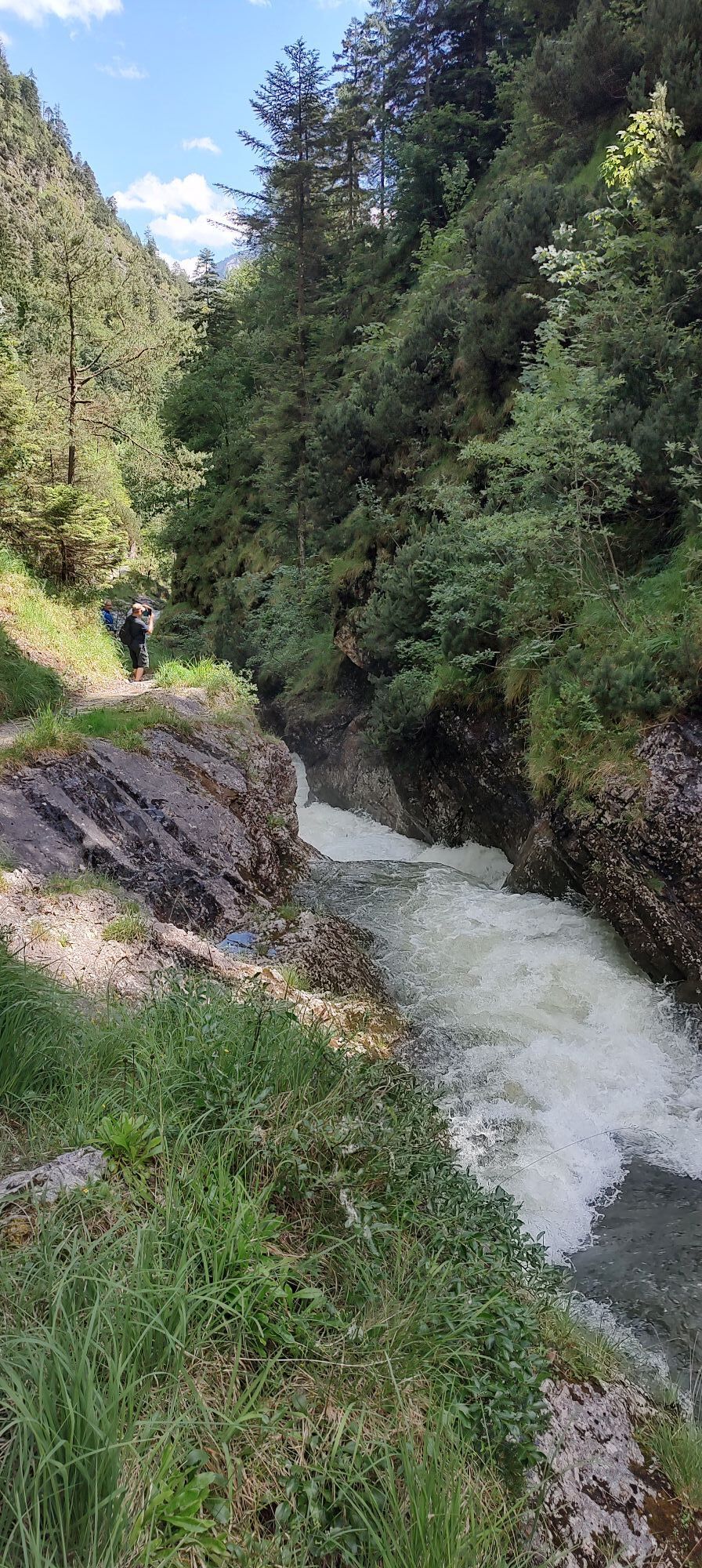
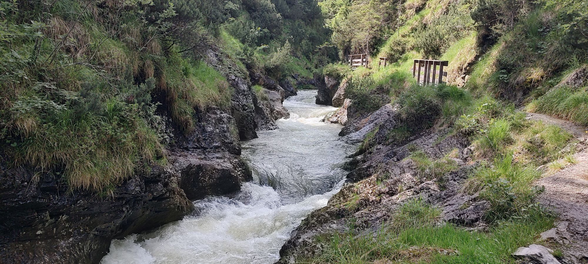
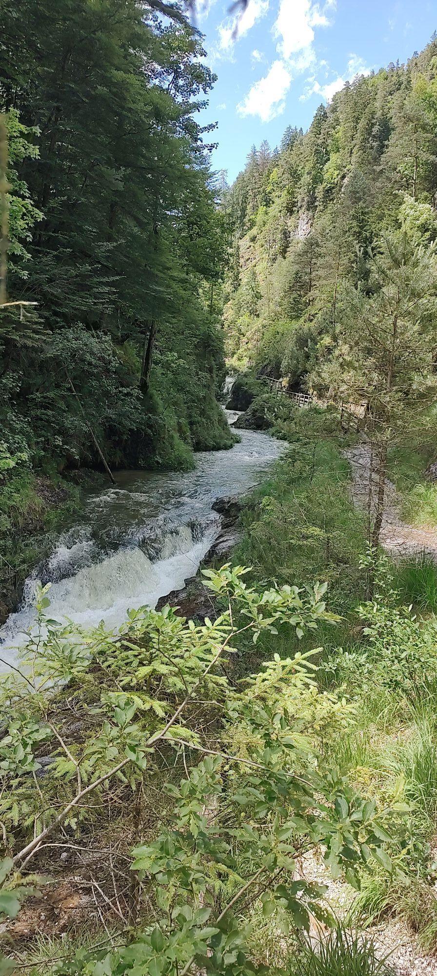
The Ristfeuchthorn (1,569 m) in the eastern Chiemgau Alps leads a hidden existence, although the heavily trafficked federal road B 21 partly encircles the steep rock mass between Schneizlreuth and Steinpass....
The Ristfeuchthorn (1,569 m) in the eastern Chiemgau Alps leads a hidden existence, although the heavily trafficked federal road B 21 partly encircles the steep rock mass between Schneizlreuth and Steinpass. Most car and bus drivers have probably just noticed the Ristfeuchthorn as they pass by, but few have probably climbed it. From a trail perspective, it really doesn't look very inviting, but as soon as the initial traffic noise and the narrow crossings of the first steep slopes fade away, the consistently steep ascent becomes more harmonious. The cool mixed forest is also much more diverse than assumed from the valley. The return path down to Weißbach is less steep before it then gets somewhat more challenging again through the magnificent Weißbach Gorge on the way back to Schneizlreuth.

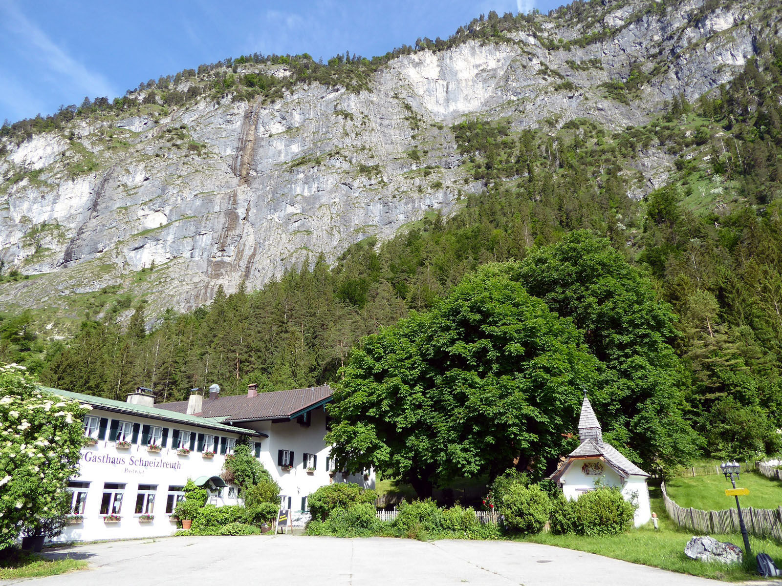
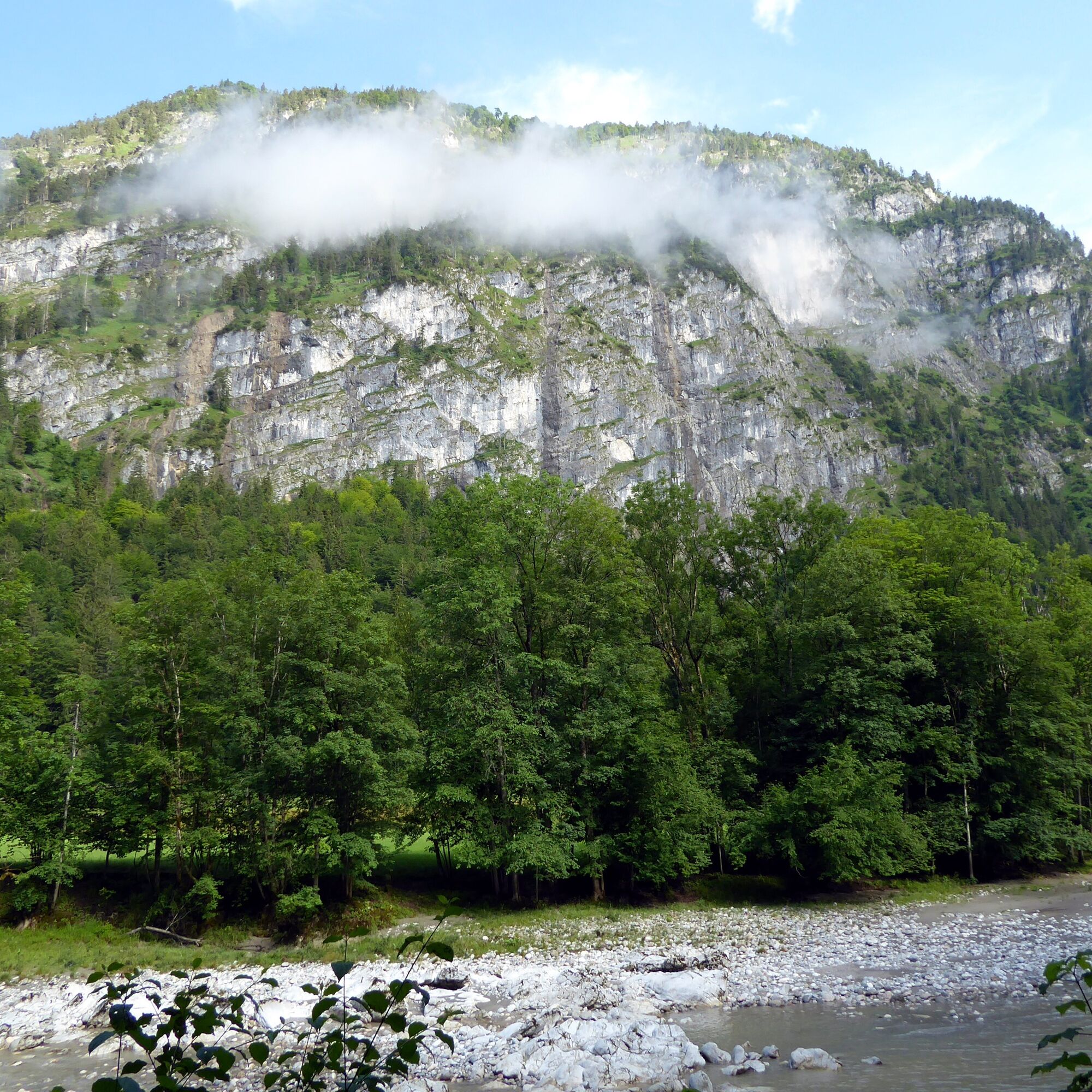
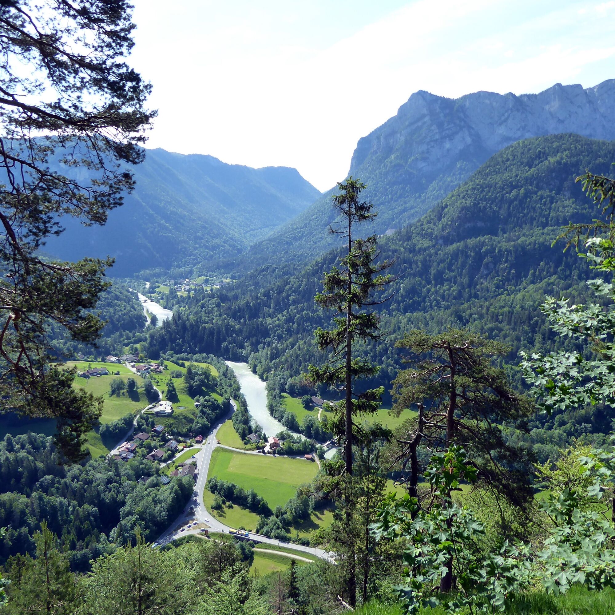
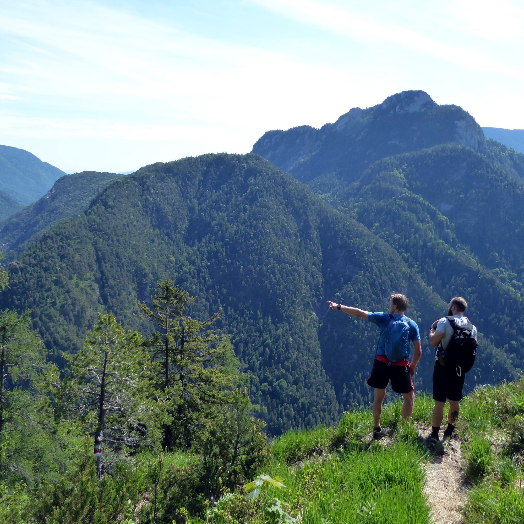
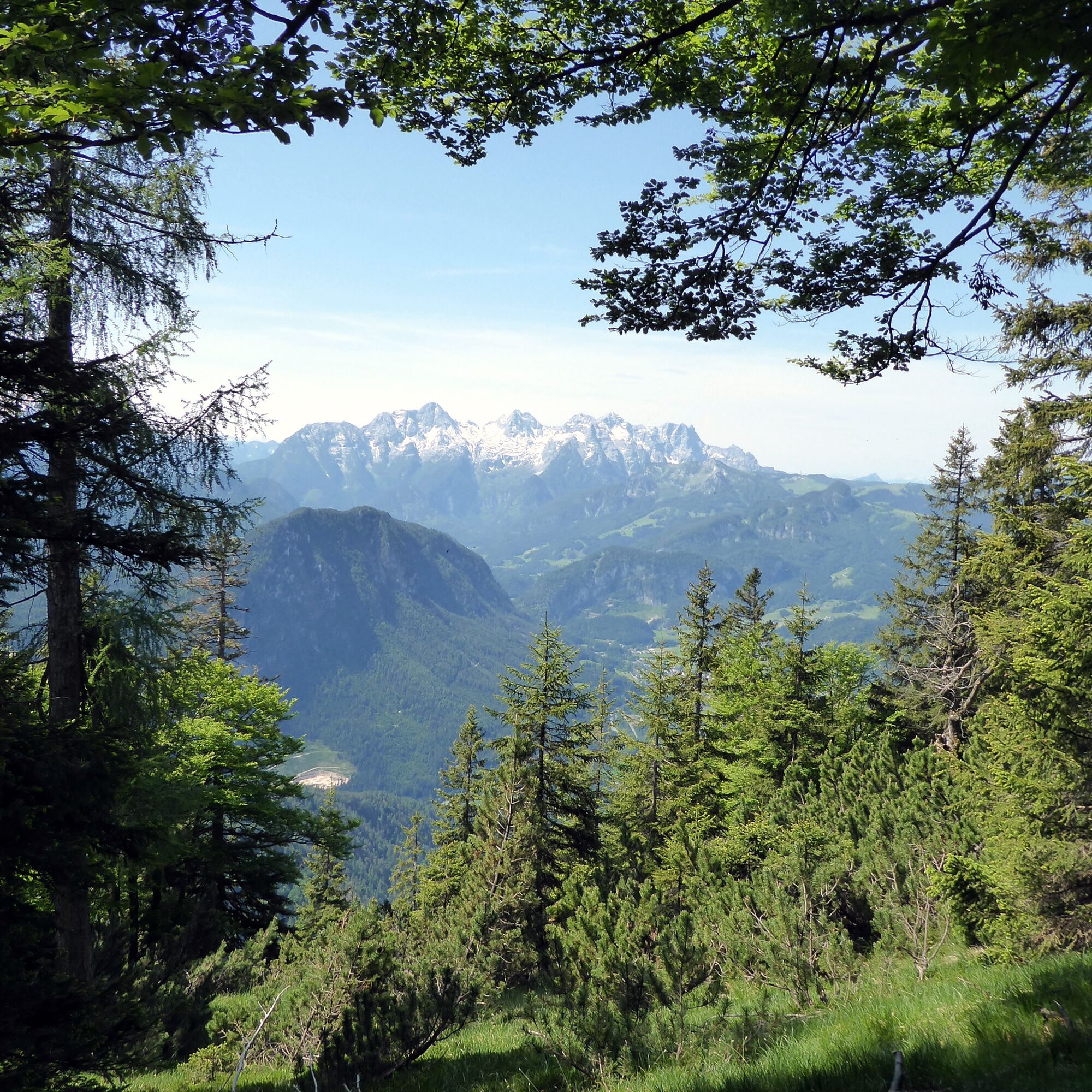
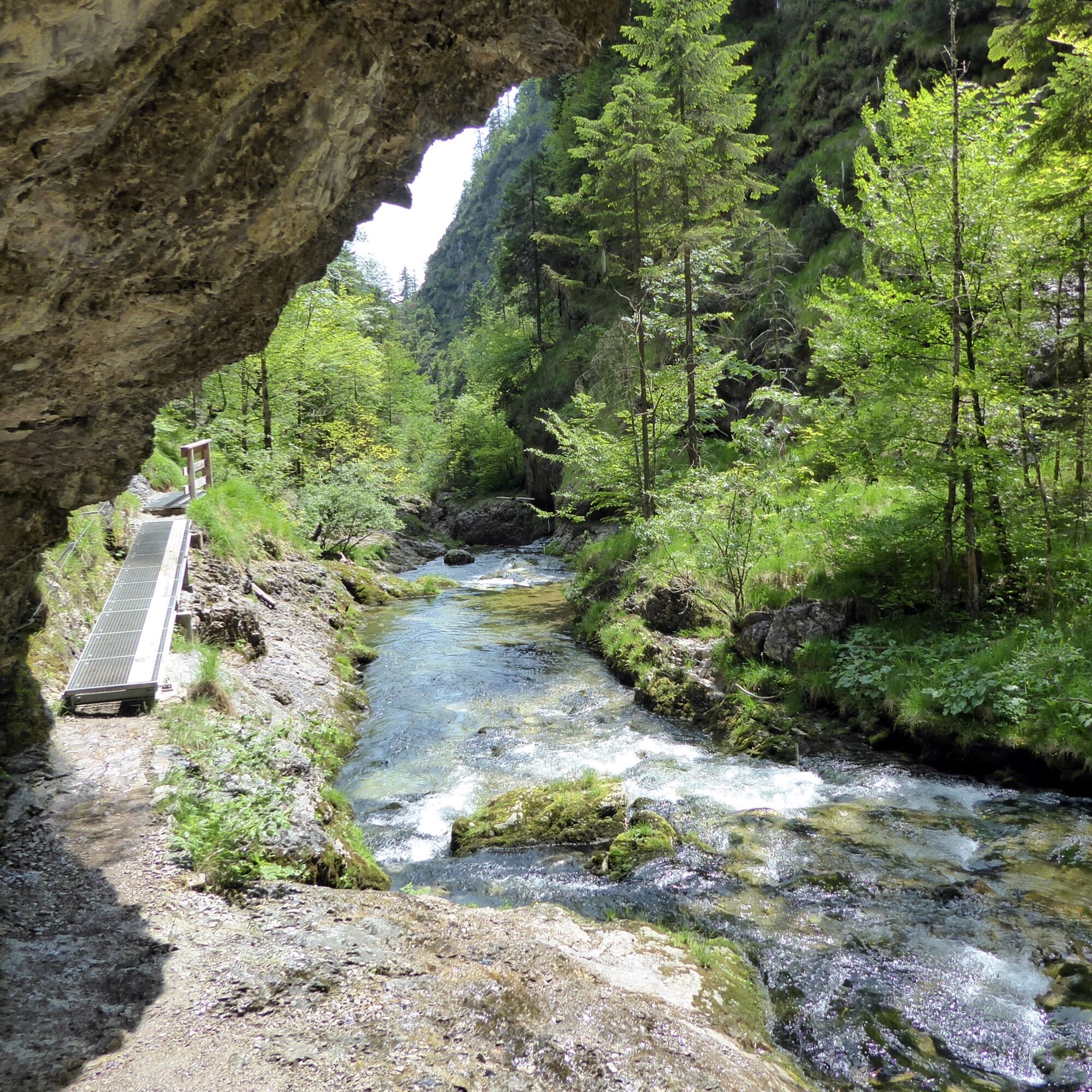

The starting point is the Schneizlreuth Gasthof Post bus stop. Just behind it, the Ristfeuchthorn is already signposted with a 3-hour walking time. The path runs to the right past the house chapel and the lovely beer garden (open Sat., Sun., and holidays). The initial steepness soon transitions into a more pleasantly structured terrain profile; on one of these terrace-like recesses, there is even a small hunting hut. The trail turns from the east to the south side, showcasing the Loferer Steinberge impressively. After 2 hours of walking time, a half-hour larch path branches off to the summit on the right. Returning to this junction, the further descent traverses westward 1.7 km to another fork. To the left, the path runs over the Sellarnalm to Melleck; our route to Weißbach branches off to the right and meets a forest road 20 minutes later. Three wooded kilometers later, the initially quite calm-flowing Weißbach is reached in the valley floor, to which the last section follows on the left bank, branching off to the right. The path becomes more alpine and the stream wilder; at the end of the 3-kilometer-long gorge, the hike and the watercourse gently come to an end.
Ano
Sure-footedness, a head for heights, sturdy footwear, and dry terrain conditions are absolute requirements! Bring plenty of drinking water, as there is no spring along the route.
By bus 260 from Sbg Hbf (Engelbert Weiß Weg) to Schneizlreuth Gasthof Post stop. Be careful when boarding for the return journey. There is no bus stop bay!
Timetable information and download: Online at www.salzburg-verkehr.at or on your smartphone via the free Salzburg Verkehr app for Android and iOS.
www.berchtesgaden.de/wandern/see-klamm-wanderungen/weissbachschlucht
Mag. Christian Heugl
5400 Hallein
cheugl@a1.net
Image credit: Christian Heugl
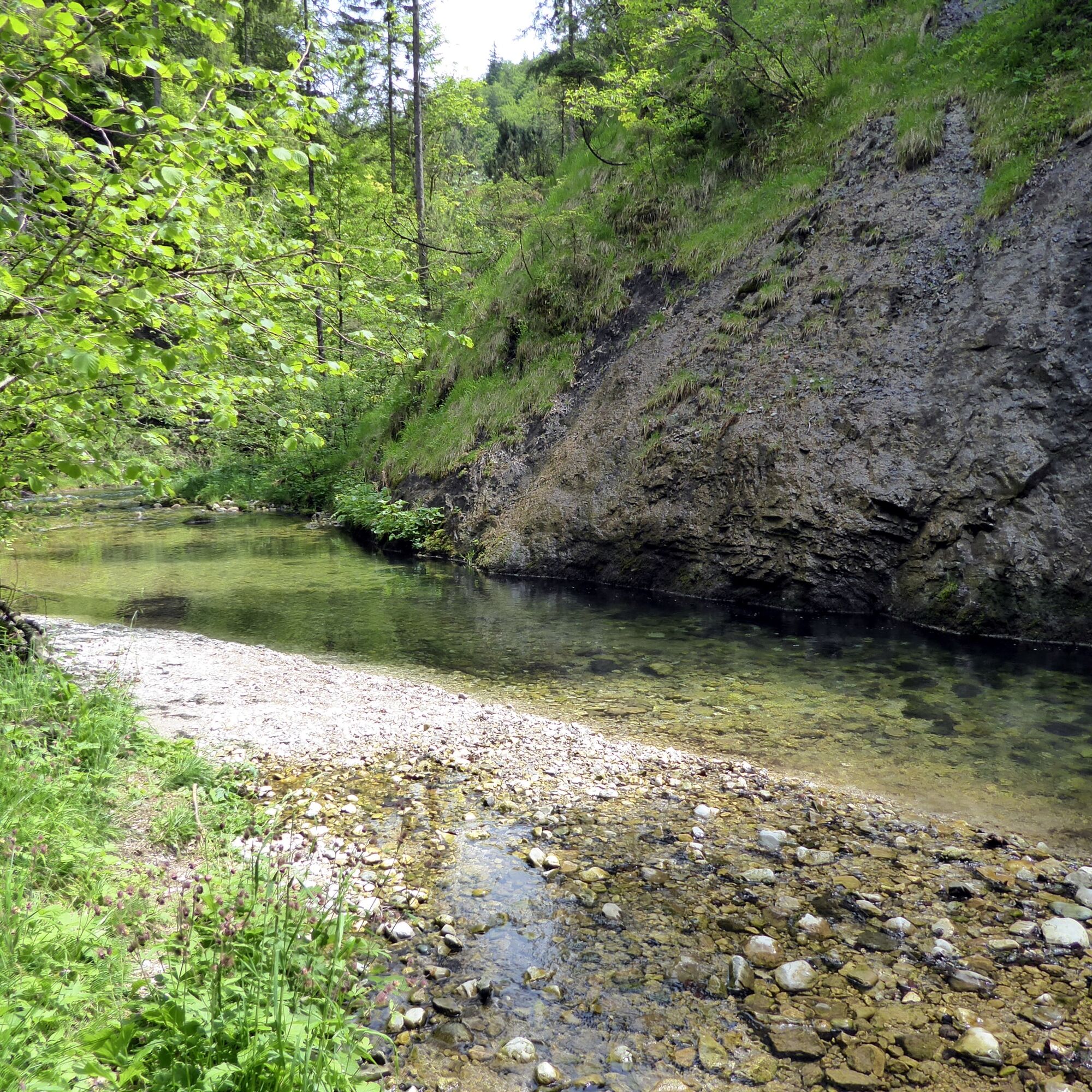
Comfortable entry points, at least for a foot bath, at the beginning or the end of the Weissbach Gorge.

Oblíbené prohlídky v okolí
-
4.4
Staufen-Bergtour
středníTuristika 14.1 km -
4.3
Halsalm
Turistika 6.43 km -
3.9
Rundwanderweg zur Steinernen Agnes
Turistika 9 km -
4.4
Alpgarten-Rundweg
Turistika 2.93 km -
4.9
Ramsau/Hintersee-Runde
světloTuristika 9.44 km -
4.9
Dötzenkopf Rundweg
středníTuristika 6.95 km -
3.9
Soleleitungsweg
Turistika 10.5 km -
4.8
Atemberaubende Aussicht auf dem Dürrnbachhorn
středníTuristika 8.44 km -
4.9
Frillensee round from Adlgaß
Turistika 5.82 km -
4.7
Over the waterfall trail into the Almenwelt Lofer
středníTuristika 3.29 km
Pěší turistika a stopování


Nenechte si ujít nabídky a inspiraci pro vaši příští dovolenou
Vaše e-mailová adresa byl přidán do poštovního seznamu.





