







From Oberstaufen via Eibele to Aach
Along Schlossstraße and further along Bergstraße it goes in a dreamy southern location until the junction with the B308. Through the underpass on the footpath to Willis. Past the left side of Hotel Bergkristall...
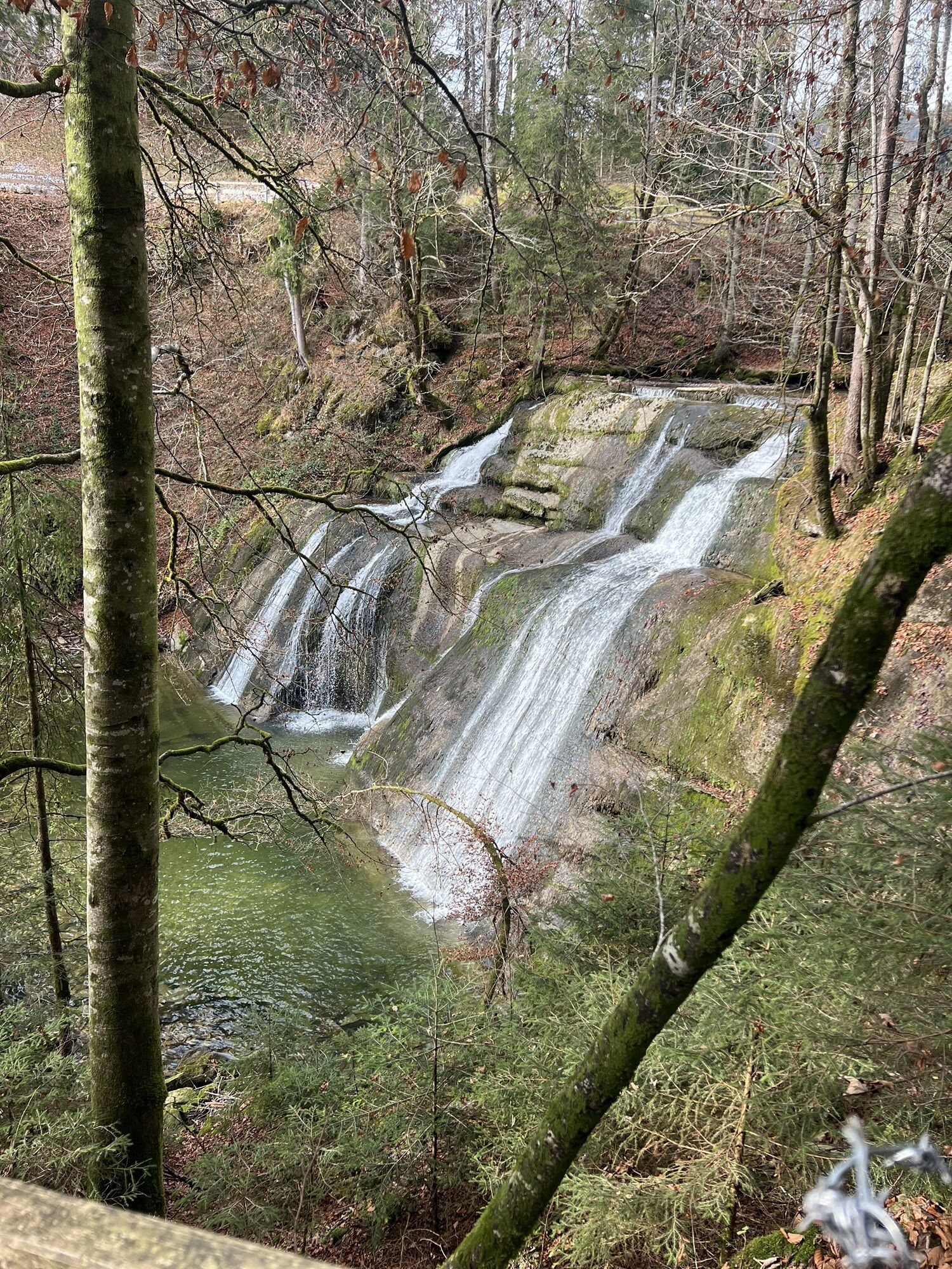
Along Schlossstraße and further along Bergstraße it goes in a dreamy southern location until the junction with the B308. Through the underpass on the footpath to Willis. Past the left side of Hotel Bergkristall - below the hotel a wildlife park with red and fallow deer as well as goats. Further on to Hinterhalden with the possibility to stop for refreshments, from there to the district of Eibele. A beautiful and pleasant path along a southeast slope. A stop at the border footbridge near the waterfalls is worthwhile. Before, turning right leads to the upper fall. Our path continues over the wooden footbridge into Vorarlberg. Keep left at the street and follow the road down a bit to the Weißach. The golf greens are on the right; however, we choose to go straight on the footpath up to Aach (with refreshment possibilities). The return to Oberstaufen is by the regular bus. Alternatively, walk to Krebs, there turn left to the dam and along the Weißach back to Oberstaufen.

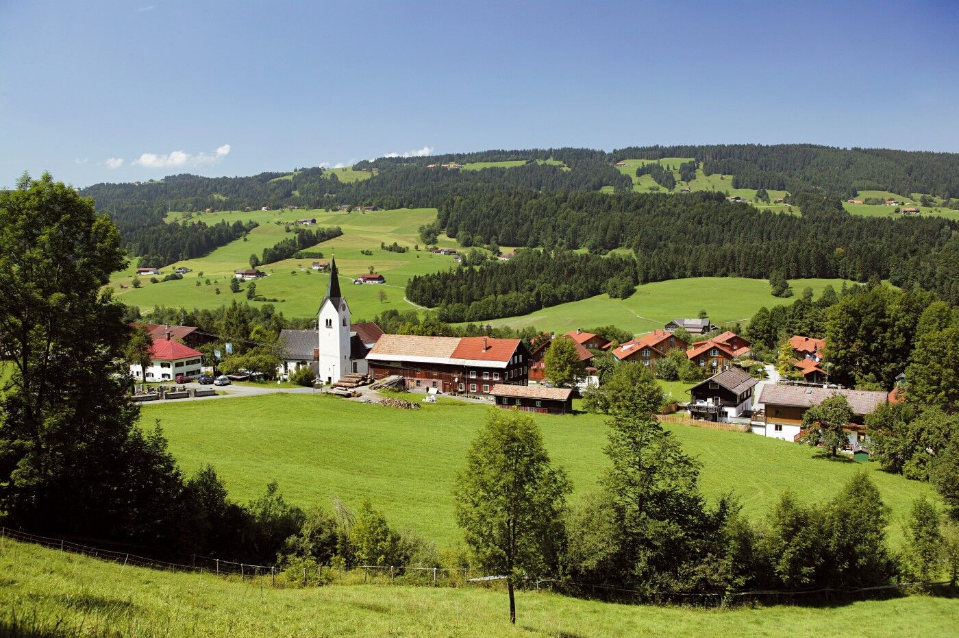
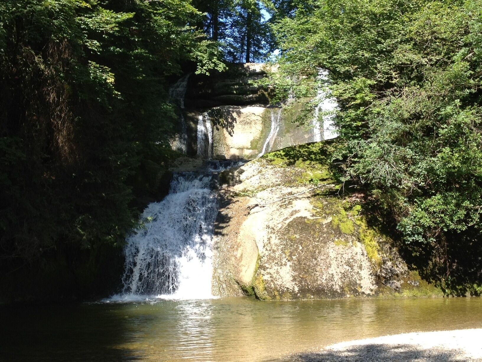
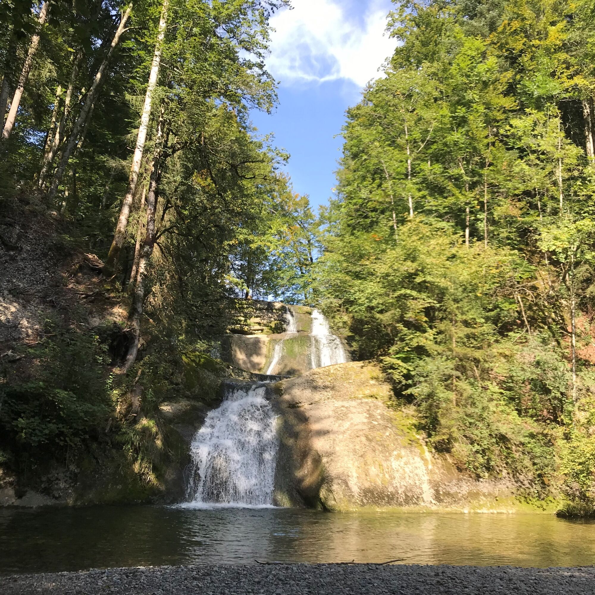

Oberstaufen train station - Schlossstraße - Willis - Hinterhalden - Eibele - Eibele Waterfall - Krebs Waterfall - Aach
Via the B 308 to Oberstaufen.
Traveling by bus and train in and around Oberstaufen?
Information, bus timetables, and an overview map at oberstaufen.de/bus-parken
Paid parking at the Oberstaufen train station
Webové kamery z prohlídky
-
Alpenarena Hochhäderich
-
Hochlitten Riefensberg / Bregenzerwald
-
Oberstaufen
-
Skilifte Sinswang
-
Oberstaufen - Biohotel Schratt
-
Oberstaufen - Biohotel Schratt
-
Oberstaufen
-
Sulzberg
-
Sulzberg
-
Fluhexpress Berg
-
Fluhexpress Berg
-
Fluhexpress Berg
-
Fluhexpress Berg
-
Alpe Hohenschwand
-
Oberstaufen - Rosenalp
-
Fluhexpress Bergstation
-
Hündlebahn Bergstation
-
Imberghaus
-
Oberstaufen
-
Oberstaufen - Hörmoos
-
Alpenarena Hochhäderich
Získejte přehled
Vždy živě na místě s více než 9 500 webkamerami. bergfex Jako uživatel Pro si nyní můžete zobrazit odpovídající webové kamery pro mnoho prohlídek v aplikaci prohlídky z. Můžete si tak přímo prohlédnout aktuální podmínky.
Oblíbené prohlídky v okolí
-
4.5
Steibis - Buchenegger Waterfalls
středníTuristika 6.47 km -
4.6
Hittisau | Wasserwanderweg
světloTematická stezka 7 km -
4.7
Rindalphorn und Hochgrat
středníTuristika 15.6 km -
5.0
Nagelfluh ridge route Hochgrat - Mittag
heavyTuristika 14.0 km -
4.9
Immenstädter Horn
světloTuristika 9.35 km -
4.4
Immenstädter Horn - Gschwender Horn
světloTuristika 10 km -
5.0
Siedelalpe Runde von See - Immenstadt
světloTuristika 10.3 km -
3.5
Rundtour Mittag
světloTuristika 15.7 km -
4.5
Circular route Hündle to the Buchenegger Waterfalls
středníTuristika 9.69 km -
4.4
Circular route Steibis to Dreiländerblick
středníTuristika 7.95 km
Pěší turistika a stopování


Nenechte si ujít nabídky a inspiraci pro vaši příští dovolenou
Vaše e-mailová adresa byl přidán do poštovního seznamu.





