







Panorama route western Nagelfluh chain

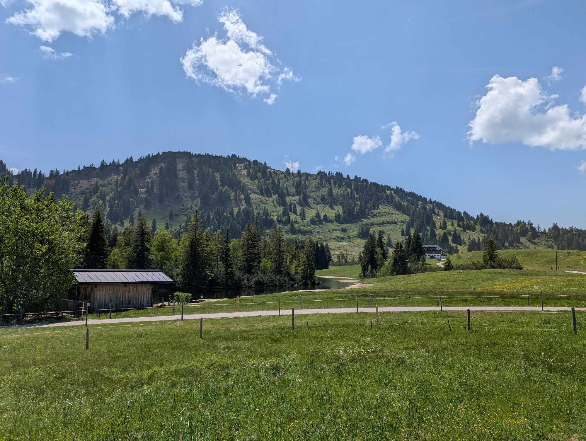
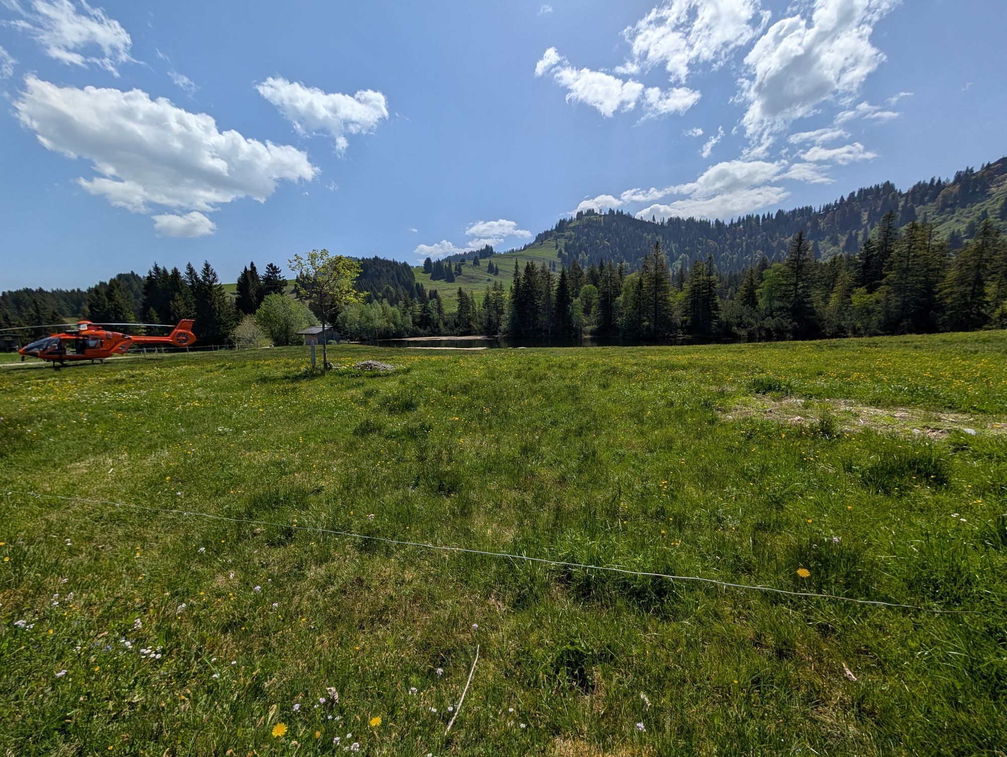
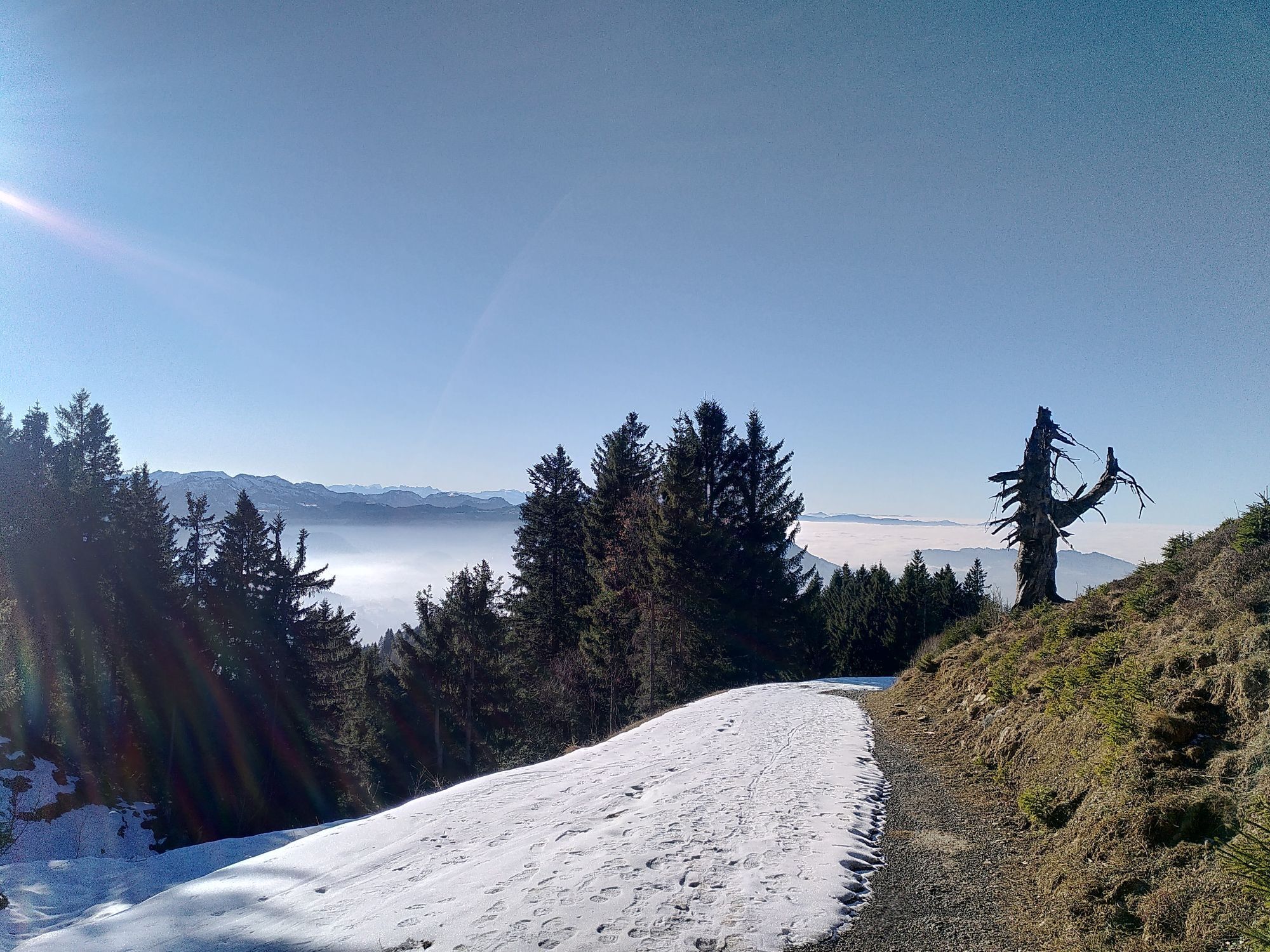
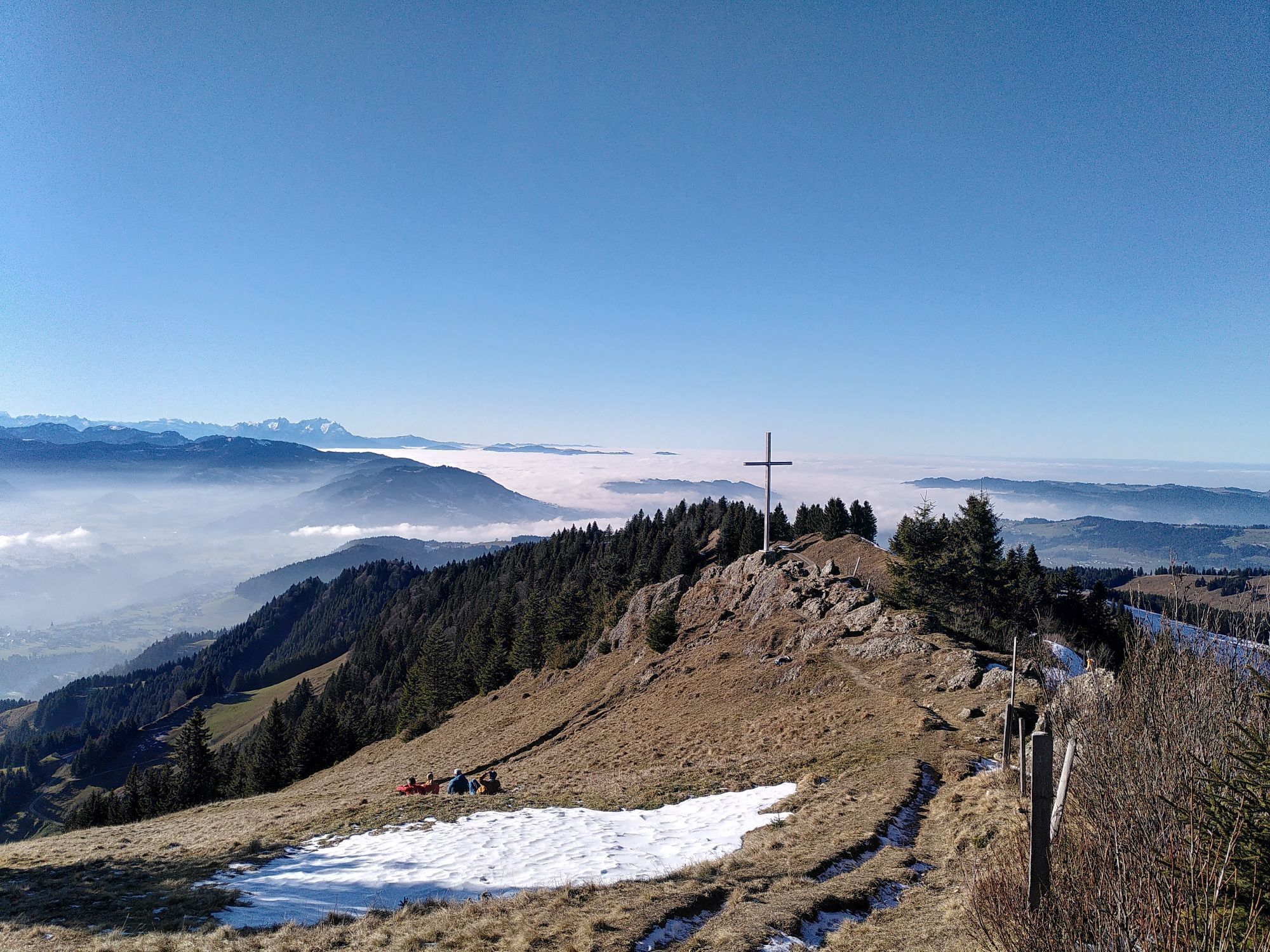
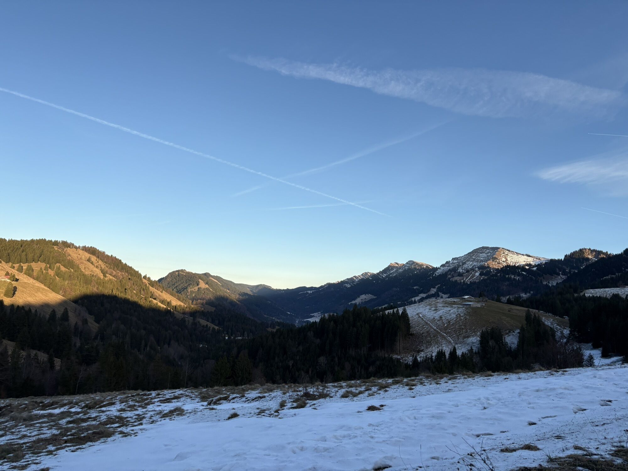
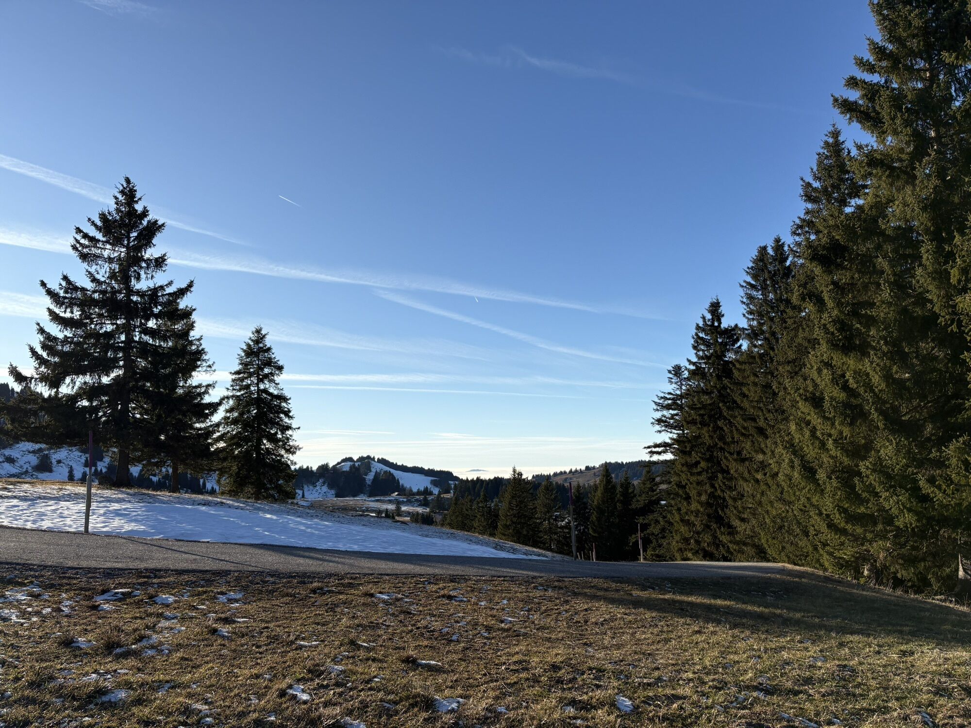
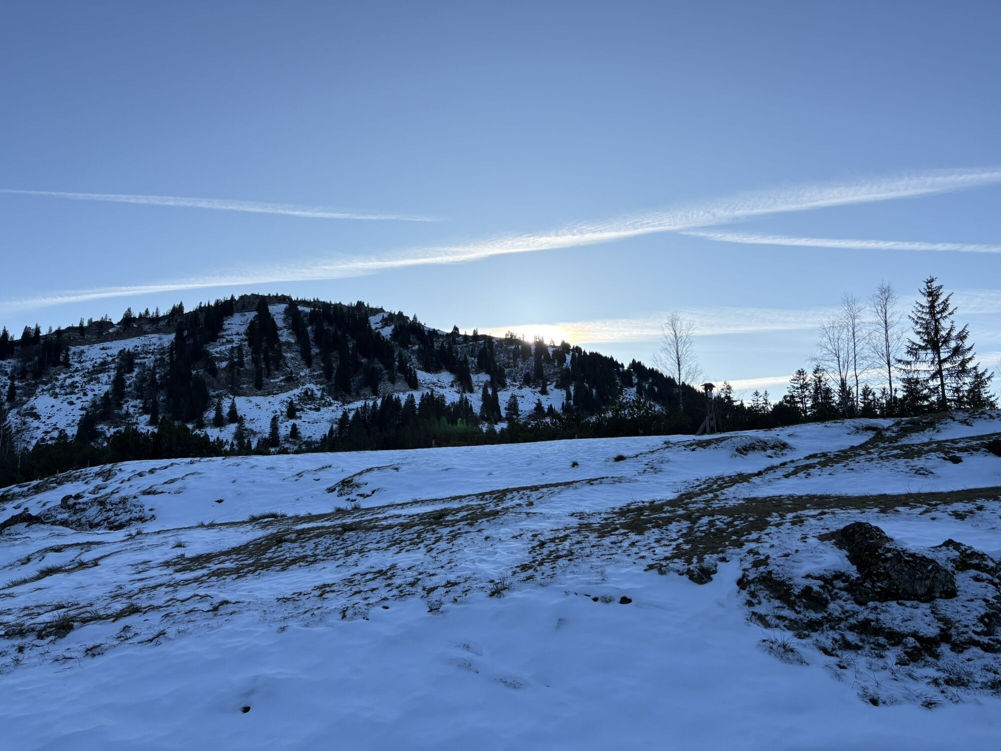
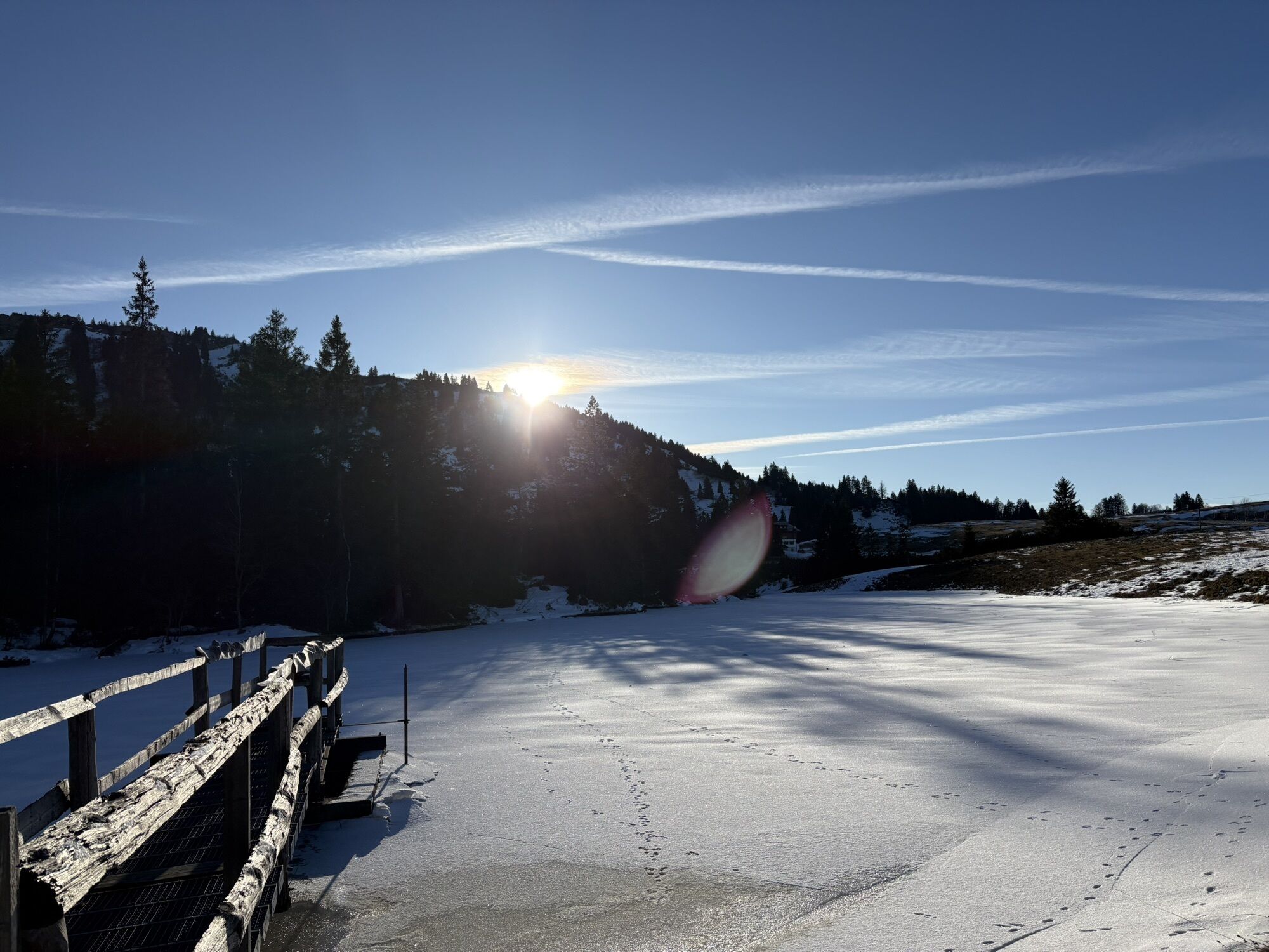
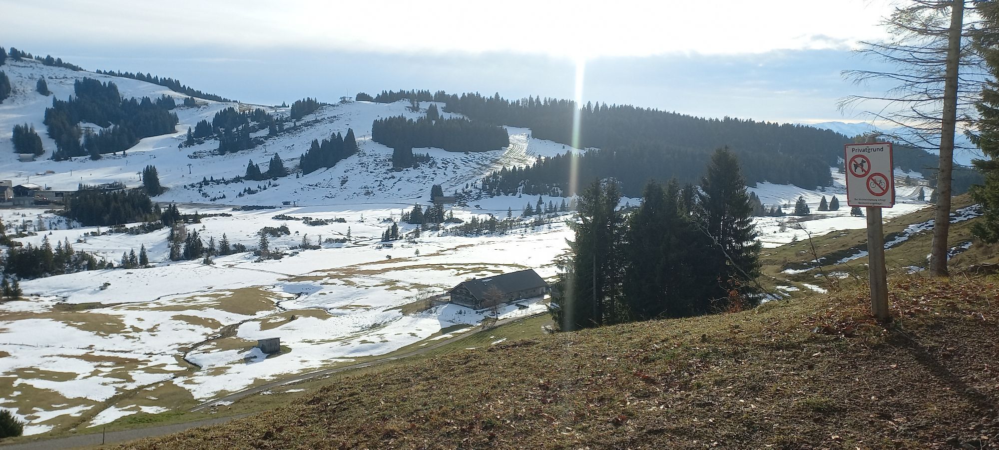
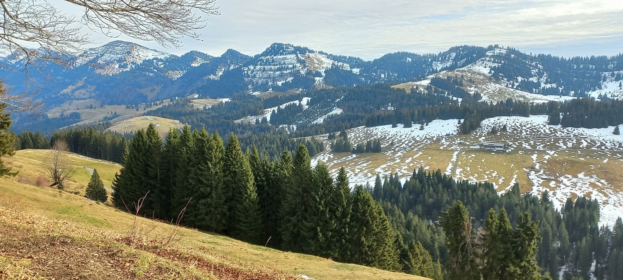
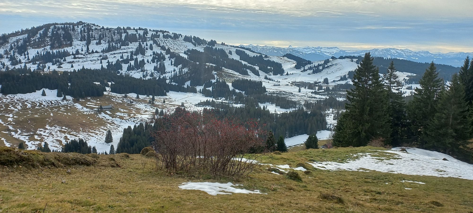
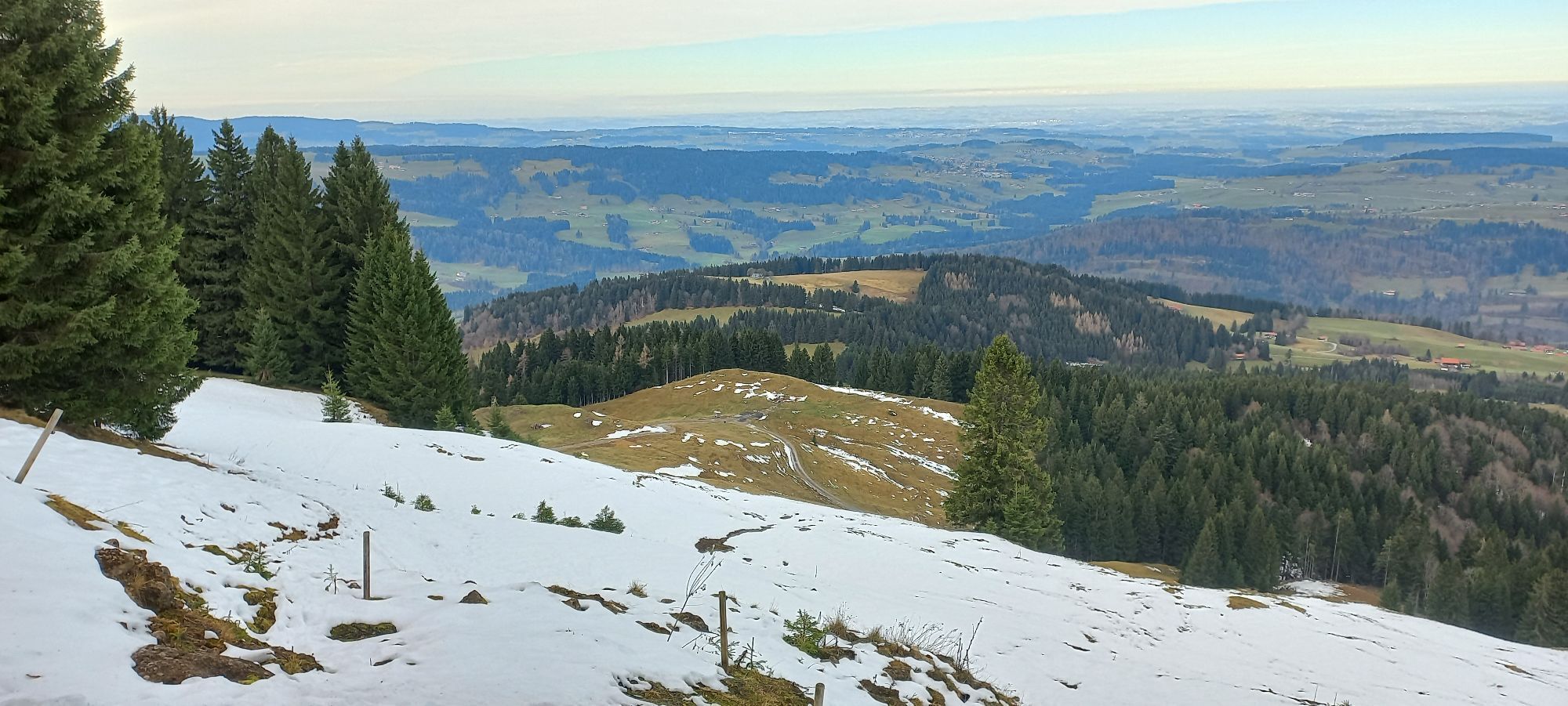
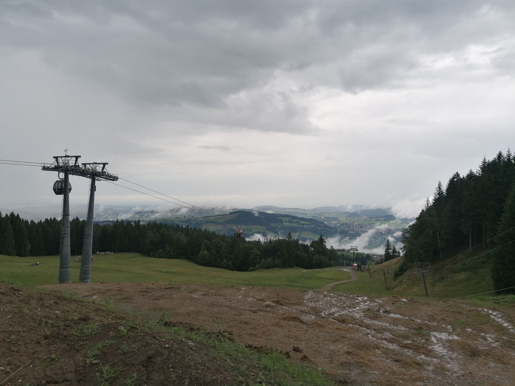
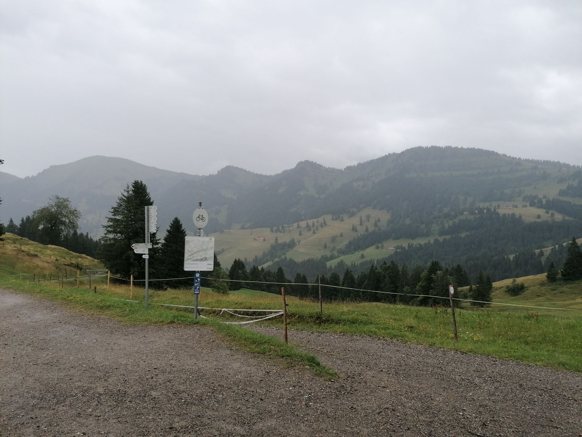
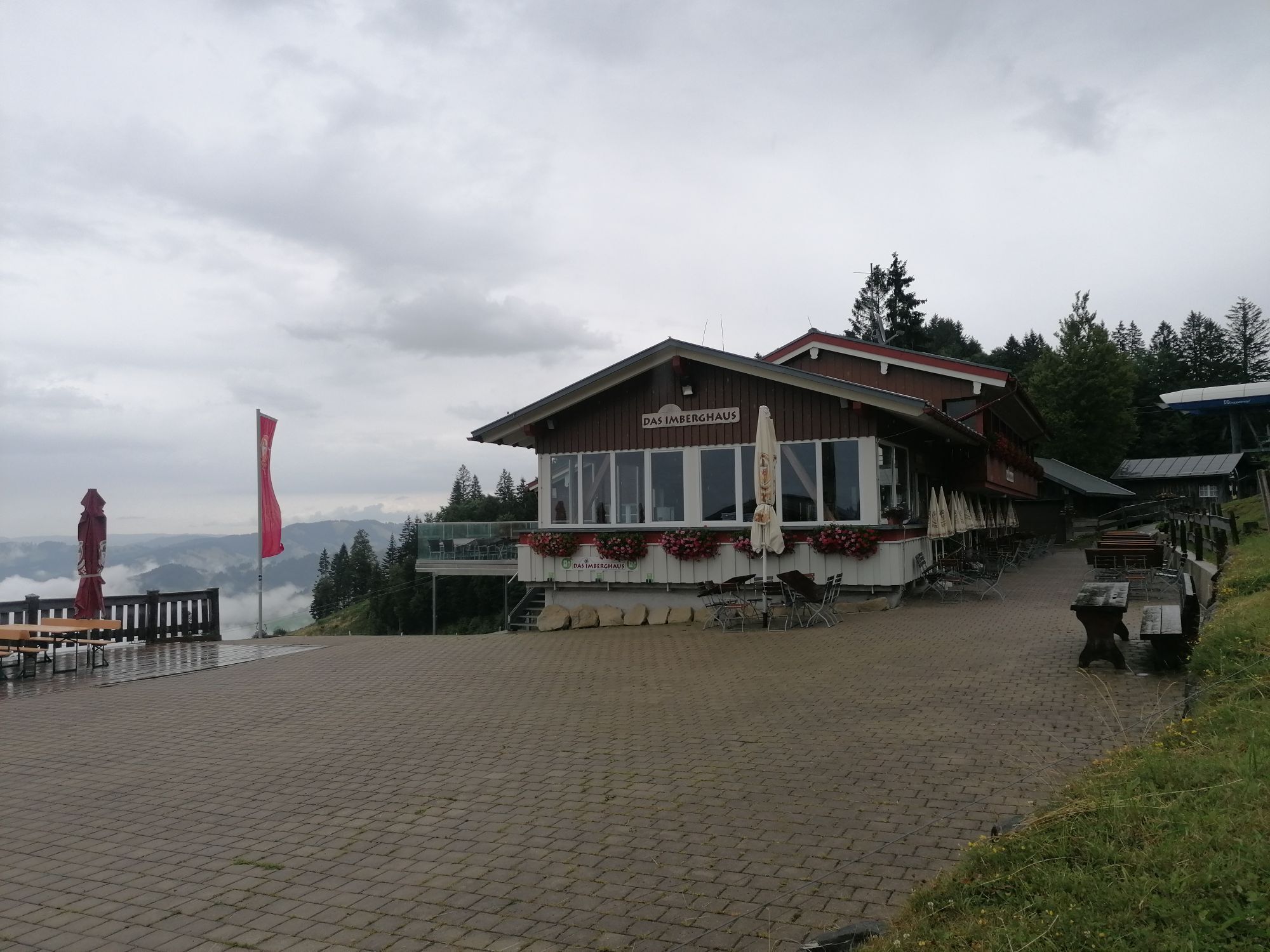
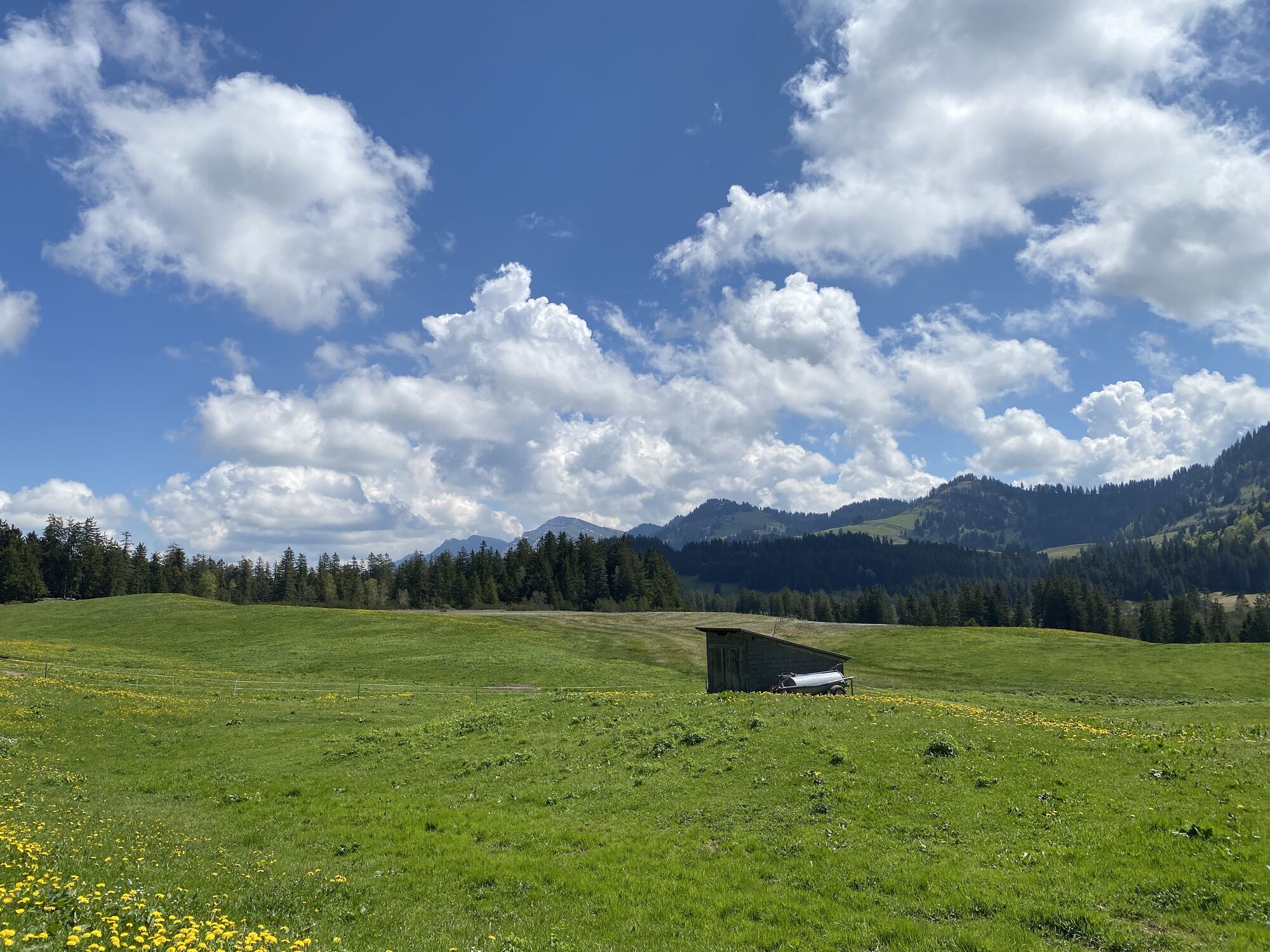
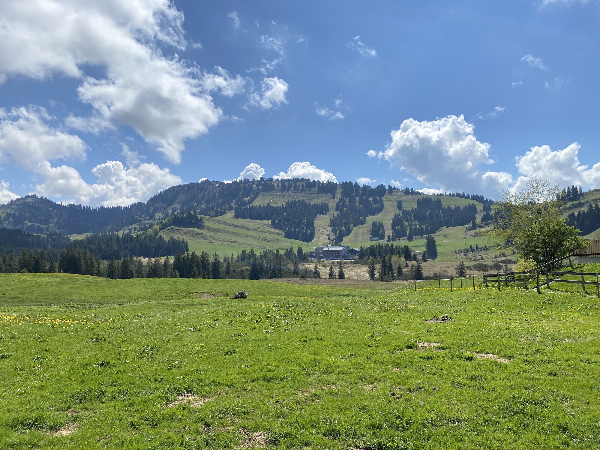

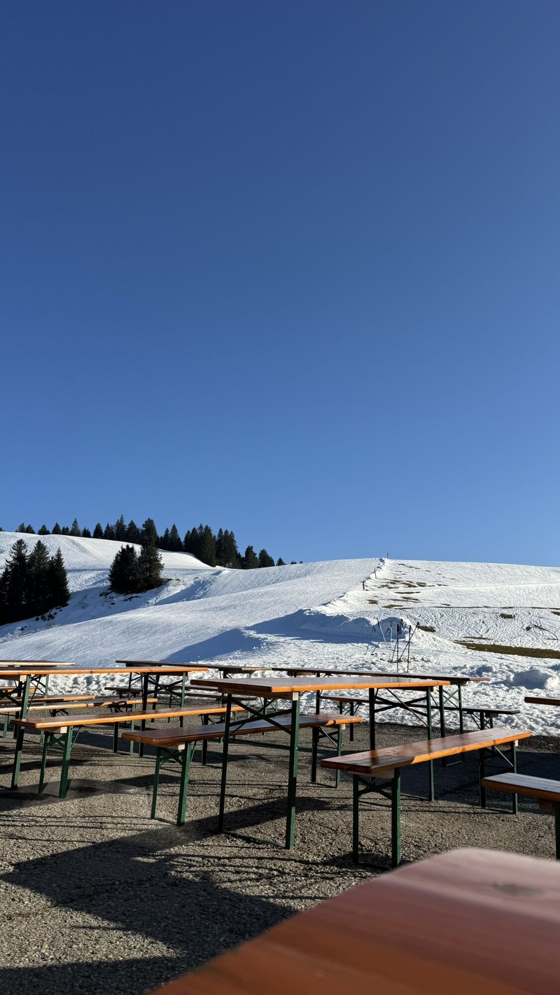
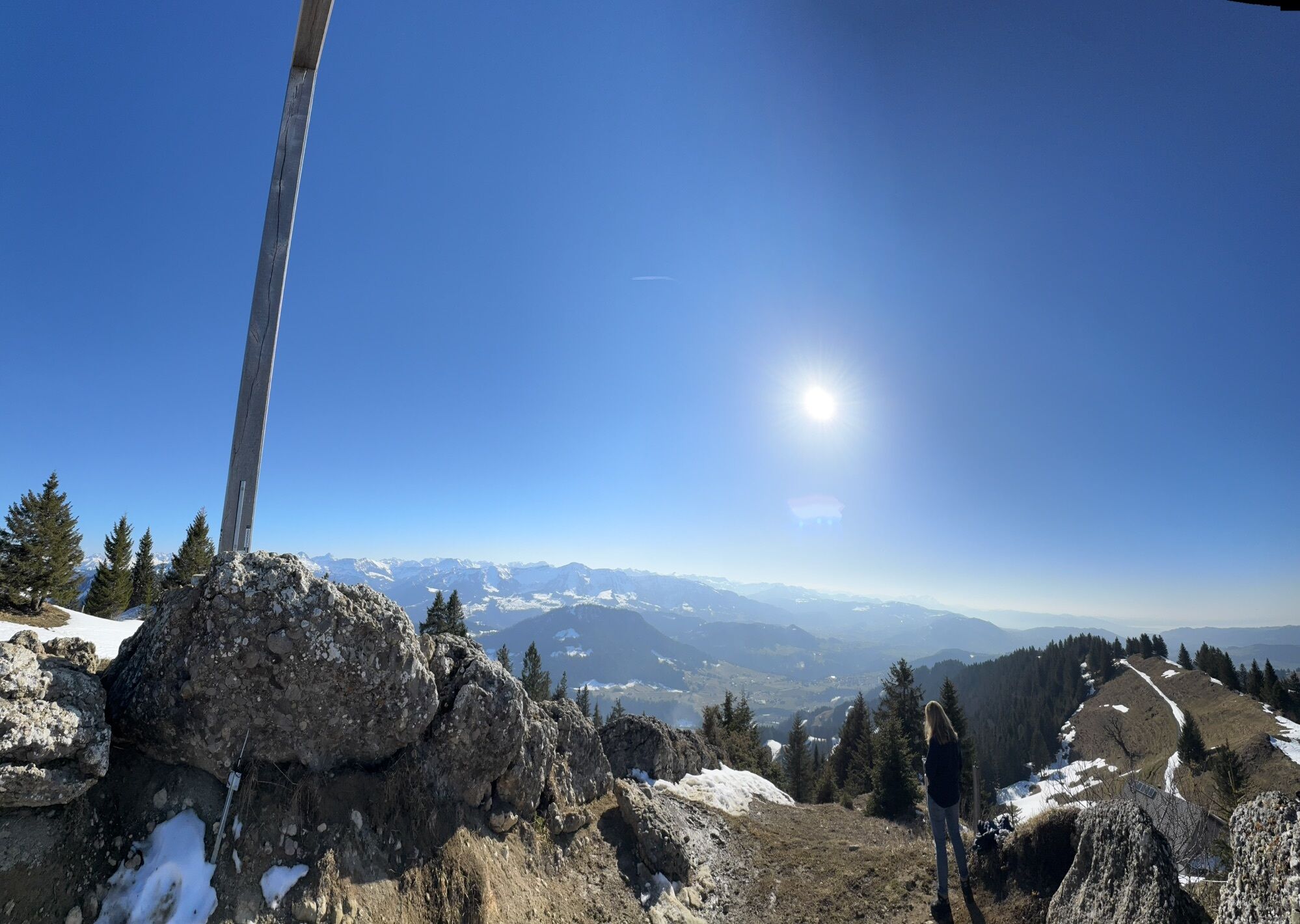
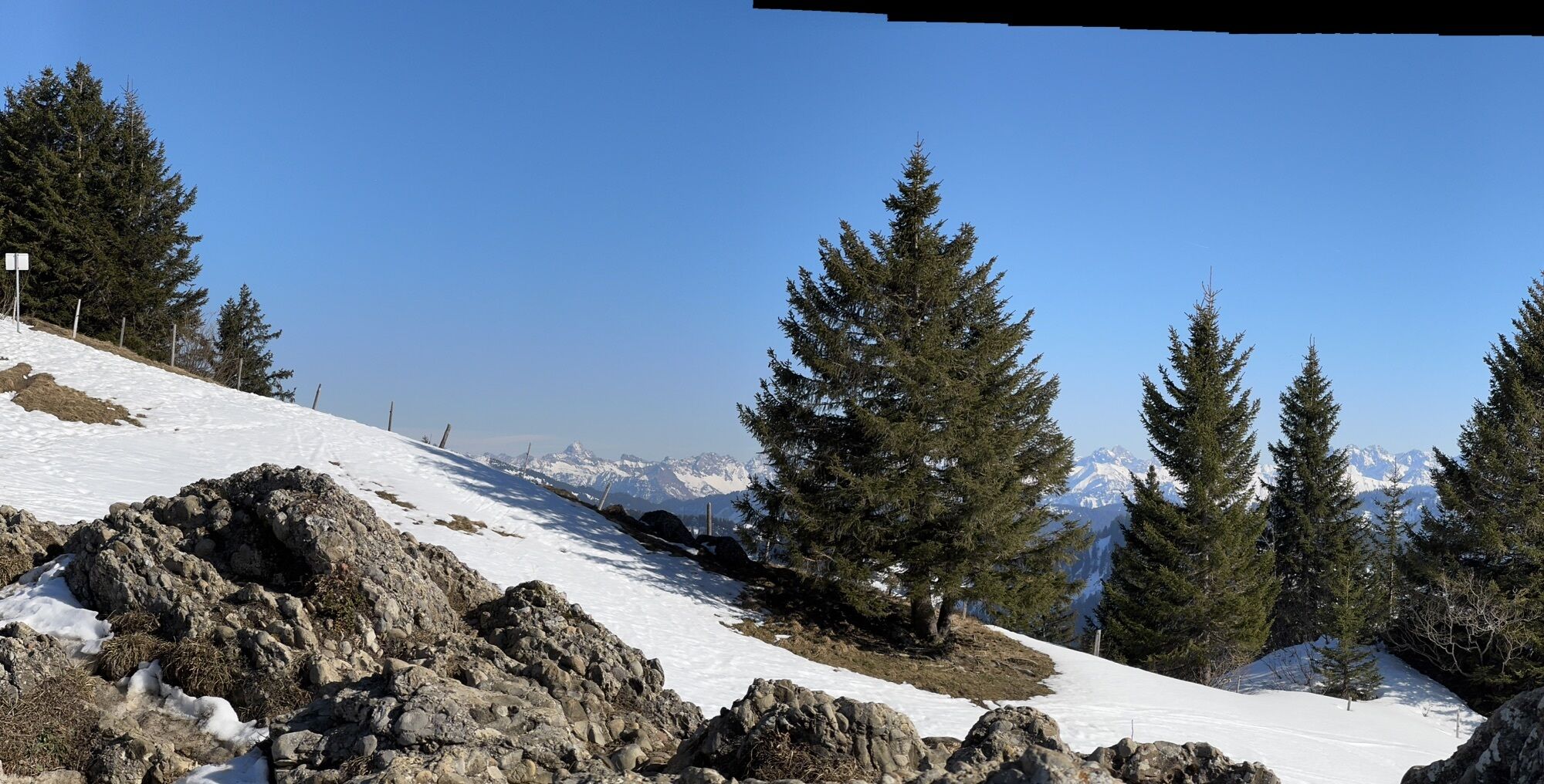
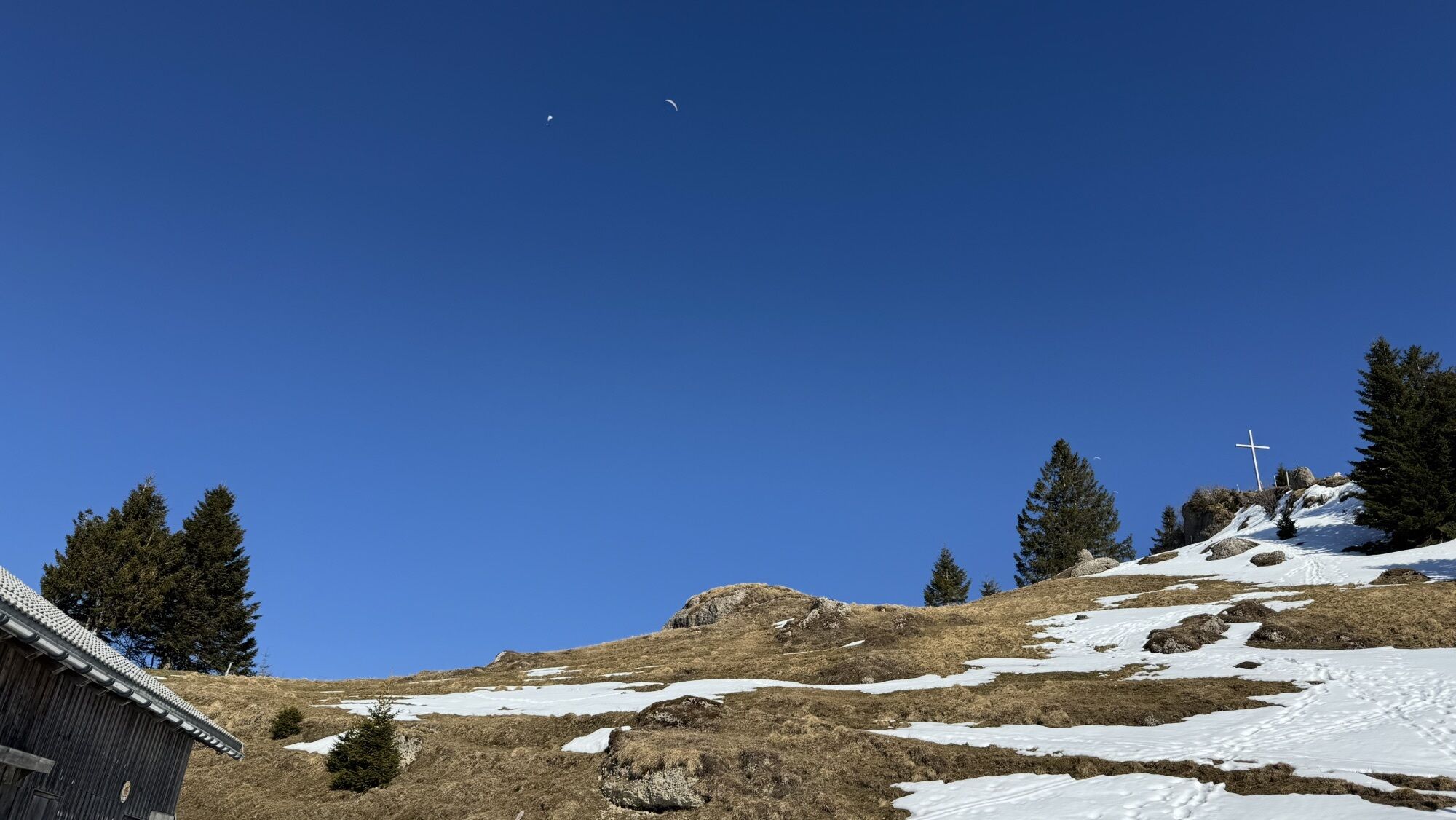
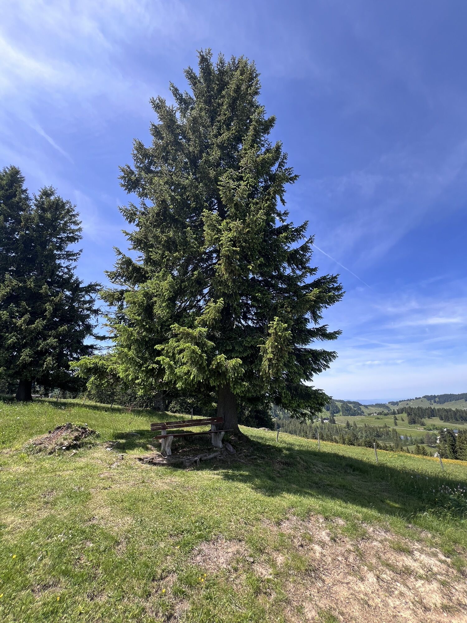
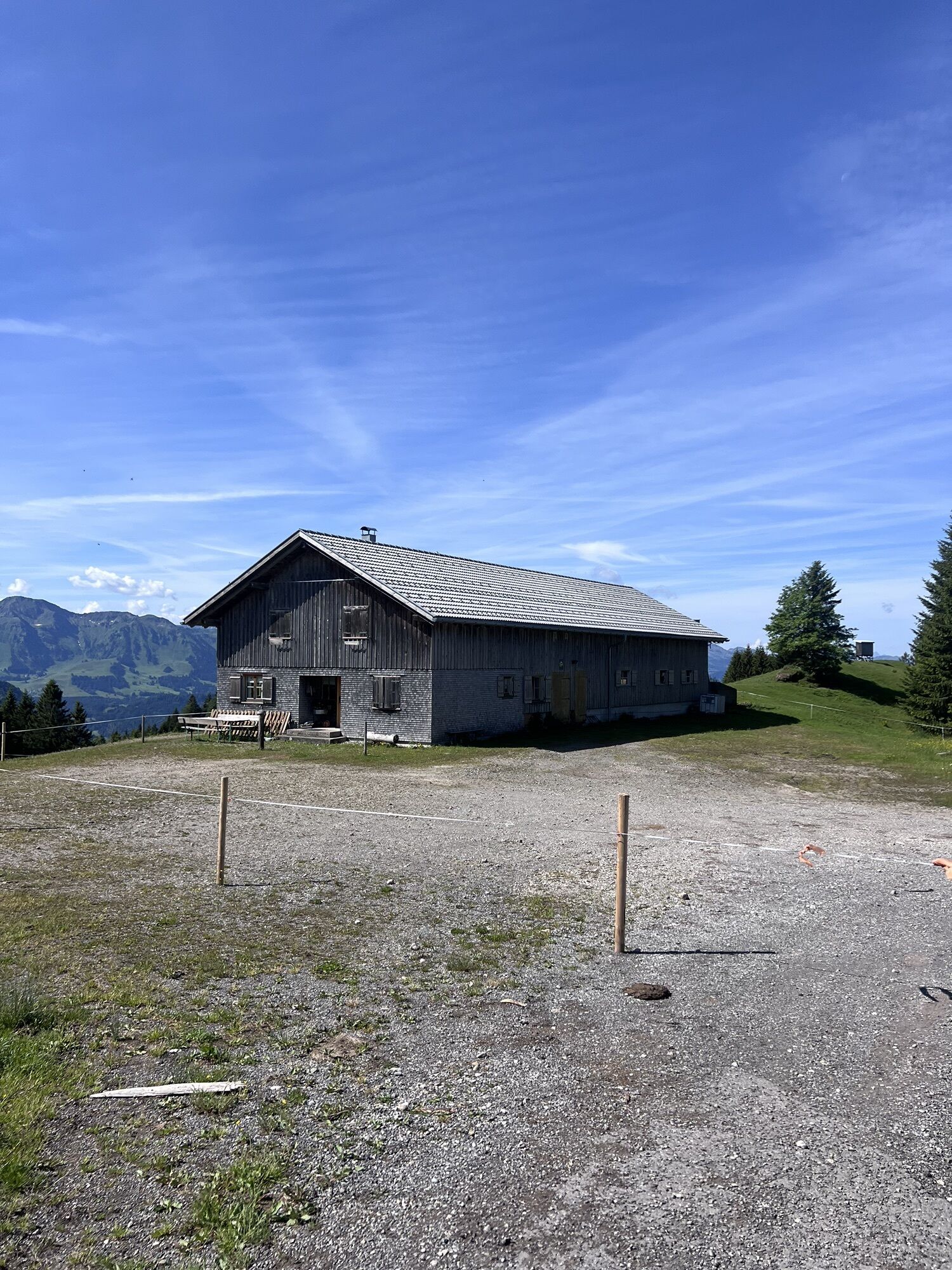
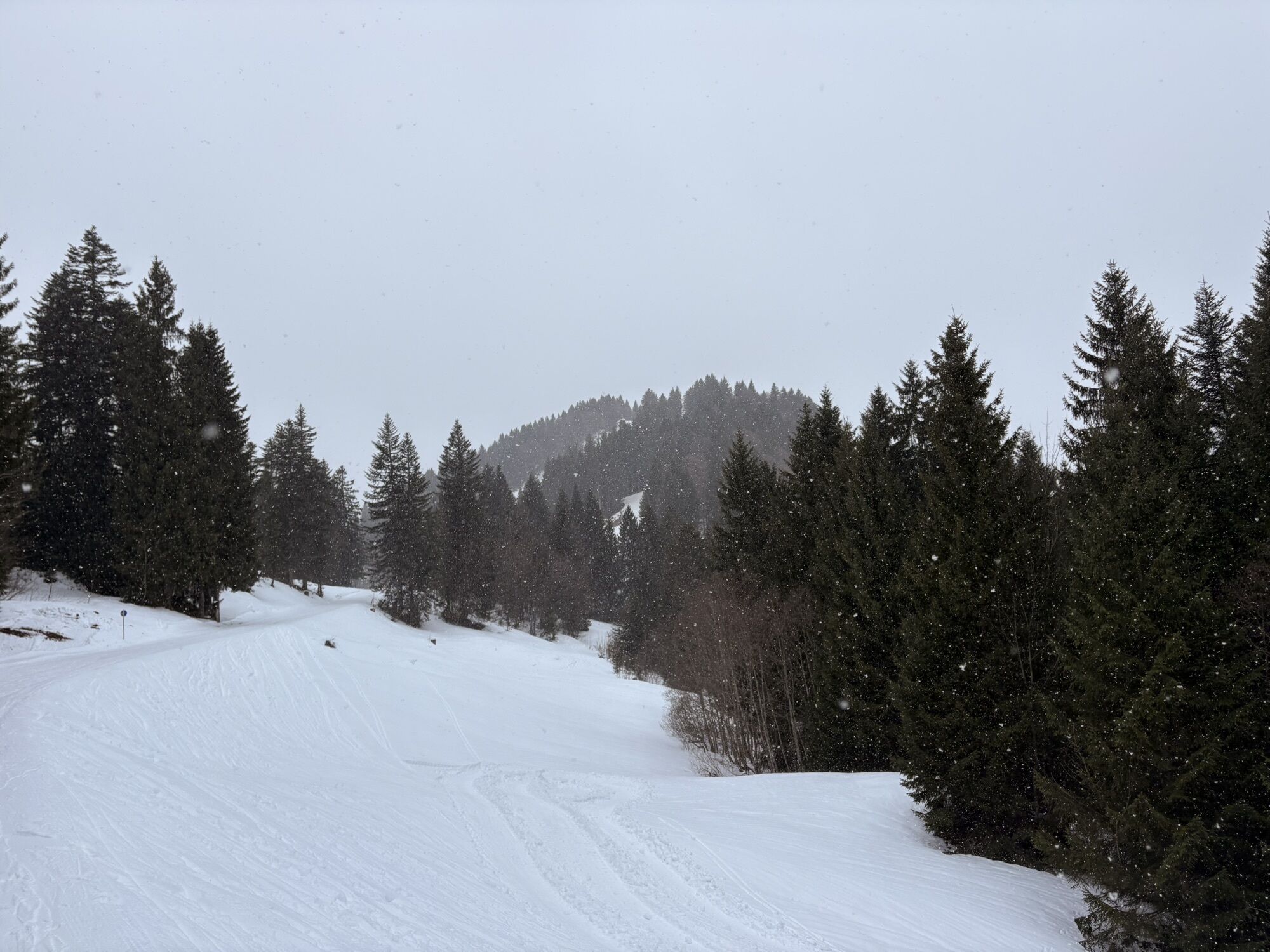
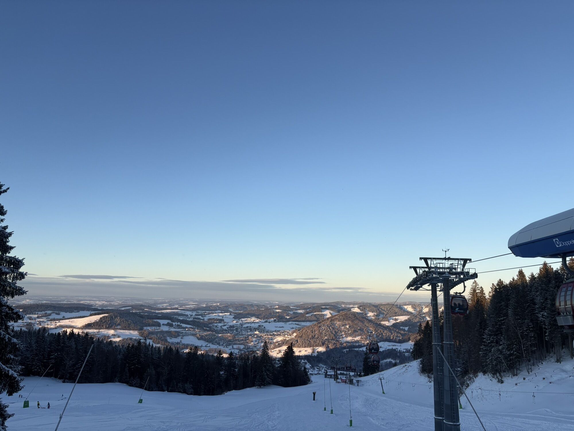
Ascent with the Imbergbahn. From the mountain station, follow the alpine path to the Berggasthof Hochbühl (refreshment opportunity) and further downhill to the Lanzenbach. From here, uphill to the Alpengasthof...
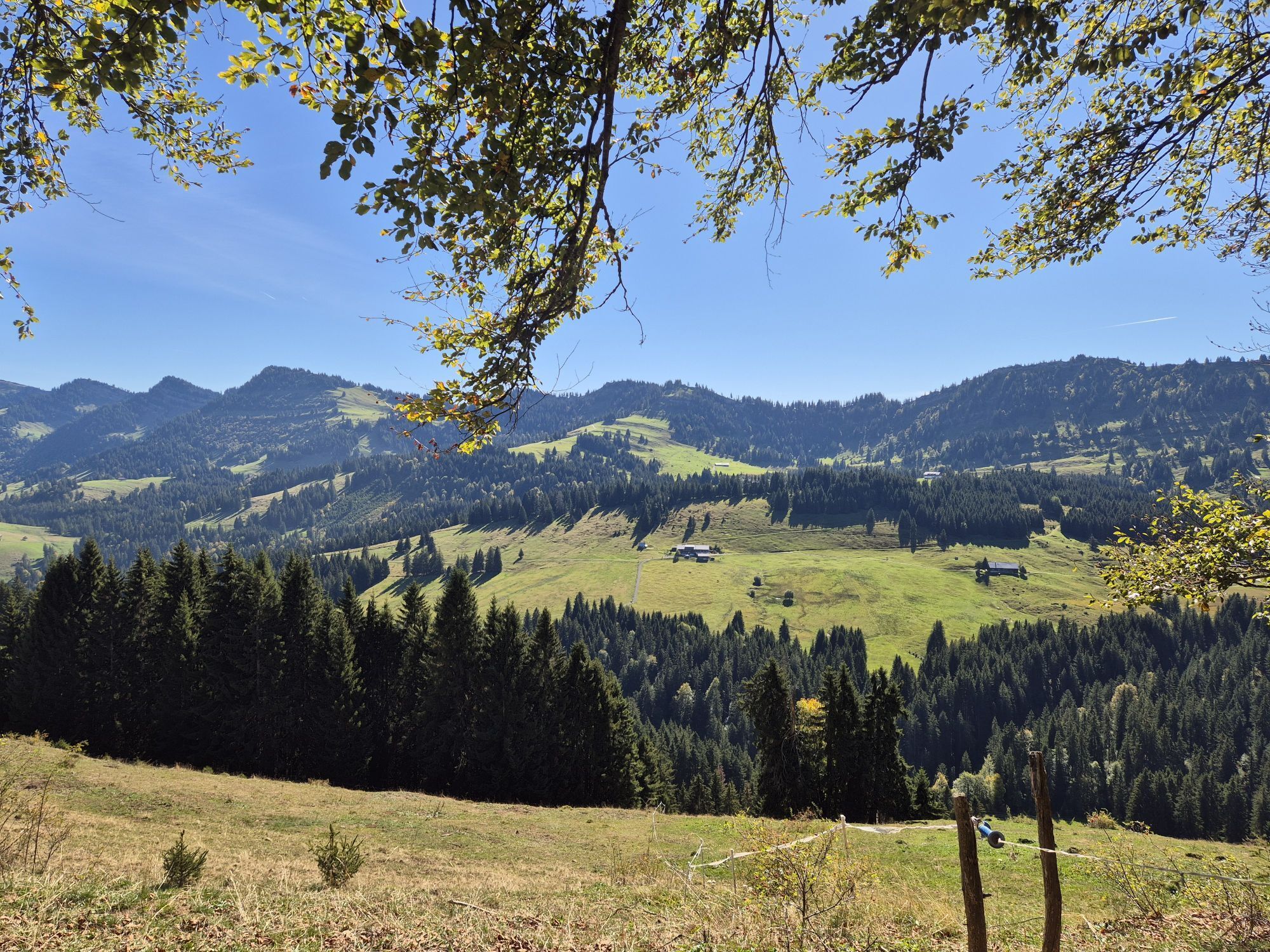
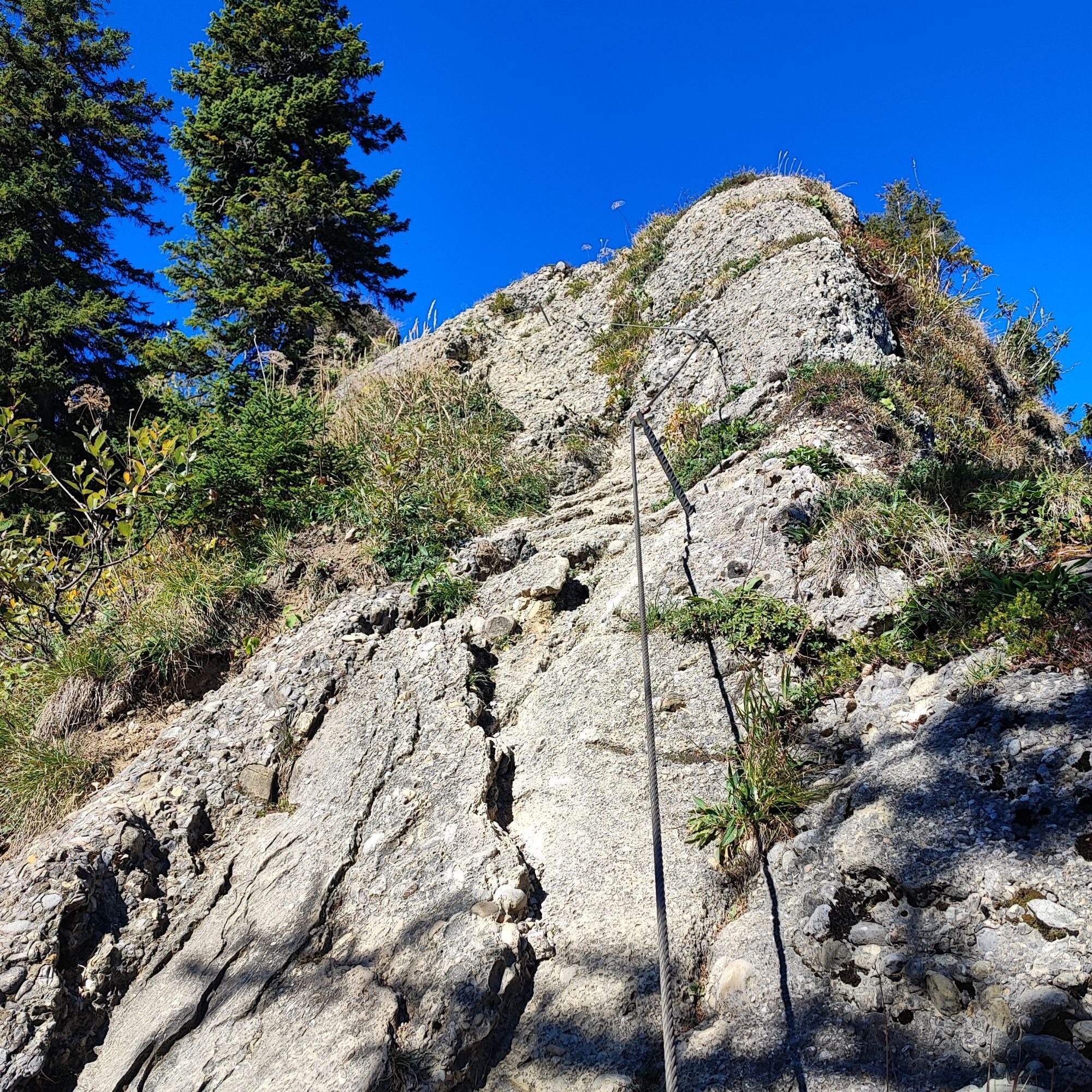
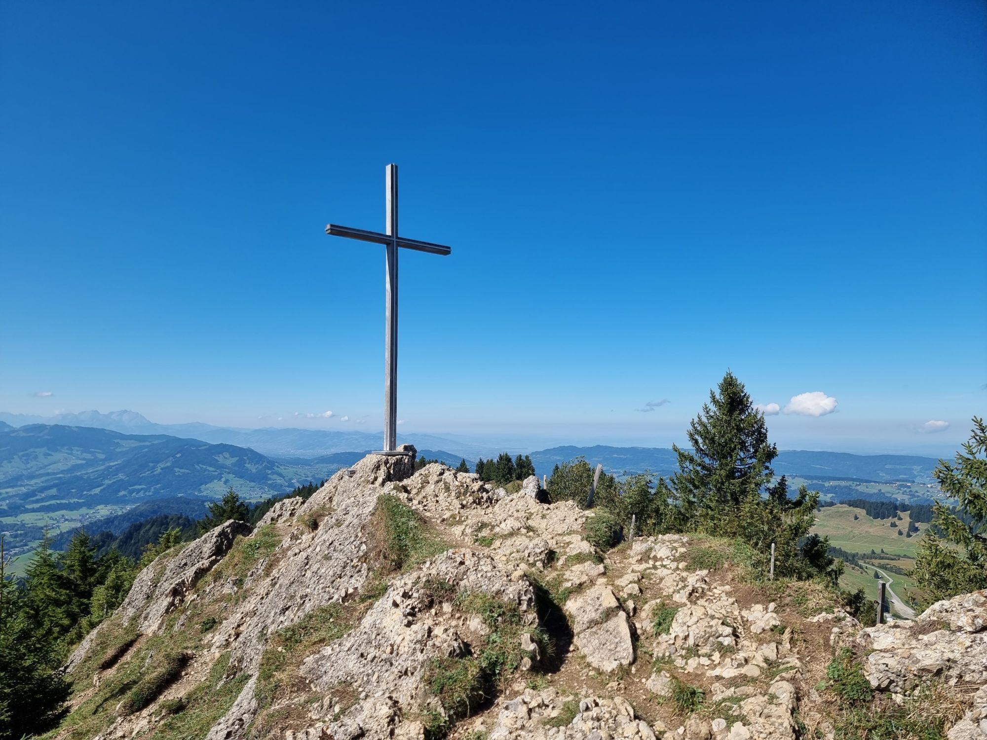
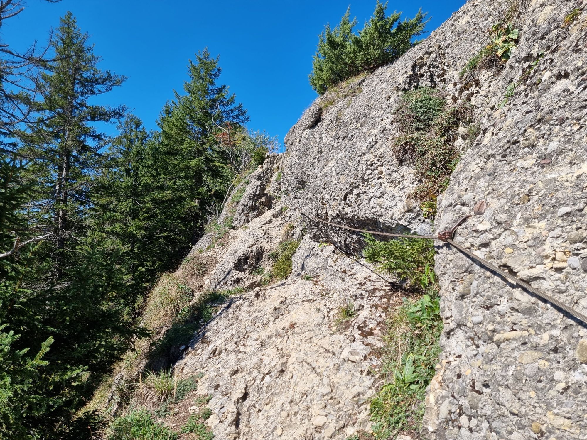
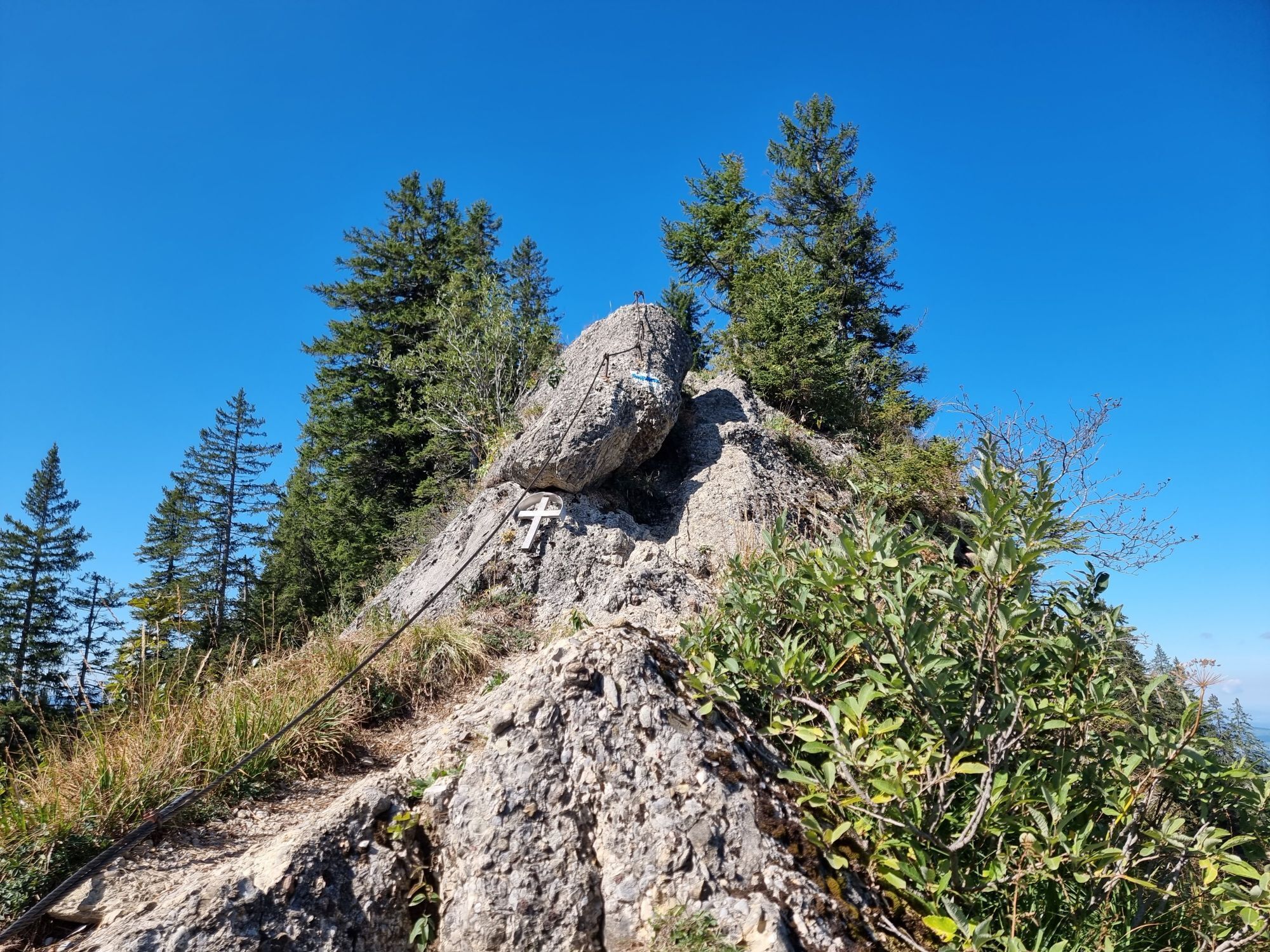
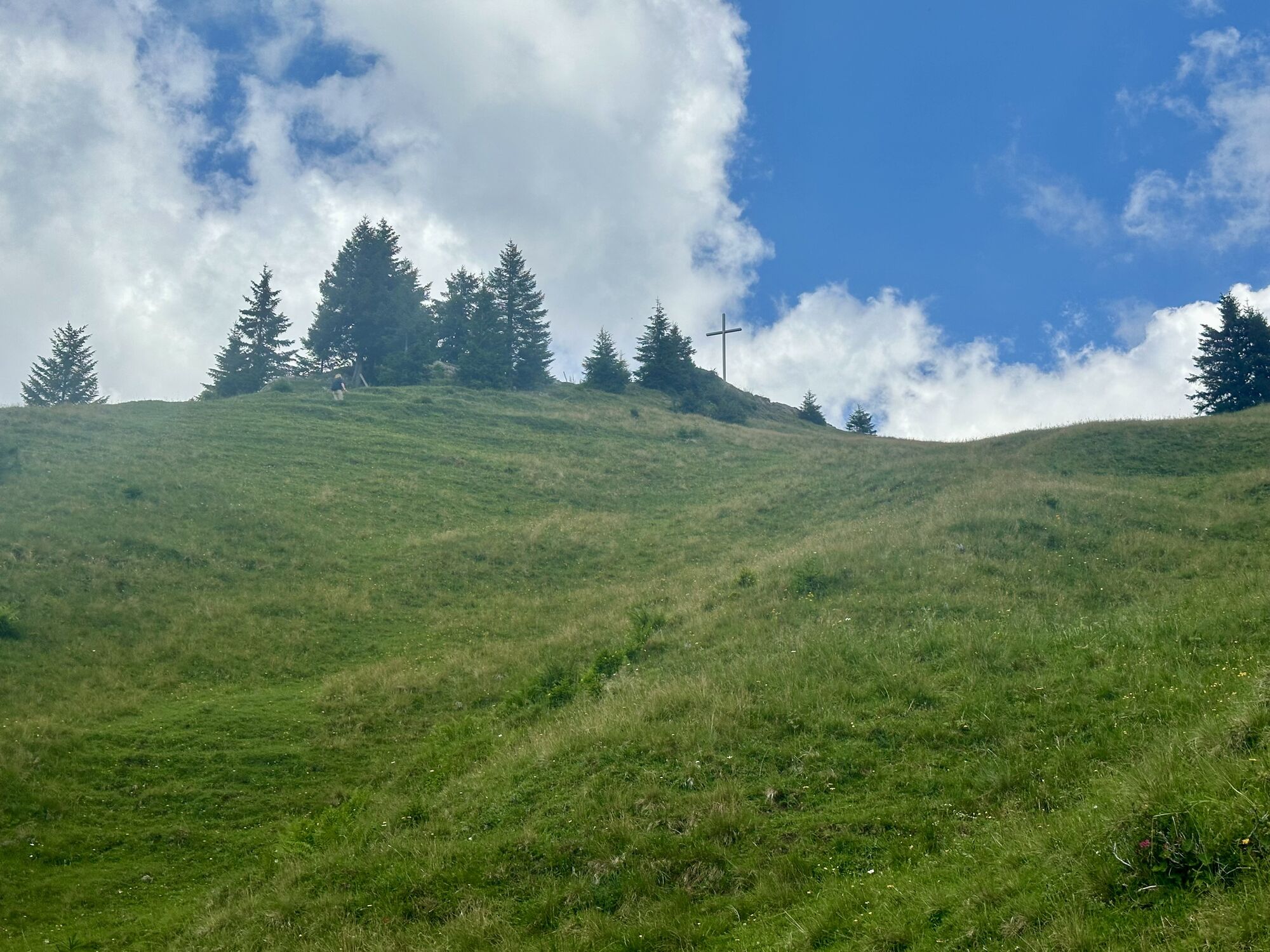
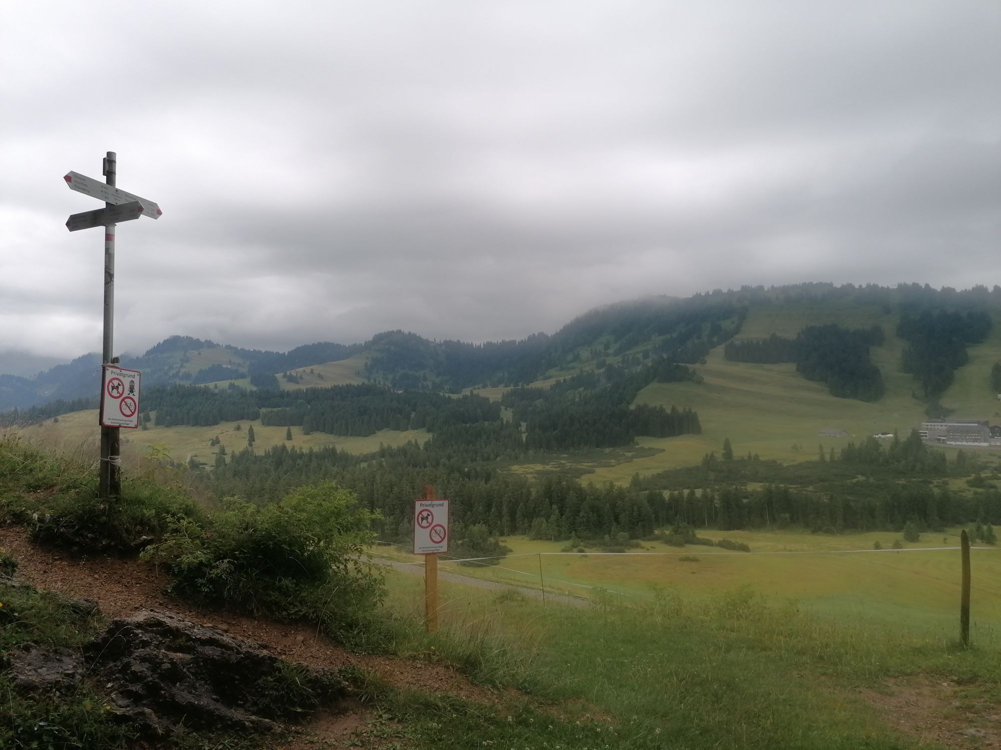
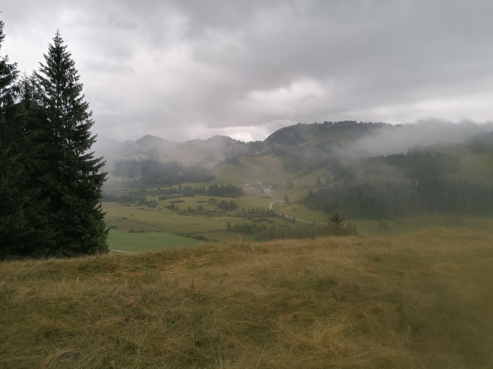
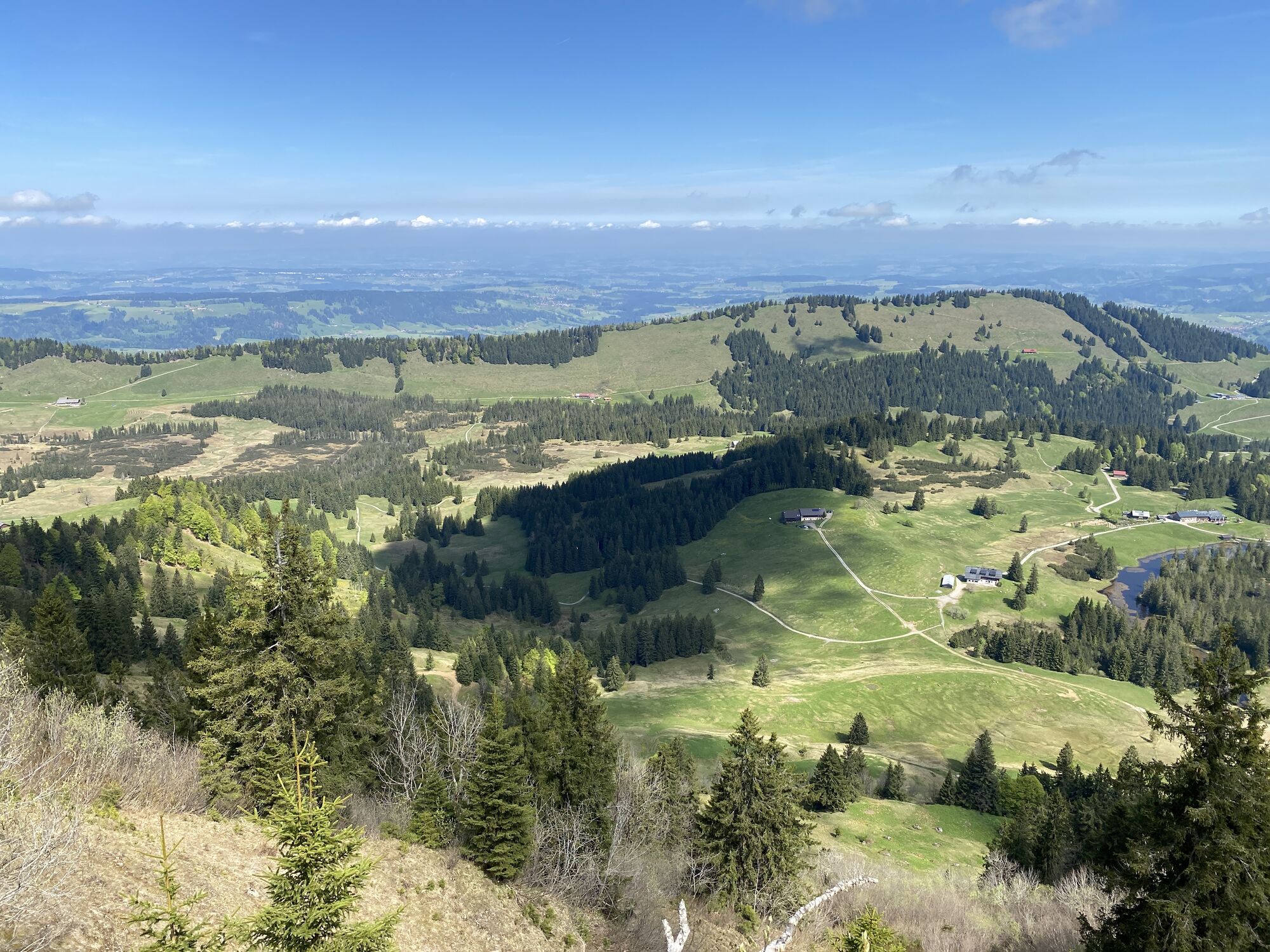
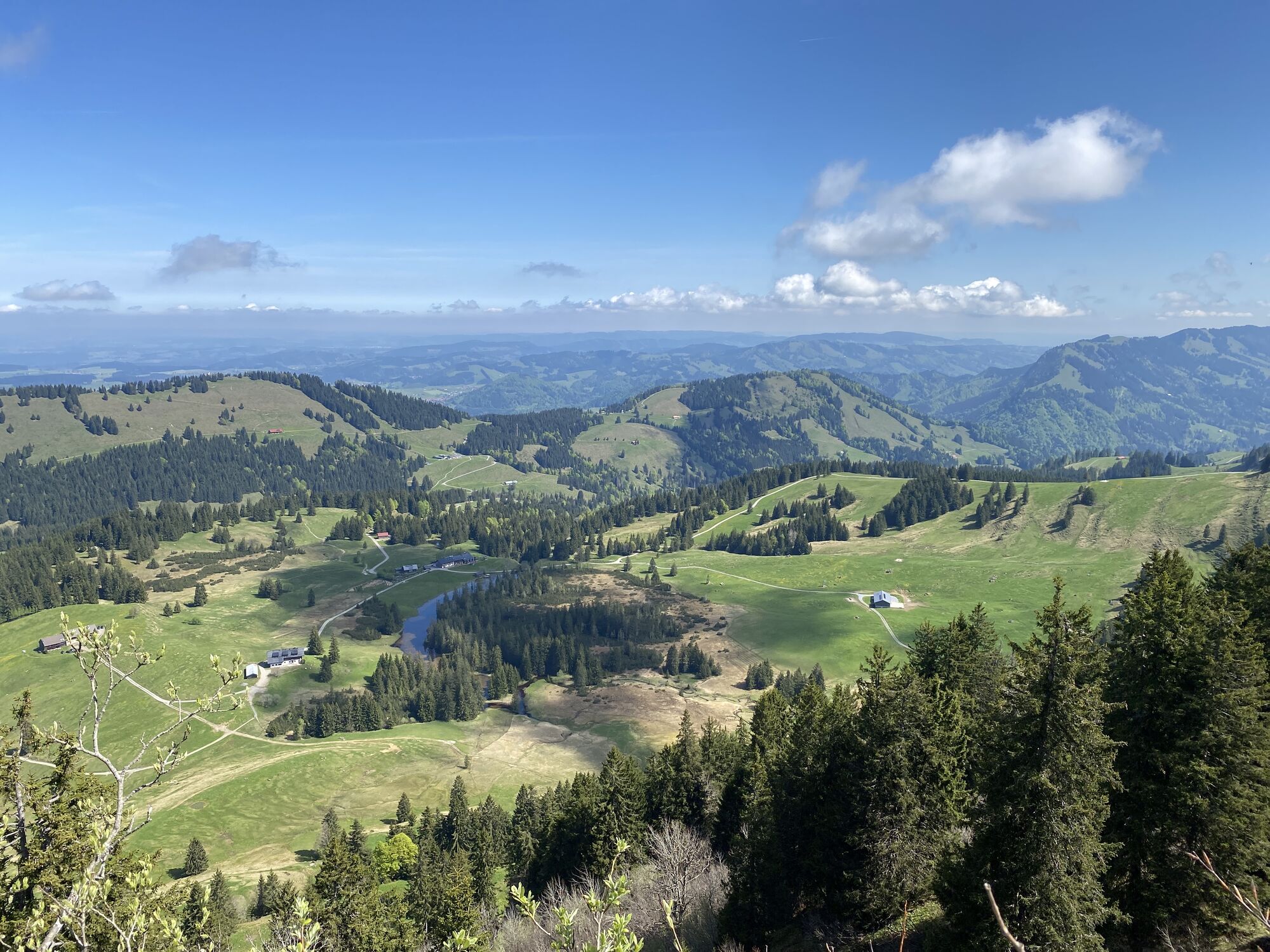
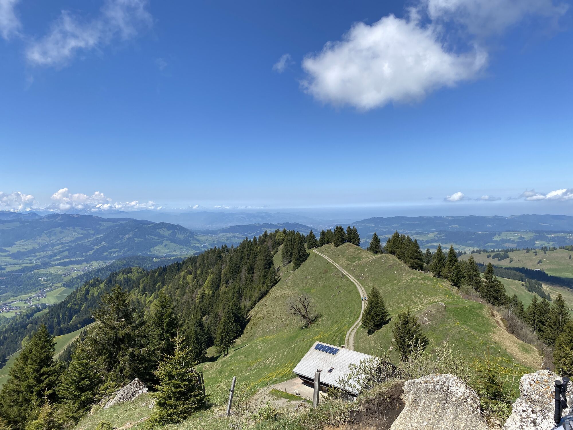
Ascent with the Imbergbahn. From the mountain station, follow the alpine path to the Berggasthof Hochbühl (refreshment opportunity) and further downhill to the Lanzenbach. From here, uphill to the Alpengasthof Hörmoos (refreshment opportunity) and further along the alpine path towards Berggasthof Falkenhütte, until halfway a path branches off to the right towards Falken. Soon, the route continues along the ridge westwards, demanding, over the Falkenköpfe to the summit of Hoch Häderich. This section is partially secured with wire ropes and requires surefootedness and a head for heights.
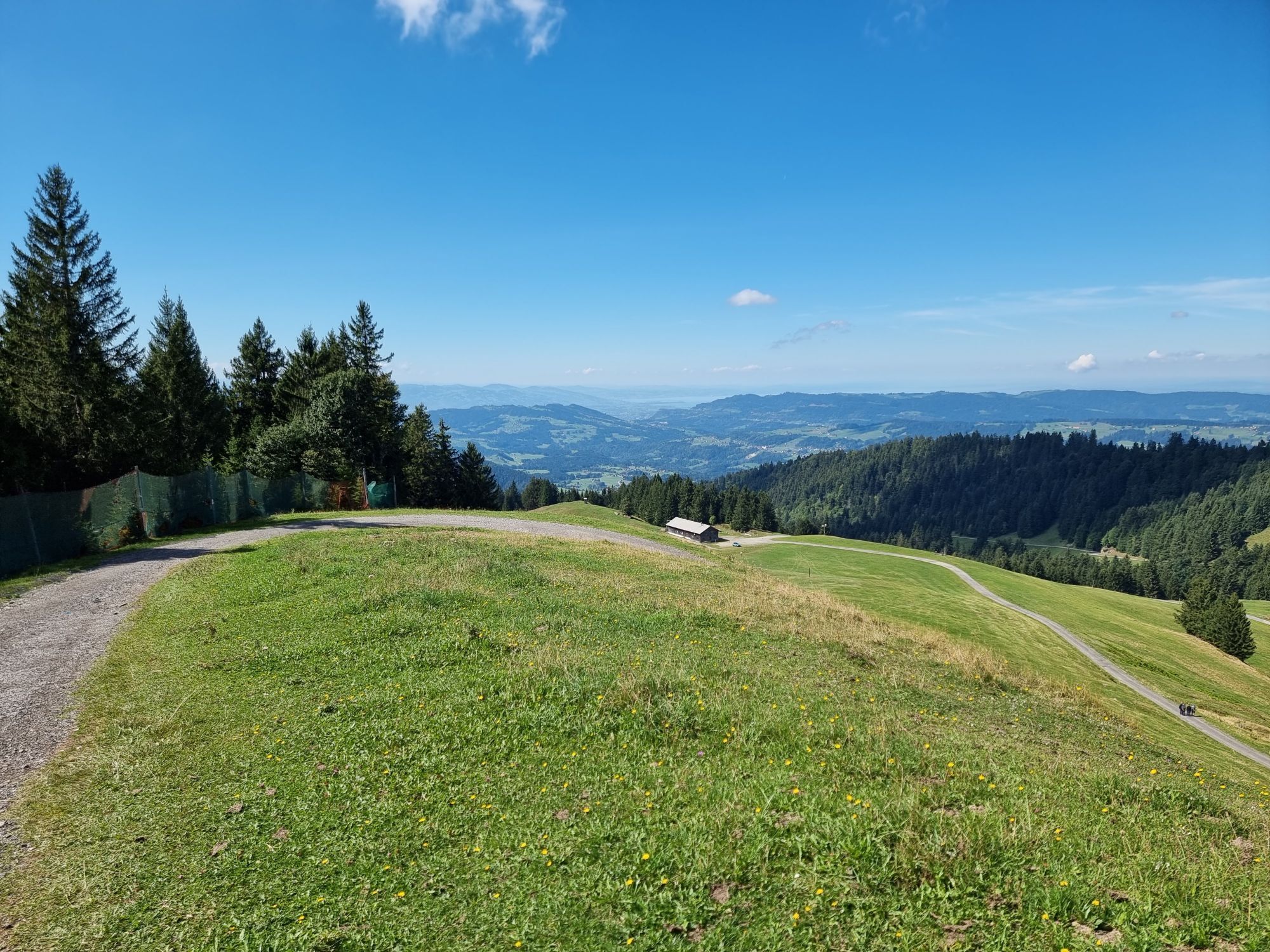
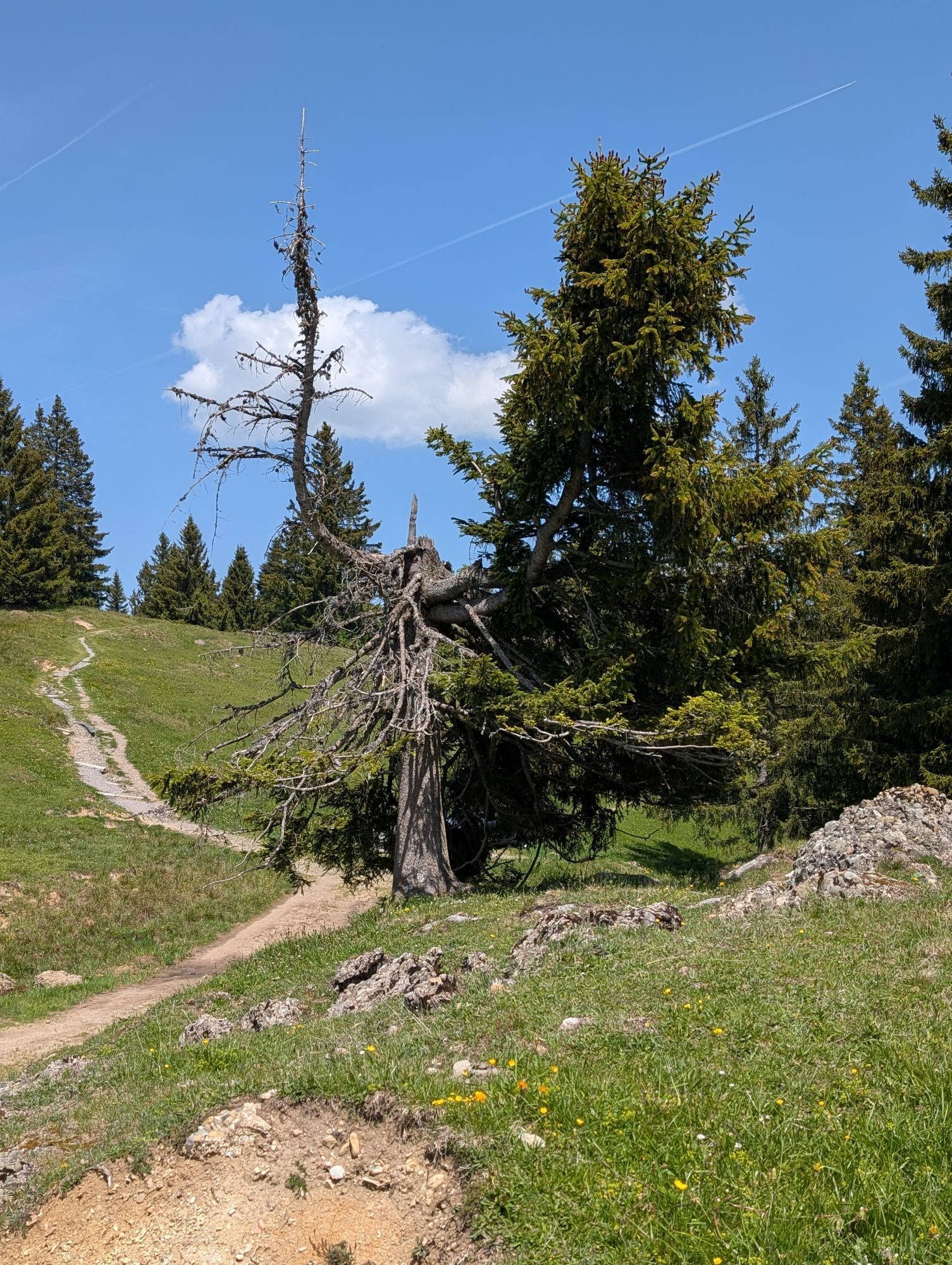
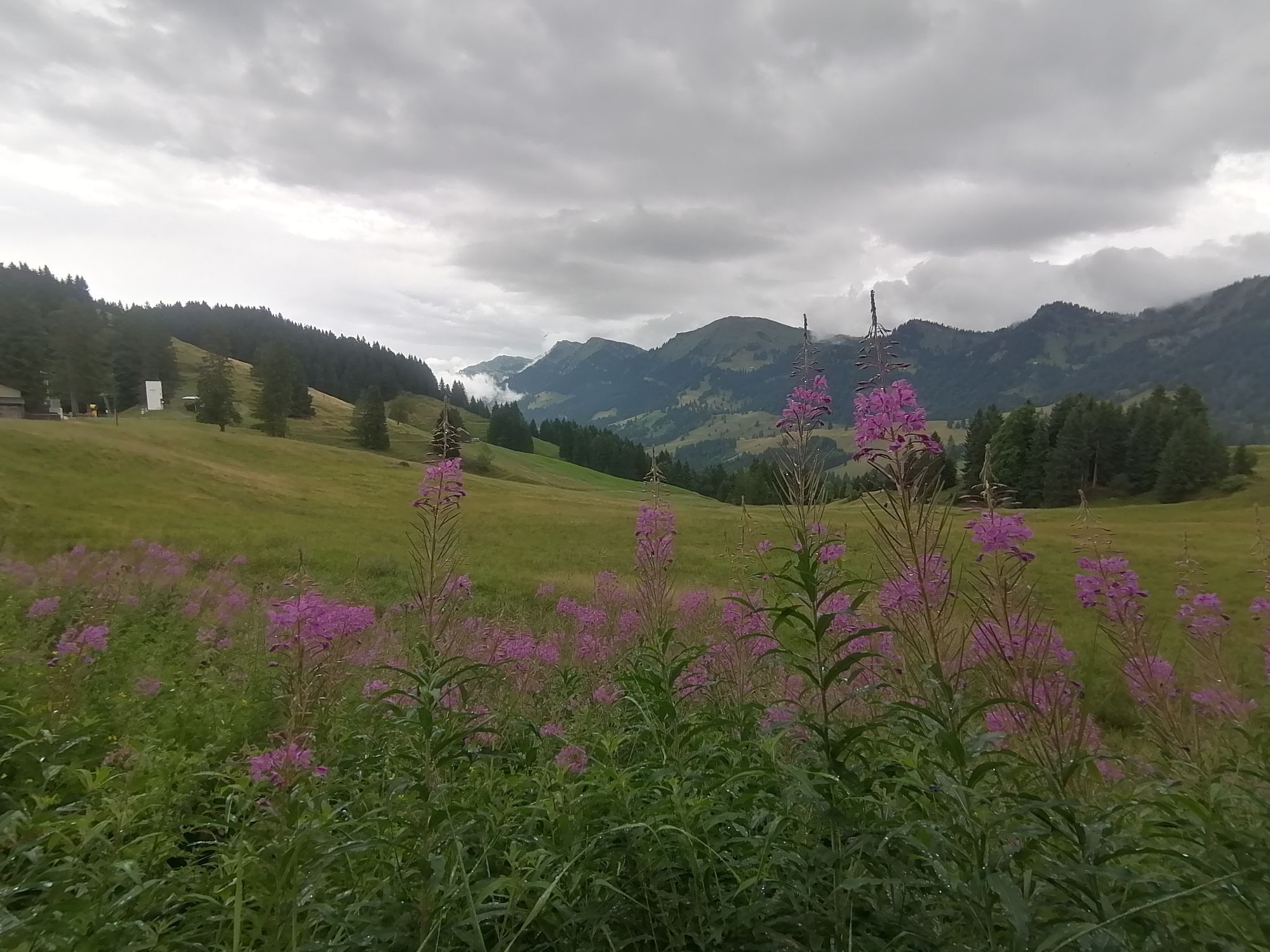
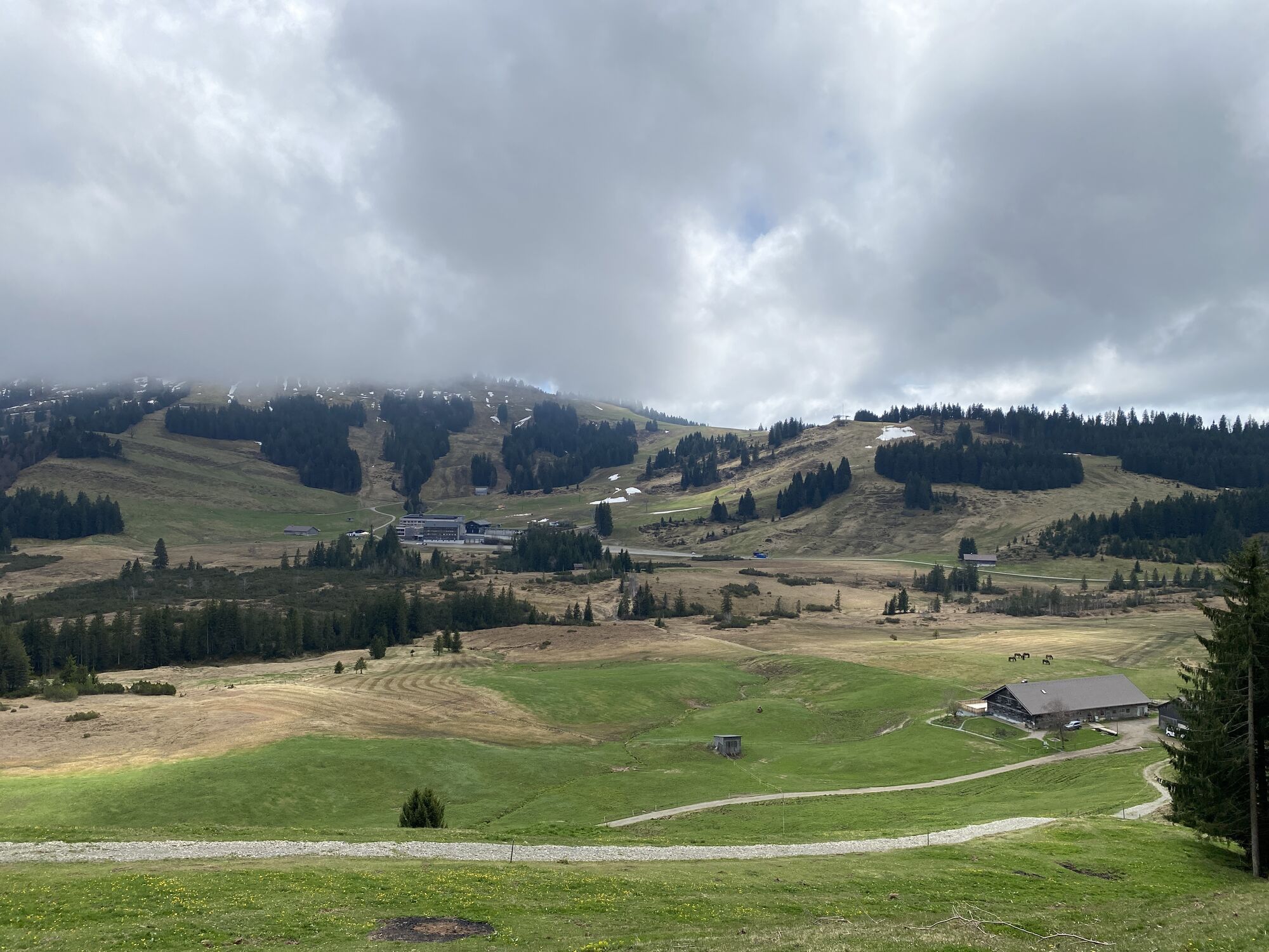
From the summit of Hoch Häderich, you reach a well-developed alpine path to the valley station of the ski lifts. Those who wish can refresh themselves at the Hochhäderich Alpe or the Almhotel. At the western end of the parking lot, a path leads through the moor to the Moosalpe (refreshment opportunity). In a loop via the viewpoint Kojenstein, continue to Steinernes Tor. From there, the path continues with views near the ridge to the mountain station of the Fluhexpress. Downhill, the route leads back to the mountain station.
Important information for hikers with dogs:
Along this recommended route, bringing dogs is not allowed on the following private paths and inns in the Kojenmoos area by the landowners: around Alpe Moos, including the direct connecting paths to Alpe Glutschwanden, Alpe Kojen, Steinernes Tor, and Almhotel Hochhäderich; around Hörmoos Lake; at the alpine inn Hochwies. Dog owners are advised to use other paths or inns.

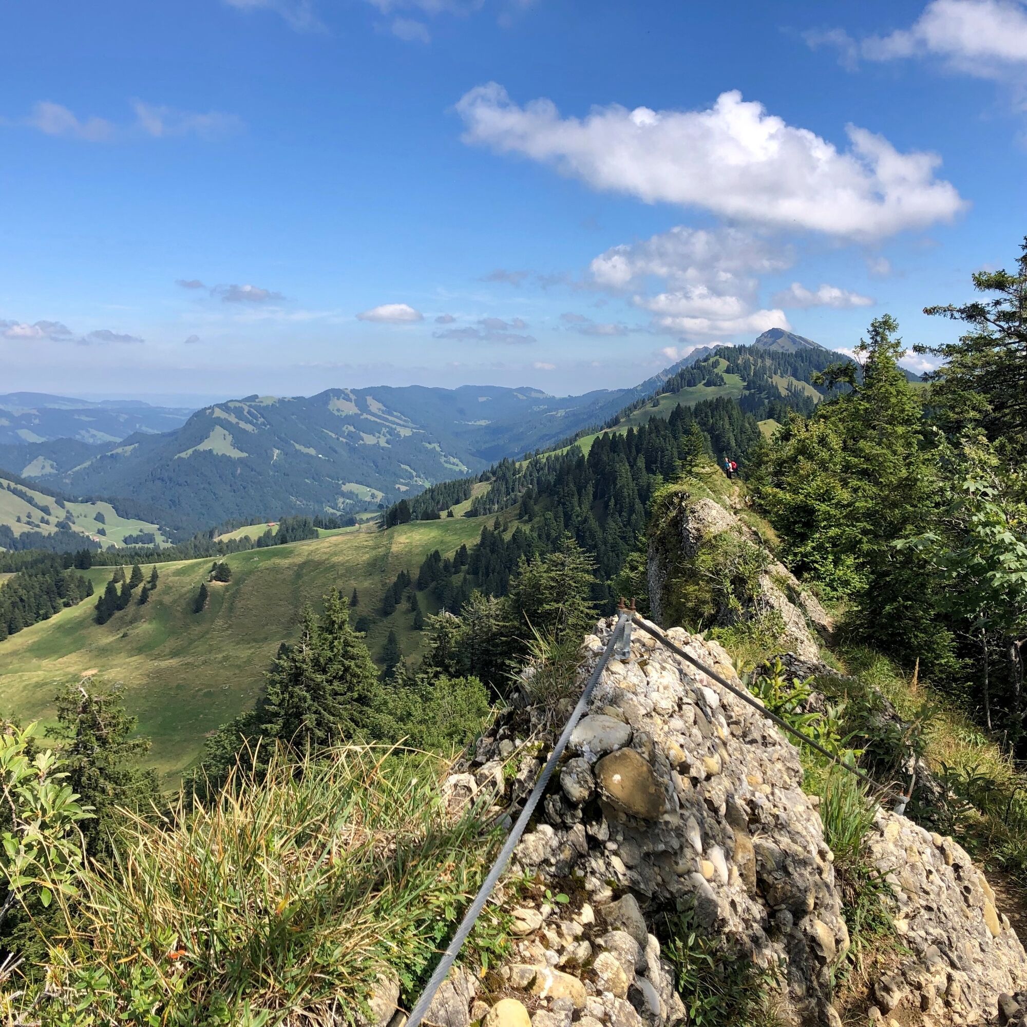
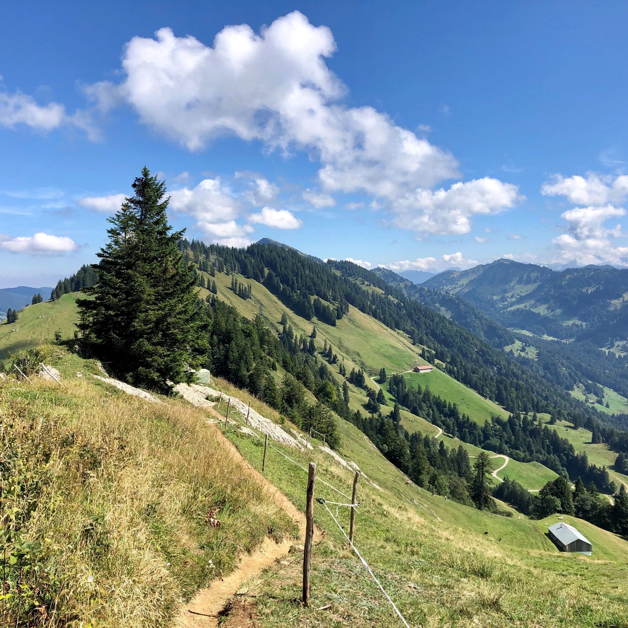
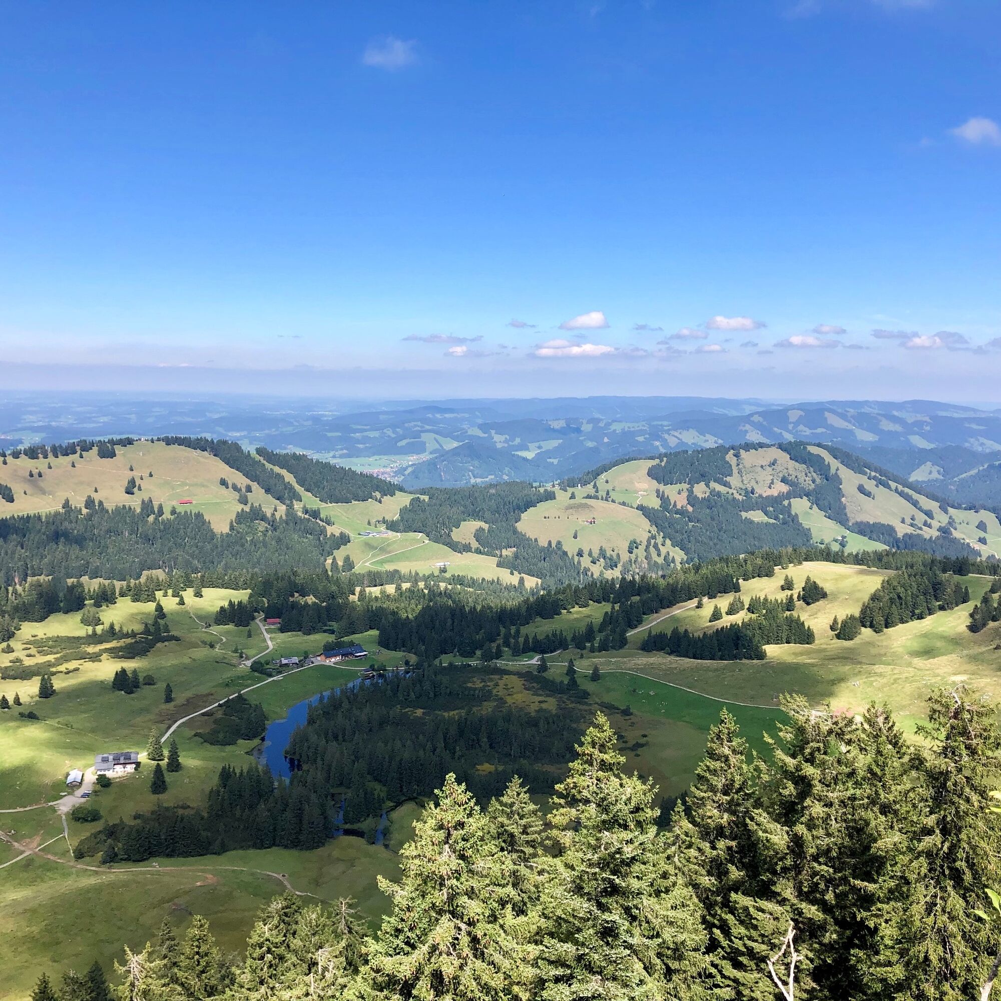

Imbergbahn mountain station - Berggasthof Hochbühl - Lanzenbach - Alpengasthof Hörmoos - Berggasthof Falkenhütte - Falken - Hoch Häderich - Hochhäderich Alpe - Moosalpe - Kojenstein - Steinernes Tor - Fluh - Imbergbahn mountain station
Ano
Important information for hikers with dogs:
Along this recommended route, bringing dogs is not allowed on the following private paths and inns in the Kojenmoos area by the landowners: around Alpe Moos, including the direct connecting paths to Alpe Glutschwanden, Alpe Kojen, Steinernes Tor, and Almhotel Hochhäderich; around Hörmoos Lake; at the alpine inn Hochwies. Dog owners are advised to use other paths or inns.
Check weather conditions in advance Stay on the marked paths Emergency number 112 or emergency app SOS-EU-ALPVia B 308 to Oberstaufen. Continue to Steibis.
Bus (line 95) from Oberstaufen station to Steibis - Imbergbahn
Travel by bus and train in and around Oberstaufen?
Information, bus timetables, and an overview map at oberstaufen.de/bus-parken
Parking spaces at the Imbergbahn valley station
Please note: in good weather the parking lot can already be full early in the morning
Important information for hikers with dogs:
Along this recommended route, bringing dogs on the following private paths and inns in the Kojenmoos area is not permitted by the landowners:
Around Alpe Moos, including direct connecting paths to Alpe Glutschwanden, Alpe Kojen, Steinernes Tor, and Almhotel Hochhäderich. Around Hörmoos Lake At the alpine inn HochwiesDog owners are advised to use other paths or inns.
A leash obligation applies in the Kojenmoos nature reserve. Additionally, the alpine livestock and nature thank you for disposing of dog waste in the designated dog waste bins. We thank you for your understanding and consideration.
More information on nature-compatible behavior with your four-legged friend at oberstaufen.de/hund or freiraum-lebensraum.info/guidelines/hunde
Webové kamery z prohlídky
Alpenarena Hochhäderich
Hochlitten Riefensberg / Bregenzerwald
Hochgratbahn Bergstation
Oberstaufen - Biohotel Schratt
Oberstaufen - Biohotel Schratt
Hittisau
Fluhexpress Berg
Fluhexpress Berg
Fluhexpress Berg
Fluhexpress Berg
Alpe Hohenschwand
Fluhexpress Bergstation
Hündlebahn Bergstation
Imberghaus
Sibratsgfäll
Oberstaufen - Hörmoos
Alpenarena Hochhäderich

Oblíbené prohlídky v okolí
- 4.7
Winterstaude
středníTuristika 9.30 km - 4.6
Steibis - Buchenegger Waterfalls
středníTuristika 6.47 km - 4.5
Hittisau | Wasserwanderweg
světloTematická stezka 7 km - 4.6
Panoramarundweg Baumgarten - Niedere
světloTuristika 3.76 km - 4.7
Rindalphorn und Hochgrat
středníTuristika 15.6 km - 5.0
Nagelfluh ridge route Hochgrat - Mittag
heavyTuristika 14.0 km - 4.1
Circular route Hündle to the Buchenegger Waterfalls
středníTuristika 9.69 km - 4.5
Hittisau | Rundwanderung von Hittisau zum Hochhäderich
středníTuristika 9.22 km - 4.4
Circular route Steibis to Dreiländerblick
středníTuristika 7.95 km - 4.6
Circular route on the Hochgrat
středníTuristika 4.49 km
Pěší turistika a stopování


Nenechte si ujít nabídky a inspiraci pro vaši příští dovolenou
Vaše e-mailová adresa byl přidán do poštovního seznamu.





