







Alpenfreiheit - premium hiking trail in Oberstaufen
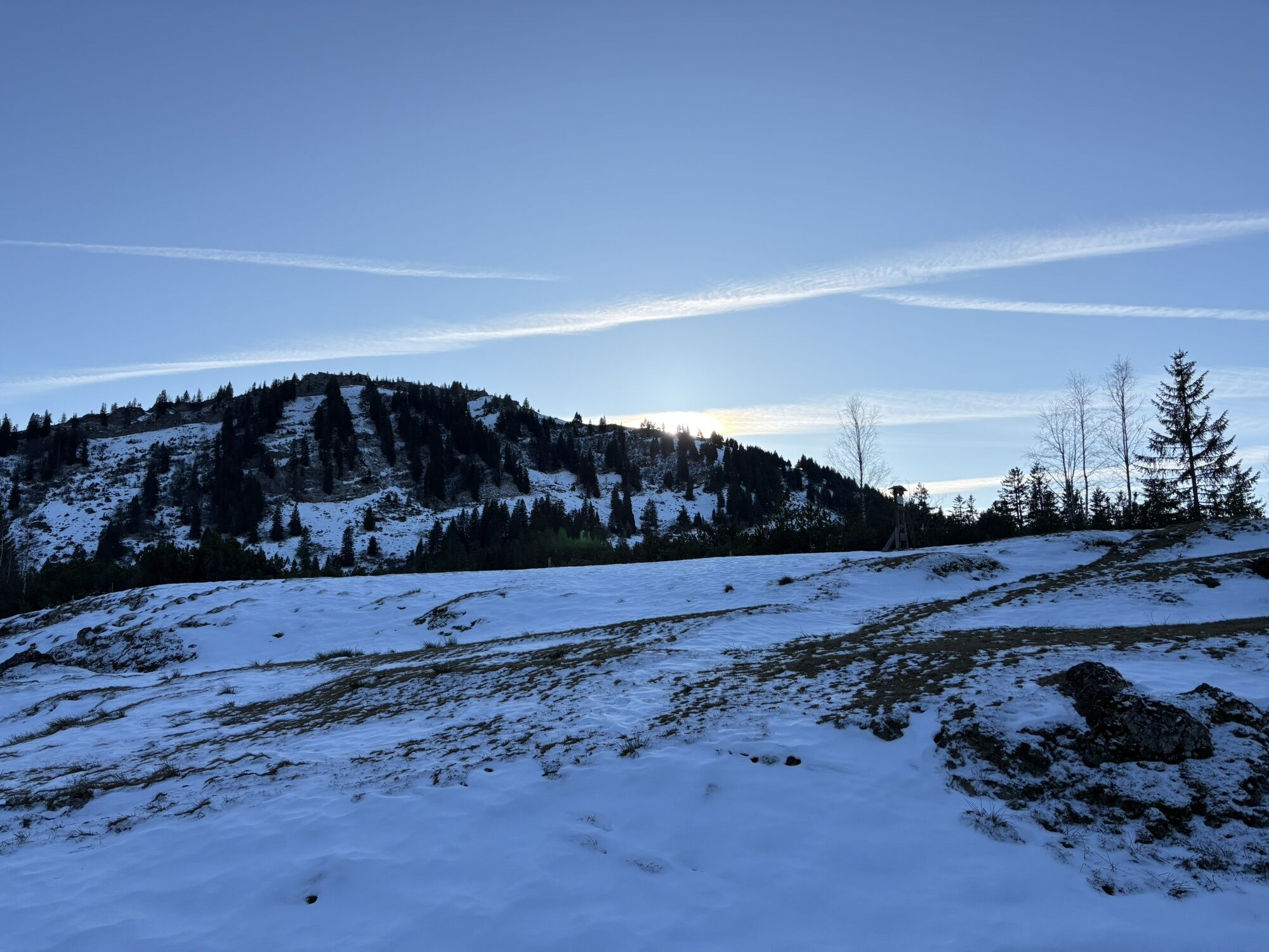
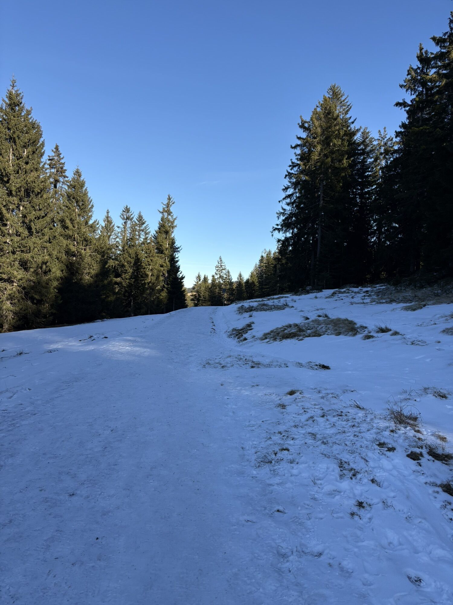
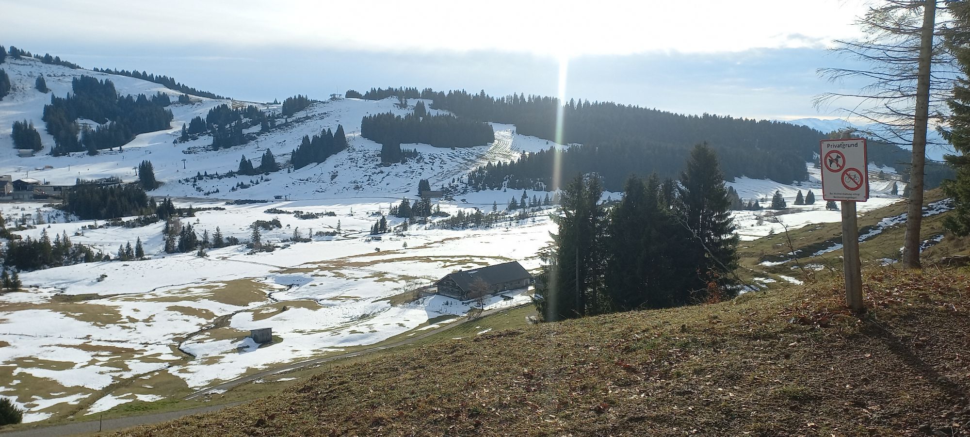
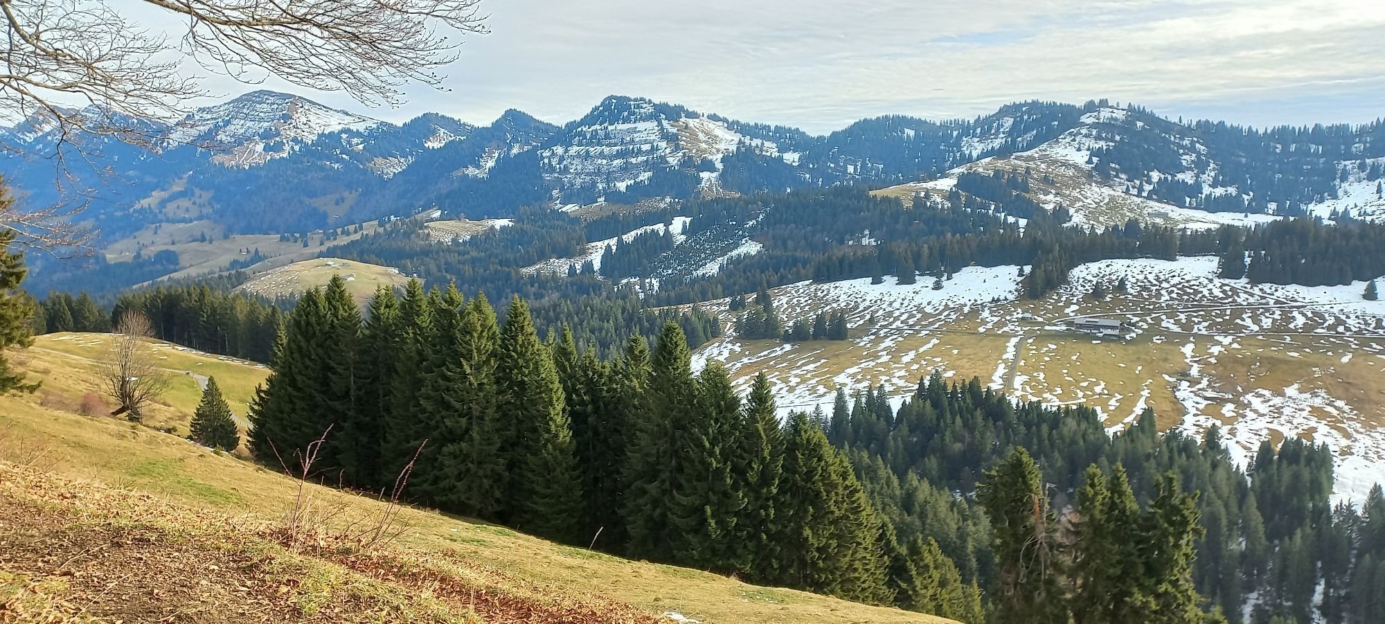
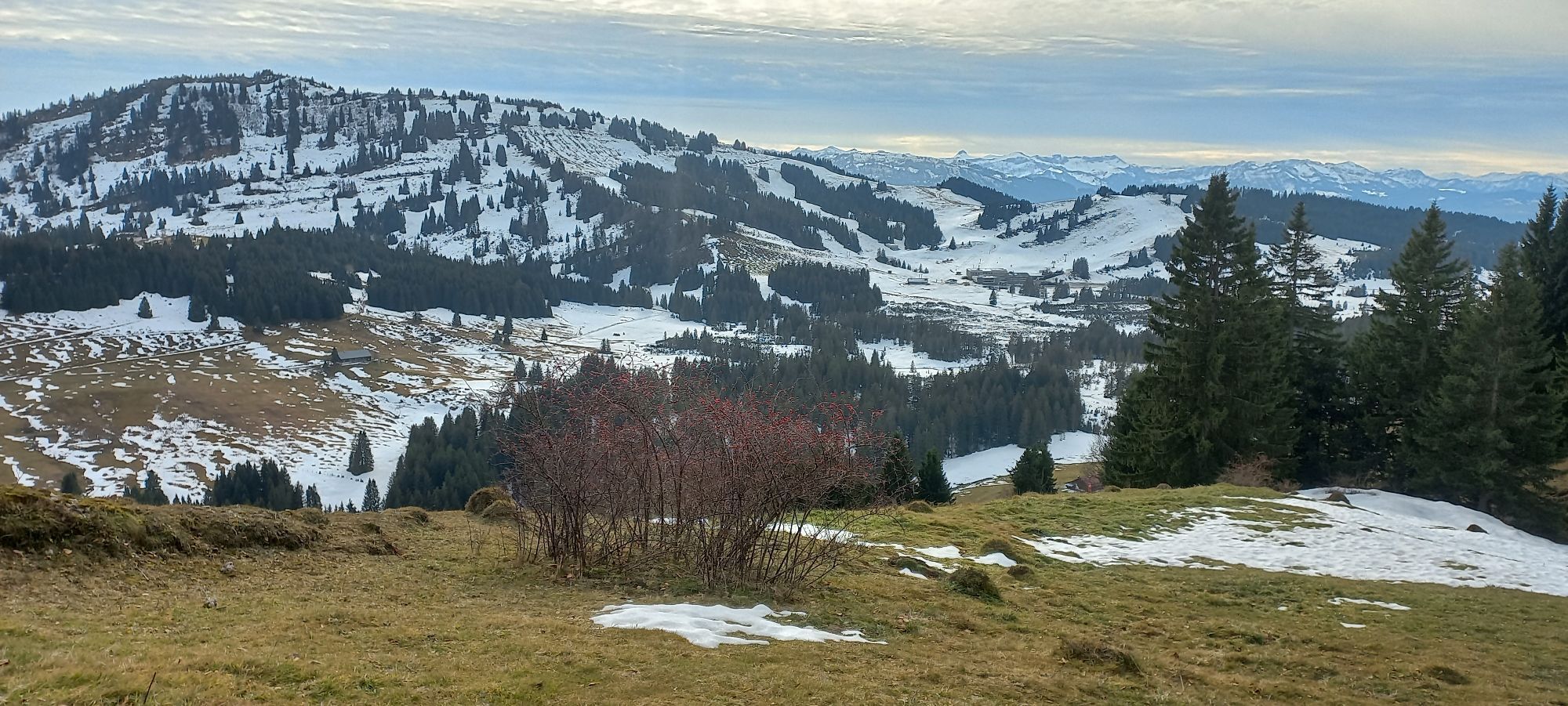
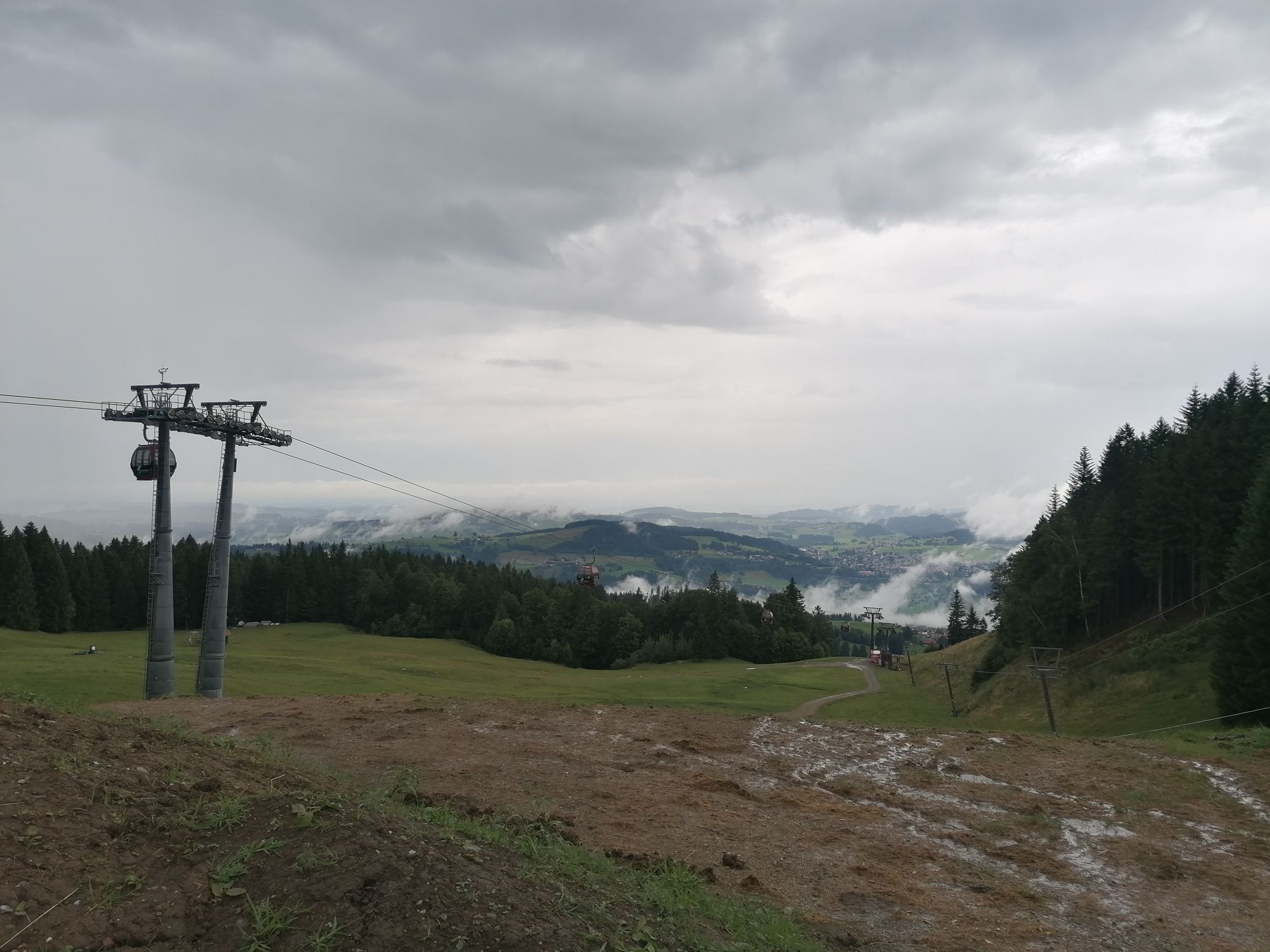
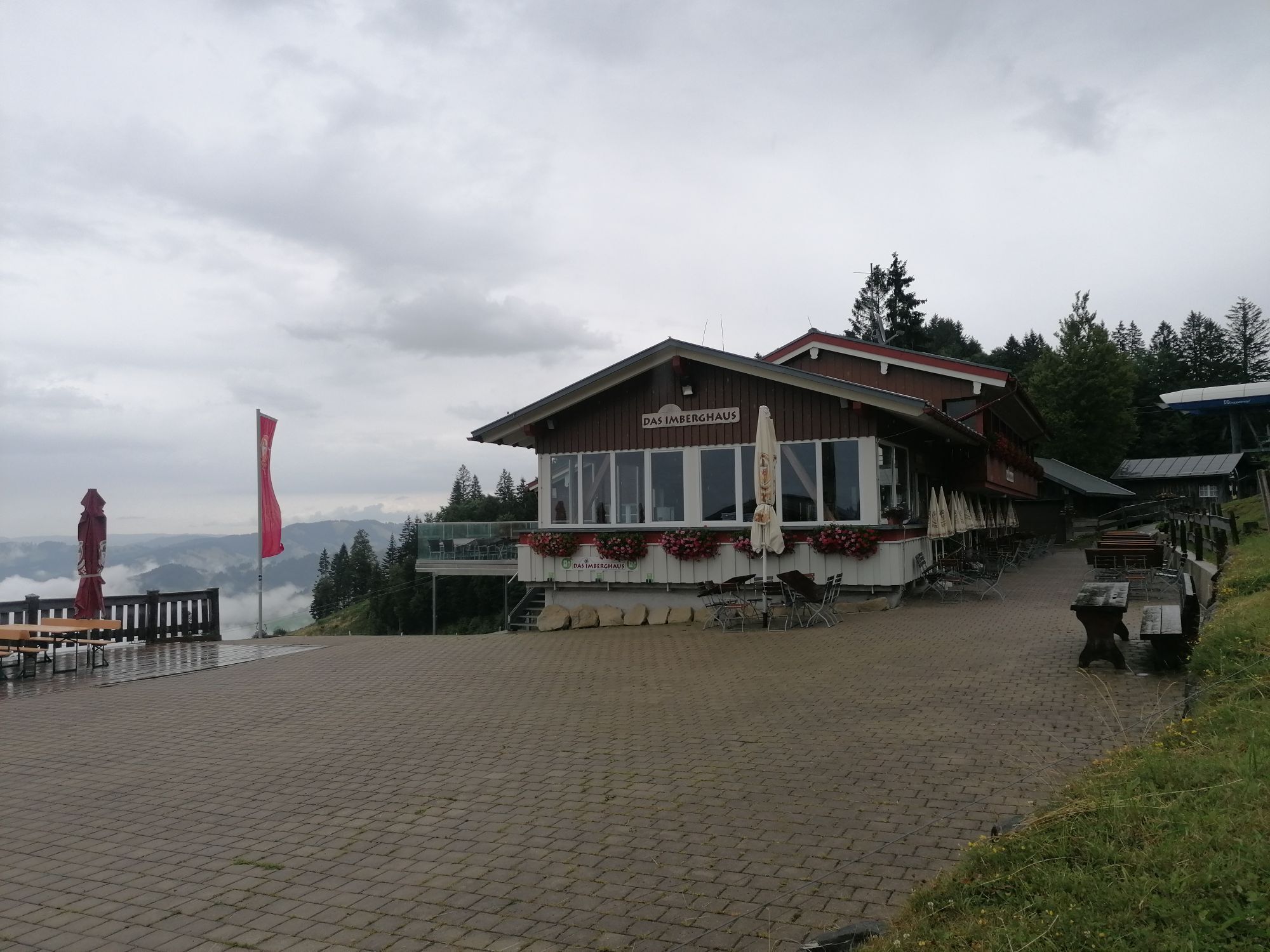
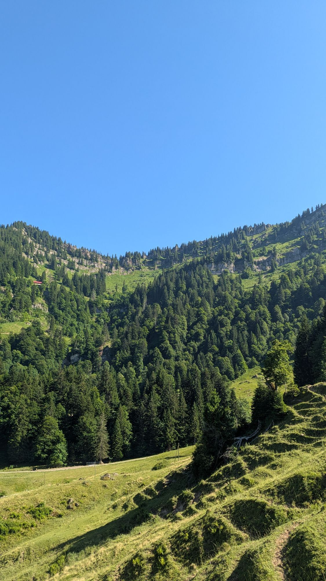
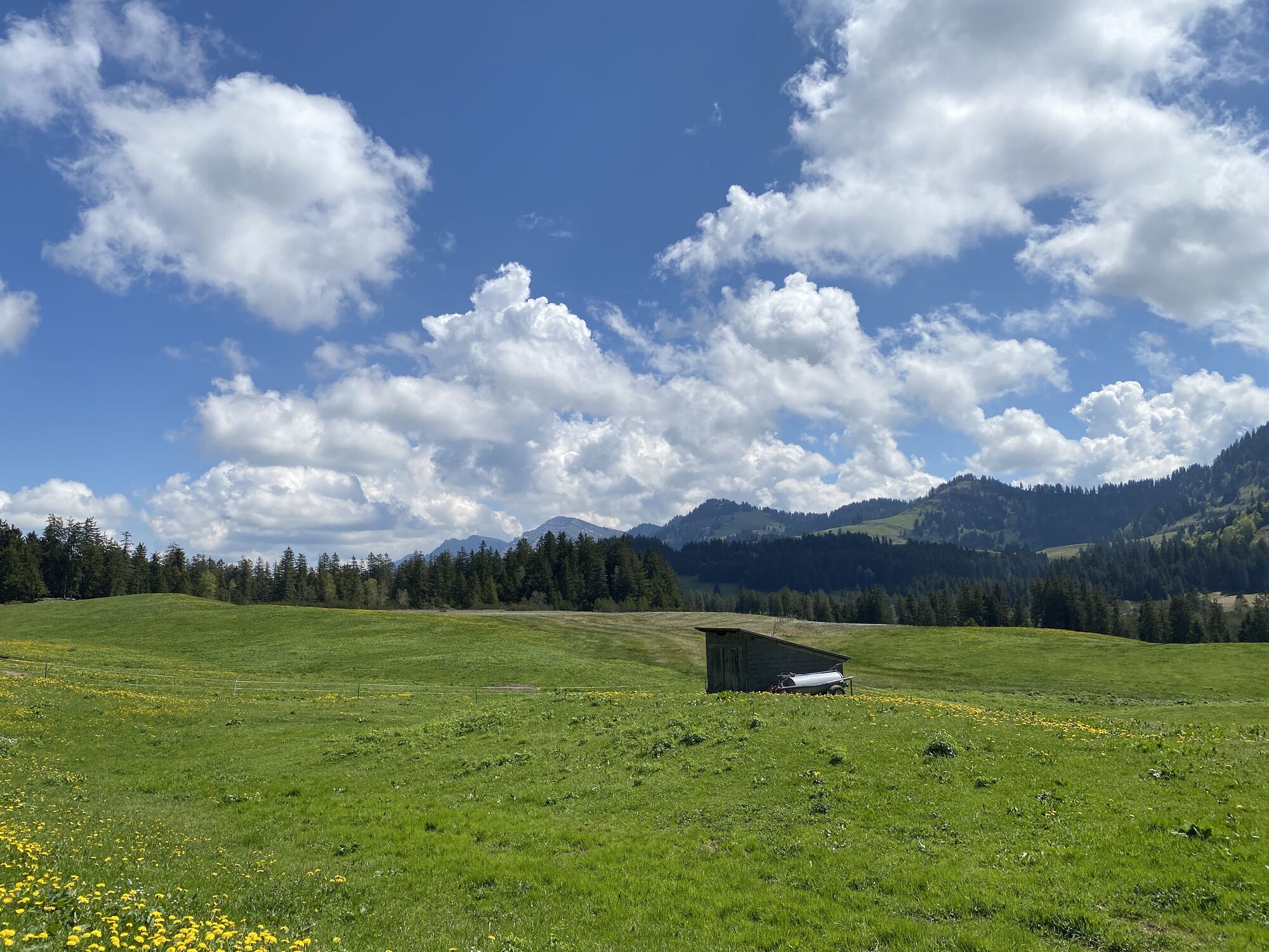
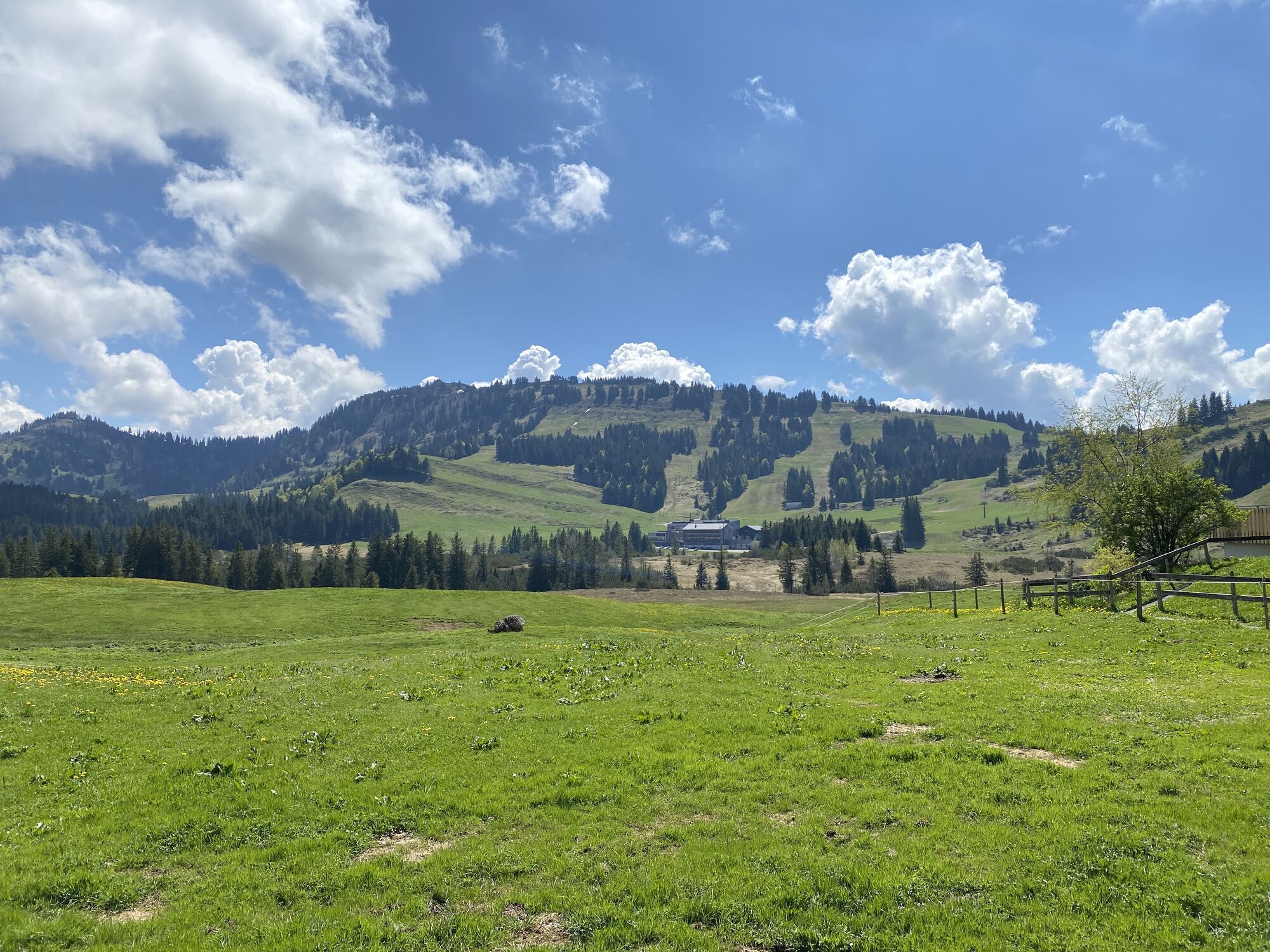

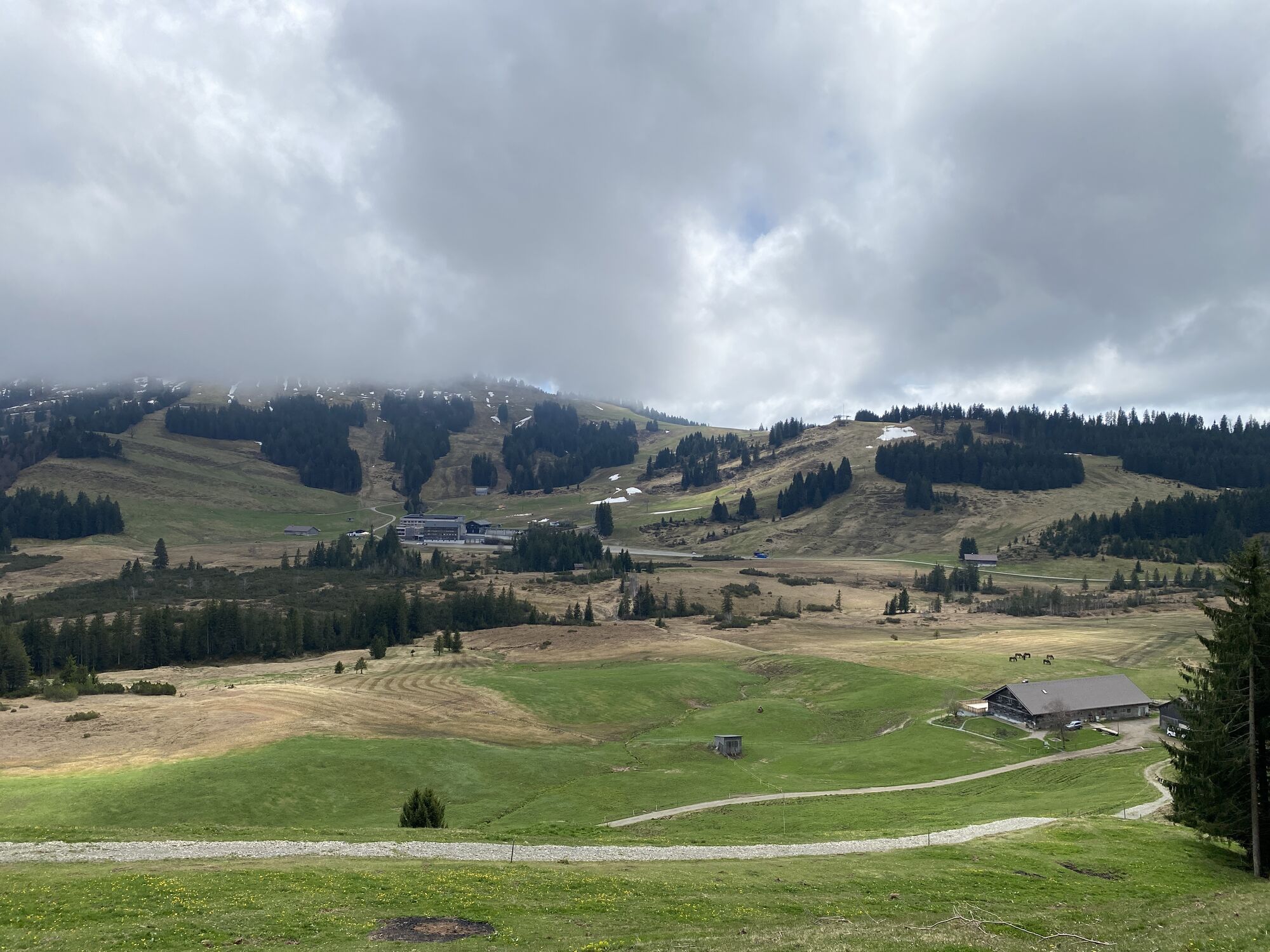
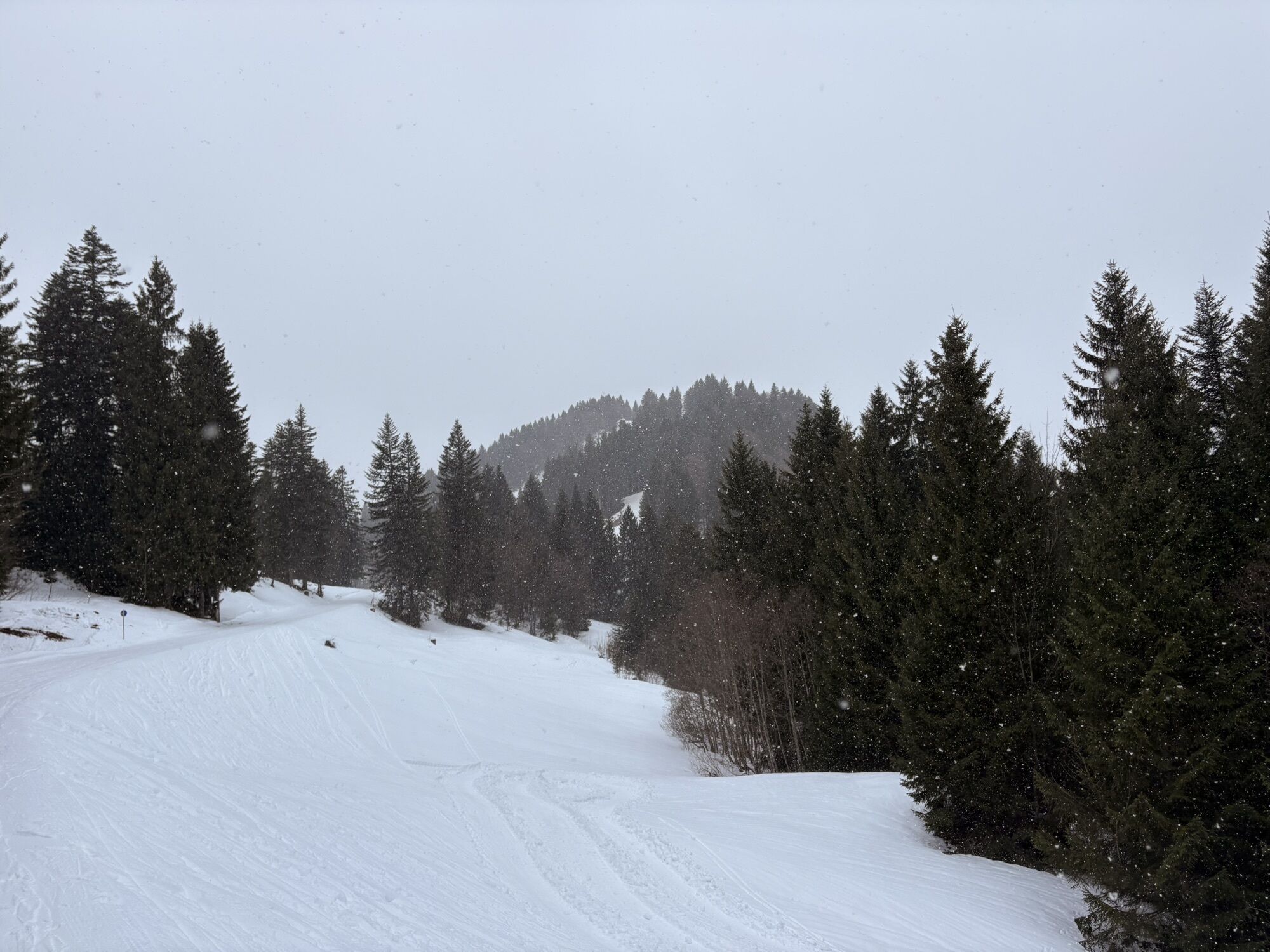
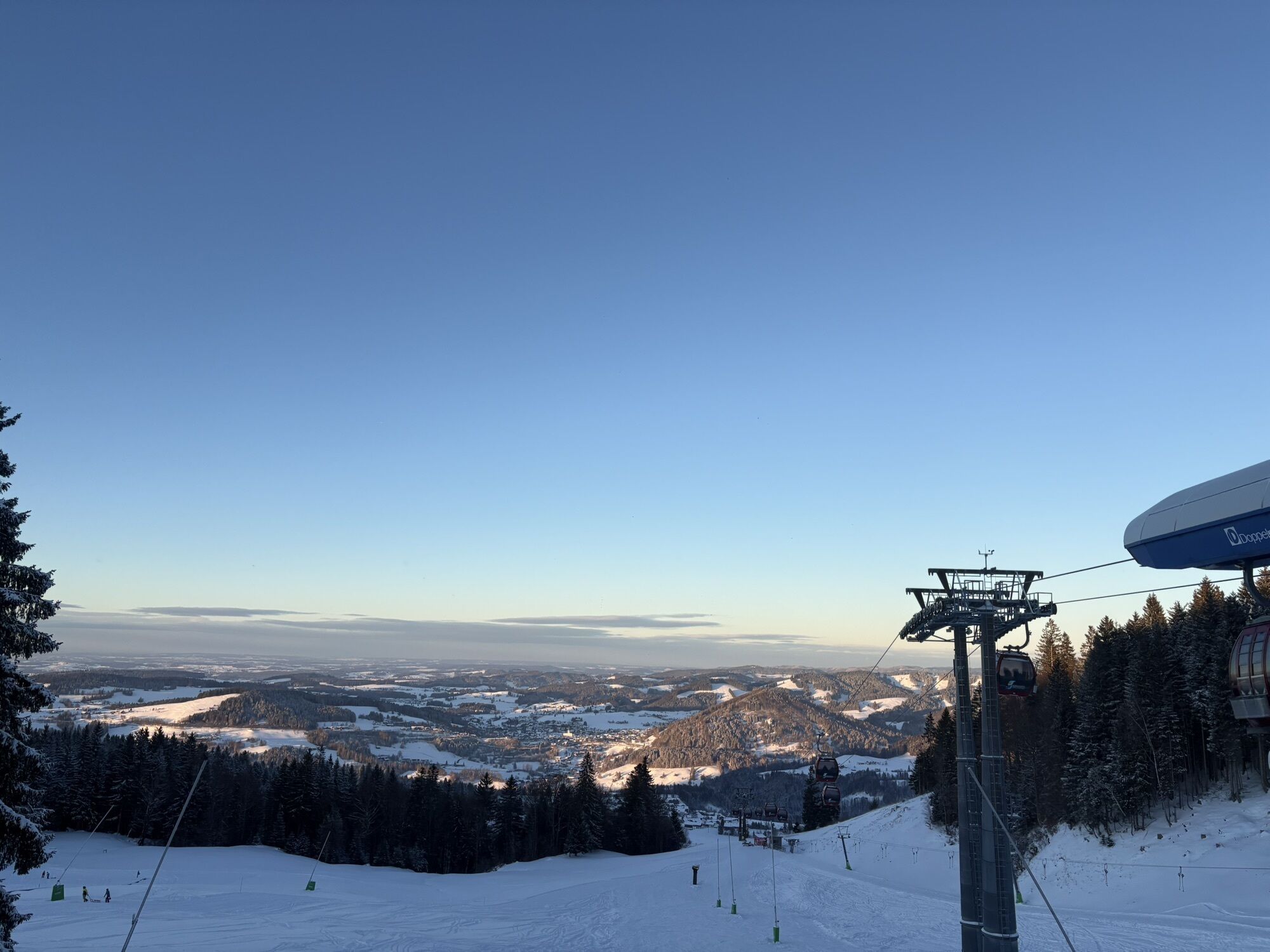
From the Imberg cable car mountain station, head south down to Lanzenbach and on the opposite side climb again over the Mittelstieg-Alpe to Oberstiegalpe. Staying at this altitude, you cross the slope...
From the Imberg cable car mountain station, head south down to Lanzenbach and on the opposite side climb again over the Mittelstieg-Alpe to Oberstiegalpe. Staying at this altitude, you cross the slope to the Hörmoos area with the lake circuit. Shortly after, you cross the border into Austria.
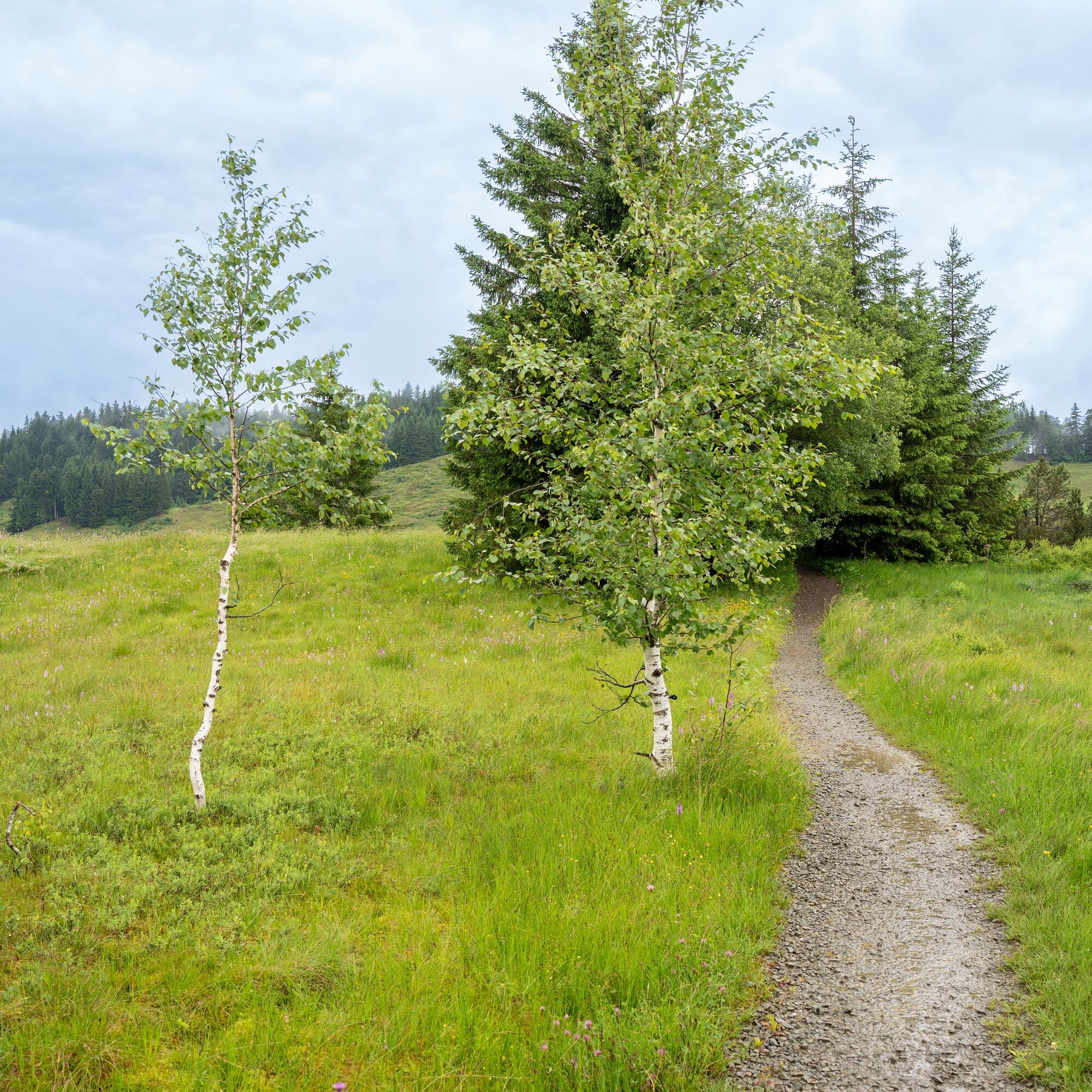
At the Hoch Häderich valley station begins the path through the Häderichmoor to Moosalpe, then follow the westward path to the Kojenstein viewpoint. Over the Steinerne Tor along the ridge further towards Fluh and back to the starting point at the Imberg cable car mountain station.
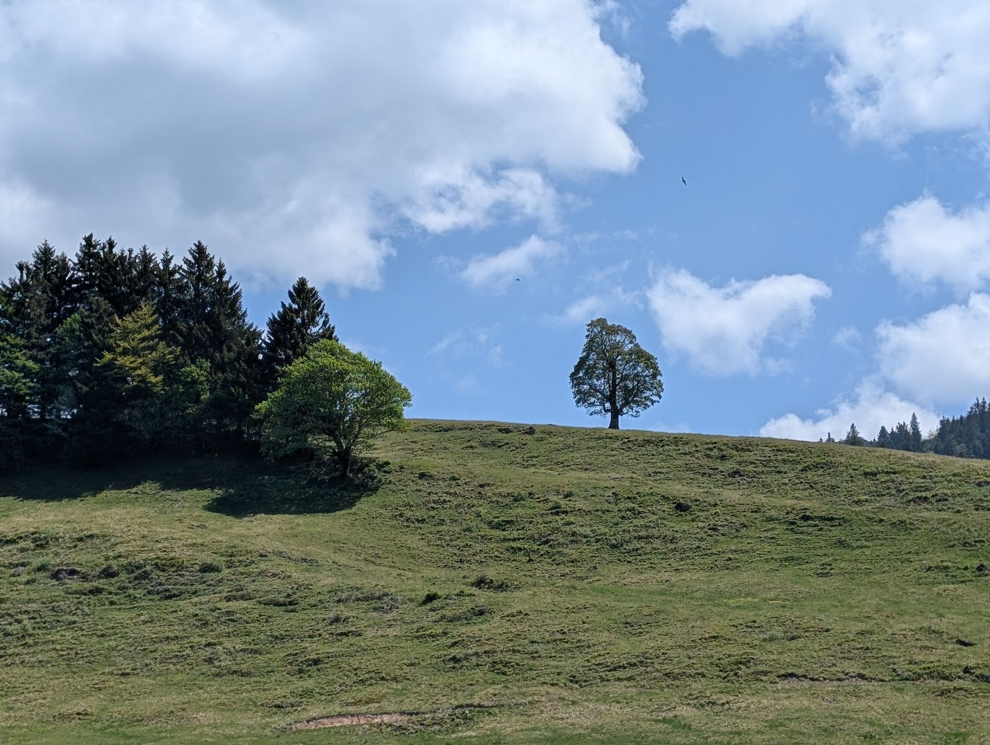
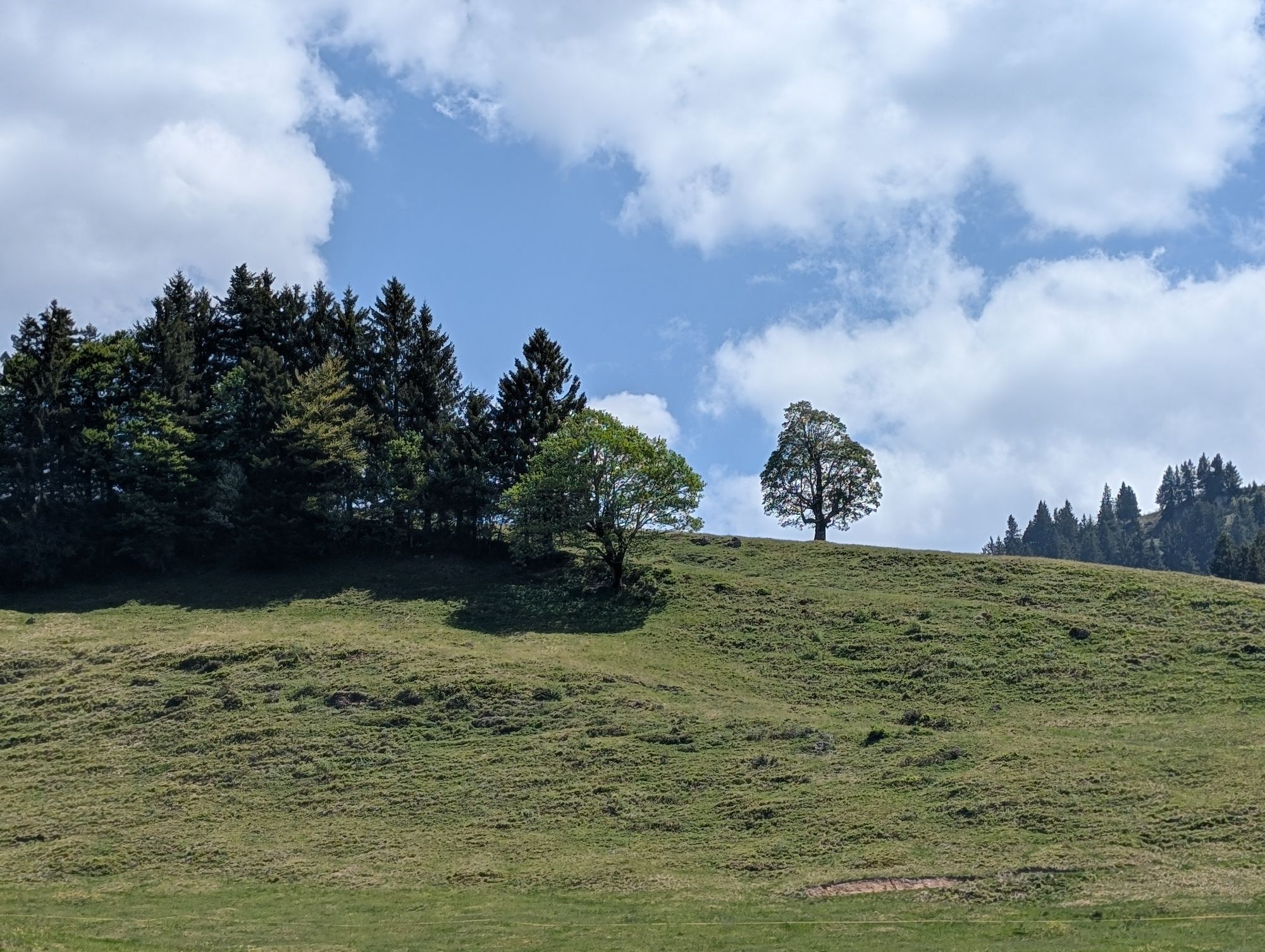
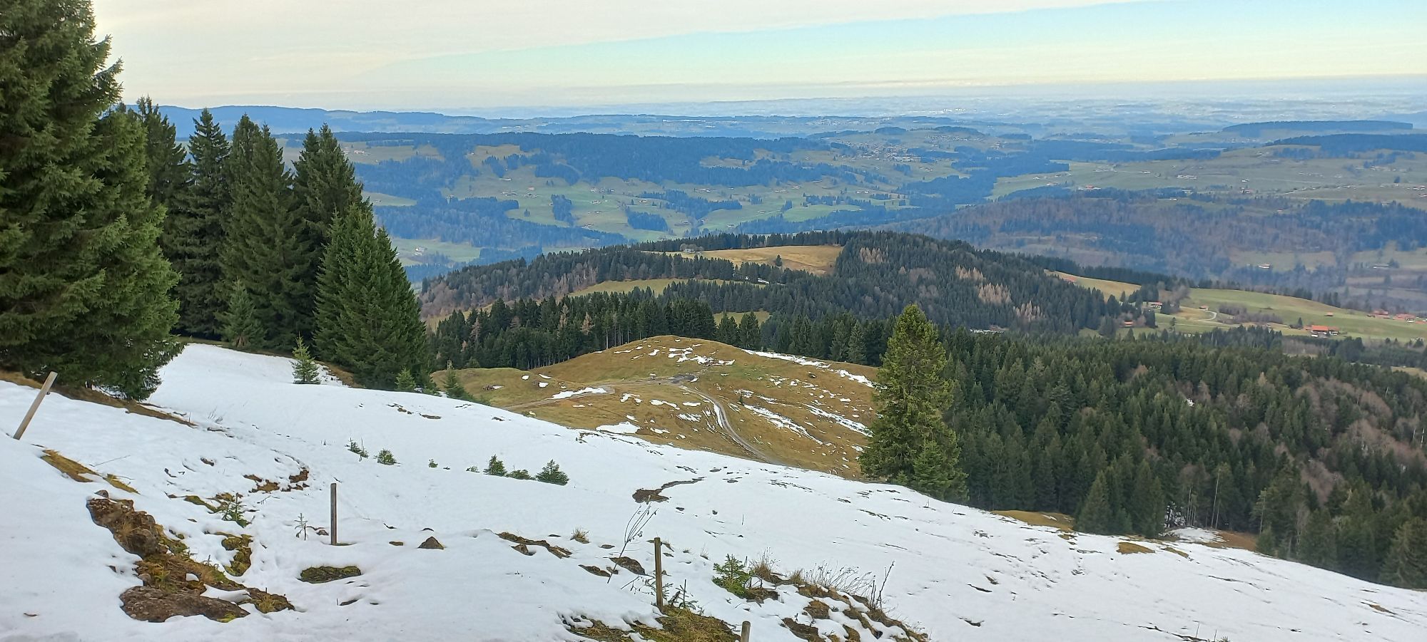
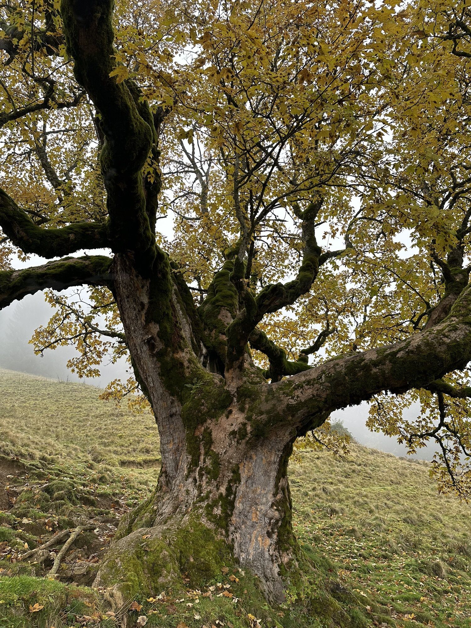
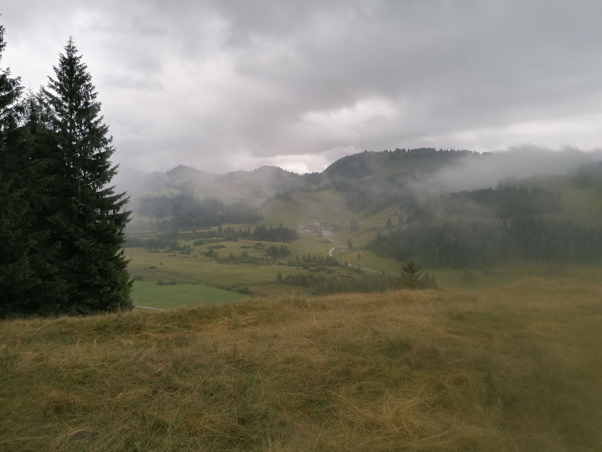
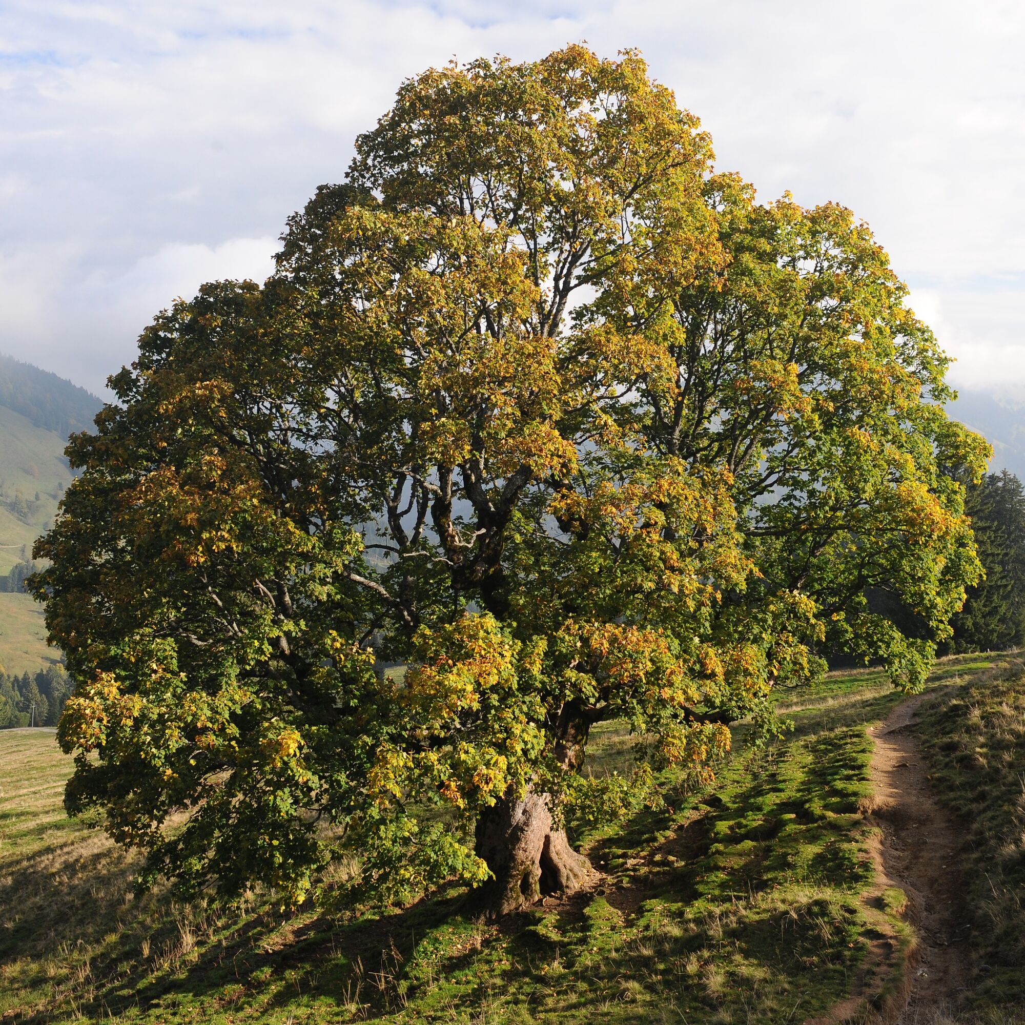
Shortly after Oberstiegalpe, the path leads into a true mountain maple garden. There stand many of these bizarrely shaped characteristic trees – including the impressive so-called "Hollow Tree". The Häderichmoor on the further path is one of the best-preserved high moors at this altitude. From the Kojenstein viewpoint, the view stretches in all directions far beyond Lake Constance. There is no lack of places to stop for refreshments.
Important information for hikers with dogs:
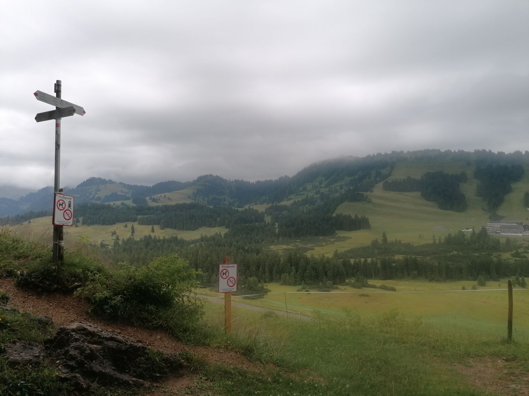
Along this recommended route, carrying dogs is not permitted by property owners on the following private paths and guesthouses in the Kojenmoos area: around the Alpe Moos, including the direct connecting paths to Alpe Glutschwanden, Alpe Kojen, the Steinerne Tor, and Almhotel Hoch Häderich. Dog owners are advised to use alternative routes or guesthouses.

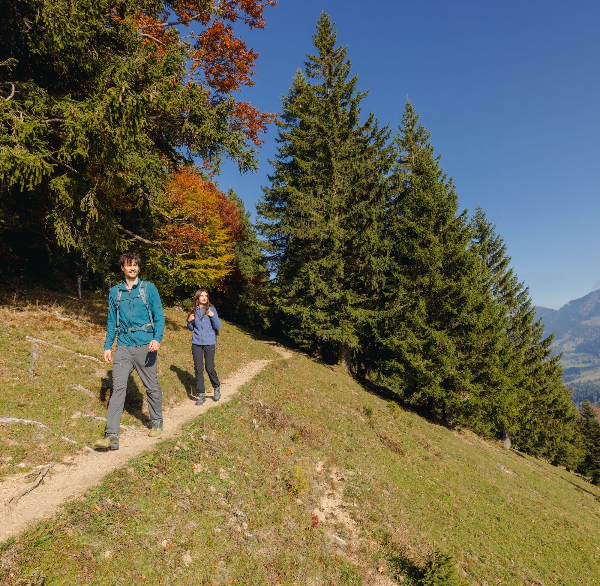
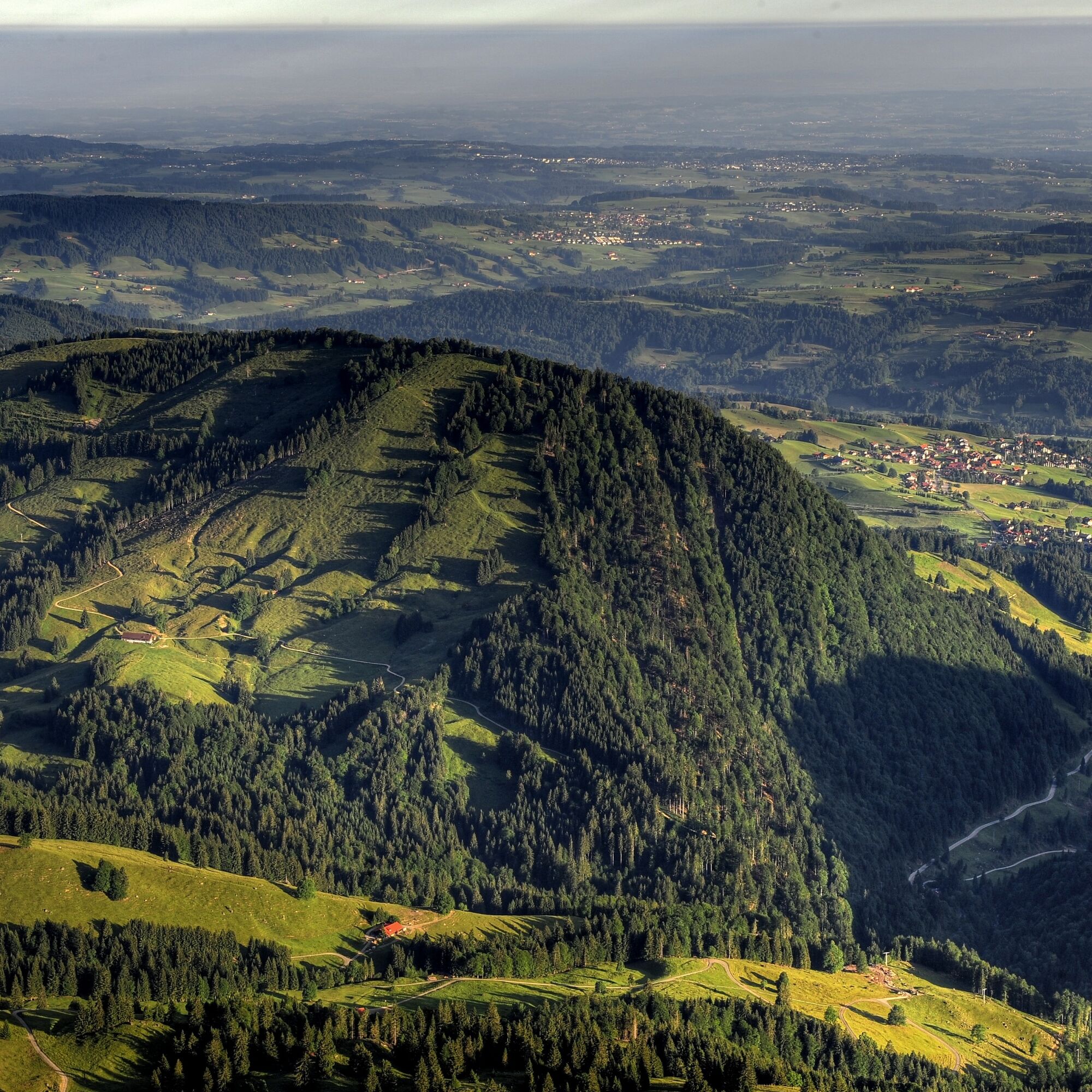

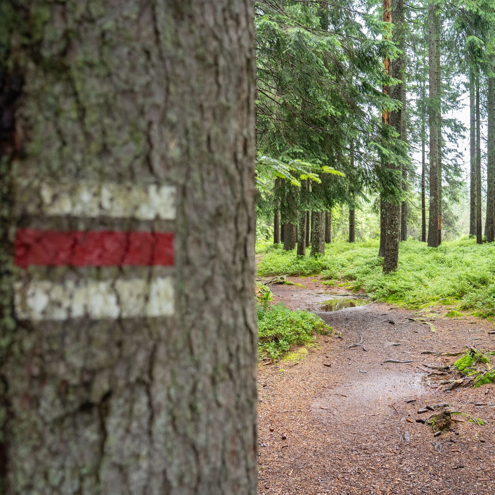
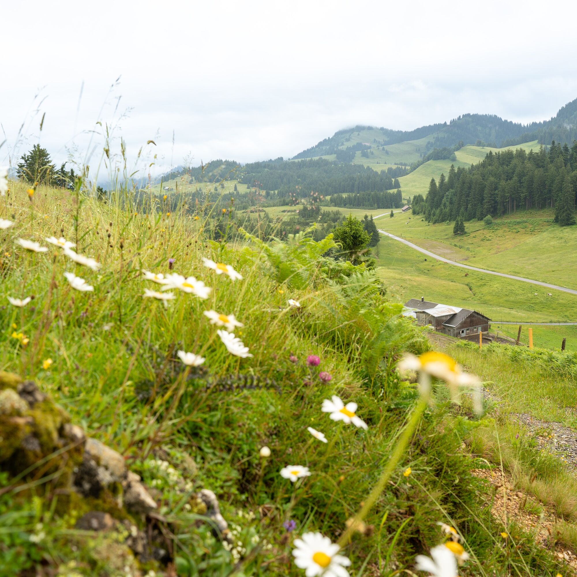
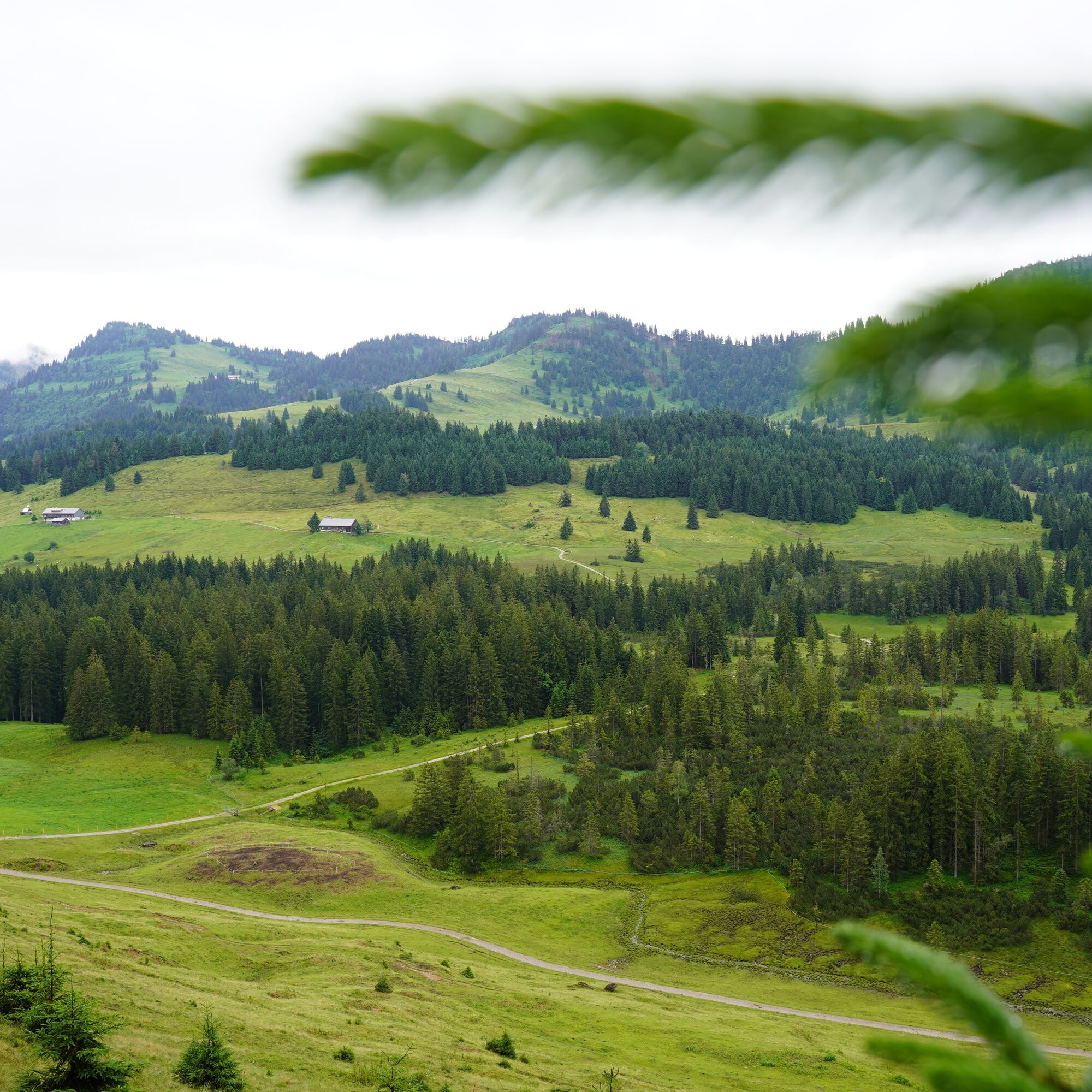
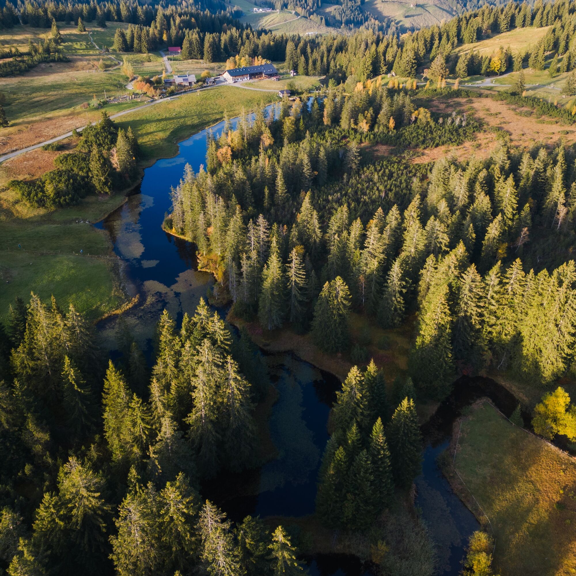

The path leads from the Imberg cable car mountain station first over the Remmelegg alp down to the Lanzenbach bridge. After crossing it, the route goes uphill on a beautiful forest path, continuing over the Mittelstiegalp to the Oberstiegalp. Without significant altitude differences, you cross the slope and follow it westward over the Schneelochalp until shortly before the Hörmoos mountain inn and the herb alp with distillery. From there, continue to the left around the lake and follow the signs to the Almhotel Hoch Häderich. From there, head towards Moosalpe, branching left before on the path up to the viewpoint at Kojenstein. Over the Steinerne Tor steadily near the ridge with a beautiful view eastward to the Fluh. There follows the descent back to the Imberg cable car mountain station.
Ano
Sturdy hiking boots and weather-appropriate hiking clothing.
Important information for hikers with dogs:
Along this recommended route, carrying dogs is not permitted by property owners on the following private paths and guesthouses in the Kojenmoos area: around the Alpe Moos, including the direct connecting paths to Alpe Glutschwanden, Alpe Kojen, the Steinerne Tor, and Almhotel Hoch Häderich. Dog owners are advised to use alternative routes or guesthouses.
From Oberstaufen, 4 km to Steibis to the Imberg cable car valley station
Take the train to Oberstaufen, then continue by bus (line 95) to the Imberg cable car valley station.
Traveling by bus and train in and around Oberstaufen?
Information, bus schedules, and a map available at oberstaufen.de/bus-parken
Free parking at the Imberg cable car valley station
Please note: on nice excursion days, the parking lot fills up quickly in the morning.
Important information for hikers with dogs:
Along this recommended route, carrying dogs is not permitted by property owners on the following private paths and guesthouses in the Kojenmoos area: around the Alpe Moos, including the direct connecting paths to Alpe Glutschwanden, Alpe Kojen, the Steinerne Tor, and Almhotel Hoch Häderich. Dog owners are advised to use alternative routes or guesthouses.
Dog owners are advised to use alternative routes or guesthouses.
Generally, there is a leash requirement in the Kojenmoos nature reserve. Also, the alpine livestock and nature thank you for disposing of dog waste in the designated dog waste bins. We thank you for your understanding and consideration.
More information on nature-friendly behavior with your four-legged friend at oberstaufen.de/hund or freiraum-lebensraum.info/guidelines/hunde
Detour to Michel’s herb alp at Hörmoos Lake. At 1,300 m elevation, the highest distillery in the Allgäu.


Webové kamery z prohlídky
Získejte přehled
Vždy živě na místě s více než 9 500 webkamerami. bergfex Jako uživatel Pro si nyní můžete zobrazit odpovídající webové kamery pro mnoho prohlídek v aplikaci prohlídky z. Můžete si tak přímo prohlédnout aktuální podmínky.
Oblíbené prohlídky v okolí
-
4.7
Winterstaude
středníTuristika 9.30 km -
4.5
Steibis - Buchenegger Waterfalls
středníTuristika 6.47 km -
4.6
Hittisau | Wasserwanderweg
světloTematická stezka 7 km -
4.8
Panoramarundweg Baumgarten - Niedere
světloTuristika 3.76 km -
4.7
Rindalphorn und Hochgrat
středníTuristika 15.6 km -
5.0
Nagelfluh ridge route Hochgrat - Mittag
heavyTuristika 14.0 km -
4.9
Immenstädter Horn
světloTuristika 9.35 km -
4.4
Immenstädter Horn - Gschwender Horn
světloTuristika 10 km -
3.5
Rundtour Mittag
světloTuristika 15.7 km -
4.5
Circular route Hündle to the Buchenegger Waterfalls
středníTuristika 9.69 km
Pěší turistika a stopování


Nenechte si ujít nabídky a inspiraci pro vaši příští dovolenou
Vaše e-mailová adresa byl přidán do poštovního seznamu.





