




Panorama circular route along the ridge up to Sedererstuiben
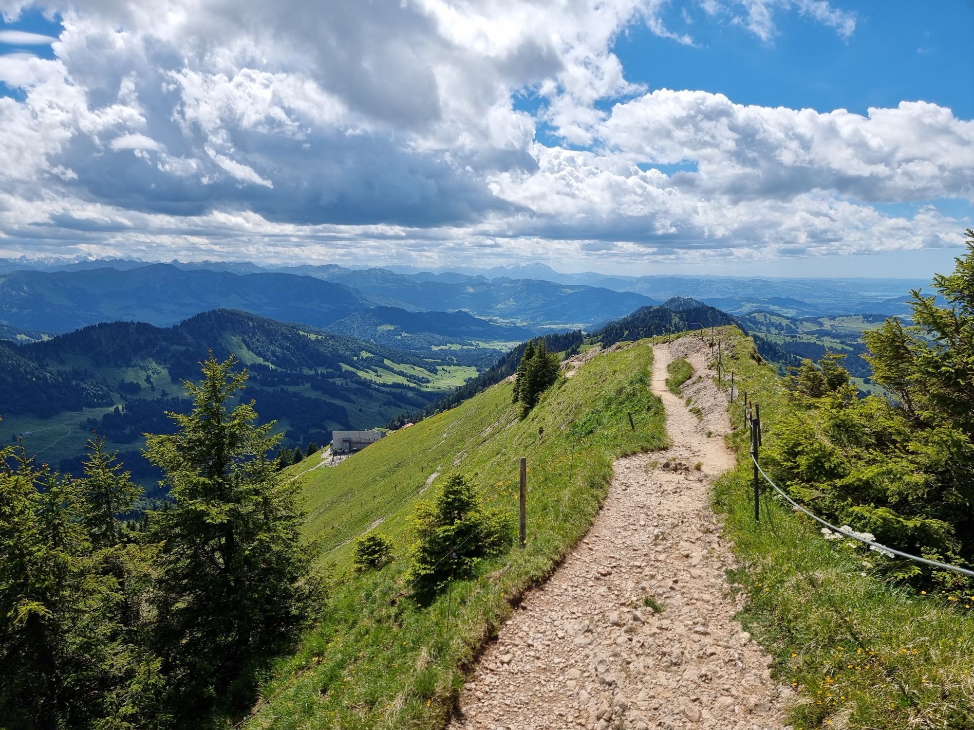
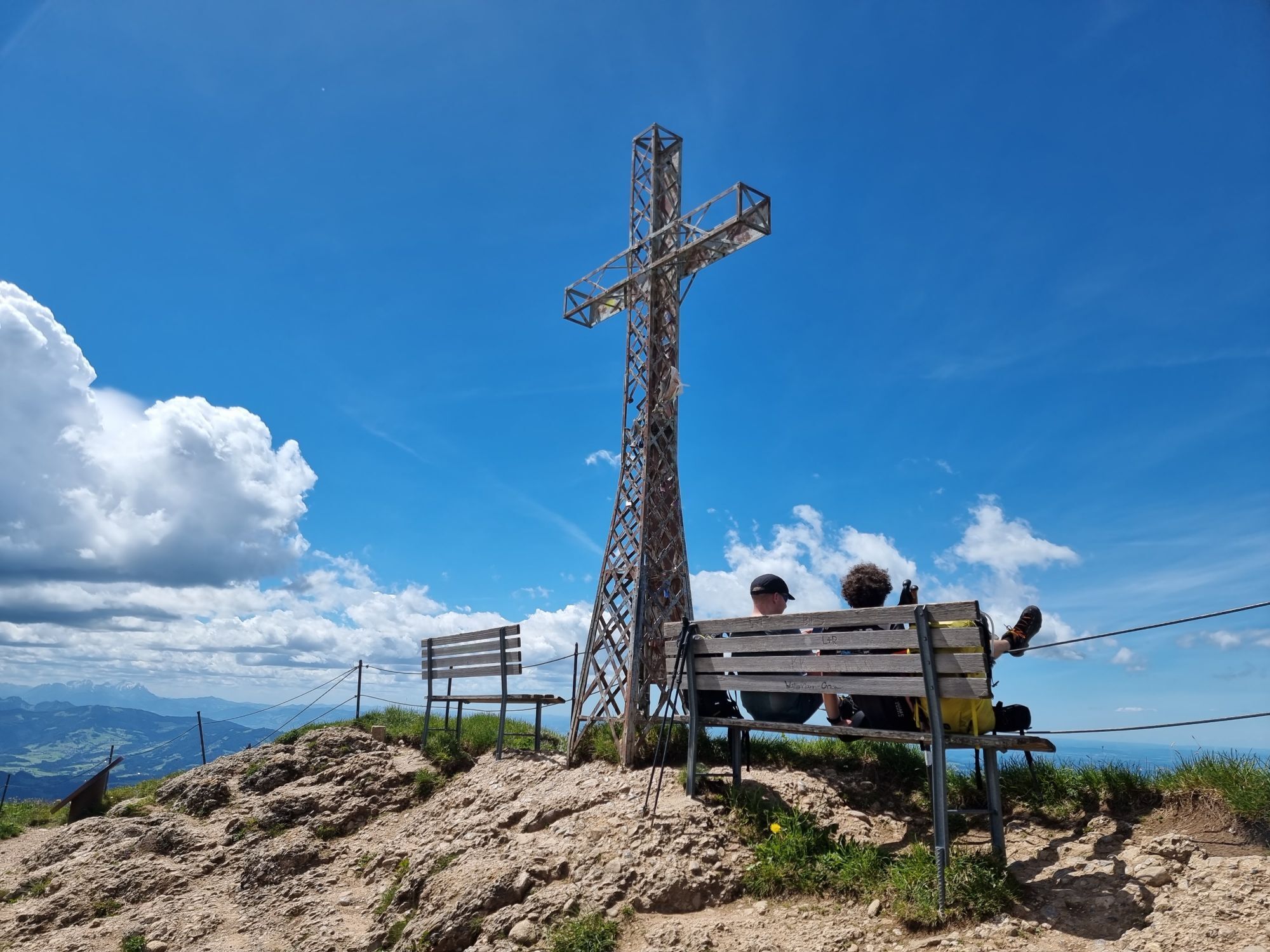
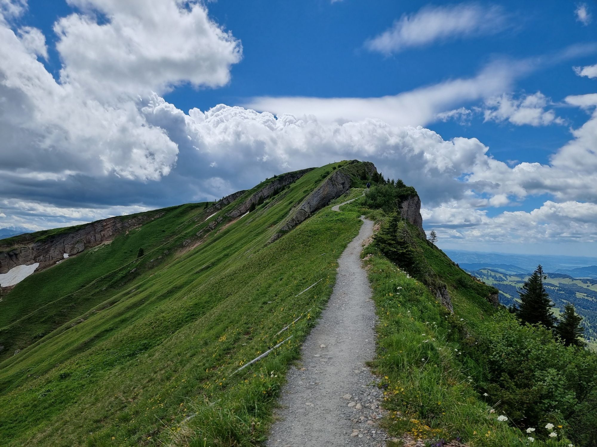
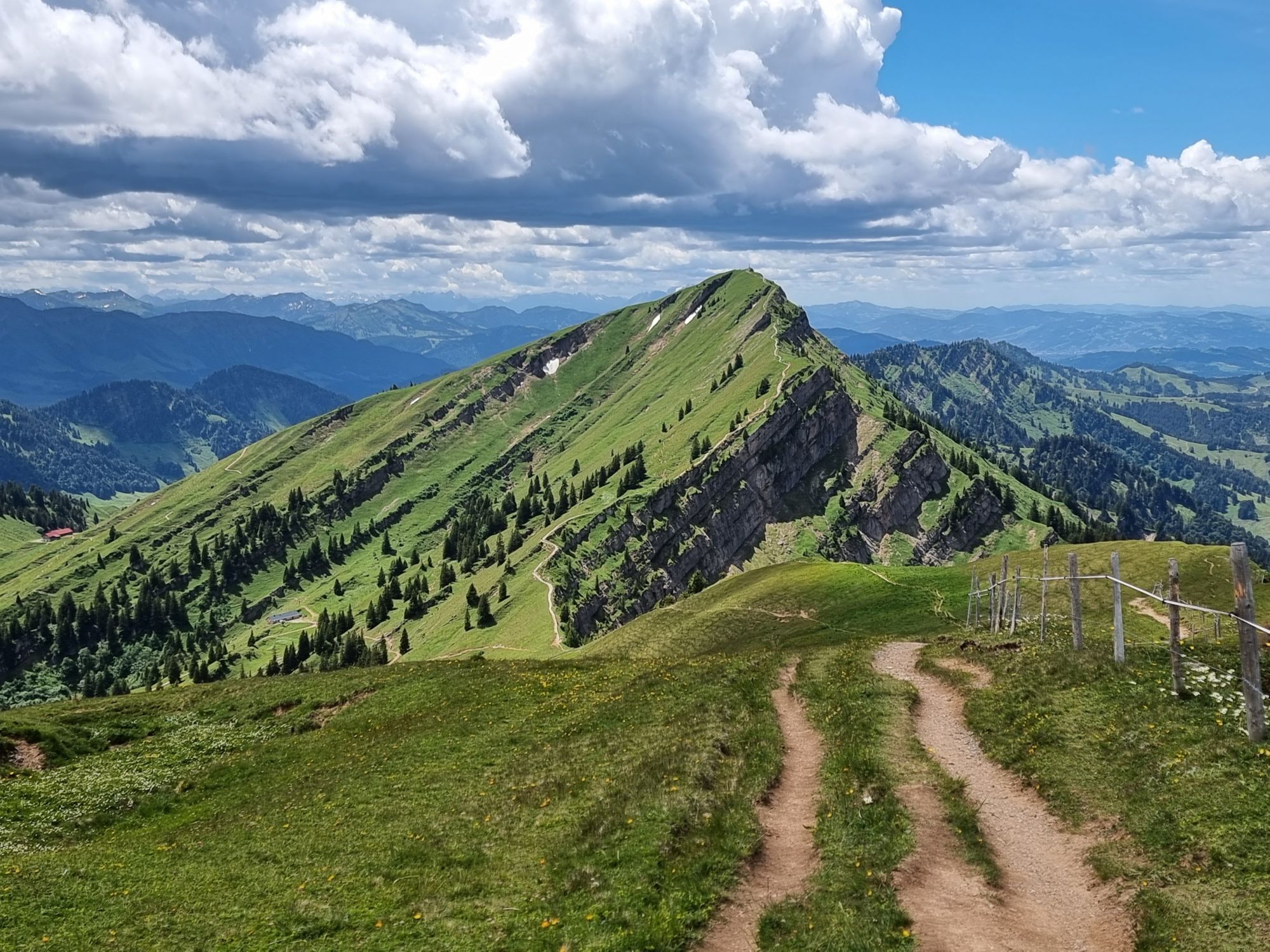
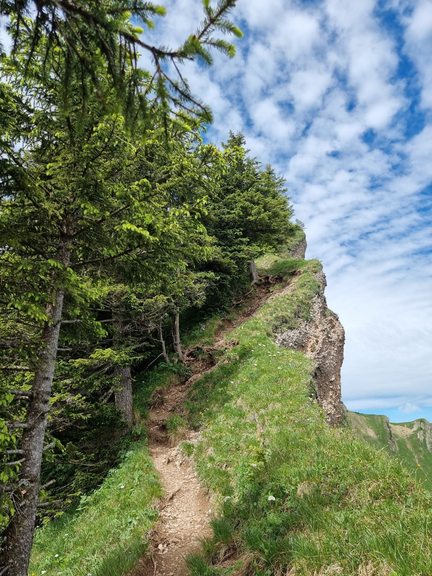
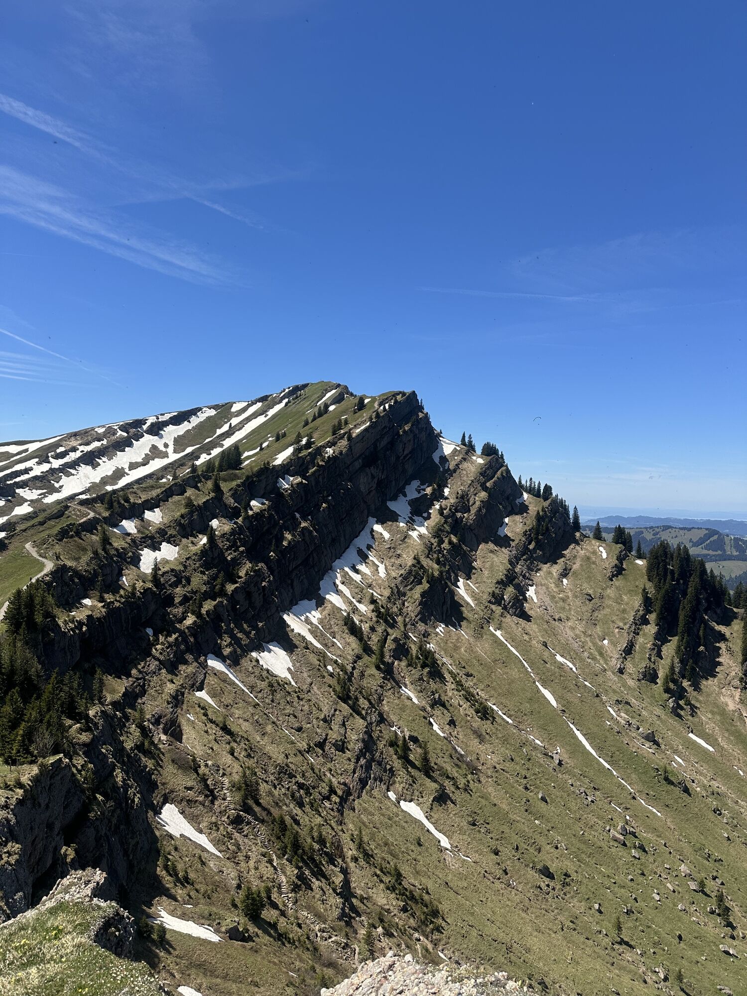
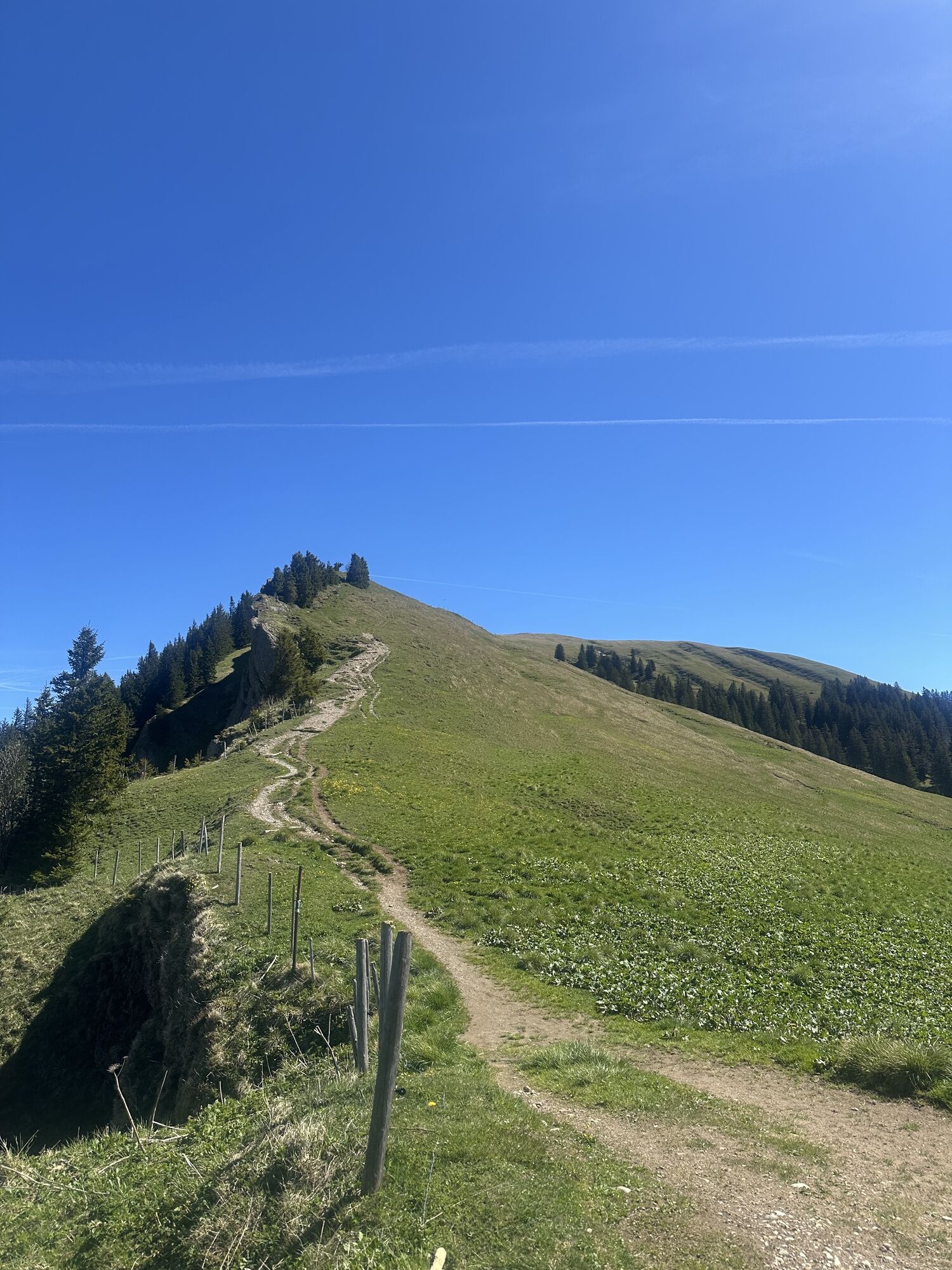
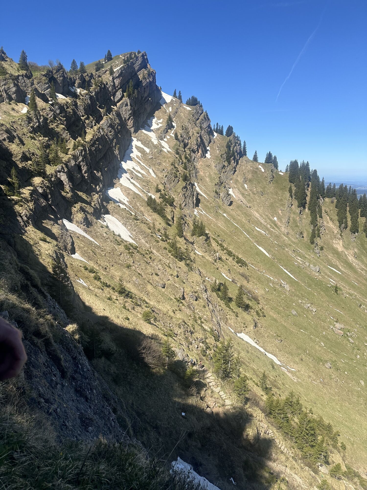
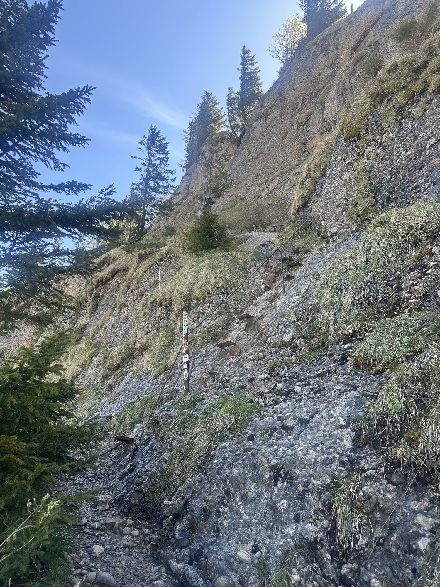
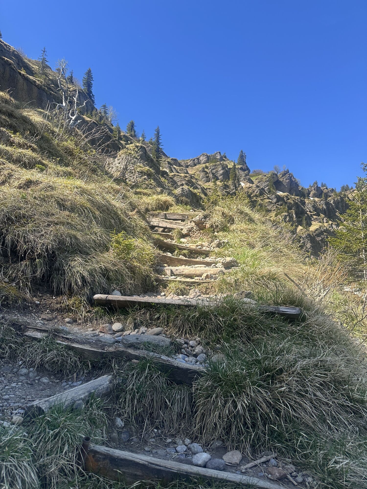
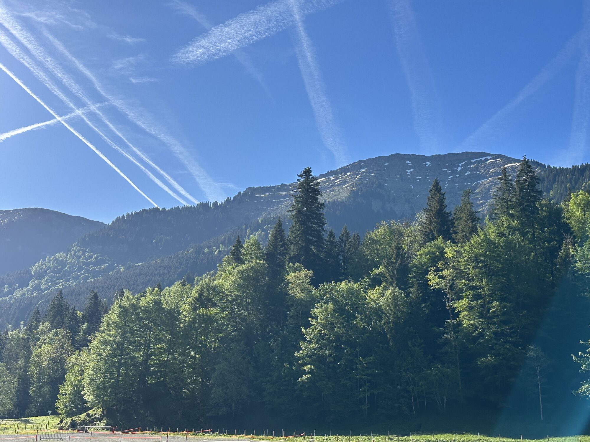
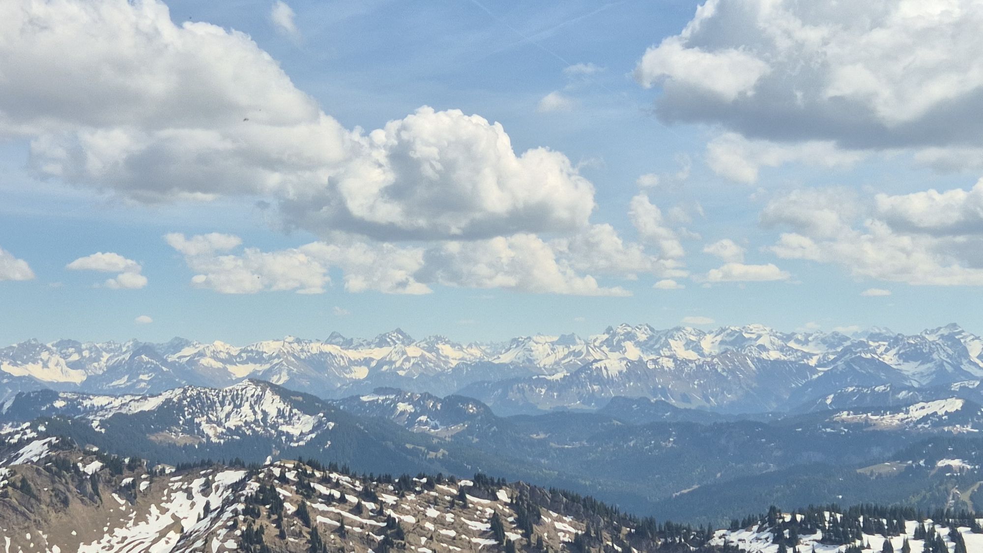
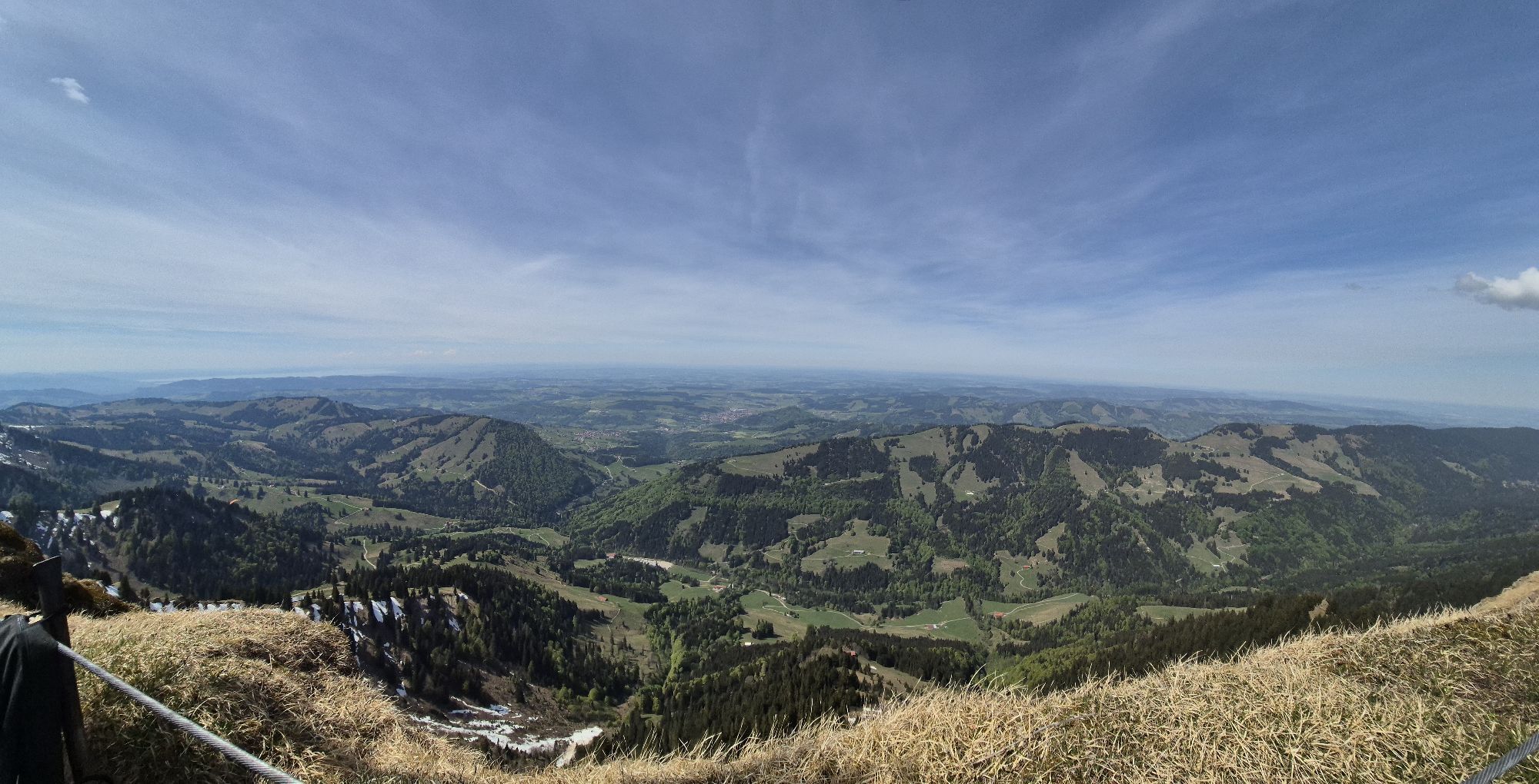
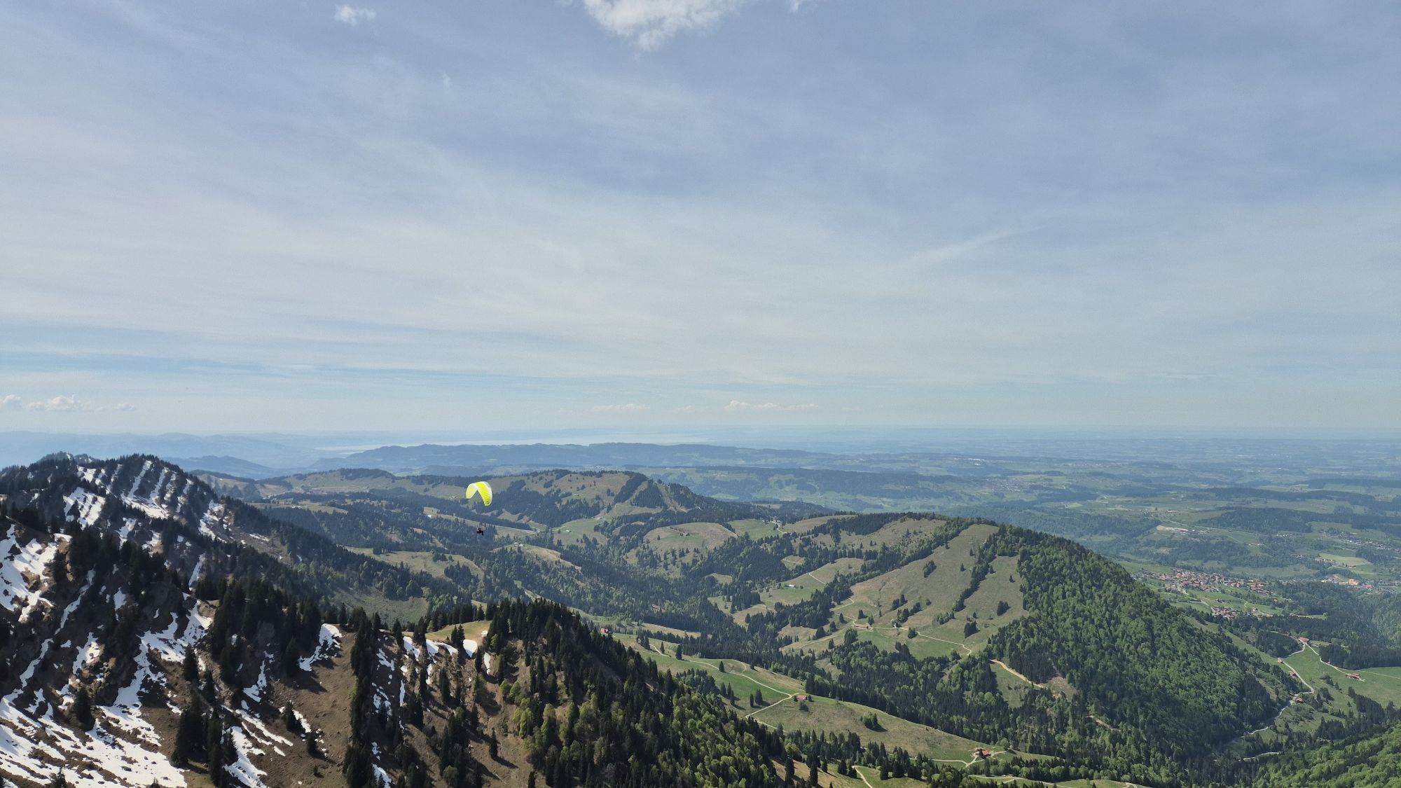
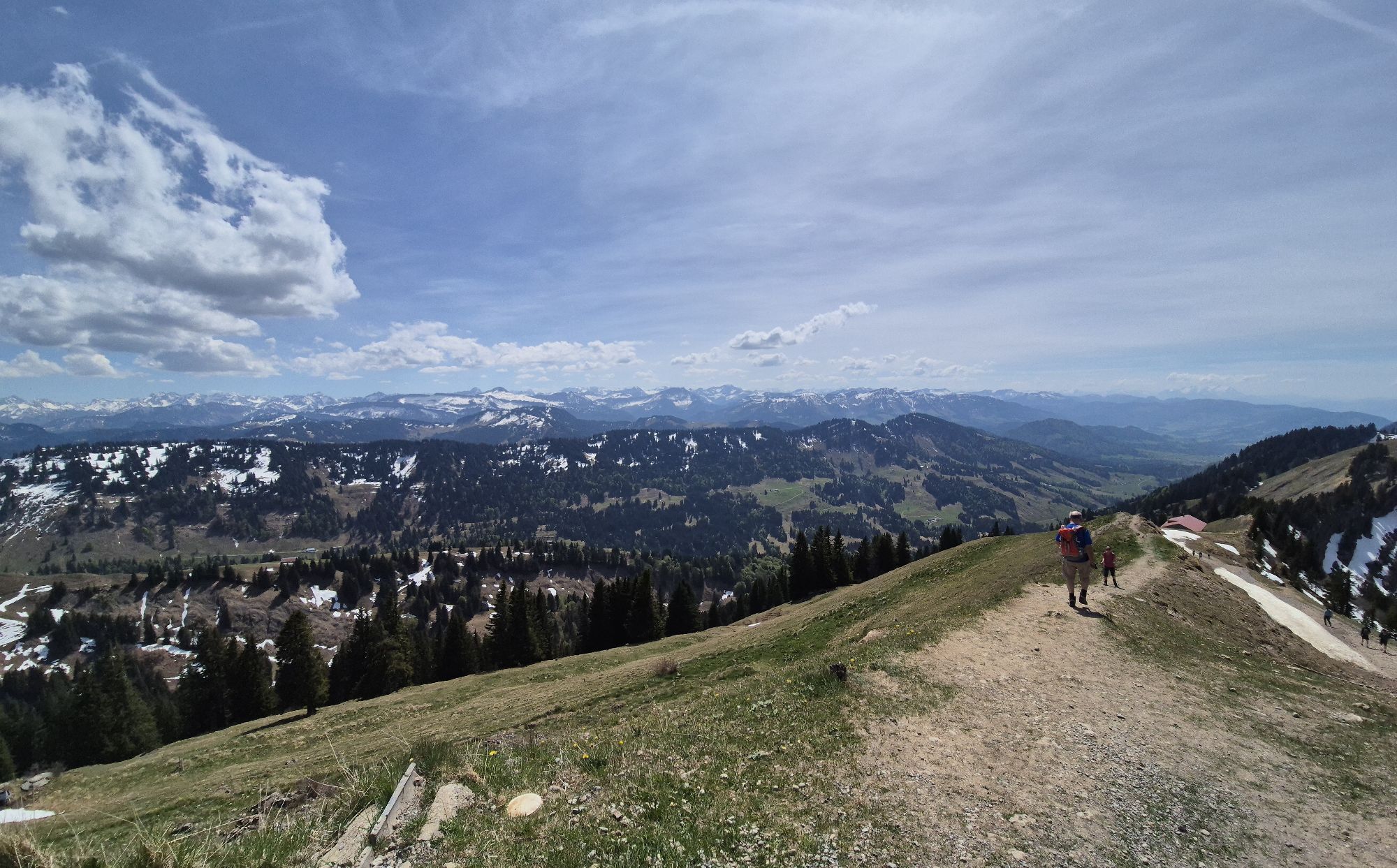
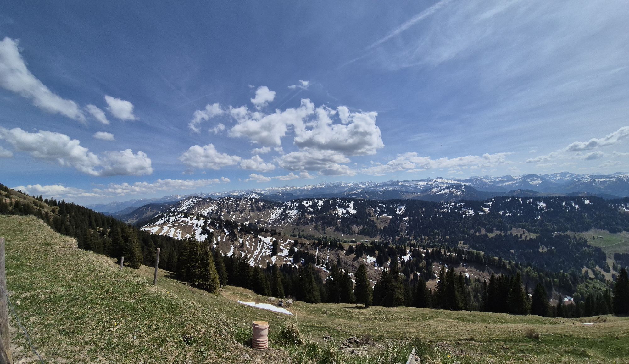
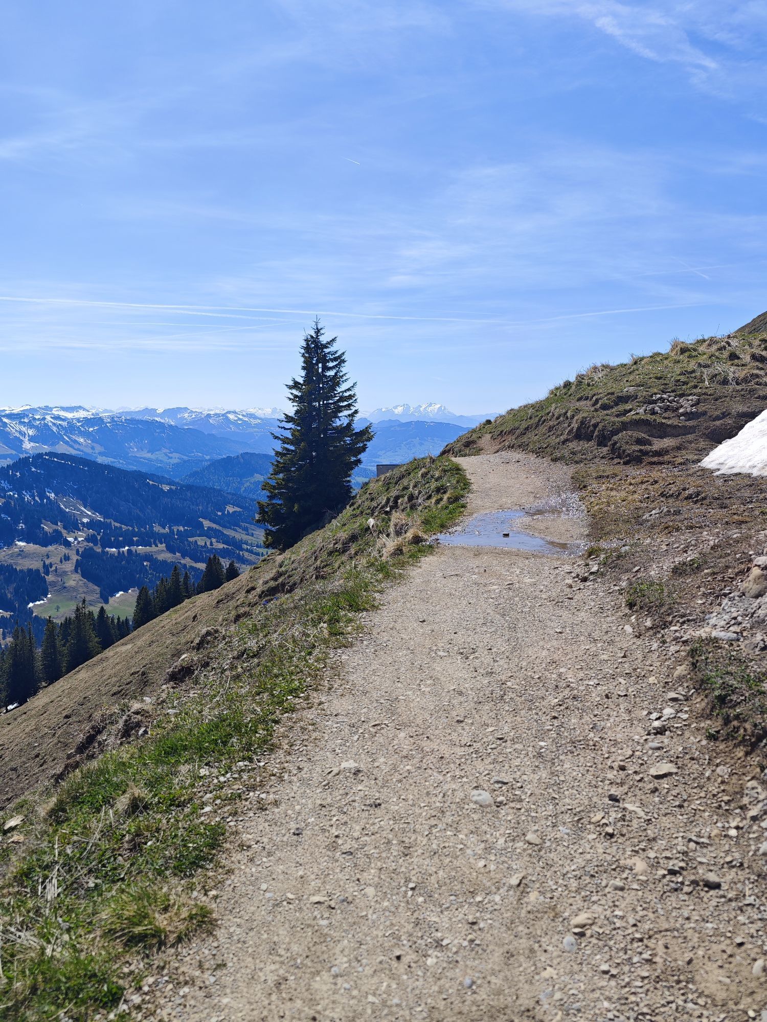
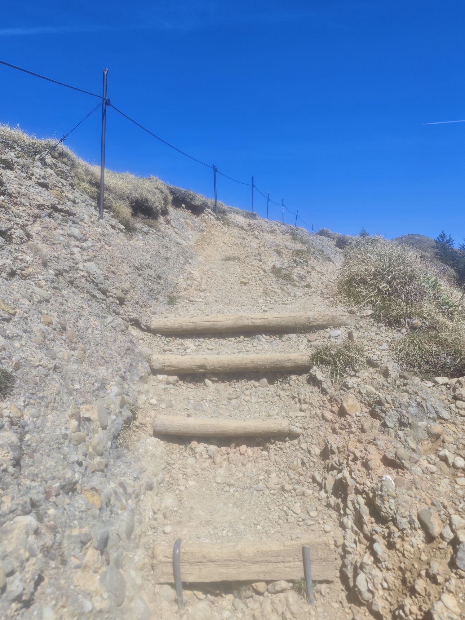
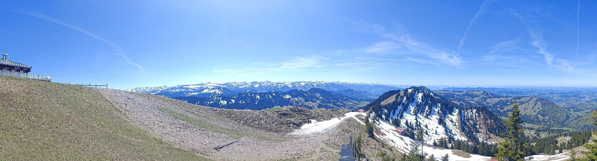
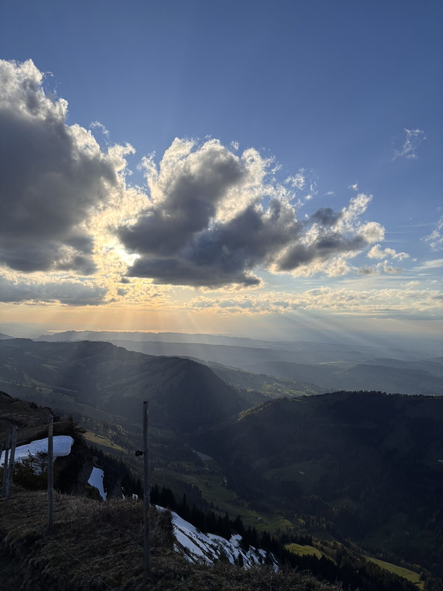
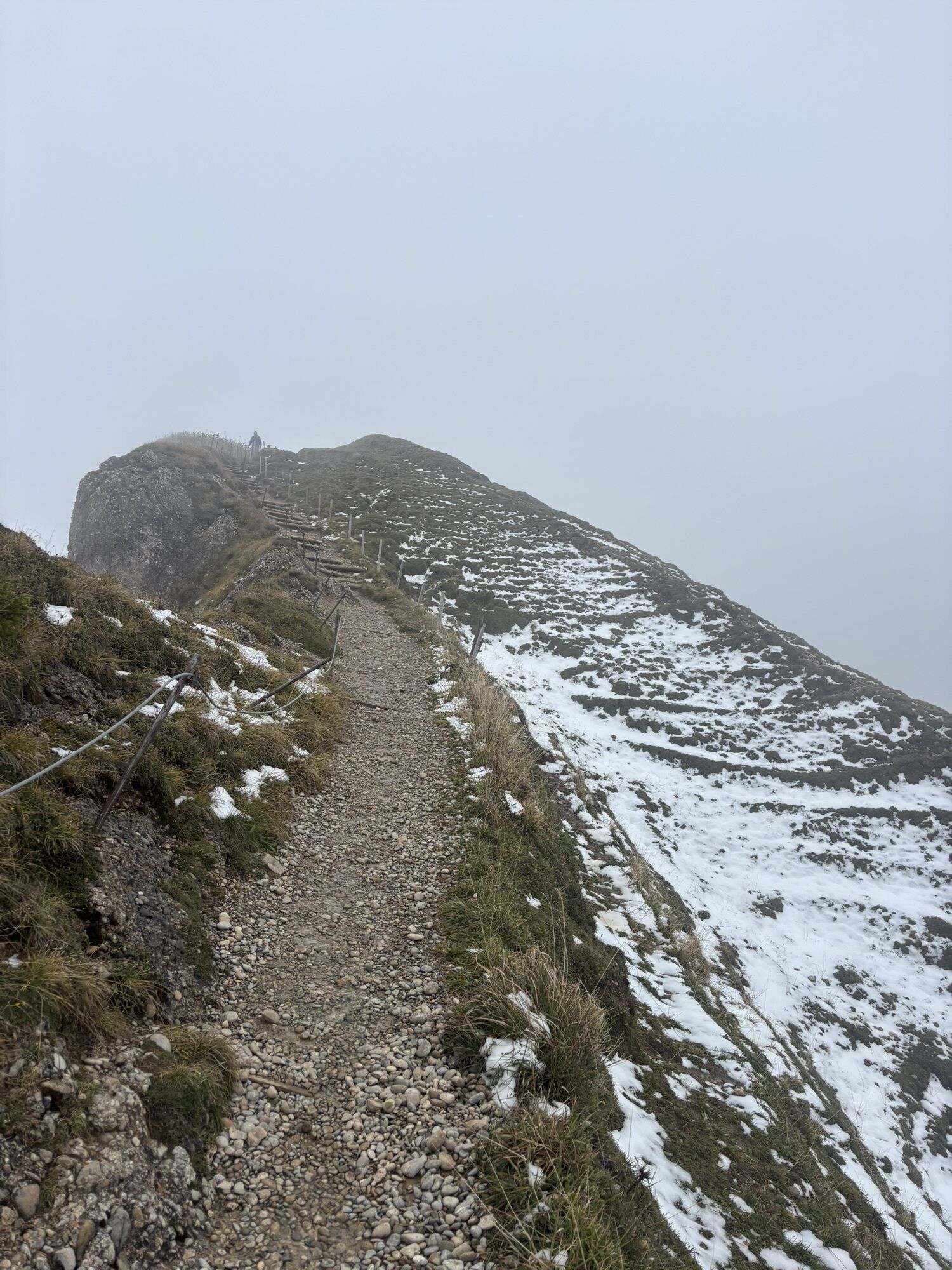
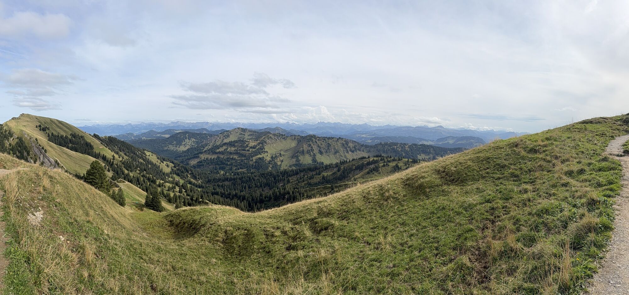
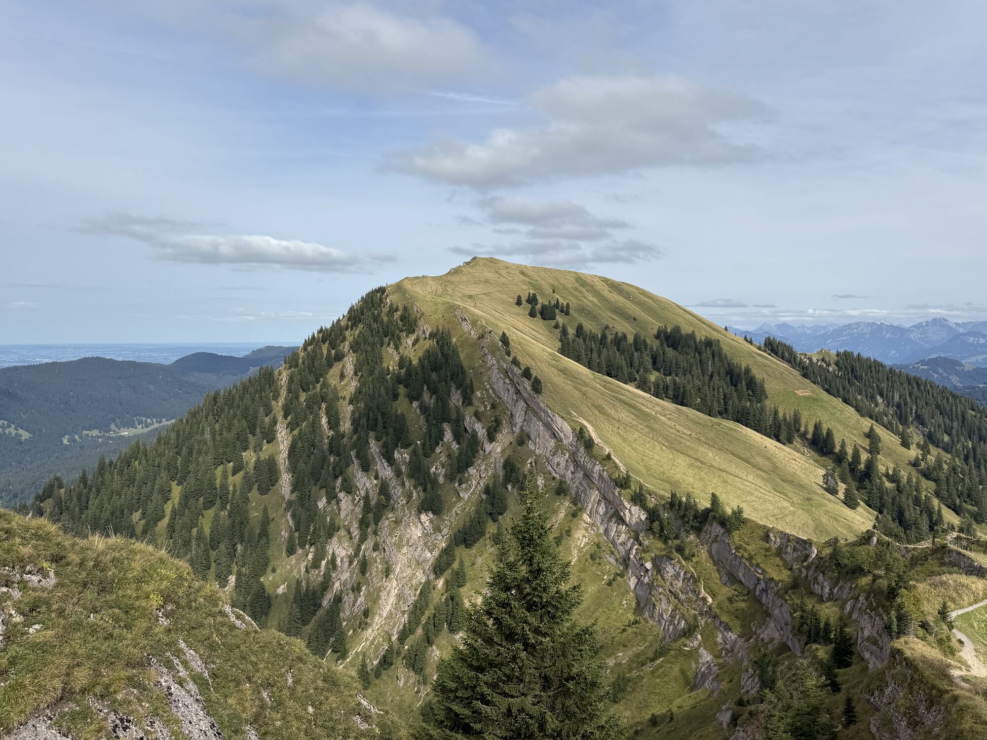
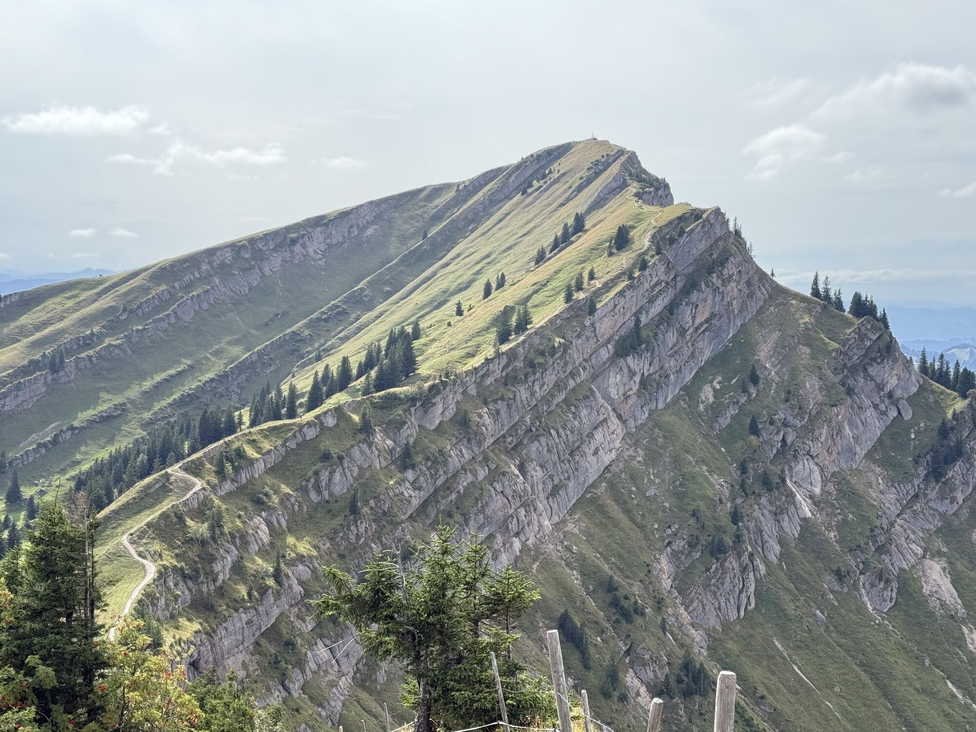
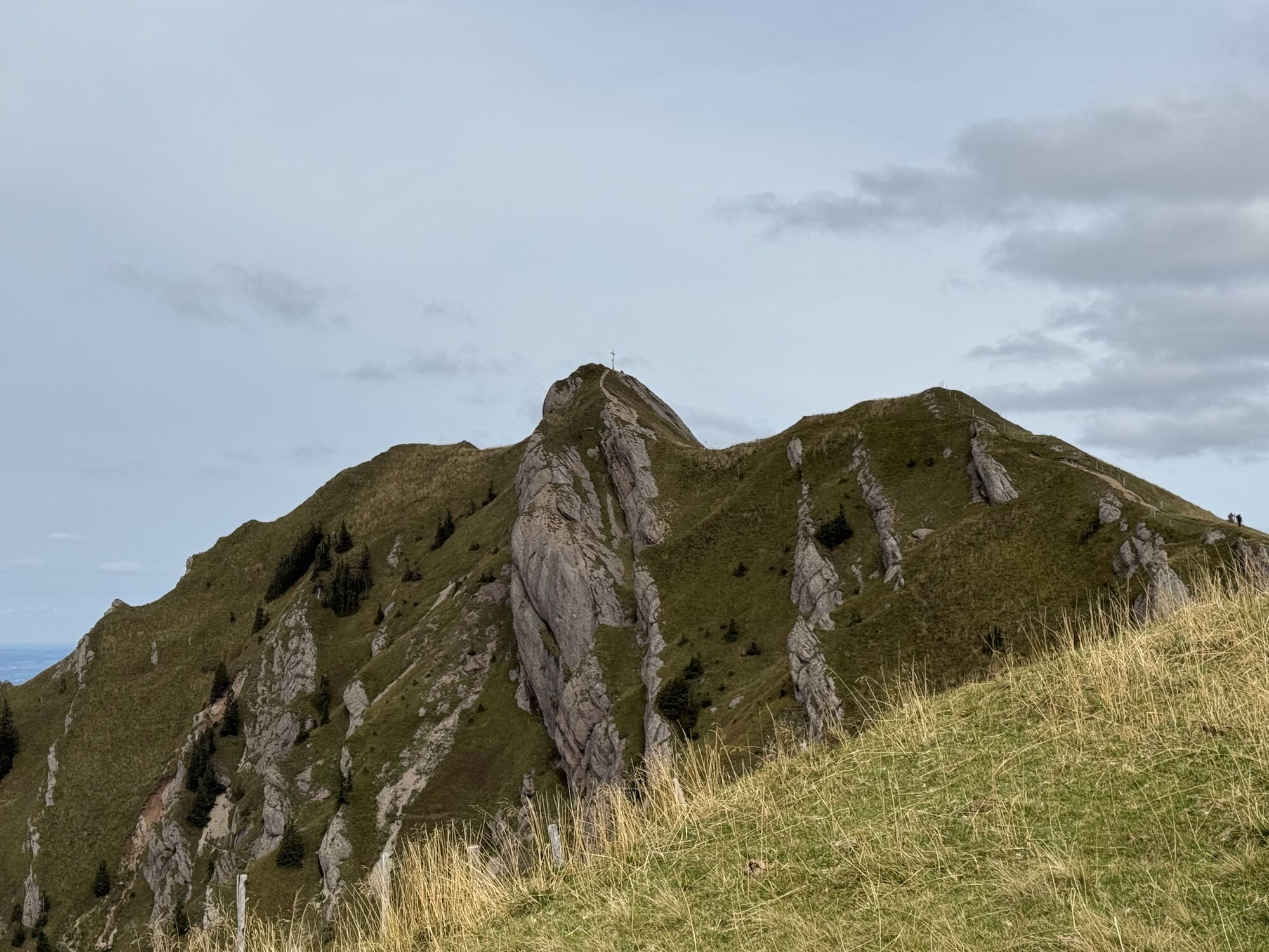
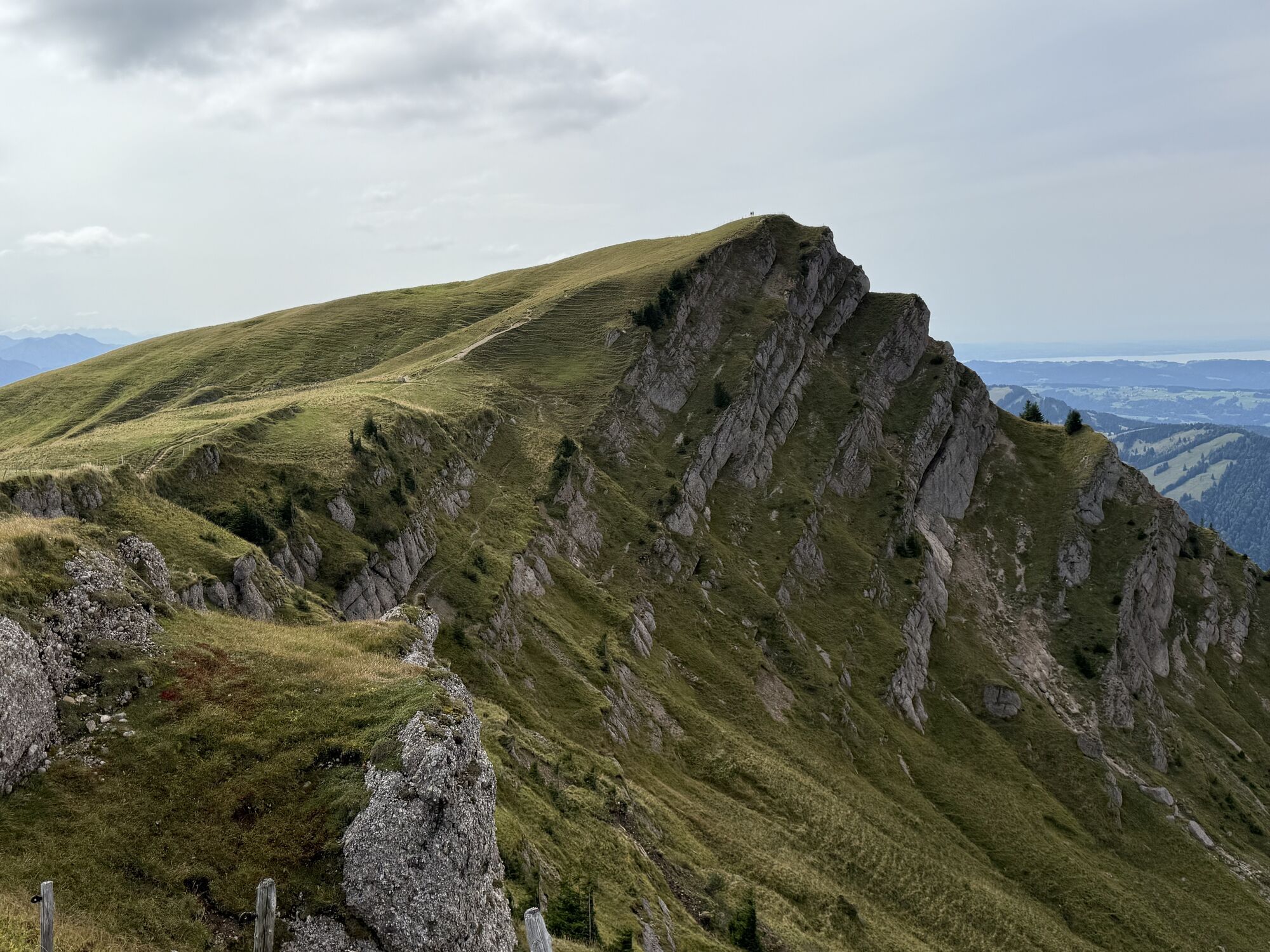
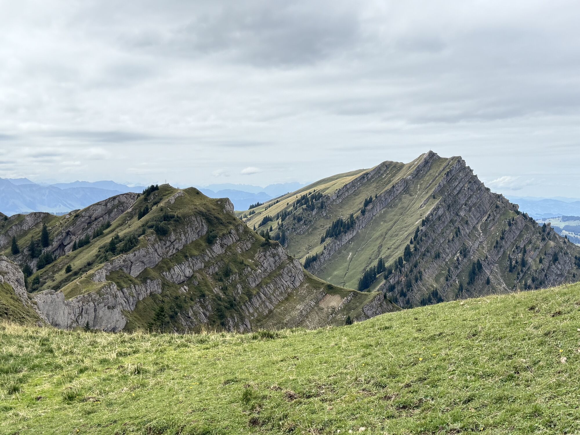
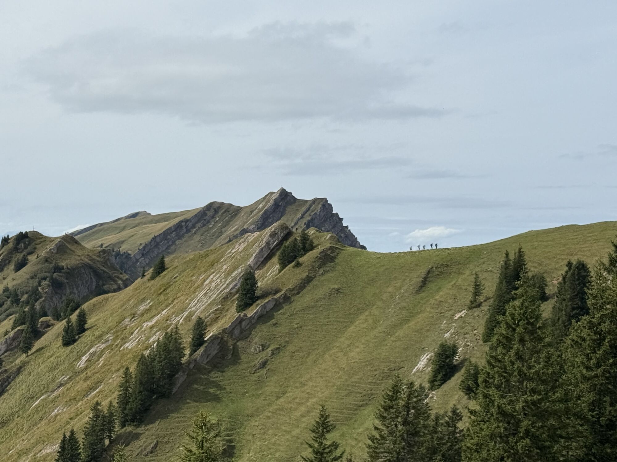
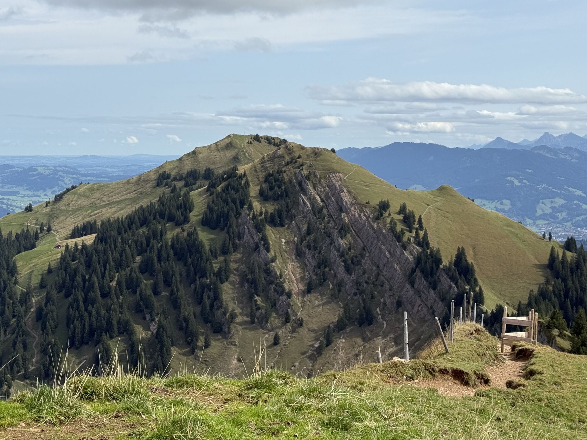
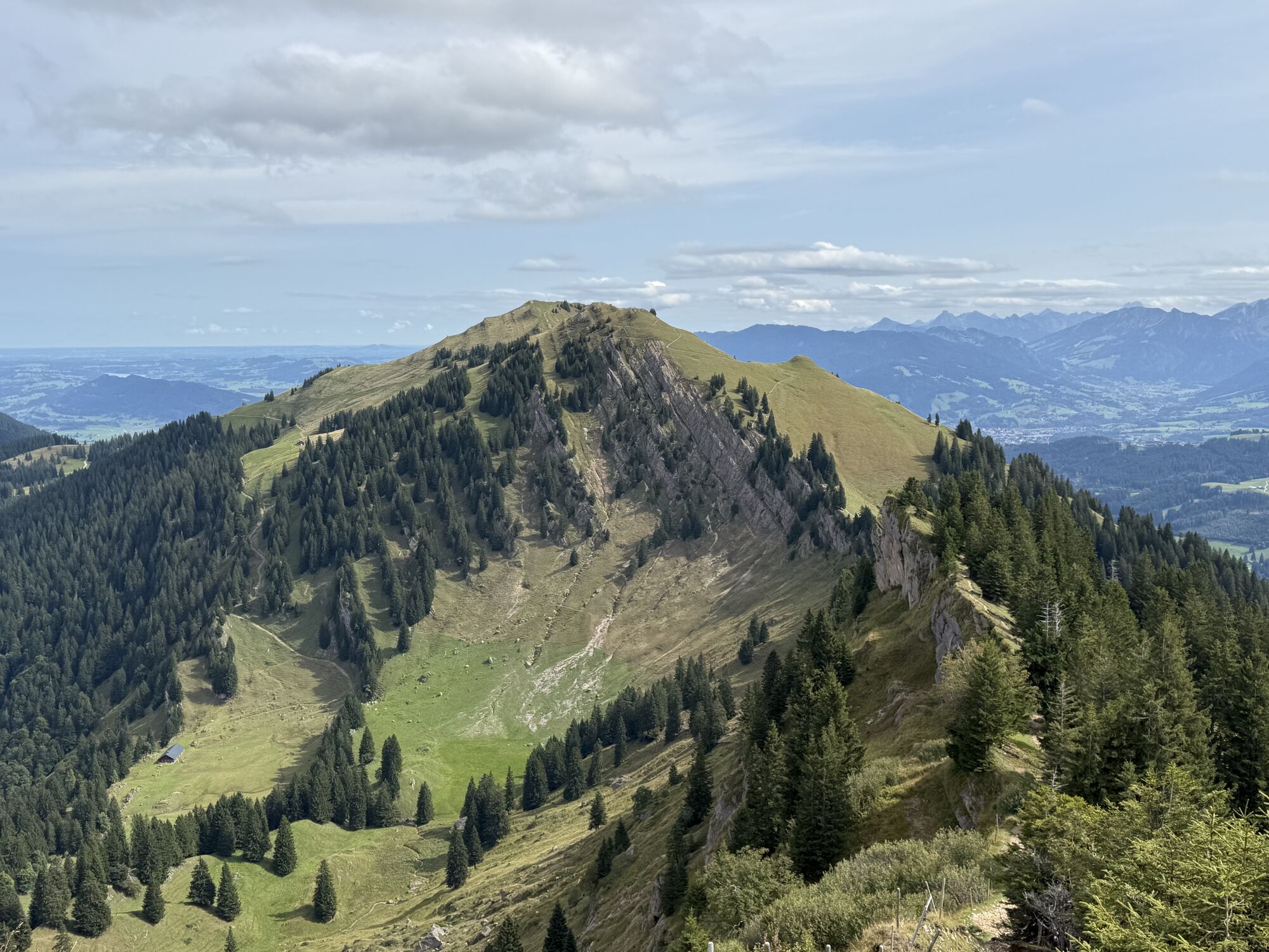
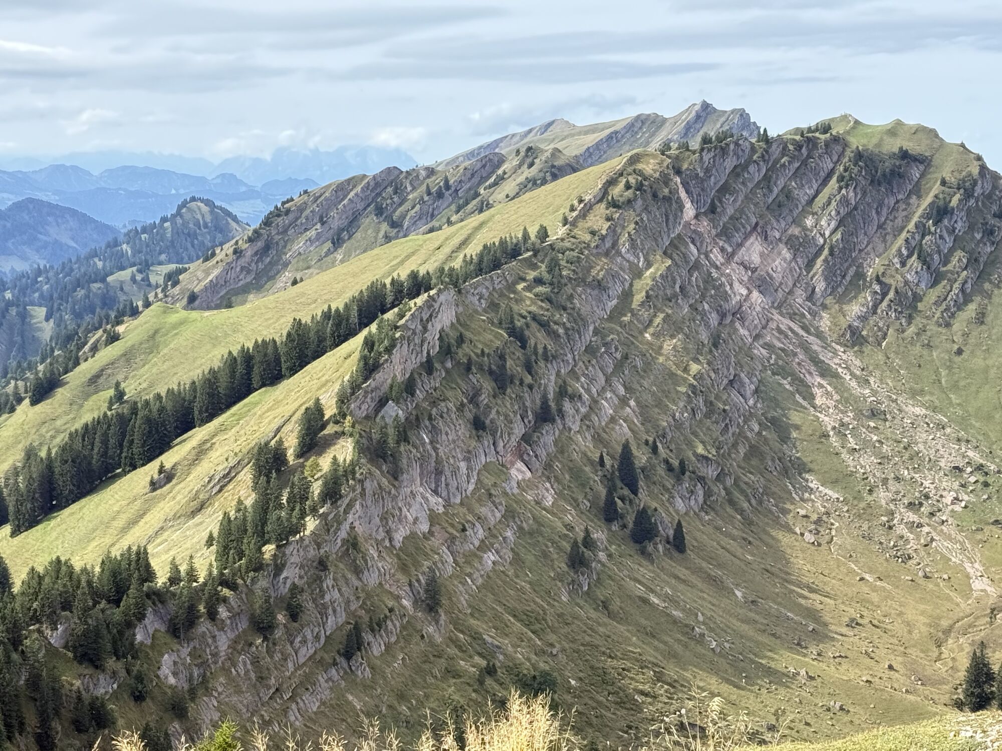
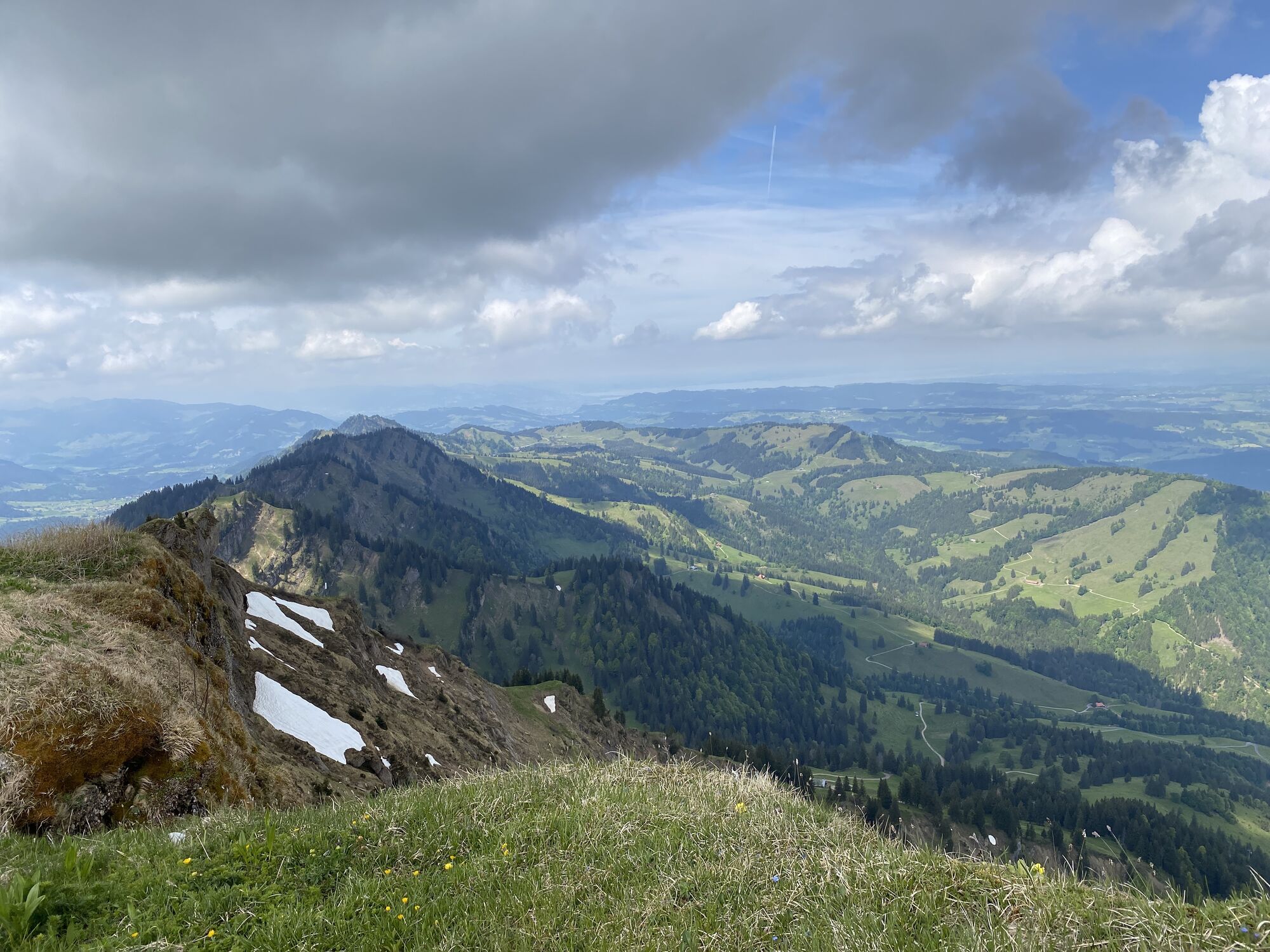
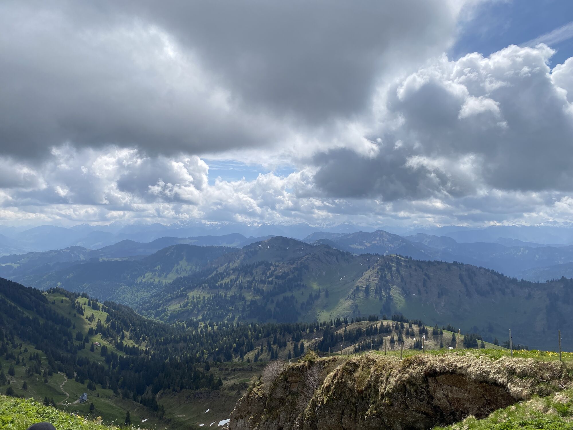
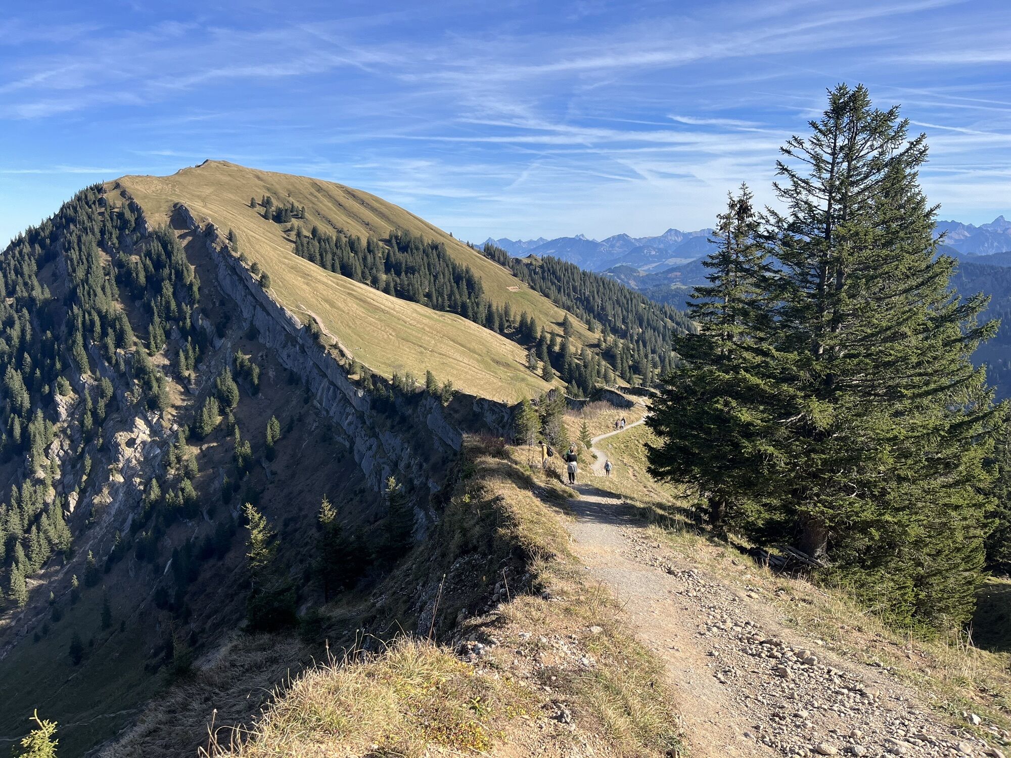
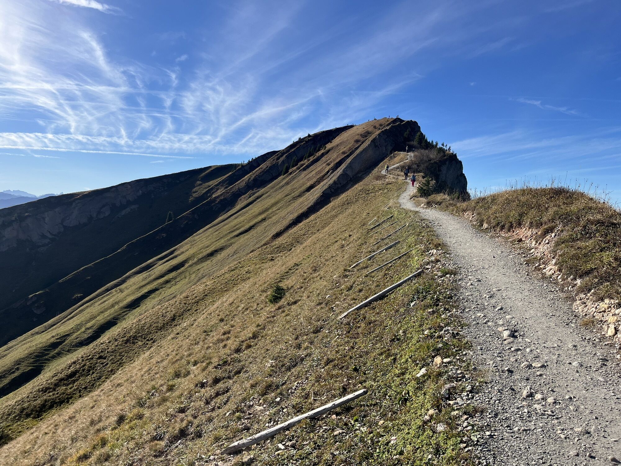
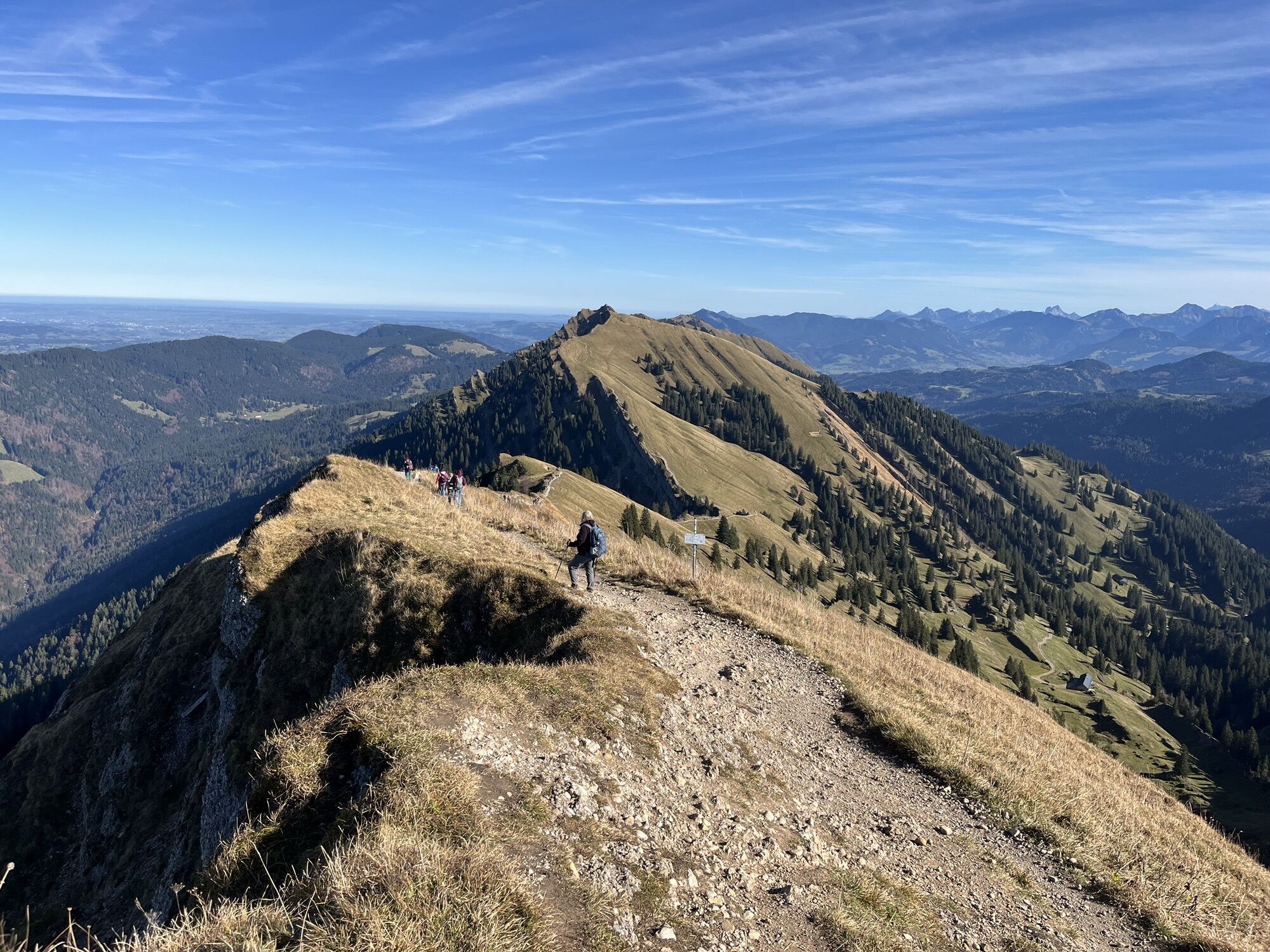
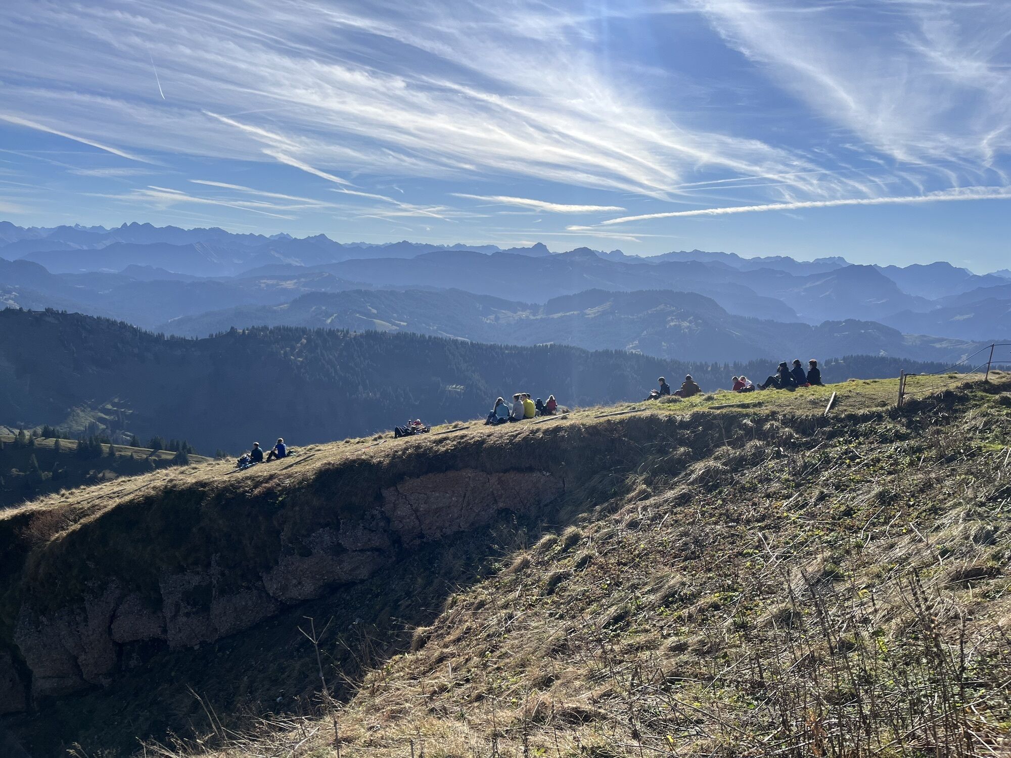
Ascent with the Hochgratbahn. Experienced hikers walk along the well-known Nagelfluh chain over the peaks of Hochgrat, Gelchenwanger Grat, Rindalphorn, Gündleskopf, and Buralpkopf to Sedererstuiben. Along...
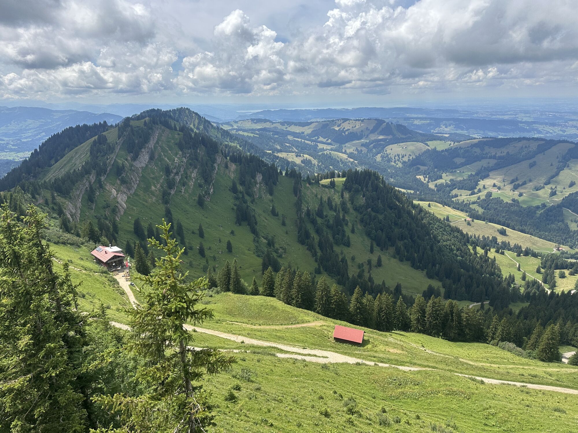
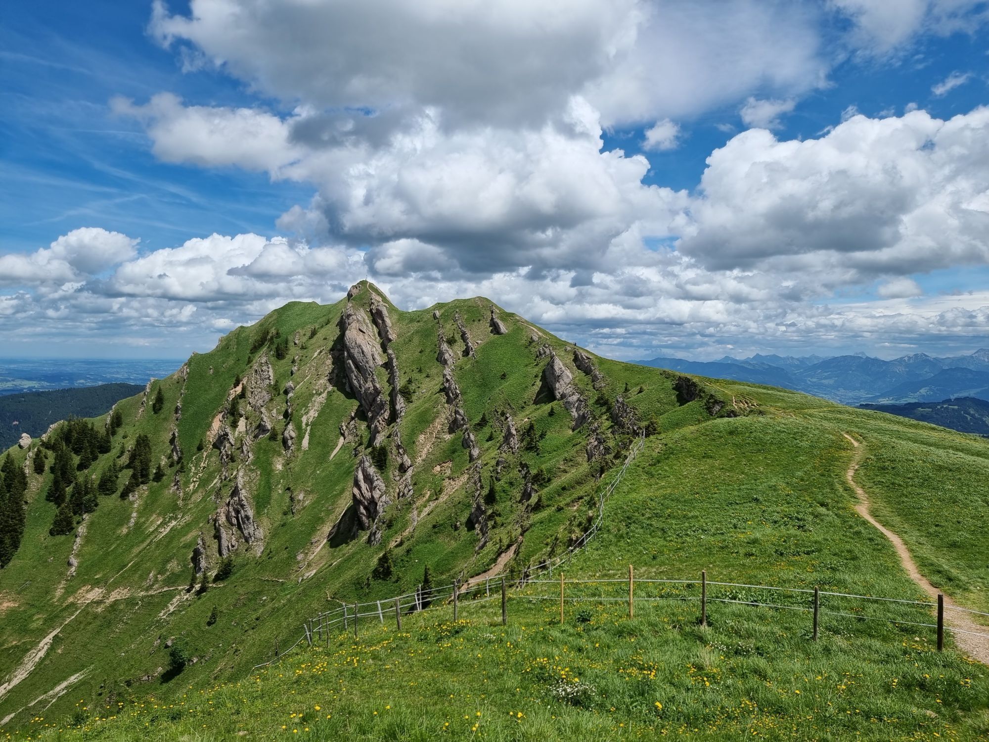
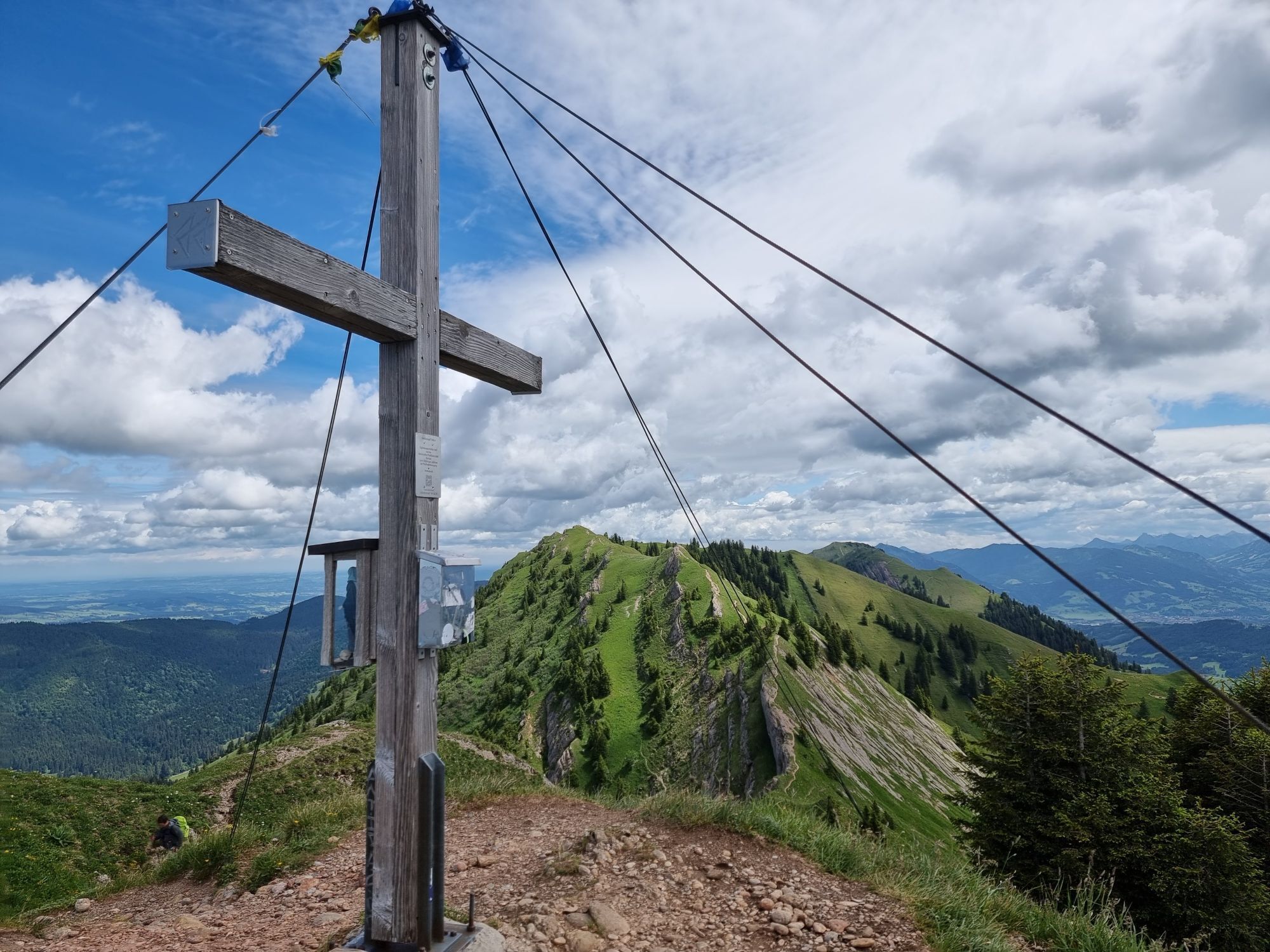
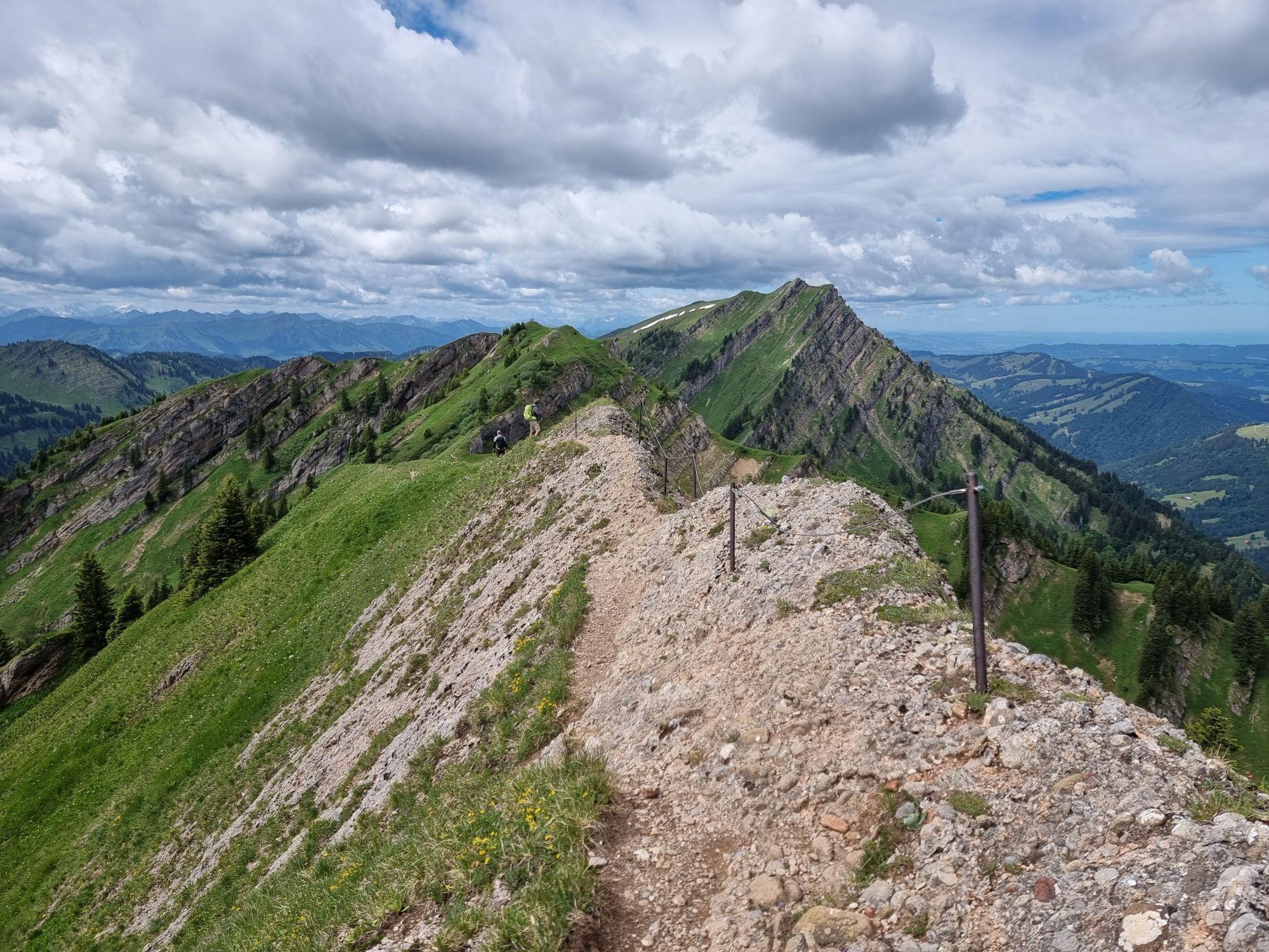
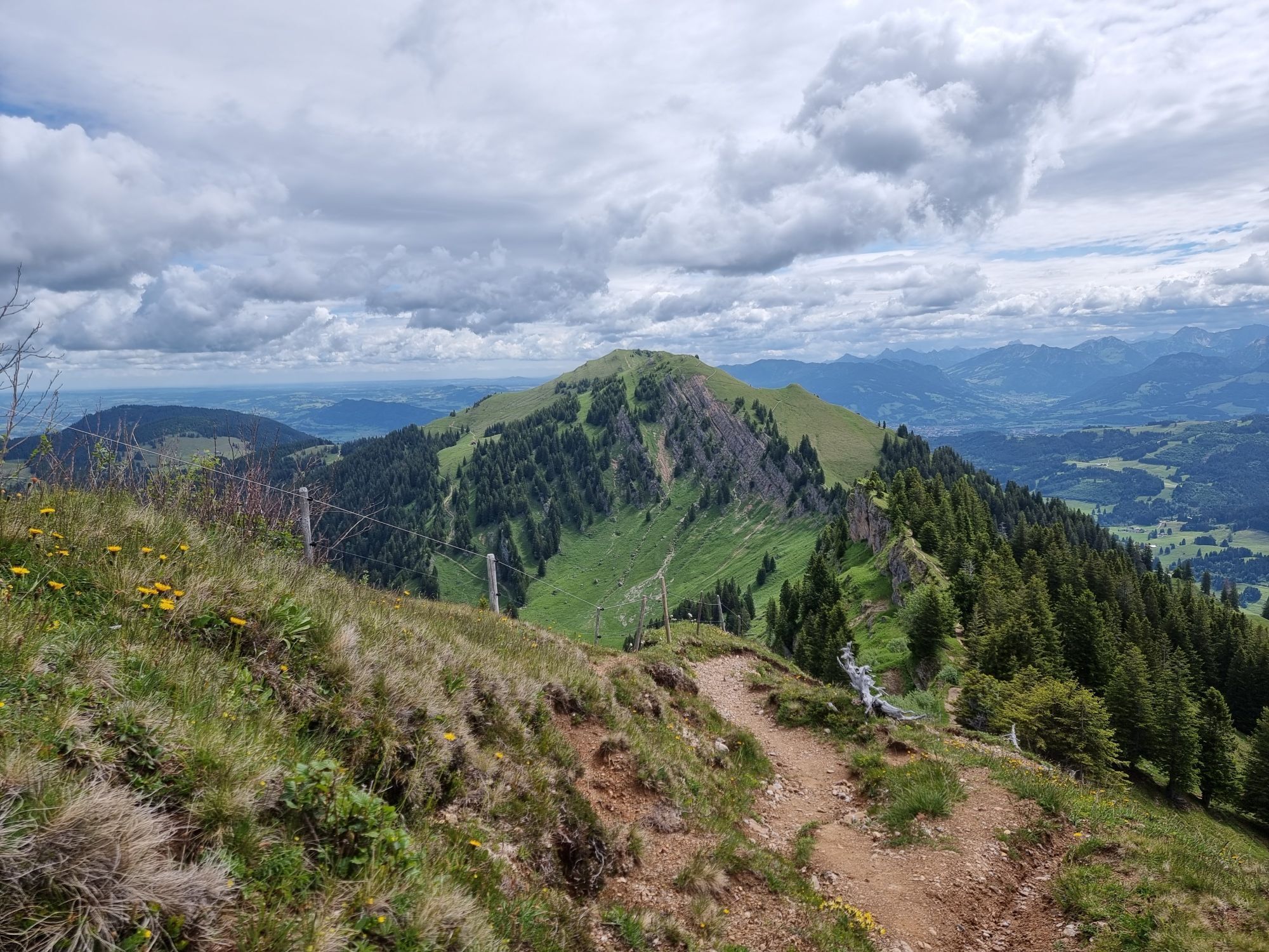
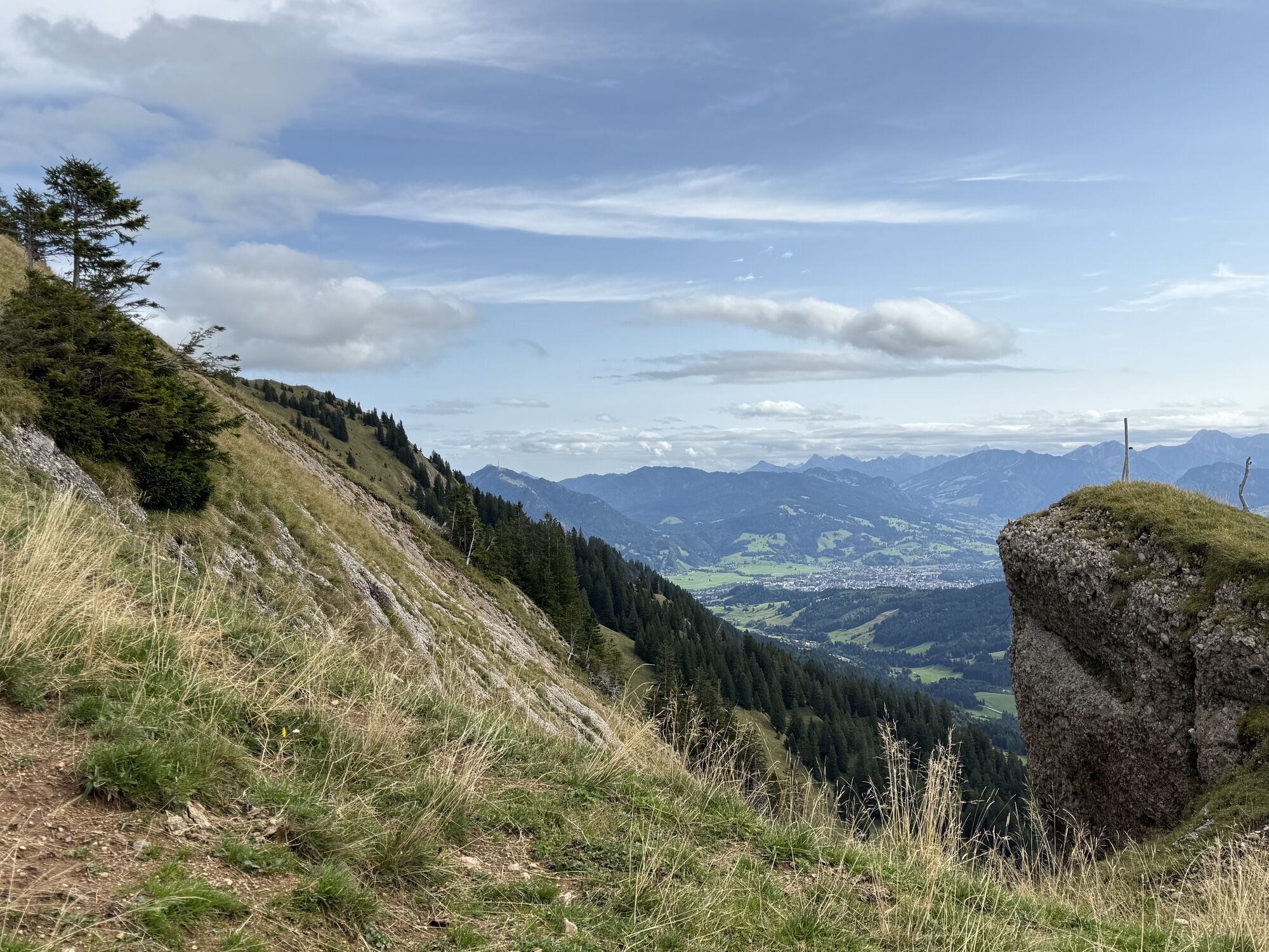
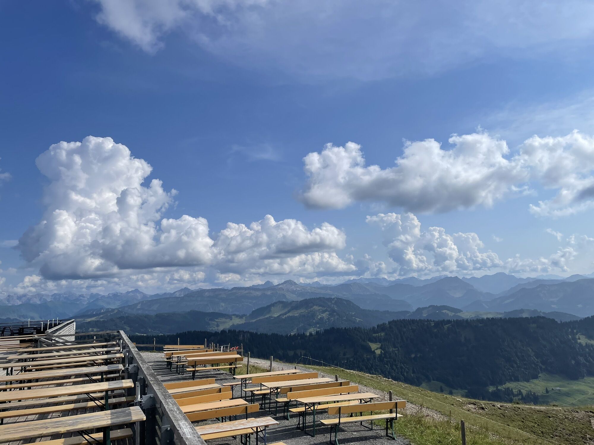
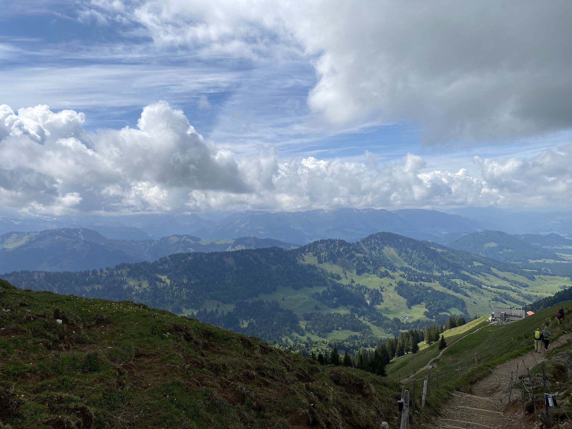
Ascent with the Hochgratbahn. Experienced hikers walk along the well-known Nagelfluh chain over the peaks of Hochgrat, Gelchenwanger Grat, Rindalphorn, Gündleskopf, and Buralpkopf to Sedererstuiben. Along the entire route, you enjoy fantastic views and a varied panorama – from Zugspitze, the view extends over the Allgäu and Vorarlberg Alps to Säntis and Altmann in eastern Switzerland. To the north, the view extends into the wide foothills.
Before the ascent to the Stuiben, take the descent on the left. Shortly afterward, you reach Alpe Gund with options for food and overnight stays. From there, go back a few meters and follow the signs to Ehrenschwanger Valley/Jagdhaus/Hochgratbahn. Shortly after the hunting lodge of the prince and lord of the hunt Waldburg-Zeil, either go straight ahead on the direct path over the 'Hohe Brücke' or take a slight detour to the right via Alpe Unteregg (with refreshment options) and return towards the starting point. Return through the Ehrenschwanger Valley to the valley station of the Hochgratbahn.

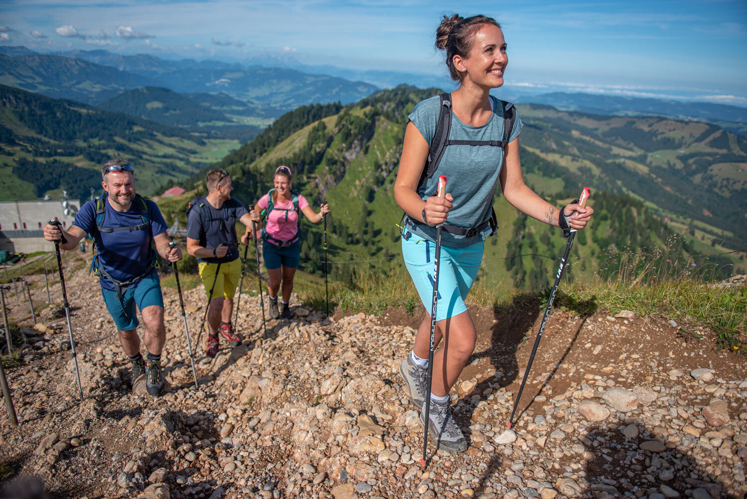
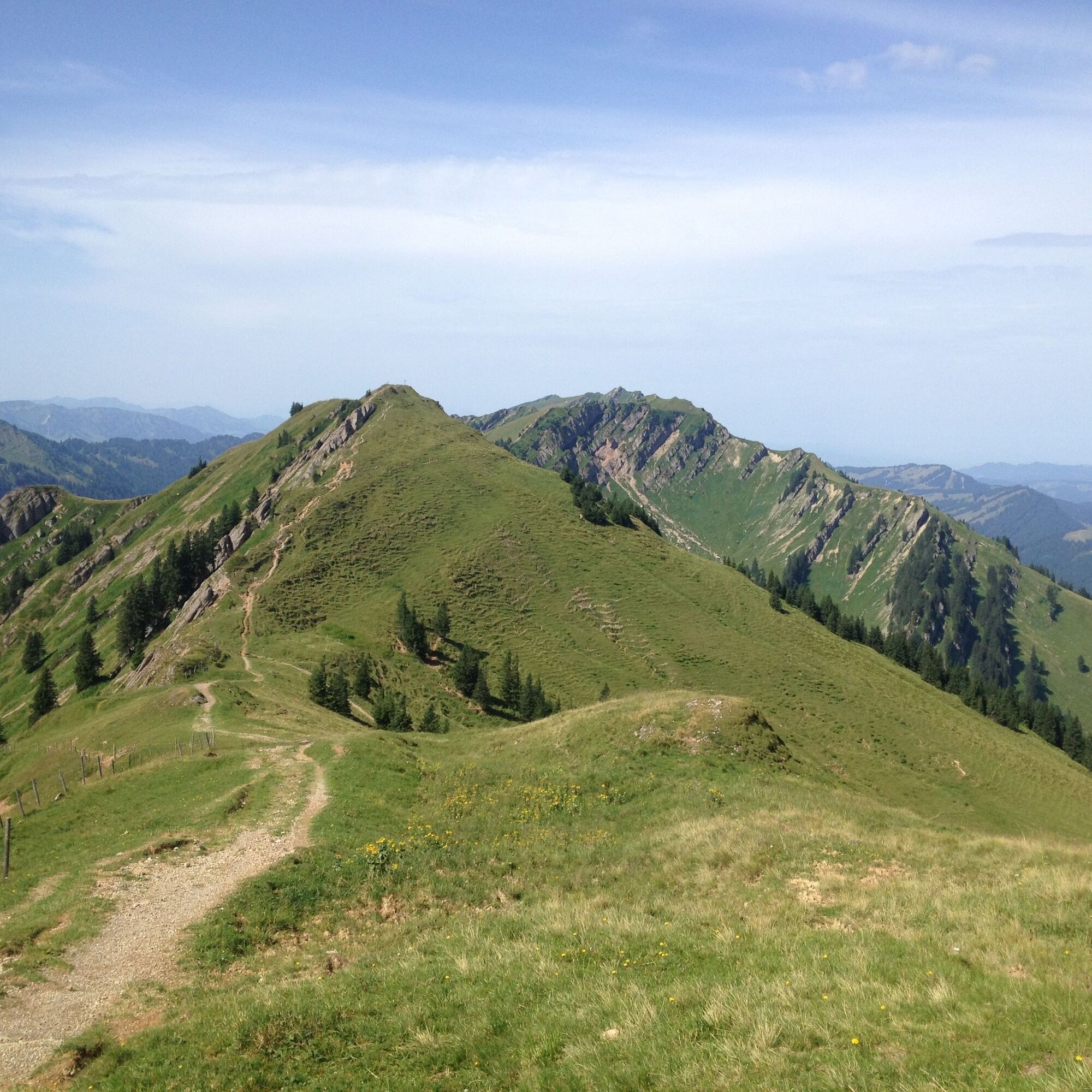

Hochgratbahn mountain station - along the Nagelfluh chain up to just before the Stuiben - Ehrenschwanger Valley - Hochgratbahn valley station
Ano
B308 to Oberstaufen, then on to Steibis.
Take the train to Oberstaufen and then the bus (line 95) from Oberstaufen station to the Hochgratbahn.
Traveling by bus and train in and around Oberstaufen?
Information, bus schedules, and a map available at oberstaufen.de/bus-parken
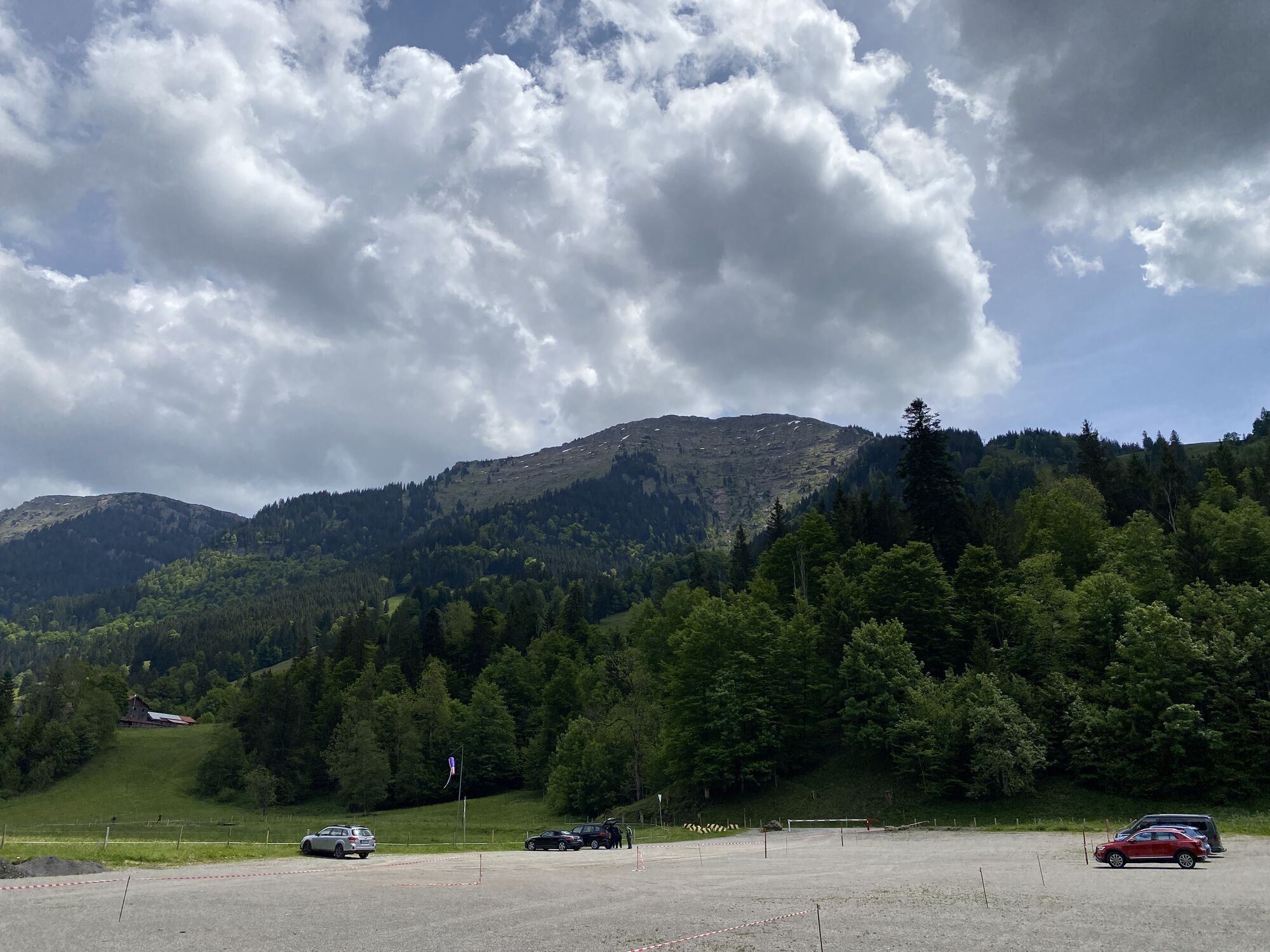
Paid parking lot at the Hochgratbahn valley station
112 European emergency call or emergency app SOS-EU-ALP
Obtain weather information in advance
Stay on the marked paths
Make sure to bring enough provisions if no refreshment stops are planned.
Webové kamery z prohlídky
-
Hochgratbahn Bergstation
-
Oberstaufen - Biohotel Schratt
-
Oberstaufen - Biohotel Schratt
-
Segelclub Alpsee
-
Gschwendlift 1 Bergstation
-
Balderschwang - Schelpenbahn
-
Bergstation Ofterschwang
-
Talstation Ossi-Reichert Bahn
-
Segelclub Alpsee
-
Mittaggipfel
-
Balderschwang
-
Fluhexpress Berg
-
Fluhexpress Berg
-
Fluhexpress Berg
-
Fluhexpress Berg
-
Alpe Hohenschwand
-
Alpe Birkach
-
Fluhexpress Bergstation
-
Hündlebahn Bergstation
-
Imberghaus
-
Balderschwang - Siplinger Suites
-
Ofterschwang - Allgäuer Berghof
-
Schelpenalp Talstation
-
Alpsee Bergwelt
-
Alpsee Bergwelt
-
Alpsee Bergwelt - Bärenfalle
-
Alpe Birkach - Nagelfluh
-
Allgäuer Berghof - Erlebnishof
Získejte přehled
Vždy živě na místě s více než 9 500 webkamerami. bergfex Jako uživatel Pro si nyní můžete zobrazit odpovídající webové kamery pro mnoho prohlídek v aplikaci prohlídky z. Můžete si tak přímo prohlédnout aktuální podmínky.

Oblíbené prohlídky v okolí
-
4.7
Steibis - Buchenegger Waterfalls
středníTuristika 6.47 km -
3.9
Klassikertour: Auf den Grünten
heavyTuristika 8.50 km -
4.5
Hittisau | Wasserwanderweg
světloTematická stezka 7 km -
4.4
Starzlachklamm
středníTuristika 5.30 km -
5.0
Nagelfluh ridge route Hochgrat - Mittag
heavyTuristika 14.0 km -
4.7
Rindalphorn und Hochgrat
středníTuristika 15.6 km -
4.9
Immenstädter Horn
světloTuristika 9.35 km -
3.7
Rundtour Mittag
světloTuristika 15.7 km -
5.0
Siedelalpe Runde von See - Immenstadt
světloTuristika 10.3 km -
4.5
Immenstädter Horn - Gschwender Horn
světloTuristika 10 km
Pěší turistika a stopování


Nenechte si ujít nabídky a inspiraci pro vaši příští dovolenou
Vaše e-mailová adresa byl přidán do poštovního seznamu.





