







Stadtprozelten: Hase - Circular route 1


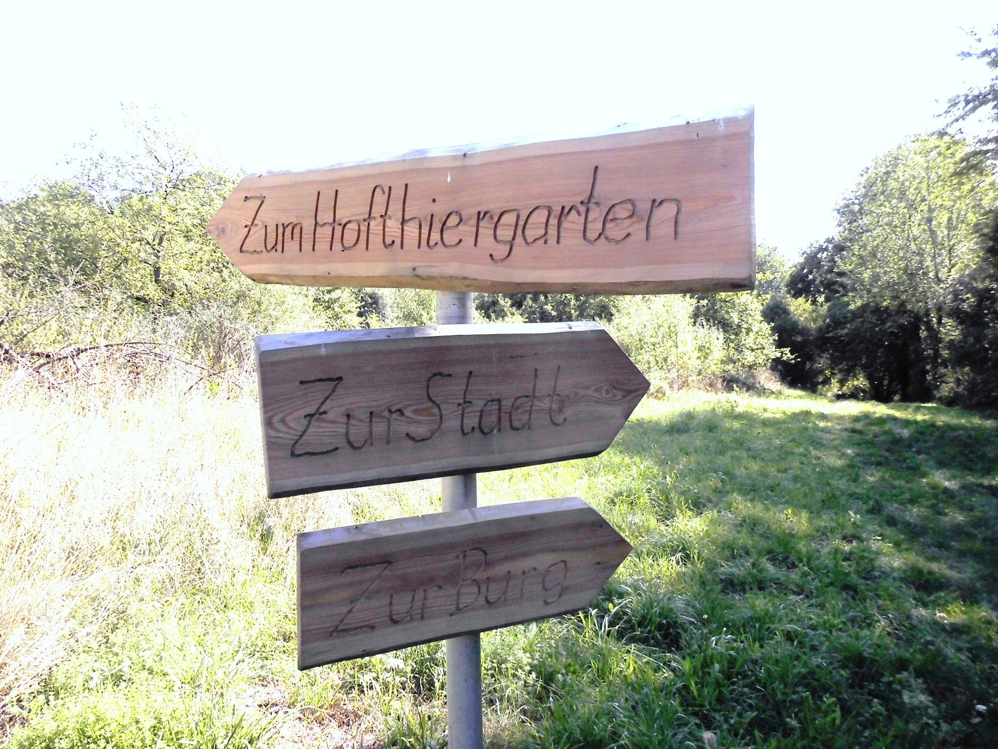
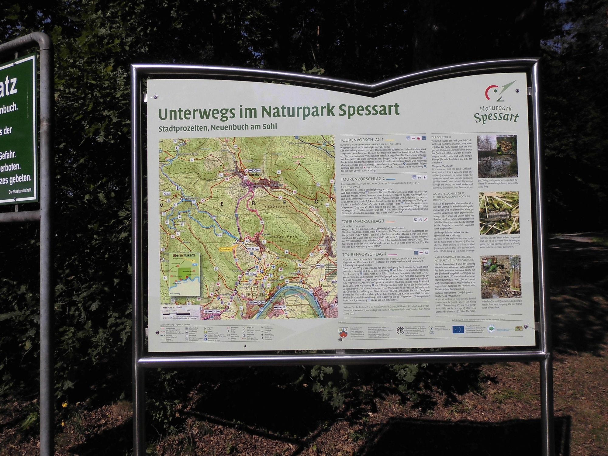
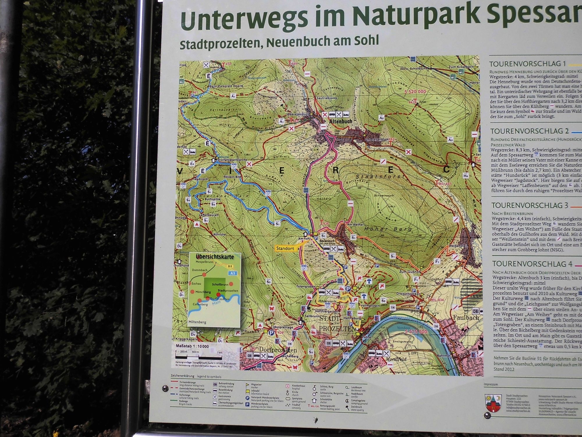

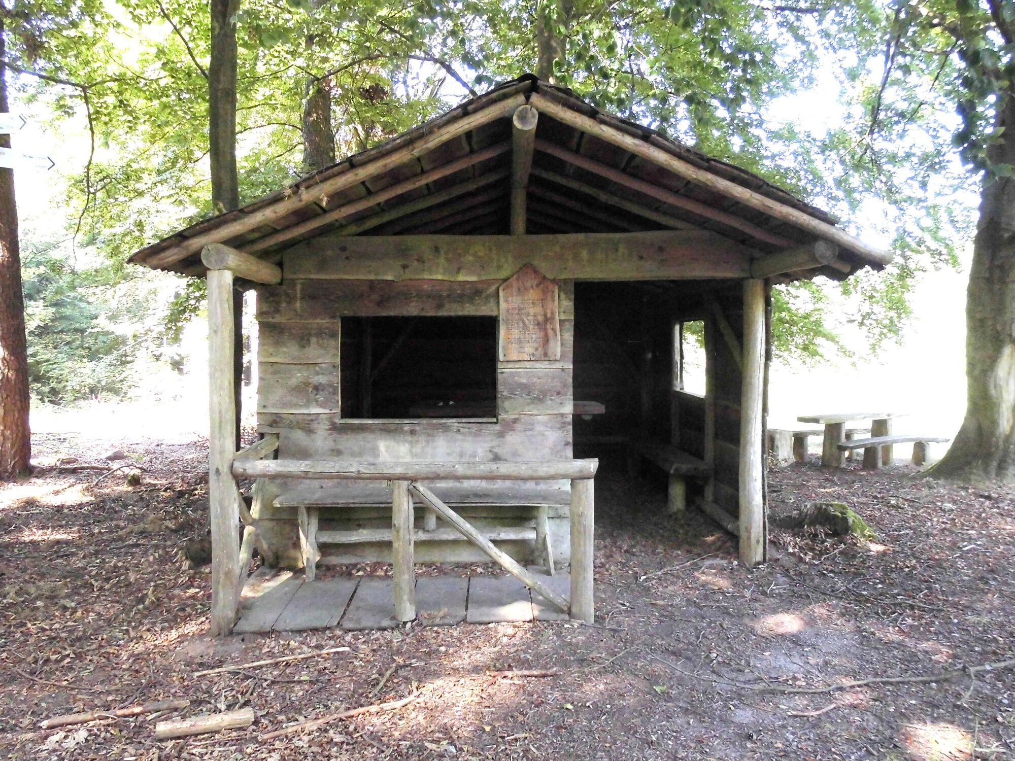

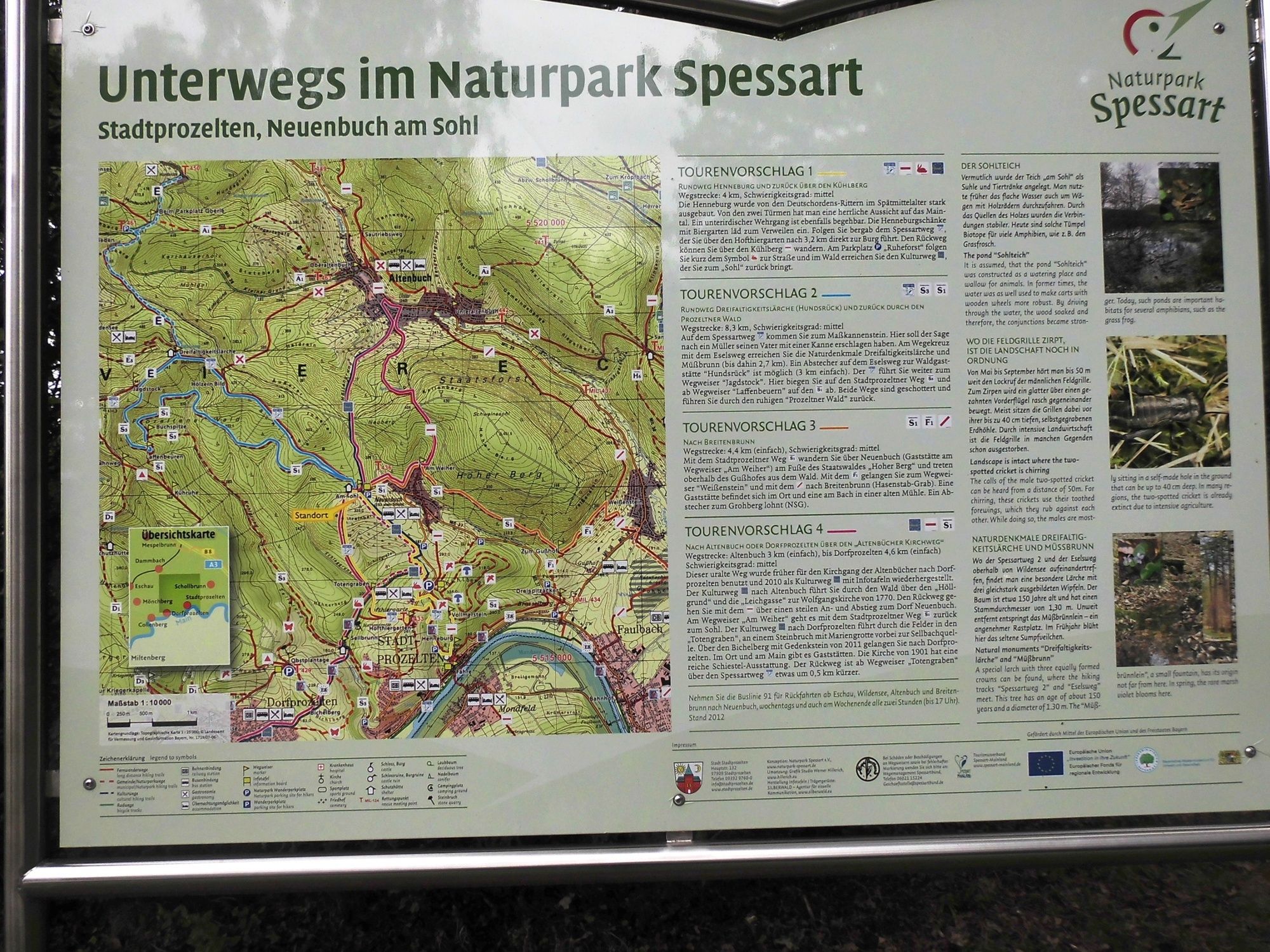

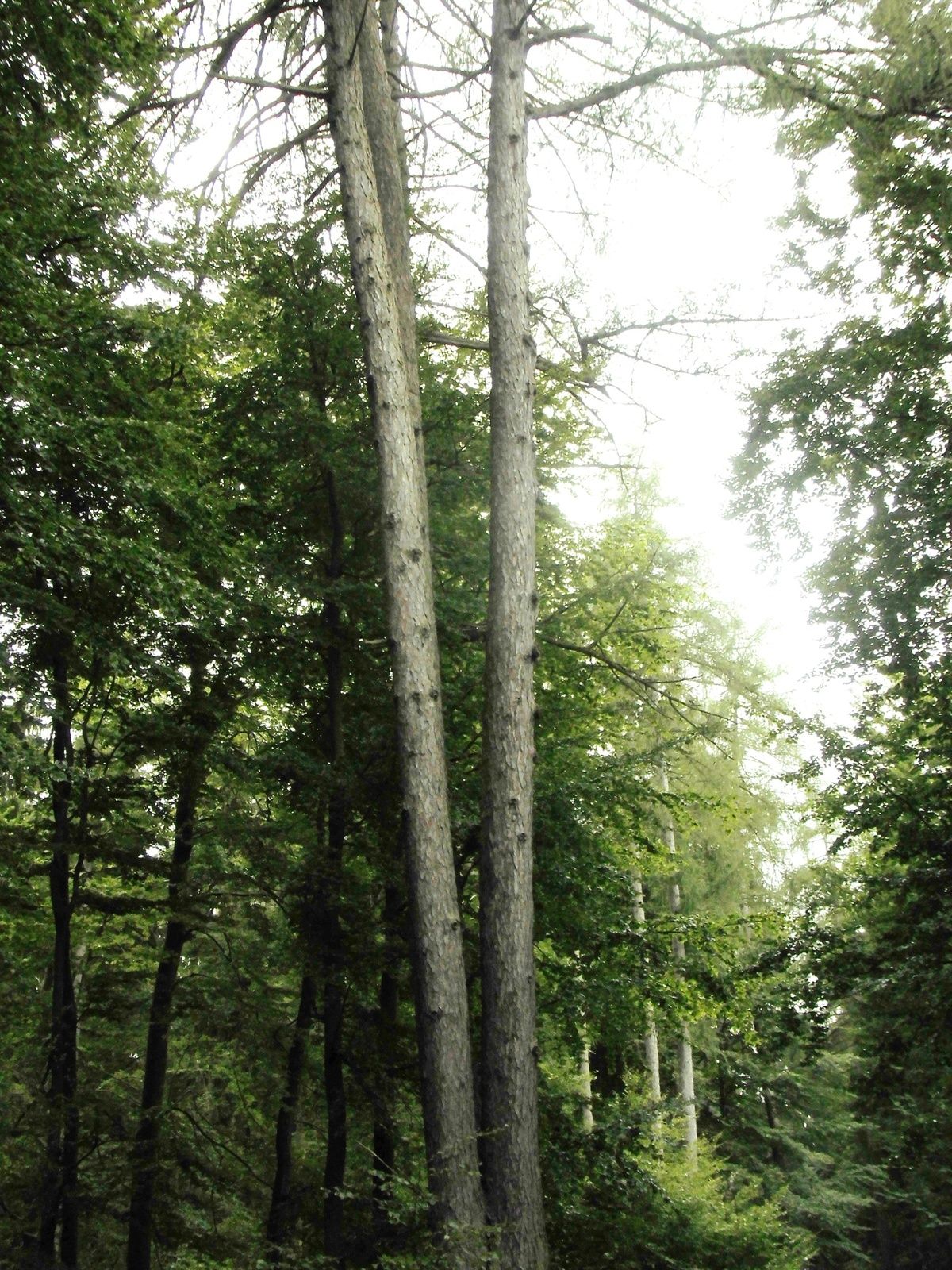
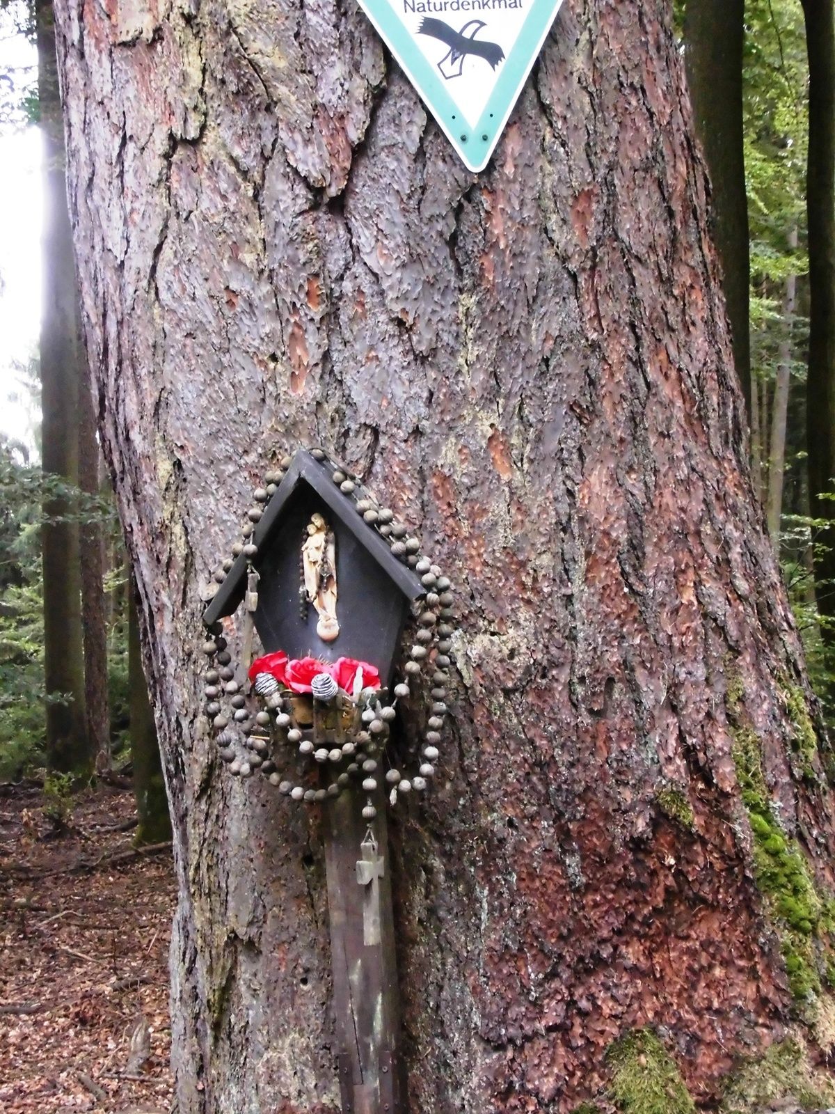
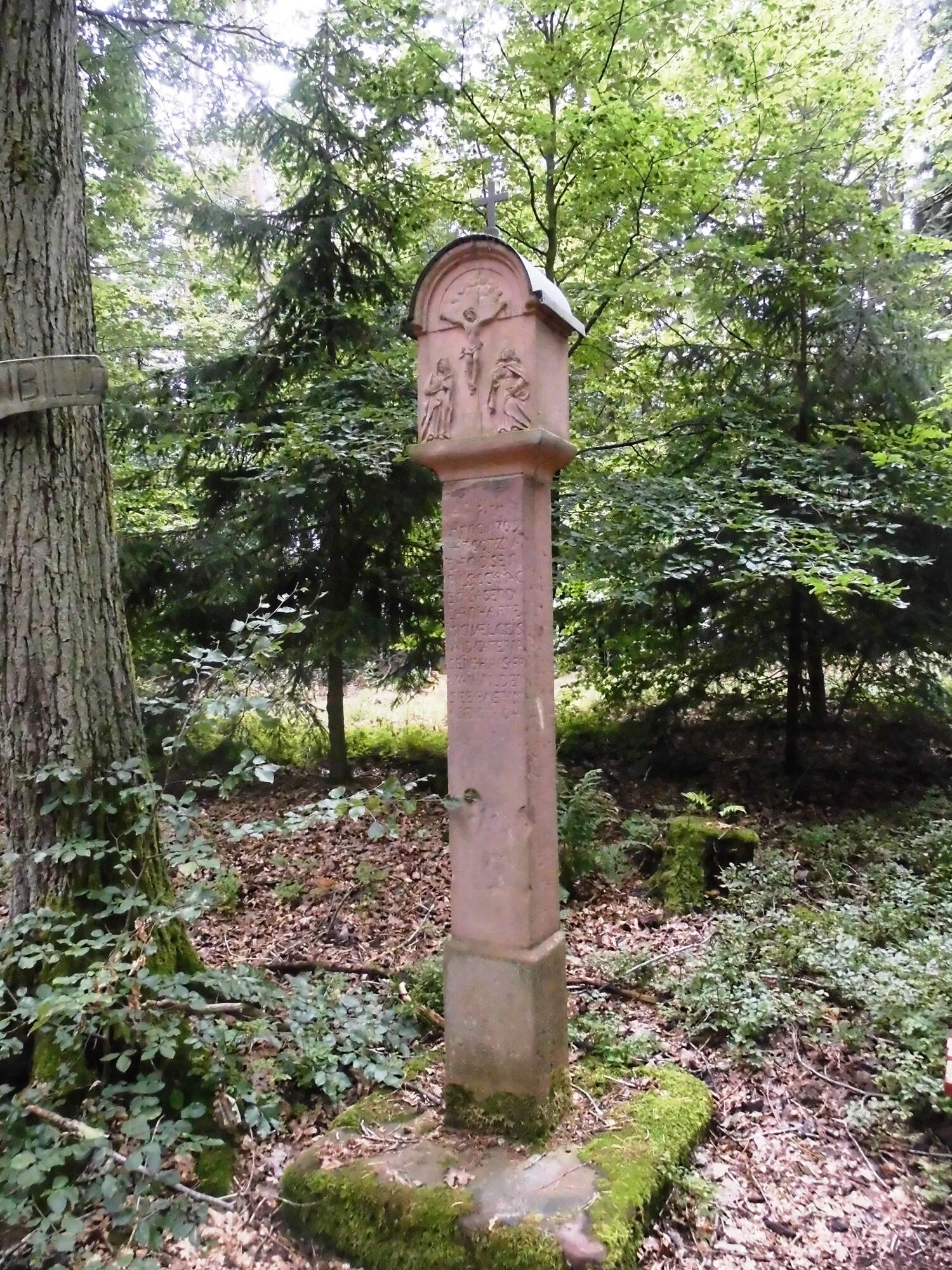
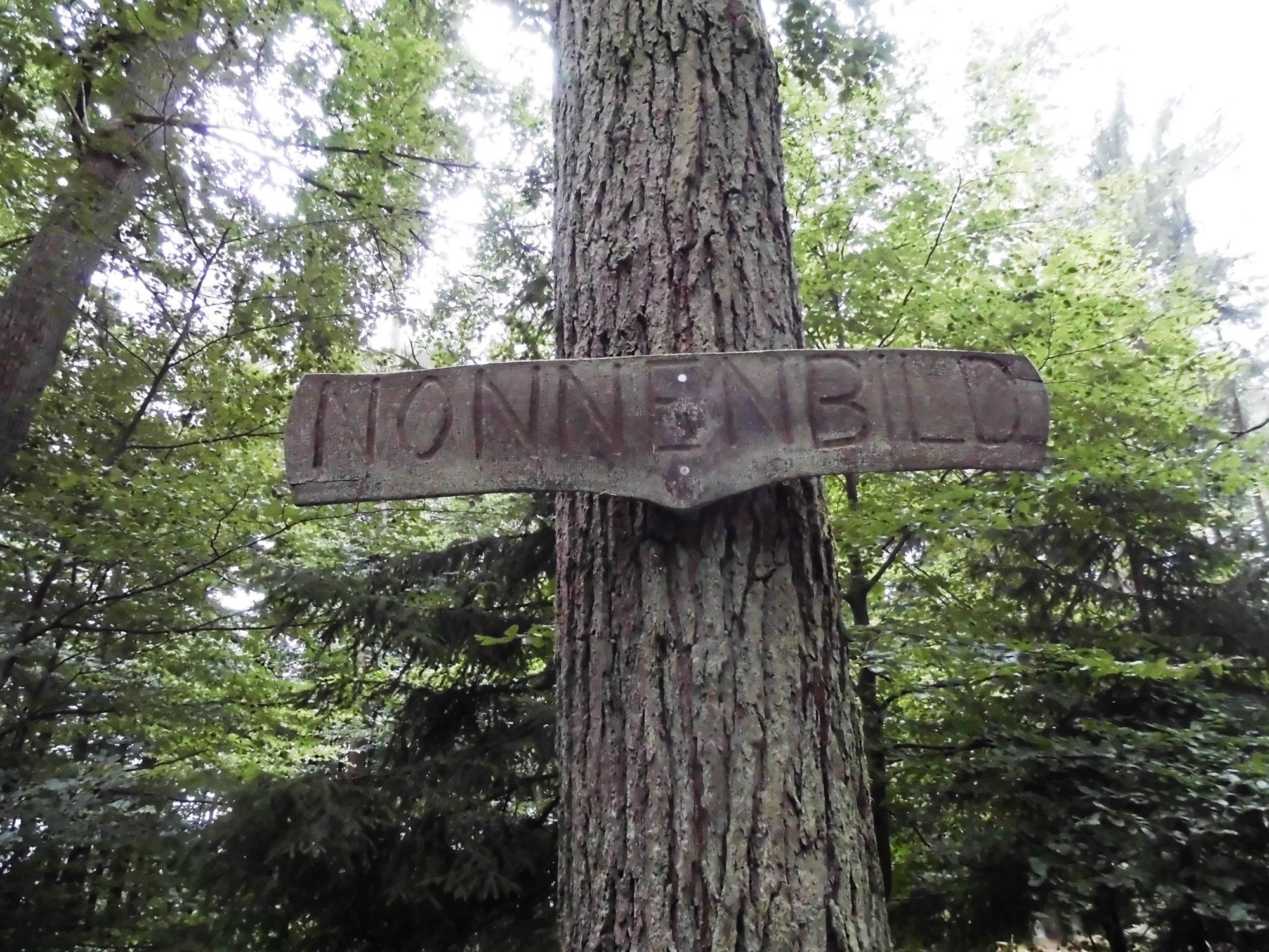

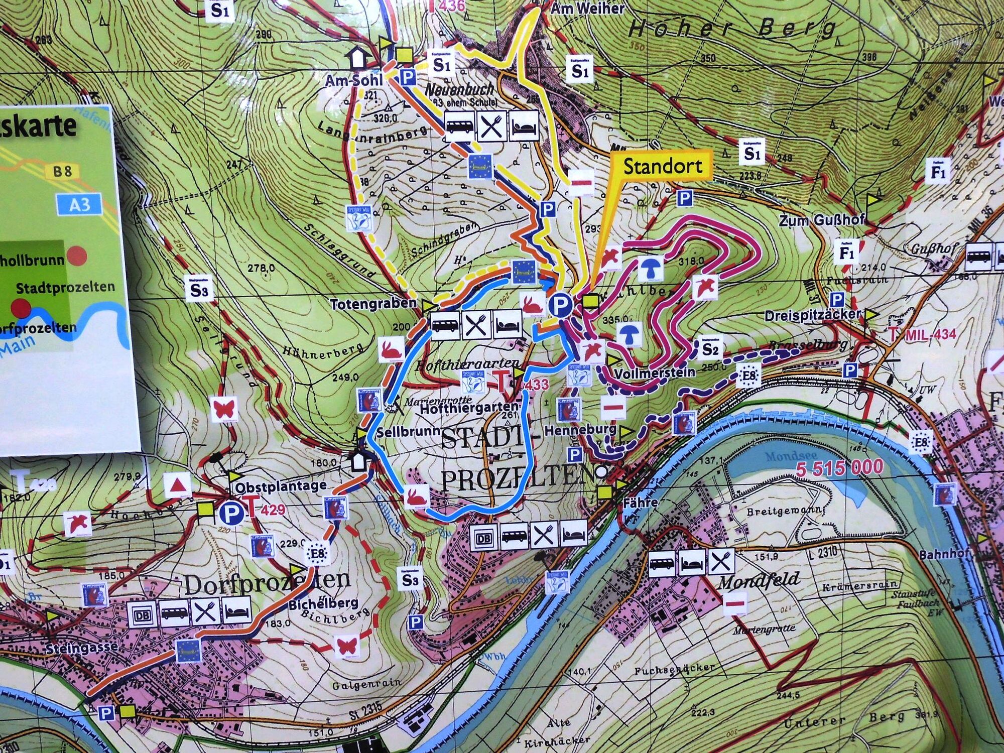
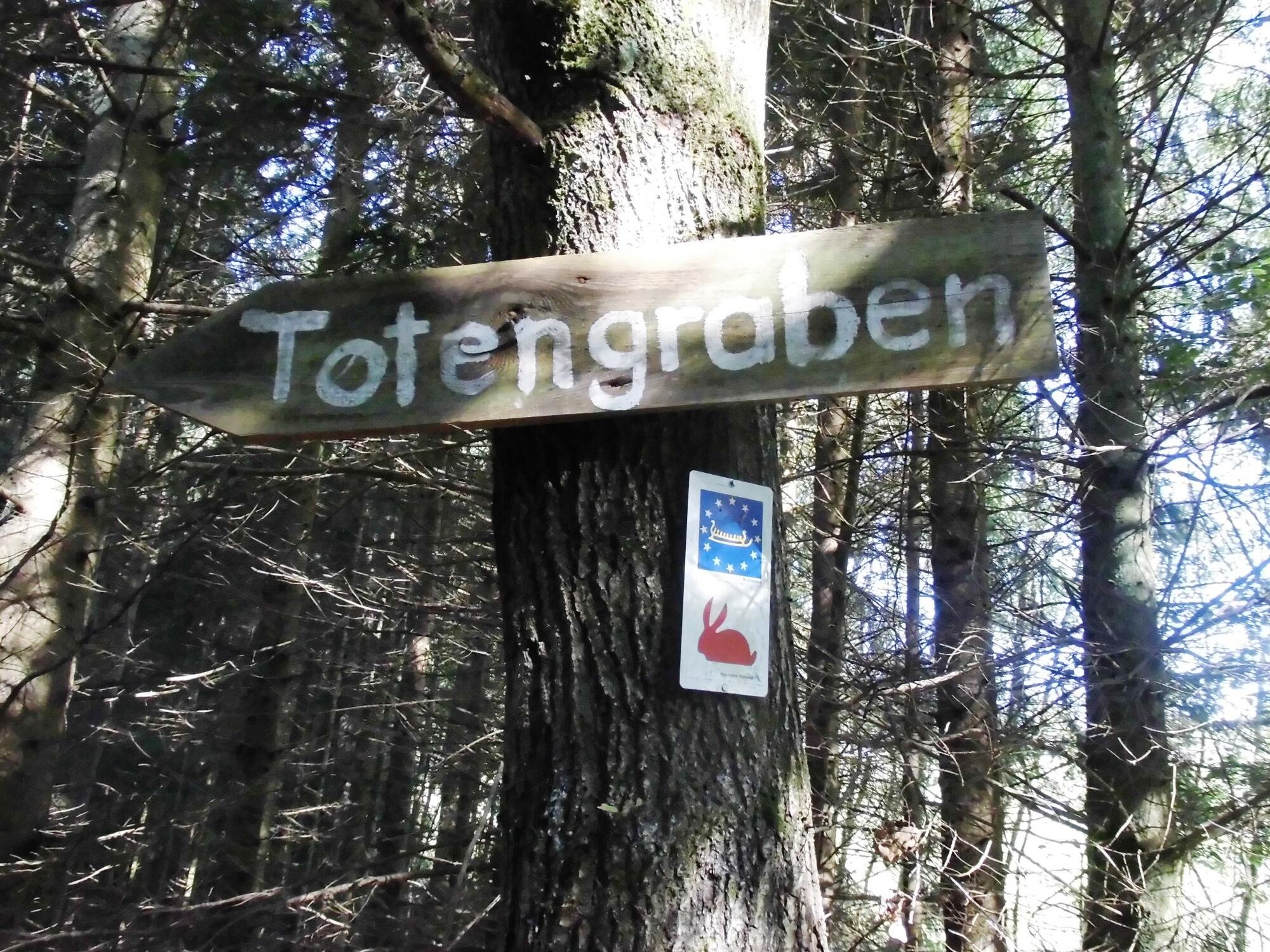
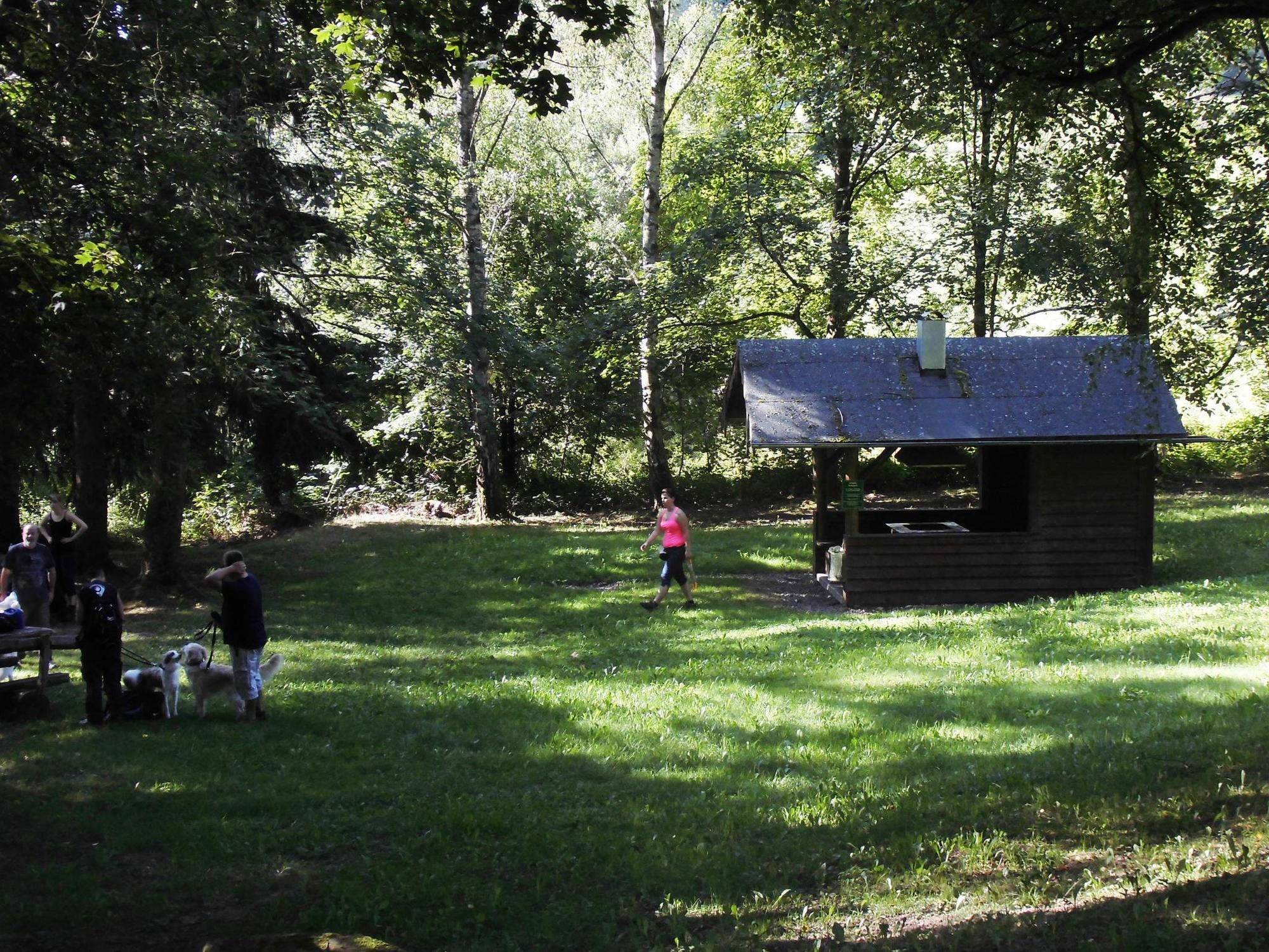
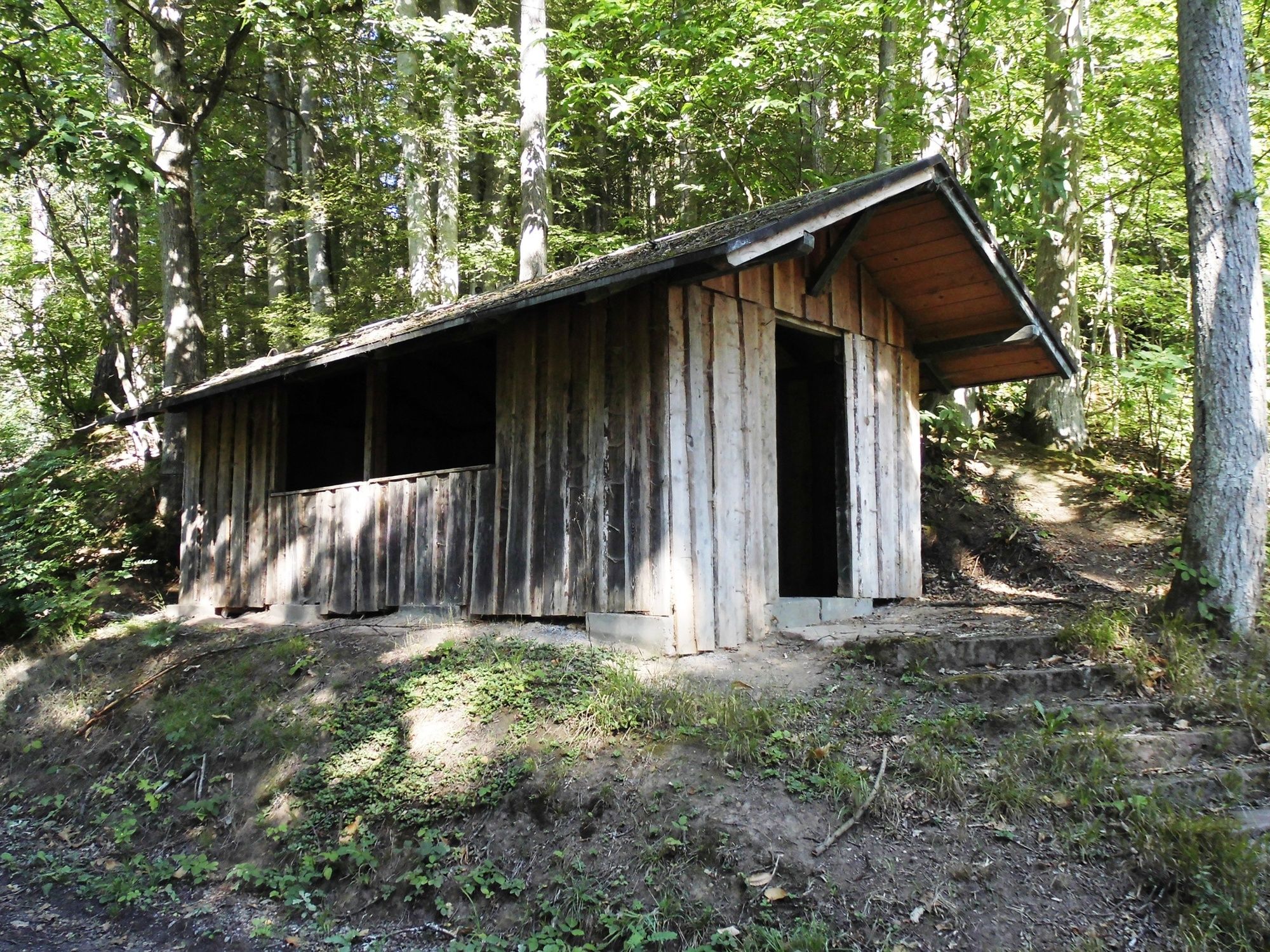
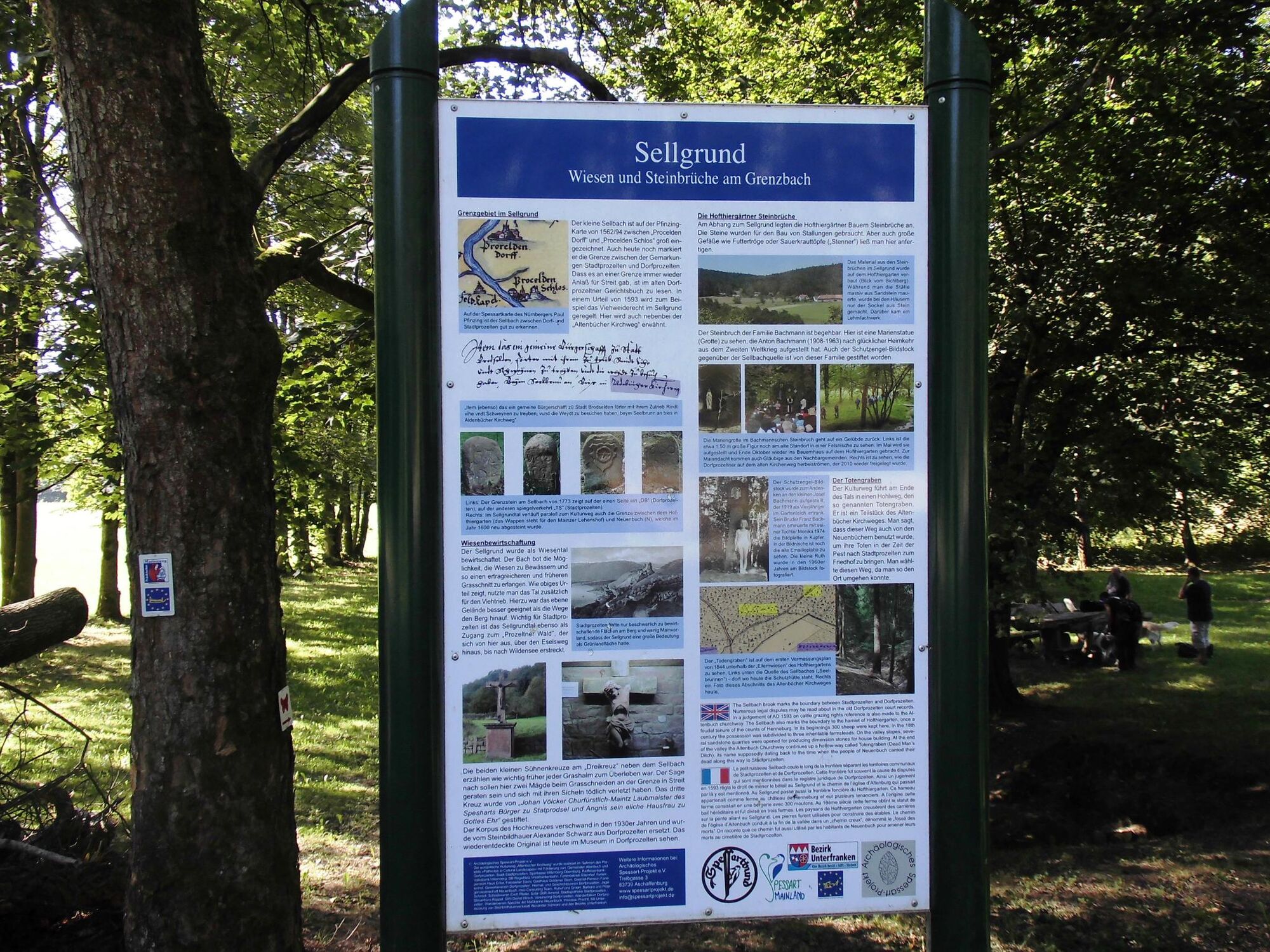
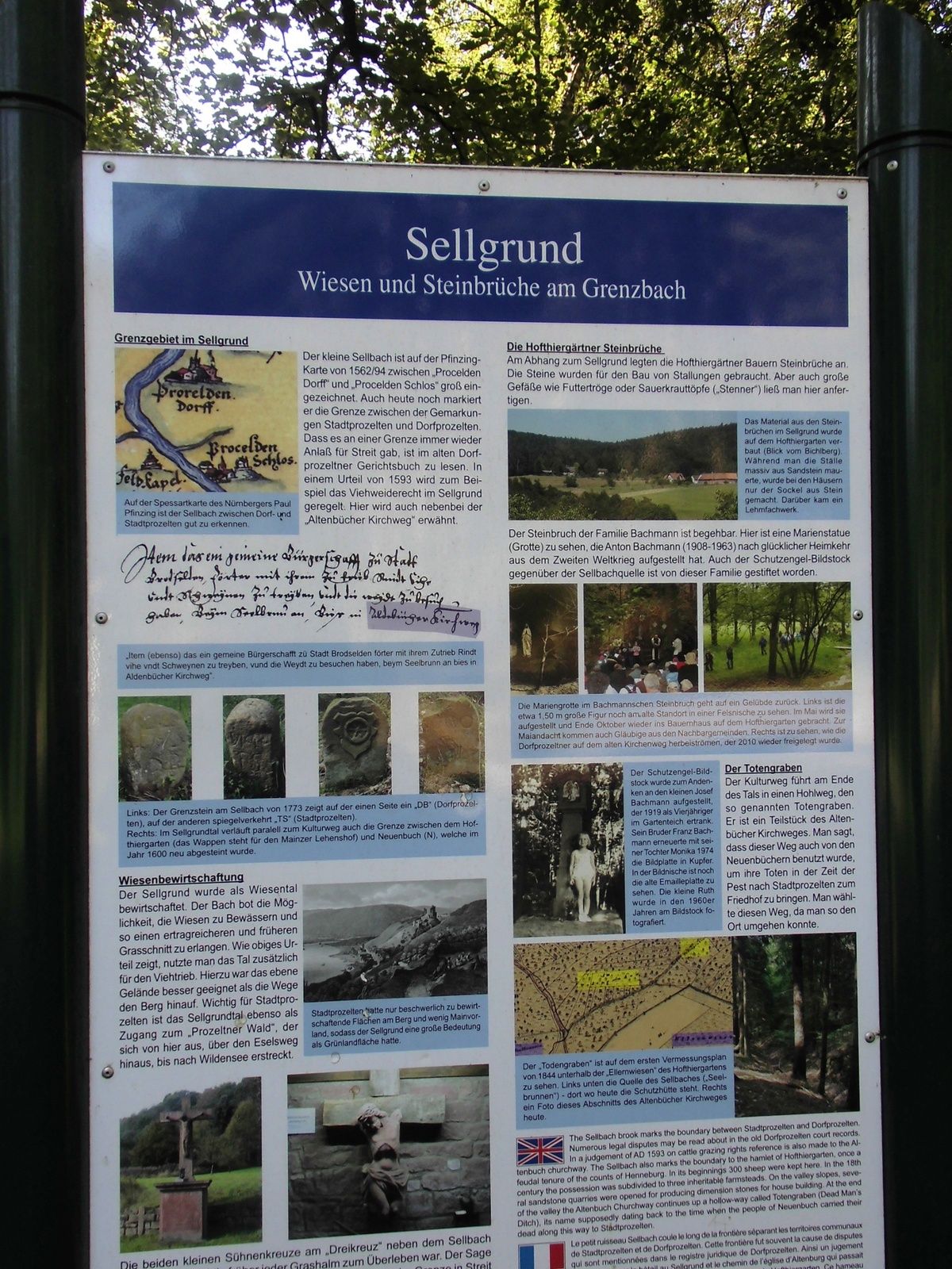


Starting from the information board of the Spessart Nature Park at the Ruheforst parking lot, the path continues immediately after crossing the local connecting road Stadtprozelten–Neuenbuch to the right, until after a small clearing the "Altenbucher Kirchweg" branches off with our path to the left through the "Totengraben." After crossing the Totengraben, we reach a signpost "Totengraben" and the path continues towards Dorfprozelten. At this point, we also cross the "Spessartweg 2" and after about 700 meters reach the Sellbrunn signpost with the rest and barbecue area "Sellgrund," which is also the lowest point of our hike. Then continue about 100 meters together with S3 to the left, where we then turn left again, always slightly uphill towards a playground, which we see to the right of the path after leaving the forest. Now we walk briefly between houses until we reach the local connecting road Stadtprozelten - Neuenbuch, which is crossed directly to continue to Hofthiergarten. On this section of the path, there is a wide view over the Main valley and backwards towards the Odenwald with Boxtal and part of the fields of Rauenberg. In Hofthiergarten, there is currently only a place to refresh yourself on weekends. Upon reaching the Hofthiergarten signpost, we turn right and go together with Spessartweg 2, the Franconian Mary’s Way, and the European long-distance trail 8 on the paved road uphill about 150 meters until the path turns right again and leads through a cattle pasture. We stay here until the next fork in the path and then leave the path to the left back to our starting point.
From Miltenberg direction, after the cemetery, turn left over the "Kleine Steige" through Hofthiergarten further to the forest and then turn right to the Ruheforst parking lot.
By train from the direction of Miltenberg or Wertheim to the "Stadtprozelten" station. From here, the Transport Association of the Bavarian Lower Main (VAB) also operates buses to Hofthiergarten; continue on foot along the local connecting road to the "Ruheforst" parking lot.
At the "Ruheforst" parking lot
Oblíbené prohlídky v okolí
-
5.0
On the way to Himmelreich
středníTuristika 15.0 km -
"Of Clay, Stones and Shards"
středníTuristika 8.31 km -
5.0
Dorfprozelten: Kollenburg-Chapel-Route
středníTuristika 11.8 km -
4.0
Around the Kaffelstein
světloTuristika 4.71 km -
5.0
Roman Route in Miltenberg M1
heavyTuristika 15.3 km -
Wertheim - Urphar - Wertheim
středníTuristika 12.8 km -
MainRadweg Wertheim bis Miltenberg
Jízda na kole 35.7 km -
4.0
European cultural route: "From Hecke to Häcke in Hebboch"
středníTuristika 10.2 km -
Miltenberg - Engelberg Monastery - Kleinheubach Castle - round trip
heavyTuristika 12.6 km -
5.0
Klingenberg: Hiking Trail Schnepfe
středníTuristika 5.03 km
Pěší turistika a stopování


Nenechte si ujít nabídky a inspiraci pro vaši příští dovolenou
Vaše e-mailová adresa byl přidán do poštovního seznamu.





