


Trail running: Reichenbachklamm & Breitenberg
Úroveň obtížnosti: T2


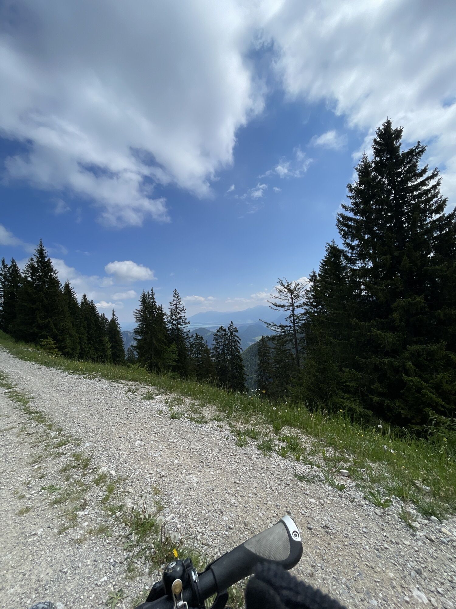
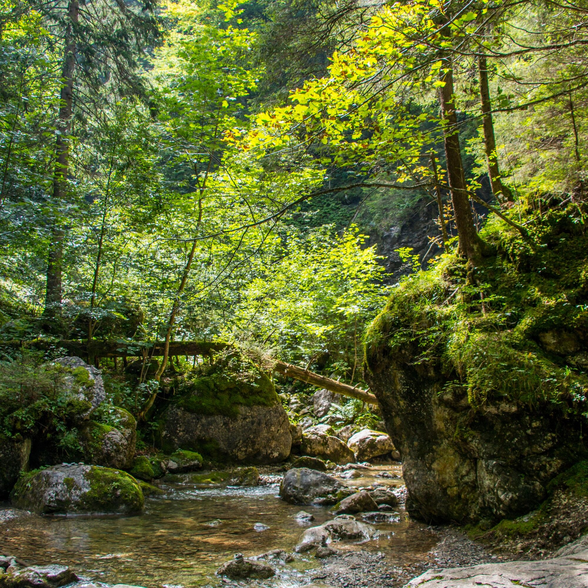
Over a distance of about 10 kilometers, the path leads you from Pfronten-Steinach up to the Hochalpe high plateau. First, you run on scenic trails through the Reichenbachklamm, where you can admire various...
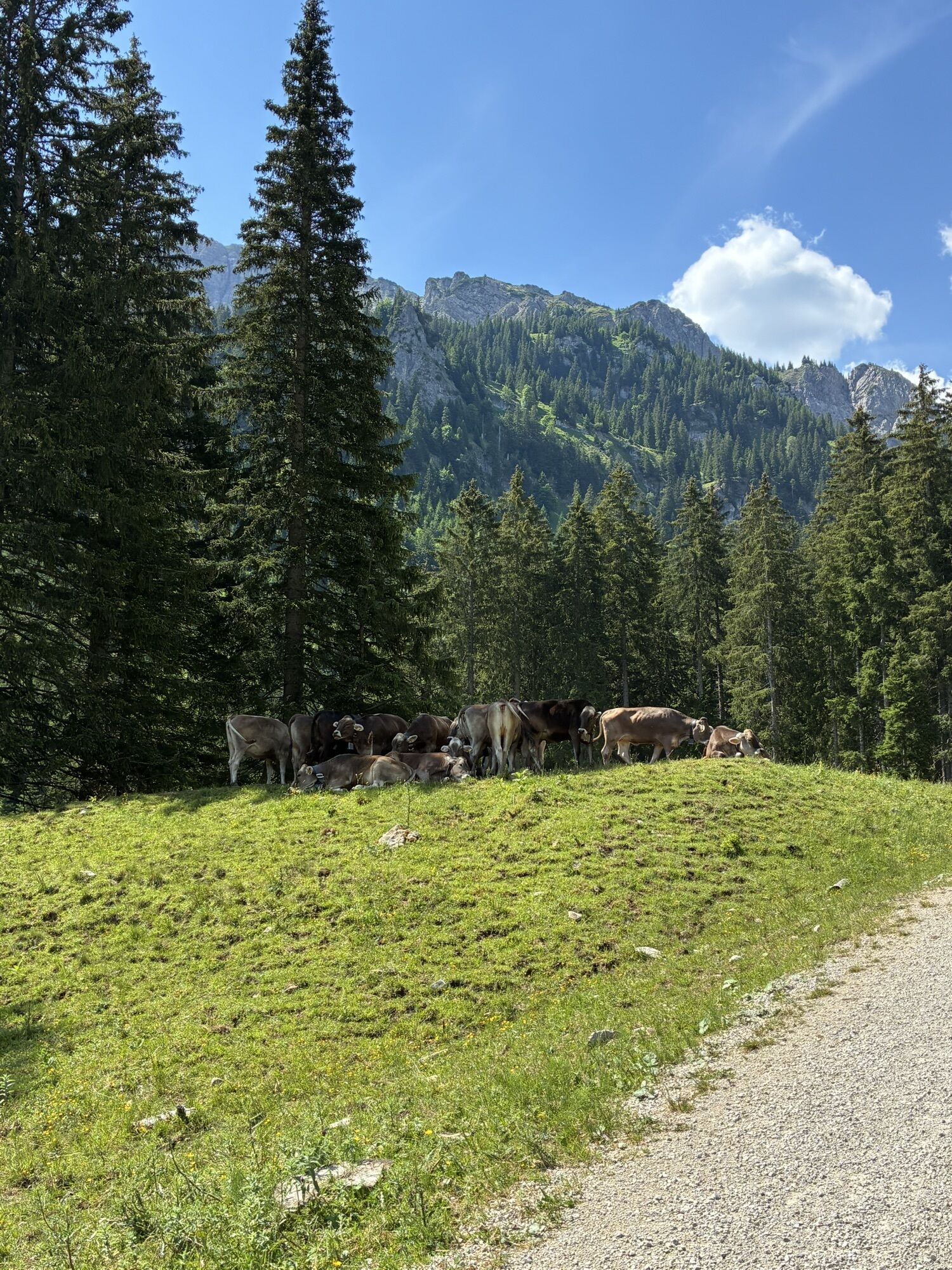
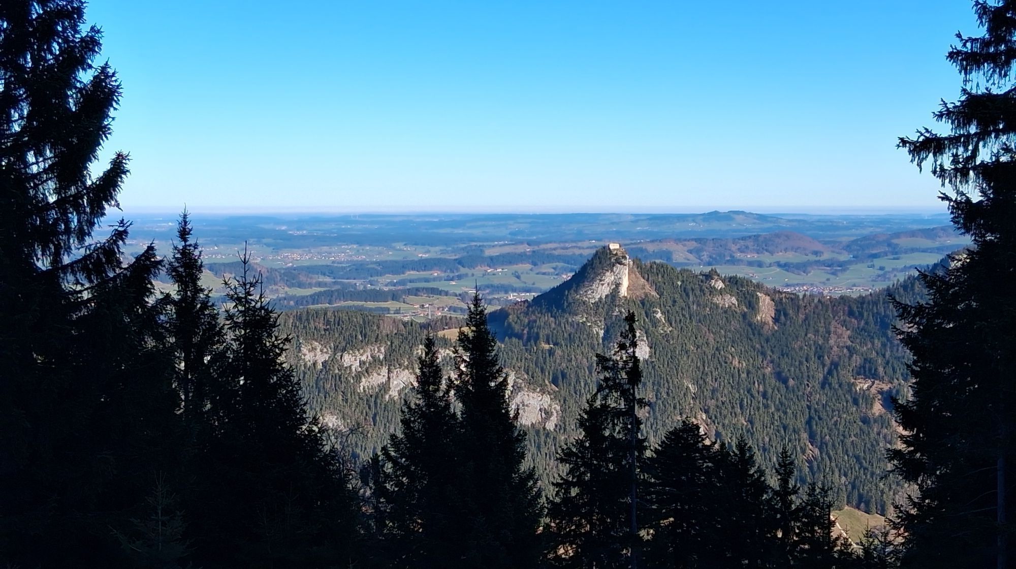
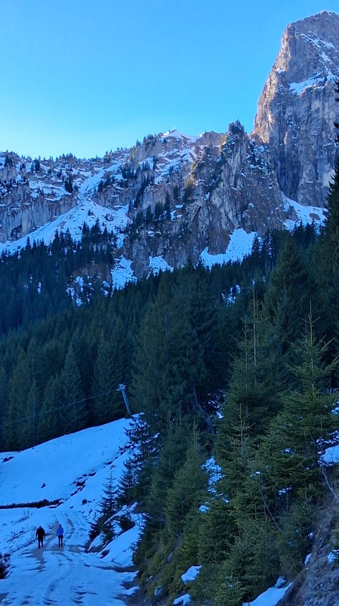
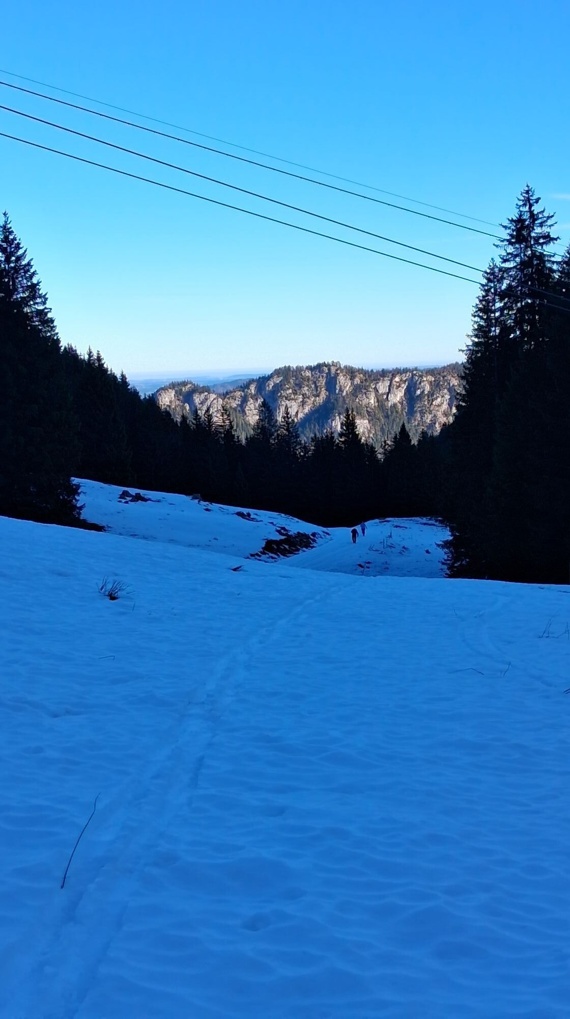
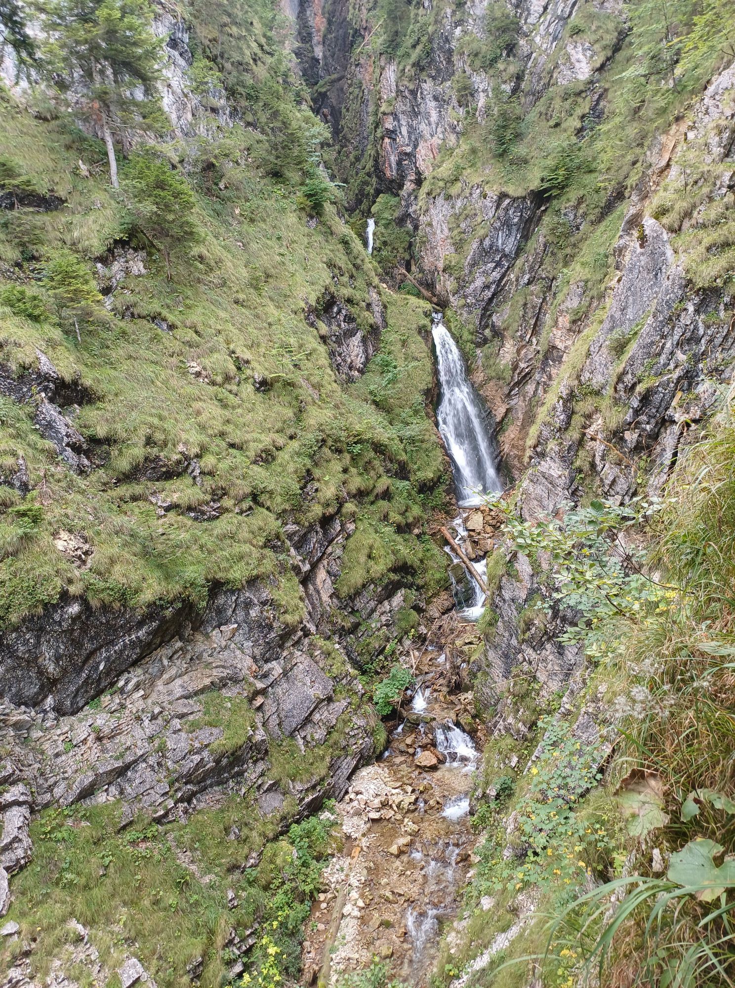
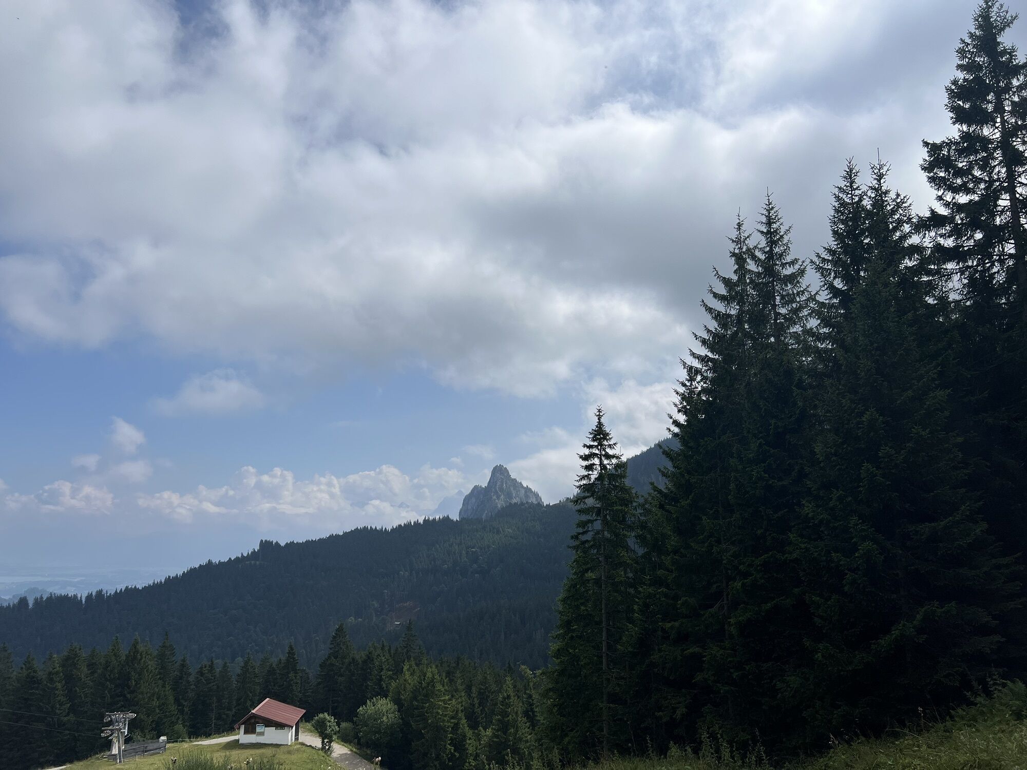
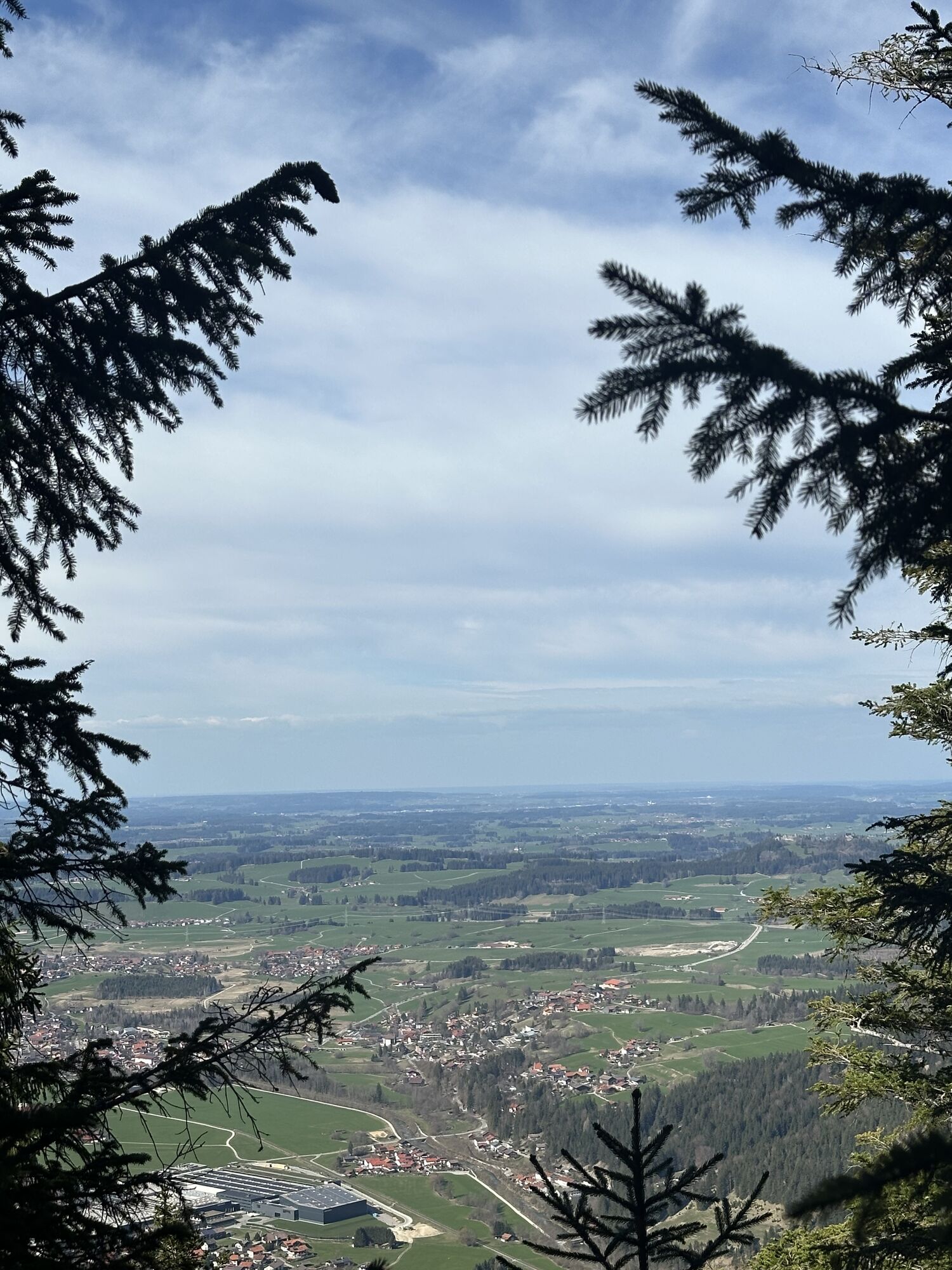
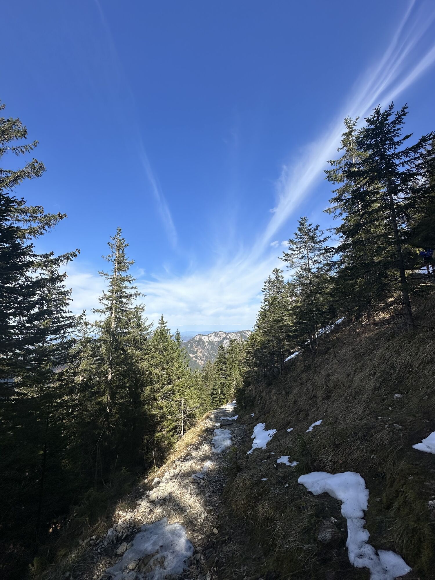
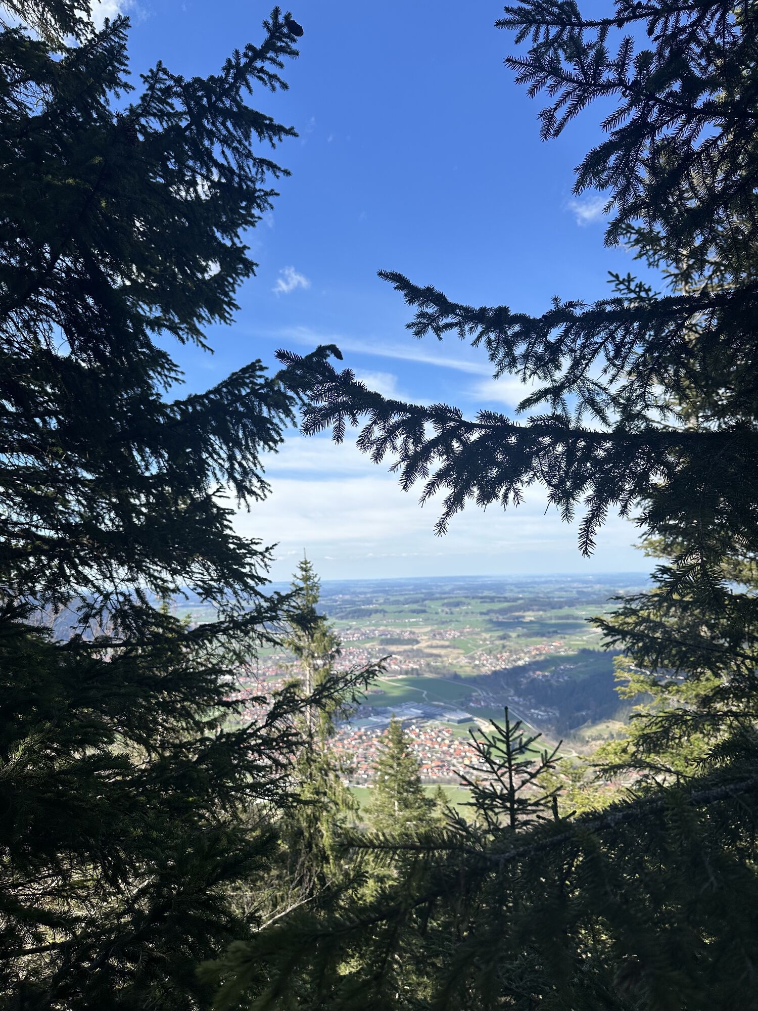
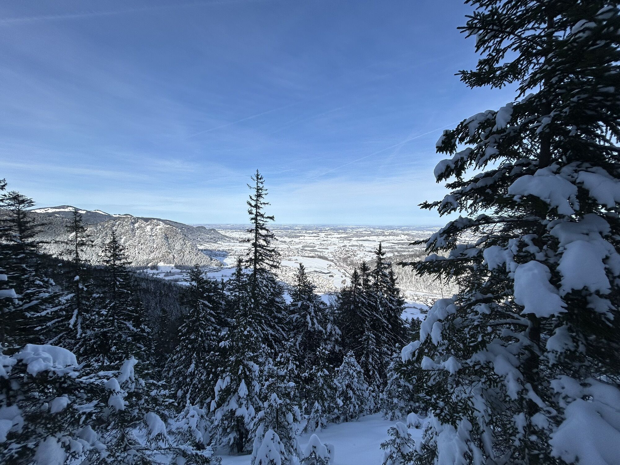
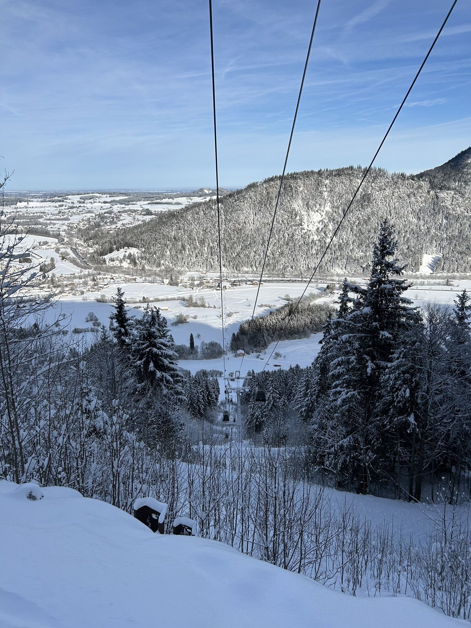
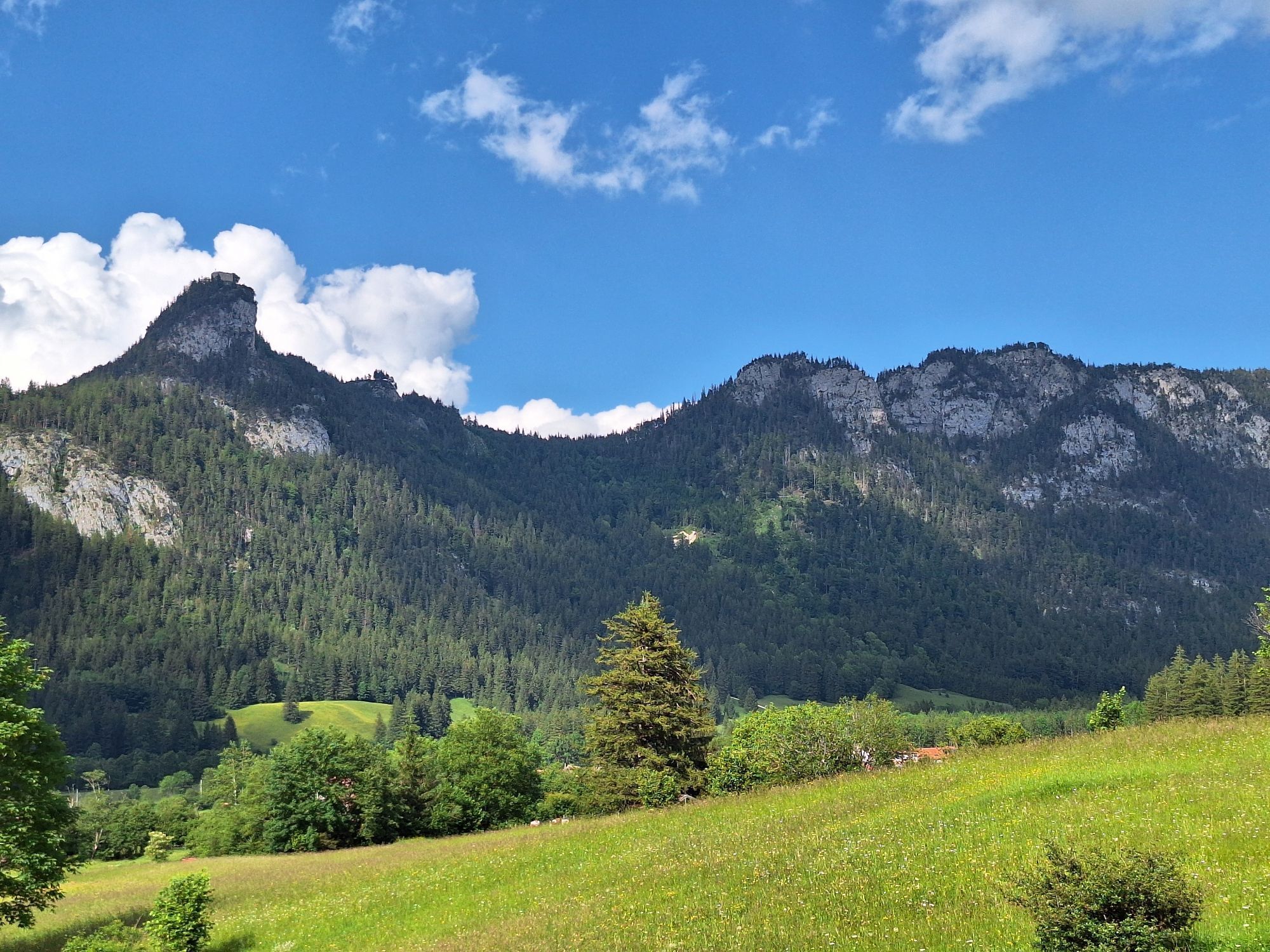
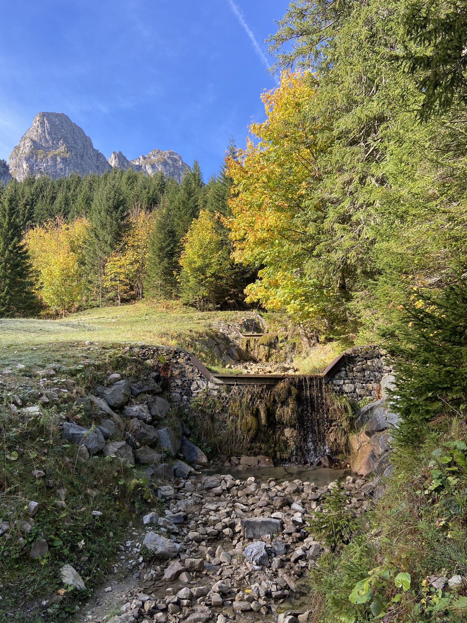
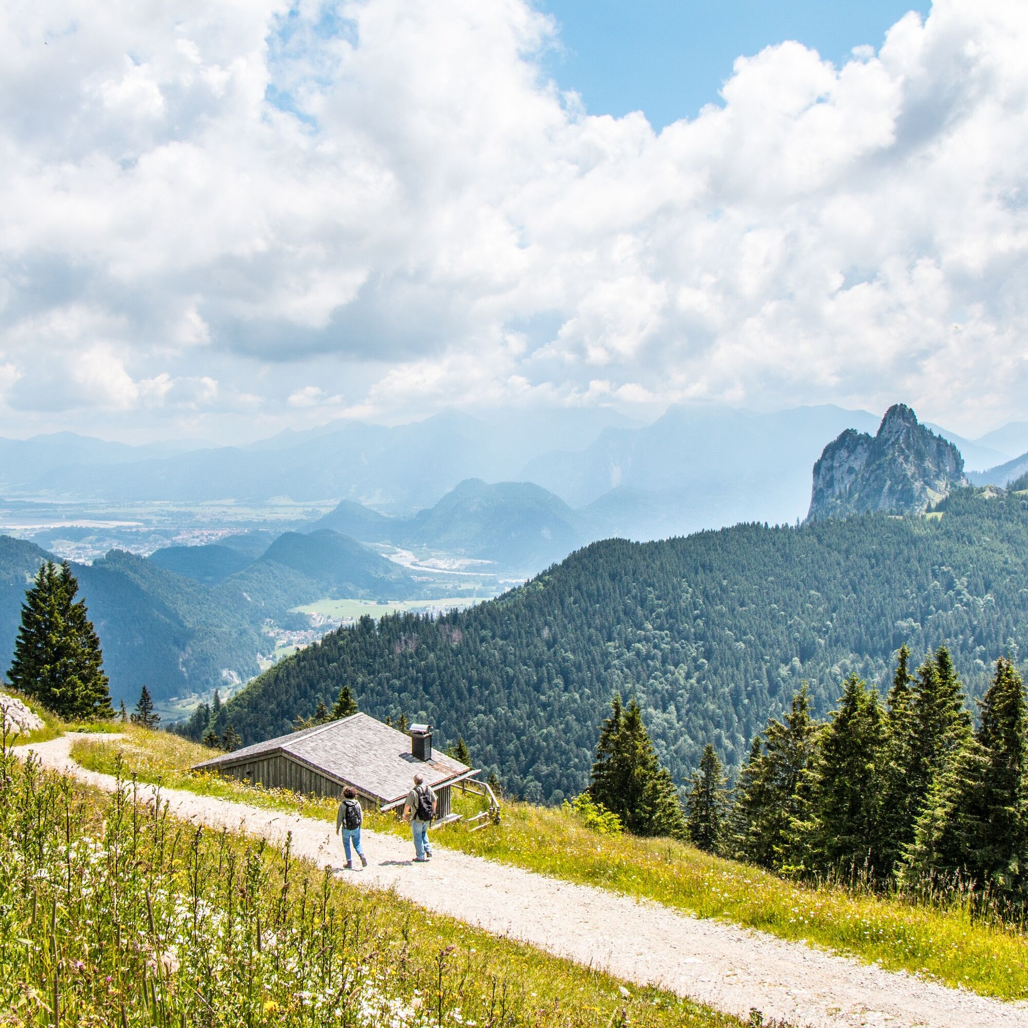
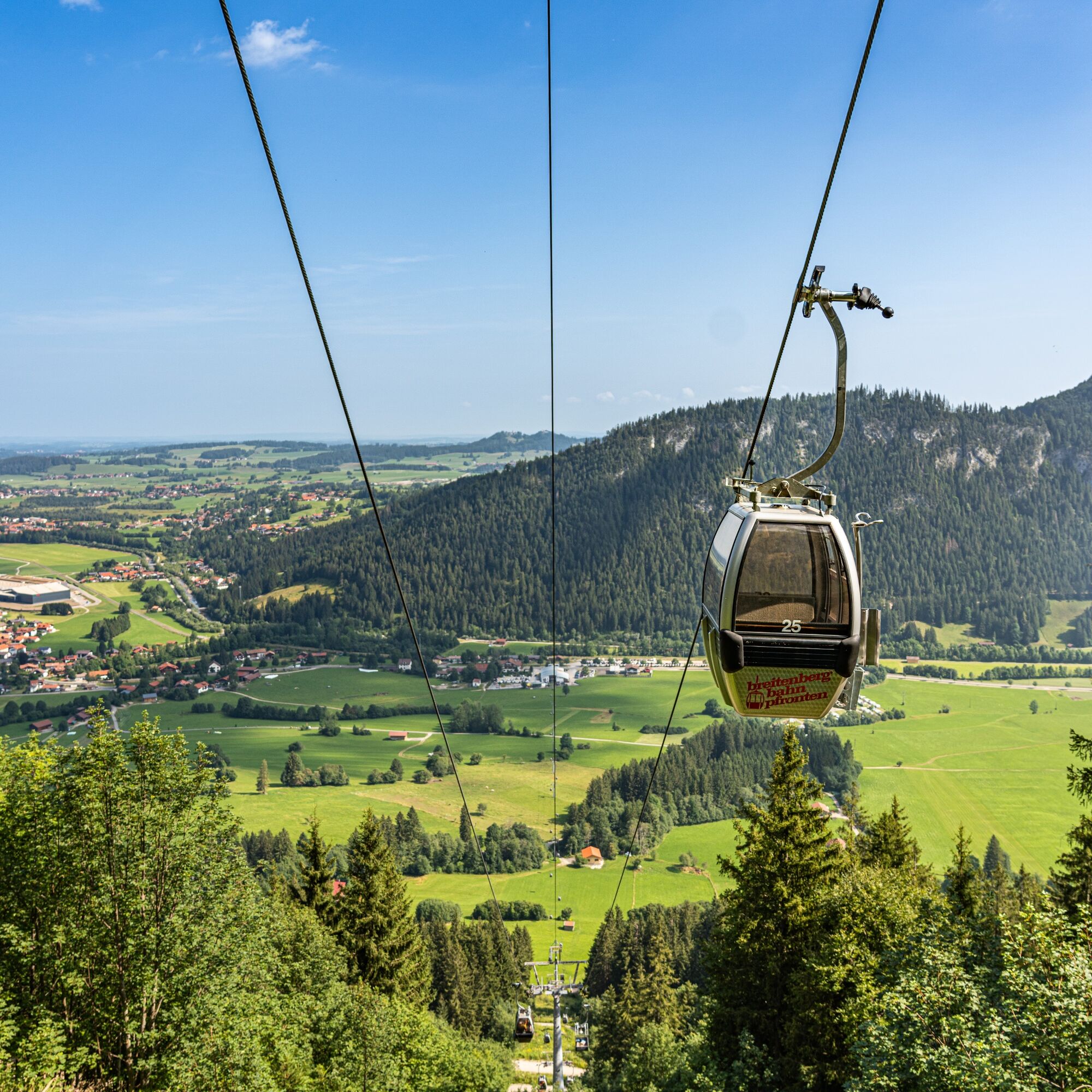
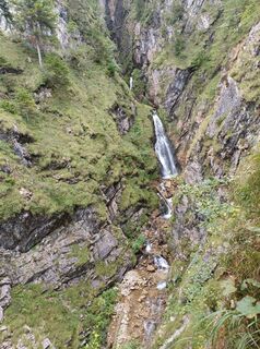
Over a distance of about 10 kilometers, the path leads you from Pfronten-Steinach up to the Hochalpe high plateau. First, you run on scenic trails through the Reichenbachklamm, where you can admire various waterfalls. At the end of the gorge, you reach the plateau on the Breitenberg. Once at the top, you enjoy a fantastic view of the Alpine foothills, the Pfronten valley, and the ridge of the Falkenstein. Optionally, you can take a detour to the Hochalp hut or to the nearby viewing platform. The return route partially follows trails and mainly wider forest roads downhill.


Ano
Ano
Proper planning – distance is not the decisive factor: Challenging terrain can easily increase the time you usually need per kilometer. Therefore, plan generously the time you want to be on the move. If you reach the halfway point, consider turning back if in doubt. If you get more tired on the route than you thought, turn back.
Don't forget water and food: Even on shorter runs, take food and enough water with you. For example, energy bars fit easily into any pocket. Drink continuously in small sips even if you are not thirsty. If you spend unexpectedly longer in the forest or mountains, enough provisions and water make an important difference.
Properly assess your fitness and running technique: If in doubt, start initially on easier terrain and gradually increase to routes through demanding alpine terrain. Small quick steps are best, as they allow you to react faster and keep your balance. Good shoes are important. Trail shoes with a good profile grip better on the terrain and protect your feet from roots or stones. If necessary, get advice from an expert at a trail running specialty store to find the right shoes.
Use the right equipment: Temperatures can vary greatly especially in the mountains, and thunderstorms can come up faster than expected. Even in summer temperatures, warm spare clothing for lower temperatures can be helpful in extreme cases and make unforeseen situations less unpleasant. And you should of course always think of good sun protection.
Better safe than sorry: Inform someone about your planned route and when you should be back. Always take a mobile phone (with a charged battery) and a whistle. If you try a new route, take a close look at the course as well as the elevation and technical difficulty of the route beforehand.
T2
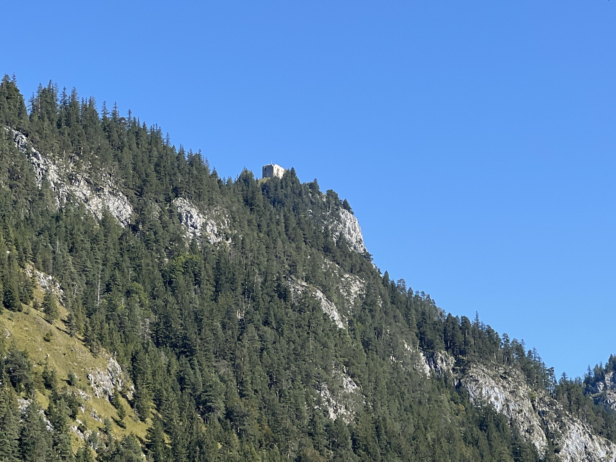
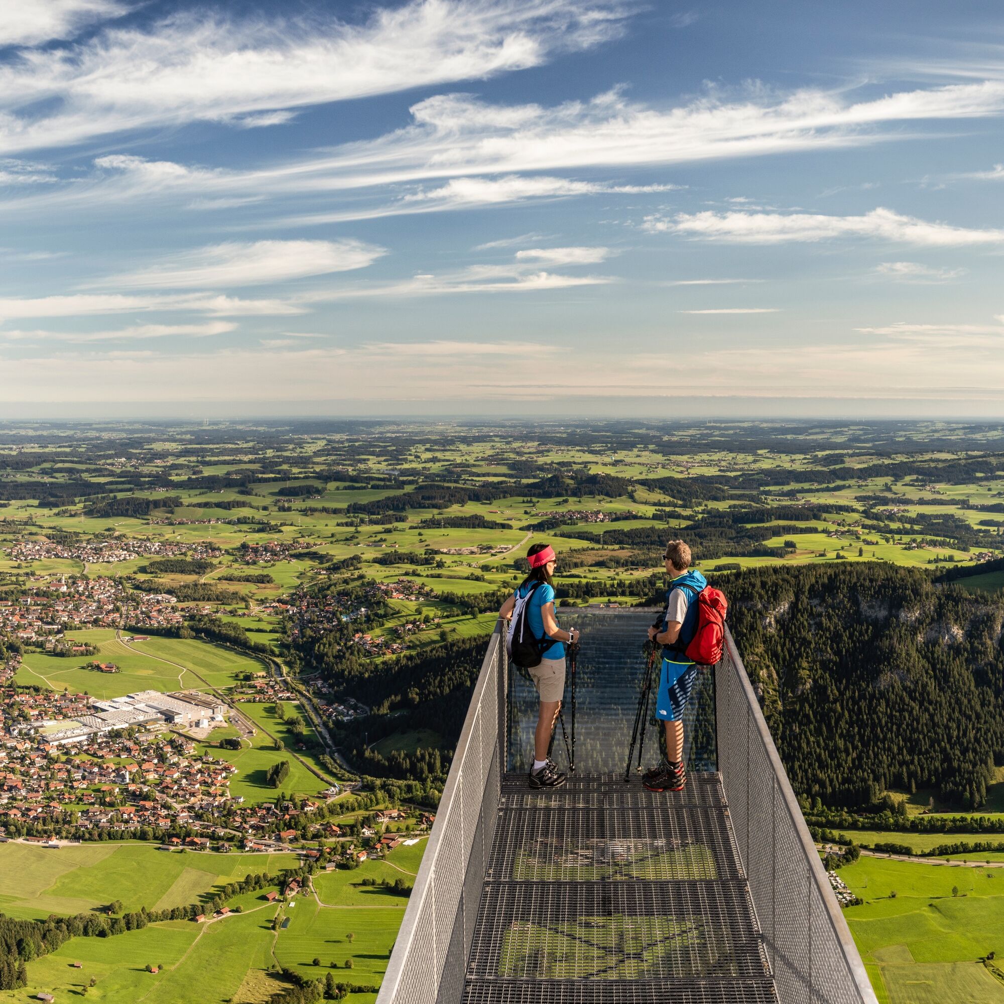
Take a short detour to the viewing platform above the mountain station of the Breitenberg cable car. The platform extends several meters over the cliff edge and offers a great view of the Alpine foothills – for those not afraid of heights ;)
Webové kamery z prohlídky
Skizentrum Steinach / Pfronten
Breitenberg Bergstation
Kesselmoos und Hochalpbahn
Pfronten-Halden / Hotel Zugspitzblick
Pfronten - Boutique Hotel Blaue Burg Falkenstein
Pfronten - Ostlerhütte
Grän - Hotel Bergblick
Füssener Jöchle Bergstation
Füssen Appartementhotel Seespitz
Breitenbergbahn - Pfronten
Pfronten - Skizentrum
Aktivity na trase

Pfronten, Bayern/Deutschland
03.04.2026 – Turistika
Pfronten, Bayern/Deutschland
31.12.2025 – Turistika
Pfronten, Bayern/Deutschland
27.12.2025 – Zimní turistika
Pfronten, Bayern/Deutschland
08.09.2025 – Horská turistikaPfronten, Bayern/Deutschland
31.08.2025 – Turistika
Pfronten, Bayern/Deutschland
19.08.2025 – Turistika
Pfronten, Bayern/Deutschland
18.08.2025 – Turistika
Oblíbené prohlídky v okolí
- 4,8
Around Weißensee
světloTuristika 6,12 km - 5,0
Hiking tour to Breitenberg
heavyTuristika 15,6 km - 4,7
Yellow Wall Trail, Tegelberg (A)
středníVia ferrata 3,65 km - 5,0
Gemeinde Grän, Tirol/Österreich Aggenstein Rundtour über Höhenweg
středníTuristika 9,84 km - 4,9
Tegelberg | Branderschrofen | Neuschwanstein
středníTuristika 14,8 km - 4,4
Höllschlucht hike » Water & Forest
středníTuristika 7,38 km - 4,8
Tannheim / Vilsalpsee / Landsberger Hütte
středníTuristika 15,7 km - 4,3
Tříjezerní túra (oceněná Pečetí kvality Tyrolské horské stezky)
středníTuristika 14,8 km - 4,8
3-Gipfel-Tour
středníTuristika 11,2 km - 4,8
Iseler und Kühgundkopf
středníTuristika 7,63 km
Pěší turistika a stopování


Nenechte si ujít nabídky a inspiraci pro vaši příští dovolenou
Vaše e-mailová adresa byl přidán do poštovního seznamu.