


Over Prodel and Denneberg
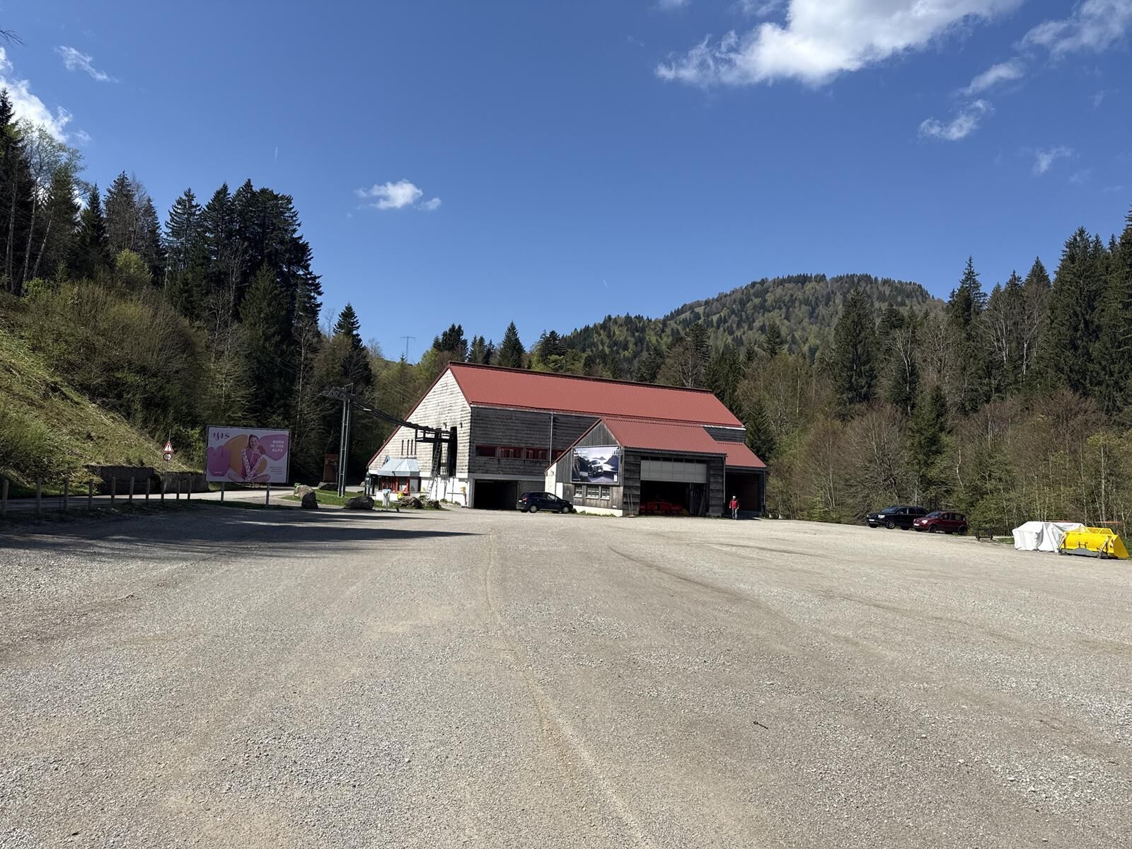
At the Hochgratbahn car park, cross the Weißach via the bridge and follow the hiking trail downstream.
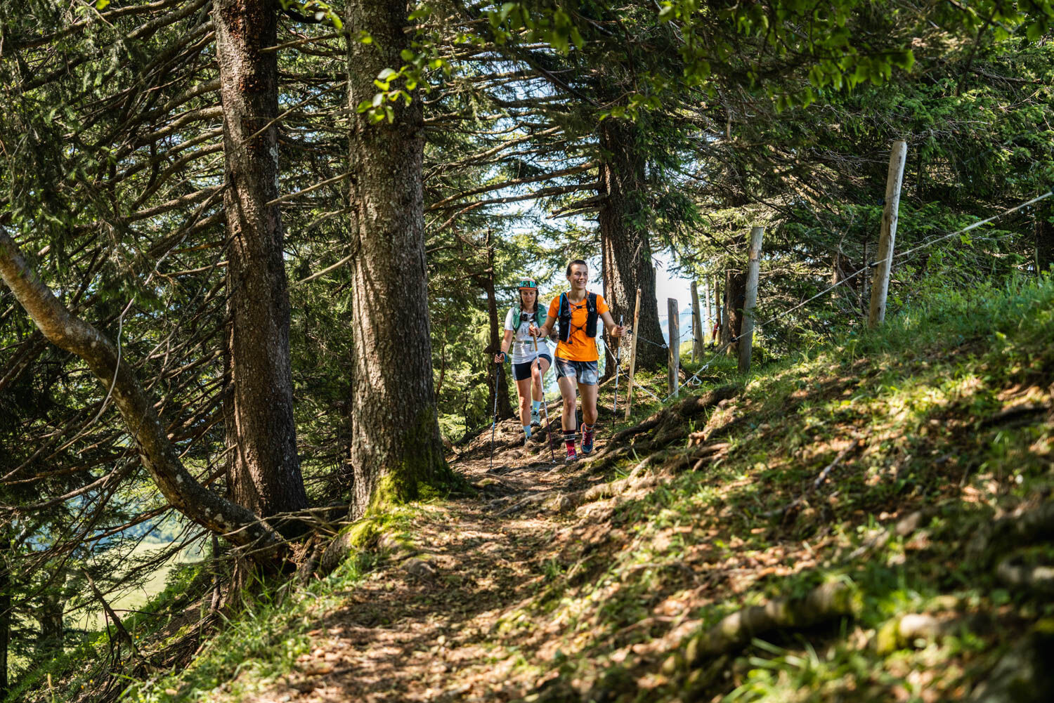
At the next junction, turn right and ascend on a forest path via switchbacks to the Prodel Alp. From...
At the Hochgratbahn car park, cross the Weißach via the bridge and follow the hiking trail downstream.
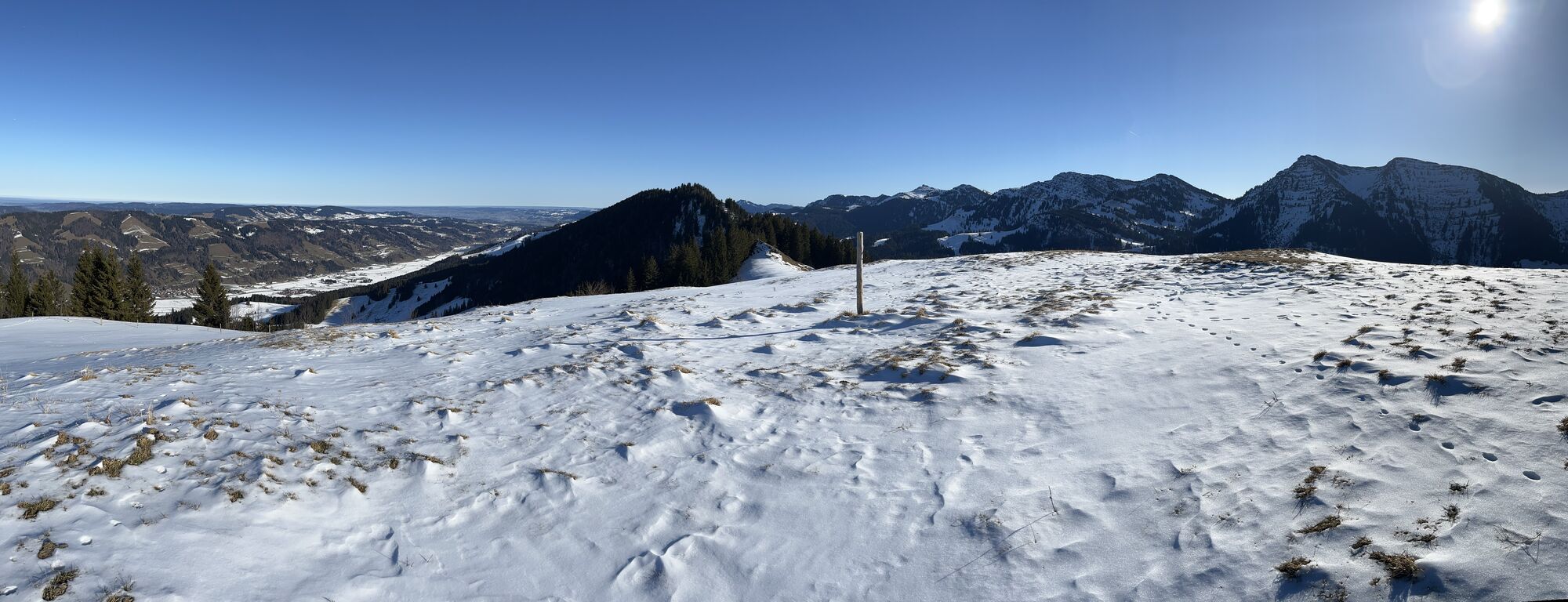
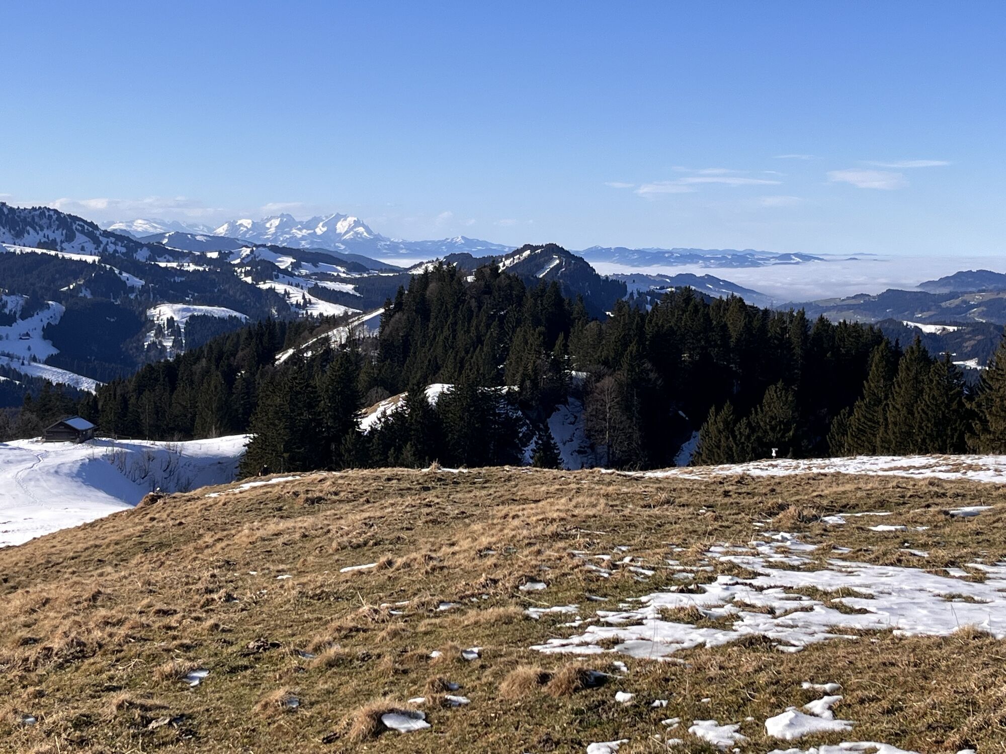
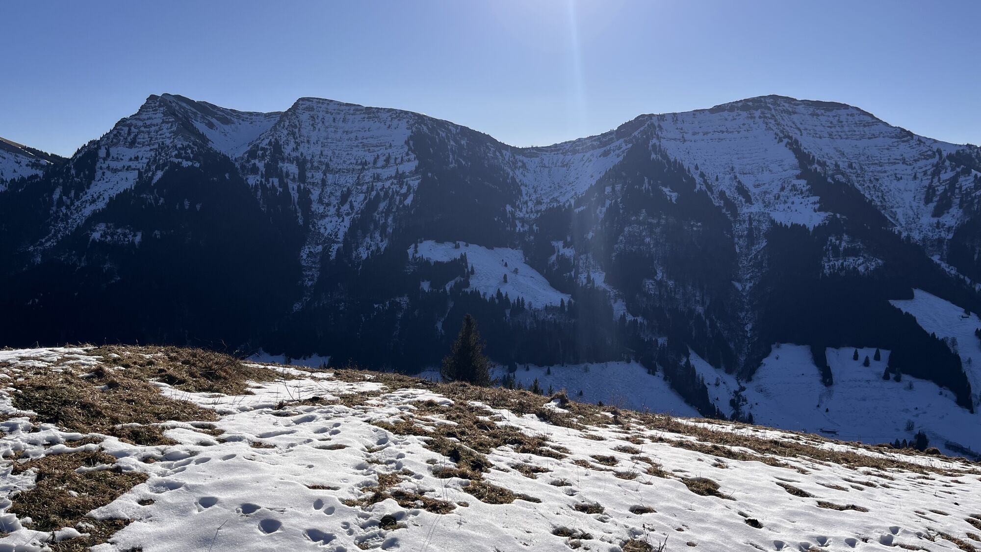
At the next junction, turn right and ascend on a forest path via switchbacks to the Prodel Alp. From here, you enjoy great views of the opposite Nagelfluh chain, with a distant view of the Swiss Säntis massif behind you. From there, continue steadily along the ridge and the hillside on a beautiful trail eastward over the Prodel summit to the highest point of Denneberg at 1,427 meters elevation.
At the next junction, keep right and run downhill on the forest road via the Obere Klamm, Laubgund, and Unterdenneberg Alps.
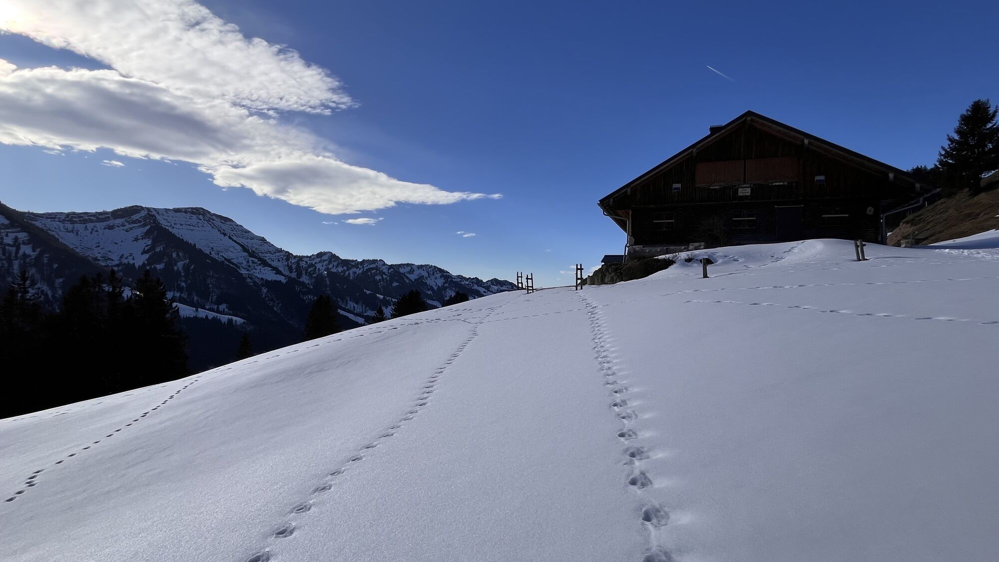
Arriving at the edge of the forest, turn right and go slightly hilly through the winter wildlife protection area (closed from mid-November to mid-May) with feeding stations, passing the Holzschlag and Untere Schwarzenberg Alps.
The last kilometer leads downhill once again. On the forest road, you descend quickly over the last kilometers to the Weißach and shortly thereafter to the starting point at the Hochgratbahn.

Webové kamery z prohlídky
Hochgratbahn Bergstation
Oberstaufen
Oberstaufen - Biohotel Schratt
Oberstaufen - Biohotel Schratt
Fluhexpress Berg
Fluhexpress Berg
Alpe Hohenschwand
Oberstaufen
Oberstaufen
Oberstaufen
Oberstaufen
Oberstaufen
Oberstaufen
Fluhexpress Bergstation
Hündlebahn Bergstation
Imberghaus
Oberstaufen
Oberstaufen - Hörmoos
Alpsee Bergwelt
Alpsee Bergwelt
Alpsee Bergwelt - Bärenfalle

Oblíbené prohlídky v okolí
- 4,5
Hittisau | Wasserwanderweg
světloTematická stezka 7 km - 4,5
Steibis - Buchenegger Waterfalls
středníTuristika 6,47 km - 4,5
Rindalphorn und Hochgrat
středníTuristika 15,6 km - 5,0
Siedelalpe Runde von See - Immenstadt
světloTuristika 10,3 km - 3,8
Hörner Panoramatour
středníTuristika 17,3 km - 5,0
HörnerPanoramaTour
světloTuristika 5,34 km - 5,0
Nagelfluh ridge route Hochgrat - Mittag
heavyTuristika 14,0 km - 3,5
Rundtour Mittag
světloTuristika 15,7 km - 4,3
Circular route Steibis to Dreiländerblick
středníTuristika 7,95 km - 5,0
Circular route Hochgrat - Falkenhütte
heavyTuristika 14,2 km
Pěší turistika a stopování


Nenechte si ujít nabídky a inspiraci pro vaši příští dovolenou
Vaše e-mailová adresa byl přidán do poštovního seznamu.