






Ski tour over the Nagelfluhkette

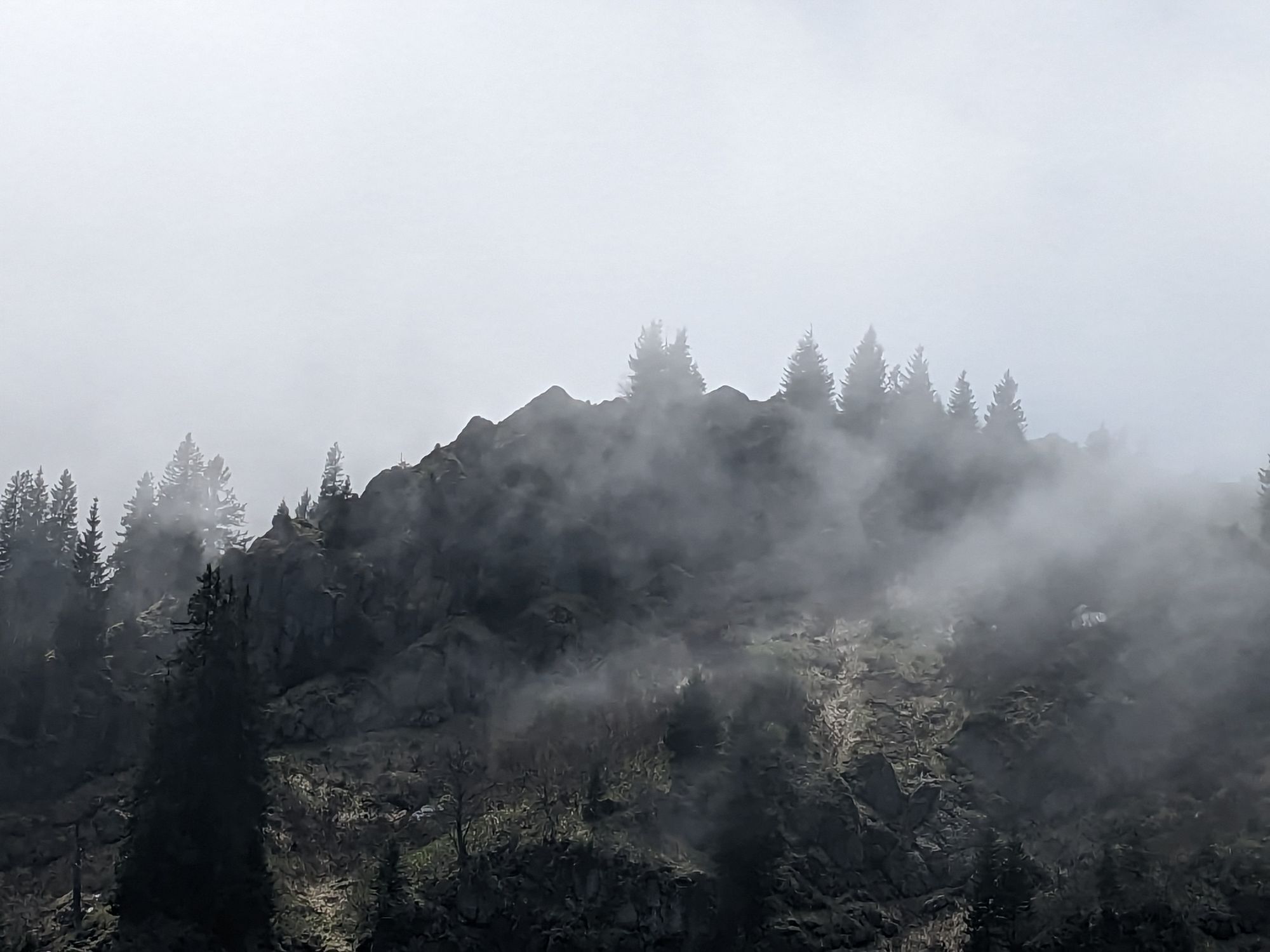
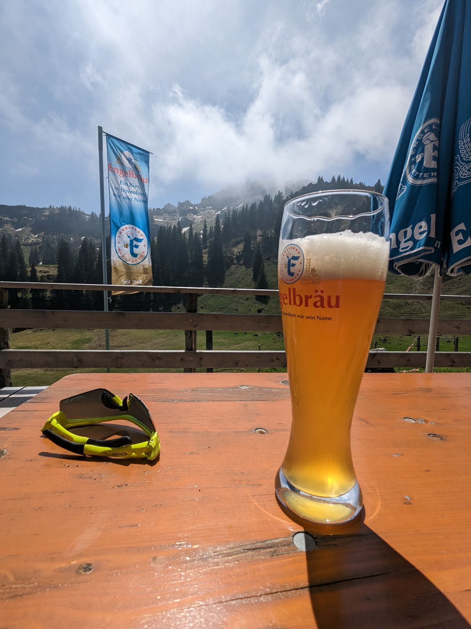
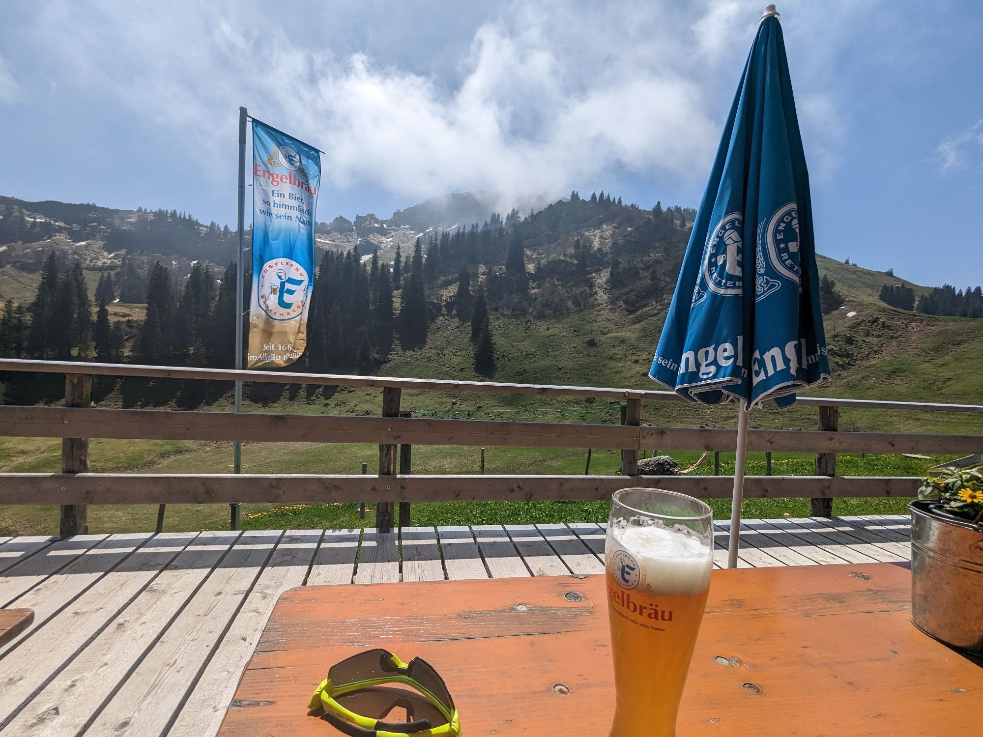
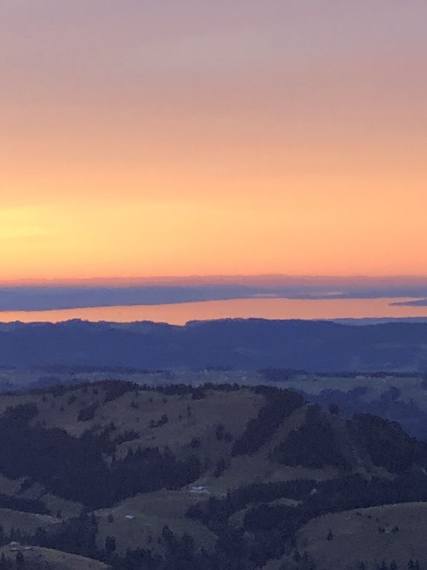
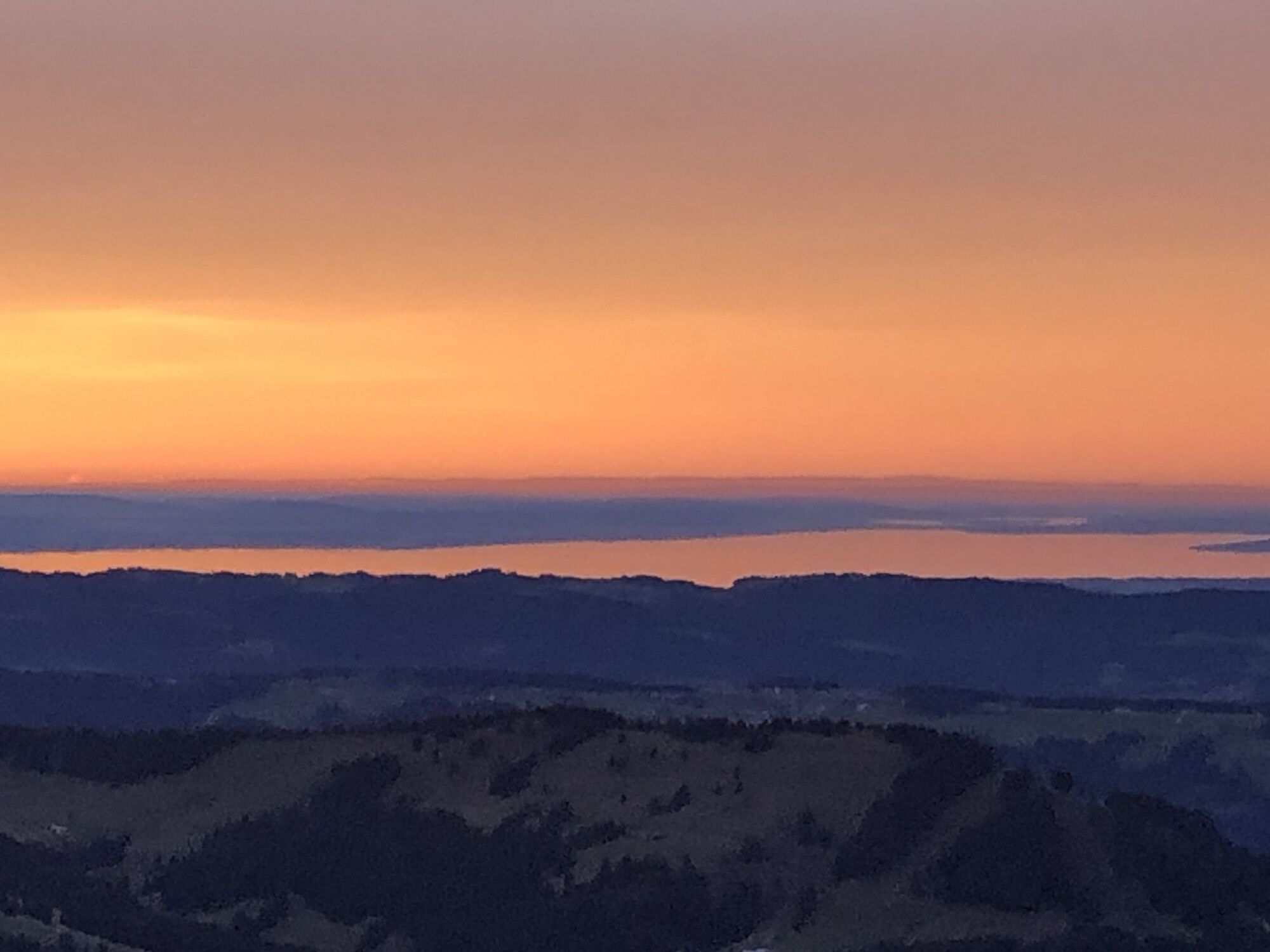
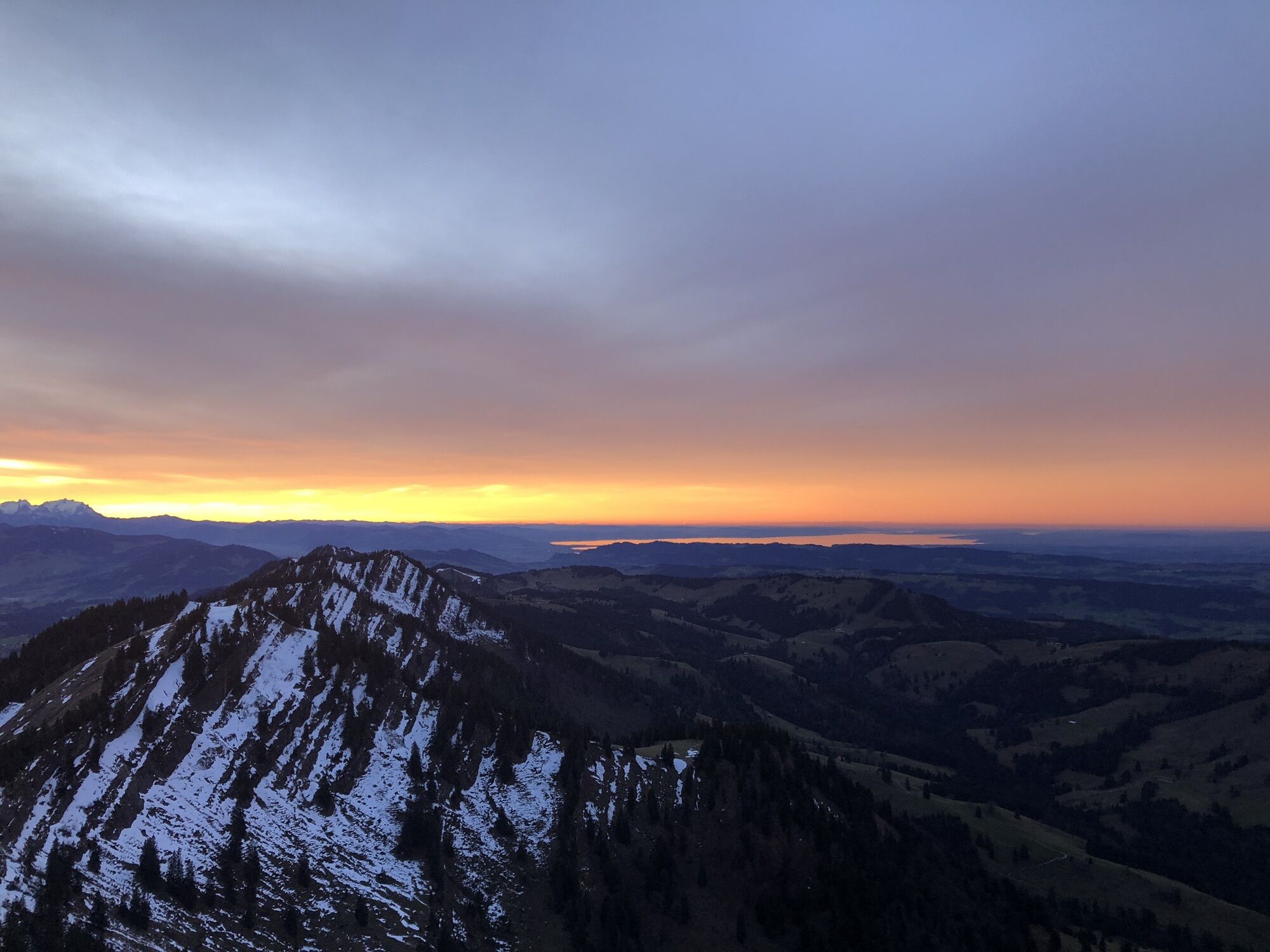
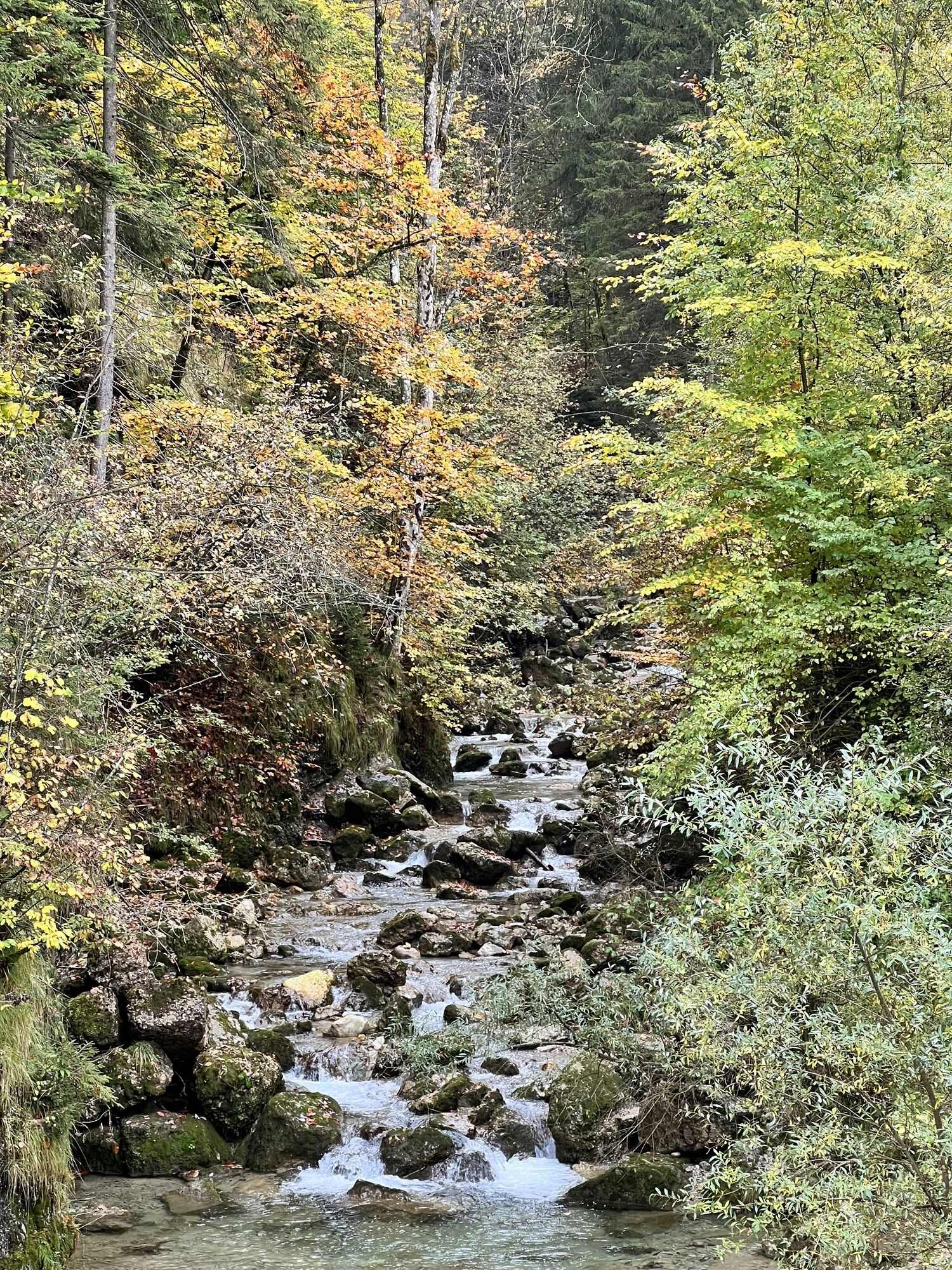

One of the most beautiful ski tours in the Allgäu with several ascents and descents. The special mountain formation of the Nagelfluhkette offers different variants on nearly every descent. A worthwhile...
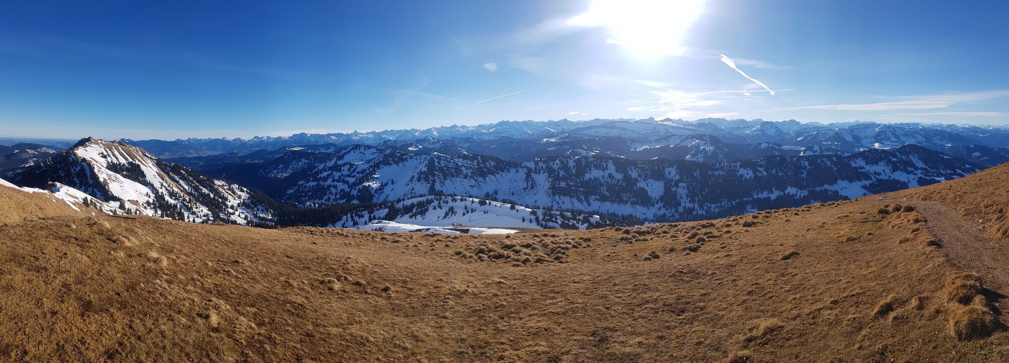
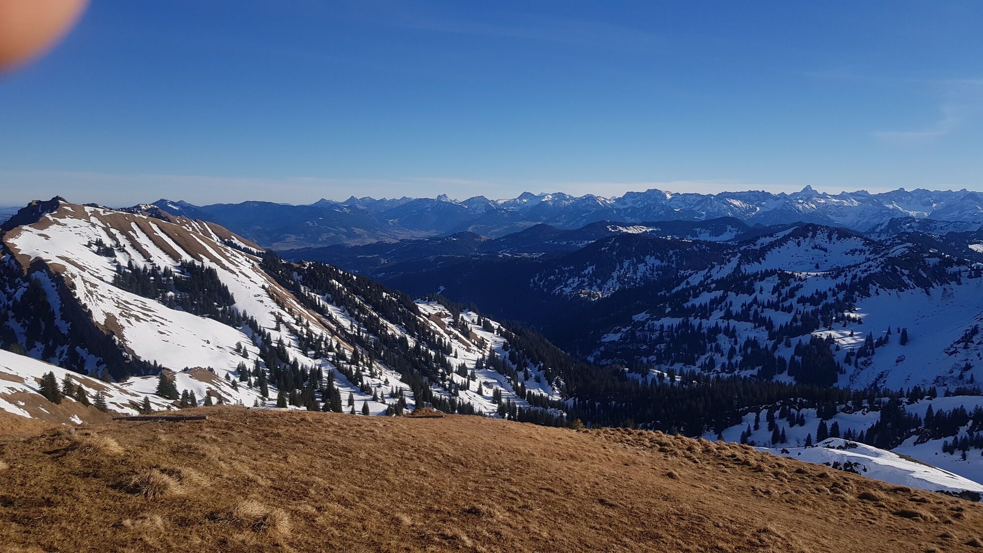
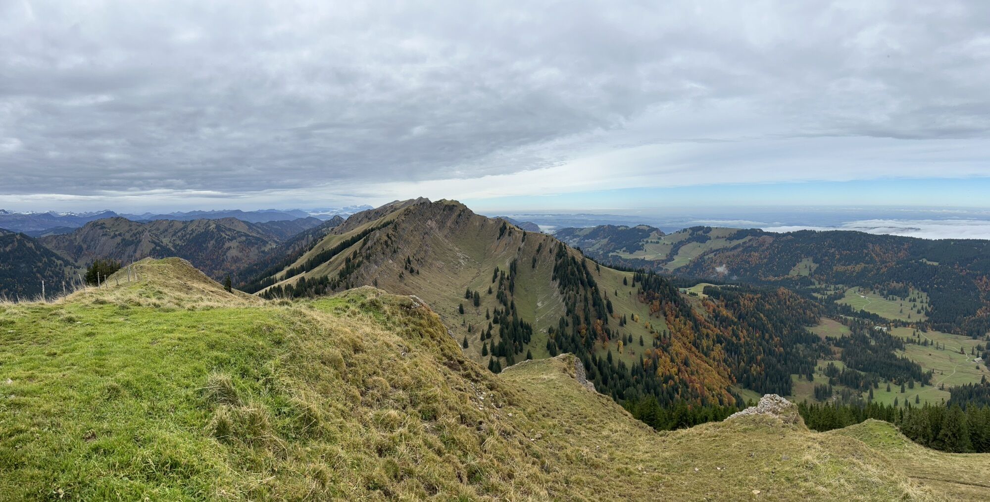
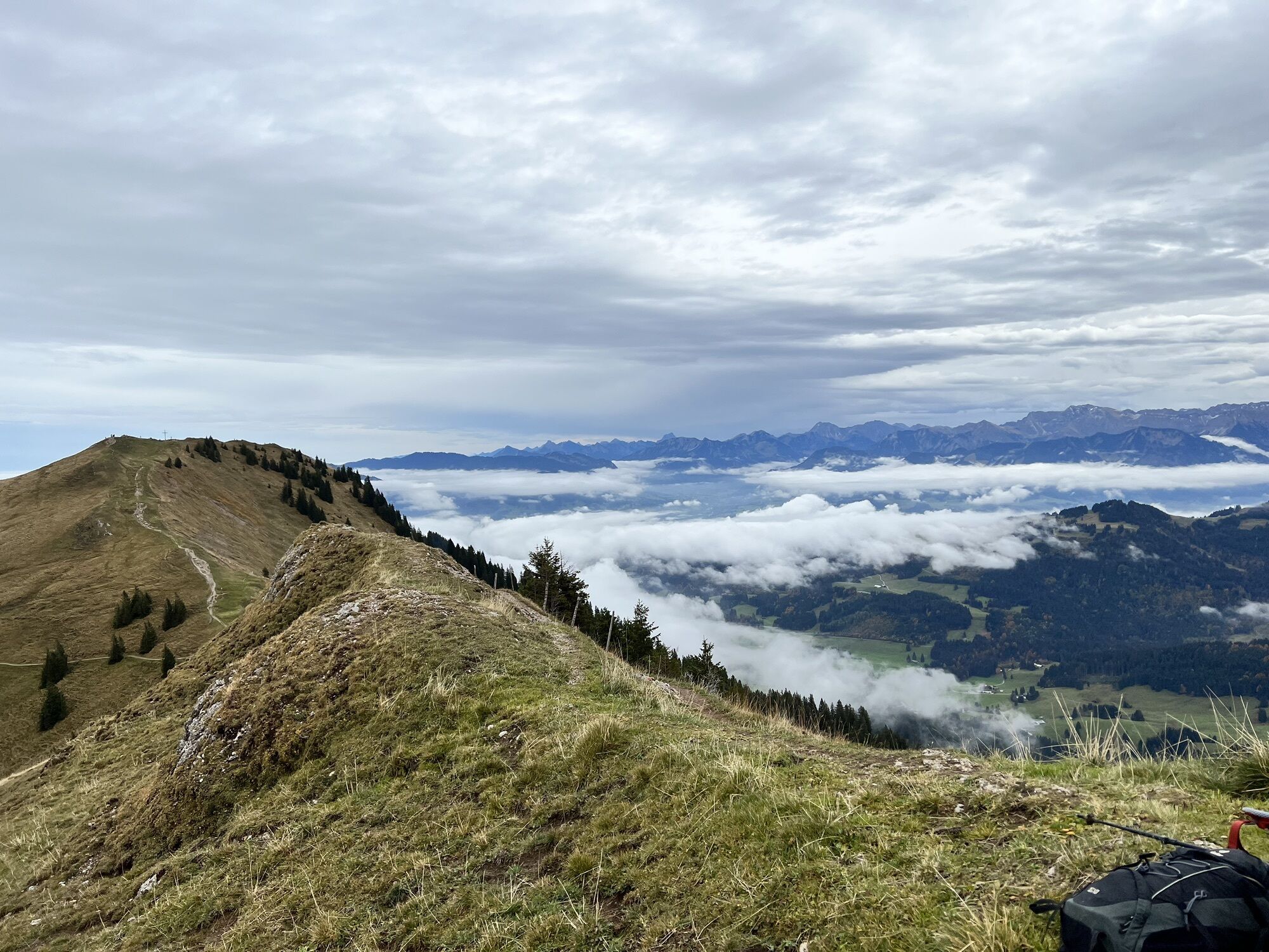
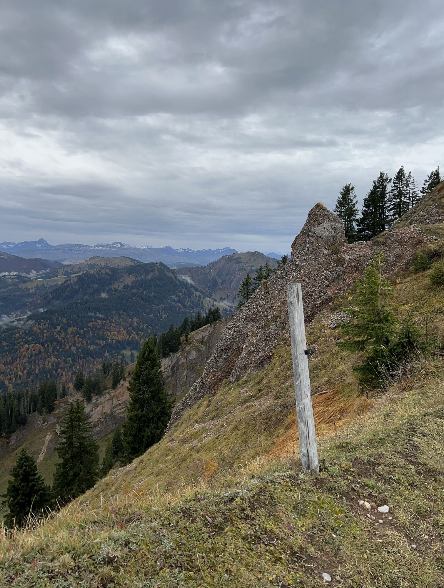
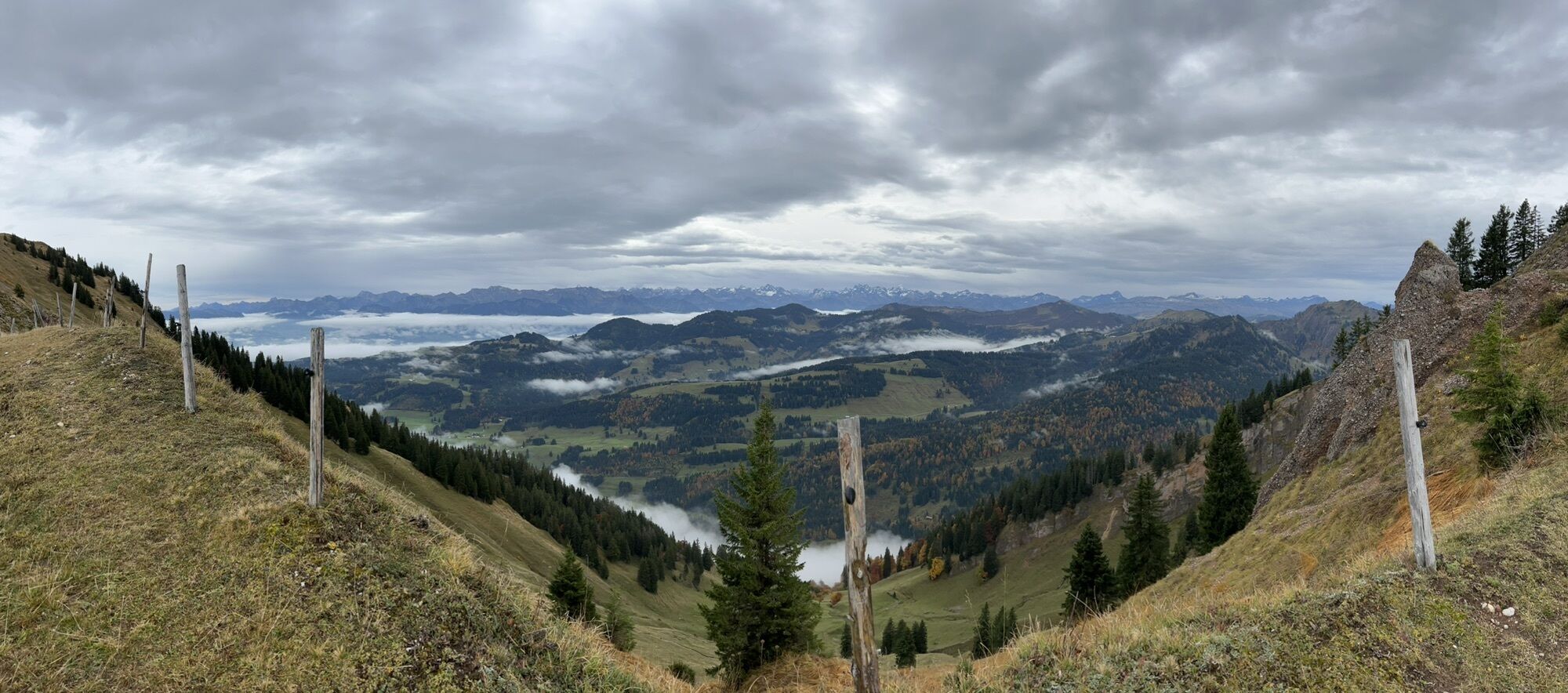
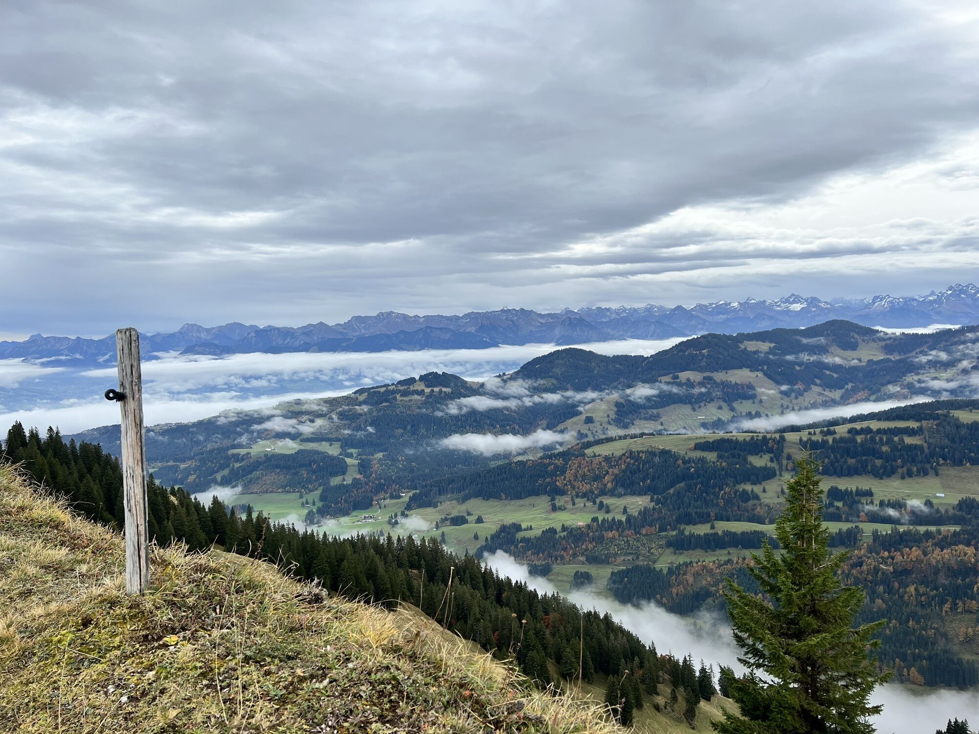
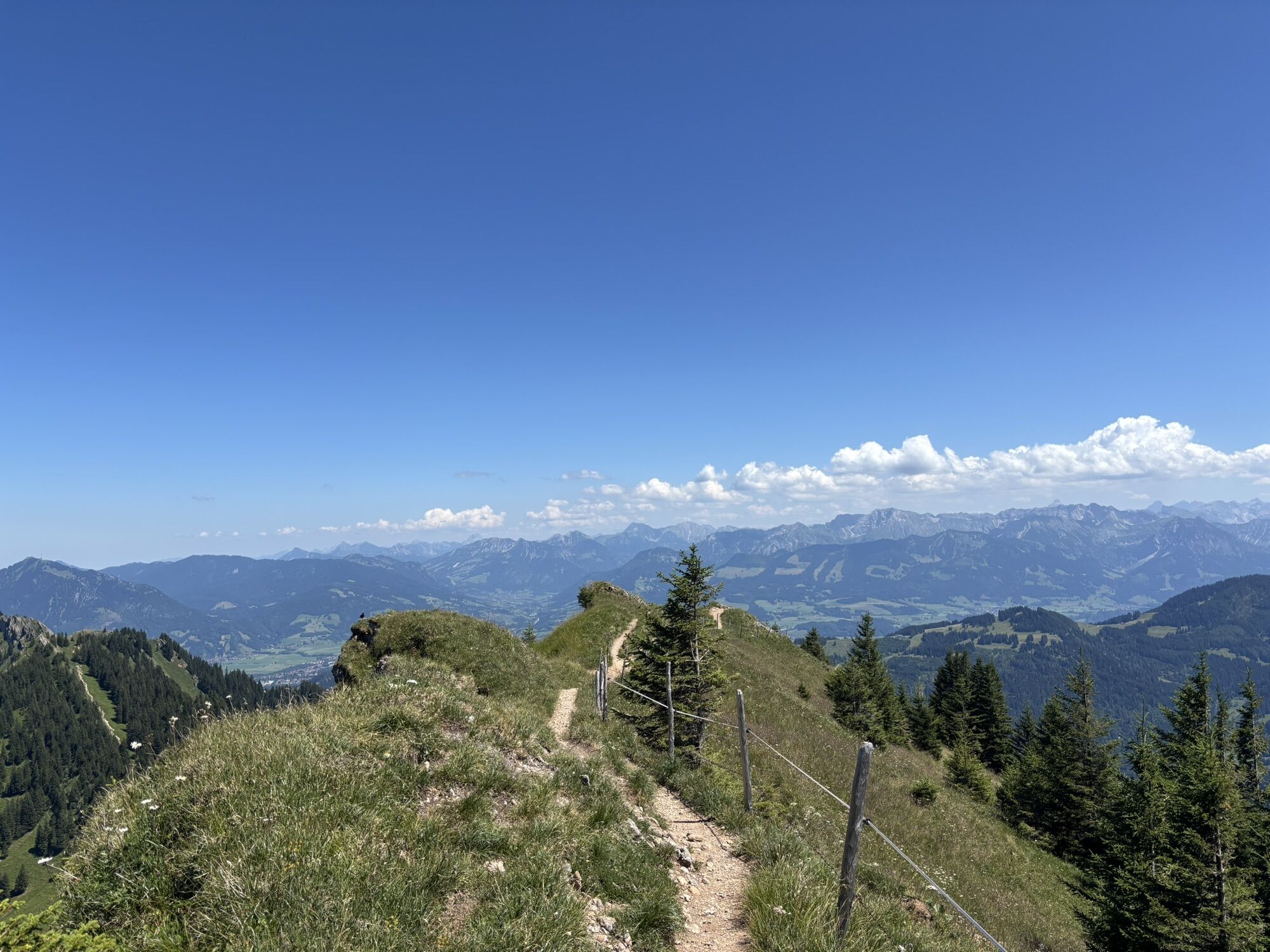
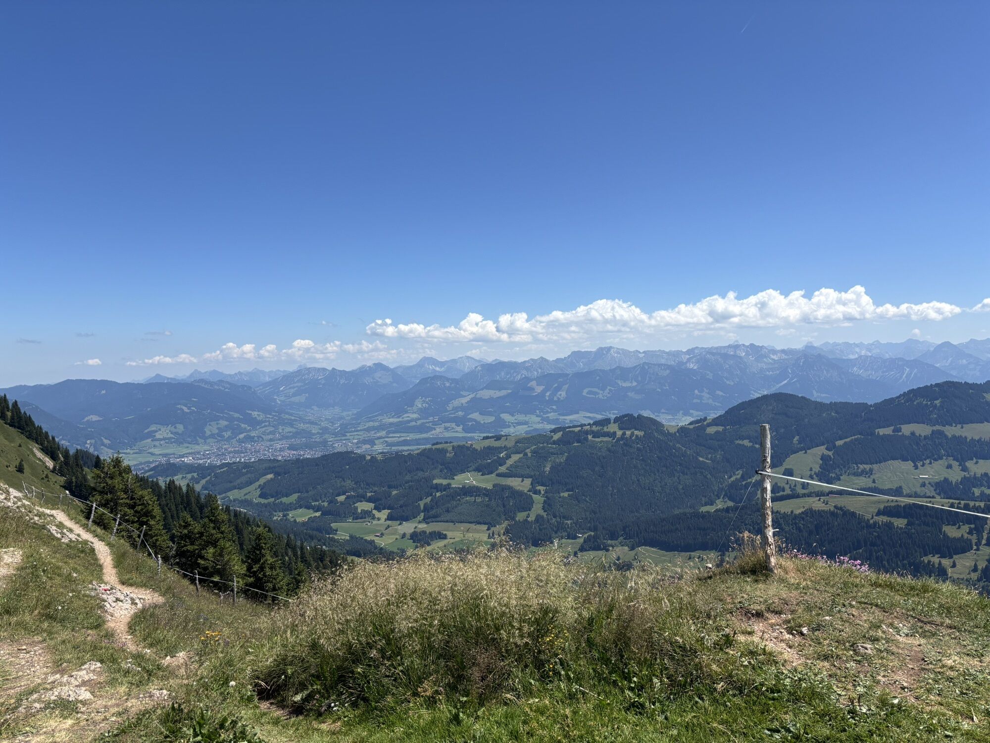
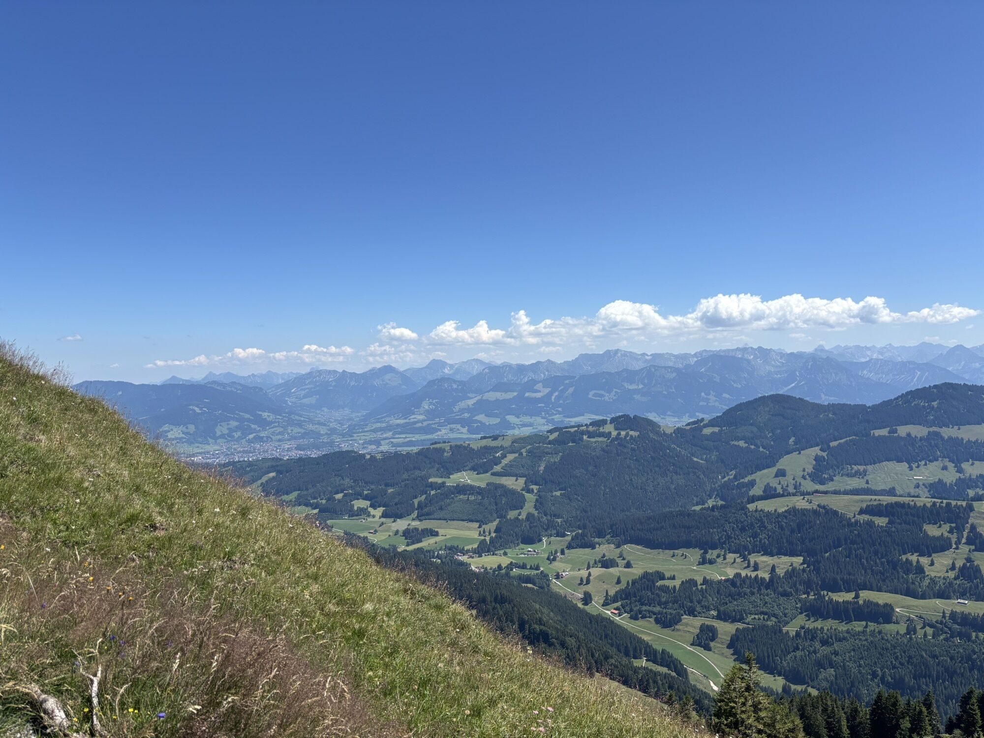
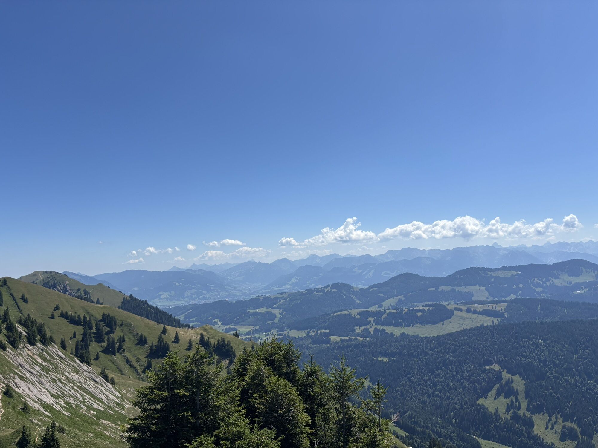
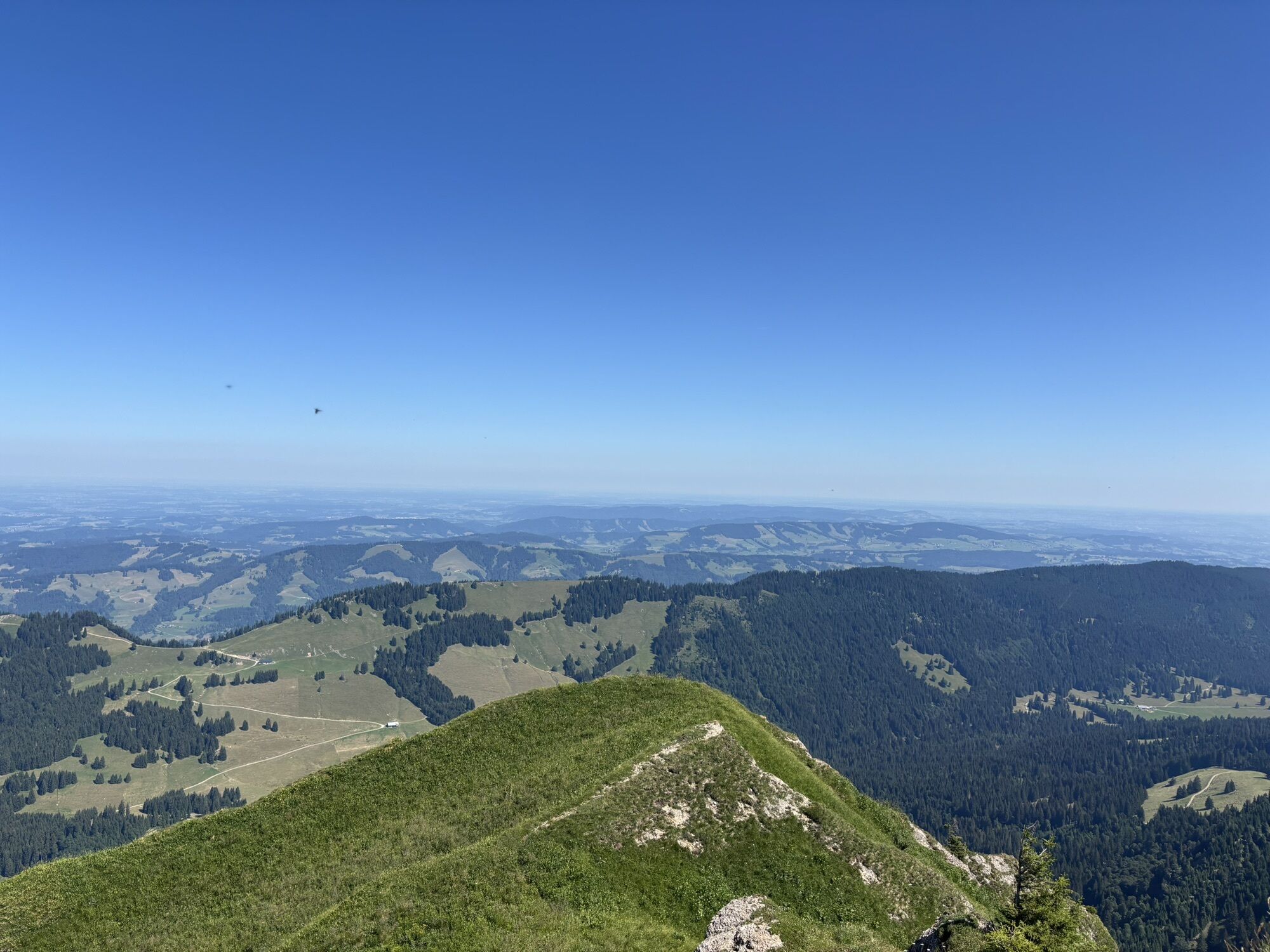
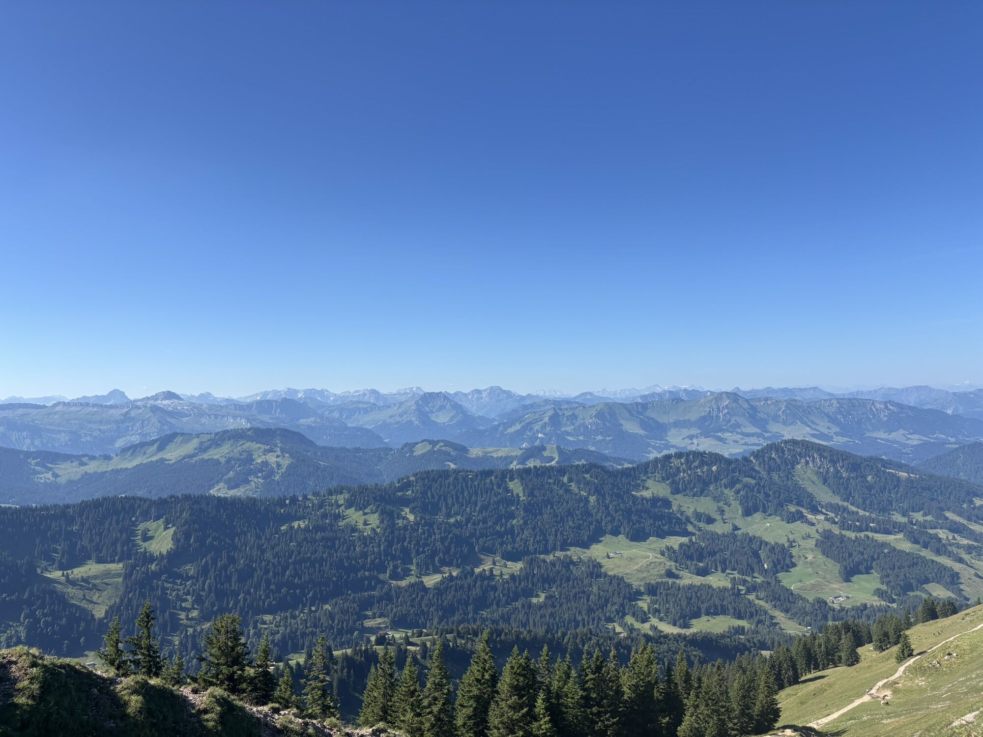
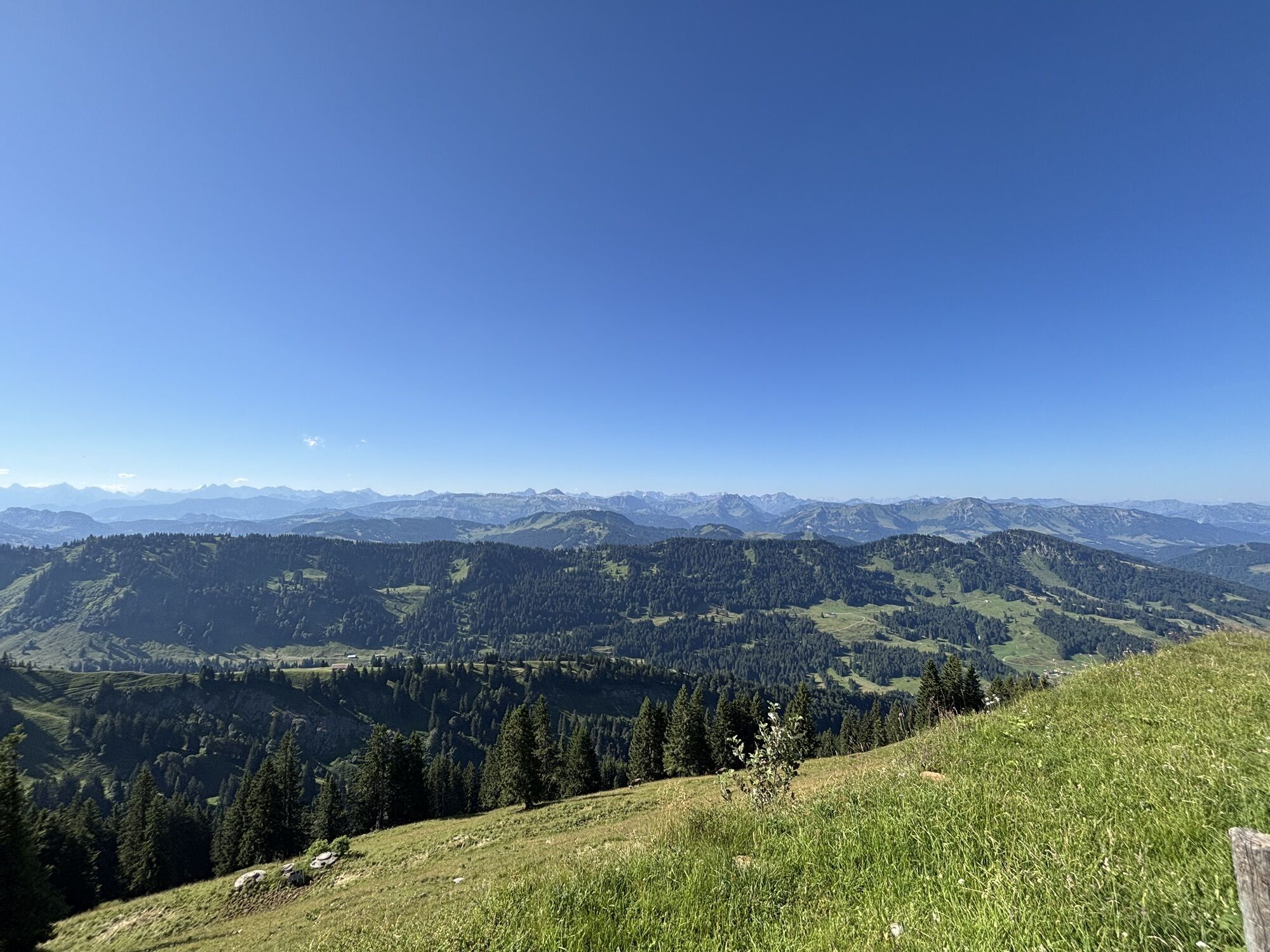
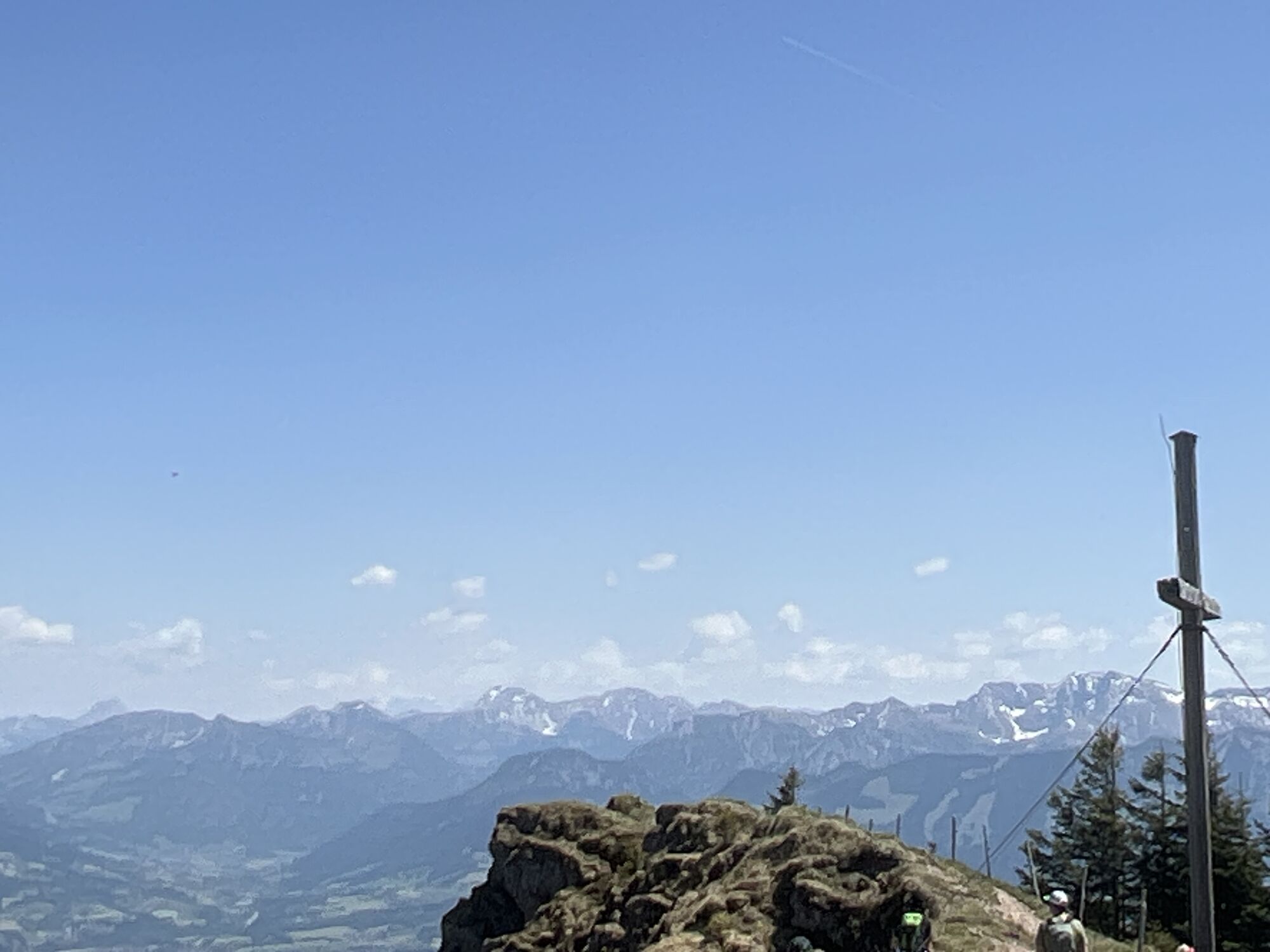
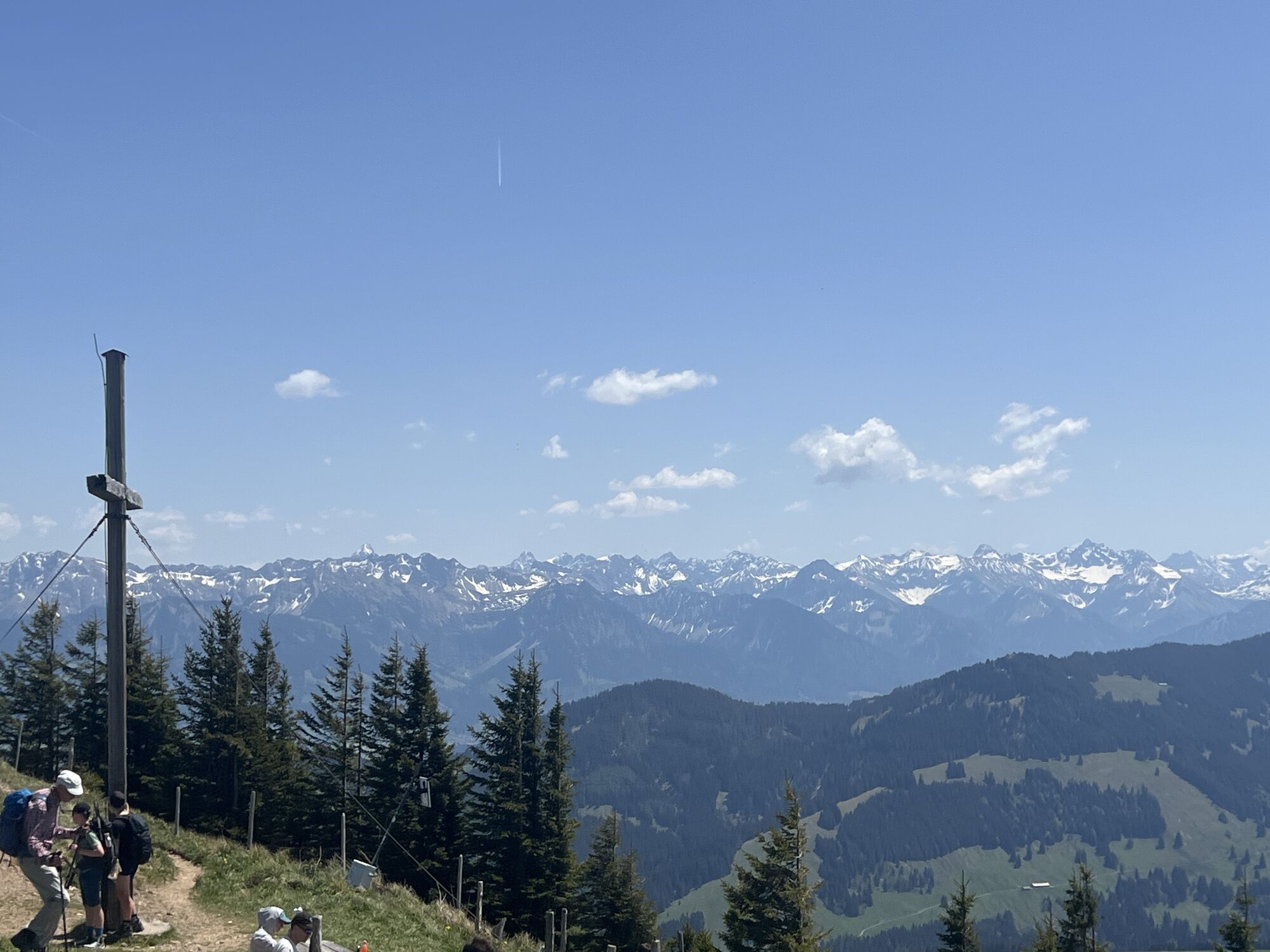
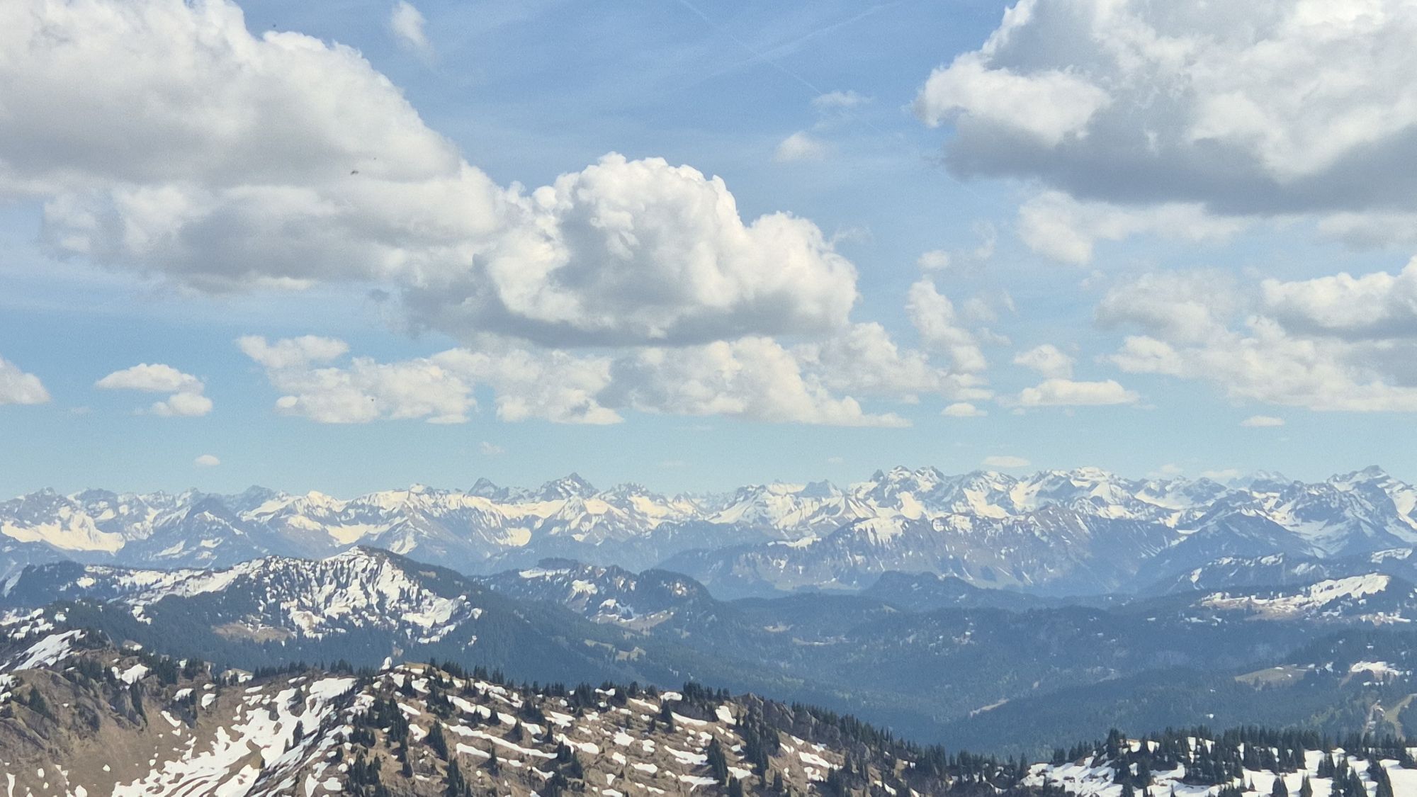
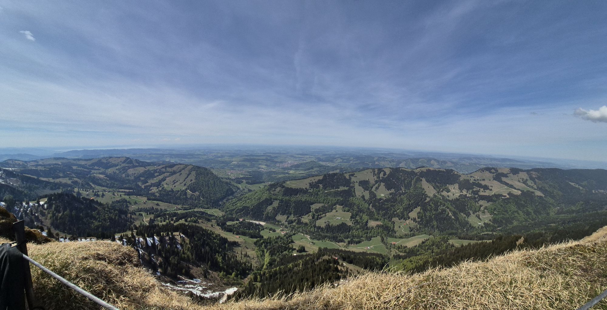
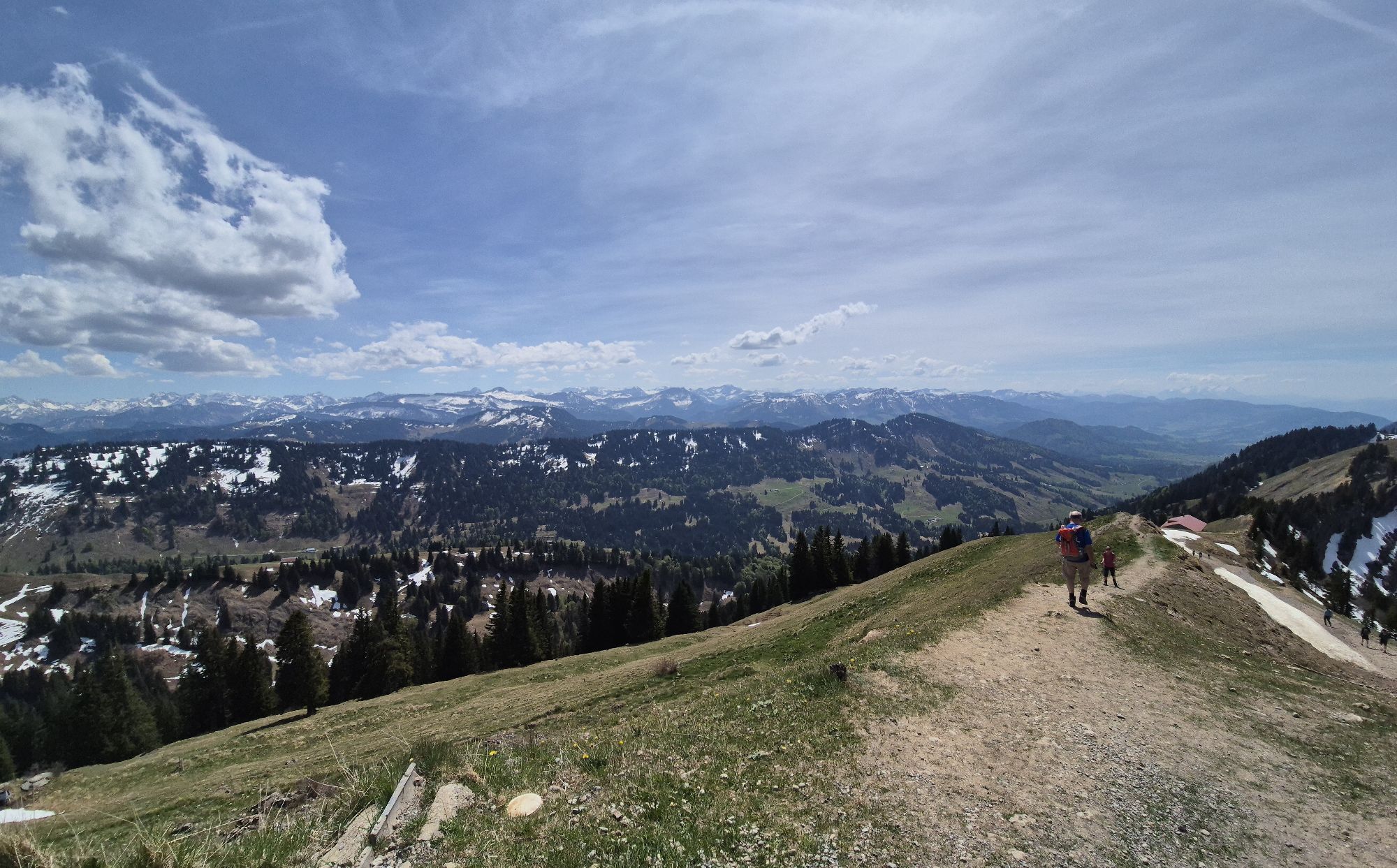
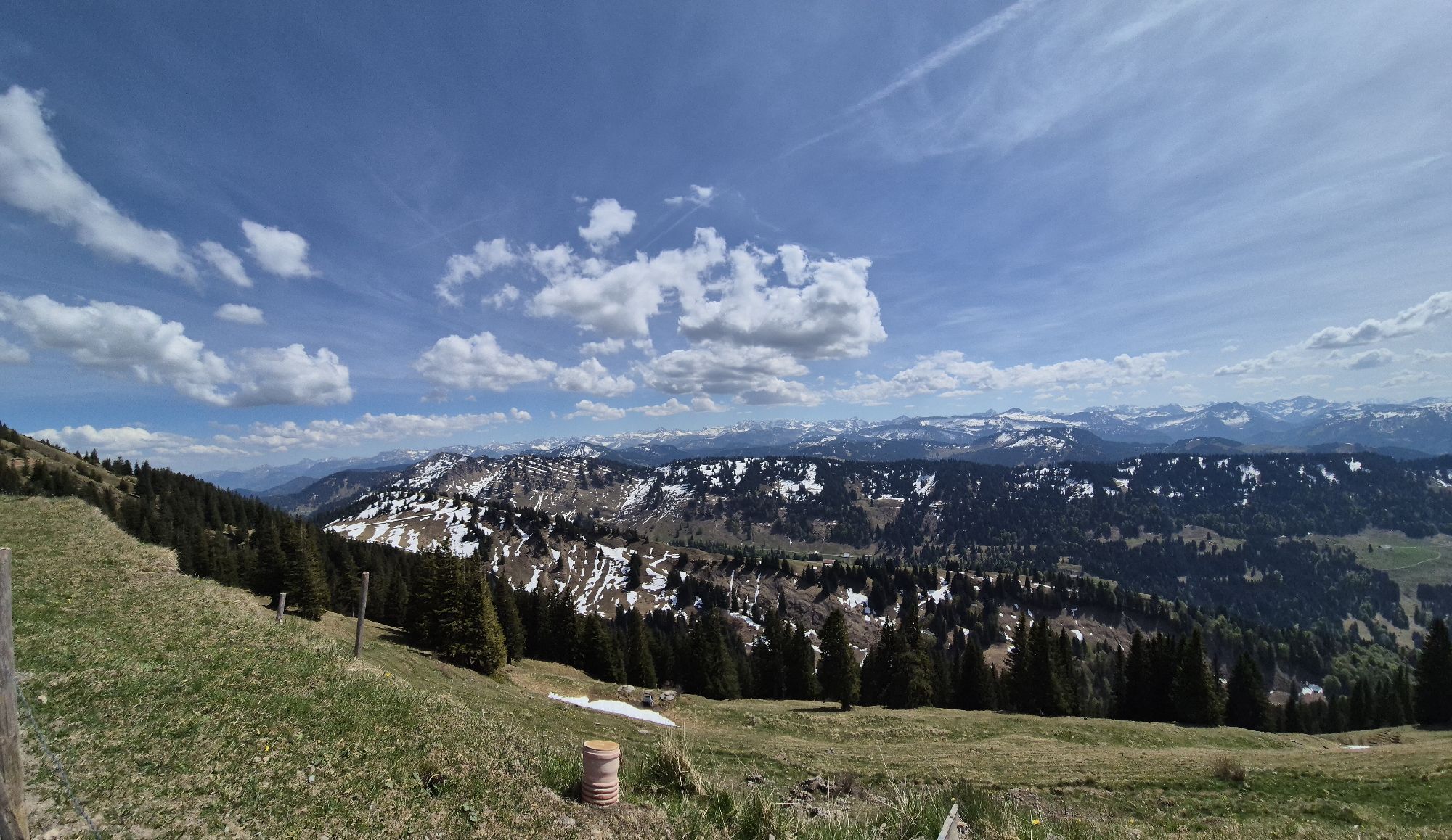
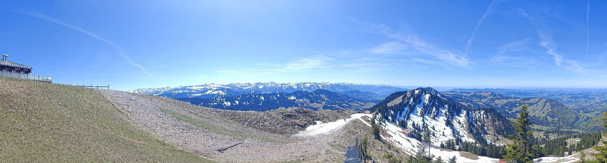
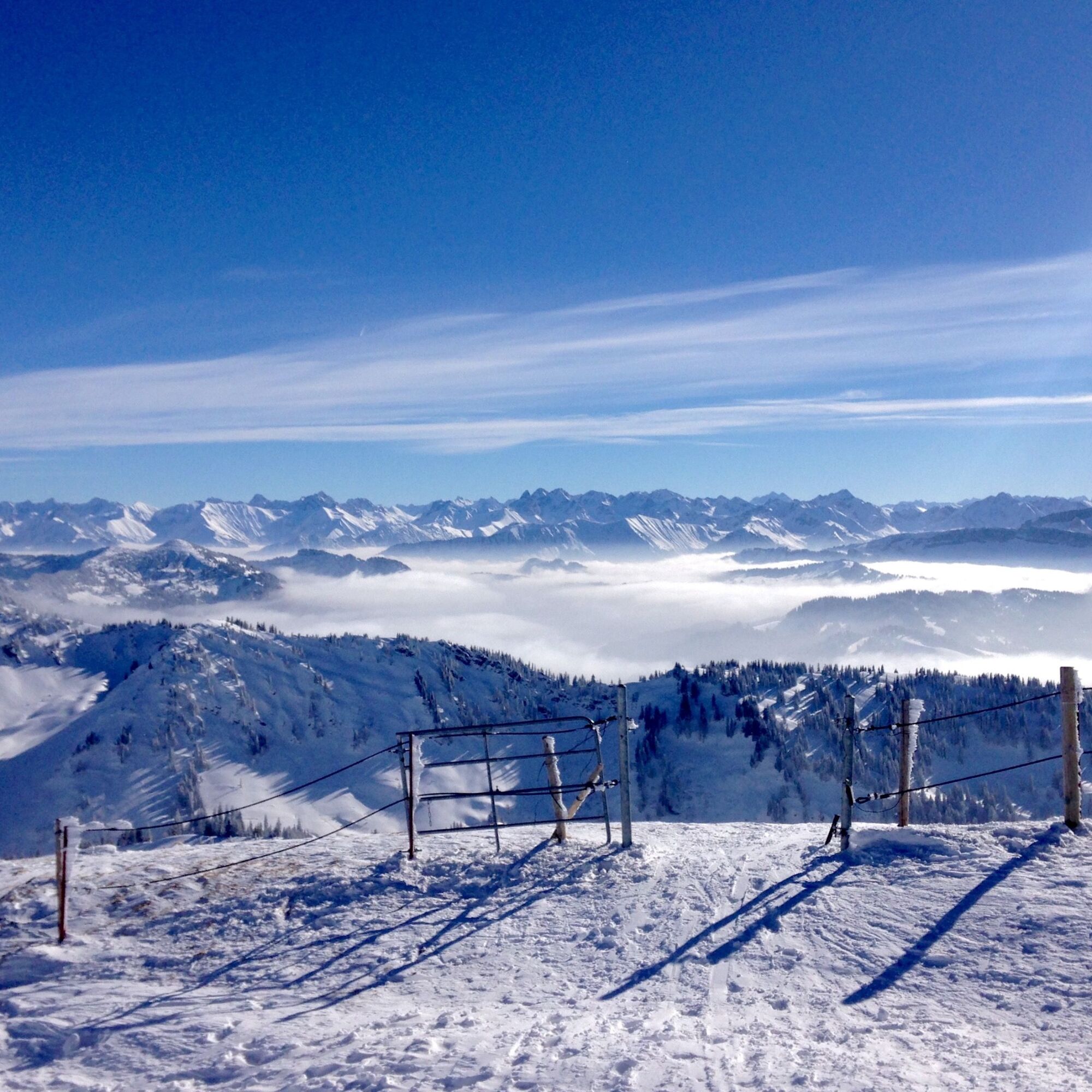
One of the most beautiful ski tours in the Allgäu with several ascents and descents. The special mountain formation of the Nagelfluhkette offers different variants on nearly every descent. A worthwhile skiing experience not only in winter with powder snow but also as a spring firn tour. The panoramic views extend from the Swiss peaks Altmann and Säntis in the west over Lake Constance and far into the Alpine foothills. In the southwest, the Vorarlberg mountains dominate, adjoining the highest Allgäu peaks, and further east, the Zugspitze towers behind the Thannheimer mountains. Dining options exist only at the mountain station of the Hochgratbahn and towards the end of the tour at the Alpen Gund and Mittelberg below the Stuiben.


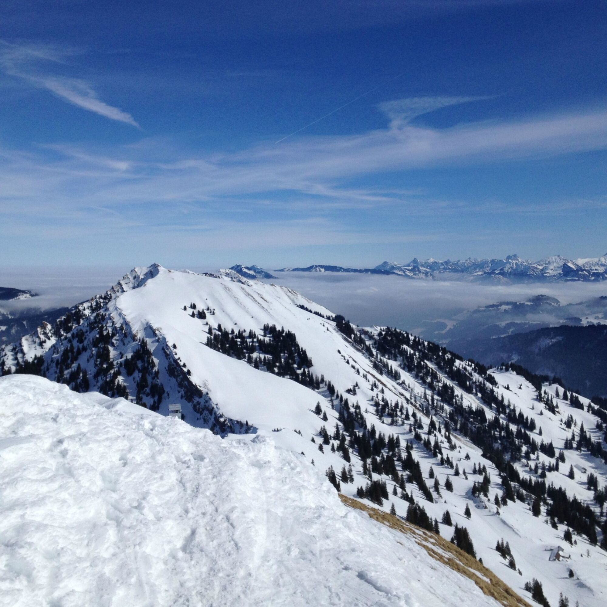
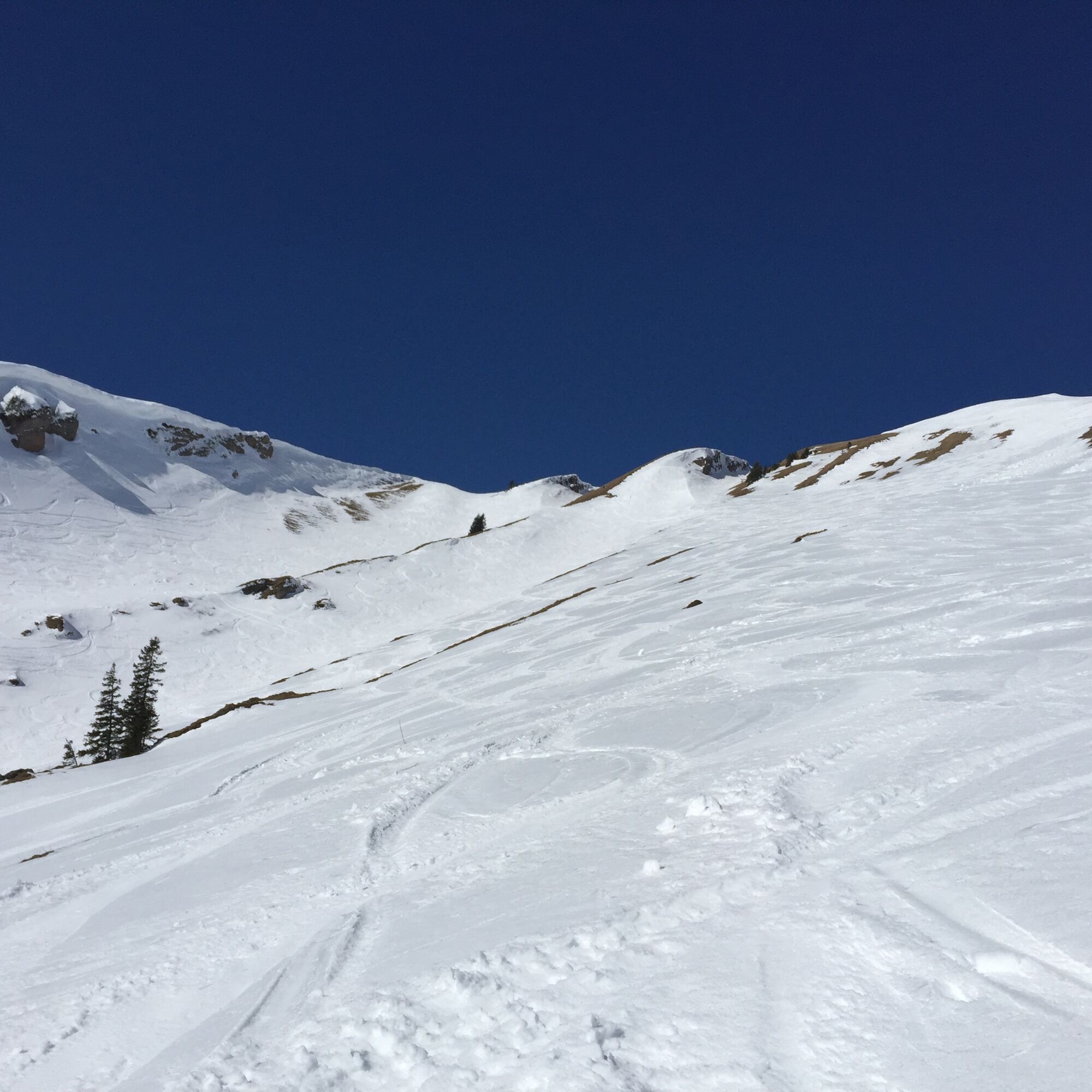
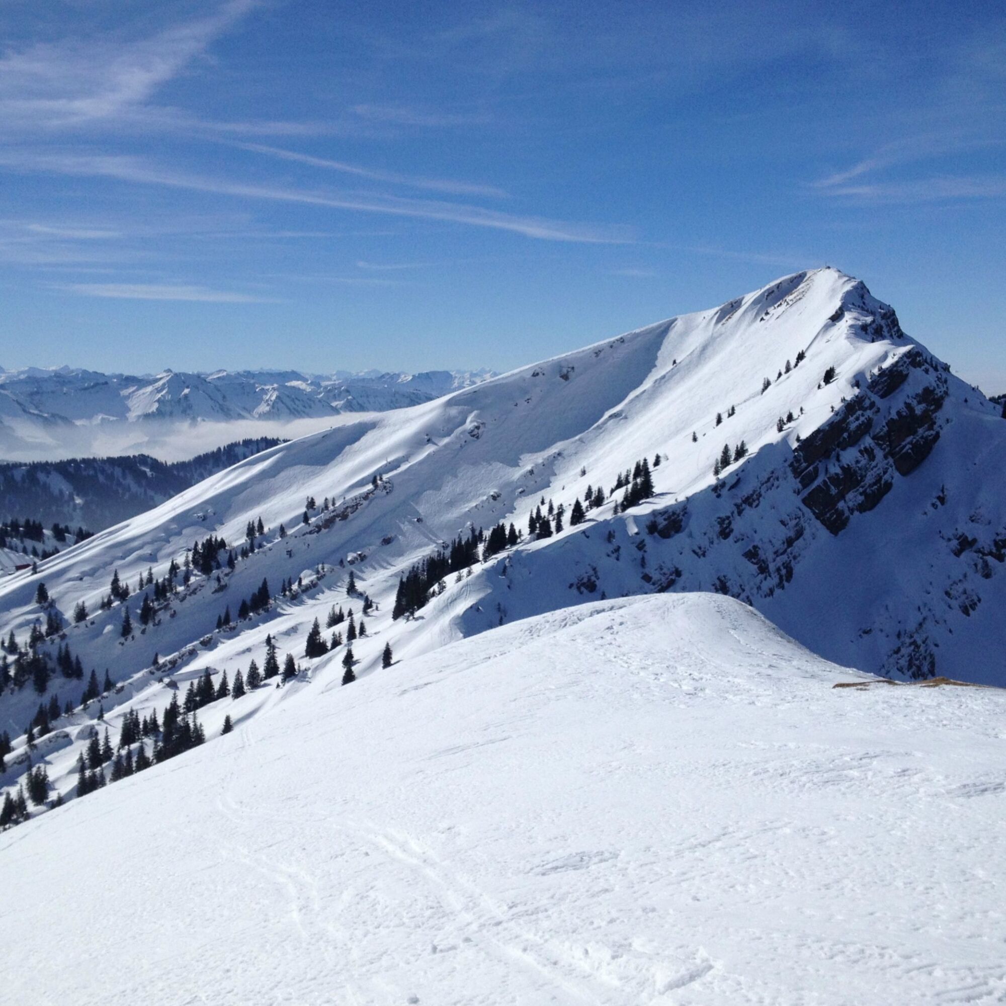
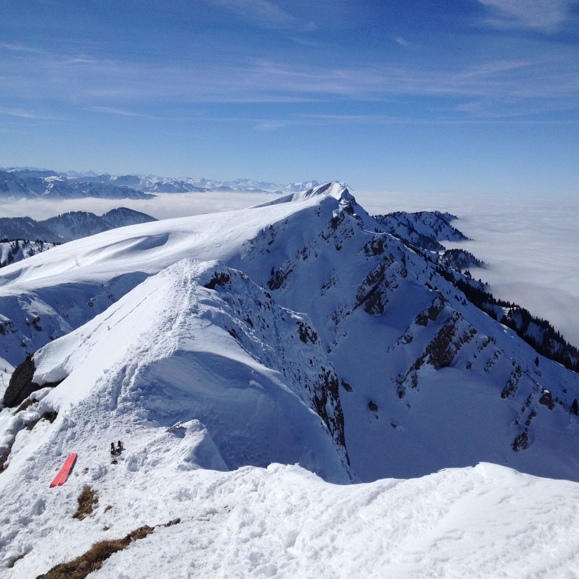
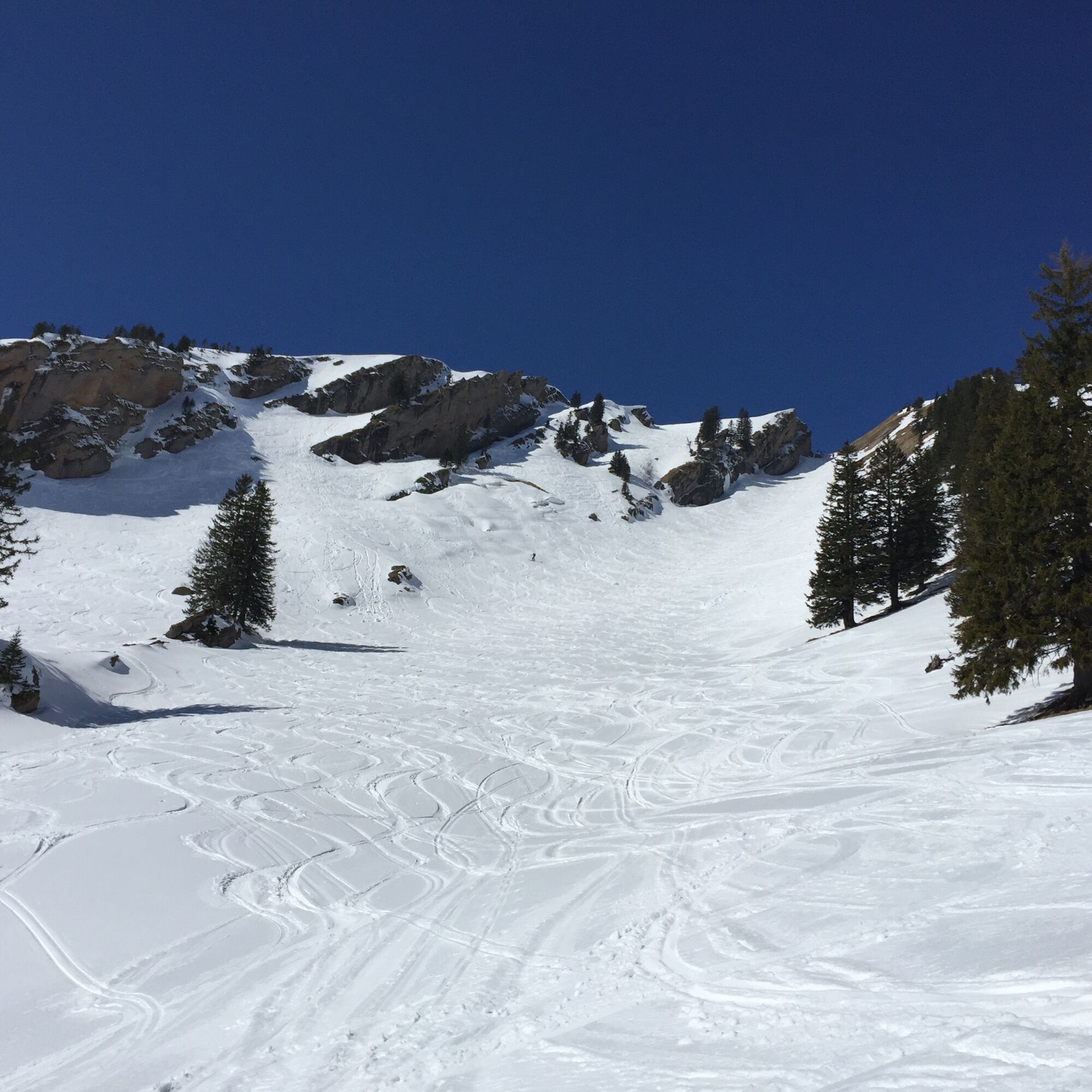
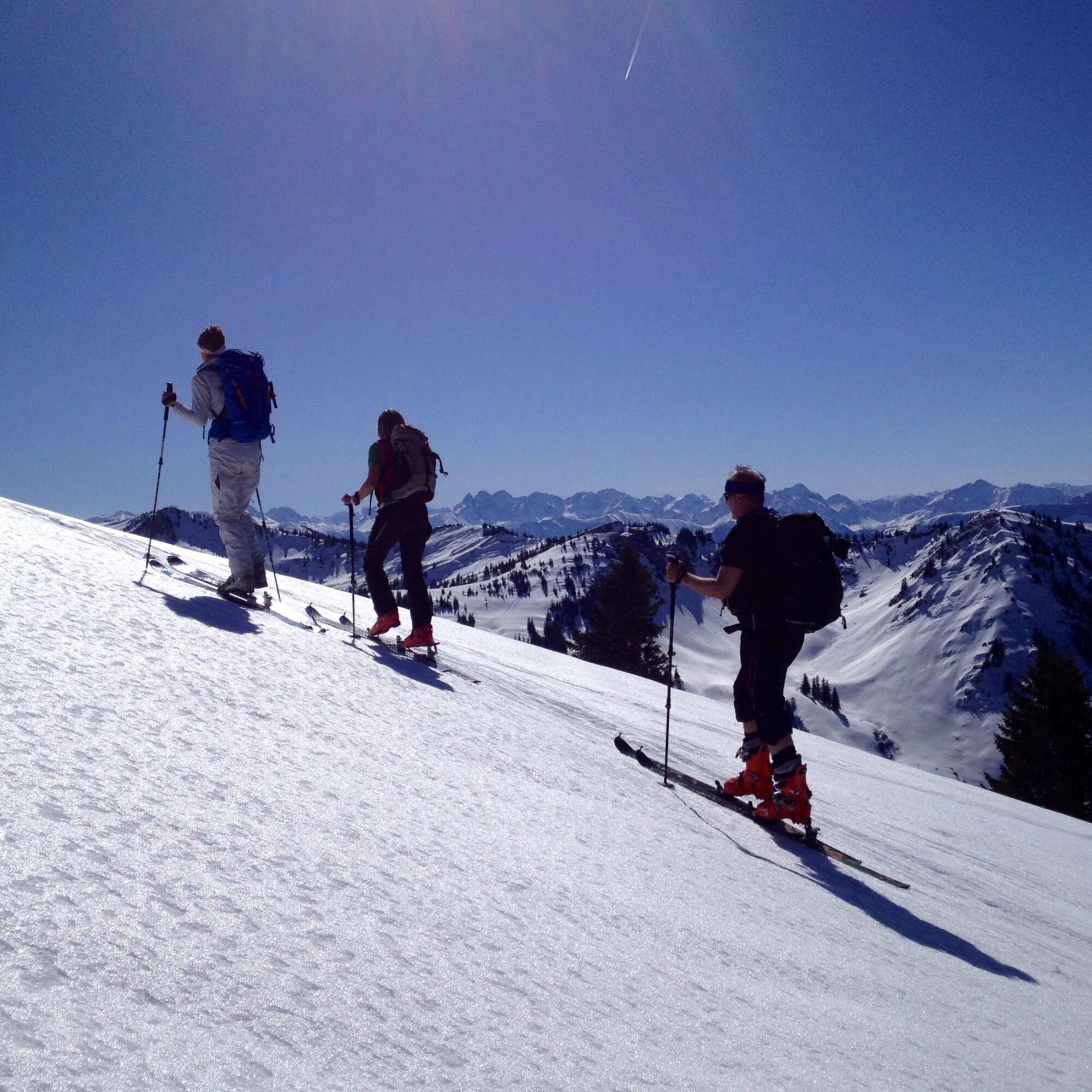
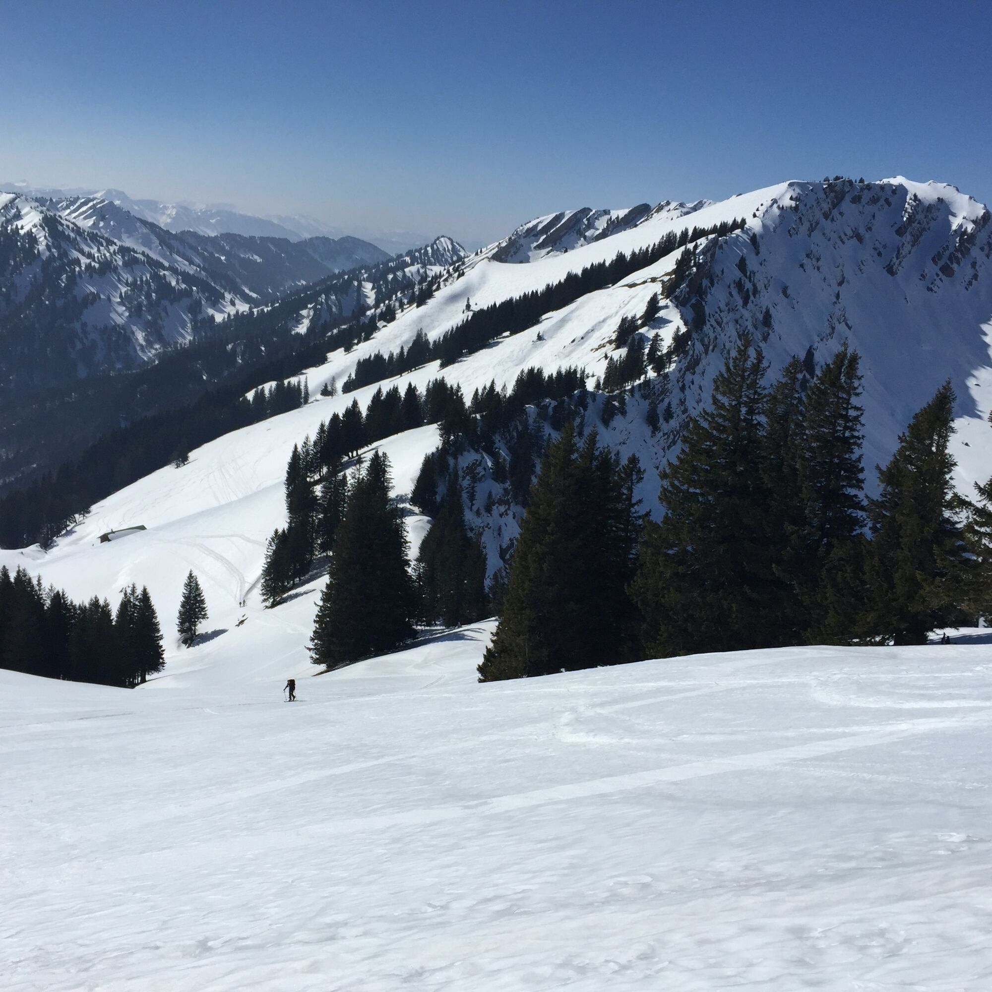


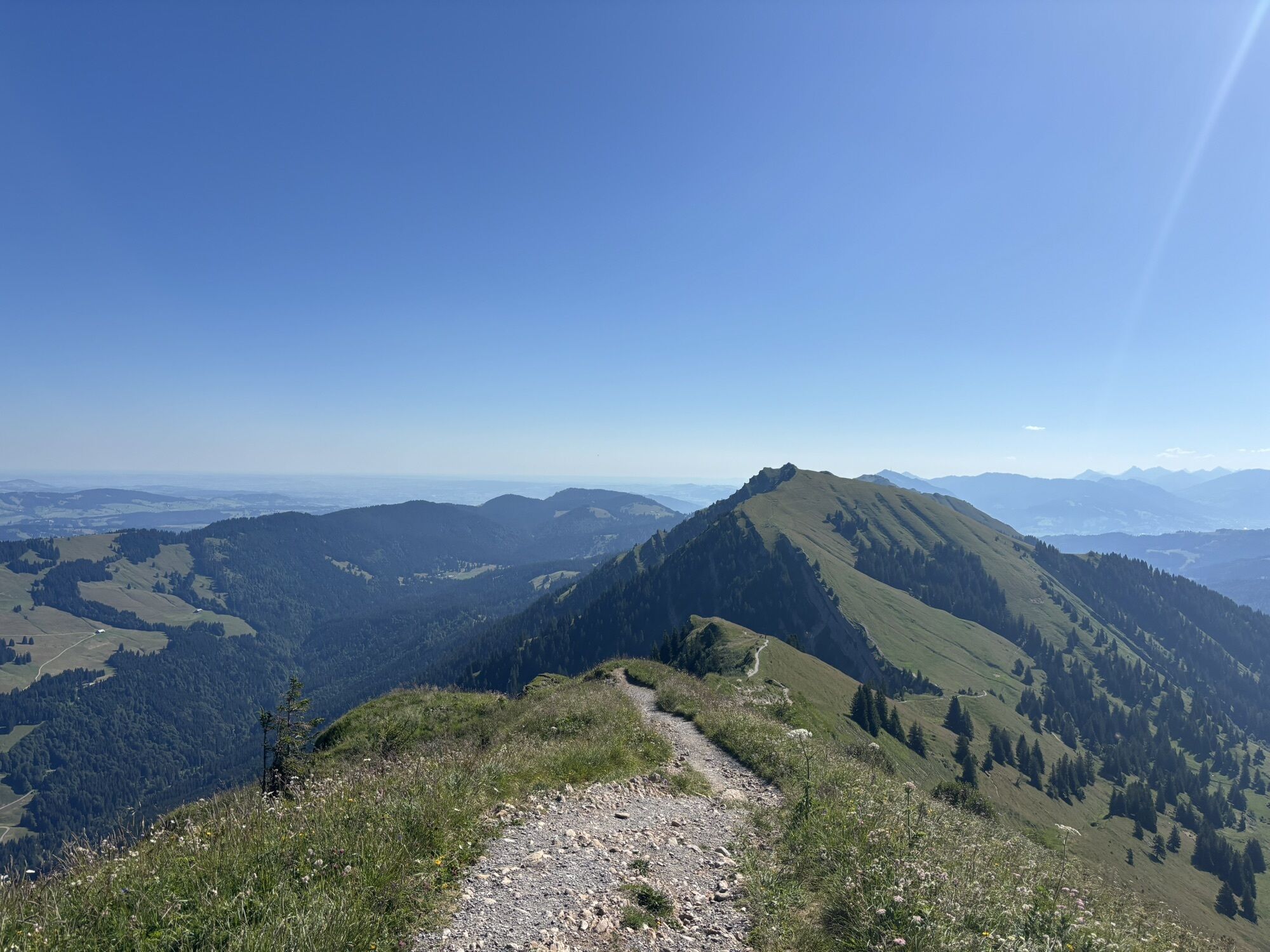
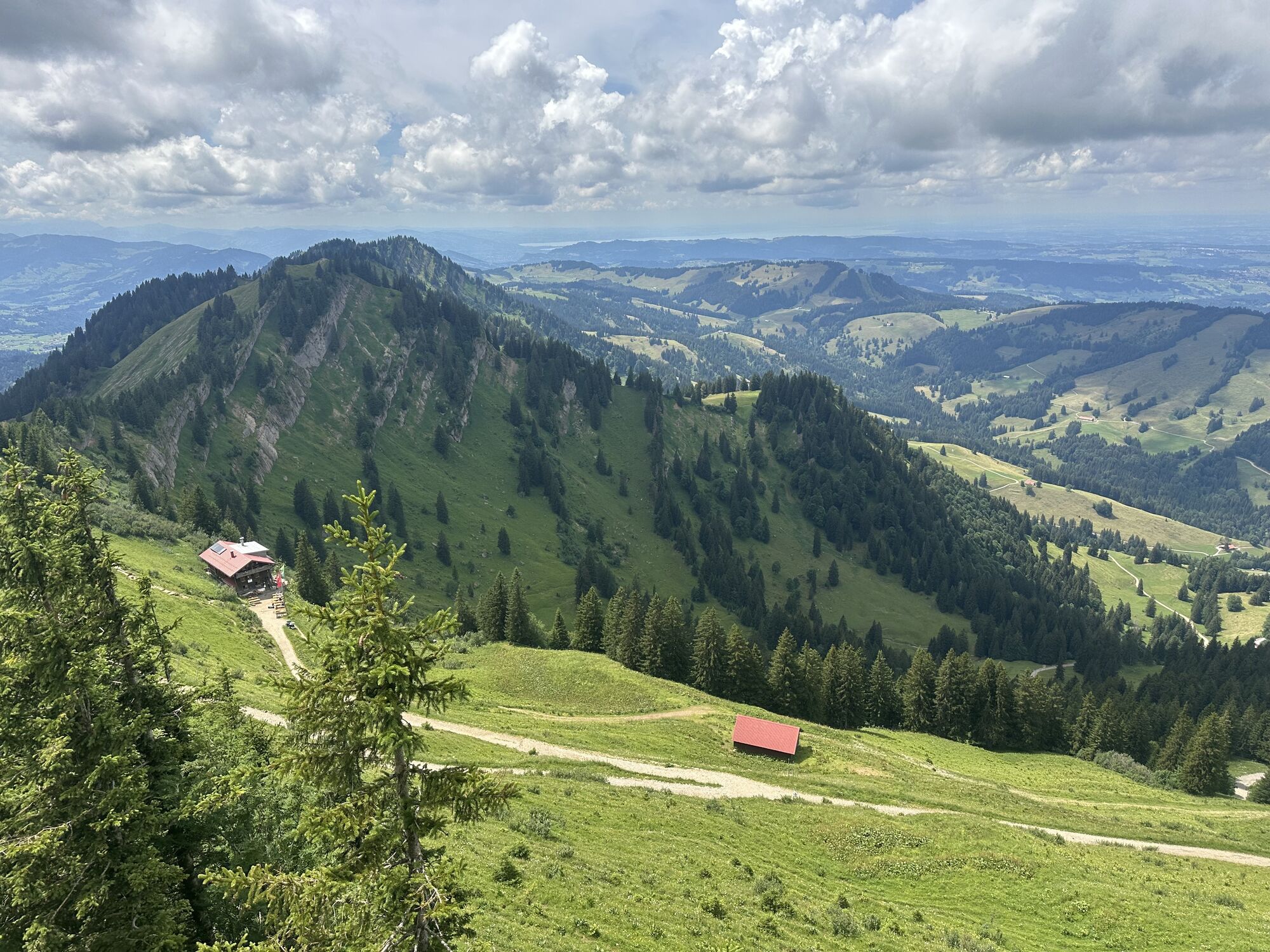
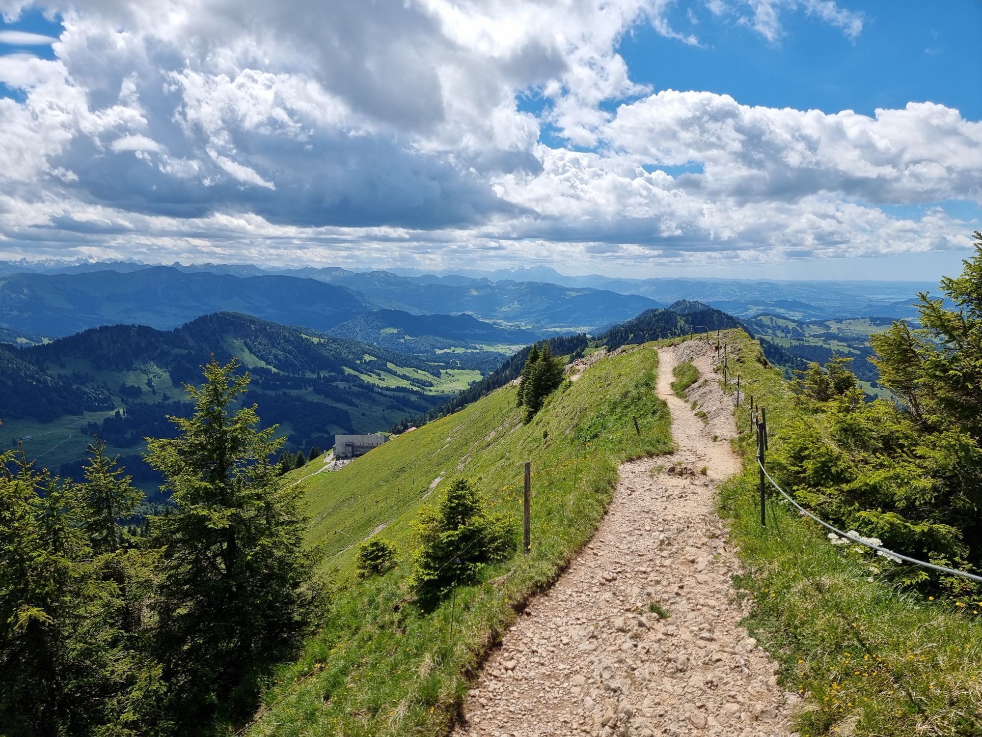
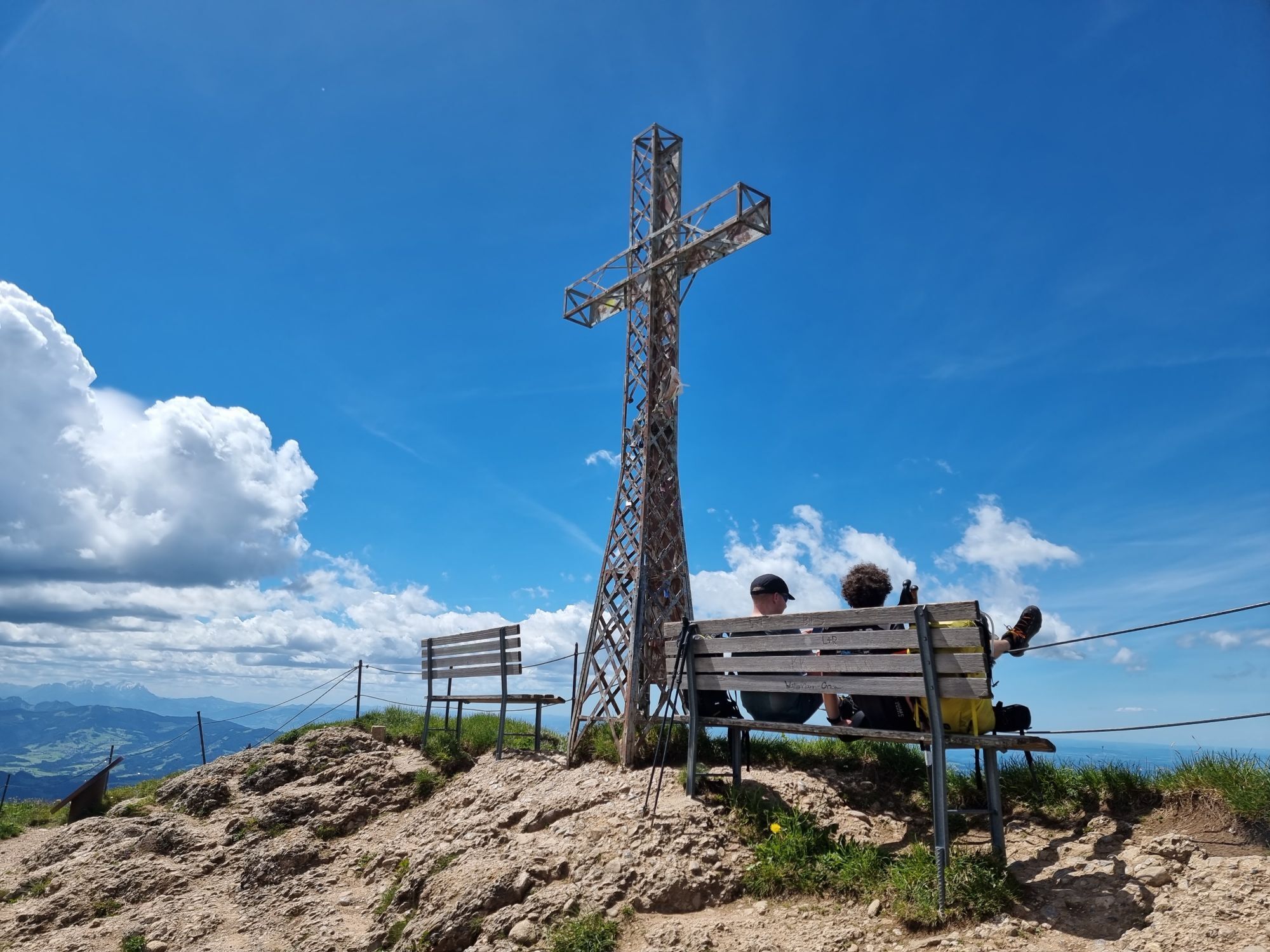
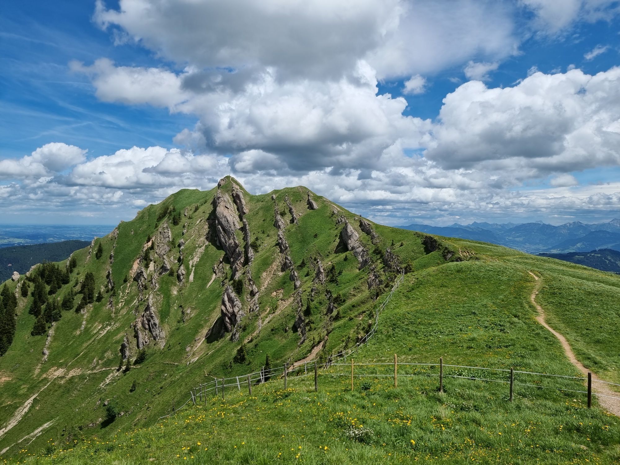
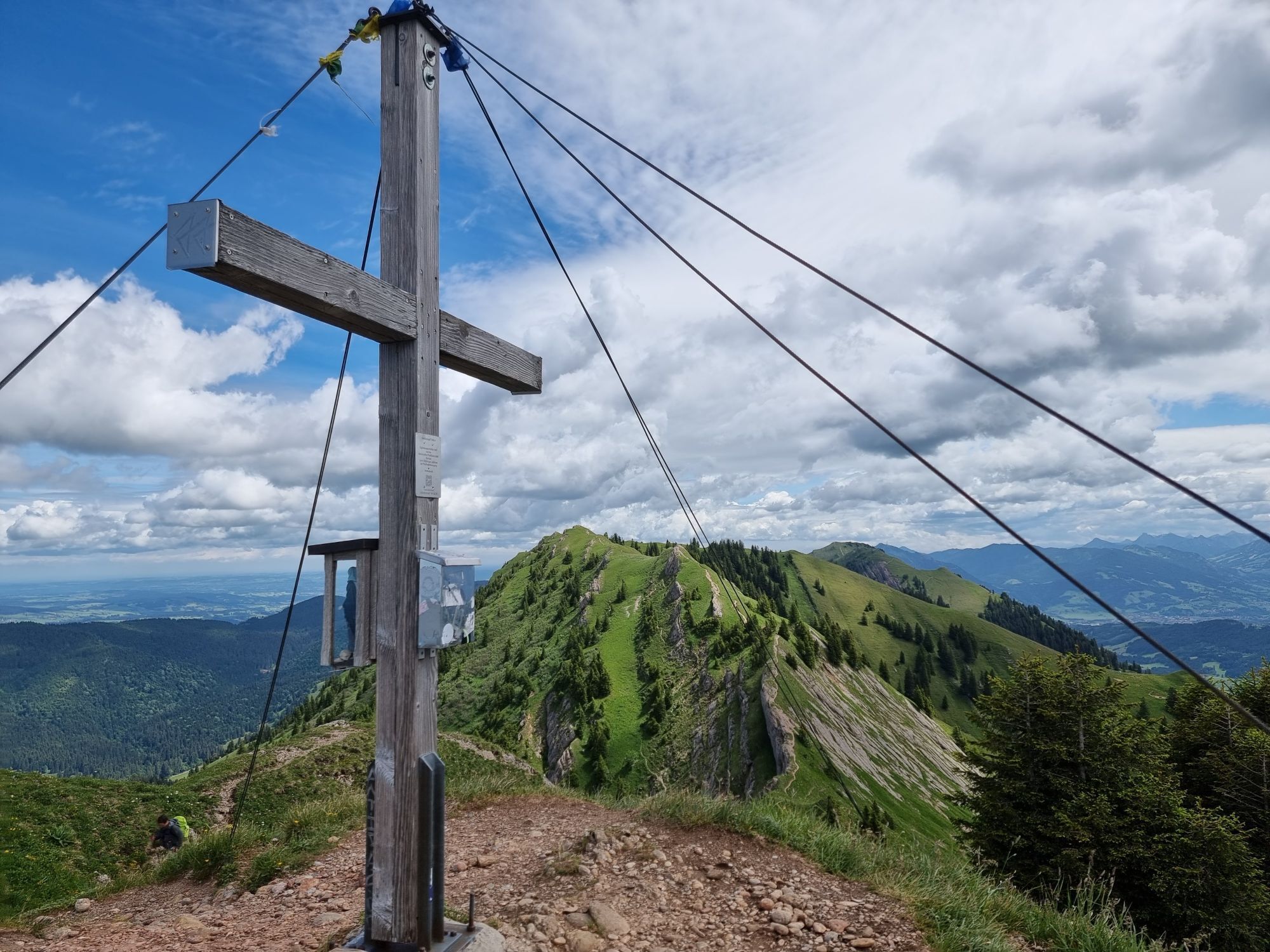
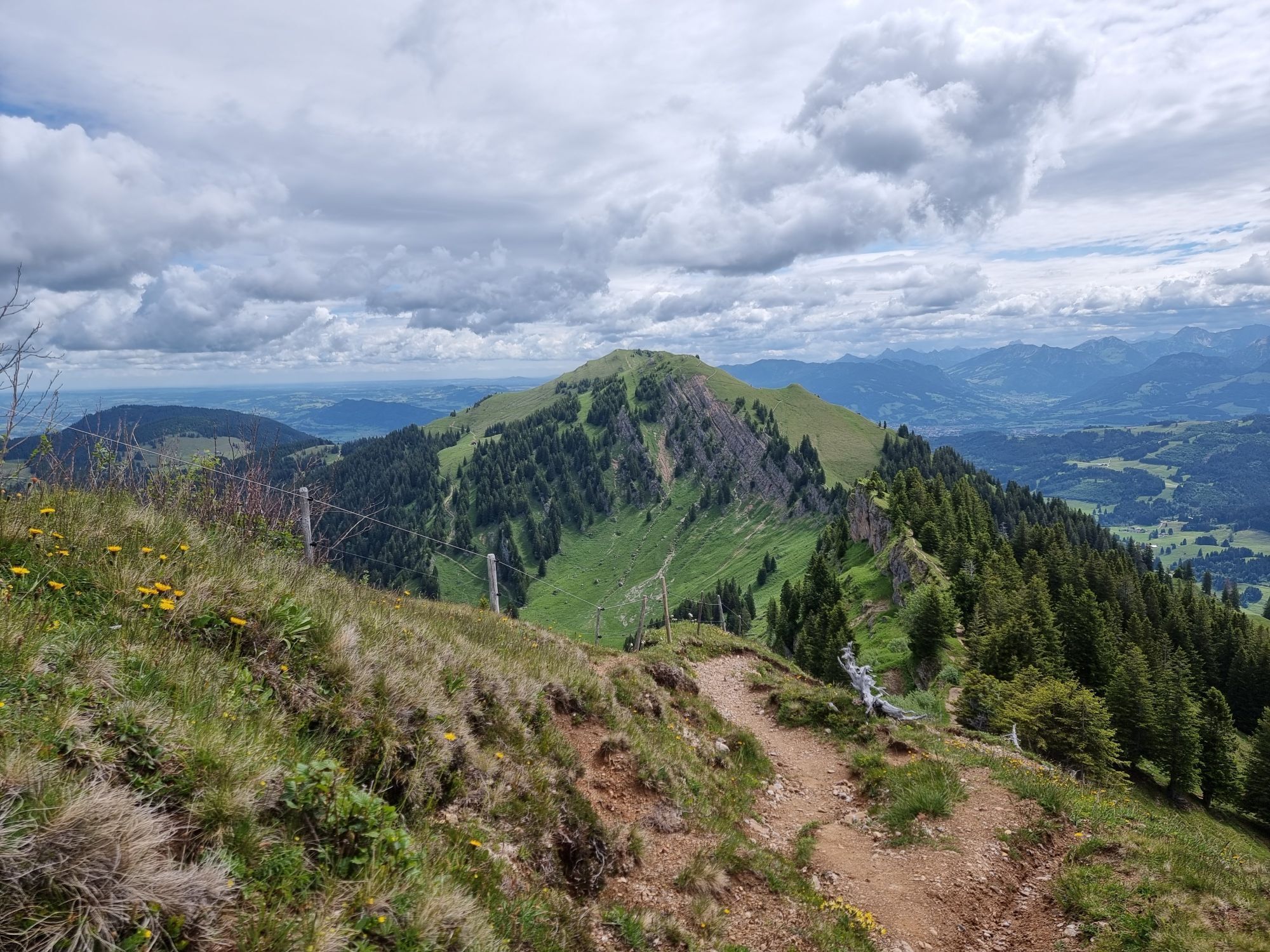
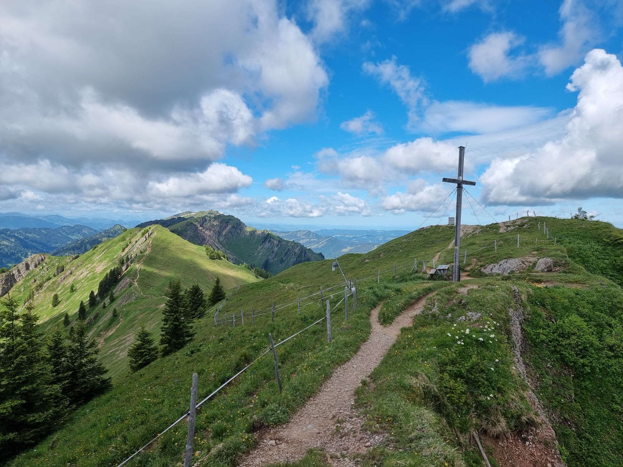
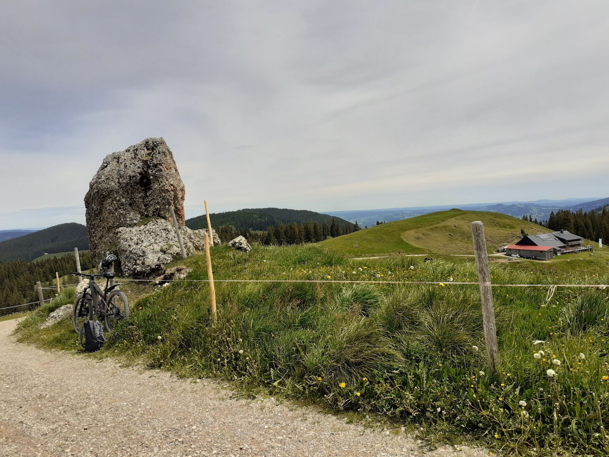
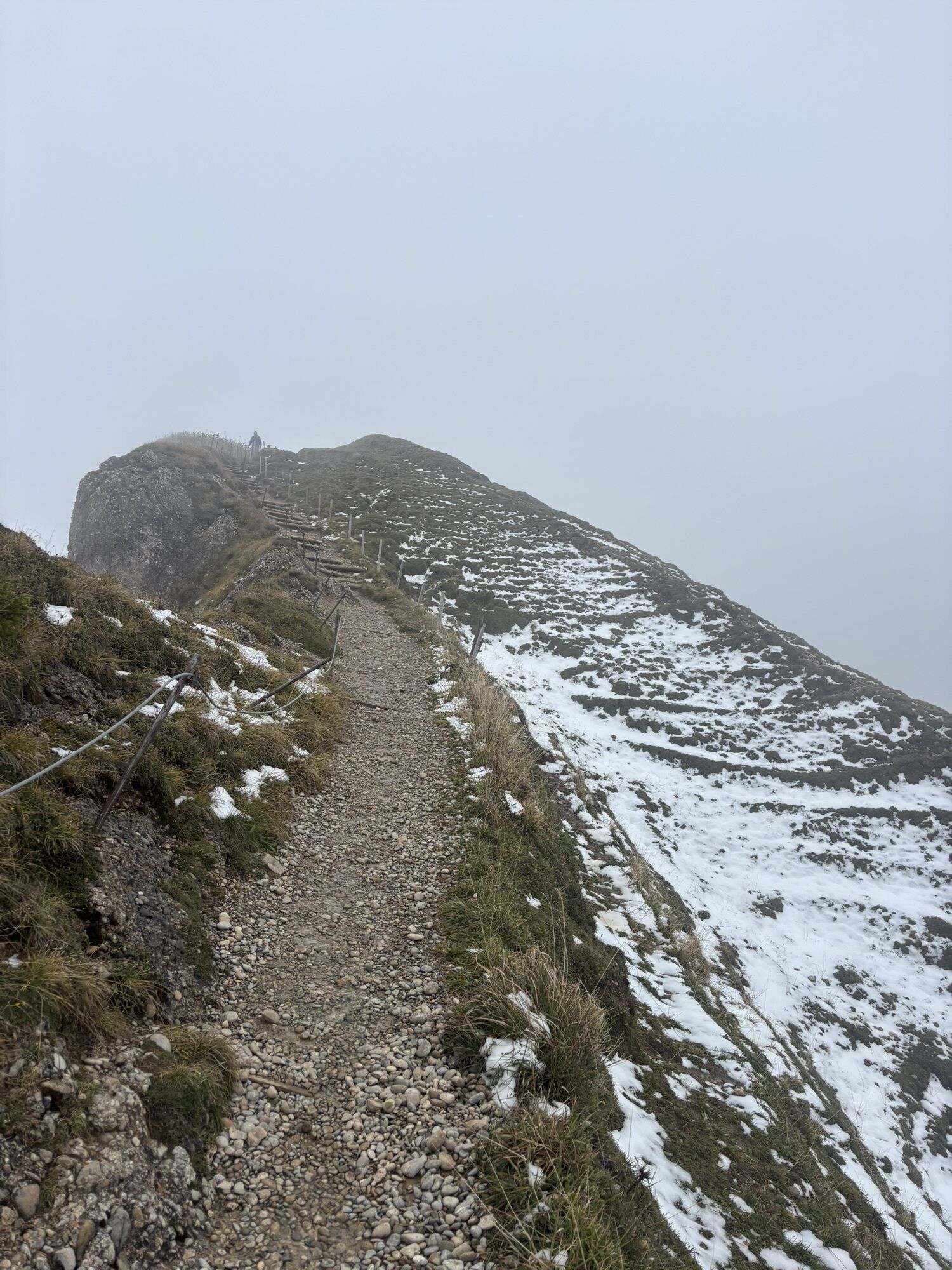
Very fit individuals start at the valley station of the Hochgratbahn at 856 m altitude and hike up via the Ahorn or Eibeleroute to the mountain station at 1,708 m. A more comfortable option is to take the nostalgic gondolas of the Hochgratbahn up. From there, you quickly reach the summit of the Hochgrat, at 1,834 m the highest peak of the Nagelfluhkette. Depending on snow conditions, there are several options for the first descent down to the Gütle Alpe. Once there, it's time to reattach the skins and climb to the Gelchenwanger Grat. From there, it's only a few meters downhill – removing skins is not really worth it. After a short ascent to the Rindalphorn, another great gully descent awaits. Beforehand, a short detour to the summit cross is worthwhile – here you look into a second gully, which, however, runs northward. The third ascent leads from the Gündlescharte to the summit of the Gündleskopf (1,748 m). The descent goes down to the eponymous Gündles-Alpe at 1,503 m. The south side of the hut makes a nice resting place – but you have to take care of your own provisions. From here, it's the fourth ascent – this time towards the Buralpkopf (1,772 m). Across a broad ridge, wide turns can be made during this descent toward the valley. Shortly before the Gatter Alpe at 1,489 m, it's time to put skins back on again – or those who want can take a snack break here. With skins under the skis, one more strenuous climb follows to the summit of the Sedererstuiben (1,737 m). The descent this time goes either directly north-facing down. A nice slope where you can still find powder snow even in spring. For the last time, skins are put on and, depending on preference, you ascend towards the Stuibengipfel. Alternatively, after a short pushing section, the valley path can be chosen directly. Or you put skins on one last time to the Stuibengipfel and ski on the western side of the summit along the ridge towards the Alpe Gund (1,487 m – dining option) or alternatively further to the Alpe Mittelberg (1,370 m – dining option). Either descend from the Alpe Gund eastwards towards the valley, or via the Mittelbergalpe to the end point at the cemetery in Immenstadt.
Ano
Ano
Ski touring equipment including avalanche transceiver, shovel and probe as well as sufficient provisions and change of clothes.
Experience and good skiing skills are required. Observe avalanche forecast and weather report!
Via the B 308 to Oberstaufen – continue via Steibis to the Hochgratbahn.
By train from Immenstadt to Oberstaufen, then with the guest bus to the Hochgratbahn.
Parking at Oberstaufen train station, at the Hochgratbahn, and at the livestock market square in Immenstadt.
First bus from Oberstaufen train station to the Hochgratbahn at 8:35 a.m. Railway operation from 9 a.m. From the cemetery in Immenstadt, 10 minutes on foot to the station. From there, approximately hourly train or bus connections back to Oberstaufen.
www.oberstaufen.de/bus
Your freedom - my living space! Please observe the marked protected zones in the Nagelfluhkette Nature Park!
Map material: DAV map Allgäuer Voralpen West
Webové kamery z prohlídky
-
Hochgratbahn Bergstation
-
Oberstaufen - Biohotel Schratt
-
Oberstaufen - Biohotel Schratt
-
Segelclub Alpsee
-
Gschwendlift 1 Bergstation
-
Balderschwang - Schelpenbahn
-
Bergstation Weltcup-Express
-
Bergstation Ofterschwang
-
Gipfel Ofterschwanger Horn
-
Talstation Ossi-Reichert Bahn
-
Segelclub Alpsee
-
Mittaggipfel
-
Sonthofen - Panzer & Braun Tiefbau
-
Balderschwang
-
Alpe Hohenschwand
-
Alpe Birkach
-
Imberghaus
-
Balderschwang - Siplinger Suites
-
Ofterschwang - Allgäuer Berghof
-
Schelpenalp Talstation
-
Blaichach - Gunzesried
-
Alpsee Bergwelt
-
Alpsee Bergwelt
-
Alpsee Bergwelt - Bärenfalle
-
Alpe Birkach - Nagelfluh
-
Allgäuer Berghof - Erlebnishof
Získejte přehled
Vždy živě na místě s více než 9 500 webkamerami. bergfex Jako uživatel Pro si nyní můžete zobrazit odpovídající webové kamery pro mnoho prohlídek v aplikaci prohlídky z. Můžete si tak přímo prohlédnout aktuální podmínky.
Oblíbené prohlídky v okolí
-
4.7
Steibis - Buchenegger Waterfalls
středníTuristika 6.47 km -
3.9
Klassikertour: Auf den Grünten
heavyTuristika 8.50 km -
4.1
Winter circular hike through the Breitachklamm gorge
středníZimní turistika 5.66 km -
4.6
Hittisau | Wasserwanderweg
světloTematická stezka 7 km -
4.4
Wanderung auf den grünten
středníTuristika 8.31 km -
4.4
3-Gipfel-Tour bei Sonthofen im Allgäu
středníTuristika 11.4 km -
4.6
Breitachklamm Rundweg (Alpe Dornach)
středníTuristika 7.65 km -
4.3
Starzlachklamm
středníTuristika 5.30 km -
4.8
Rindalphorn und Hochgrat
středníTuristika 15.6 km -
4.6
Wanderung auf den Sonnenkopf
středníTuristika 6.60 km
Pěší turistika a stopování


Nenechte si ujít nabídky a inspiraci pro vaši příští dovolenou
Vaše e-mailová adresa byl přidán do poštovního seznamu.





