


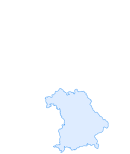

Circular route over Prodel and Denneberg
Fotografie našich uživatelů
-
 © Erich Graf 2Vytvořeno dne 19.01.2025
 -
 © Erich Graf 2Vytvořeno dne 19.01.2025
 -
 © Erich Graf 2Vytvořeno dne 19.01.2025
 -
 © Erich Graf 2Vytvořeno dne 19.01.2025
 -
 © Erich Graf 2Vytvořeno dne 19.01.2025
 -
 © Erich Graf 2Vytvořeno dne 19.01.2025
 -
 © Erich Graf 2Vytvořeno dne 19.01.2025
 -
 © Erich Graf 2Vytvořeno dne 19.01.2025
 -
 © Erich Graf 2Vytvořeno dne 19.01.2025
 -
 © Erich Graf 2Vytvořeno dne 19.01.2025
 -
 © Erich Graf 2Vytvořeno dne 19.01.2025
 -
 © Erich Graf 2Vytvořeno dne 19.01.2025
 -
 © SimilaunVytvořeno dne 29.04.2025
 -
 © SimilaunVytvořeno dne 29.04.2025
 -
 © SimilaunVytvořeno dne 29.04.2025


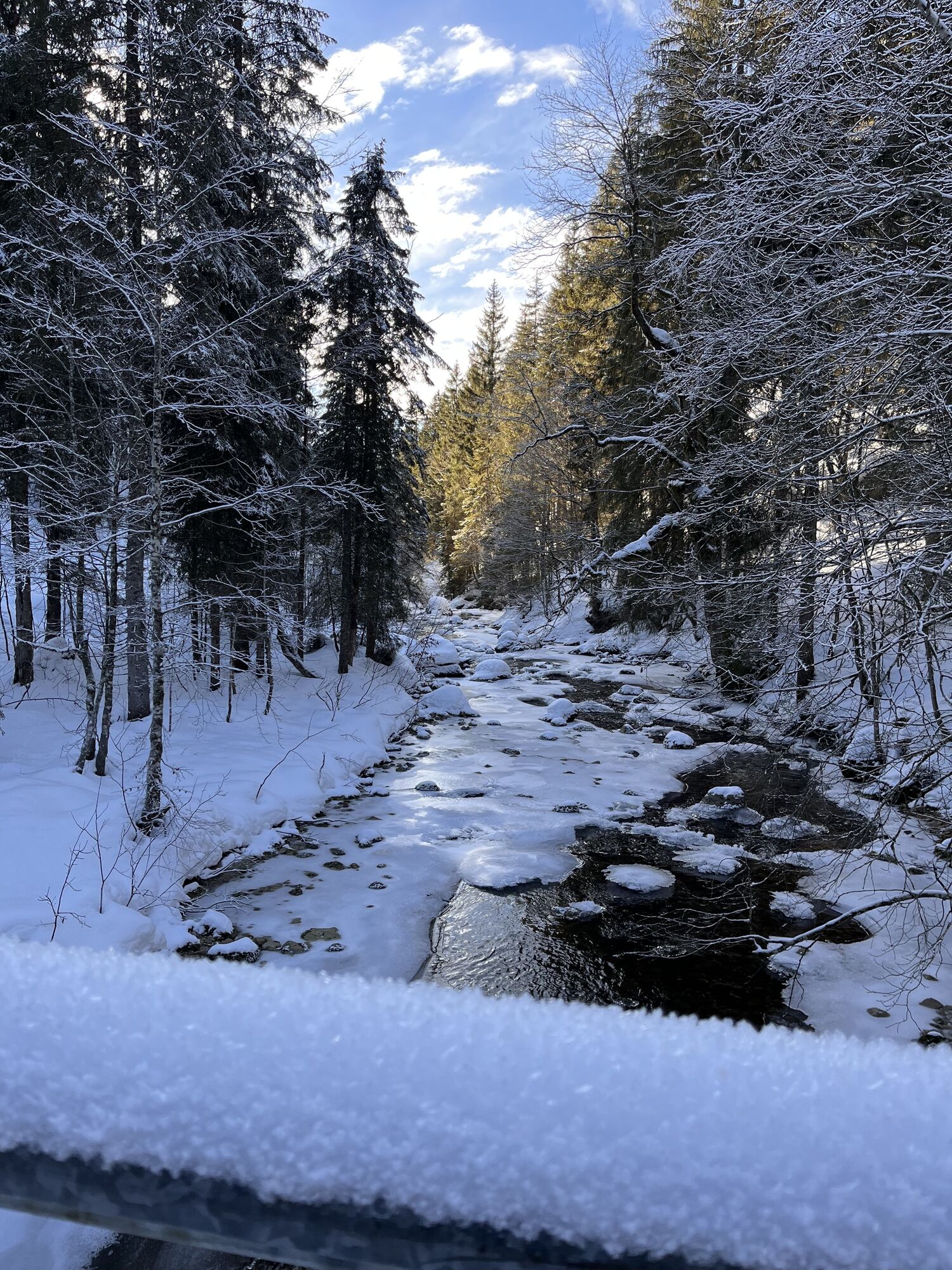
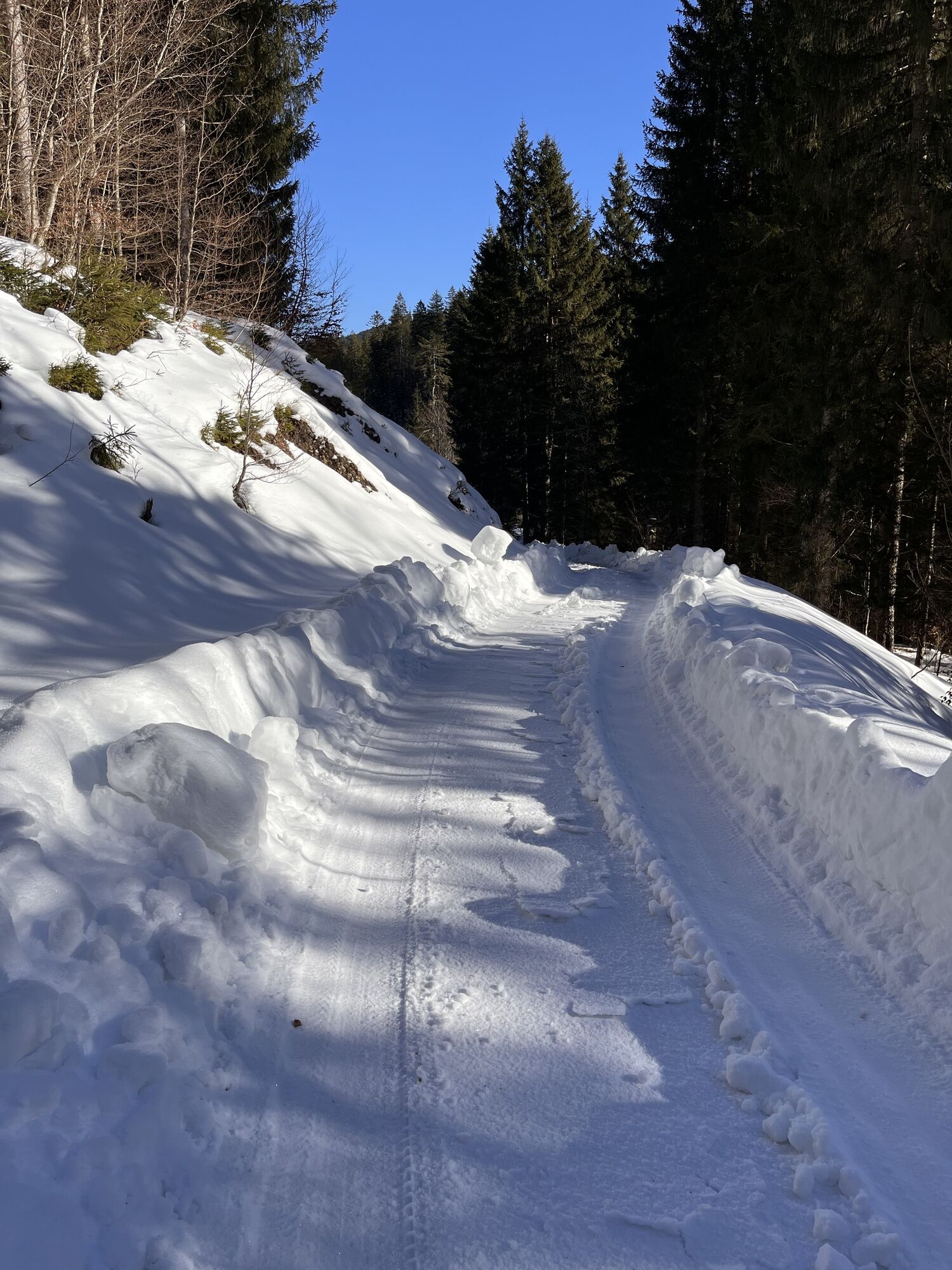

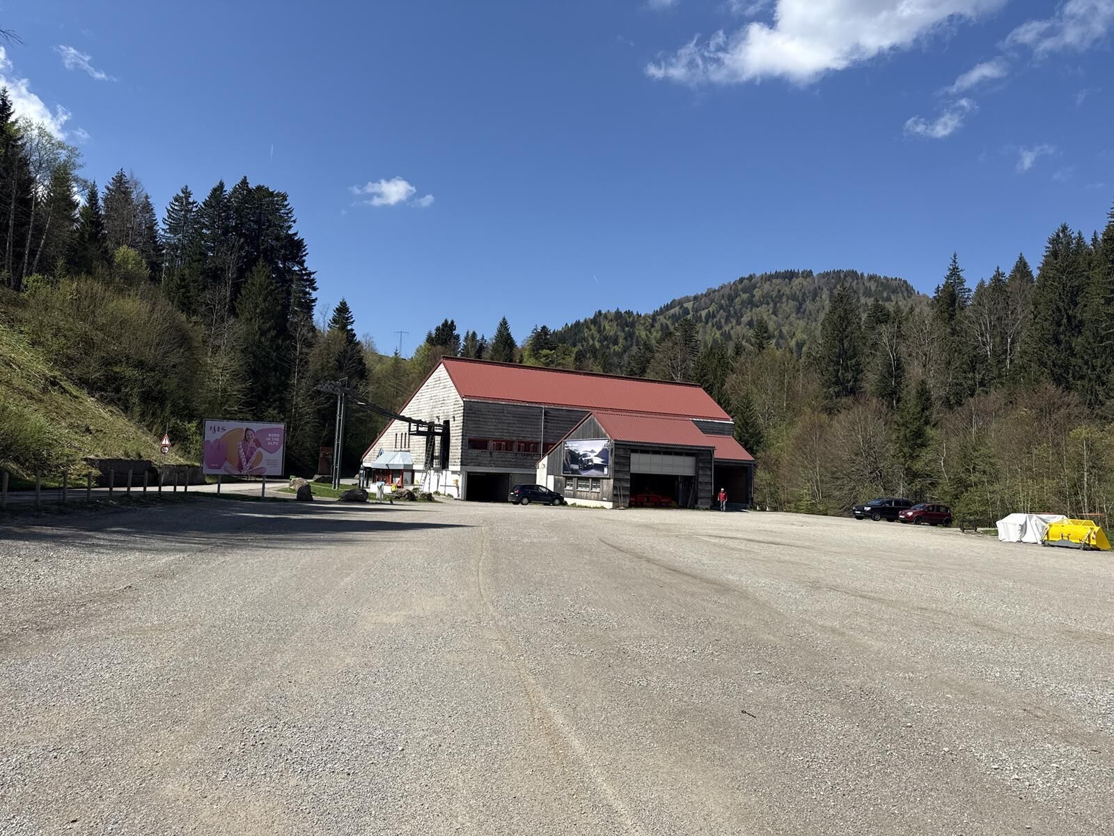
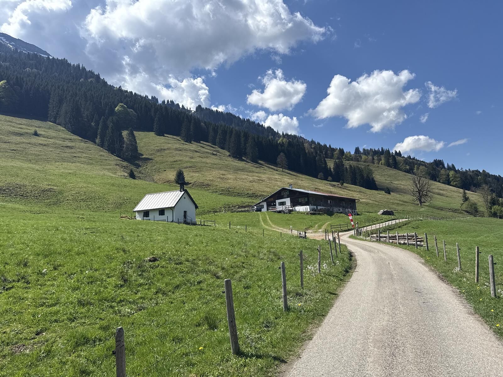
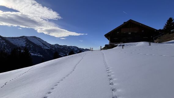
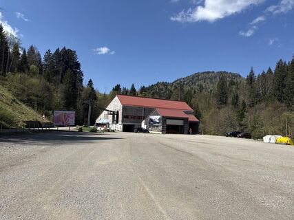
The sunny circular route starts at the parking lot of the Hochgrat cable car. A few meters on the narrow road towards Ehrenschwanger valley, then a path leads left over the bridge of the "Weißach". Here...
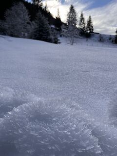
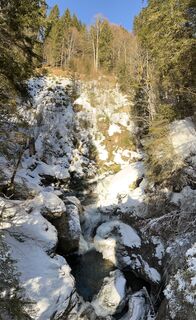
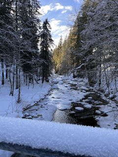
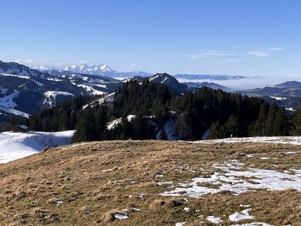
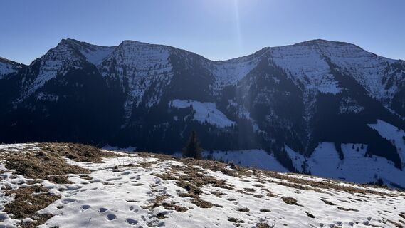
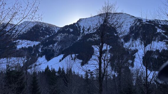
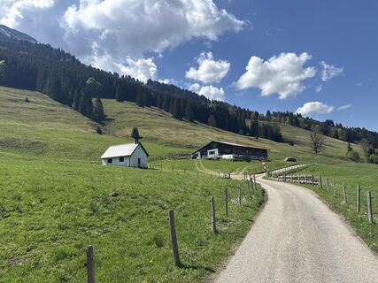
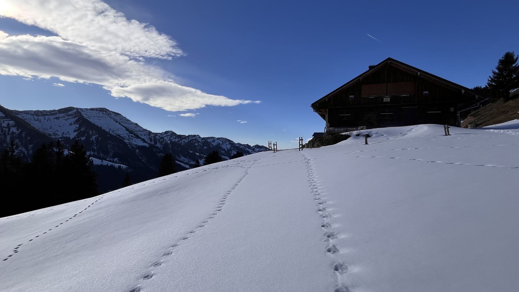
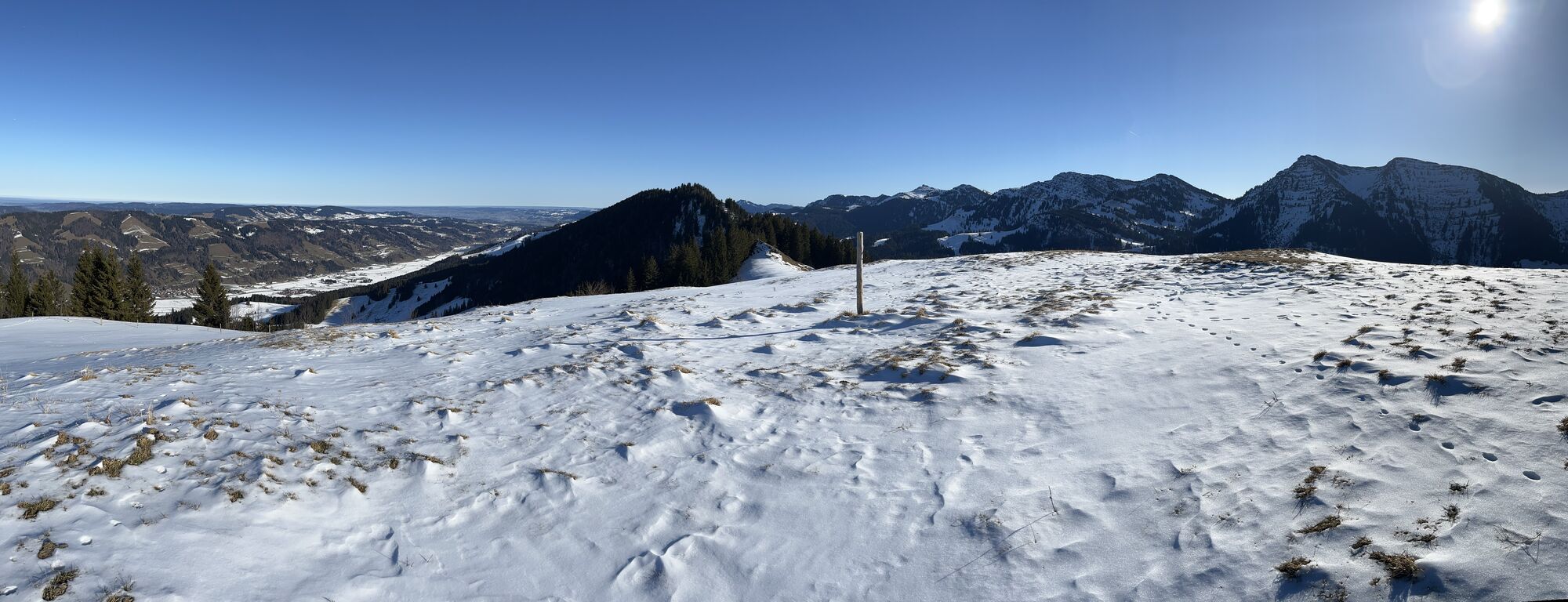
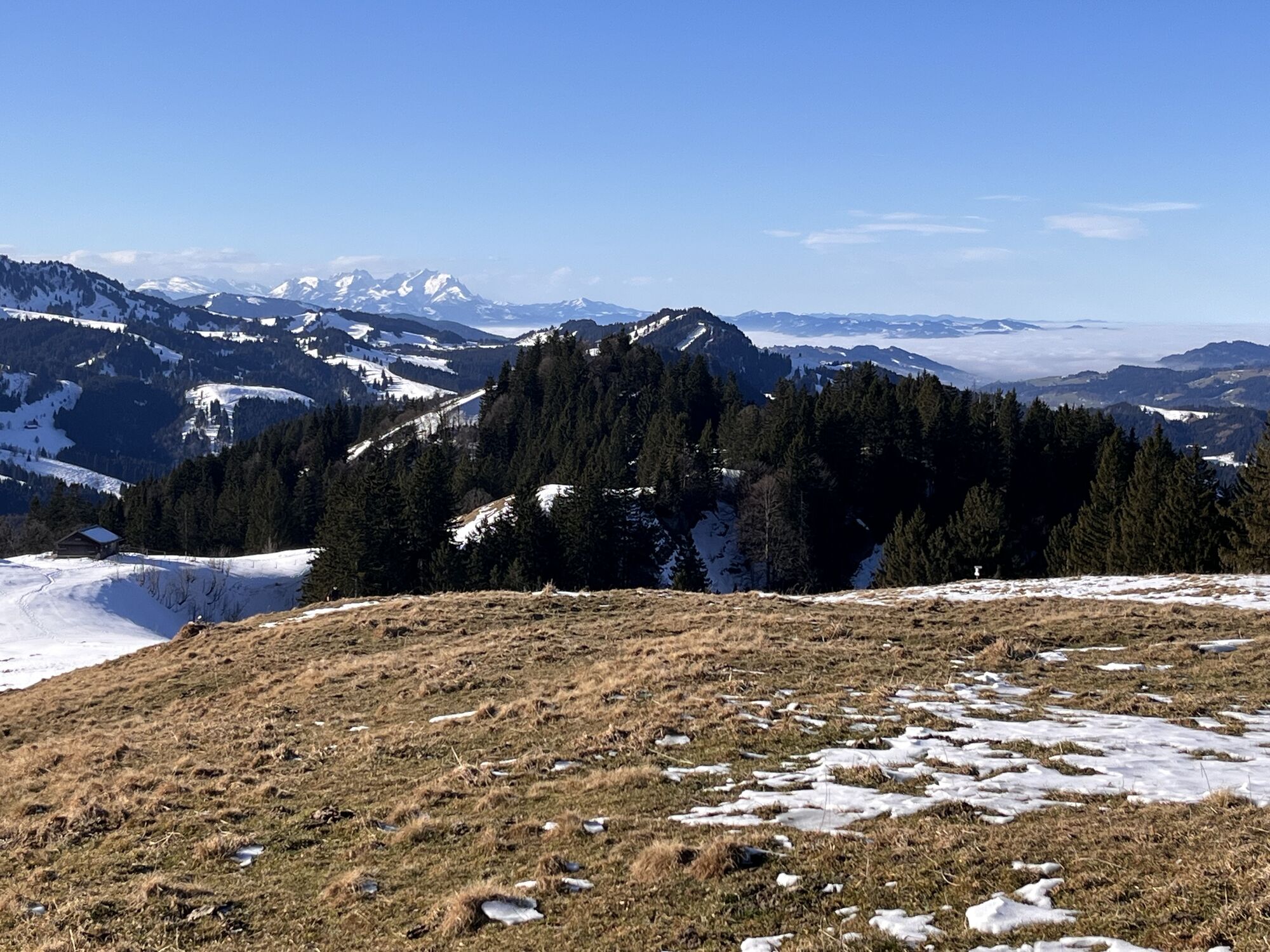
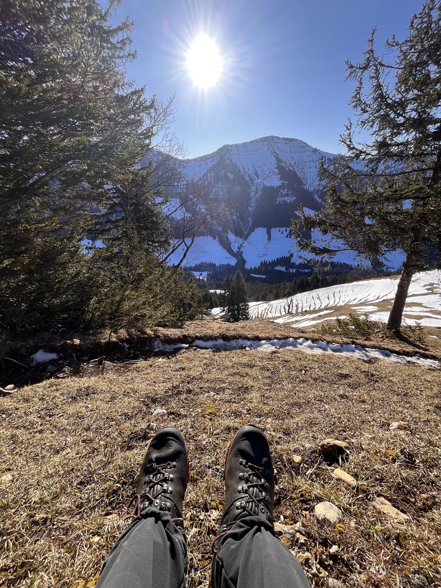
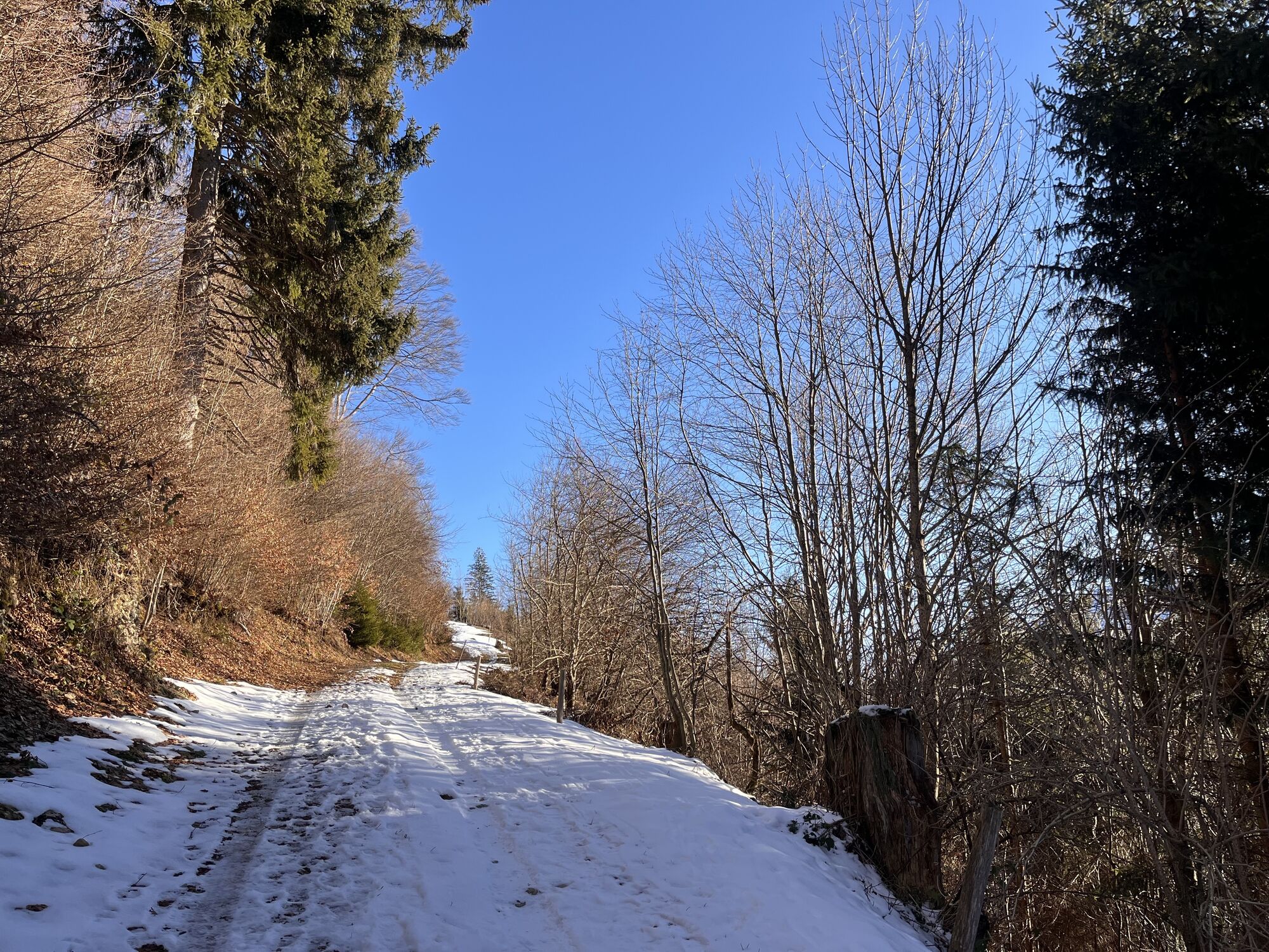
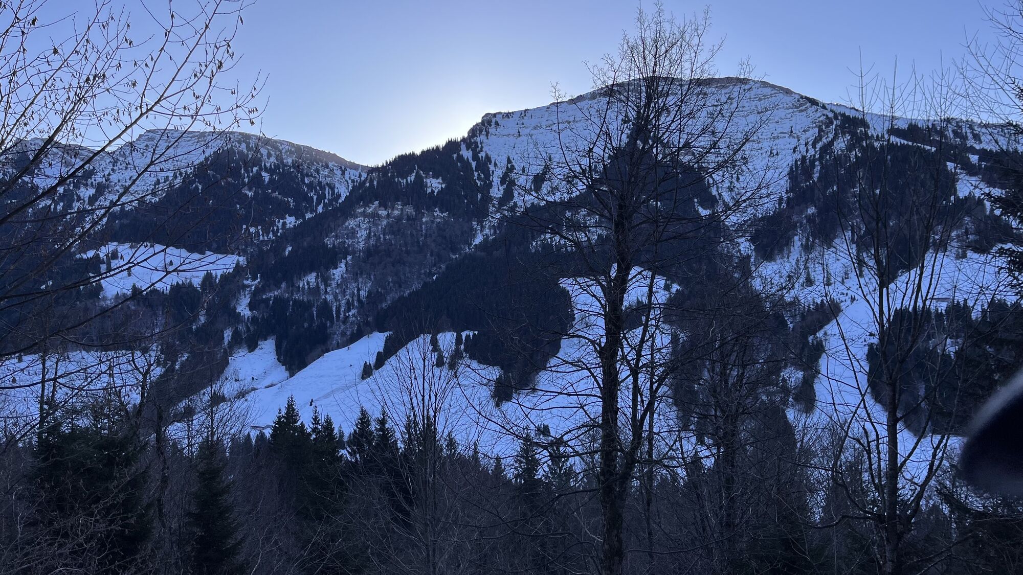
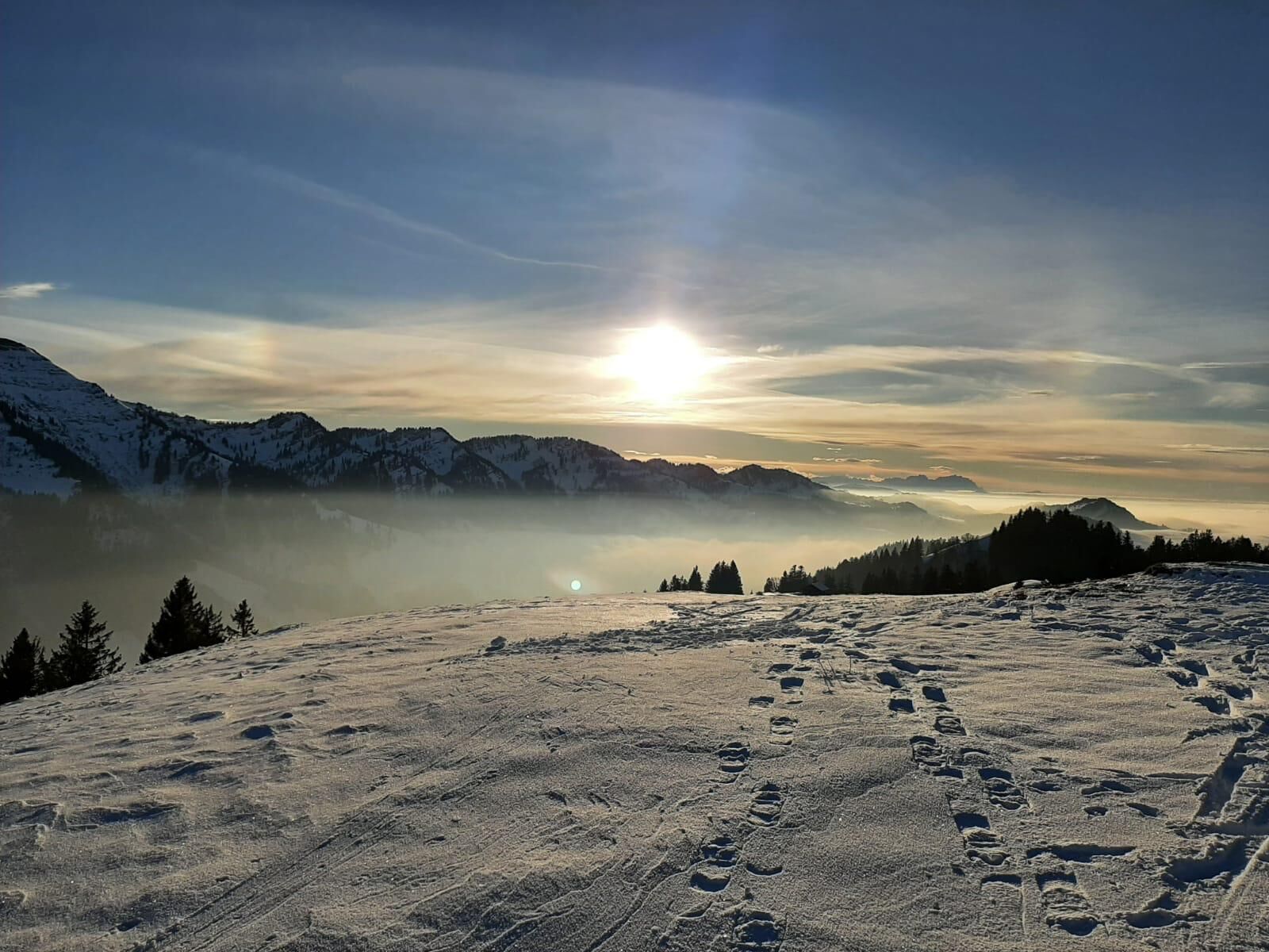
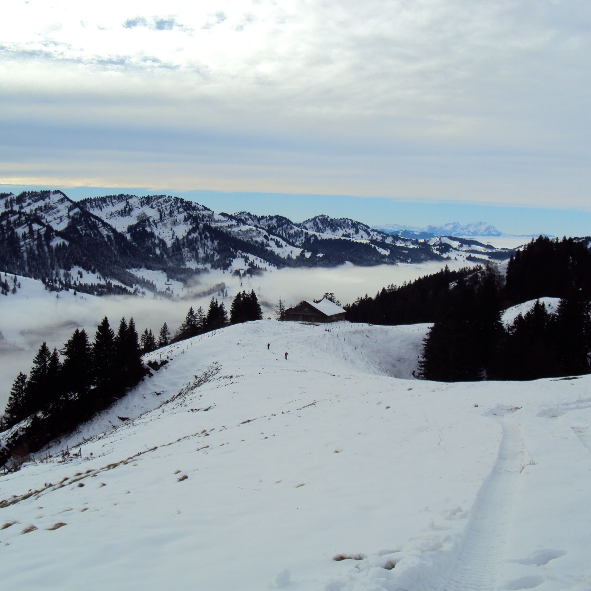
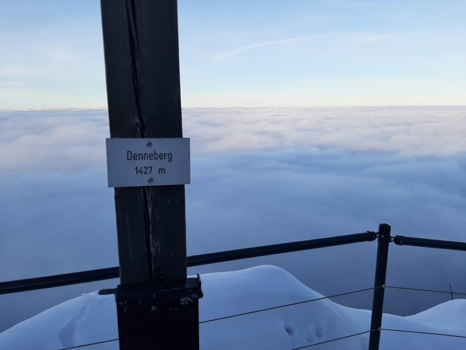
The sunny circular route starts at the parking lot of the Hochgrat cable car. A few meters on the narrow road towards Ehrenschwanger valley, then a path leads left over the bridge of the "Weißach". Here begins the south-facing ascent up to the Prodelalpe (1,220 m). Once at the top, you'll enjoy a first magnificent mountain view in all directions. When crossing the ridge, these panoramic views continue: directly opposite towers the striking Hochgrat at 1,834 meters high, with the other peaks of the well-known Nagelfluh chain on the left and right. If there is little snow, follow the narrow path that partly runs on the ridge but mostly slightly south-facing. With heavy snow, you have to "break" your own way. Behind lies the mighty Säntis massif of eastern Switzerland; to the right are the peaks of the Nagelfluh chain, and to the left, your view frequently falls on Oberstaufen and across the Konstanz valley. Without too much elevation difference, you soon reach the second peak, the Denneberg (1,427 m). Shortly after the summit, we leave the ridge southwards down to the Upper Klamm Alpe. From early December to the end of April, we walk outside the closed wildlife protection area over the Laubgund Alpe down into the Ehrenschwanger valley and along the Weißach back to the parking lot of the Hochgrat cable car. (During the opening times of the wildlife protection area from May to November, the round can be shortened via the Unterdenneberg Alpe, Holzschlag Alpe, and Lower Schwarzenberg Alpe.)

Ano
Ano
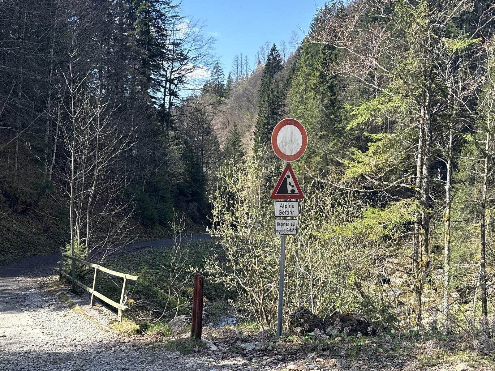
Adapt your equipment to the winter conditions and the specific route destination. Off secured hiking trails, avalanche transceiver, probe, and shovel as well as their safe handling are standard. Also first aid kit, bivy sack, and mobile phone (European emergency number 112). Map, app, and GPS support orientation.
Inform yourself thoroughly about avalanche danger before the route! What is the danger level, where are the danger spots, what are the current avalanche problems? Avoid routes at danger levels 4 and 5.
On B 308 to Oberstaufen. Via Steibis to the Hochgrat.
By train to Oberstaufen. Then continue by guest bus to the Hochgrat valley station.
Parking at the Hochgrat cable car
Good to know:
This route tip is not specially signposted.

Oblíbené prohlídky v okolí
-
4.5
Hittisau | Wasserwanderweg
světloTematická stezka 7 km -
4.5
Steibis - Buchenegger Waterfalls
středníTuristika 6.47 km -
4.5
Rindalphorn und Hochgrat
středníTuristika 15.6 km -
3.8
Hörner Panoramatour
středníTuristika 17.3 km -
5.0
HörnerPanoramaTour
světloTuristika 5.34 km -
5.0
Nagelfluh ridge route Hochgrat - Mittag
heavyTuristika 14.0 km -
3.5
Rundtour Mittag
světloTuristika 15.7 km -
4.3
Circular route Steibis to Dreiländerblick
středníTuristika 7.95 km -
5.0
Siedelalpe Runde von See - Immenstadt
světloTuristika 10.3 km -
5.0
Circular route Hochgrat - Falkenhütte
heavyTuristika 14.2 km

Pěší turistika a stopování


Nenechte si ujít nabídky a inspiraci pro vaši příští dovolenou
Vaše e-mailová adresa byl přidán do poštovního seznamu.