







Snowshoe hike to Hündeleskopfhütte

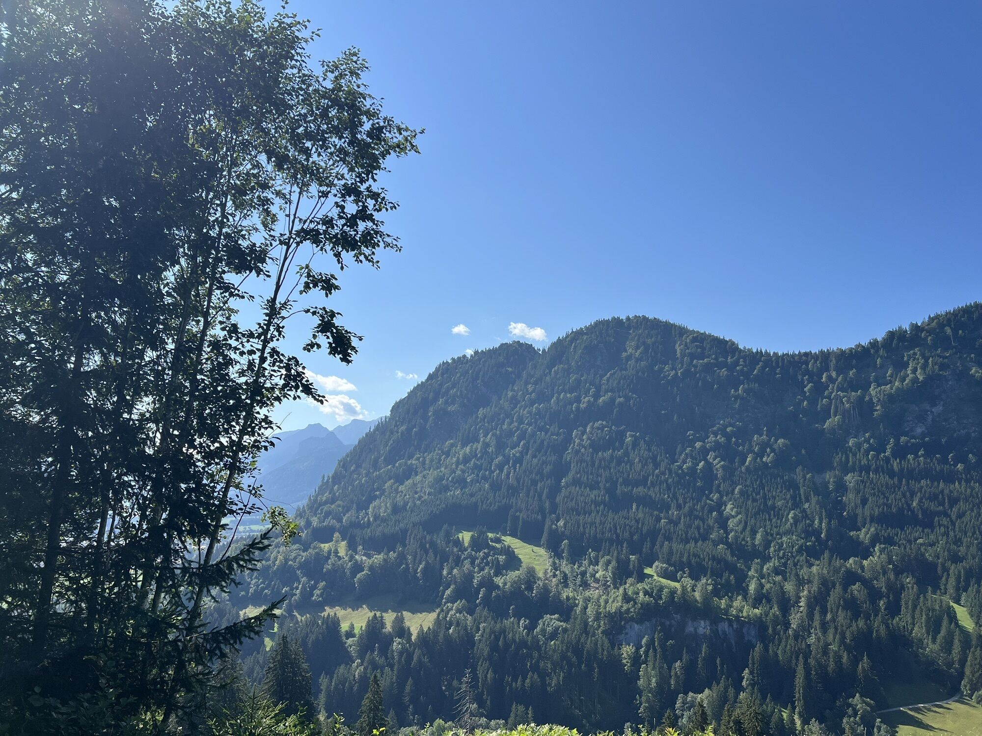
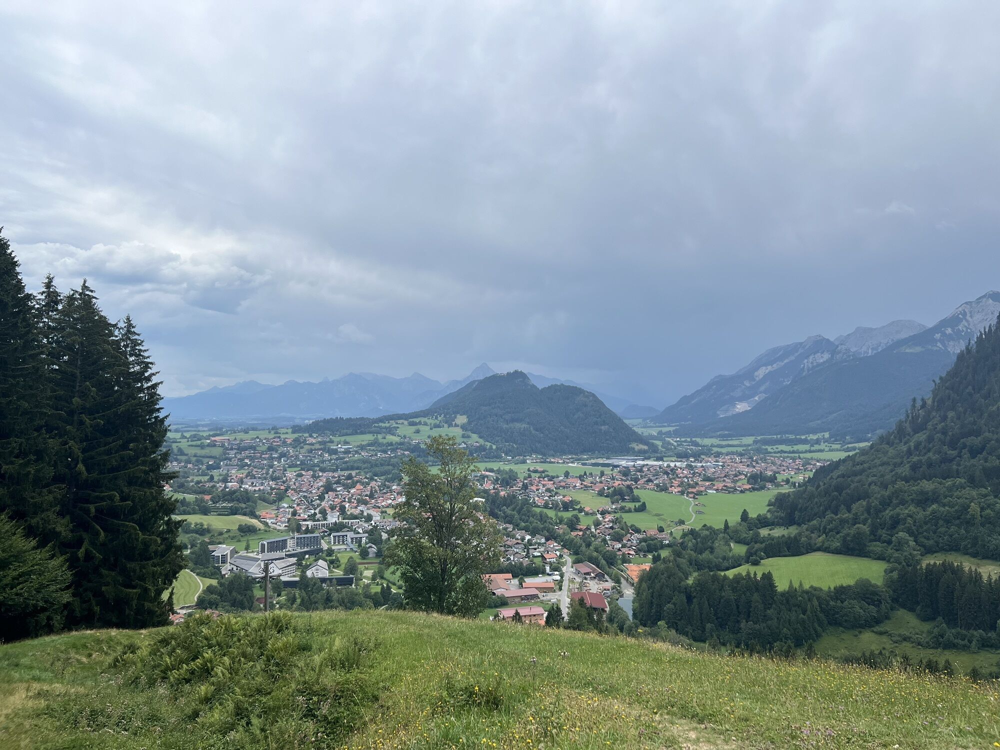
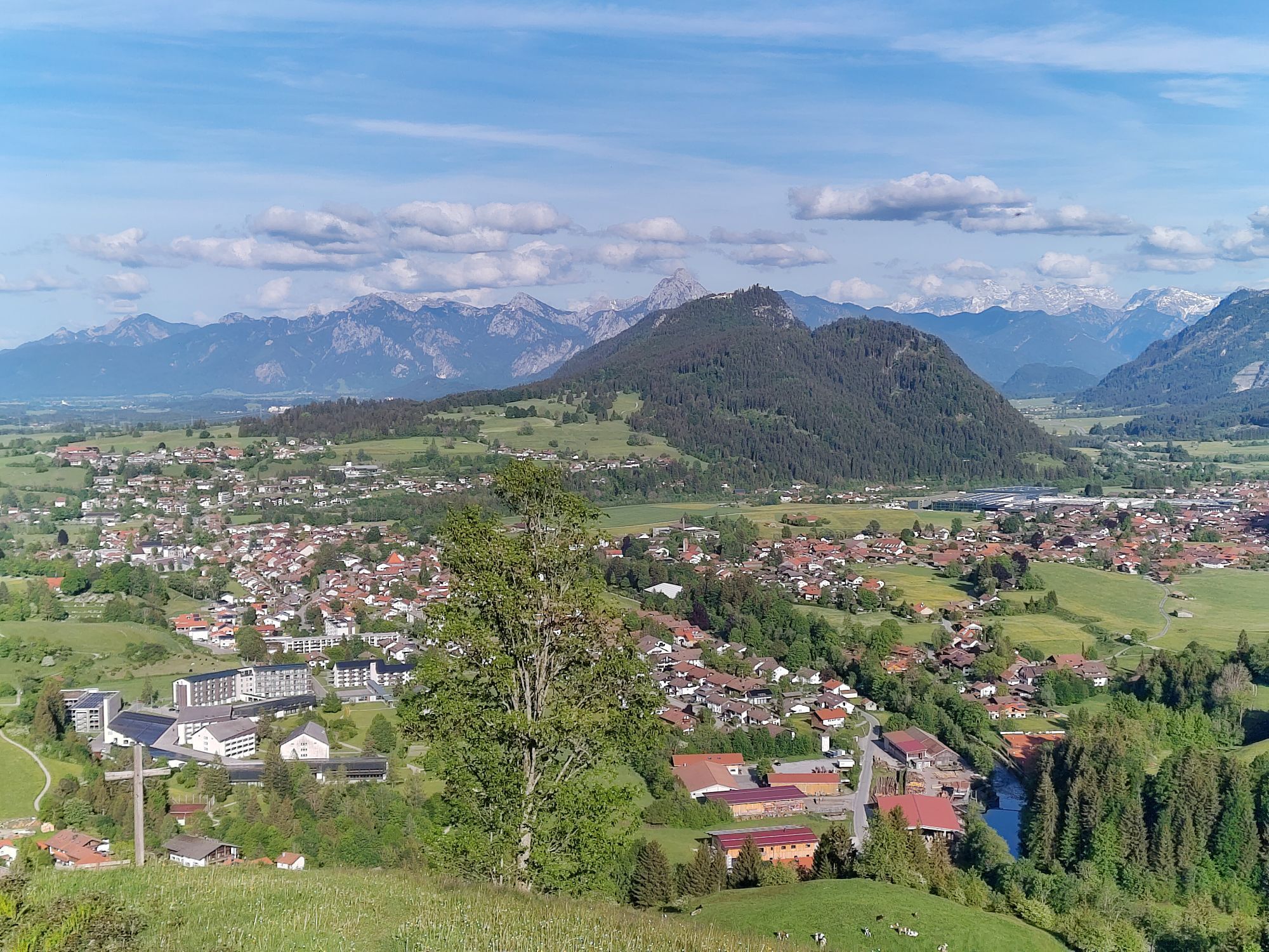
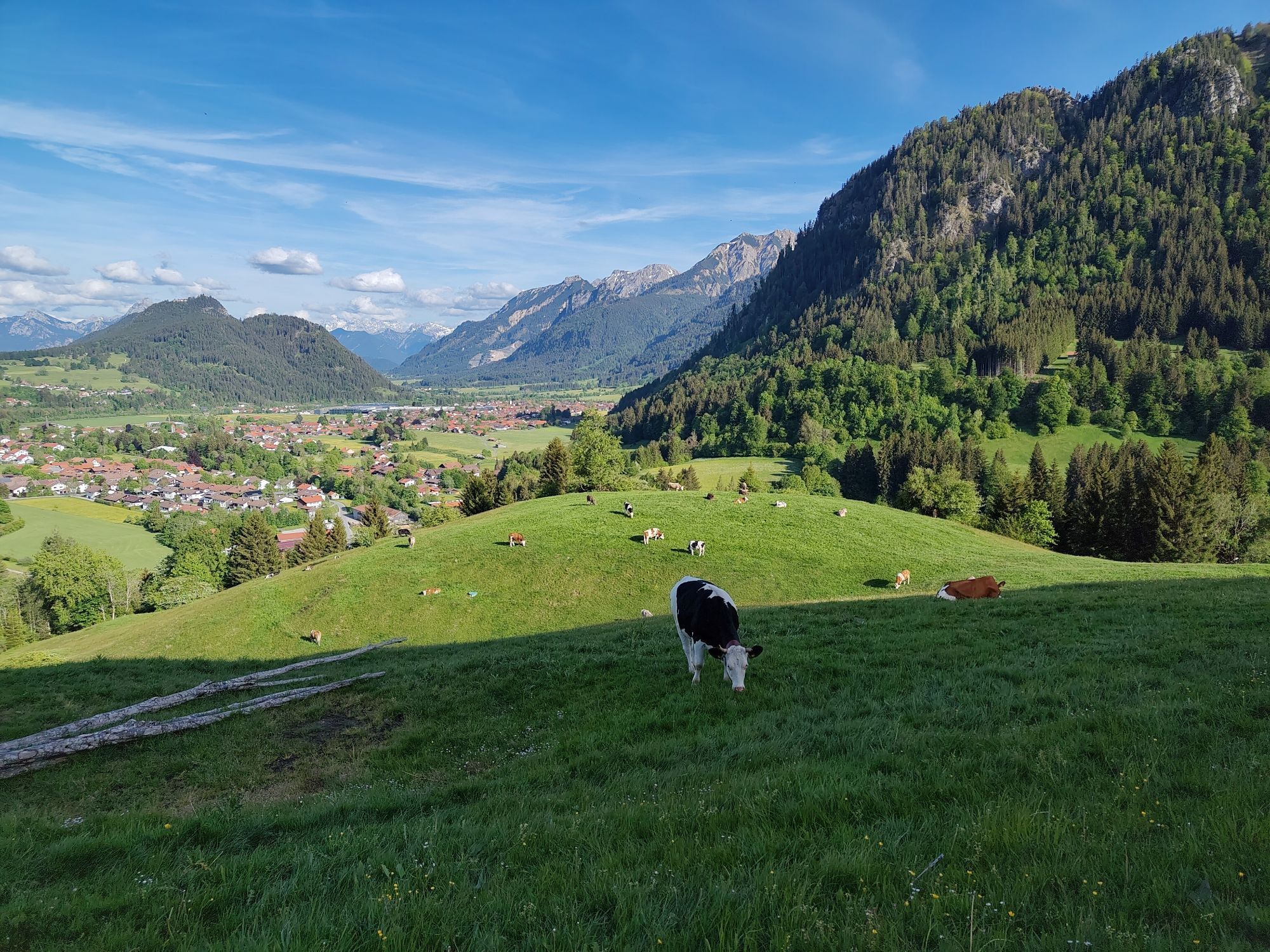
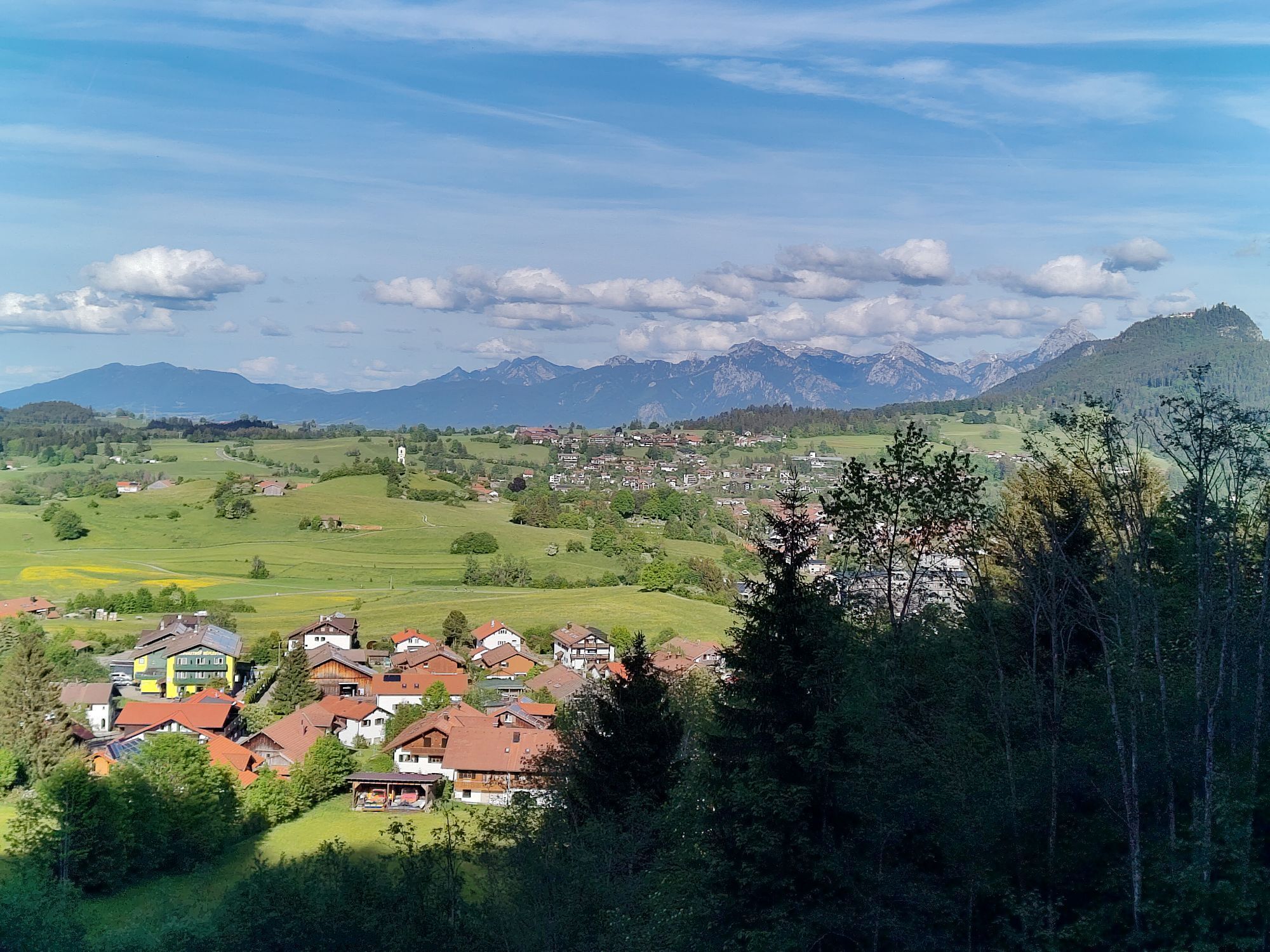
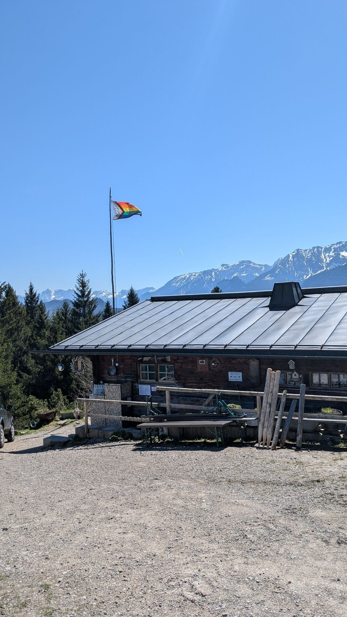
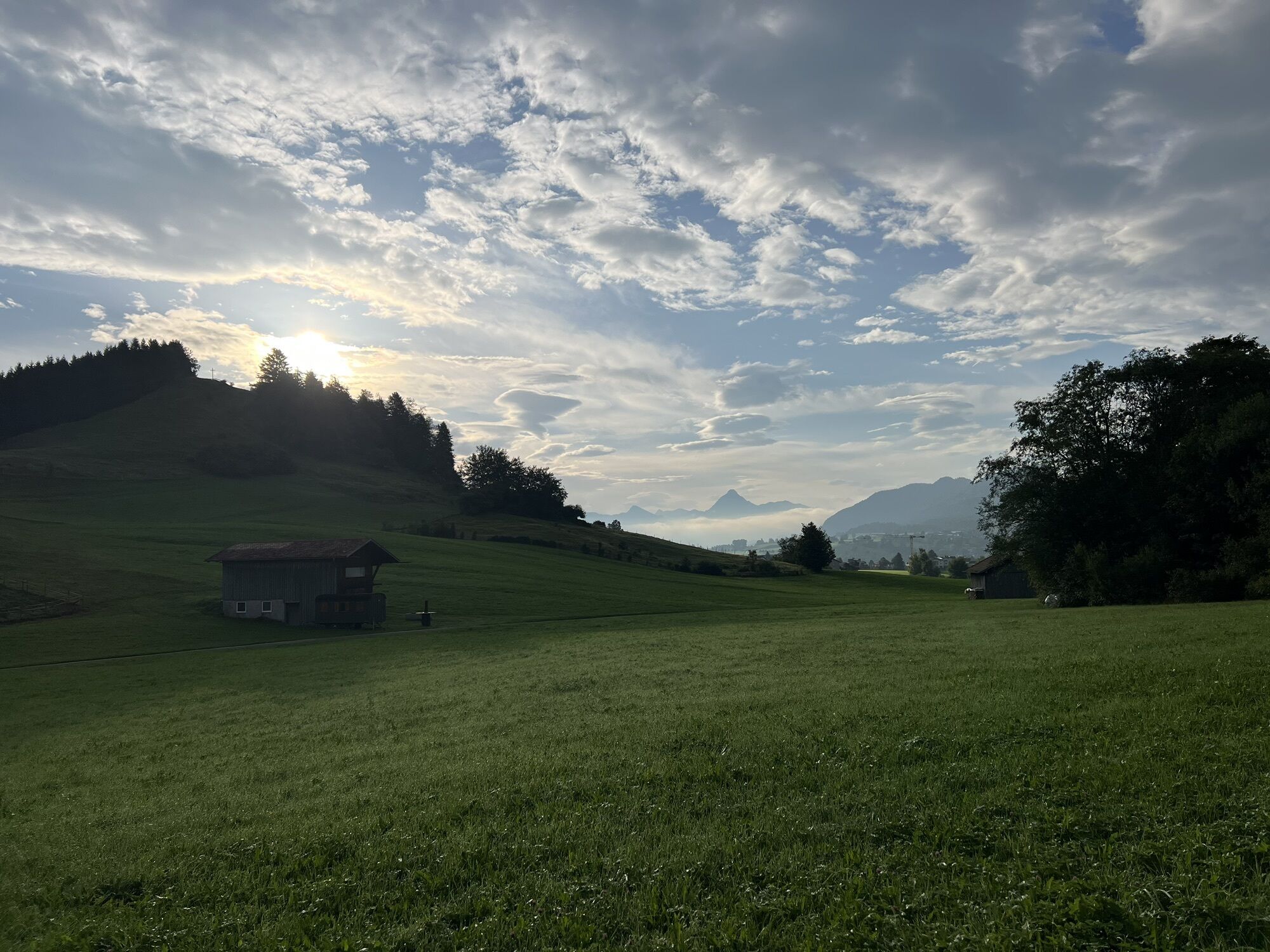
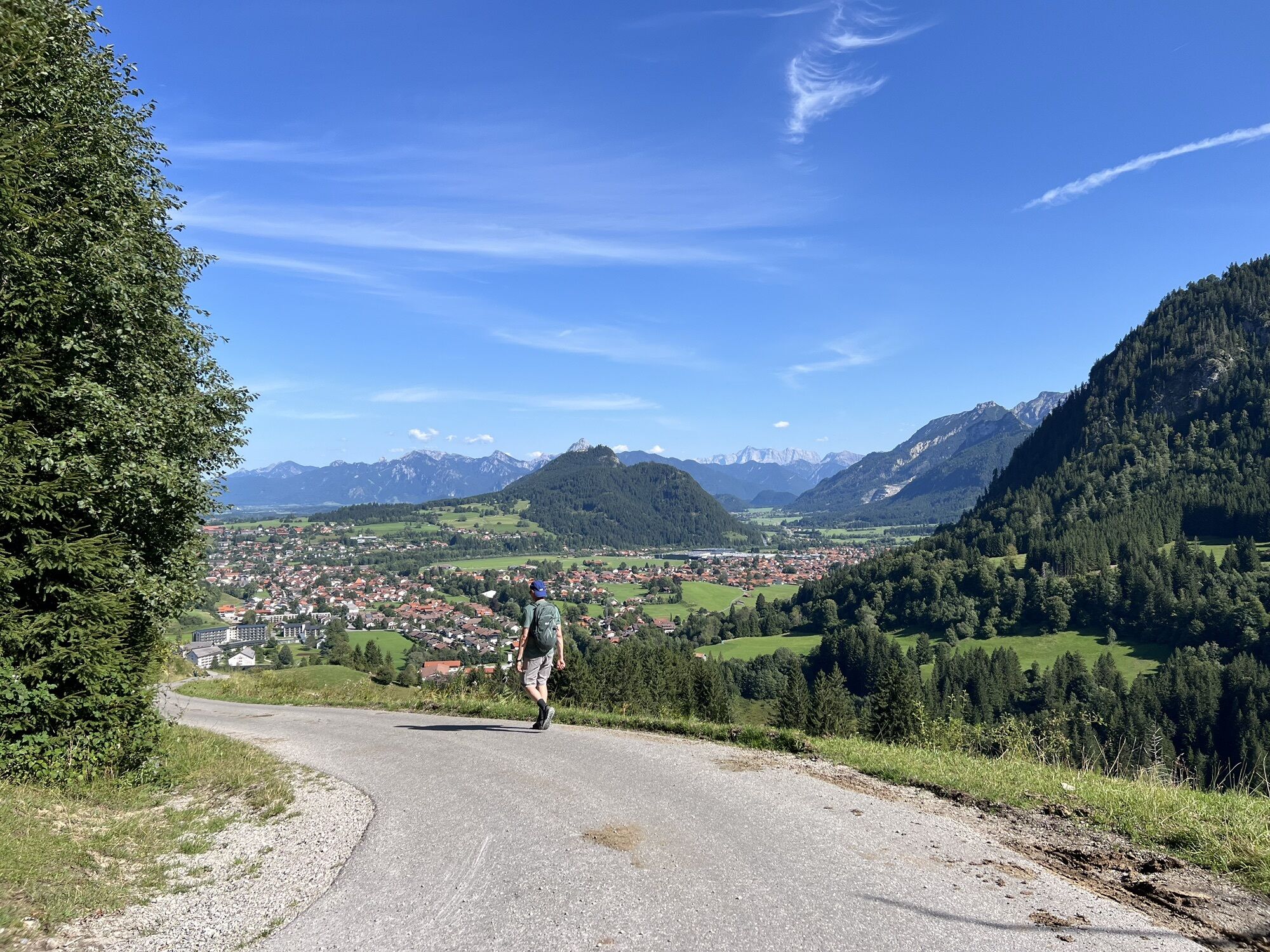
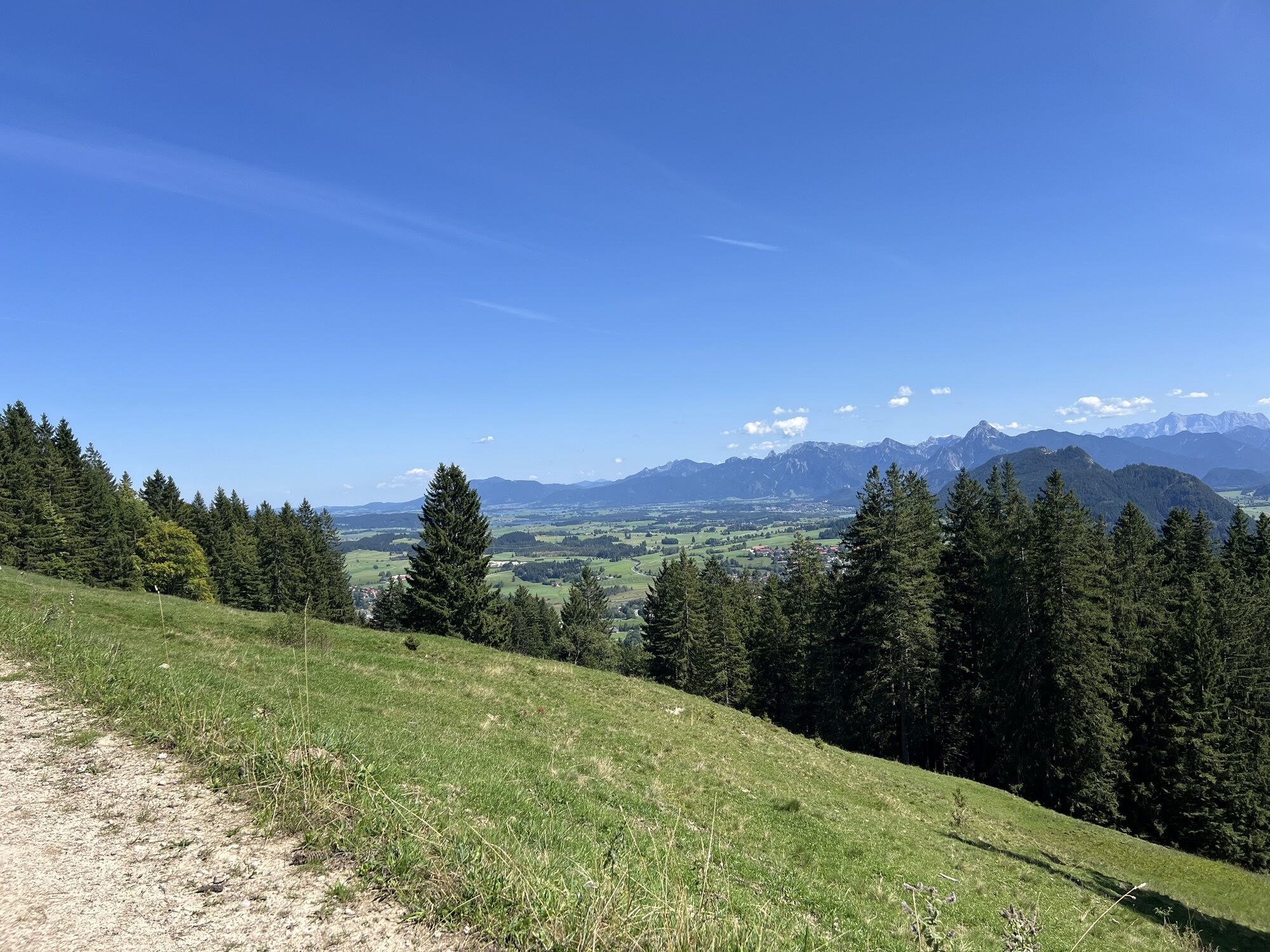
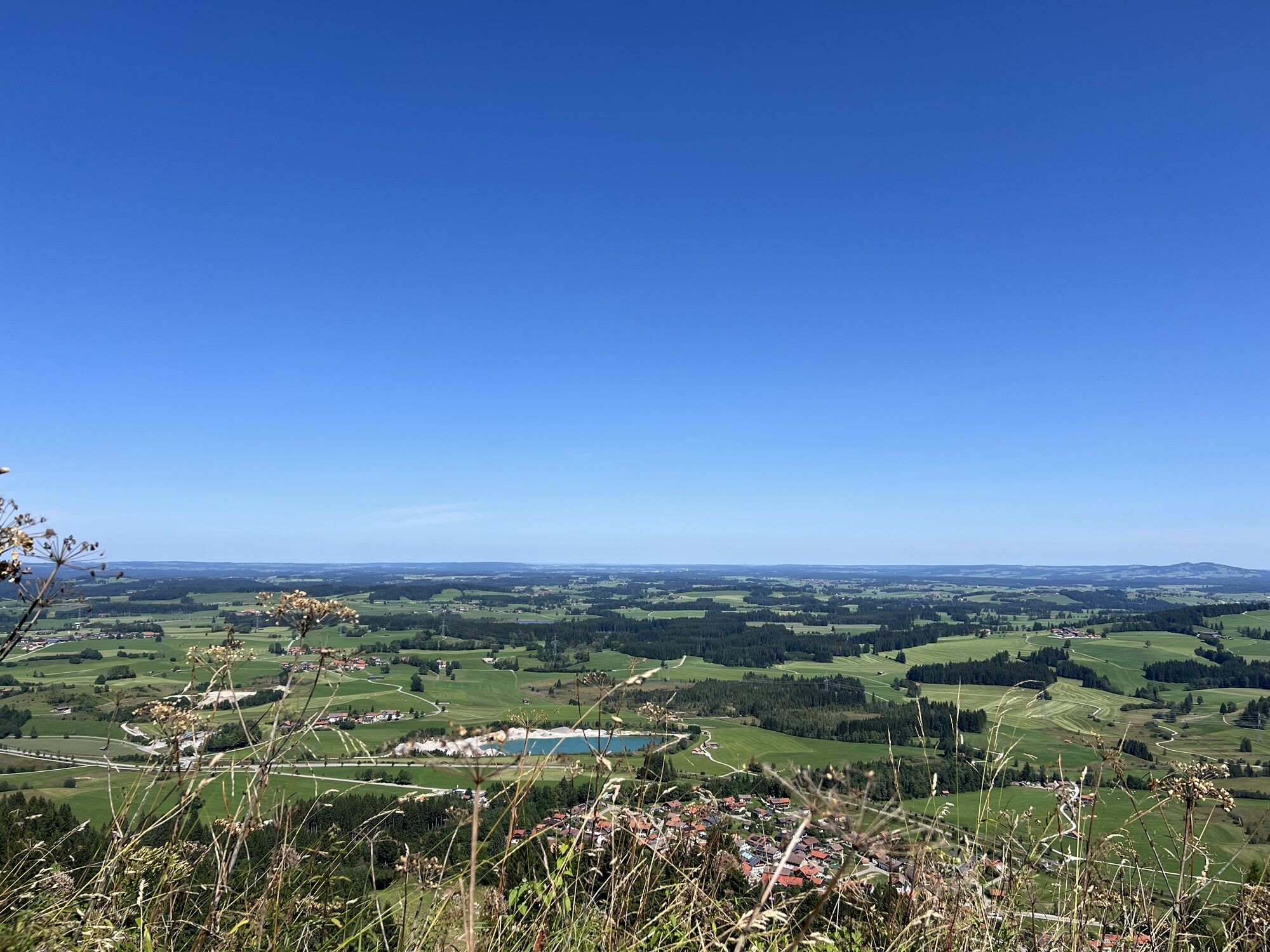

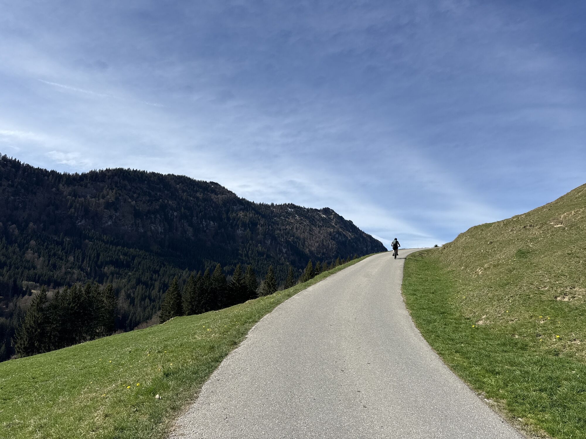
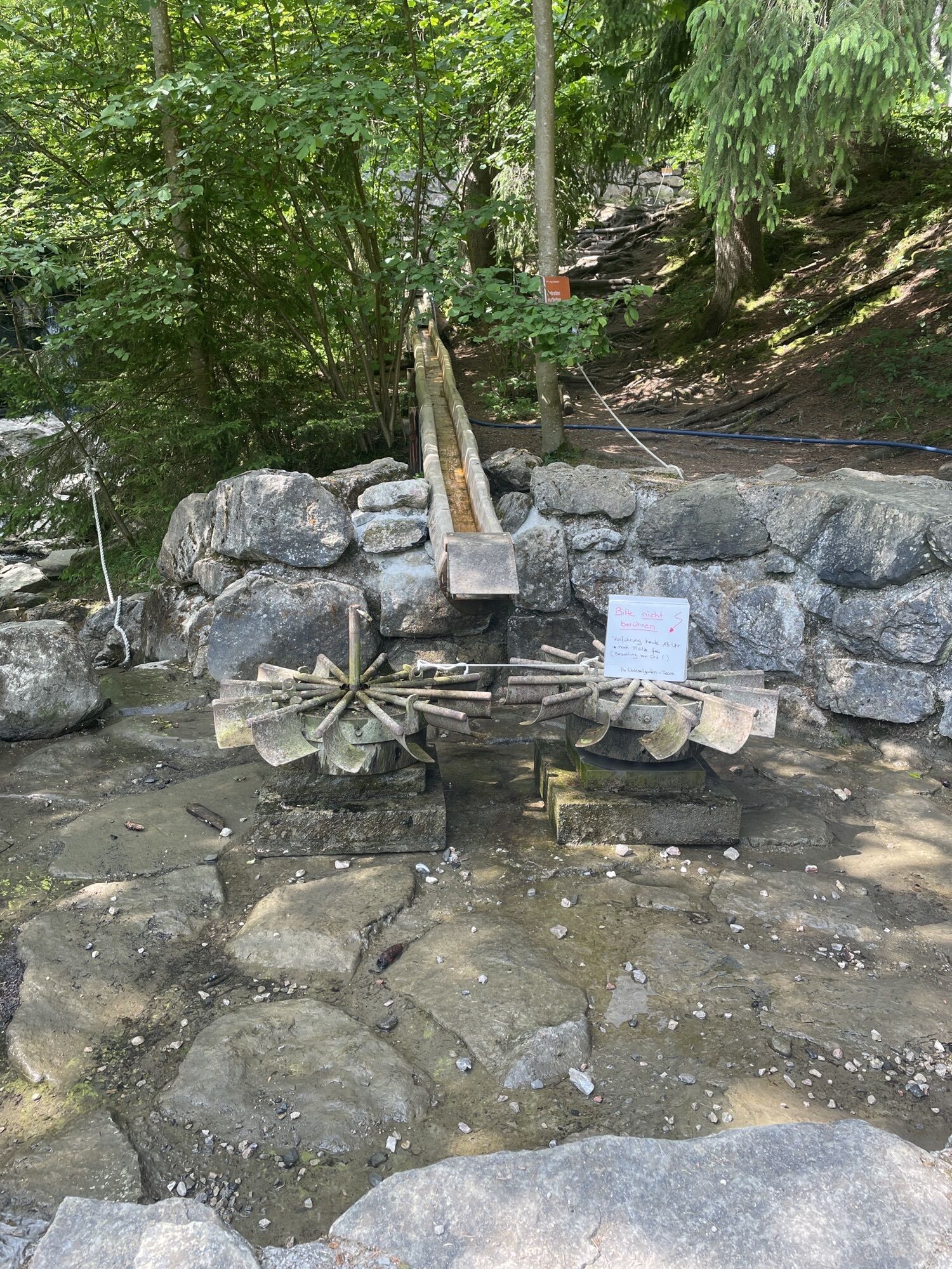

The route starts in Pfronten-Röfleuten, where you follow the path upwards towards Edelsberghütte (formerly Gundhütte). A signposted path on the right side leads you further over the snowfields on Edelsberg...
The route starts in Pfronten-Röfleuten, where you follow the path upwards towards Edelsberghütte (formerly Gundhütte). A signposted path on the right side leads you further over the snowfields on Edelsberg and to the Hündeleskopfhütte. The descent takes place via Kappel. From there you can get back to Röfleuten via the Einfängweg.

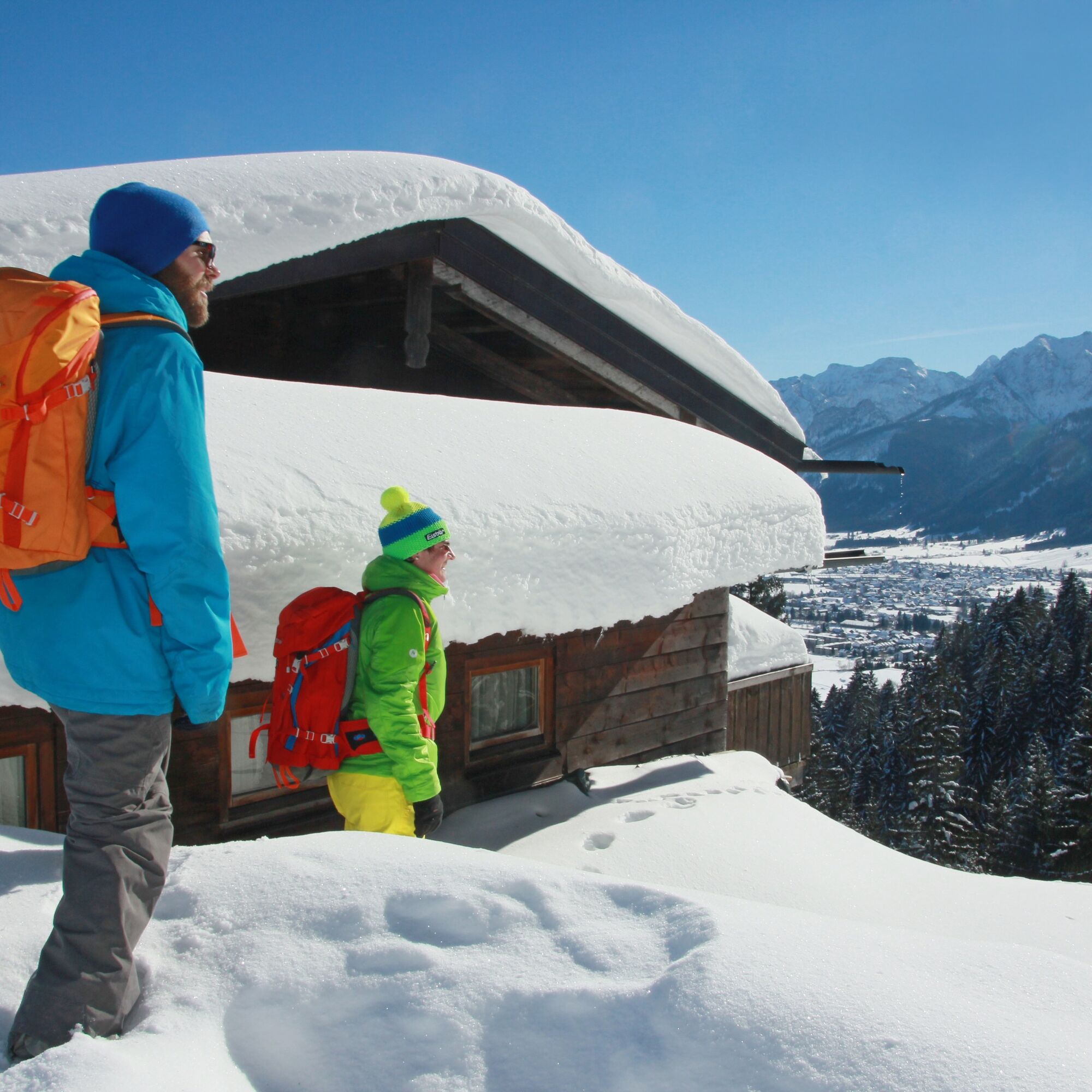
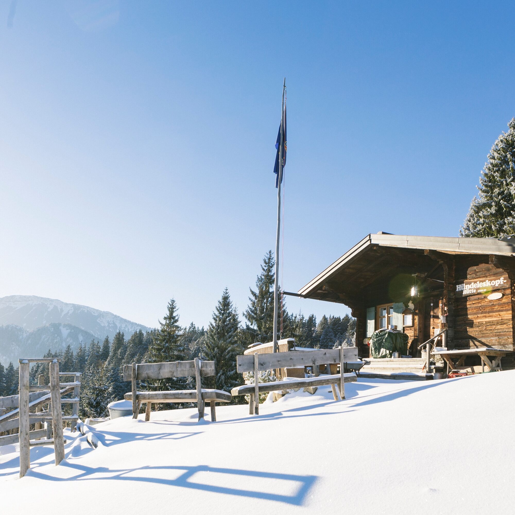
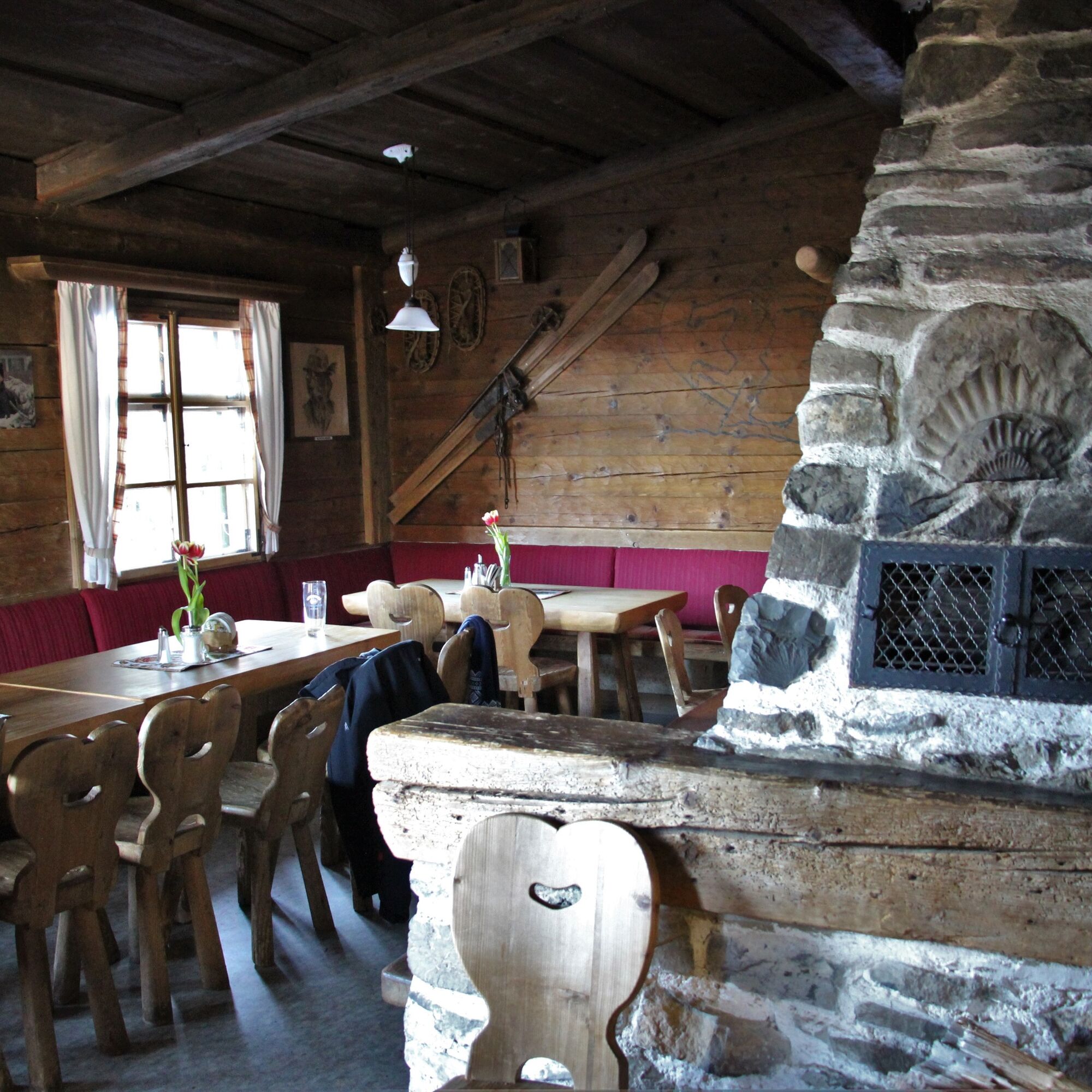
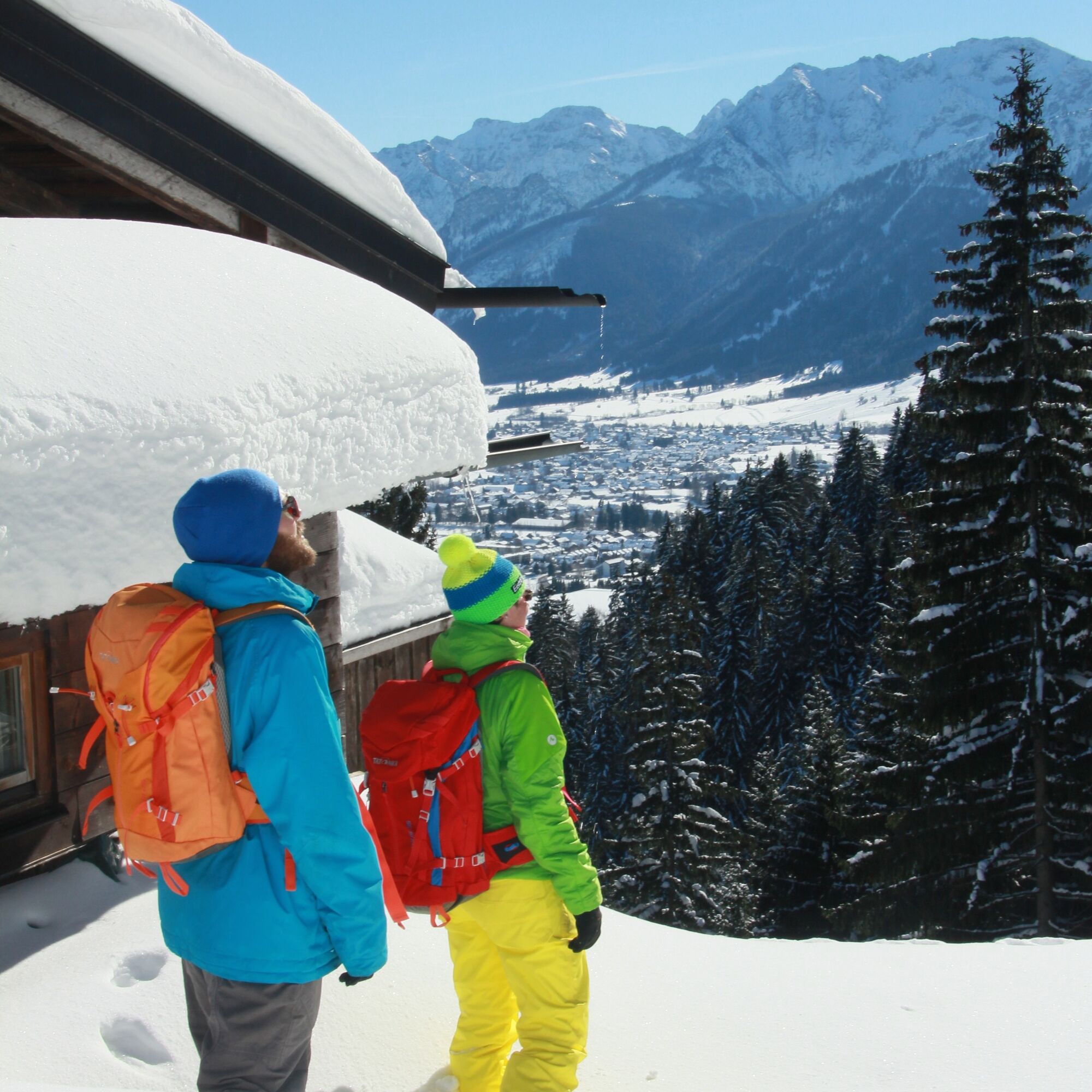
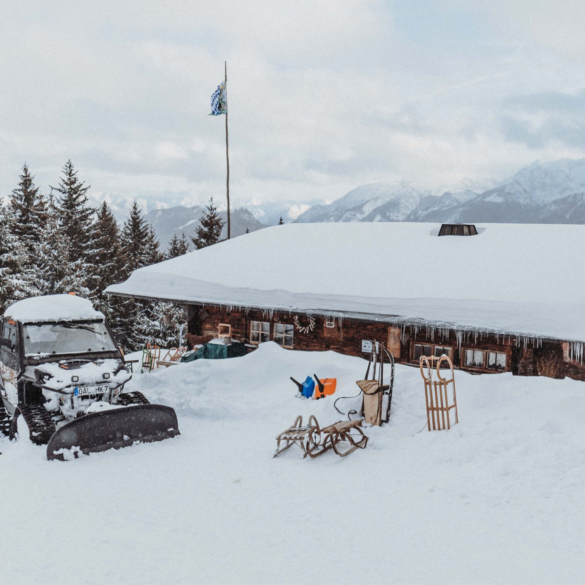

Starting at the hiking parking lot Pfronten-Röfleuten, the path leads over the Edelsberg towards Gundhütte. After the first big ascent, follow the signs on the right side towards Hündeleskopfhütte. The descent goes via Pfronten-Kappel. From there, the path leads back to Pfronten-Röfleuten.
Weatherproof clothing, change of clothes and sunscreen if needed.
TIPS FOR SAFE WINTER HIKING
• Use the signposted hiking trails
• Check the weather before the route
• Consider the shorter daylight hours in winter
• Wear sturdy footwear and crampons if needed
• Dress in winter-appropriate clothing
• Take a hiking map with you
• Pack first aid kit and mobile phone
• European emergency number: 112
B309 - Röfleuter Weg or B309 - Vilstalstraße - Peter-Heel-Straße - Edelsbergweg
Public transport to Pfronten-Röfleuten "Im Lus"
Free parking at the town exit in Pfronten-Röfleuten
Guided snowshoe hikes, including through alpine terrain, can be booked with the professionals of the Pfronten outdoor agencies at www.pfronten.de/outdoor.
Webové kamery z prohlídky
-
Skizentrum Steinach / Pfronten
-
Pfronten-Halden / Hotel Zugspitzblick
-
Pfronten - Boutique Hotel Blaue Burg Falkenstein
-
Nesselwang - Alpspitzbahn Mittelstation
-
Pfronten - Ostlerhütte
-
Eisenberg - Burgruine
-
Nesselwang - Alpspitzbahn Sportheim Böck
-
Nesselwang - Alpspitzbahn Talstation
-
Breitenbergbahn - Pfronten
-
Pfronten - Skizentrum
Získejte přehled
Vždy živě na místě s více než 9 500 webkamerami. bergfex Jako uživatel Pro si nyní můžete zobrazit odpovídající webové kamery pro mnoho prohlídek v aplikaci prohlídky z. Můžete si tak přímo prohlédnout aktuální podmínky.
Oblíbené prohlídky v okolí
-
4.7
Around Weißensee
světloTuristika 6.12 km -
5.0
Hiking tour to Breitenberg
heavyTuristika 15.6 km -
4.9
Gemeinde Grän, Tirol/Österreich Aggenstein Rundtour über Höhenweg
středníTuristika 9.84 km -
4.8
To the Bad Kissinger Hut via the Gräner Höhenweg
středníTuristika 13.0 km -
4.7
Panorama route to the Ostlerhütte
středníTuristika 5.11 km -
4.8
Iseler und Kühgundkopf
středníTuristika 7.63 km -
4.7
3-Gipfel-Tour
středníTuristika 11.2 km -
4.5
Durchs Schneetal zum Hahnenkamm
středníTuristika 14.1 km -
4.6
Mountain hike to the Aggenstein
heavyTuristika 15.3 km -
4.8
Bad Hindelang, Hinterstein, Deutschland
středníTuristika 14.1 km
Pěší turistika a stopování


Nenechte si ujít nabídky a inspiraci pro vaši příští dovolenou
Vaše e-mailová adresa byl přidán do poštovního seznamu.





