





Alpsee-Grünten cycling circuit | Alpgärten variant
Úroveň obtížnosti: 3
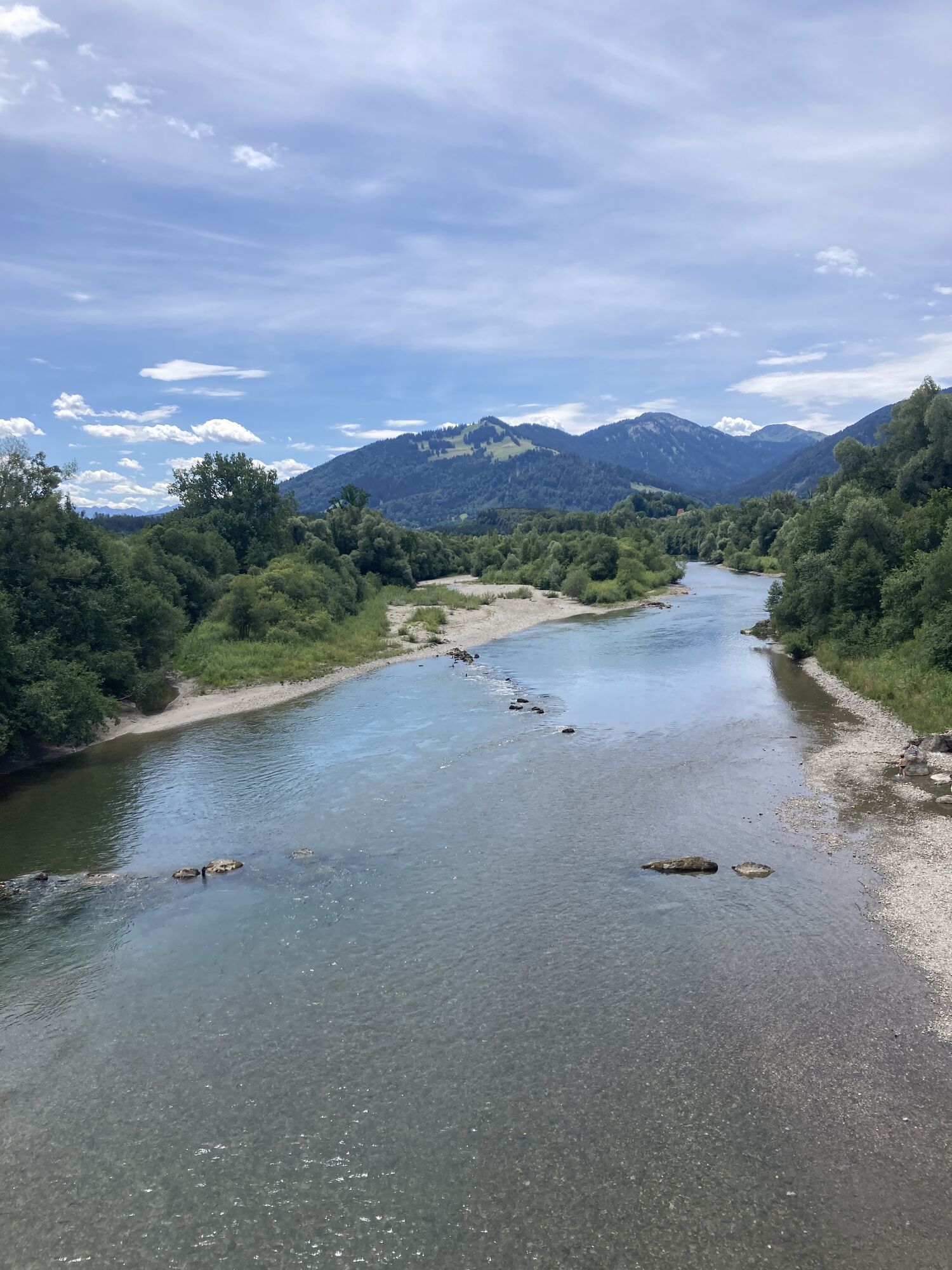
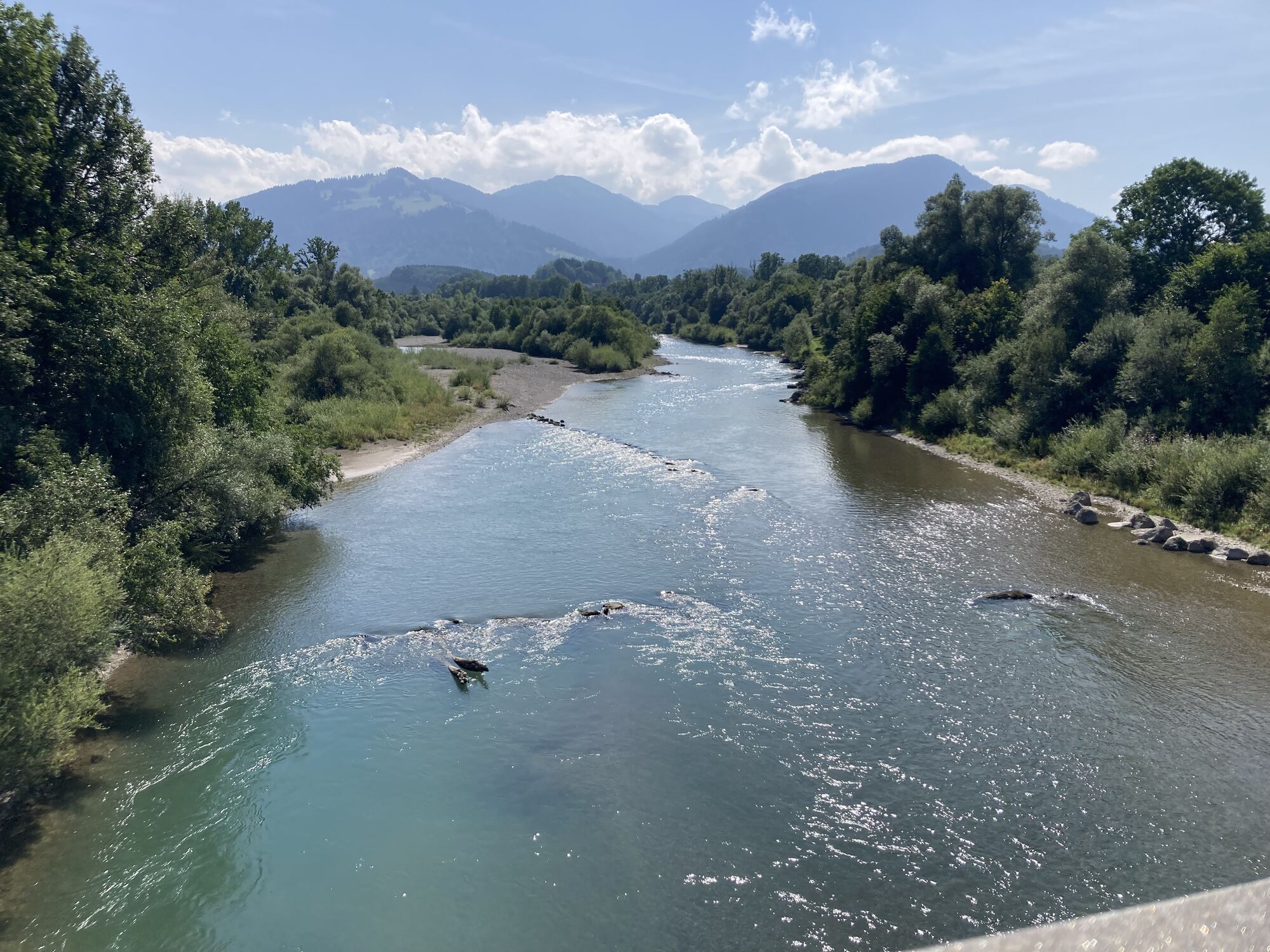
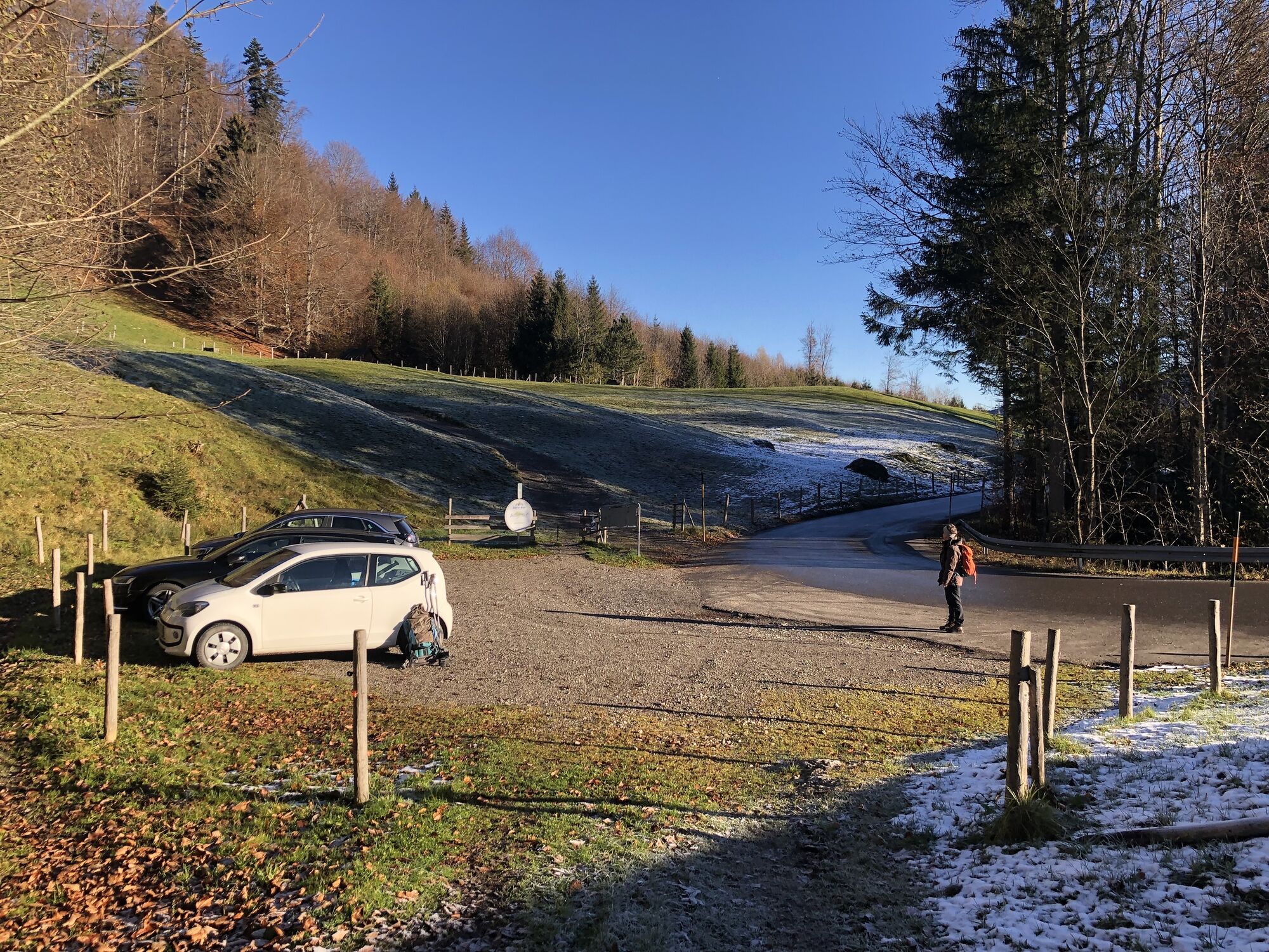
The route starts at the Freibad Kleiner Alpsee parking lot and leads you to Bühl. You pass through the village and follow the switchbacks uphill to Zaumberg. Once you have left this village behind, take...
The route starts at the Freibad Kleiner Alpsee parking lot and leads you to Bühl. You pass through the village and follow the switchbacks uphill to Zaumberg. Once you have left this village behind, take the turnoff to Luitharz. Then you pass through Akams and follow the road downhill to Bräunlings. Don't miss the left turn toward Adelharz at a farmhouse. Continue cycling to Eckarts and Werdenstein. This path gently leads you over a quiet road to Bräunlings and Stein. Past the Steiner village square, you reach the St. Mauritius Church; after this church, turn left and cycle onto the Iller Cycle Path. Continue to Untermaiselstein and Rettenberg. Across Weiher, you reach the Goimoos roundabout, from where you continue along the Birch Avenue to Häuser and Ortwang. Cross the bridge on the right and cycle further along the Iller Cycle Path past Blaichach to Bihlerdorf. Arriving in the town, cycle uphill through Halden to Gunzesried. The next stage takes you to Ettensberg and via Altmummen back to Immenstadt.

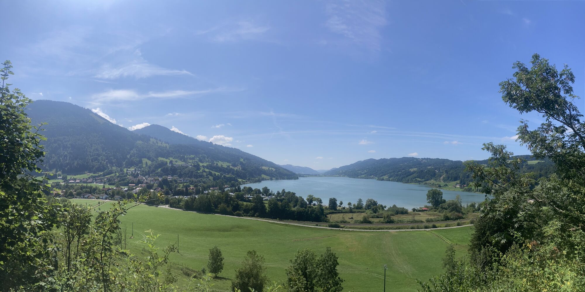
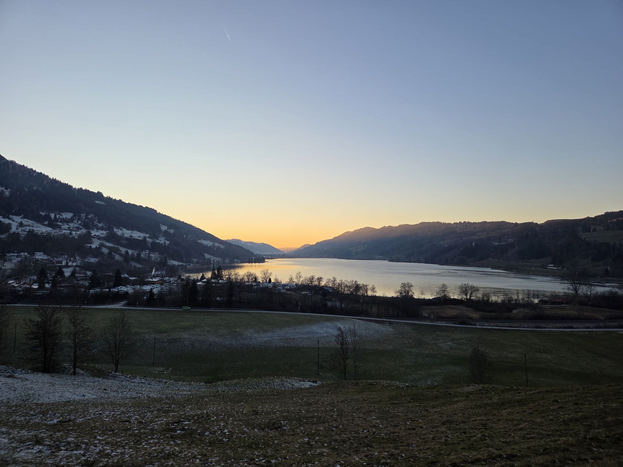
The start is at the Freibad Kleiner Alpsee parking lot. From there, you enter the village of Bühl. Turn right onto Fischerweg, which leads you to Hotel Rothenfels. From here, the path climbs steeply in switchbacks up to Zaumberg. Be careful here, as the short section on the main road is very busy. Soon on the left, you will have a beautiful view of the Große Alpsee.
After leaving Zaumberg behind, you soon reach the right turnoff to Luitharz. Here it becomes quieter, and on your way to Akams, you can enjoy the great view of the Allgäu mountains. You pass through the village of Akams and follow the road downhill toward Bräunlings. Despite the leisurely "coasting," watch for the inconspicuous left turn to the village of Adelharz. This part is only accessible from spring onward!
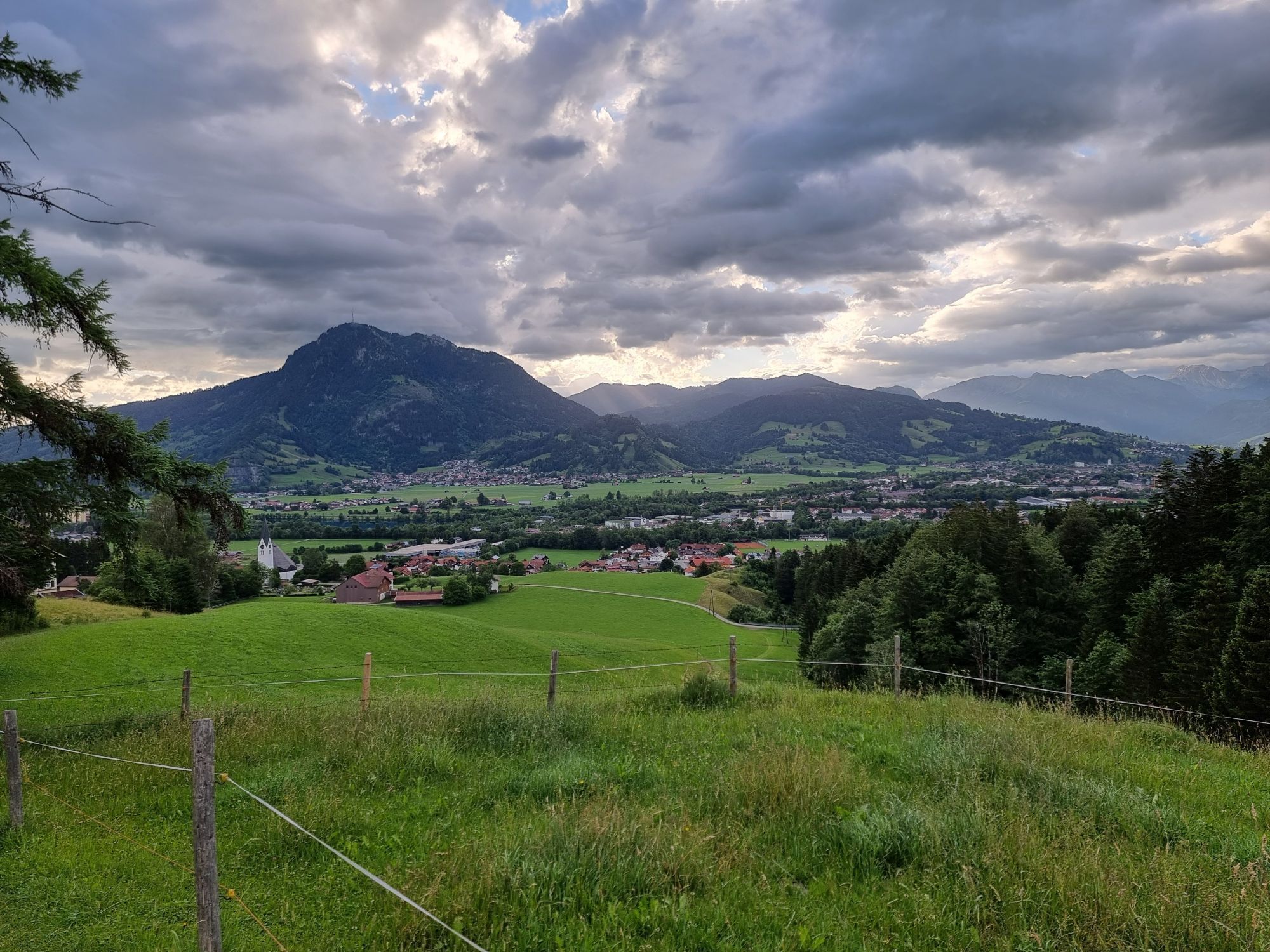
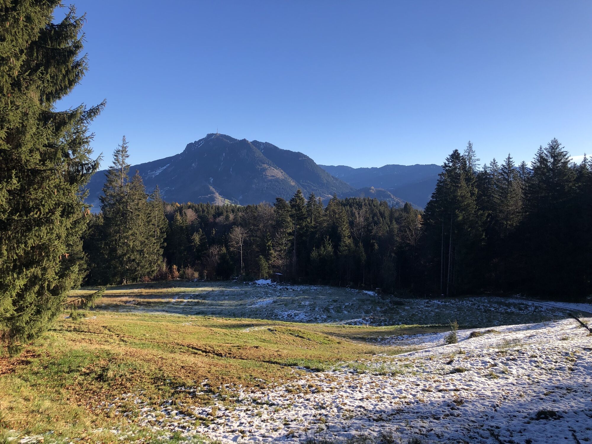
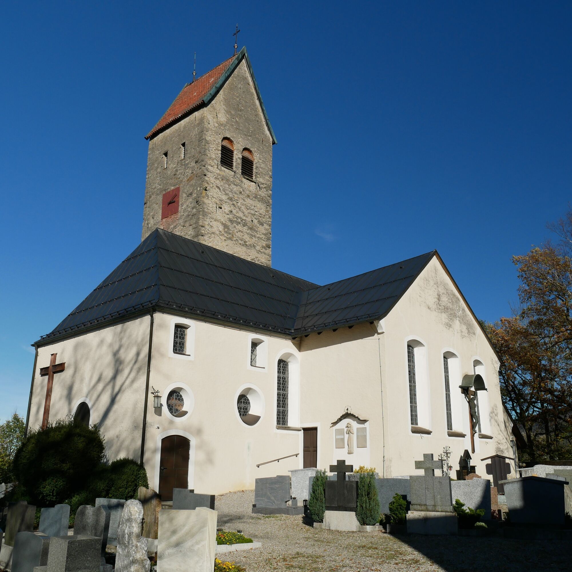
Follow the signs to Eckarts to continue cycling to Werdenstein. Here, it is worthwhile to stop at the Burgcafé Werdenstein with a view of the Allgäu's guardian—the Grünten. The path then gently leads you over a quiet road from Bräunlings to Stein. Here you come across a gas station, where you turn right and then shortly afterward turn left again. Past the Steiner village square, you reach St. Mauritius Church. After the church, turn left and join the well-known Iller Cycle Path. Follow it to the left until you can turn right over the Iller bridge to Untermaiselstein. Visit the Untermaiselstein dairy or the Bat Lake, where you can watch the flying artists from the wooden tower.
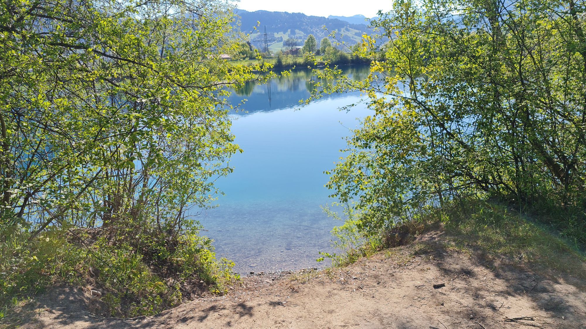
Continue by following the signs toward Rettenberg. If you want to extend your round, the Panoramalogen variant starts in Rettenberg. You pass through the village of Weiher and reach the main road between Rettenberg and Burgberg, which you follow downhill along the cycle path. At the roundabout, keep right and cycle through the Birch Avenue. At the parking lot, turn left toward Häuser and continue to Ortwang. For even more cycling fun, the Sonthofen round "Bergwelten variant" starts here. Although the Ortwang quarry lake is very cold, it is one of the cleanest lakes in the region. So, swimsuit on and dive into the cool water!
A footbridge takes you to the other side of the Iller. The Iller Cycle Path passes Blaichach and continues to Bihlerdorf. If you haven't had enough swimming yet, you can cycle a short distance to the Sonthofen Lake. With a detour through Bihlerdorf, turn left and uphill through Halden to Gunzesried. Here you will find the next dairy with tasty cheese and homemade ice cream. A detour into the cool Haldertobel invites you to pause and rest your feet along the further course of the cycle tour.
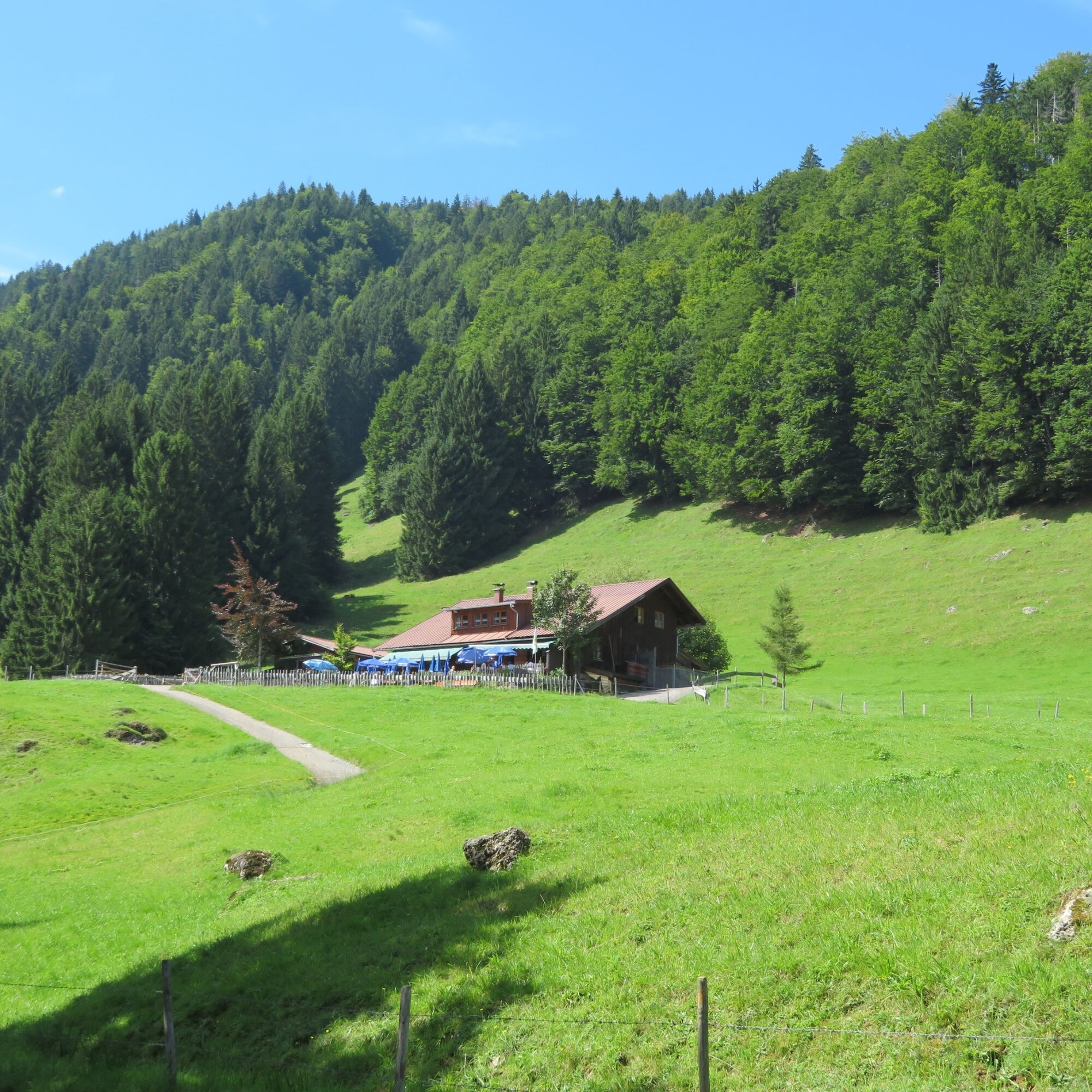
After a short break, continue to Ettensberg. Halfway there, you will find the Sennalpe Derb on the left, ideal for a rest with homemade cheese. Enjoy the mountain panorama with a regional snack in the glorious midday sun. Then you roll relaxed downhill through the small village Altmummen into the valley and back to the residential town Immenstadt. Follow the signs to the center, where you can enjoy coffee at Marienplatz. Via Badeweg toward Große Alpsee, you return to the starting point.
Battery empty? No problem! Feel free to stop by the Nagelfluhkette Nature Park Center at Seestraße 10 and recharge your e-bike for free! Meanwhile, the beer garden of our nature park café invites you to enjoy fine cake and hot coffee.
Adequate fitness
Suitable clothing (depending on weather)
Sufficient drinking and food
First aid kit
Bicycle pump
Bicycle lock
Parking lot Alpsee 1 (between Immenstadt and Bühl, on the B308)
Parking lot Viehmarktplatz
3
Places to eat and drink: Lustiger Hirsch (Akams), Burgcafé (Werdenstein), Café Zenzimilia (Gunzesried)
Cheese sales: Sennerei Gunzesried, Sennalpe Derb
Webové kamery z prohlídky
-
Segelclub Alpsee
-
Bergstation Ofterschwang
-
Talstation Ossi-Reichert Bahn
-
Segelclub Alpsee
-
Mittaggipfel
-
Sonthofen - Panzer & Braun Tiefbau
-
Petersthal am Rottachsee
-
Petersthal am Rottachsee
-
Grünten
-
Grünten
-
Grünten
-
Grünten
-
Grünten
-
Ofterschwang - Allgäuer Berghof
-
Missen-Börlas
-
Ortsansicht Missen
-
Blaichach - Gunzesried
-
Alpsee Bergwelt
-
Alpsee Bergwelt
-
Alpsee Bergwelt - Bärenfalle
-
Allgäuer Berghof - Erlebnishof
Získejte přehled
Vždy živě na místě s více než 9 500 webkamerami. bergfex Jako uživatel Pro si nyní můžete zobrazit odpovídající webové kamery pro mnoho prohlídek v aplikaci prohlídky z. Můžete si tak přímo prohlédnout aktuální podmínky.
Oblíbené prohlídky v okolí
-
3.9
Klassikertour: Auf den Grünten
heavyTuristika 8.50 km -
4.4
Wanderung auf den grünten
středníTuristika 8.31 km -
4.4
3-Gipfel-Tour bei Sonthofen im Allgäu
středníTuristika 11.4 km -
4.3
Starzlachklamm
středníTuristika 5.30 km -
4.2
Hirschberg 1456 m
středníTuristika 8.28 km -
4.7
Von Obergschwend auf Wertacher Hörnle
středníTuristika 10.0 km -
4.6
Wanderung auf den Sonnenkopf
středníTuristika 6.60 km -
5.0
Nagelfluh ridge route Hochgrat - Mittag
heavyTuristika 14.0 km -
4.7
Rindalphorn und Hochgrat
středníTuristika 15.6 km -
4.5
Wertacher Hörnle
středníTuristika 12.4 km
Pěší turistika a stopování


Nenechte si ujít nabídky a inspiraci pro vaši příští dovolenou
Vaše e-mailová adresa byl přidán do poštovního seznamu.





