


Bike circular route over the heights of the Spessart
Úroveň obtížnosti: 2
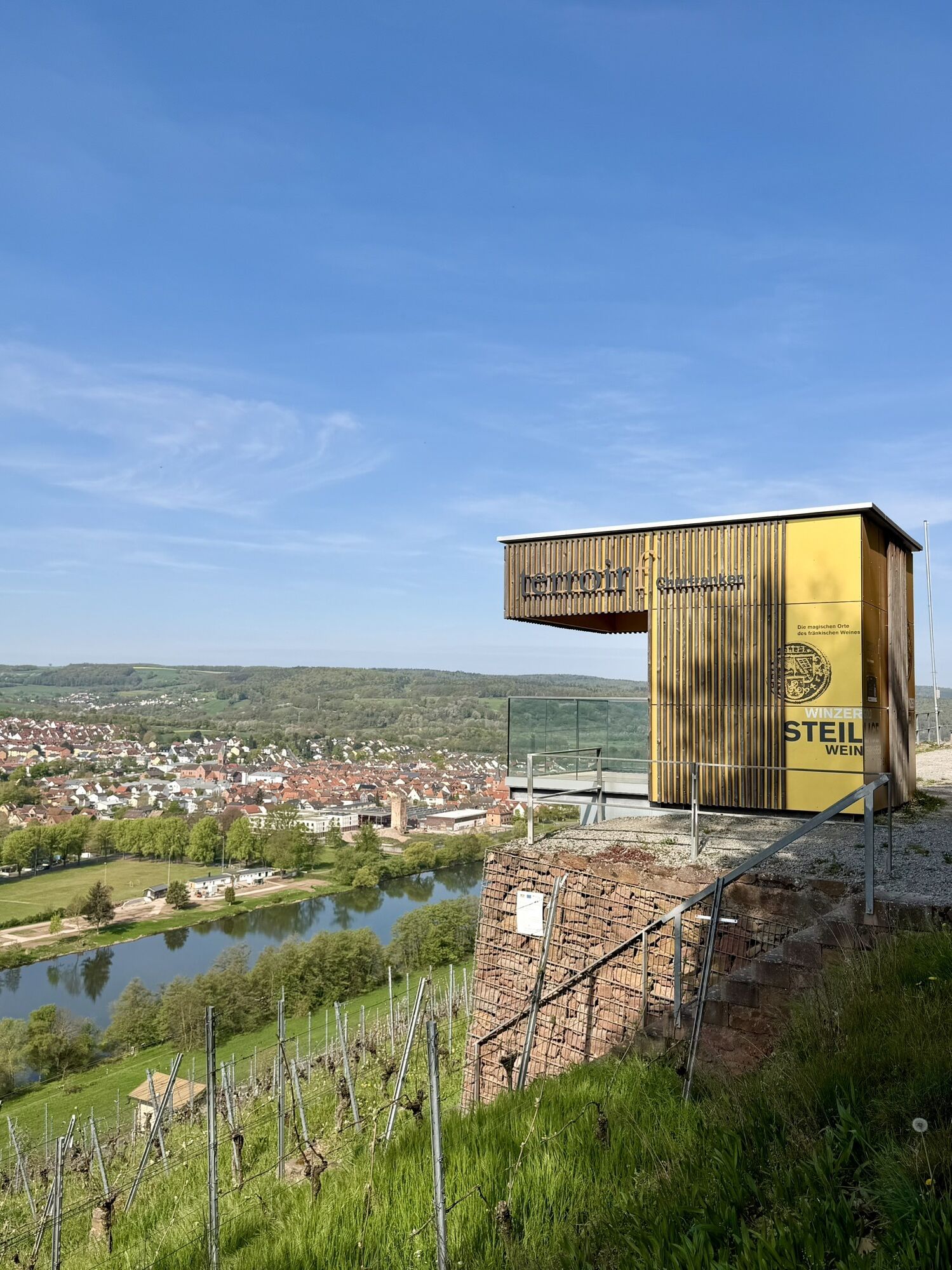


We cycle from Erlenbach along State Road 2309 to Klingenberg-Röllfeld, from where we have a magnificent view of the Clingenburg ruins (1). We then cycle on the Main bike path to Großheubach. There we turn northeast. On the right side, we see Engelberg with its famous Franciscan Monastery (2). We now ride on well-developed agricultural roads via Klotzenhof to Röllbach and further towards Mönchberg.
At the entrance to Mönchberg, we cycle via Kirschnerweg into Golfstraße. At the intersection of Frakenstraße/Am Brunnenweg, we turn left into Neugasse. We continue straight on this street and then turn left into Frühlingsstraße. Now we cross the main road and cycle further into Untere Dorfstraße. We then turn right into Mechenharder Weg.
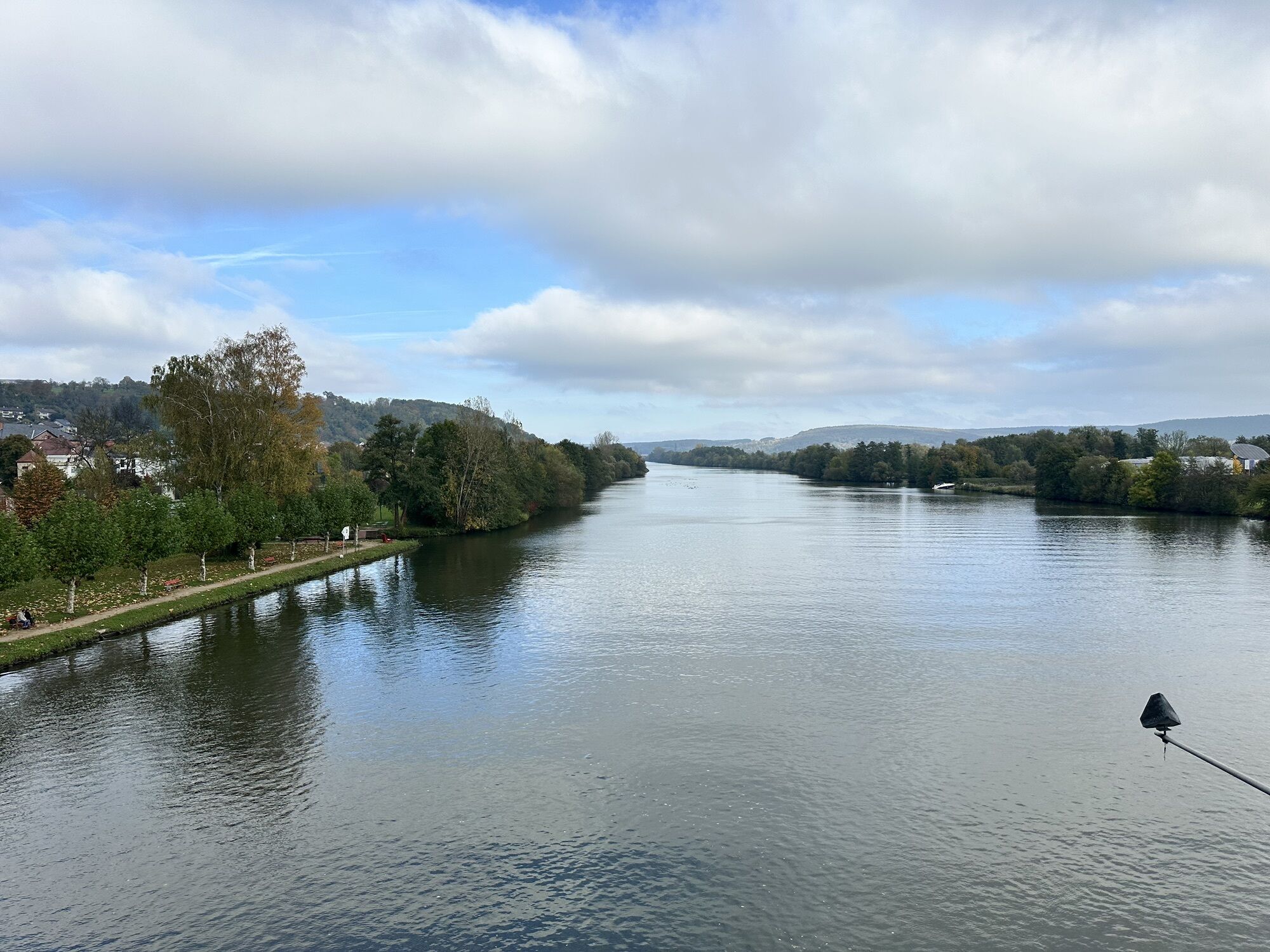
We reach Mechenhard on well-developed agricultural roads and from there ride down into the Elsa valley to Schippach. From there, we cycle back to Elsenfeld on the old railway track. We follow the bike path signage through the town. After crossing the bypass, we get onto Bildstraße to the pedestrian/cyclist bridge over the Main. In Obernburg, the bike path leads on Untere Wallstraße towards the festival grounds (passing the Roman museum (3), among others) and then continues on Ziegelhüttenweg. Along the Main, we now cycle on the bike path to Wörth. We cross the Main on the railway bridge and thus return to the starting point in Erlenbach.
We can also choose a shorter route that leads directly from Mechenhard back to Erlenbach via the district road.
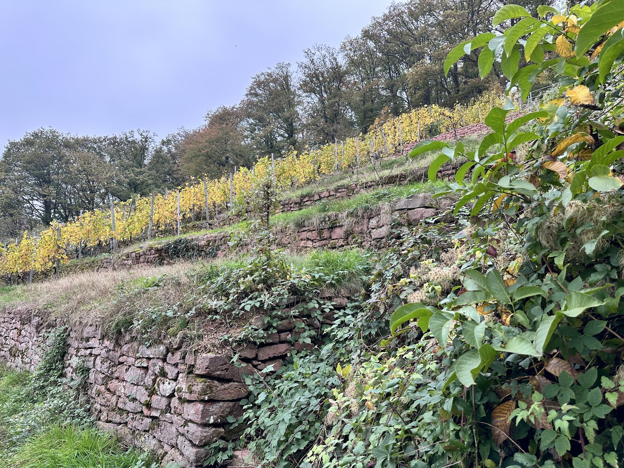
The entire route runs on well-developed, asphalted roads and paths with hardly any motor vehicle traffic. Please note, however, that the path between Erlenbach and Klingenberg runs along the busy state road.
This route can also be ridden with a handbike, but it is very challenging for handbike riders due to the elevation changes.
Trekking/ touring bike or mountain bike with multi-gear shift
coming from Würzburg: A3 to Marktheidenfeld exit, B469 continue towards Aschaffenburg, Klingenberg exit
By train from the direction of Aschaffenburg or the direction of Miltenberg to Erlenbach station
Parking at the train station
2
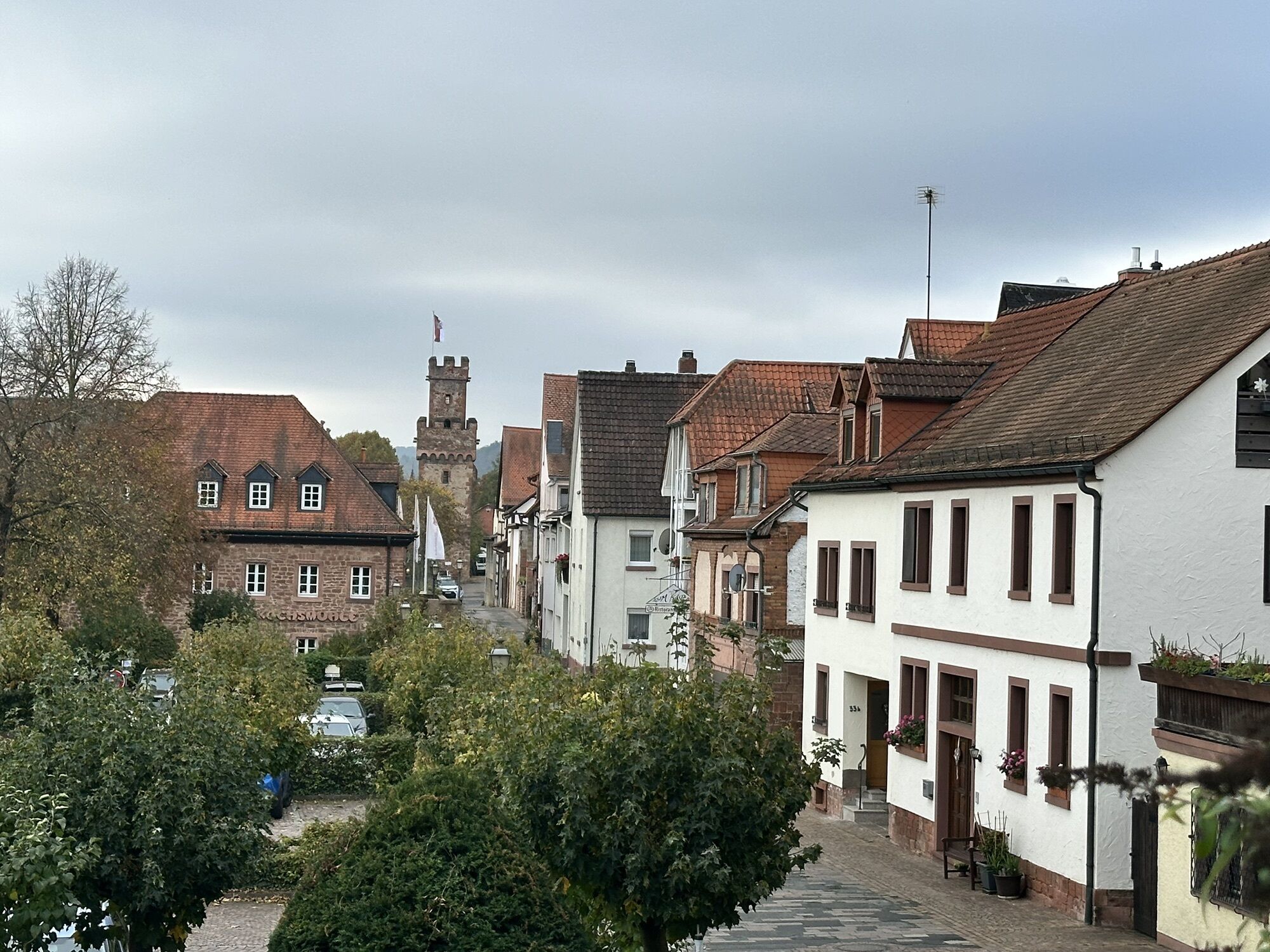
Klingenberg: City Palace in Klingenberg; Großheubach: historic Town Hall; Schippach: Himmelthal Monastery
Oblíbené prohlídky v okolí
"Of Clay, Stones and Shards"
středníTuristika 8.31 km- 5.0
Dorfprozelten: Kollenburg-Chapel-Route
středníTuristika 11.8 km Obernburg - Eisenbach round
středníTuristika 10.7 km- 5.0
Kulturweg Niedernberg: Blechkatzen im Honischland
Turistika 10.2 km - 4.0
European cultural route: "From Hecke to Häcke in Hebboch"
středníTuristika 10.2 km - 5.0
Roman Route in Miltenberg M1
středníTuristika 15.2 km - 5.0
Rüdenau mountain hike R1
heavyTuristika 13.8 km Miltenberg - Engelberg Monastery - Kleinheubach Castle - round trip
heavyTuristika 12.6 kmNibelungensteig - 6th stage from Miltenberg to Amorbach
heavyTuristika 13.2 km- 3.0
Franconian Red Wine Hiking Route - 4th stage from Erlenbach to Klingenberg
světloTuristika 4.08 km

Pěší turistika a stopování


Nenechte si ujít nabídky a inspiraci pro vaši příští dovolenou
Vaše e-mailová adresa byl přidán do poštovního seznamu.