







Jakobsweg Tyrol

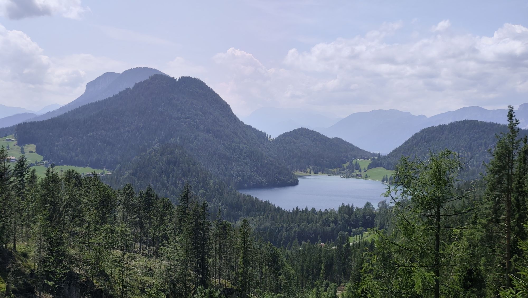
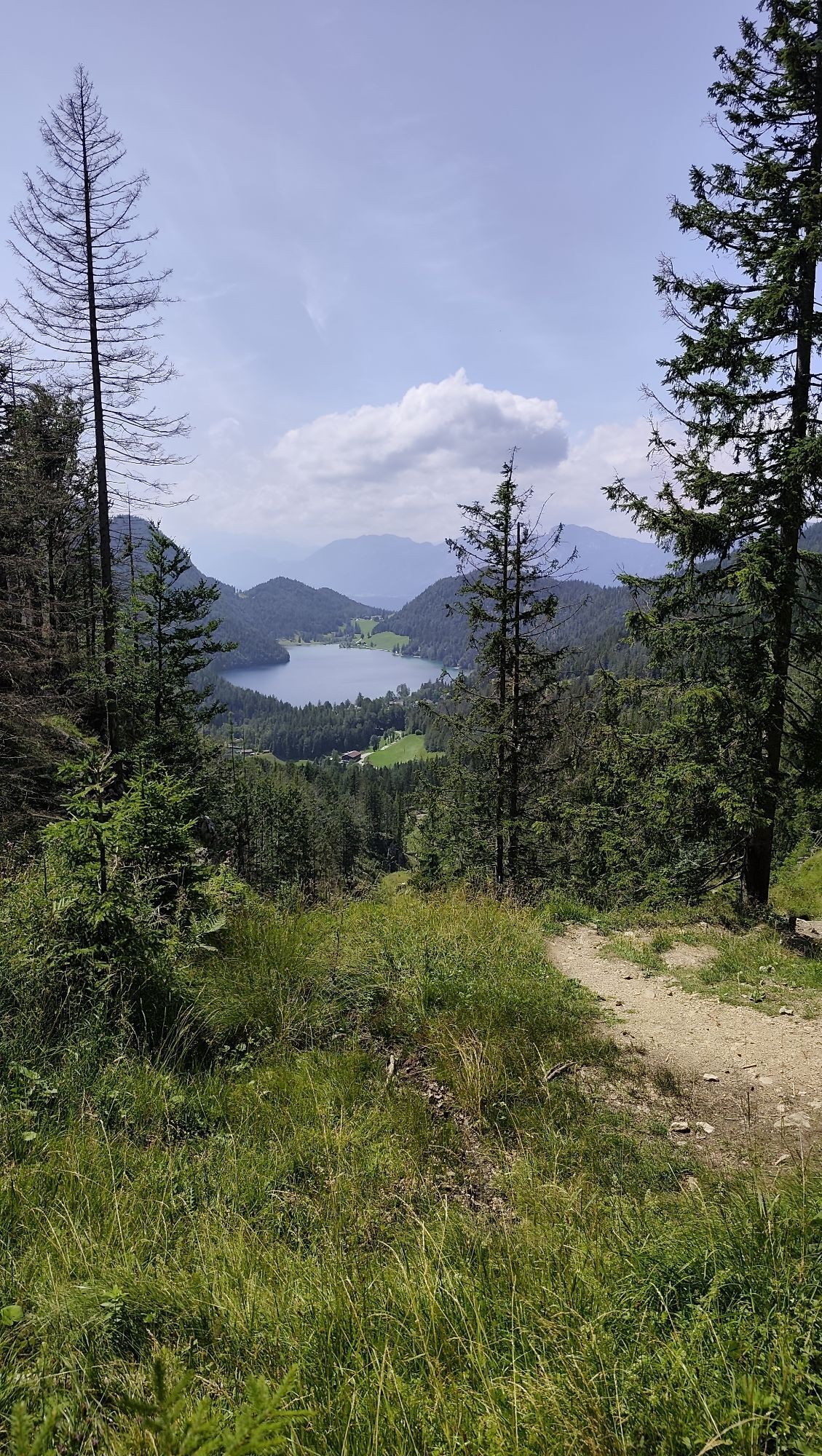
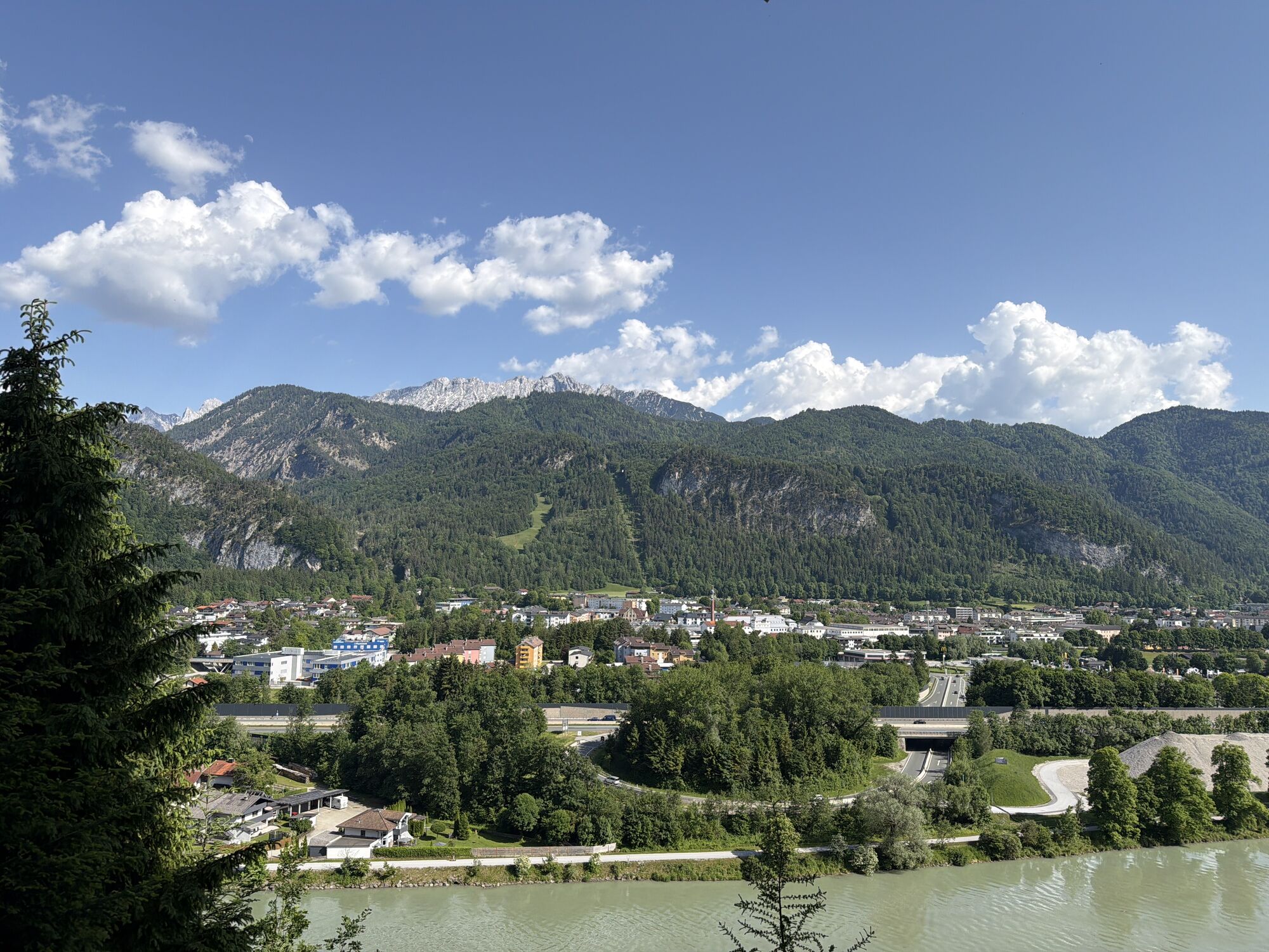
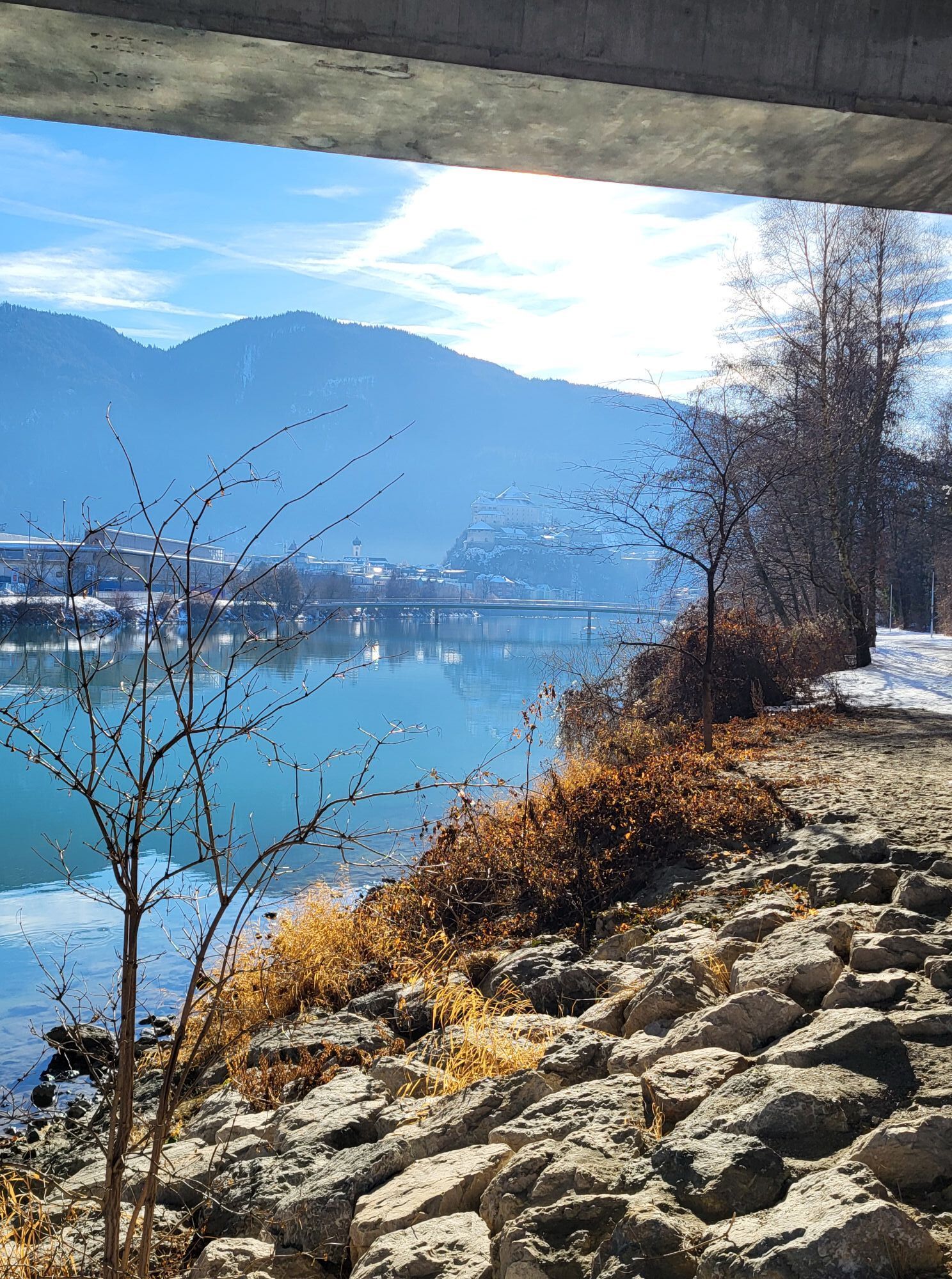
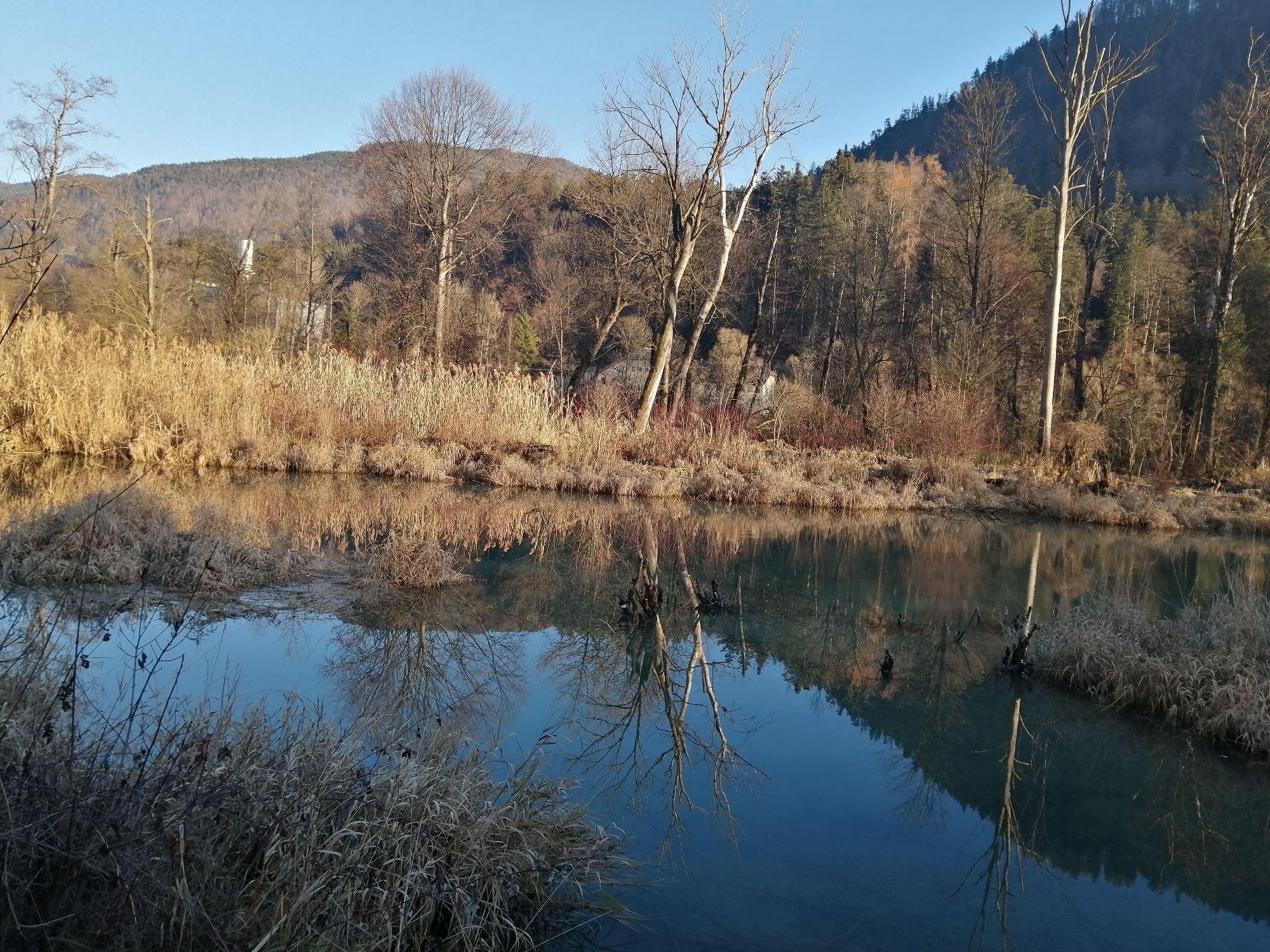
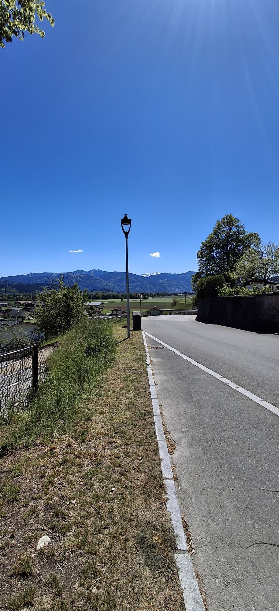
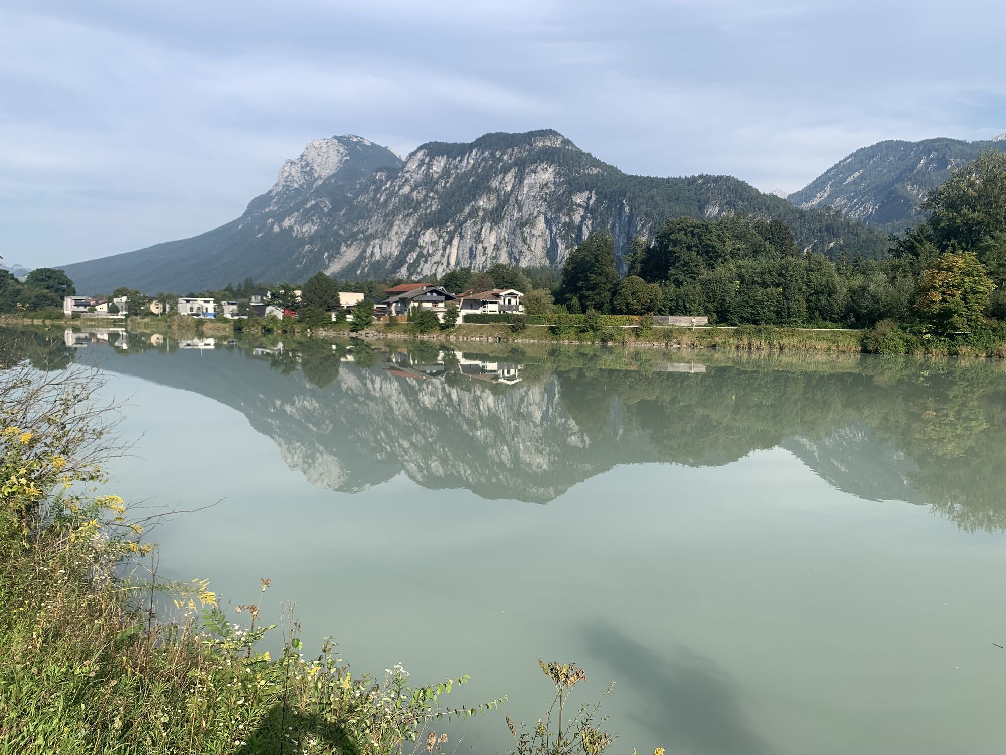
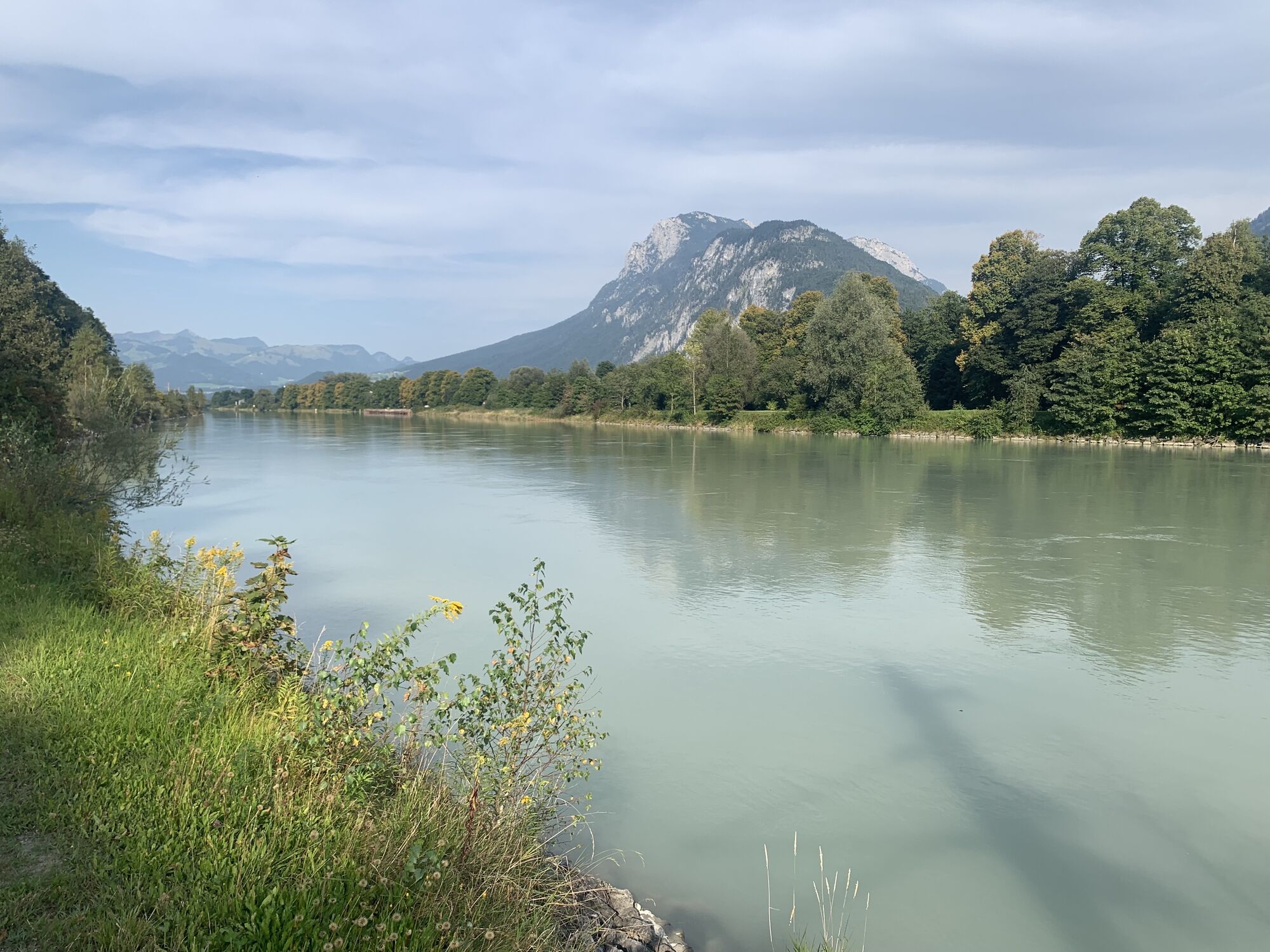
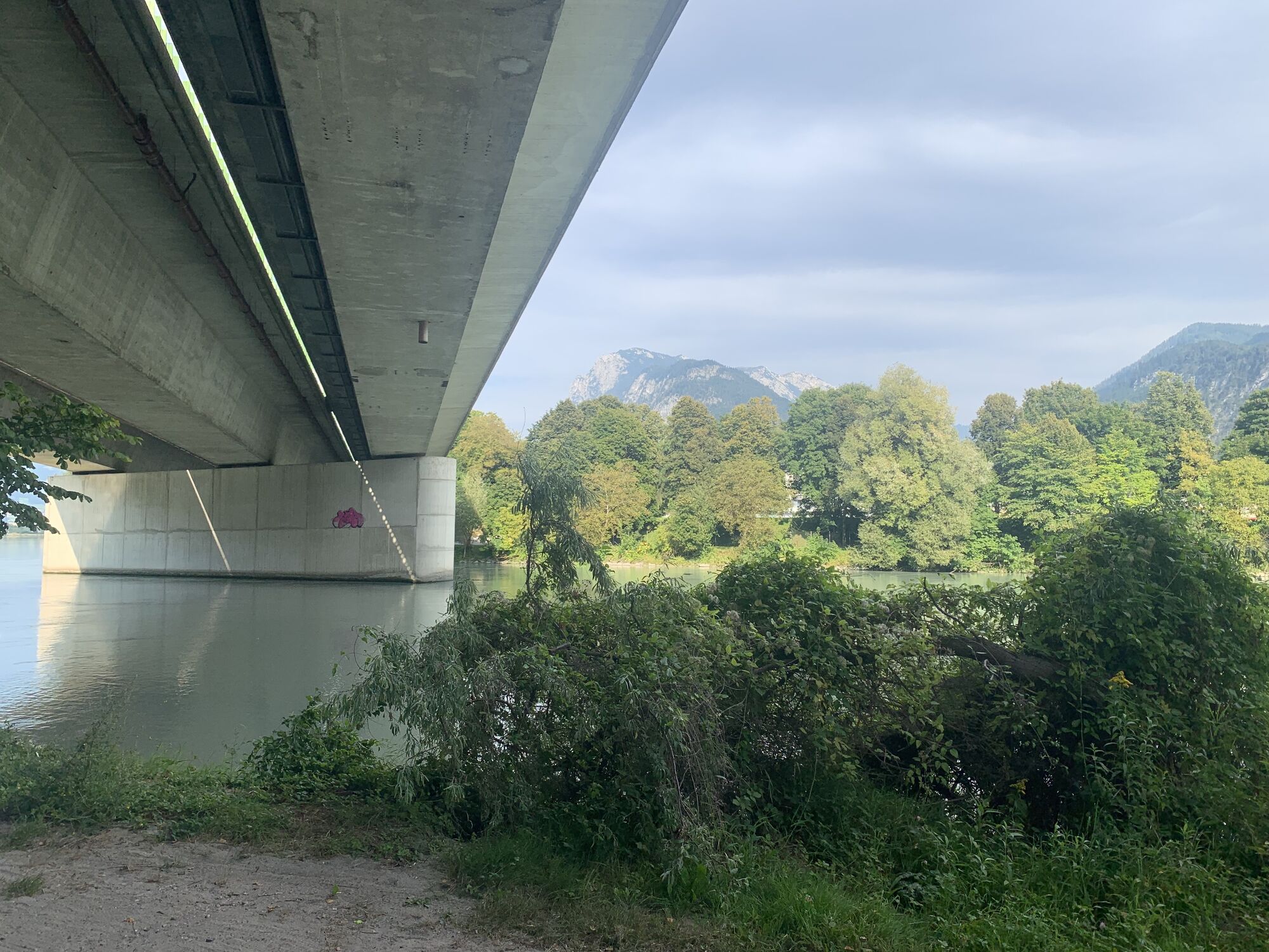
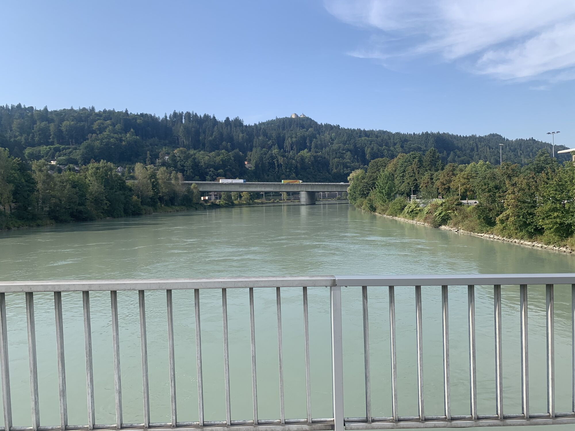
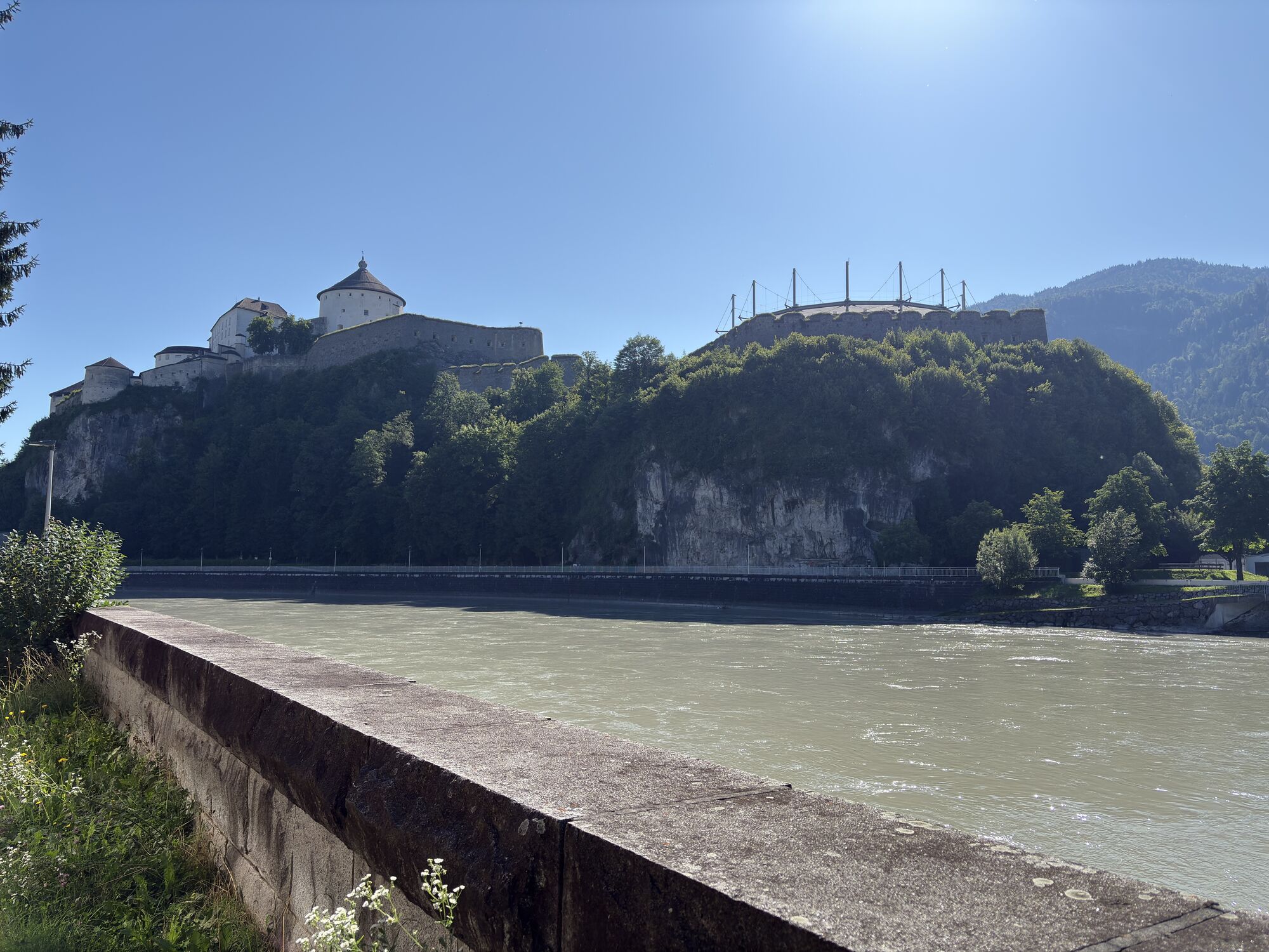
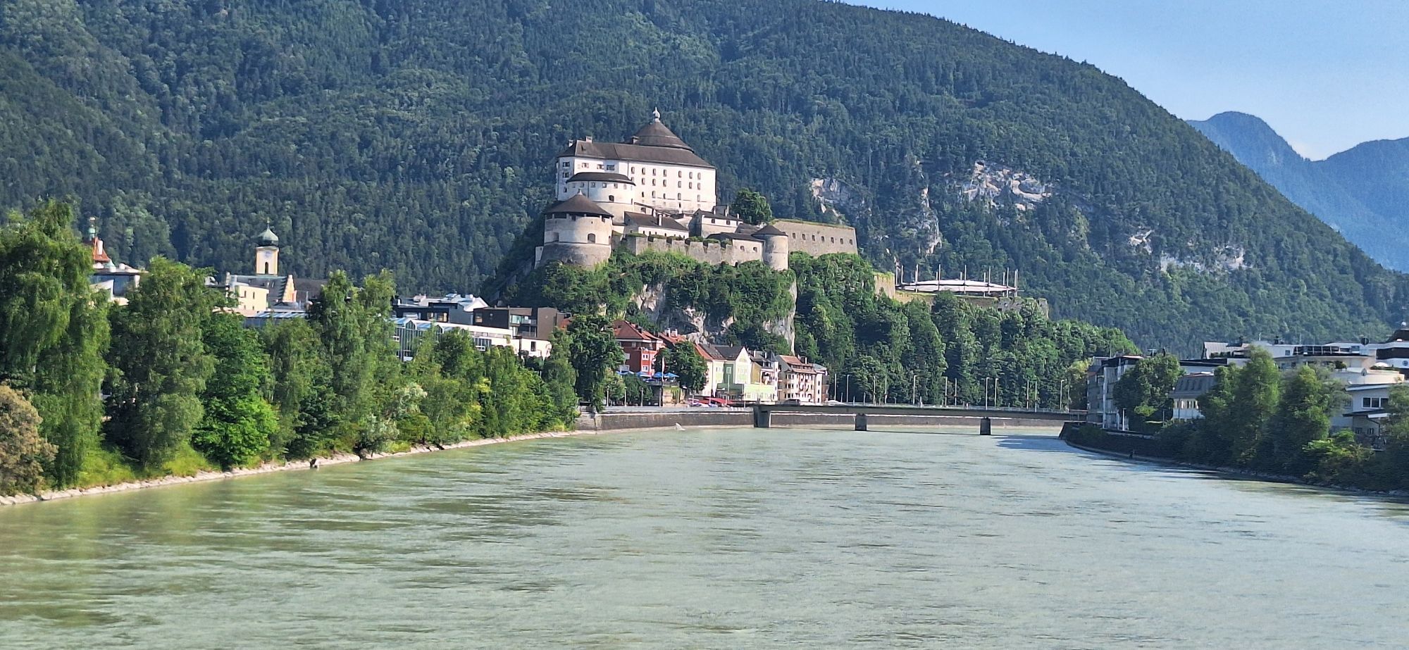
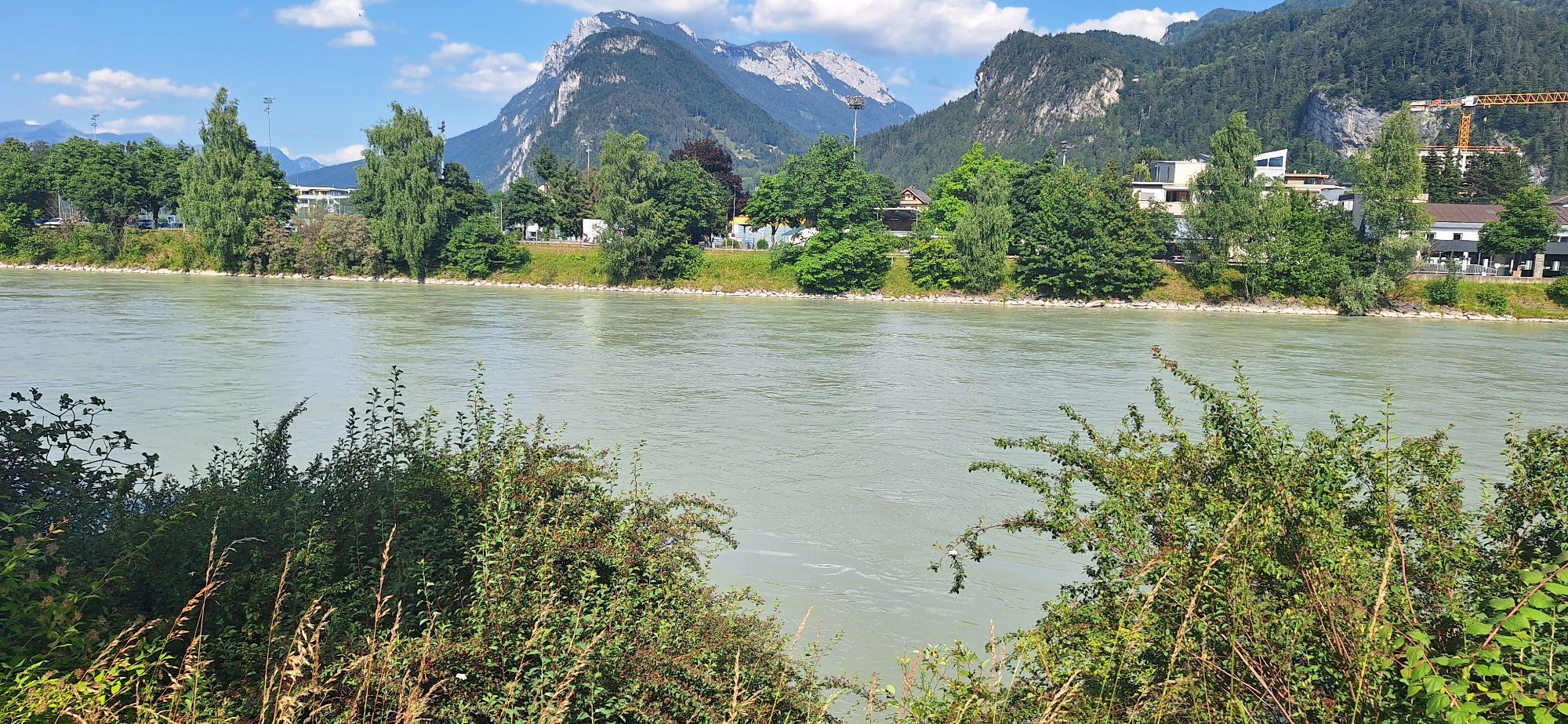
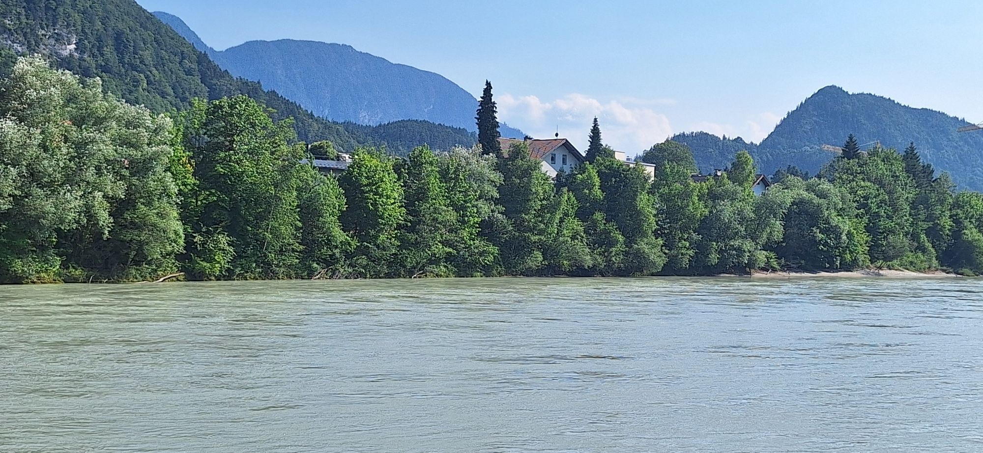
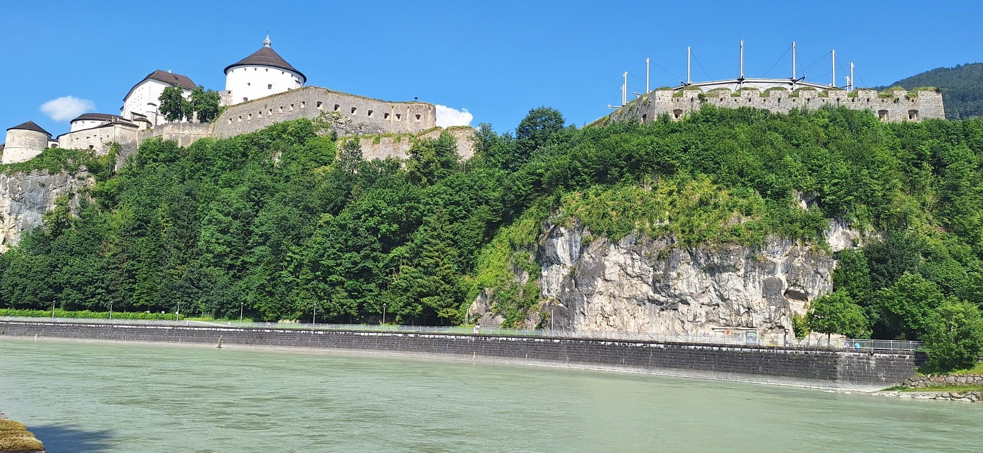
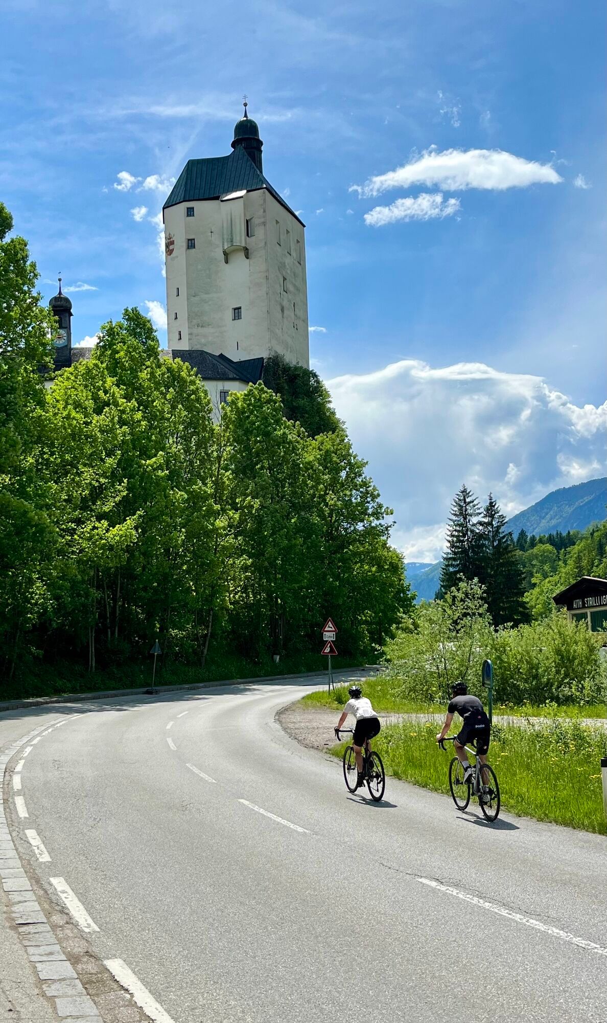
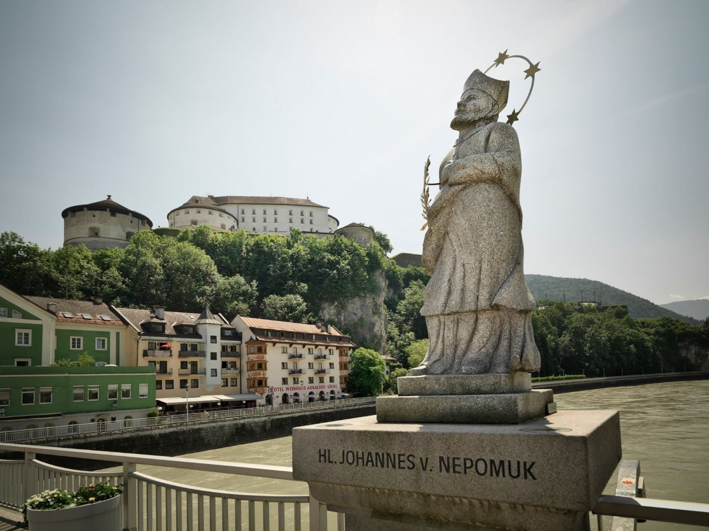
Pack your backpack, lacen up your hiking boots and explore the traces of the holy Jakobus and the beautiful landscapes of the border region between Austria and Bavaria. As soon as you see the blue-yellow...
Pack your backpack, lacen up your hiking boots and explore the traces of the holy Jakobus and the beautiful landscapes of the border region between Austria and Bavaria. As soon as you see the blue-yellow shell your on the right track.
There are mainly three routes, which lead through Tyrol to the west. Off course the pilgrims didn't always stay on these tracks. Even today, a lot of people take short side trips or longer detours.
In our region the Way of St. James leads from Rosenheim to Kufstein and further in the Inn valley to the west, through Innsbruck and further up to the Arlberg, where it leads to Bludenz, Feldkirch and Lichtenstein into the Bernese Oberland.

Ausreichend Verpflegung für alle Tage (Verfügbarkeit auf den Hütten prüfen),
Erste-Hilfe-Ausrüstung,
Handy mit vollem Akku und Handyladegerät,
Wanderkarte und Führerliteratur,
Sonnenschutz (Sonnenbrille, Sonnencreme und Kappe),
Übernachtungsutensilien, Hüttenschlafsack, etc.,
Regenschutz,
Bargeld.
Webové kamery z prohlídky
-
Thiersee - Mitterland - Schneeberglifte
-
Thiersee - Mitterland - Schneeberglifte
-
Thiersee - Mitterland - Schneeberglifte
-
Thiersee - Mitterland - Schneeberglifte
-
Kufstein - Brentenjoch
-
Thiersee - Mitterland - Schneeberglifte
-
Pendlinghaus - Kufstein
-
Pendlinghaus - Kufstein
-
Thiersee - Mitterland - Schneeberglifte
-
Thiersee - Ticklhof
-
Tirolina
-
Festung Kufstein

Oblíbené prohlídky v okolí
-
4.3
Rosskopf
světloTuristika 7.02 km -
3.2
Kundler Klamm
světloTuristika 6.33 km -
4.7
Musikantensteig zur Naunspitze
středníTuristika 8.96 km -
4.7
Hintersteinersee
středníTuristika 9.87 km -
4.8
Rehbachklamm
středníTuristika 7.27 km -
4.5
Über Hintersteinersee und Walleralm aufs Hochegg
světloTuristika 12.2 km -
4.5
Wanderung um den Hintersteinersee
světloTuristika 5.29 km -
4.4
Bergdoktor Wohnhaus "Gruberhof" (Köpfing Hof) Rundeweg-Söll
světloTuristika 8.70 km -
4.9
465 Rund um den Guffert
středníMountainbike 40.7 km -
4.9
Kleiner und großer traithen von rosengasse
středníTuristika 9.84 km
Pěší turistika a stopování


Nenechte si ujít nabídky a inspiraci pro vaši příští dovolenou
Vaše e-mailová adresa byl přidán do poštovního seznamu.





