







Mountain bike - Circular route Collenberg

Úroveň obtížnosti: S2

The very varied route in Collenberg runs in two intersecting loops through forests and meadow valleys and offers repeated beautiful views of the Main valley. The length of the route requires fitness, and...
The very varied route in Collenberg runs in two intersecting loops through forests and meadow valleys and offers repeated beautiful views of the Main valley. The length of the route requires fitness, and the trails are flowy with adrenaline and fun guaranteed. If time is tight or energy runs low, the route can also be divided into stages through the two loops.

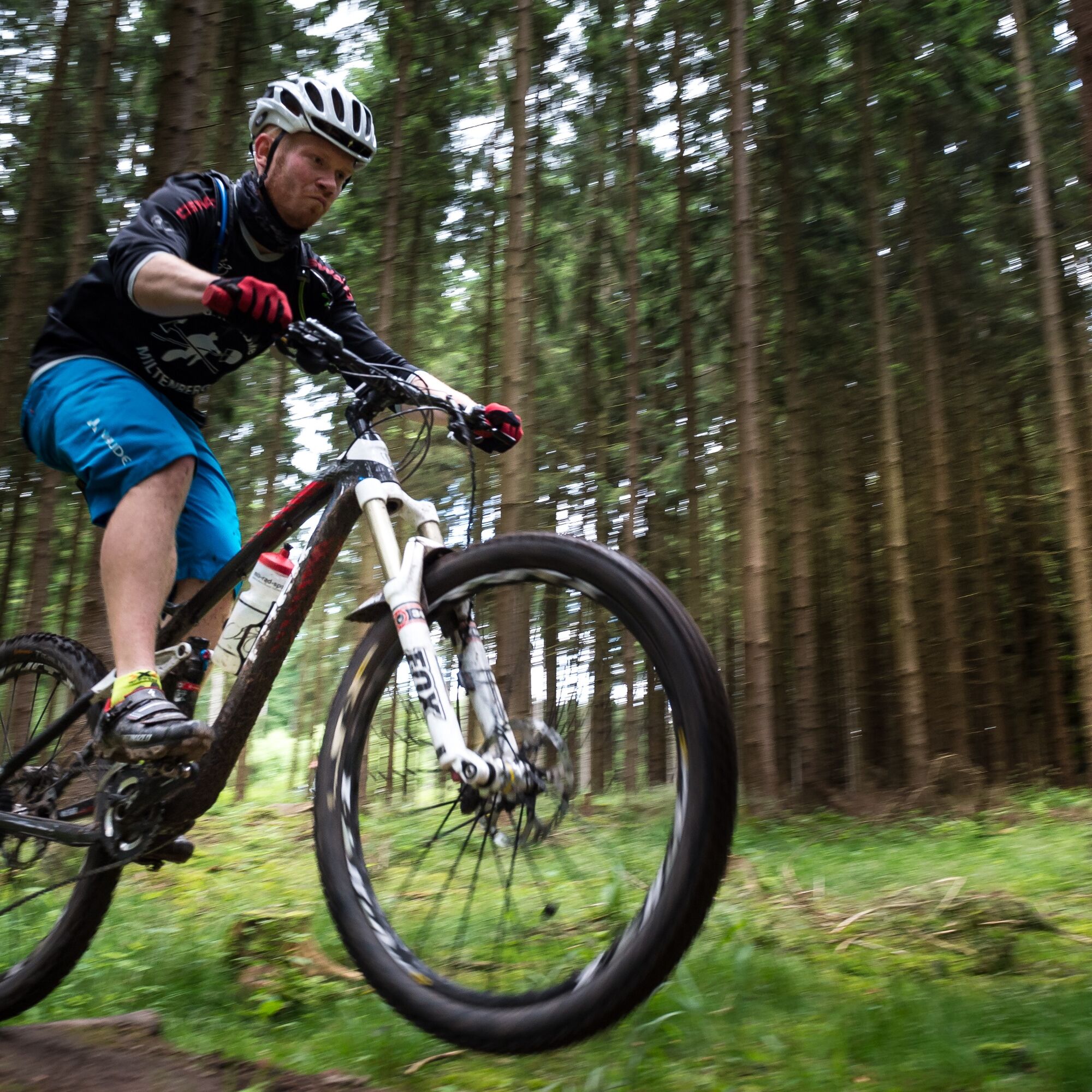

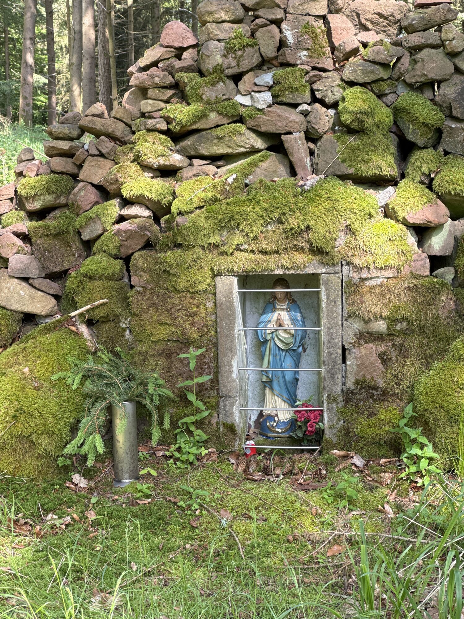
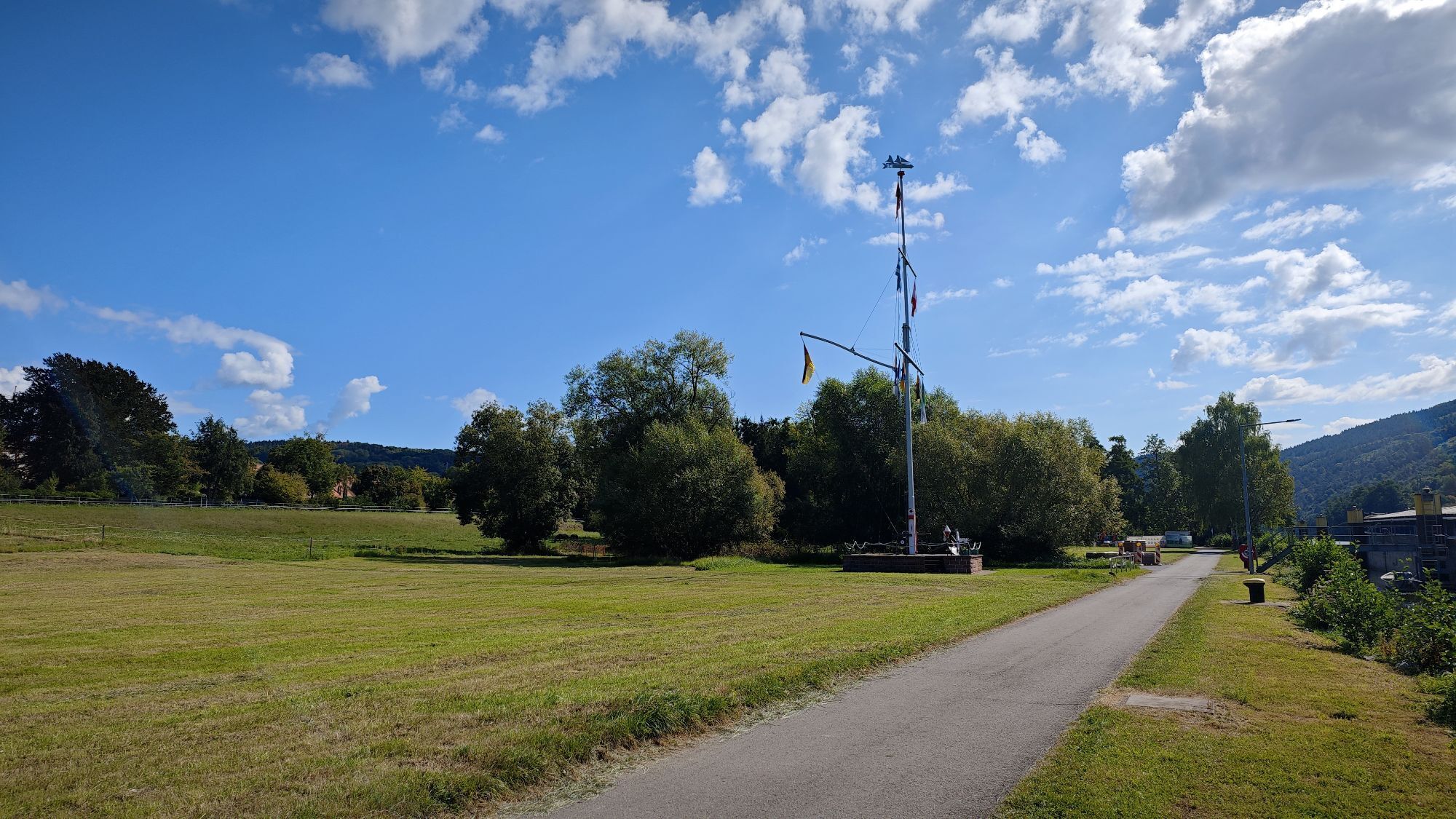
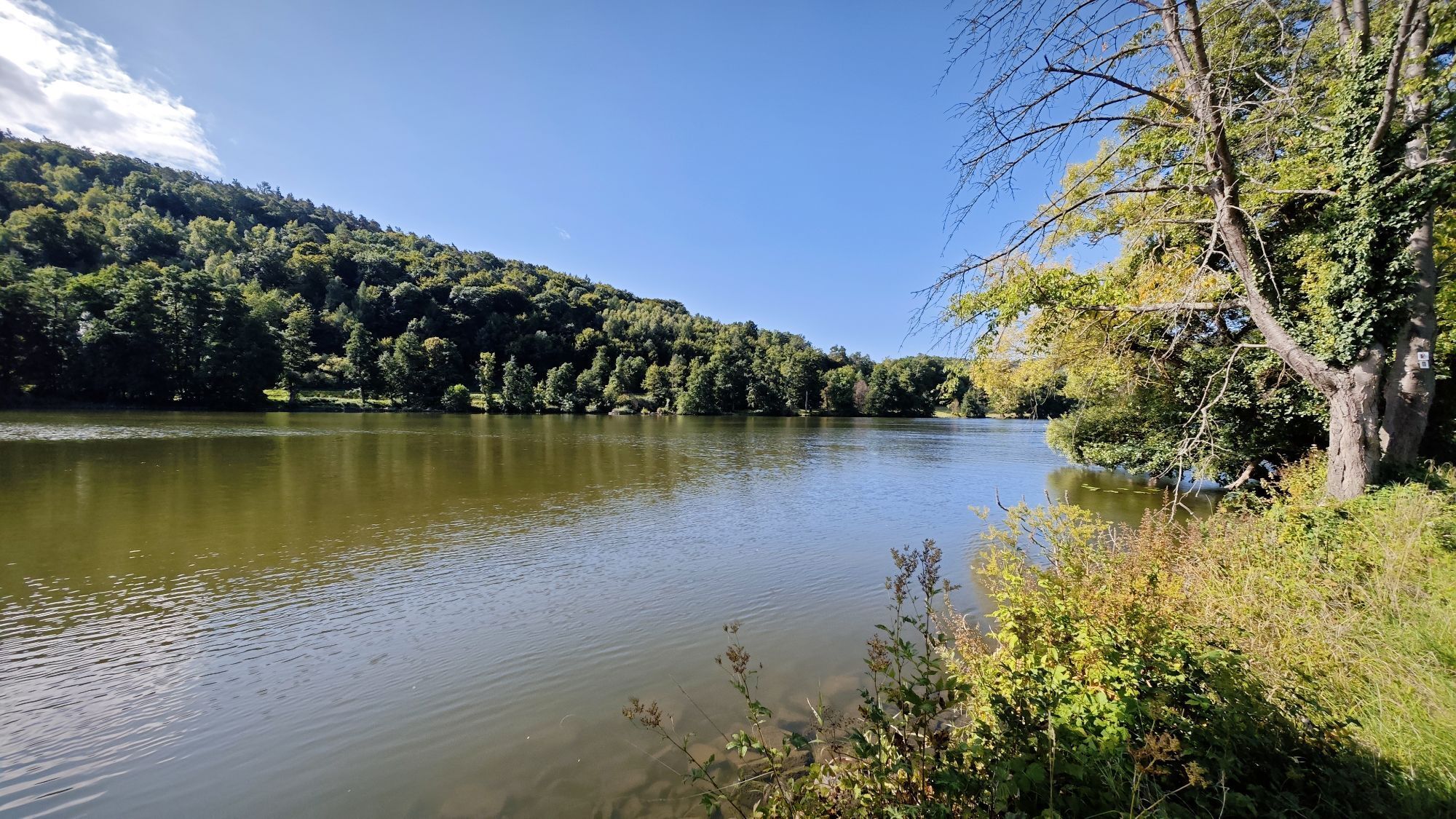
The start is at the festival hall on the Main riverbank, and after crossing the state road, you can easily warm up along the houses of the "Stone Barons" and past the listed cemetery. We leave the town area, enter an idyllic meadow valley before diving into the forest, under whose shady roof we will stay for several kilometers. At the valley end, we reach a gravel forest road, follow it left, reach after several hairpin bends an unpaved forest road winding up the mountain in switchbacks, which challenges the thighs. Past the natural forest reserve, we reach another gravel path that flattens after a steep hairpin bend and leads us to the left to the starting point of the "Kolpinghüttentrail," which demands control skills but also offers fast sections. On the flowy "Spanferkeltrail" after the shelter (1), it continues downhill to the "White Picture" (2), from where the path sharply turns right past the Jewish Regional Cemetery back into the forest. Like chewing gum, a gravel forest road then stretches up the "Red Mountain," but the reward follows with a downhill trail winding along the fall line. After crossing the "Marienweg," a great panorama opens at the forest edge into the Main valley, and steeply downhill past the Marian Chapel (3), we reach the town again, thus completing the first section.
For those not done yet, now ride through the old town and new developments to the TSV sports grounds, cross the district road to Mönchberg, and reach the forest edge over orchards, where the summit of the "Spreunersberg" must be climbed in switchbacks. The high stone quarries there are worth a short detour to the right for interested parties; otherwise, the route leads past the "Anvil" onto the well-known "Donkey Path," which we follow at the "Vodka Hut" in the forest section "Hohe Sohl" to the intersection at the "Heidenplatte." On the demanding trail "Im Gräbele," it goes through and into a hollow way into the Fechenbach valley to the rest area at the "Bridge Fountain" (4), where we can refill our drinks. From there, endurance is needed again, as we must first climb the "Fechenberg" on a gravel, then an unpaved forest road. From there, it is pure enjoyment, as it first undulates and then descends along the "Borderline" on a narrow and fast trail toward Kollenburg. Just before the castle ruin, we turn right at a high stone pyramid and pass through orchards with beautiful views into the Main valley past the "Marienruhe" (5) to the town edge. Here we cross the state road toward the campsite, then, after the railway underpass, turn right onto the bike path, which we leave shortly after the old sports field, and follow a meadow path directly along the Main riverbank back to the starting point at the festival hall.
Arrival by car: Via the state road to the Reistenhausen district and past the "old church" to the festival hall. Parking available at the festival hall, on the access road, or in the town.
Arrival by train at the "Collenberg" stop. From there, about 300 m along the state road to the direct entry to the route.
Free parking at the starting point. Parking available at the festival hall, on the access road, or in the town of Collenberg.
S2
Oblíbené prohlídky v okolí
-
"Of Clay, Stones and Shards"
středníTuristika 8.31 km -
5.0
Dorfprozelten: Kollenburg-Chapel-Route
středníTuristika 11.8 km -
4.0
Around the Kaffelstein
světloTuristika 4.71 km -
5.0
Roman Route in Miltenberg M1
heavyTuristika 15.3 km -
5.0
Rüdenau mountain hike R1
heavyTuristika 13.8 km -
MainRadweg Wertheim bis Miltenberg
Jízda na kole 35.7 km -
4.0
European cultural route: "From Hecke to Häcke in Hebboch"
středníTuristika 10.2 km -
Nibelungensteig - 6th stage from Miltenberg to Amorbach
heavyTuristika 13.2 km -
Miltenberg - Engelberg Monastery - Kleinheubach Castle - round trip
heavyTuristika 12.6 km -
3.0
Franconian Red Wine Hiking Route - 4th stage from Erlenbach to Klingenberg
světloTuristika 4.08 km
Pěší turistika a stopování


Nenechte si ujít nabídky a inspiraci pro vaši příští dovolenou
Vaše e-mailová adresa byl přidán do poštovního seznamu.





