






Around Stiefenhofen
Úroveň obtížnosti: S1
A local round trip to get to know the landscape north of Oberstaufen. Via Sinswang with a beautiful view of the moor area. Then follows a longer ascent over Vorderreute up to the mountain ridge and through...
A local round trip to get to know the landscape north of Oberstaufen. Via Sinswang with a beautiful view of the moor area. Then follows a longer ascent over Vorderreute up to the mountain ridge and through the forest to the so-called Hahnschenkel. Then it continues over the hamlets Isenbretshofen and Hertnegg to Rutzhofen.
Here is one of the numerous dairies of the West Allgäu Cheese Road. On the following descent to Heimhofen, you can enjoy a wide view of the pre-Alpine landscape once again. From there, moderately downhill and then uphill on a forest road towards Harbatshofen. Follow the bike path for about one kilometer and continue to Oberthalhofen.
From there, we calmly roll the last kilometers along the Upper Argen back towards Oberstaufen. A gourmet tour that can be extended or shortened as desired.

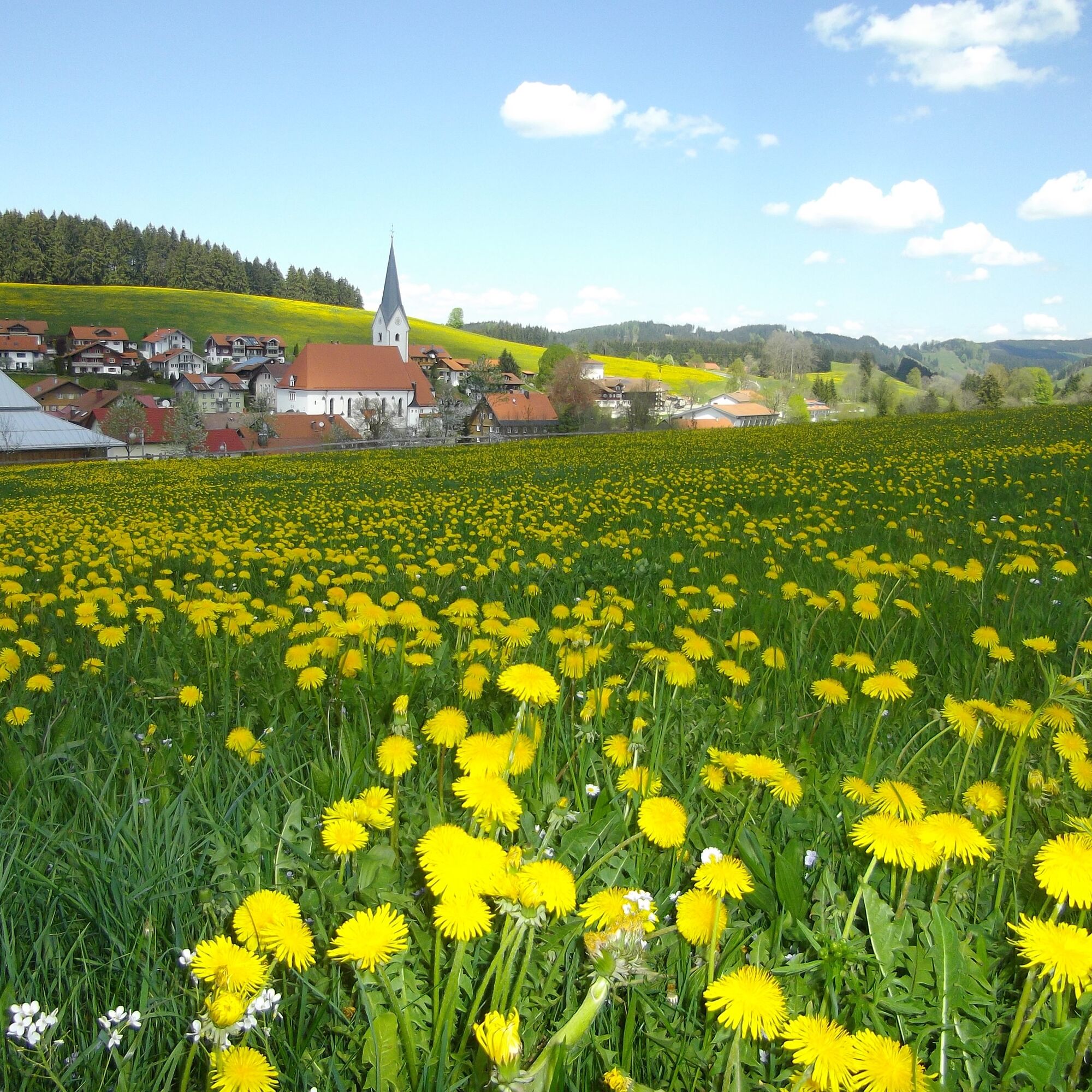
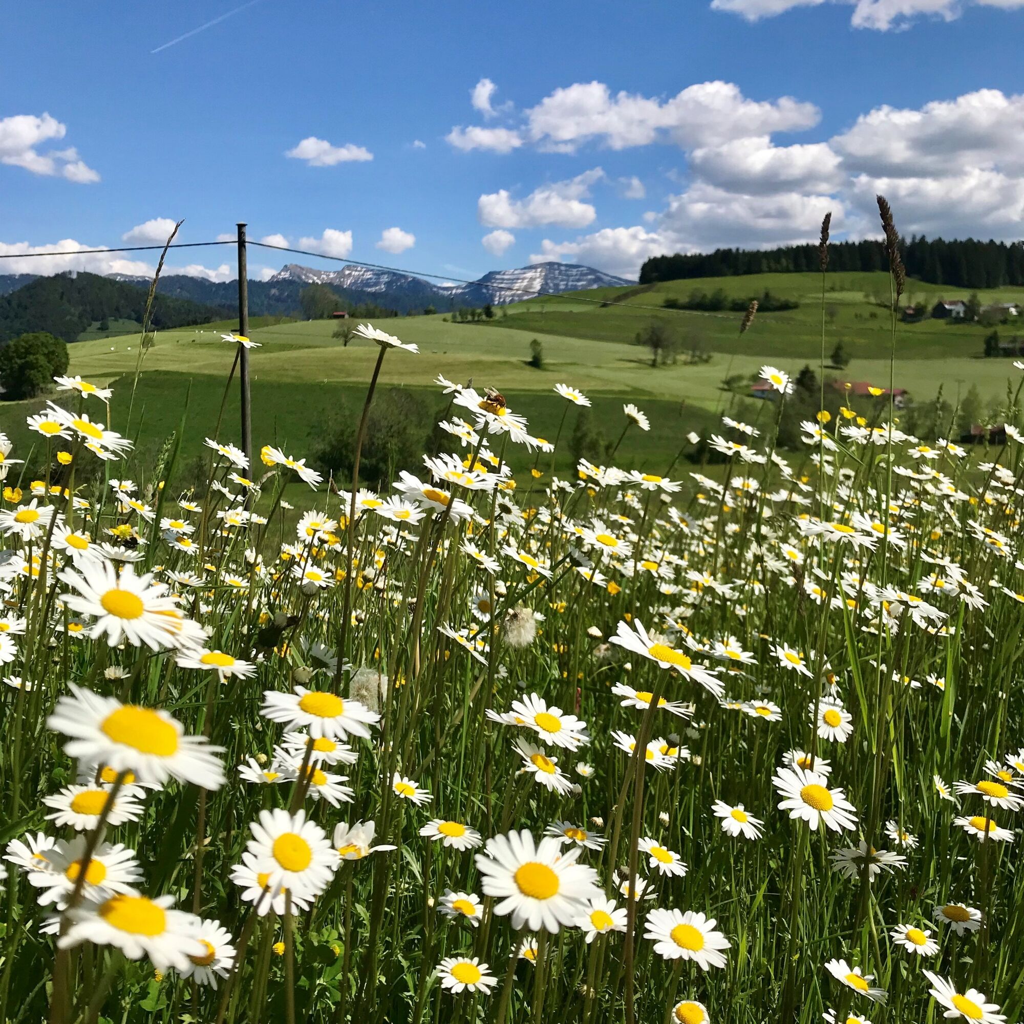
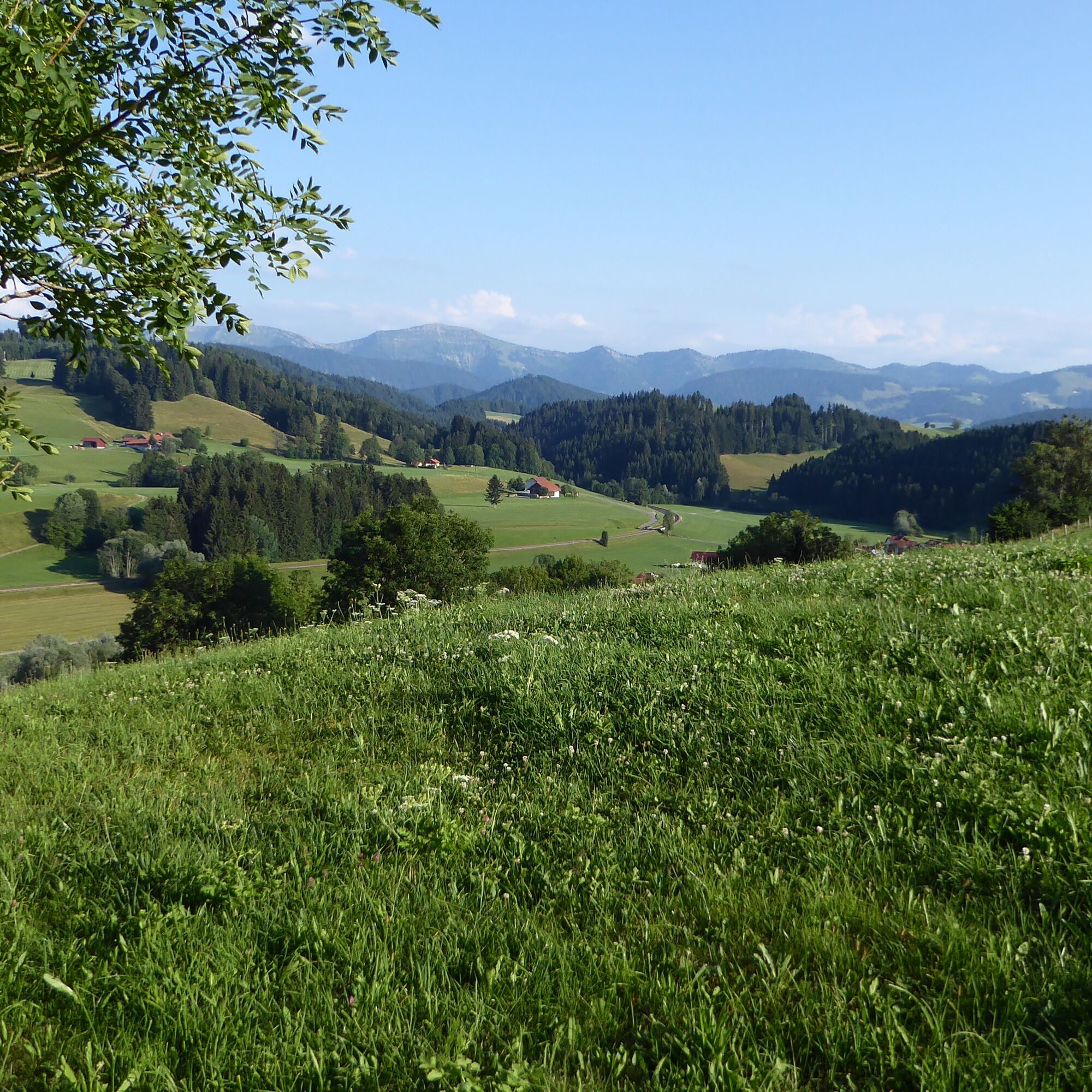

From the train station through the town to Argenstraße and further to Sinswang. (For those who want it more challenging, turn left about 350 m after passing under the bridge at the intersection onto an inconspicuous forest and meadow path that leads uphill towards Kapf. Higher up, keep right on the paved road and descend to Sinswang).
We follow the road to Vorderreute, which soon ascends, pass the hamlet and then continue straight ahead – do not follow the road to the left! Passing a property, we come to a meadow path where three of the new flow gates allow passage. Continue in the forest following the forest road. Then on paved road via Iringshofen to the so-called Hahnschenkel. There, it goes left downhill, then right to Isenbretshofen and Hertnegg, shortly after, left down and further to Ranzenried. Soon it goes swiftly downhill to Heimhofen. Here, turn right on a forest road towards Harbatshofen. Carefully cross the main road and on the bike path past Harbatshofen to the highest point.
Shortly afterwards, cross the road again to the right and along the forest edge on the forest road to the next road junction. Then continue again on paved road to Oberthalhofen. Straight ahead leads a quiet gravel path along the Upper Argen to the Weißenbach mill. Over a last steep ascent to Zell and further to Buflings. At the entrance to Oberstaufen, turn left onto Bgm.-Hertlein-Straße and back to the starting point at the train station.
Oberstaufen train station or the parking lots in town.
S1
On S1 trails, you have to roll over small obstacles like flat roots, small stones, and water gutters. The gradient is a maximum of 40%. Basic riding skills such as controlled braking and weight shifting are necessary.
Note: The route is not explicitly signposted; GPX data is available for navigation.
Visit to the Rutzhofen dairy, which belongs to the Allgäu Cheese Road. Nine milk suppliers provide the dairy annually with 1.3 million kilograms of milk. A non-GMO diet is the basis for the pure natural production there.
Získejte přehled
Vždy živě na místě s více než 9 500 webkamerami. bergfex Jako uživatel Pro si nyní můžete zobrazit odpovídající webové kamery pro mnoho prohlídek v aplikaci prohlídky z. Můžete si tak přímo prohlédnout aktuální podmínky.
Oblíbené prohlídky v okolí
-
4.5
Hittisau | Wasserwanderweg
světloTematická stezka 7 km -
4.6
Steibis - Buchenegger Waterfalls
středníTuristika 6.47 km -
4.7
Rindalphorn und Hochgrat
středníTuristika 15.6 km -
5.0
Nagelfluh ridge route Hochgrat - Mittag
heavyTuristika 14.0 km -
5.0
Siedelalpe Runde von See - Immenstadt
světloTuristika 10.3 km -
4.5
Immenstädter Horn - Gschwender Horn
světloTuristika 10 km -
4.3
Circular route Steibis to Dreiländerblick
středníTuristika 7.95 km -
5.0
Circular route Hochgrat - Falkenhütte
heavyTuristika 14.2 km -
4.0
Nagelfluh-Überschreitung
heavyTuristika 22.7 km -
4.5
Circular route on the Hochgrat
středníTuristika 4.49 km
Pěší turistika a stopování


Nenechte si ujít nabídky a inspiraci pro vaši příští dovolenou
Vaše e-mailová adresa byl přidán do poštovního seznamu.





