



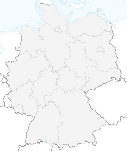
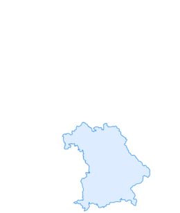

Through the Ehrenschwanger valley to Immenstadt
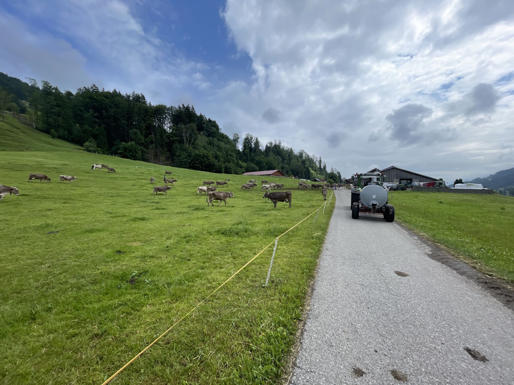
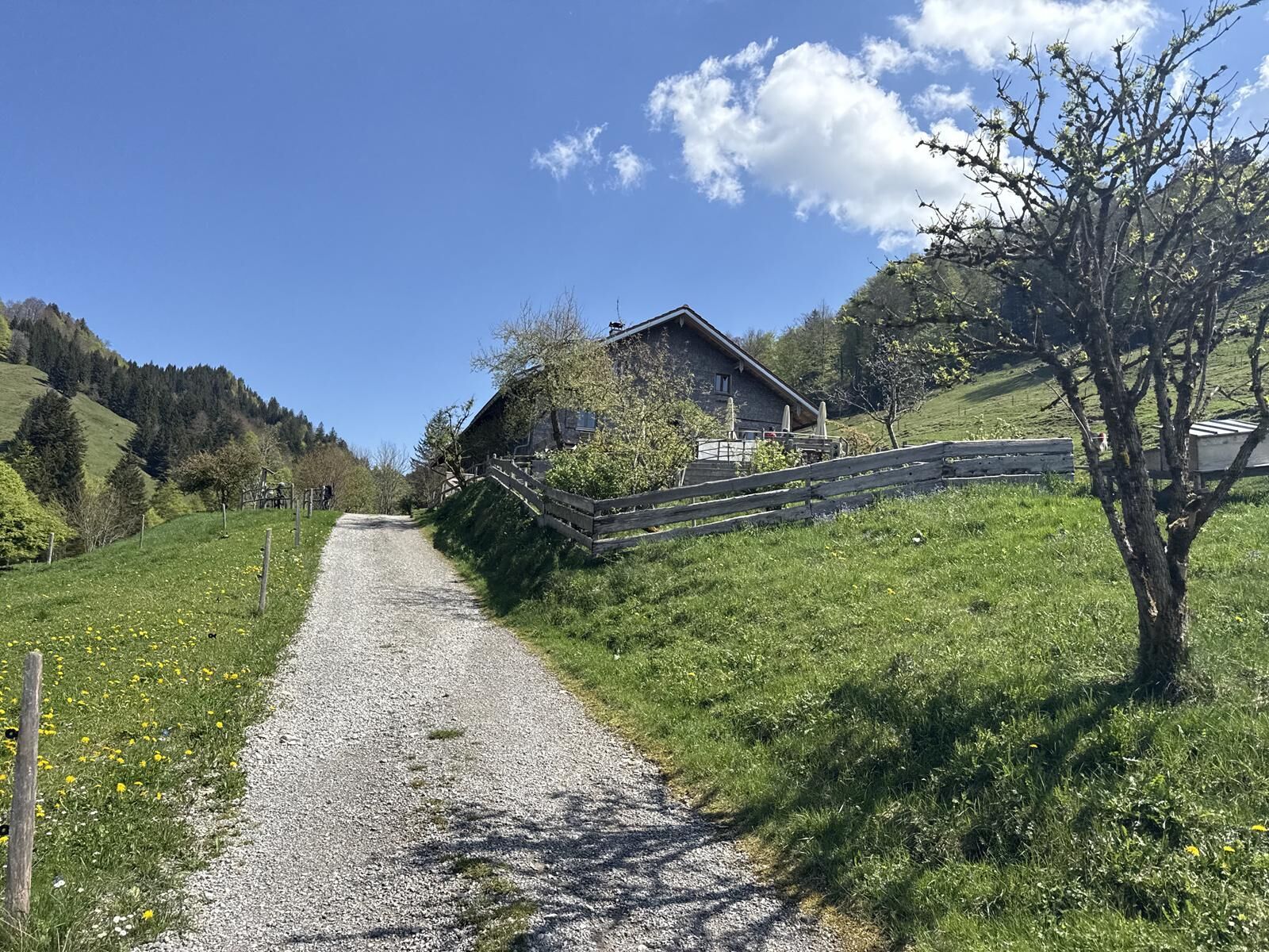
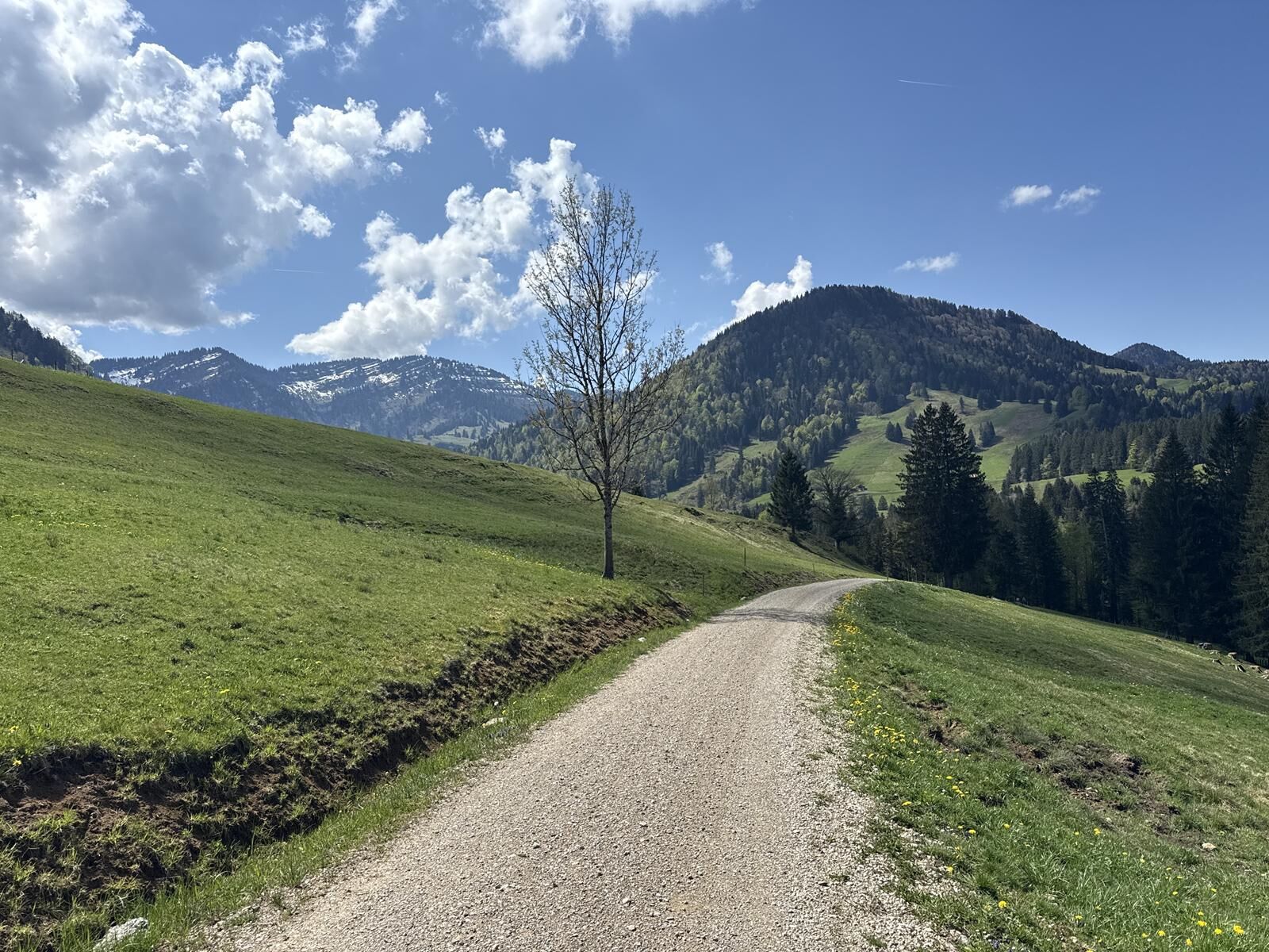
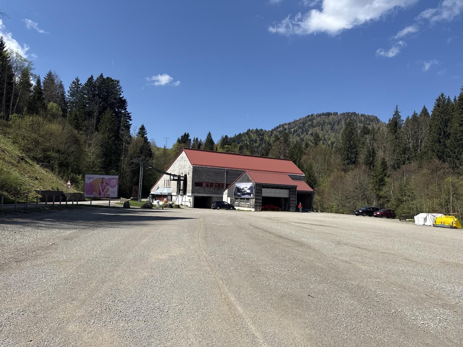
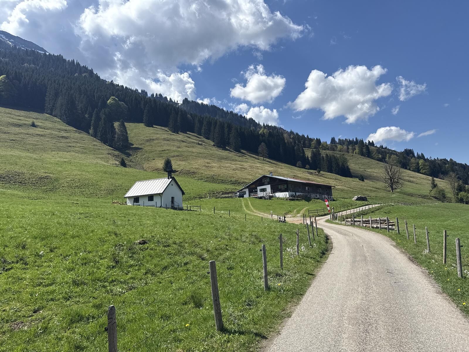
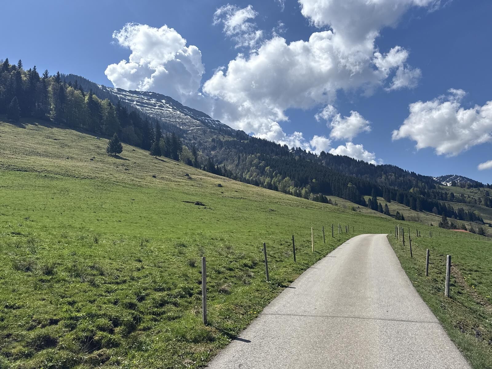
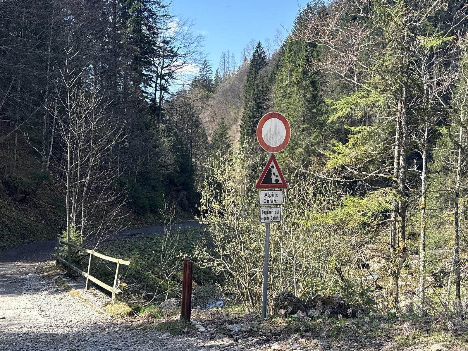
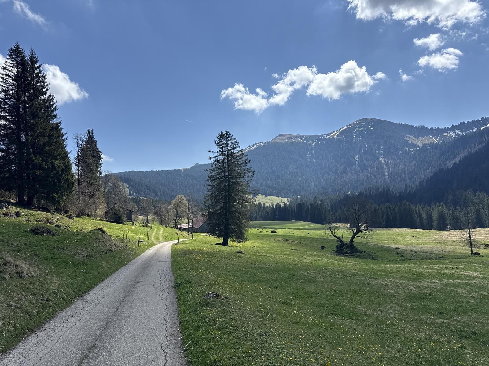
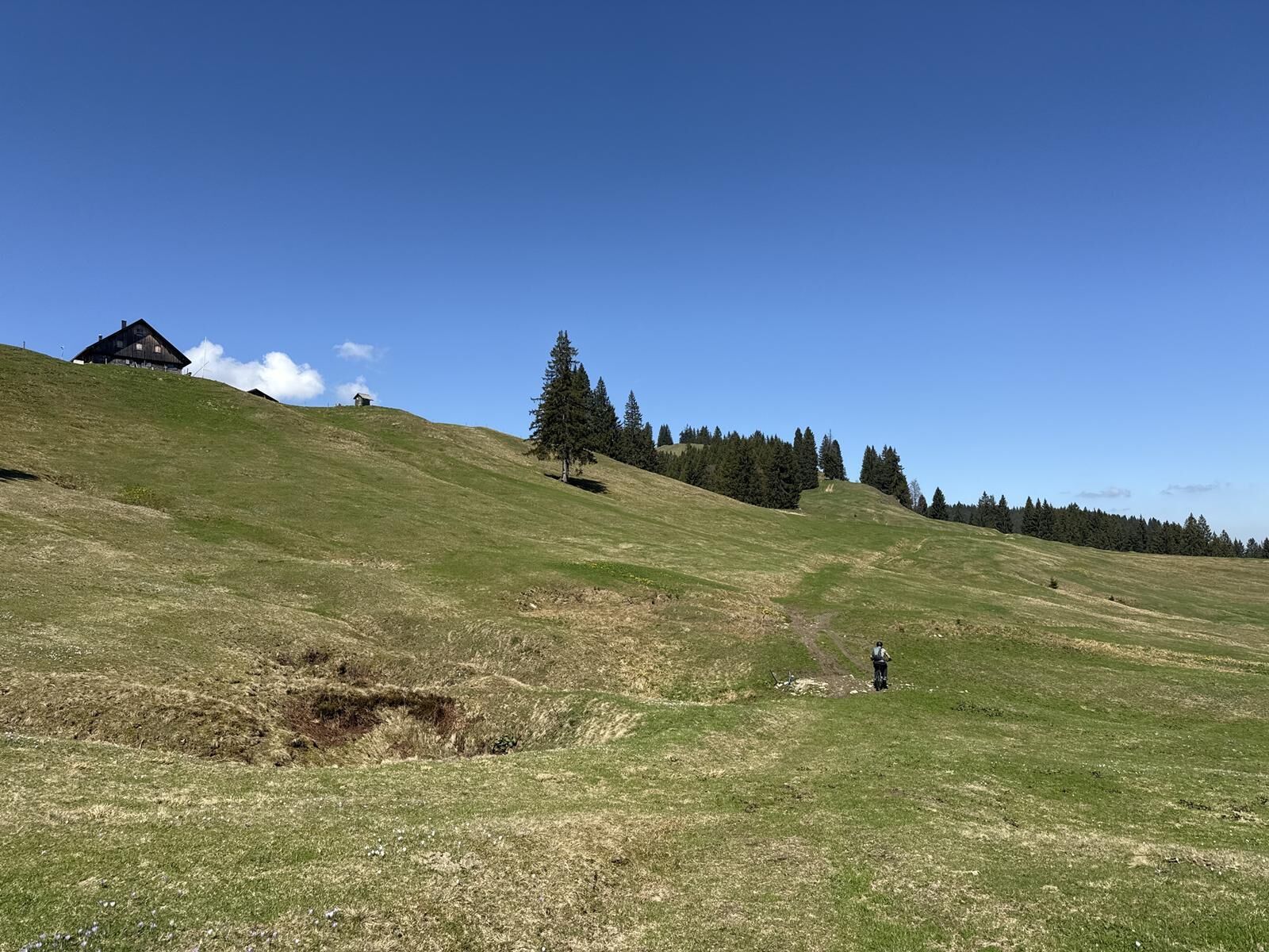
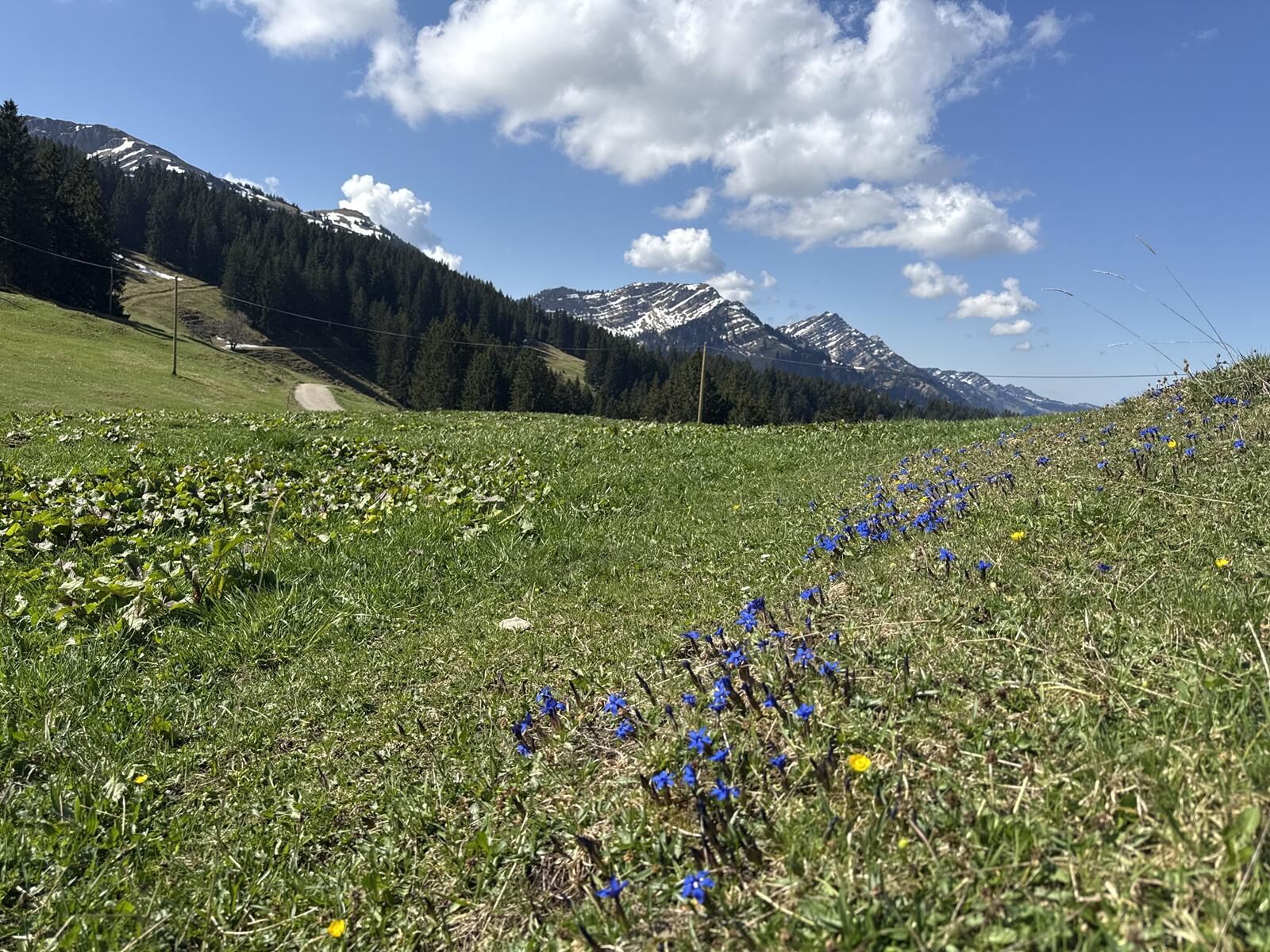
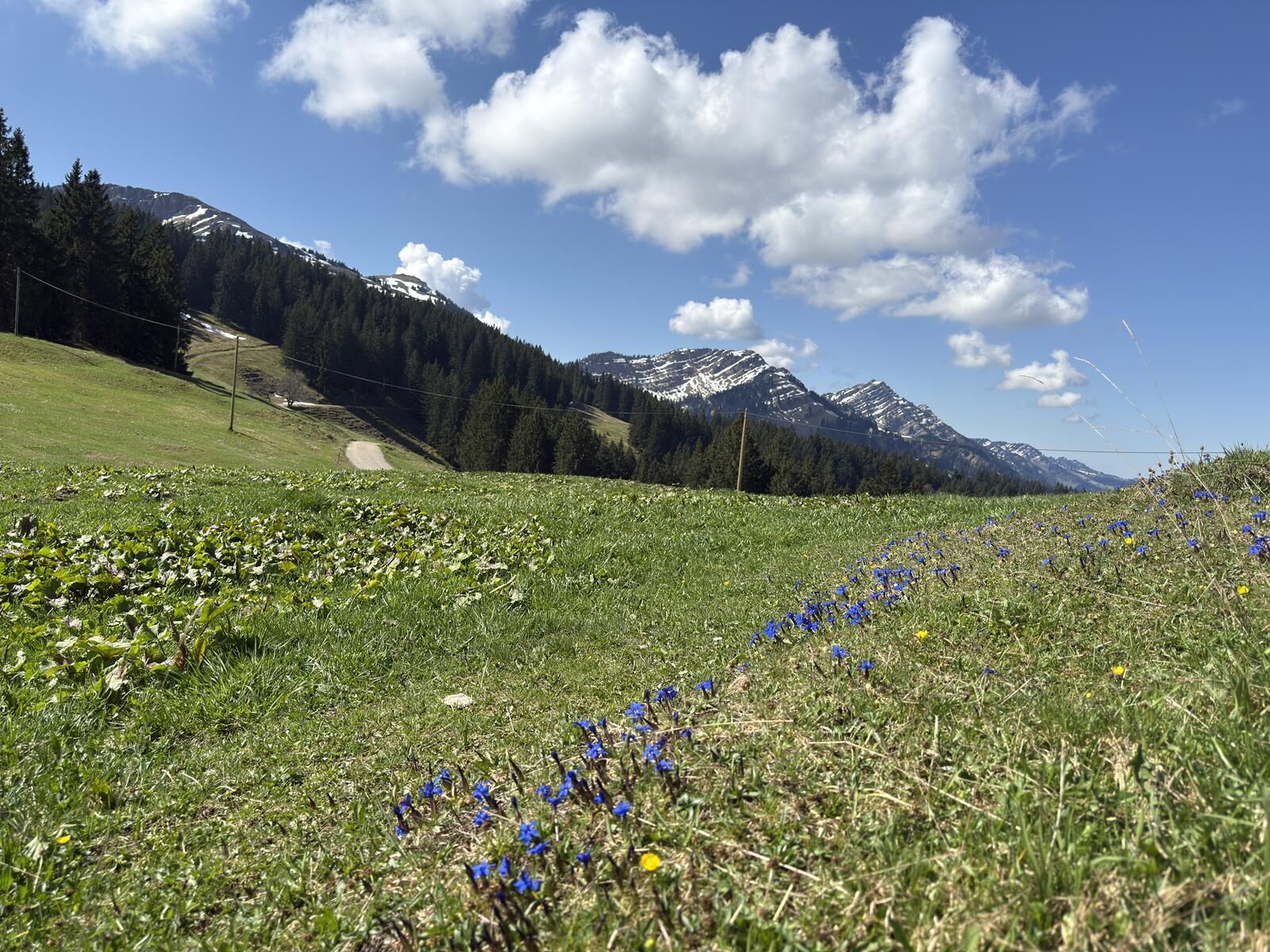
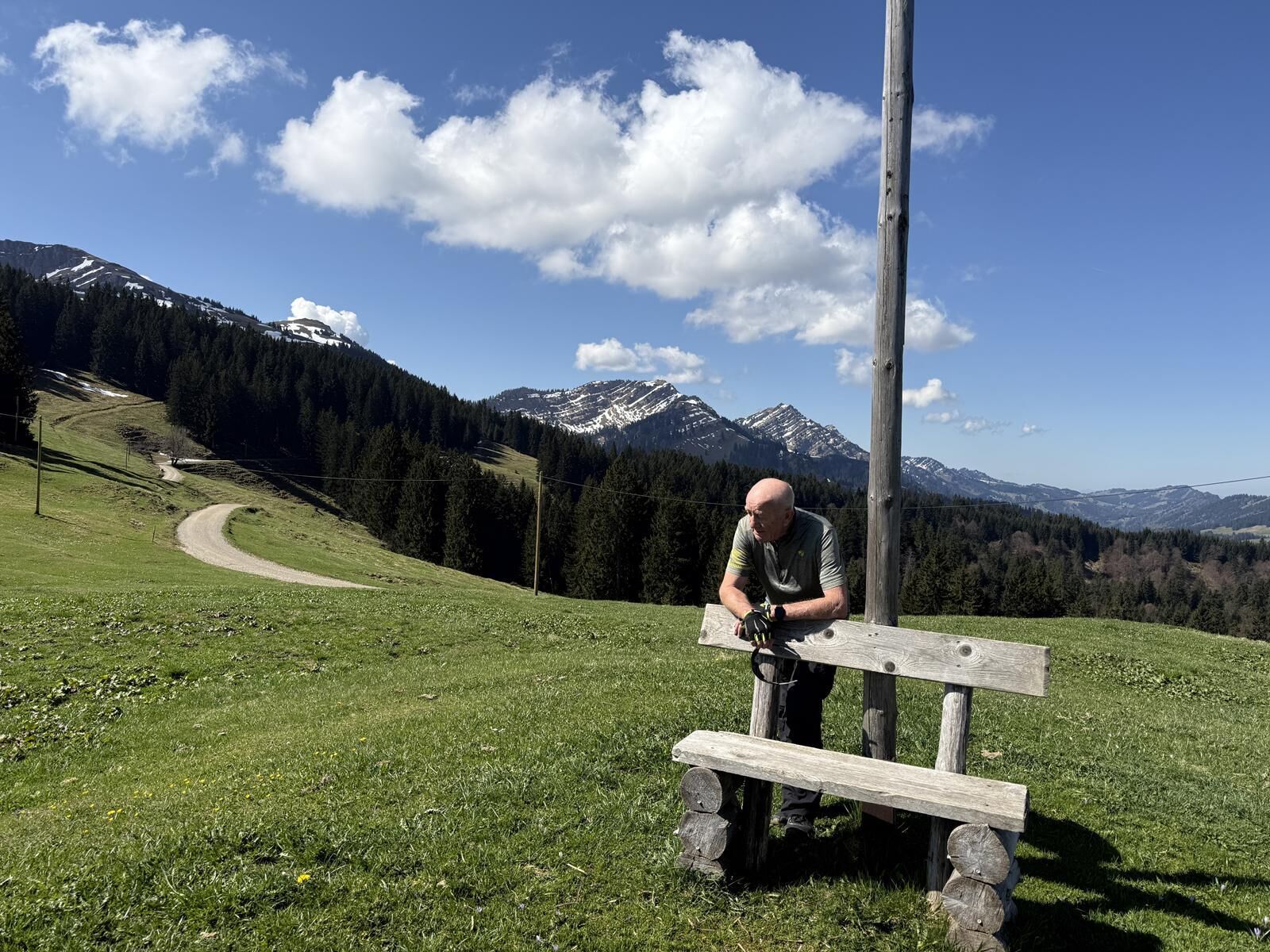
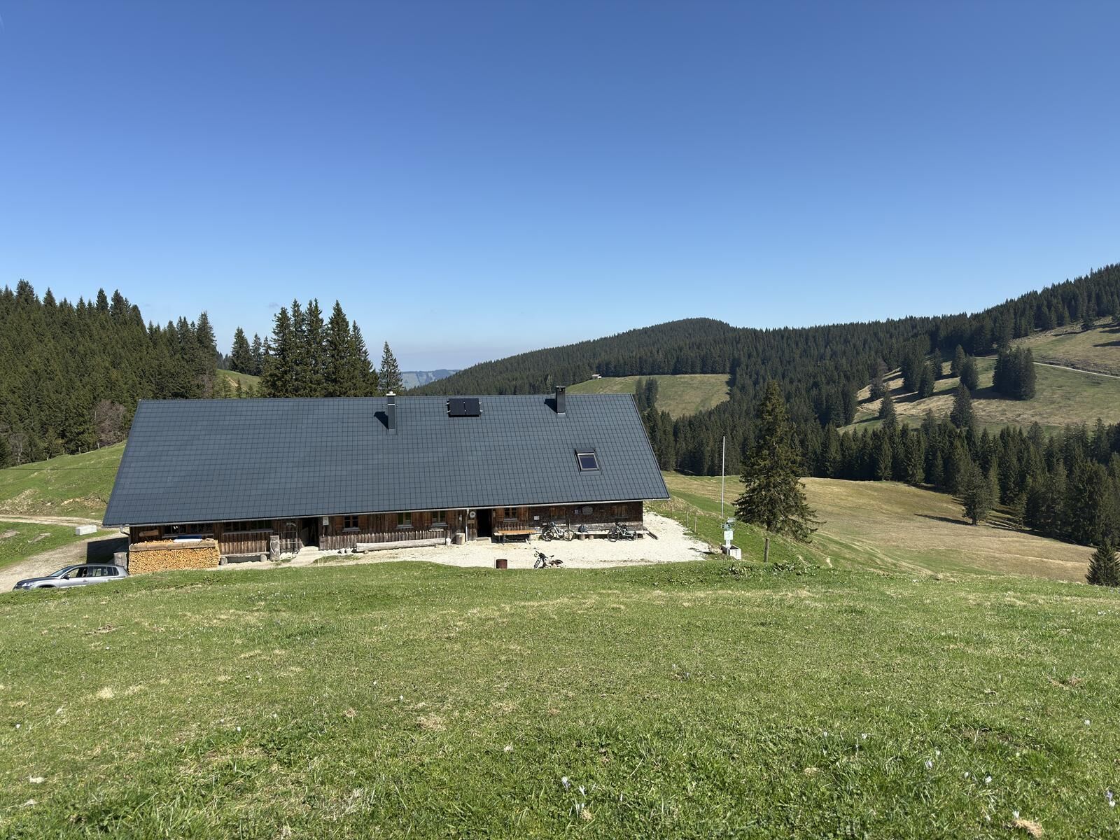
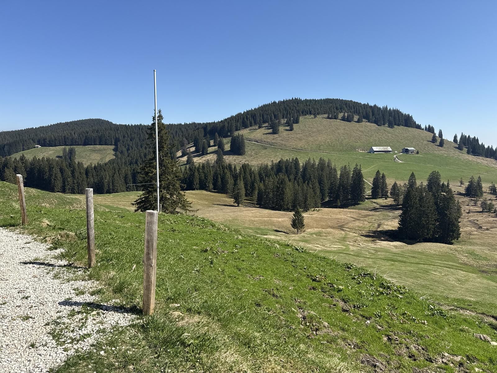
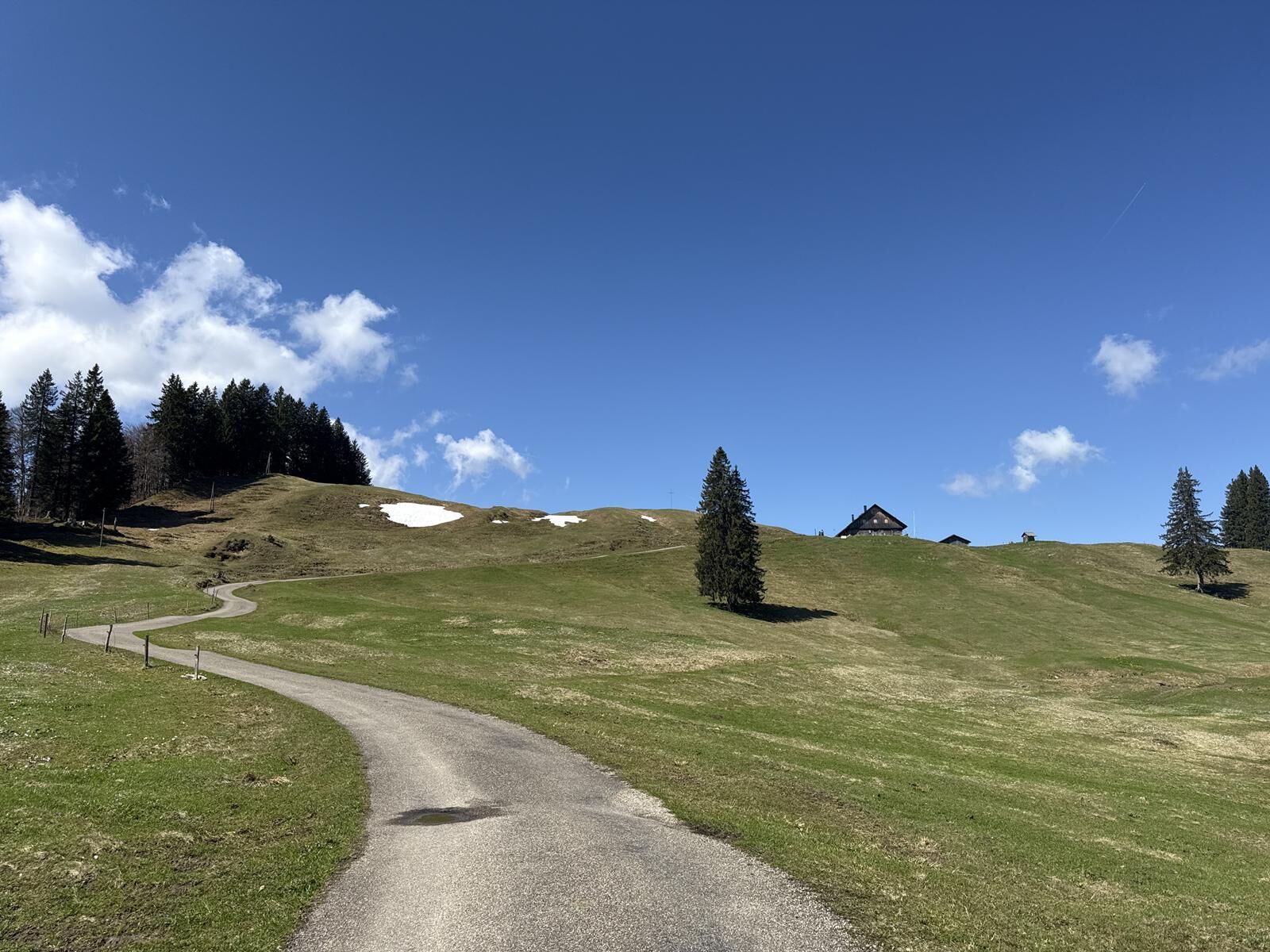
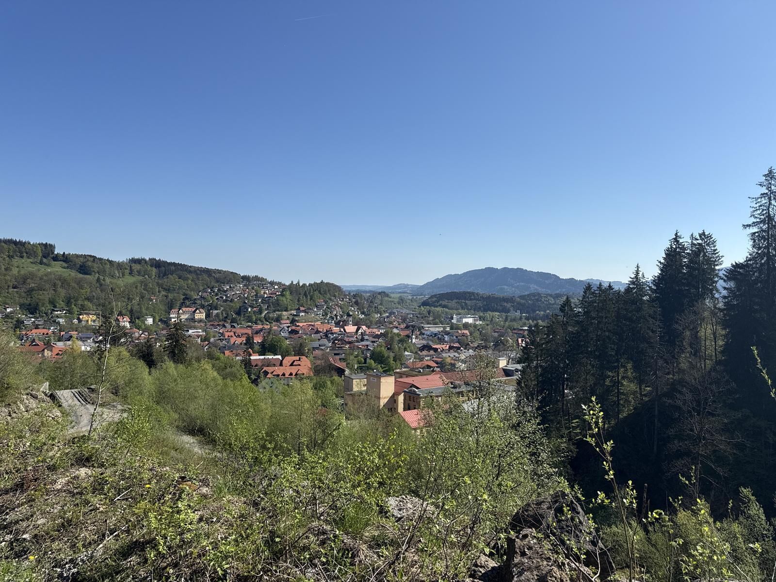
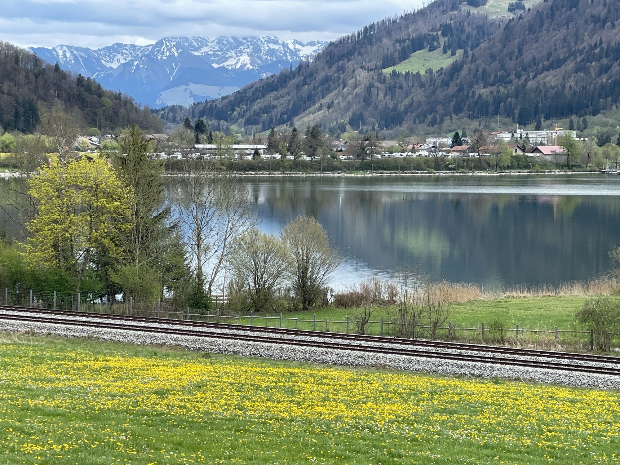
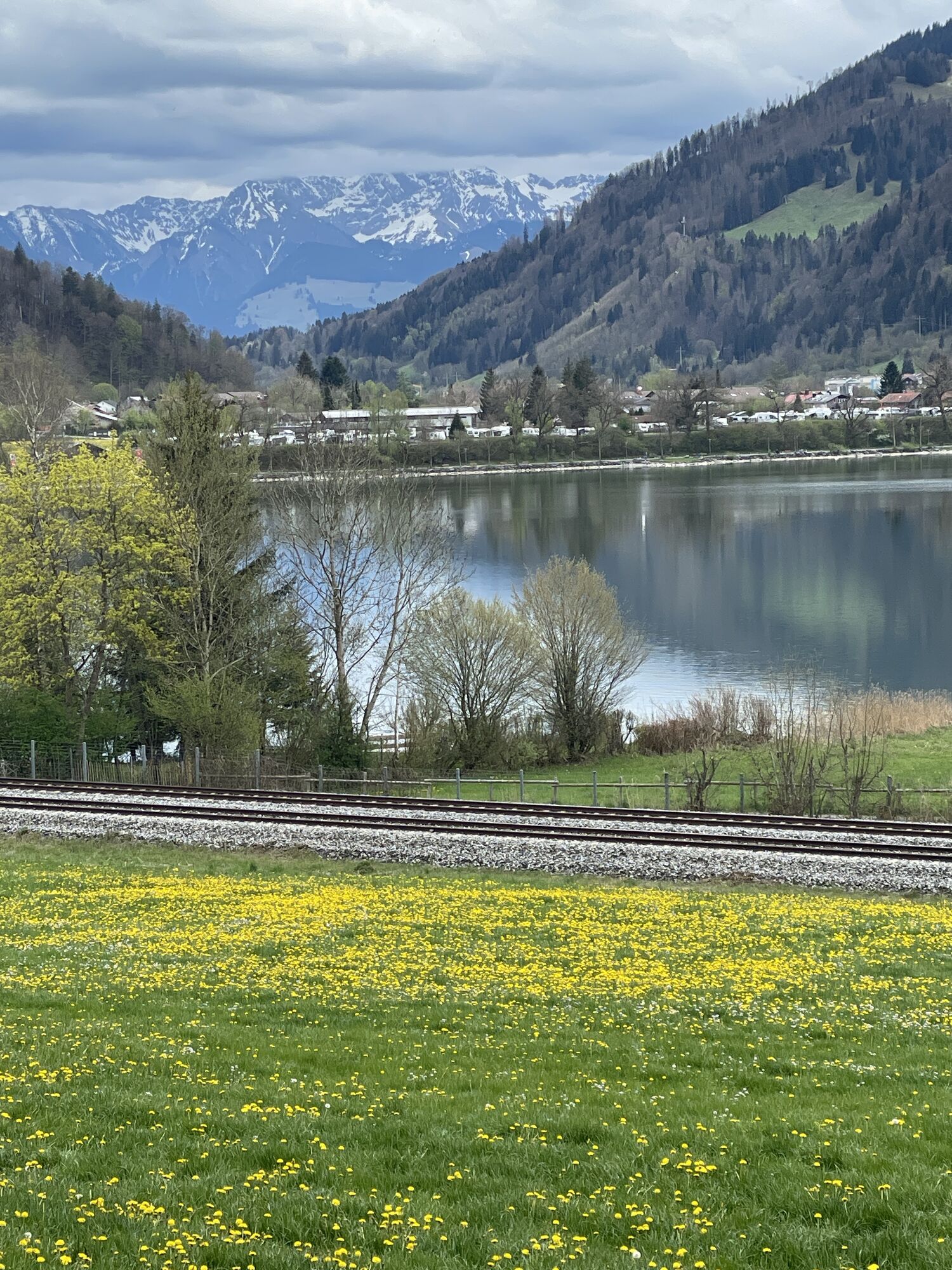
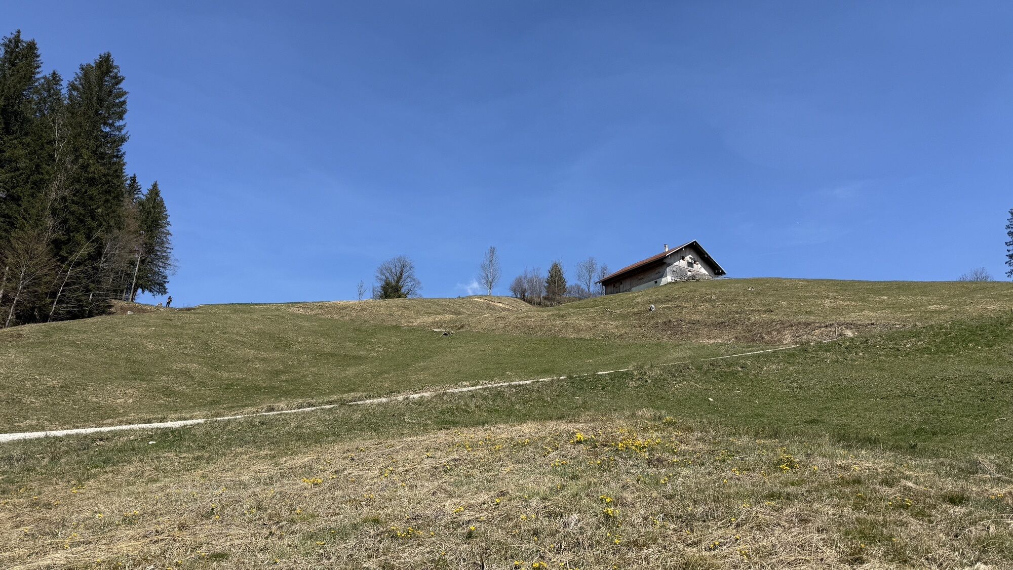
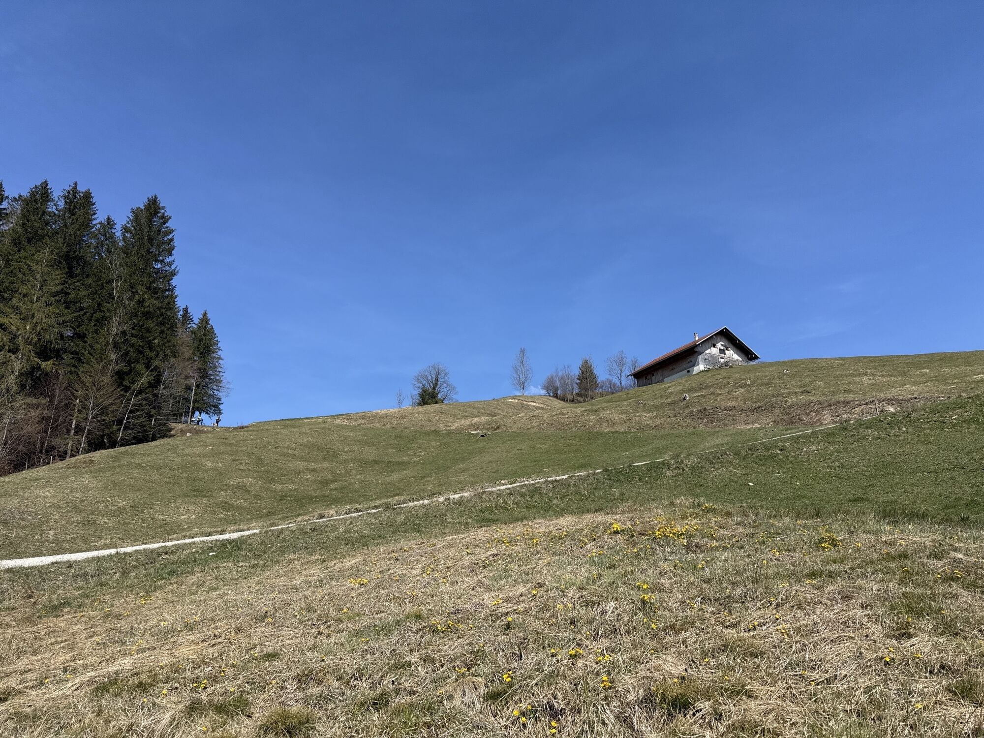
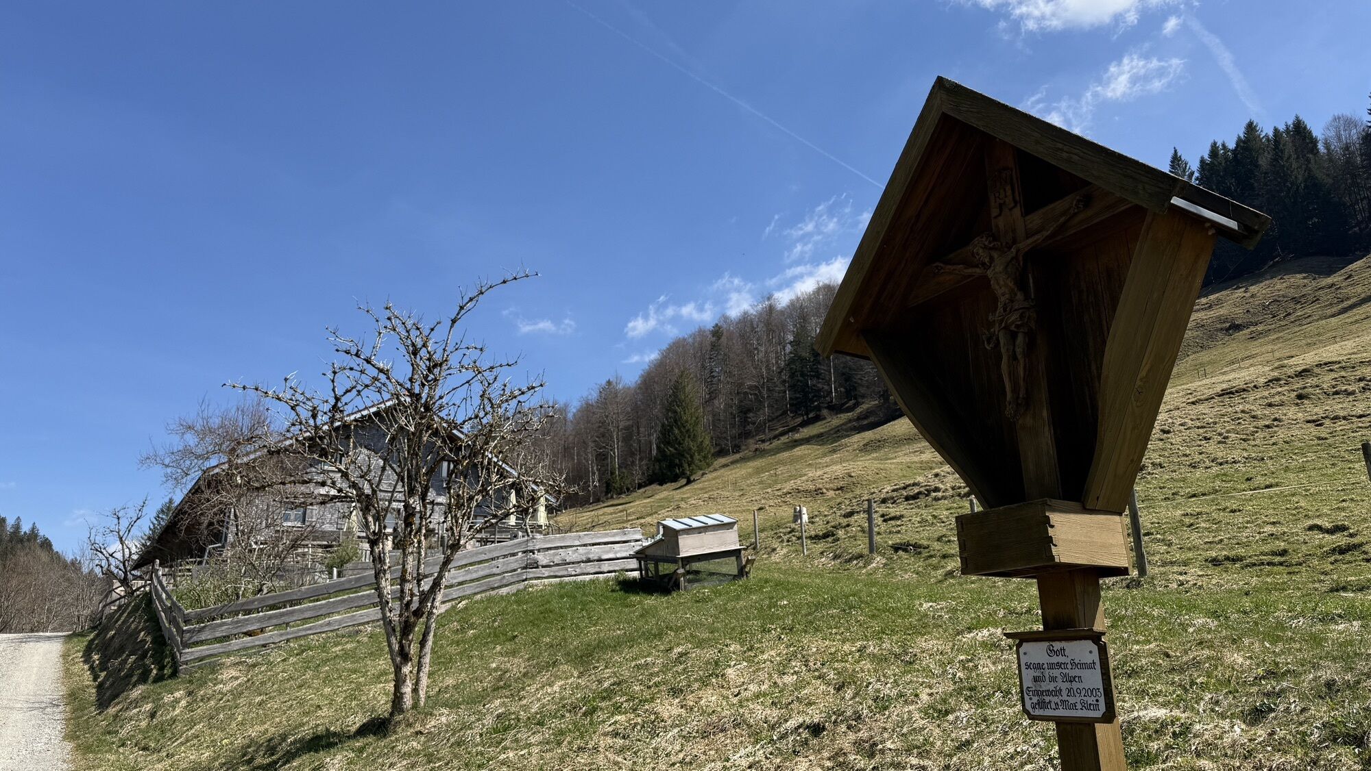
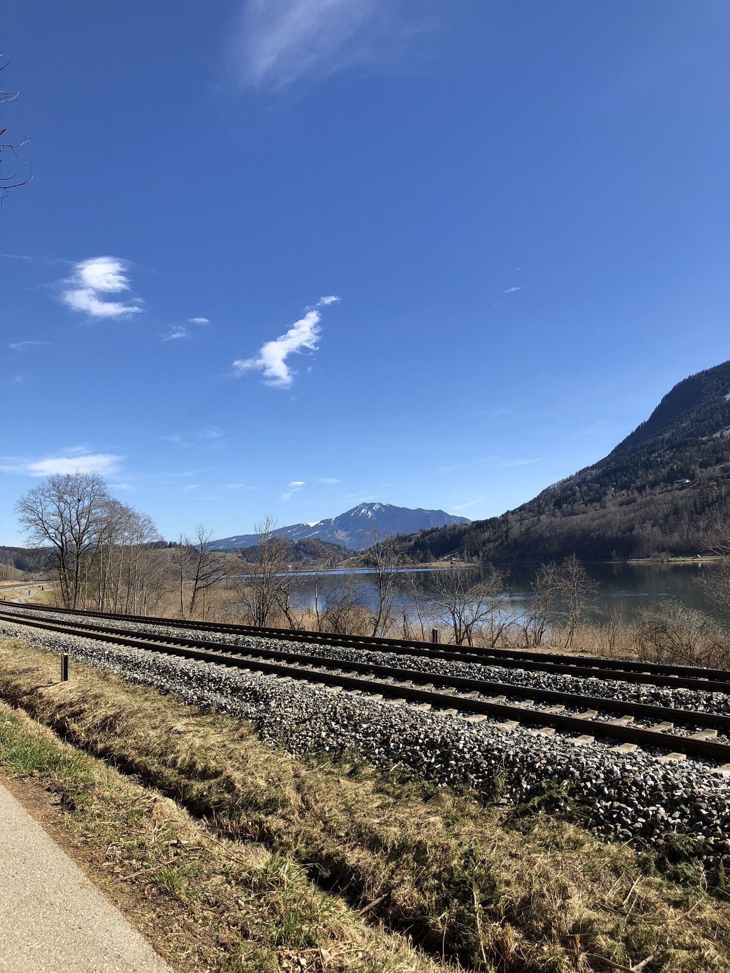
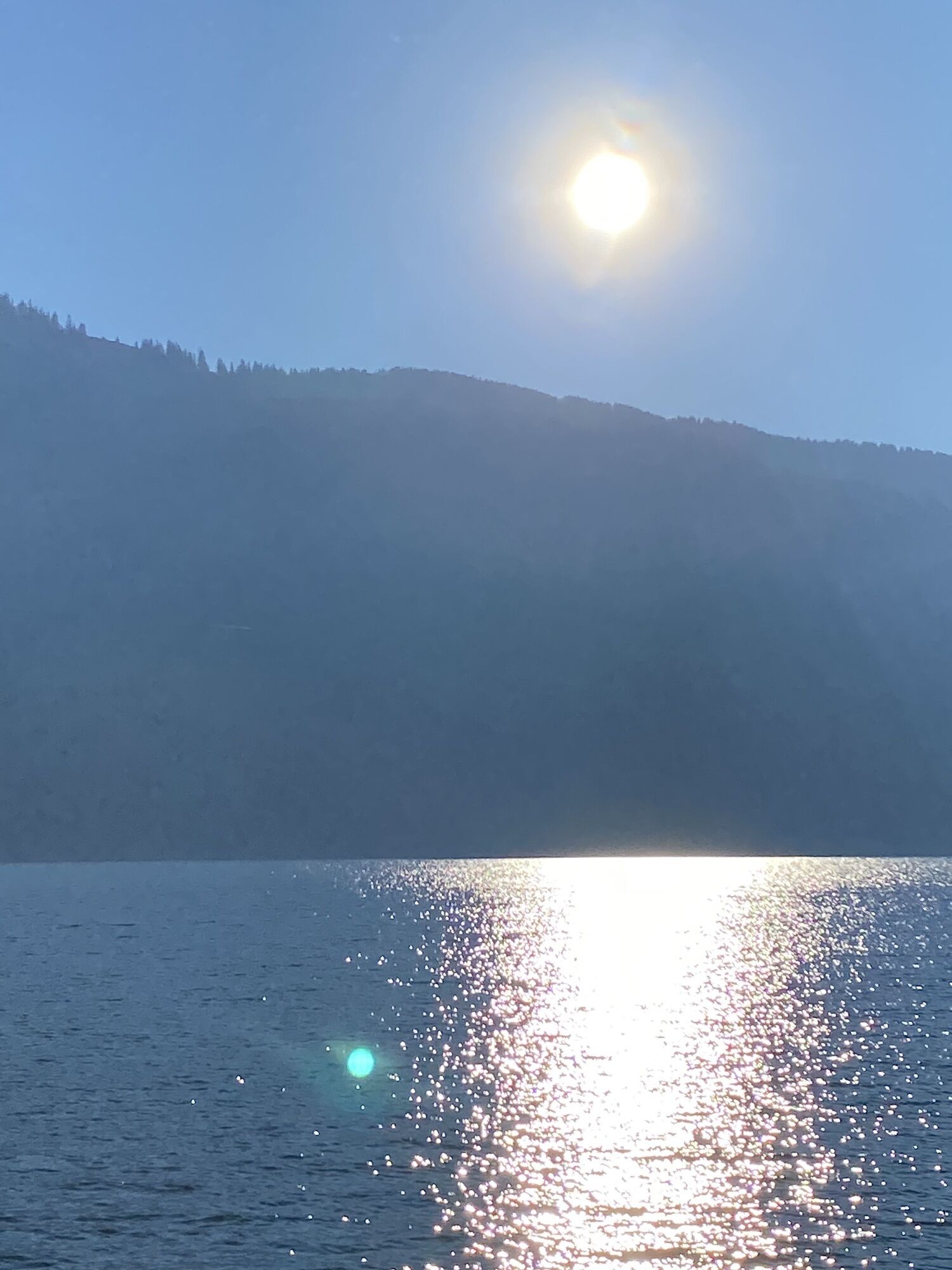
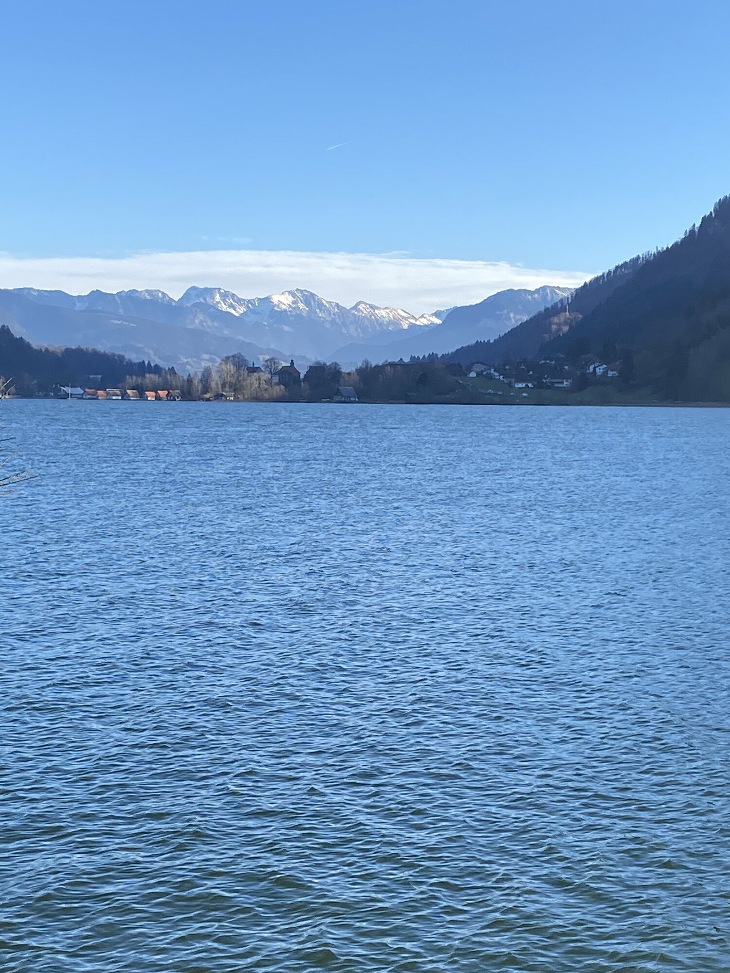
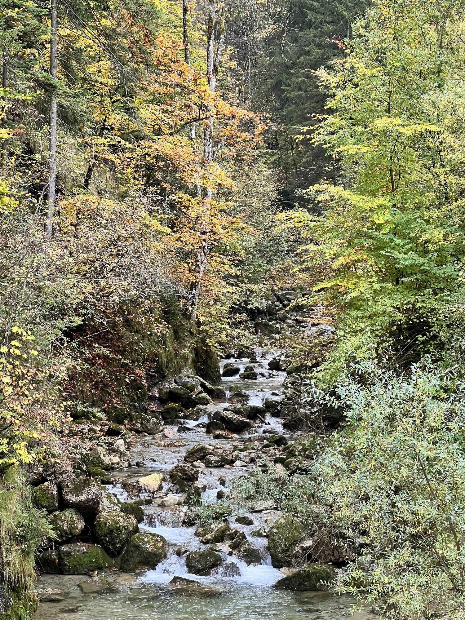
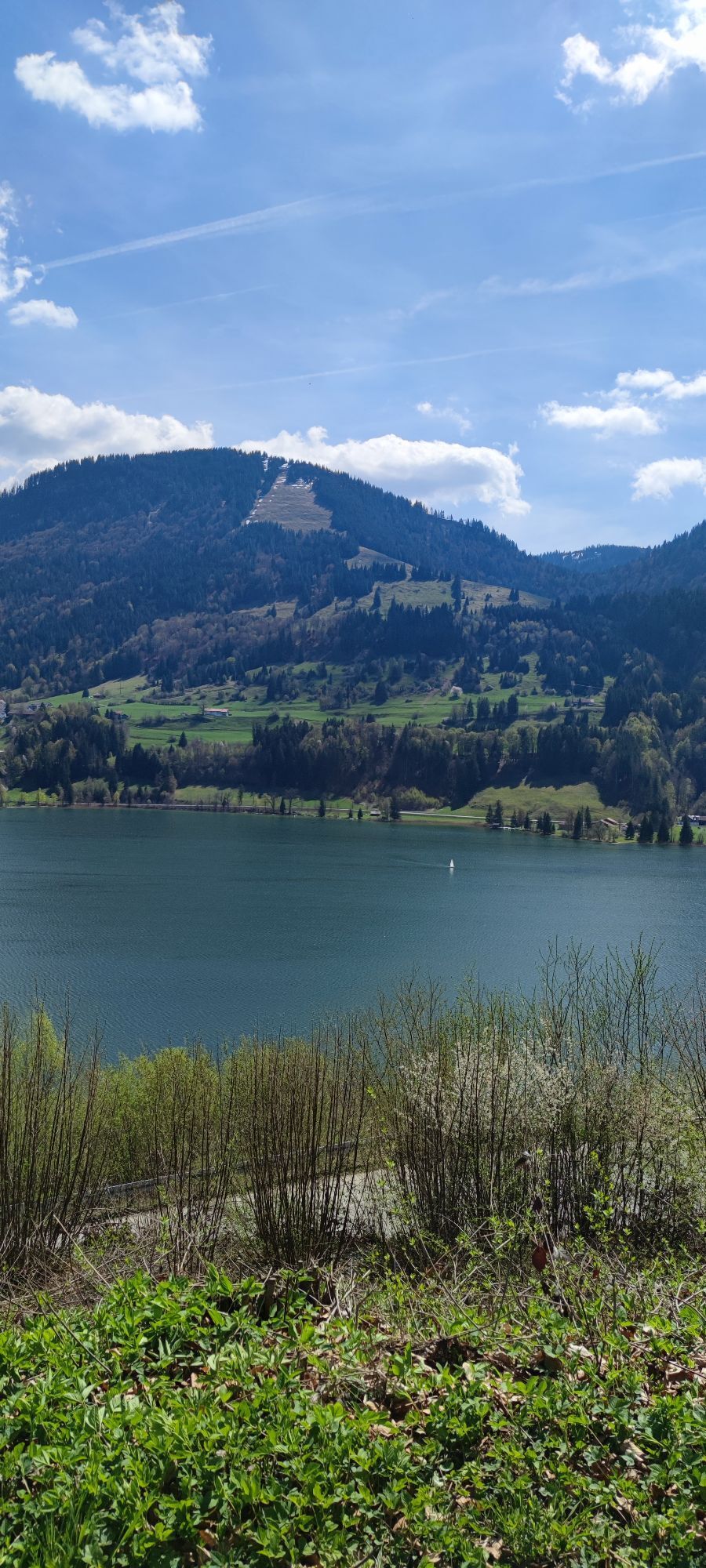
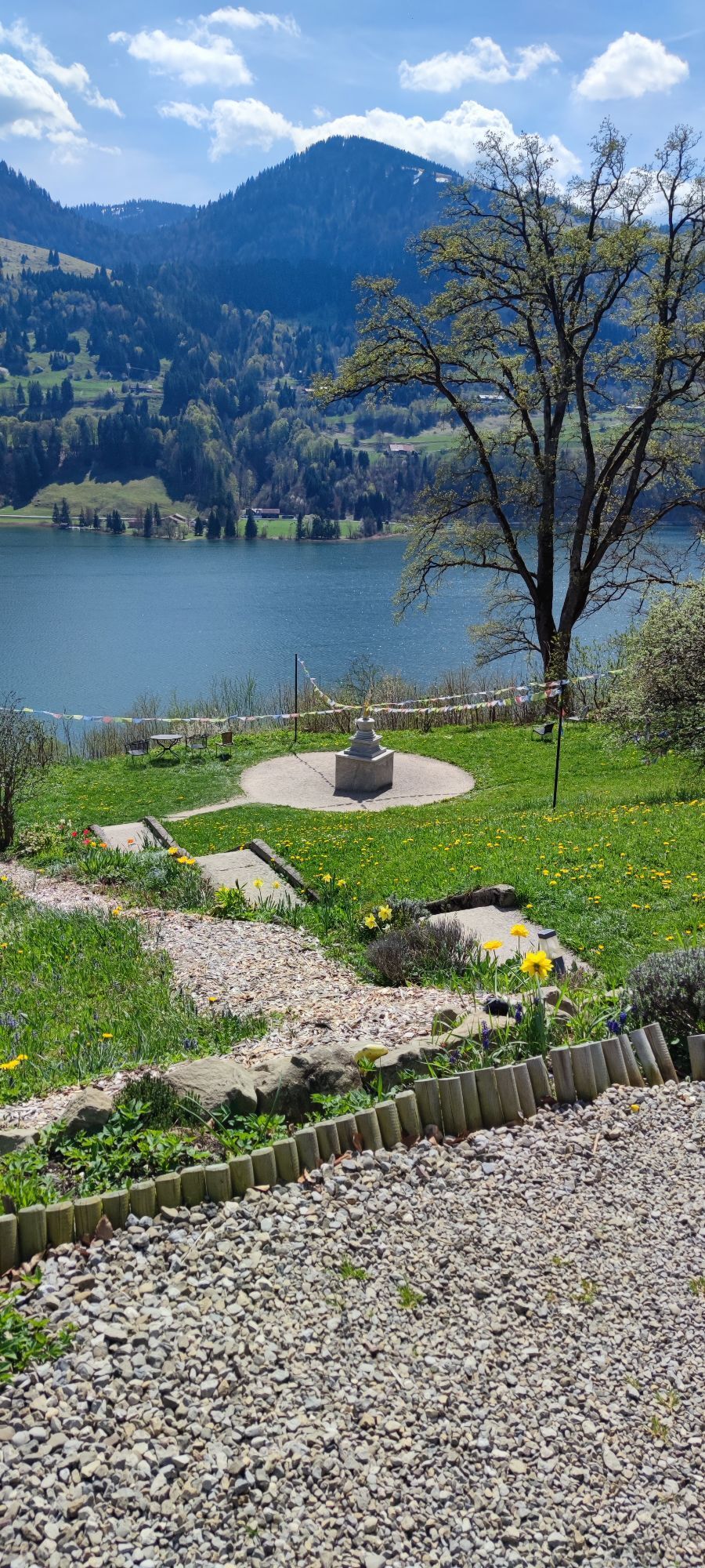
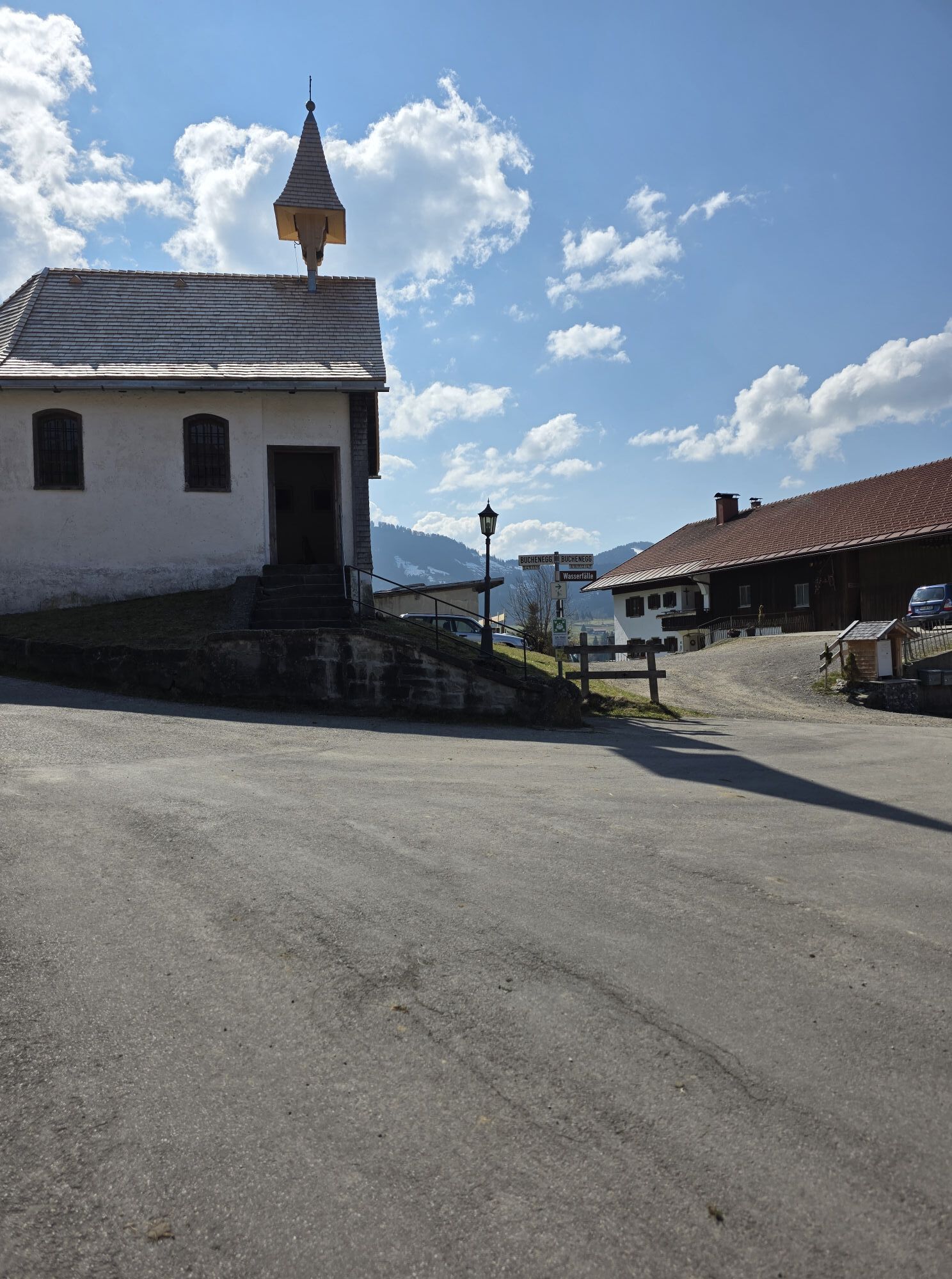
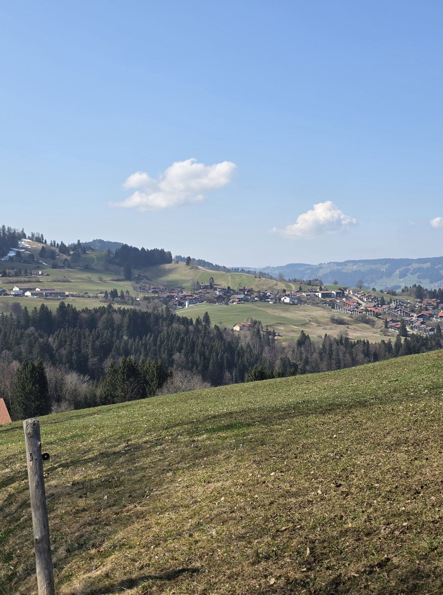
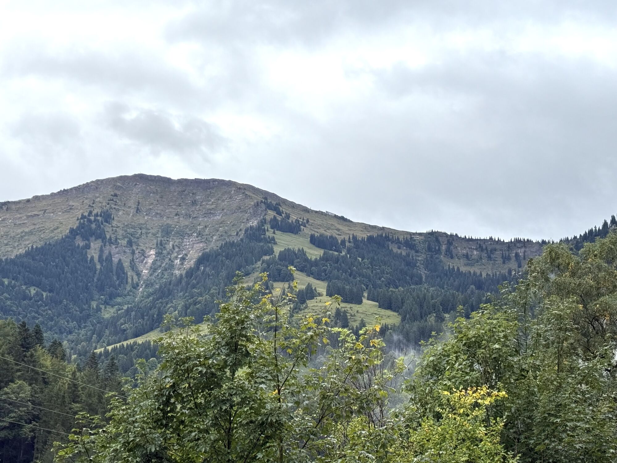

From Oberstaufen train station via Bad Rain to Buchenegg. Pass the entry to the Buchenegger waterfalls and follow the wide forest road westwards. In a large arc you reach Alpe Sonnhalde and later pass...
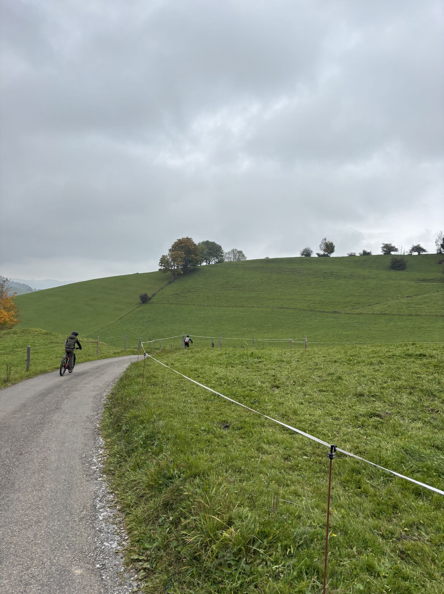
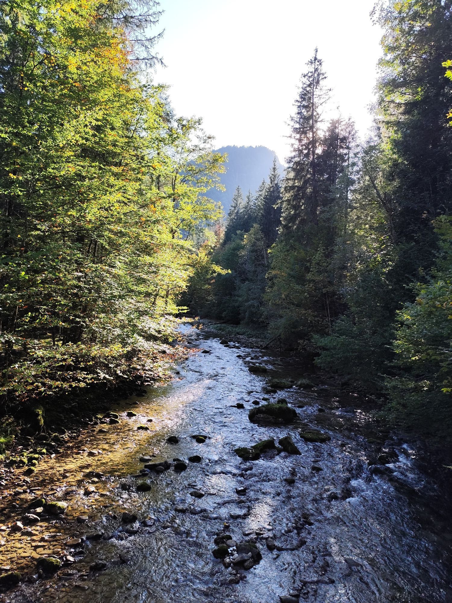
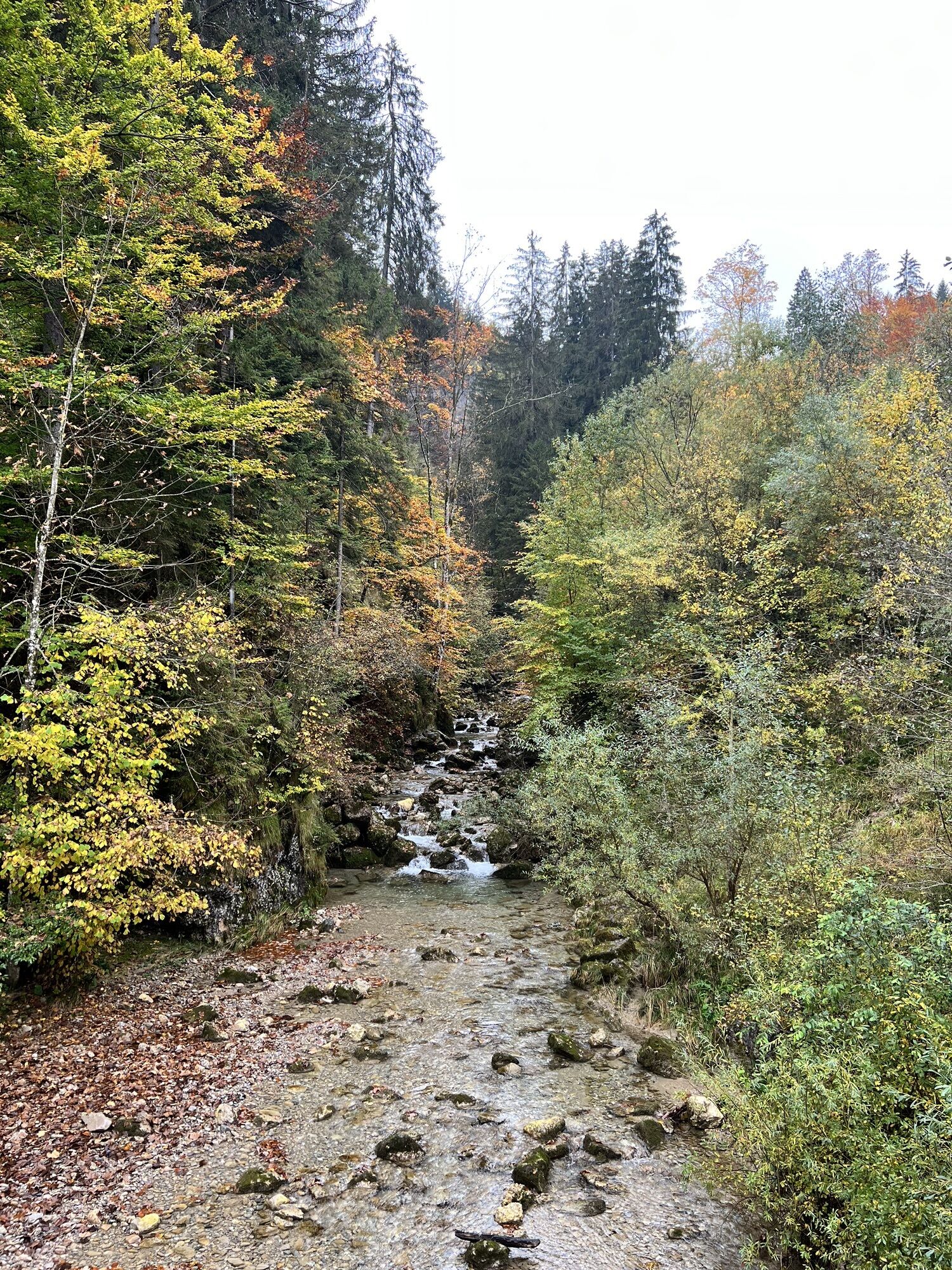
From Oberstaufen train station via Bad Rain to Buchenegg. Pass the entry to the Buchenegger waterfalls and follow the wide forest road westwards. In a large arc you reach Alpe Sonnhalde and later pass the Haspel Alpe. This is followed by a steep descent down to the Weißach. Continue upstream along the mountain stream to the valley station of the Hochgrat cable car.
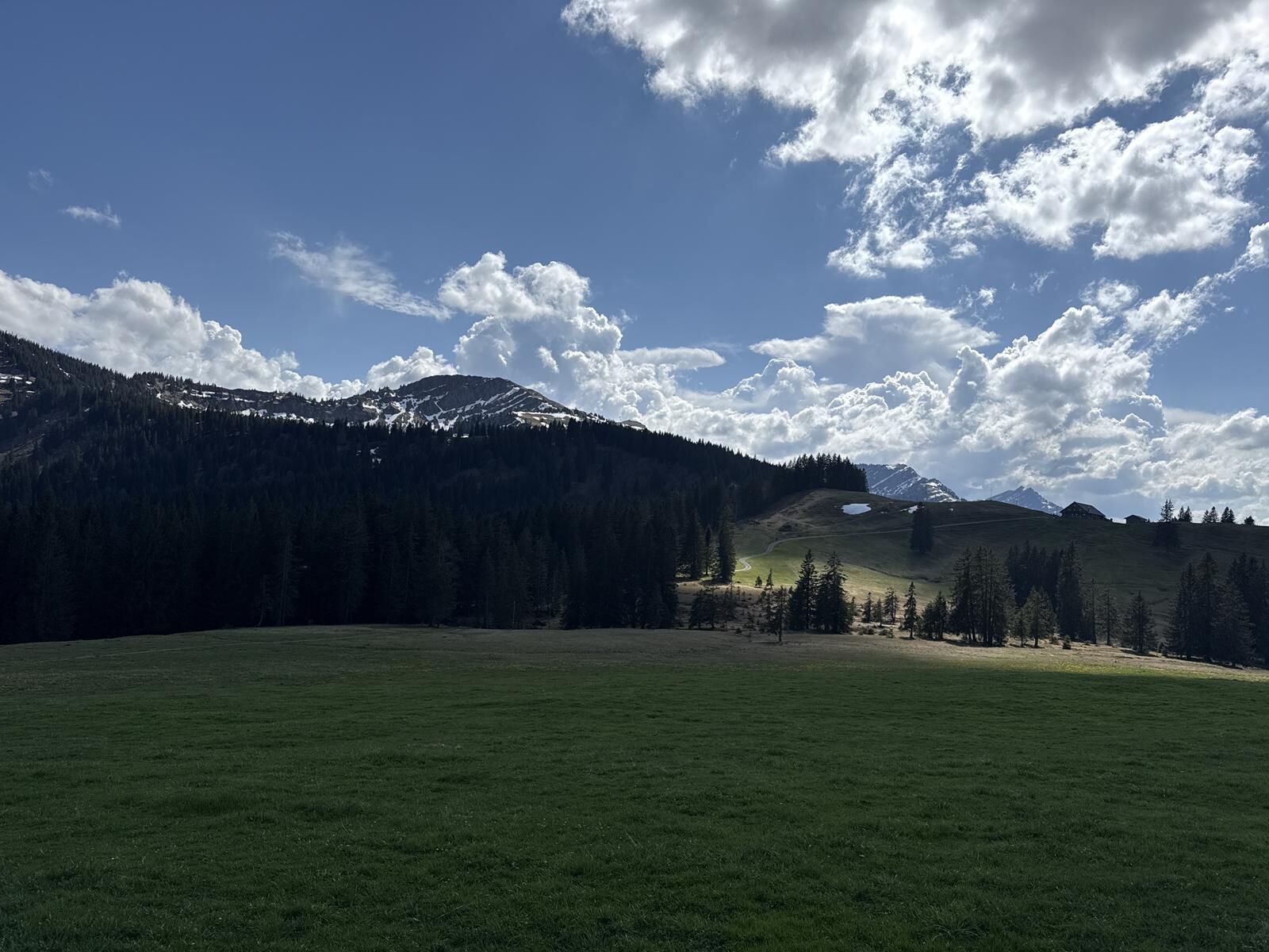
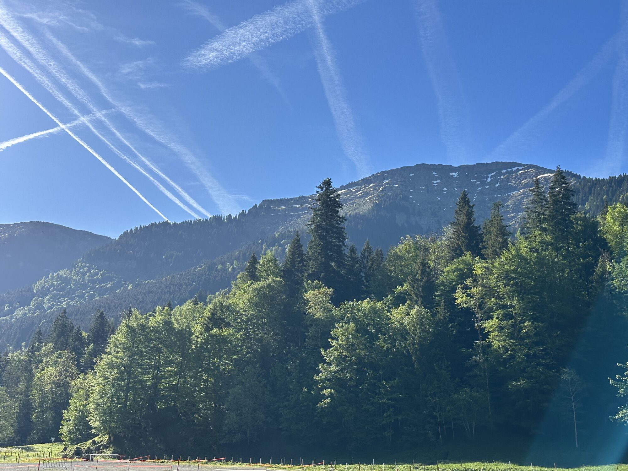
At the foot of the Nagelfluh chain, take a toll road into the Ehrenschwanger valley. At the barrier, turn left and ascend over Alpe Hinterbürschgschwend. Follow the signposts eastwards towards the rustic Alpe Unteregg. There are two options for continuing from there.
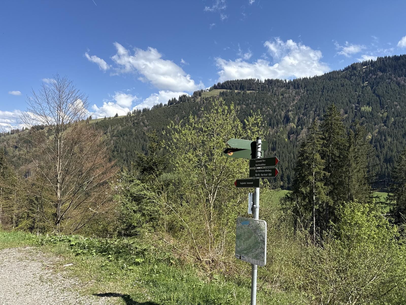
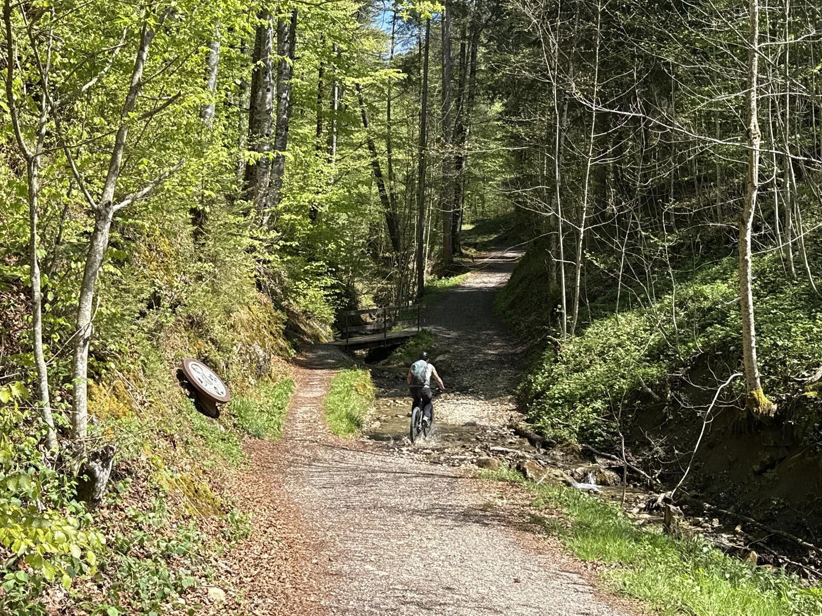
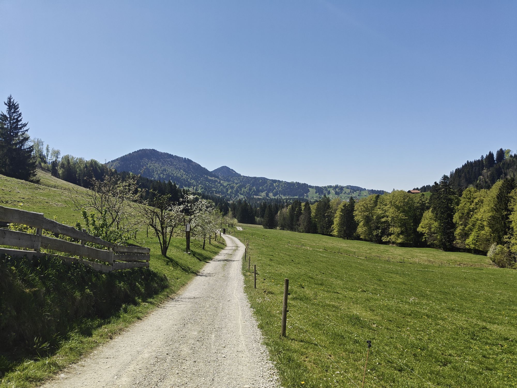
The technically easier way is to descend right and pass the hunting lodge of the Waldburg-Zeil family. An idyllic section before you have to pedal hard. There follow several steep hairpin bends on asphalt, then on gravel with beautiful views up to the highest point of the route. From there downhill to Alpe Mittelberg. Below the Alpe a short meadow trail leads through the moor area. Then it goes near Seifenmoos Alpe down through Steigbachtal partly on asphalt, partly on gravel, past the cemetery and through the underpass to Immenstadt.
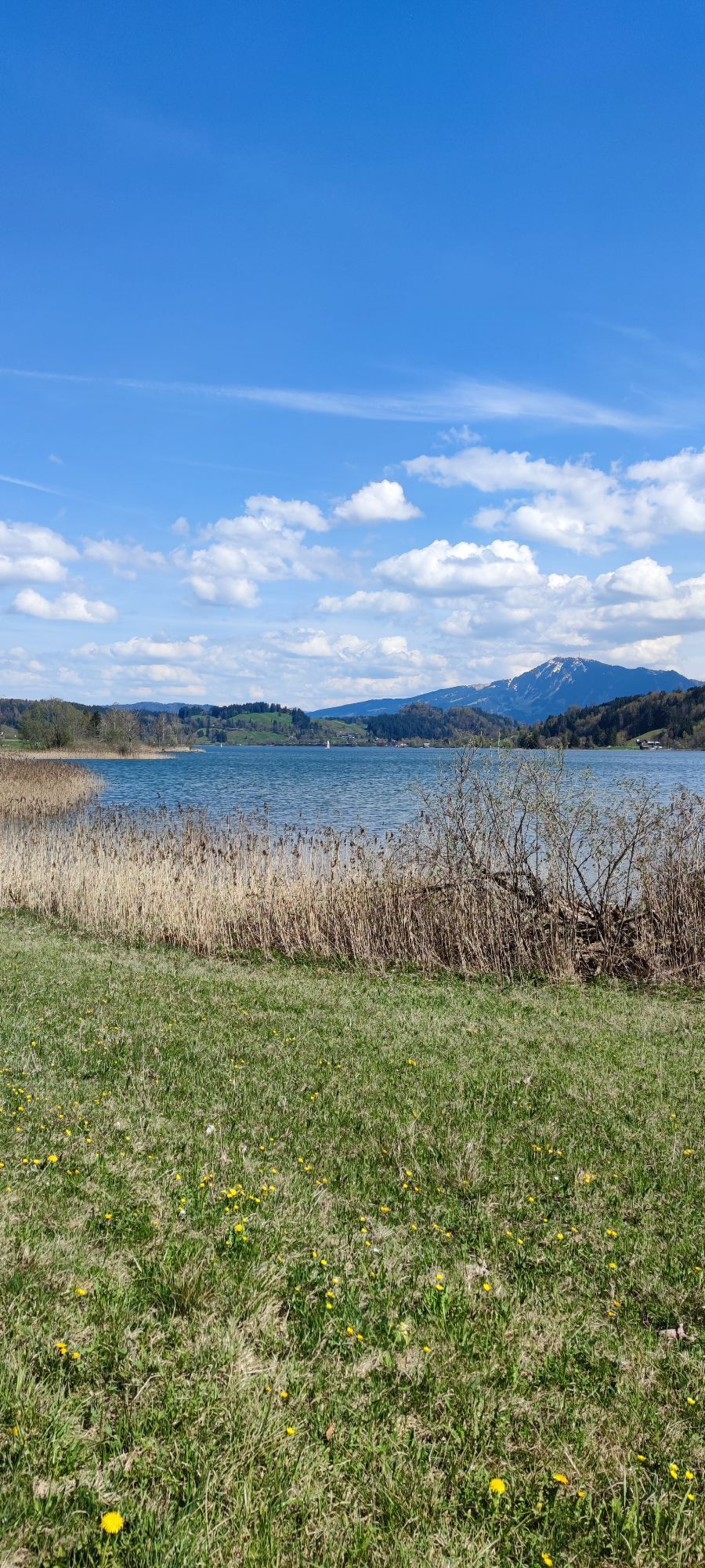
Follow the bike path to the roundabout at the cattle market square, then right onto Missener Straße, which leads to the underpass at Bühl by the large Alpsee. On the service road via Trieblings and Ratholz to just before Wiedemannsdorf. Here turn right into Alte Salzstraße and back via the districts Lamprechts, Salmas, Knechtenhofen and Wengen to Oberstaufen. Alternatively via Konstanzer and Thalkirchdorf to Hündle and back to Oberstaufen.

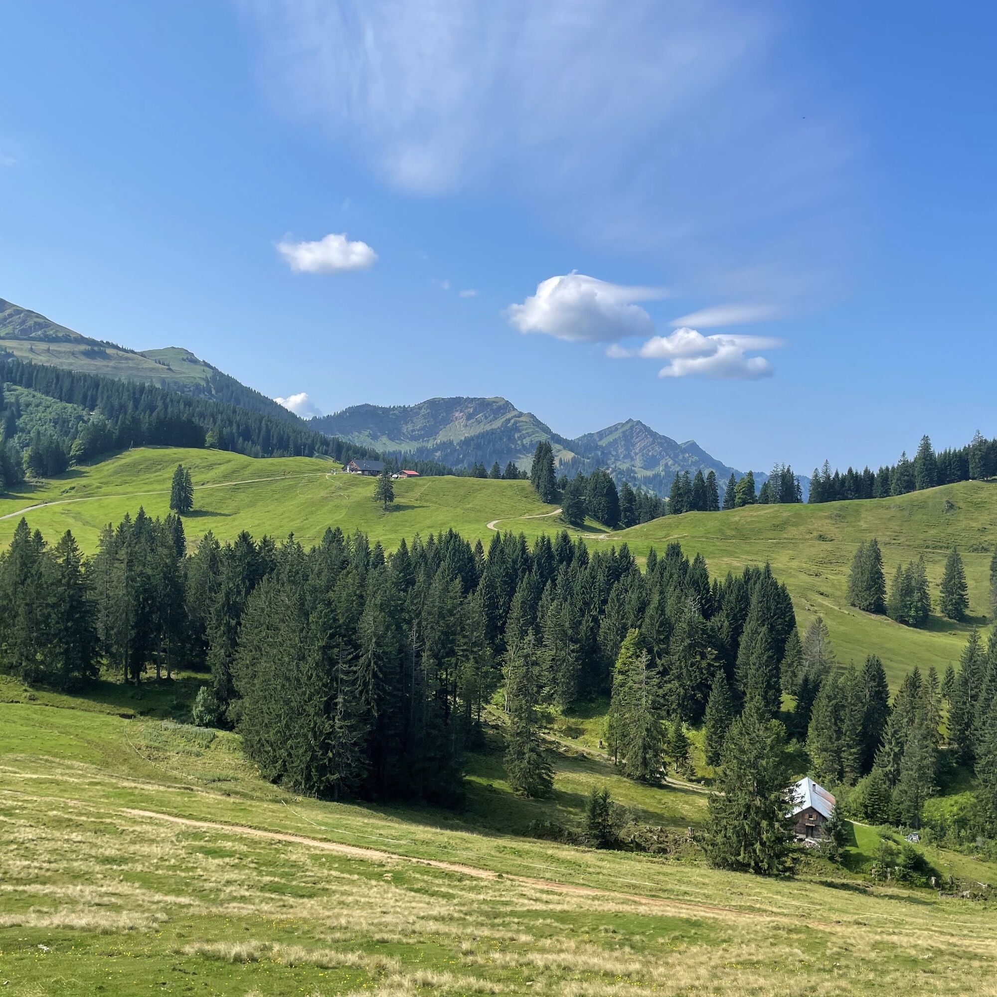
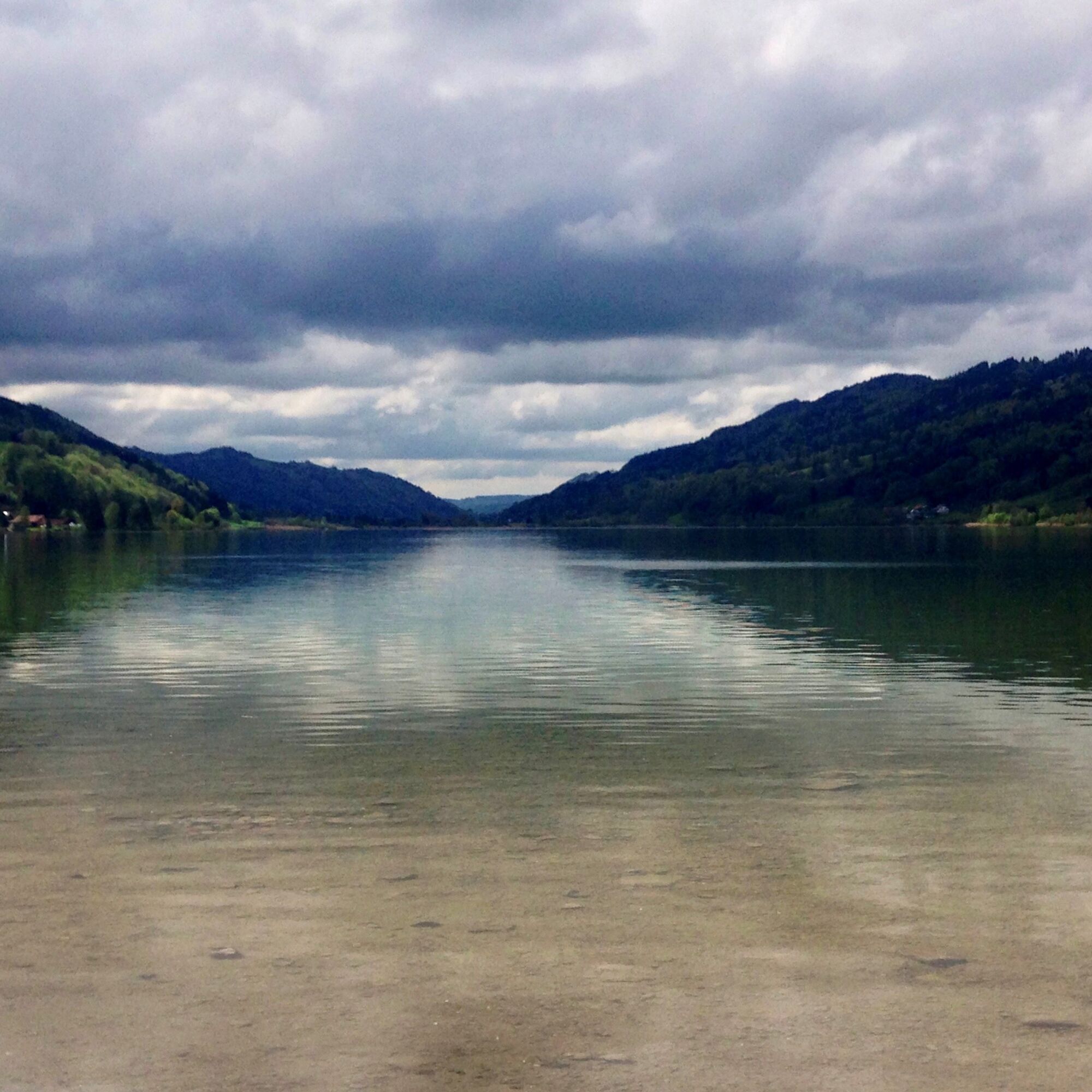
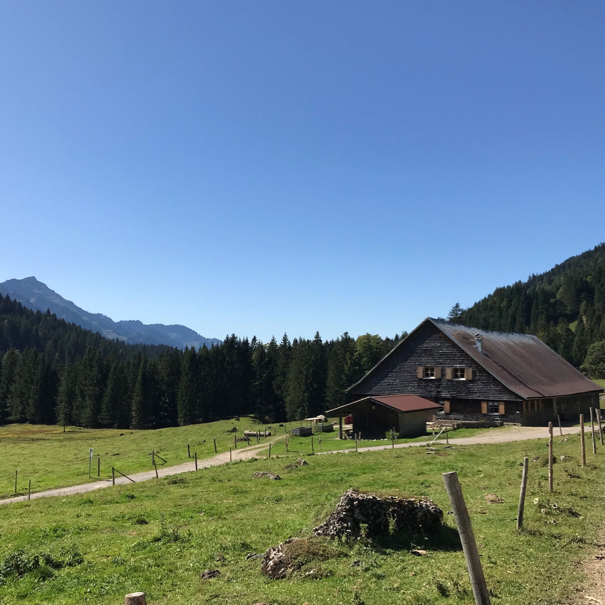
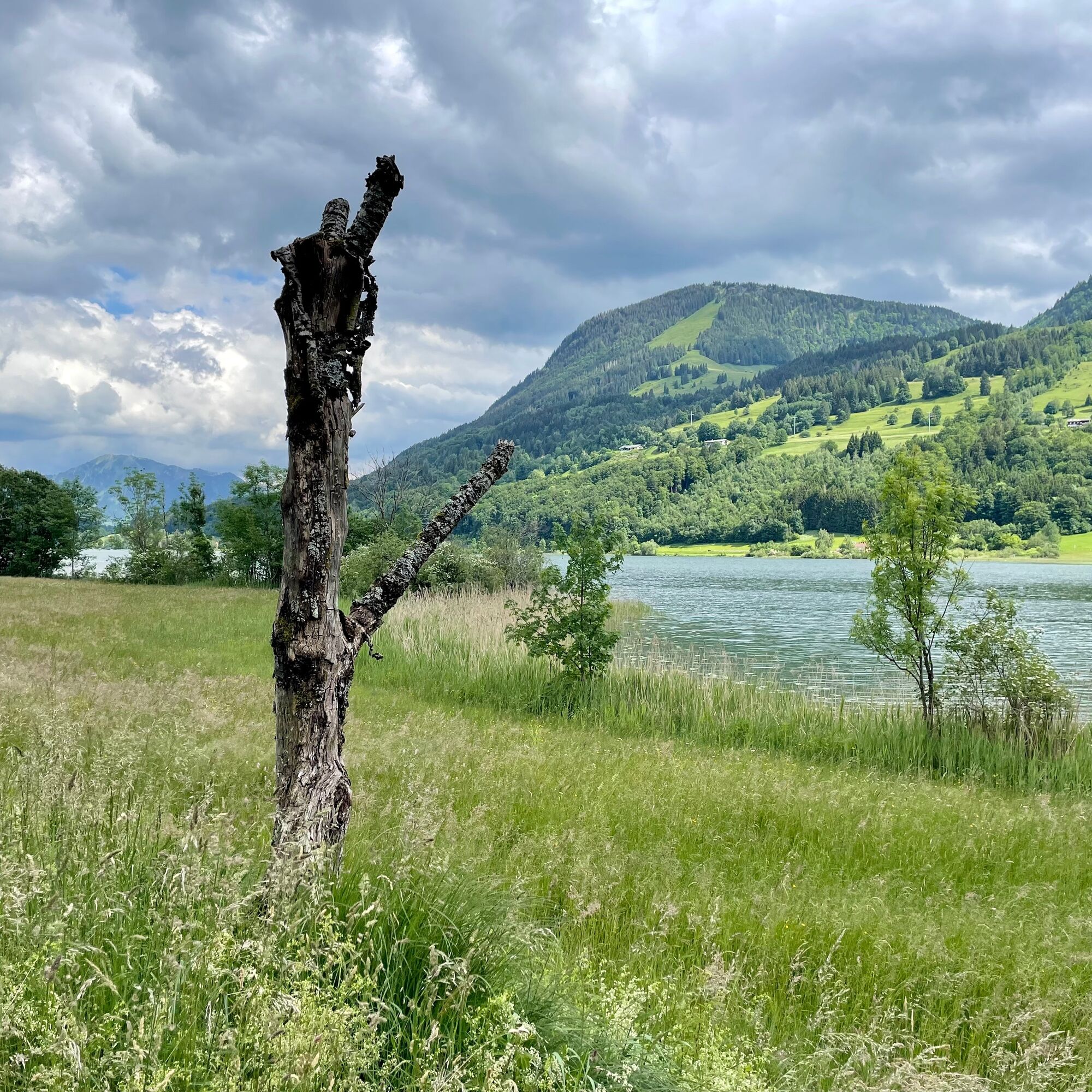
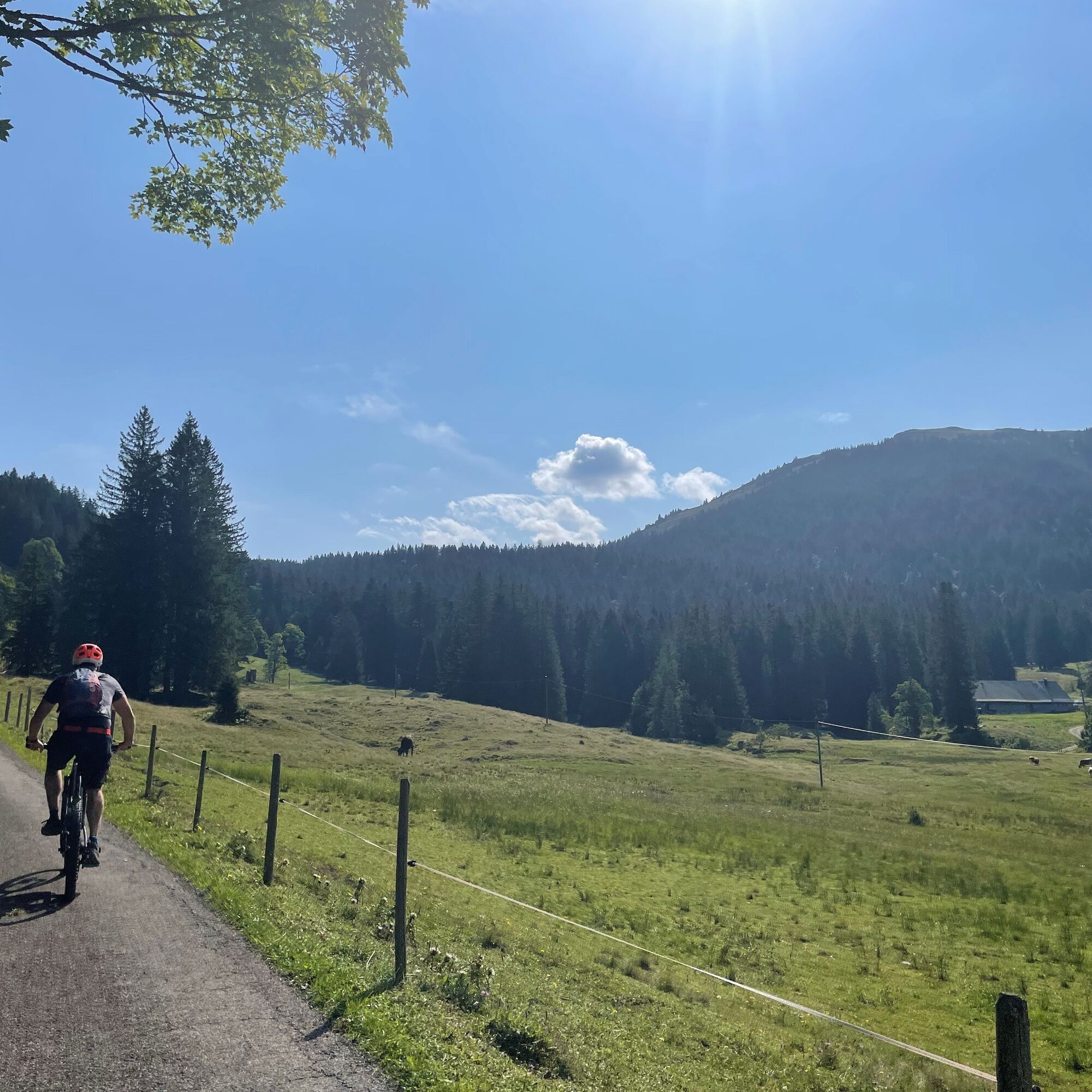

Oberstaufen train station - Bad Rain - Buchenegg - Alpe Sonnhalde - Hochgrat cable car valley station - Ehrenschwanger valley - Alpe Unteregg - hunting lodge - Alpe Mittelberg - Steigbachtal - Immenstadt - Thalkirchdorf - Oberstaufen
Ano
We recommend MTB tires for this route. A technically more demanding return route for mountain bikers is offered by the panoramic route Wildes Allgäu.
There is a Bosch charging station for e-bikes at Alpe Sonnhalde.

Webové kamery z prohlídky
-
Hochgratbahn Bergstation
-
Oberstaufen
-
Skilifte Sinswang
-
Oberstaufen - Biohotel Schratt
-
Oberstaufen - Biohotel Schratt
-
Segelclub Alpsee
-
Talstation Ossi-Reichert Bahn
-
Oberstaufen
-
Segelclub Alpsee
-
Mittaggipfel
-
Sonthofen - Panzer & Braun Tiefbau
-
Fluhexpress Berg
-
Fluhexpress Berg
-
Fluhexpress Berg
-
Fluhexpress Berg
-
Alpe Hohenschwand
-
Oberstaufen
-
Oberstaufen
-
Oberstaufen
-
Oberstaufen
-
Oberstaufen
-
Alpe Birkach
-
Thaler Höhe
-
Petersthal am Rottachsee
-
Petersthal am Rottachsee
-
Oberstaufen
-
Oberstaufen - Rosenalp
-
Fluhexpress Bergstation
-
Hündlebahn Bergstation
-
Imberghaus
-
Thaler Höhe
-
Oberstaufen
-
Ofterschwang - Allgäuer Berghof
-
Missen-Börlas
-
Ortsansicht Missen
-
Blaichach - Gunzesried
-
Alpsee Bergwelt
-
Alpsee Bergwelt
-
Alpsee Bergwelt - Bärenfalle
-
Alpe Birkach - Nagelfluh
Získejte přehled
Vždy živě na místě s více než 9 500 webkamerami. bergfex Jako uživatel Pro si nyní můžete zobrazit odpovídající webové kamery pro mnoho prohlídek v aplikaci prohlídky z. Můžete si tak přímo prohlédnout aktuální podmínky.
Oblíbené prohlídky v okolí
-
4.7
Steibis - Buchenegger Waterfalls
středníTuristika 6.47 km -
4.5
Hittisau | Wasserwanderweg
světloTematická stezka 7 km -
4.4
Starzlachklamm
středníTuristika 5.30 km -
5.0
Nagelfluh ridge route Hochgrat - Mittag
heavyTuristika 14.0 km -
4.7
Rindalphorn und Hochgrat
středníTuristika 15.6 km -
4.9
Immenstädter Horn
světloTuristika 9.35 km -
3.7
Rundtour Mittag
světloTuristika 15.7 km -
5.0
Siedelalpe Runde von See - Immenstadt
světloTuristika 10.3 km -
4.5
Immenstädter Horn - Gschwender Horn
světloTuristika 10 km -
4.4
Circular route Steibis to Dreiländerblick
středníTuristika 7.95 km
Pěší turistika a stopování


Nenechte si ujít nabídky a inspiraci pro vaši příští dovolenou
Vaše e-mailová adresa byl přidán do poštovního seznamu.





