




MTB 95 Hochstaufen-Runde
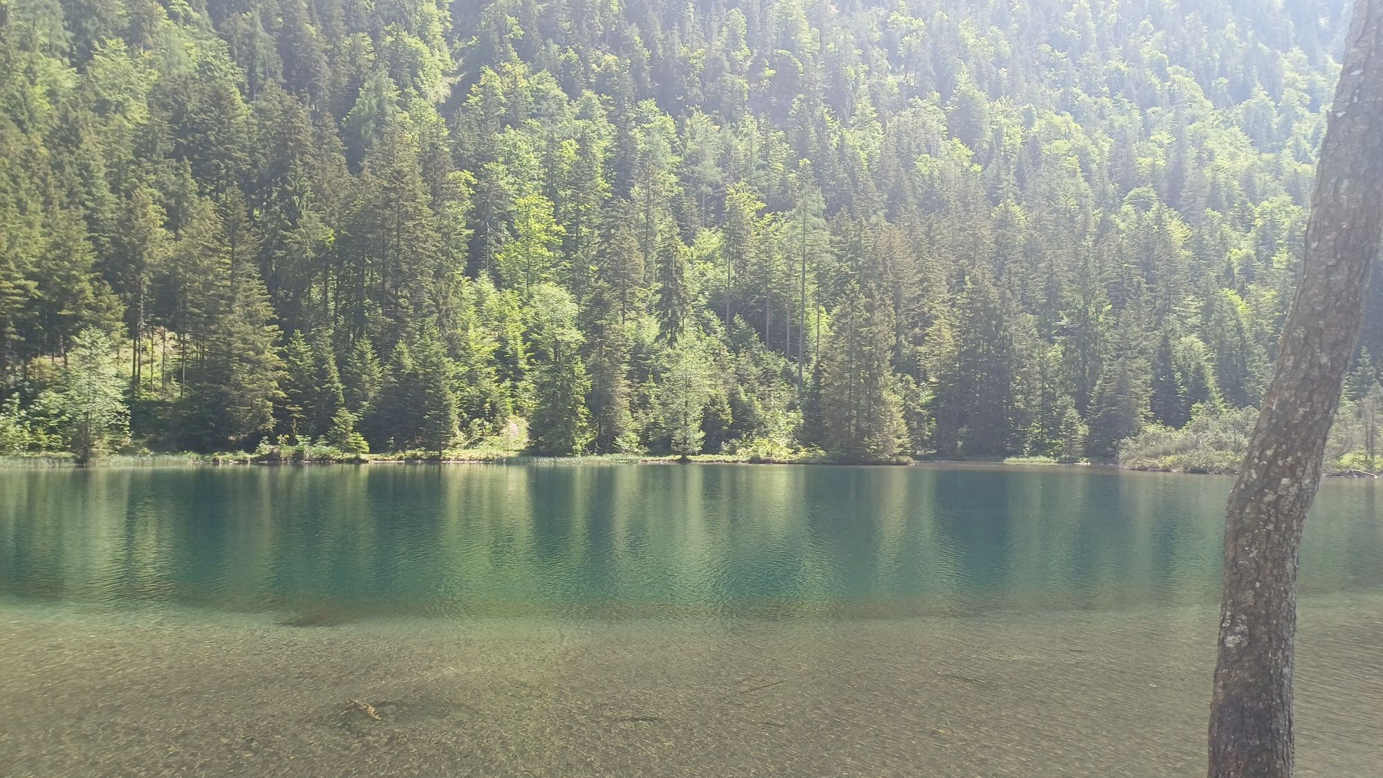
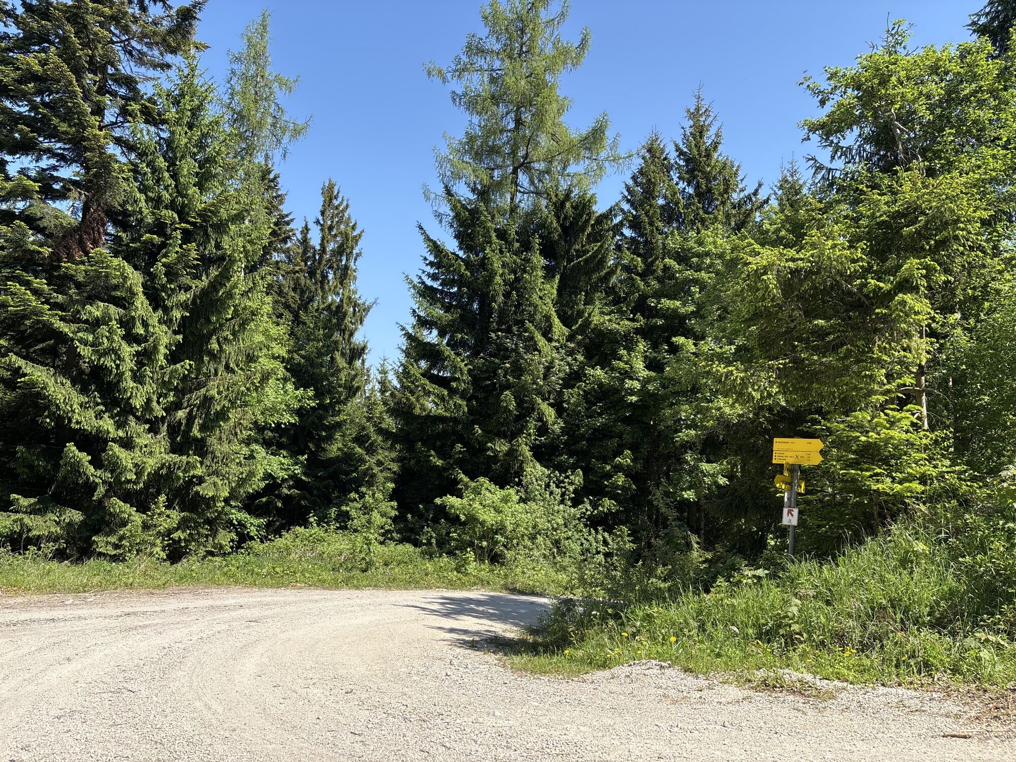
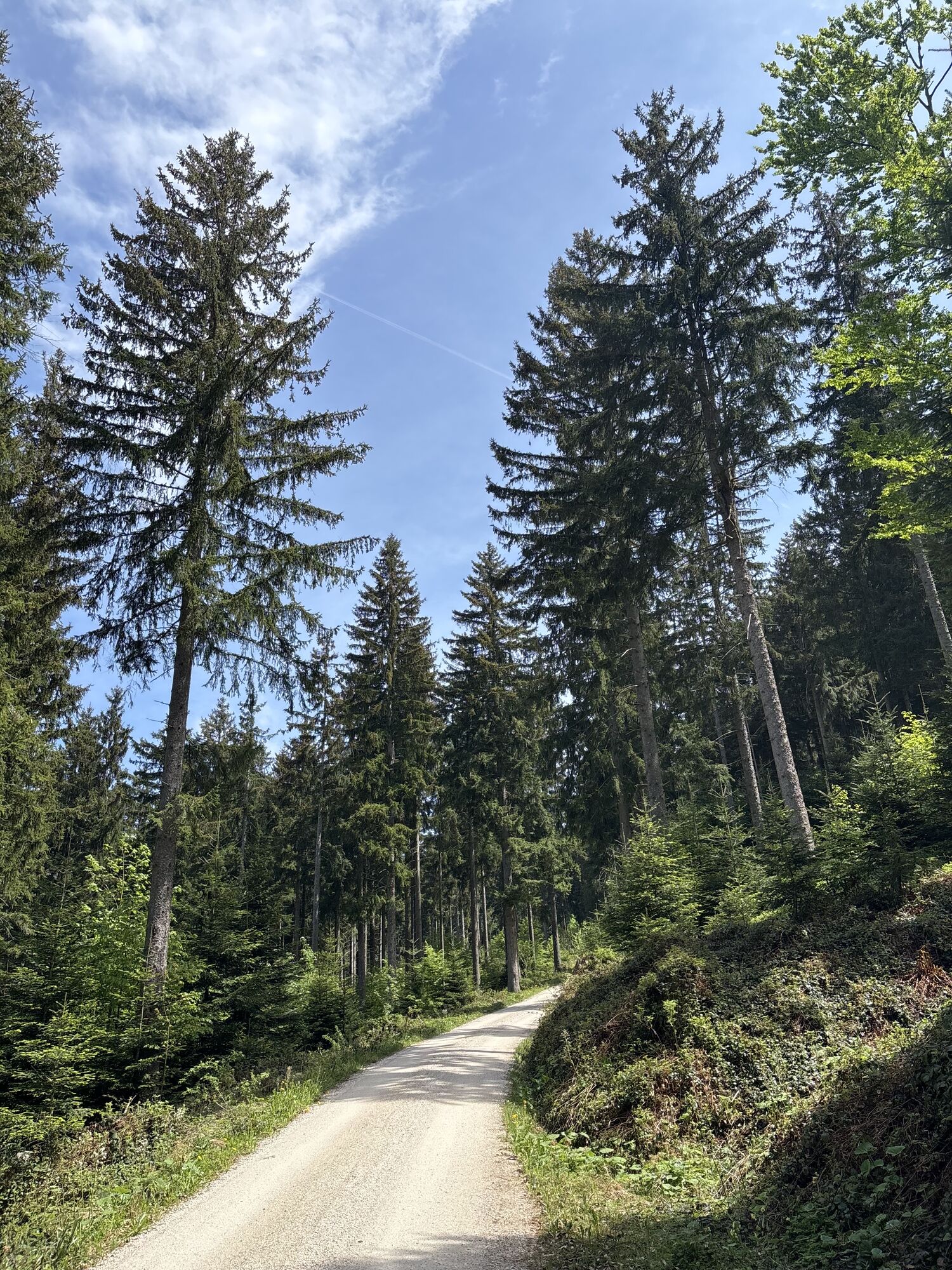
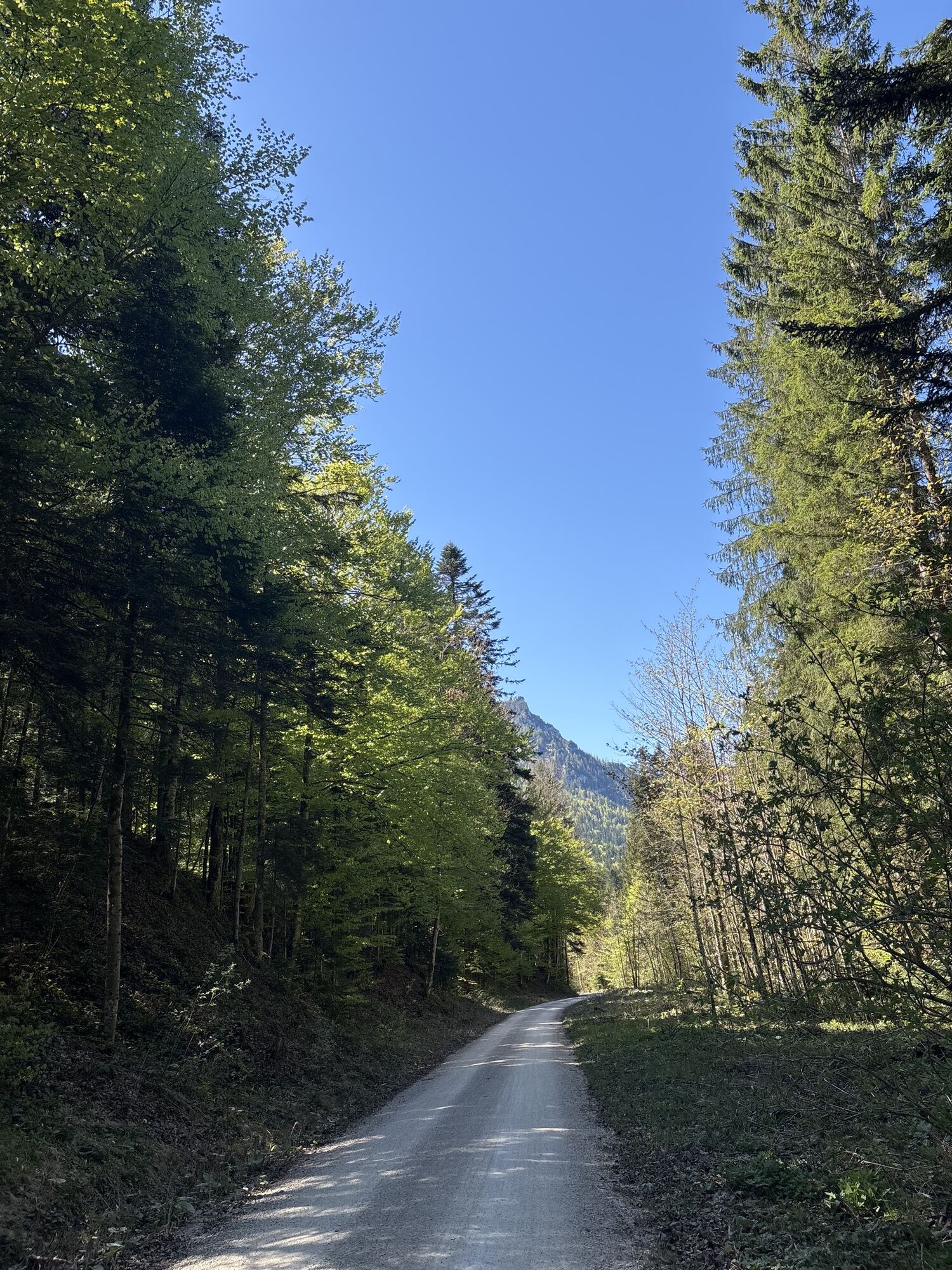
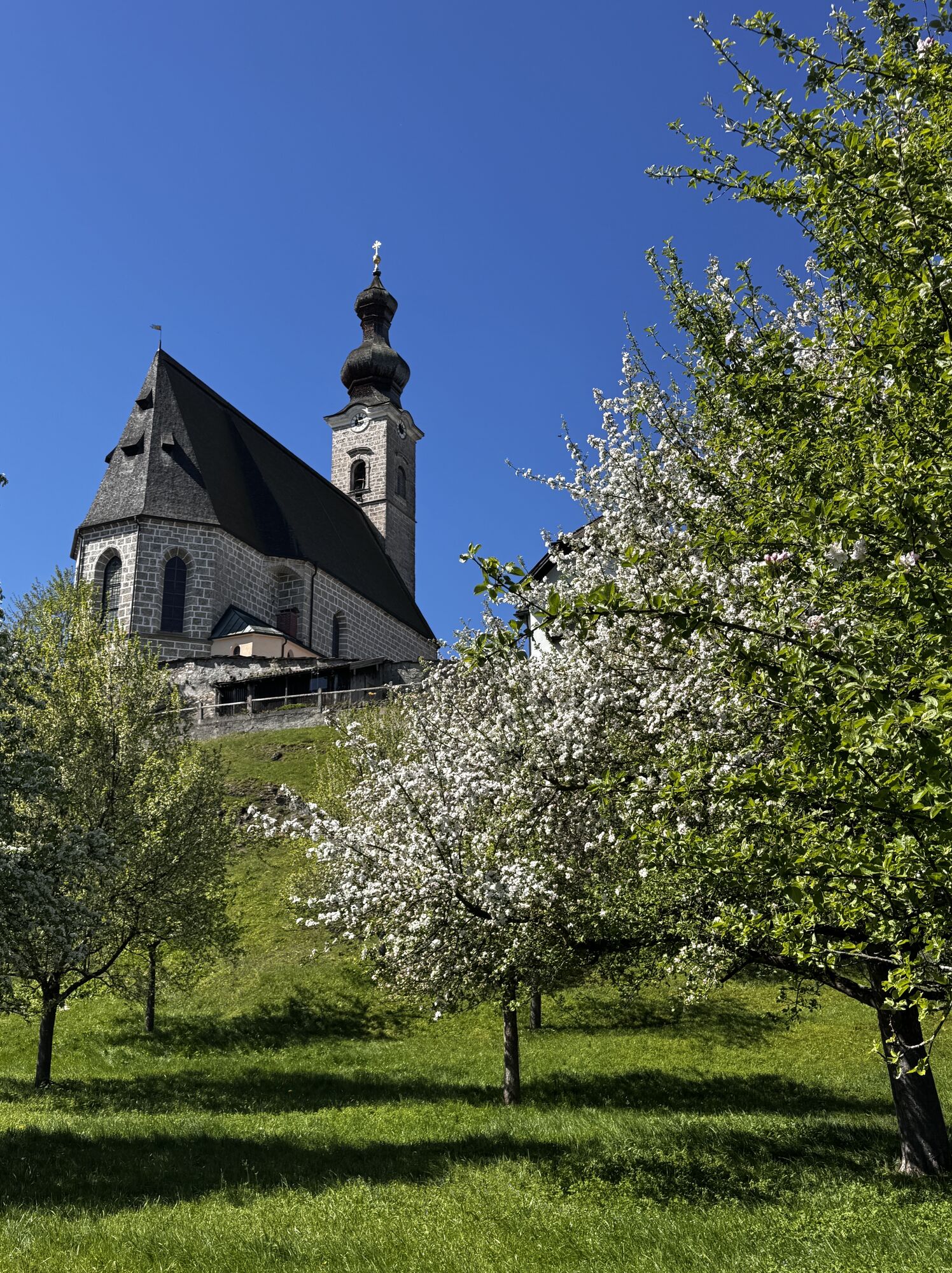
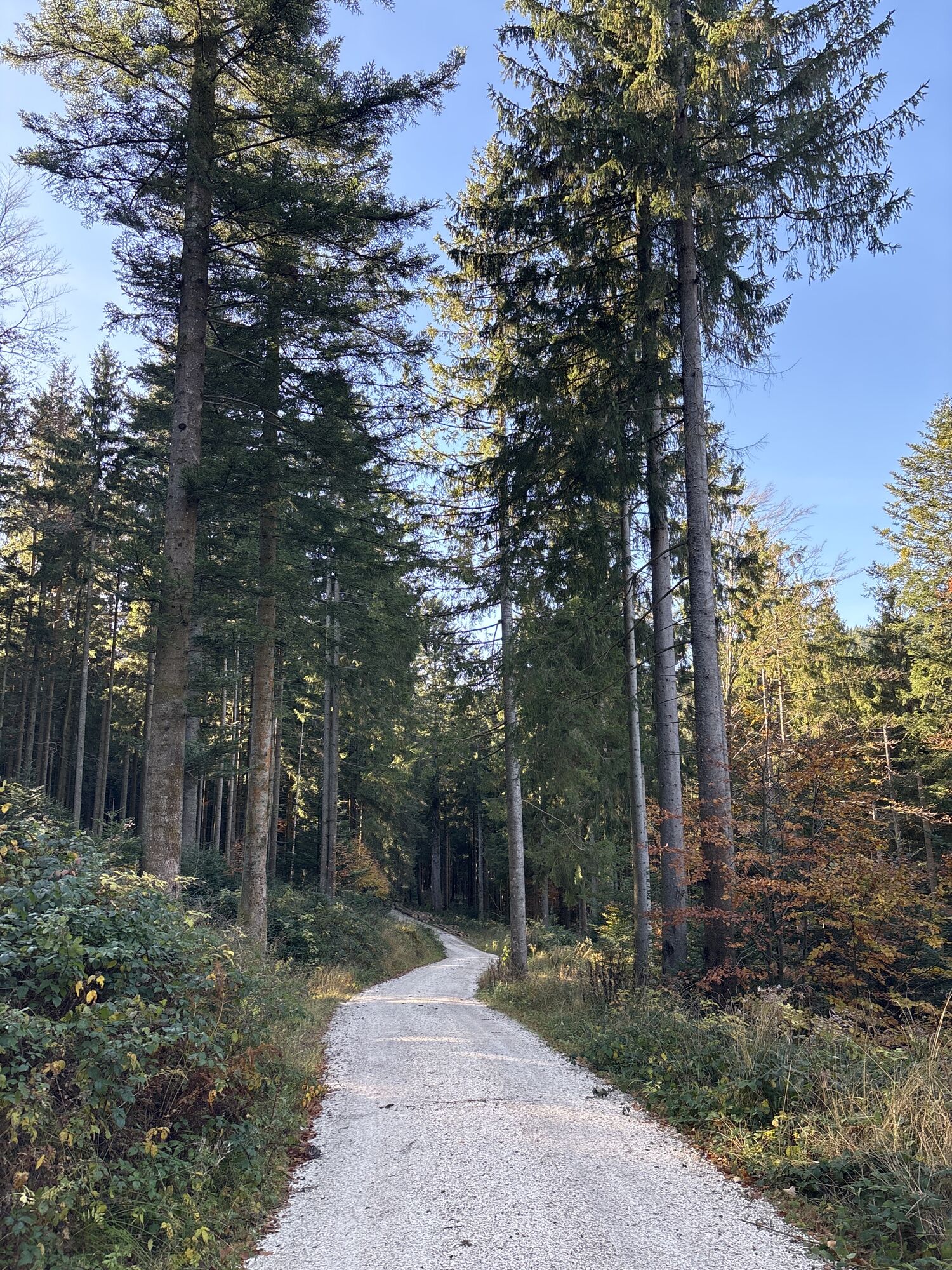
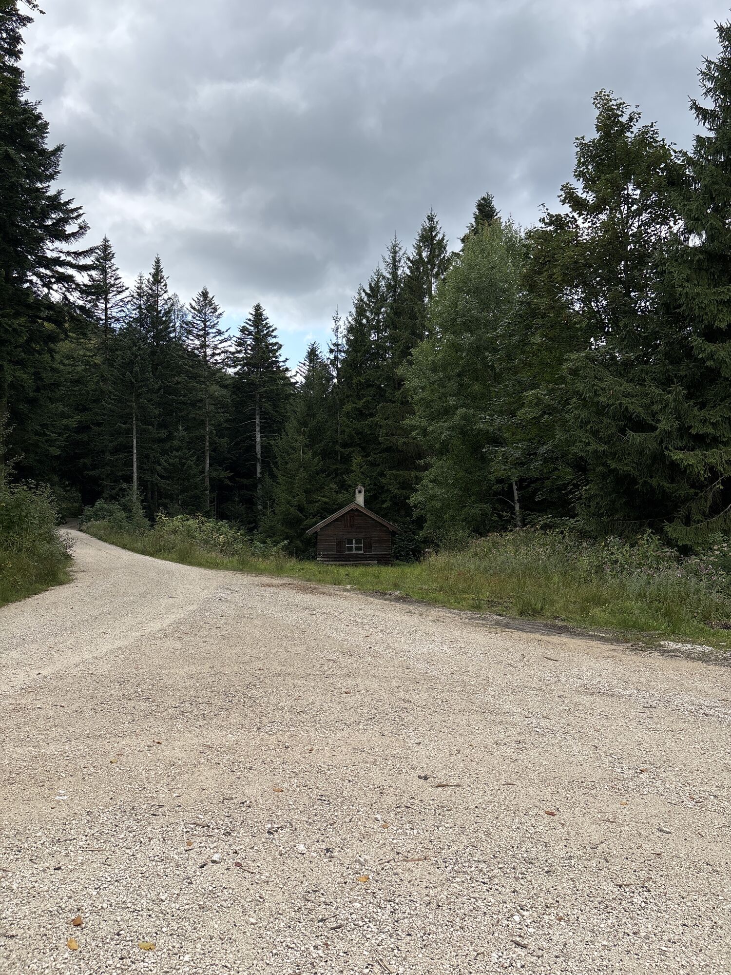
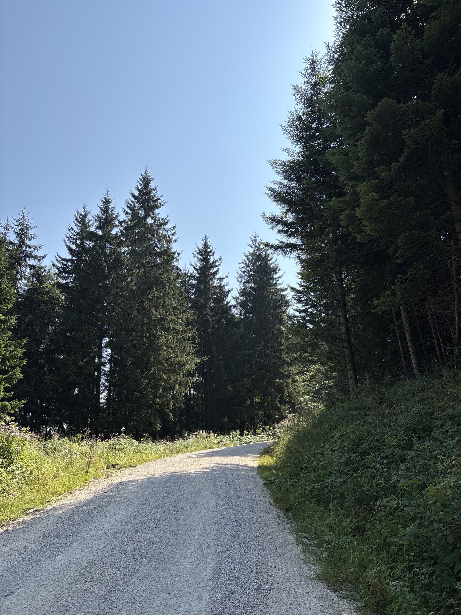
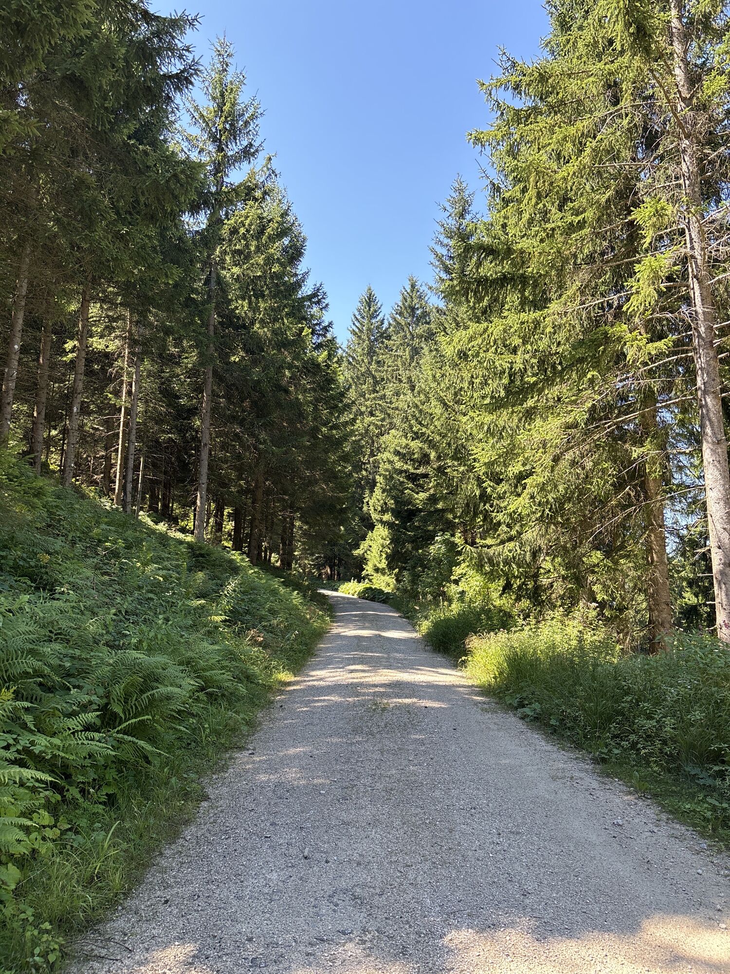
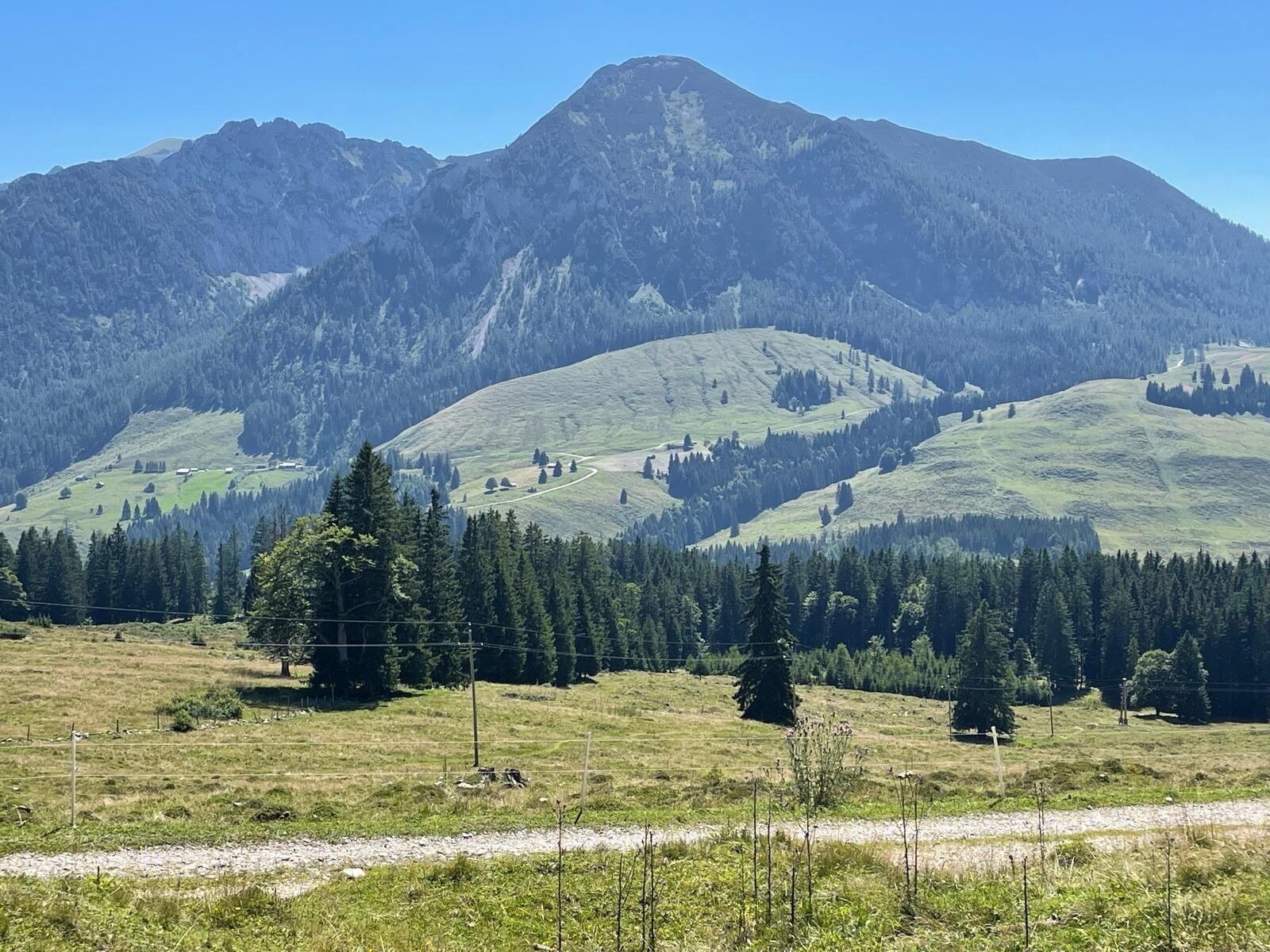
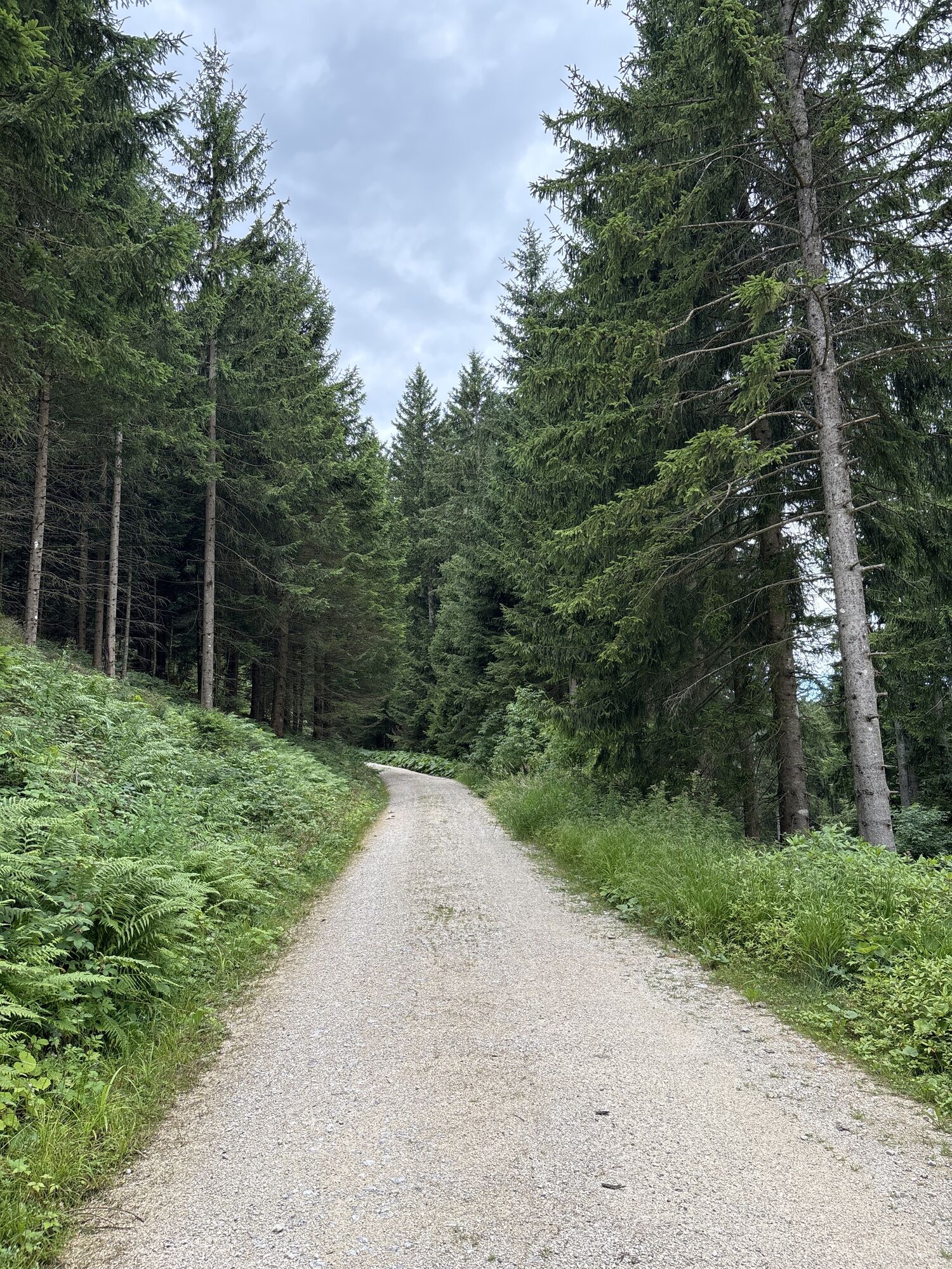
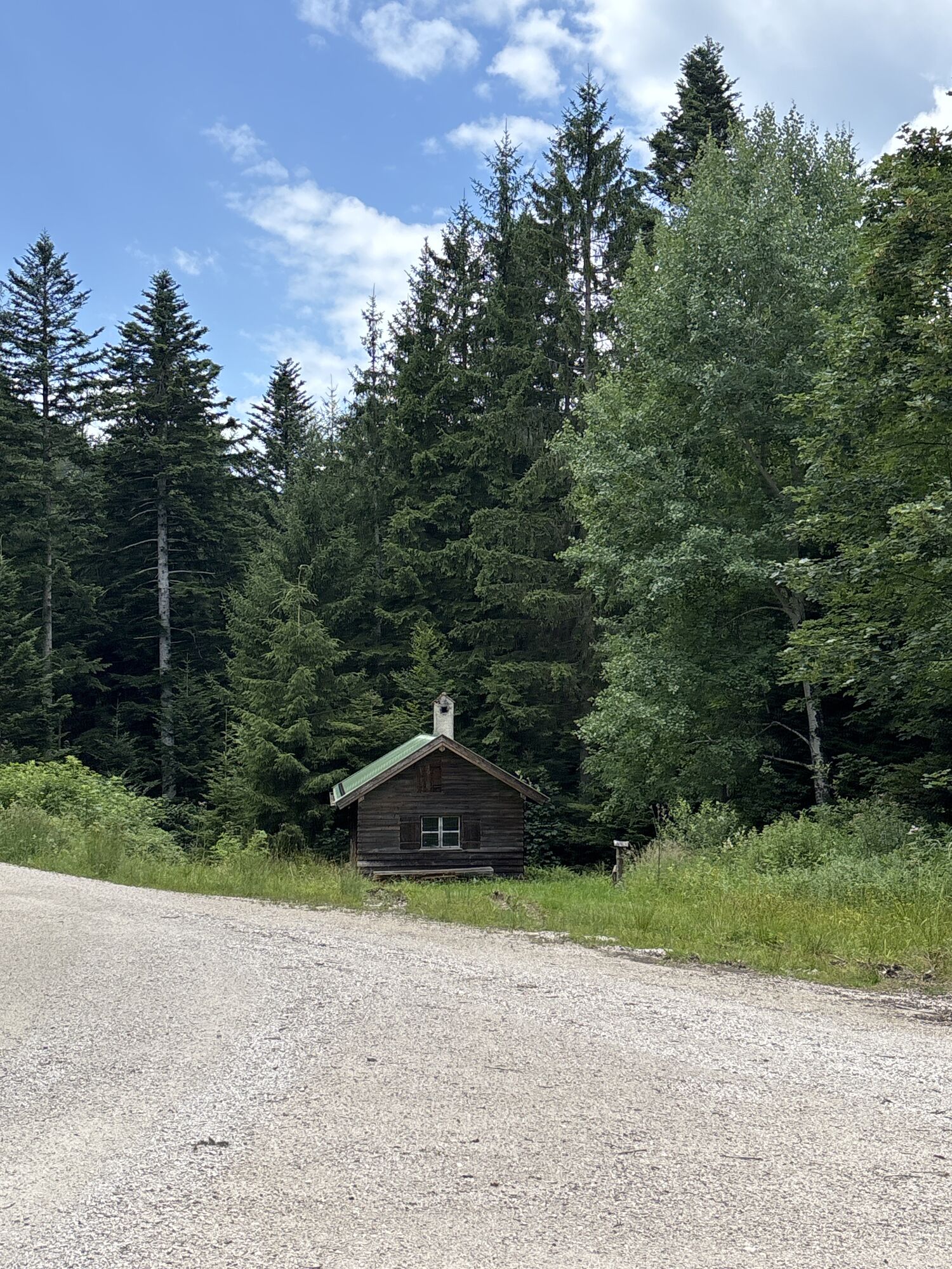
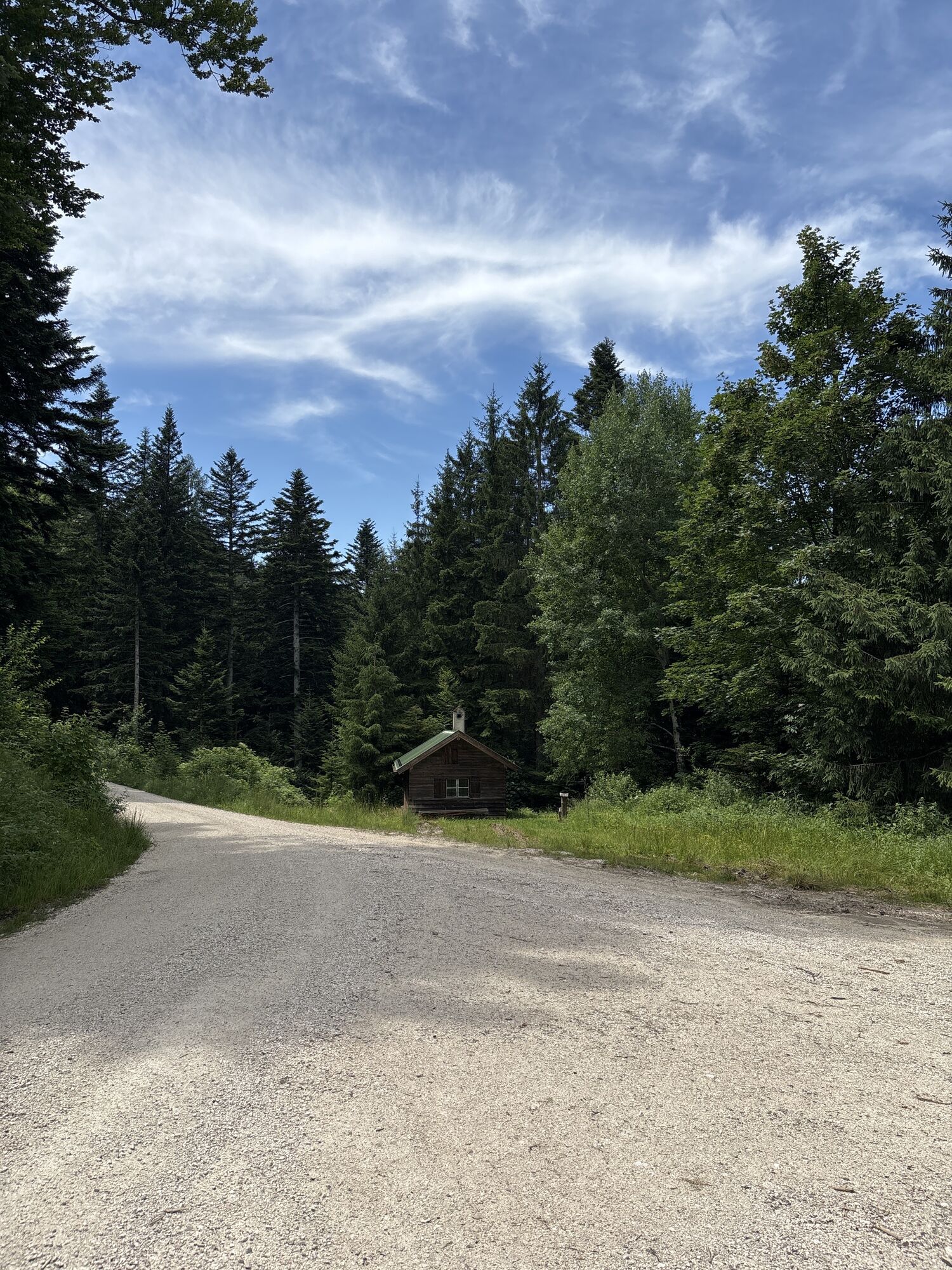
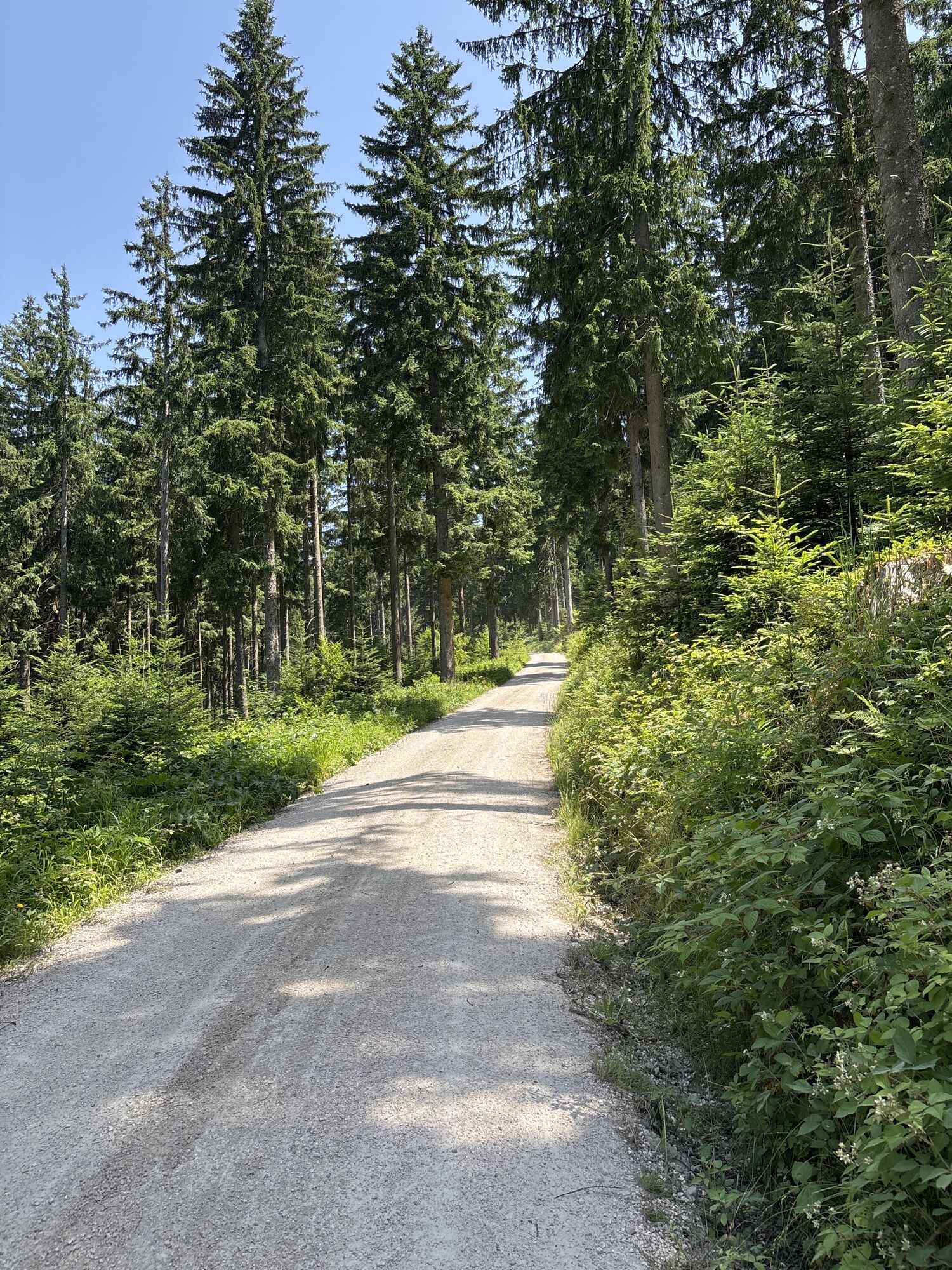
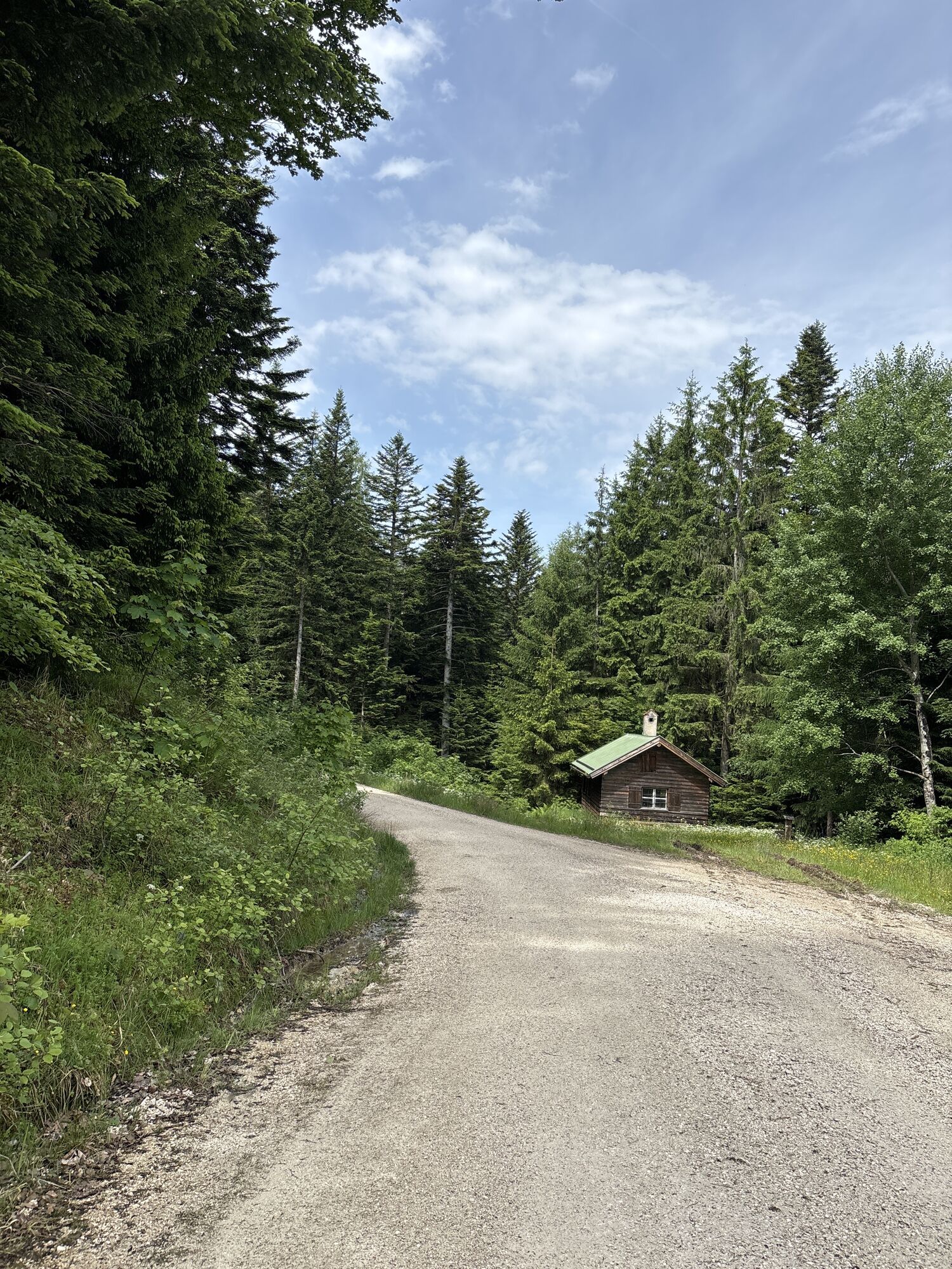
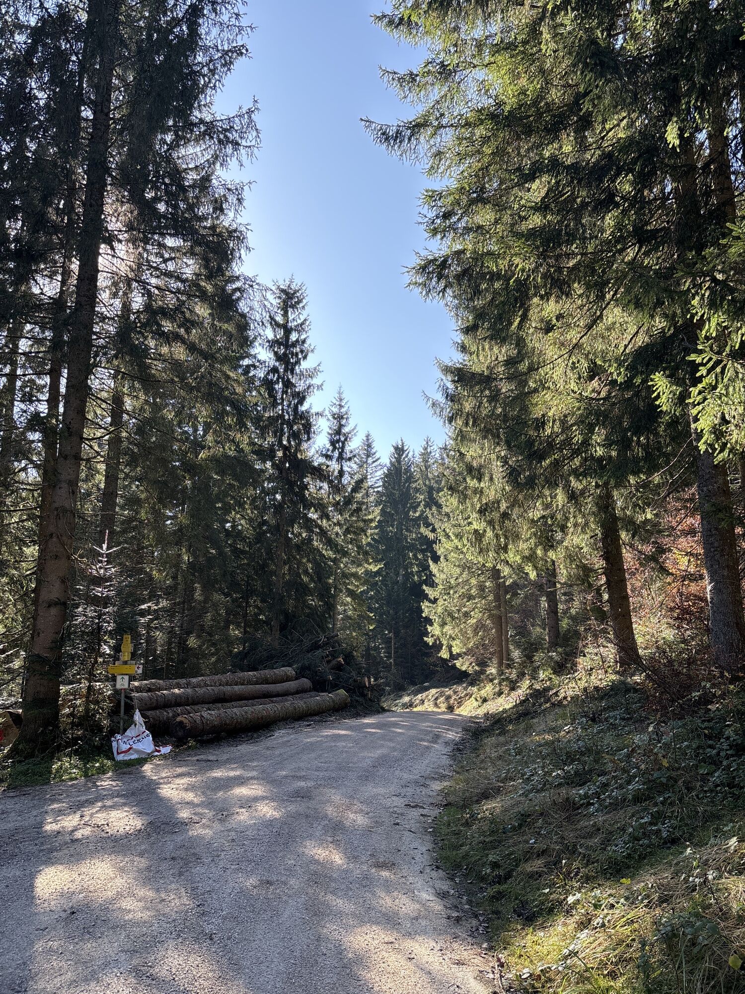
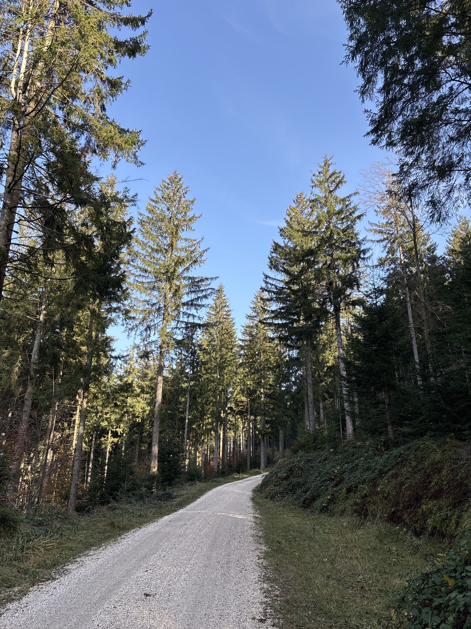
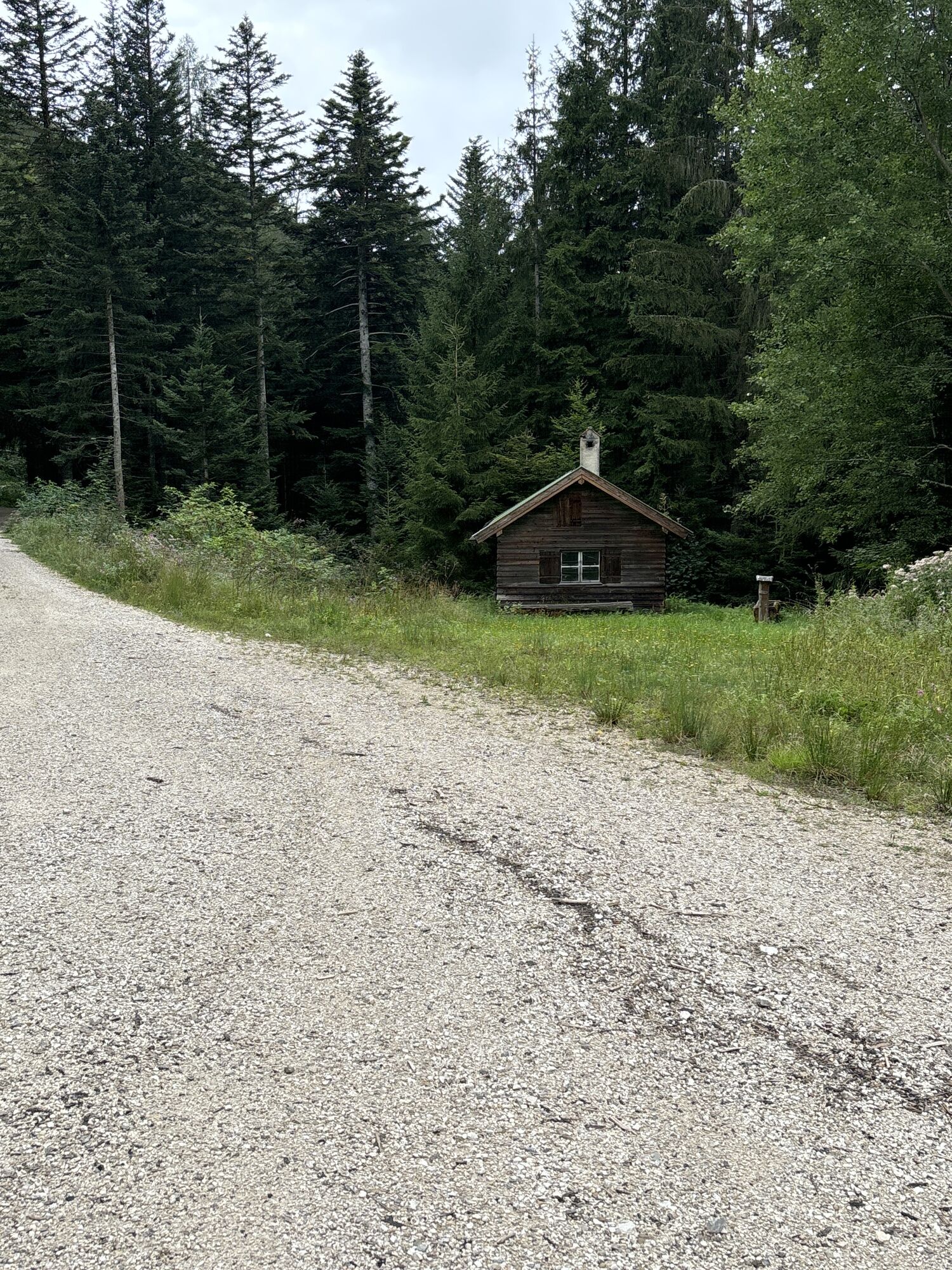

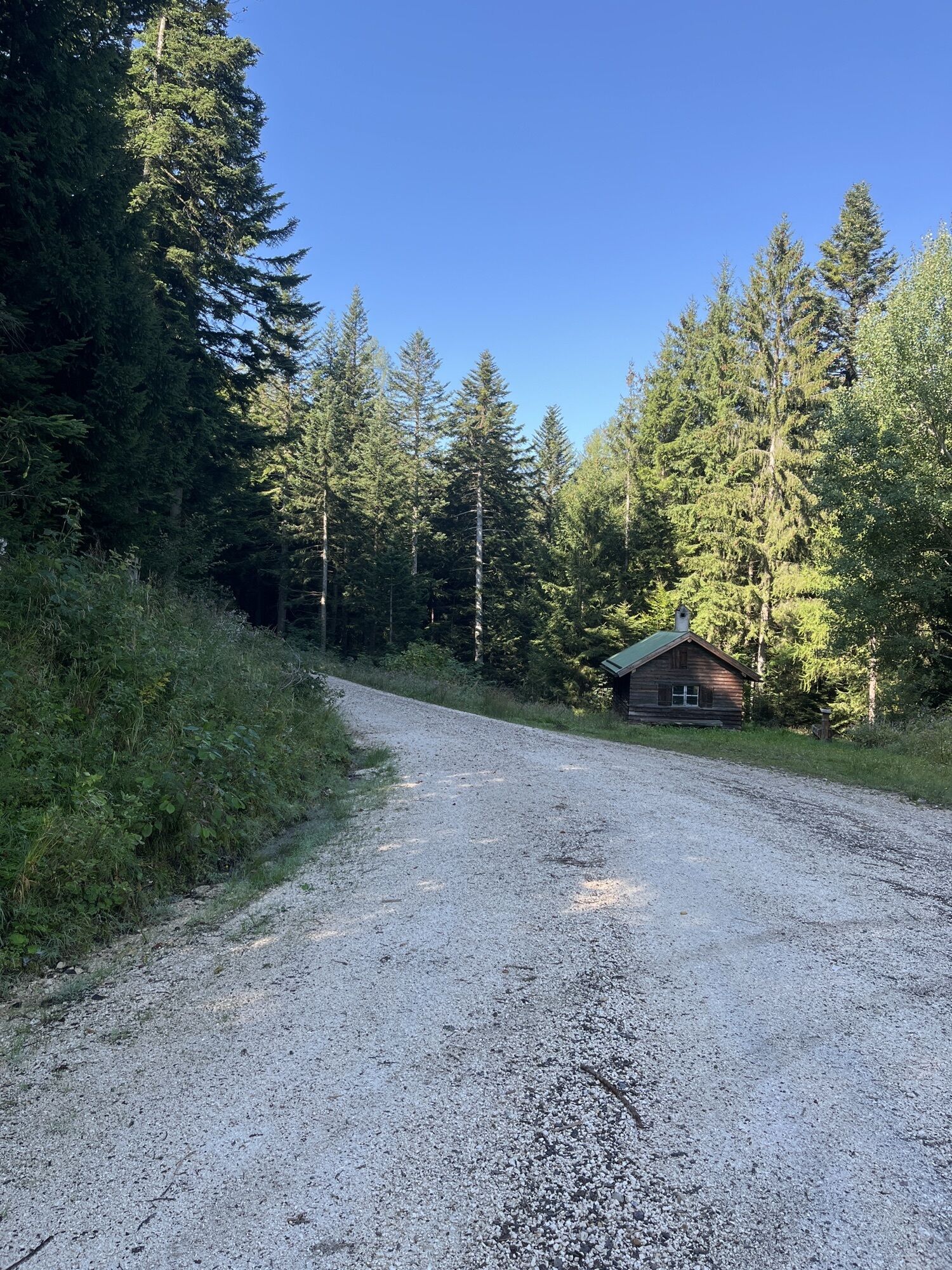
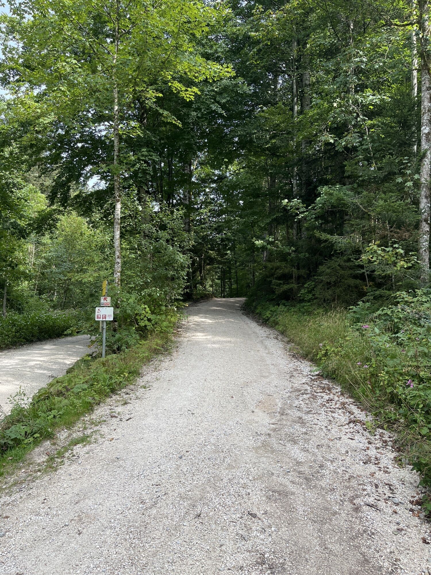

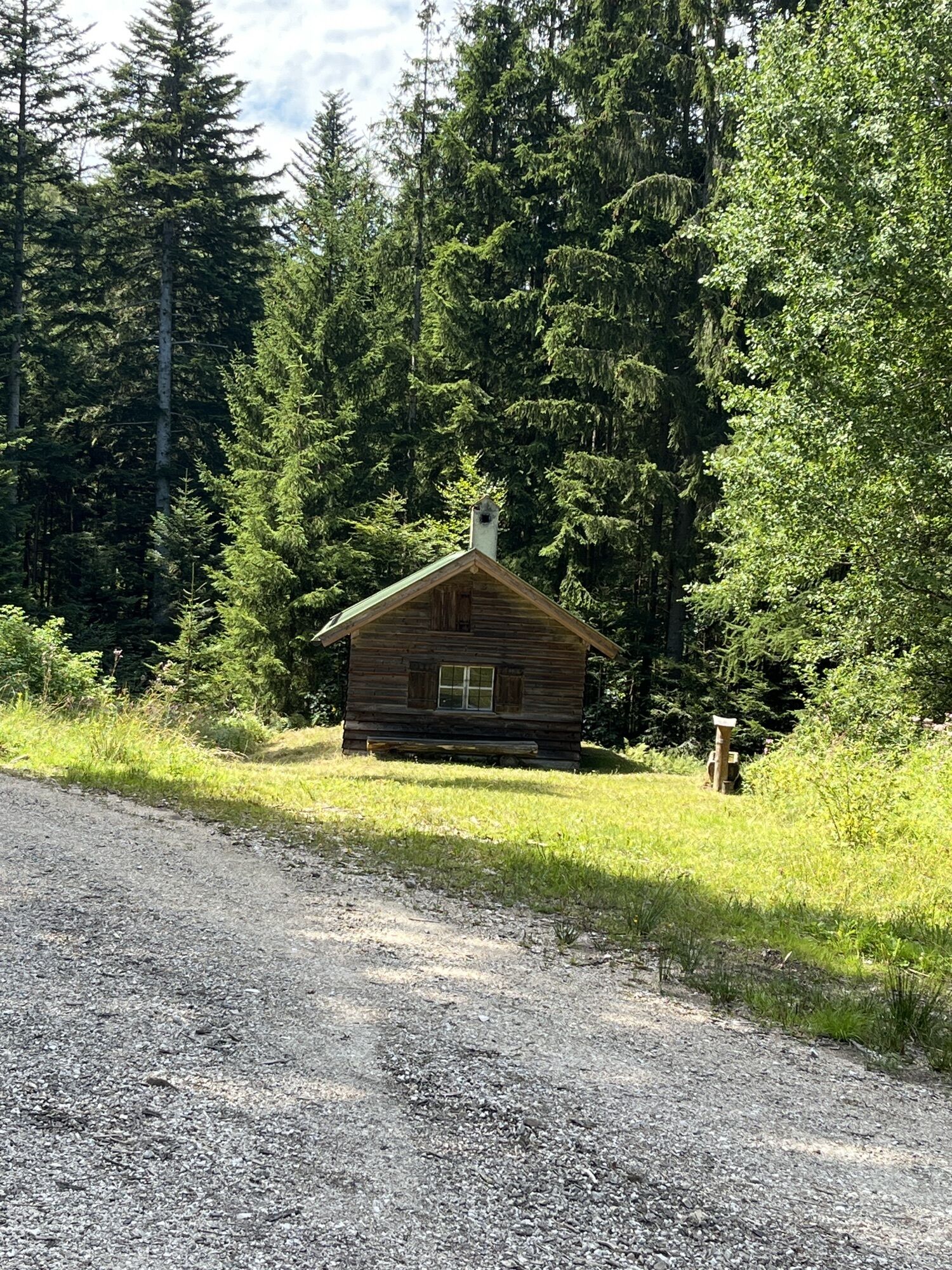
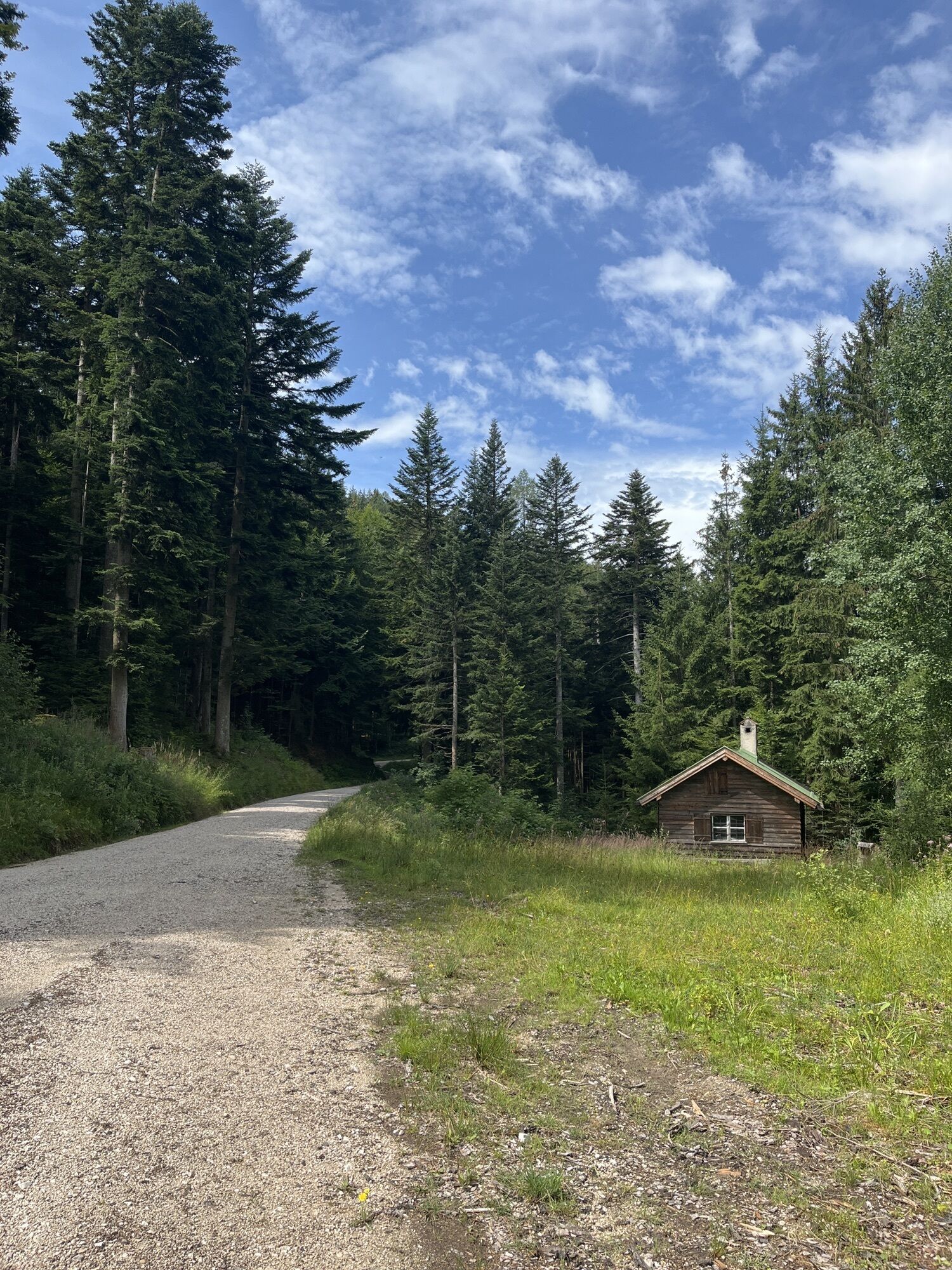
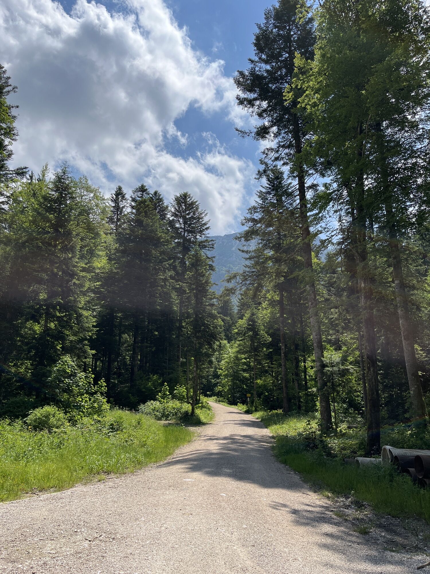
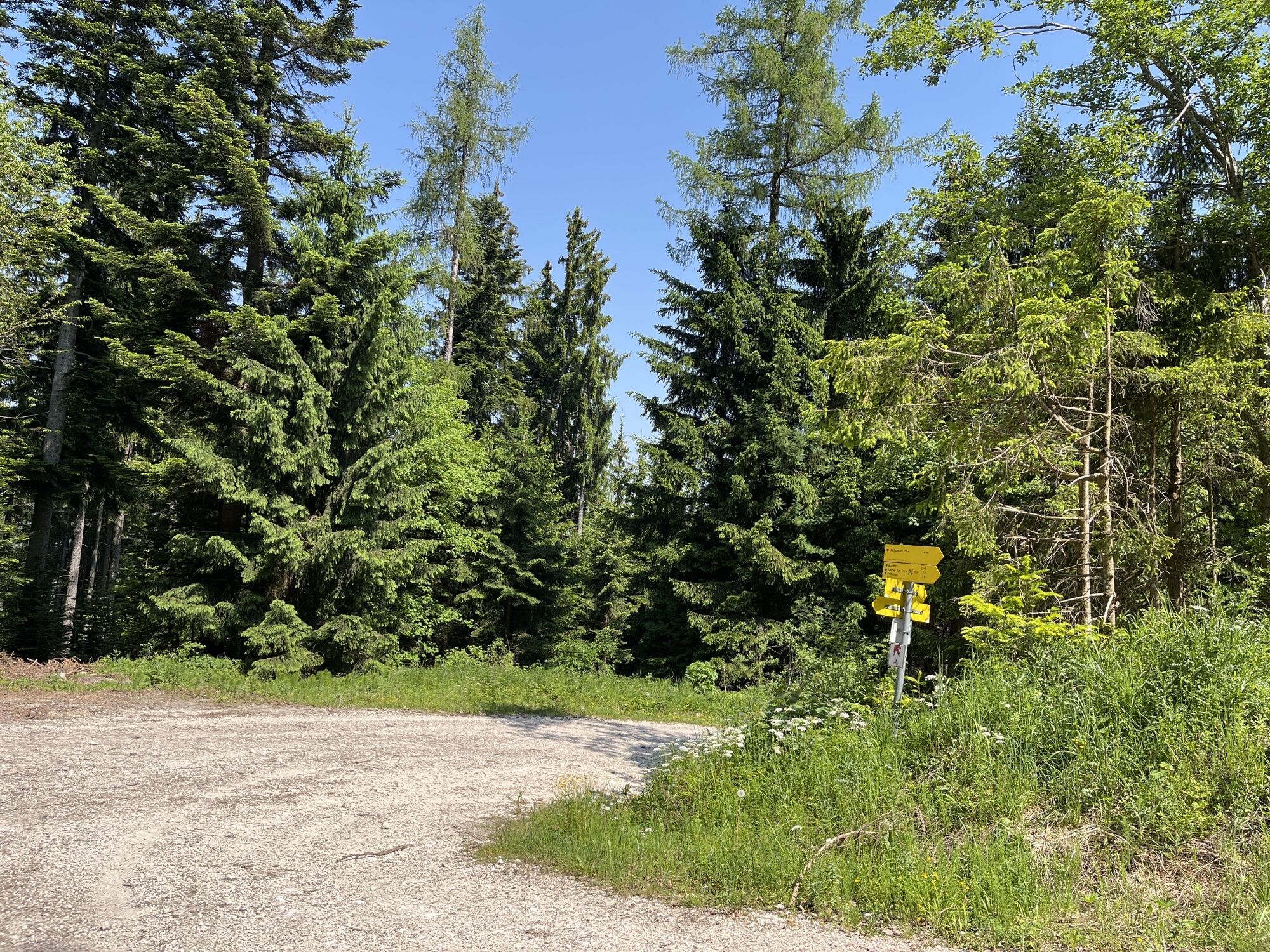
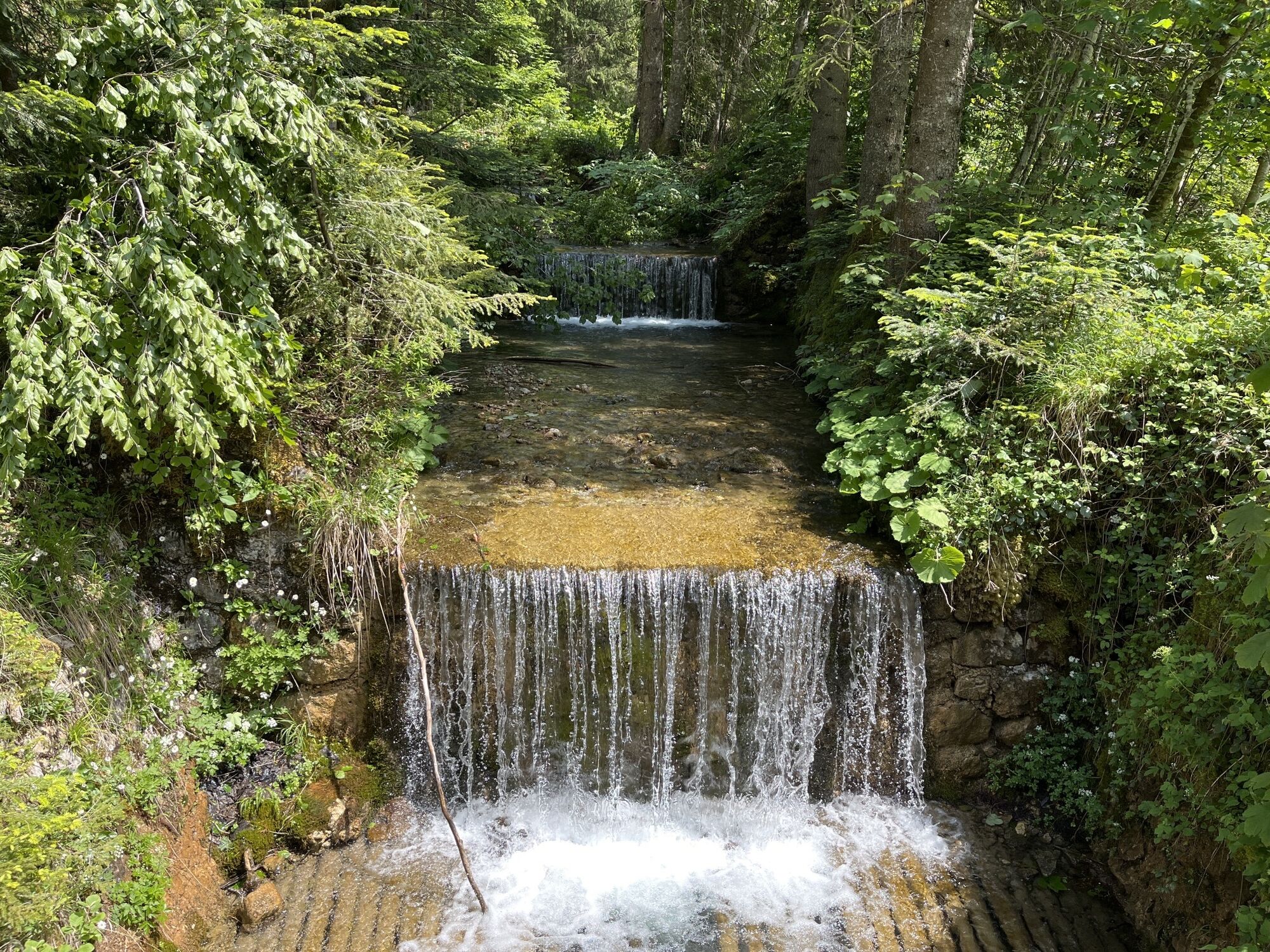
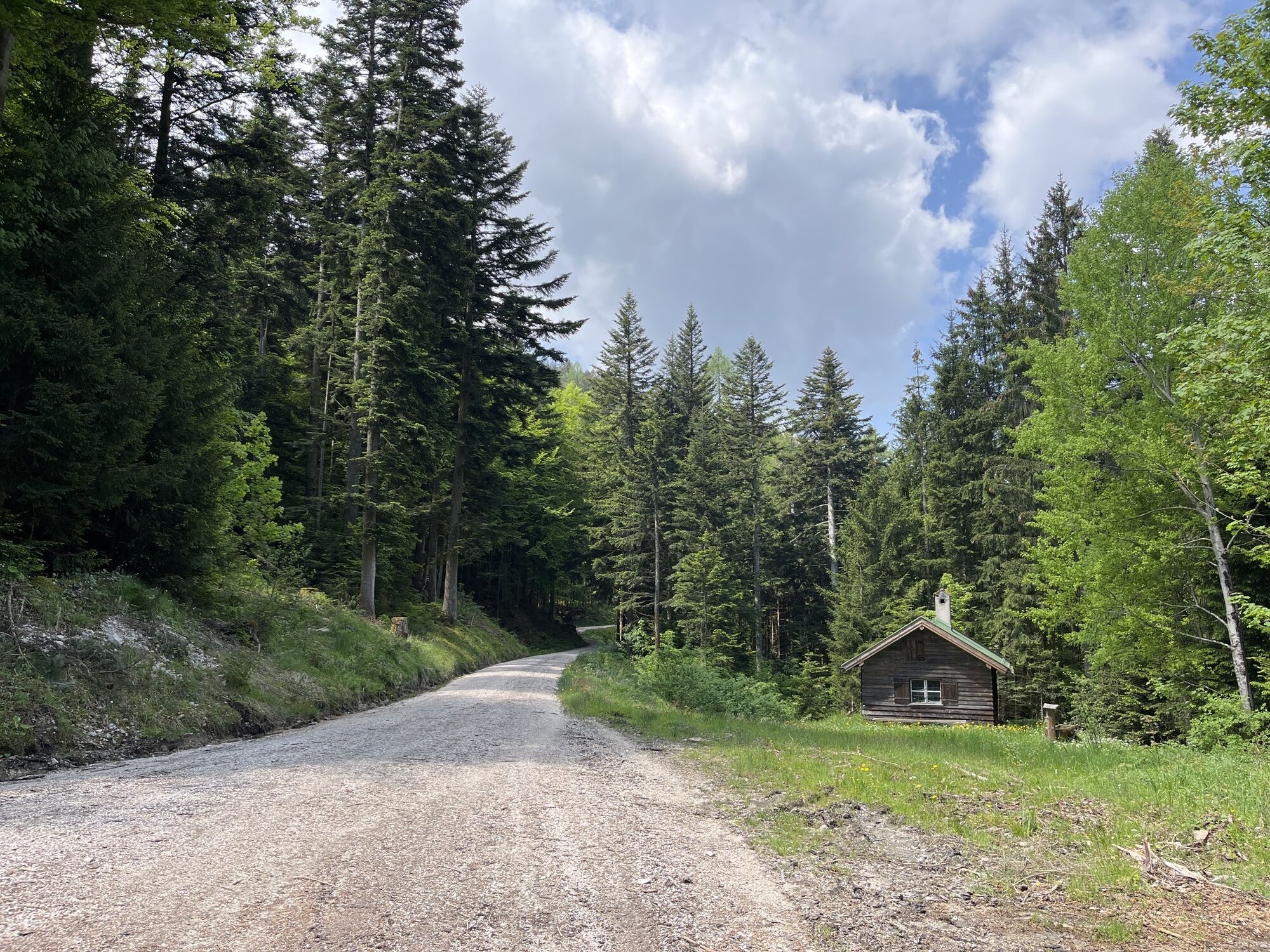
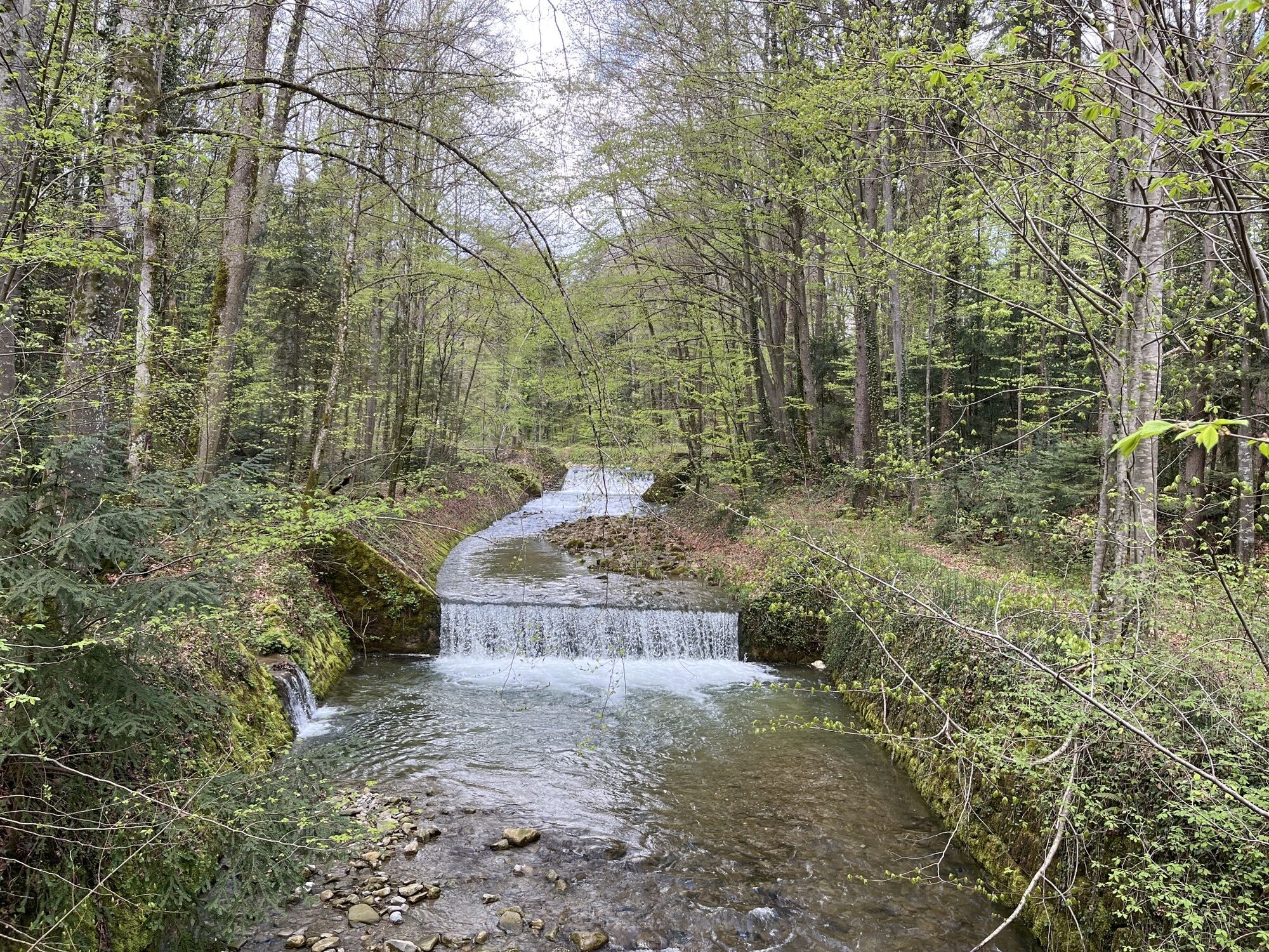
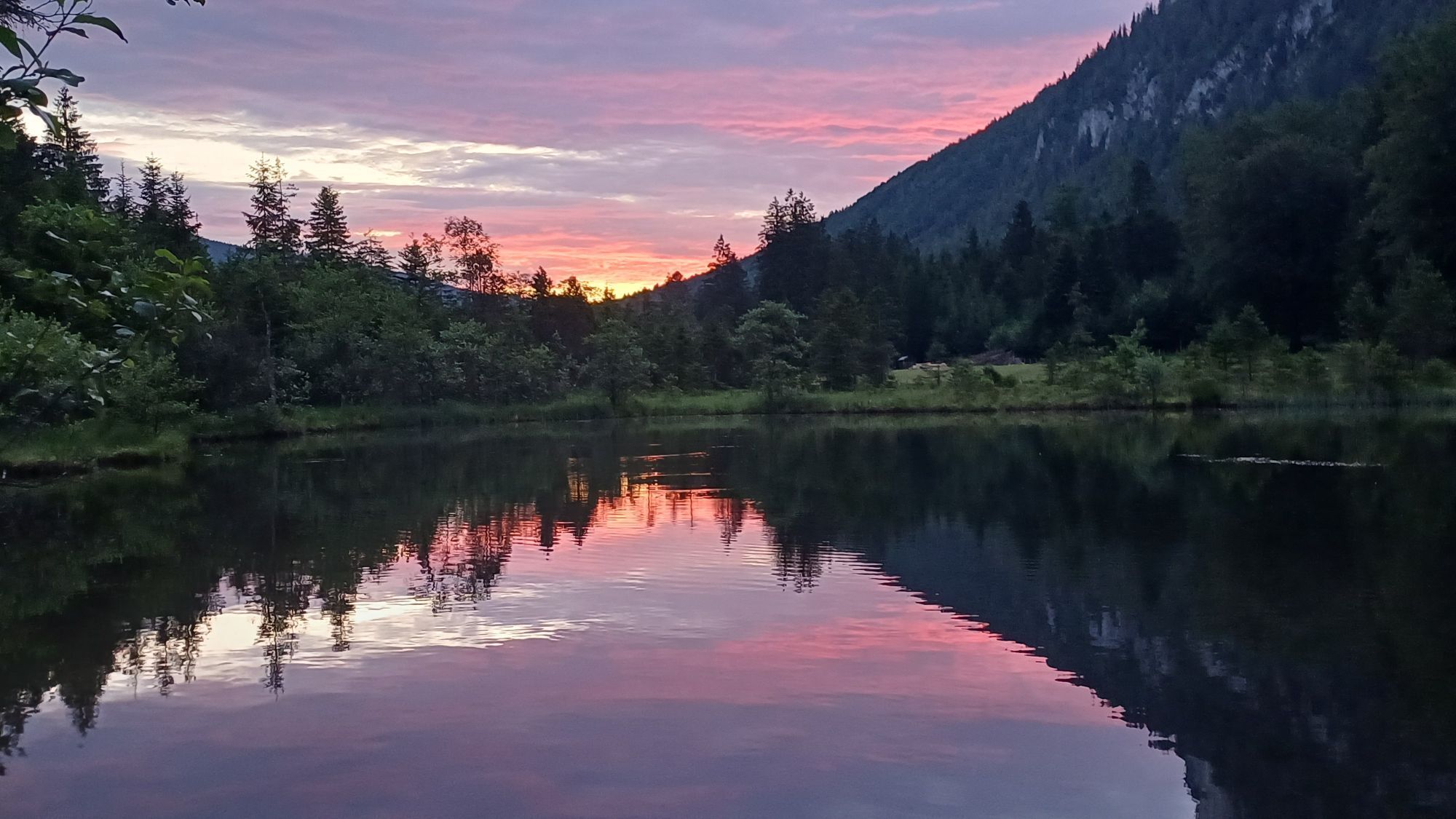
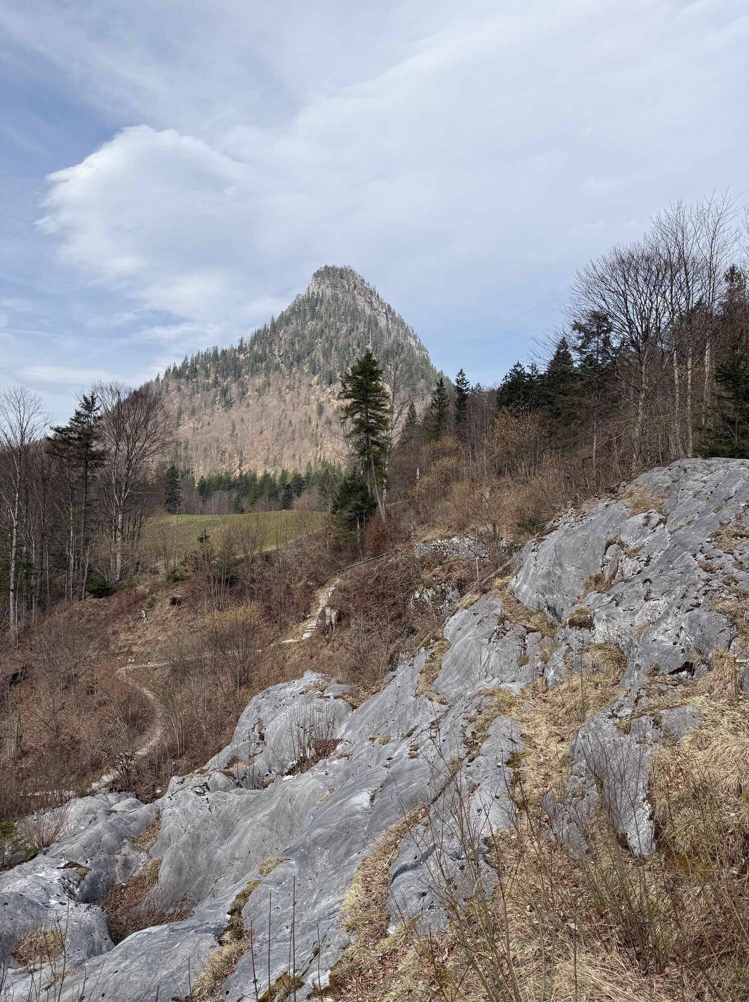
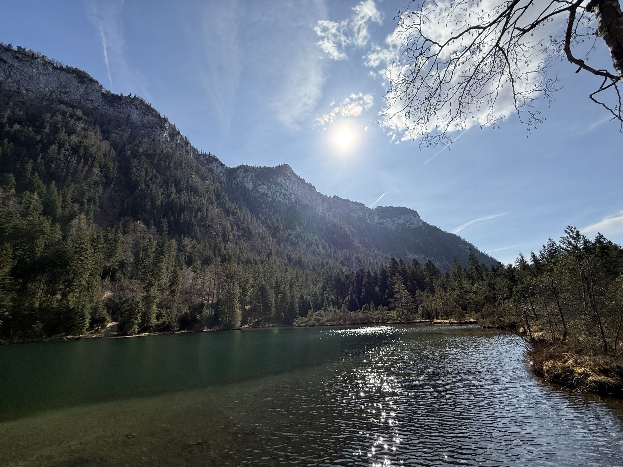
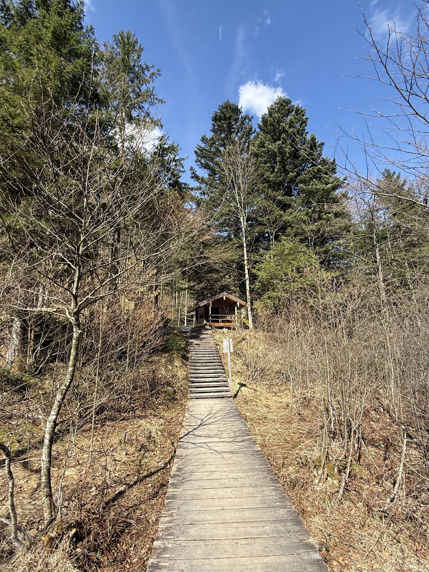
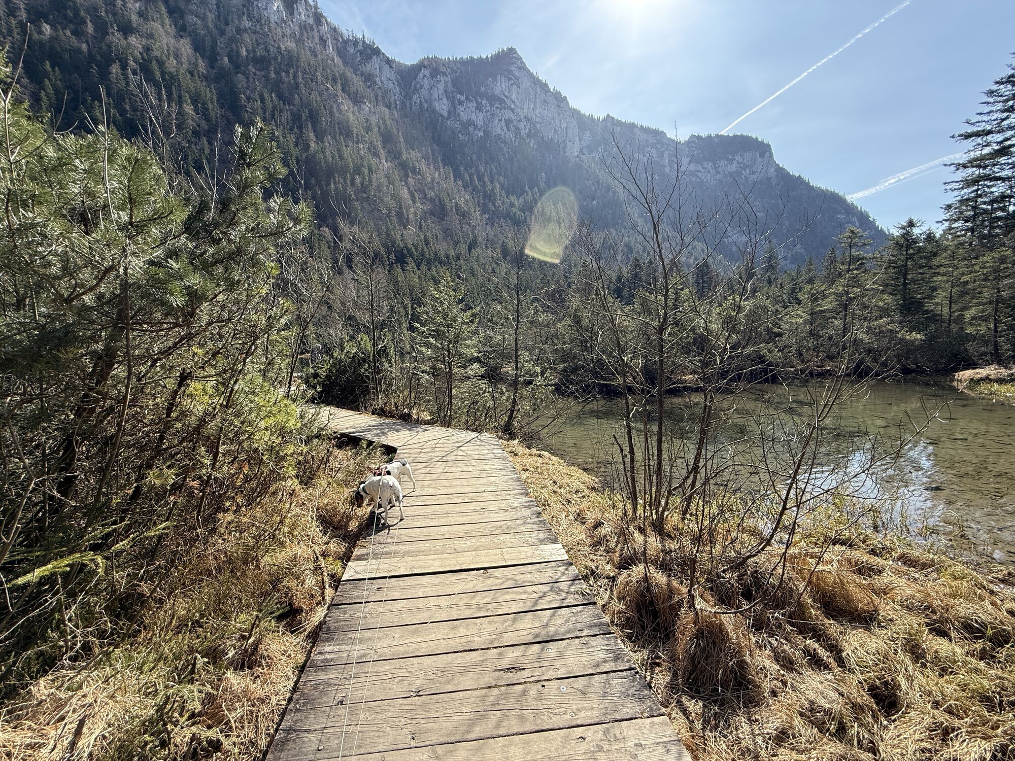
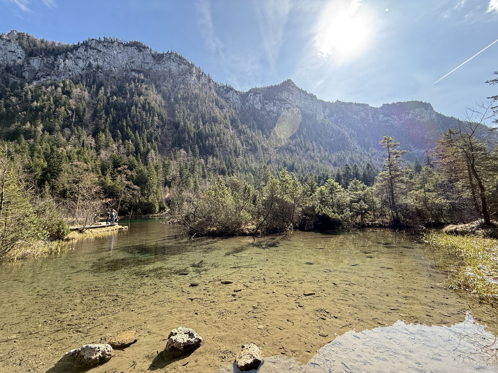
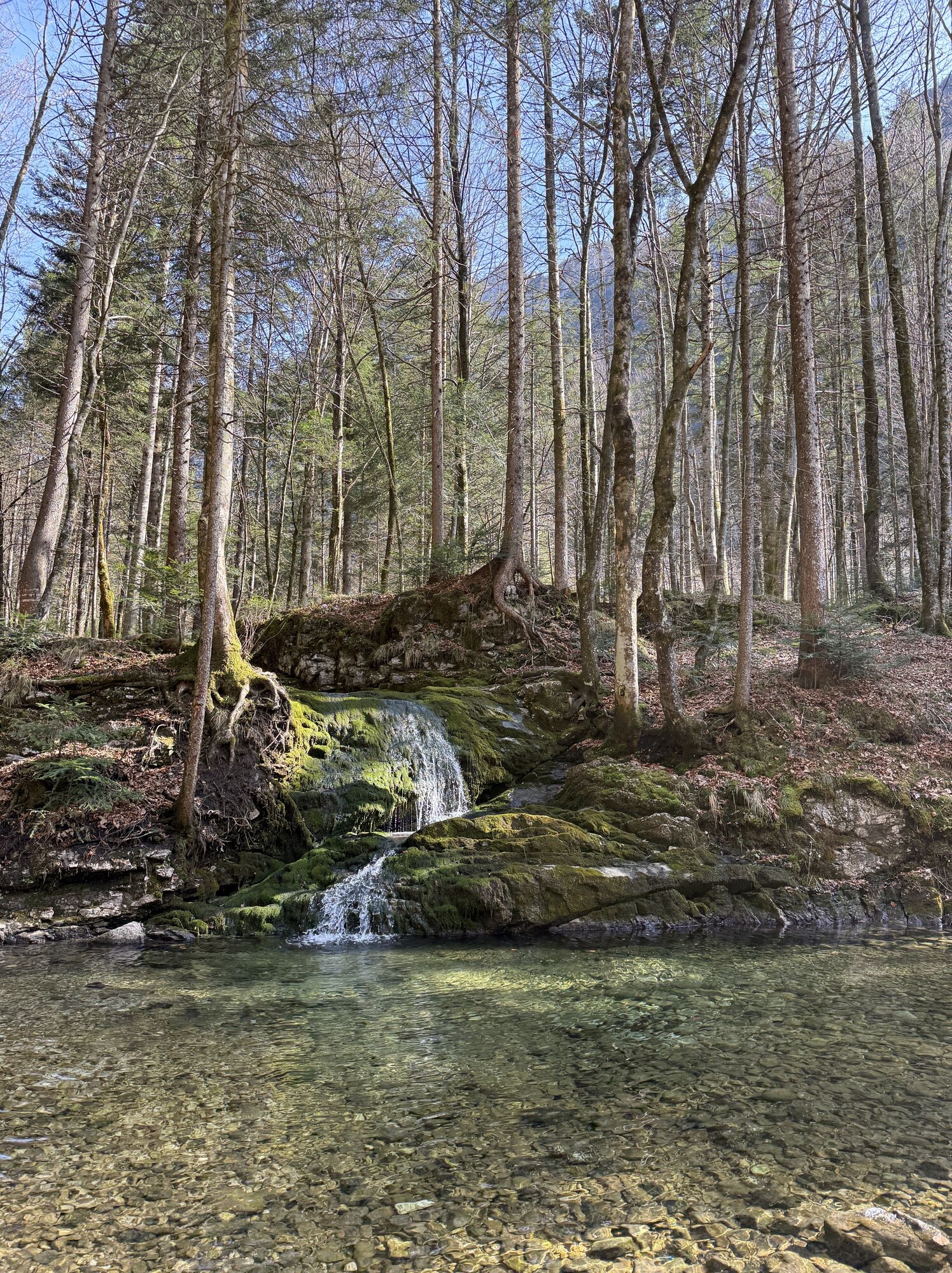
Way: starting point Zwing. From here, the initially flat forest path leads past the Falkensee. We continue in the direction of Adlgaß up to the Inzellerhöhe. The forest path now runs down over the Fürmannalm...
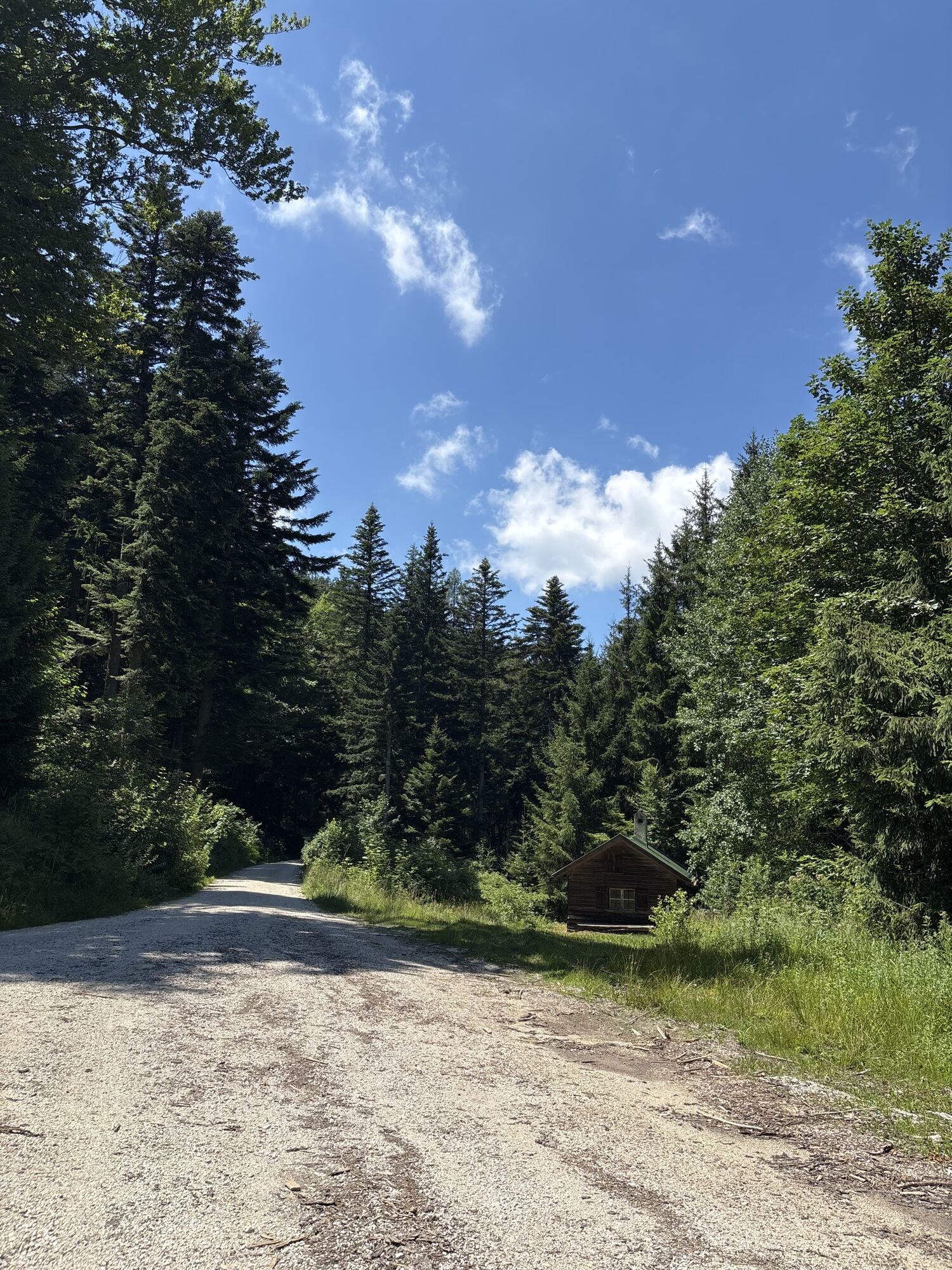
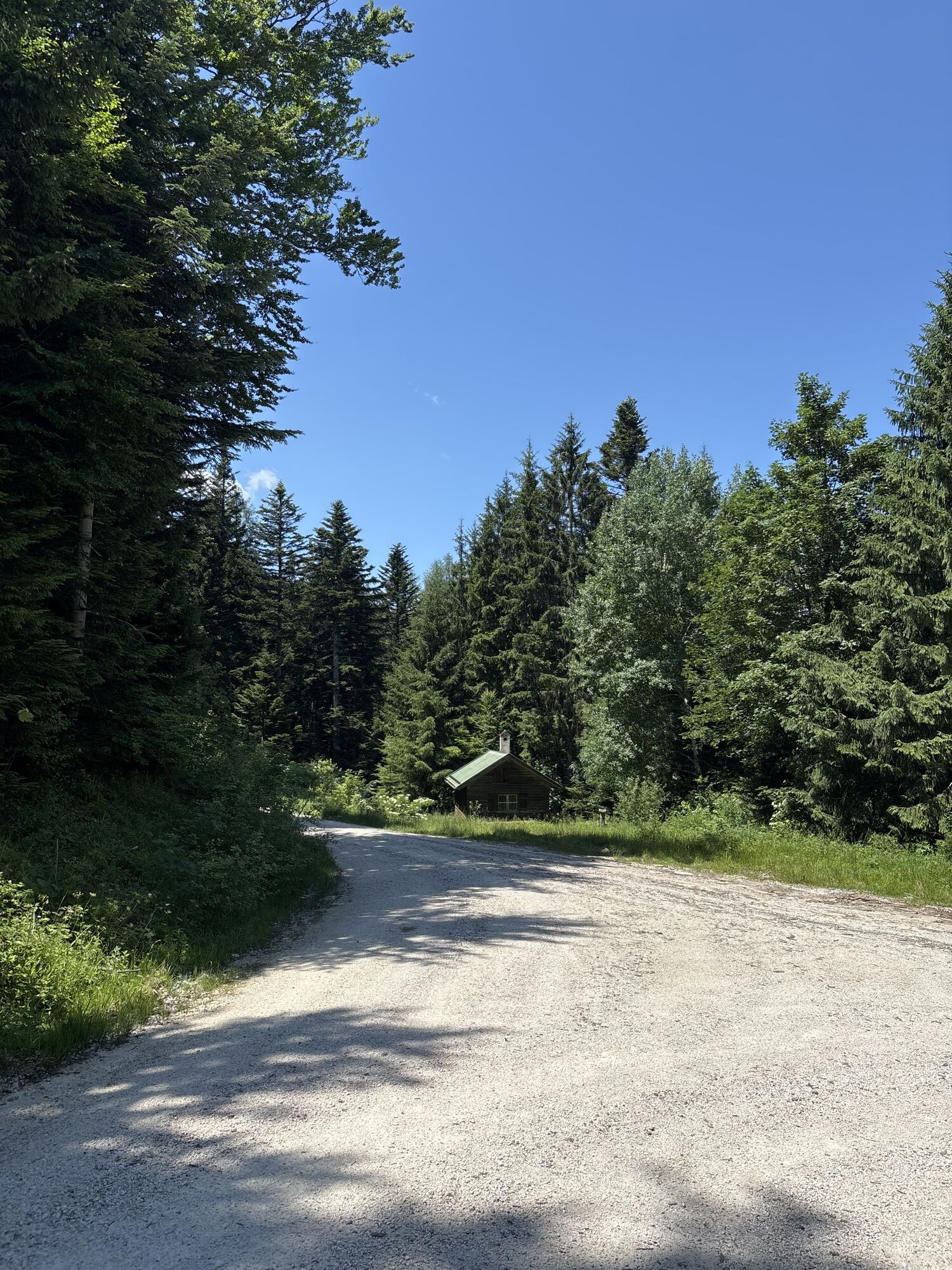
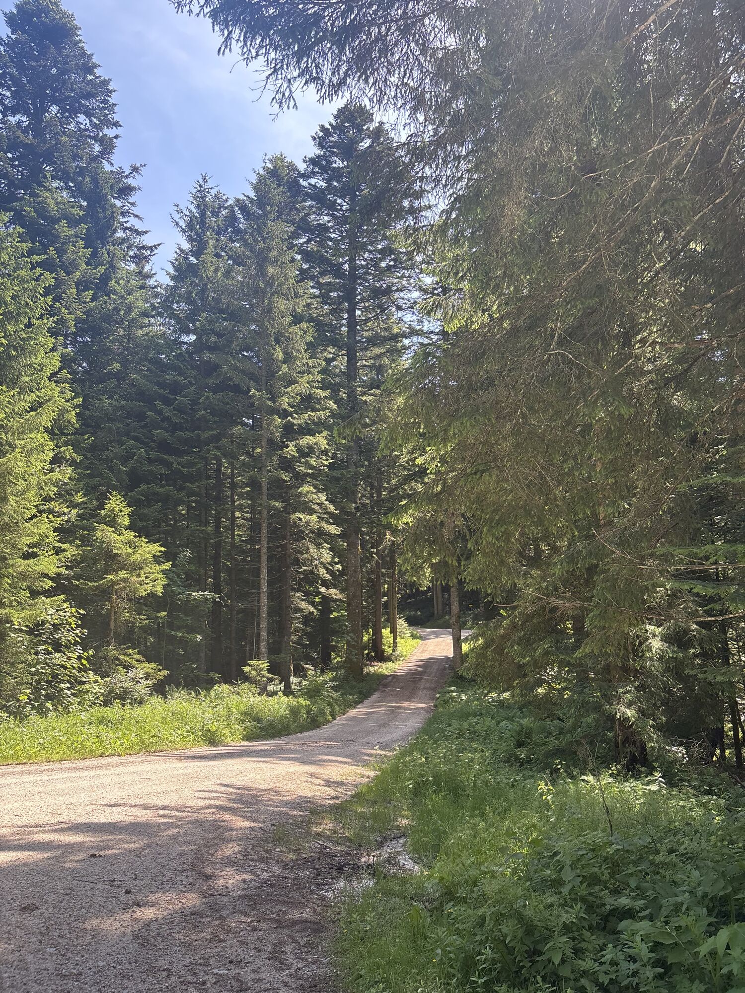
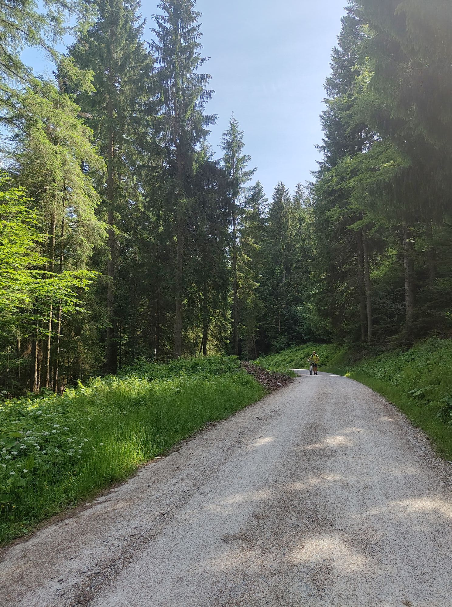
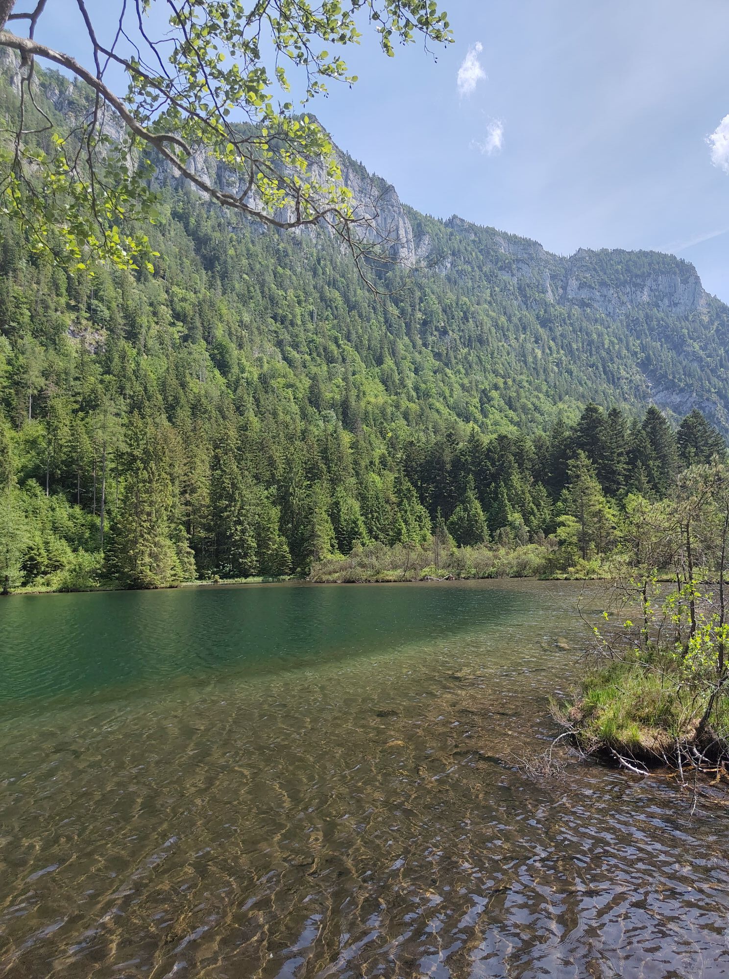
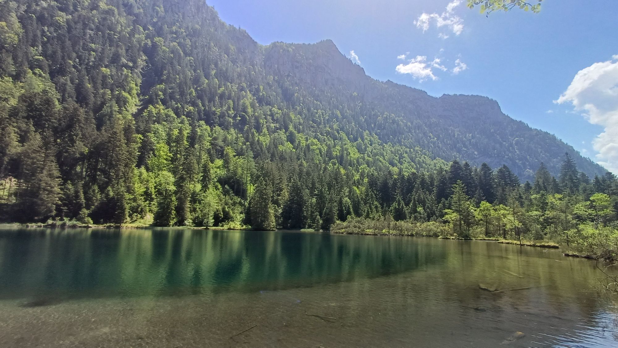
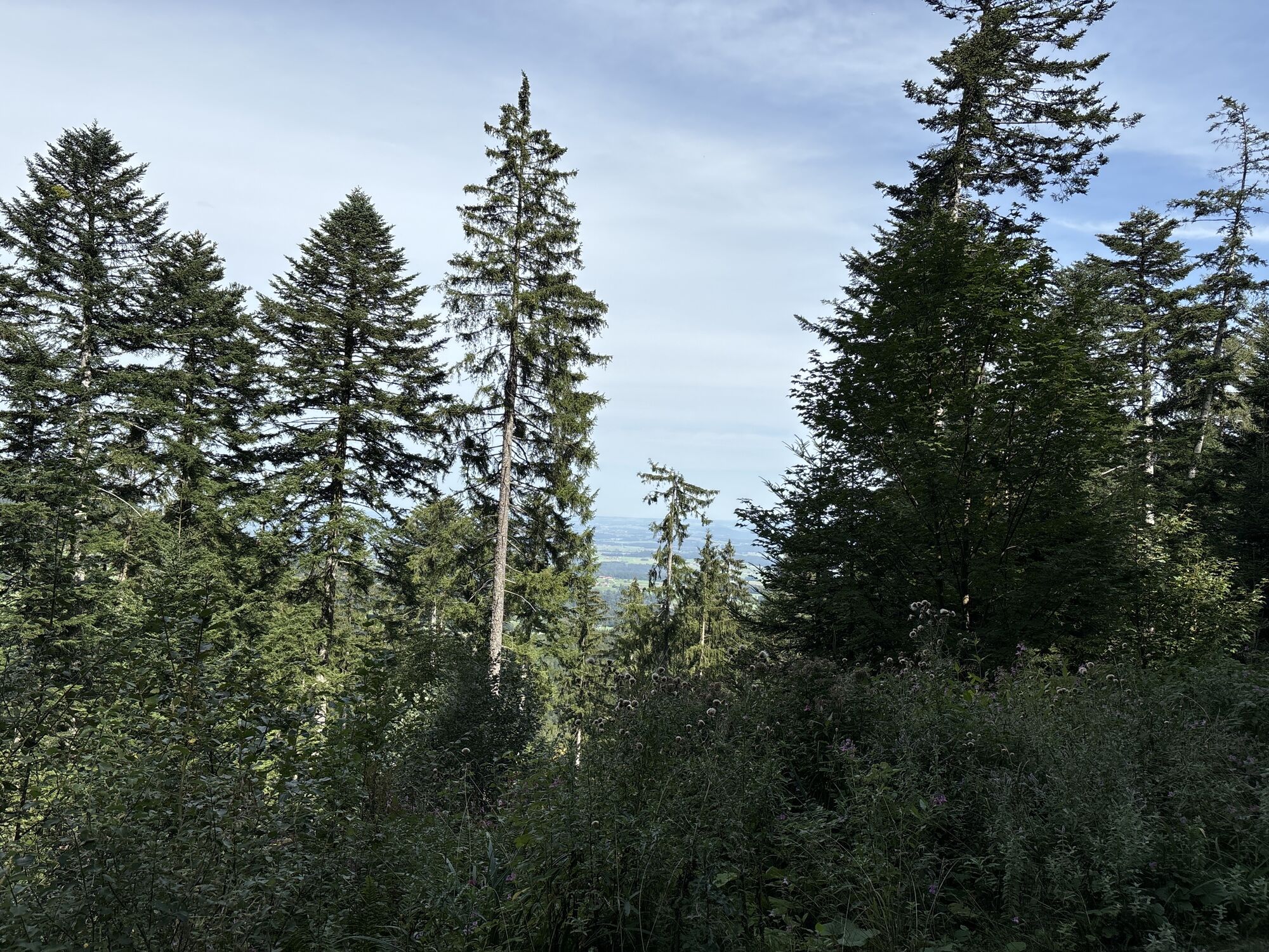
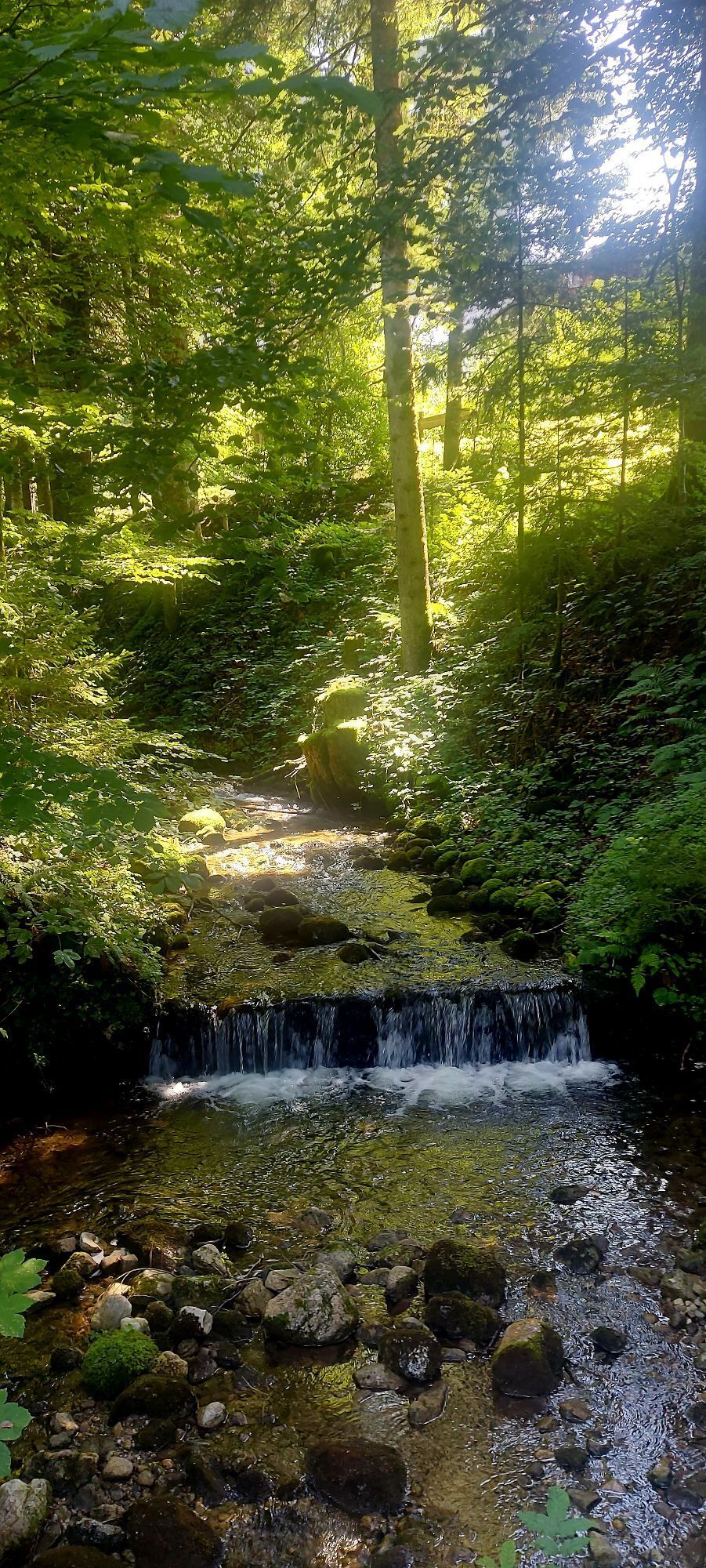
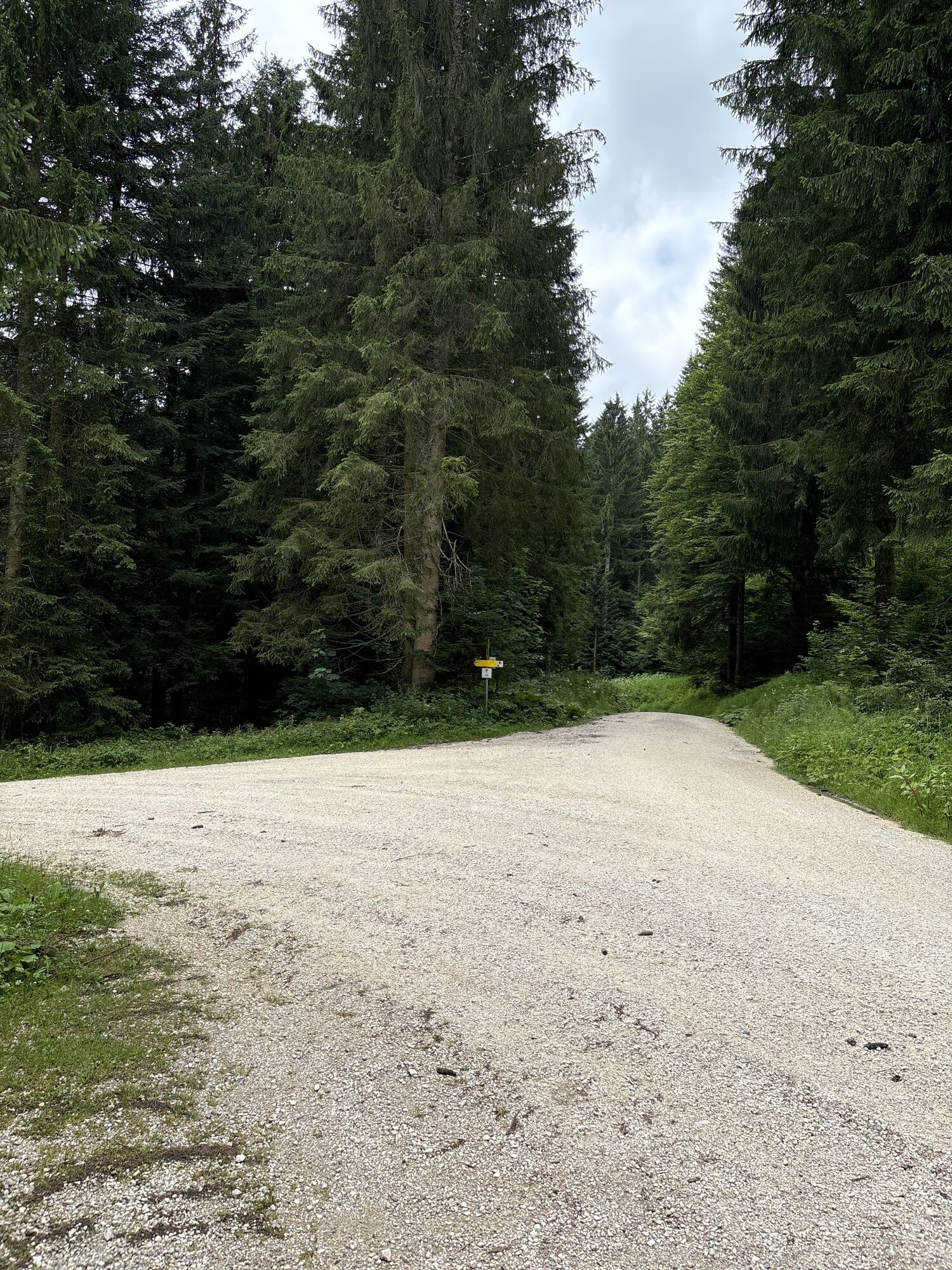
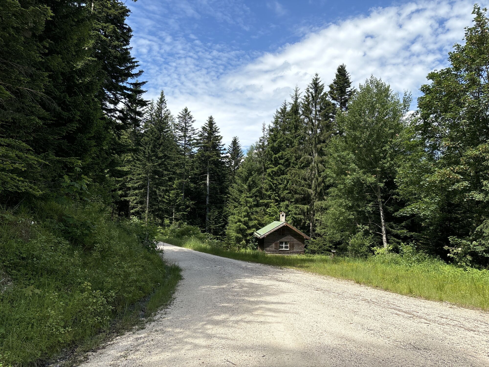
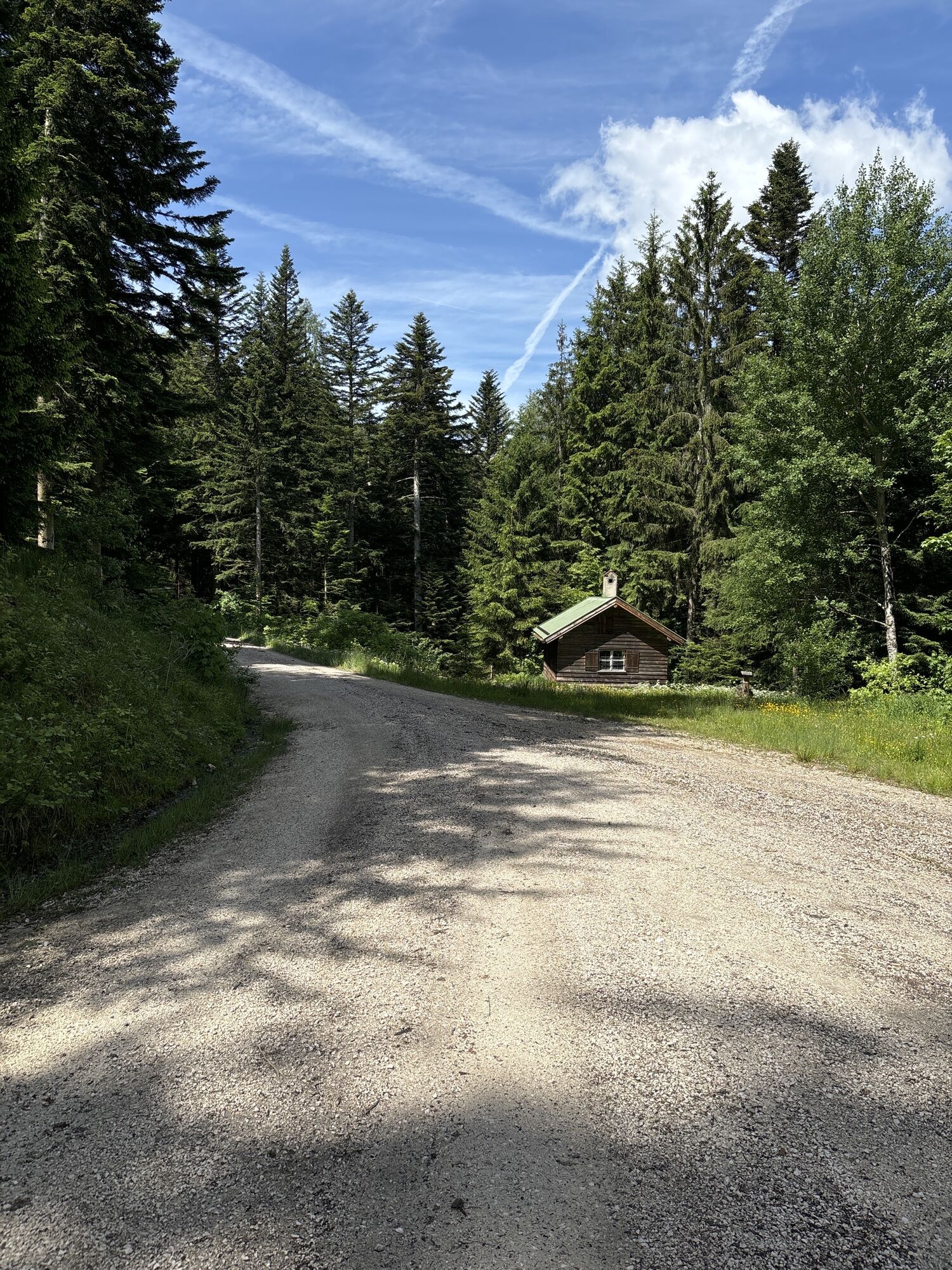
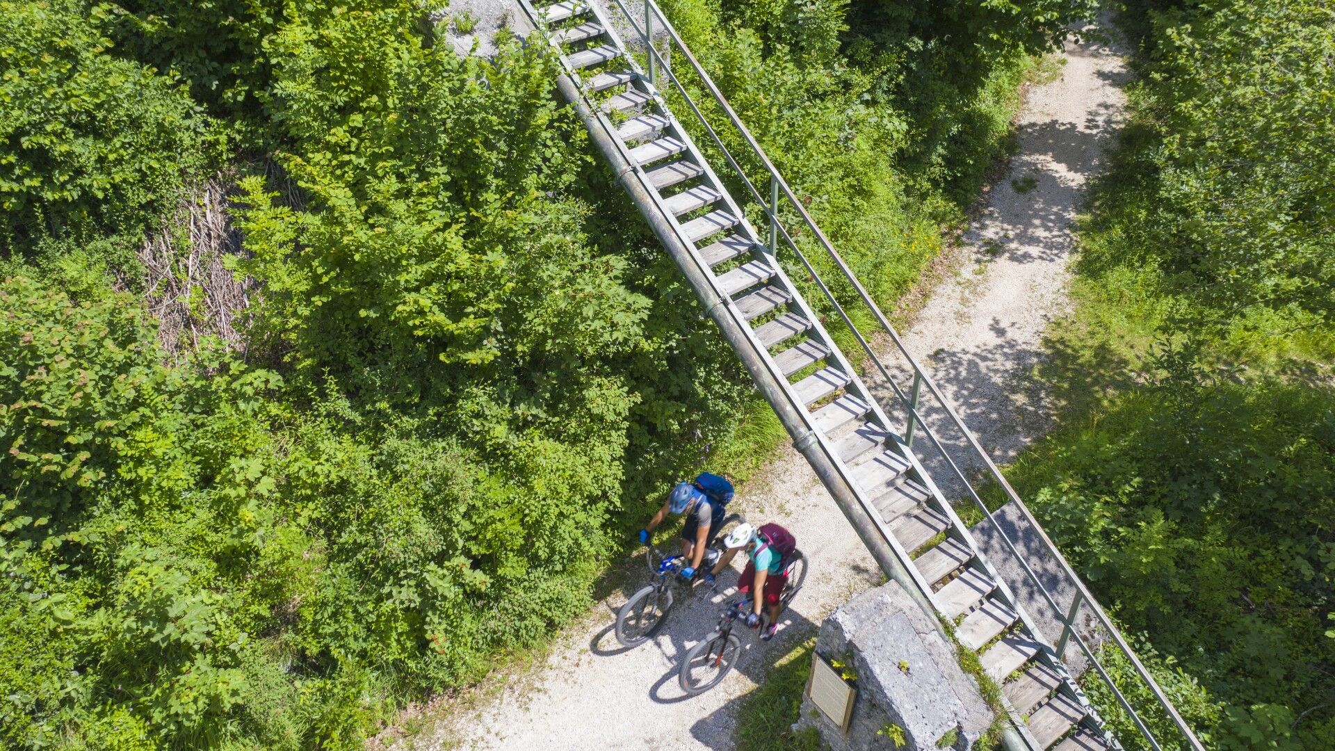
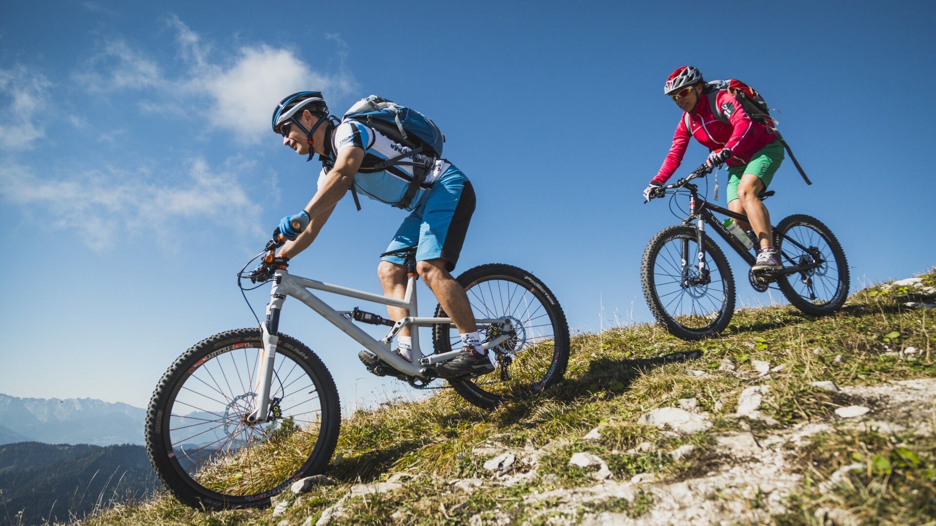
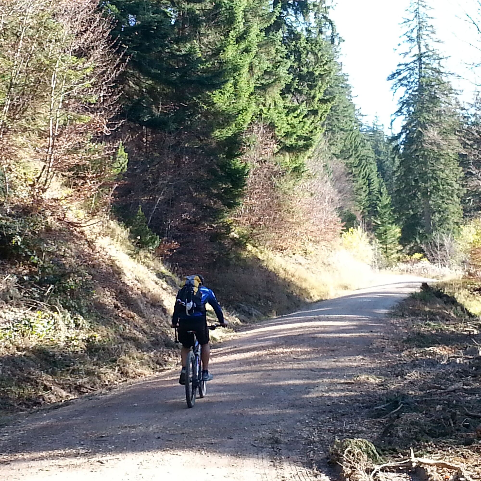
Way: starting point Zwing. From here, the initially flat forest path leads past the Falkensee. We continue in the direction of Adlgaß up to the Inzellerhöhe. The forest path now runs down over the Fürmannalm to Anger. On side roads we finally reach Piding along the Stoißer Ache. Once across the village we cycle parallel to the Saalach to Bad Reichenhall. The steep ascent to the Jochberg stretches up to over 950 m. Strength and good physical condition are required to overcome the approximately 500 vertical meters. Special features: Very varied tour in wonderful nature. Refreshments: Adlgaß, Anger, Piding, Bad Reichenhall, Weißbach and Zwing Tip: We park our mountain bikes on the Jochberg and hike up to the Zwieselam. From here you have a magnificent view over the mountains!

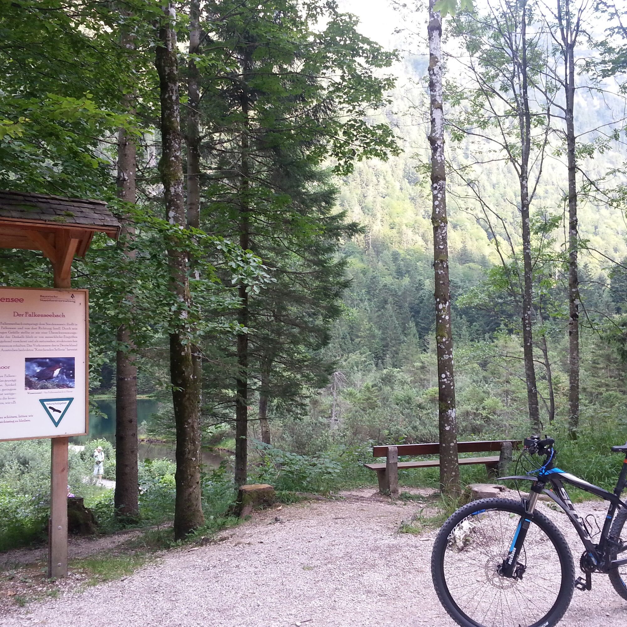
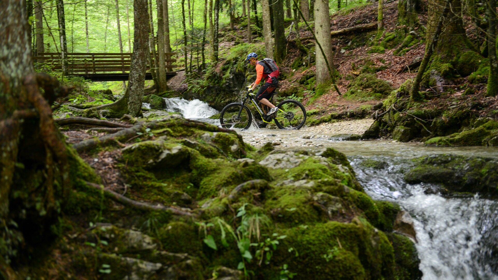

Coming from Siegsdorf, cross the town on the B306. After a good kilometer in the direction of Weißbach/Bad Reichenhall, you will reach the district of Zwing. There is a parking space to the left of the main road.
incell
Webové kamery z prohlídky
Anger - Högl
Kessel-Lifte Inzell
Spa & Fitness Resort Rupertus Therme
Spa & Fitness Resort Rupertus Therme
Predigtstuhl II - Bad Reichenhall
Predigtstuhl II - Bad Reichenhall
Bad Reichenhall
Salzburg
Anger - Högl
Anger - Högl
Anger - Högl
Anger - Högl
Anger - Högl
Anger - Högl
Predigtstuhl III
Predigtstuhl III
Predigtstuhl III
Predigtstuhl III
Predigtstuhl III
Predigtstuhl III
Inzell / Camping Lindlbauer
Predigtstuhl III
Predigtstuhl III
Bad Reichenhall - Hotel Seeblick Thumsee
Získejte přehled Vždy živě na místě s více než 9 500 webkamerami. bergfex Jako uživatel Pro si nyní můžete zobrazit odpovídající webové kamery pro mnoho prohlídek v aplikaci prohlídky z. Můžete si tak přímo prohlédnout aktuální podmínky. Oblíbené prohlídky v okolí
- 4.4
Staufen-Bergtour
středníTuristika 14.1 km - 3.9
Rundwanderweg zur Steinernen Agnes
Turistika 9 km - 4.4
Alpgarten-Rundweg
Turistika 2.93 km - 4.9
Dötzenkopf Rundweg
středníTuristika 6.95 km - 4.8
Untersberg (Salzburger Hochthron)
středníTuristika 11.8 km - 4.9
Frillensee round from Adlgaß
Turistika 5.82 km - 4.8
Reitsteig - Dopplersteig Runde_Untersberg
středníVysokohorská turistika 9.89 km - 4.6
Untersberg Bahn - Salzburger Hochthron - Berchstendgadener Hochthron
středníTuristika 11.2 km - 4.7
Pidinger Klettersteig mit Umweg im Abstieg
heavyVia ferrata 15.0 km - 4.7
Salzburger Hochthron (Untersberg)
světloTuristika 2.36 km
Pěší turistika a stopování


Nenechte si ujít nabídky a inspiraci pro vaši příští dovolenou
Vaše e-mailová adresa byl přidán do poštovního seznamu.





