







Panoramic loop to Lake Constance via Bregenz - Fluh - Pfänder
Úroveň obtížnosti: S1
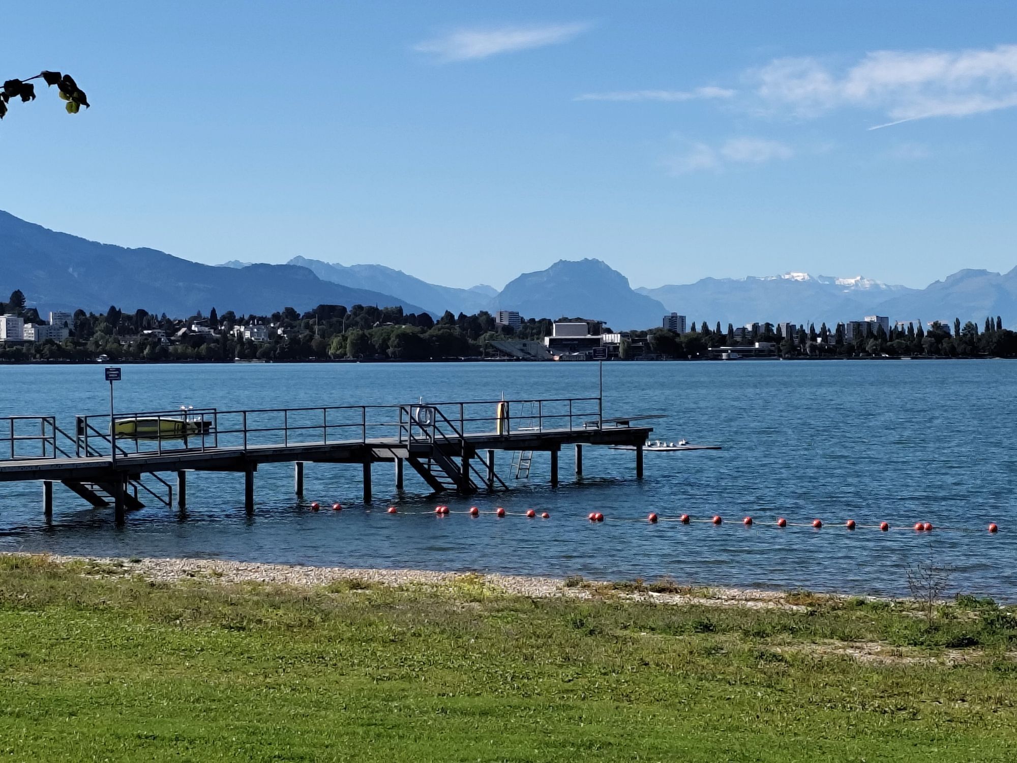
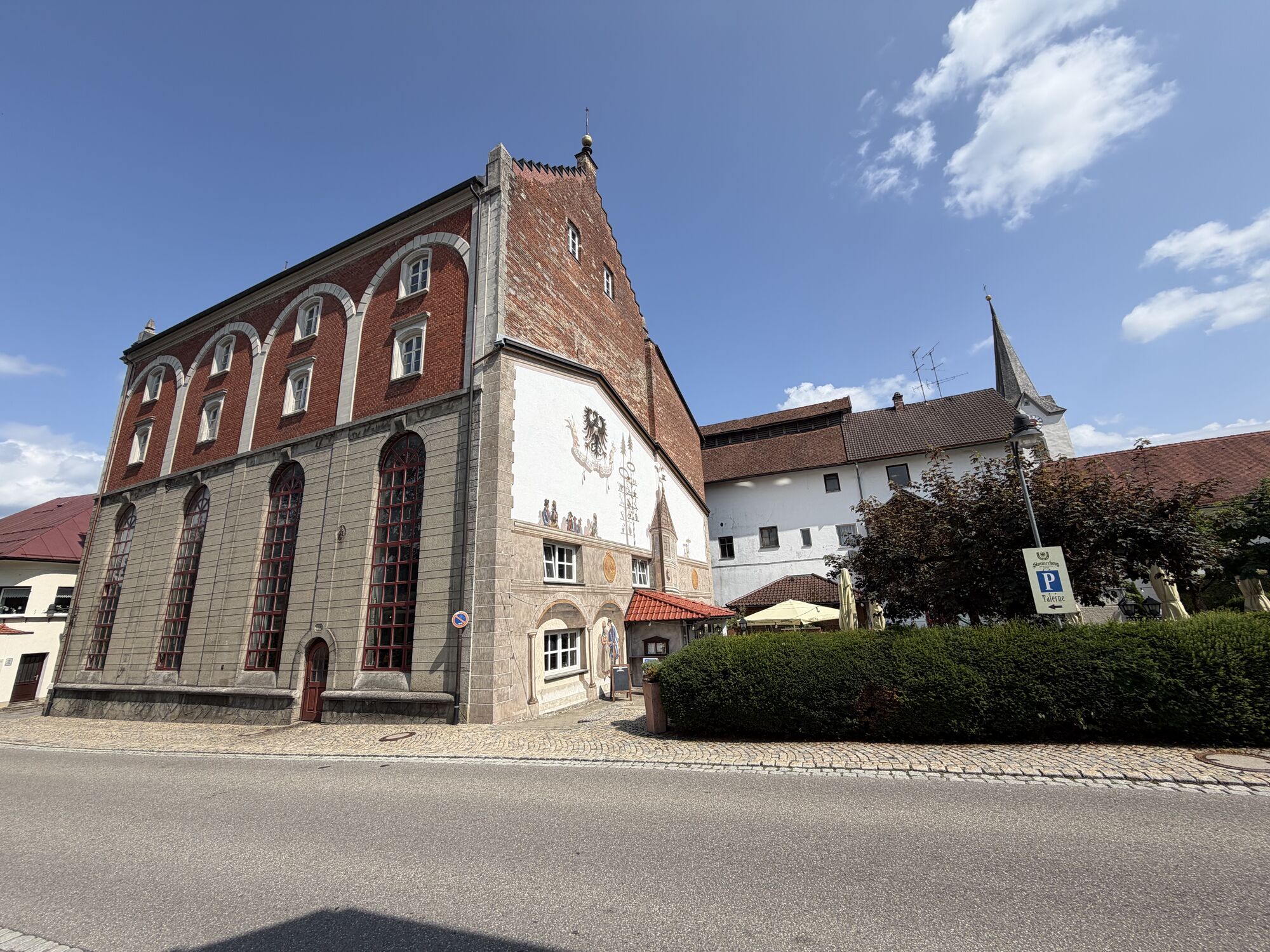
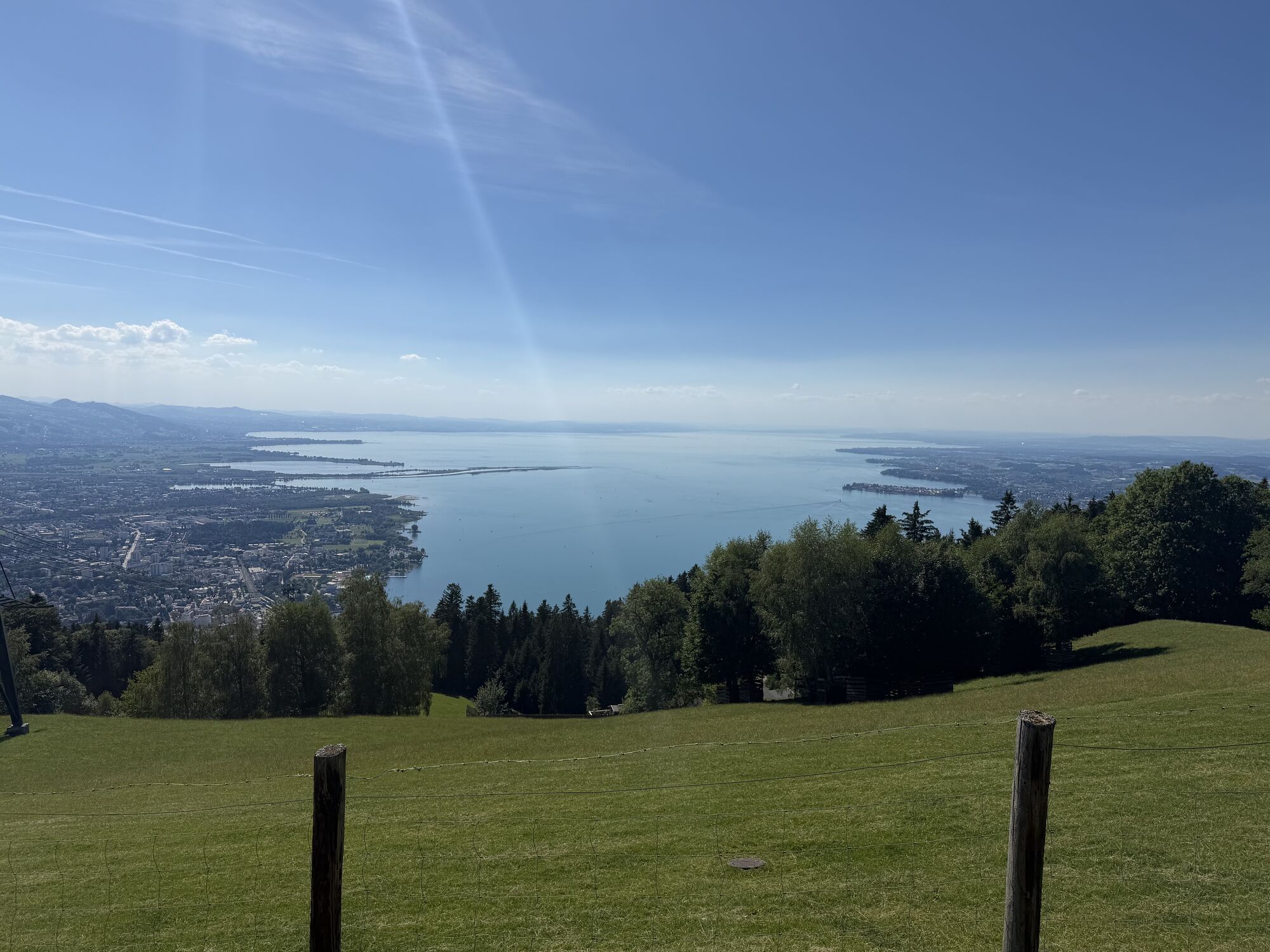
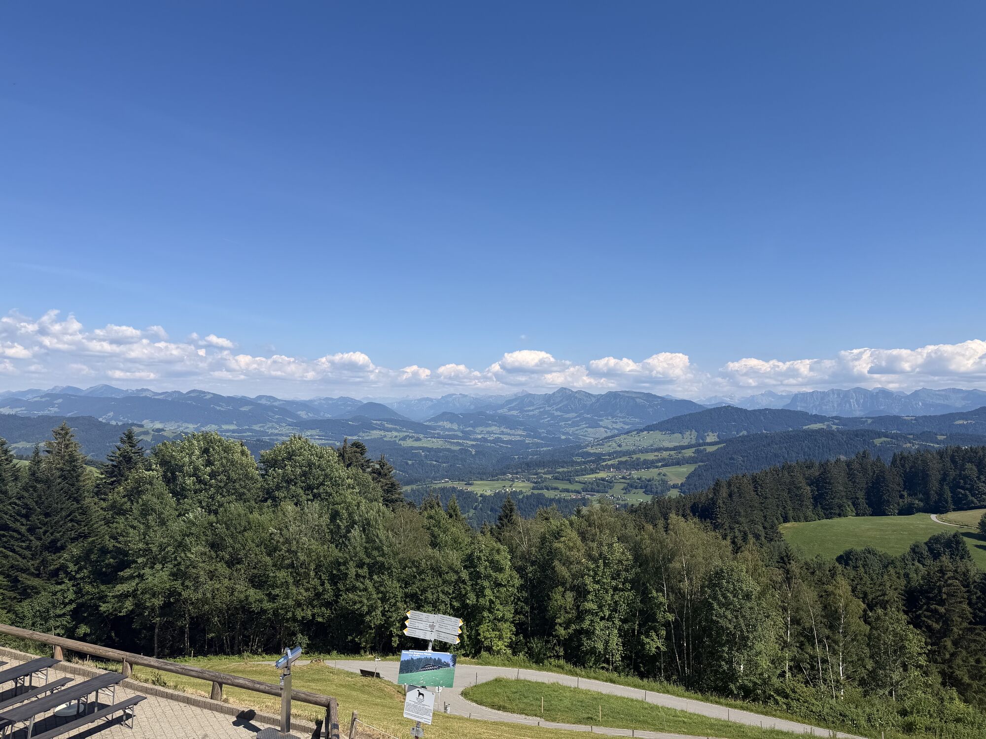
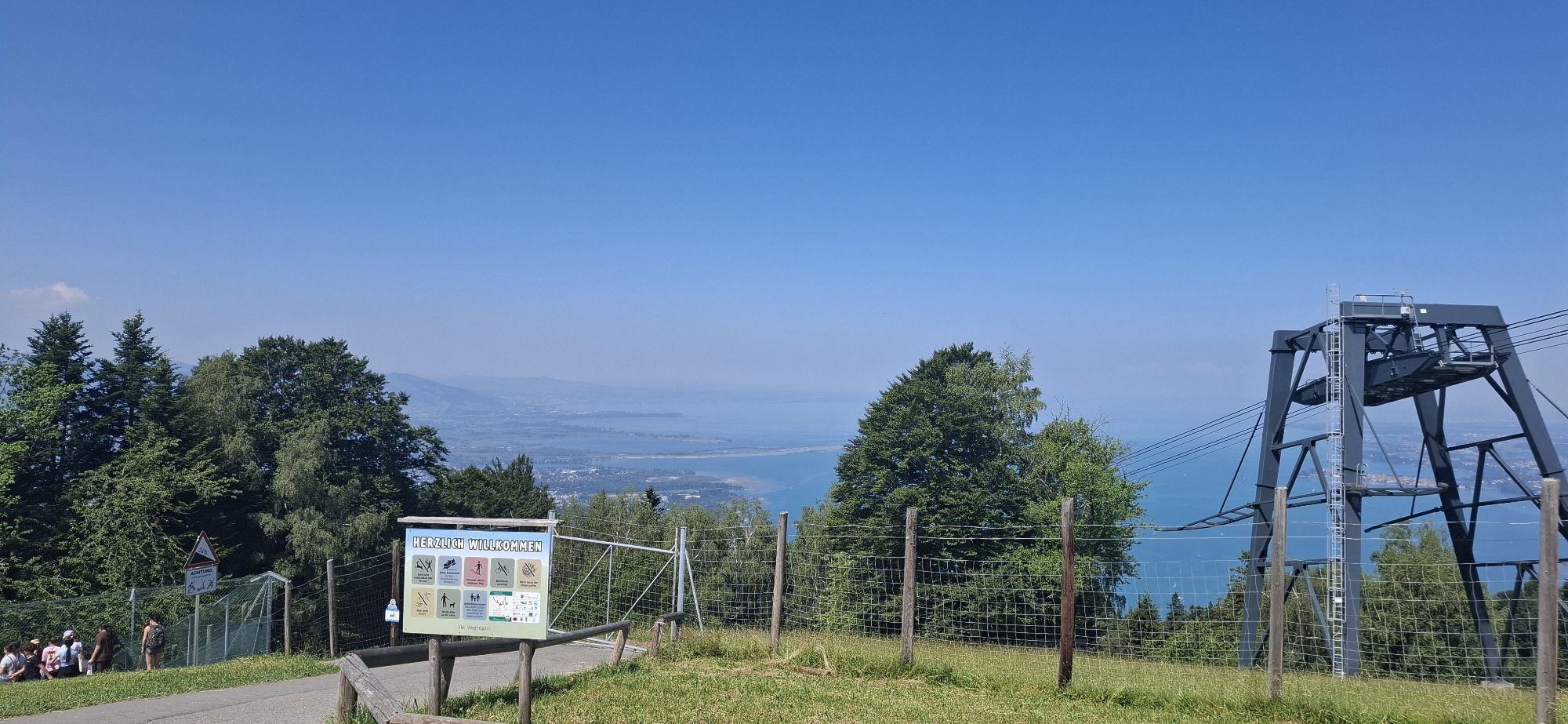
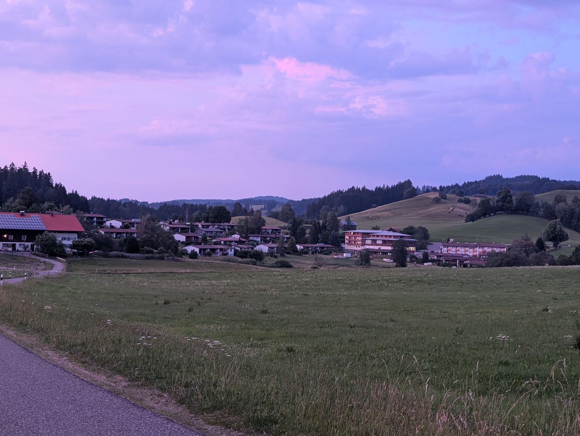
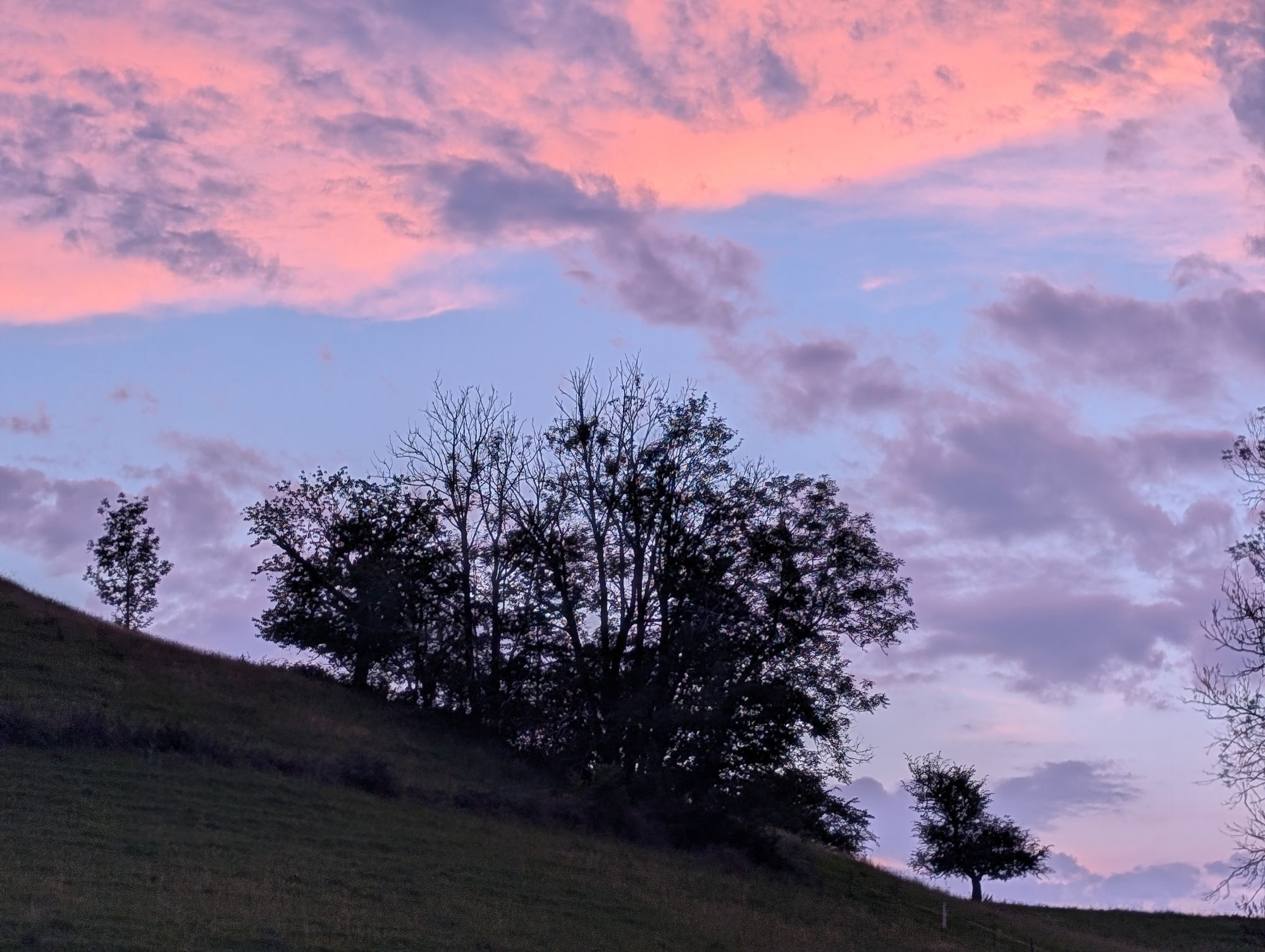
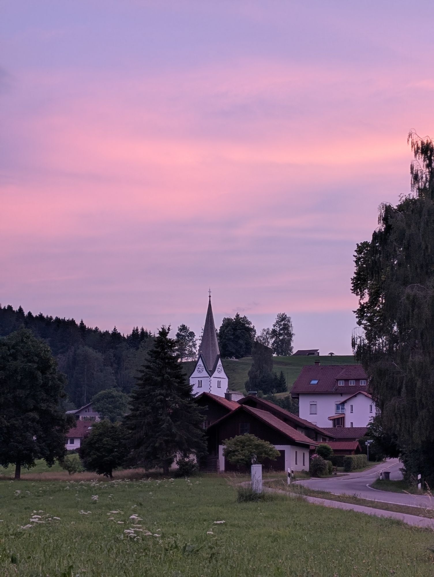
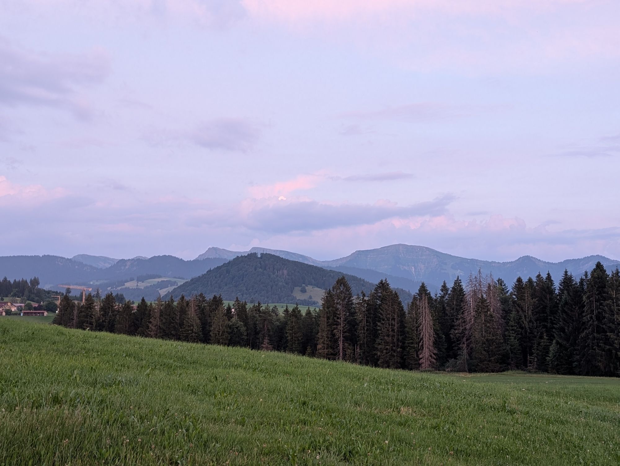
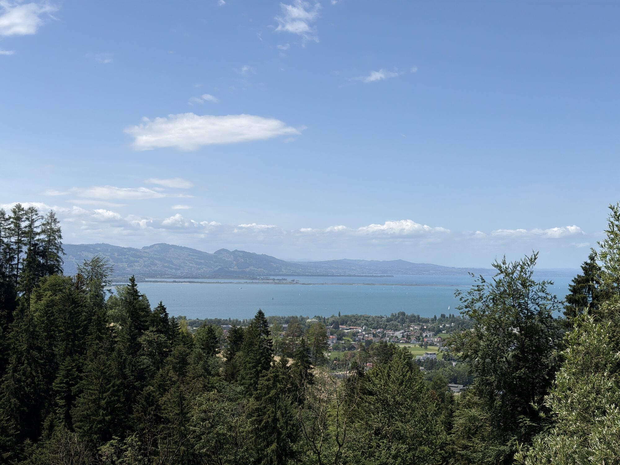
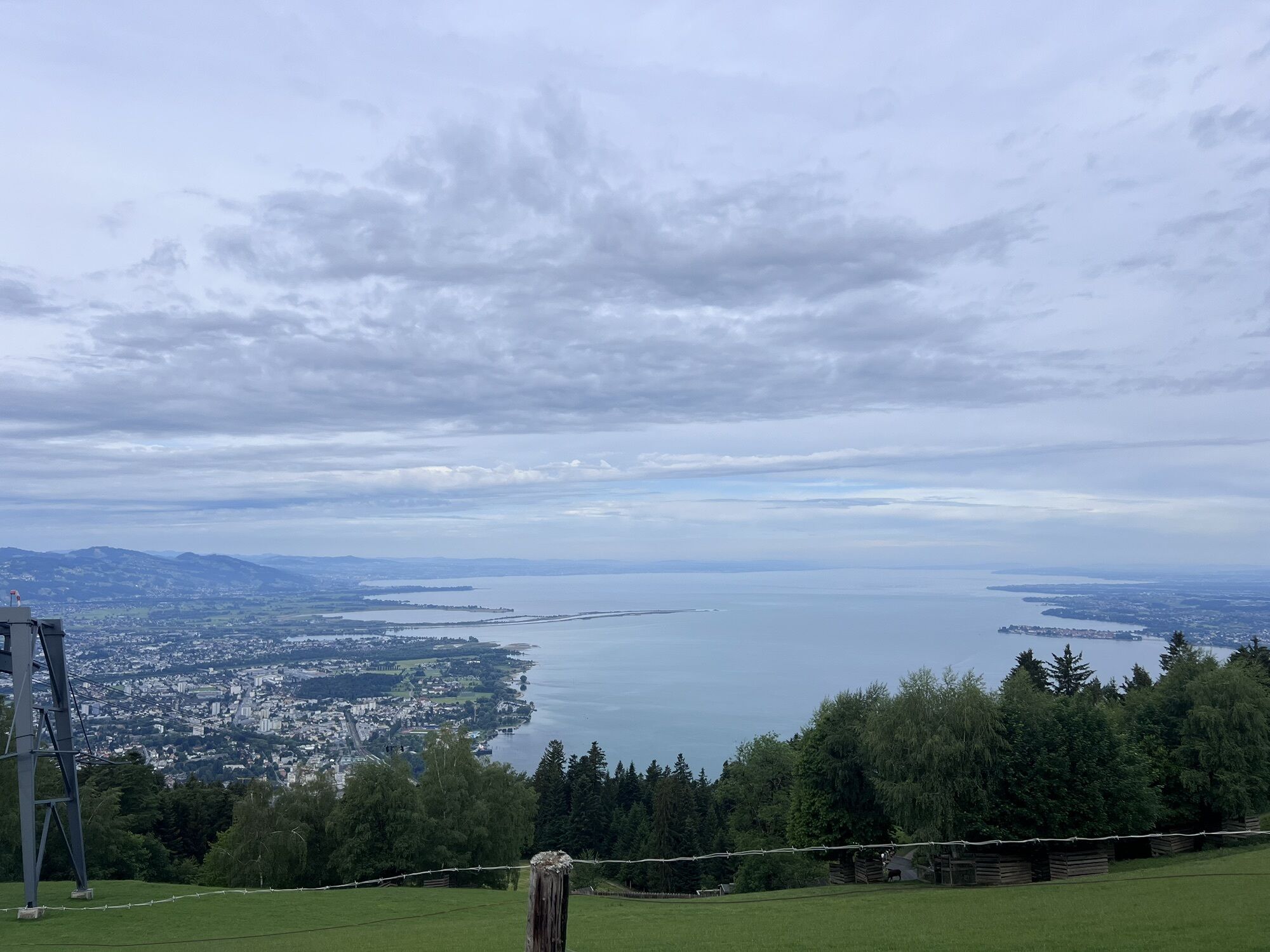
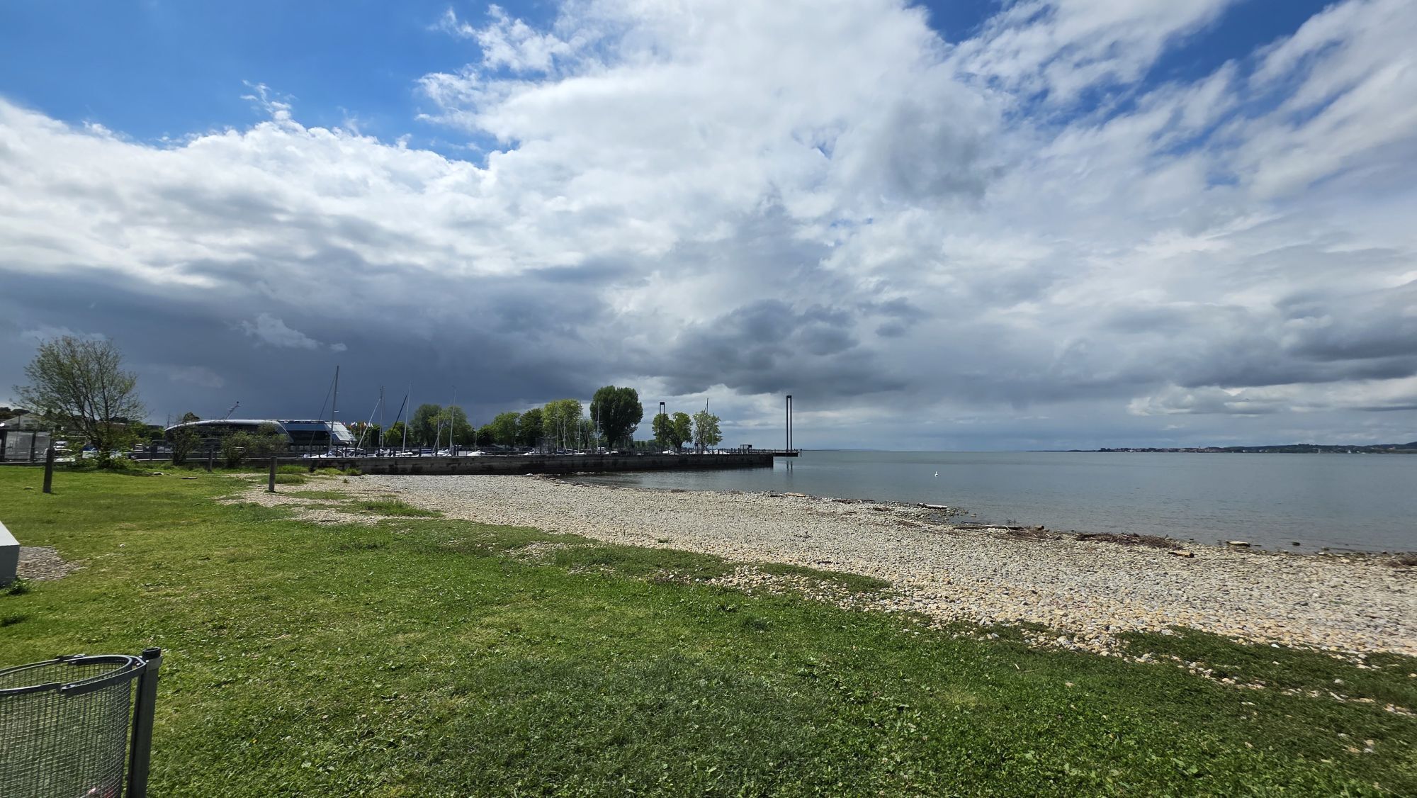
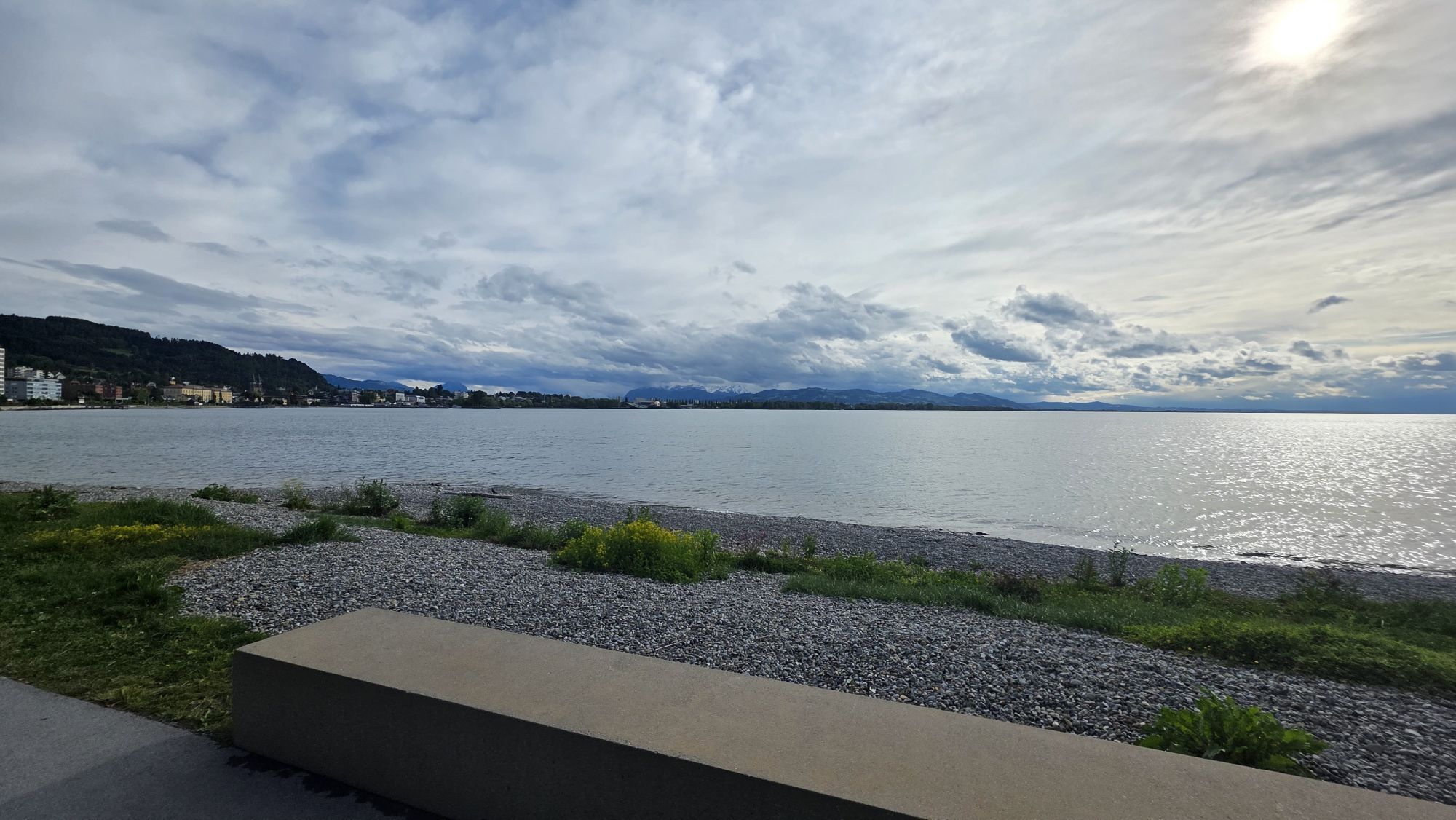
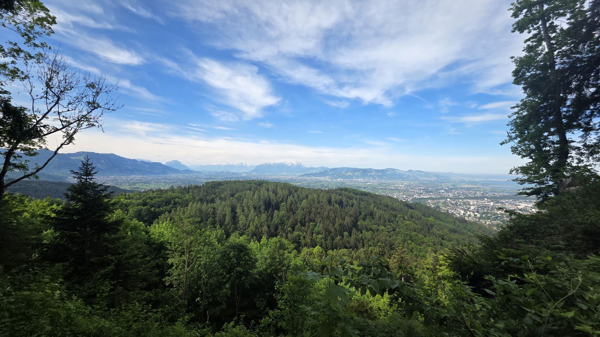
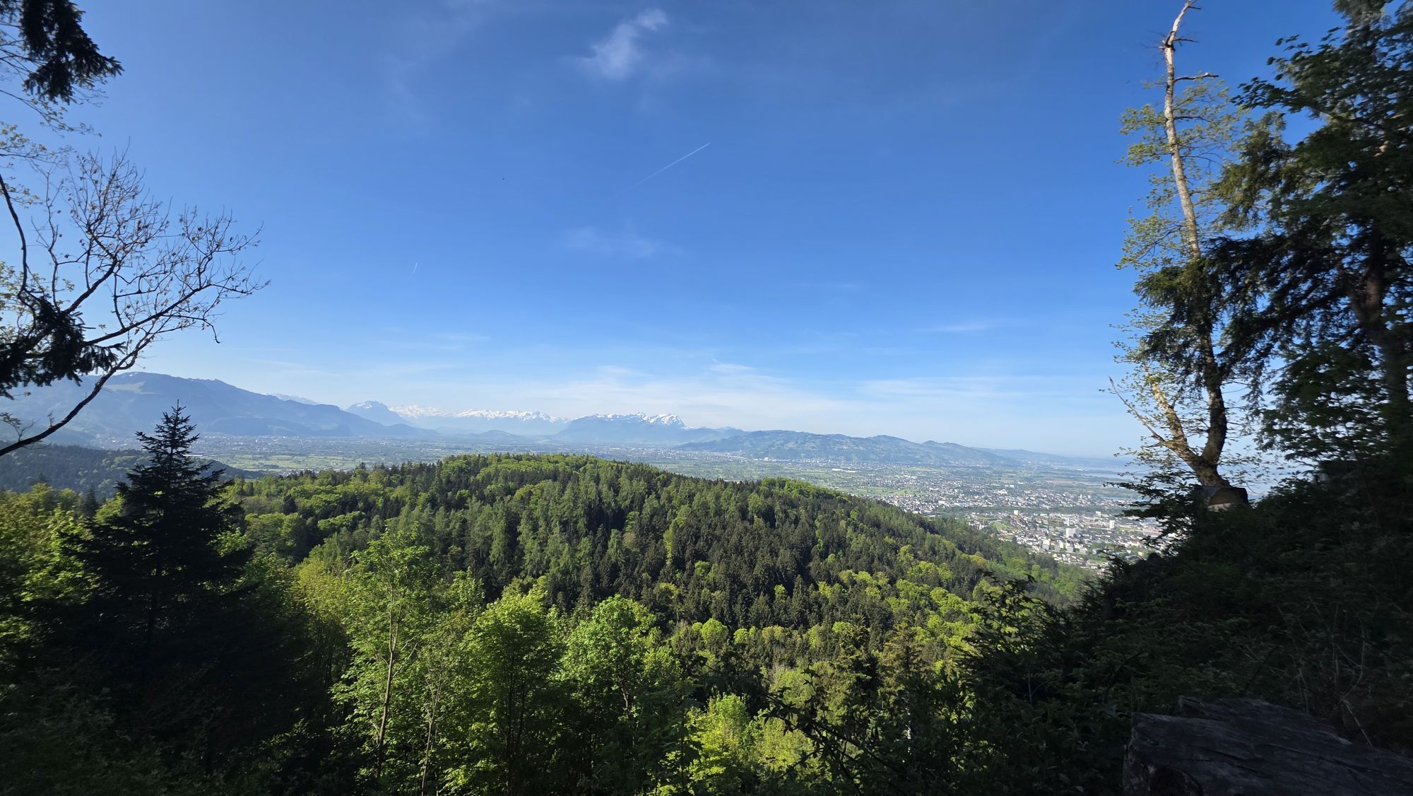
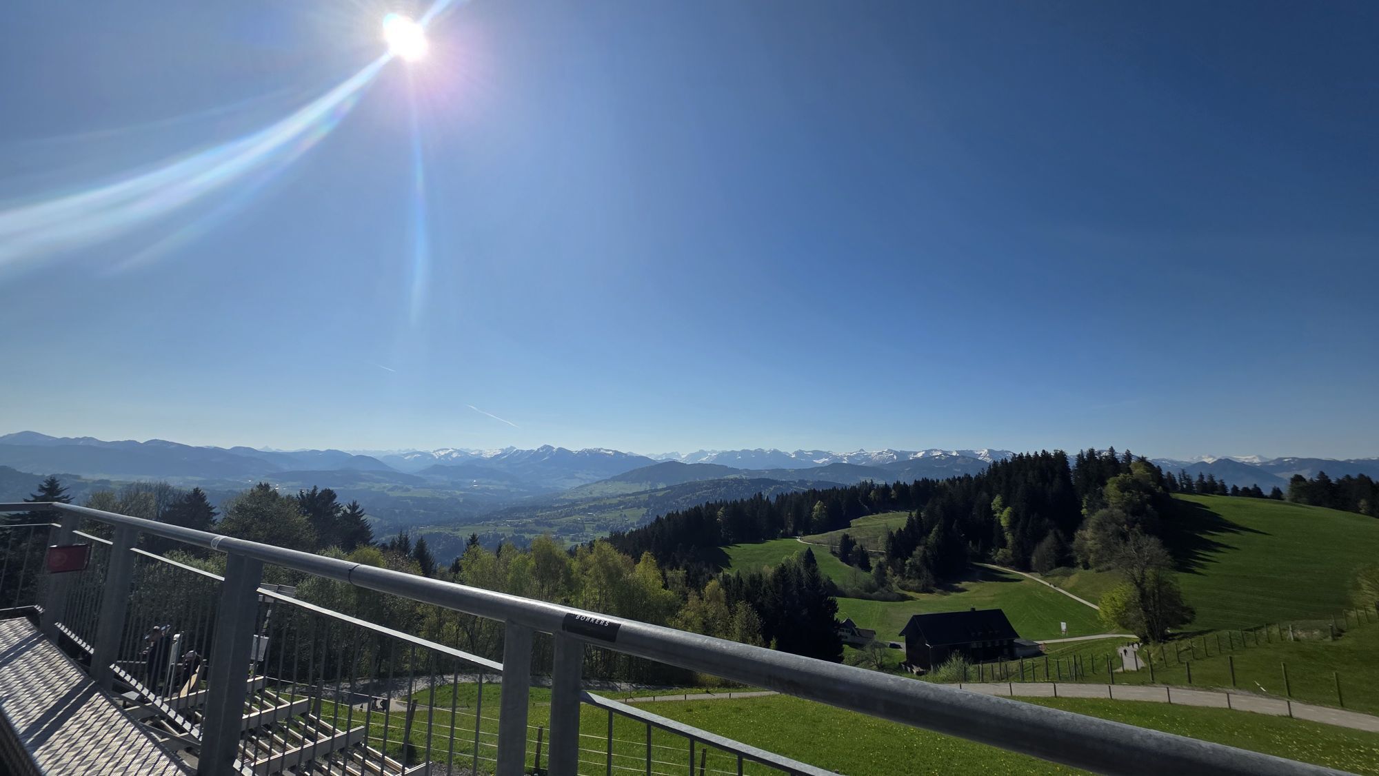
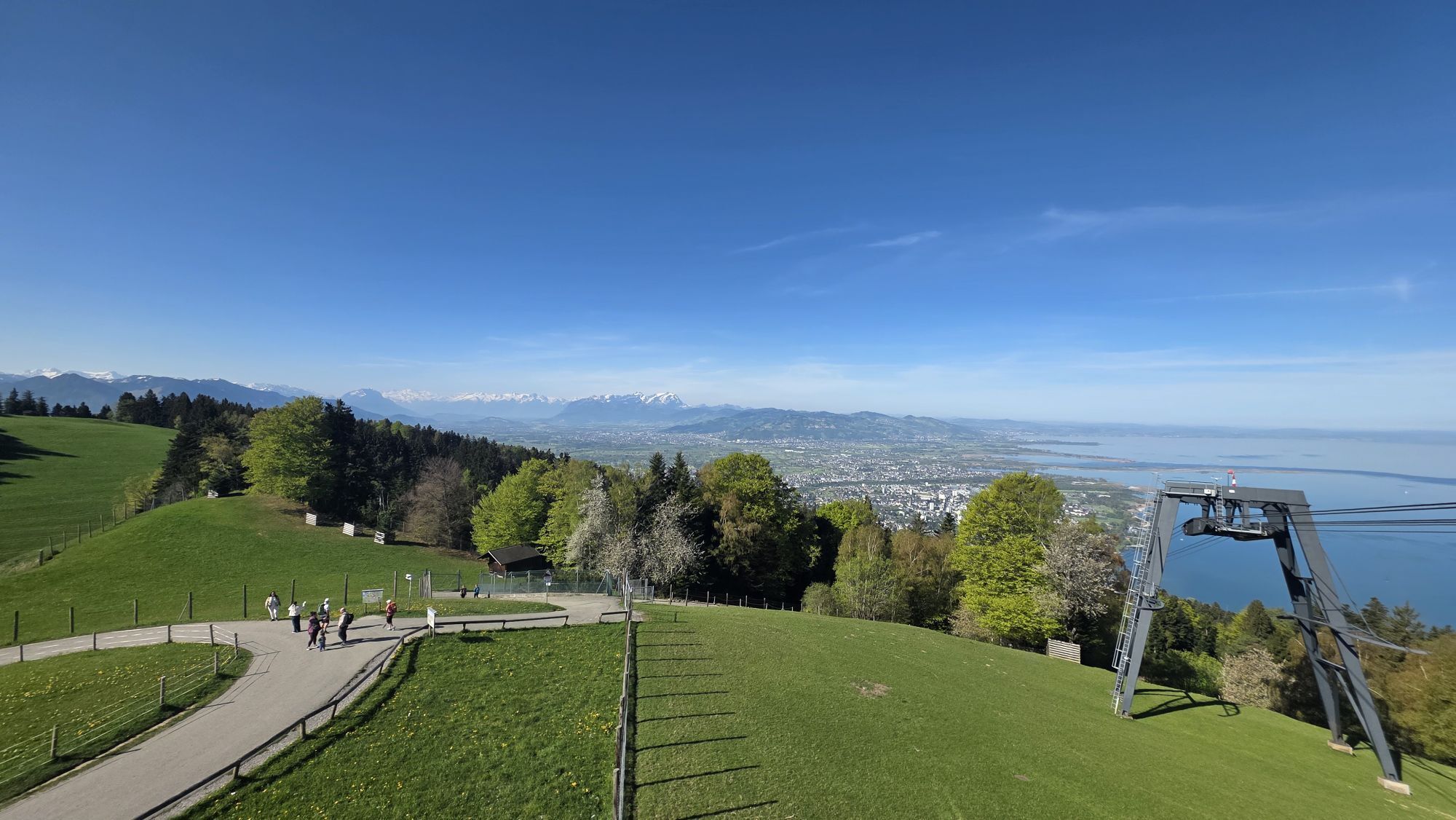
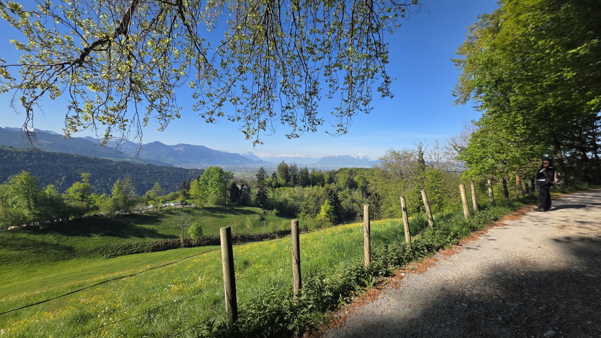

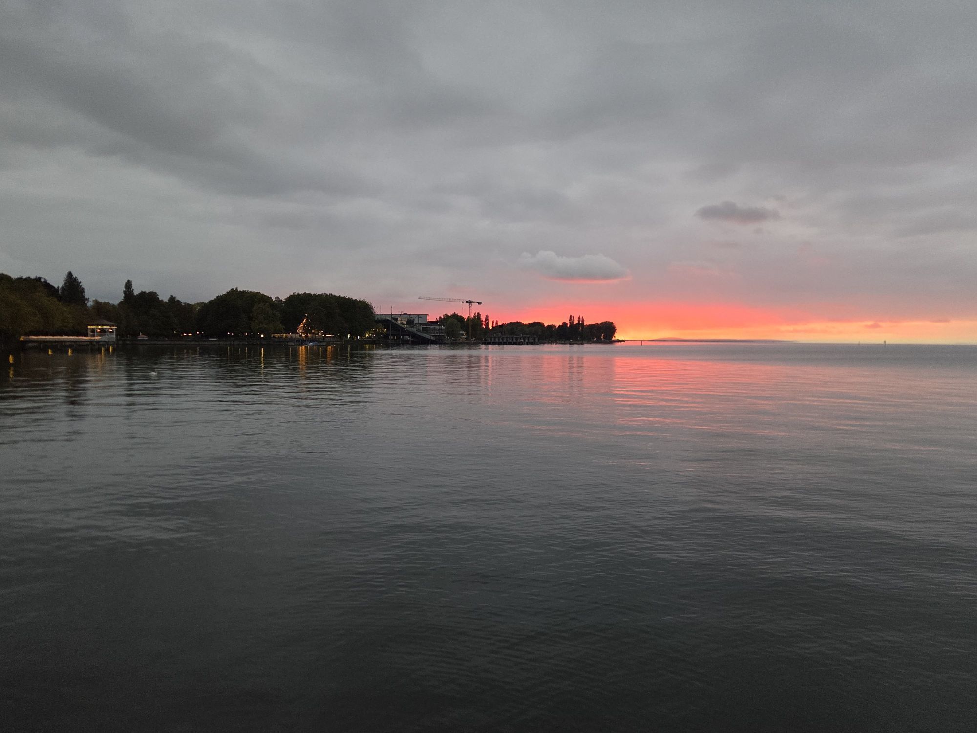
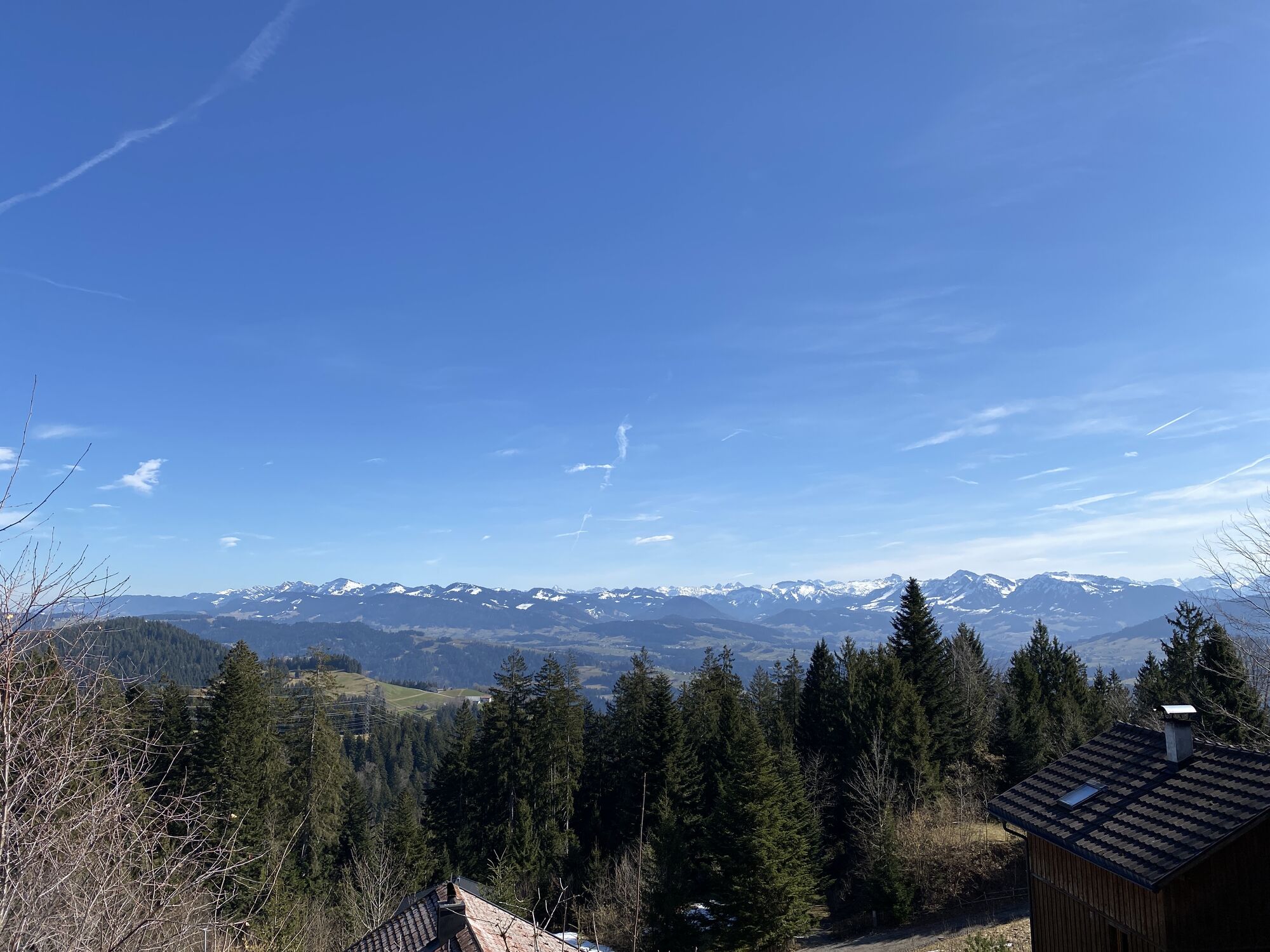
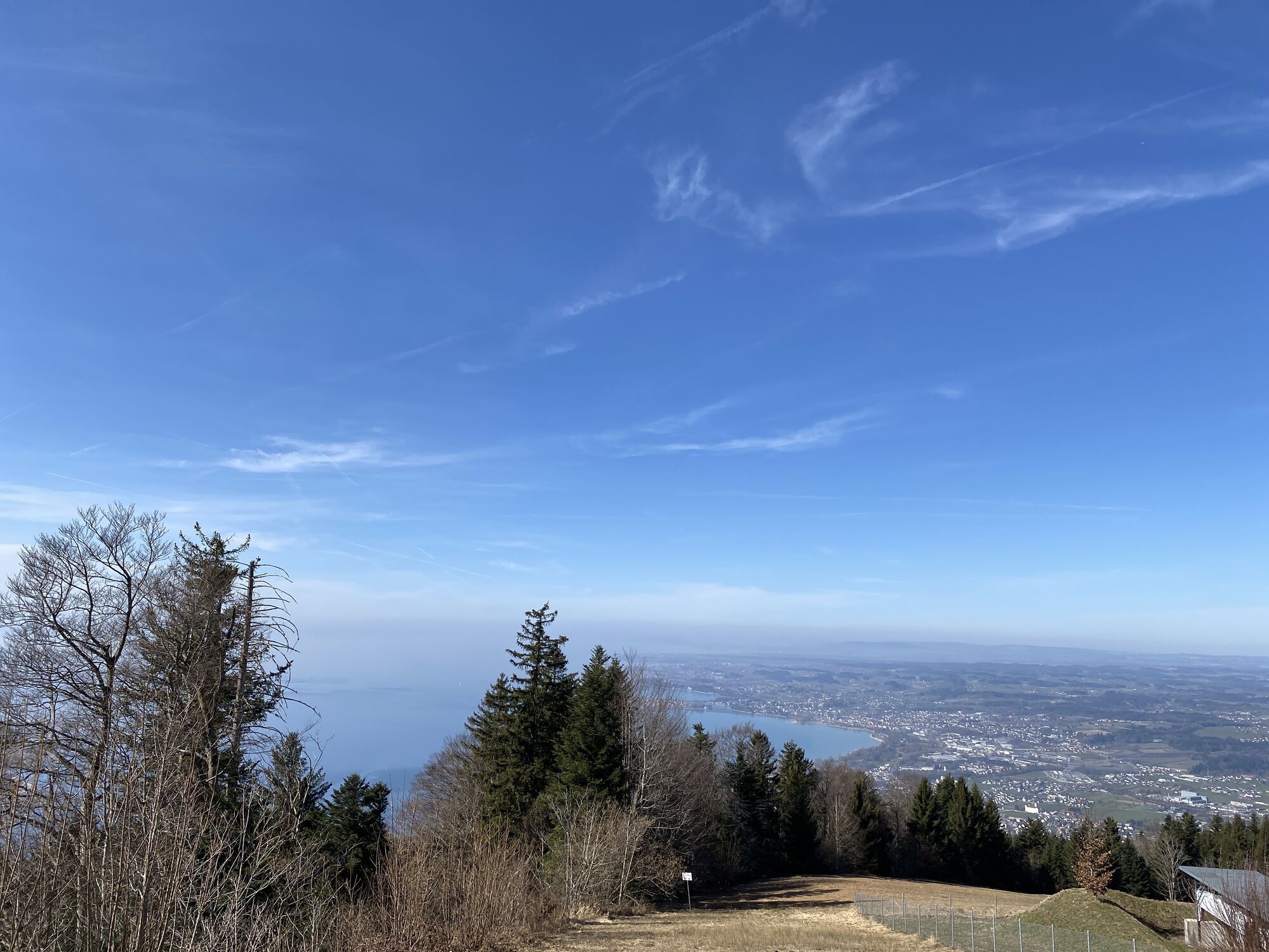


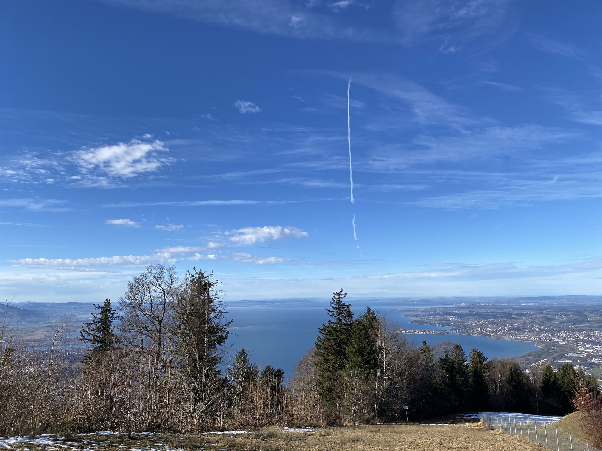
This panoramic loop diversely leads to the Austrian part of Lake Constance. The outbound trip goes via Genhofen, Simmerberg, Weiler, Bremenried and Schalkenried to just below Scheidegg. Along the Bienenweg...
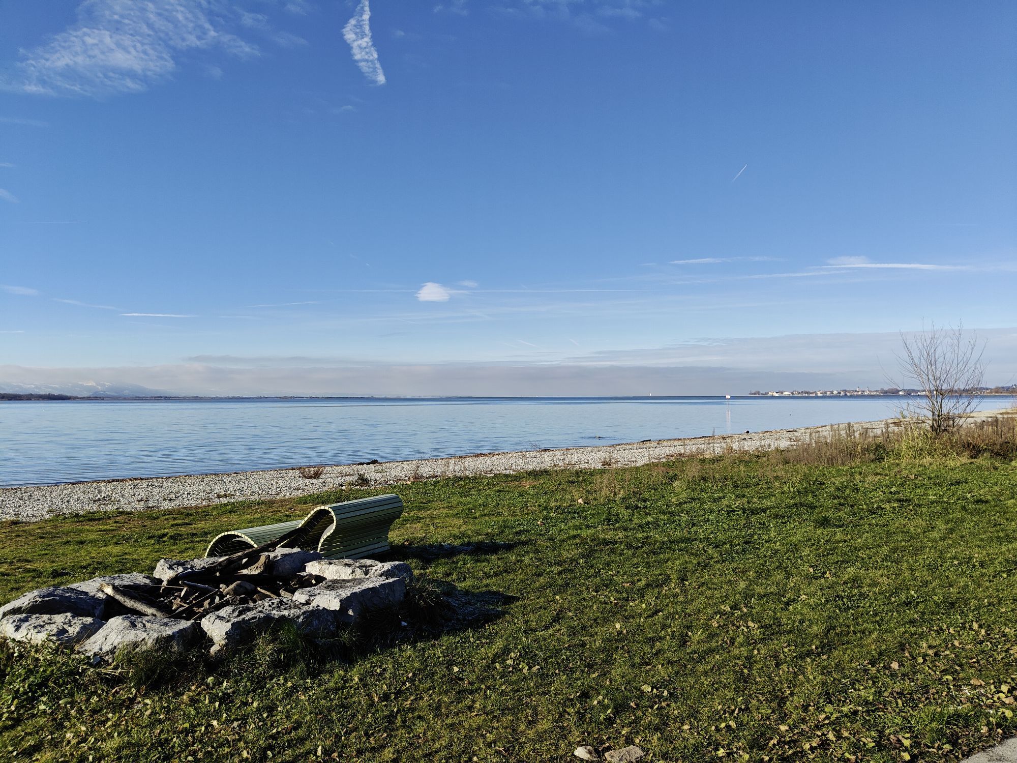
This panoramic loop diversely leads to the Austrian part of Lake Constance. The outbound trip goes via Genhofen, Simmerberg, Weiler, Bremenried and Schalkenried to just below Scheidegg. Along the Bienenweg you reach the motorhome parking at the Kurhaus. Further to the Skywalk parking lots, then follows a long stretch through the forest. It is best to use the GPS data of the route to reach the district of Eichenberg. Alternatively, the last few kilometers on the road to the district of Eichenberg. This is followed by a challenging steep descent on gravel via Ruggburg down to Lochau. At the bottom, you pass some very beautiful properties. We roll a few more meters down to the lake and on the newly laid cycle path to Bregenz. There you can rest as you wish and recharge the battery if necessary.
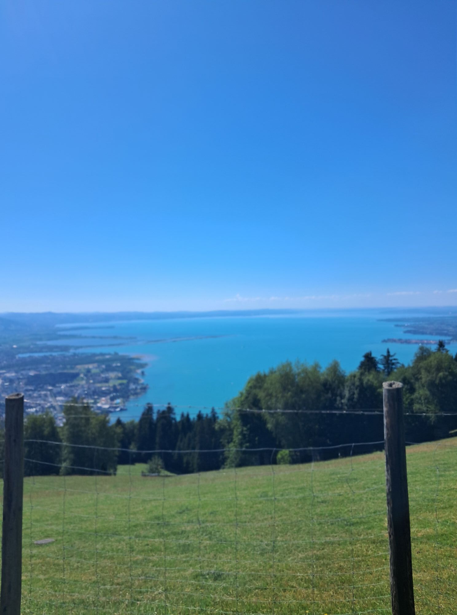
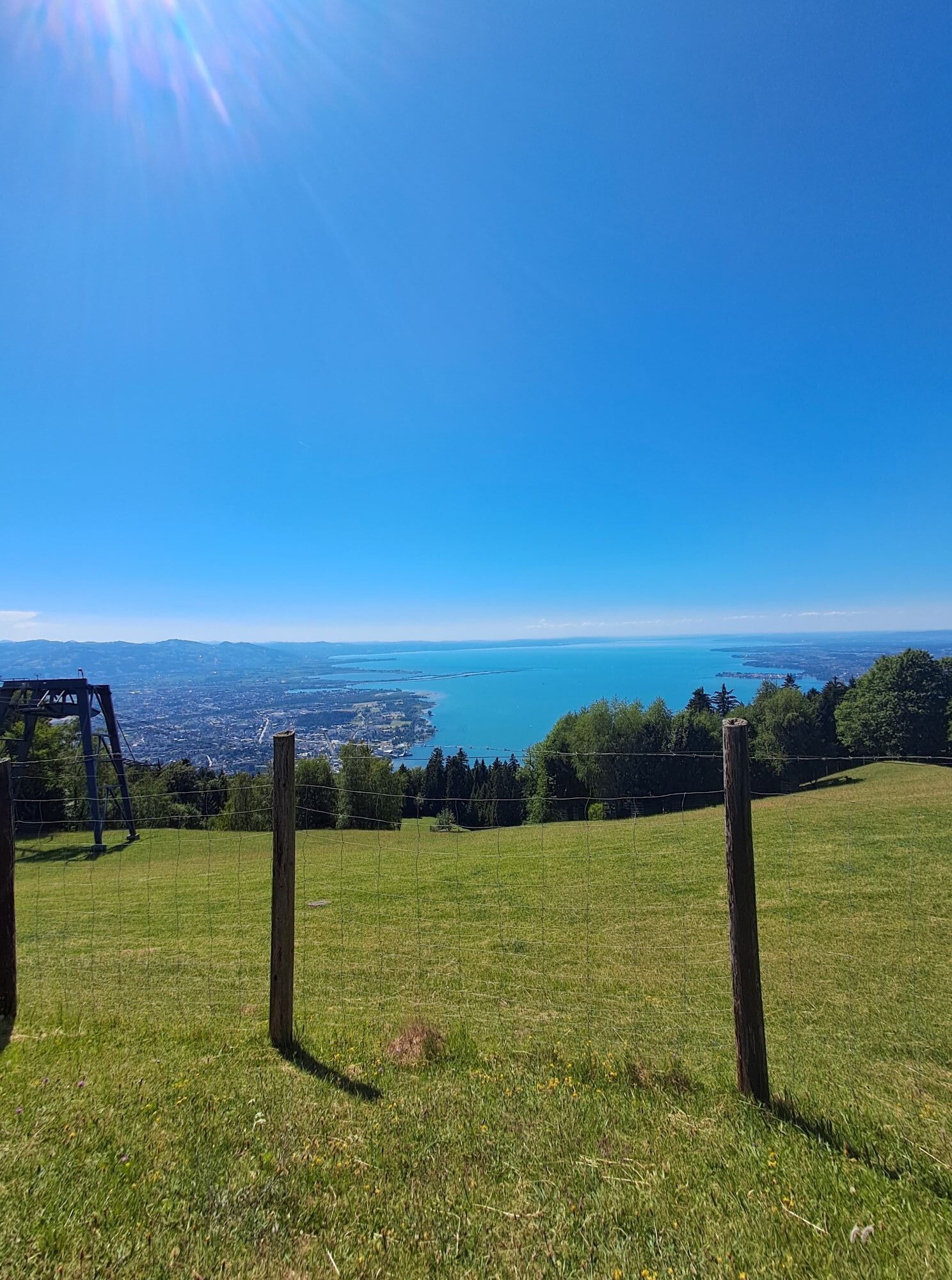
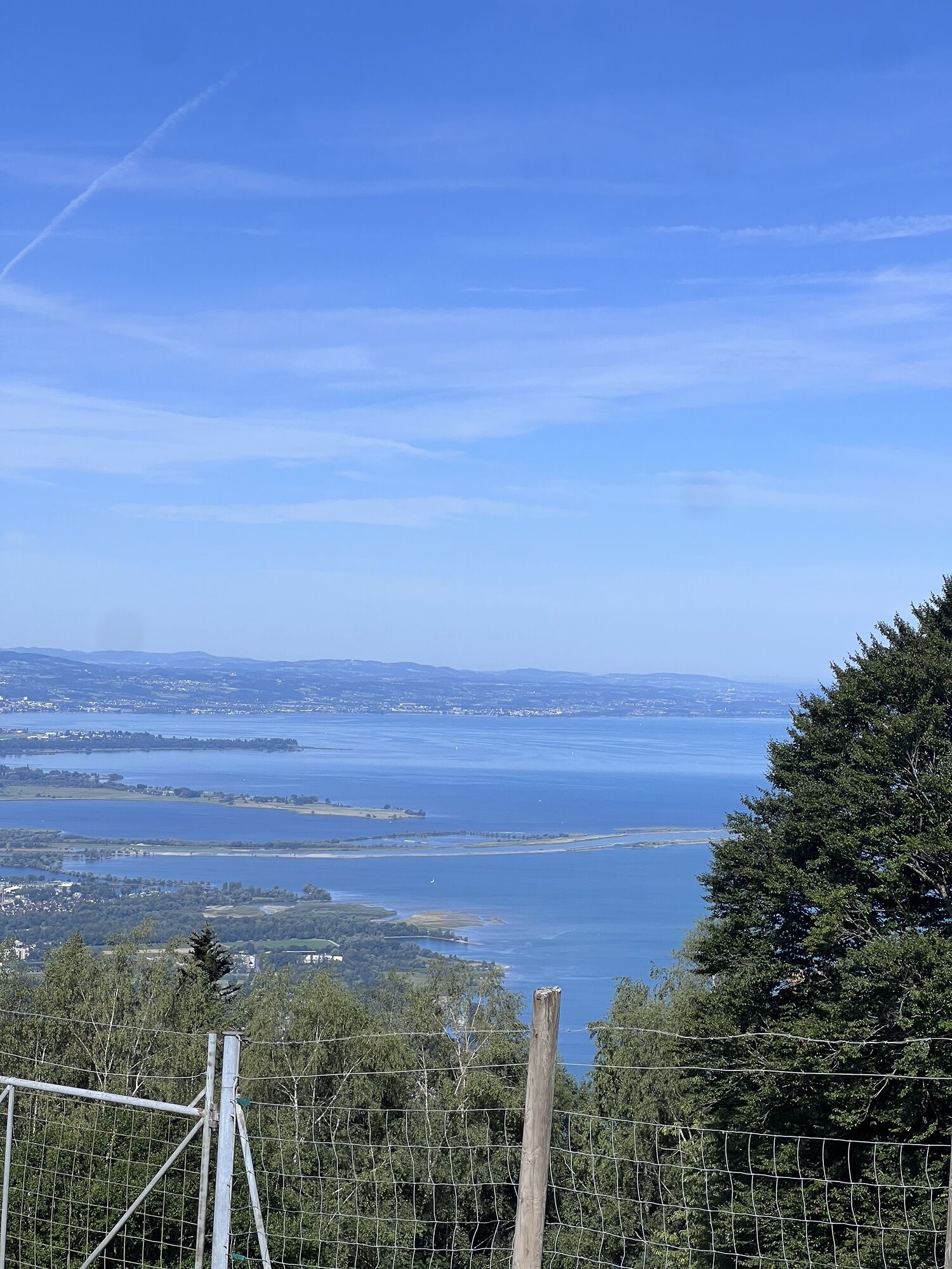
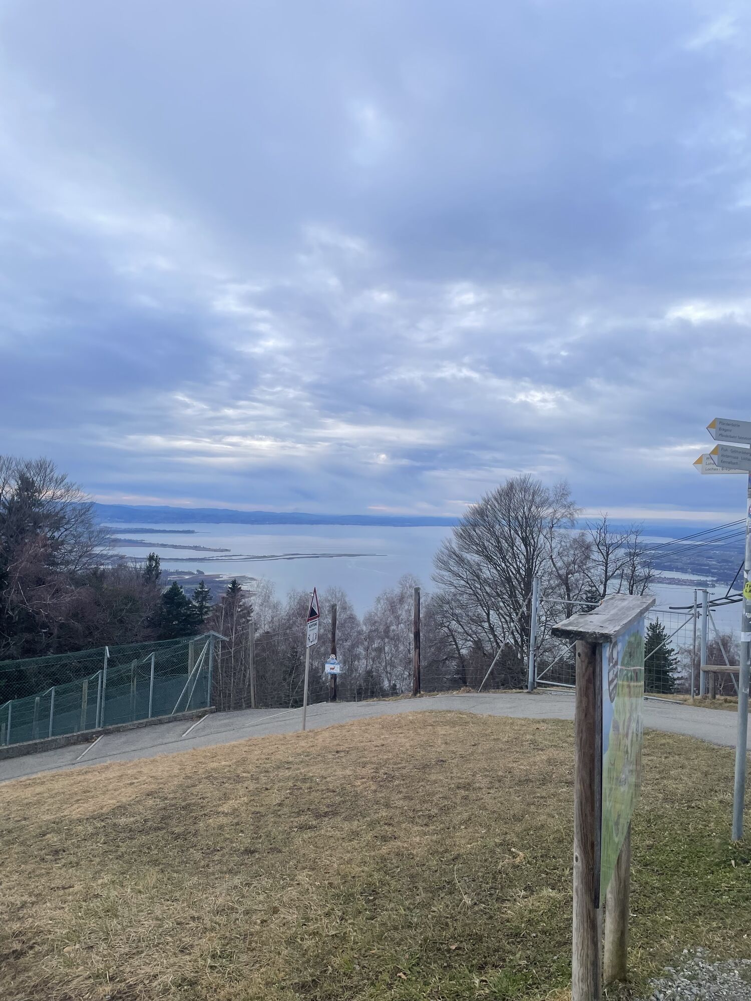
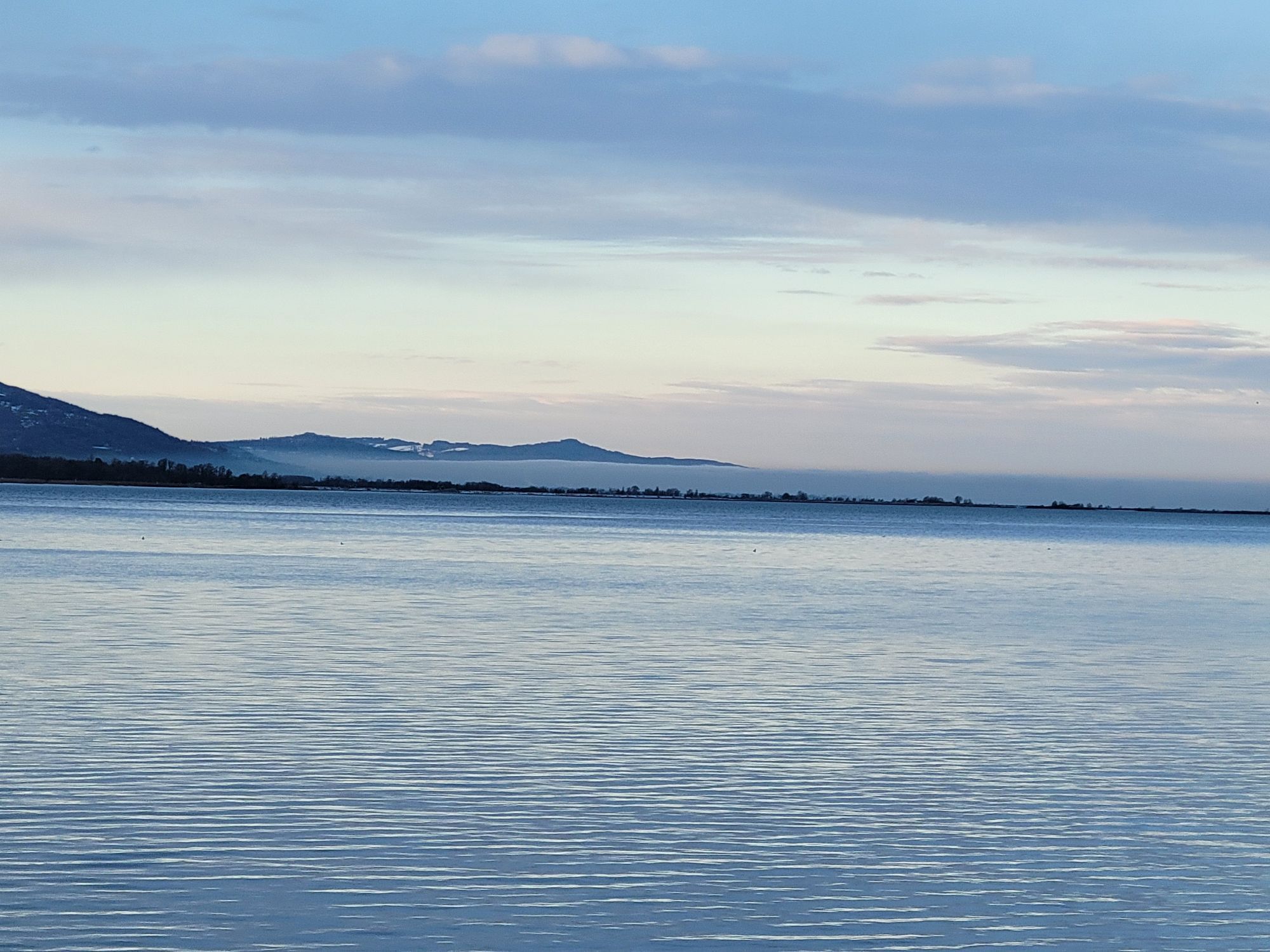
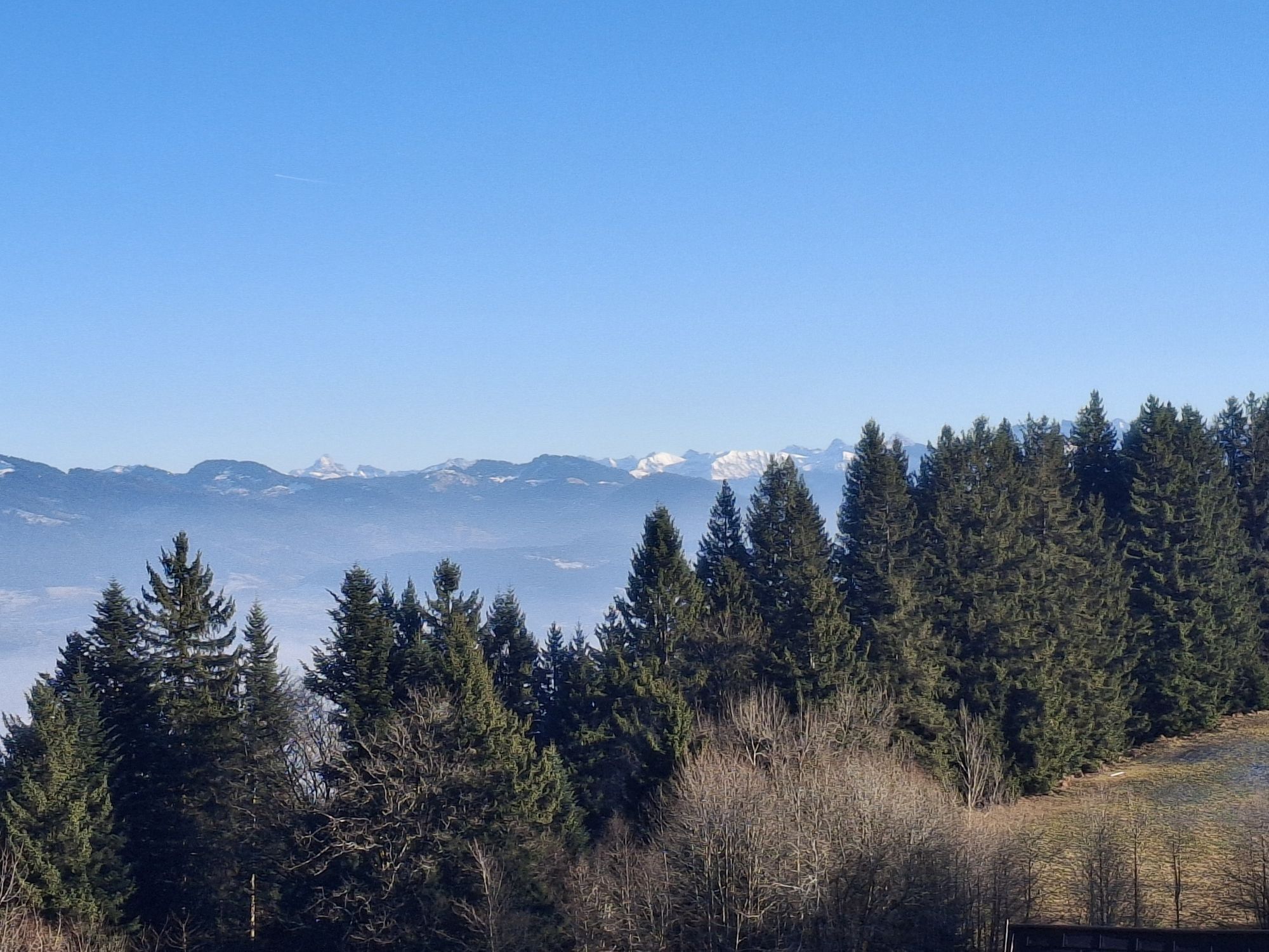
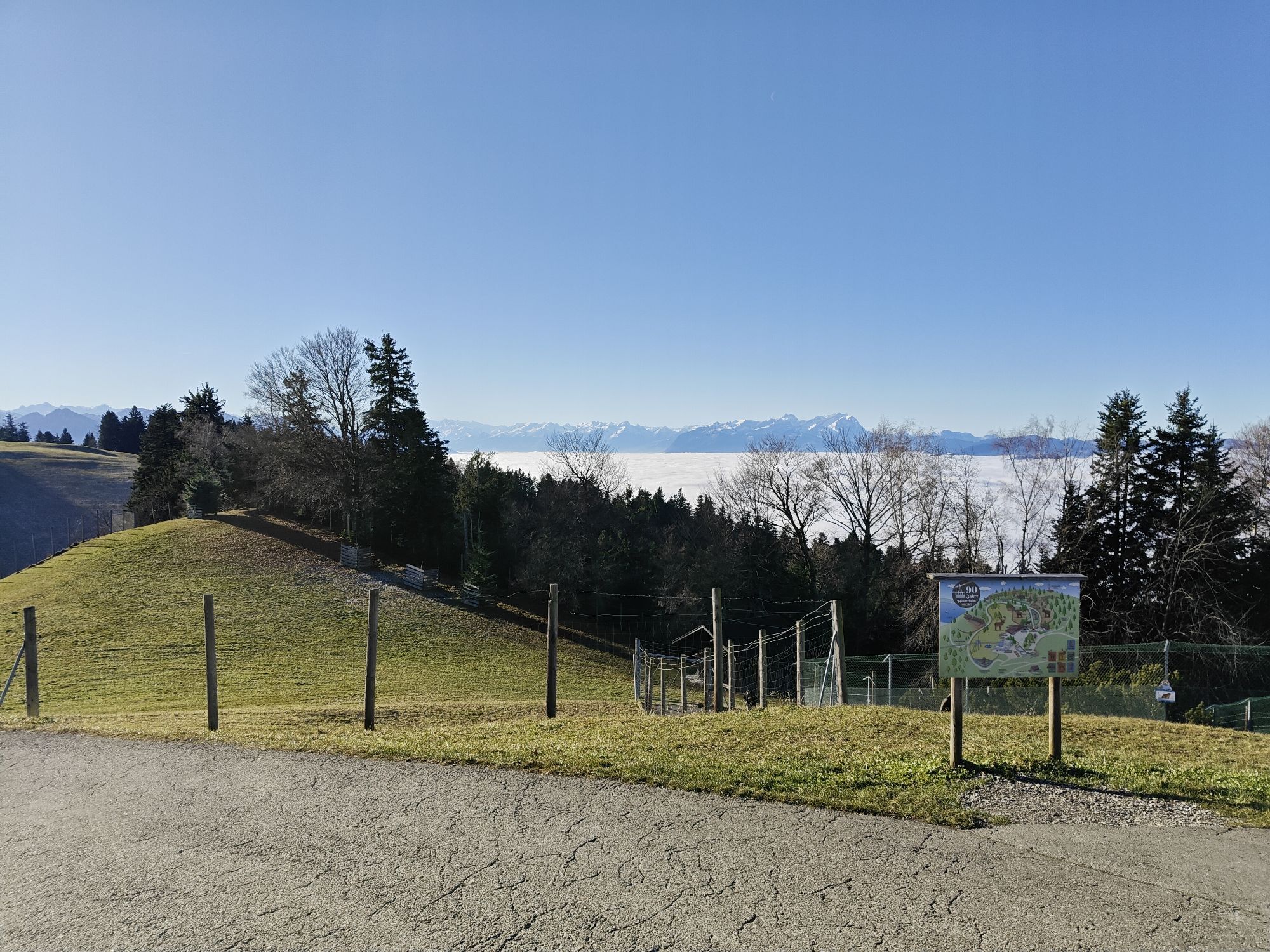
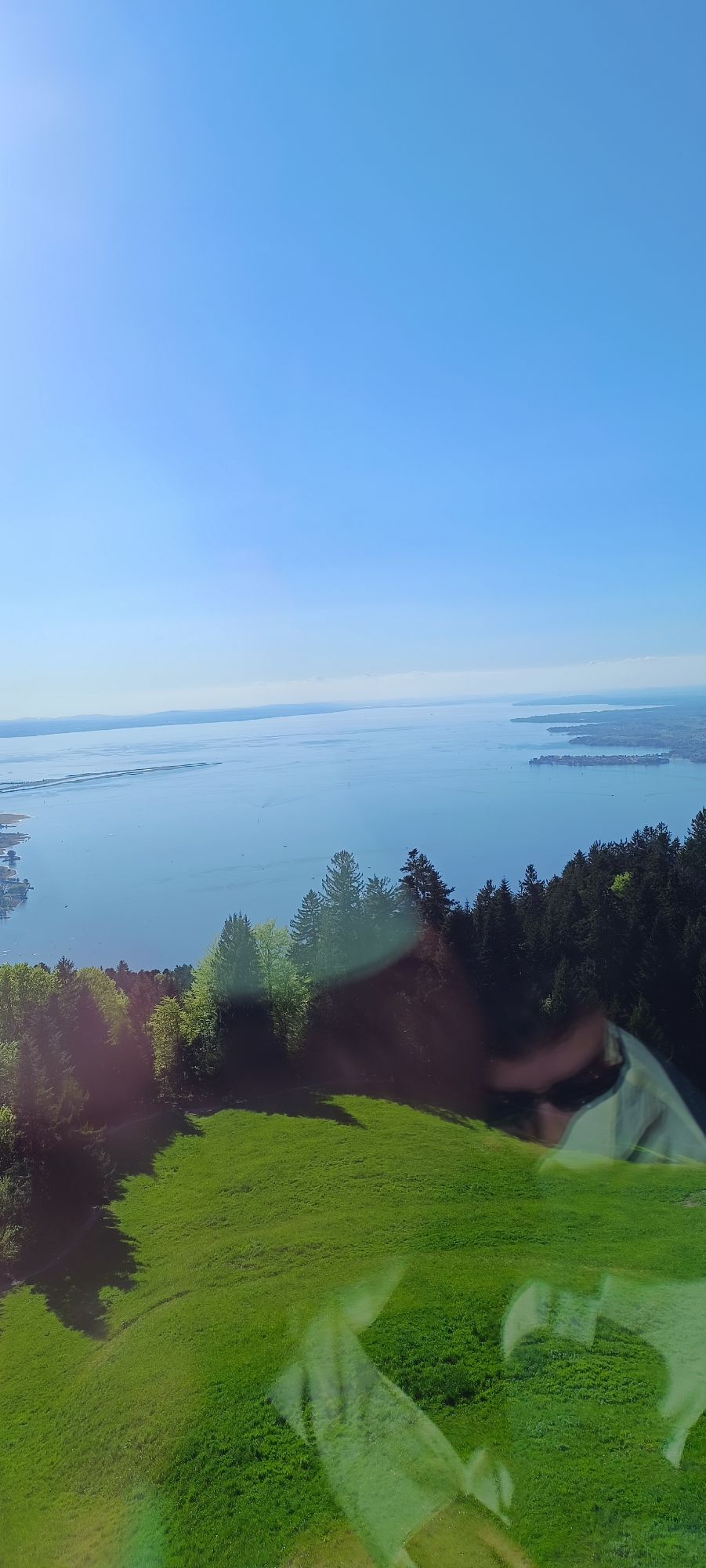
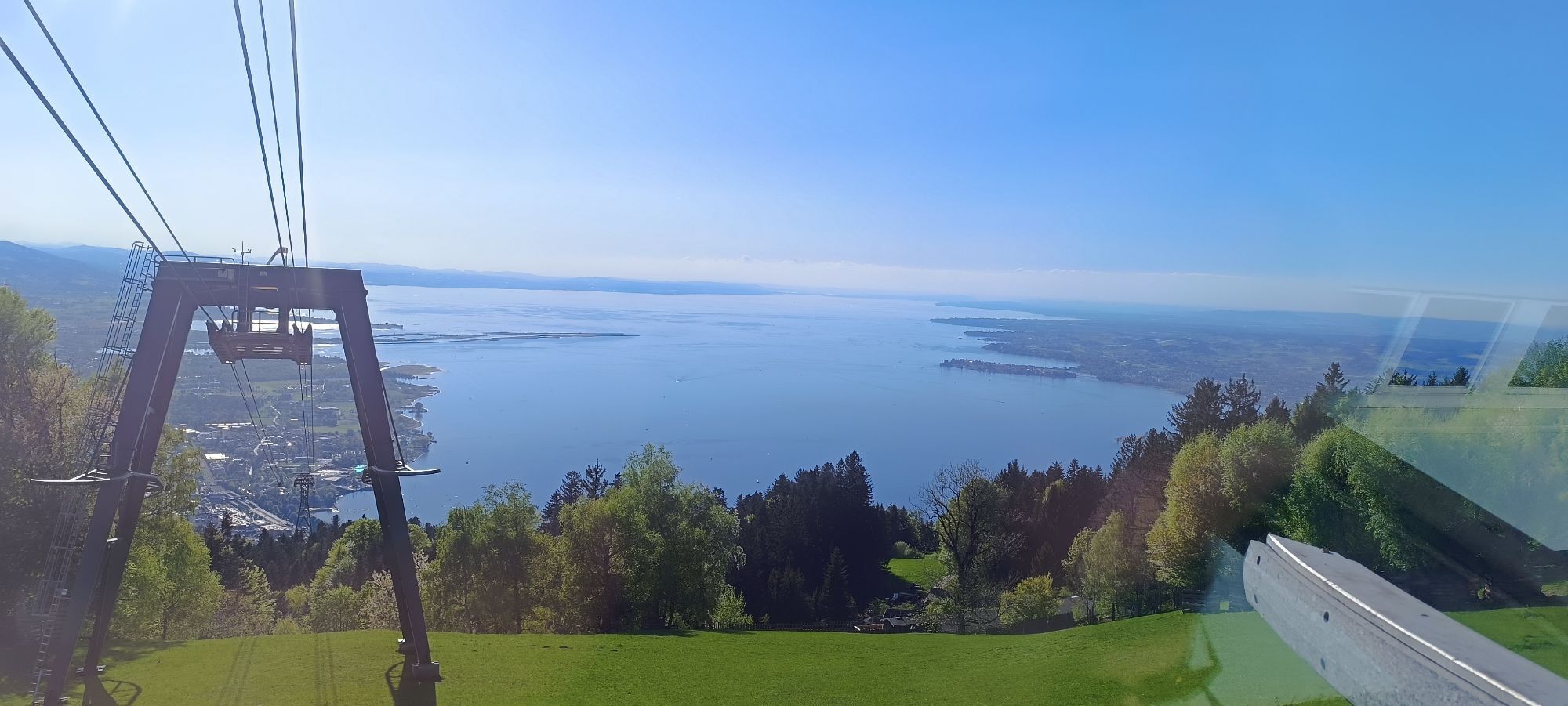
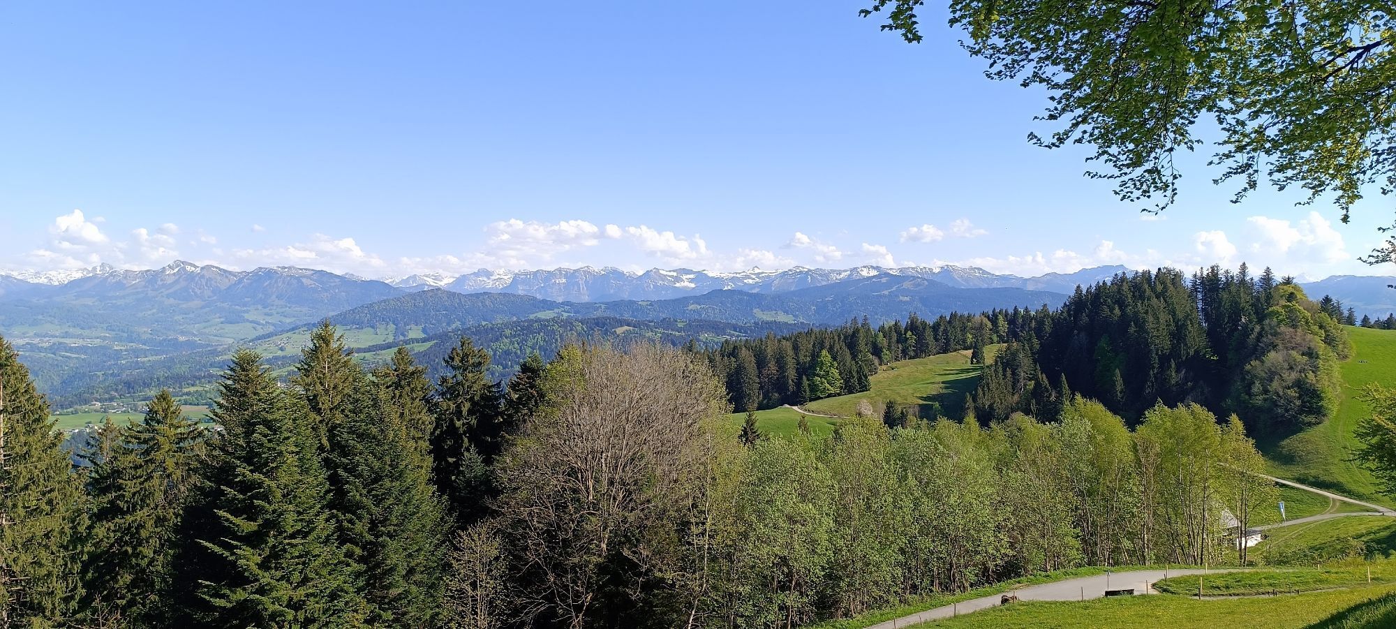
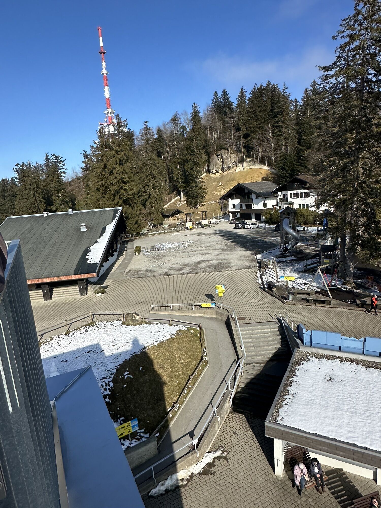
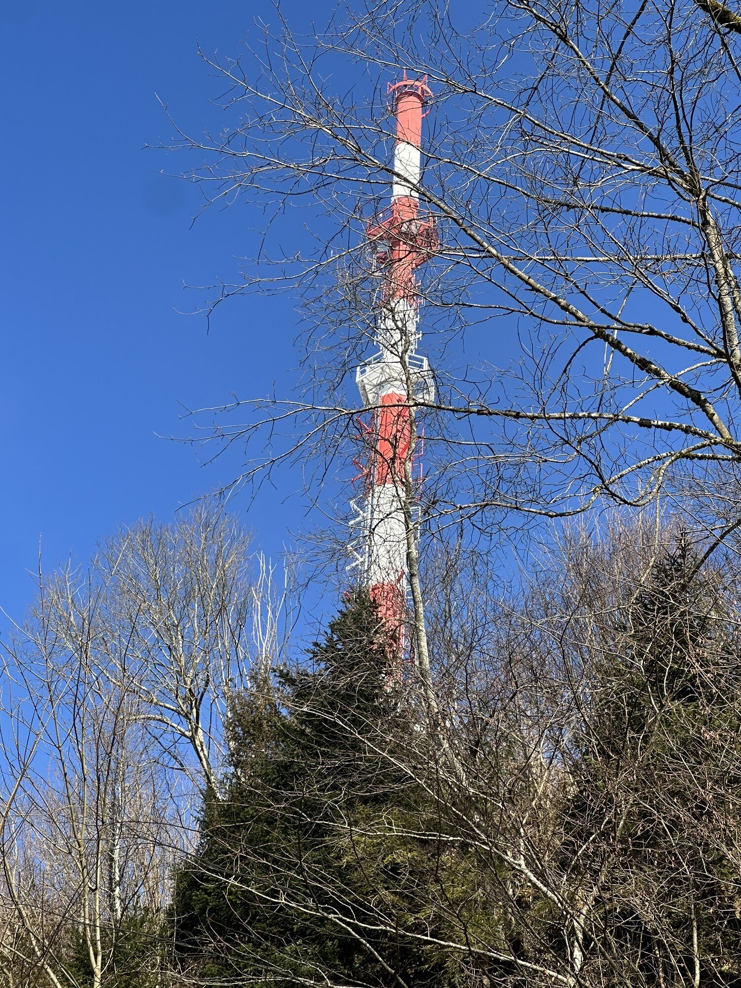
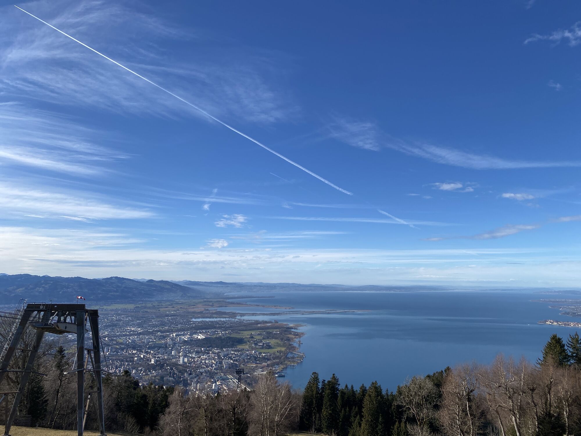
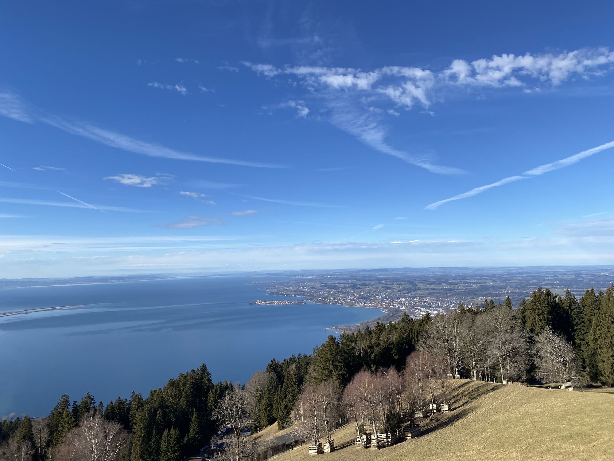
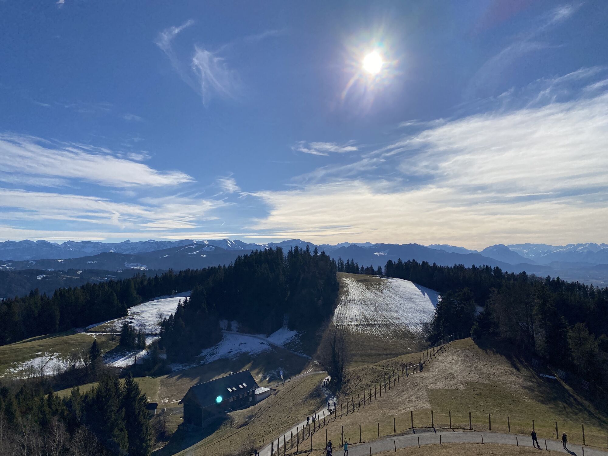
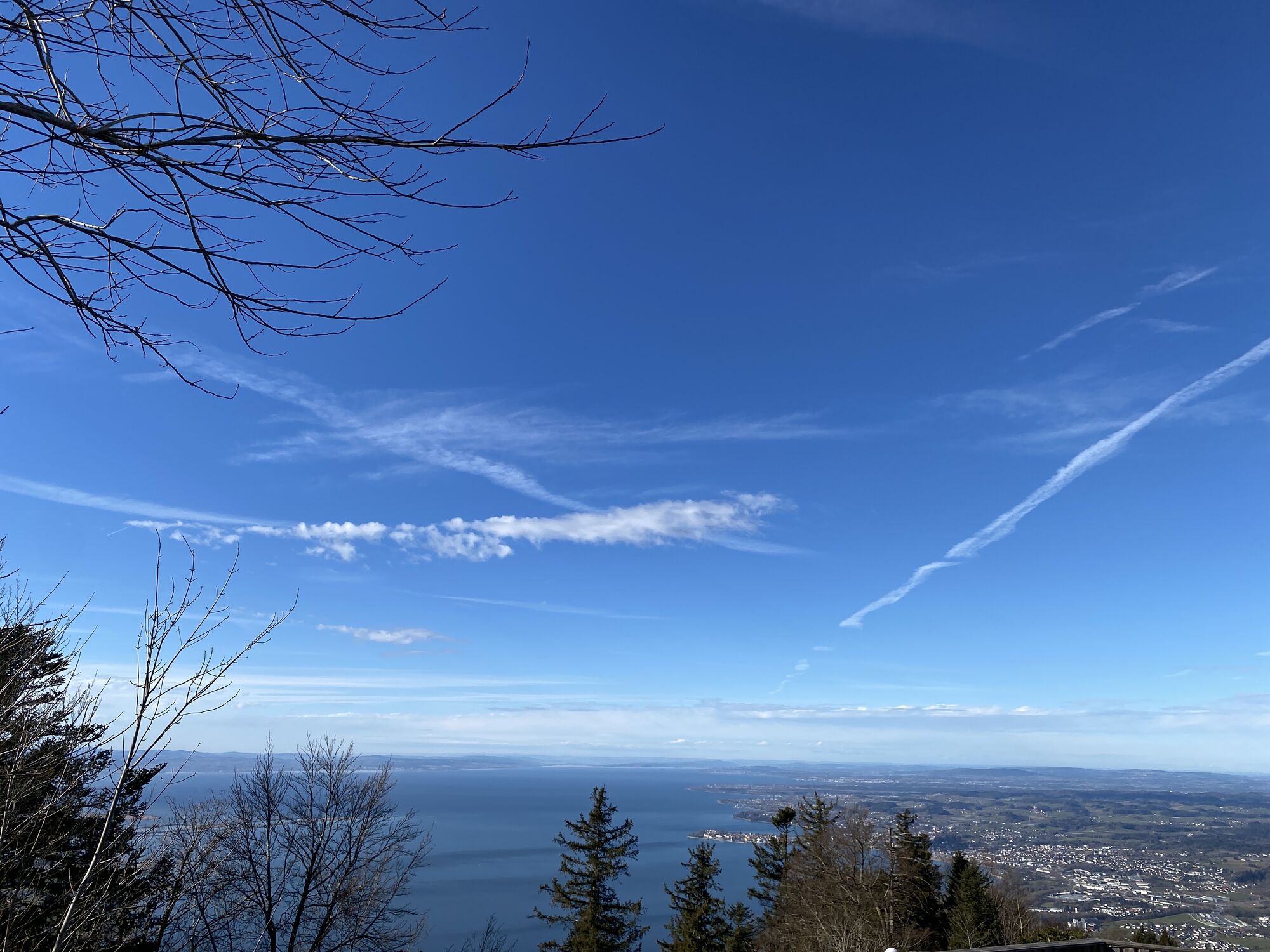
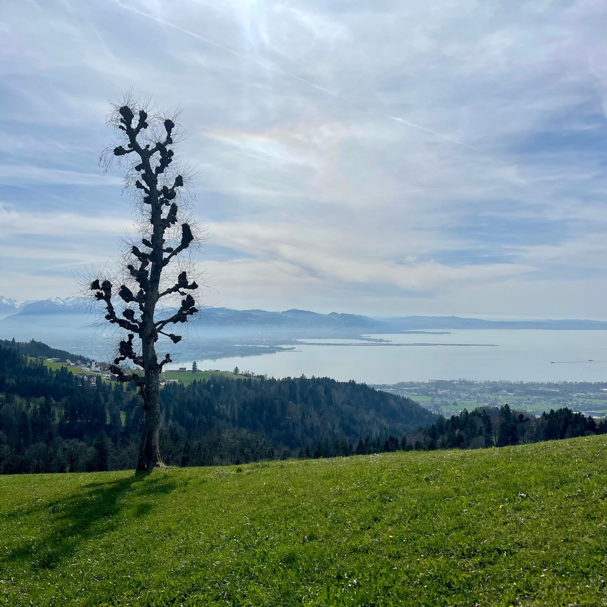
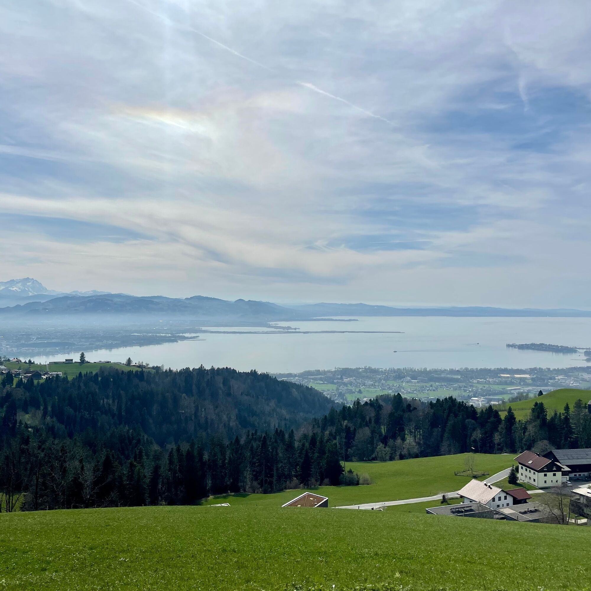
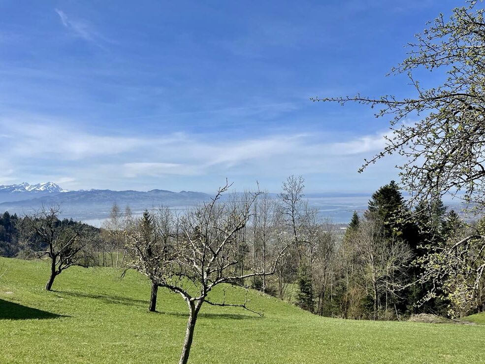
On the way back, there are immediately lots of elevation meters uphill, which are no problem with the help of an e-motor. Traffic-free, we first ride towards Gebhardsberg and continue uphill into the district of Fluh. Once again, it’s time to pedal and gain elevation until finally the mountain station of the Pfänderbahn comes into view. The long climb is repeatedly rewarded by fantastic panoramic views of the Swiss mountains, over Lake Constance, towards Vorarlberg peaks as well as the peaks of the Nagelfluh chain.
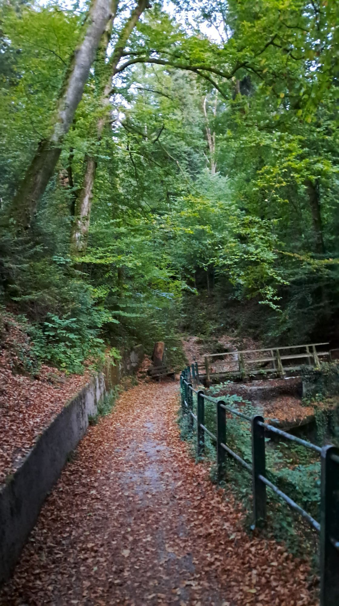
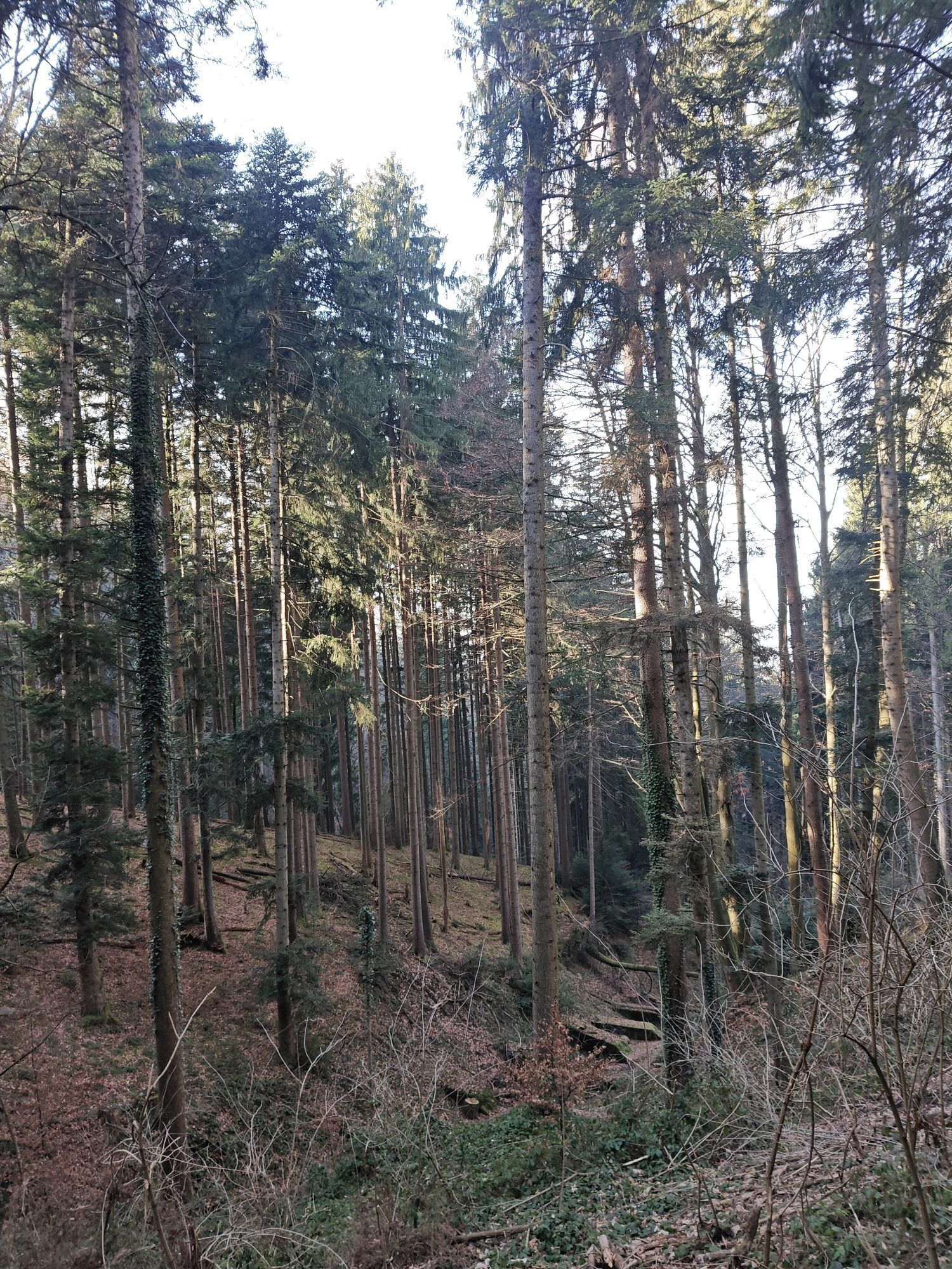
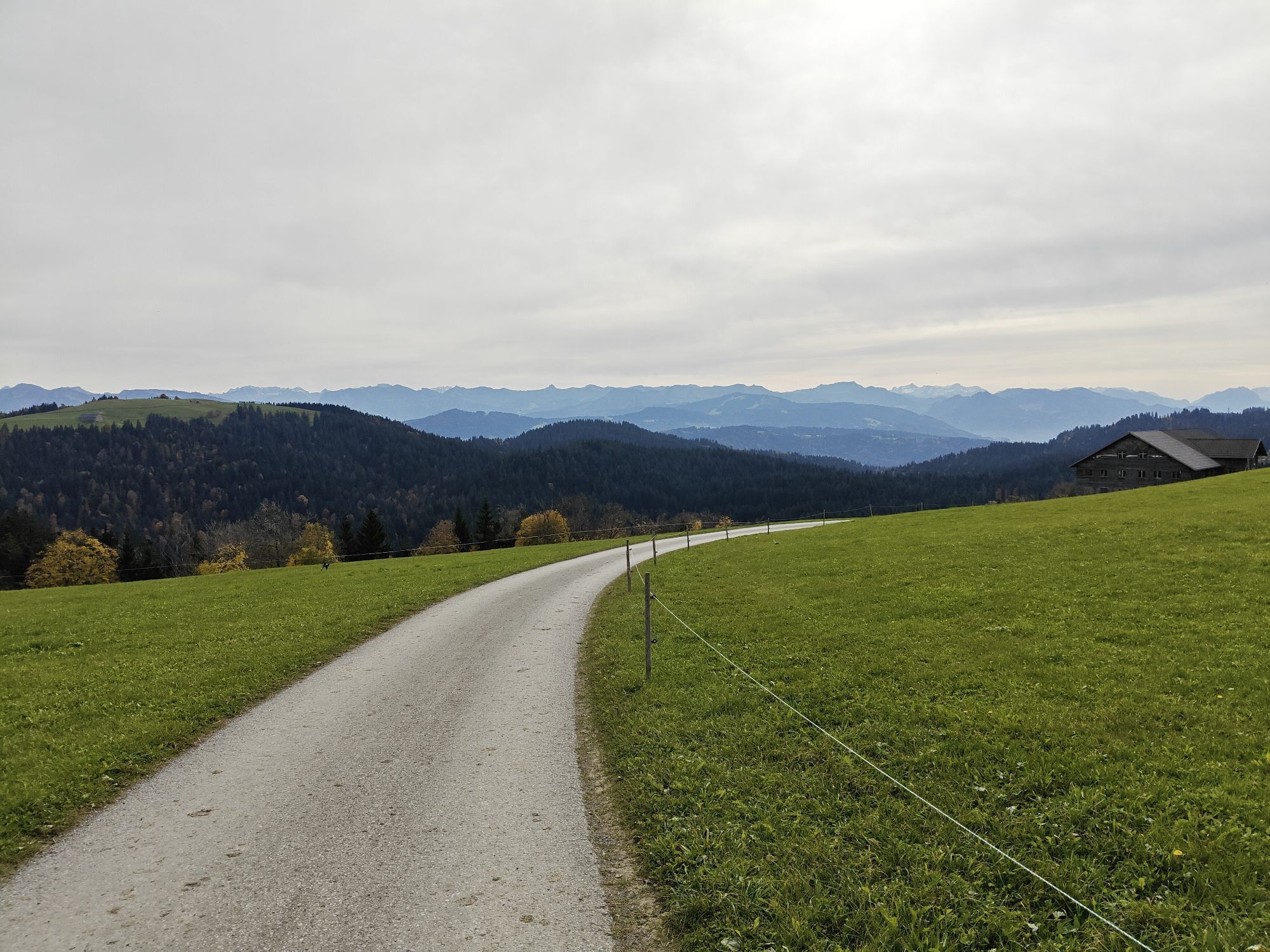
Then it continues on side roads and picturesque forest paths to Möggers-Weienried. Those who want can use the parallel path to the road through the forest to Scheidegg. At the edge of town, briefly onto the cycle path and further on a nice section to Böserscheidegg and then downhill to Weiler. Here there is the choice, either back to Oberstaufen on the same - shorter - route. Those who still have energy or battery in reserve additionally take on the continuation on the former railway embankment to Oberhäuser. From there, further to Röthenbach. Up a meadow and forest path to Schönau and further to Harbatshofen. Via Oberthalhofen, Zell and Buflings back to Oberstaufen.

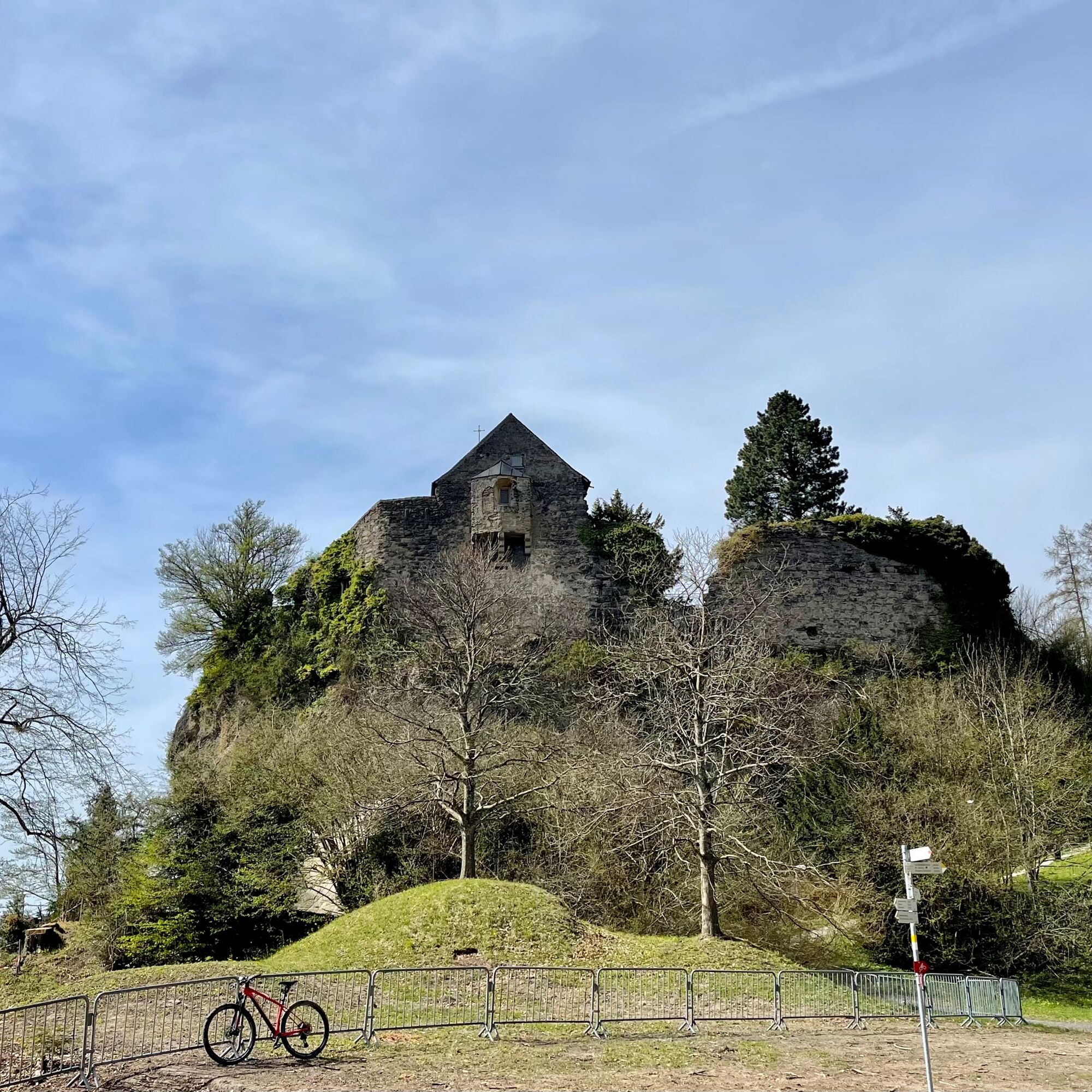
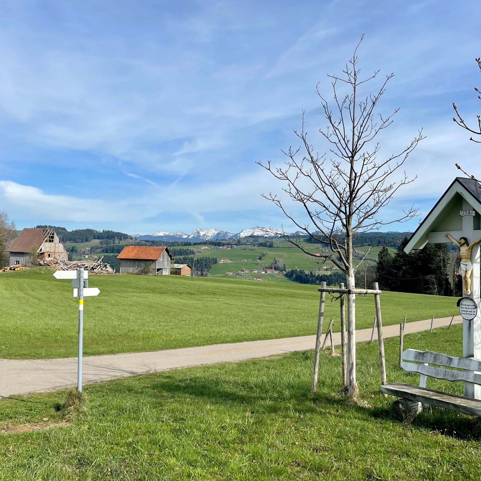

Oberstaufen - Genhofen - Ranzenried - Simmerberg - Weiler - Bremenried - Kurkliniken Hochberg - Hotel Edita/Kurhaus - Forest passage - Trögen - Eichenberg - Lochau - Bregenz - Fluh - Pfänder - Möggers-Weienried - Scheidegg - Böserscheidegg - Weiler - Oberhäuser - Röthenbach - Schönau - Harbatshofen - Oberthalhofen - Zell - Buflings - Oberstaufen
S1
On S1 trails, you have to roll over small obstacles like flat roots, small stones and water channels. The gradient is a maximum of 40%. Basic riding skills such as dosed braking and body shifting are necessary.
Note: The route is not signposted; GPX data is available for navigation.
To ride this route, a sufficiently large battery is necessary or also recharging during a break. Fit riders without motor support will need a correspondingly longer riding time for the route.
Webové kamery z prohlídky
Pfänderbahn
Oberstaufen
Skilifte Sinswang
Oberstaufen - Biohotel Schratt
Oberstaufen - Biohotel Schratt
Oberstaufen
Alpe Hohenschwand
Oberstaufen - Rosenalp
Bregenz Hafen
Hündlebahn Bergstation
Oberstaufen
Pfänderbahn Bergstation
Hörbranz - Rupp
Webcam Park-Camping Lindau
Lindenberg
YC Hard Nord
YC Hard Süd
YC Hard Ost
Pfänder
Získejte přehled Vždy živě na místě s více než 9 500 webkamerami. bergfex Jako uživatel Pro si nyní můžete zobrazit odpovídající webové kamery pro mnoho prohlídek v aplikaci prohlídky z. Můžete si tak přímo prohlédnout aktuální podmínky. Oblíbené prohlídky v okolí
- 4.6
Staufenrunde, Dornbirn
středníTuristika 7.29 km - 4.6
Hochälpele 1464m, Bödele
světloTuristika 9.87 km - 4.3
Bregenz, Austria - Pfänder
světloTuristika 8.57 km - 4.6
Gschliefweg - Pfändergipfel
středníTuristika 7.11 km - 5.0
Karrenbahn (Talstation) - Karren - Schluchtsee - Rappenloch (Klamm)
středníTuristika 8.03 km - 4.2
Sonntagsrunde
středníTuristika 7 km - 4.6
Rappenloch & Alplochschlucht Tour
středníTuristika 9.63 km - 4.4
Vom Karren zum Staufen über Wurzelweg Dornbirn, Österreich
středníTuristika 8.02 km - 4.9
Spirkenhochmoor, Breitenberg Hohenems, Vorarlberg
světloTuristika 2.56 km - 4.5
Känzele Klettersteig
heavyTuristika 2.73 km
Pěší turistika a stopování


Nenechte si ujít nabídky a inspiraci pro vaši příští dovolenou
Vaše e-mailová adresa byl přidán do poštovního seznamu.





