


FS100 Egloffstein-Wichsenstein
From the Egloffstein outdoor pool, this Fränki Swiss 100 stage immediately leads onto the comfortable path in the Brunnleiten Valley, where traditionally the water power of the Trubach — today used for...
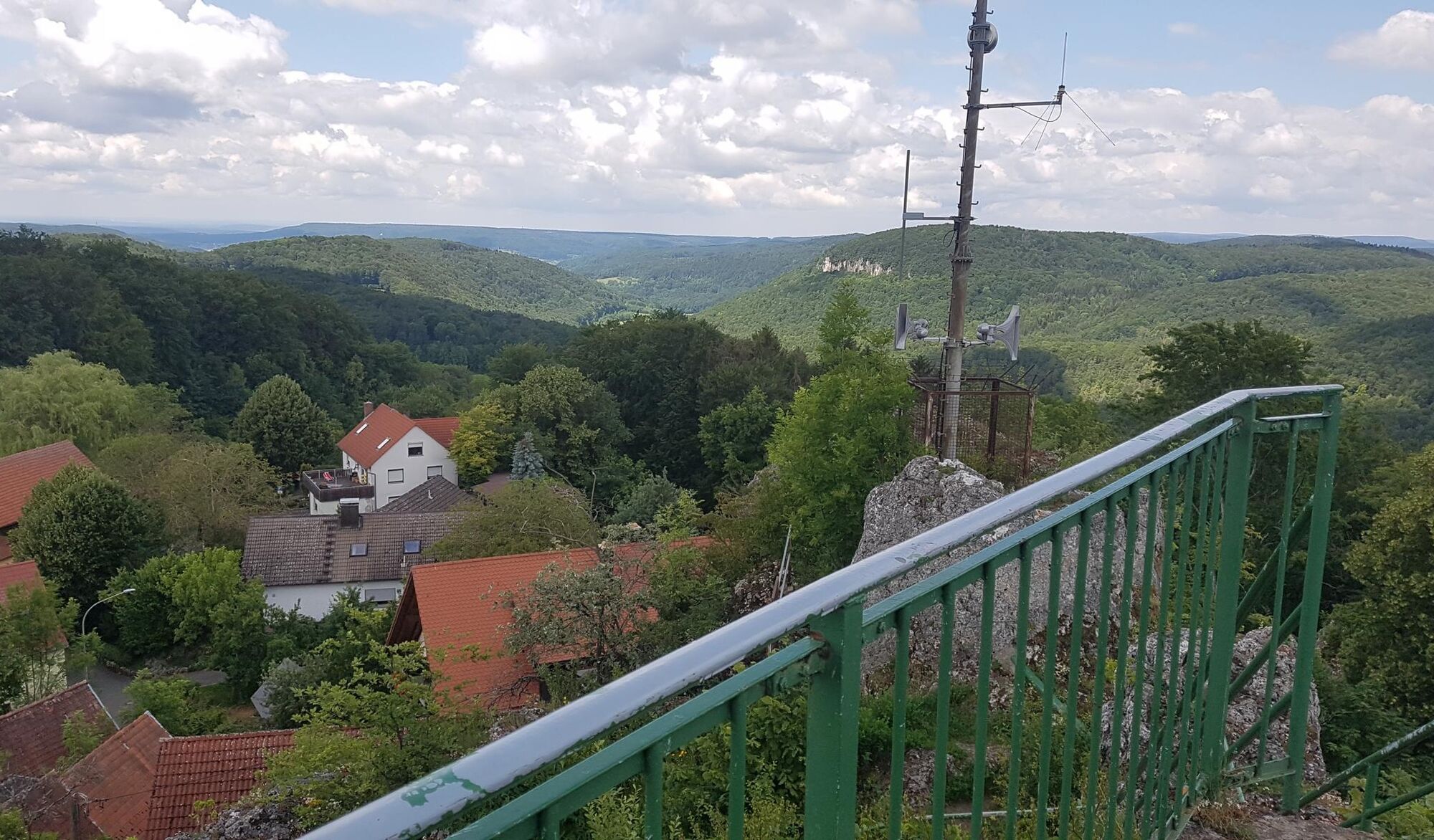
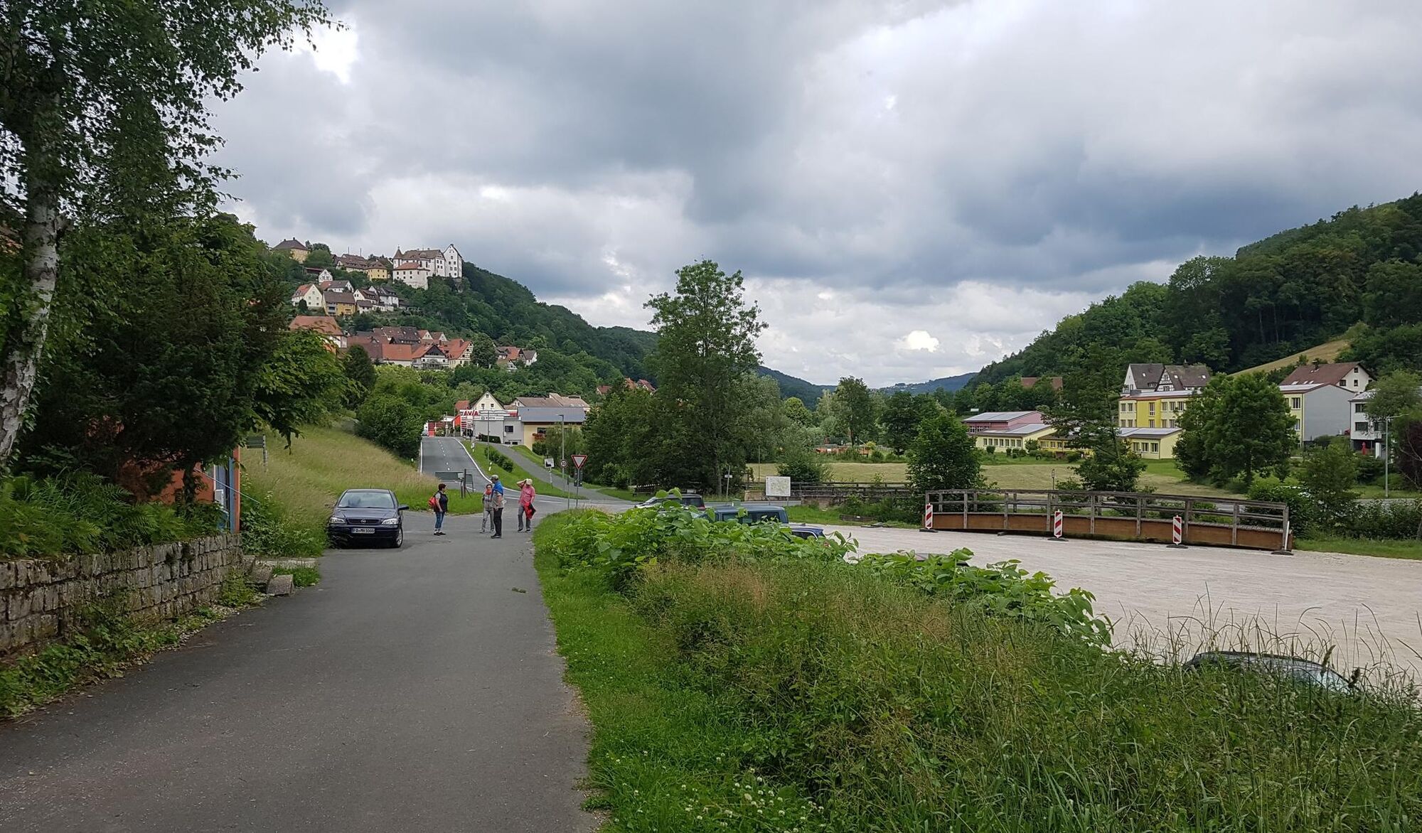
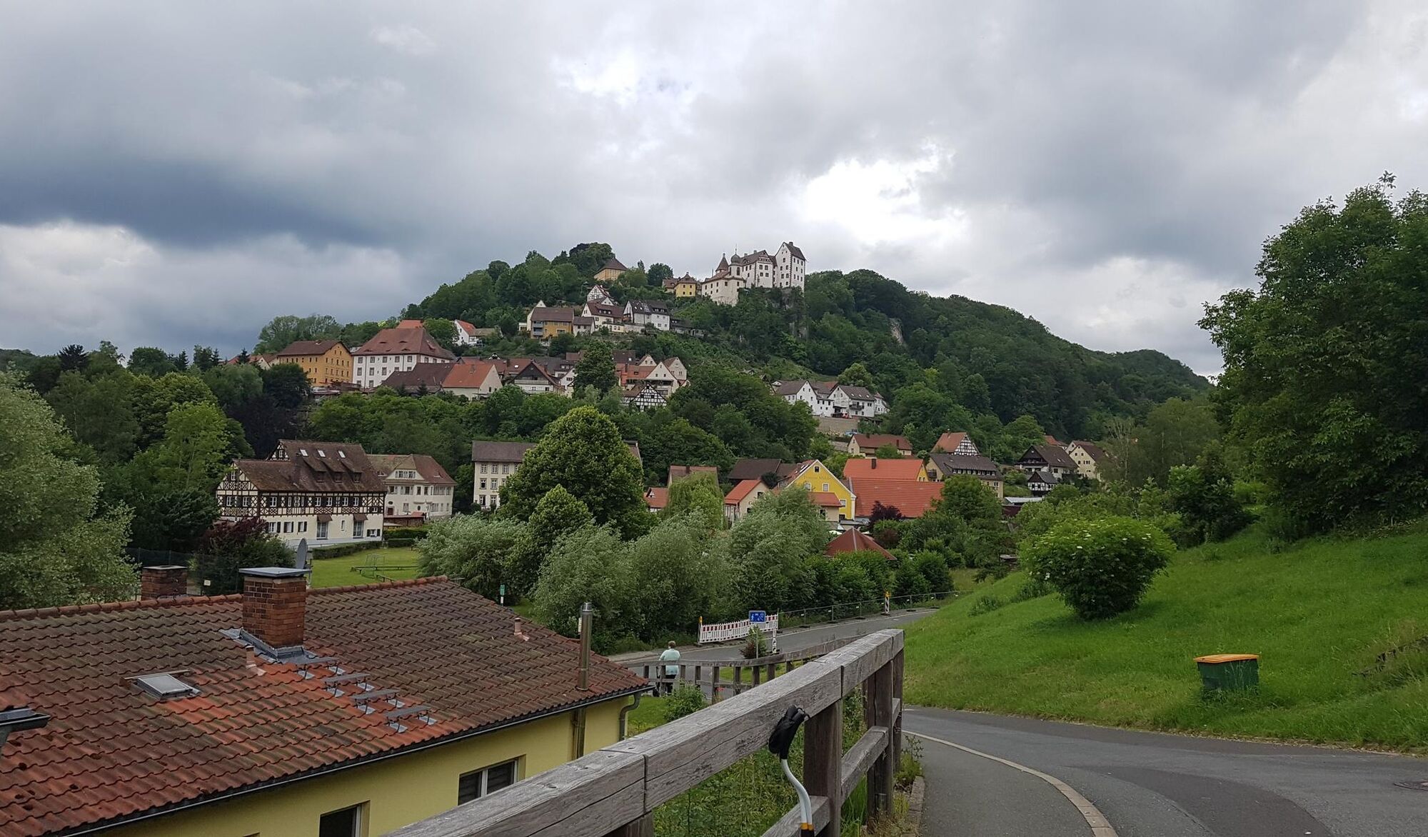
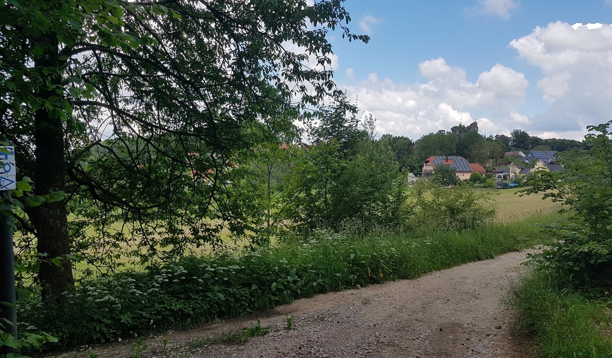
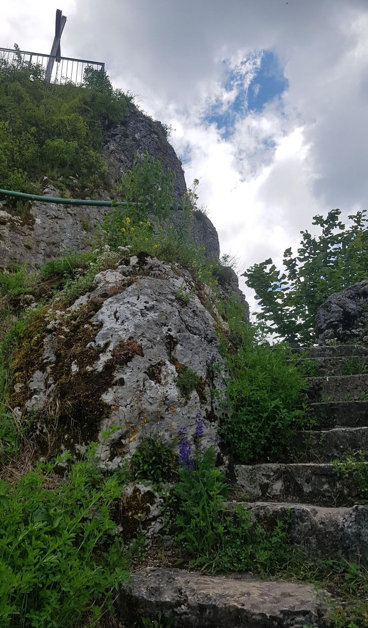
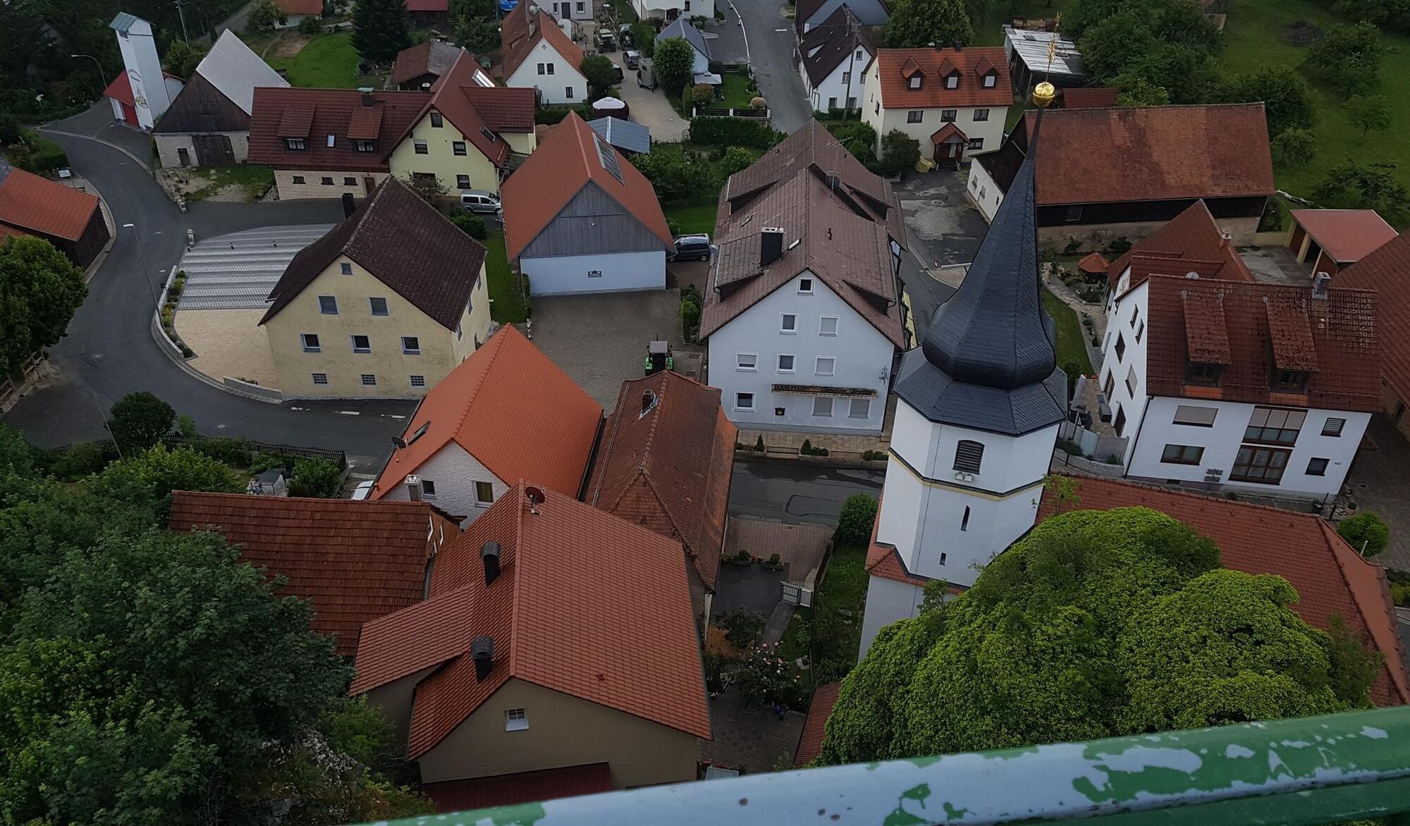
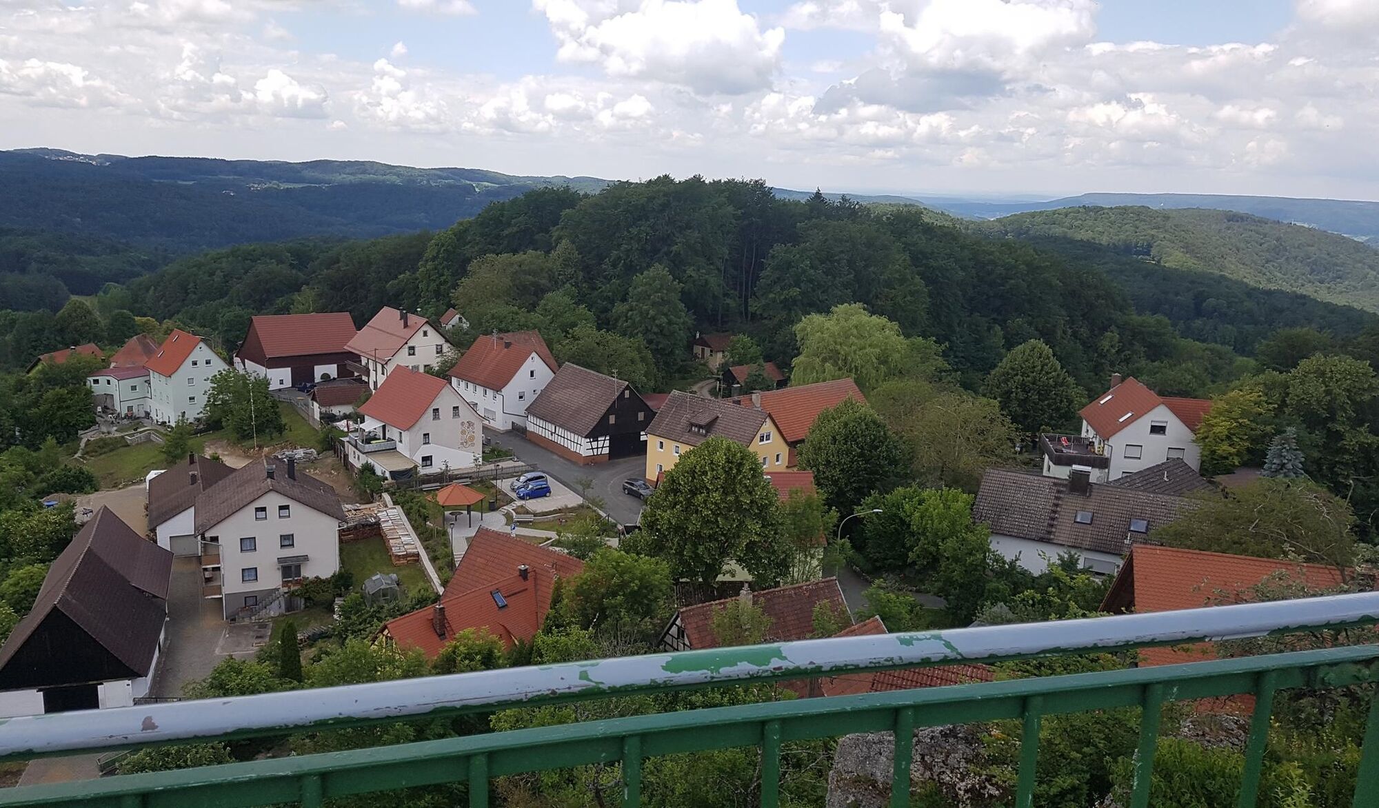
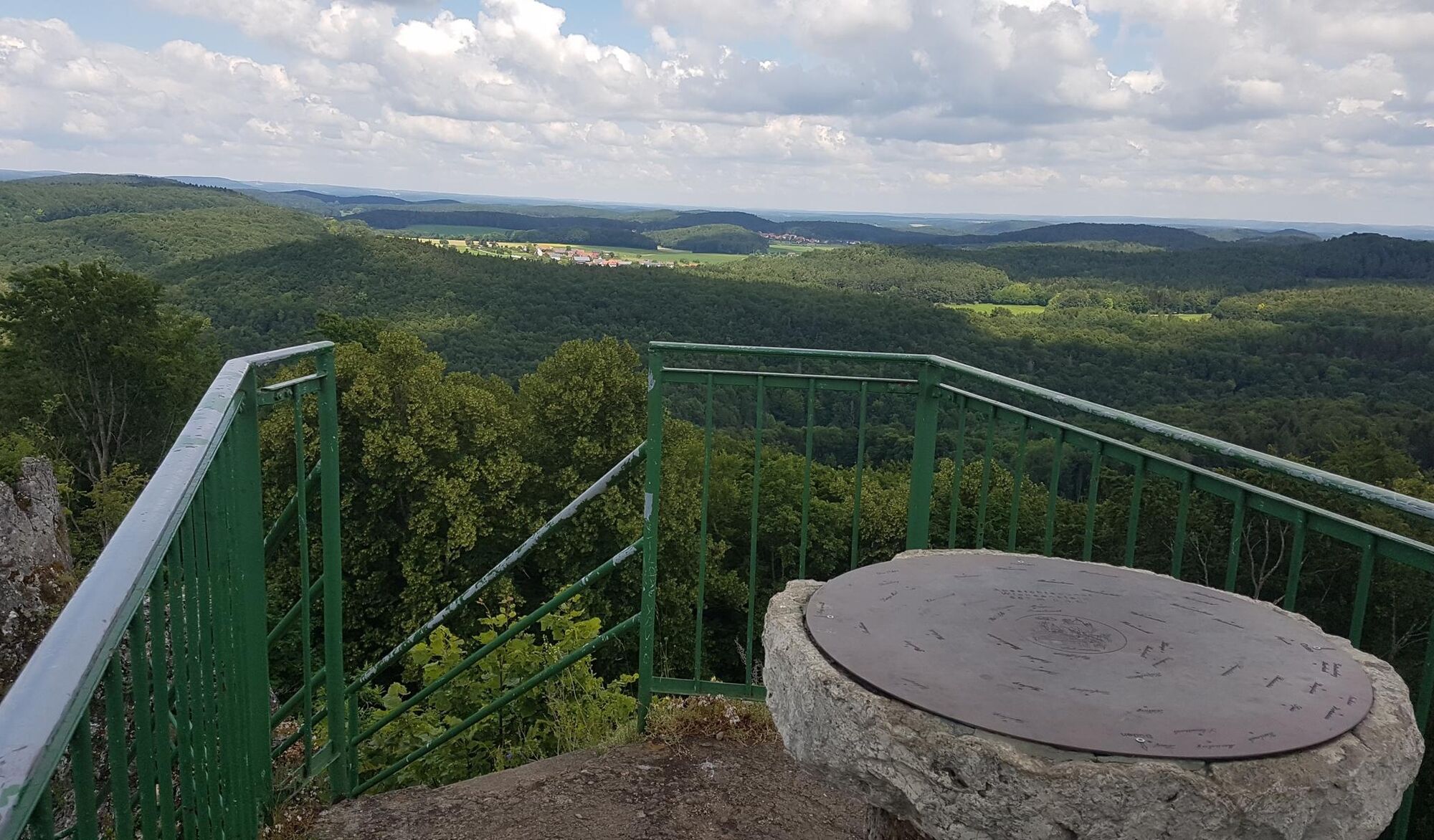
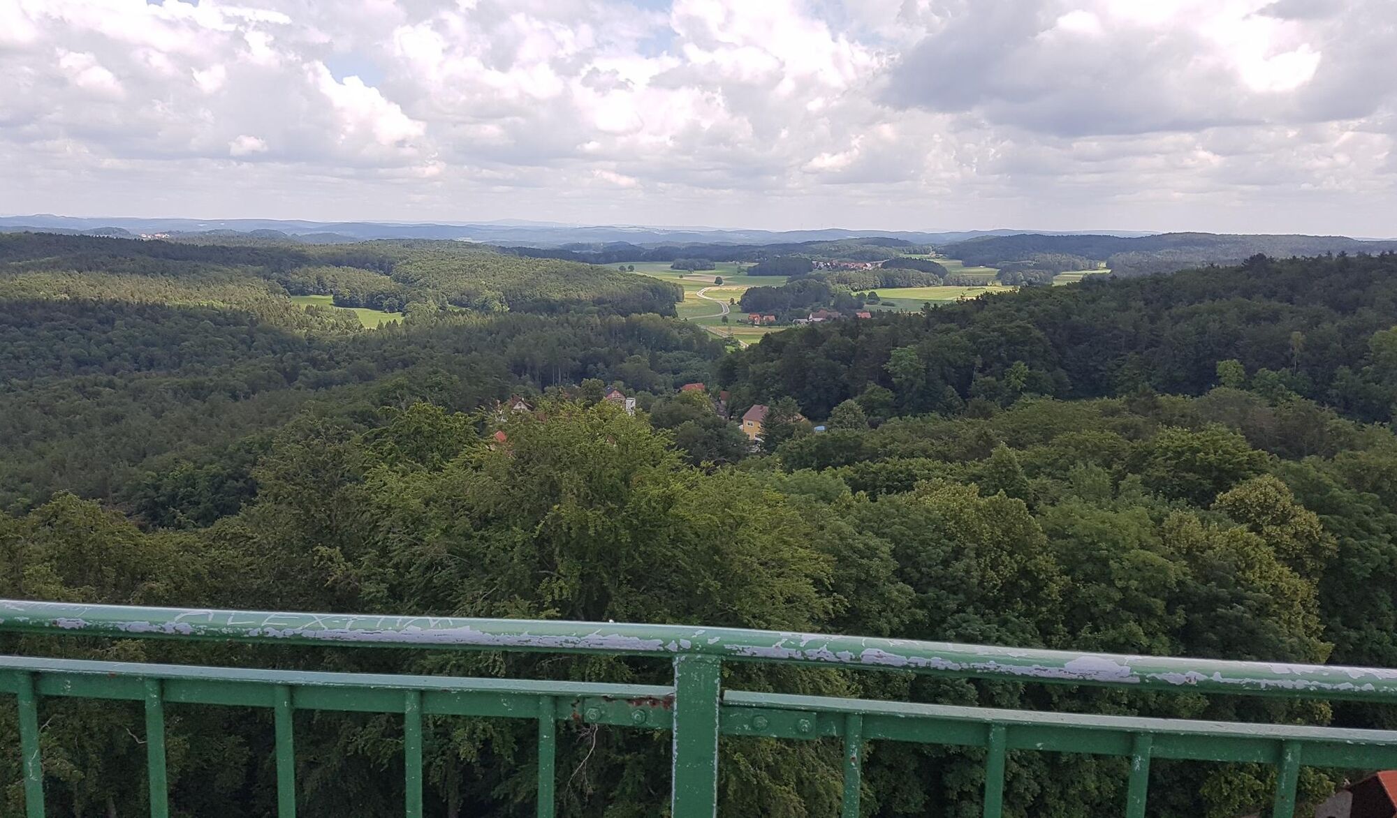
From the Egloffstein outdoor pool, this Fränki Swiss 100 stage immediately leads onto the comfortable path in the Brunnleiten Valley, where traditionally the water power of the Trubach — today used for electricity generation — is harnessed with an overshot waterwheel. In the wide valley it continues relaxed to Mostviel, here briefly on the main road before leaving the valley and climbing again to the heights of the Franconian Jura. A long 7up climb begins, with over 200 meters of elevation to be conquered in total. The first goal is the small village of Schlehenmühle, which consists almost only of gastronomic and tourist accommodations. On the little road uphill, the hiking path soon branches left into the forest after leaving the village — and the ascent to Wichsenstein continues. At the rocks of the "Dicker Berg" the height is reached, and the path leads out of the forest onto a lovely plateau with fields and meadows with fruit trees and in the background the rock with a viewing platform, around which Wichsenstein nestles.

Ano
Ano
Shoe soles with good grip, poles helpful.
Round route through Egloffstein via Paradiesweg, over to the castle and on forest paths with viewpoints to the rock gate and back, absolutely recommended.
Oblíbené prohlídky v okolí
-
4.7
Ahorntal Burg Rabenstein
středníTuristika 11.2 km -
3.7
Weißenohe - Sinterterassen - Lillachquelle
světloTuristika 6.45 km -
2.7
Rumdwanderung Obertrubach - Signalstein
středníTuristika 8.99 km -
2.0
Ronde Gössweinstein
světloTuristika 15.2 km -
Pottenstein - Hollenberg
světloTuristika 14.5 km -
3.0
Tüchersfeld - Rabenstein
středníTuristika 18.0 km -
4.8
Muggendorf, Oswaldhöhle, Hohler Berg, Riesenburg, König-Ludwig-Felsen, sehr schöne fränkische Rundtour
středníTuristika 14.5 km -
5.0
Eibgrat Rundwanderweg
středníTuristika 8 km -
5.0
Tour durch Ailsbachtal von Oberailsfeld
světloTuristika 8.96 km -
4.5
Ebermannsstadt Bayern. Zu den Aussichtspunkten Burgruine Neideck + Zuckerhut.
světloTuristika 13.6 km
Pěší turistika a stopování


Nenechte si ujít nabídky a inspiraci pro vaši příští dovolenou
Vaše e-mailová adresa byl přidán do poštovního seznamu.