



FS100 Pottenstein-Betzenstein

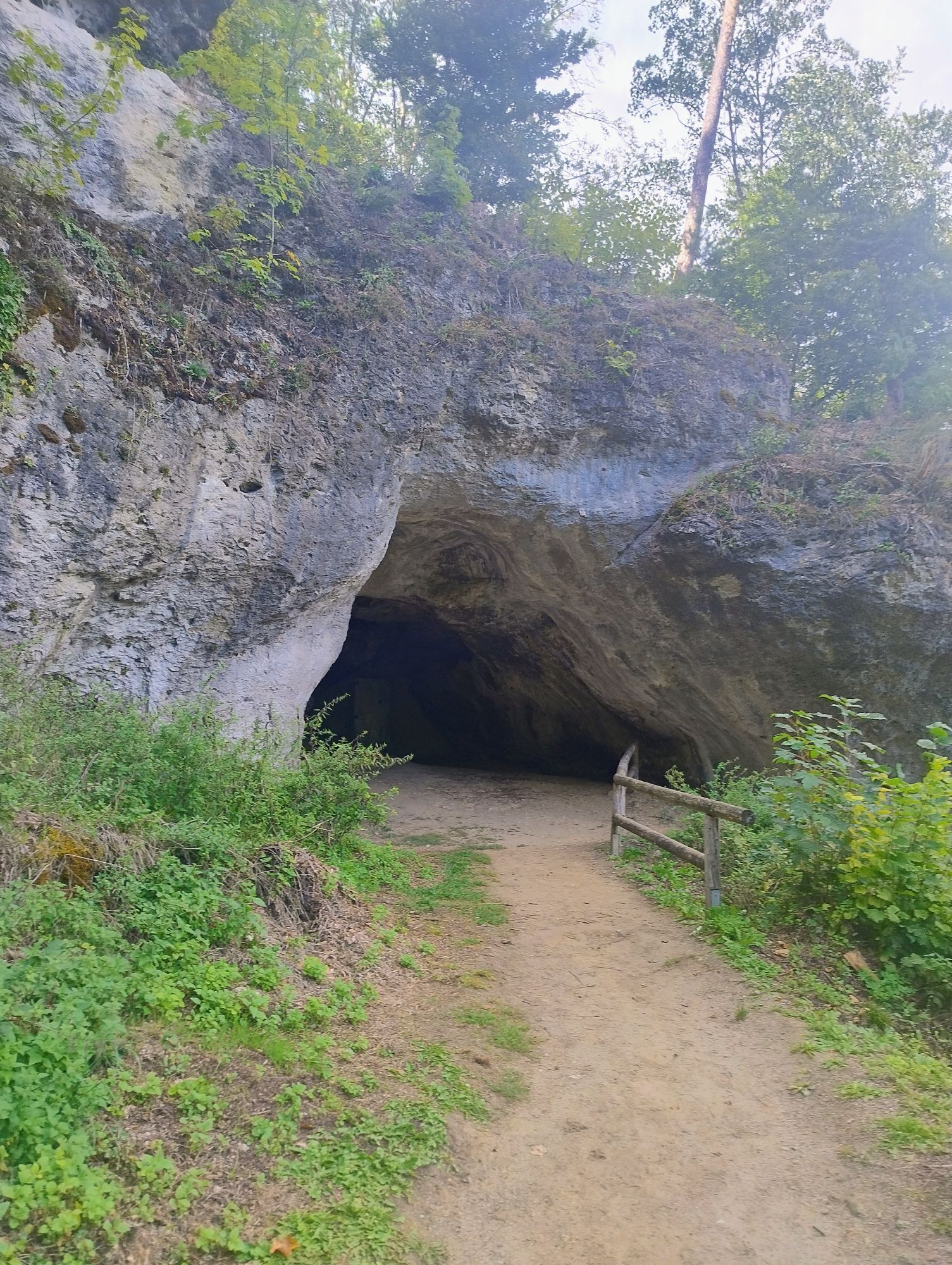
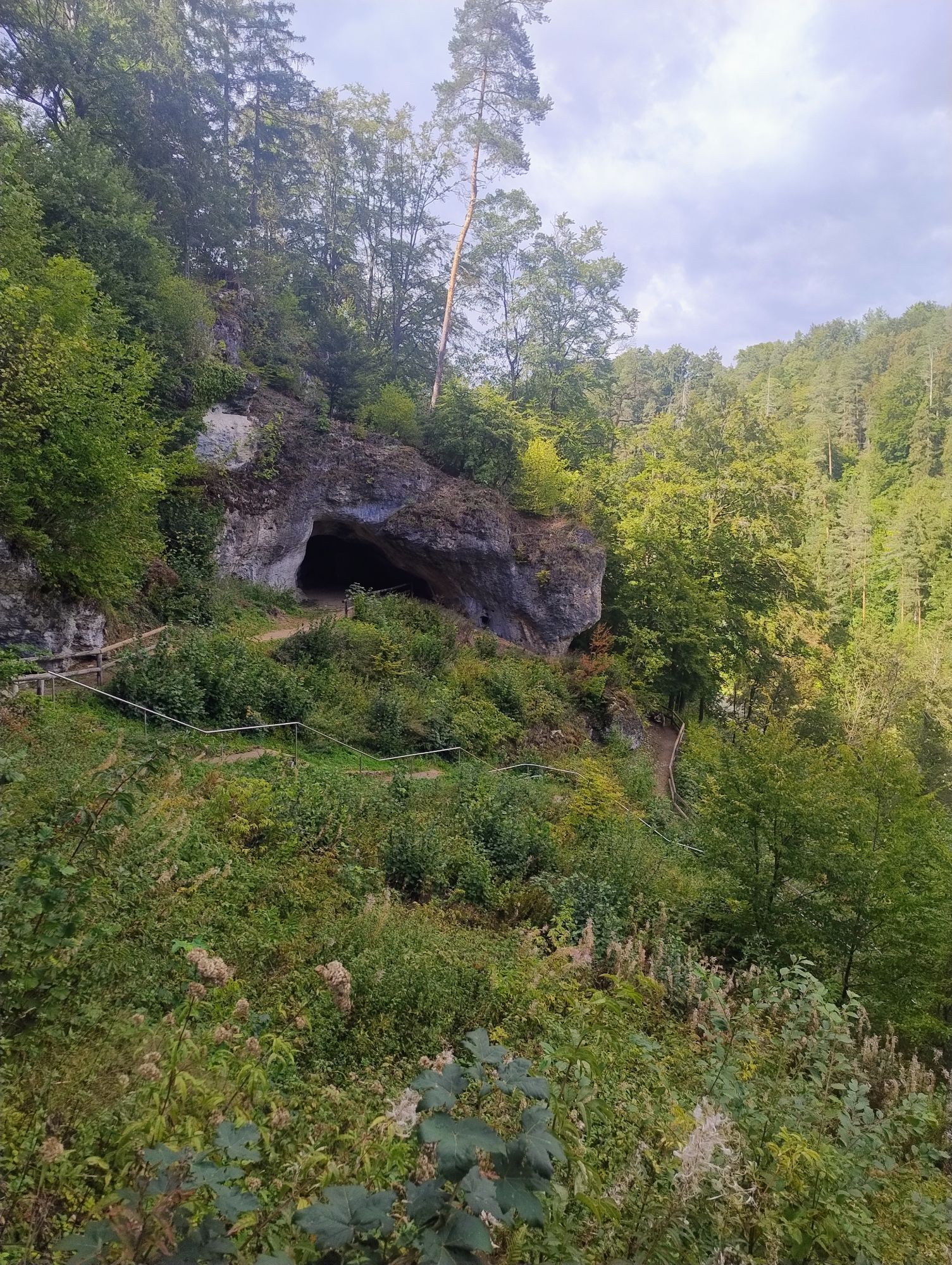
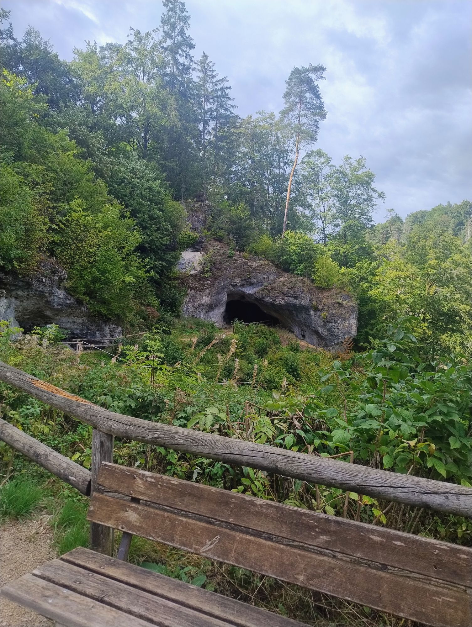
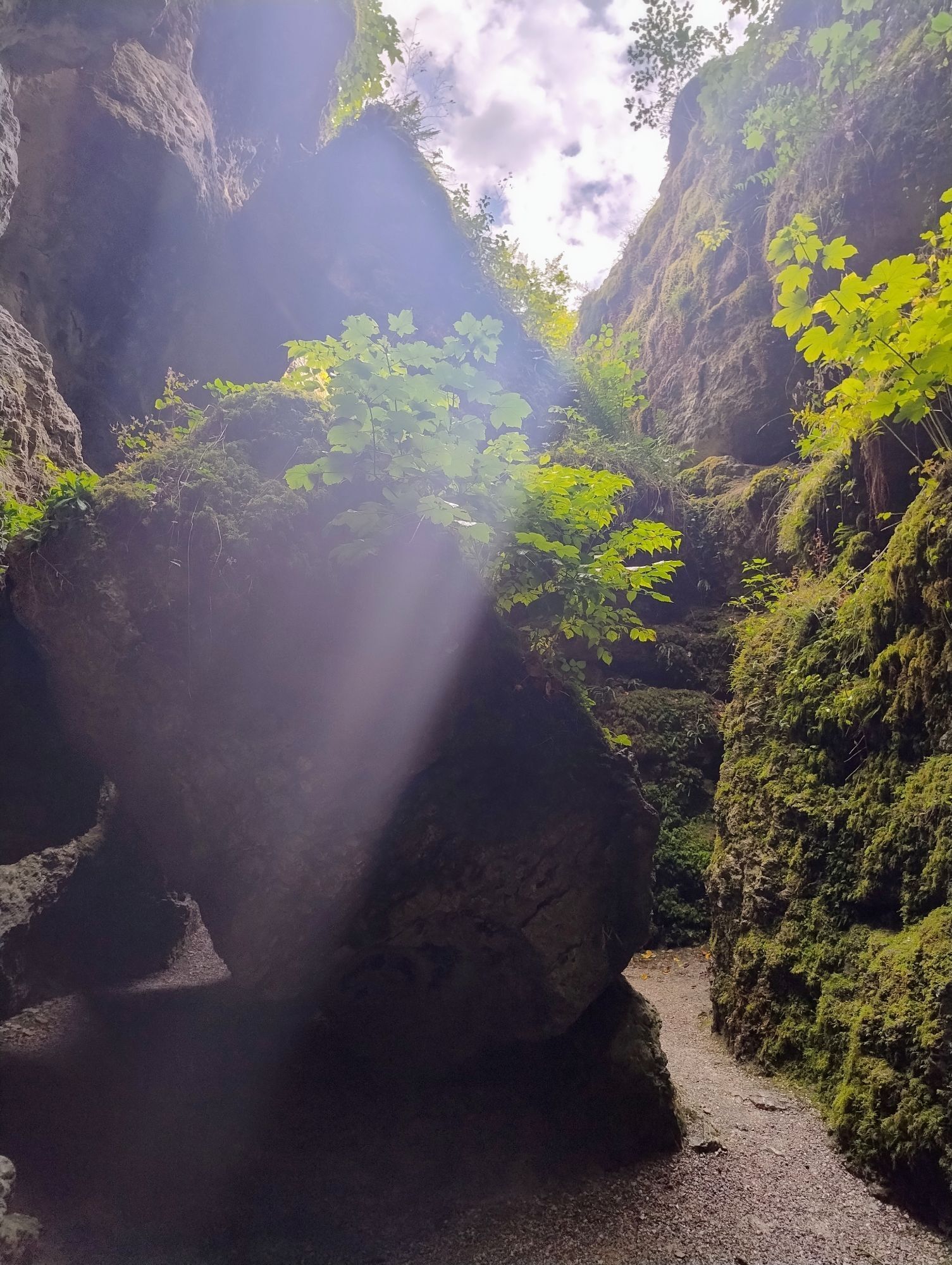
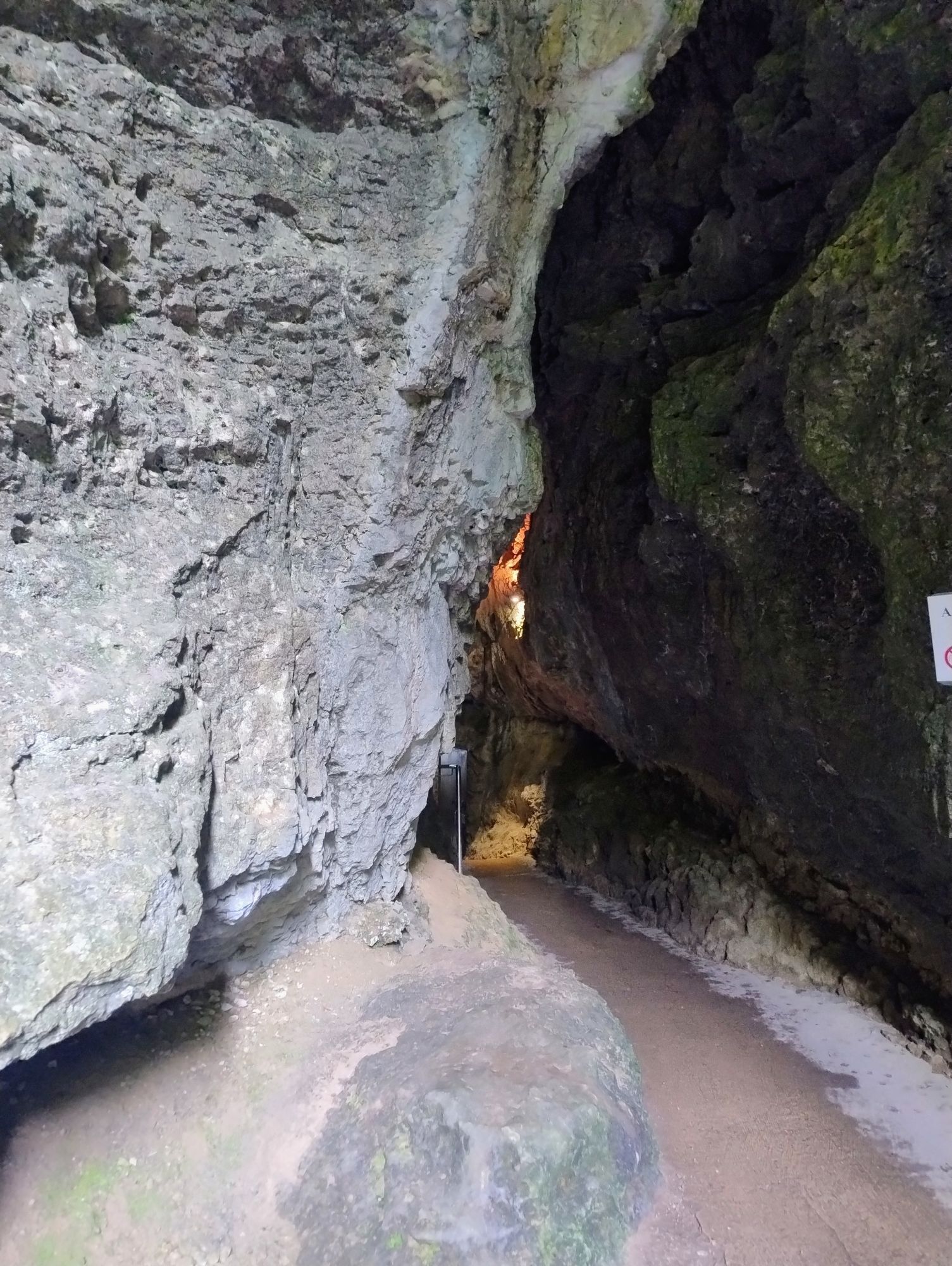
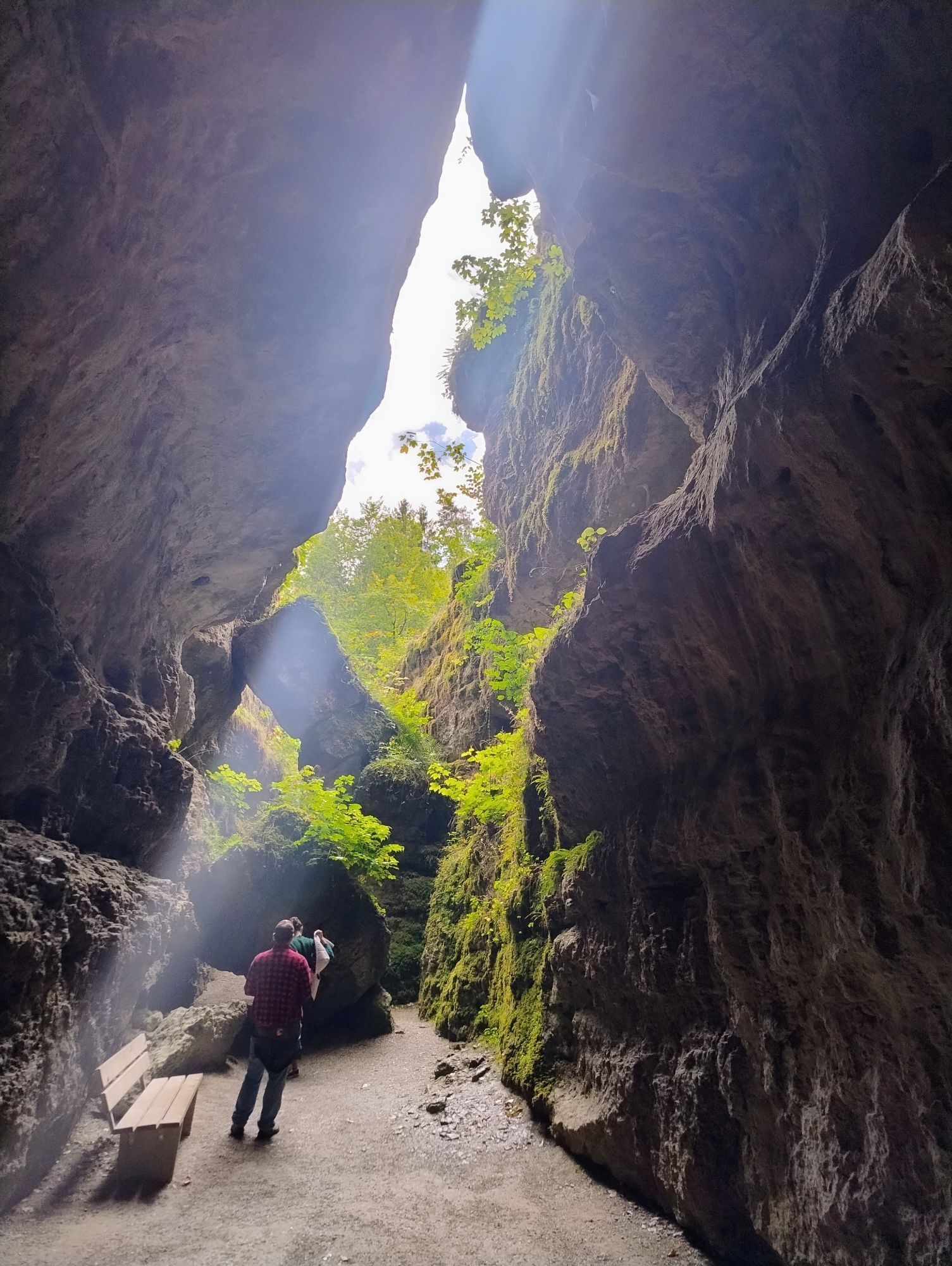
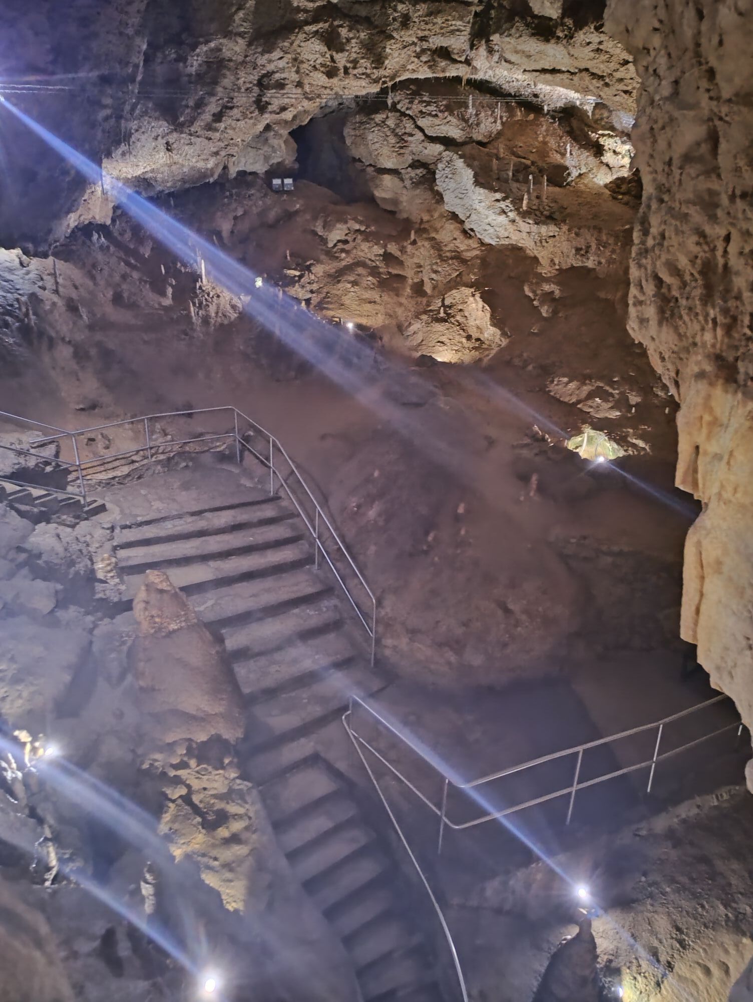
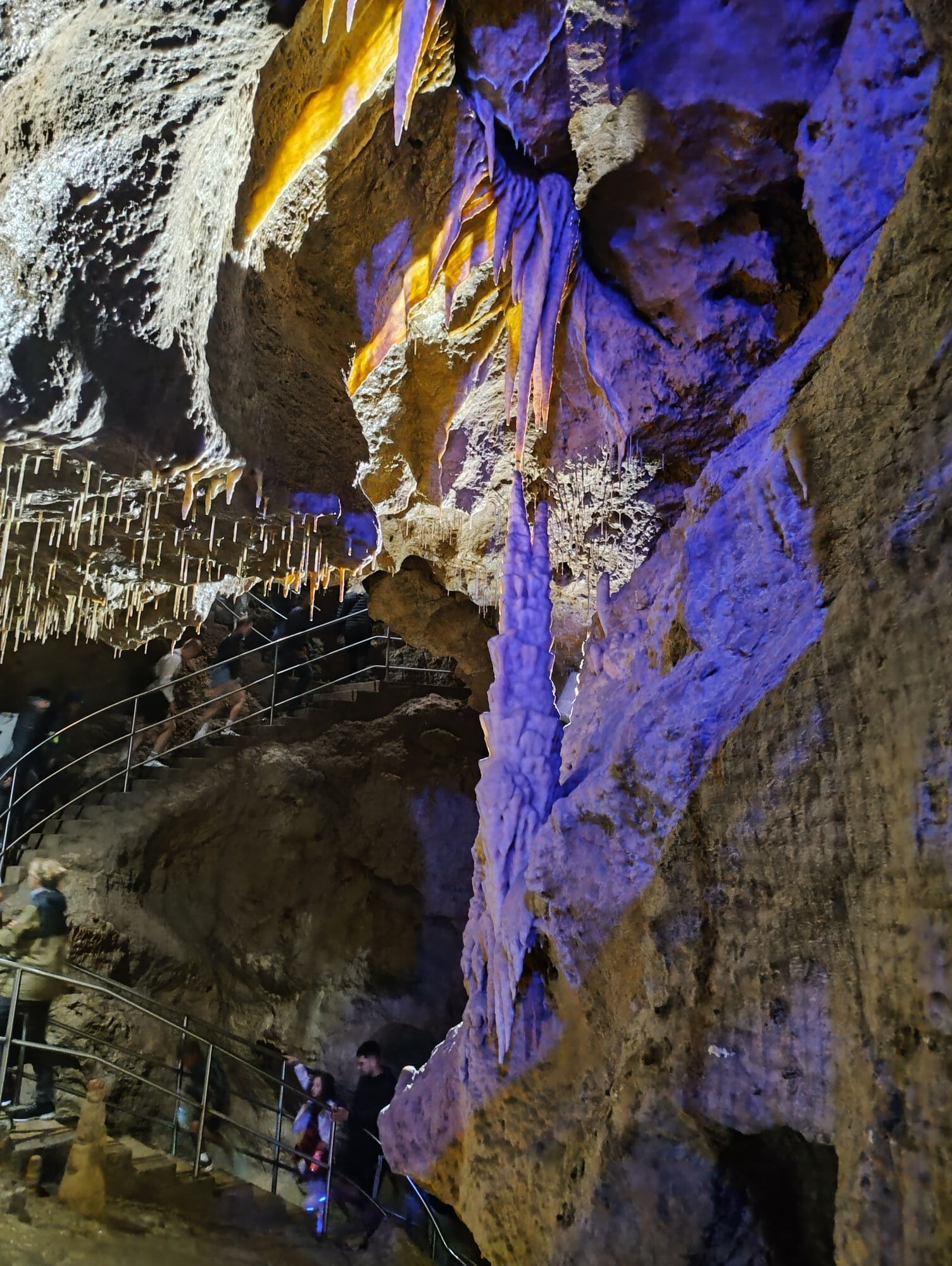
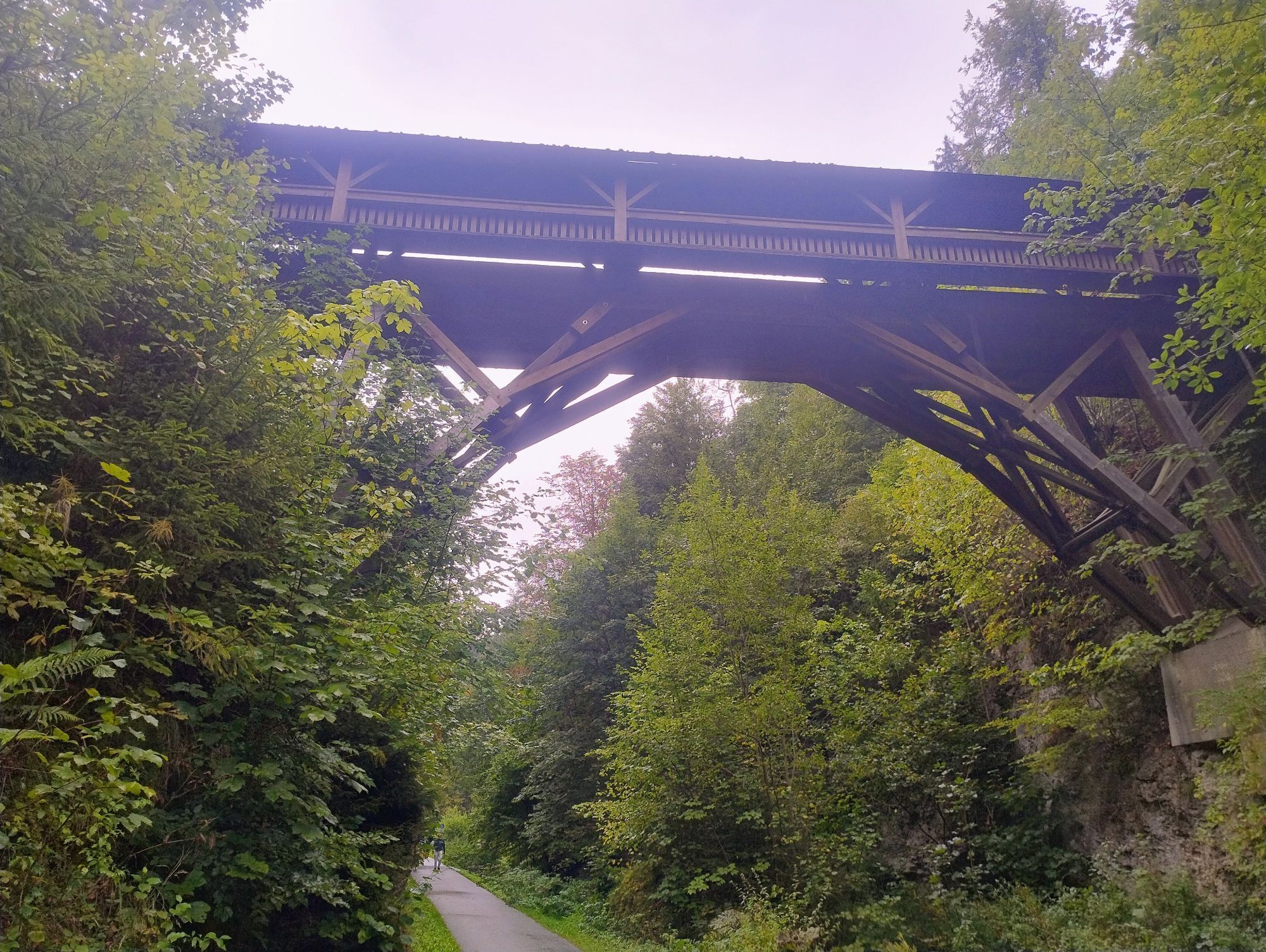
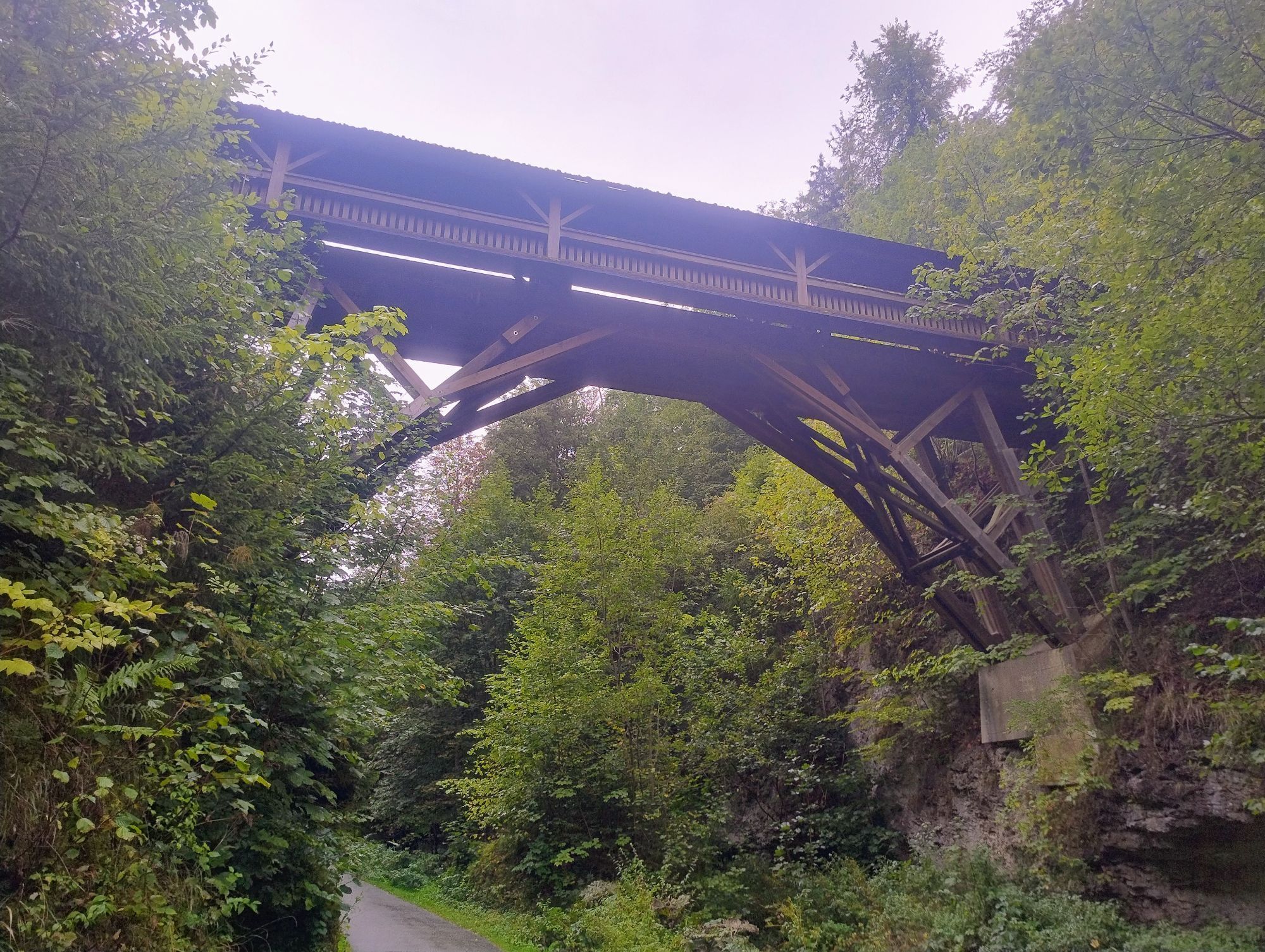
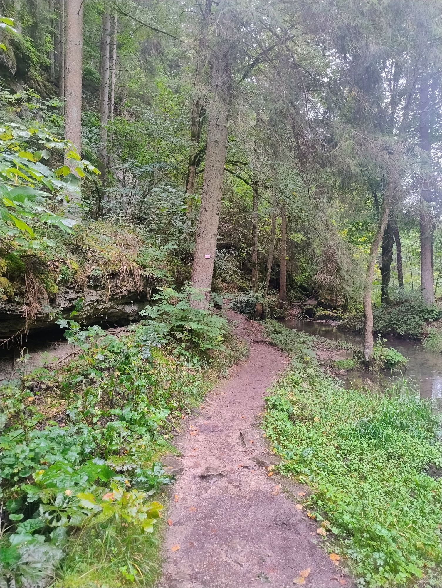


Below the Pottenstein adventure rock, this Fränki Swiss 100 stage runs along the historic Schöngrundsee to the Devil's Cave and on to the Schüttersmühle. Here the route turns from the busy Weihersbachtal into...
Below the Pottenstein adventure rock, this Fränki Swiss 100 stage runs along the historic Schöngrundsee to the Devil's Cave and on to the Schüttersmühle. Here the route turns from the busy Weihersbachtal into the quiet Klumpertal, reserved only for hikers and off-road-capable cyclists. At the middle mill, the route leaves the valley floor and continues as XL*7up on lonely forest paths on the Jura heights to and through Kirchenbirkig and further - without special distractions inviting to meditative forest*walking - to Graisch, from where the ascent to the settlement and castle ruins of Leienfels is climbed on the small road. The route then meanders through extensive forest areas in the border region (districts FO/BT and the Fraisch border) to Leupoldstein. From here further east over open terrain to the hamlet of Krottenhof and the worth seeing Hexentor, before approaching the small town of Betzenstein from the west - with baroque town parish church and castle (hotel).



Ano
Shoe soles with good tread, poles helpful.
Longer stretches without any catering options.
In addition to many highlights in/around Pottenstein, the small detour to the Leienfels ruin on the plateau of a climbing rock is rewarded with a beautiful view.

Oblíbené prohlídky v okolí
-
4.7
Ahorntal Burg Rabenstein
středníTuristika 11.2 km -
4.7
Muggendorf, Oswaldhöhle, Hohler Berg, Riesenburg, König-Ludwig-Felsen, sehr schöne fränkische Rundtour
středníTuristika 14.5 km -
4.7
Höhlenwanderung Muggendorf
středníTuristika 9.80 km -
2.7
Rumdwanderung Obertrubach - Signalstein
středníTuristika 8.99 km -
5.0
Pottenstein - Hollenberg
světloTuristika 14.5 km -
5.0
Eibgrat Rundwanderweg
středníTuristika 8 km -
2.0
Ronde Gössweinstein
světloTuristika 15.2 km -
3.0
Tüchersfeld - Rabenstein
středníTuristika 18.0 km -
3.0
Wanderung Ruine Bärnfels
světloTuristika 5.44 km -
5.0
Gößweinstein, Bayern
světloTuristika 13.5 km
Pěší turistika a stopování


Nenechte si ujít nabídky a inspiraci pro vaši příští dovolenou
Vaše e-mailová adresa byl přidán do poštovního seznamu.


