







Kesslerhöhe
Úroveň obtížnosti: 3

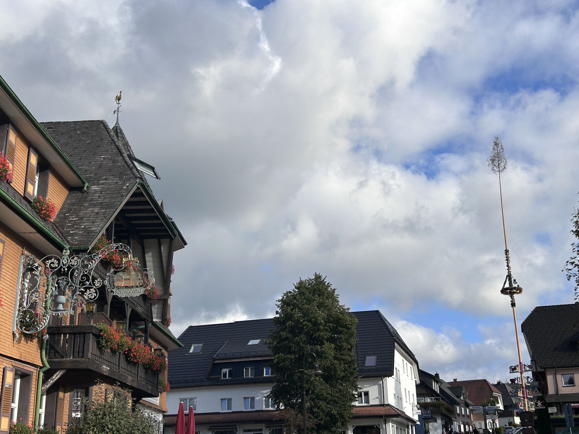

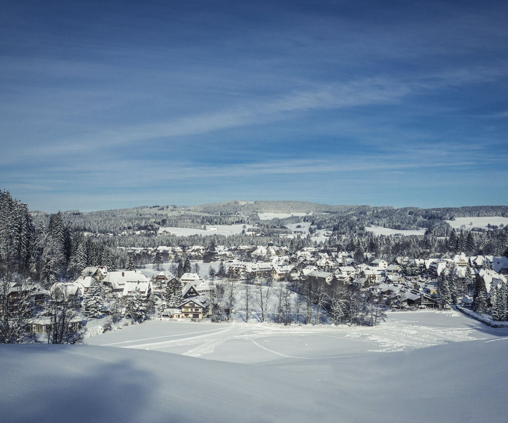
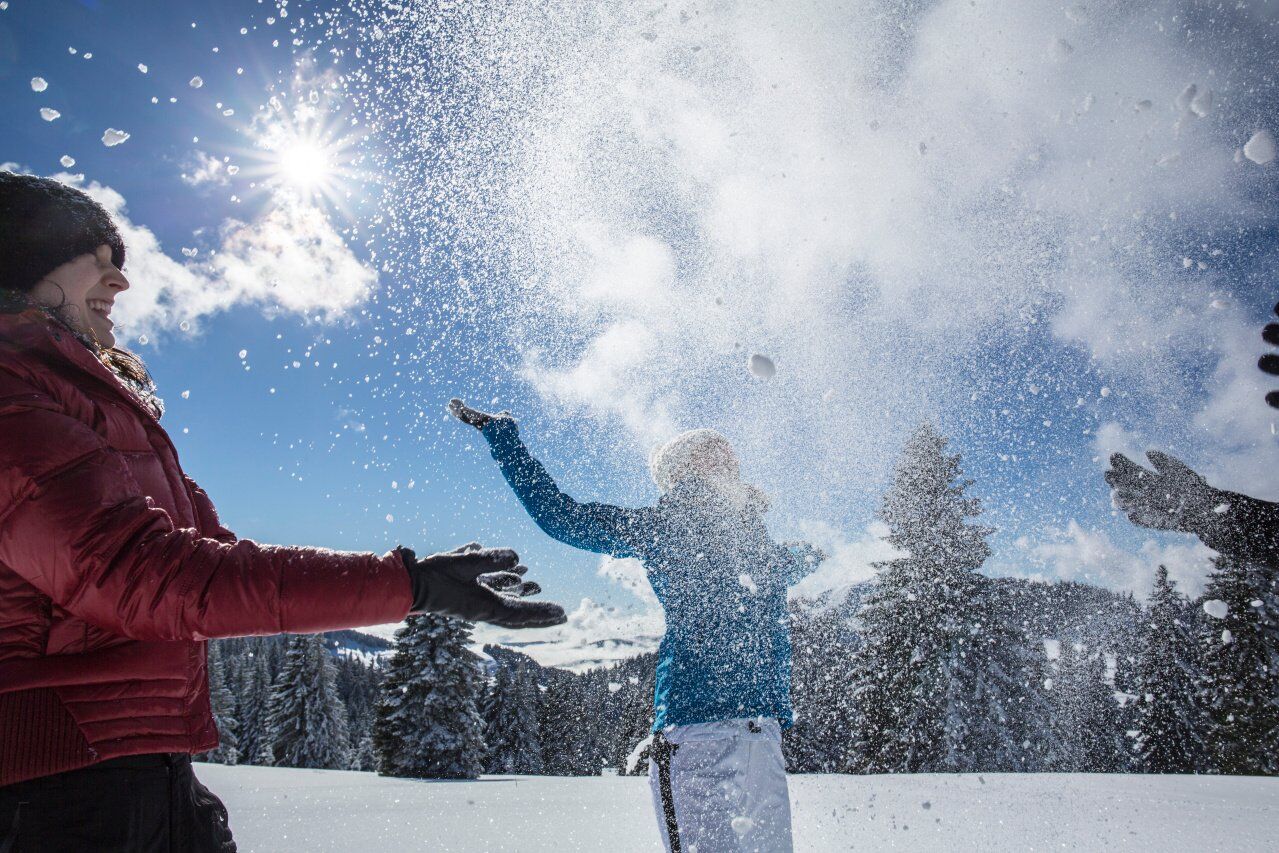

The start of your tour (trail marker no. 1) is at the Kurhaus directly in the centre of the village. At the beginning, the route takes you past the church uphill to the Erlenbruck. From here you can enjoy a first view of the farms in Oberzarten and the Feldberg massif. The path continues in the direction of Bankenhansenhof to Bankenhansenhöhe, where a stone wayside cross invites you to linger. Descending via the Mehlbergweg you reach the Winterhalde. A wonderful view of the 100 ha Hinterzartener Moor opens up to you. After a short section of the trail you will reach the Adler Ski Stadium. From there it is only a few meters to the starting point.
Ano
We recommend winter-proof equipment!
3
Premium Winter Hiking Trail
Premium winter hiking trails are particularly well-maintained and specially signposted winter hiking trails that were developed together with the German Sport University Cologne. The routes are selected in such a way that they are mostly very scenic and as comfortable as possible. The winter hiking trails are checked and cleared or rolled daily and are mostly circular hiking trails.
Webové kamery z prohlídky
-
Feldberg - Falkau
-
Altglashütten - Schwarzenbachlift
-
Titisee - Hotel Brugger
-
Hinterzarten - Ferienhaus Carola
-
Hinterzarten - Adlerschanze
-
Hinterzarten - Adler-Skistadion
-
Breitnau - Eckerhof
-
Titisee - Fewo Titiseeblick
-
Feldberg - Altglashütten
-
Dorf / Lenzkirch Saig Hochfirstweg
-
Alpen / Lenzkirch Saig Hochfirstweg
Získejte přehled
Vždy živě na místě s více než 9 500 webkamerami. bergfex Jako uživatel Pro si nyní můžete zobrazit odpovídající webové kamery pro mnoho prohlídek v aplikaci prohlídky z. Můžete si tak přímo prohlédnout aktuální podmínky.
Oblíbené prohlídky v okolí
-
4.7
Black Forest Highlands heritage trail - mills and saws in the gorge
středníTuristika 7.42 km -
3.8
Seerundweg Titisee
světloTuristika 5.84 km -
4.1
Höhenklimaweg Titisee-Rundweg
středníTuristika 7.44 km -
3.9
From Titisee to the Hochfirst with its stunning views
středníTuristika 10.6 km -
3.8
Premium Hiking Trail- Säbelthomaweg
středníTematická stezka 11.3 km -
4.2
Ravennaschlucht
Turistika 6.90 km -
4.8
Sonnenaufgang und Feldbergsteig
středníTuristika 11.6 km -
4.0
Altitude on the Herzogenhorn
středníTuristika 11.1 km -
5.0
Premium Hiking Trail - Menzenschwander Geißenpfad
středníTematická stezka 9.78 km -
3.4
Auf ruhigen Wegen von Todtnauberg nach Todtnau
středníTuristika 10.2 km
Pěší turistika a stopování


Nenechte si ujít nabídky a inspiraci pro vaši příští dovolenou
Vaše e-mailová adresa byl přidán do poštovního seznamu.





