







Baiersbronn Winter Round
Úroveň obtížnosti: 3
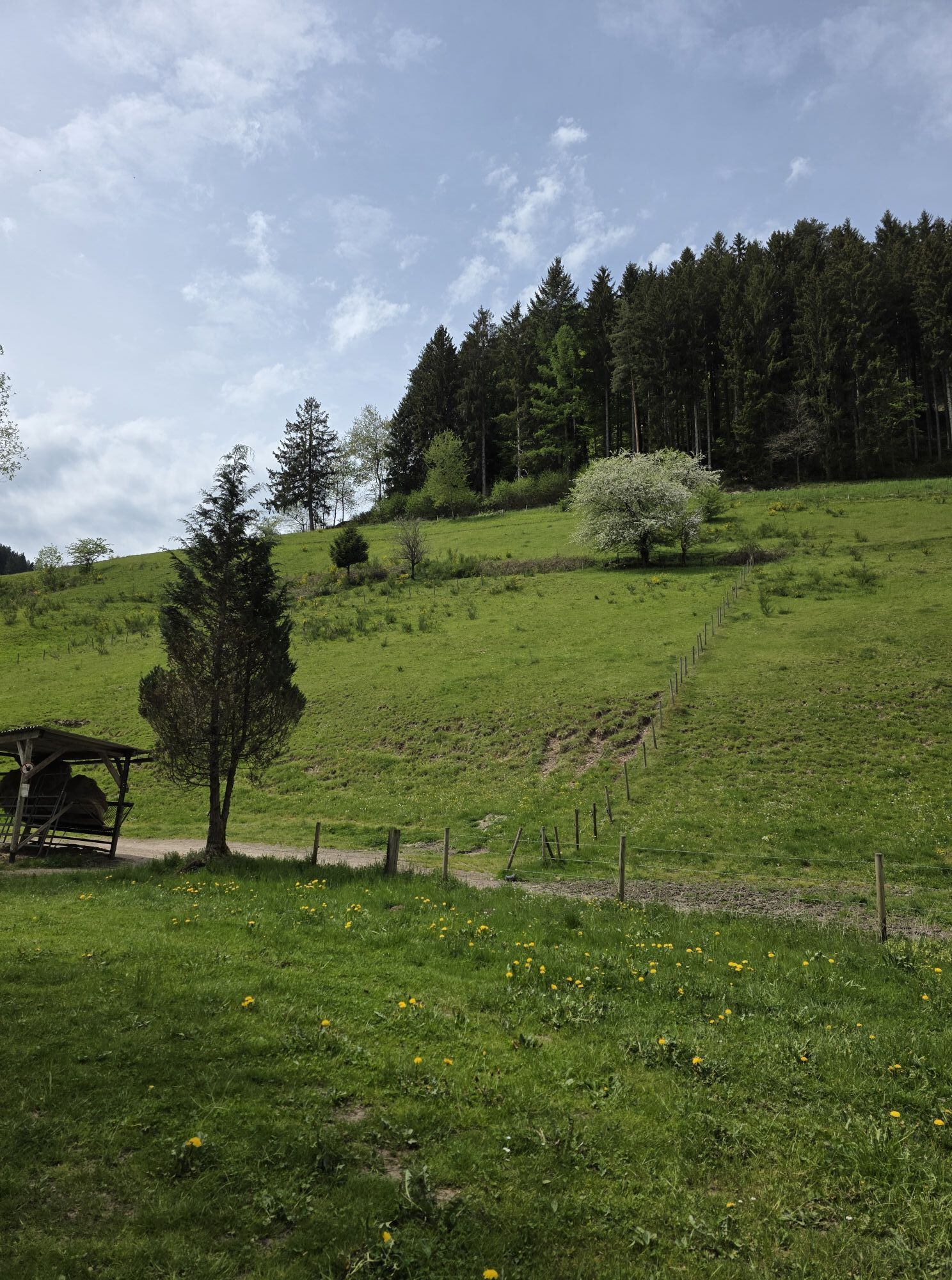
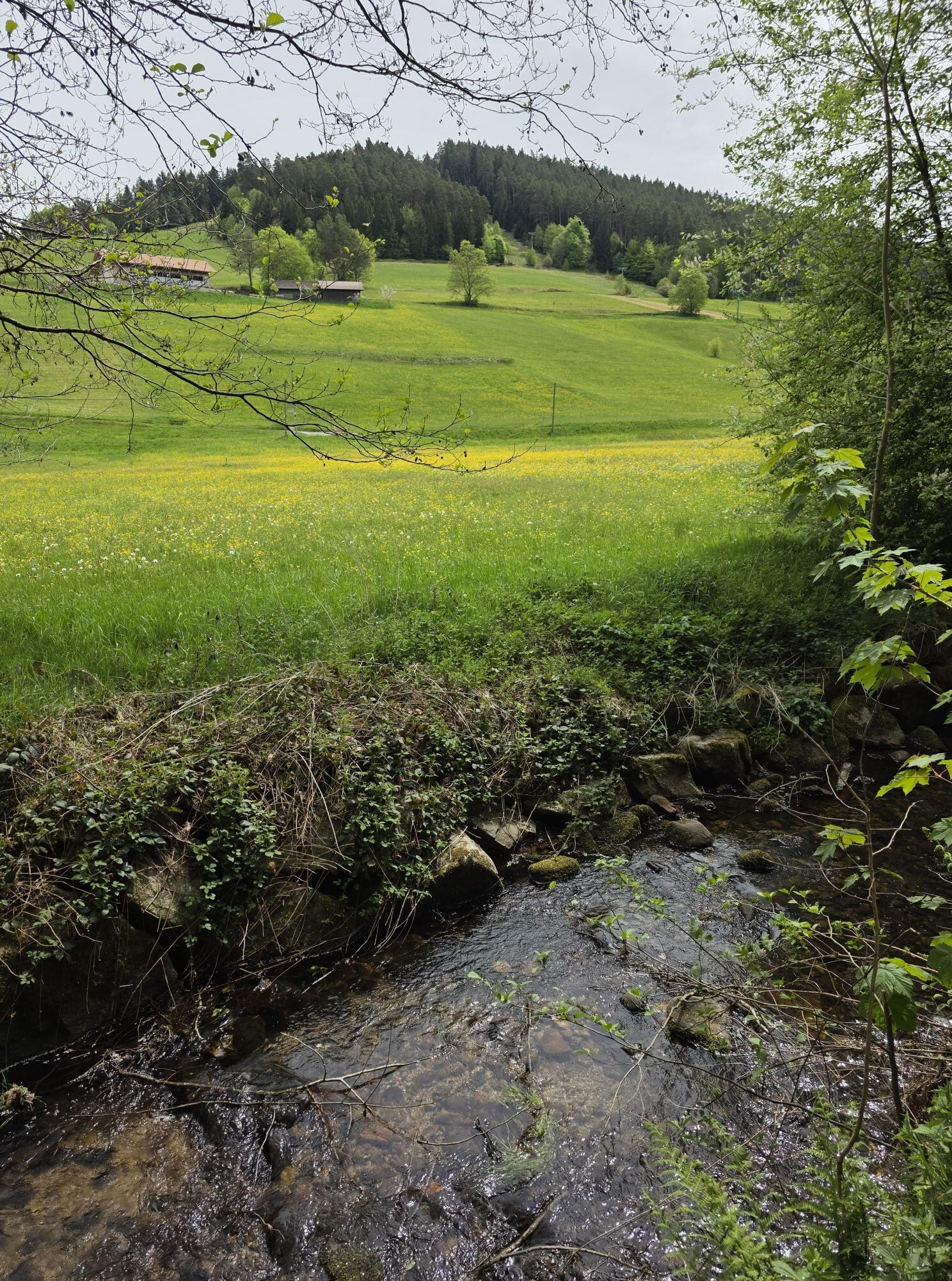
From the station, go left down the sidewalk of Freudenstädter Straße to the Kronenbrücke at Hotel Krone. Then follow Forbachstraße towards Rosenplatz to Hotel Rose. Upon arrival there, turn left into Bildstöckleweg....
From the station, go left down the sidewalk of Freudenstädter Straße to the Kronenbrücke at Hotel Krone. Then follow Forbachstraße towards Rosenplatz to Hotel Rose. Upon arrival there, turn left into Bildstöckleweg. Pass Hotel Berghof and go uphill until you take the left turn into Höferköpfleweg. Follow it to the end of the settlement and the Höferköpfle parking lot. Now continue relatively flat with a beautiful panoramic view of the idyllic Sankenbach valley and Stöckerkopf straight ahead. After a long right curve, you reach a crossroads at the edge of the forest. Here take the left path downhill until you reach the Kienbächle. Follow the Kienbächle downhill until the forest path merges into Kienbachweg and then into Sankenbachstraße. Follow Sankenbachstraße for about 800 meters towards the village center. After the “Flößerschänke” turn right into Stöckerweg. At the next junction, cross left towards the station over Forbach and the Mühlkanal. Now you have returned to the starting point of your hike, the Hiking Information Center.

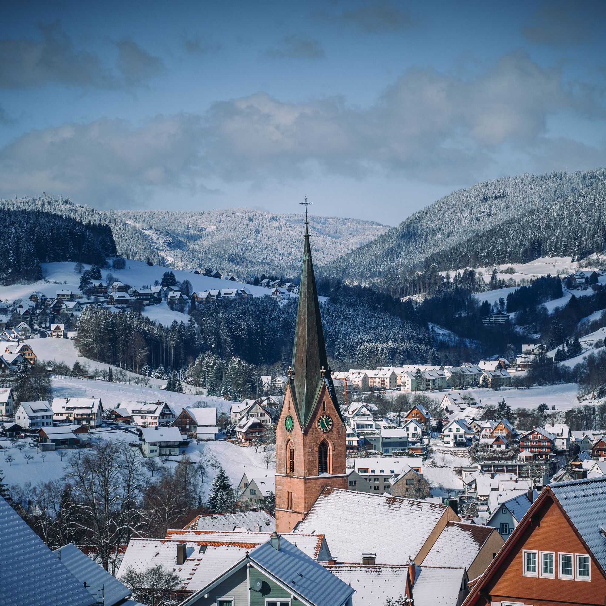

On all cleared forest paths, slipping and ice hazards may exist.
The Hiking Information Center offers ice claws for rent. More information at www.baiersbronn.de/verleih
The winter hiking trails are cleared from a snow depth of 10 cm.
Please check in advance current trail closures or at the Baiersbronn Hiking Information Center whether the route is open. Tel.: +49 7442 8414-66.
Winter is a time of rest for nature and animals. For an enjoyable winter sports experience, we especially ask you to support us by complying with the behavioral rules, staying on the paths, and avoiding noise.
Park & Ride parking lot at the Baiersbronn Hiking Information Center
3
Získejte přehled
Vždy živě na místě s více než 9 500 webkamerami. bergfex Jako uživatel Pro si nyní můžete zobrazit odpovídající webové kamery pro mnoho prohlídek v aplikaci prohlídky z. Můžete si tak přímo prohlédnout aktuální podmínky.
Oblíbené prohlídky v okolí
-
4.6
Kniebiser Heimatpfad - Wandern mit Genuss
světloTuristika 9.07 km -
4.9
Ottenhöfen - Eichkopf - Karlsruher Grat
středníTuristika 13.7 km -
4.2
Sankenbachwasserfälle und Glasmännlehütte am Stöckerkopf
středníTuristika 12.8 km -
4.5
Naturgewalten-Tour
Turistika 15.6 km -
4.7
Bannwald-Tour
Turistika 13.3 km -
4.8
Bad Peterstal-Griesbach - Himmelssteig für "Höhenverliebte"
heavyTuristika 10.3 km -
4.8
Kniebis-Sankenbachwasserfälle-Sankenbachsee
středníTuristika 7.98 km -
4.6
Bad Rippoldsau - Cafe & Restaurant Zum Schlüssel - Klösterle - Burgbachwasserfall
středníTuristika 11.2 km -
2.7
Genießerpfad zum Panoramastüble
Turistika 10.6 km -
4.0
Eiszeit-Tour
Turistika 11.7 km

Pěší turistika a stopování


Nenechte si ujít nabídky a inspiraci pro vaši příští dovolenou
Vaše e-mailová adresa byl přidán do poštovního seznamu.





