




Hike into Buhlbach Valley

Úroveň obtížnosti: 2

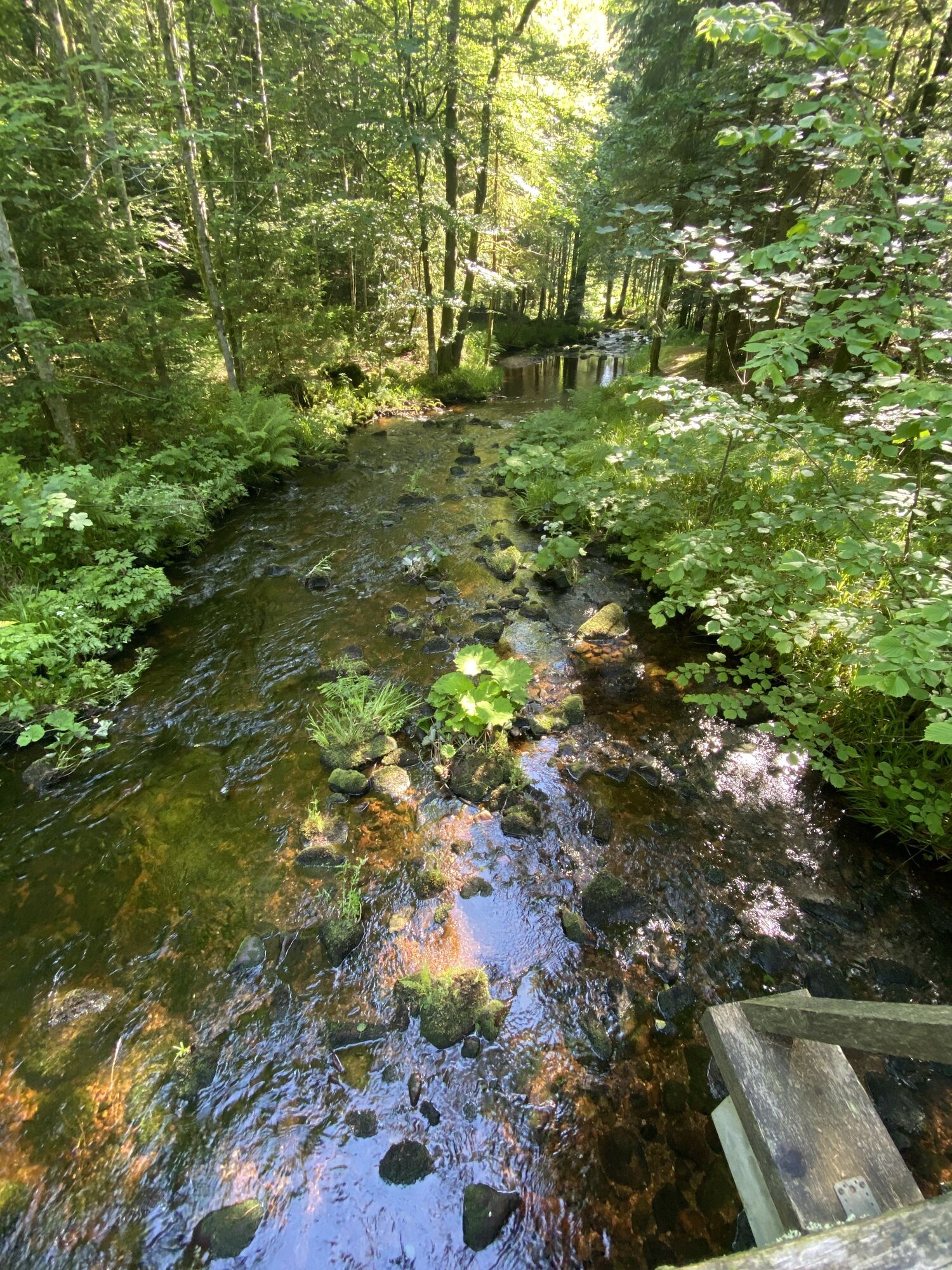
From the parking lot at the swimming pool in Buhlbach, turn left into Buhlbachsaue street. Then turn left into Weiherhaldenweg to the Lärchenhütte parking lot. From here, head towards Buhlbachsee and follow...
From the parking lot at the swimming pool in Buhlbach, turn left into Buhlbachsaue street. Then turn left into Weiherhaldenweg to the Lärchenhütte parking lot. From here, head towards Buhlbachsee and follow the blue rhombus symbol. After about 800 meters, the groomed hiking trail turns right. Do not follow the signs, but go straight ahead along the wide paved road. The cleared winter hiking trail now runs gently uphill always on the left side of the Buhlbach to the Bärenteichhütte. At the Bärenteichhütte, turn right and cross the Buhlbach. After a few meters, you will reach the Spaltbächle location. You have made a nearly 180-degree turn and then walk parallel on the left side of the Buhlbach again downhill. Follow the marked hiking trail for about 2.5 kilometers until it leaves the wide, well-cleared winter path to the right. Here you continue straight ahead and no longer follow the signed route. It goes slightly uphill for a short stretch; at the next fork, keep straight and hike on the downhill path until you reach the edge of the village Buhlbach. Follow Buhlbachsaue street back to the starting point.

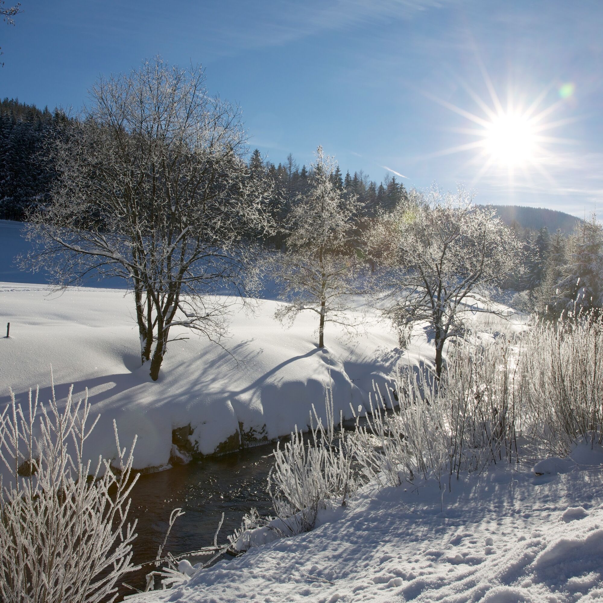

On all cleared forest paths, there can be a risk of slipping and ice.
The hiking information center offers ice claws for rent. More information at www.baiersbronn.de/verleih
The winter hiking trails are cleared from a snow depth of 10 cm.
Please check in advance in the current trail closures or at the Baiersbronn Hiking Information Center whether the route is open. Tel.: +49 7442 8414-66.
In the national park area, there are mainly seasonal trail closures in the wildlife protection areas, especially in winter. In particularly sensitive areas, these may extend beyond winter. In case of closure, a detour is signposted.
Winter is a quiet time for nature and animals. For an enjoyable winter sports experience, we therefore ask you especially to support us by observing the rules of conduct, staying on the paths, and avoiding noise.
Bus: Buhlbachsaue stop
Parking lot Swimming Pool Buhlbach
2

Webové kamery z prohlídky

Oblíbené prohlídky v okolí
-
4.6
Kniebiser Heimatpfad - Wandern mit Genuss
světloTuristika 9.07 km -
4.9
Ottenhöfen - Eichkopf - Karlsruher Grat
středníTuristika 13.7 km -
3.9
Schnapsbrunnenweg 2
středníTuristika 12.8 km -
4.1
Kniebis-Sankenbachwasserfälle-Sankenbachsee
středníTuristika 7.98 km -
4.2
Sankenbachwasserfälle und Glasmännlehütte am Stöckerkopf
středníTuristika 12.8 km -
4.5
Naturgewalten-Tour
Turistika 15.6 km -
4.6
Bad Rippoldsau - Cafe & Restaurant Zum Schlüssel - Klösterle - Burgbachwasserfall
středníTuristika 11.2 km -
4.7
Bannwald-Tour
Turistika 13.3 km -
4.8
Bad Peterstal-Griesbach - Himmelssteig für "Höhenverliebte"
heavyTuristika 10.3 km -
4.7
Ottenhöfen - Mühlenweg
středníTuristika 13.4 km
Pěší turistika a stopování


Nenechte si ujít nabídky a inspiraci pro vaši příští dovolenou
Vaše e-mailová adresa byl přidán do poštovního seznamu.


