







17 - Schorrenbuckel

The former residential town of Bad Urach lies in the middle of the UNESCO Biosphere Reserve Swabian Alb. Wonderful nature, fresh air, and the picturesque half-timbered town provide a relaxed, deep breath...
The former residential town of Bad Urach lies in the middle of the UNESCO Biosphere Reserve Swabian Alb. Wonderful nature, fresh air, and the picturesque half-timbered town provide a relaxed, deep breath and restful holiday days.

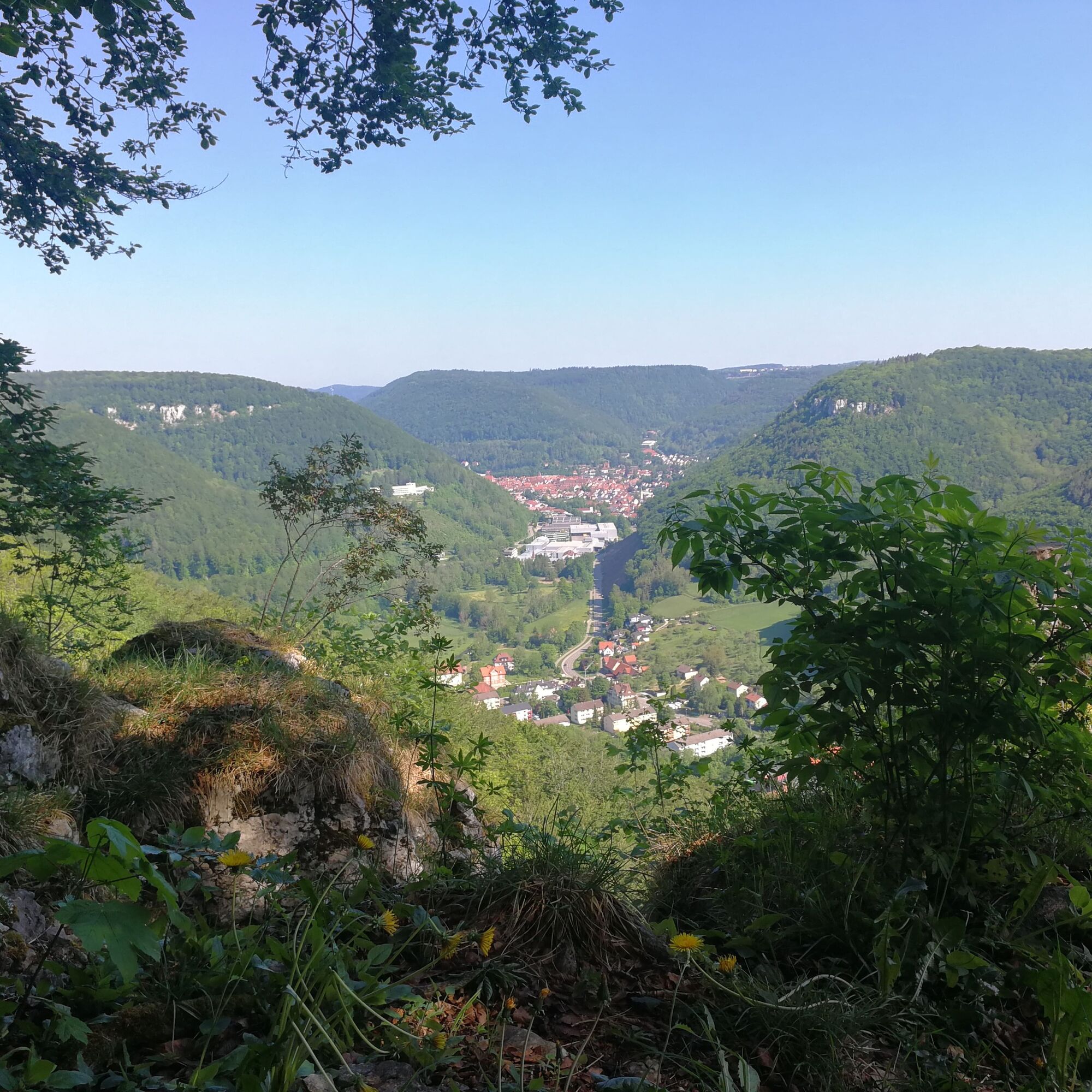
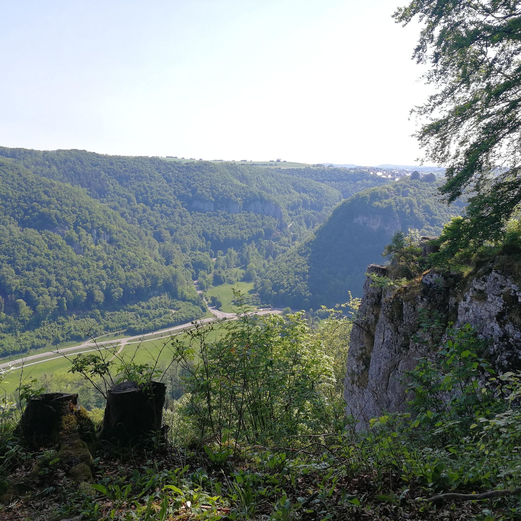
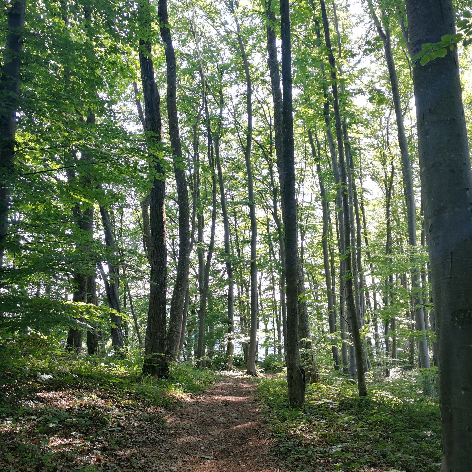

Our hiking trail initially follows a wide forest path eastward along the hiking parking lot. After a left curve, a narrow hiking path branches off to the left. This path leads us up to the ridge, where the plateau ends and falls away to the valley. In just under a quarter of an hour, we reach the Schorrenfels (711 m, protected natural monument). The view into the Ermstal and of the opposite rock ridge is magnificent. To the left, at about half the height of the Hann ridge, you can see the “House on the Alb” (State Center for Political Education Baden-Württemberg).
Above the old town of Bad Urach rises the Eichhalde. Opposite stand the rocks at Hartberg. To the right, you can see the high rocks (651 m) at Mockenrain above the deeply cut Föhrental.
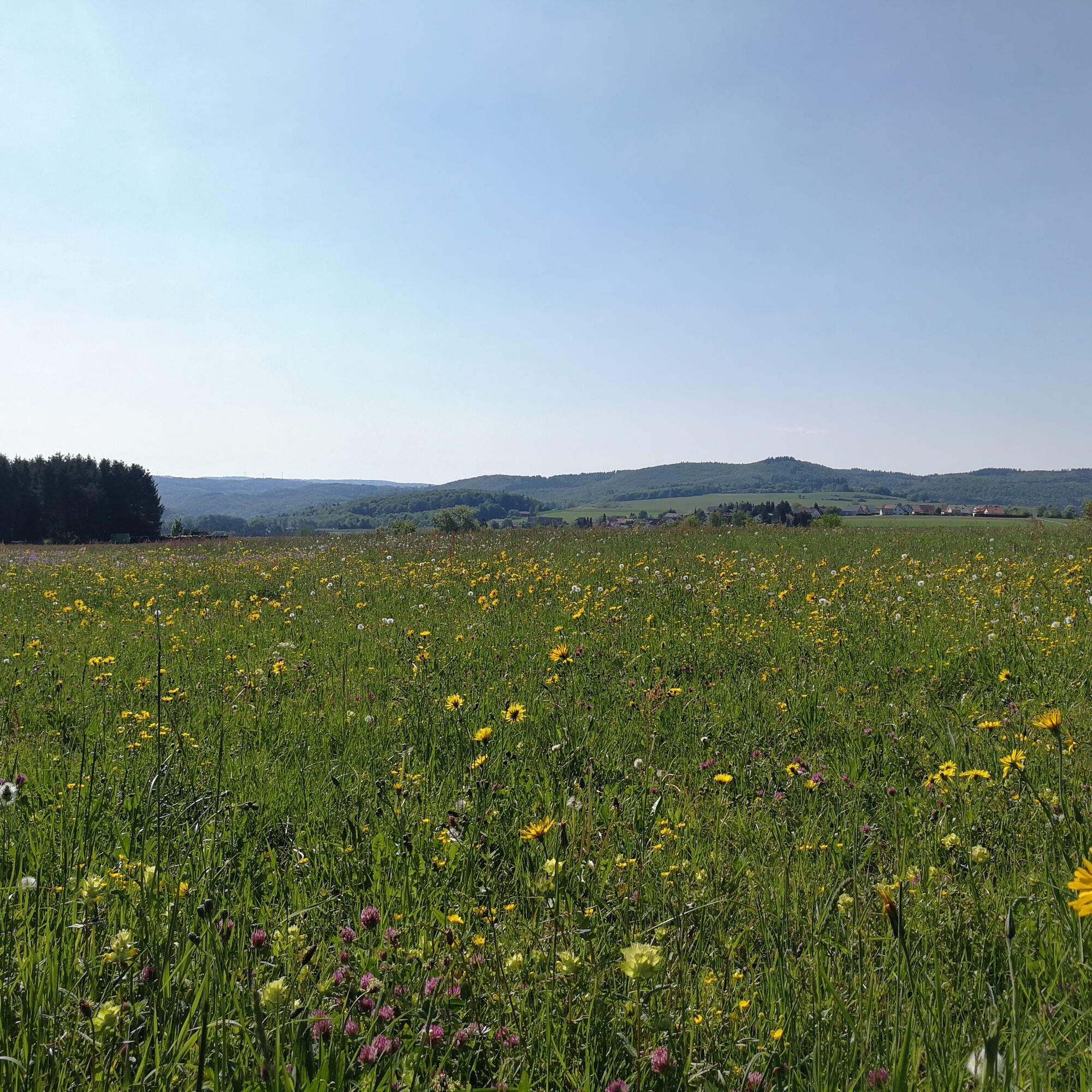
At the mountain corner on steep rock rises the ruin of Hohenwittlingen (677 m), and behind it, the Bad Urach district of Wittlingen can be seen. In the rocky Schorrenwand are several caves and shafts, but visiting them is not recommended for safety reasons. We continue our hiking trail along the rocky mountain edge. After a fence, a narrow path branches off to the left, but we continue straight along the ridge path through the dense beech forest. After about 700 m from the Schorrenfels, the ridge path drops steeply. Before the descent begins, however, we turn left. After a few meters, we change direction again and turn left into a grassy path between beech forest and spruce plantation, which leads into a gravel field path. Slightly uphill, we reach the forest ridge and then hike over the open field, the Schorrenbuckel. There our path joins an asphalt residential street, into which we turn right. Our route now offers a new surprising view over the plateau.
Gently rising hills, shallow depressions, and dry valleys line up. Together with the harmonious alternation of fields and forest, these soft shapes define the landscape. After about one kilometer, we reach a star fork and turn directly into the street that leads left towards Sirchingen. At the end of the descending section, we reach the main road and turn left, so we hike along it for about a hundred meters. Past the town sign, we reach our start and endpoint, the Schorrenfels hiking parking lot.
Sturdy footwear, hiking poles, and sure-footedness are recommended for this route.
Our circular routes are not walks but hiking trails. Sturdy footwear, hiking poles, and sure-footedness are recommended for all routes. Especially after and during rainfall as well as in the winter months, the calcareous rock and the ground, particularly on slopes, can be very slippery. We ask you to be cautious accordingly.
In an emergency, please always dial 112. Please mention if necessary that the injured persons are in inaccessible terrain so that the Bad Urach mountain rescue service is also informed, preventing unnecessary time loss during the rescue.
At the posts of the arrow signs, you will find a plaque with the exact location number. This is known to the control center. This ensures quick help in an emergency.
B 28 Bad Urach. Continue towards Münsingen to the traffic light. There turn right onto Sirchinger Steige and follow it to Sirchingen. Just before the town sign, a field path leads right to the hiking parking lot.
Take the Ermstalbahn to Bad Urach. From ZOB take bus line 7643 to the Sirchingen-Hirtenbuckel stop. From there it is just a few minutes' walk to the parking lot.
Parking lot P50 Schorrenfels
Also discover our 5 premium hiking routes Grafensteige: Wasserfallsteig, Hohenurachsteig, Hochbergsteig, Hohenwittlingensteig, or Seeburgsteig. All premium routes are suitable for athletic and sure-footed hikers and lead you to the most beautiful places in Bad Urach.
http://www.badurach-grafensteige.de
Oblíbené prohlídky v okolí
-
4.8
Wasserfallsteig Bad Urach
středníTuristika 10.2 km -
4.8
Hohenwittlingensteig Bad Urach
středníTuristika 6.48 km -
4.8
Hohenurachsteig Bad Urach
středníTuristika 7.65 km -
4.0
Seeburgsteig Bad Urach
středníTuristika 8.19 km -
4.5
Bad Urach Wasserfall, Runde von Buchhalde
středníTuristika 12.1 km -
5.0
Owen - Teckberg - Brucker Hölzle - Hörnle
heavyTuristika 13.1 km -
4.5
16 - Through the Trailfinger Gorge
středníTuristika 6.16 km -
5.0
Burg Lichtenstein umkreisen
středníTuristika 11.2 km -
5.0
Lenningen: Weiße Lauter, Wasserfels, Guttenberger-,Gußmannshöhle, Schopflocher Moor, Hohgreutfels, Ruine Wielandstein
středníTuristika 15.7 km -
5.0
Breitensteinrunde
světloTuristika 10.3 km

Pěší turistika a stopování


Nenechte si ujít nabídky a inspiraci pro vaši příští dovolenou
Vaše e-mailová adresa byl přidán do poštovního seznamu.





