






Wild valley and scenic height
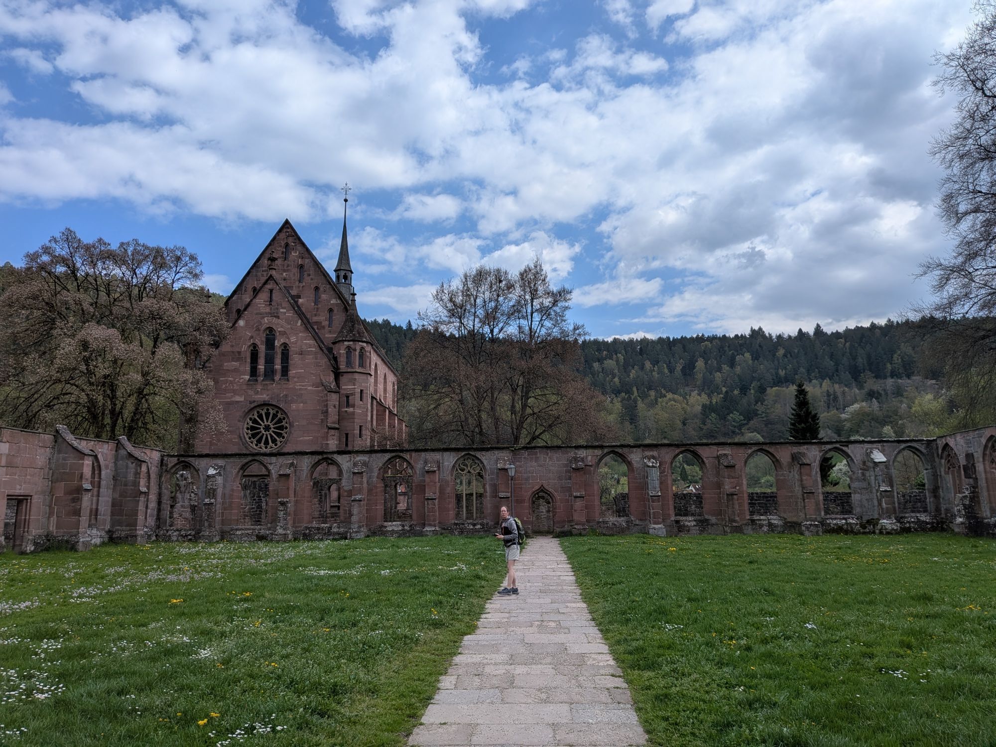
In Hirsau, we visit the impressive monastery complex of St. Peter and Paul and thus immerse ourselves in the history of the historic monastery town. Afterwards, the hike leads us over narrow paths through...
In Hirsau, we visit the impressive monastery complex of St. Peter and Paul and thus immerse ourselves in the history of the historic monastery town. Afterwards, the hike leads us over narrow paths through the romantically wild Schweinbachtal up to Altburg. After a visit to the farmers' house museum and the Martinskirche, we return over Alzenberg to Calw.
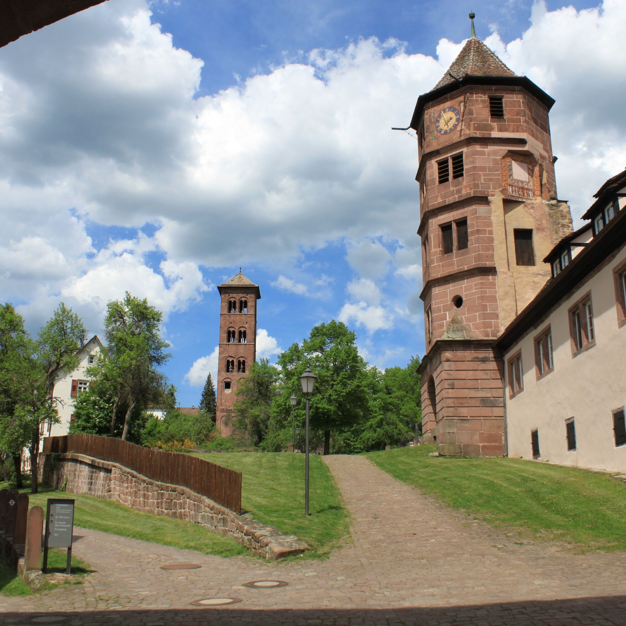
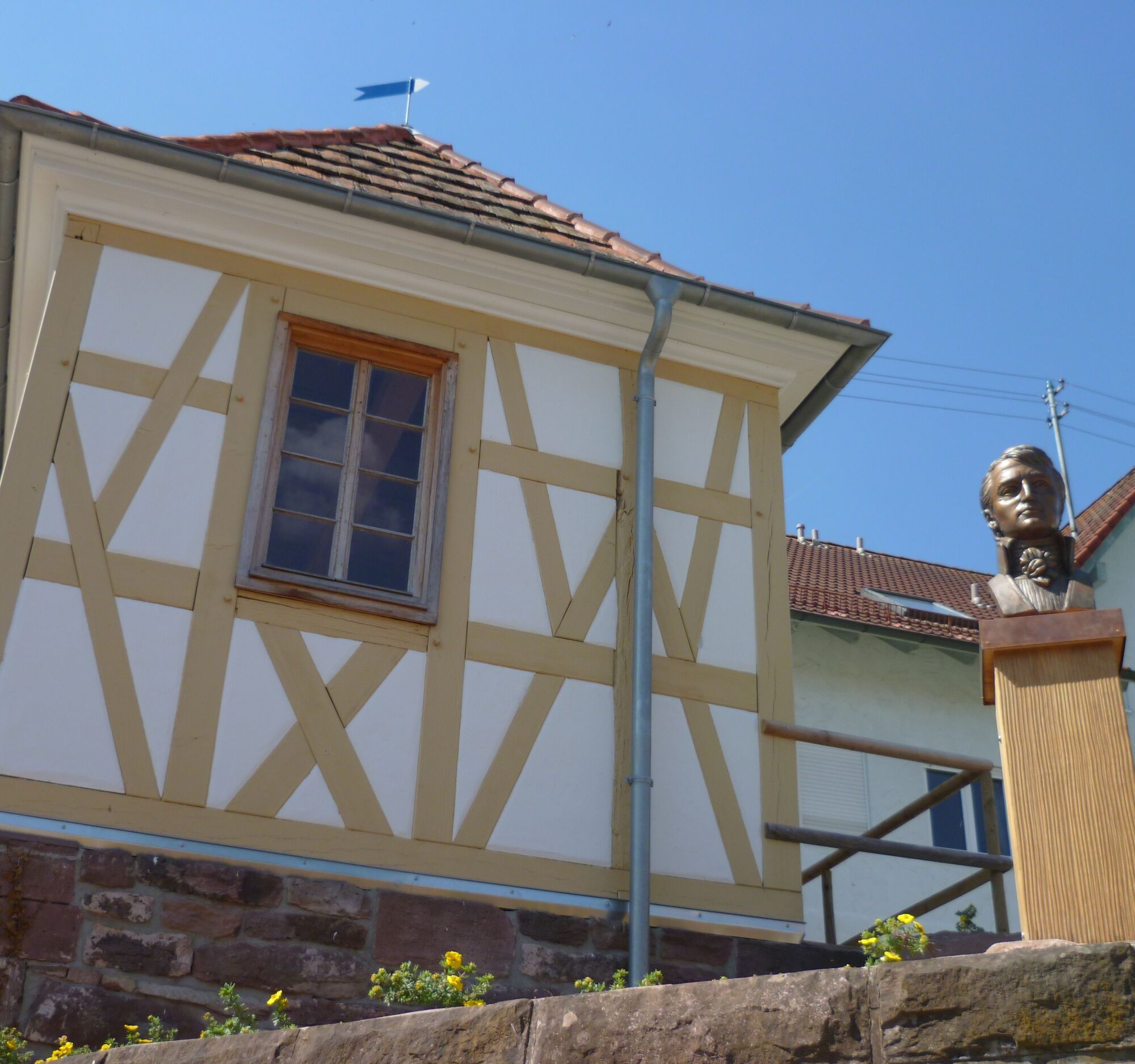
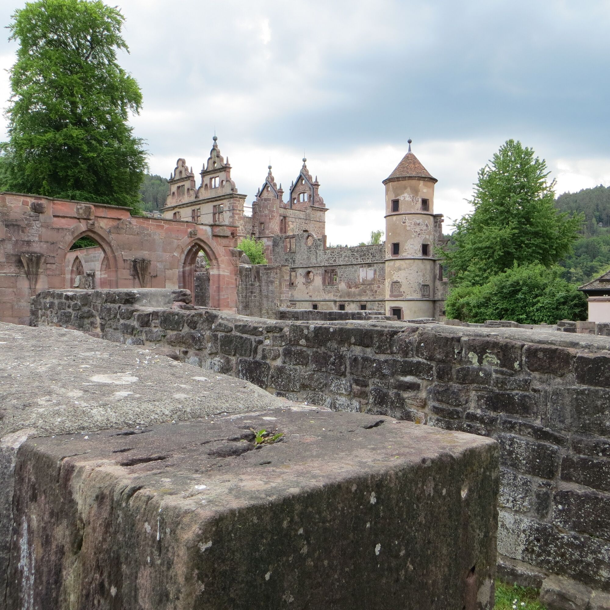
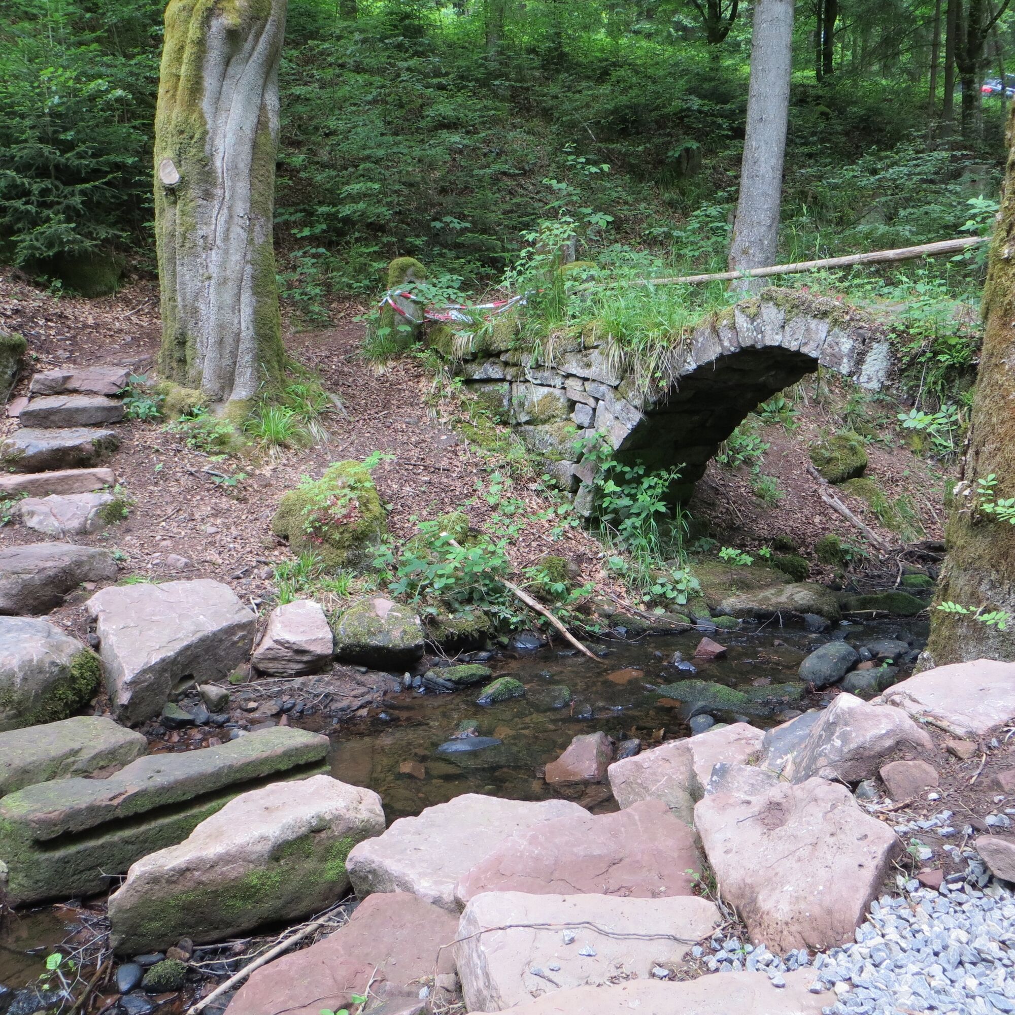

Follow the signpost locations of the Black Forest Association: Calwer Markt, Unteres Ledereck, Schinderbach, Altburger Weg, Hirsau, Brudersteige, Schweinbachtal, Steinernes Brückle, Kirchweg, Altburg, Bäckergässle, Wurstbrunnenbach, Stadtgarten, Calwer Markt
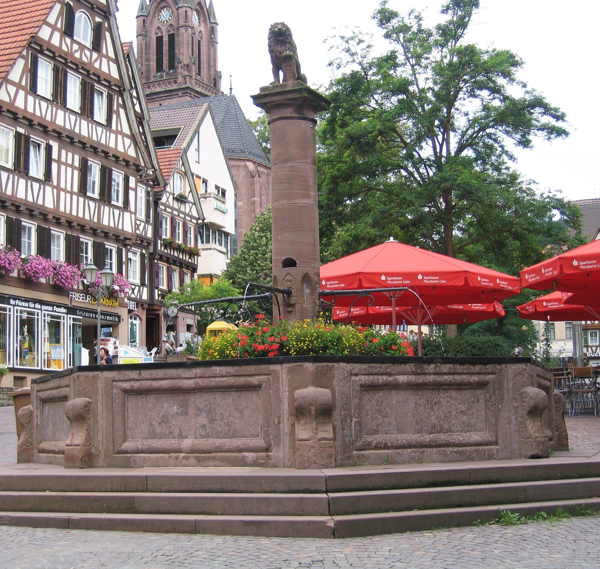
The start and end point of our route is the marketplace in Calw, lined with rustic half-timbered houses. In the heart of the Hermann Hesse town, inviting cafés and restaurants are lined up where we can relax after our hike.
We start our hike and walk out of town through Lederstraße. At Kaufland, we keep left, cross the street, and thus reach the Hirsauer Wiesenweg. We now follow the black/red lozenge into the forest and soon gain height step by step. After a short, alpine-like path, we reach a wide forest road, which gently slopes downhill towards Hirsau. We can already catch a glimpse of the monastic community with its medieval ruins. Behind a pavilion with a rest area, a narrow path winds down. On it, we reach Hirsau and thus the well-known monastery complex of St. Peter and Paul.
The former Benedictine monastery was the most important German reform monastery north of the Alps in the 11th and 12th centuries but was partly heavily damaged in 1692 during fierce battles against French troops. We enter the freely accessible grounds through the Lower Gate and soon realize that we want to linger here for some time. We discover architecturally highly significant ruins with remnants from different architectural styles: the Romanesque column basilica, which was once the largest Romanesque church in southwest Germany, and the ruin of a Renaissance castle, where the elm tree praised by Ludwig Uhland until 1989 stood. Above the Gothic cloister rises the intact late Gothic Marian chapel. Since 2007, the monastery area has been the backdrop for the 'Calw Monastery Summer in Hirsau,' featuring renowned names and demanding productions. We should not miss the monastery museum in Hirsau. Here we can dive into the medieval art history of Hirsau and experience the monastery town as the former center of Benedictine reforms in Germany. The air spa town has so much interesting and beautiful to offer, but now we want to set off again to explore the wonderful nature further.
We finally leave the monastery complex through the Upper Gate, cross the street, and, following the blue lozenge, reach the district of Bärental to the wildlife enclosure, where we can watch red deer grazing. Passing a company, we come to a fork where we can choose the right and now let the yellow lozenge guide us. It goes slightly uphill and, after passing the last house, the path narrows and eventually leads us into the gentle silence of the forest. At a fountain, we can rest before we continue to dive into the romantically wild Schweinbachtal.
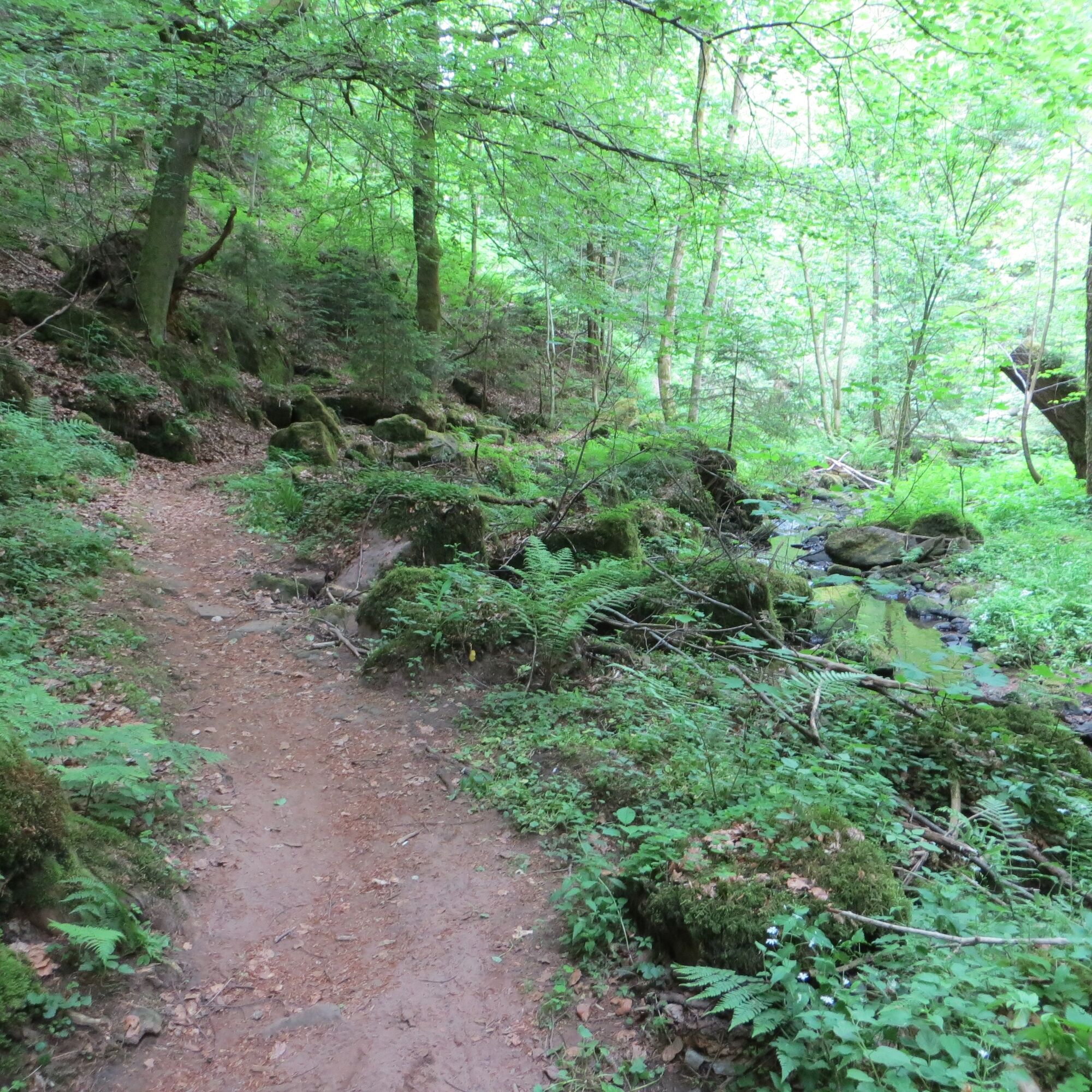
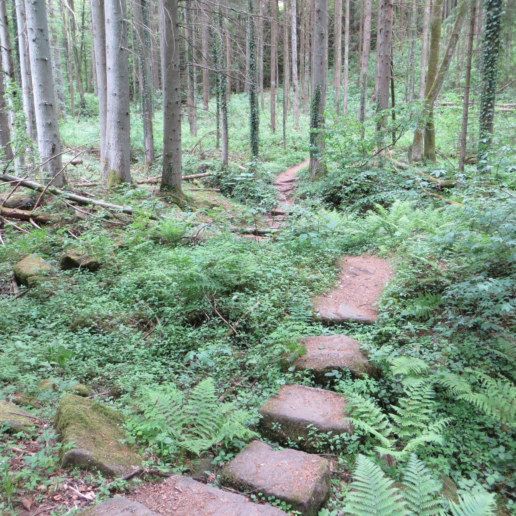
For a short section, our hike still runs on a wide path, but then, crossing a bridge, an adventurous, almost inconspicuous path opens up. From the first meters, it is not easy for our eyes to focus on the path as the nature around invites us to explore. We pass gnarly, old trees of a mixed forest that spread pleasant shade along the dreamily babbling brook and walk over roots and moss-covered stones. Narrow bridges and footbridges let us change the brook's side several times. Fascinated by the magnificent natural landscape, we hardly notice that we gain height step by step and soon leave the valley again.
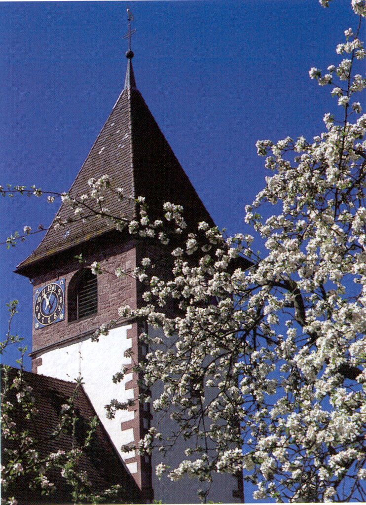
Thus, we reach a wider path again and turn left at the signpost 'Steinernes Brückle.' Now we go steeply uphill on Kirchweg, step out of the forest a few meters later, and can already see the first houses of Altburg. Soon after, we reach the town, walk down Schwarzwaldstraße, and then turn left. We turn right and reach the farmers' house museum via Theodor Dierlamm Straße. In the building erected in 1813, we can see how a farmhouse of the Calw forest with living quarters, stable, and barn was furnished around the turn of the century. Several historical household and field work tools are also on display. Tours take place from April to October, always on the 1st Sunday of the month from 2 to 5 pm. After the museum visit, a visit to the Martinskirche is recommended. The oldest part of the former fortified church with its medieval ceiling paintings is the tower from the 12th century.
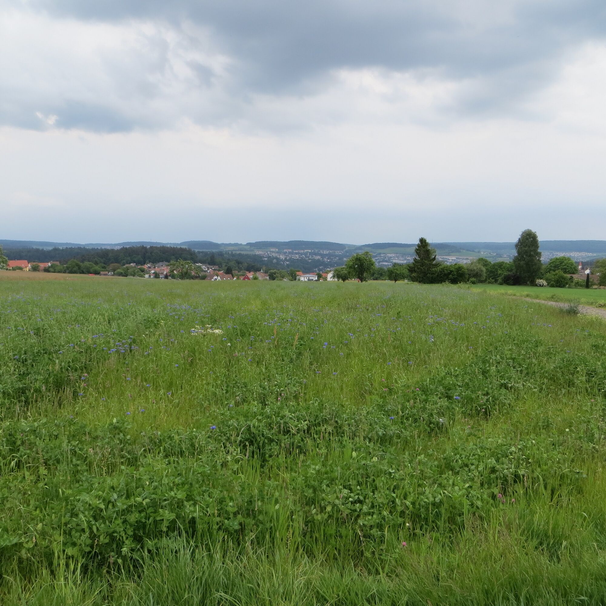
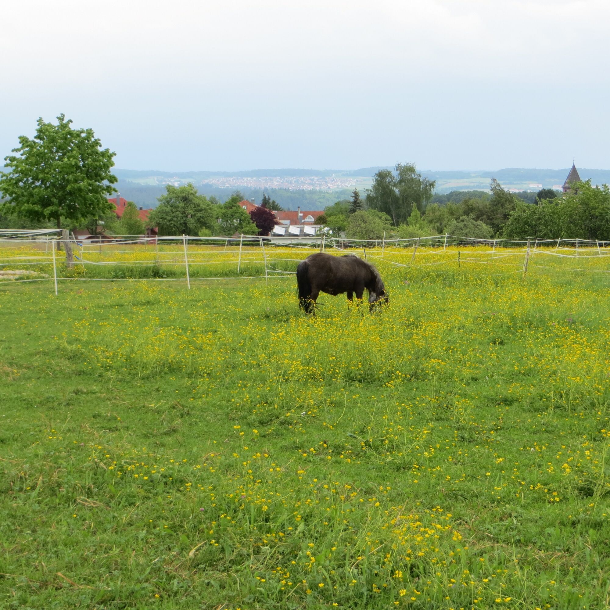
Finally, we follow the yellow lozenge out of Altburg and can look over a wide flower meadow towards Calw, the Nagold valley, and the opposite Gäu side. We continue peacefully downhill, pass a cemetery, and on the right side the village of Alzenberg. Shortly before reaching Calw, we hike again on a path lined with densely standing trees before reaching an asphalt road that takes us through the Calw city forest to the suburb. Soon after, we return to our starting point and can conclude the hike in one of the inviting inns.
Ano
Sturdy footwear
Arrival by car:
Autobahn A8 from Karlsruhe: Exit Pforzheim-West (approx. 25 km); continue via federal road 463 towards Calw Autobahn A8 from Ulm/Stuttgart: Exit Leonberg (approx. 30 km), continue via federal road 295 towards Weil der Stadt to Calw Autobahn A81 from south/Lake Constance: Exit Gärtringen-Stadtmitte (approx. 20 km), continue via K 1075; near Deckenpfronn turn left onto K 1022. At the roundabout take the first exit and continue on B 296 towards Calw.Plan your car arrival at www.map24.de
Plan your arrival at http://reiseauskunft.bahn.de/bin/query.exe/d
After you have arrived at one of the Calw parking garages, take the underpass towards Marktbrücke and walk straight ahead towards the marketplace. This is where the start of this route is.
Arrival by train:
Route Pforzheim - Calw - Horb - Tübingen (Kulturbahn). Long-distance train connections (EC, IC, ICE) are best reached in Karlsruhe with connecting trains via Pforzheim (Kulturbahn) to Calw. If arriving via Stuttgart, we recommend continuing with the S-Bahn S6 Stuttgart - Weil der Stadt with a transfer to bus line 670 to Calw.Plan your arrival at http://reiseauskunft.bahn.de/bin/query.exe/d
Arrival by bus:
Greater Stuttgart area bus line 670 DB Bahn Regiobus / Volz; (Calw-Weil der Stadt) connection to S6 Böblingen / Sindelfingen area: Bus line 763 DB Bahn Regiobus; Calw-Böblingen (connection to S1)Herrenberg area: Bus line 770 (connection to S1)
Bad Herrenalb/Bad Wildbad: Bus line X63
Plan your arrival at www.efa-bw.de
After you arrive at the Central Bus Station (ZOB), take the underpass towards Marktbrücke and walk straight ahead towards the marketplace. This is where the start of this route is.
Parking garages and parking spaces in Calw:
Calwer Markt parking garage: 234 parking spaces, open continuously ZOB parking garage: 287 parking spaces, open continuously Kaufland parking garage: 535 parking spaces, open continuously Haggasse parking garage: 119 parking spaces, open continuouslyAdditional parking options:
Parking lot at the old train station Parking lot at the Walther-Lindner Sports Hall Parking lot at the StadtgartenAll information at www.calw.de/Parken.
Získejte přehled Vždy živě na místě s více než 9 500 webkamerami. bergfex Jako uživatel Pro si nyní můžete zobrazit odpovídající webové kamery pro mnoho prohlídek v aplikaci prohlídky z. Můžete si tak přímo prohlédnout aktuální podmínky. 
Oblíbené prohlídky v okolí
- 4,7
Hiking through the Monbach Gorge in search of the kingfisher
středníTuristika 10,5 km - 5,0
Wild romantic Monbach Valley
světloTuristika 6,25 km - 4,0
Wolfsschlucht and Fox Gorge
středníTuristika 9,74 km - 4,7
Through the wild romantic Schweinbachtal to the Bruderhöhle cave
středníTuristika 13,8 km - 5,0
Der Teinacher (Premiumweg & Genießerpfad)
středníTuristika 12,0 km - 5,0
Water, Woods and Meadowtrail / Zavelstein > Calw (Premium trail & Genussweg)
heavyTuristika 14,4 km - 5,0
From Bieselsberg into the wild Monbach valley - dream route on small paths
heavyTuristika 18,0 km - 5,0
AugenBlick route Bad Teinach-Zavelstein Zettelberg
heavyTuristika 15,5 km - 5,0
Rundwanderweg Sulzkar
středníTuristika 12,4 km - 5,0
GeoTour Wildberg through the picturesque Lützenschlucht
heavyTuristika 2,80 km
Pěší turistika a stopování


Nenechte si ujít nabídky a inspiraci pro vaši příští dovolenou
Vaše e-mailová adresa byl přidán do poštovního seznamu.





