


"Flower and Stone" An eventful hike through flora and fauna
Fotografie našich uživatelů
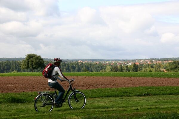
 © holgerwagVytvořeno dne 30.03.2025
 © holgerwagVytvořeno dne 30.03.2025
 © holgerwagVytvořeno dne 30.03.2025
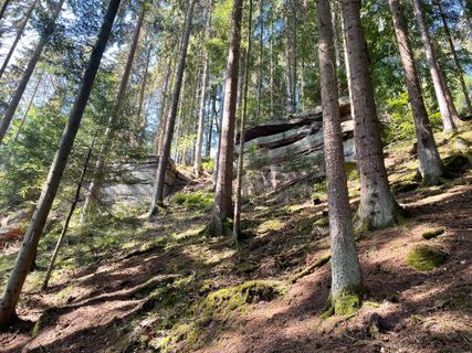
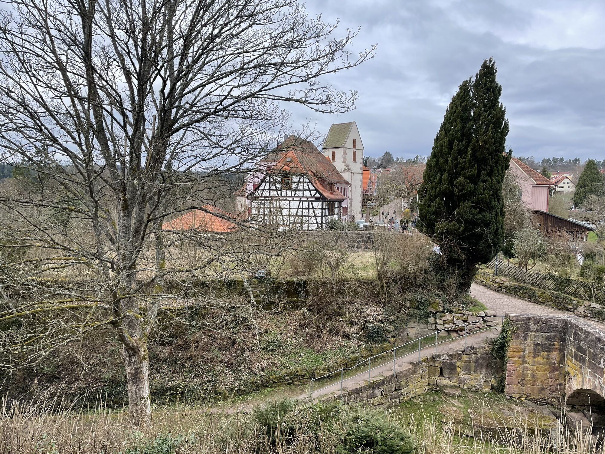
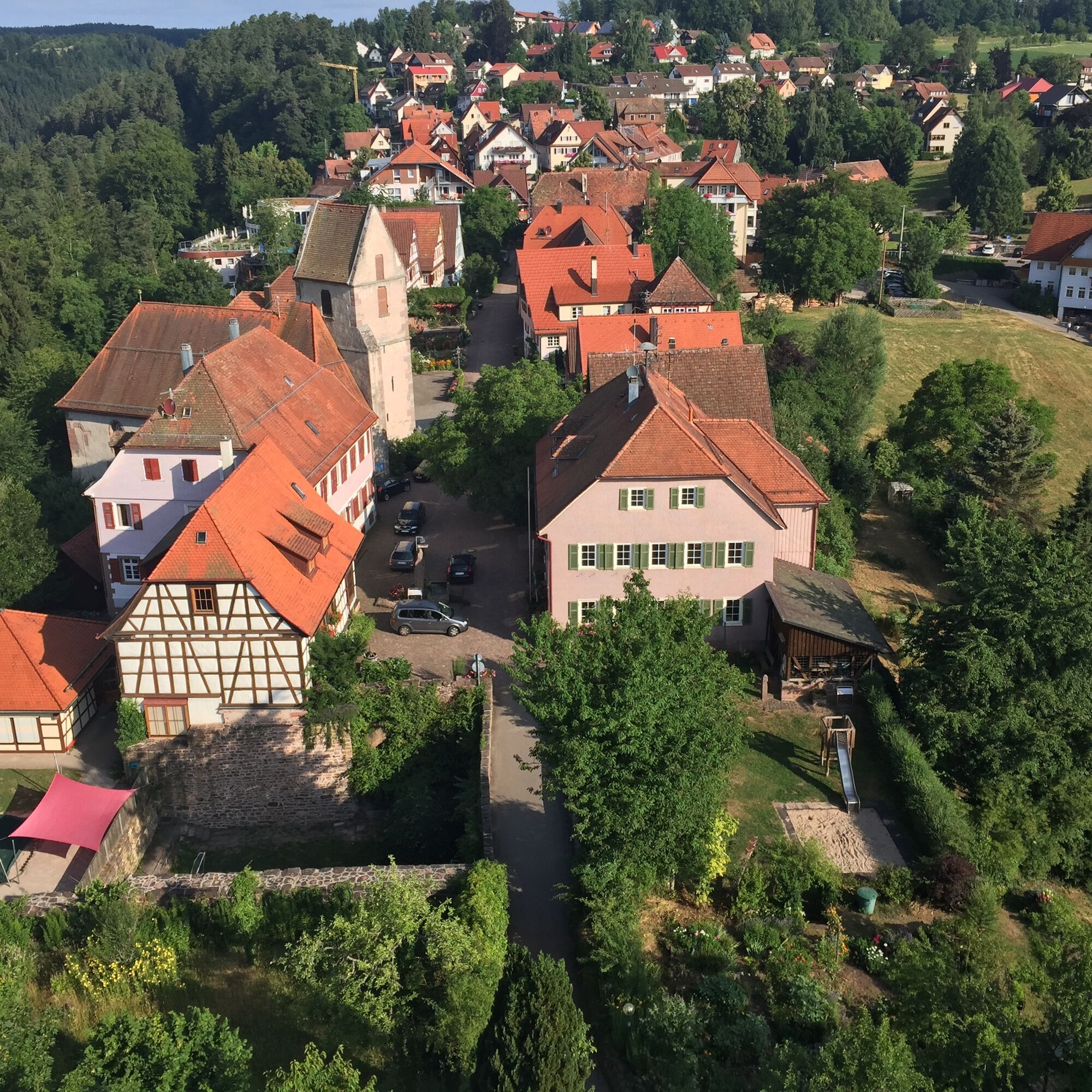
 © Ralf UmmingerVytvořeno dne 07.08.2022
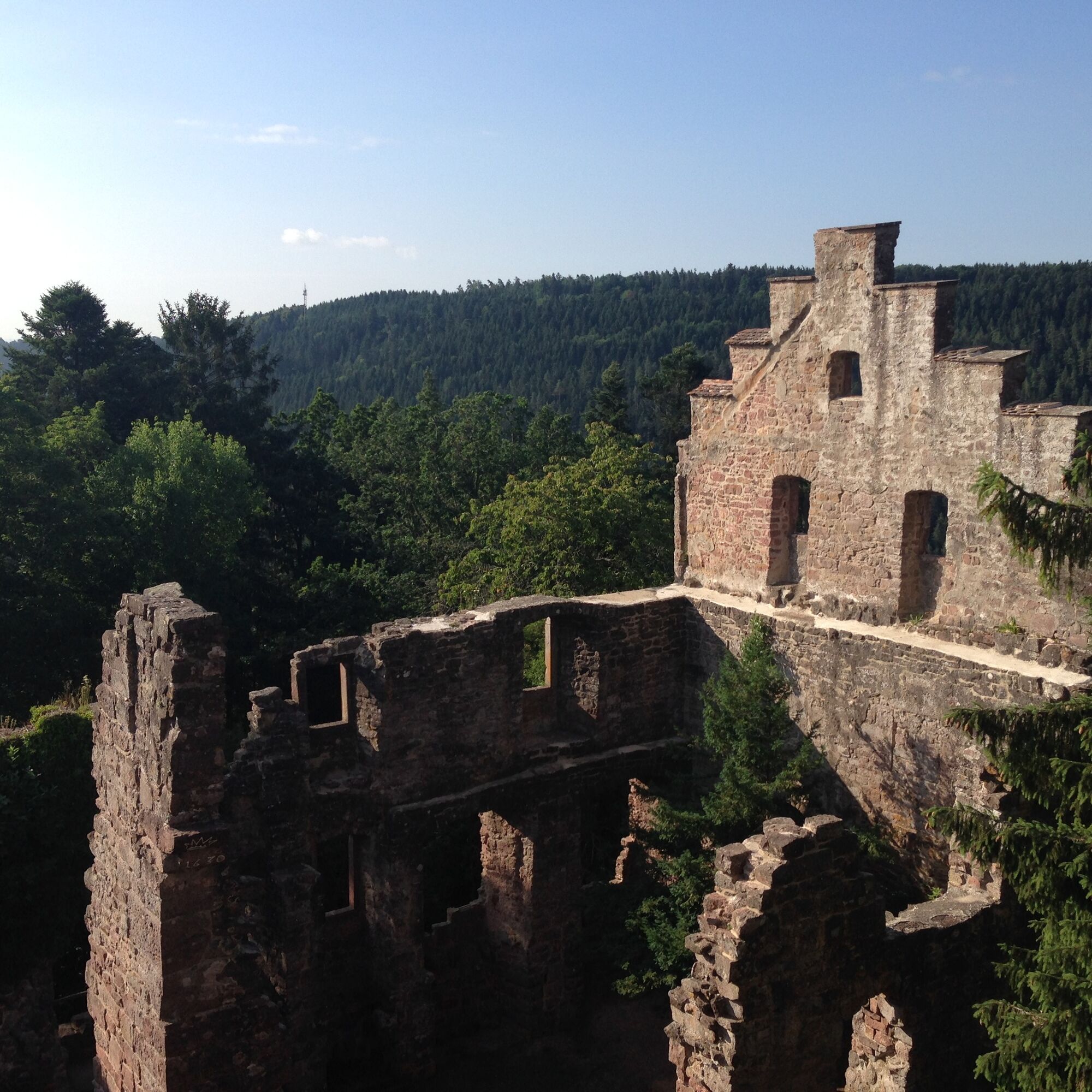
 © Ralf UmmingerVytvořeno dne 03.08.2022
 © Ralf UmmingerVytvořeno dne 17.08.2019
 © Ralf UmmingerVytvořeno dne 17.08.2019
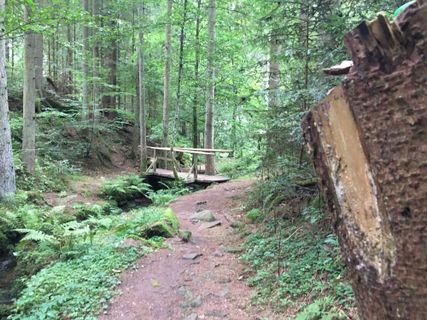 © Ralf UmmingerVytvořeno dne 17.08.2019
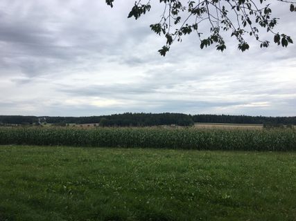 © Ralf UmmingerVytvořeno dne 17.08.2019
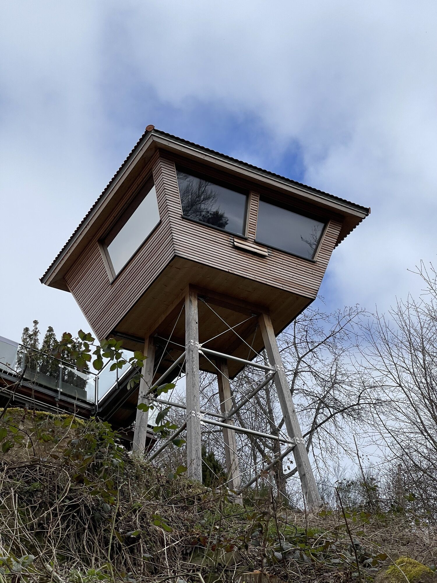

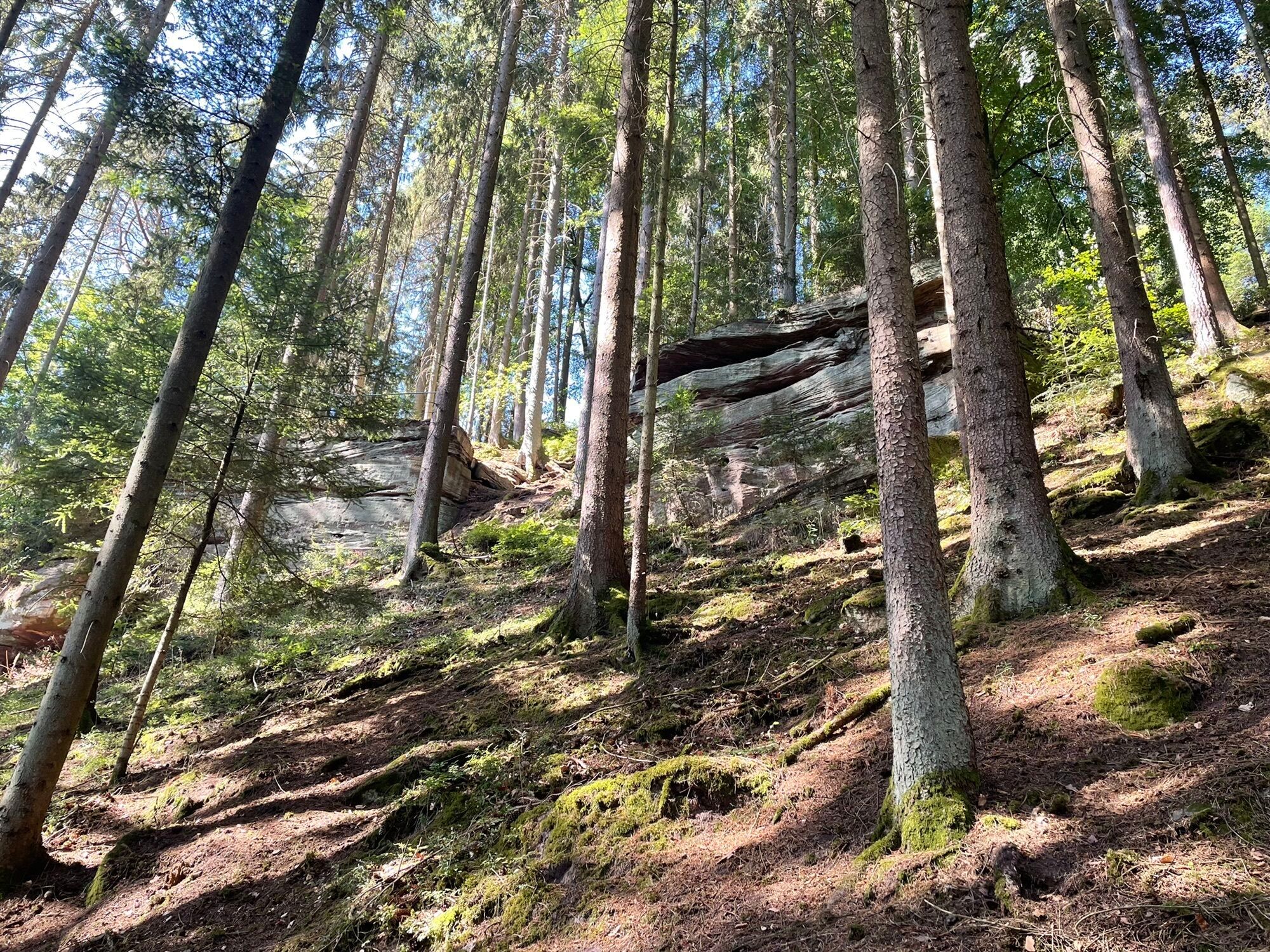

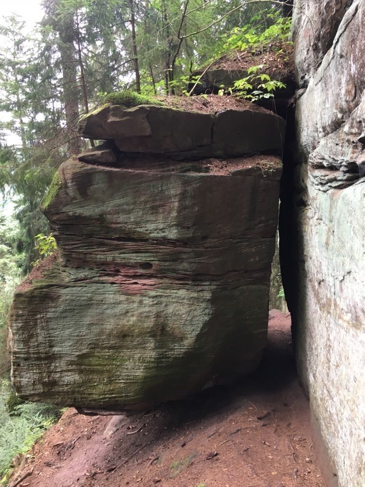
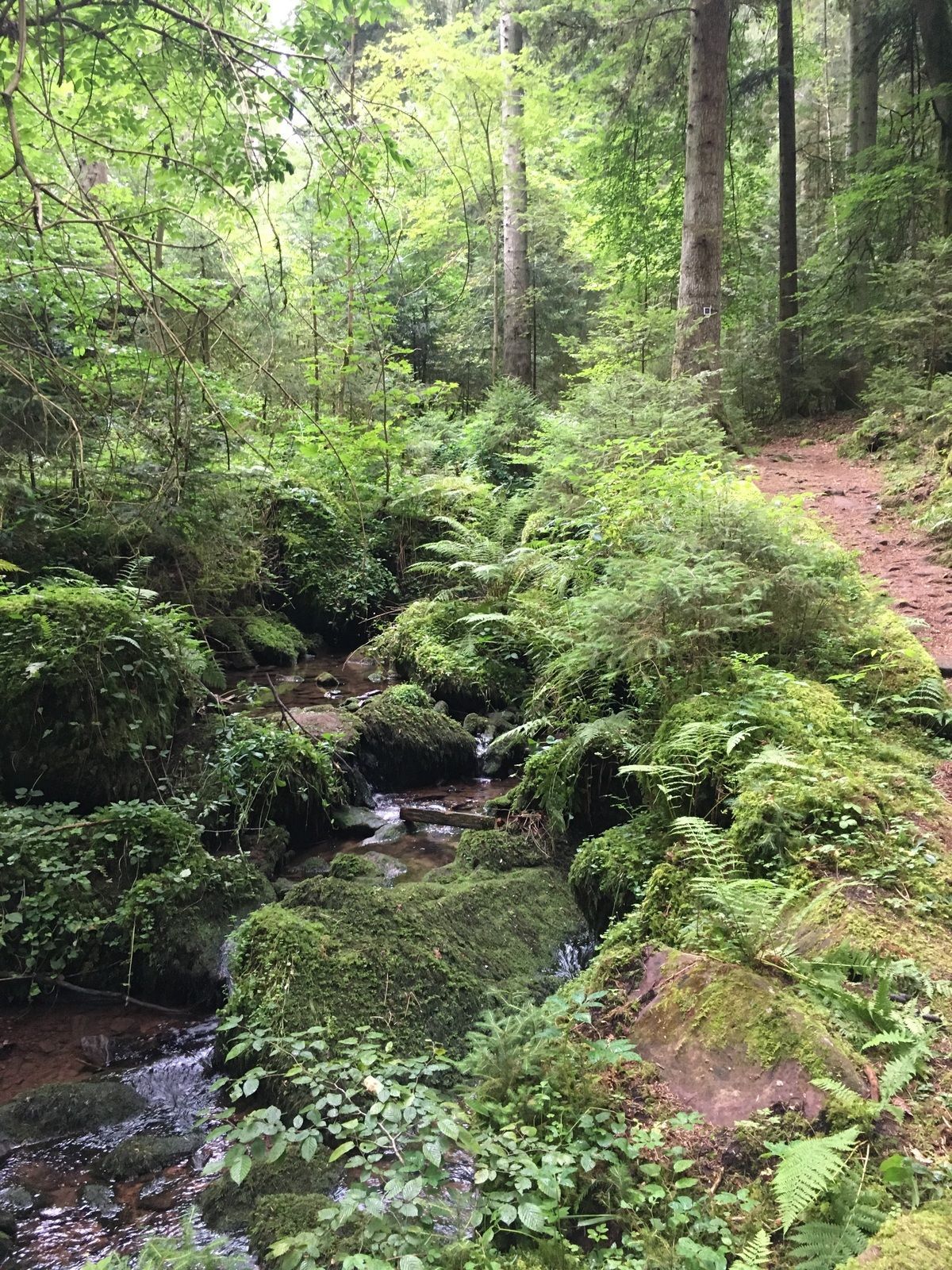


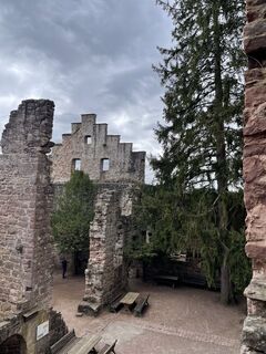
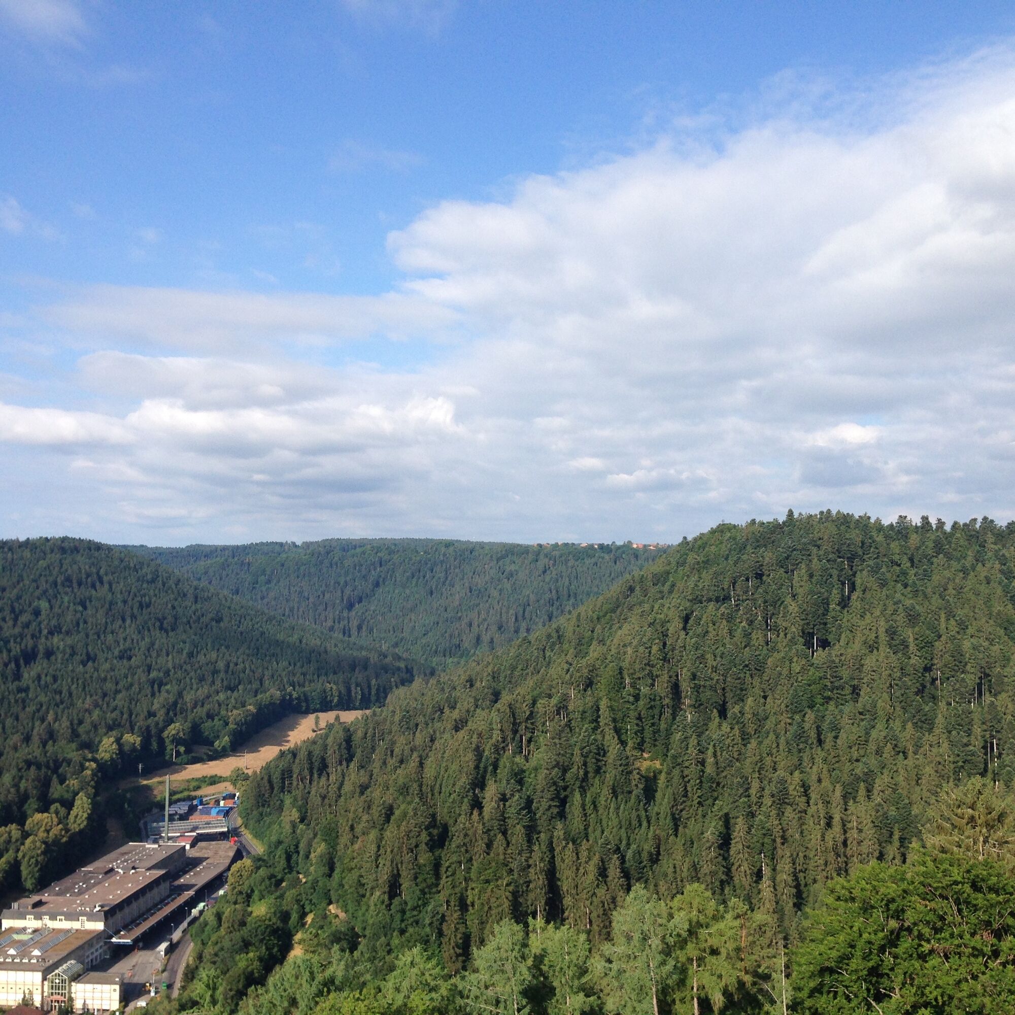
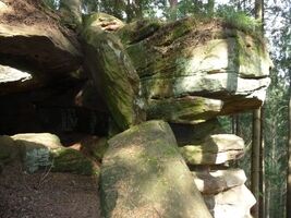
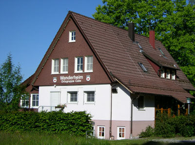
From Wanderheim Zavelstein, the scenic path leads over the Waldhufendorf Lützenhardt to the Stubenfelsen. Down through the forest you reach the impressive rock massif. Below the lookout rock, you can continue...
From Wanderheim Zavelstein, the scenic path leads over the Waldhufendorf Lützenhardt to the Stubenfelsen. Down through the forest you reach the impressive rock massif. Below the lookout rock, you can continue the hike to the romantically wild Rötelbachtal through a rock crevice. The route then leads upwards to the Zavelsteiner Brückle, where it continues towards Zavelstein. After approx. 1 km opposite the field barn, turn right into the forest towards Röt enbach, where after approx. 1.6 km you follow the blue rhombus back to the crocus meadow. On the Crocus tour, visitors learn interesting facts about the crocus. The crocus trail then takes you through the historic town Zavelstein with its Staufer castle past the memorial stone “Spinnerin Kreuz” back to the starting point Wanderheim Zavelstein.
Signage and trail network of the Black Forest Club.

Parking lot School Sommenhardt-Zavelstein, SWV location Schulstraße, Quellgarten, Marketplace, via Städtle and Castle along the Hirtenweg below the castle back to the Marketplace Zavelstein, via Stauferstraße to the location Wanderheim, Zavelstein sports facilities, Jägeracker, Stollenacker, Hausäcker, Speßhardt, Kohlerstraße, Theurerswald, Lower Waldacker, Zavelsteiner Brückle, in the Rötelbachtal, Rötelbachtal, Rötelbachbrückle, Stubenfelsen, Lützenhardt, Beim Klösterle, Upper Waldacker, Schnappenrad, Schulstraße, Parking lot School Sommenhardt-Zavelstein
Ano
Ano
Hiking boots, weather-appropriate clothing, small backpack food supplies and drinks are recommended.
In damp weather, please wear good footwear
Arrival by car
Motorway A 8 Karlsruhe-Stuttgart
Exit Pforzheim-West, via B 294 to Calmbach and B 296 to Oberreichenbach, then signposted (35 km) or B 463 to Bad Teinach station (37 km).
Motorway A 8, A 81
Motorway junction Leonberg, via B 295 to Calw, then signposted (35 km).
Motorway A 81 Stuttgart-Lake Constance
Exit Gärtringen, direction Calw on B 296. At the Holzbronn exit turn left and follow K4302 to B463 to Bad Teinach-Neubulach station. There follow K4306 to Zavelstein. At the marketplace turn right via Krokus- and Stauferstraße to the Wanderheim Fronwaldstr.
The Kulturbahn runs every 30 minutes or every 60 minutes on weekends from Pforzheim to Horb with stops in Hirsau, Calw and Bad Teinach-Neubulach.
Bus line 635 runs from Bad Teinach via Zavelstein to the station Bad Teinach-Neubulach or to Calw. Transfers to the Kulturbahn are possible at both stations.
Arrival by train
The Bad Teinach station is located 3 km outside on the Nagoldtalbahn (Kulturbahn) from Pforzheim to Horb. Modern railcars run every half hour on this route with connections to the InterRegio network in Pforzheim and the ICE and IC network in Karlsruhe. Good connections are ensured to all districts by bus services to Bad Teinach-Zavelstein and taxi services (Tel. 0 70 53 / 9 69 60). There is no ticket counter at Bad Teinach station. The nearest ticket counter is at Calw station (Calw travel center, Bischofstraße 10 in 75365 Calw, phone 07051 2355, service hours Monday to Friday 08:00 to 18:00).
On the Deutsche Bahn homepage, you can find current travel information and timetable information. Go to homepage
On the homepage of the electronic timetable information EFA Baden-Württemberg, you will find bus and train connections combined with local public transport. Go to homepage
Your luggage travels best from house to house with the railway courier luggage service. Your suitcase will be picked up at your home and delivered to your vacation accommodation. You buy your luggage ticket where you also buy your travel ticket. Alternatively, you can send your suitcase as postal luggage at the post office.
Arrival by airplane
The nearest airport is in Stuttgart-Echterdingen (60 km). Continue into the Teinach valley by S-Bahn and bus or taxi. Information about the airport can be found on the airport’s homepage. Go to homepage
You have the option to park directly at the School Sommenhardt-Zavelstein
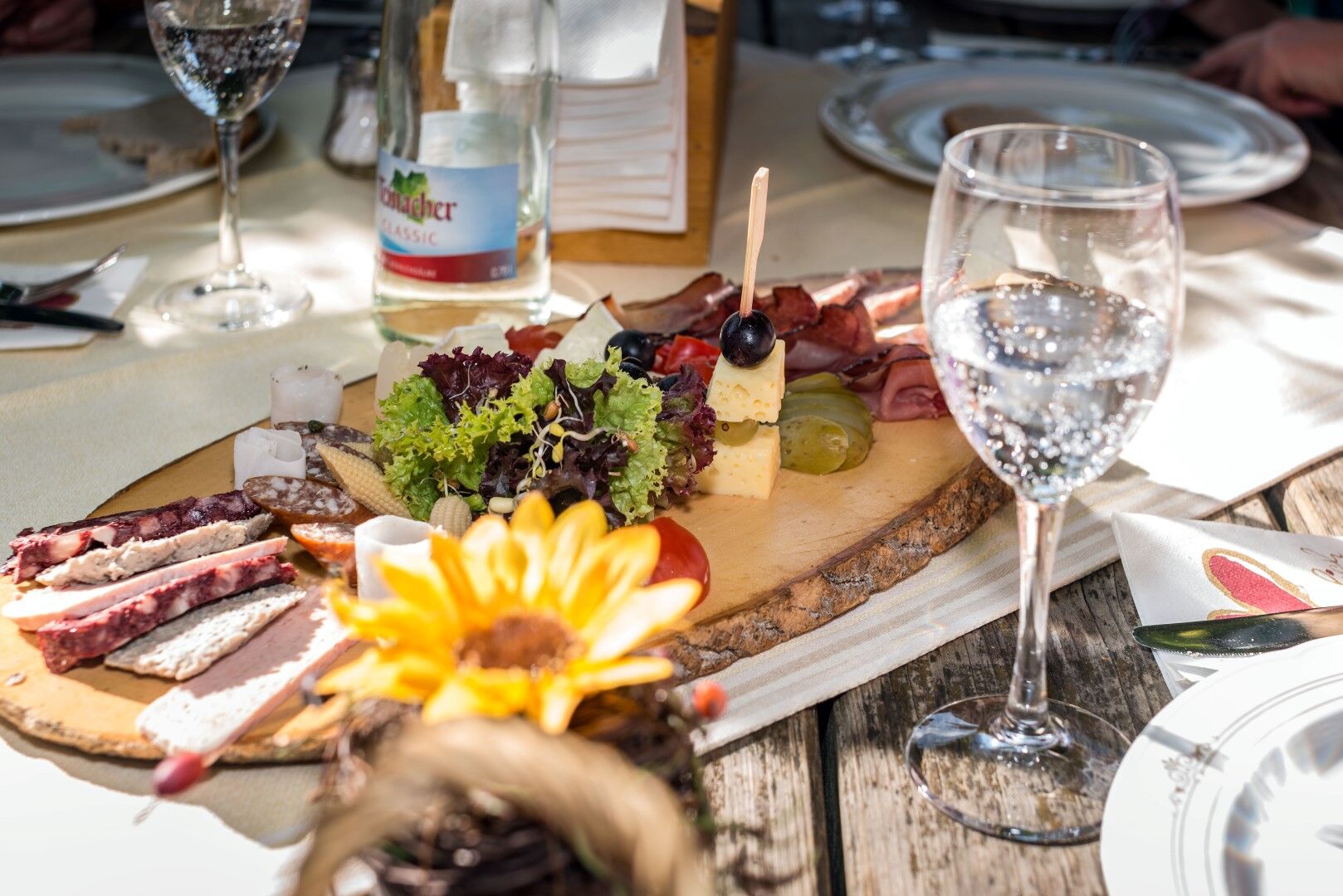
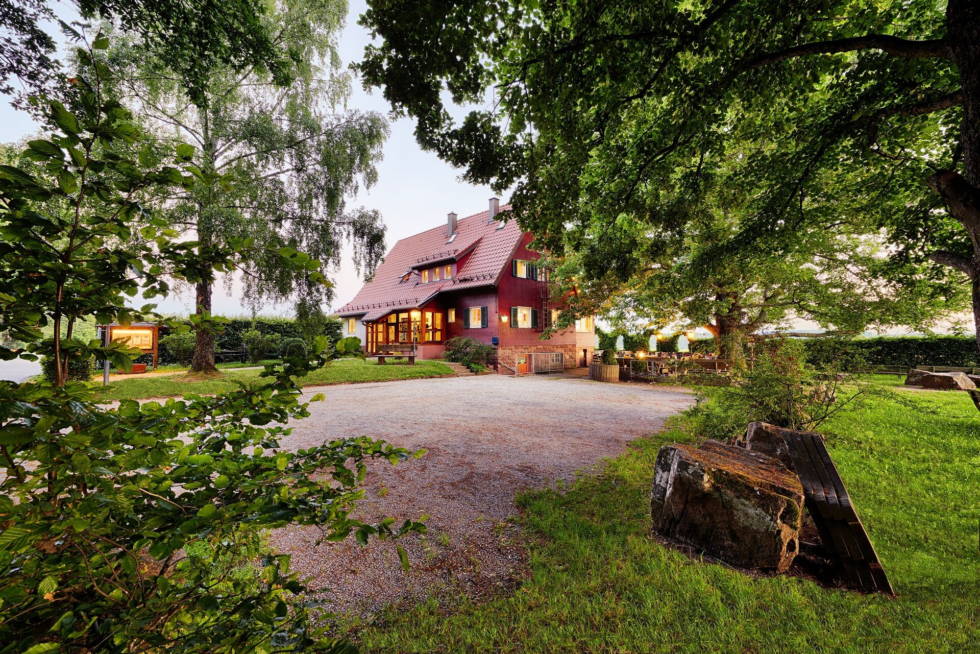
Enjoy the versatile and local gastronomy at the Wanderheim or Lamm in Zavelstein
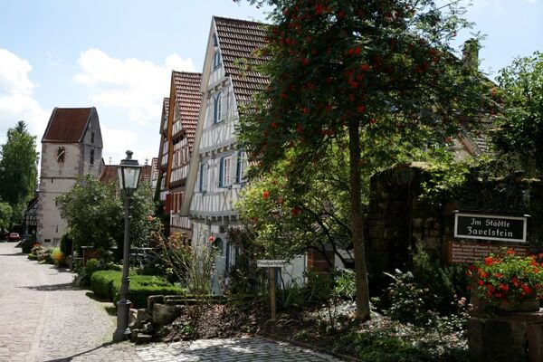
Sights:
Zavelstein Castle Ruins, Historical Städtle Zavelstein, Stubenfelsen, Rötelbachtal, Gottsacker, Spinnerin Kreuz, Crocus bloom from around early March
Oblíbené prohlídky v okolí
- 4.8
Hiking through the Monbach Gorge in search of the kingfisher
středníTuristika 10.5 km - 5.0
Wild romantic Monbach Valley
světloTuristika 6.25 km - 4.7
Through the wild romantic Schweinbachtal to the Bruderhöhle cave
středníTuristika 13.8 km - 4.5
Wolfsschlucht and Fox Gorge
středníTuristika 9.74 km - 5.0
Der Teinacher (Premiumweg & Genießerpfad)
středníTuristika 12.0 km - 5.0
Water, Woods and Meadowtrail / Zavelstein > Calw (Premium trail & Genussweg)
heavyTuristika 14.4 km From Bieselsberg into the wild Monbach valley - dream route on small paths
heavyTuristika 18.0 km- 5.0
AugenBlick route Bad Teinach-Zavelstein Zettelberg
heavyTuristika 15.5 km - 5.0
Rundwanderweg Sulzkar
středníTuristika 12.4 km - 5.0
Hike through the idyllic Kälbertal
středníTuristika 8.01 km

Pěší turistika a stopování


Nenechte si ujít nabídky a inspiraci pro vaši příští dovolenou
Vaše e-mailová adresa byl přidán do poštovního seznamu.