







Reach for the Top
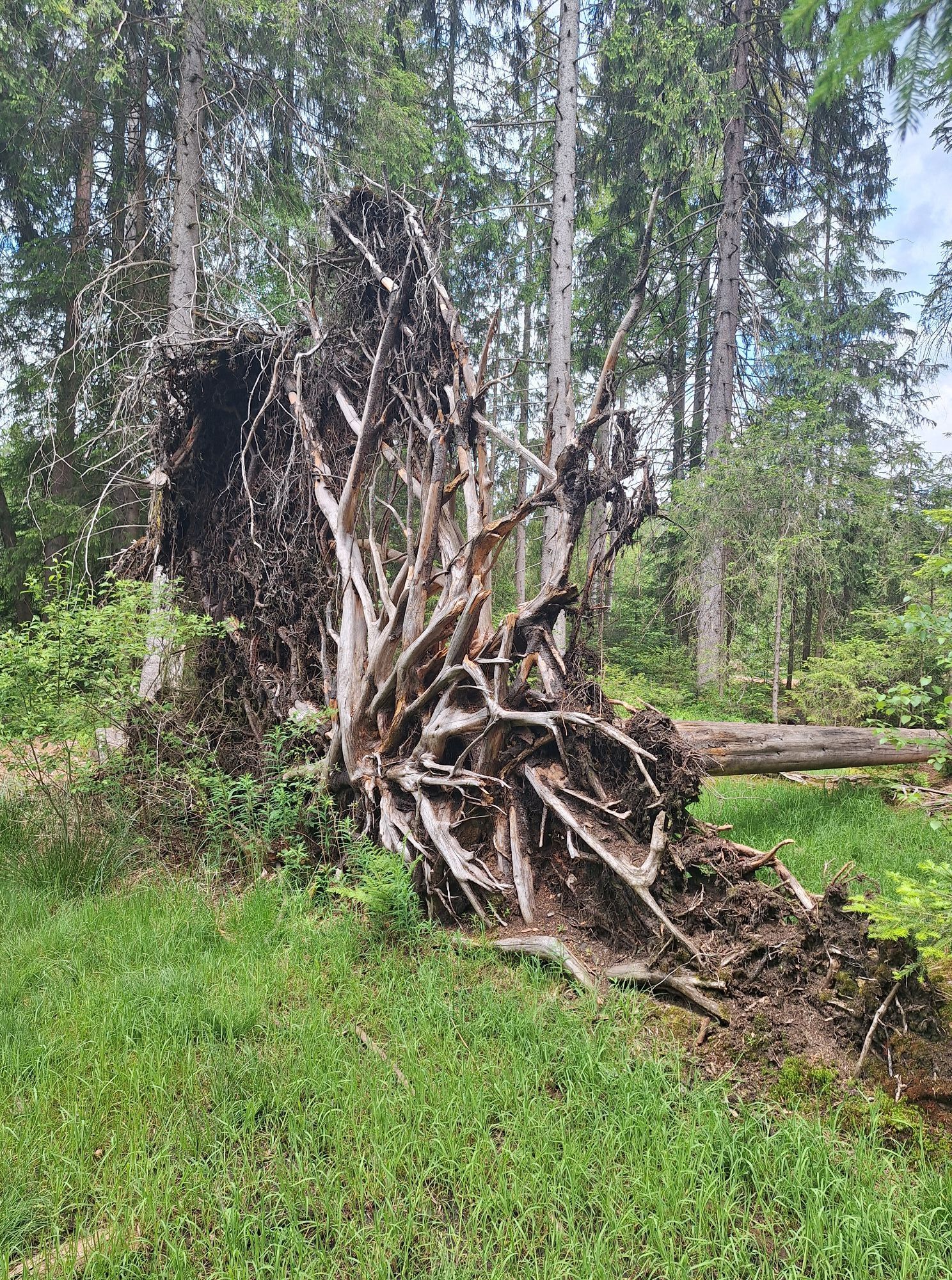
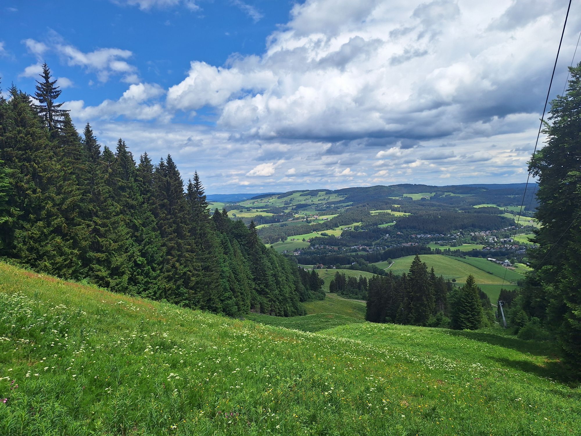
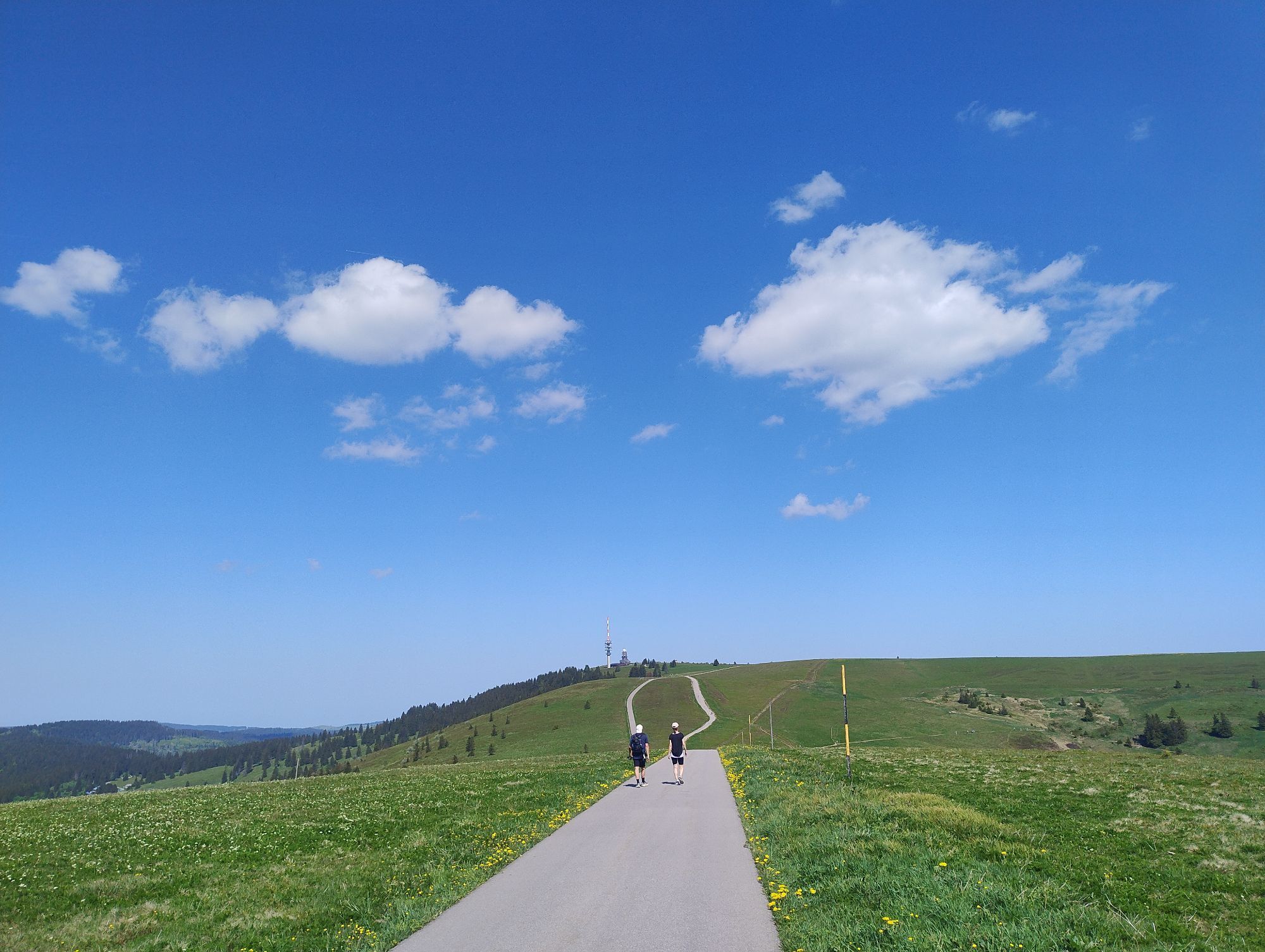
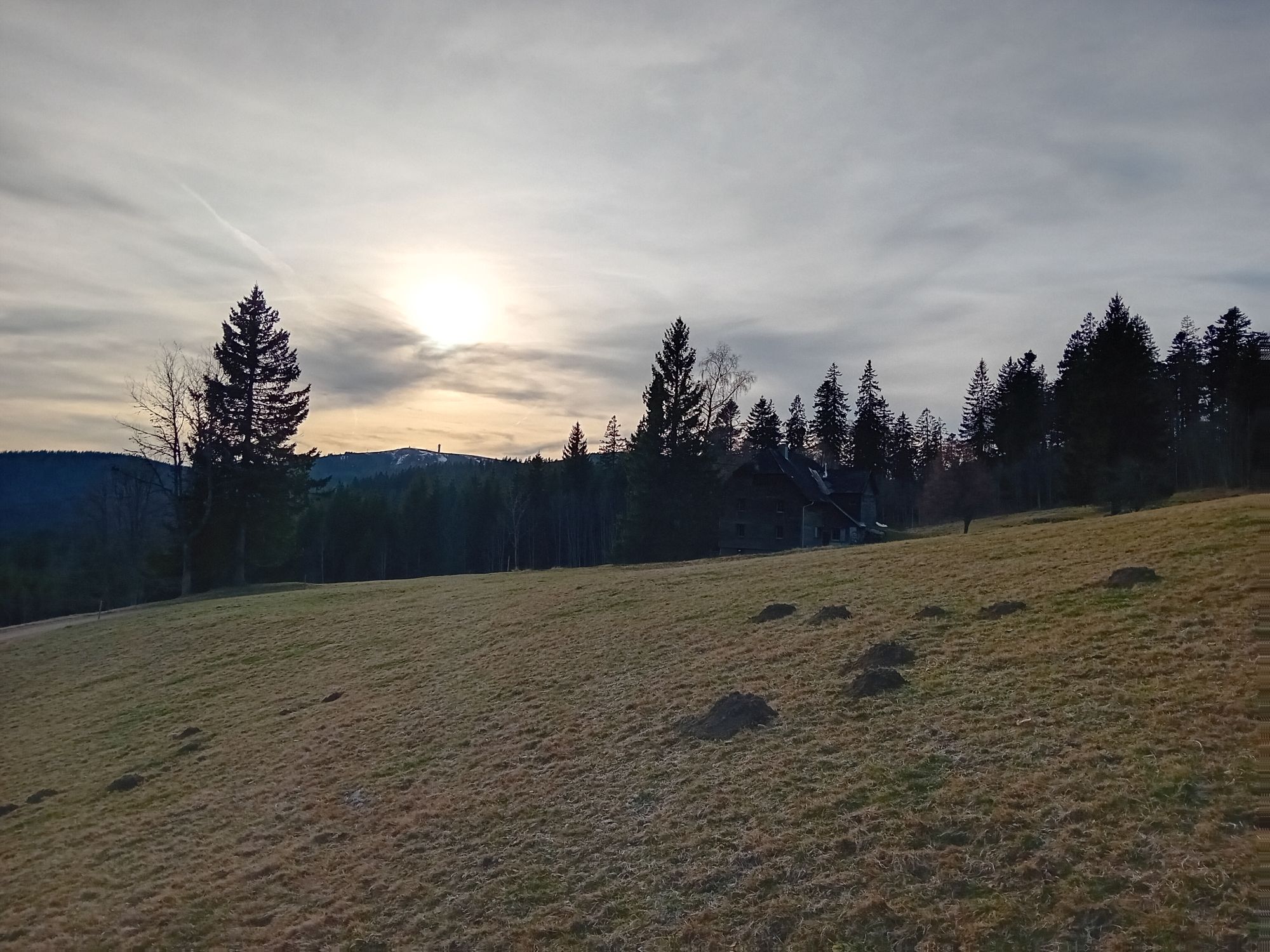
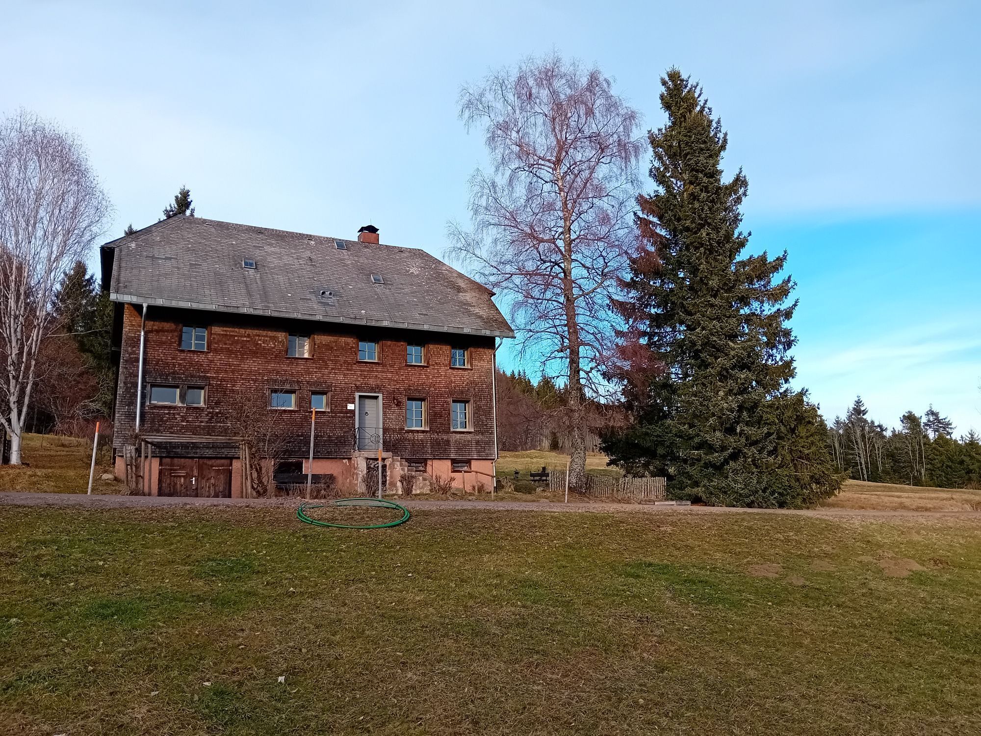
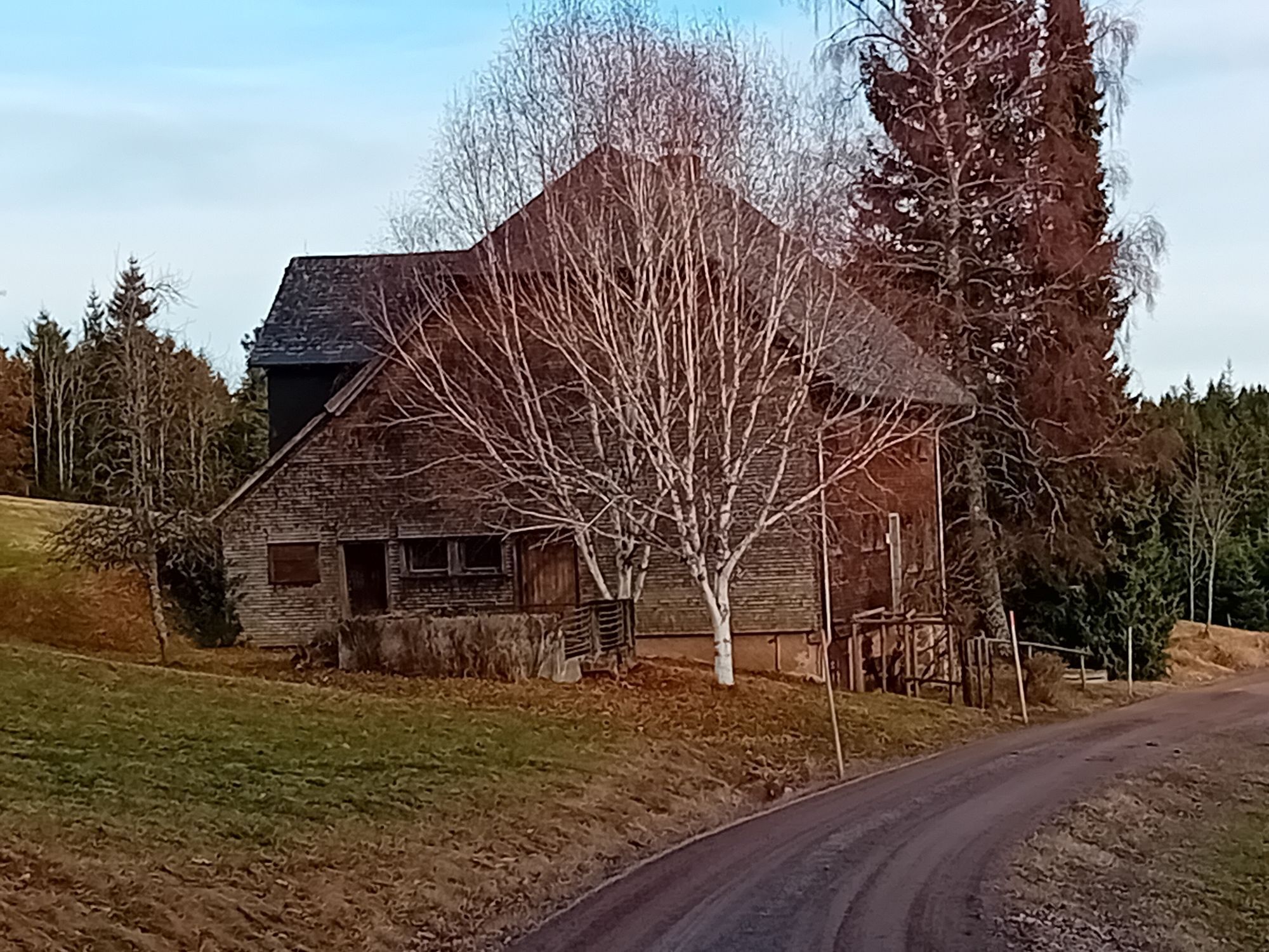
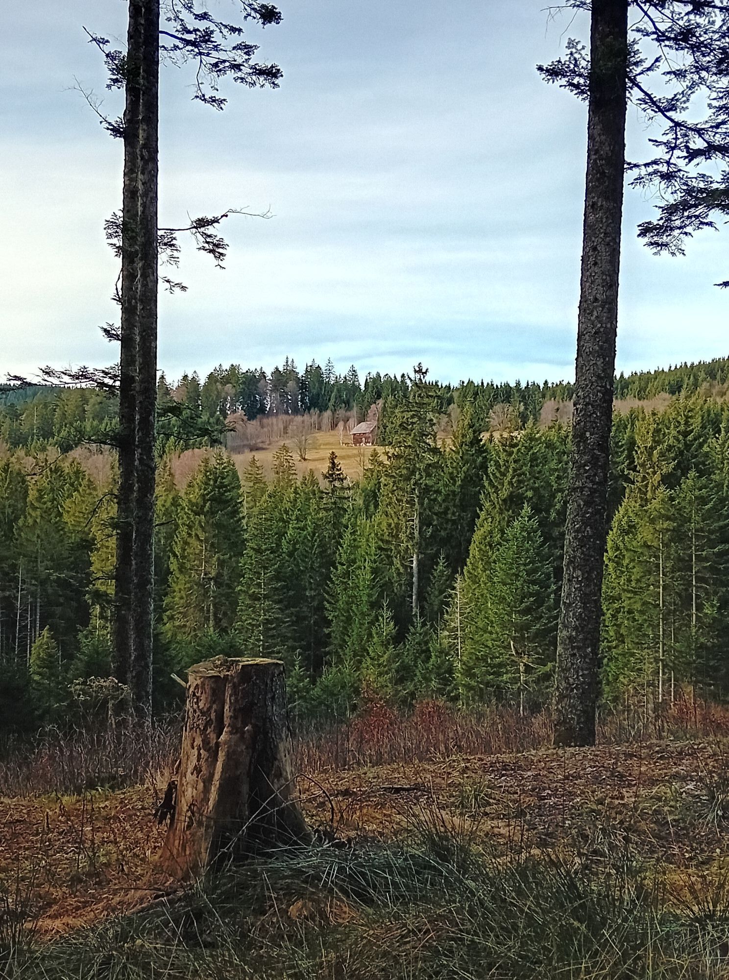
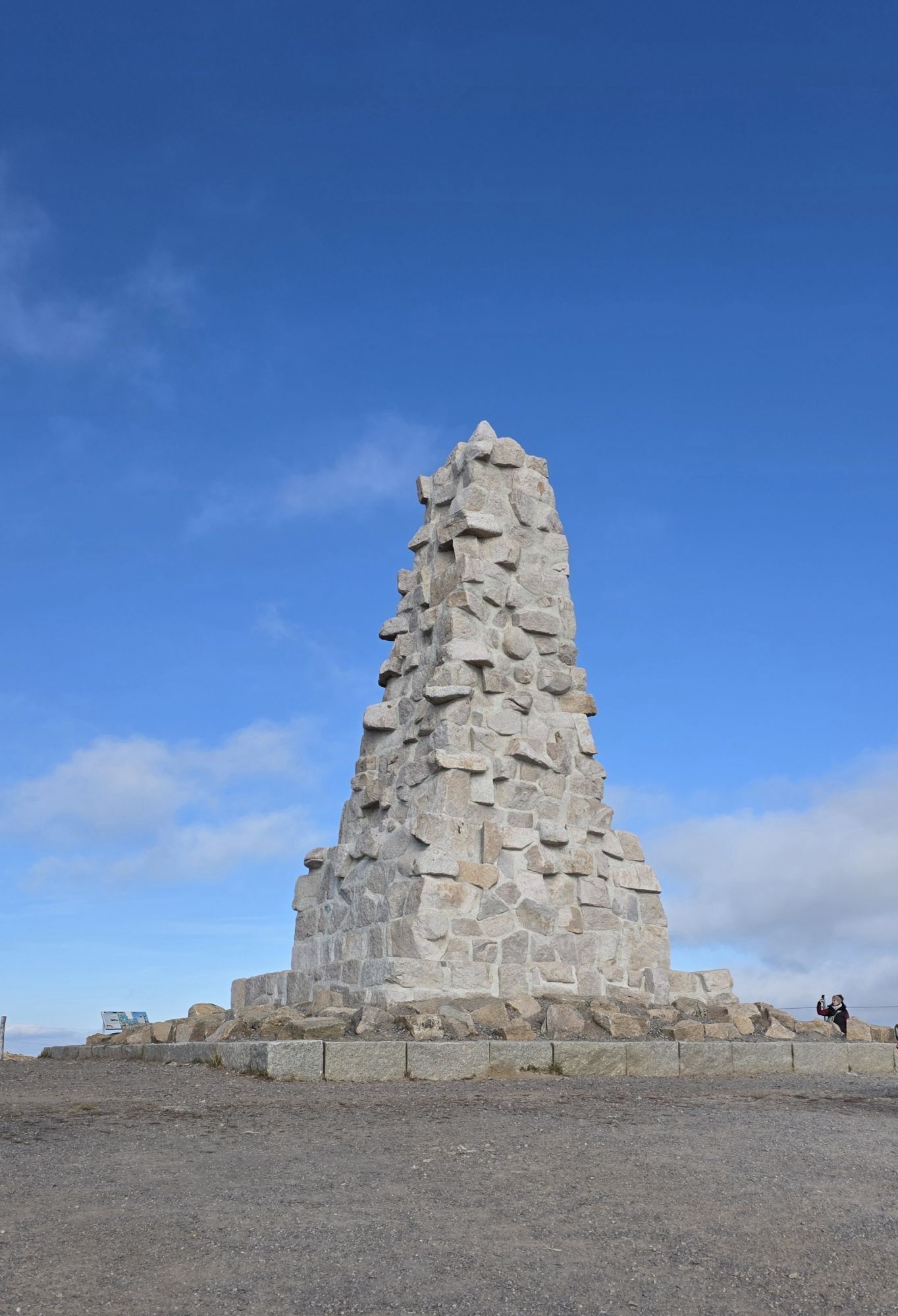
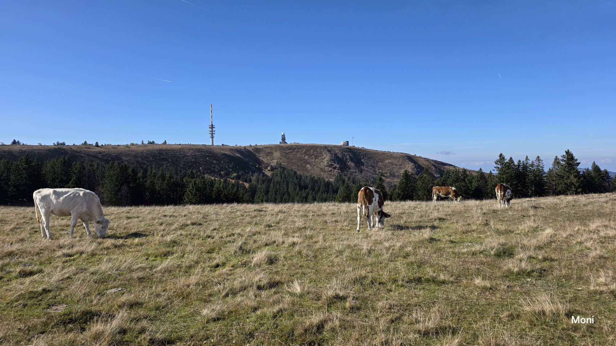
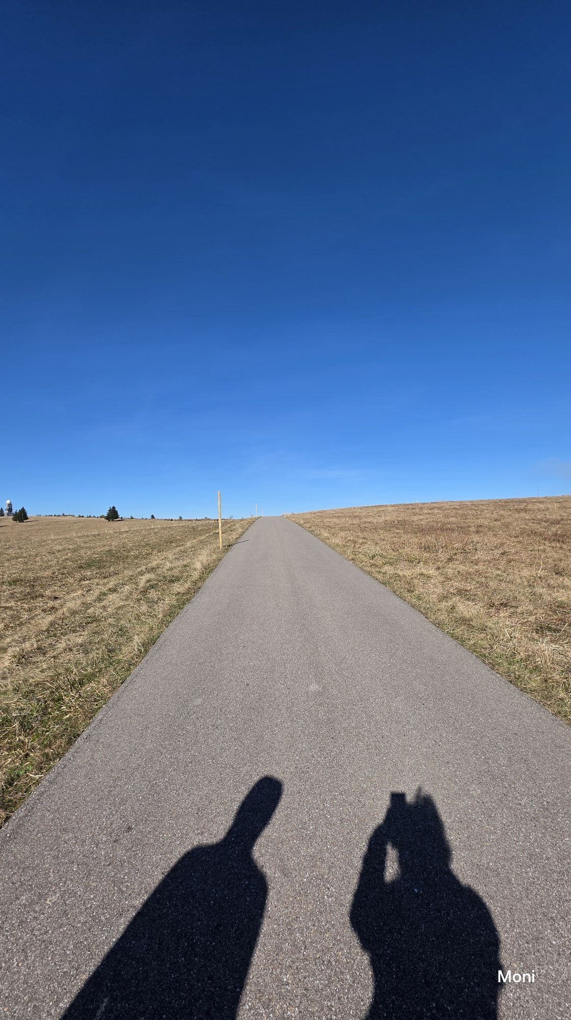
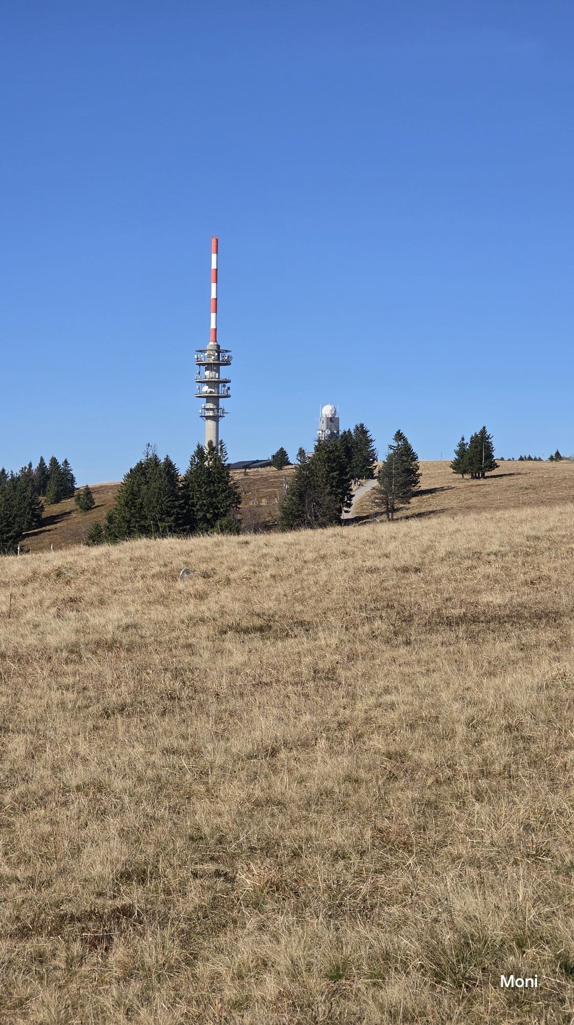
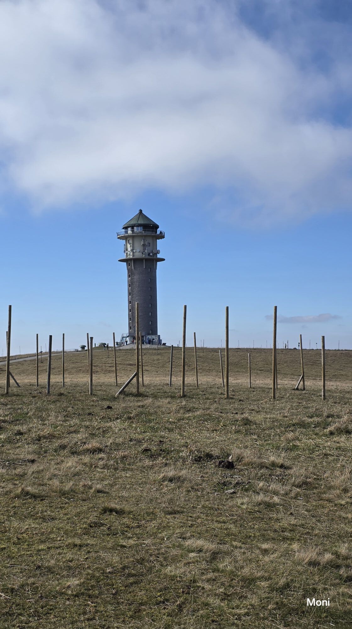
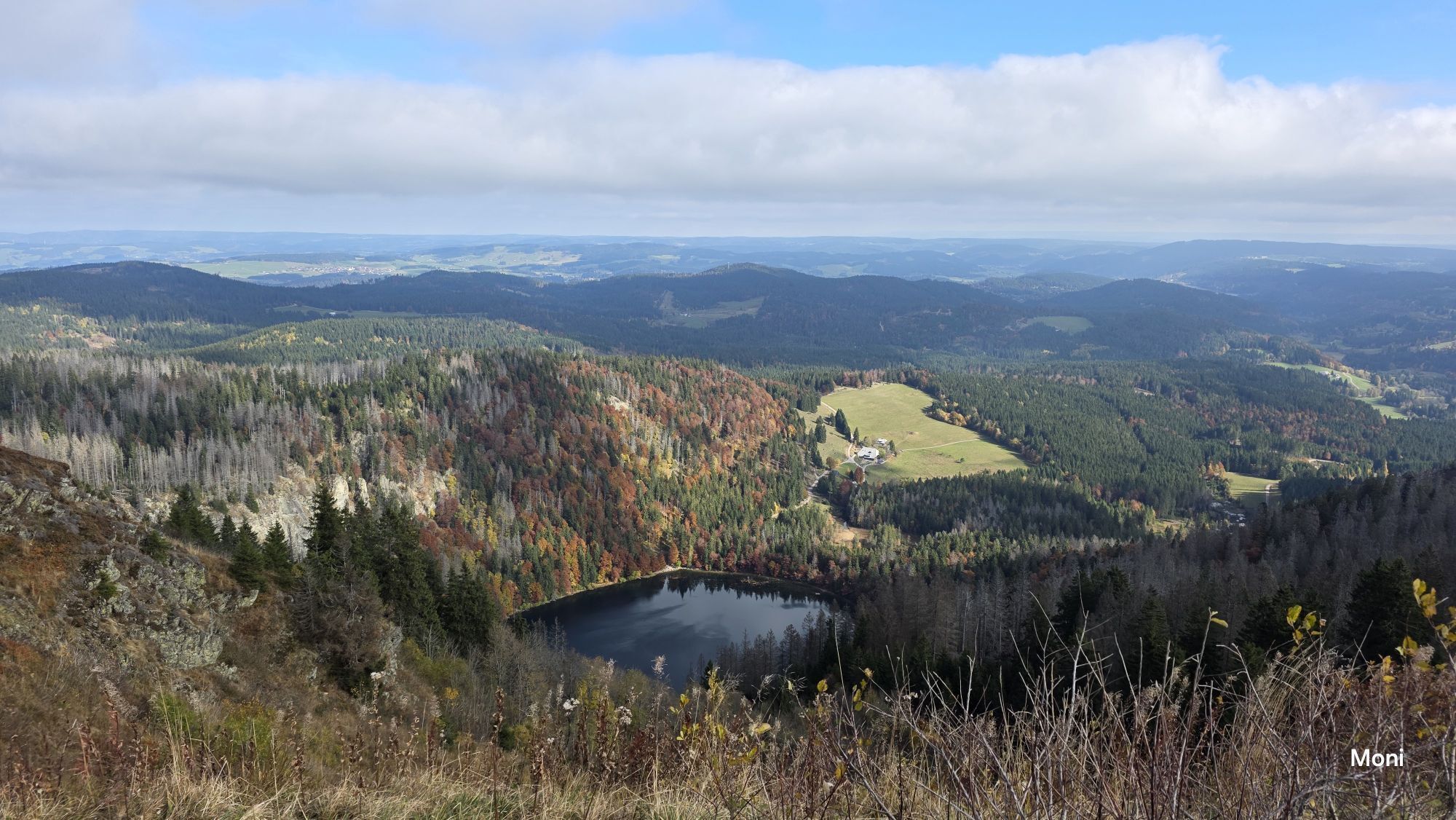
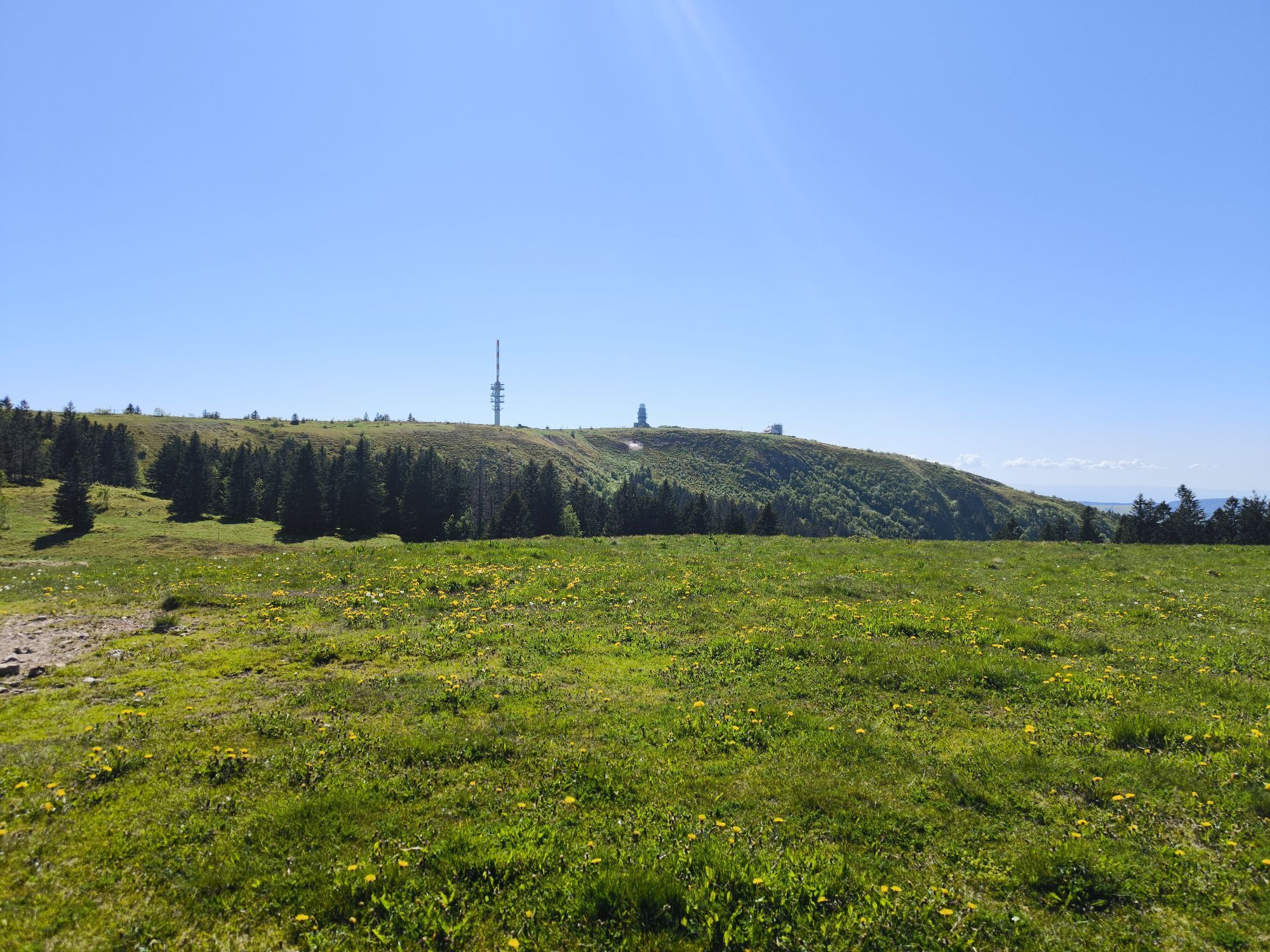
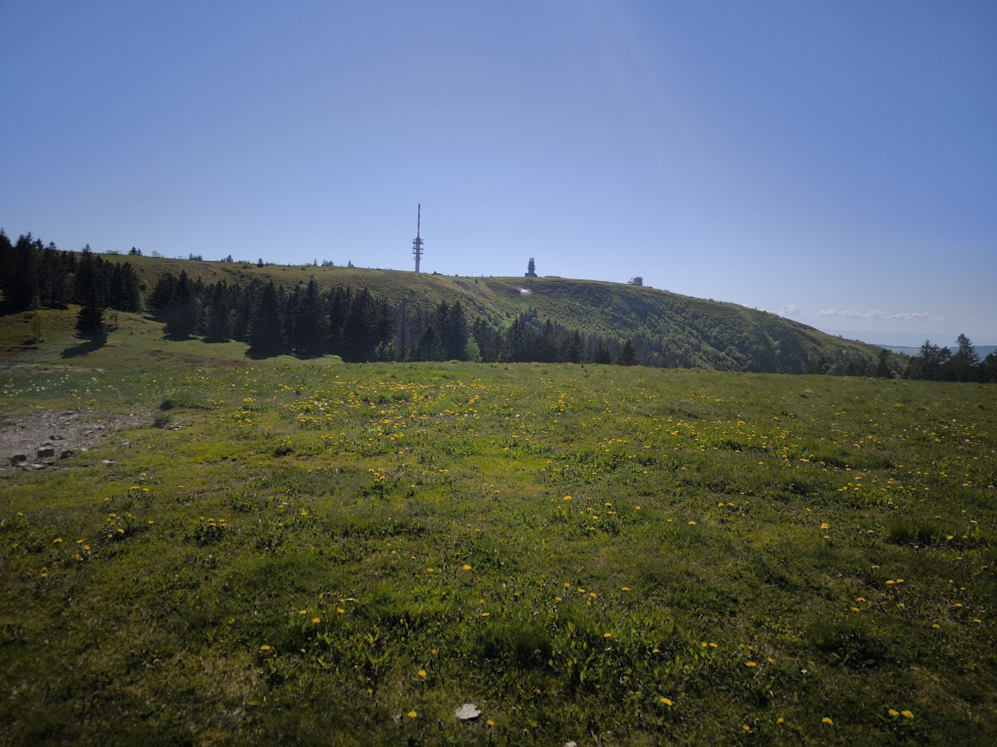
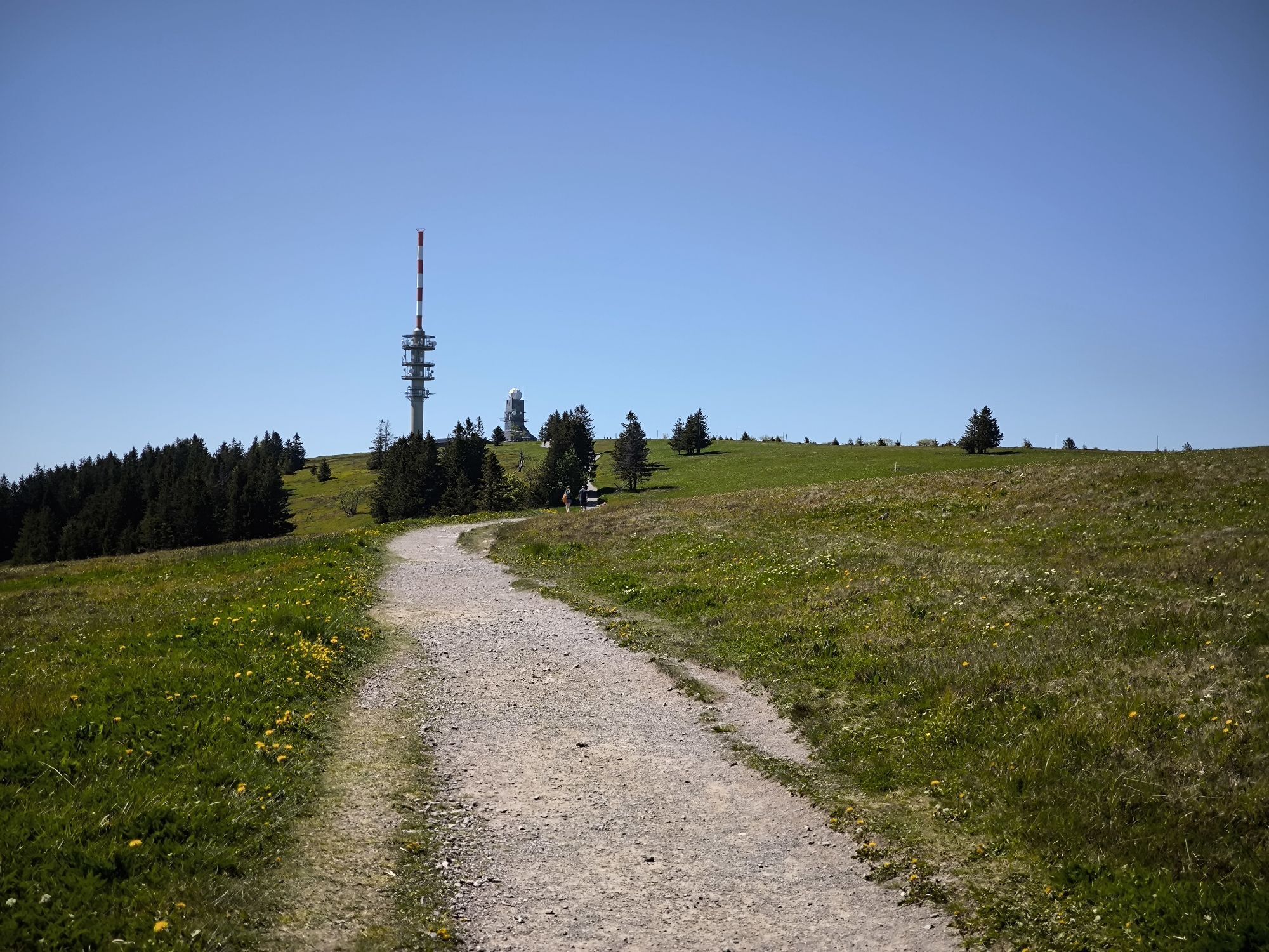
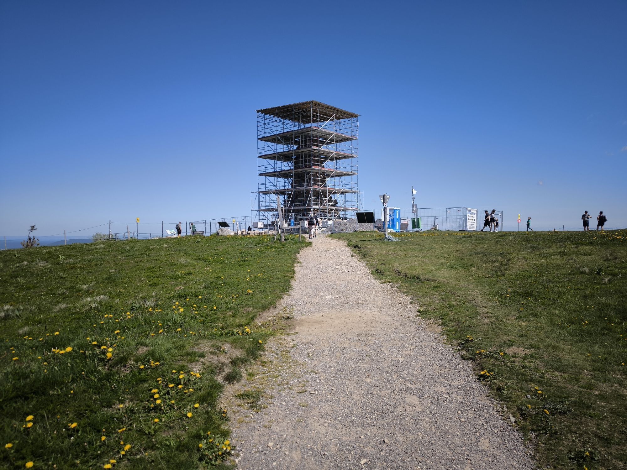
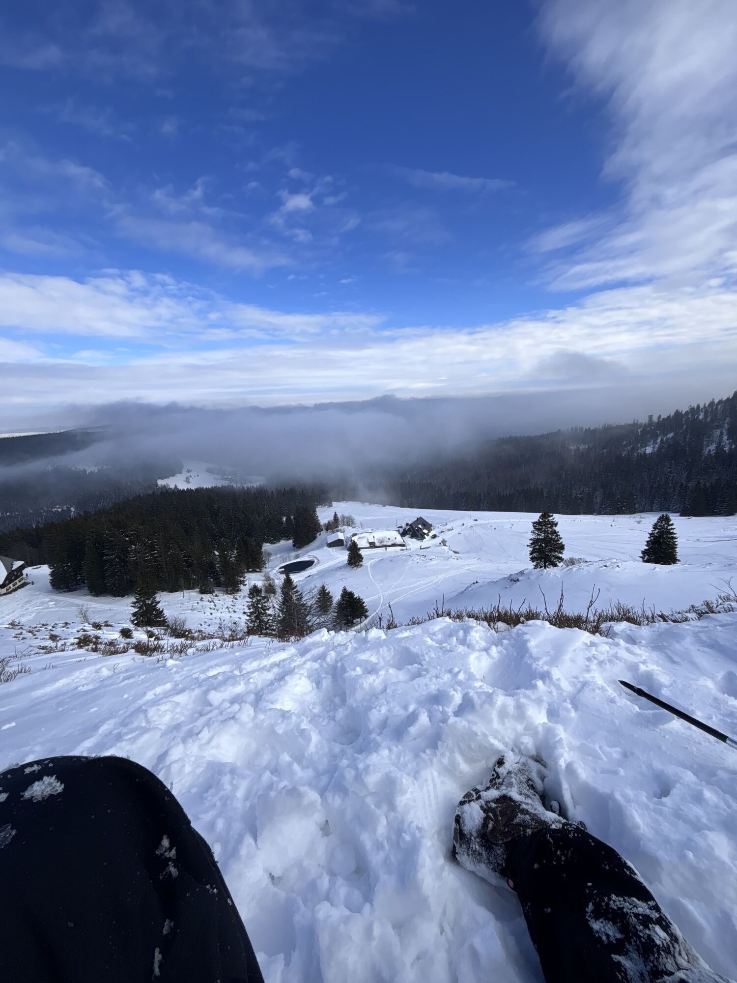
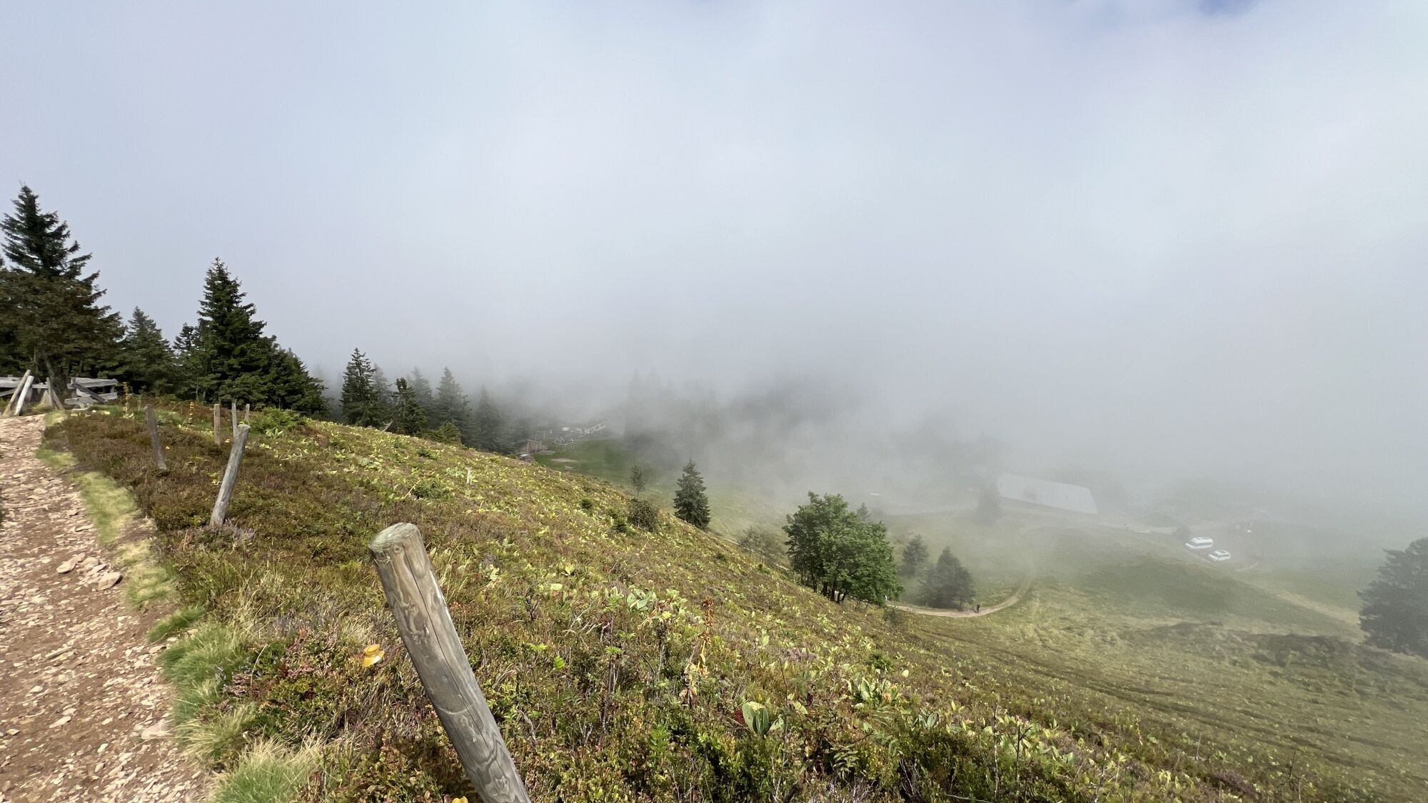
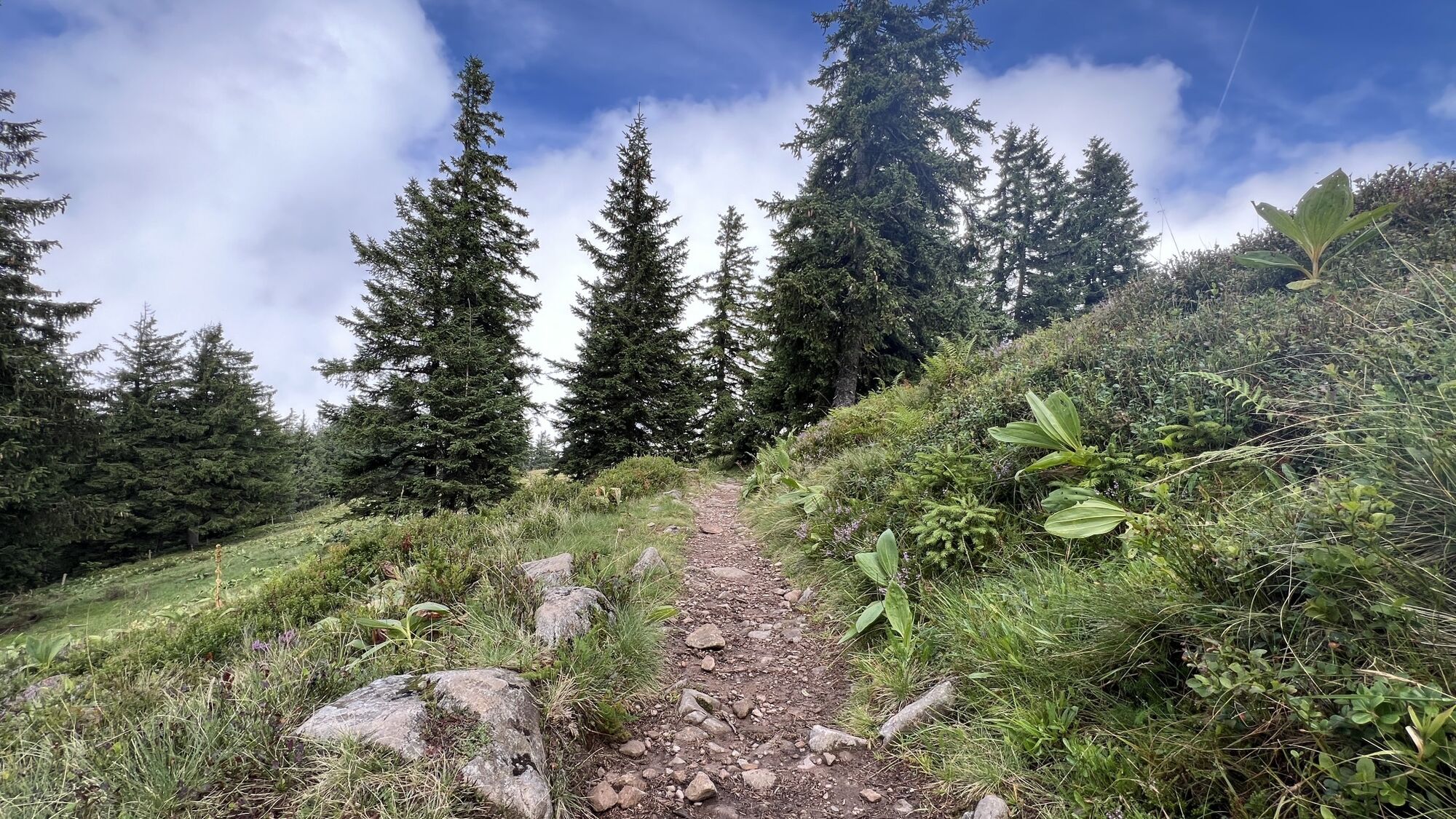
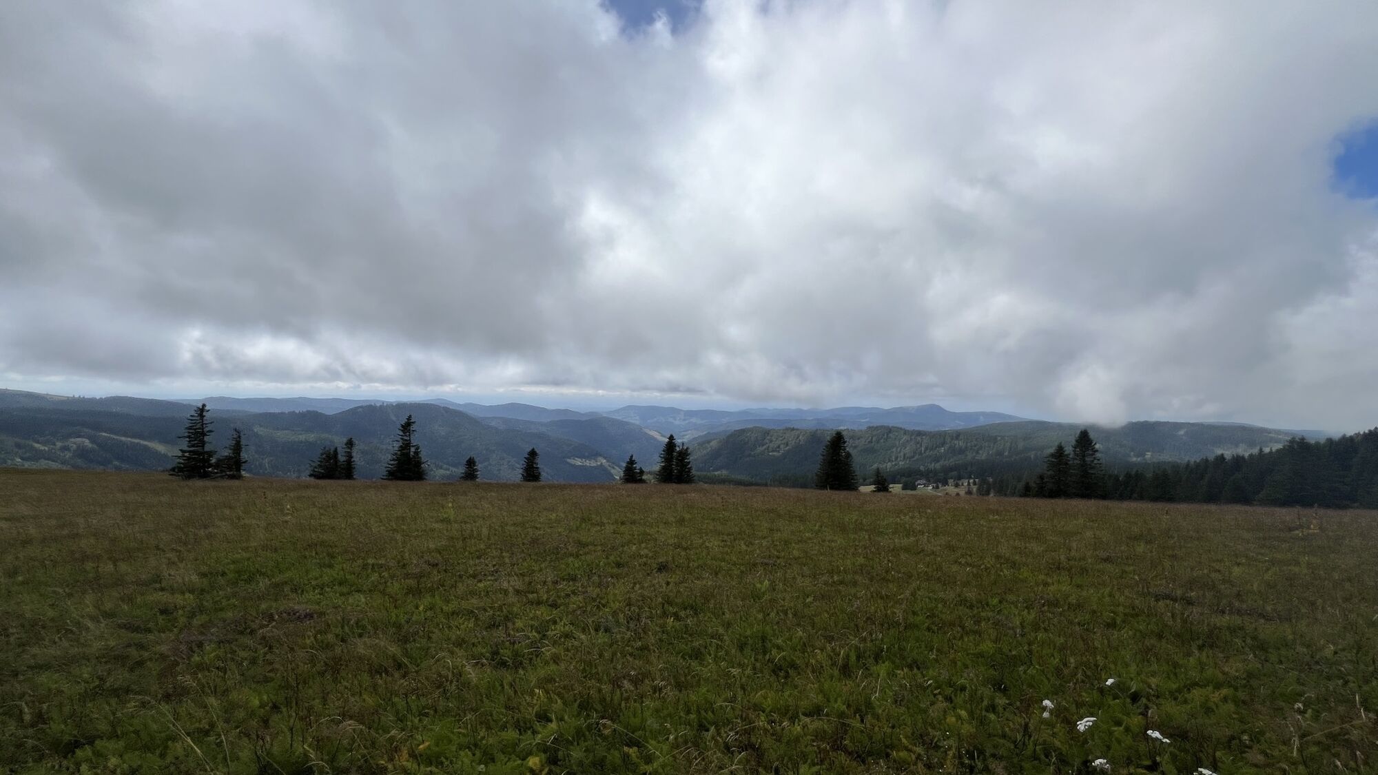
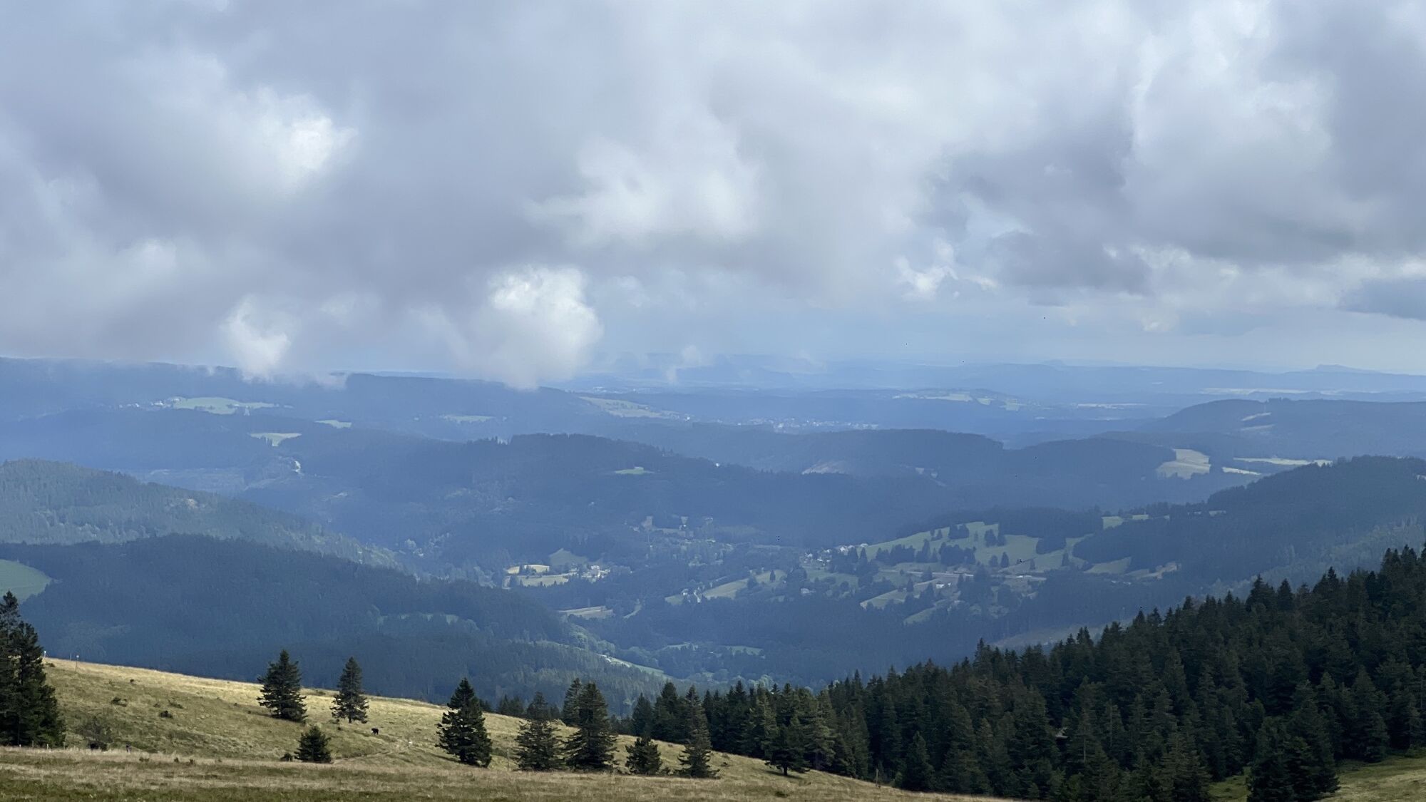
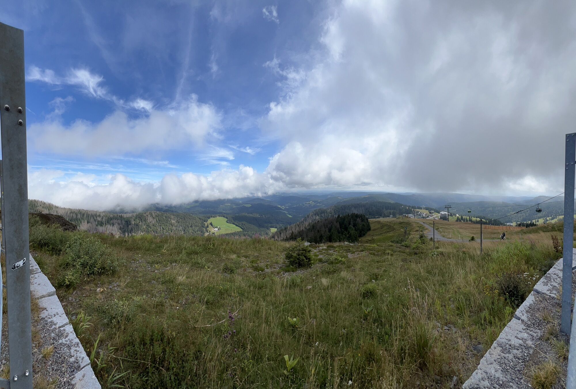
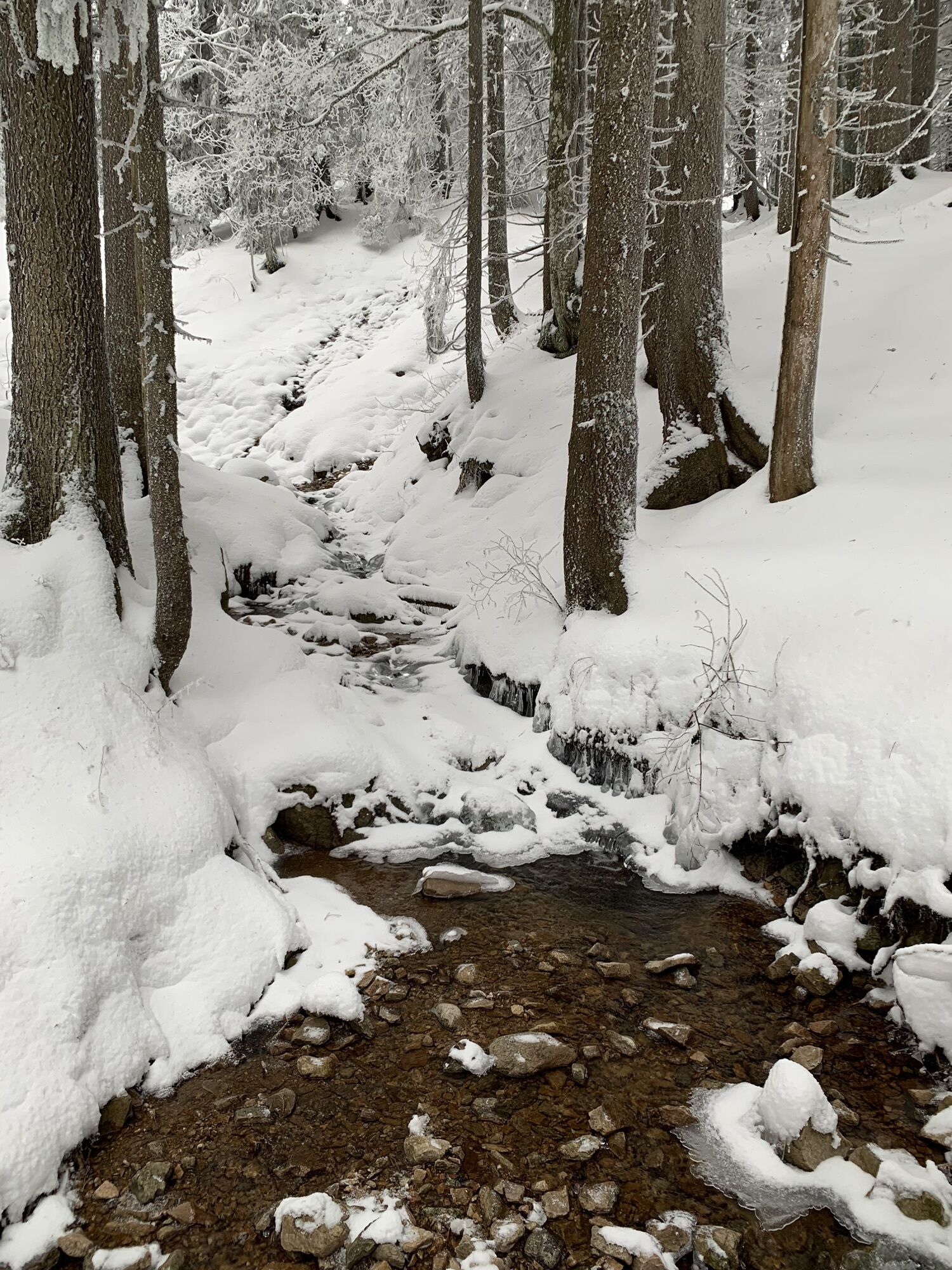
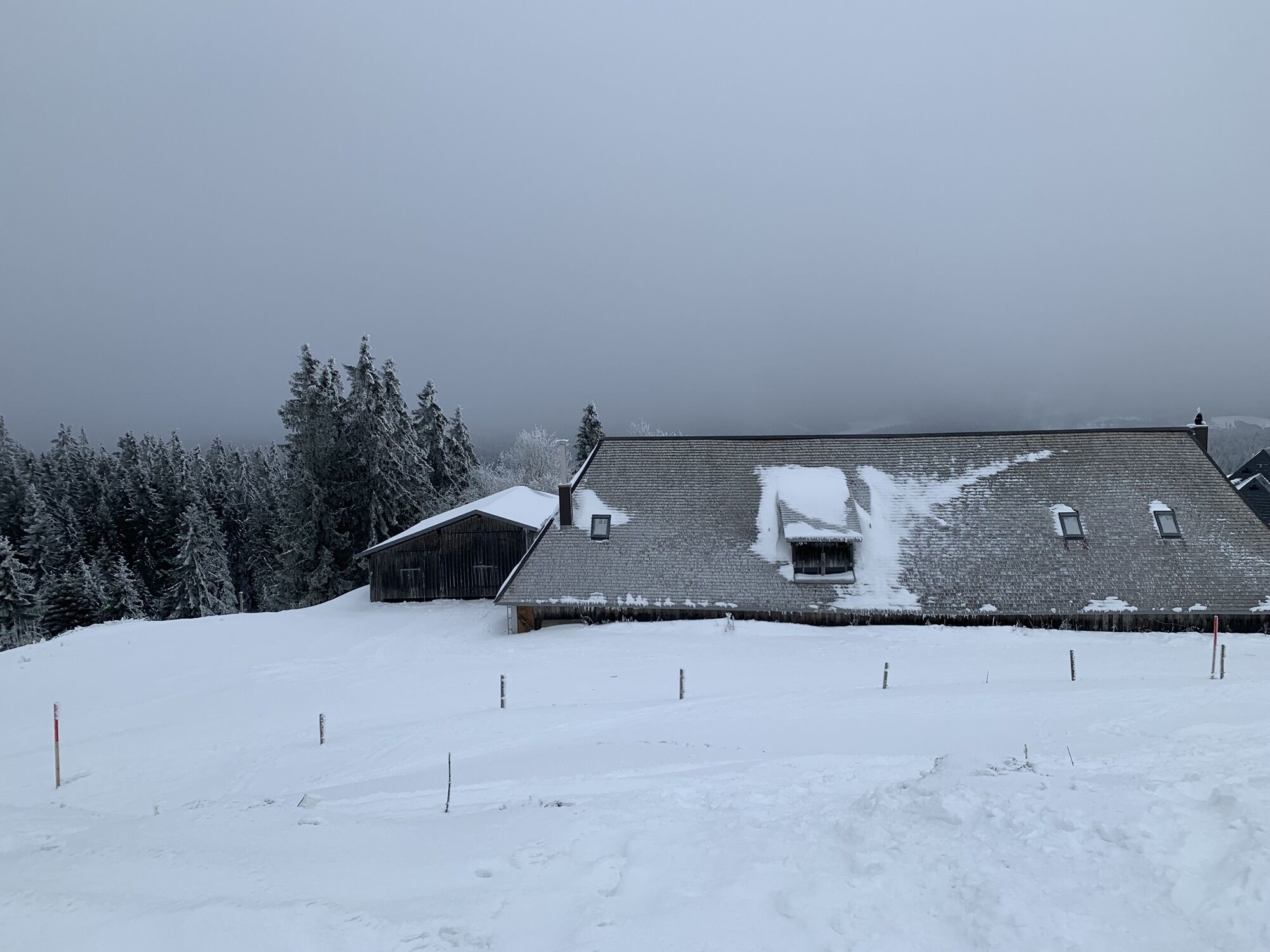
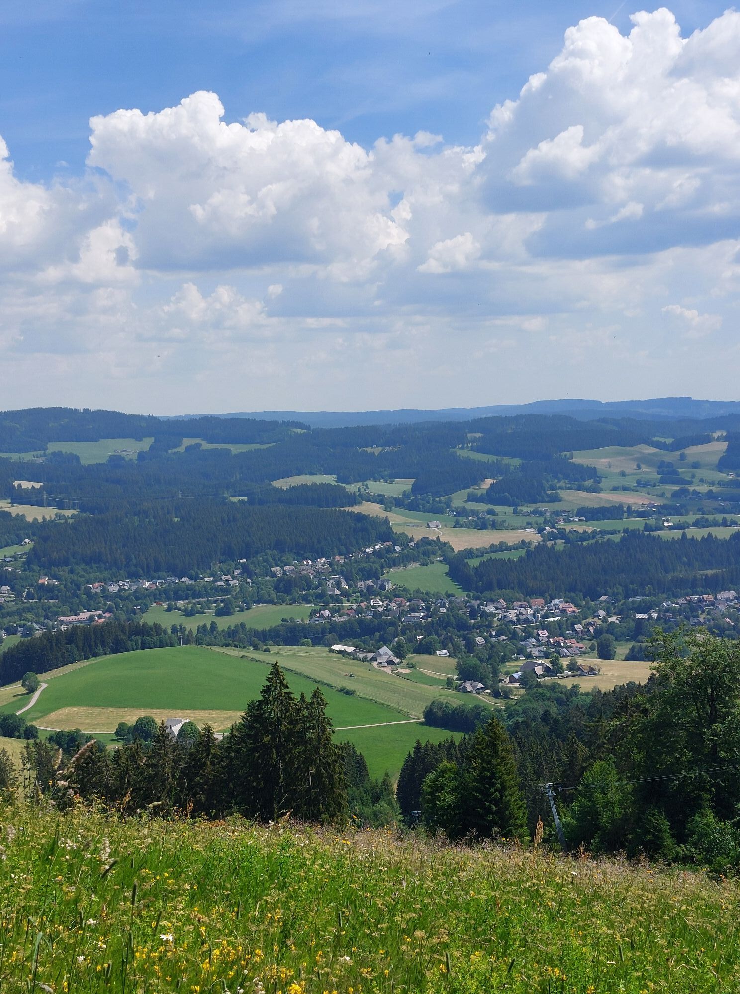
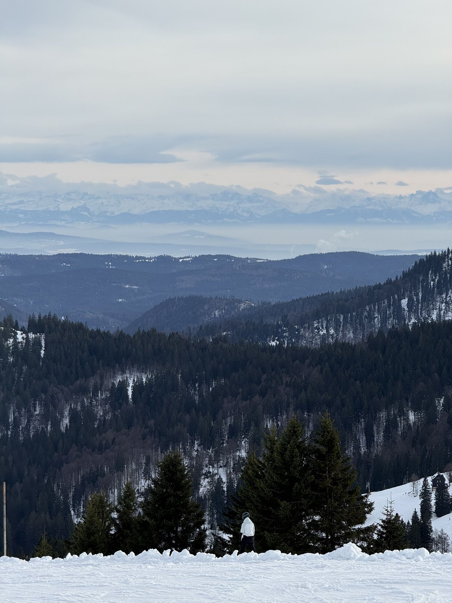
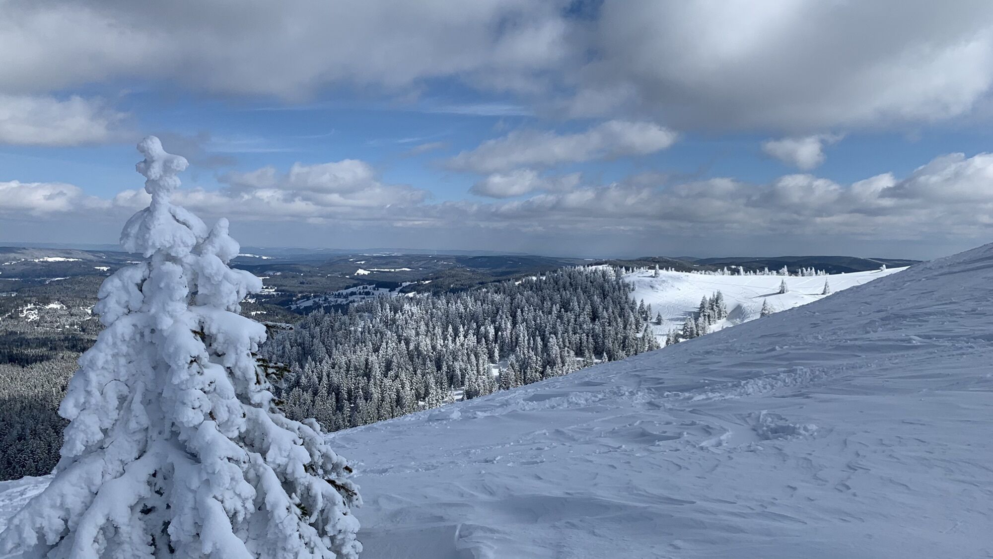
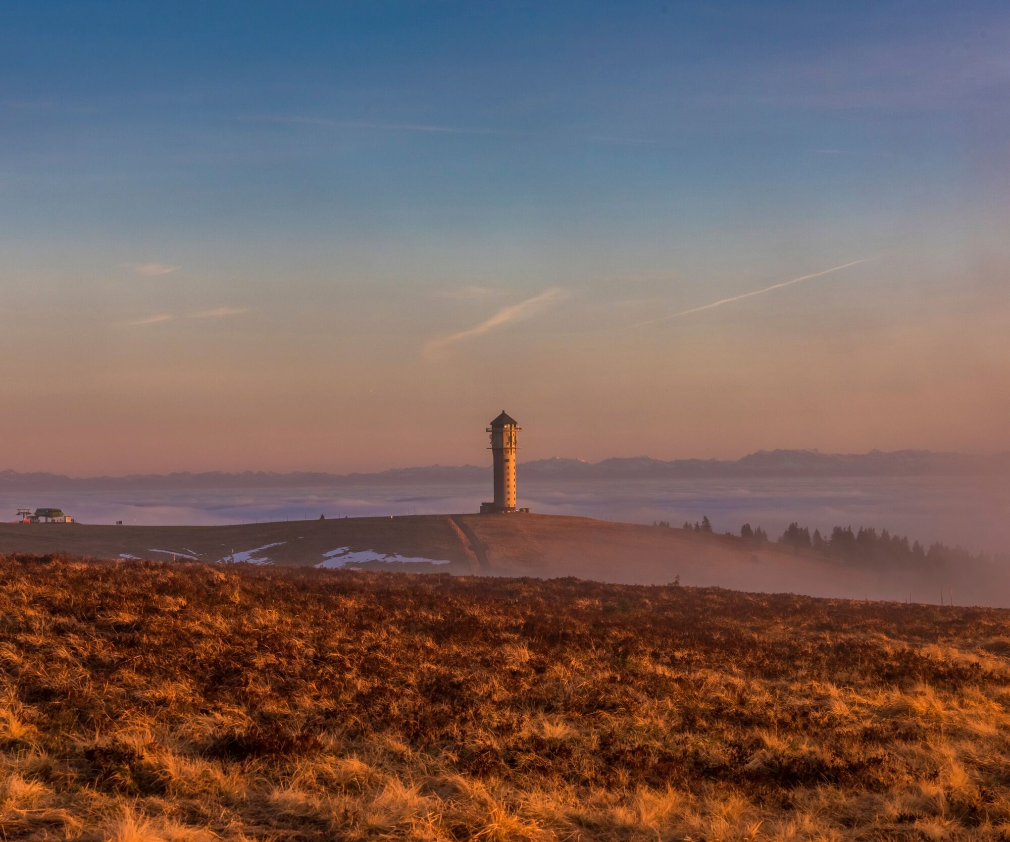
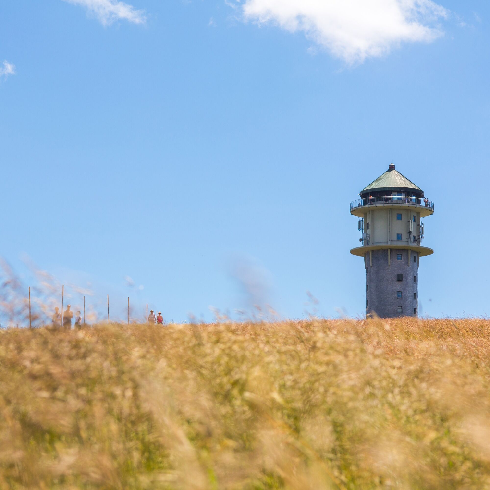
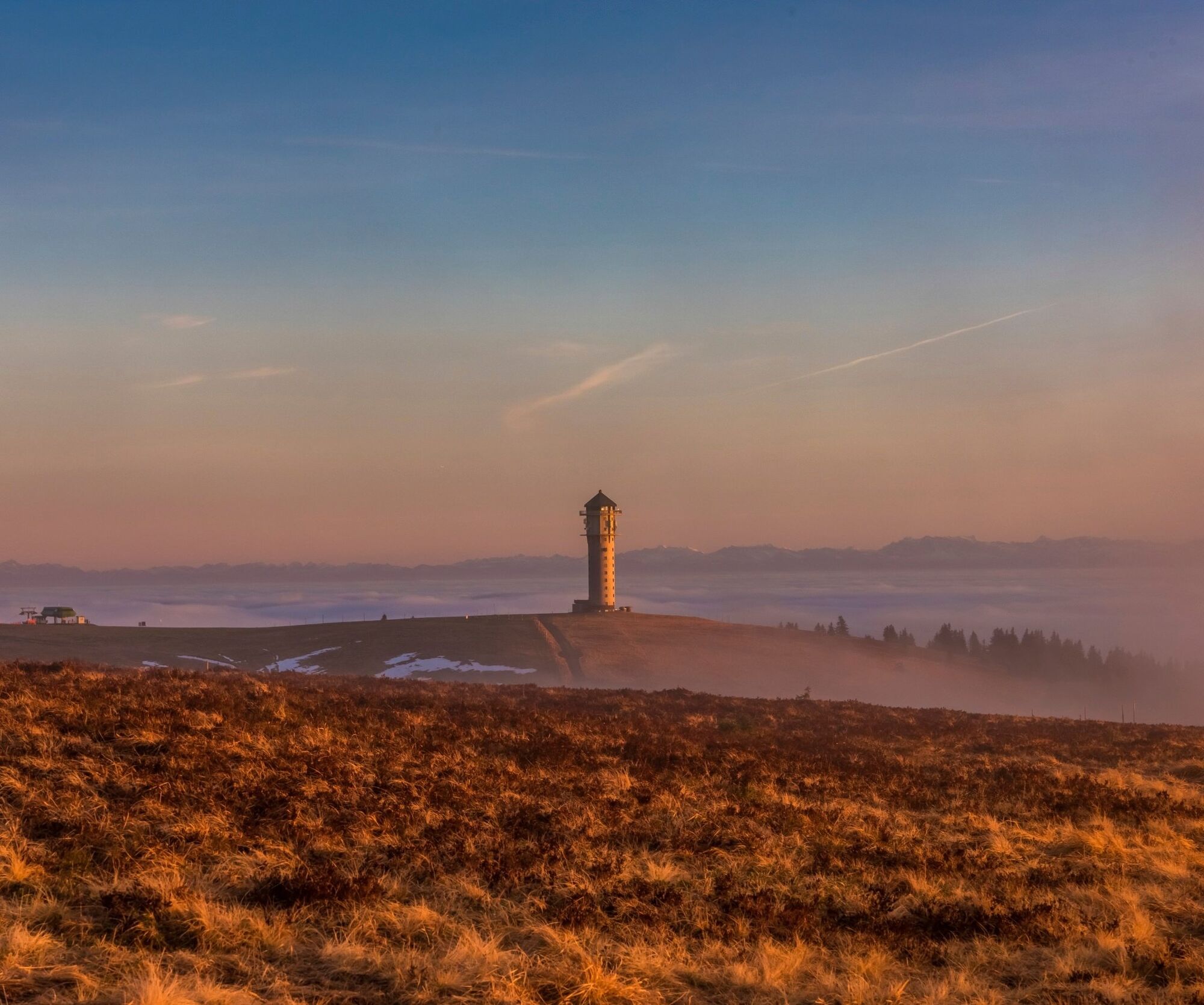
From Hinterzarten it goes high on the Feldberg. There we meet the Bismarck monument and the Feldberg tower (1495 m). For the way back there are two options to choose from. Either we descend on the nature...
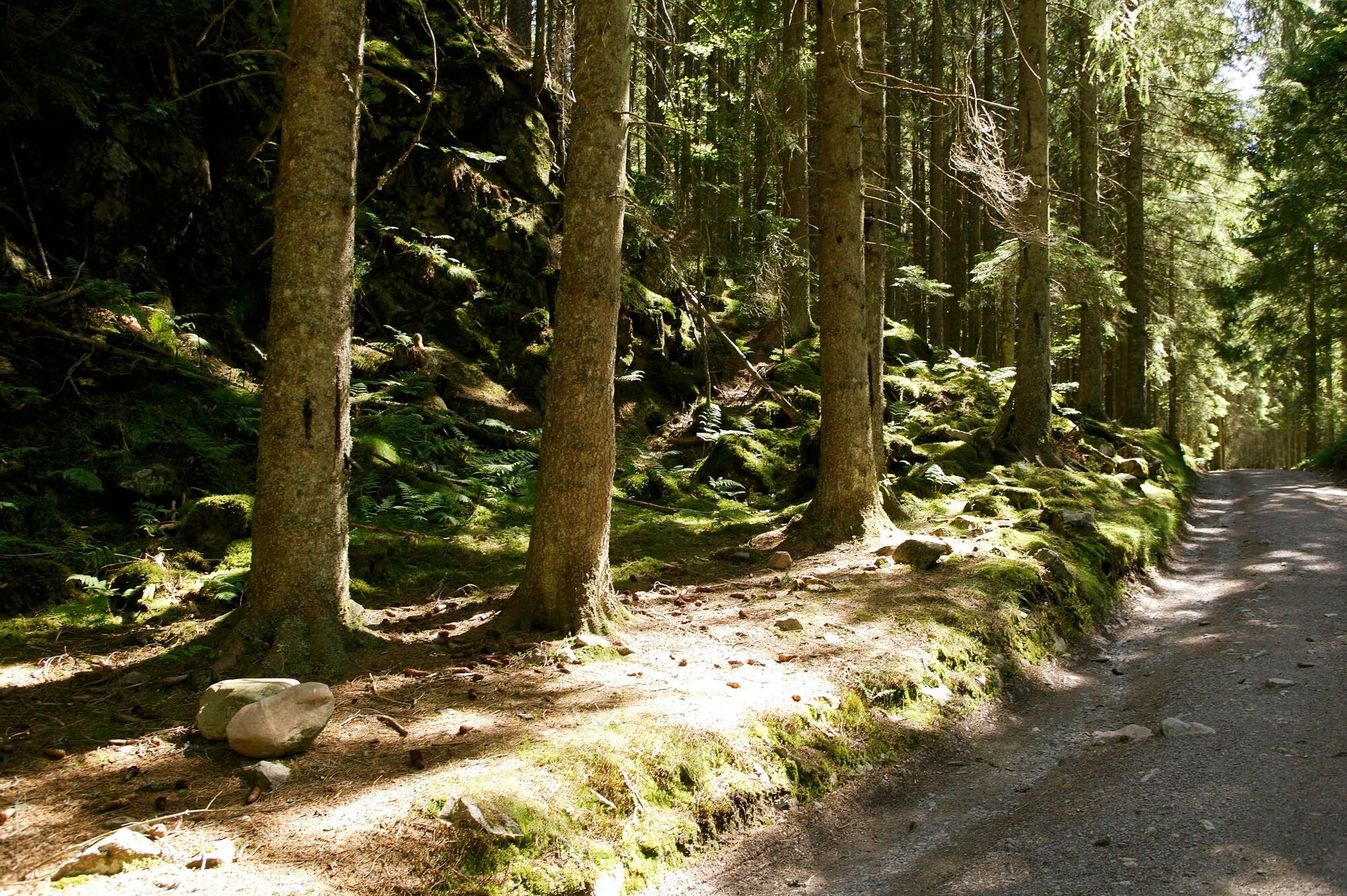
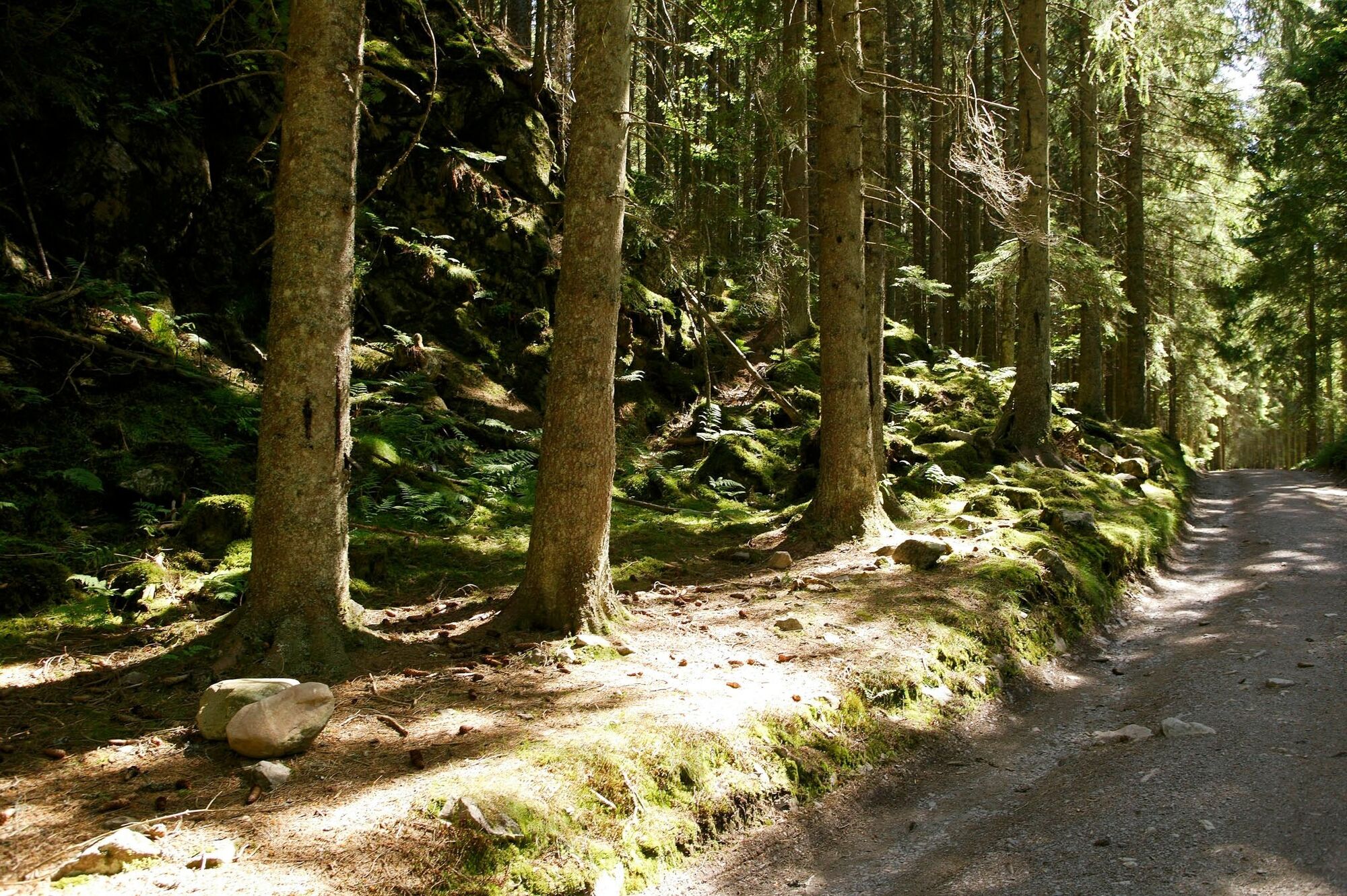
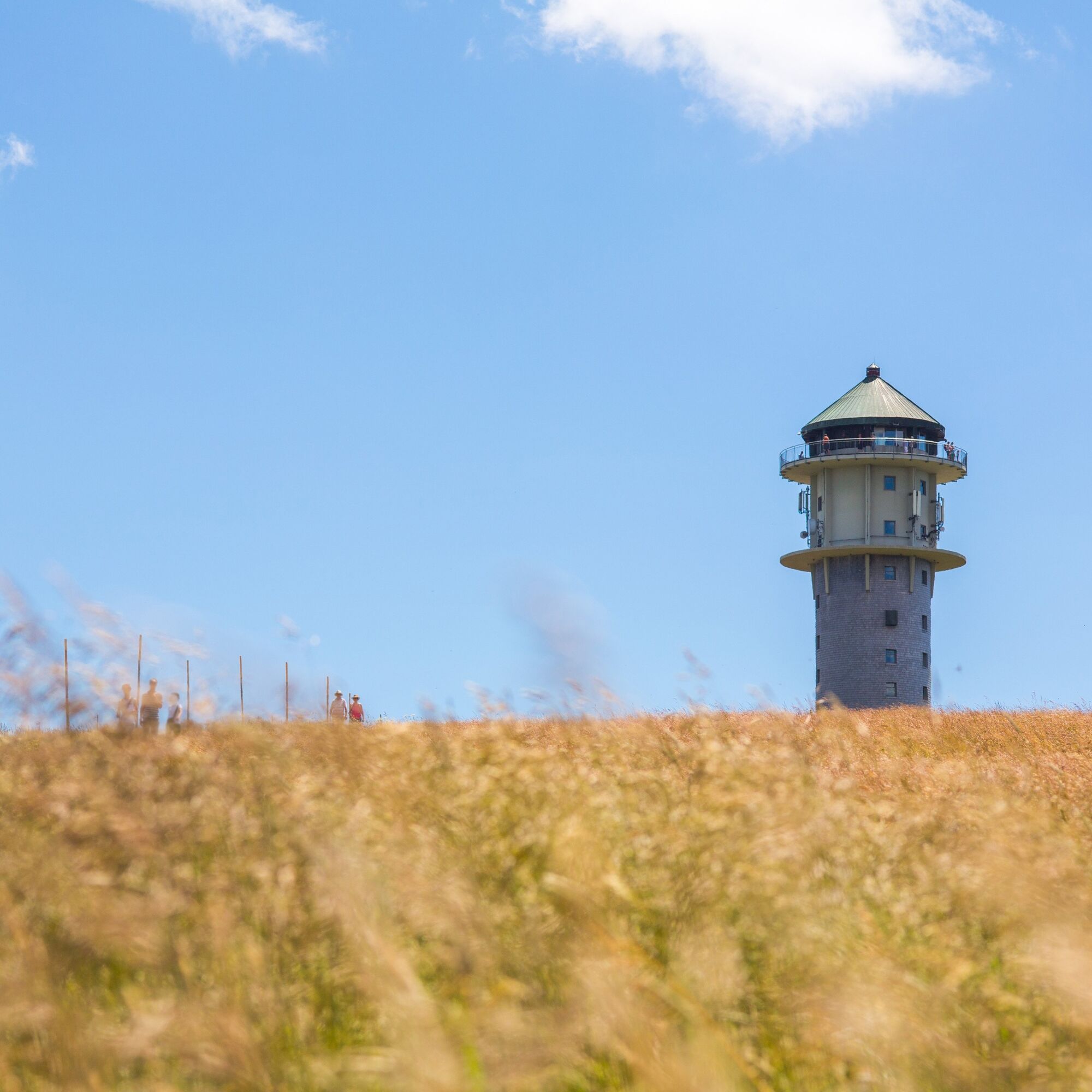
From Hinterzarten it goes high on the Feldberg. There we meet the Bismarck monument and the Feldberg tower (1495 m). For the way back there are two options to choose from. Either we descend on the nature trail in the direction of Zastler hut or we stay on the ridge and later go down towards Baldenweger hut. After a fortifying stop then it goes on the Wieswaldkopd back to Hinterzarten. Here you can watch with a little luck and a lot of peace Auerhähne.


Ano
Ano
Wir empfehlen festes Schuhwerk!
B31 to Freiburg, exit B500 to Triberg/Furtwangen/St. Märgen/Breitnau/ Hinterzarten
Train 727/728 from Neustadt/Schluchsee to Freiburg, get off at Hinterzarten
Kurhaus Hinterzarten, Freiburger Str. 1, 79856 Hinterzarten
Keep your eyes peeled! The Feldberg region is home to the Carline thistle! A perfect snapshot!
Webové kamery z prohlídky
-
Feldbergturm Seebuck Gipfel
-
Todtnauberg - Pension Glöcklehof
-
Feldberg - Falkau
-
Feldberg - Grafenmatt I
-
Seebuck Bergstation
-
Seebuck Talstation
-
Titisee - Hotel Brugger
-
Hinterzarten - Ferienhaus Carola
-
Hinterzarten - Adlerschanze
-
Hinterzarten - Adler-Skistadion
-
Breitnau - Eckerhof
-
Feldberg - Opelhaus
-
Menzenschwander Hütte - Feldberg
-
Bergstation Mösle - Menzenschwand
-
Skilift Schwinbach - Menzenschwand
-
Menzenschwander Hütte - Feldberg
-
Skilifte Stollenbach
-
Stollenbach
-
Todtnauer Hütte
-
Titisee - Fewo Titiseeblick
-
Feldberg - Fahl
-
Todtnauberg Stübenwasenlift
Získejte přehled
Vždy živě na místě s více než 9 500 webkamerami. bergfex Jako uživatel Pro si nyní můžete zobrazit odpovídající webové kamery pro mnoho prohlídek v aplikaci prohlídky z. Můžete si tak přímo prohlédnout aktuální podmínky.

Oblíbené prohlídky v okolí
-
4.7
Black Forest Highlands heritage trail - mills and saws in the gorge
středníTuristika 7.42 km -
3.8
Seerundweg Titisee
světloTuristika 5.84 km -
4.2
Belchensteig
středníTuristika 14.8 km -
4.1
Höhenklimaweg Titisee-Rundweg
středníTuristika 7.44 km -
3.9
From Titisee to the Hochfirst with its stunning views
středníTuristika 10.6 km -
3.8
Premium Hiking Trail- Säbelthomaweg
středníTematická stezka 11.3 km -
4.2
Ravennaschlucht
Turistika 6.90 km -
4.8
Sonnenaufgang und Feldbergsteig
středníTuristika 11.6 km -
4.0
Altitude on the Herzogenhorn
středníTuristika 11.1 km -
5.0
Premium Hiking Trail - Menzenschwander Geißenpfad
středníTematická stezka 9.78 km
Pěší turistika a stopování


Nenechte si ujít nabídky a inspiraci pro vaši příští dovolenou
Vaše e-mailová adresa byl přidán do poštovního seznamu.





