


Trekking Camp Erdbeerloch - Camp Seibelseckle

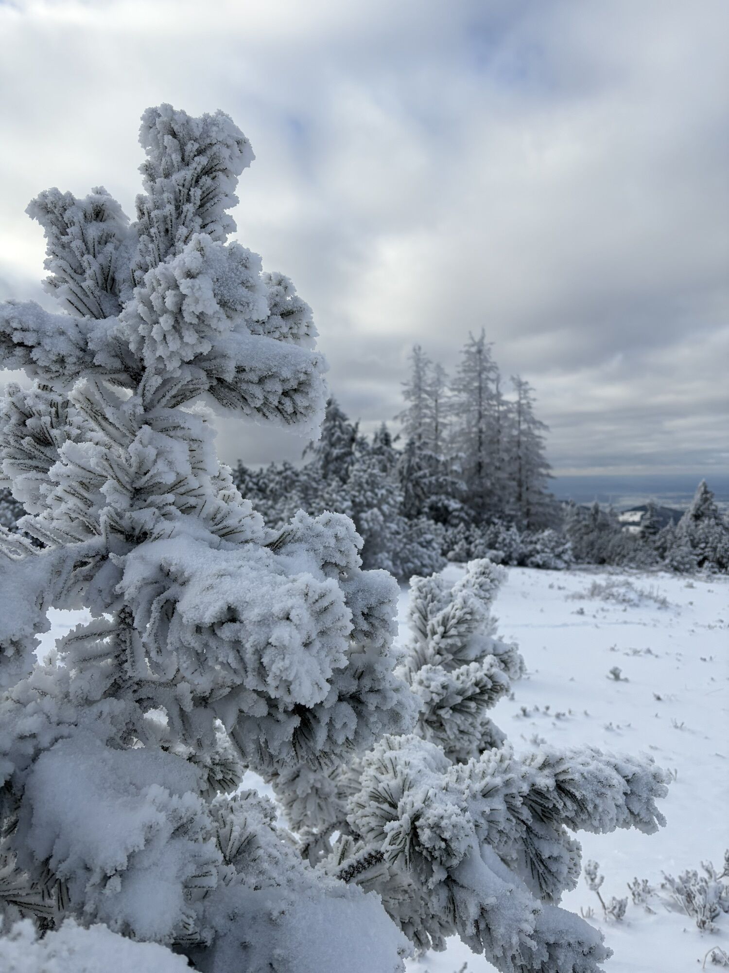


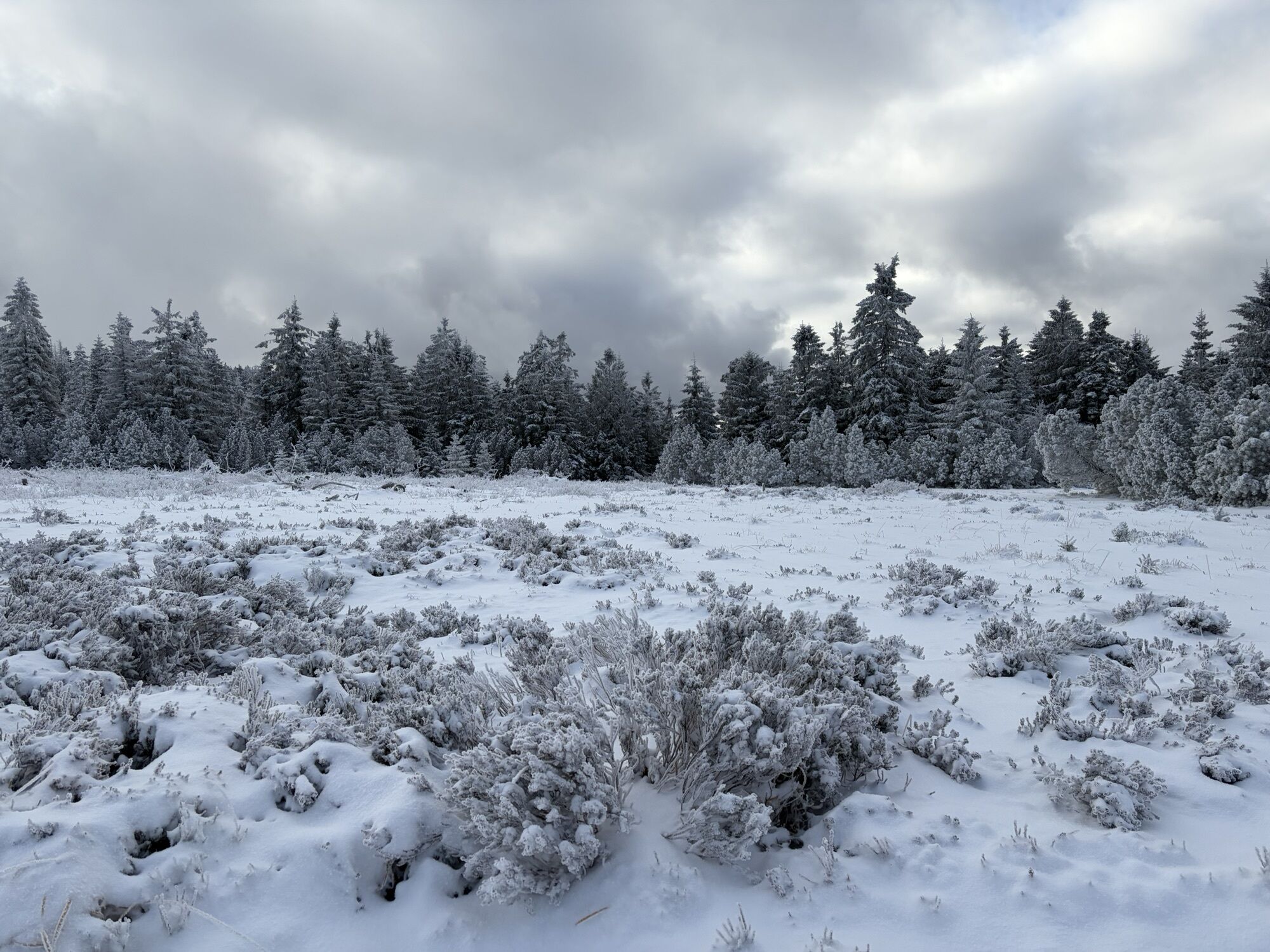
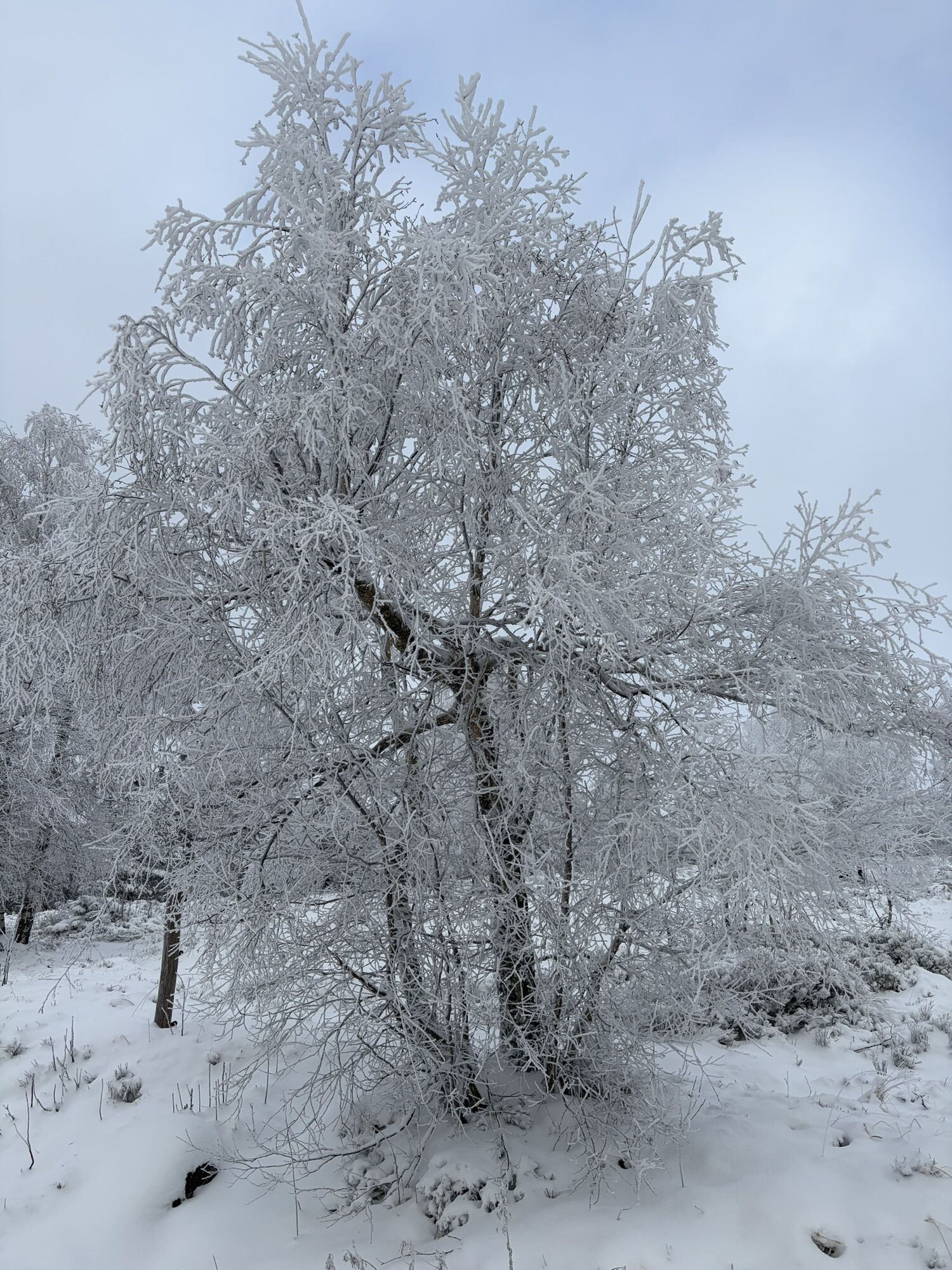
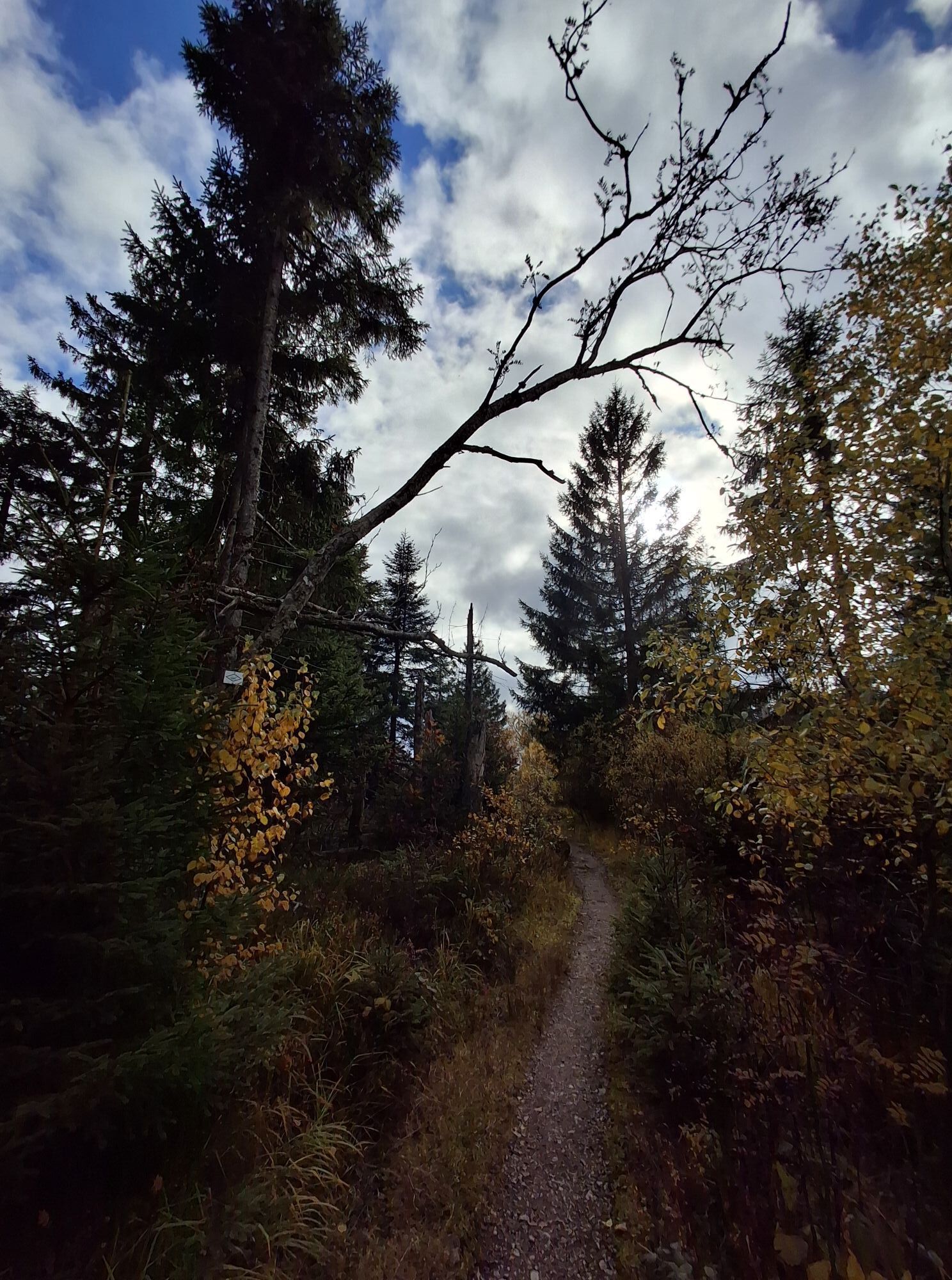
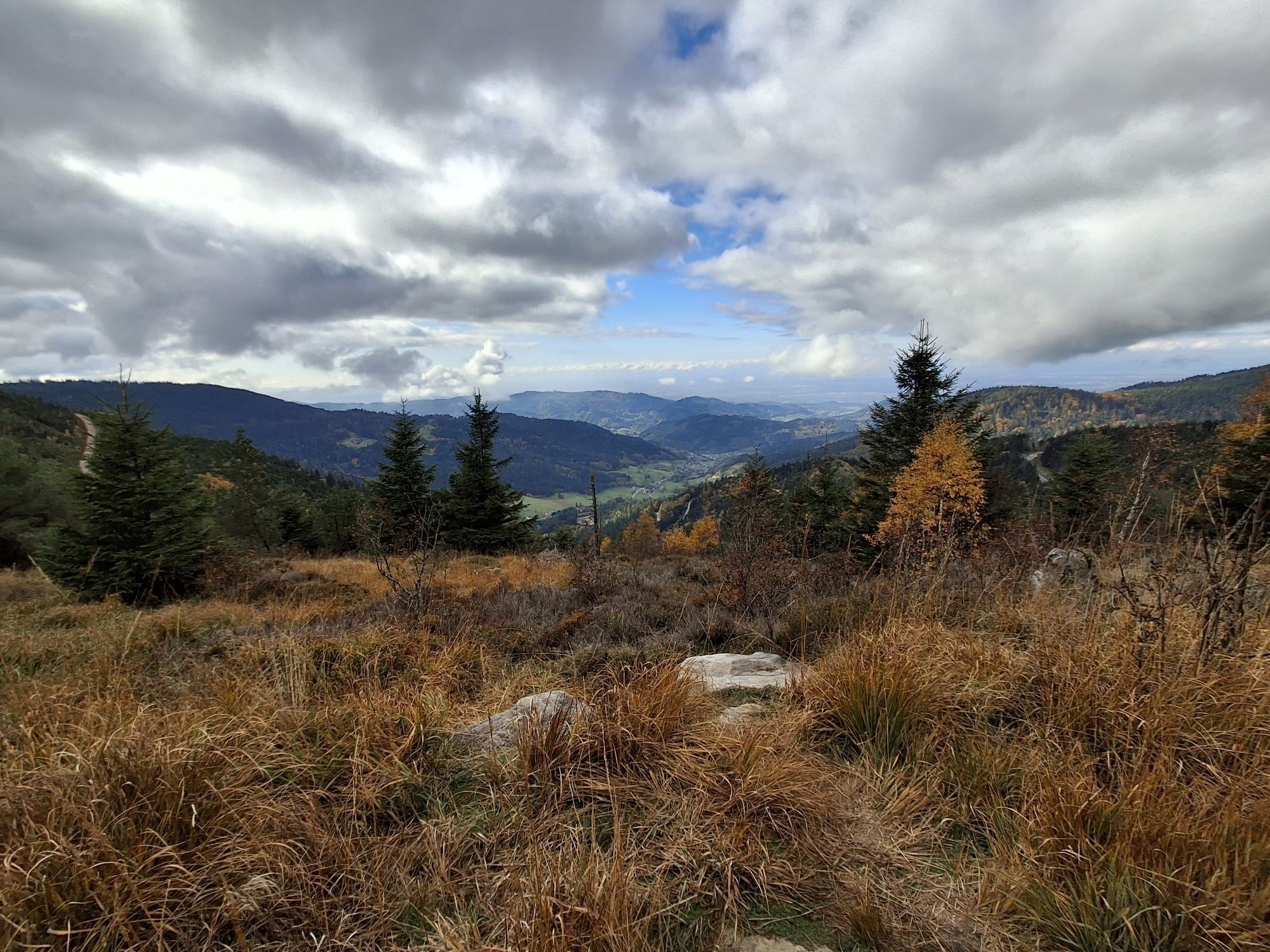
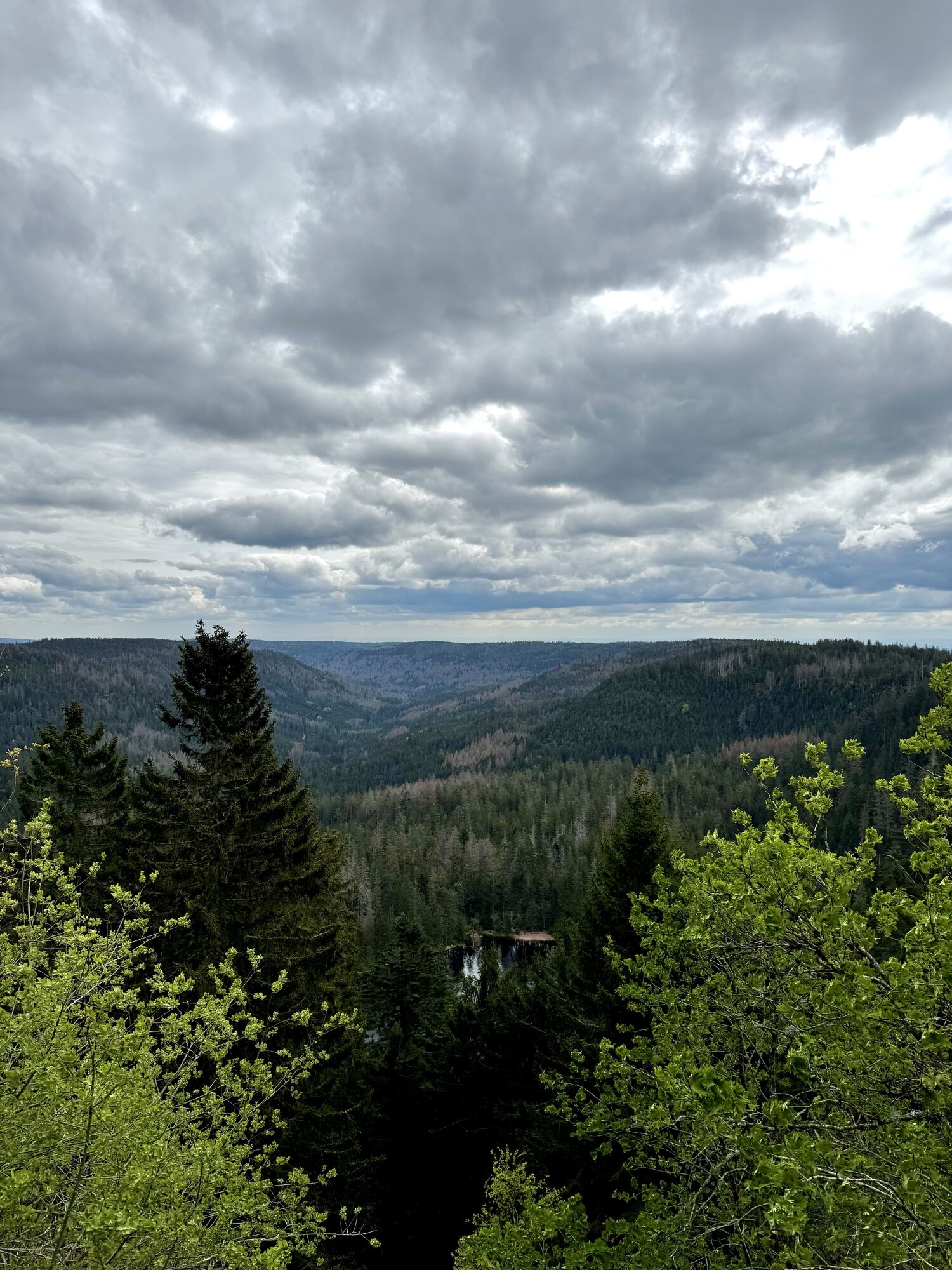
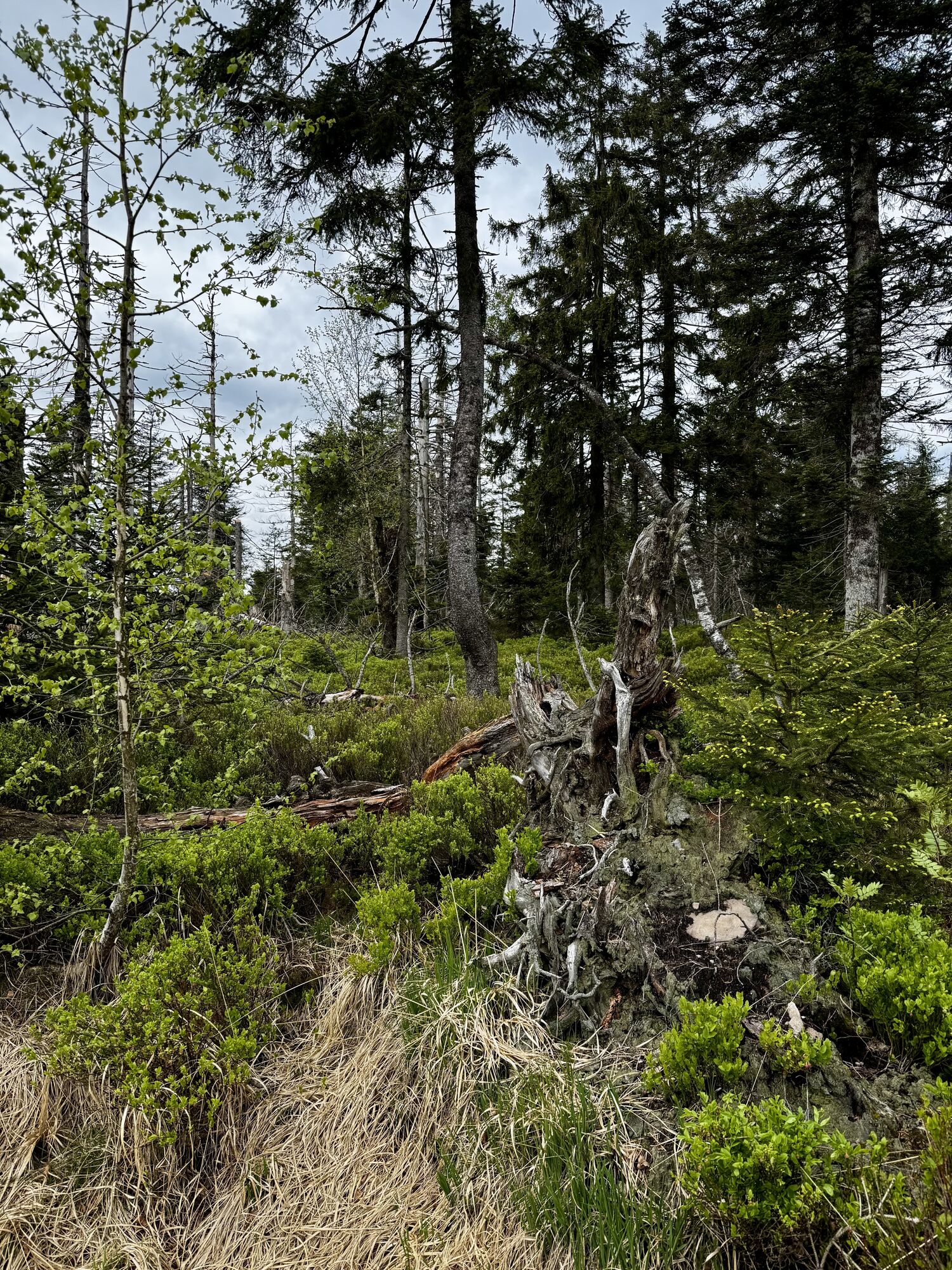

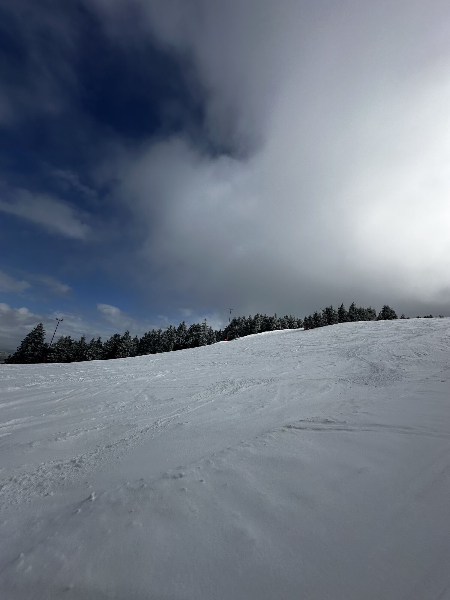
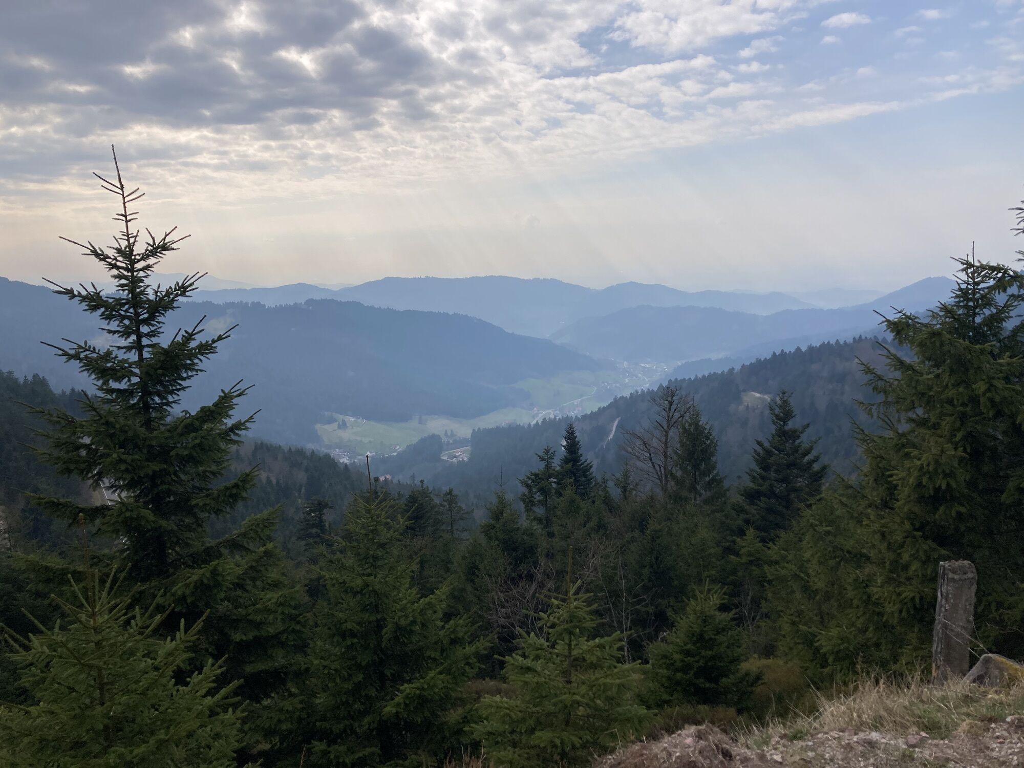
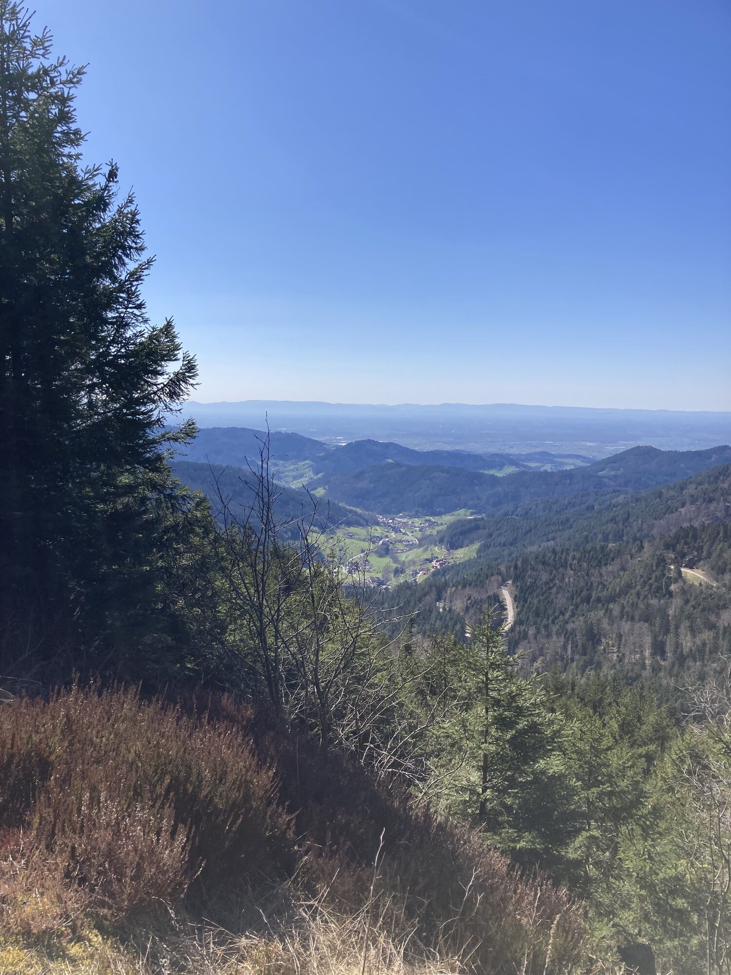
Narrow paths, heathland, dead trees in the protected forest, flat sandstone rocks: The hiking trail from Schliffkopf to Seibelseckle leads variedly through the primeval landscape of the Grinden of the...
Narrow paths, heathland, dead trees in the protected forest, flat sandstone rocks: The hiking trail from Schliffkopf to Seibelseckle leads variedly through the primeval landscape of the Grinden of the Northern Black Forest. Ruhestein, Wildseeblick (descent to Wildsee possible) and Darmstädter Hütte are the prominent destinations along the way.
From Brandhütte it is not far to Camp Seibelseckle (detailed description will be provided with the booking confirmation).

On the Renchtalsteig via Jakobshütte to Schliffkopf. From there on the Westweg via Schweinskopf and Vogelskopf to Ruhstein (approx. 3.5 km).
Alternative: Those who prefer it quieter can reach Ruhestein from the signpost "Hübscher Platz" below Schliffkopf on the Seensteig variant. From the Rote Schliff via the slope path to Melkenteichhütte. From there on a challenging and wild path to Ruhestein (approx. 6.5 km).
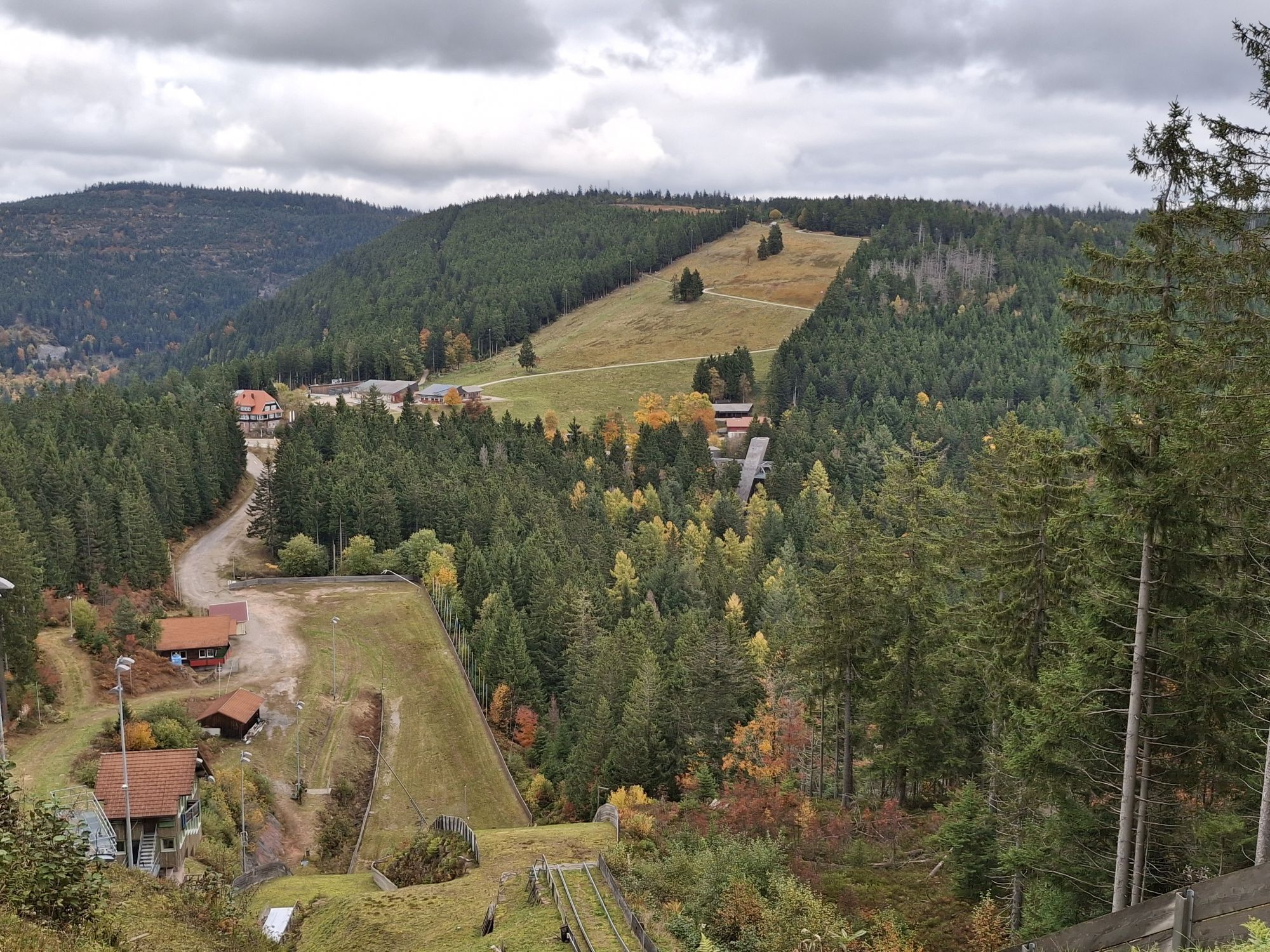
From Ruhestein on the Westweg and Seensteig via Wildseeblick to Darmstädter Hütte.
Detour: At the signpost "Wildseewegle," the descent to Wildsee is possible, only for experienced and sure-footed hikers, approx. 1.0 km.
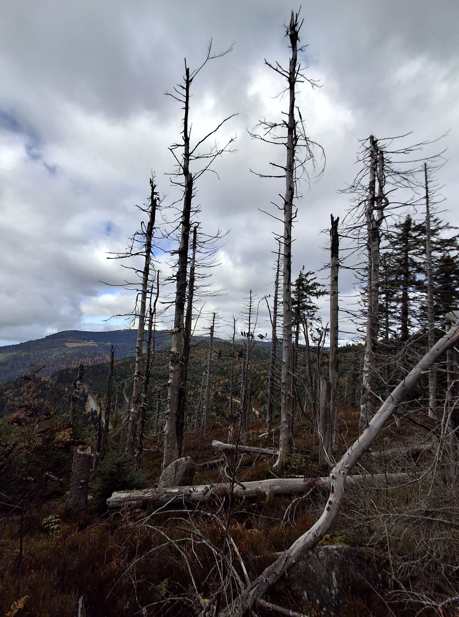
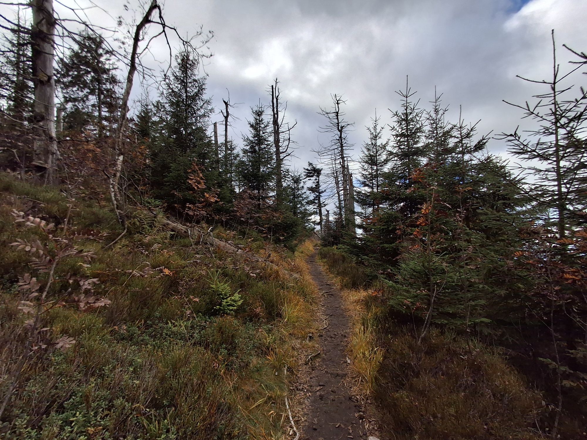
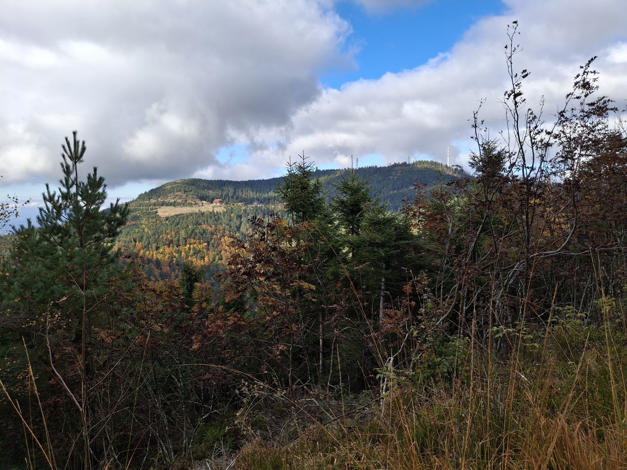
From Darmstädter Hütte on the Seensteig through the protected forests at Altsteigerskopf to Seibelseckle. From there straight ahead (not right) follow the hiking trail towards Hinter Langenbach to Brandhütte (yellow rhombus).
For a trekking tour in the Black Forest, you generally don't need extensive expedition equipment. However, you should be well prepared and carry the essentials. Therefore, we have put together a few equipment tips.
Hiking maps
The Black Forest has an extensive and very well-marked network of trails. Our tour suggestions mainly lead over narrow paths that do not always connect the camps directly. We therefore recommend carrying a suitable hiking map that shows other sights, roads, and important points. You can find a selection of suitable hiking maps in our nature park shop.
GPS
With the booking confirmation, you will receive a detailed route description for the respective camp. In addition, each site has GPS coordinates (UTM WSG 84). For safety reasons, we therefore recommend a GPS device. Especially in summer months, with dense shrubbery, it can be more difficult to find the camp straight away.
Booking confirmation
With your booking, you will receive an invoice, terms and conditions, and the booking confirmation via email. The booking confirmation also contains the last mile route description and the access code for the toilet cabin. The booking confirmation must be shown on request to the caretaker of the respective site as well as employees of the forestry administration.
Water
There is no water connection at the camps! Also, the surrounding streams do not provide drinking water or are often dried up in the summer months. So take enough water with you and replenish it along the way. Better a few liters too many! Also think of water for cooking and washing. 4-5 liters per person per day should be taken along!
Other
The following should also not be missing in the backpack:
Clothing: rain jacket, sweater, and sturdy footwear Sleeping: tent, sleeping mat, sleeping bag Washing: toothbrush, toothpaste, soap, towel, … Supplies: water canister, thermos flask, cutlery, pocket knife, pot, … Health: first aid kit, personal medication, sunscreen, insect repellent, … Toilet paper Garbage bags Mobile phone ID card If needed: camping stove, can opener, tealight, rope, cord, flashlight, …The trekking camps are located away from the towns and can only be reached on foot. Usually, you won't find anything nearby – except wild nature. To ensure that nothing goes wrong with this adventure and the trekking tour becomes a safe pleasure, the most important safety rules should be observed.
Forest fire danger
The main cause of forest fires is careless, negligent behavior in the forest. We therefore ask you to make fires only at the designated fire pit and to observe the rules in the user regulations. Empty glass bottles should not be thrown away as they can also start fires. Current information on forest fire danger can be found at www.dwd.de/waldbrand.
In case of emergency, immediately alert the fire department: emergency number 112
Storms
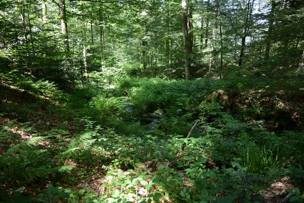
Entering the forest involves risks. Falling branches and slippery forest floor are not uncommon. Particularly during storms, there is a risk of life-threatening injuries.
The use of the natural campsites is at your own risk. No liability is assumed for possible damage, especially from falling branches or uprooting trees in the forest. Every user must inform themselves about storm warnings.
We recommend not using the natural campsites during storm warnings!
The current situation and forecasts can be found at http://www.unwetterzentrale.de/uwz/badenwuerttembergindex.html.
In case of emergency
So that rescue forces from mountain rescue, fire brigade, or Red Cross can quickly find you in an emergency, an information board is placed inside the toilet cabin at each camp, naming the nearest rescue point. Stay calm, provide first aid, and place an emergency call to 112!
Please provide the following information:
Where did it happen? (Name of the camp and the nearest rescue point) What happened? (Type and severity of the injury) How many injured persons are there? Who reports? (Name and own mobile phone number) Wait for questions!If something happens to you on the way, it is important to know that all signposts, together with elevation, have a location name which can be given as the rescue point when placing the emergency call. Through an online tool of the Black Forest Association's digital trail management, the control centers can localize the emergency location even in difficult terrain where street navigation no longer helps. https://www.schwarzwaldverein.de/schwarzwald/wanderwege/wegweiser-sind-rettungspunkte
Nearest stops Camp Erdbeerloch:
Bus stop Schliffkopf: Bus line 100 from/to Freudenstadt
Bus stop Allerheiligen: Bus line 7125 from Oppenau (only on weekends!)
Nearest stop Camp Seibelseckle:
Bus stop Seibelseckle: Bus line 7125 from/to Oppenau (on weekends)
Bus line 425 from/to Oppenau
Bus line 7125 from/to Ottenhöfen (Mo-Fr)
Bus line X45 from/to Baden-Baden
Bus lines 400/425/X45 from/to Ruhestein (continues to Freudenstadt)
Bus stop Mummelsee: Bus line 7123 from/to Achern
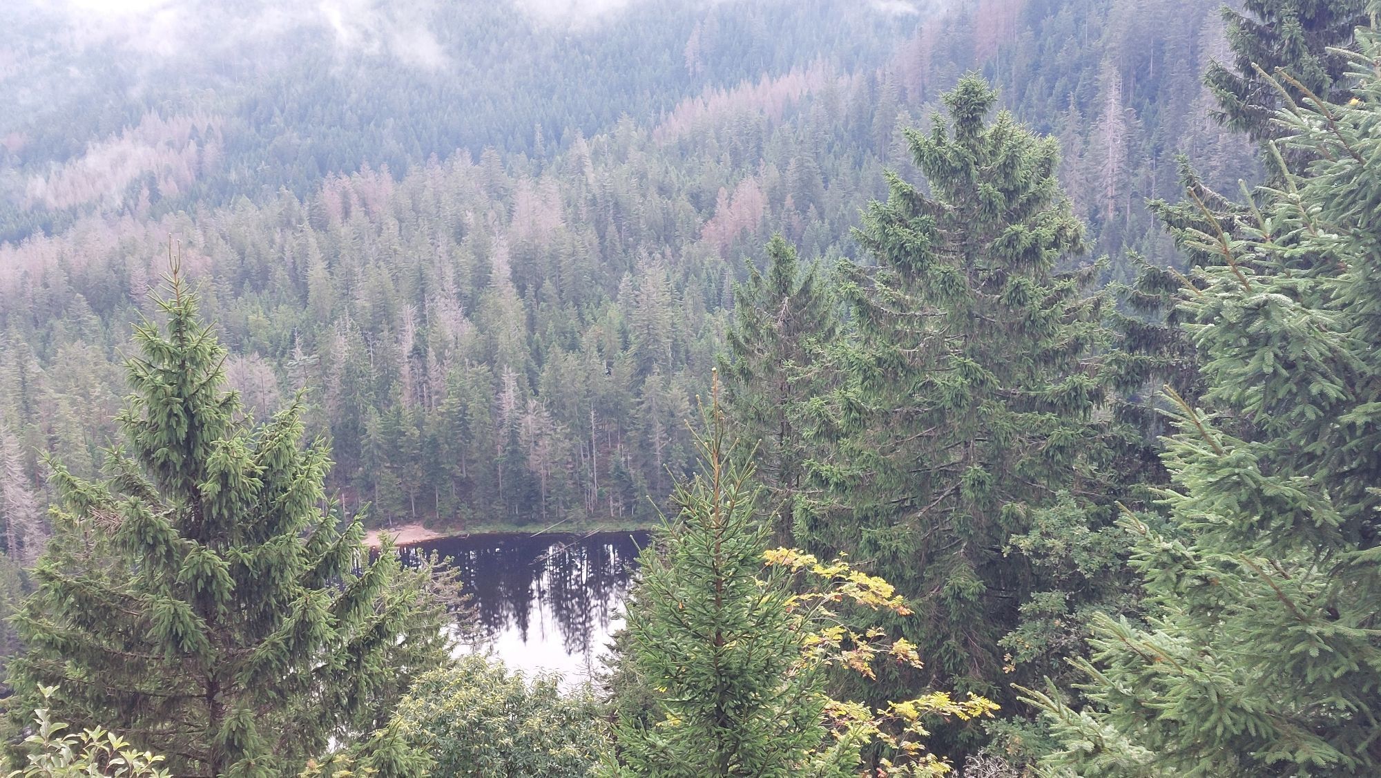
The Wildsee is the most pristine and (Nomen est omen) wildest cirque lake of the Northern Black Forest. It lies in the middle of a large protected forest area. Descent from the signpost "Wildseewegle" is only for experienced and sure-footed hikers, approx. 1.0 km.
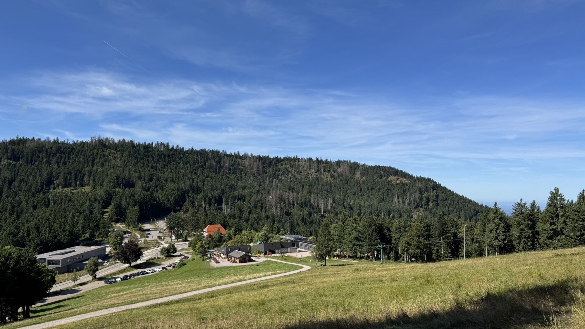
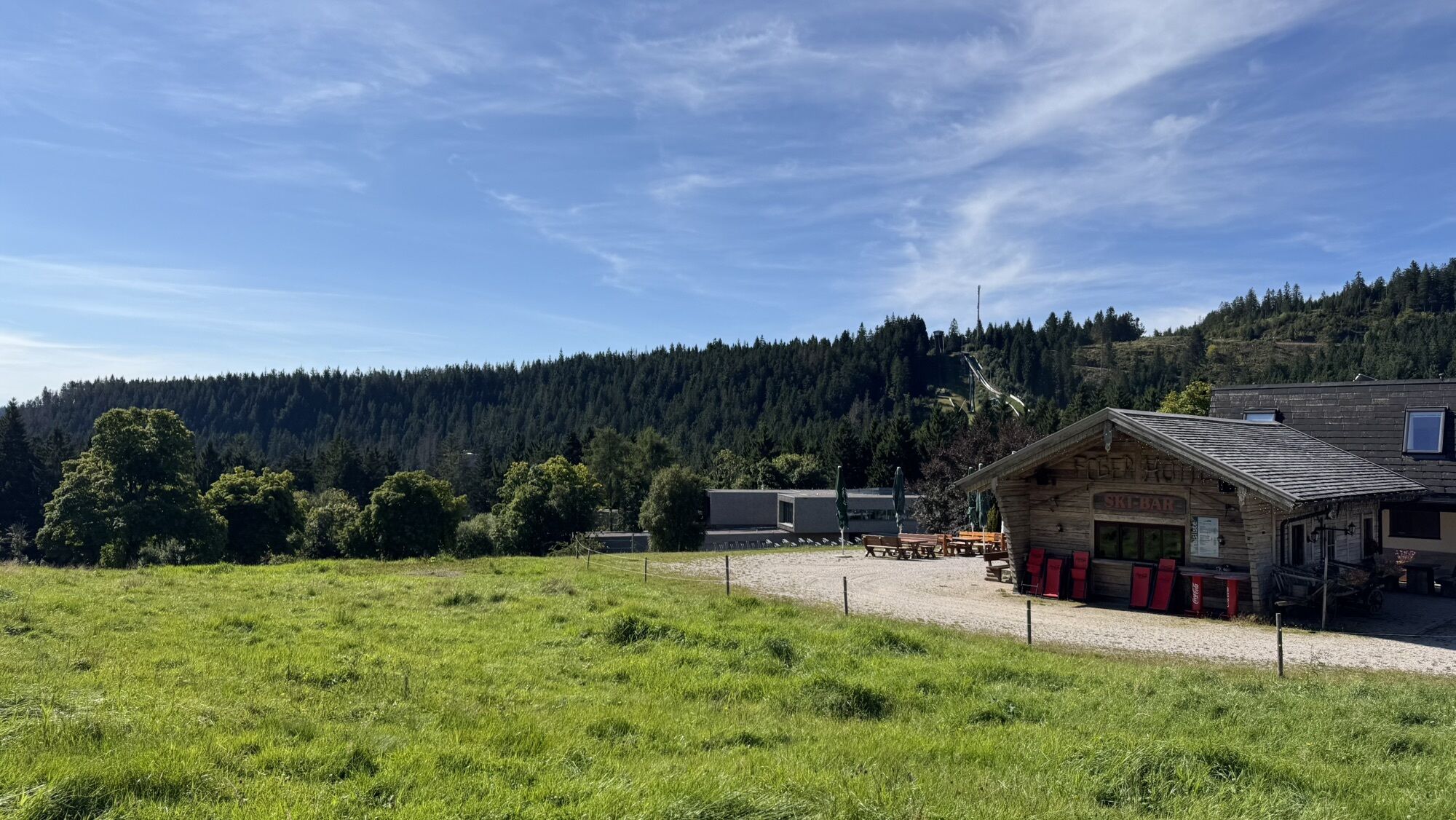
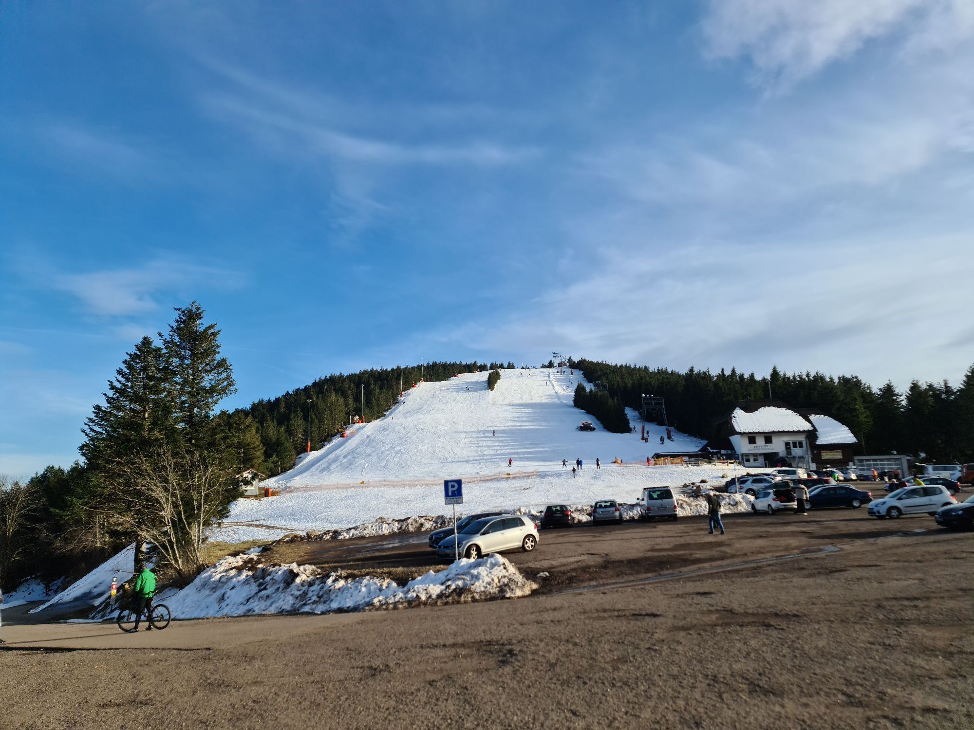
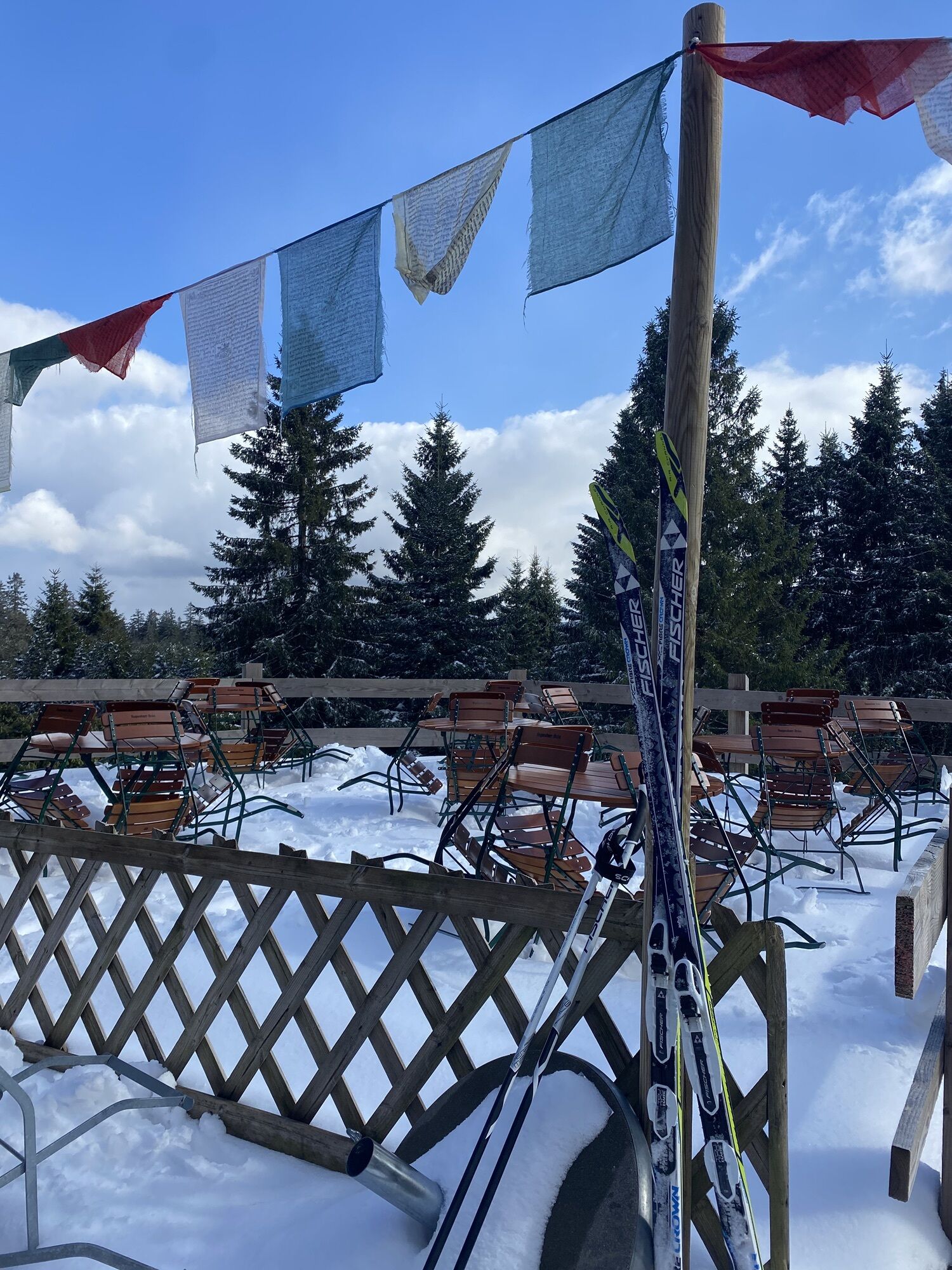
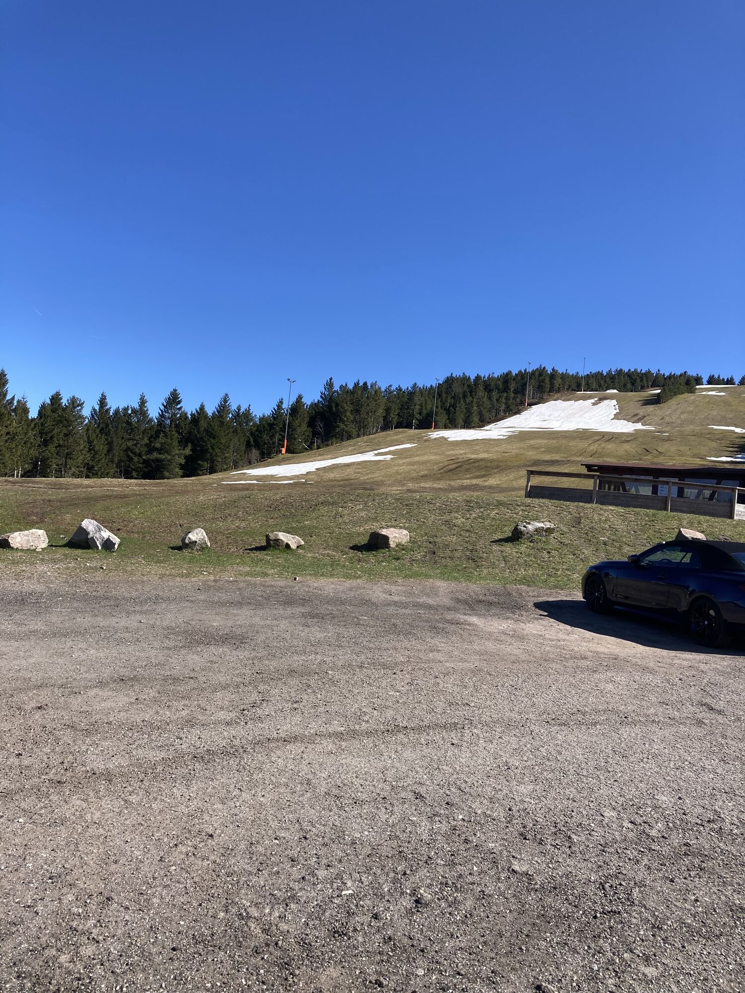
Refreshment options: Ruhestein, Darmstädter Hütte, Seibelseckle (kiosk)
Oblíbené prohlídky v okolí
-
5.0
Ottenhöfen - Eichkopf - Karlsruher Grat
středníTuristika 13.7 km -
4.7
Kniebiser Heimatpfad - Wandern mit Genuss
světloTuristika 9.07 km -
3.9
Schnapsbrunnenweg 2
středníTuristika 12.8 km -
4.5
Naturgewalten-Tour
Turistika 15.6 km -
4.0
Sankenbachwasserfälle und Glasmännlehütte am Stöckerkopf
středníTuristika 12.8 km -
5.0
Bannwald-Tour
Turistika 13.3 km -
4.5
Schnapsbrunnenweg 1
světloTuristika 7.45 km -
4.8
Ottenhöfen - Mühlenweg
středníTuristika 13.4 km -
5.0
Kniebis-Sankenbachwasserfälle-Sankenbachsee
středníTuristika 7.98 km -
4.5
Lautenbacher Hexensteig
heavyTuristika 15.3 km
Pěší turistika a stopování


Nenechte si ujít nabídky a inspiraci pro vaši příští dovolenou
Vaše e-mailová adresa byl přidán do poštovního seznamu.