







Von Lenzkirch durch die Haslachschlucht zum Rechenfelsen und zur Haslachmündung
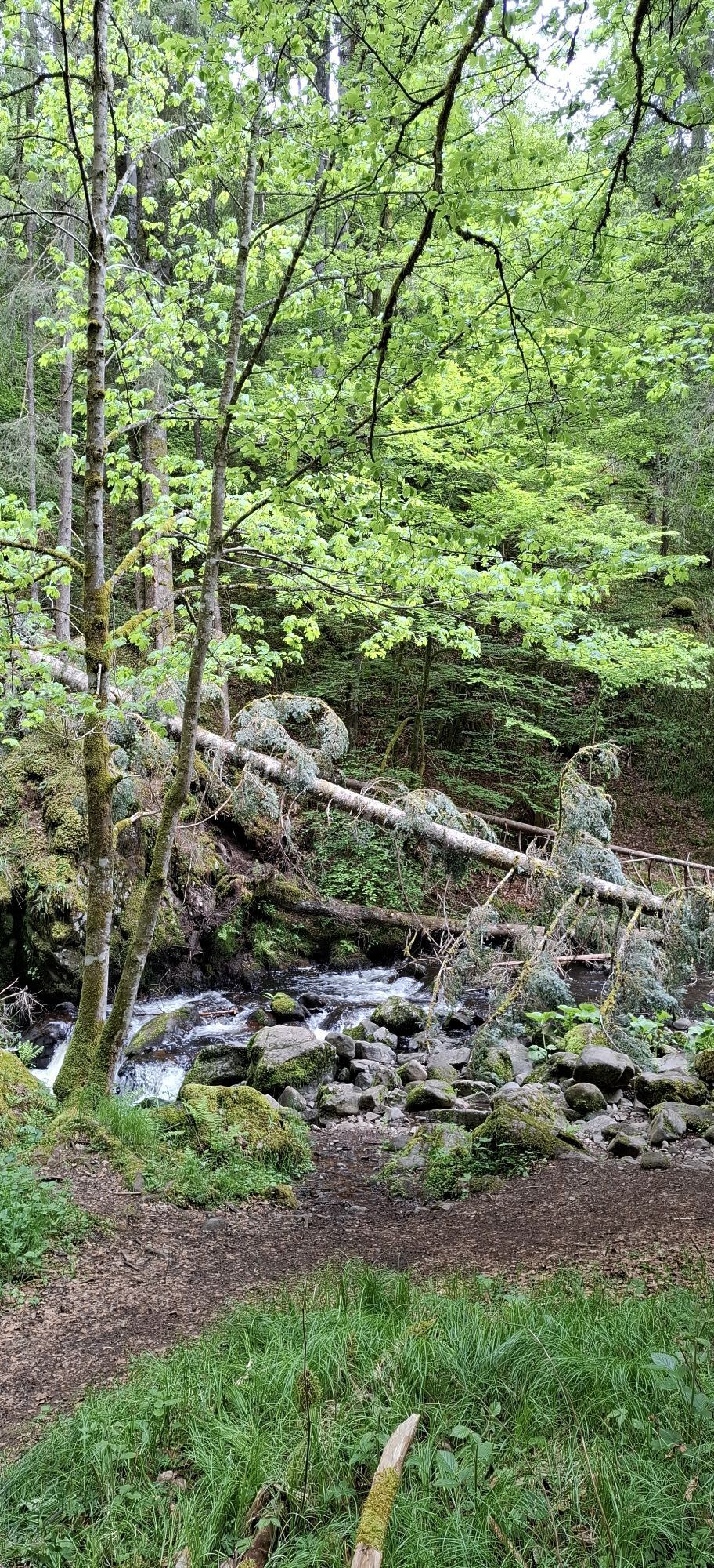
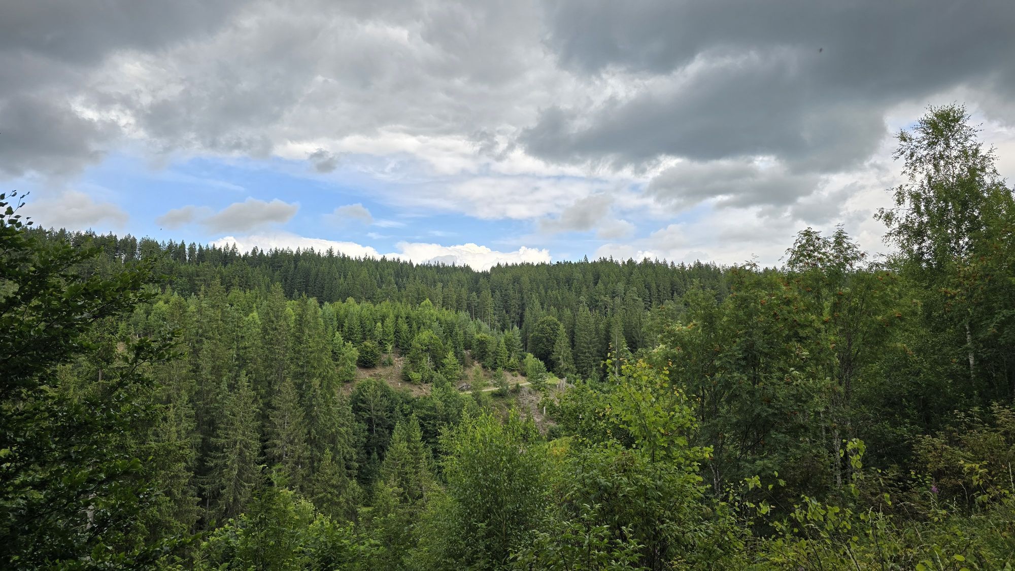
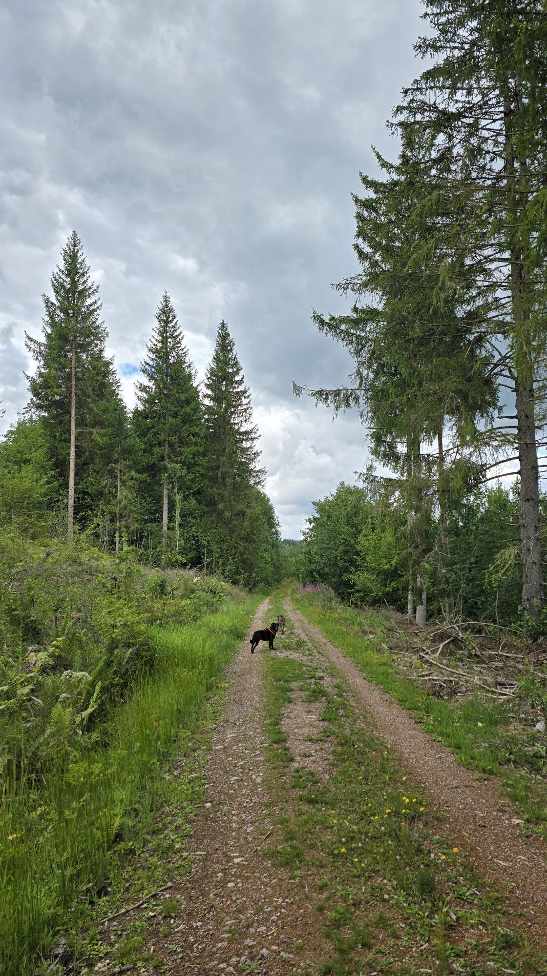
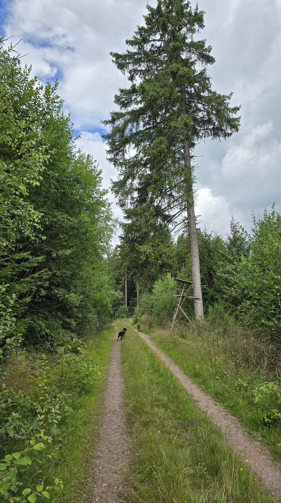

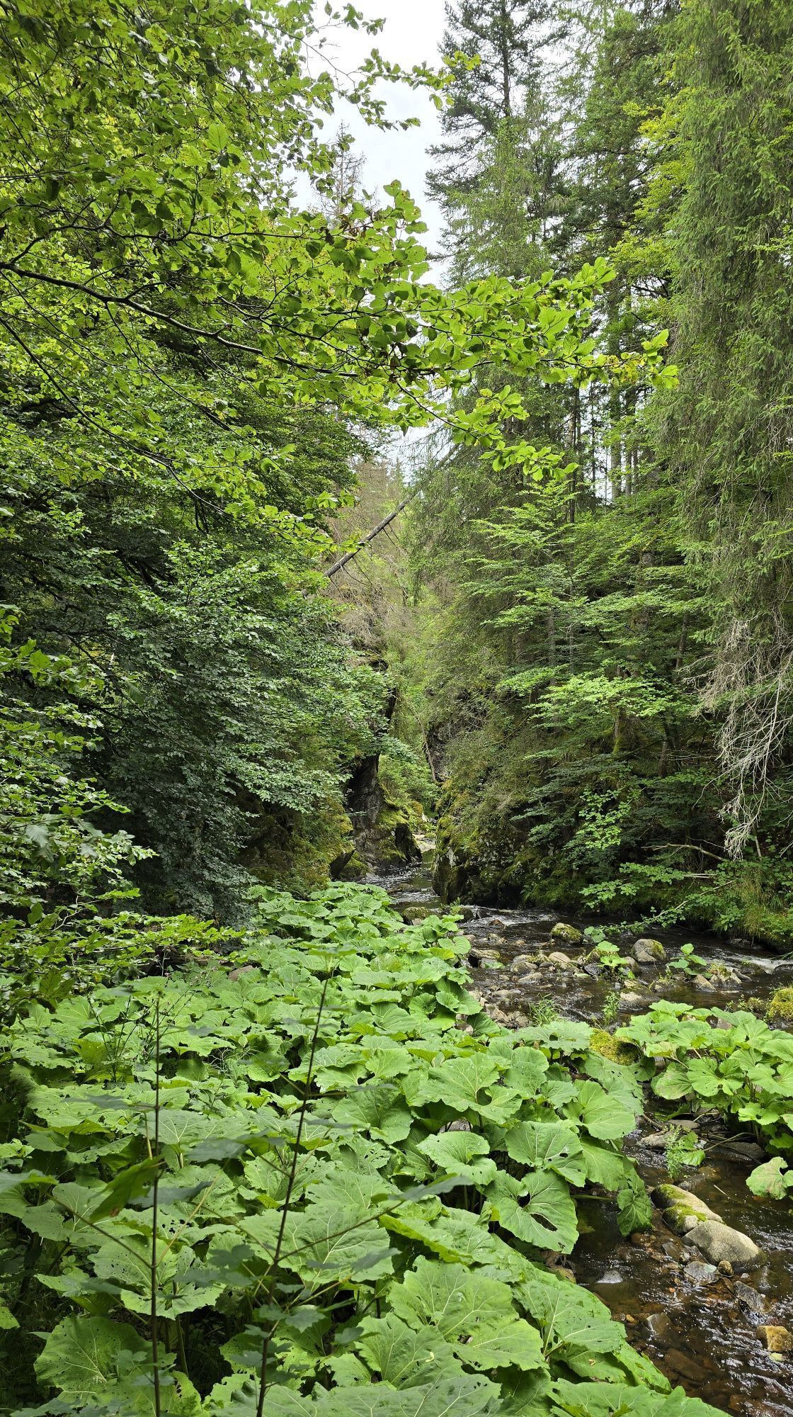
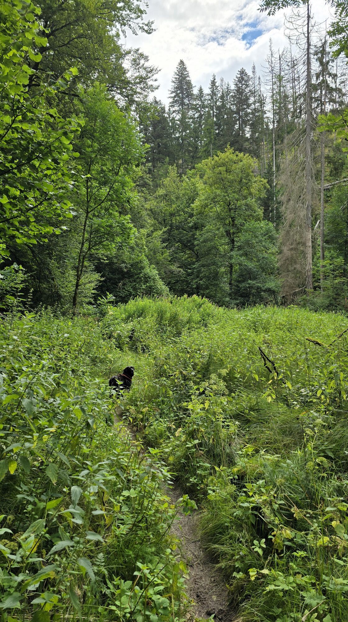
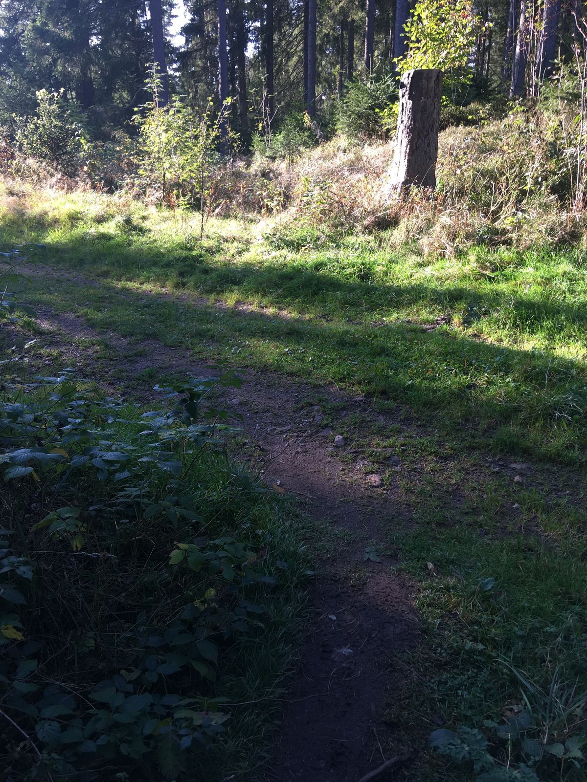
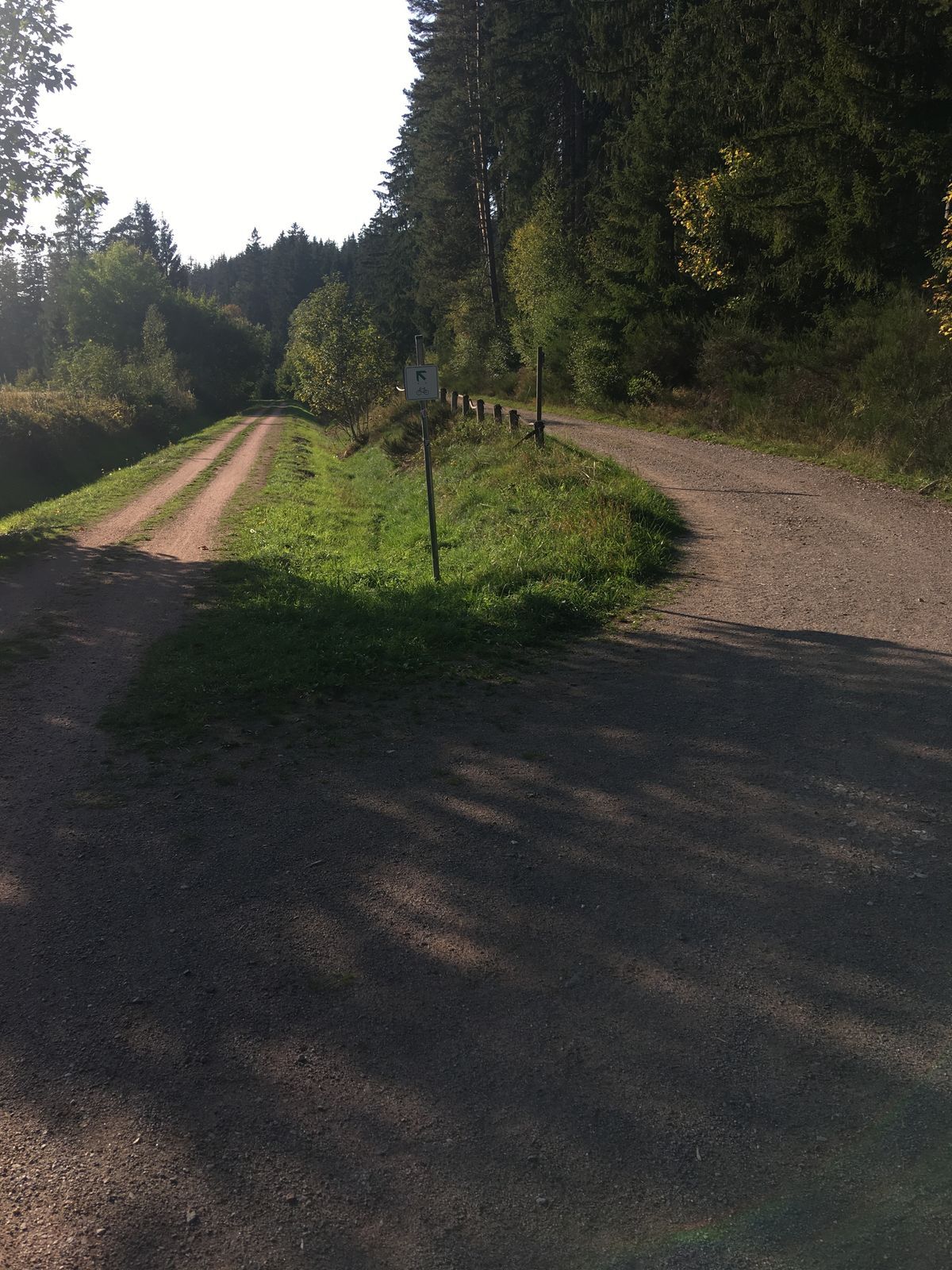
The Haslach Gorge is often referred to as the "little sister" of the Wutach Gorge. The gorge leads from Lenzkirch to the mouth of the Haslach, where the Haslach and Gutach join to form the Wutach. At first...
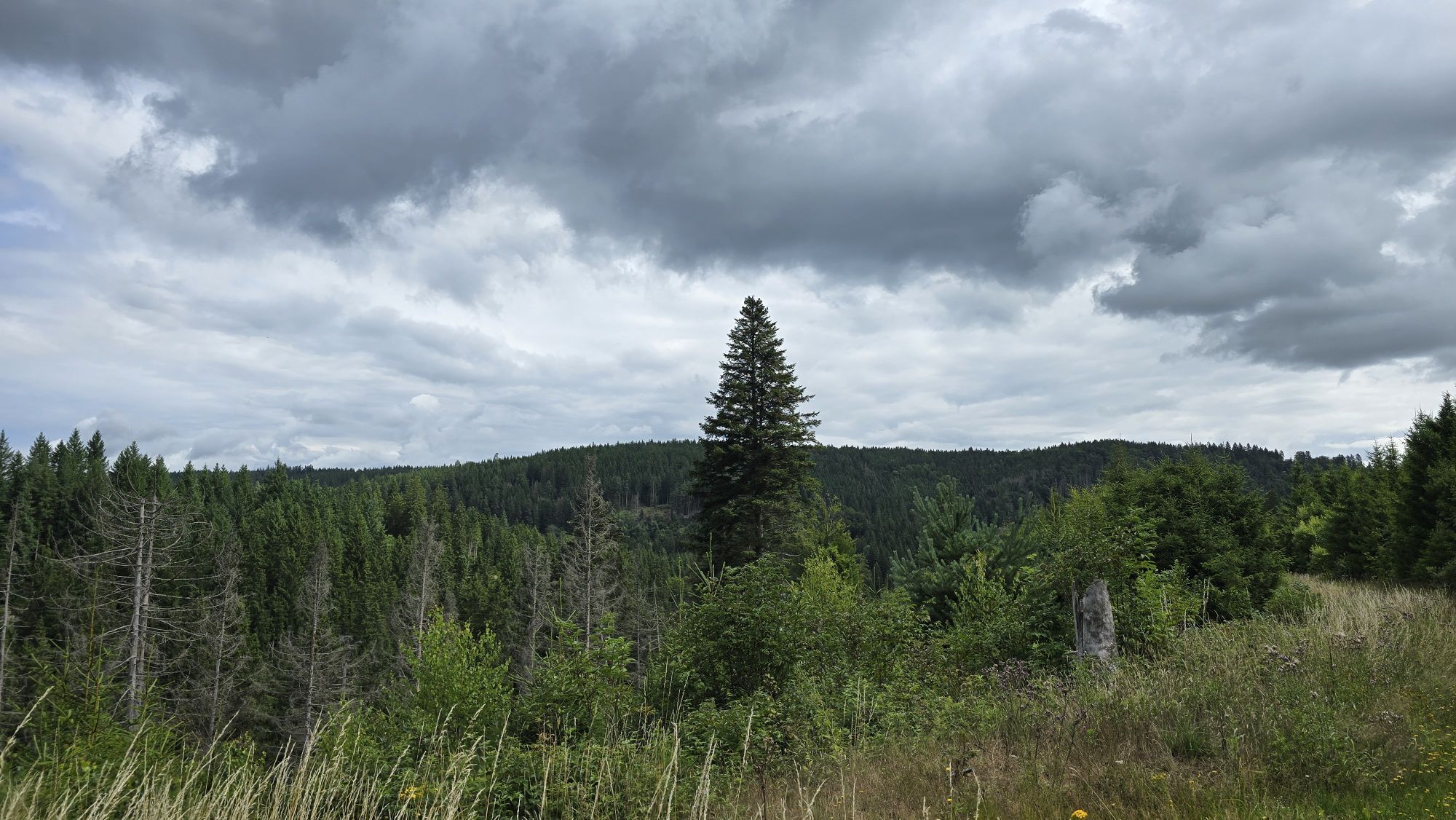
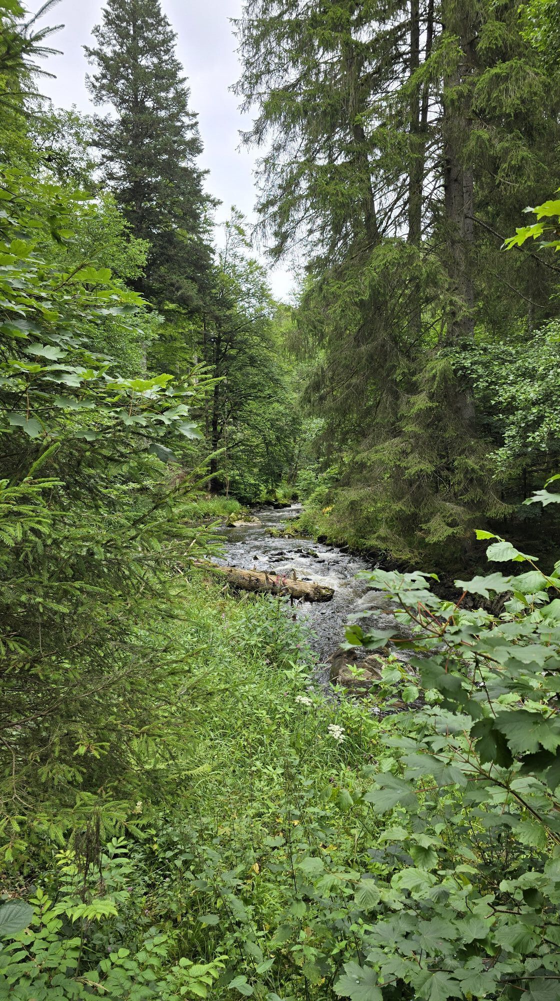
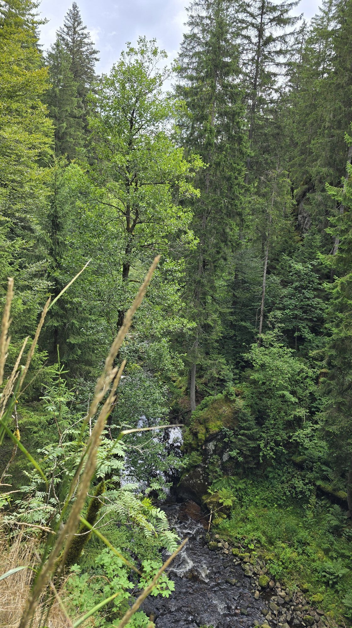
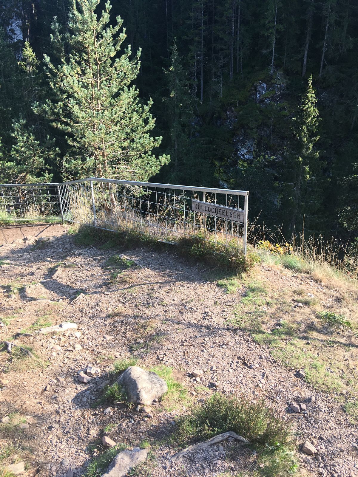
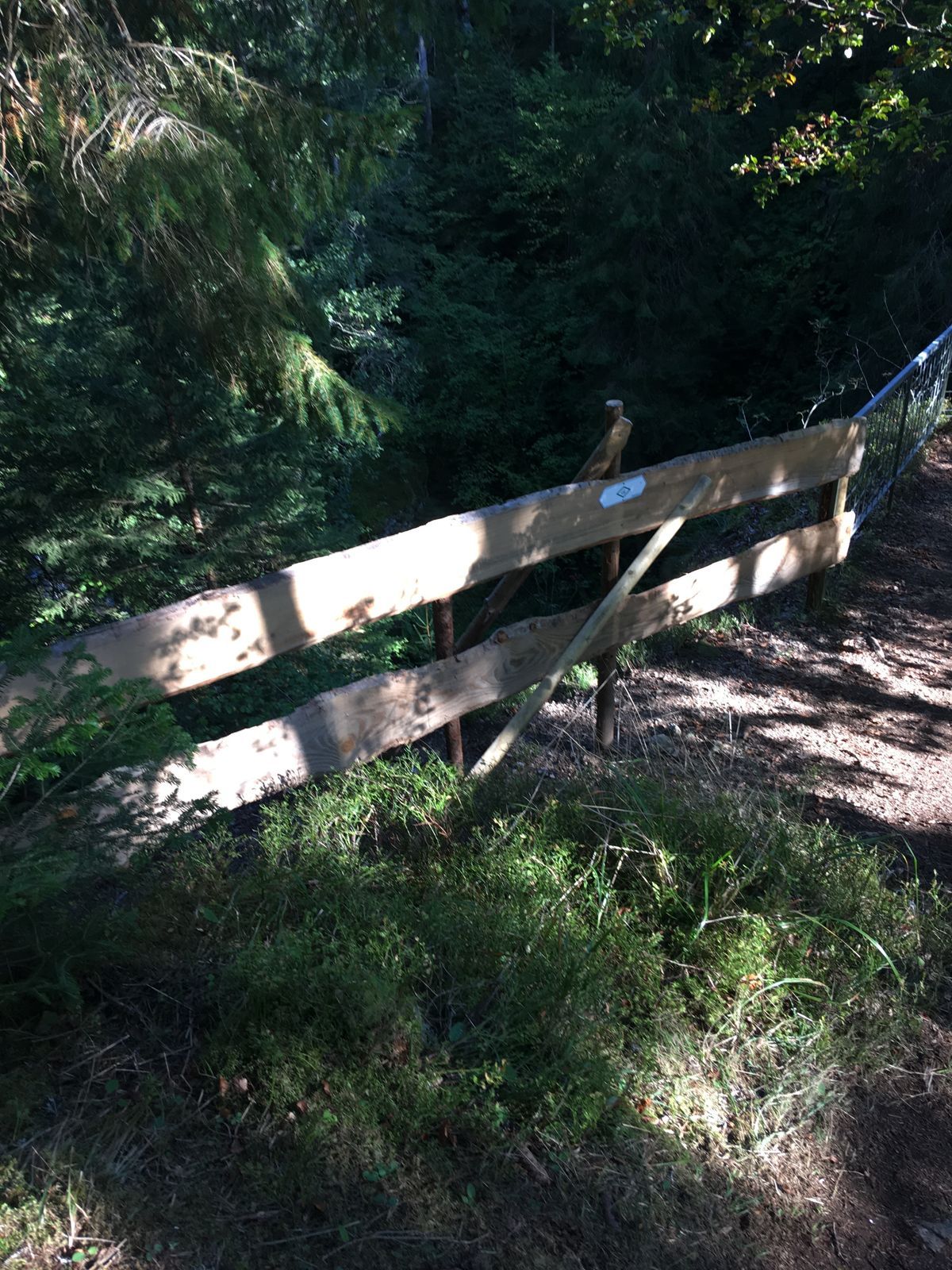
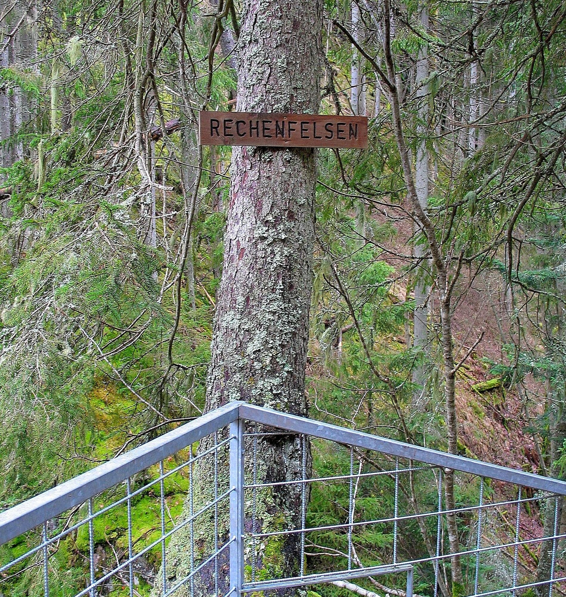
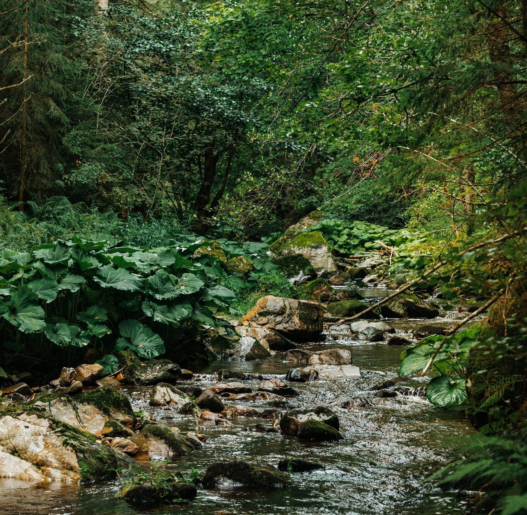
The Haslach Gorge is often referred to as the "little sister" of the Wutach Gorge. The gorge leads from Lenzkirch to the mouth of the Haslach, where the Haslach and Gutach join to form the Wutach. At first gentle, then wildly romantic, the trail leads through the narrow gorge down to the water's edge and far up to cross steep cliffs that drop down to the Haslach. The two viewpoints Höllochfelsen and Rechenfelsen offer marvellous views. Here, the Haslach breaks through the hard porphyry rock in spectacular fashion, revealing the elemental forces of water.

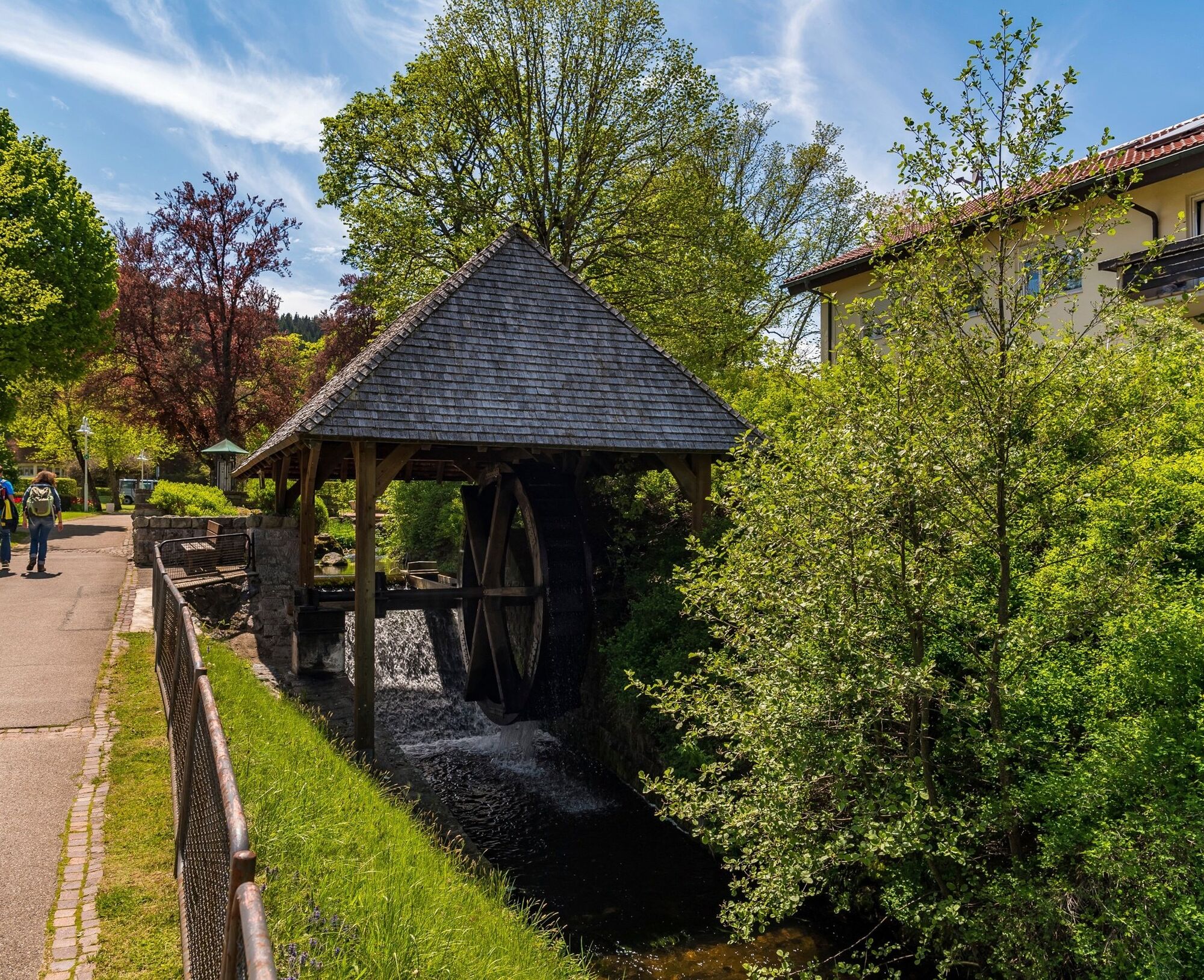
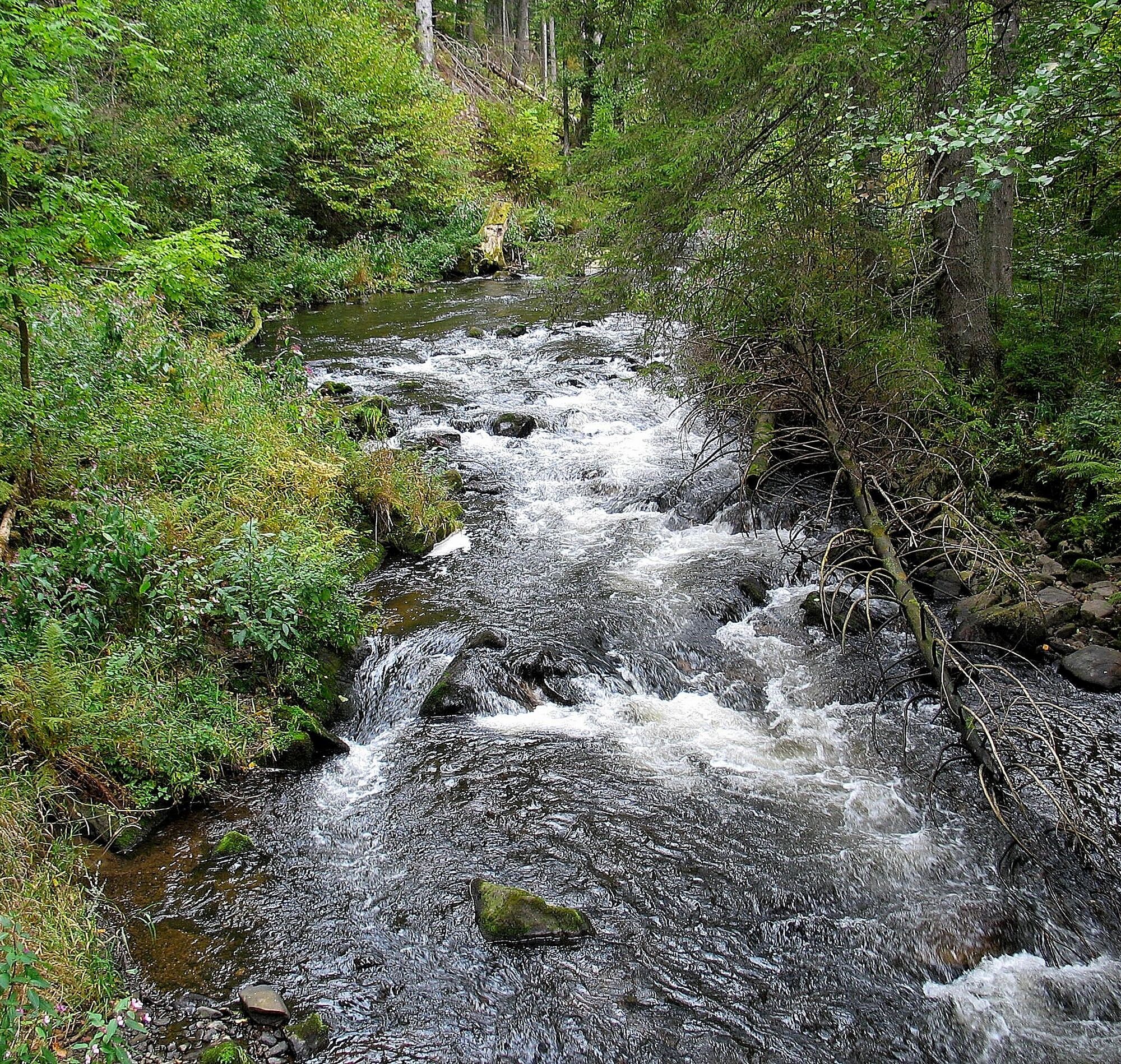
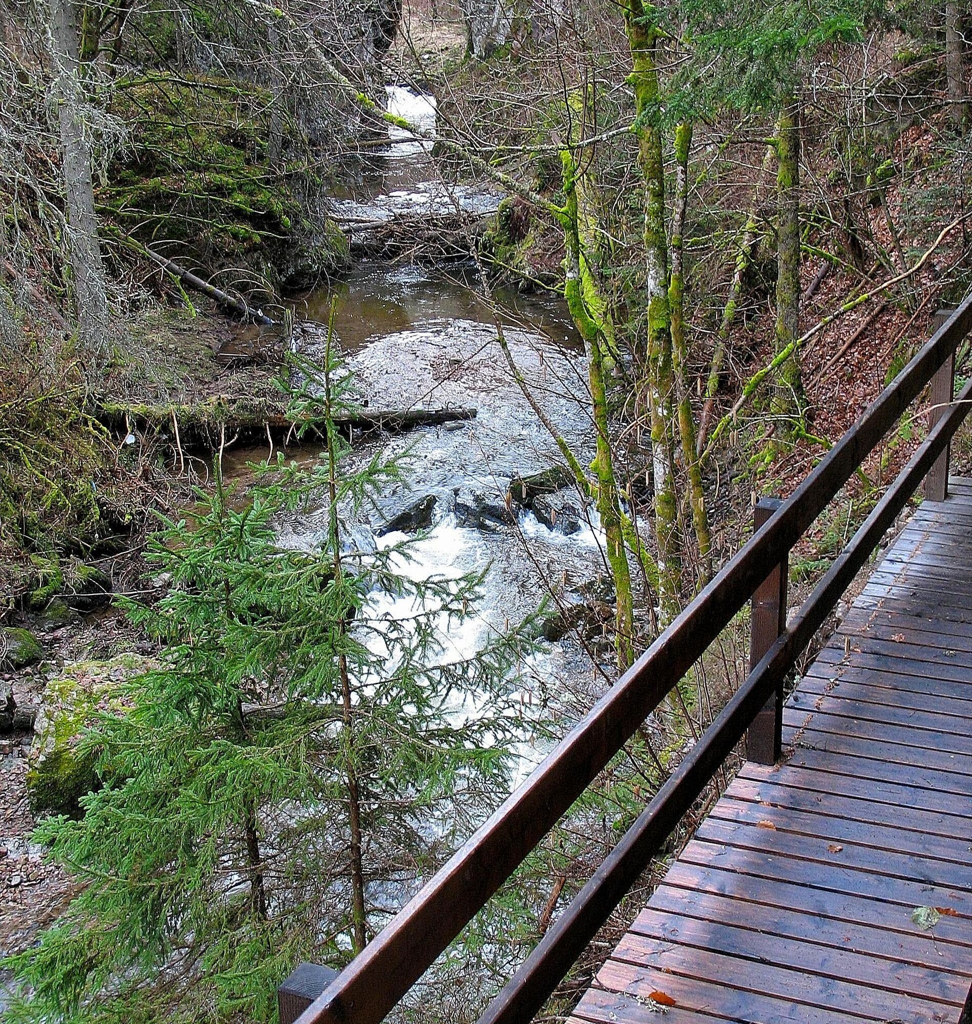
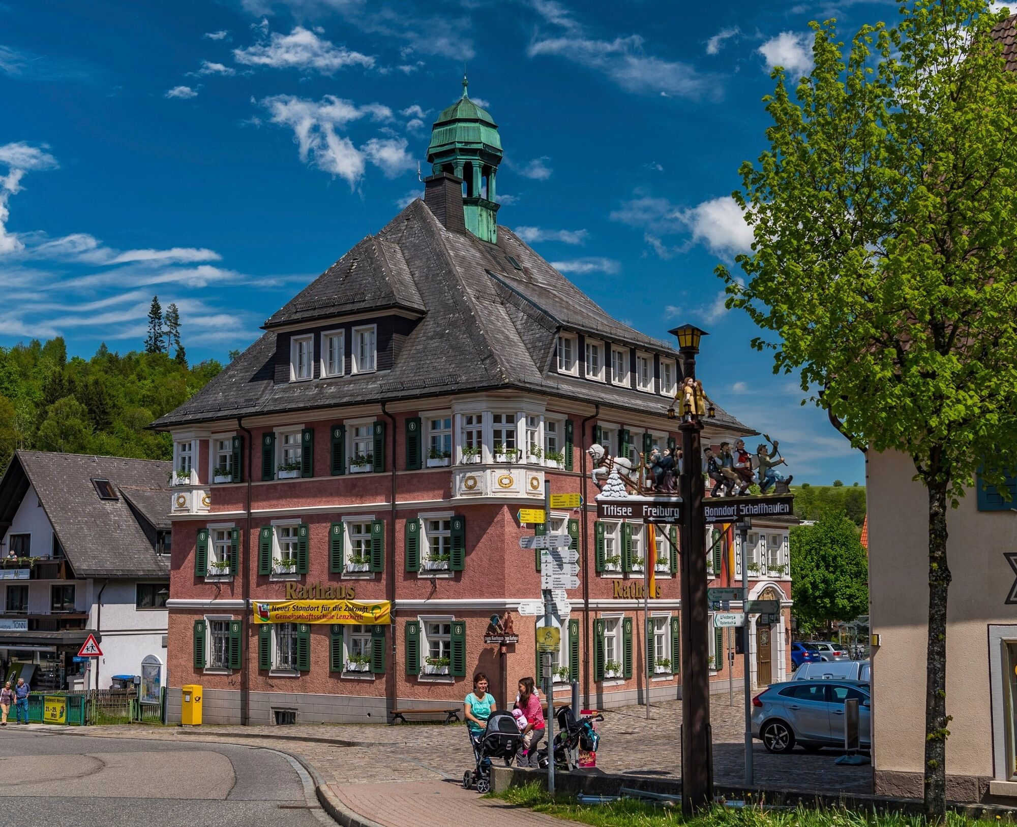
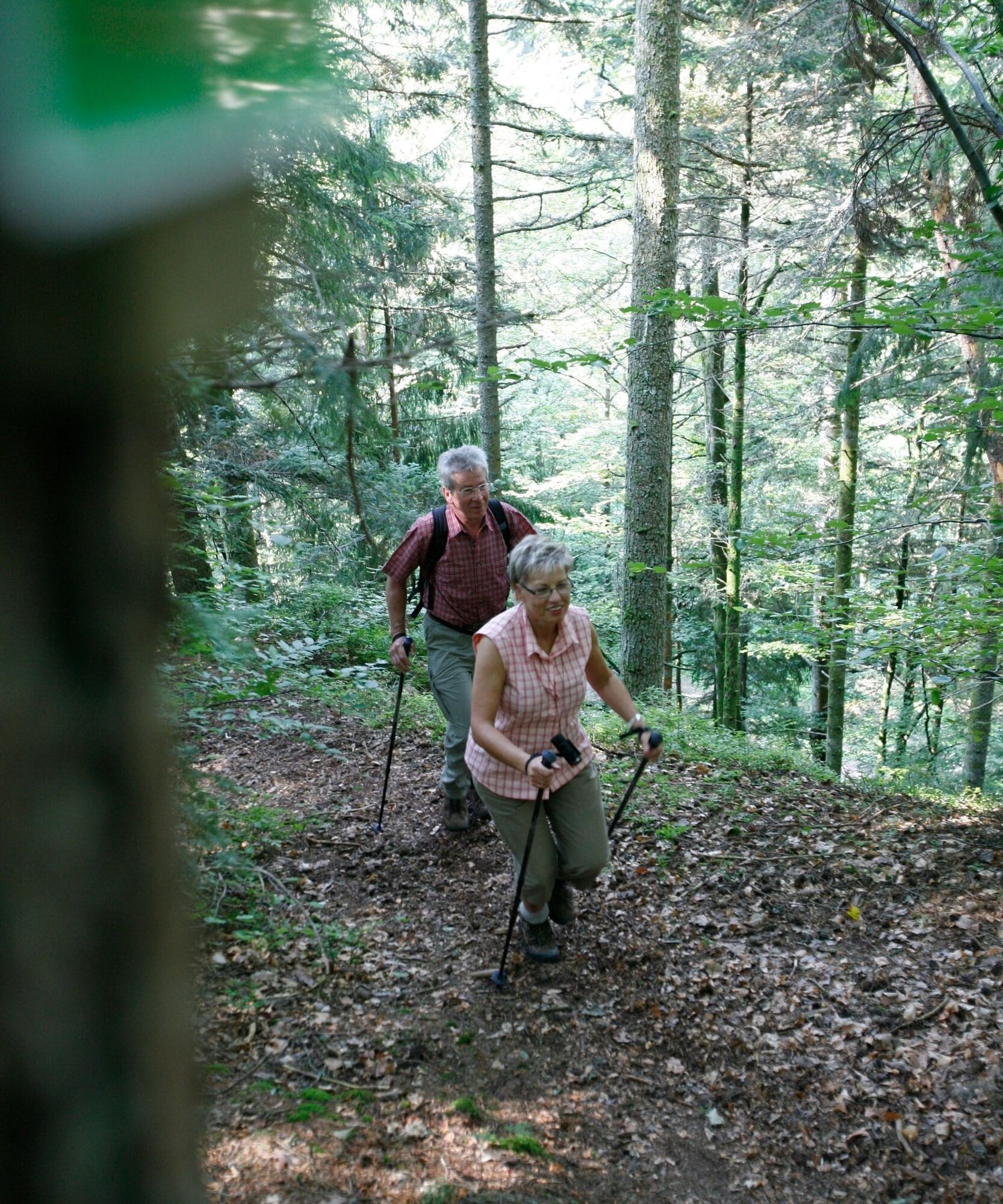


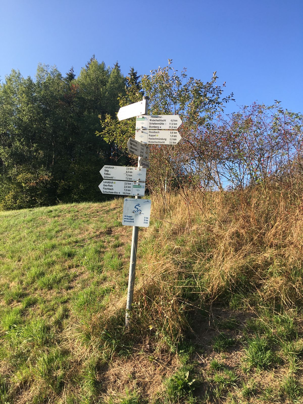
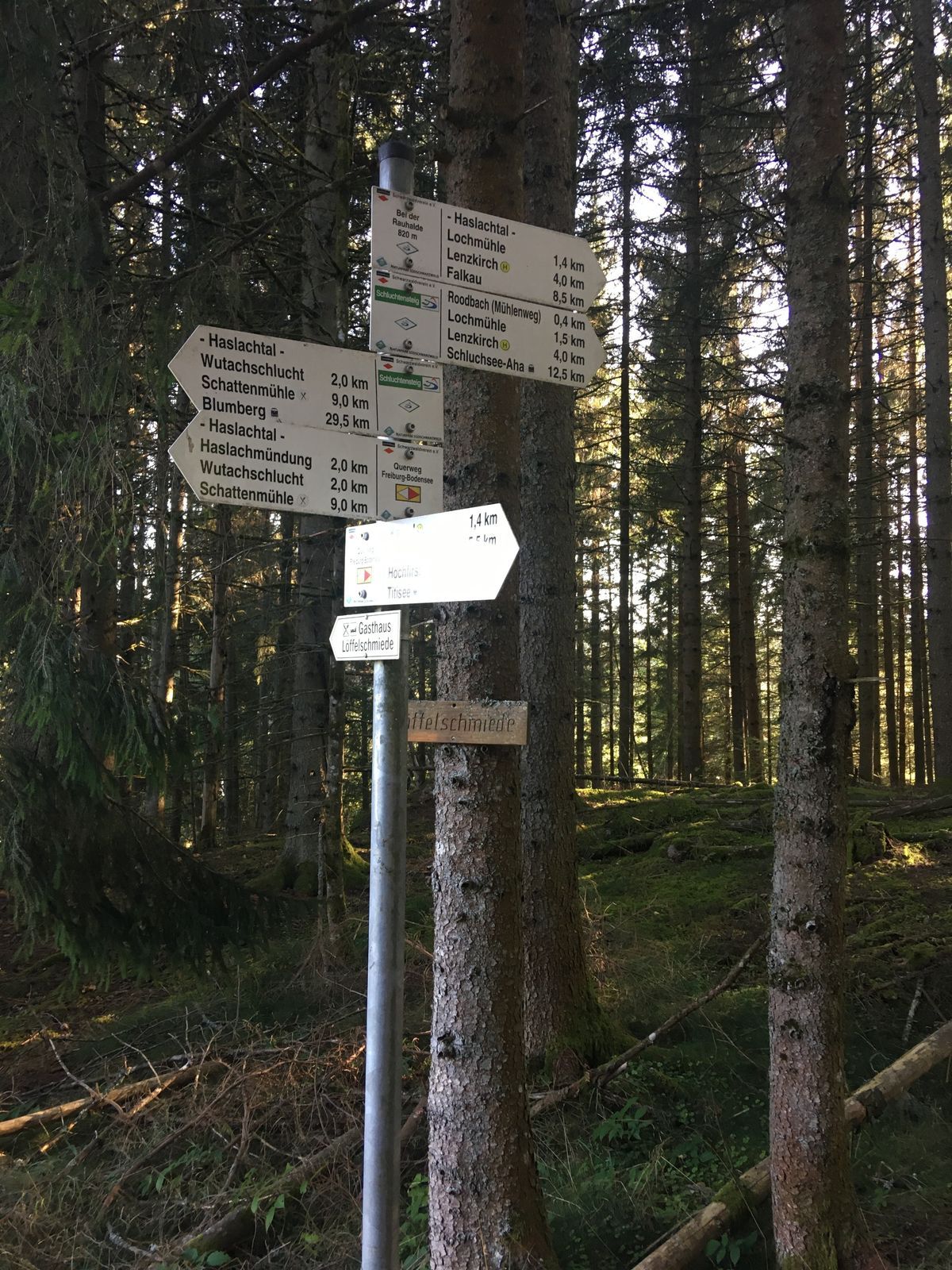
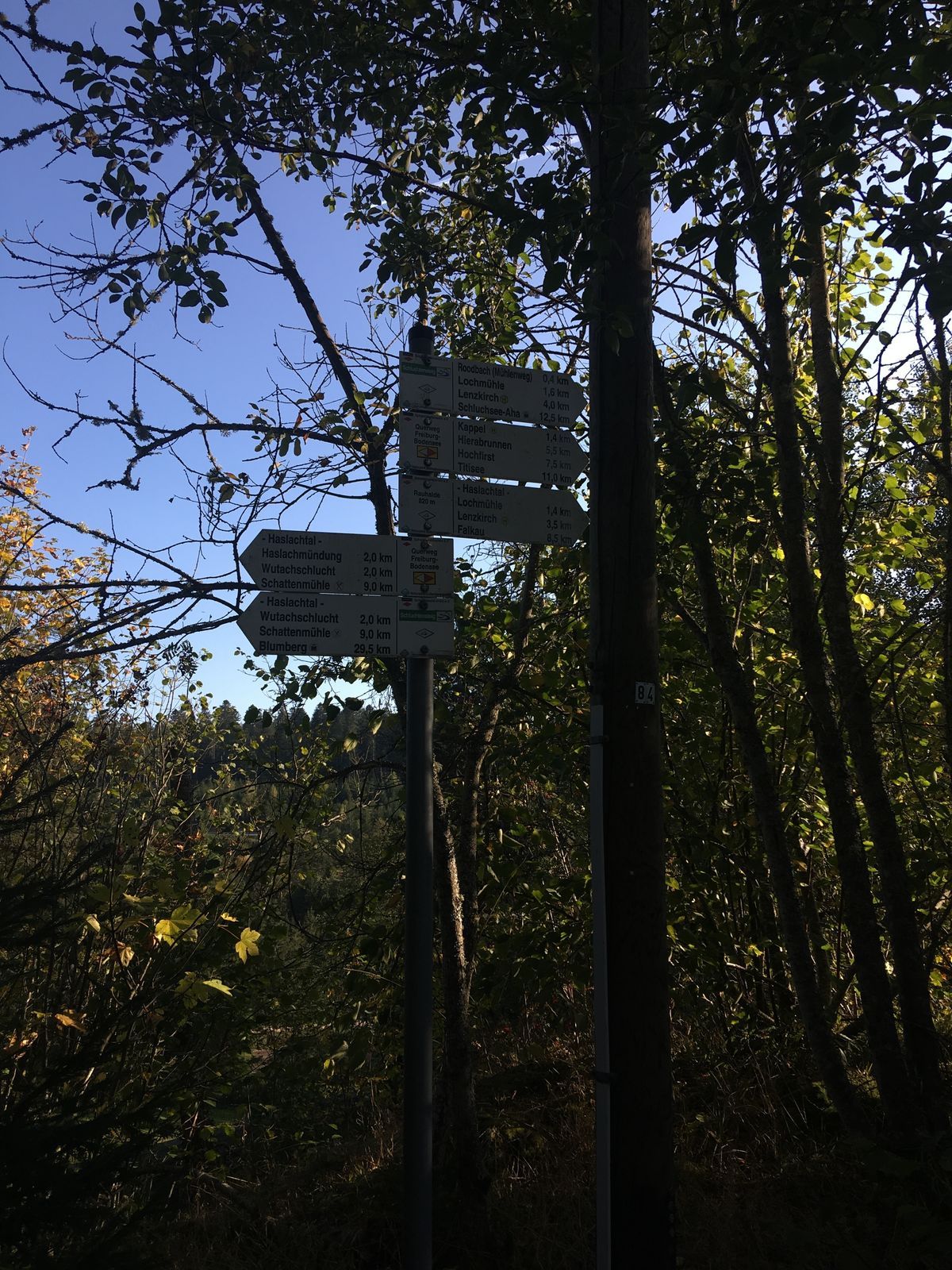
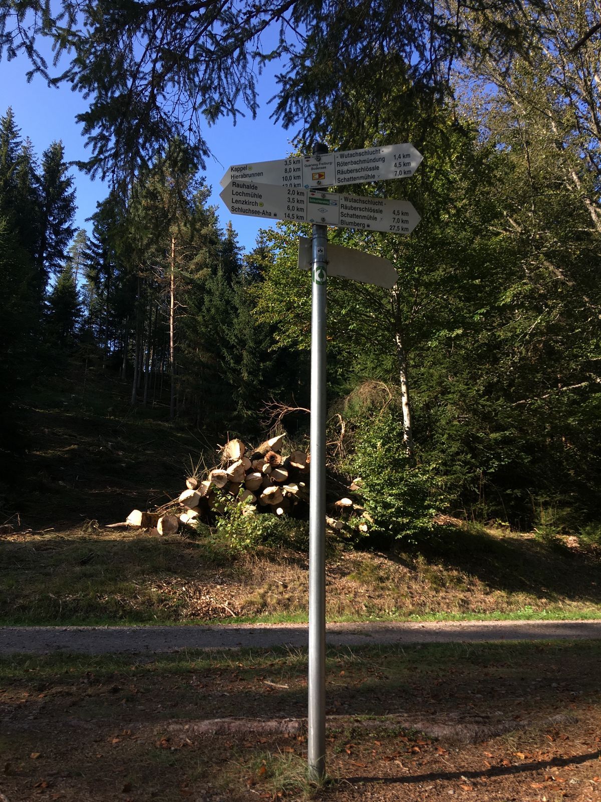
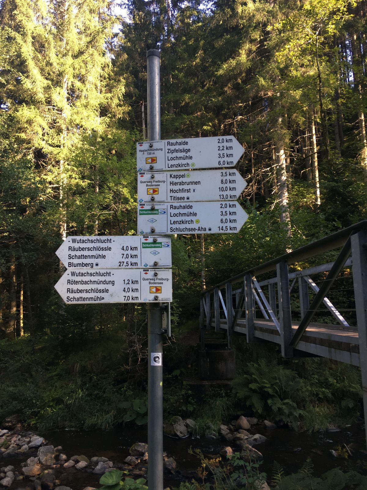
Vom Lenzkircher Kurhaus wanderst du zur Testo-Straße, überquerst die Haslach und wanderst oberhalb links der Haslach auf der kaum befahrbaren Straße bis zum Waldrand, dann ein kleines Stück nach links. Hier am Punkt "Lochmühleweg" triffst du auf den Wegweiser "Schluchtensteig", der ins Haslachtal und zur Haslachmündung führt.
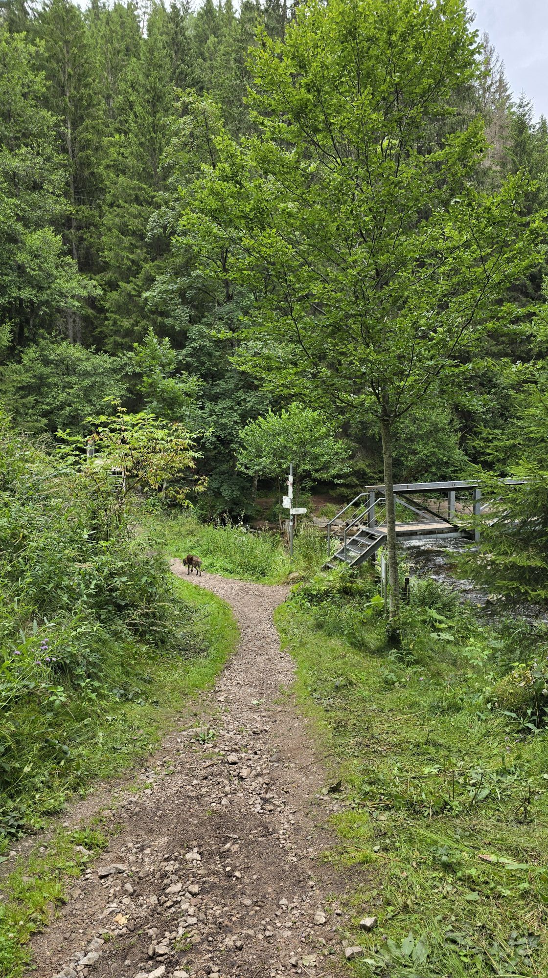
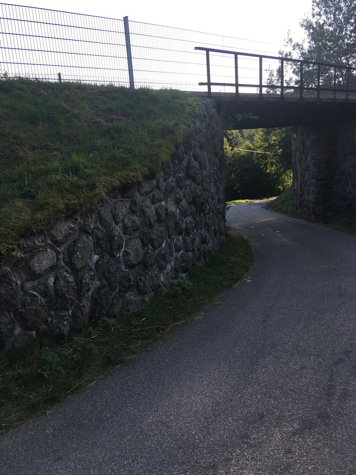
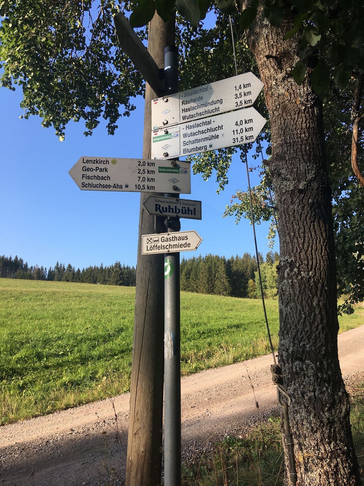
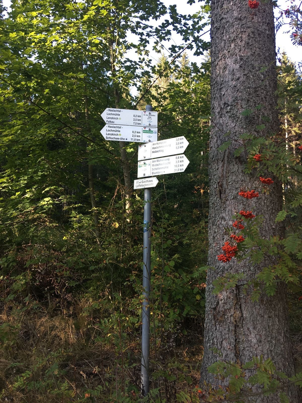
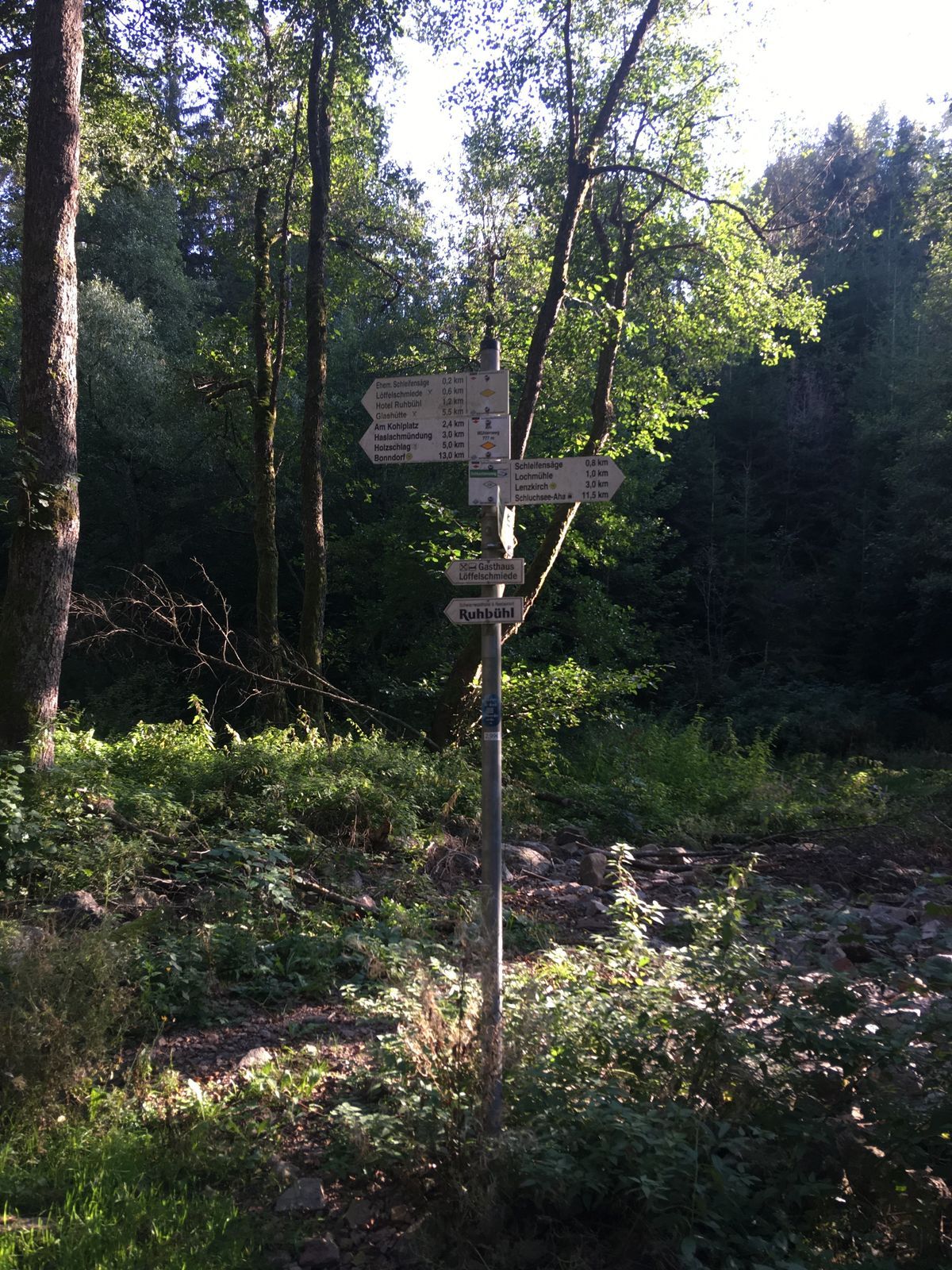
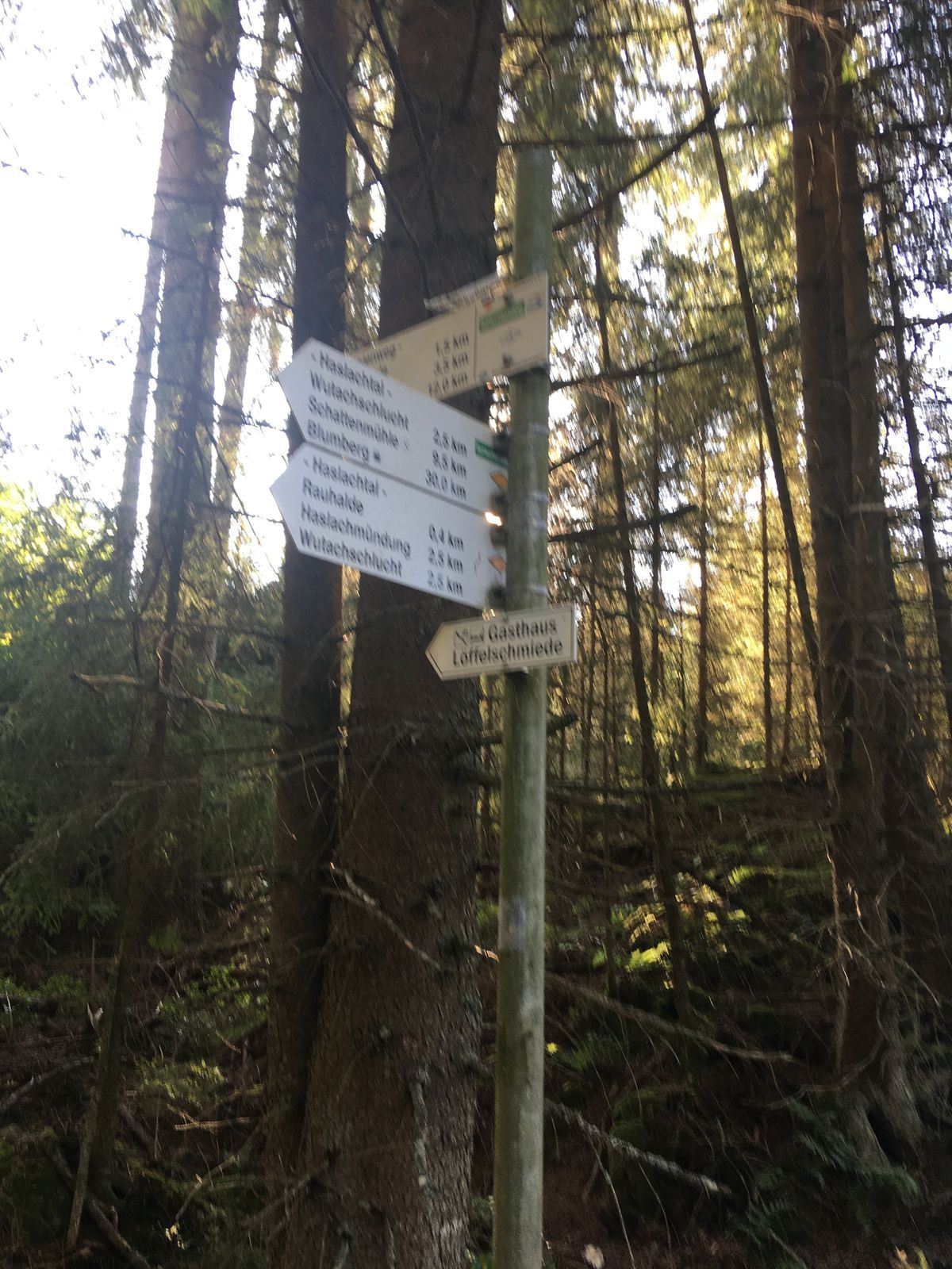
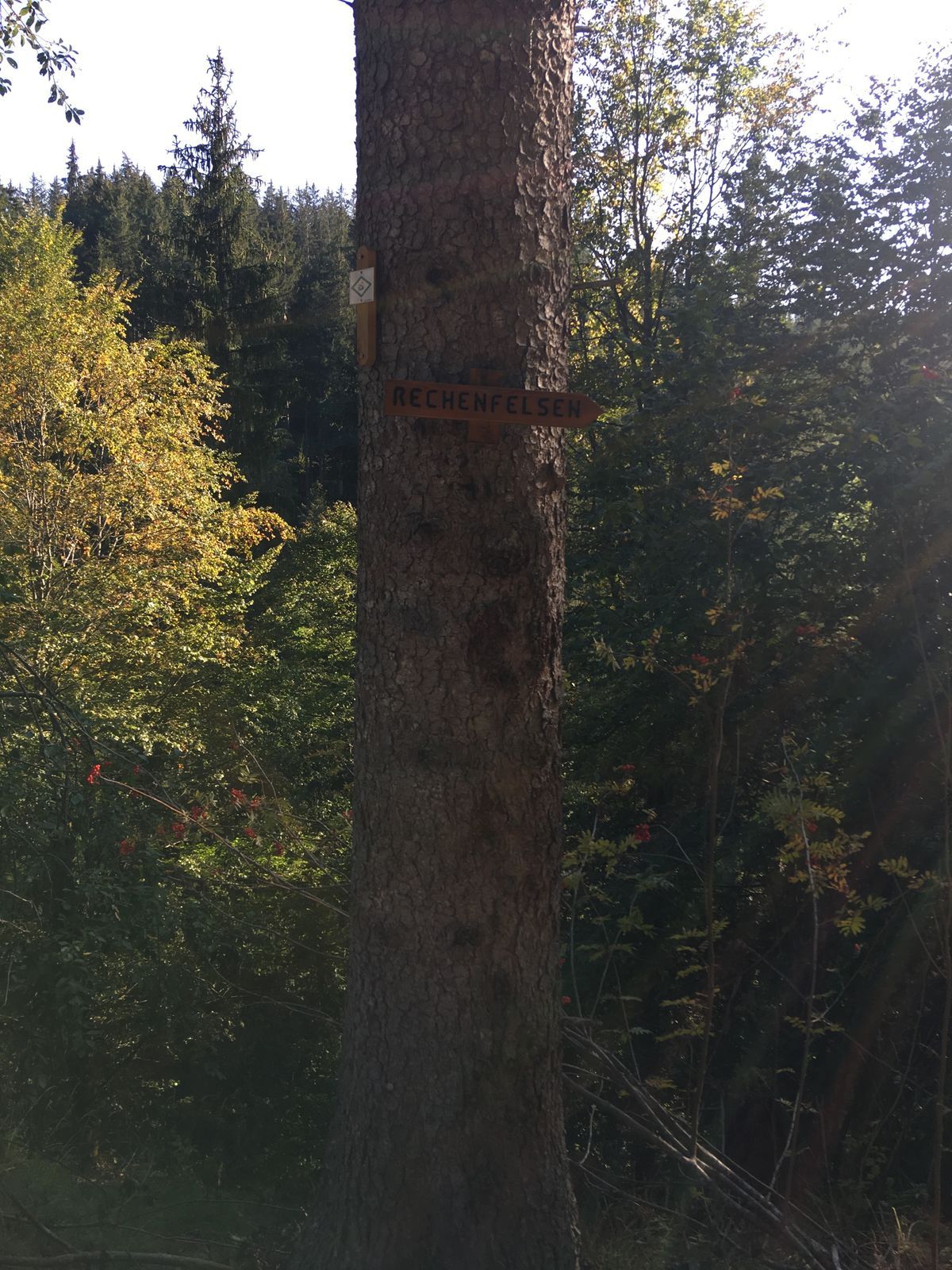
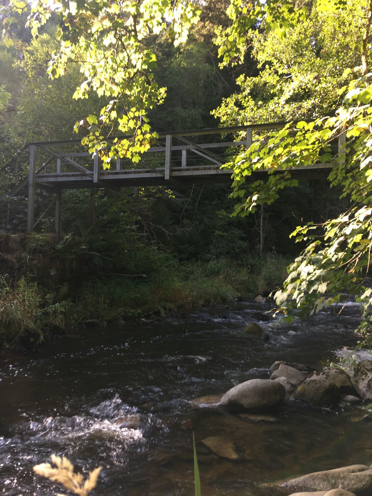
Zunächst erreichst du den ehemaligen Bahnhof Kappel-Grünwald. Die Schienen wurden 1976 abmontiert und die Bahnlinie von Lenzkirch nach Bonndorf stillgelegt. Auf dem Schluchtensteig wanderst du weiter bis zur Abzweigung zum Rechenfelsen. Ein schmaler Pfad führt den steilen Hang hinab bis zum Höllochfelsen. Am Ufer der Haslach gehst du weiter bis zum Aussichtspunkt Rechenfelsen. Du lässt diesen spektakulären Aussichtspunkt hinter dir und wanderst am steilen Hang des Haslachtales weiter, dem Schluchtensteig folgend hinab bis zur Haslachmündung, wo sich Haslach und Gutach zur Wutach vereinigen. Die Haslach überquerst du rechts auf einer Holzbrücke, danach geht es im Wald auf einem schmalen Pfad steil hinauf. Oben am Wegweiser "Am Kohlplatz" stößt du auf eine Waldschneise und folgst der gelben Raute in Richtung Lenzkirch. Nach etwa 200 Metern gelangst du auf einen Forstweg, dem du bis zur Haslachbrücke unterhalb des Gasthauses Löffelschmiede folgst. Du passierst die Wegweiser Standorte "ehemalige Schleifensäge", "Am Mühlweg" und "An der Schleifensäge". Ab hier begleitet dich der Wegweiser des Schluchtensteiges über den Lochmühleweg zurück zum Kurhaus.
Ein kurzer Abstecher über den Mühlenrundweg ist zu empfehlen. Nach Überquerung der Haslach wanderst du direkt am Fluss entlang zum Ausgangspunkt zurück.
Ano
Ano
Wir empfehlen festes Schuhwerk!
Trittsicherheit ist erforderlich!
Bitte beachte die Hinweisschilder auf dem Wanderweg. Genaue und detaillierte Informationen über die Hinweisschilder und das Wanderleitsystem findest du auf unserer Website. In Notfällen die 112 anrufen.
Anfahrt zum Startpunkt
Die Wanderung kann auch von Kappel aus begonnen werden. (Wegstrecke: 5,5 km).

Webové kamery z prohlídky
Získejte přehled
Vždy živě na místě s více než 9 500 webkamerami. bergfex Jako uživatel Pro si nyní můžete zobrazit odpovídající webové kamery pro mnoho prohlídek v aplikaci prohlídky z. Můžete si tak přímo prohlédnout aktuální podmínky.
Oblíbené prohlídky v okolí
-
3.9
Seerundweg Titisee
světloTuristika 5.84 km -
4.7
Premium Hiking Trail - 3-Schluchten Tour
středníTematická stezka 9.62 km -
4.7
Wutachschlucht Rundwanderung im Süd Schwarzwald
středníTuristika 9.76 km -
4.1
Höhenklimaweg Titisee-Rundweg
středníTuristika 7.44 km -
3.9
From Titisee to the Hochfirst with its stunning views
středníTuristika 10.6 km -
4.7
Premium Hiking Trail - Rötenbach Gorge
středníTematická stezka 10.1 km -
4.7
Seerundweg Schluchsee
středníTuristika 17.7 km -
5.0
Wutachschlucht+Lotenbachklamm
světloTuristika 10.0 km -
4.3
Mystical path to the Mathisleweiher pond
středníTuristika 8.94 km -
5.0
Premium Hiking Trail - Schluchseer Jägersteig
středníTematická stezka 11.5 km
Pěší turistika a stopování


Nenechte si ujít nabídky a inspiraci pro vaši příští dovolenou
Vaše e-mailová adresa byl přidán do poštovního seznamu.





