






Through deep forests to the promising Hochfirst

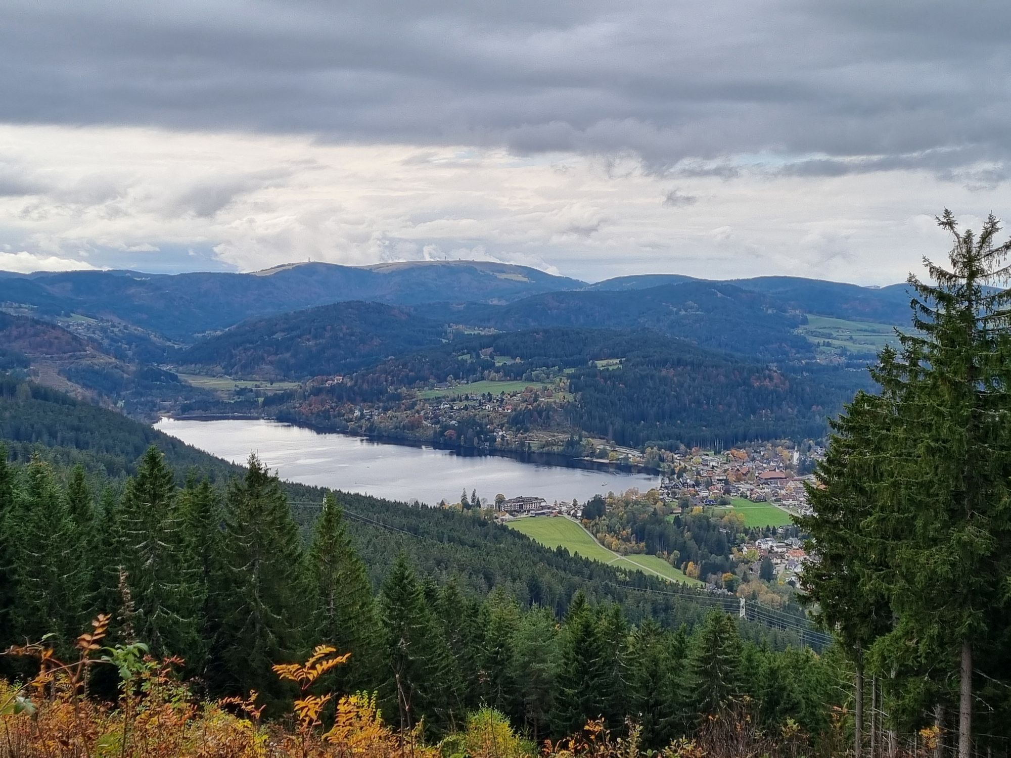
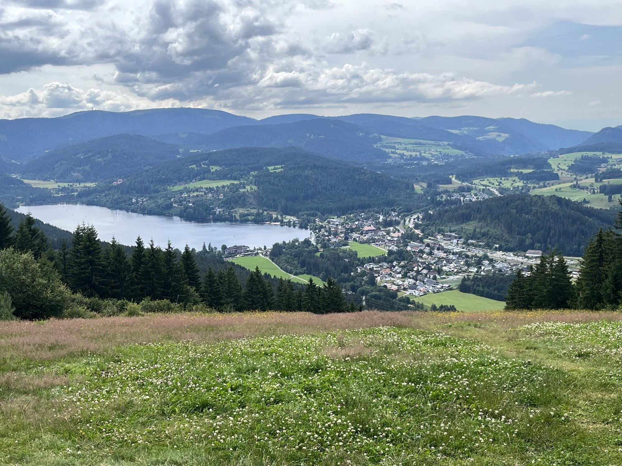
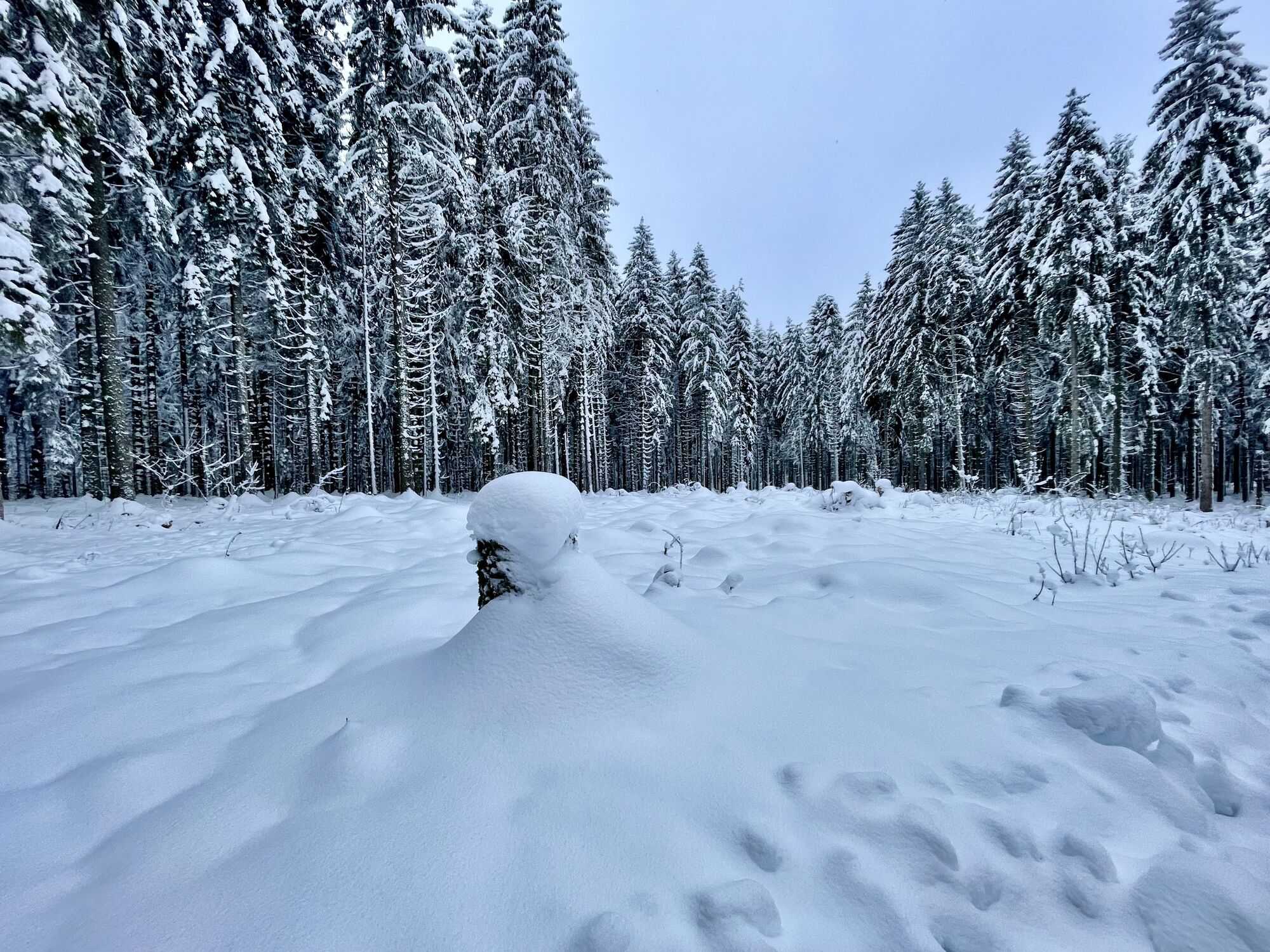
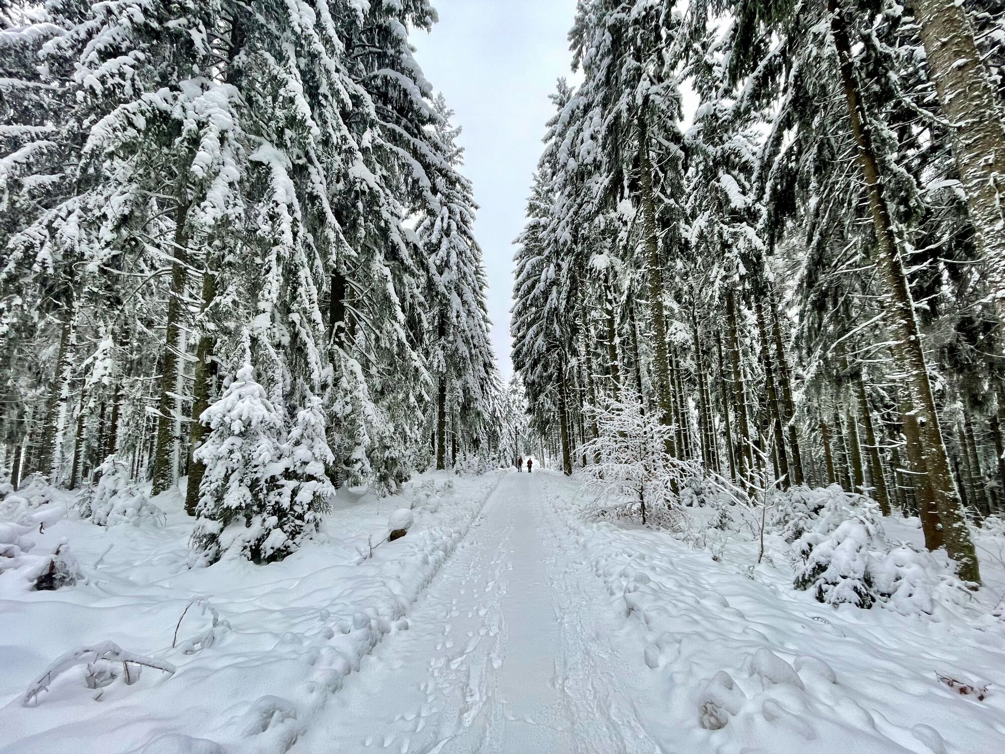
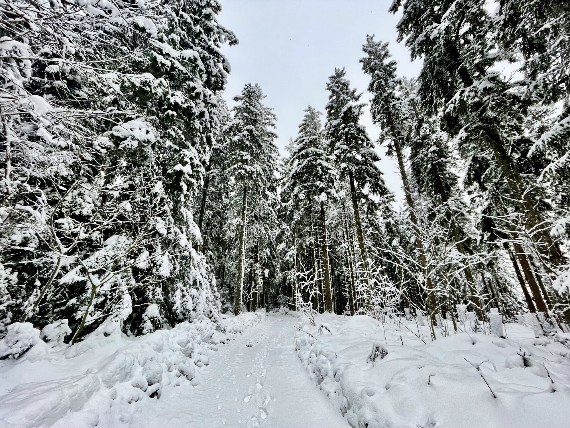
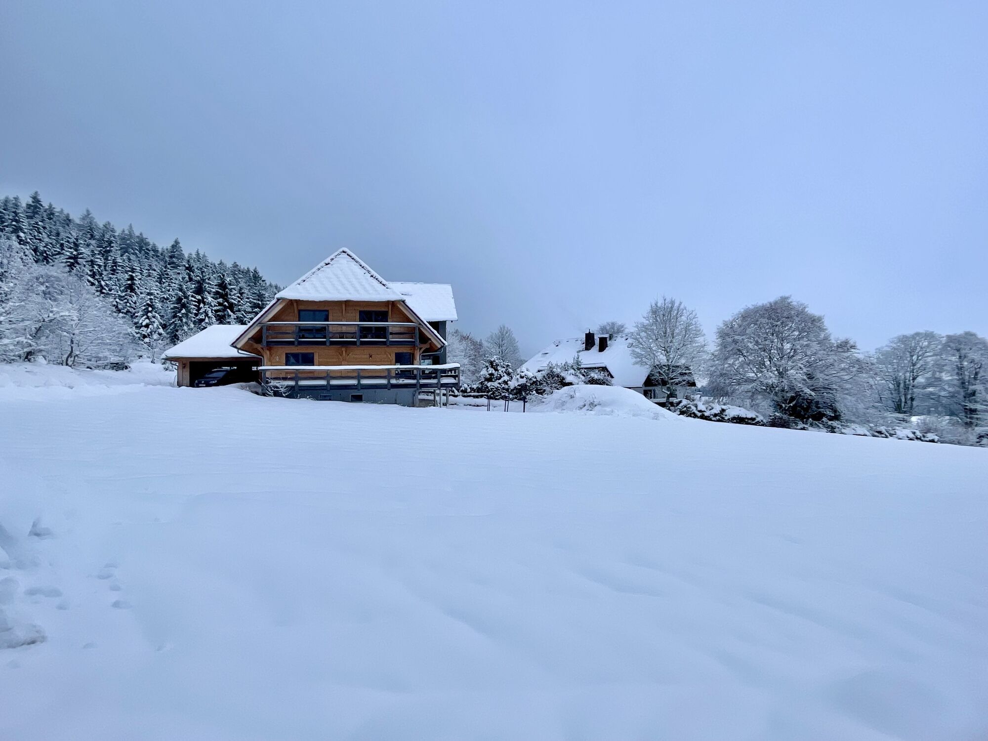
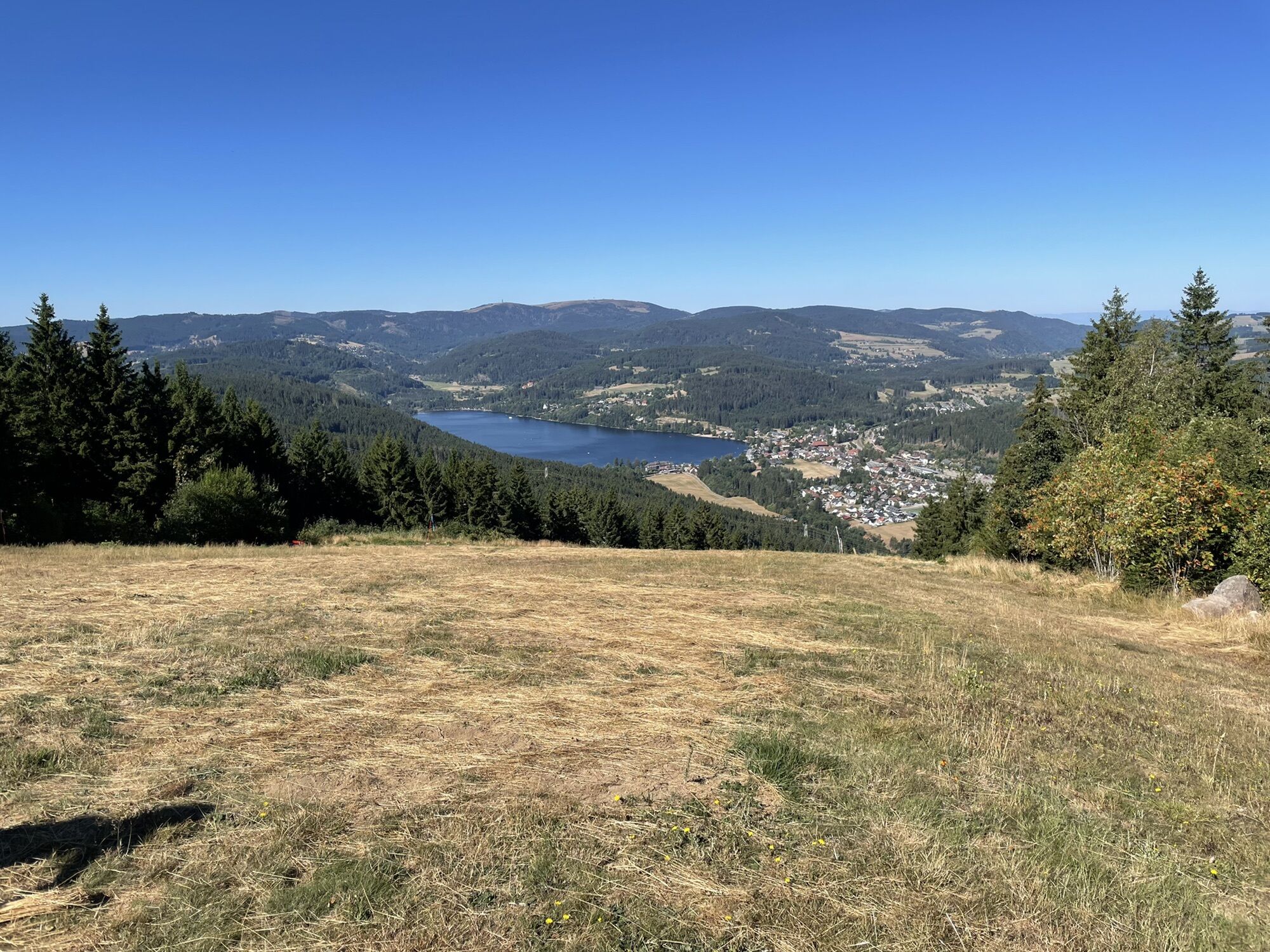
The tour leads from Lenzkirch over the "Hierakreuz" to Hochfirst. From there you can enjoy the Titisee in a different way. Without much hustle and bustle, you have a beautiful view of the Black Forest....
The tour leads from Lenzkirch over the "Hierakreuz" to Hochfirst. From there you can enjoy the Titisee in a different way. Without much hustle and bustle, you have a beautiful view of the Black Forest. On the way back it goes through the idyllic place Saig, which invites you with its cozy Refreshments for a break.

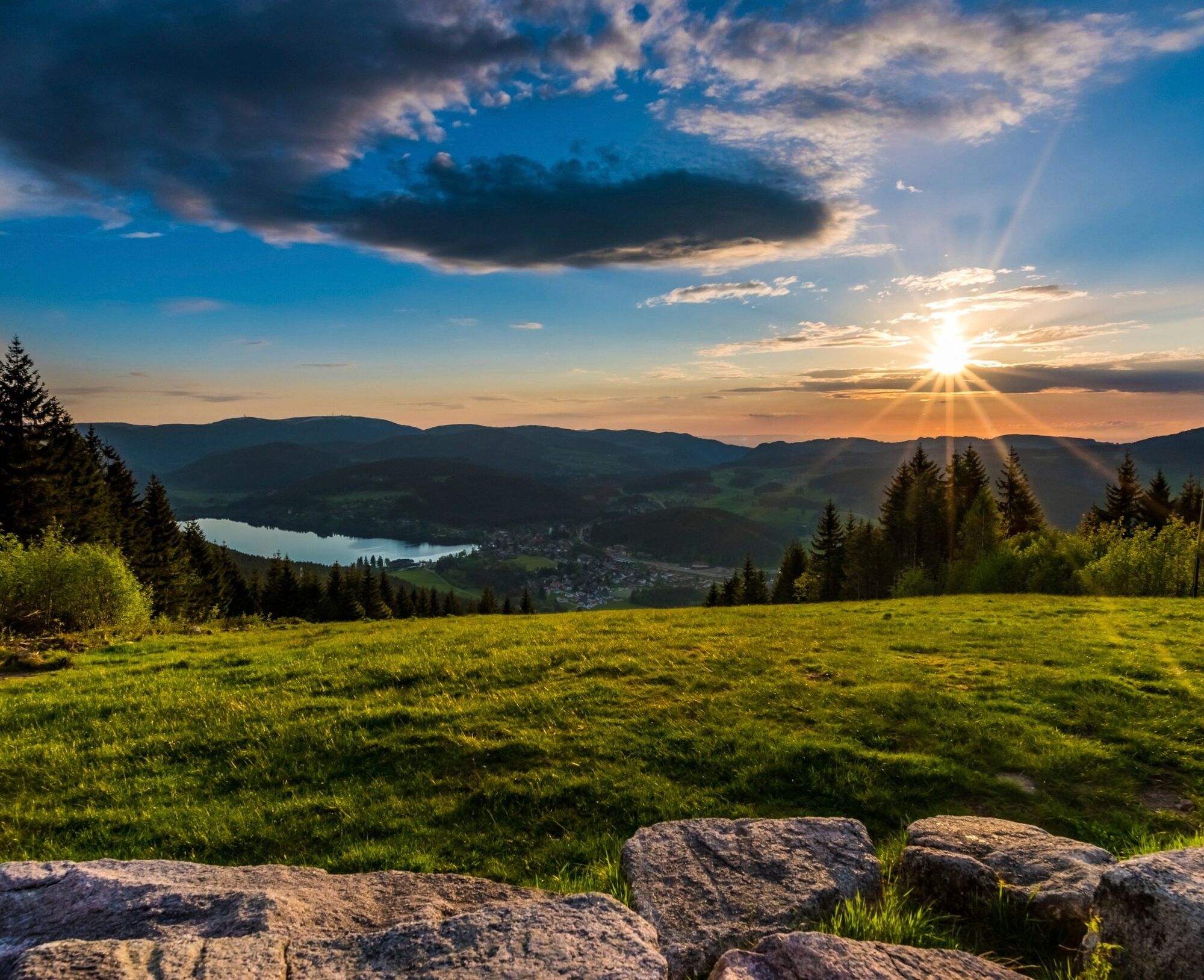
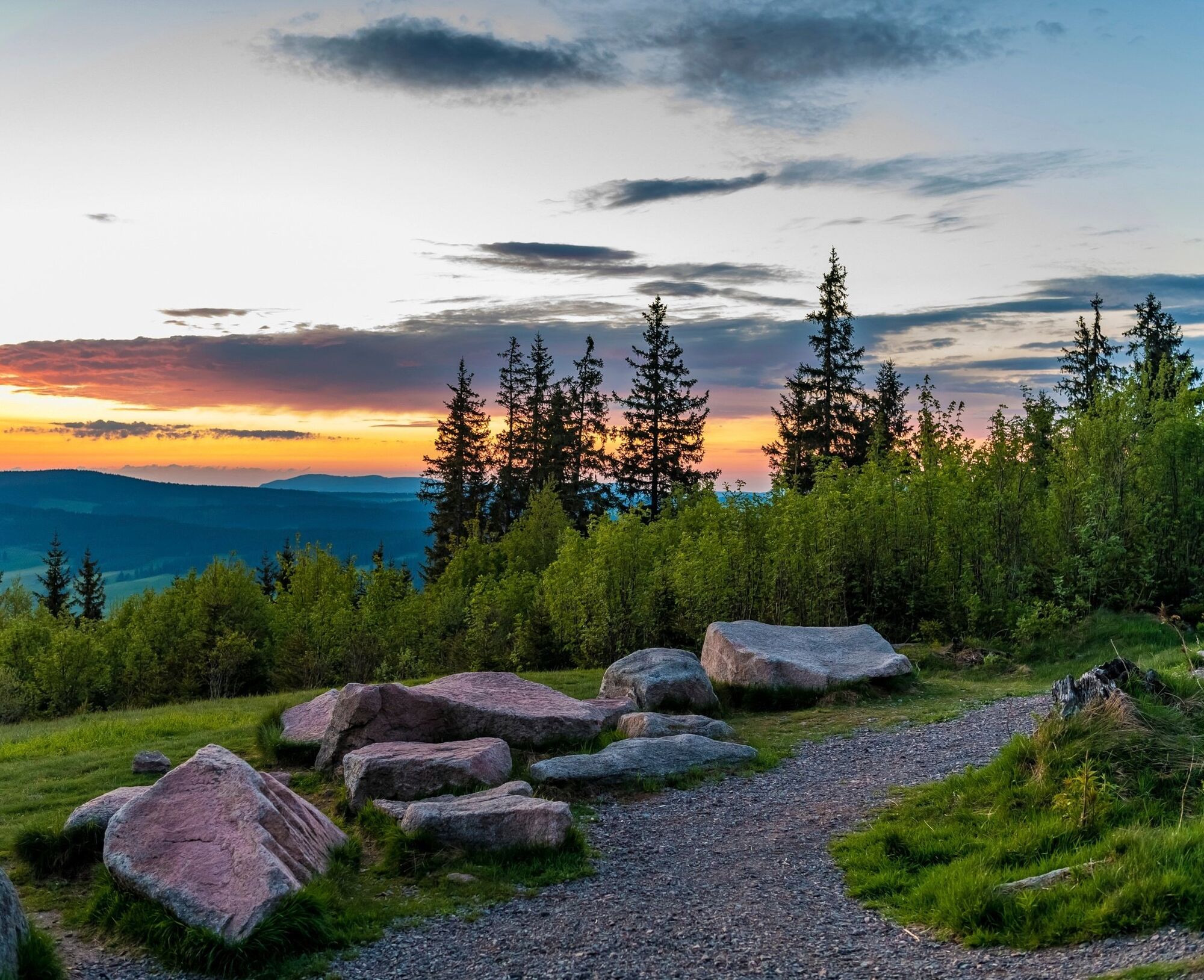

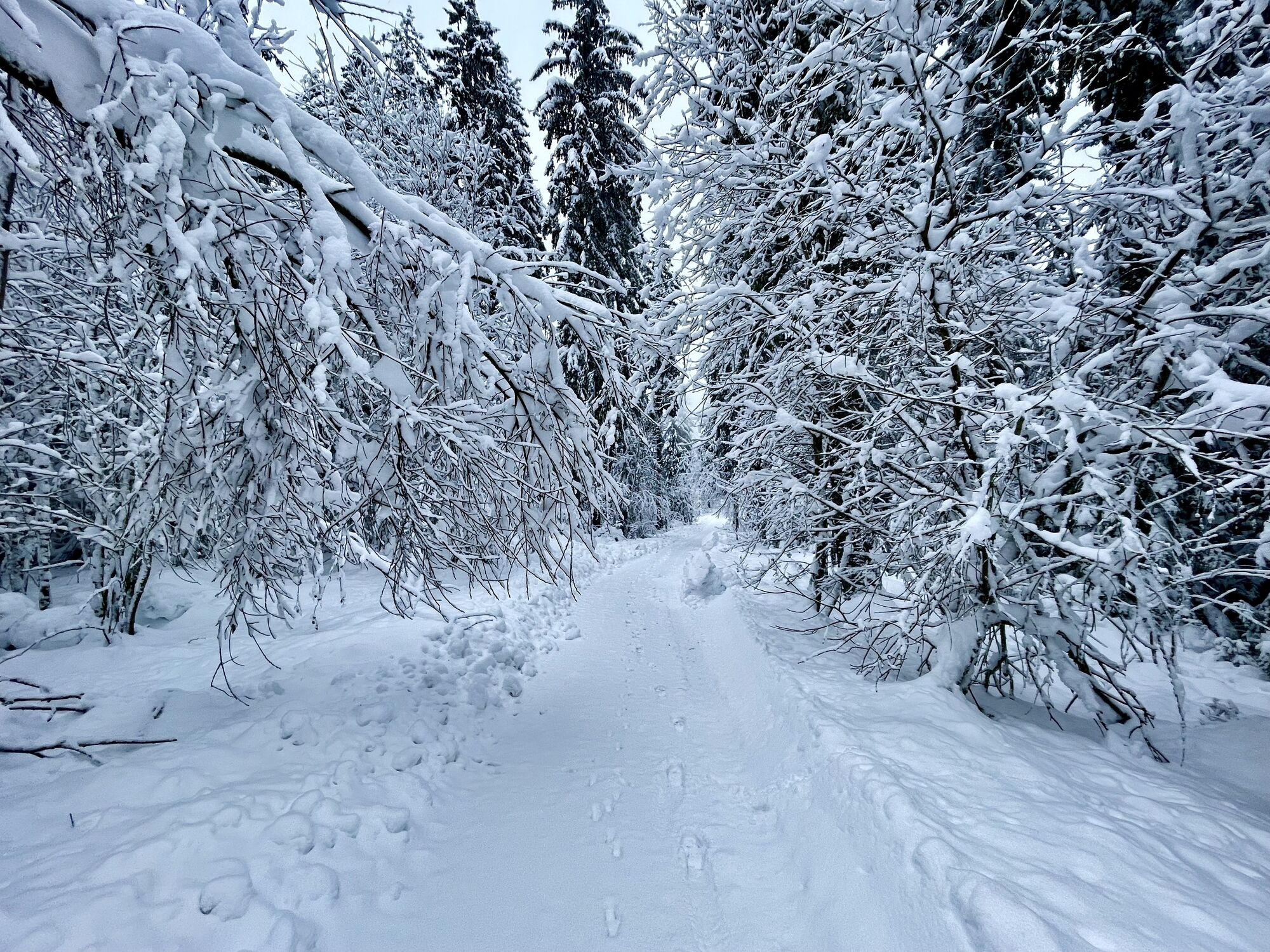
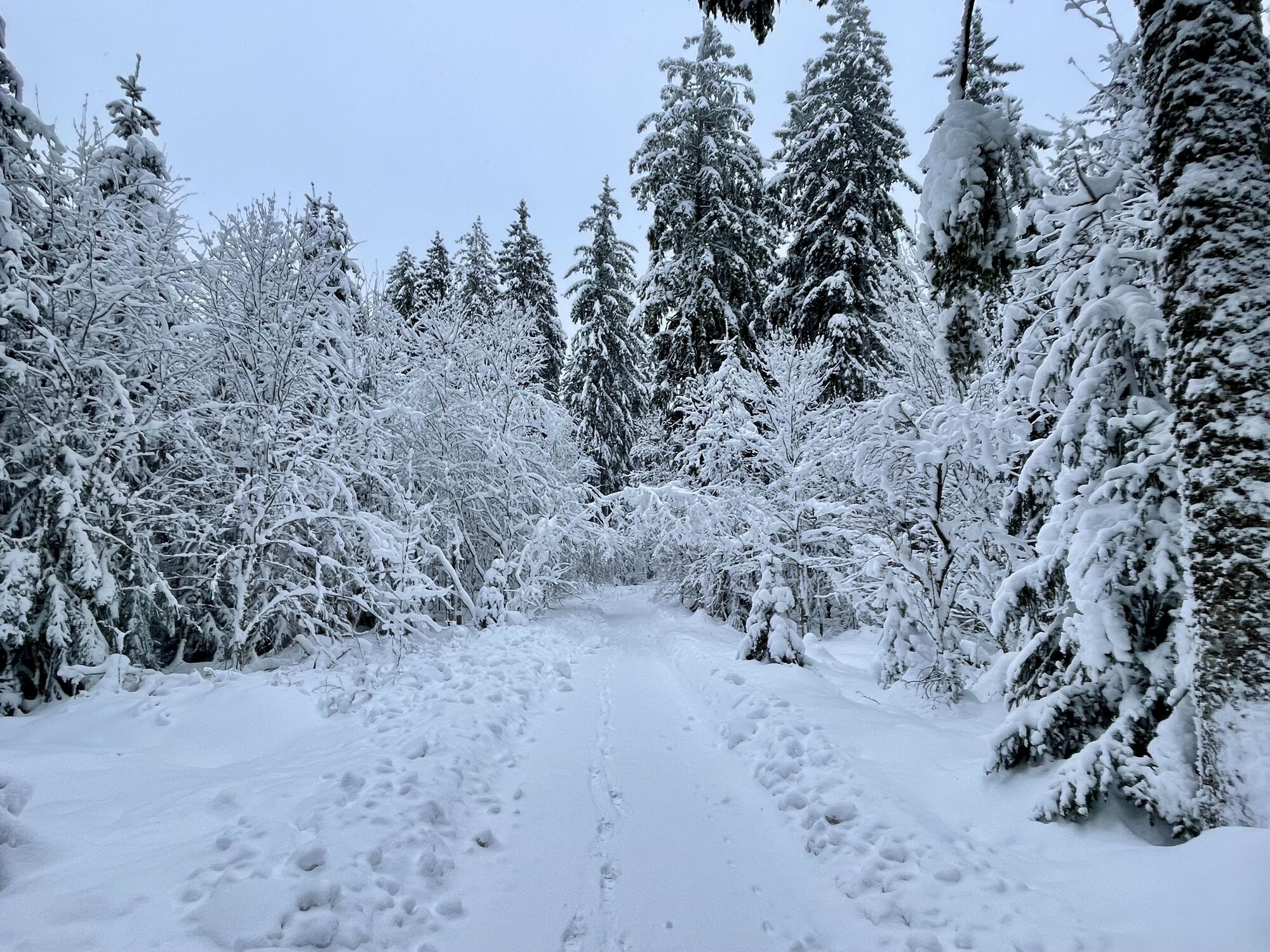
The starting point of the hike is the town hall in Lenzkirch. Your first few steps will take you through the idyllic town centre. Continue along the distinctive red rhombus with a white line directly into the spruce forest. Continuing uphill, you reach the tarmac connecting path from Saig to Kappel at the Hierakreuz cross, where a cosy bench invites you to take a short break. Then continue uphill. At the next signpost for Großmoos, follow the middle path to the Hierabrunnen fountain. Once you reach the Hierabrunnen, you will find a shelter equipped with benches and tables a few metres to the right in a clearing - the ideal place for a lunch break.
Once you arrive at the Balzenwaldhütte, you have reached the crest of the elongated Hochfirst ridge and thus mastered the final ascent. Our route on the Mittelweg and Freiburg-Bodensee cross-path (white-red diamond on a yellow background) takes you past the Vögelefelsen rock, where your gaze falls through a forest aisle down to the Ursee valley. The ridgeway now climbs only slightly and after 2 kilometres you have reached today's hiking highlight, the Hochfirstturm.
Now it's back downhill and the direct route back to Lenzkirch. Via the Luchsenfelsen rock, the hiking route takes you along the cross path past the Waldhaus signpost to Saig. A direct route, marked by a blue diamond, leads left via the Turmweg to the Vitenhof across meadows and through forests directly to Lenzkirch.
Ano
We recommend sturdy shoes!
Please pay attention to the signs on the hiking trail. You can find precise and detailed information about the signposts and the hiking guidance system on our website. Call 112 in an emergency.
From Freiburg:
B31 direction Neustadt, exit B317/B500 direction Basel/Feldberg/Waldshut-Tiengen/Schluchsee/Lenzkirch, on B315 to Lenzkirch
From Donaueschingen:
B31 direction Neustadt, exit B317/B500 direction Basel/Feldberg/Waldshut-Tiengen/Schluchsee/Lenzkirch, on B315 to Lenzkirch
From Lörrach:
B317 in the direction of Donaueschingen via Schopfheim, Zell im Wiesental, Todtnau, Feldberg, exit B315 to Lenzkirch
From Freiburg:
Take the S1 from Freiburg to Titisee (Schwarzw), bus 7257 Titisee towards Lenzkirch, get off at Lenzkirch Kurpark.
From Donaueschingen:
Take the S10 from Donaueschingen to Neustadt (Schwarzw), bus 7258 Neustadt direction Bonndorf, get off at Lenzkirch Kurpark.
From Lörrach:
By train SBB87816 from Lörrach to Zell im Wiesental, change to bus 7300 to Titisee, take bus 7257 to Lenzkirch Kurpark.
Kurhaus Lenzkirch, Kirchpl. 1, 79853 Lenzkirch oder gegenüber Kurpark, Kolumban-Kaiser-Straße
The observation deck of the Hochfirst tower offers an imposing view of the Feldberg massif, the Titisee and in good weather even up to the Alps.

Webové kamery z prohlídky


Oblíbené prohlídky v okolí
-
4.7
Black Forest Highlands heritage trail - mills and saws in the gorge
středníTuristika 7.42 km -
3.9
Seerundweg Titisee
světloTuristika 5.84 km -
4.2
Höhenklimaweg Titisee-Rundweg
středníTuristika 7.44 km -
4.4
Ravennaschlucht
Turistika 6.90 km -
3.9
From Titisee to the Hochfirst with its stunning views
středníTuristika 10.6 km -
4.8
Sonnenaufgang und Feldbergsteig
středníTuristika 11.6 km -
3.7
Premium Hiking Trail- Säbelthomaweg
středníTematická stezka 11.3 km -
4.7
Premium Hiking Trail - Rötenbach Gorge
středníTematická stezka 10.1 km -
4.7
Premium Hiking Trail - Menzenschwander Geißenpfad
středníTematická stezka 9.78 km -
4.0
Altitude on the Herzogenhorn
středníTuristika 11.1 km
Pěší turistika a stopování


Nenechte si ujít nabídky a inspiraci pro vaši příští dovolenou
Vaše e-mailová adresa byl přidán do poštovního seznamu.





