Navigace na stránkách
Pořiďte si tuto prohlídku do mobilního telefonu
Mapa
Explore Heiligenbronn on foot
střední
Turistika
8.78 km
Naskenujte QR kód a spusťte navigaci v aplikaci bergfex.
QR Code
Pěší turistika a stopování

Explore Heiligenbronn on foot

Vzdálenost
8.78 km
Doba trvání
02:10 h
Ascent
46 hm
Hladina moře
664 - 689 m

Úroveň obtížnosti: T1

Stažení skladby
Mapa
Explore Heiligenbronn on foot
střední
Turistika
8.78 km

The pilgrimage to the “Sorrowful Mother of God”, which dates back to the 14th century, has shaped Heiligenbronn and made it famous far beyond the state border. This hike leads through wide fields, dense...

Popis

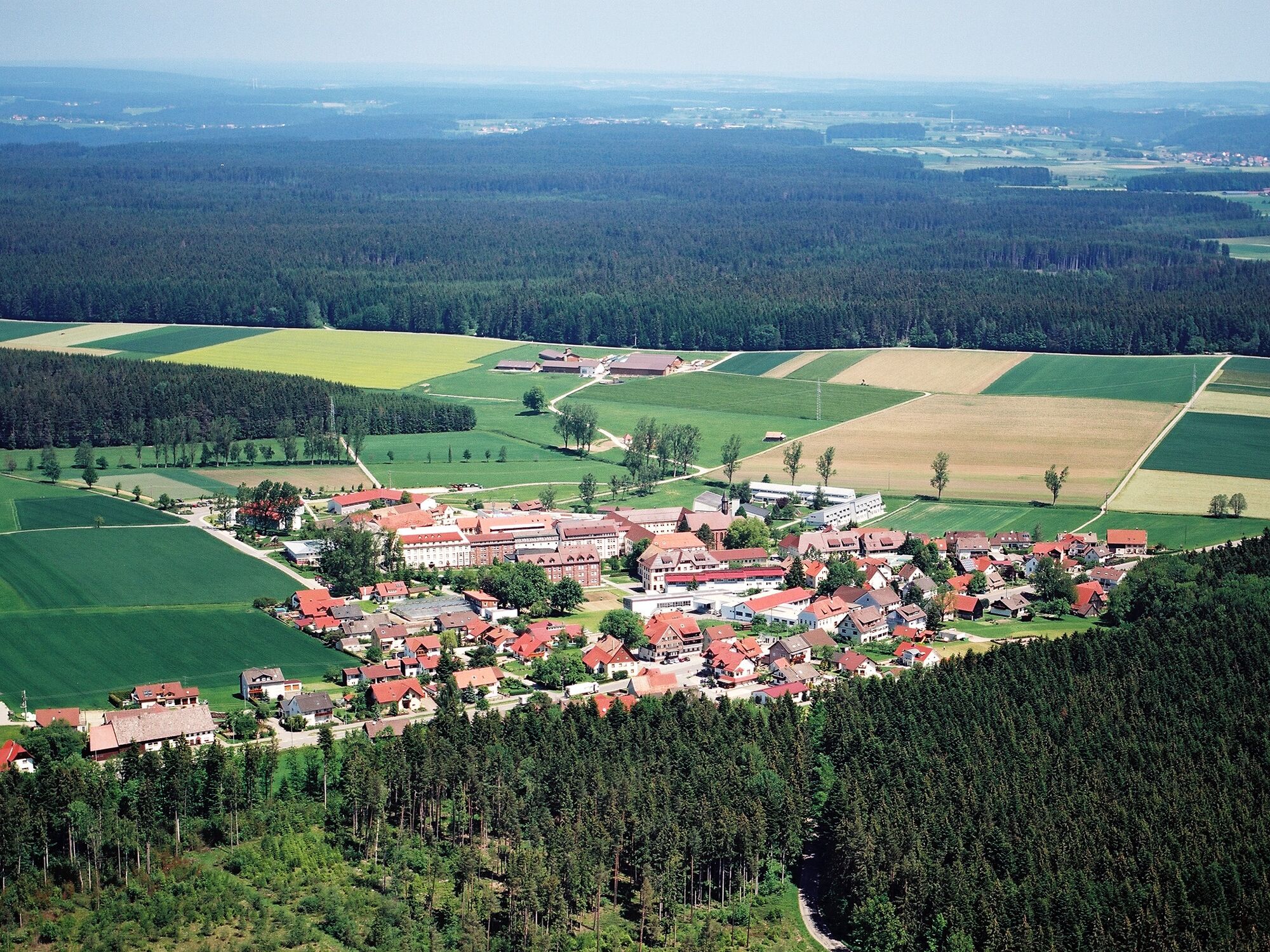
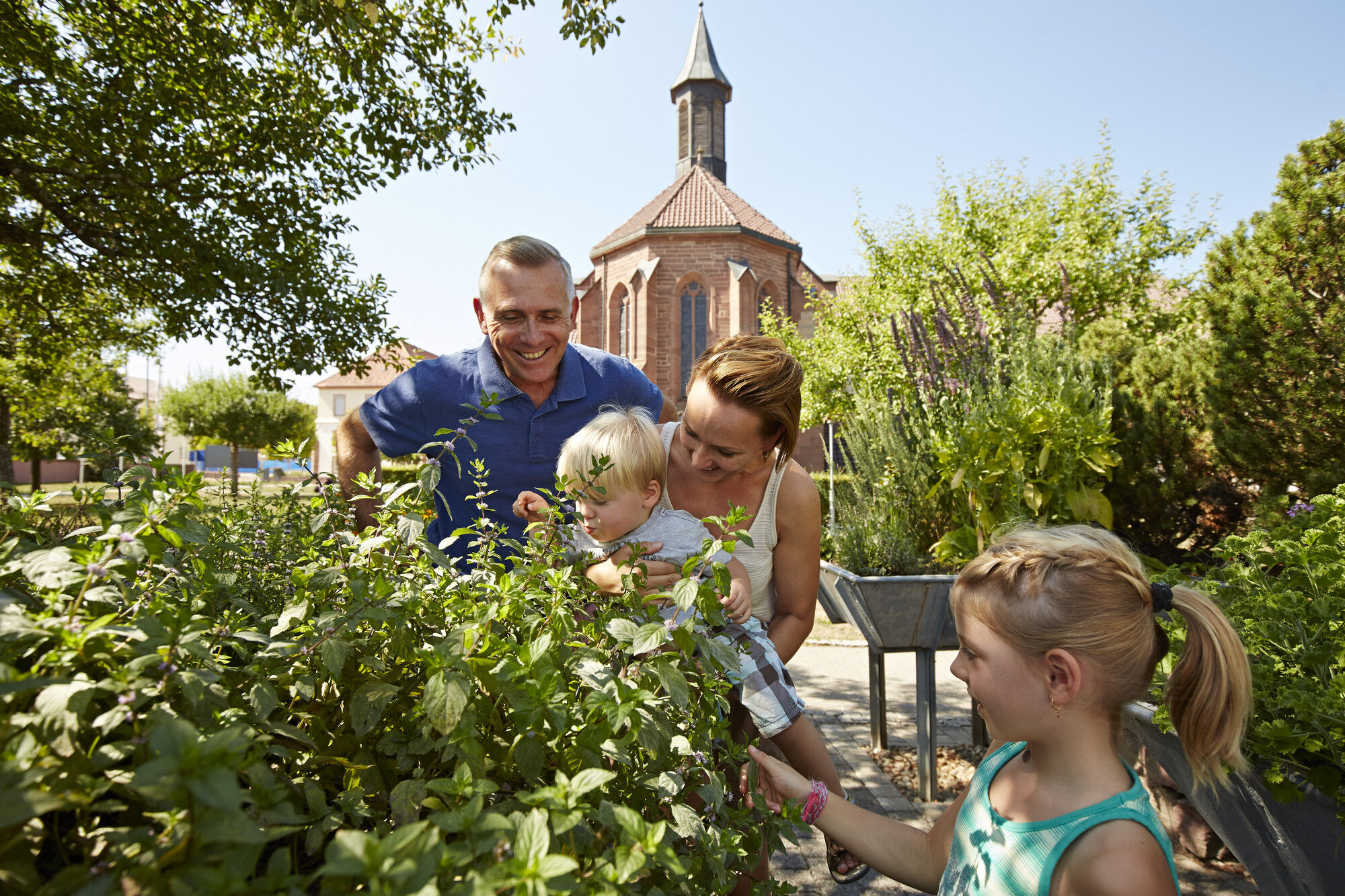
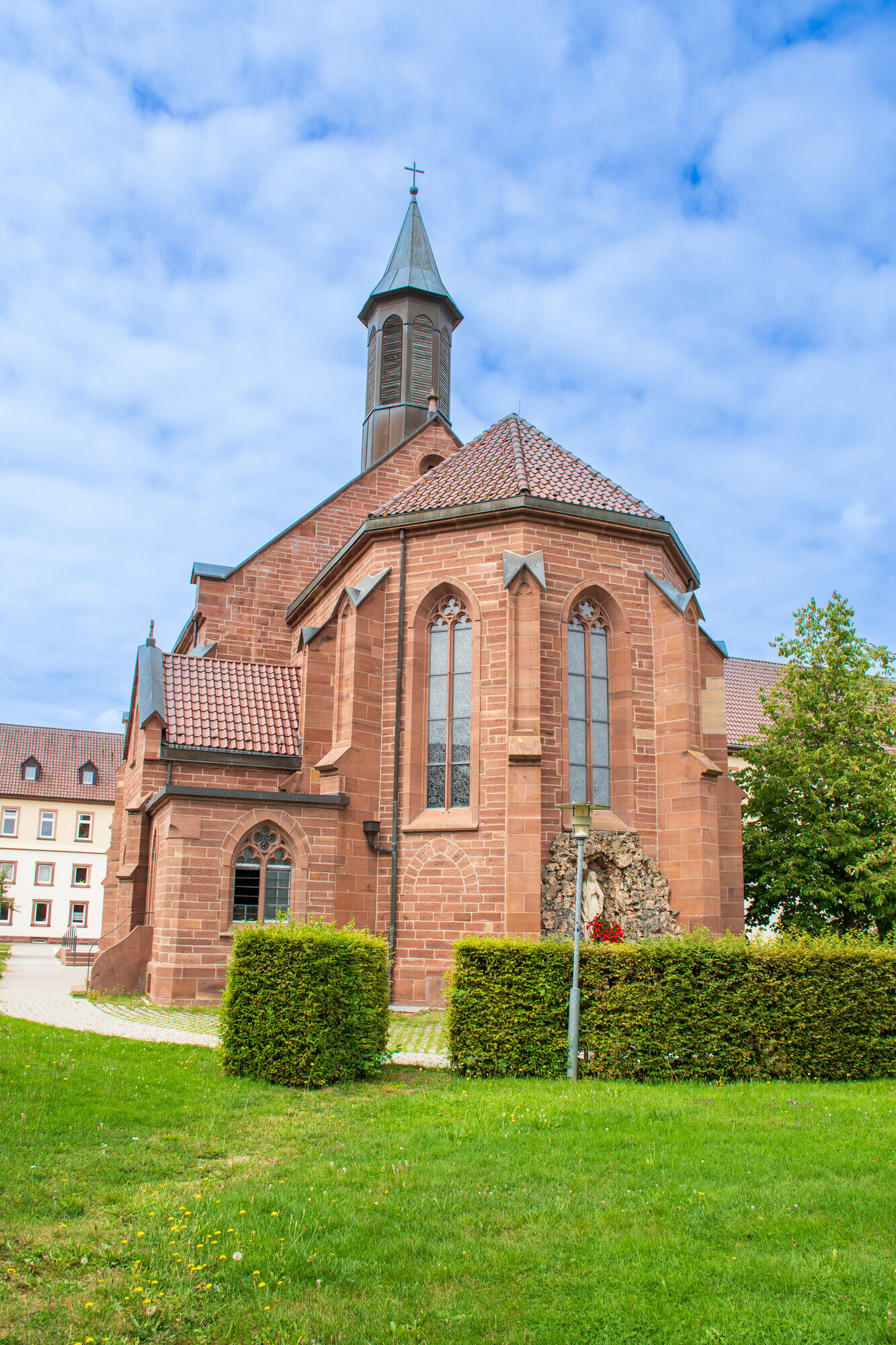
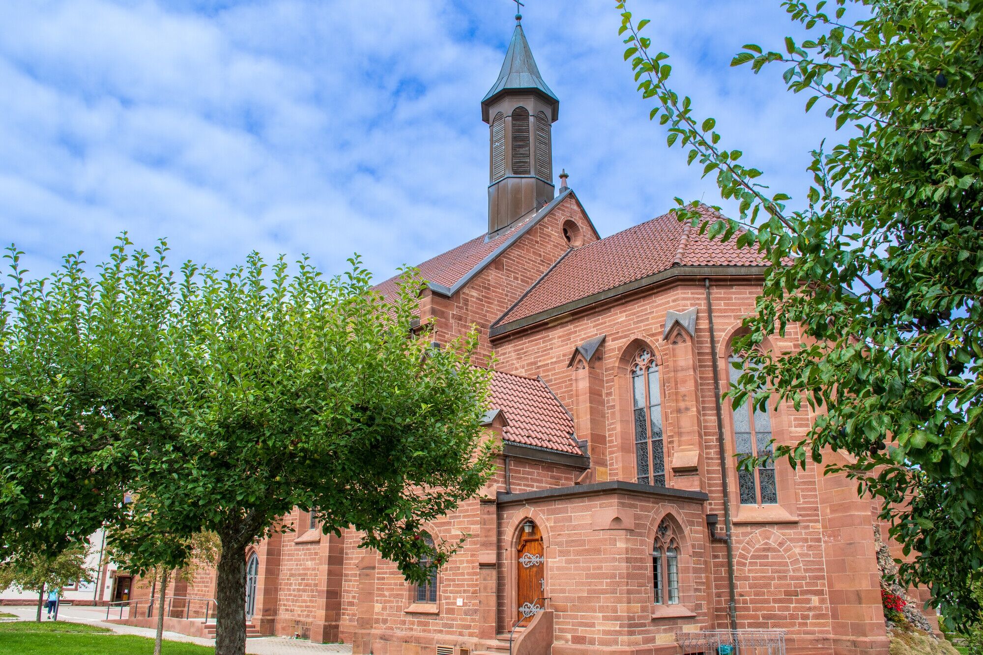
The pilgrimage to the “Sorrowful Mother of God”, which dates back to the 14th century, has shaped Heiligenbronn and made it famous far beyond the state border. This hike leads through wide fields, dense forest and isolated farmsteads – peace is guaranteed. At the end, a visit to the Garden of Senses at the monastery before going into the crypt of the pilgrimage church. Here flows the "Holy Bronnen" - the water that grants healing and life and gave Heiligenbronn its name.

Trasa
Klosterkirche St. Gallus
(670 m)
Místo konání bohoslužeb
0.0 km
Heiligenbronn
(679 m)
Vesnice
0.1 km
Hauskapelle
(672 m)
Místo konání bohoslužeb
0.1 km
Heiligenbronn
(679 m)
Vesnice
8.4 km
Klosterkirche St. Gallus
(670 m)
Místo konání bohoslužeb
8.6 km
Trasa
Mapa
Explore Heiligenbronn on foot
střední
Turistika
8.78 km
Klosterkirche St. Gallus
(670 m)
Místo konání bohoslužeb
0.0 km
Heiligenbronn
(679 m)
Vesnice
0.1 km
Hauskapelle
(672 m)
Místo konání bohoslužeb
0.1 km
Heiligenbronn
(679 m)
Vesnice
8.4 km
Klosterkirche St. Gallus
(670 m)
Místo konání bohoslužeb
8.6 km
Informace o prohlídce
Close to the sky
Technologie
1 / 6
Stav
3 / 6
Krajina
n.a.
Zkušenosti
n.a.
Celoročně přístupné
Led
Úno
Bře
Dub
Kvě
Čen
Čec
Srp
Zář
Říj
Lis
Pro
Autor
Poskytuje Kinzigtal
Logo
Sdílet prohlídku
Mapa
Explore Heiligenbronn on foot
střední
Turistika
8.78 km
Chyba
Došlo k chybě. Zkuste to prosím znovu.
Informace o trase
Trasa
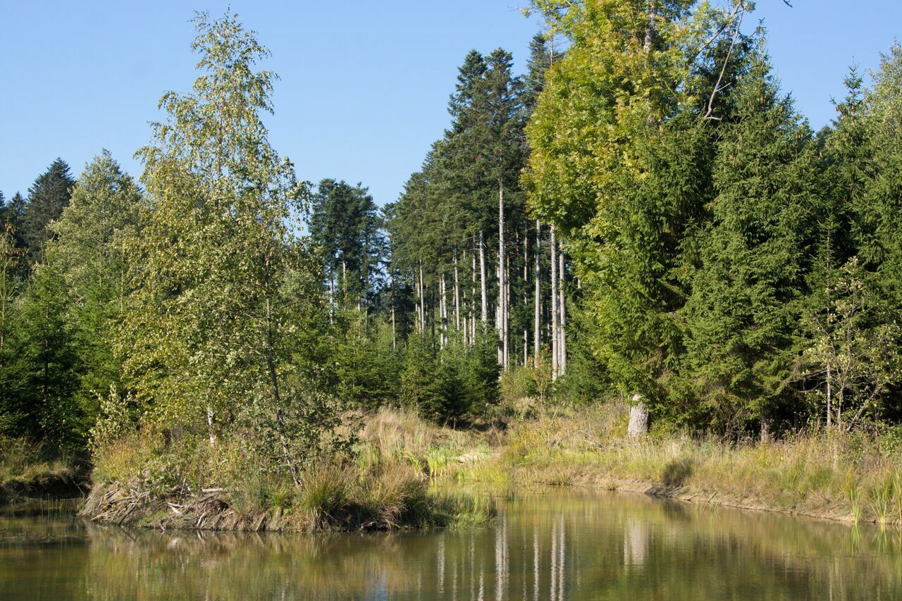
Start at the monastery signpost follow the yellow diamond towards Mooskäppele for 3.5 km, past numerous school and residential buildings of the “Stiftung St. Franziskus Heiligenbronn”, always straight ahead, turn into the footpath up to Bonaventura Hauser Street. Turn right here, pass a wayside shrine towards the forest. Straight into the forest on a wide forest road. Be careful just before leaving the forest at a fork, take the narrower path to the left, after a few meters at the first residential house and farmstead in Schachen turn left. The path leads through the farmyard and then across the meadow to Waldmössingen Street. On the district road, go briefly left and turn right at the first opportunity onto an asphalted country road. Straight ahead through the wide fields to the Mooskäppele signpost. Turn right here onto the field path towards the airfield, passing fields and meadows and a rest bench by a small stream. Take a left at the next opportunity, cross a ford to the edge of the forest. Straight through the forest to the airfield – signs indicate flight operations. At the road at the Speckwald signpost a detour to the airfield is possible on the left. At the weekend there is lively flight activity and the starts and landings can be well observed from the terrace of the Flugerstüble. Those who do not want to stop for a break continue straight at the Speckwald signpost towards Heiligenbronn on a gravel path. At the next crossroads turn right, well marked with the yellow diamond. Hard to believe, the path is called “Unterwegweg” – double is better. You reach a young forest area. Pass a small pond going slightly uphill. Now the path name changes, it is now called “Neubrunnenweg”. Soon a view opens onto Waldmössingen. At the Stiersetze signpost the path goes back into the forest, it is only a bit more than a kilometer to Heiligenbronn. Cross the road, then straight ahead over a bridge towards the first houses of Heiligenbronn. In the village turn right at the first opportunity, the flags of the monastery are already in sight. At the Monastery signpost then the choice: first to the Garden of Senses and then to the crypt or vice versa? In the Garden of Senses there is a sound island, a scent bench, a berry garden and much more. In the crypt of St. Gallus Church you can taste the valuable holy water.
Vhodné pro rodiny

Ano

Vybavení

No special equipment required. 

Informace o příjezdu
Parkování

Parking at the monastery church or at the school. 

Další informace a tipy
Úroveň obtížnosti

T1

Další informace
Points of interest along the way:  Heiligenbronn Monastery Complex 
Tipy
The tour is also stroller accessible. For the detour to the airfield, turn left at the Speckwald signpost (about 2 km round trip). 

Dining option: 

Hefterwaldstüble (Tel: 07422/52720) 

Zatím žádné recenze
Napište recenzi

Recenze pomáhají ostatním uživatelům při výběru dalšího dobrodružství. Hodnoťte prosím pouze prohlídku, nikoli počasí nebo svačinu.

Výběrem jedné z hvězdiček ohodnotíte prohlídku
Špatné turné
Slabé turné
Průměrné turné
Dobrá prohlídka
Vynikající prohlídka
bergfex logo Získejte přehled Vždy živě na místě s více než 9 500 webkamerami. bergfex Jako uživatel Pro si nyní můžete zobrazit odpovídající webové kamery pro mnoho prohlídek v aplikaci prohlídky z. Můžete si tak přímo prohlédnout aktuální podmínky.
Pěší turistika a stopování

Pěší turistika a stopování

Pěší turistika a stopování
Více než 550.000 návrhů výletů, podrobné mapy a intuitivní plánovač tras dělají z aplikace nezbytnou výbavu pro všechny milovníky přírody.
bergfex