







Themed route “Schenkenburg Ruin” Schenkenzell


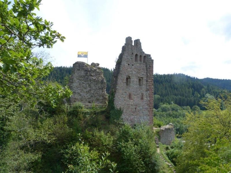
The Schenkenburg ruin is located halfway between Schenkenzell and Schiltach opposite the outdoor pool.
The village “Schenkencelle” was once surrounded by a ring of castles, namely Burgstall, Burg Schlössle,...
The Schenkenburg ruin is located halfway between Schenkenzell and Schiltach opposite the outdoor pool.
The village “Schenkencelle” was once surrounded by a ring of castles, namely Burgstall, Burg Schlössle, and Burg Wittichenstein. The three telescopes set up at the highest point of the ruin point to these.
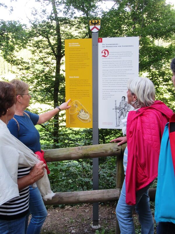
The castle round starts and ends at the barrier on the Lehen – Lower Slope hiking trail. The course of the castle round and the respective location are shown on each panel. The color scheme of the panels in yellow/white corresponds to the coat of arms of the Schenken family. On the right side of the panel, there is information about the builders and residents of Schenkenburg, the structures, the castle hotel, the search for precious ores and much more. On the left side of the panel, there are smaller texts about castles, knights, and life at the castle.
All written in an understandable way for both adults and children.

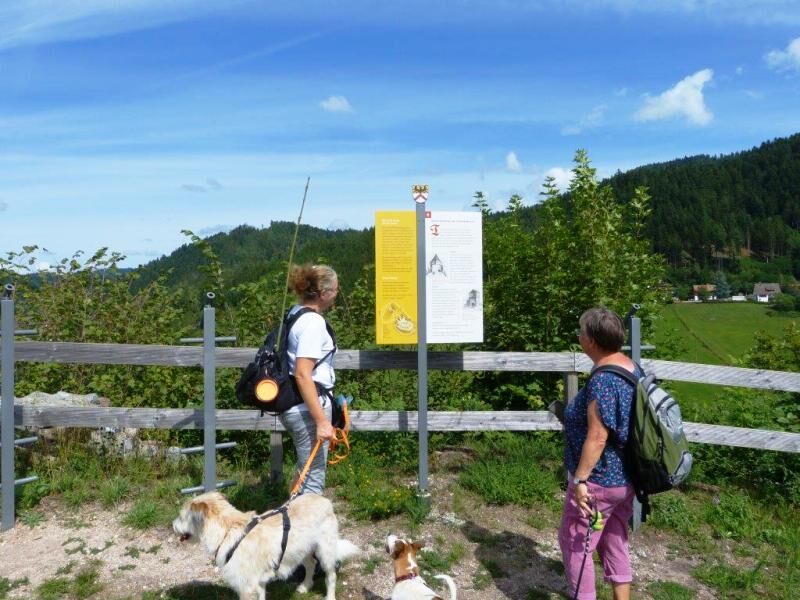
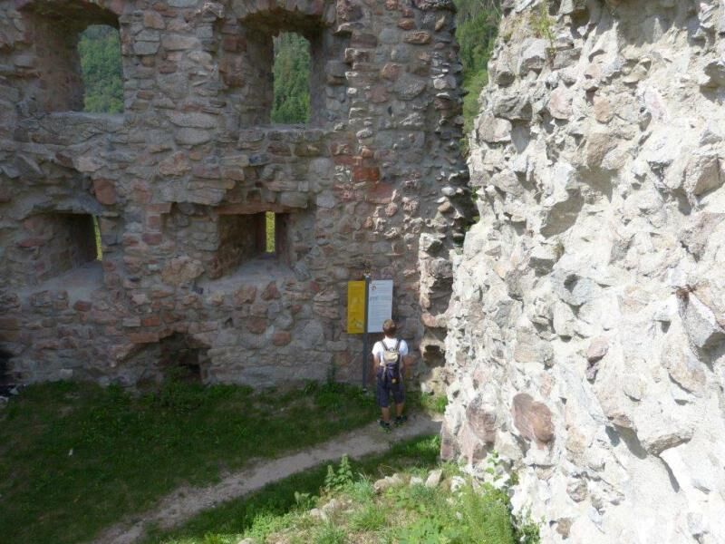

You start at the barrier at the Schenkenburg ruin.
At panel 1, coming from Schenkenzell, turn left at the small shrine. The route via station 2 requires some accuracy at times. Therefore, you can turn right at the fork to take an easier path directly to station 3.
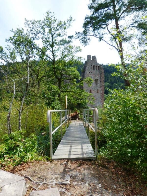
To station 2, go up the wide road on the left and after about 50 meters turn left. Follow the narrow path straight ahead and at the fork turn left. Over the stone steps and the suspension bridge, you reach station 2. Here you can enjoy the wonderful view of the ruin and the Kinzig valley.
Now follows the descent over the stone steps to station 3. Then go left up to the ruin via the stone stairs and turn left again; then you reach station 4, which is inside the ruin. Now follow the narrow path along the wooden railing to station 5 and about 10 meters further up you are on the platform at station 6. Take a moment to catch your breath and enjoy the view!
When you feel ready again, go left down over the stone steps, then immediately left towards the pavilion. If you have a snack with you, this would be a good opportunity to refresh yourself.
Then you go down the stone stairs with wooden handrail – continue straight ahead and at the end of the large square you find station 7 “Built twice – lasts better” on the right side.
Directly opposite on the left side, it goes downhill towards station 8. After about 20 meters, immediately left again, follow the path straight ahead; then station 8 is right at the edge of the path.
You now follow this path straight ahead and after about 50 meters turn left. Walk this path about 50 meters slightly uphill, then turn right, follow the path straight ahead and you will soon reach station 9.
Follow this path further straight ahead and after a few meters you arrive at the last station 10 called: “In search of precious ores.”
Now continue straight ahead on this path and after about 300 meters you will be back at the starting point.
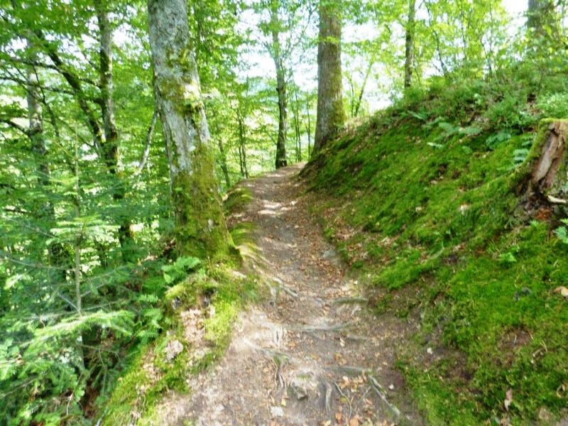
This approx. 1 km long themed route through intact nature and a very romantic setting goes over roots and stones, uphill and downhill. Good footwear is required, and you should also be free from dizziness. The path is absolutely not suitable for strollers and not for cyclists or MTB riders either, but: The path is adventurous and educational – it's worth it!
Transport connections:
German Rail. Offenburg-Freudenstadt line: take the OrtenauSBahn to Schenkenzell station
Bus connections: Schenkenzell-Kaltbrunn, Schenkenzell-Reinerzau, Schenkenzell-Alpirsbach, Schenkenzell-Schiltach.
Park free of charge at the station in Schenkenzell.
From there, walk about 300 meters alongside the B294 towards Schiltach.
Before the railway underpass, turn right towards the Schenkenburg ruin.
After about 500 meters, you reach a barrier – here follow the signage
for the themed route.
Below the Schenkenburg ruin, there is a place to stop for food and drink:
Pizzeria Schenkenburg, Schenkenburg 100, 77773 Schenkenzell,Tel.: 07836 / 26 66, open daily from 11:30 a.m. to 2:00 p.m. and from 5:00 p.m. to 11:00 p.m., open until 10:00 p.m. on Sundays and public holidays, closed on Tuesdays!
Opposite the Schenkenburg ruin is the large shared outdoor pool Schiltach / Schenkenzell with a large sunbathing lawn and a wonderful view of the ruin.
Opening hours: May – September
Získejte přehled Vždy živě na místě s více než 9 500 webkamerami. bergfex Jako uživatel Pro si nyní můžete zobrazit odpovídající webové kamery pro mnoho prohlídek v aplikaci prohlídky z. Můžete si tak přímo prohlédnout aktuální podmínky. Oblíbené prohlídky v okolí
- 4.6
Bad Rippoldsau - Cafe & Restaurant Zum Schlüssel - Klösterle - Burgbachwasserfall
středníTuristika 11.2 km - 4.8
AugenBlick-Runde Lauterbach Güntersberg
světloTuristika 10.2 km - 3.0
Lauterbach High Valley Circuit in the hiking paradise Alb - Black Forest
světloTuristika 10.7 km Über die Höhen des Schwarzwaldes ins Wolftal
Turistika 24.7 km- 5.0
Wolfach settlers' loop large round
středníTuristika 9.04 km Gemütliche Radtour zum Zwieselberg
Jízda na kole 15.1 km- 5.0
Schiltach: Schenkenburg - Kaibach - Circular route
středníTuristika 12.3 km - 5.0
Premiumweg Wolfacher Schlossblick
středníTuristika 7.12 km - 5.0
AugenBlick Route Schramberg-Tennenbronn
středníTuristika 9.11 km - 4.5
Kirnbacher-Bollenhut-Talwegle - Winterberg path
středníTuristika 9.56 km
Pěší turistika a stopování


Nenechte si ujít nabídky a inspiraci pro vaši příští dovolenou
Vaše e-mailová adresa byl přidán do poštovního seznamu.





