






Adventure trail around “Mugg's Brunnen” (Muggenbrunn)
Mugg's themed circular trail for the whole family
Welcome to the Muggenbrunn adventure trail! Over a total length of 8 km (approx. 2-3 hours walking time), you can experience the various facets of the high-altitude...
Mugg's themed circular trail for the whole family
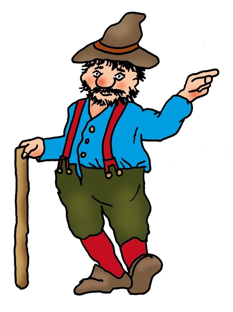
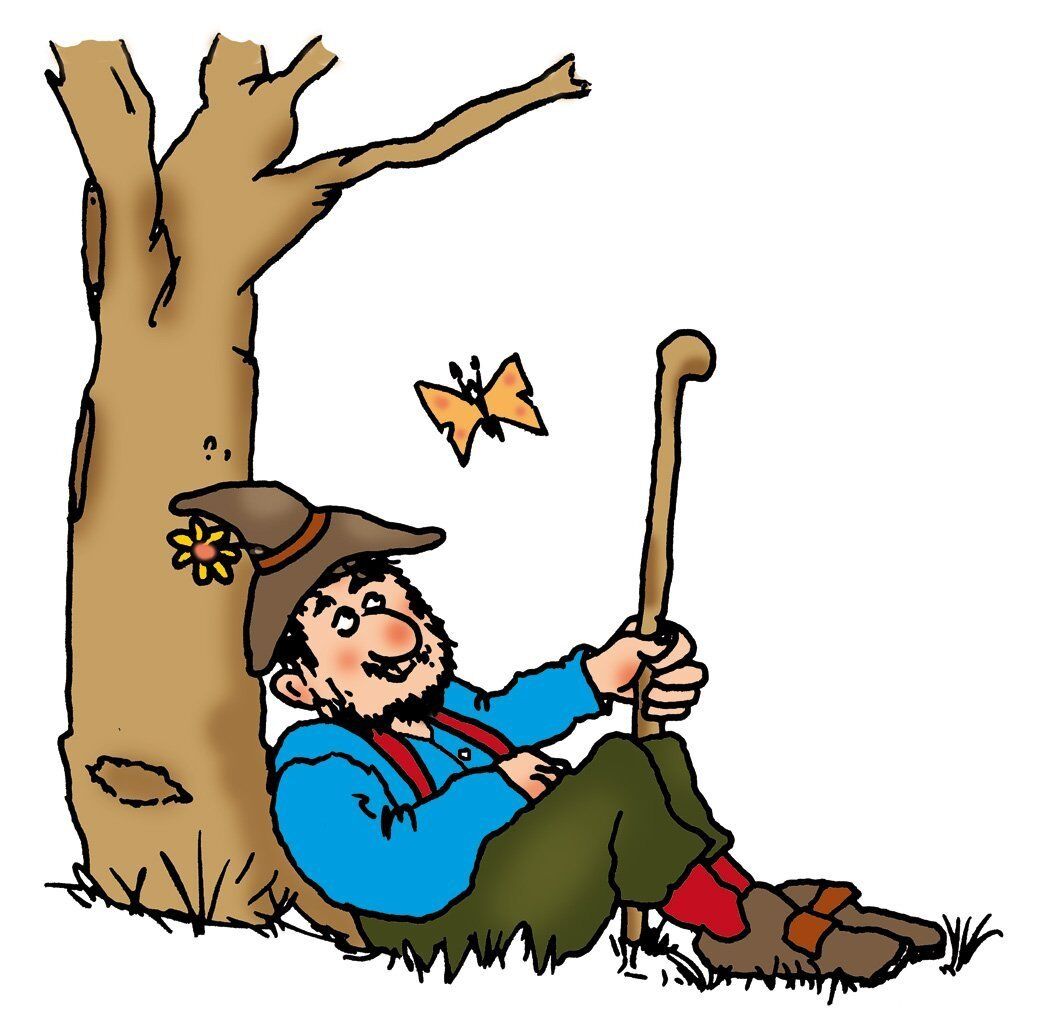
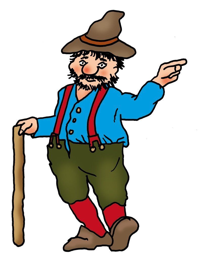
Welcome to the Muggenbrunn adventure trail! Over a total length of 8 km (approx. 2-3 hours walking time), you can experience the various facets of the high-altitude climatic health resort of Muggenbrunn. On the one hand, the wonderful mountain world nature with the Felsenwegle, various forests, Allmendweiden, wonderful panoramic views and local waters. There are 11 themed stations providing interesting information about the history of the village, village life, nature and the environment. The hermit and first settler who lived here, the “Mugg”, leads the way. You can listen to a short story about his everyday life in the beautiful Black Forest Highlands at each station with the help of a QR code scanner on your own smartphone in the local Alemannic dialect or read it in advance at www.mein-muggenbrunn.de


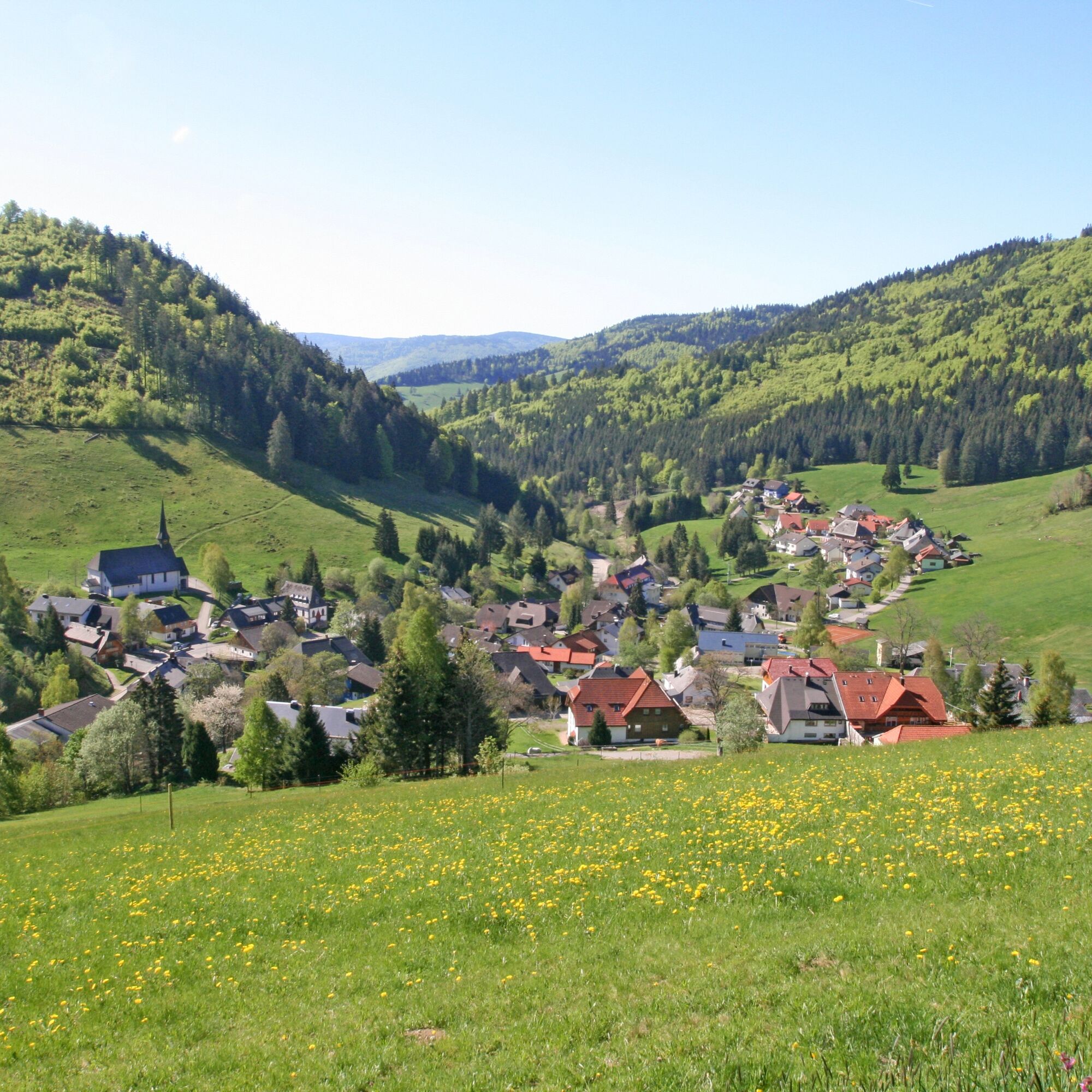
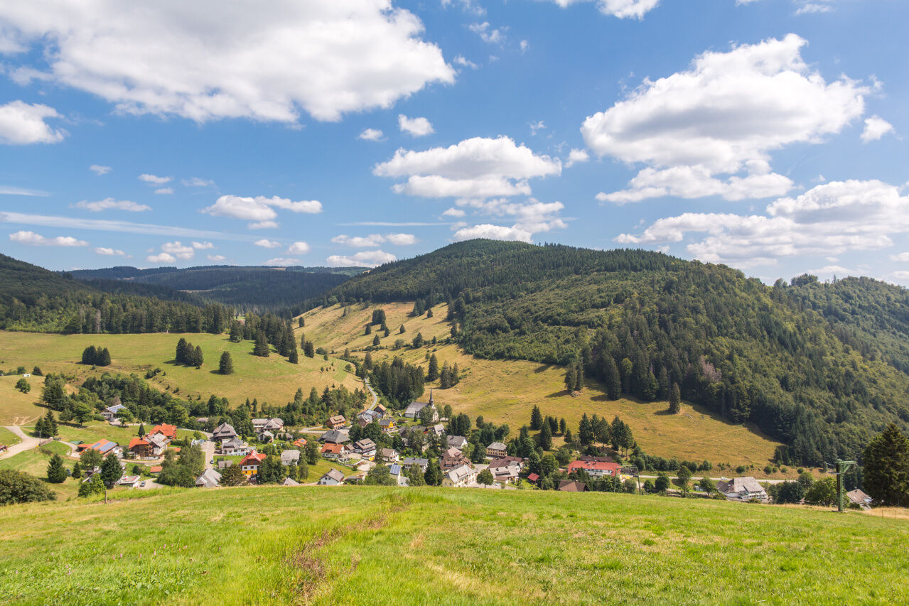
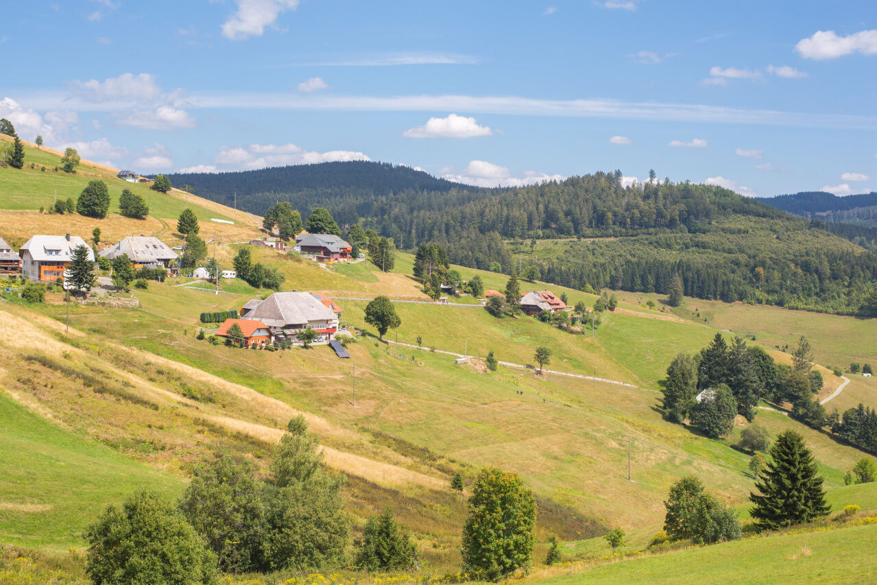
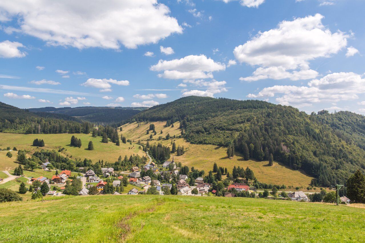
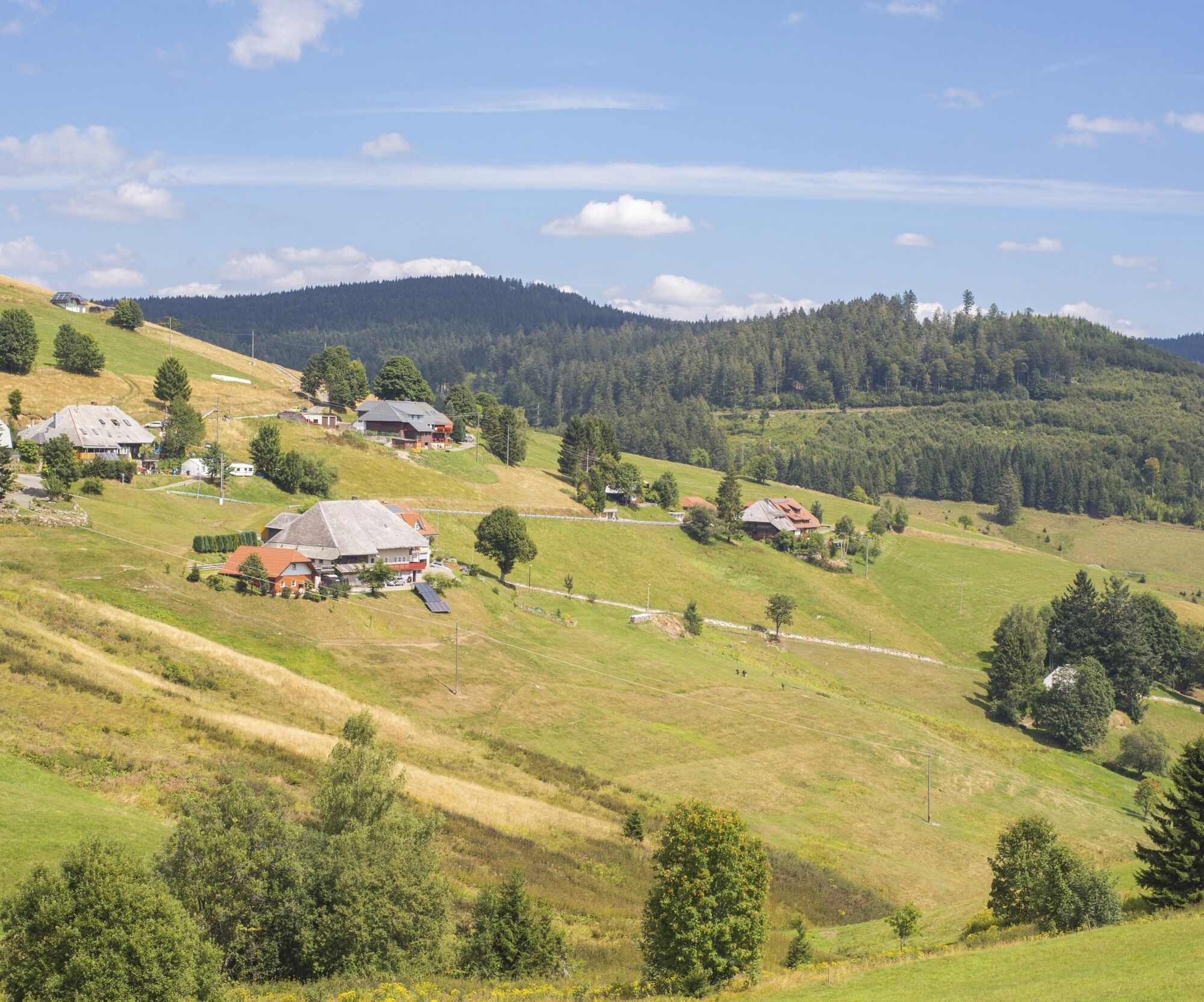
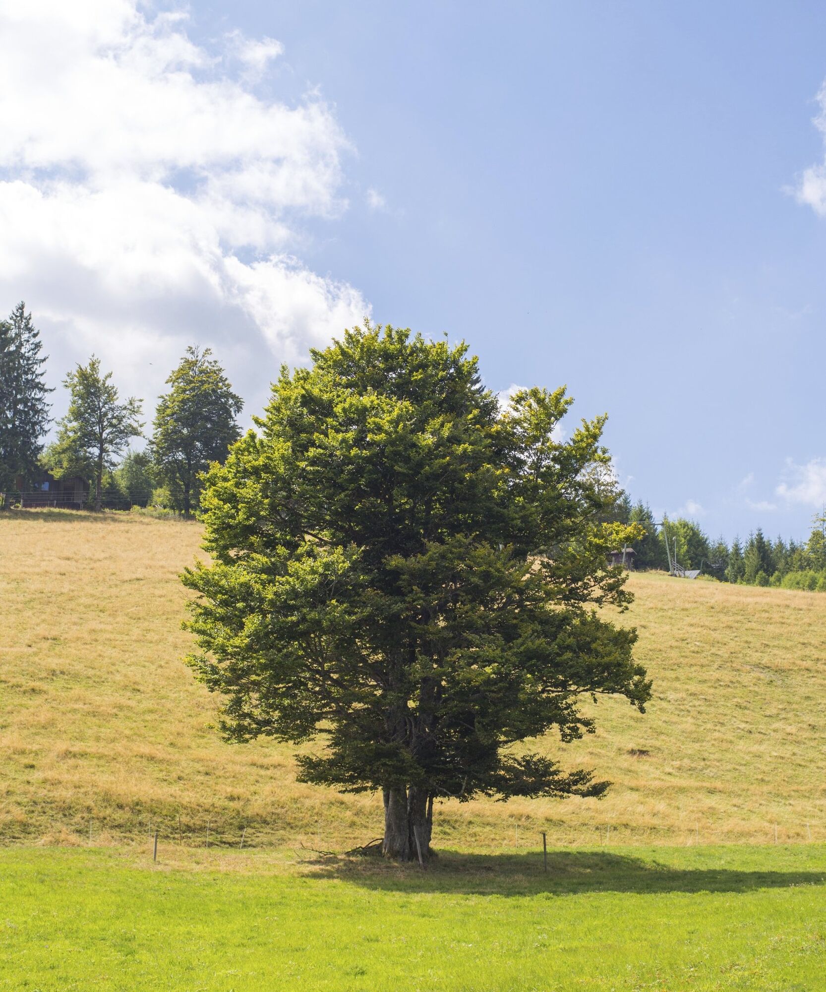


You start at the village square in Muggenbrunn. Walk along Hohfelsstraße to signpost no. 1 and learn about the forest and forestry. You follow the markings and learn about fortifications and the history of Türken-Louis at signpost no. 2. At the top of the Franzosenberg, a fantastic view over Muggenbrunn awaits you. On board no. 3, you will learn how winter sports came to Muggenbrunn. The trail continues past pastures and meadows and panels 4 and 5 are all about pastures, nature and the fantastic view. From here, the trail enters the Trubelsbachtal nature reserve. On board no. 6 you will find out what makes this area so special. After the Trubelsbachtal valley, you pass the snail rock (board 7) and walk along the barefoot path. Here you can cool off at the fountain, enjoy a foot massage on the barefoot path (board 8) and take a break at the barbecue hut. You cross the country road, walk downhill along the parking lot and then turn left up to the edge of the forest to board no. 9. You continue over the Heubühl to the Holzschlagbach (board 10). You have now almost reached your destination. Follow the signs, look for the treasure (board 11) and return to the starting point.
Ano
Ano
Ano
We recommend sturdy shoes! The path is not suitable for baby carriages.
Directions to the starting point
Car park centre of Muggenbrunn, Franzosenbergstraße 6, 79674 Todtnau
Webové kamery z prohlídky
-
Todtnauberg - Haus Keller
-
Todtnau - Aftersteg
-
Todtnau - Aftersteg
-
Todtnauberg - Bucklift
-
Talstation Winkellift
-
Heidstein
-
Skilift Wiedenereck
-
Scheuermatthof
-
Haldenköpfle - Talstation Lift 2
-
Haldenköpfle - Talstation Lift 1
-
Haldenköpfle - Talstation Lift 1
-
Todtnauberg
-
Todtnauer Hasenhornturm
-
Todtnauer Hasenhornturm
-
Todtnauberg Stübenwasenlift
-
Todtnauberg
Získejte přehled
Vždy živě na místě s více než 9 500 webkamerami. bergfex Jako uživatel Pro si nyní můžete zobrazit odpovídající webové kamery pro mnoho prohlídek v aplikaci prohlídky z. Můžete si tak přímo prohlédnout aktuální podmínky.
Oblíbené prohlídky v okolí
-
4.7
Black Forest Highlands heritage trail - mills and saws in the gorge
středníTuristika 7.42 km -
4.2
Belchensteig
středníTuristika 14.8 km -
3.8
Premium Hiking Trail- Säbelthomaweg
středníTematická stezka 10.9 km -
4.0
Altitude on the Herzogenhorn
středníTuristika 11.1 km -
5.0
Premium Hiking Trail - Menzenschwander Geißenpfad
středníTematická stezka 10.3 km -
3.7
Rundweg zum Todtnauer Wasserfall
světloTuristika 6.06 km -
4.3
Mystical path to the Mathisleweiher pond
středníTuristika 8.94 km -
4.8
Sonnenaufgang und Feldbergsteig
středníTuristika 11.6 km -
3.4
Auf ruhigen Wegen von Todtnauberg nach Todtnau
středníTuristika 10.2 km -
4.2
Ravennaschlucht
Turistika 6.90 km

Pěší turistika a stopování


Nenechte si ujít nabídky a inspiraci pro vaši příští dovolenou
Vaše e-mailová adresa byl přidán do poštovního seznamu.





