






From Friedrichshafen to Kressbronn and the idyllic, lake-rich landscape

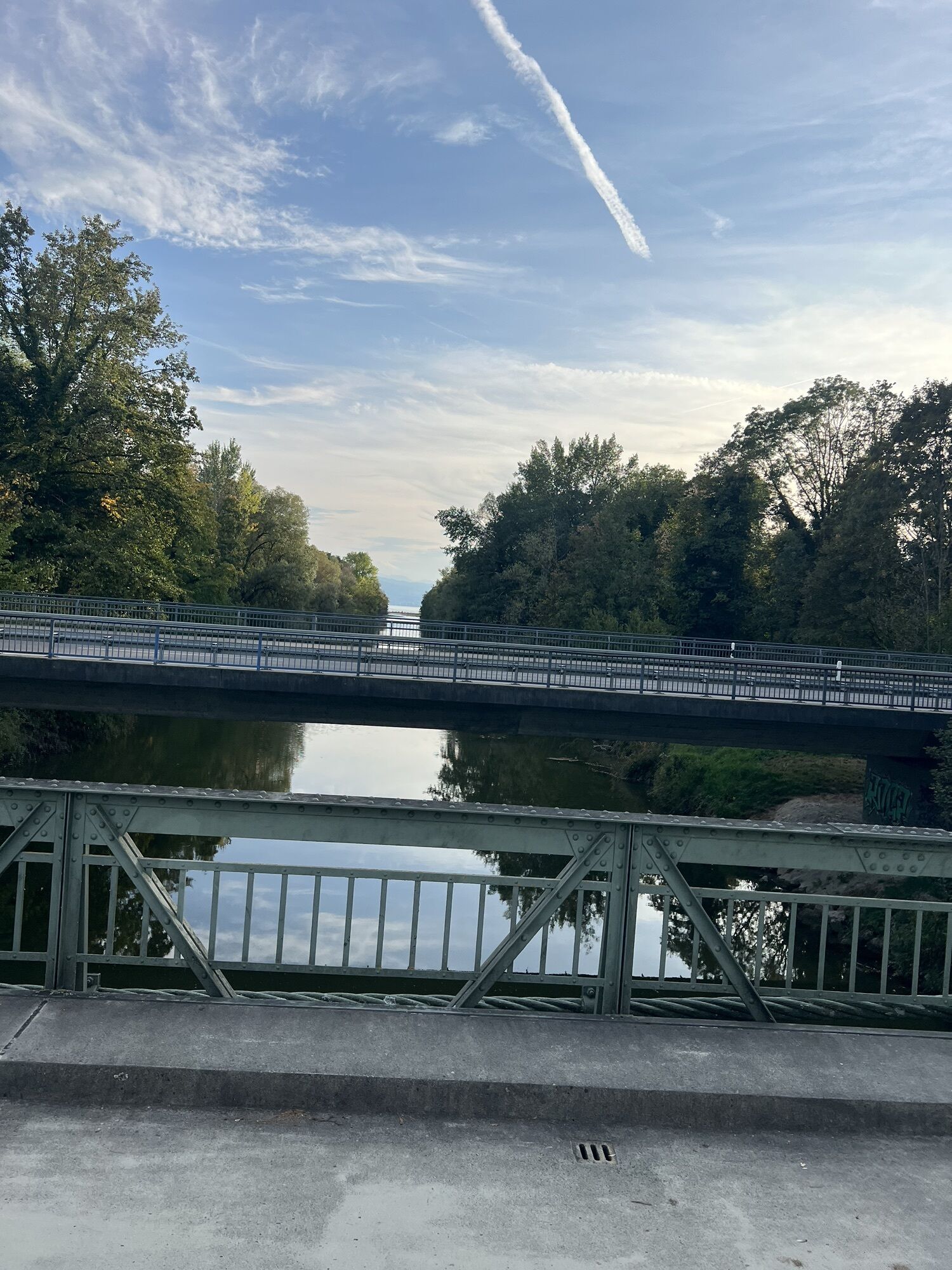
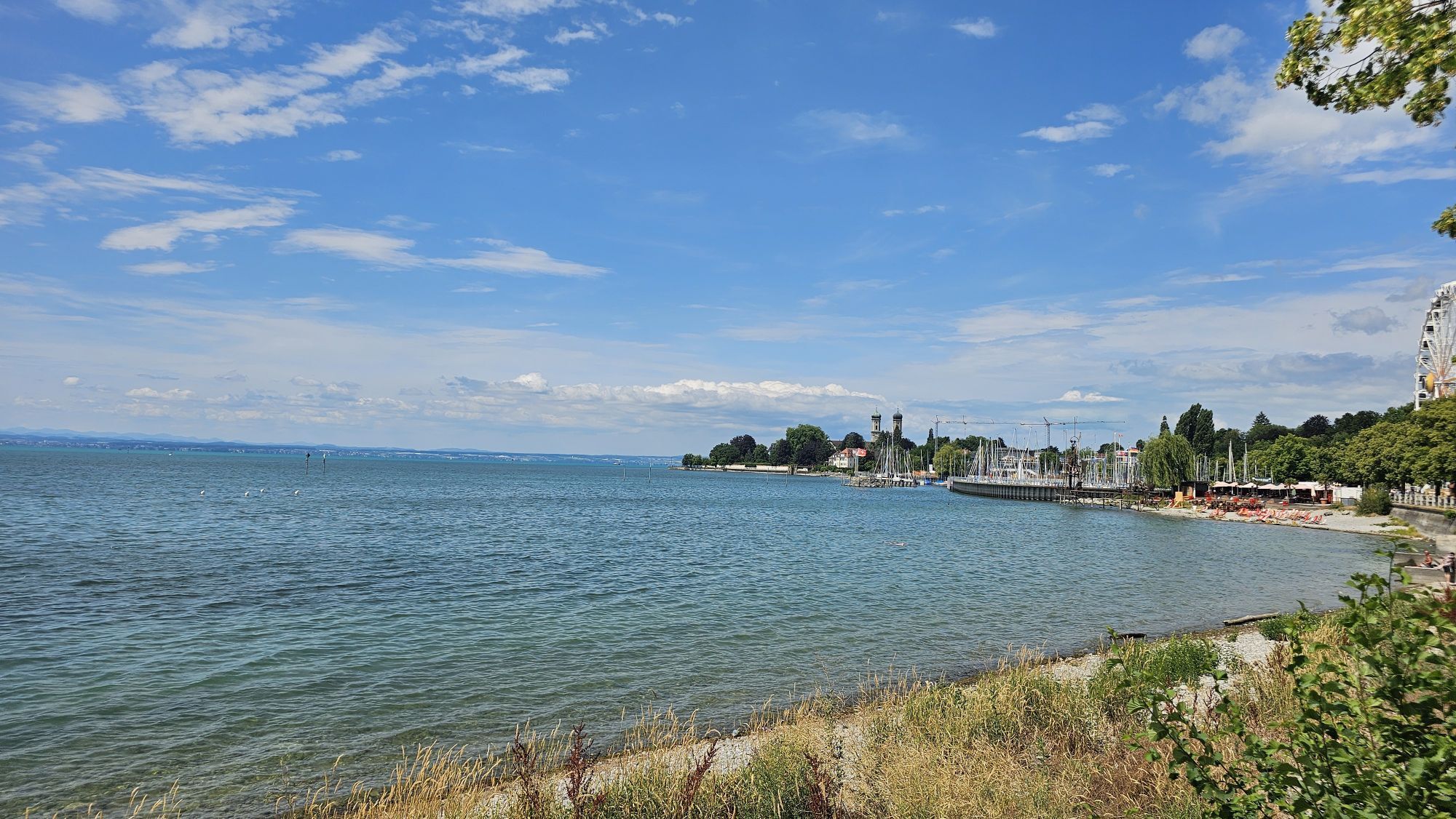
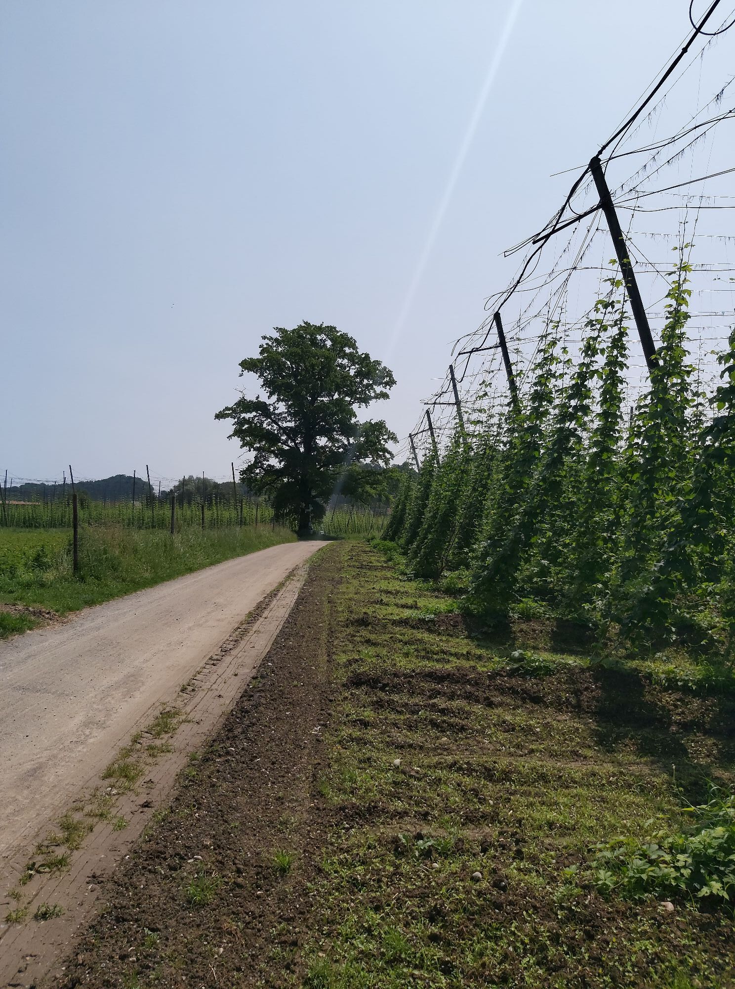
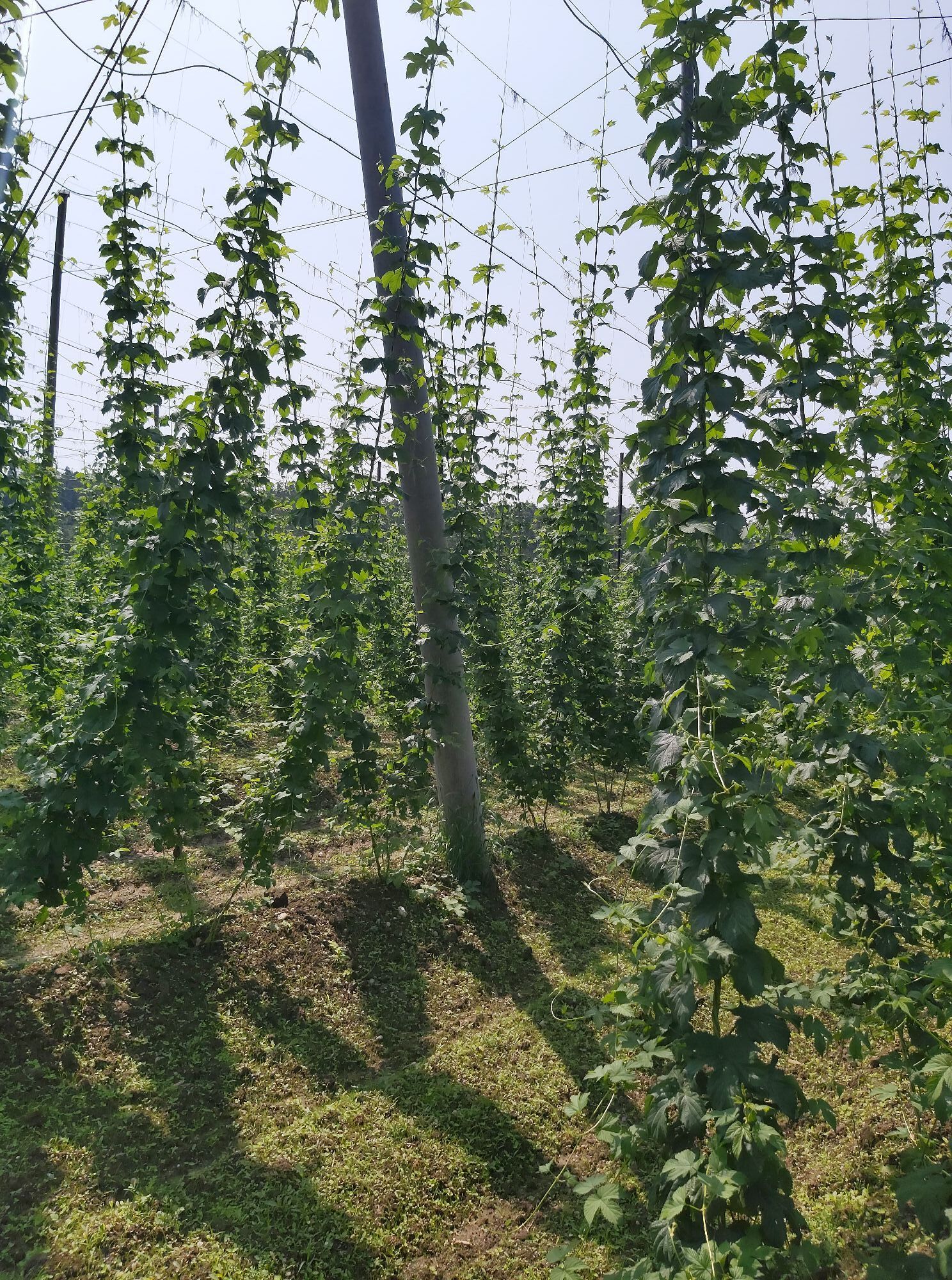
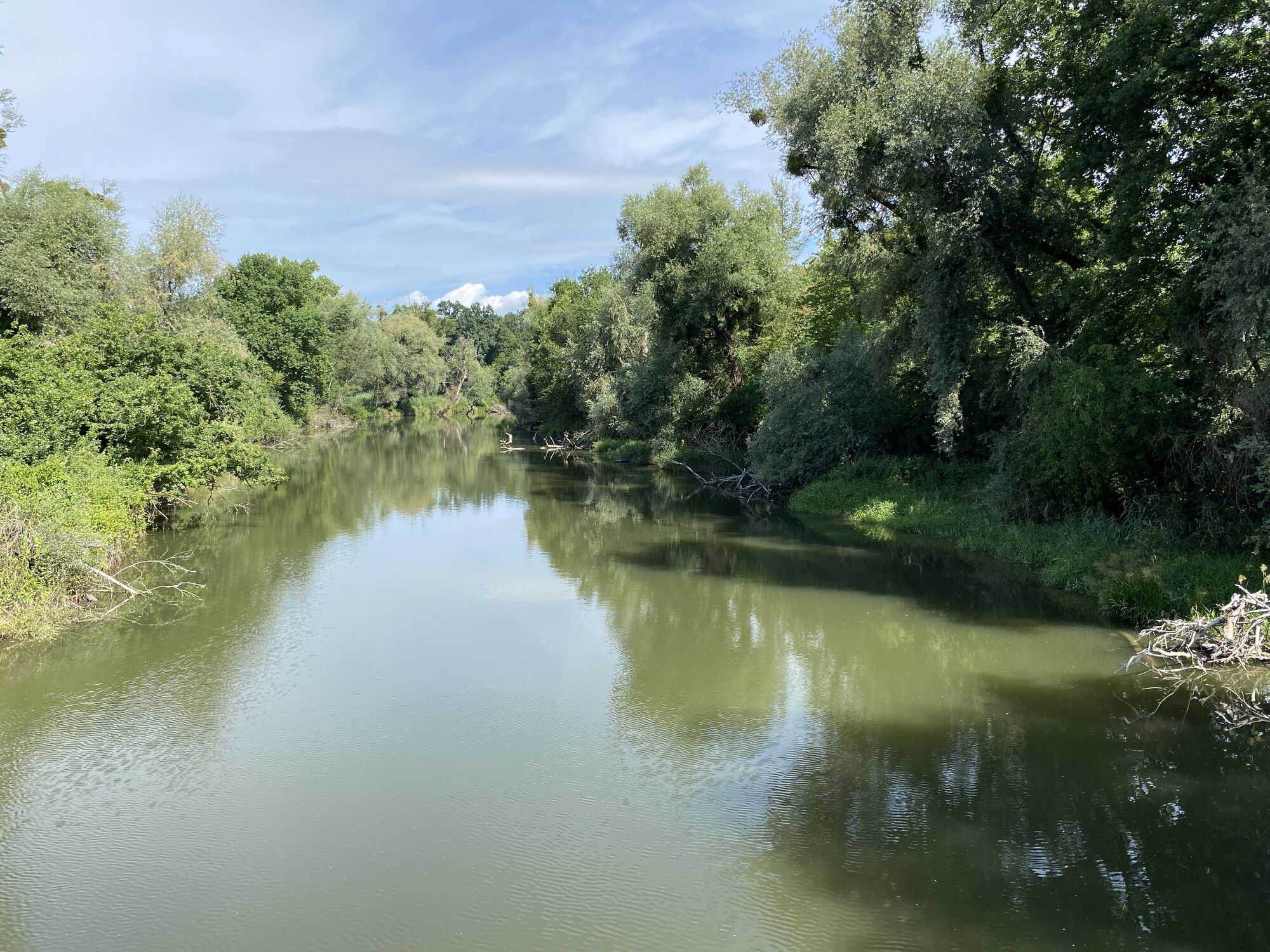
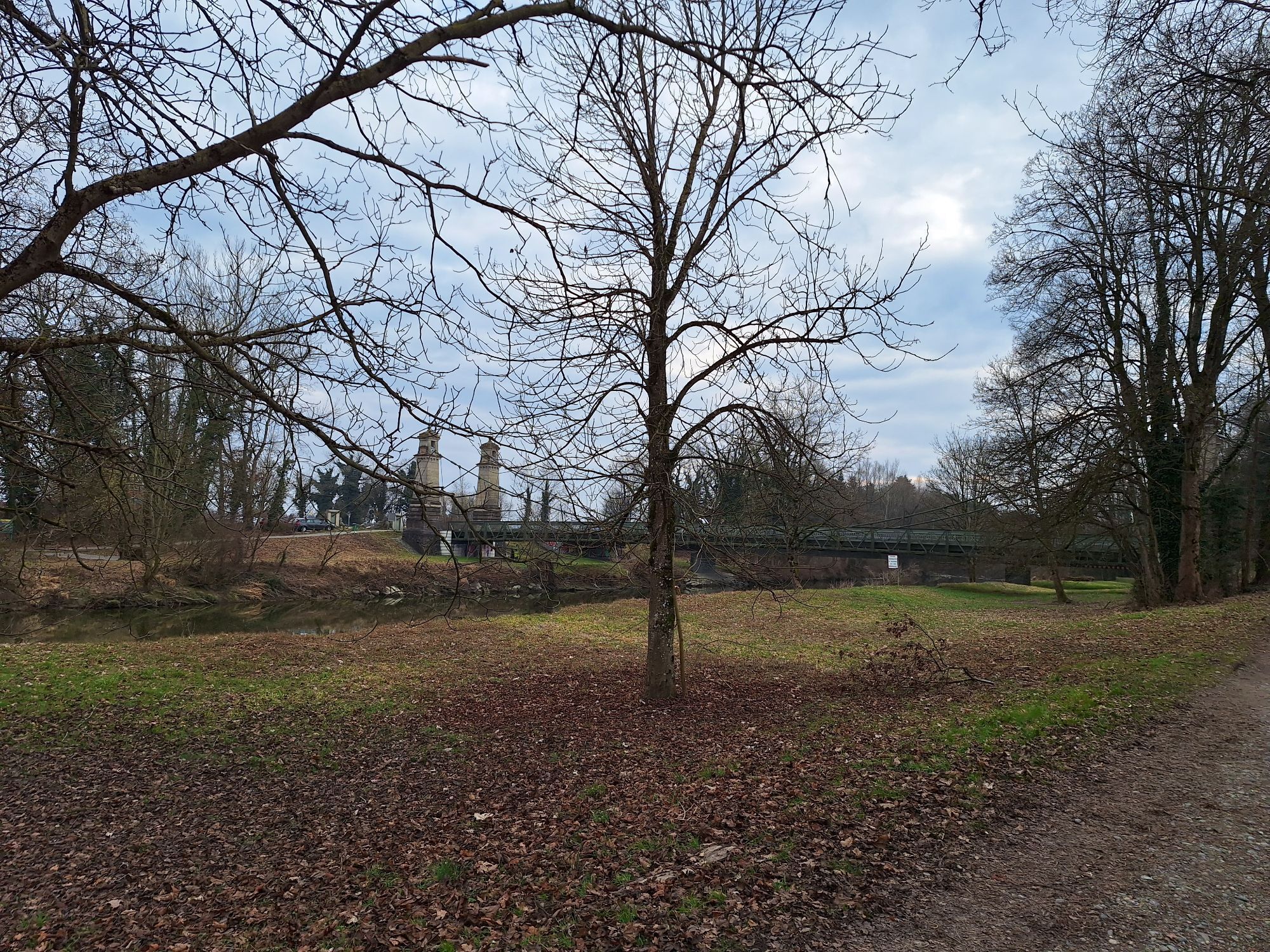
The tour is very charming from spring to autumn. In spring, the fruit trees blossom to the first rays of sunshine, in summer Lake Constance and Lake Degersee invite you for a swim and in autumn you can...
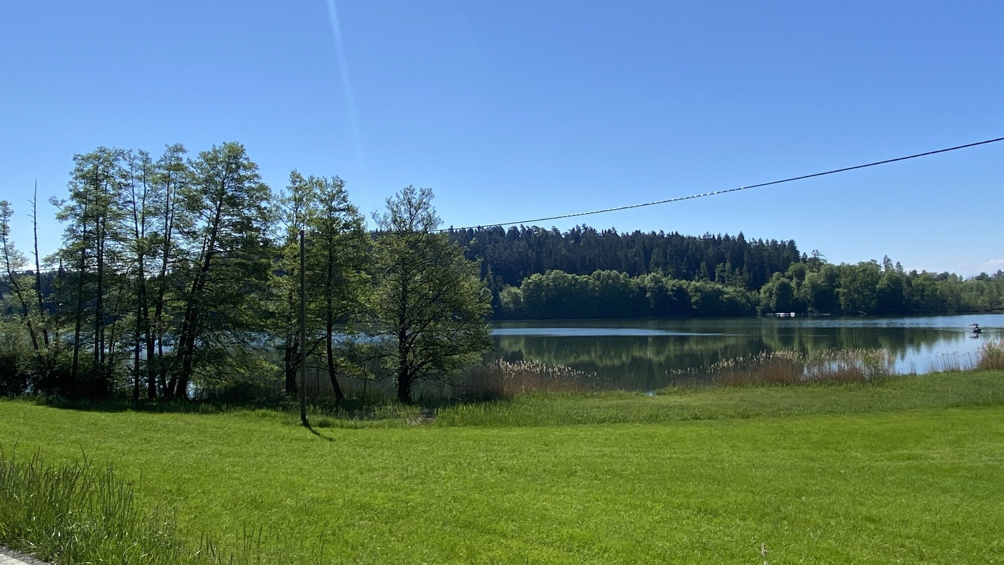
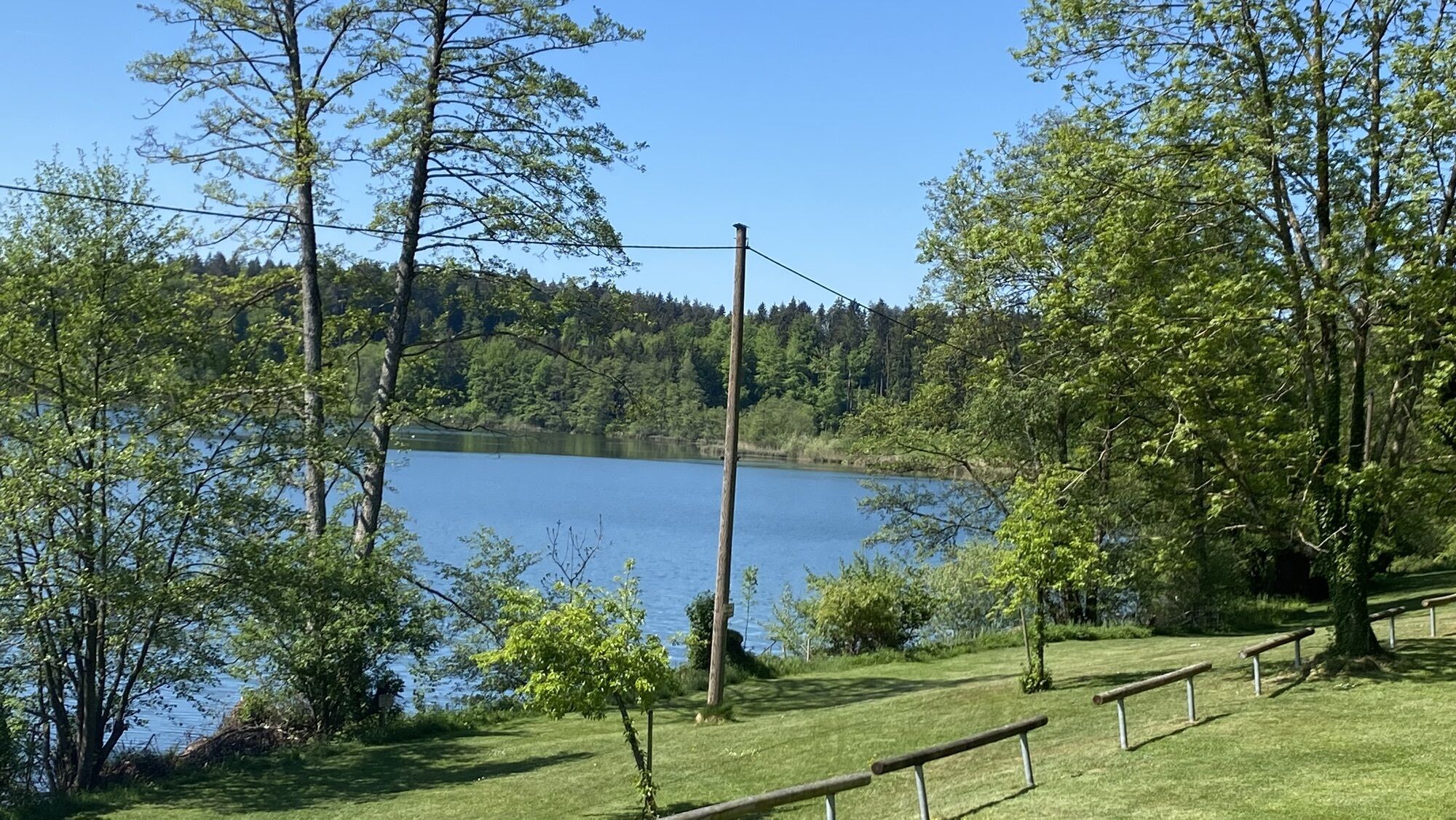
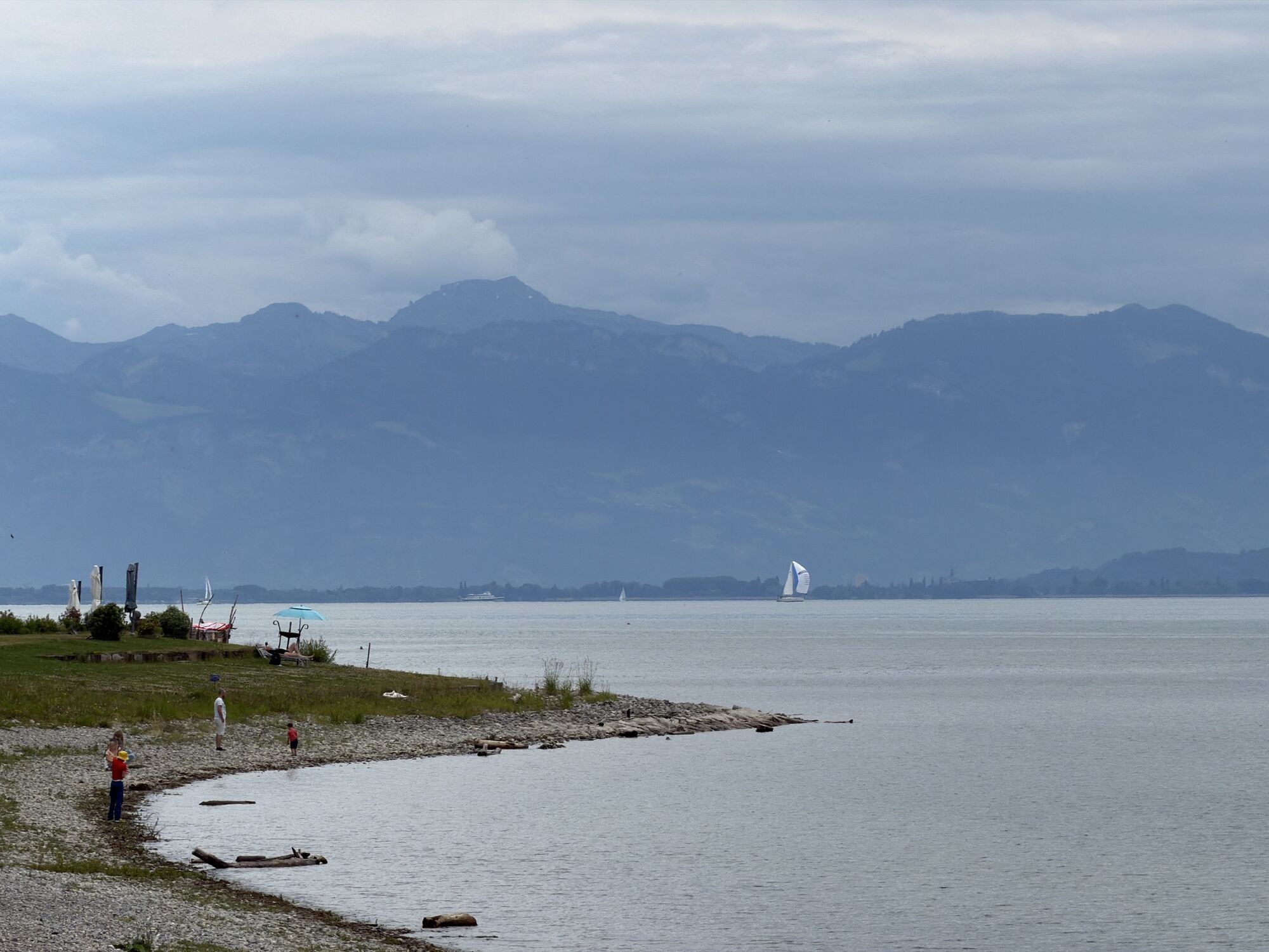
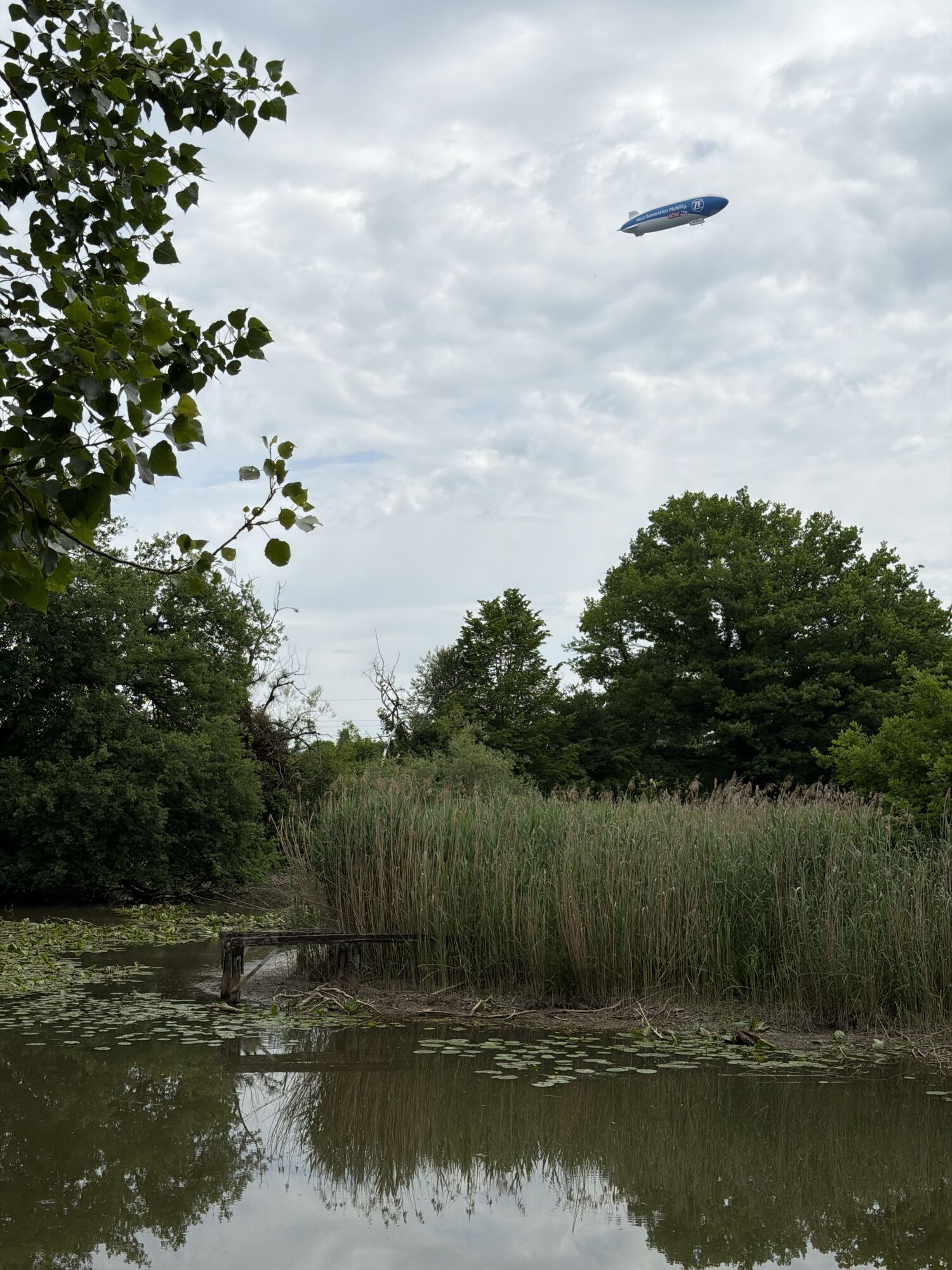
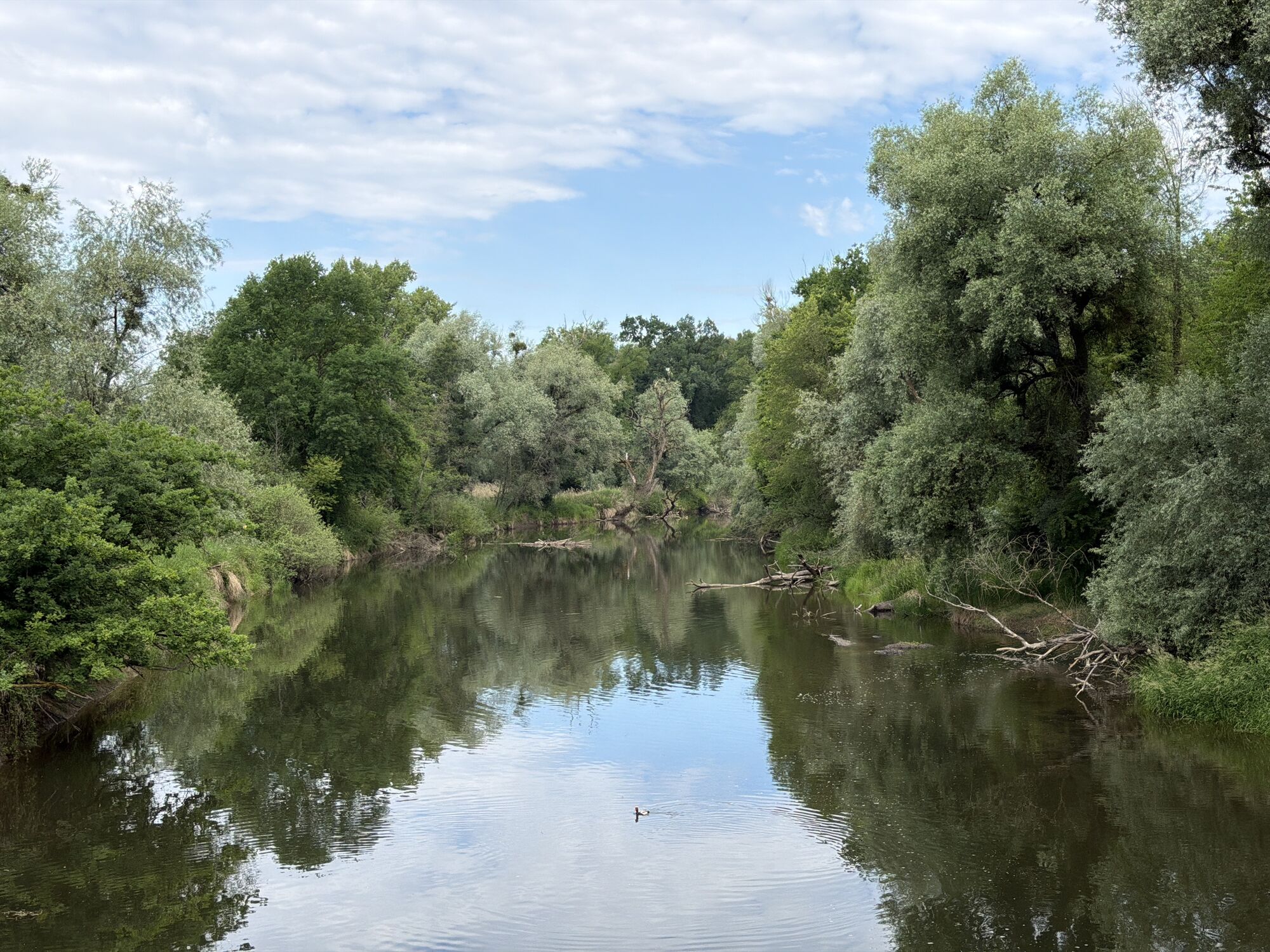
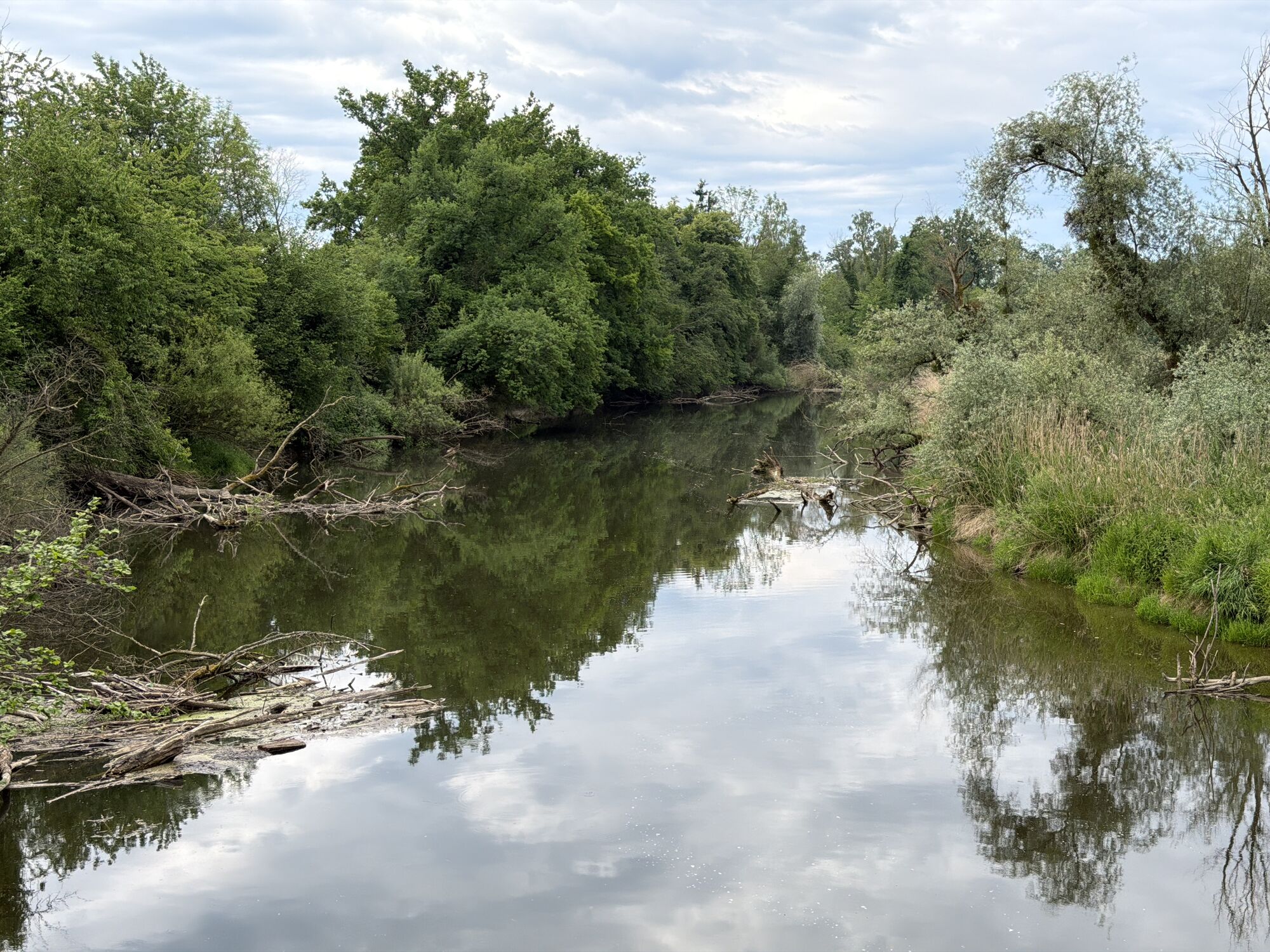
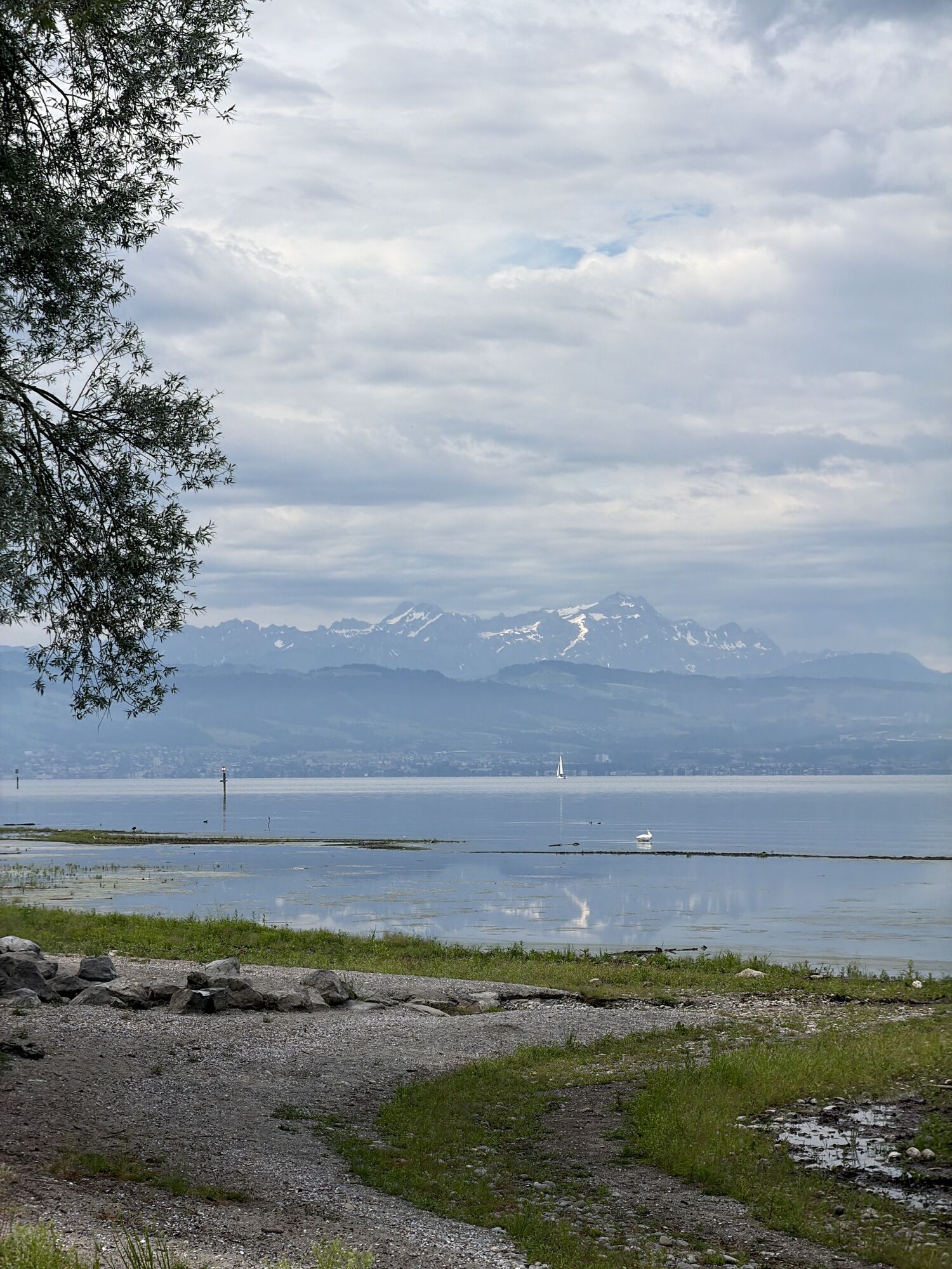
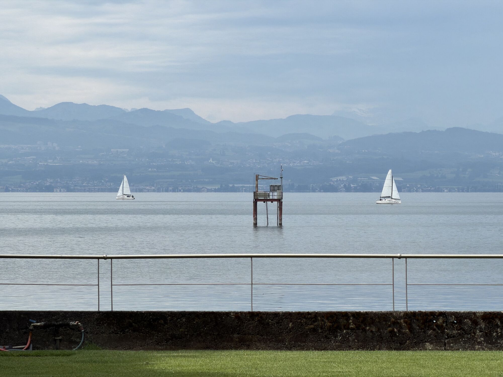
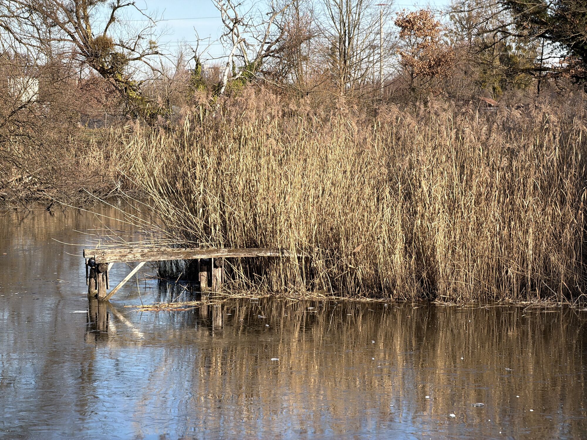
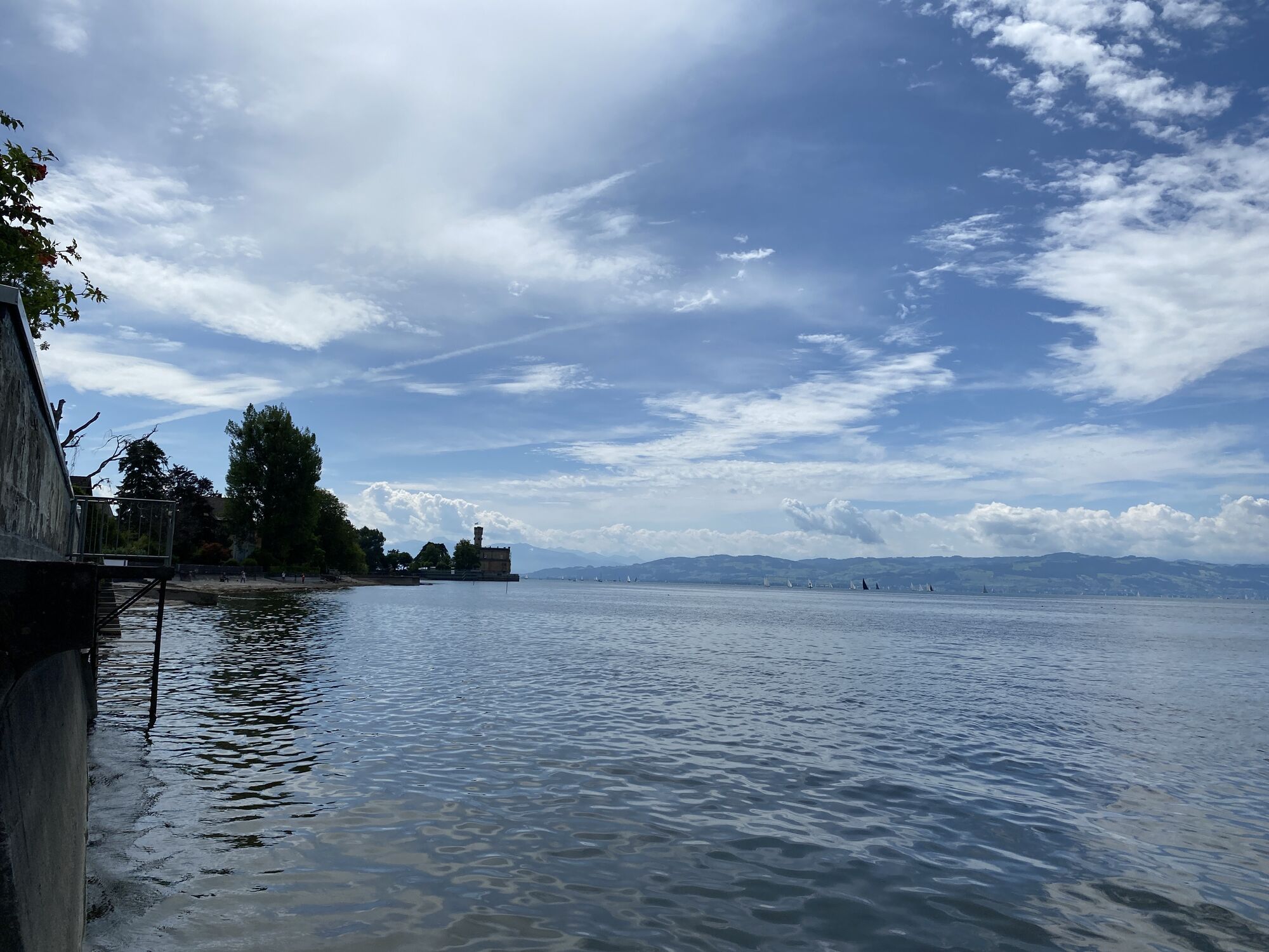
The tour is very charming from spring to autumn. In spring, the fruit trees blossom to the first rays of sunshine, in summer Lake Constance and Lake Degersee invite you for a swim and in autumn you can be enchanted by nature's colourful play of colours. The route first leads along the shore of Lake Constance through the Eriskircher Ried nature reserve, which is particularly captivating in May with its blue sea of iris blossoms. The panorama footbridge, which lets you walk directly to the lake, and the Argen estuary with its fantastically beautiful view are also worth a detour. The route continues over the famous cable suspension bridge at Kressbronn, past the natural beach baths to the suburb of Kressbronn-Berg, where you can enjoy a fascinating panoramic view of Lake Constance. Continue past meadows and forests to reach the Schlein and Degersee lakes. At the Degersee, you can take a dip in the cool water in summer. At the Schleinsee, you should take a short ice cream break at the Hofgut Schleinsee or fortify yourself in the picturesque beer garden of the Seerose inn.
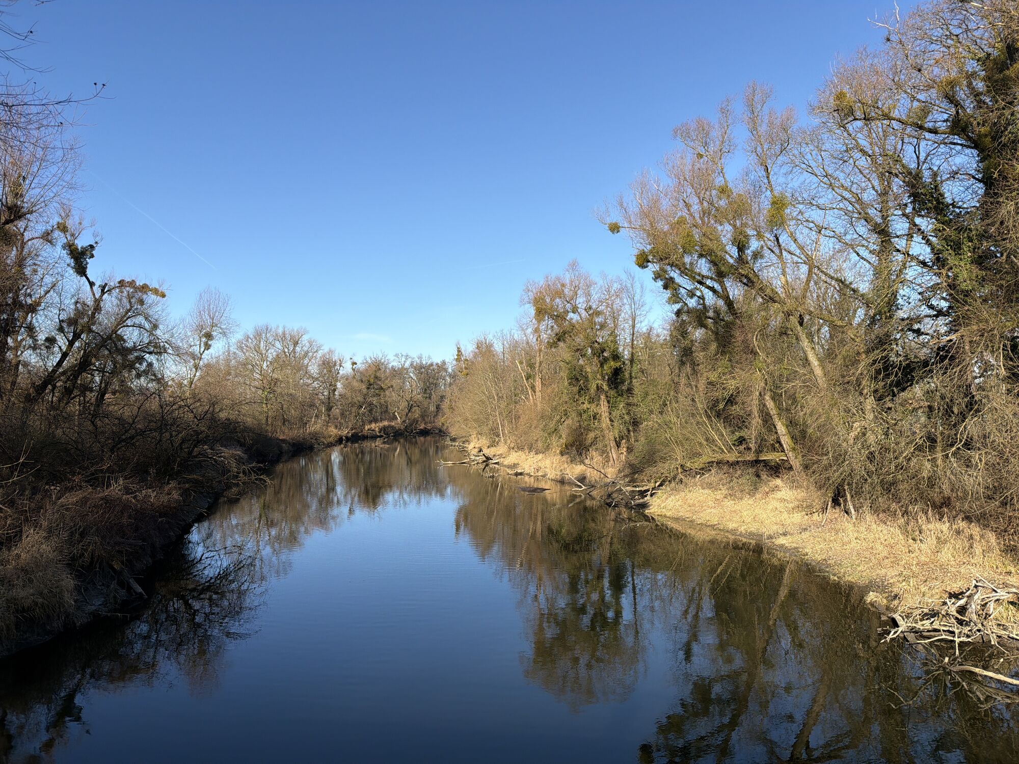
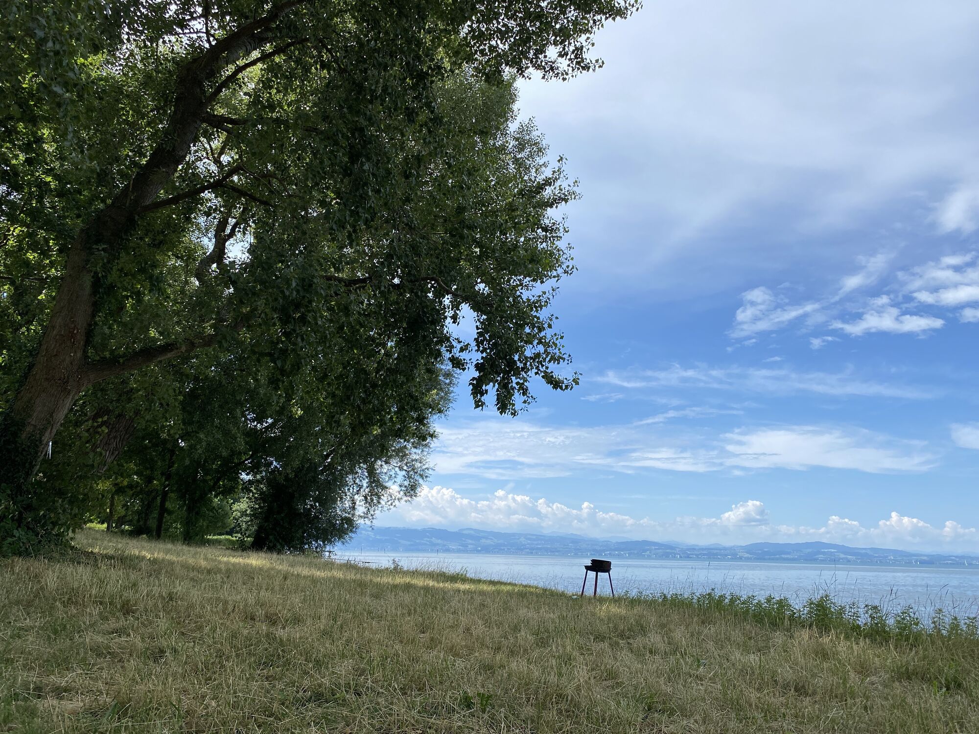
The tour then takes you via Unterwolfertsweiler and Apflau to the Argen. On the eastern side of the river there is a spacious barbecue area directly on the shore where you can sizzle your own favourite meal or you cross the Argen and ride into the fragrant orchards, especially in spring. Here it is worth taking a detour to the village of Oberdorf on the right with its cosy restaurant, the Landgasthof Adler. The route finally leads via Langenargen with its historic Montfort Castle back along the shores of Lake Constance to the starting point.

Enjoy cooling off in the idyllic beach pool at Degersee and then sample a homemade cake at Hofgut Schleinsee.
Webové kamery z prohlídky


Oblíbené prohlídky v okolí
-
4.3
Hard
světloTuristika 4.74 km -
3.9
Pfänder - Pfänderbahn Talstation - Bregenz
středníTuristika 4.22 km -
5.0
Möggers Rundwanderweg
světloTuristika 8.36 km -
5.0
Hiltensweiler - Rengersweiler - Degersee
světloTuristika 10.8 km -
4.8
Bodolz - Hoyerberg - Lindau (Bodensee) - Entenberg
středníTuristika 7.09 km -
5.0
Achberg Argen
světloTuristika 10.7 km -
4.0
Rundtour um Möggers
středníTuristika 11.5 km -
5.0
Österreich/Vorarlberg: Rheindelta Bodensee
Turistika 8.84 km -
4.0
Landschaftlich sehr schöner Rundweg
světloTuristika 10.2 km -
5.0
Pipeline - Pfänder
středníTuristika 4.64 km
Pěší turistika a stopování


Nenechte si ujít nabídky a inspiraci pro vaši příští dovolenou
Vaše e-mailová adresa byl přidán do poštovního seznamu.





