







E-bike route: Between Nagold and Zinsbach

Úroveň obtížnosti: 2
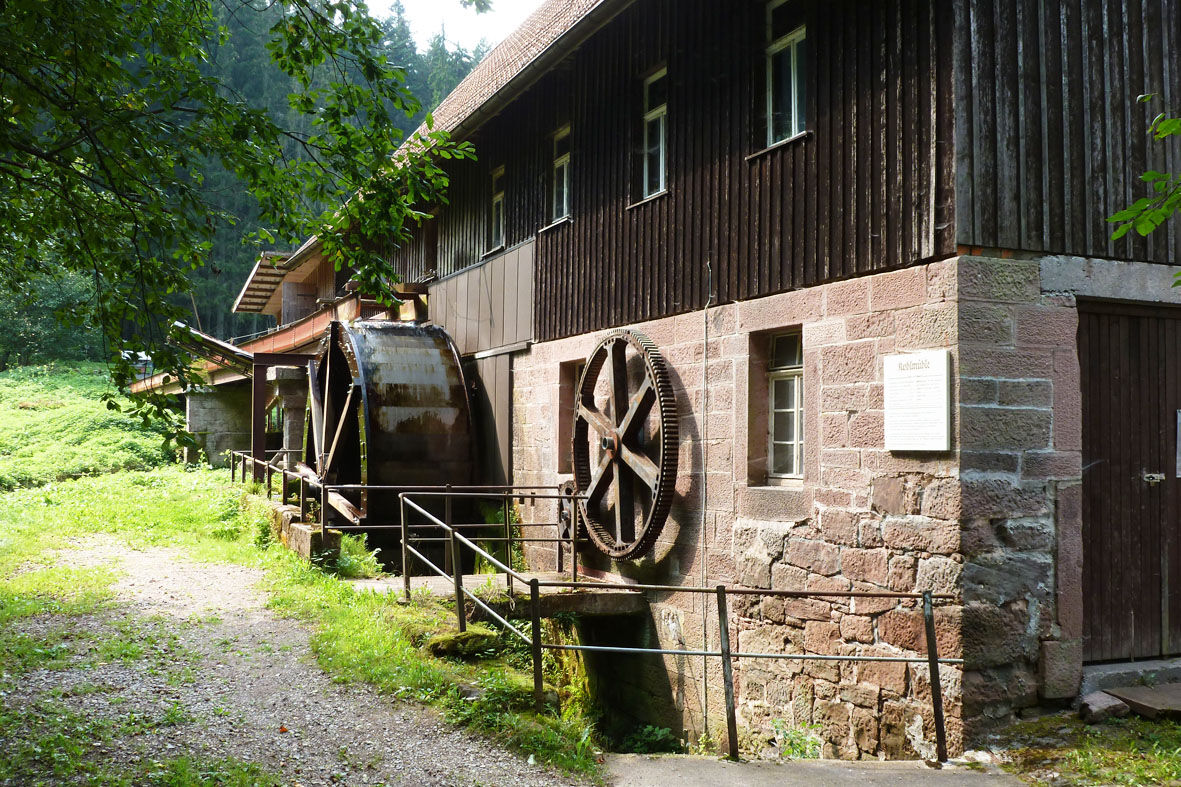

The route starts at the Altensteig minigolf course - one of two e-bike rental stations of Stadtwerke Altensteig. The path leads along the Nagold river upstream, past the Altensteig campsite. There it turns right over the Zinsbach to the road to Garrweiler. On this road, it then goes uphill and finally through the village of Garrweiler - one of eight districts of Altensteig. Before Grömbach, the path turns left past the cemetery and then finally through the village. At the end of the village, the path joins the road again. At the edge of the forest, turn left along the signposted cycle path to Kälberbronn and there follow the road to Plalzgrafenweiler. At the Waldsägmühle, turn left onto a forest path. Then in a right curve, follow the sign left to Edelweiler and there follow the road through the "Weiler Wald" to Wörnersberg. On the right at the edge of the forest is a beautiful barbecue area. Through Wörnersberg, continue straight on to the junction right towards Altensteig. The road leads steeply down into the Zinsbach valley and there past the charcoal sawmill and finally back to Altensteig.
Minigolfplatz Altensteig, Im Oberen Tal, during the season from 11:00 a.m. to 7:00 p.m.
JMS, Bahnhofstraße 43-47, Mon.-Fri. 8:30 a.m. - 12:00 p.m. and 1:30 p.m. - 4:30 p.m.
A 81 exit Herrenberg, Nagold. B 28 between Nagold and Freudenstadt.
Altensteig can be reached by bus from Herrenberg, Nagold or Freudenstadt.
In Altensteig there are numerous parking options at the edge of the town centre. For example, the parking garage behind the New Town Hall (free for three hours).
2
Oblíbené prohlídky v okolí
-
4.1
Kniebis-Sankenbachwasserfälle-Sankenbachsee
středníTuristika 7.98 km -
4.2
Sankenbachwasserfälle und Glasmännlehütte am Stöckerkopf
středníTuristika 12.8 km -
4.7
premium hiking trail Enzquellenpfad
středníTuristika 19.9 km -
2.9
Genießerpfad zum Panoramastüble
Turistika 10.6 km -
4.0
Eiszeit-Tour
Turistika 11.7 km -
3.0
Baiersbronner Himmelsweg: Monk Route Klosterreichenbach
heavyTuristika 12.5 km -
4.0
Romantik-Tour
Turistika 16.9 km -
5.0
Holzmacher-Tour
Turistika 17.0 km -
Durchs Forbachtal nach Freudenstadt und über die Alte Kniebisstraße zurück
středníTuristika 16.0 km -
5.0
Kaltenbach Loop
světloTuristika 5.29 km
Pěší turistika a stopování


Nenechte si ujít nabídky a inspiraci pro vaši příští dovolenou
Vaše e-mailová adresa byl přidán do poštovního seznamu.





