





German Timber-Frame Road: Bietigheim-Bissingen – Calw
Úroveň obtížnosti: 2
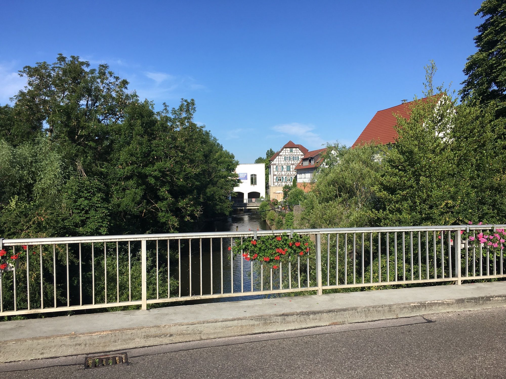
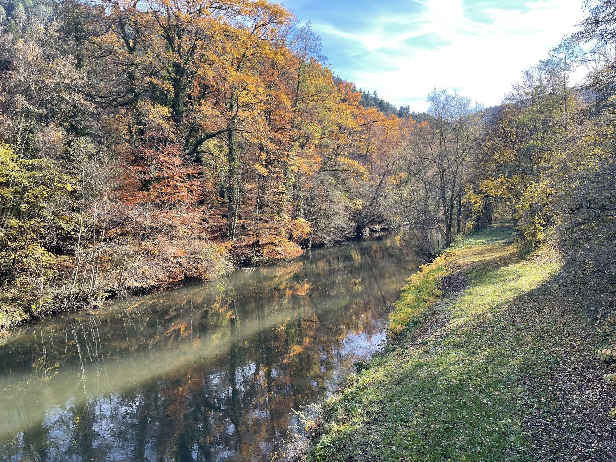
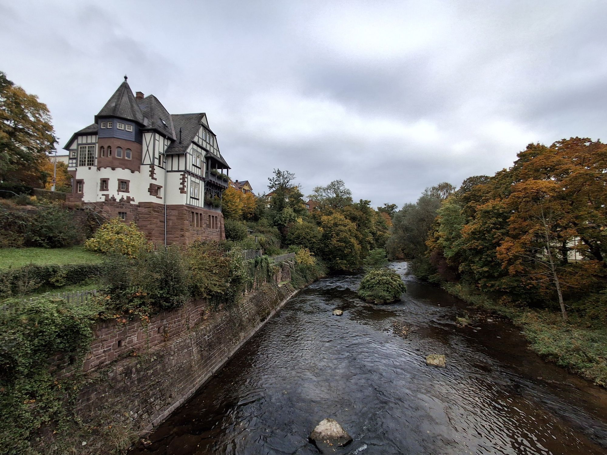
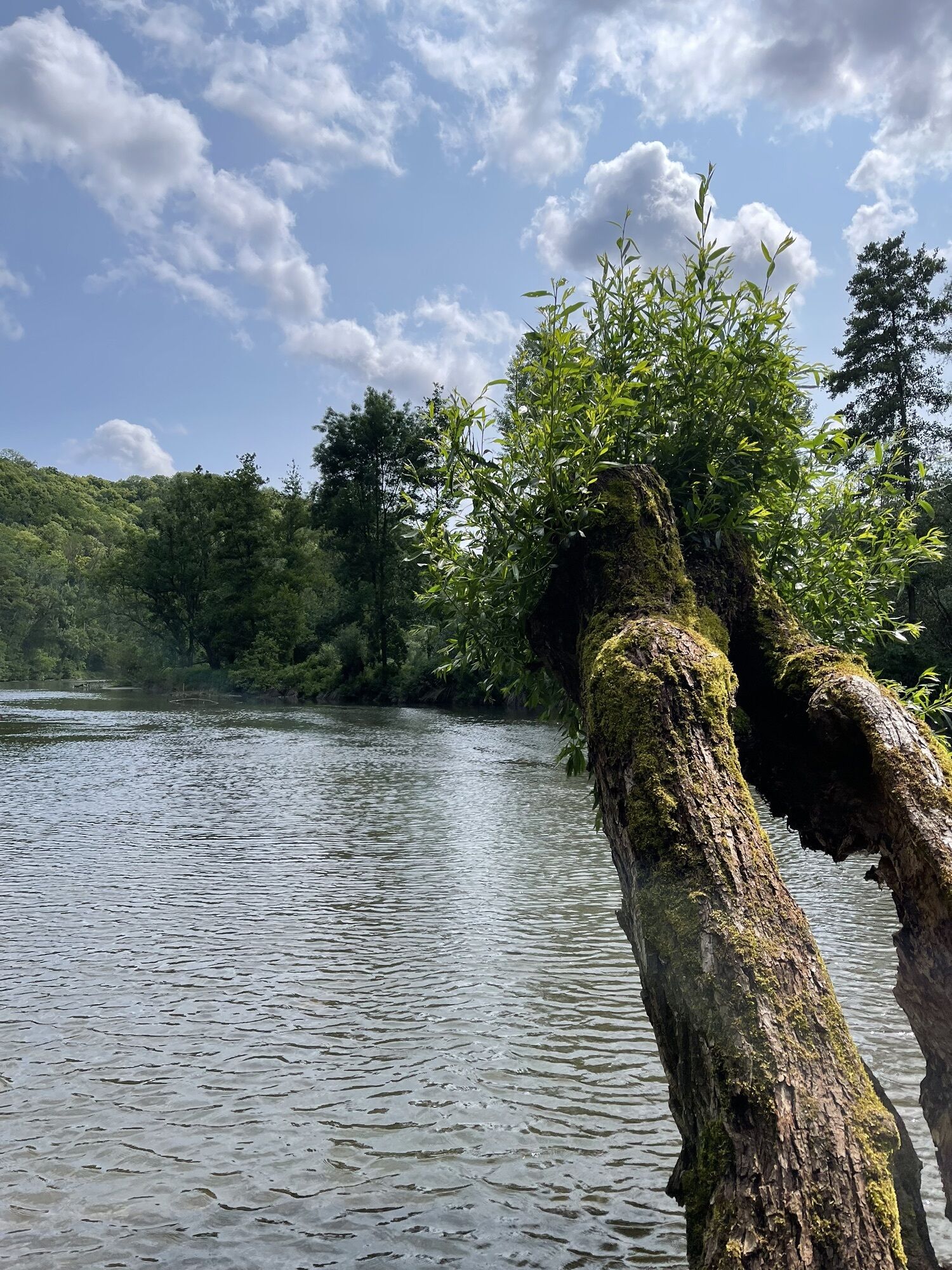
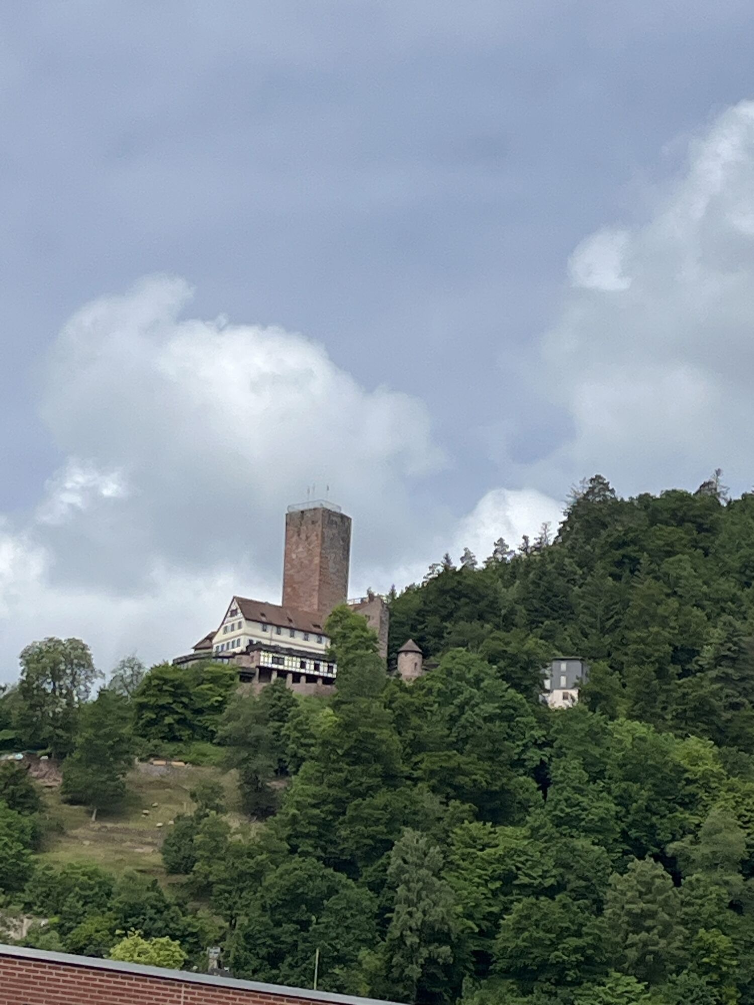
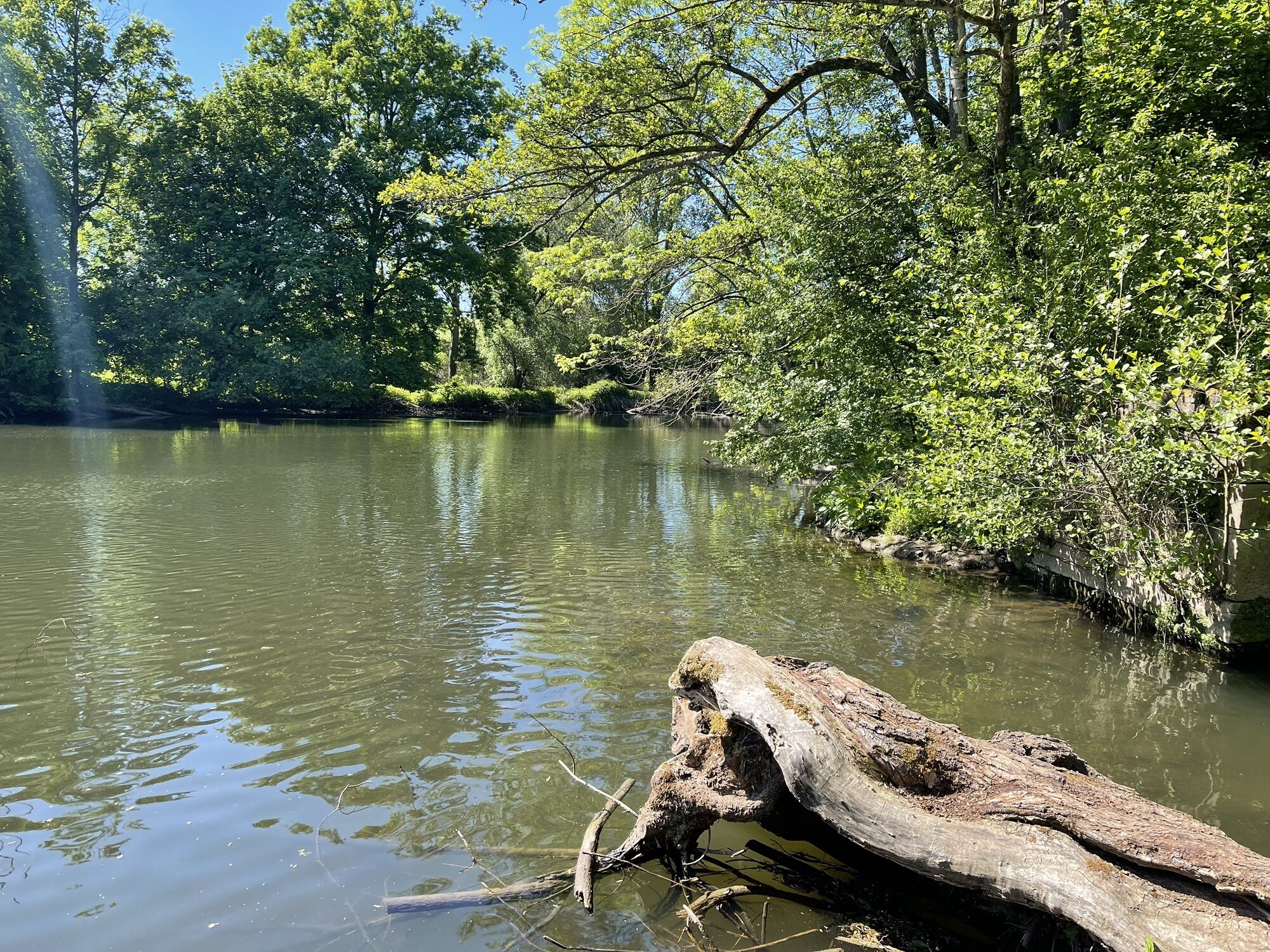
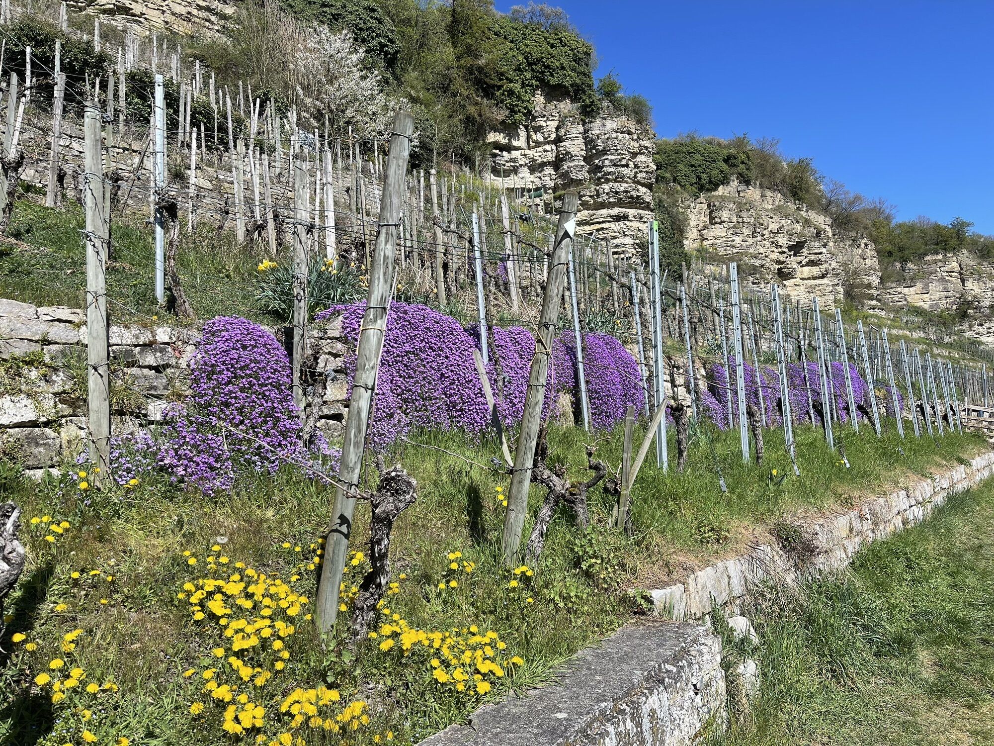
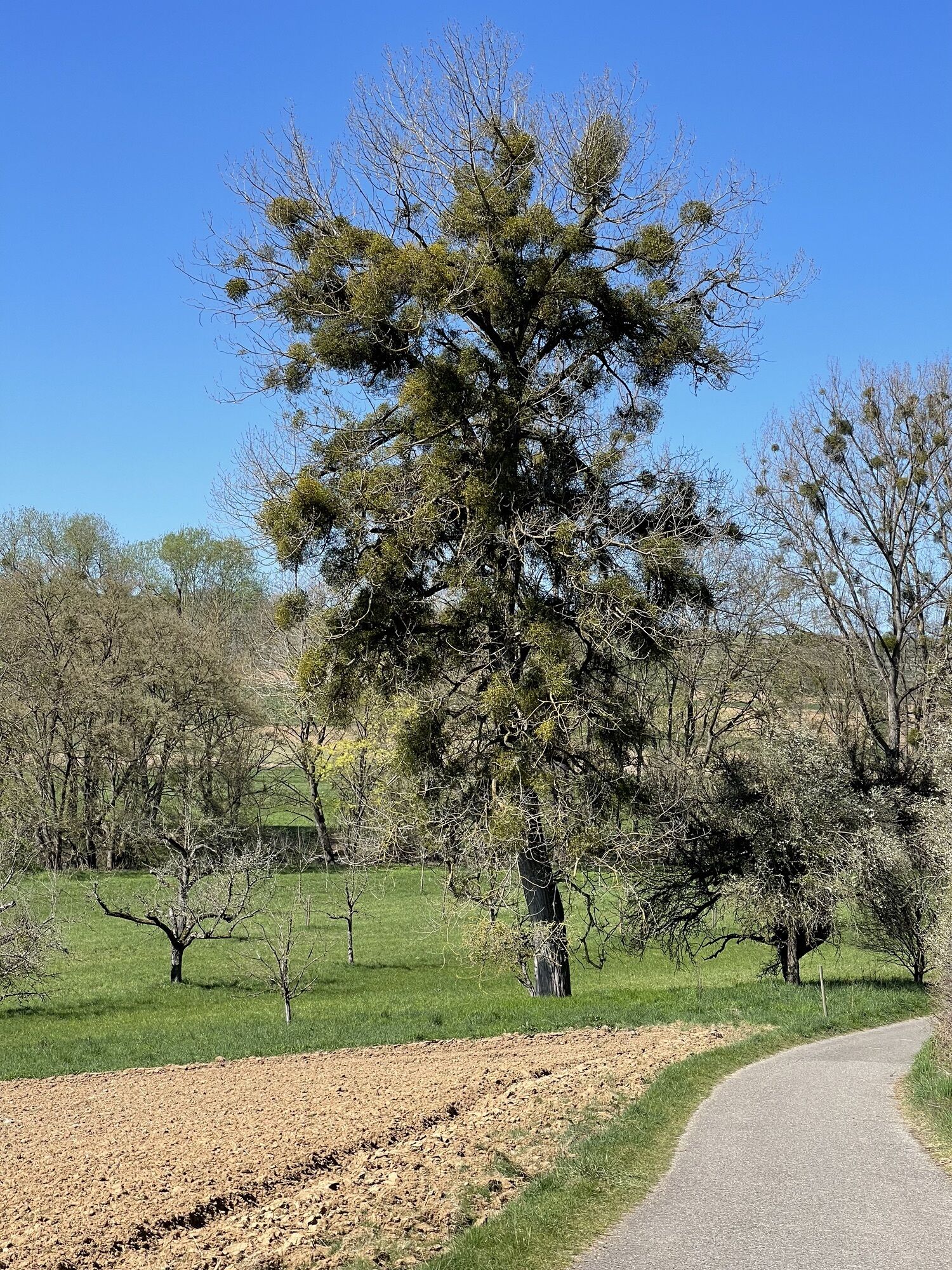
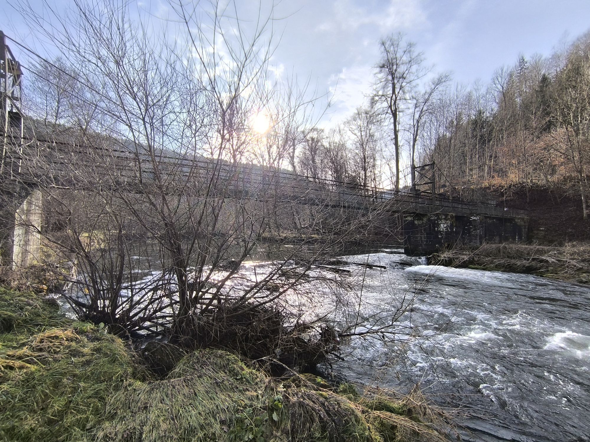
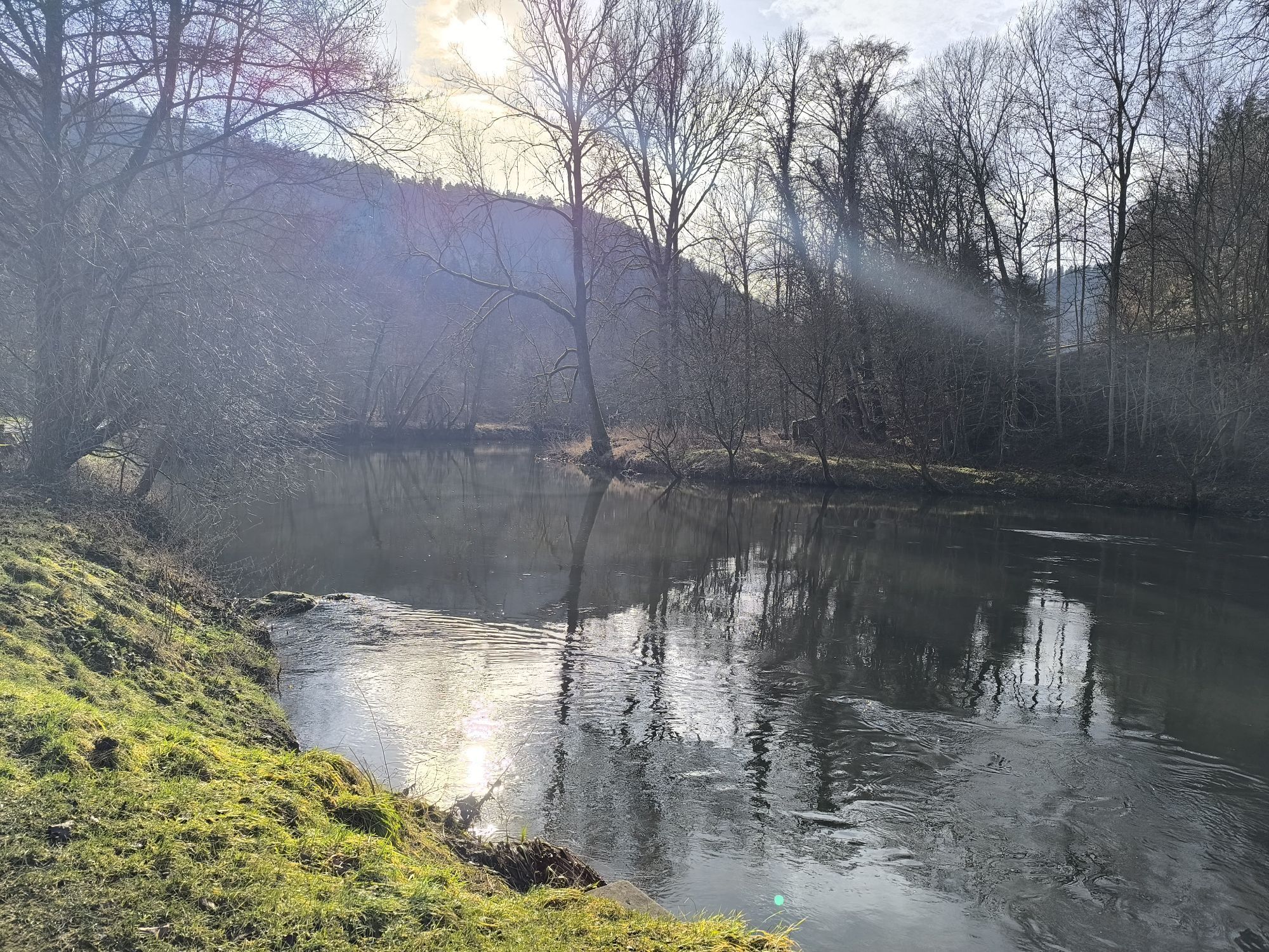
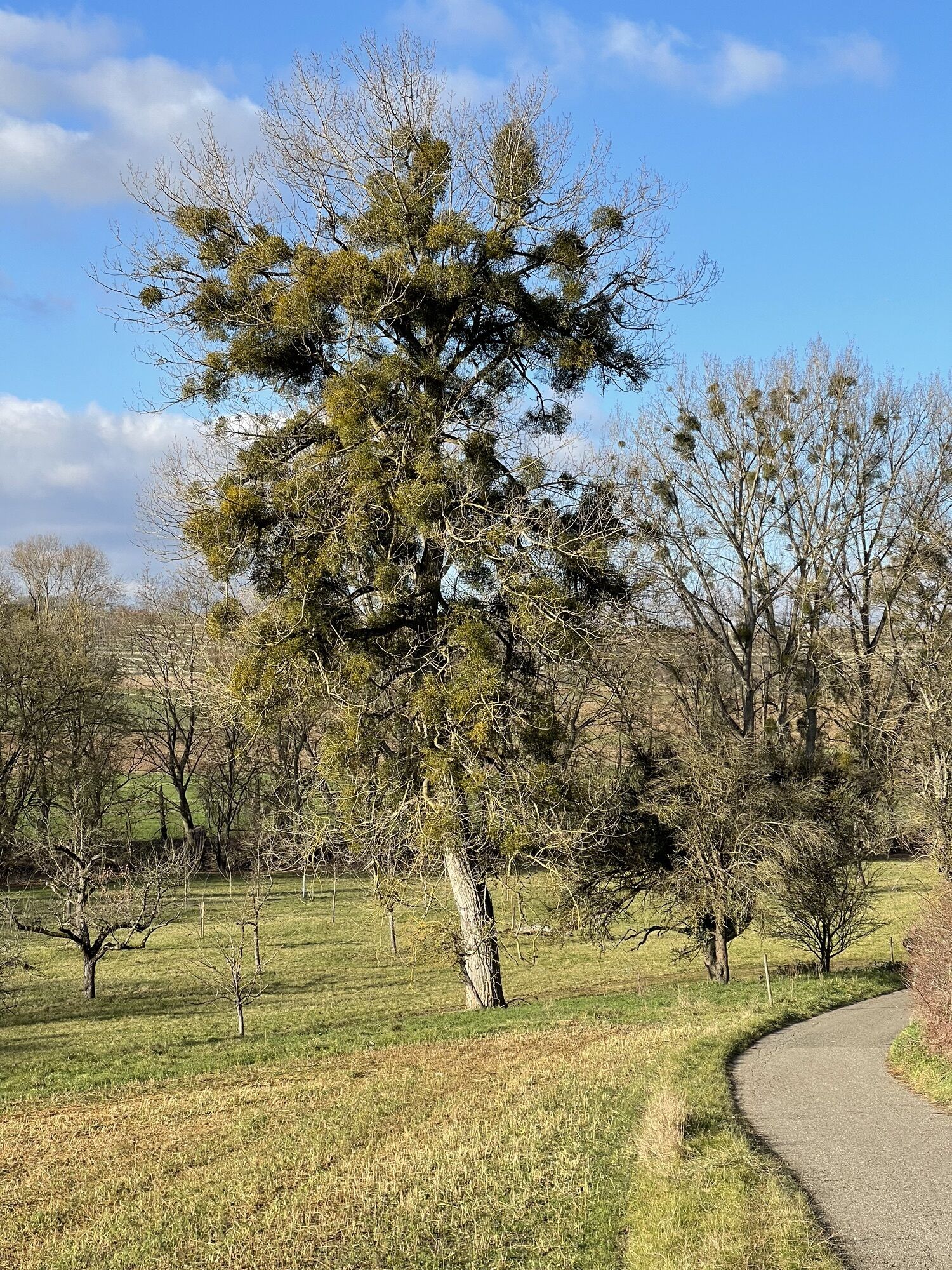
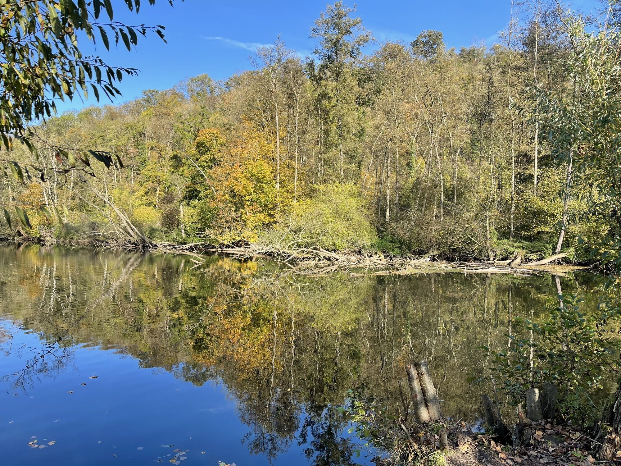
On the route there are several opportunities for breaks or detours. Behind Bissingen, a fish educational trail begins, which vividly informs about the fish life of the Enz, and those who do not shy away...
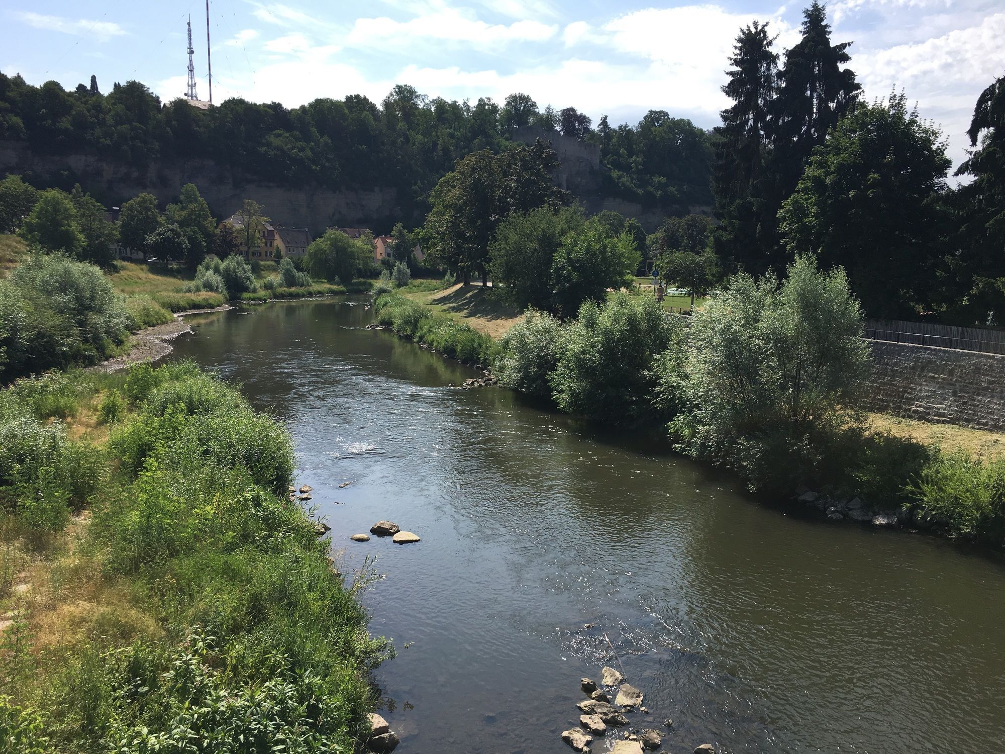
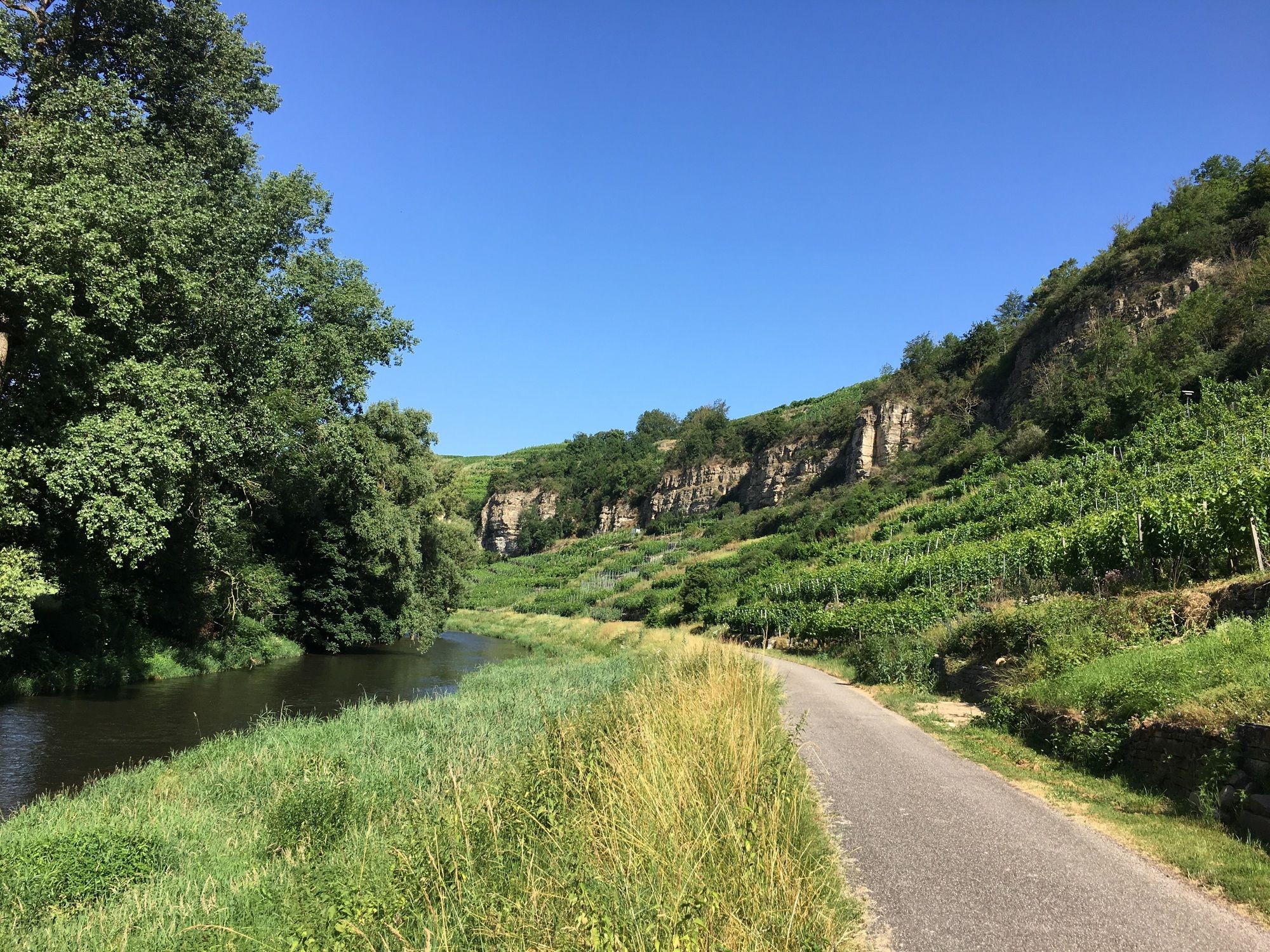
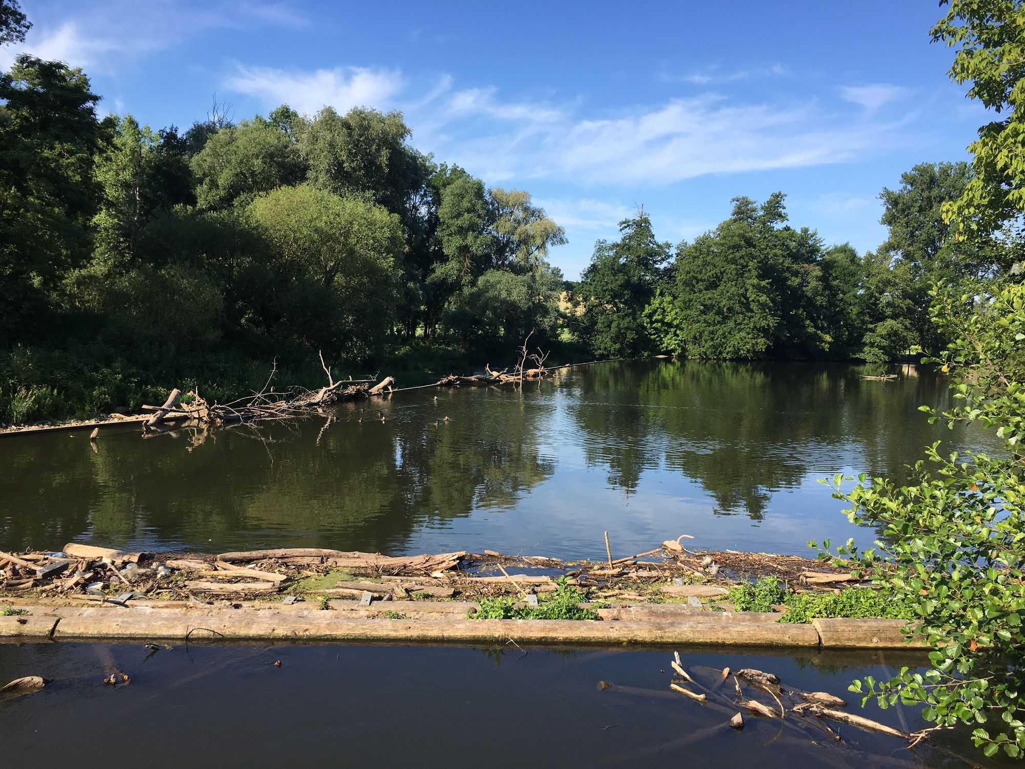
On the route there are several opportunities for breaks or detours. Behind Bissingen, a fish educational trail begins, which vividly informs about the fish life of the Enz, and those who do not shy away from the climb to the Altsachsenheim castle ruins will be rewarded with a splendid view over the Enz valley. A detour leads to Markgröningen, known as the “Shepherd's Run City,” which offers not only numerous natural monuments but also cultural highlights. The Enz valley is almost continuously designated as a protected landscape area. The Romans also felt at home here, as is evident from the Roman trail. In the “International City of the Vine and the Wine,” wine accompanies you at every step. In Mühlacker, the 12th-century castle ruin Löffelstelz can be visited, and in the “Golden City” of Pforzheim, the jewelry museum. Finally, the Hermann Hesse city of Calw is reached, which houses not only the poet’s museum but also 200 listed historic houses.
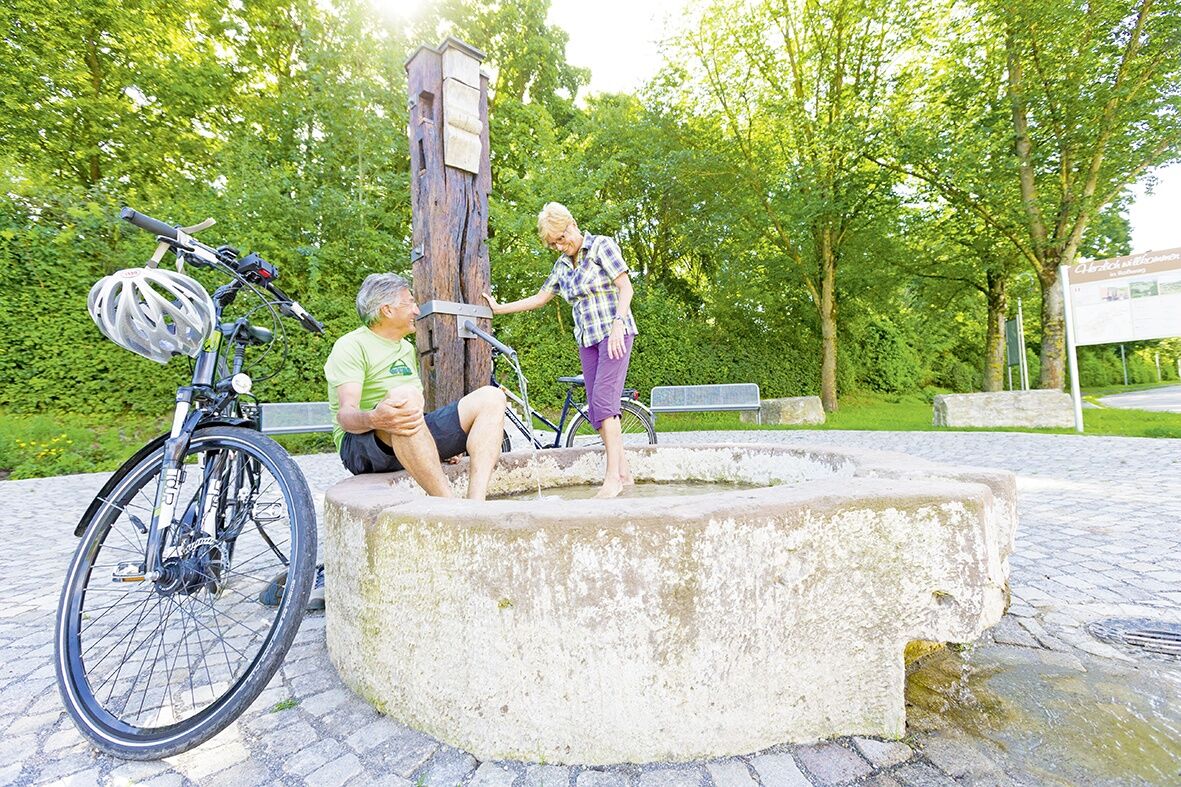
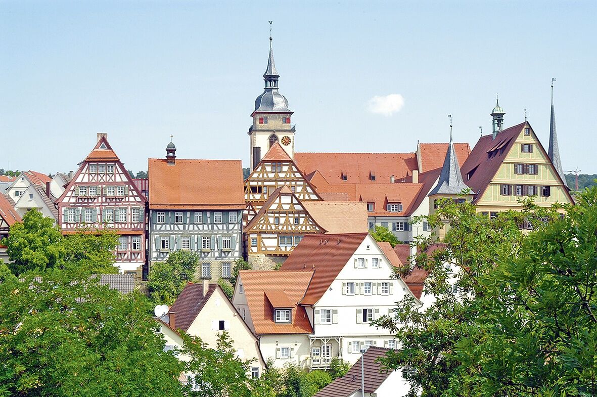
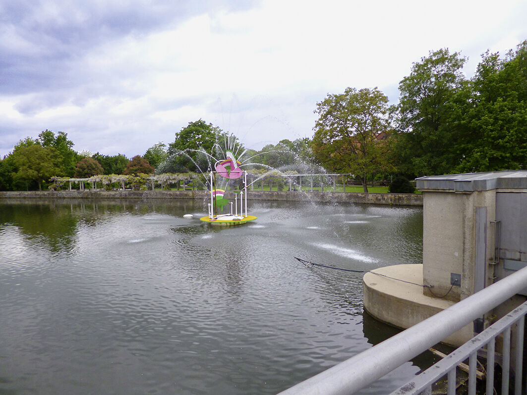
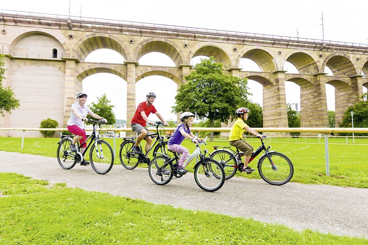
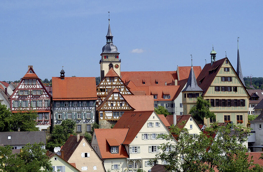
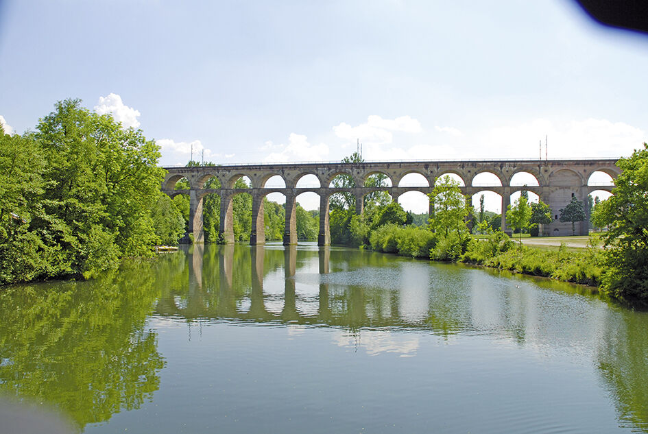
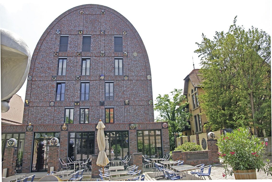
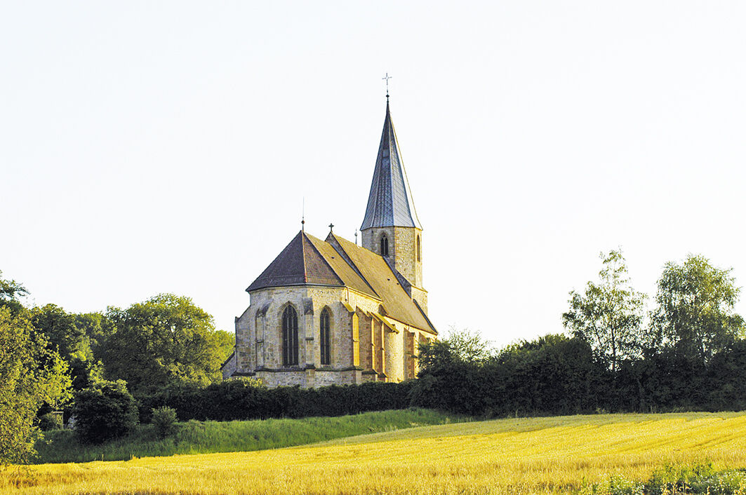
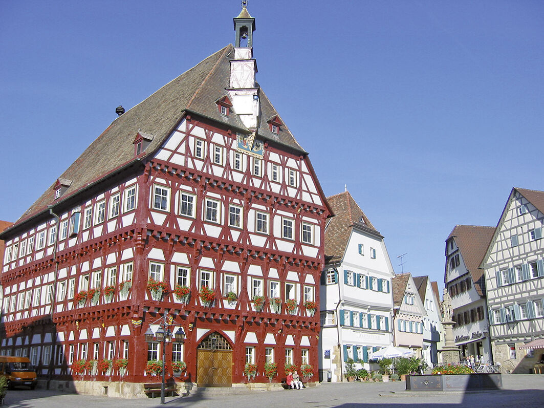
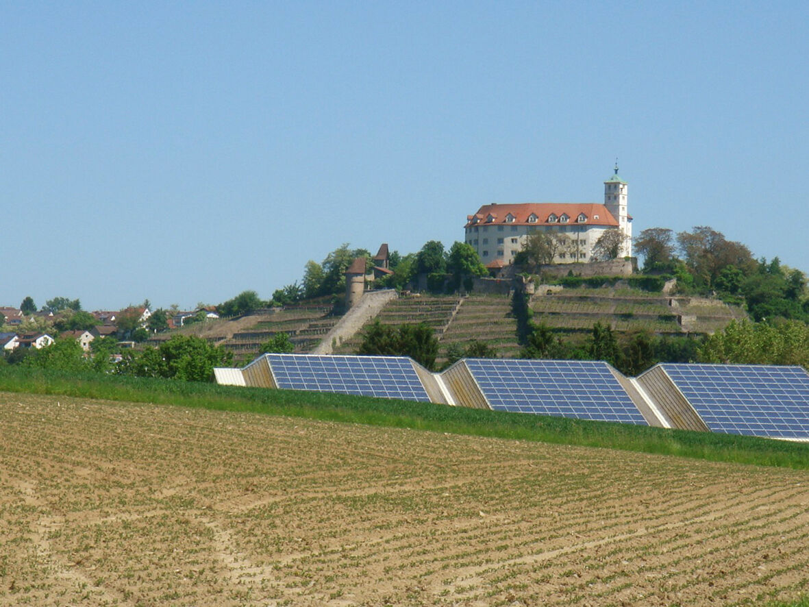
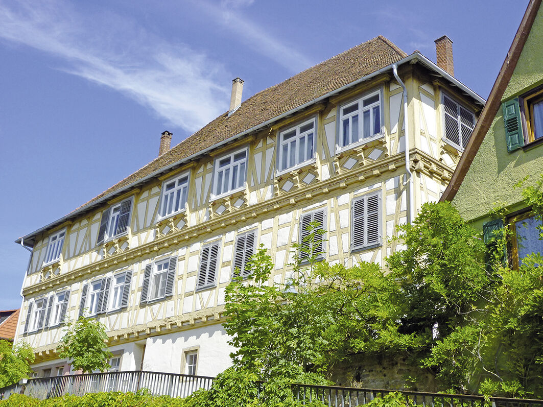
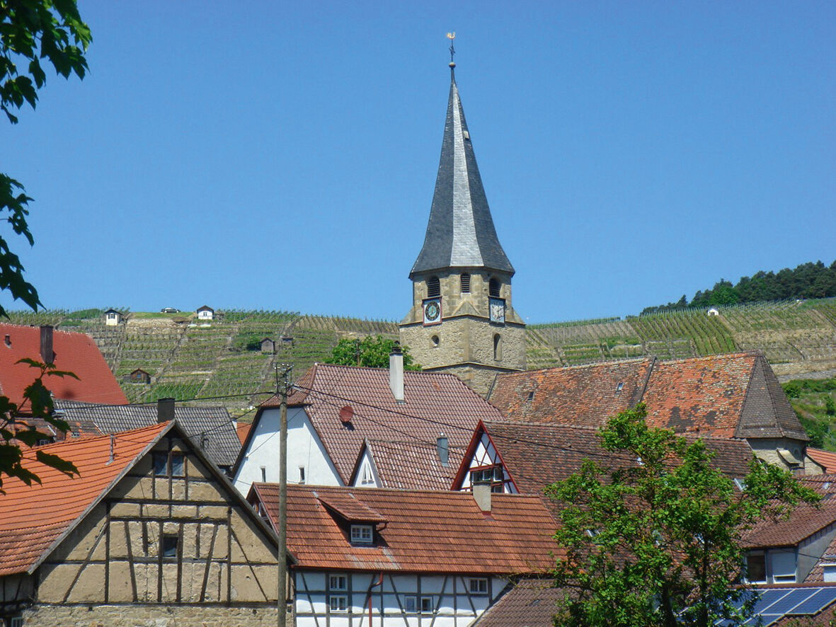
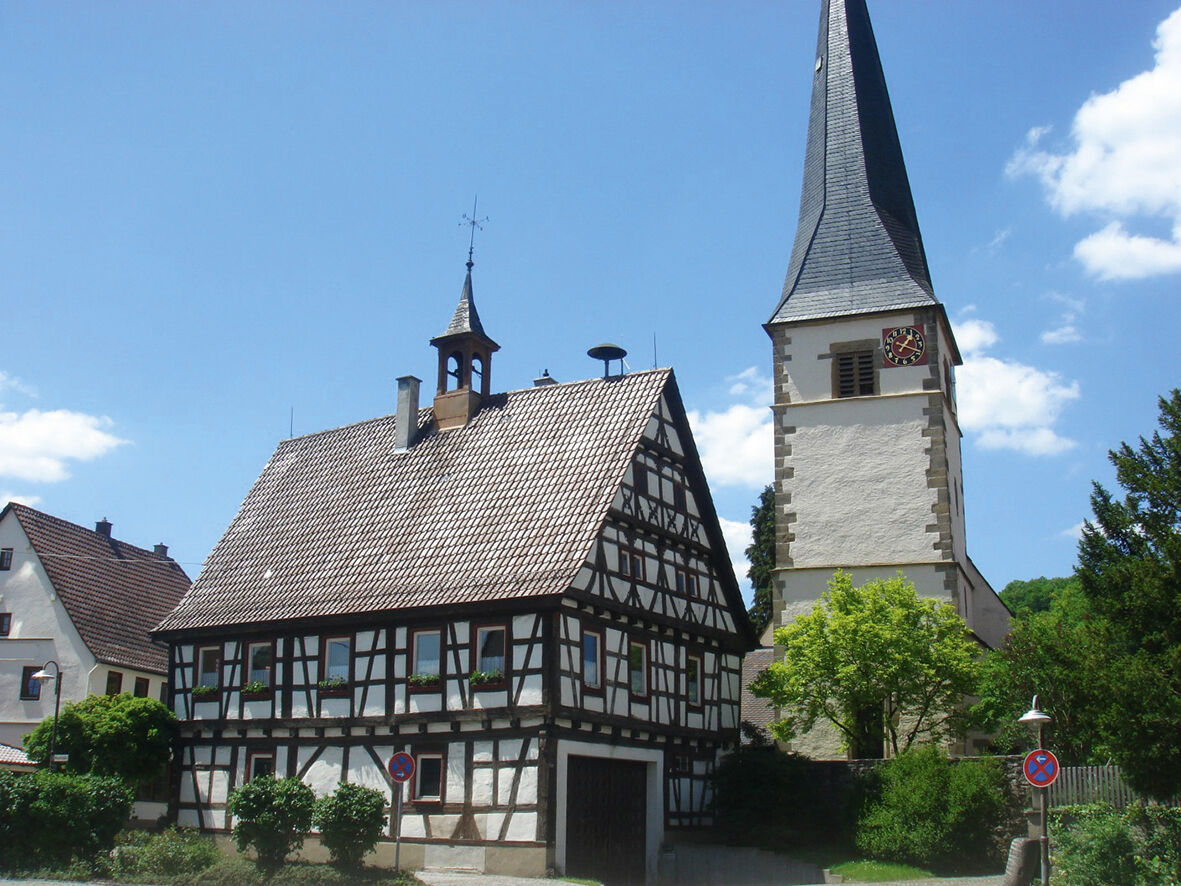
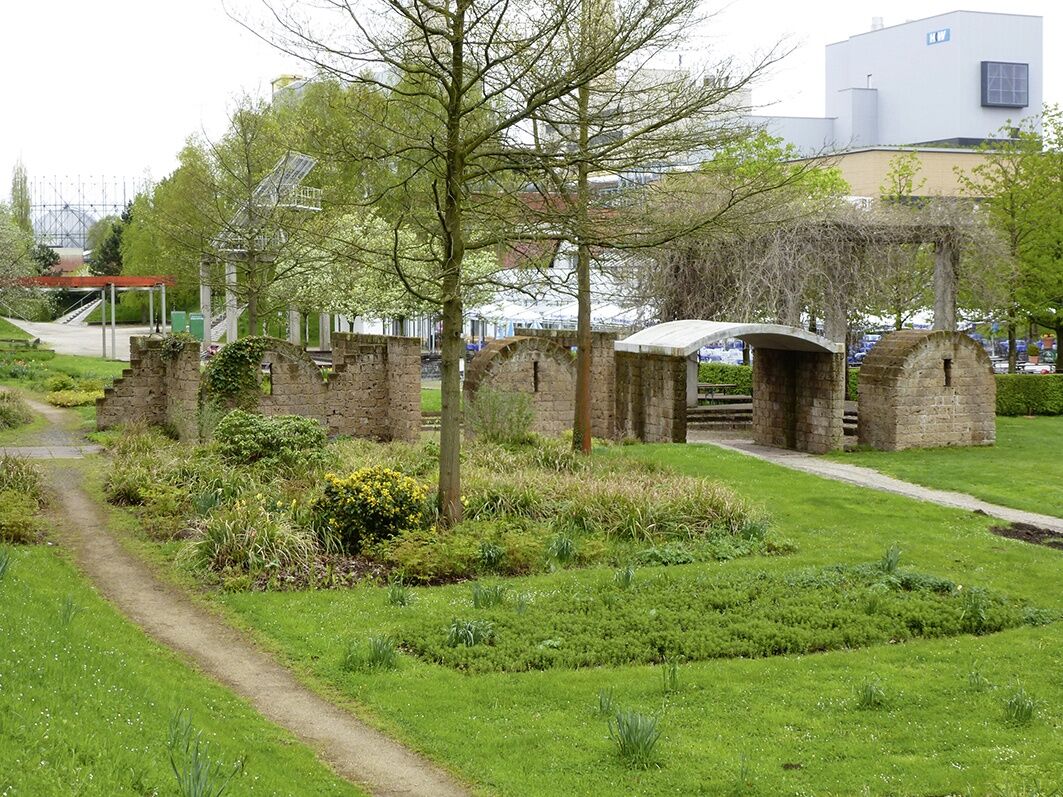
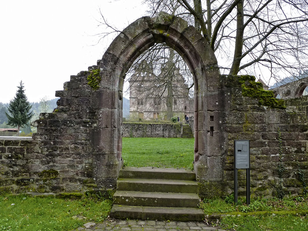
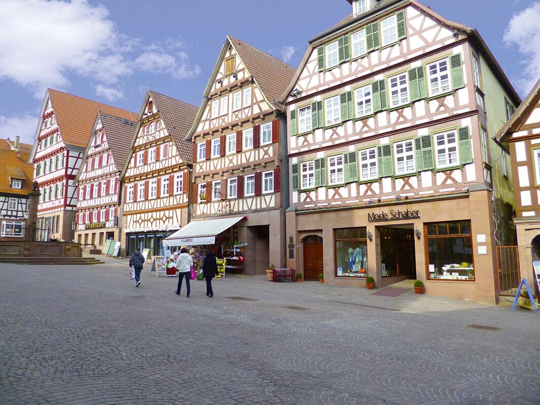
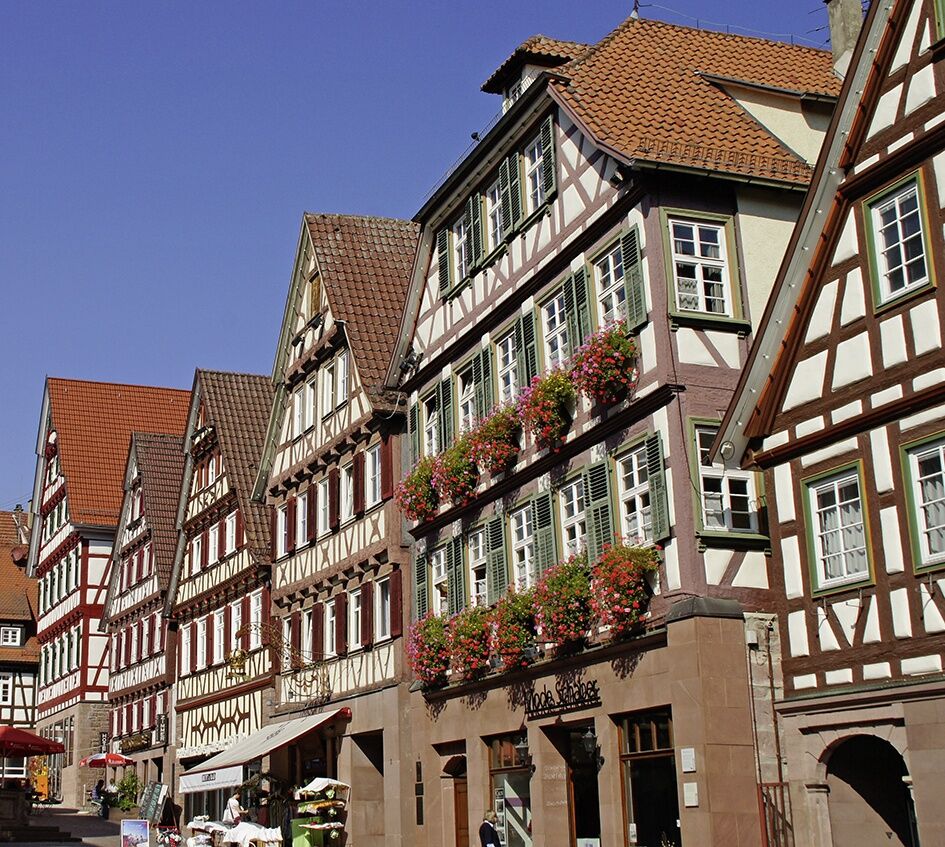
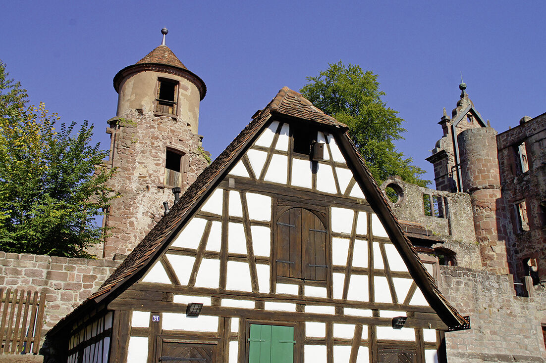
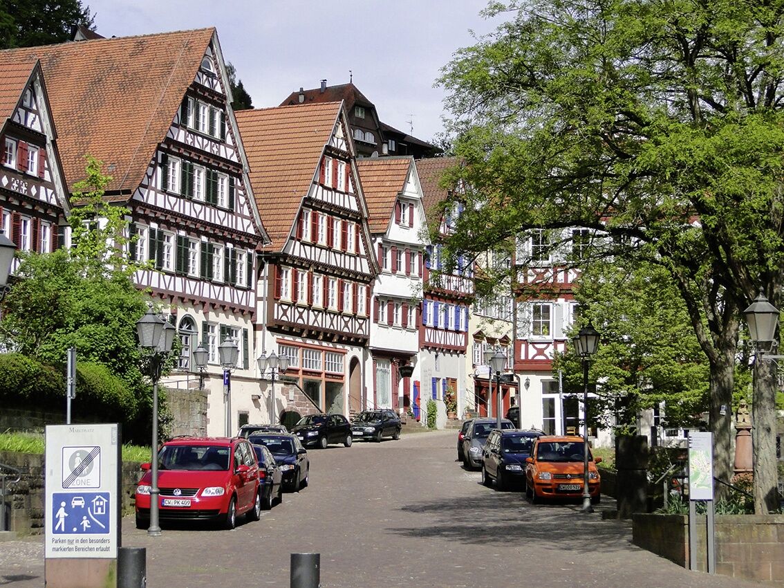

Bietigheim-Bissingen on the Enz is the starting point of the next stage of the German Timber-Frame Road. Worth seeing here are the town center with the historic town hall and the railway viaduct. The path goes along the Enz westwards through the Bürgergarten to the Rommelmühle, which until the end of the last millennium was the largest grain mill in southern Germany. Further south at Hochdorf, a visit to the Celtic prince’s tomb is worthwhile. Via Vaihingen an der Enz with its historic old town and the baroque half-timbered houses, the route continues along the Enz through the wine villages Roßwag and Mühlhausen to Pforzheim, from where we follow the Nagold river through the Black Forest Central/North Nature Park. At Dillweißenstein, you circle along the riverbank around the Dreizelgenberg, continue over the tiny settlement “Maria Königin,” and then cross to the Nagold side via a wooden bridge. From Unterreichenbach, you proceed to the spa Bad Liebenzell with the well-known Paracelsus thermal baths, then uphill along the spa park to Ernstmühl. From there, it’s not far to Hirsau with its significant monastery complex. Finally, the stage destination Calw is reached, the birthplace of the poet Hermann Hesse. Worth seeing are the poet’s museum and the many picturesque alleys and half-timbered houses of the town.
Bicycle helmet, repair kit, cycling gloves, sun protection, provisions, and drinking water
Accessible via A81 and B27
By regional trains and S-Bahn from Stuttgart
Parking in the city area of Bietigheim-Bissingen
2
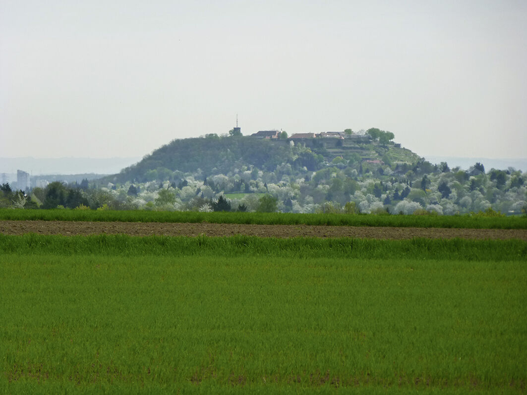
At the top near the Markgröningen water tower, there is a great view of the Hohenasperg.
Získejte přehled
Vždy živě na místě s více než 9 500 webkamerami. bergfex Jako uživatel Pro si nyní můžete zobrazit odpovídající webové kamery pro mnoho prohlídek v aplikaci prohlídky z. Můžete si tak přímo prohlédnout aktuální podmínky.
Oblíbené prohlídky v okolí
-
5.0
Wild romantic Monbach Valley
světloTuristika 6.25 km -
4.0
Mühlen, Wald, Wiesen & Wein
světloTuristika 12.7 km -
4.5
Enzschleife Rosswag-Mühlhausen
středníTuristika 10.7 km -
5.0
AugenBlick-Runde Tiefenbronn-Mühlhausen
Turistika 7.35 km -
4.5
Through beech forests to Hohe Warte
středníTuristika 13.8 km -
Glems Leudenbach Enz
středníTuristika 11.9 km -
4.0
Naturpfad Specht
středníTuristika 5.69 km -
Enz Valley cycle path: stage 2
heavyJízda na kole 59.9 km -
Western route | German Timber-Frame Road: From the Neckar to the Black Forest
heavyCyklistika na velkou vzdálenost 476.6 km -
Sport spirit meets culture and scenic beauty: circular bike route from Althengstett to the Wendelinus Chapel
světloJízda na kole 37.8 km
Pěší turistika a stopování


Nenechte si ujít nabídky a inspiraci pro vaši příští dovolenou
Vaše e-mailová adresa byl přidán do poštovního seznamu.





