




Hike St. James' Way

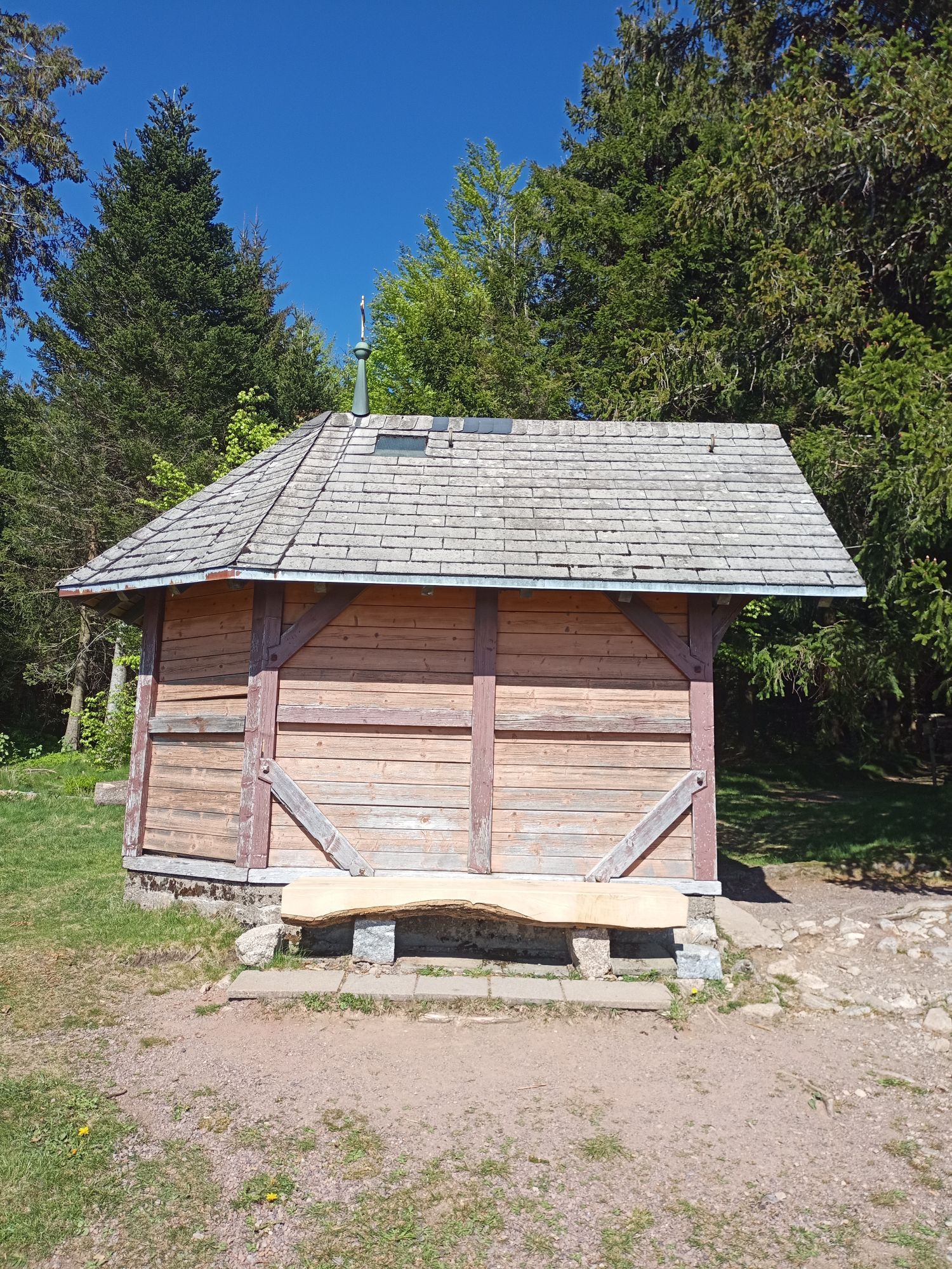
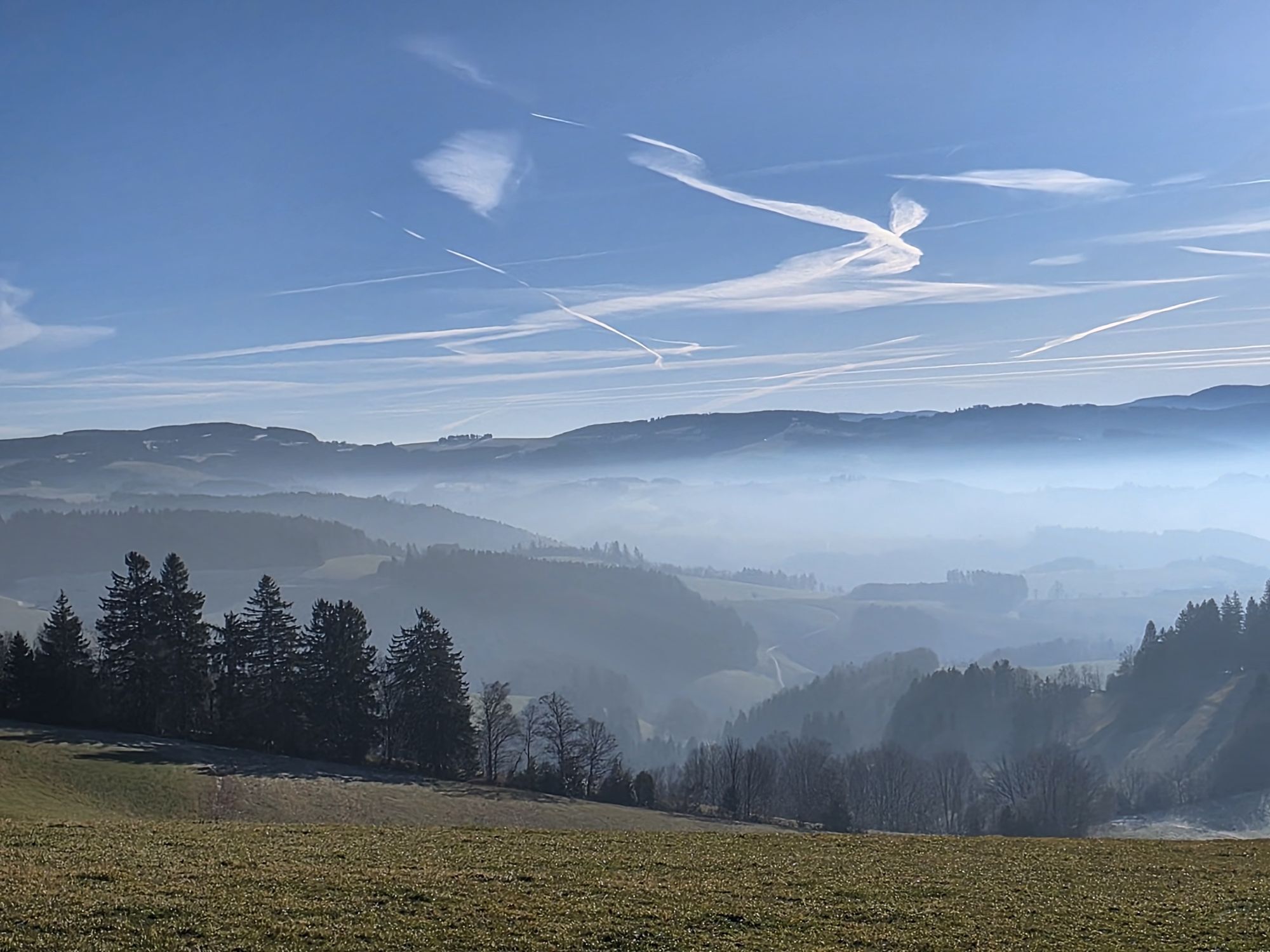
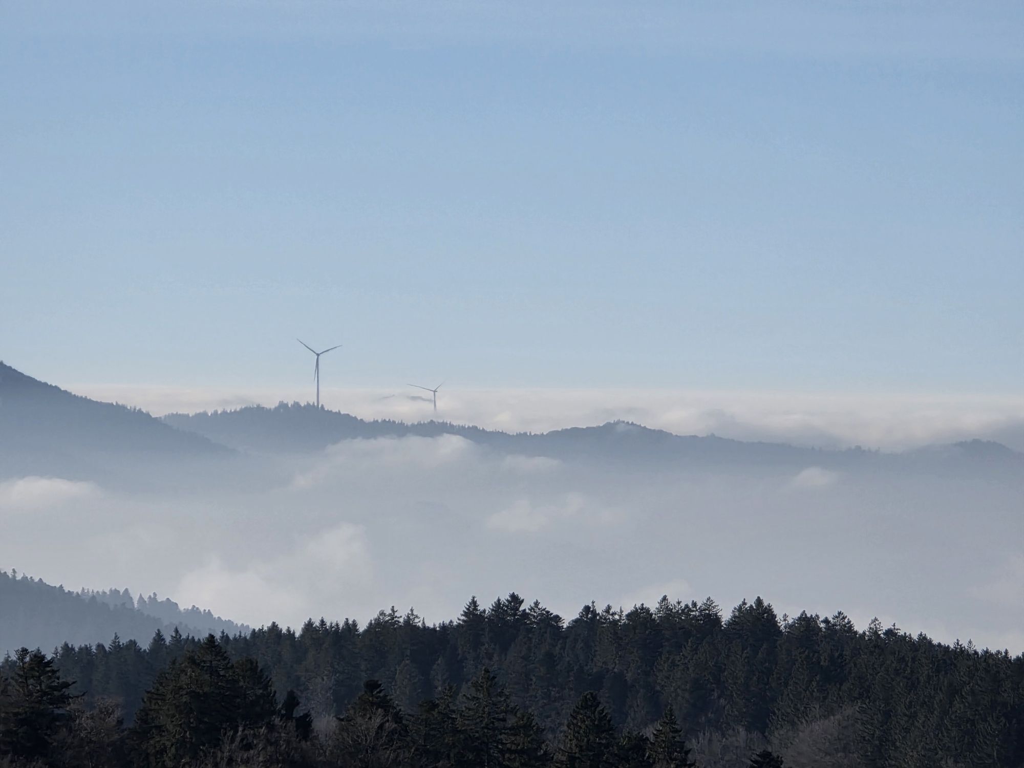
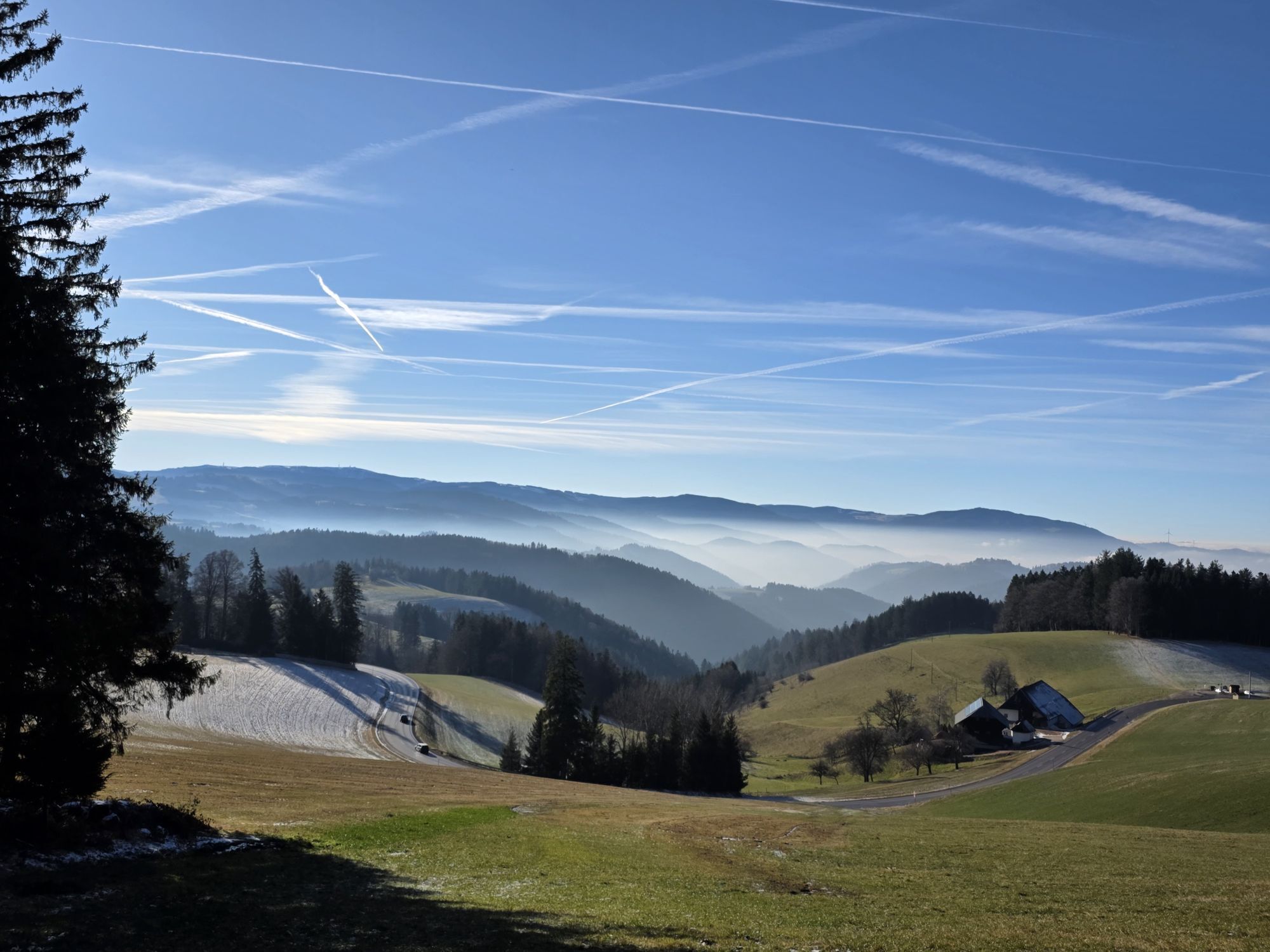
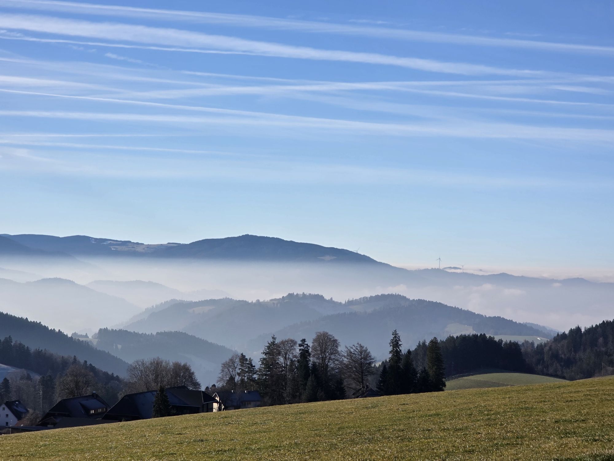
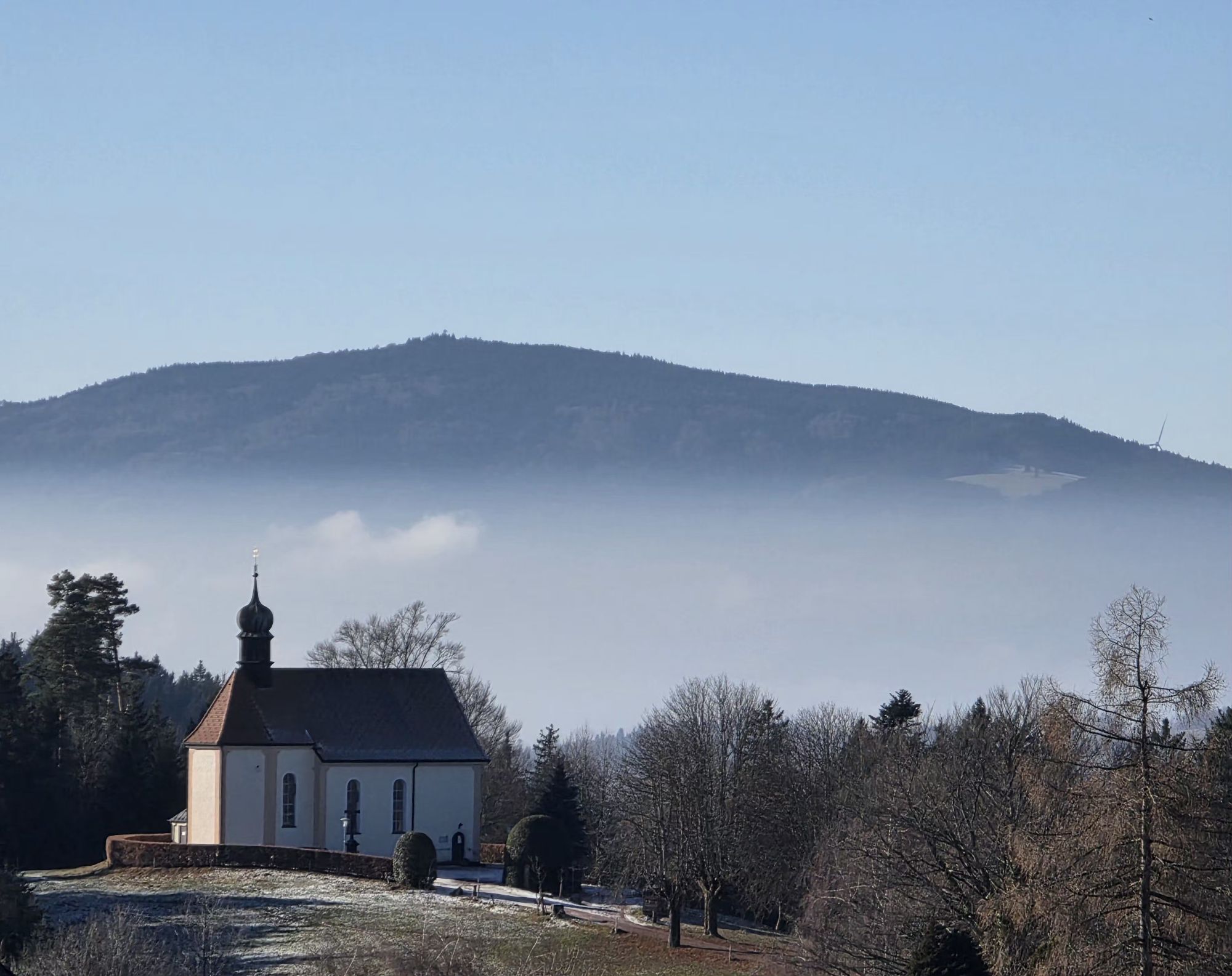

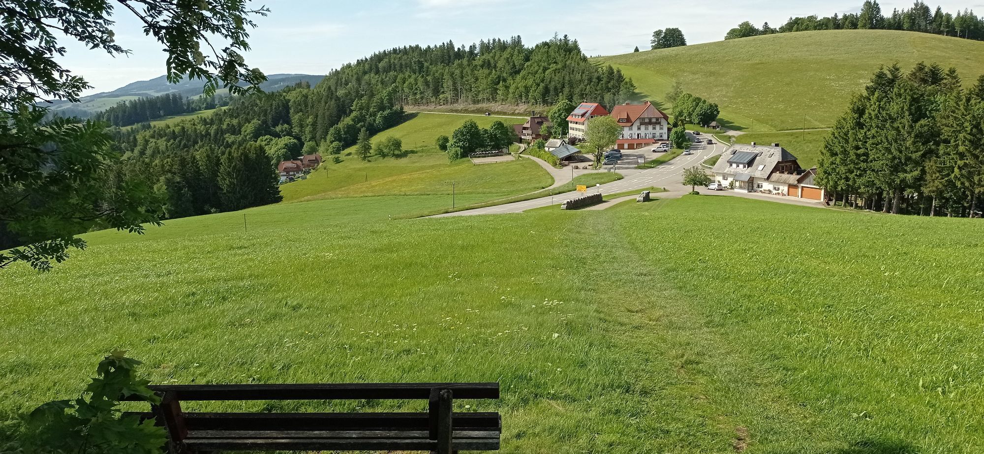

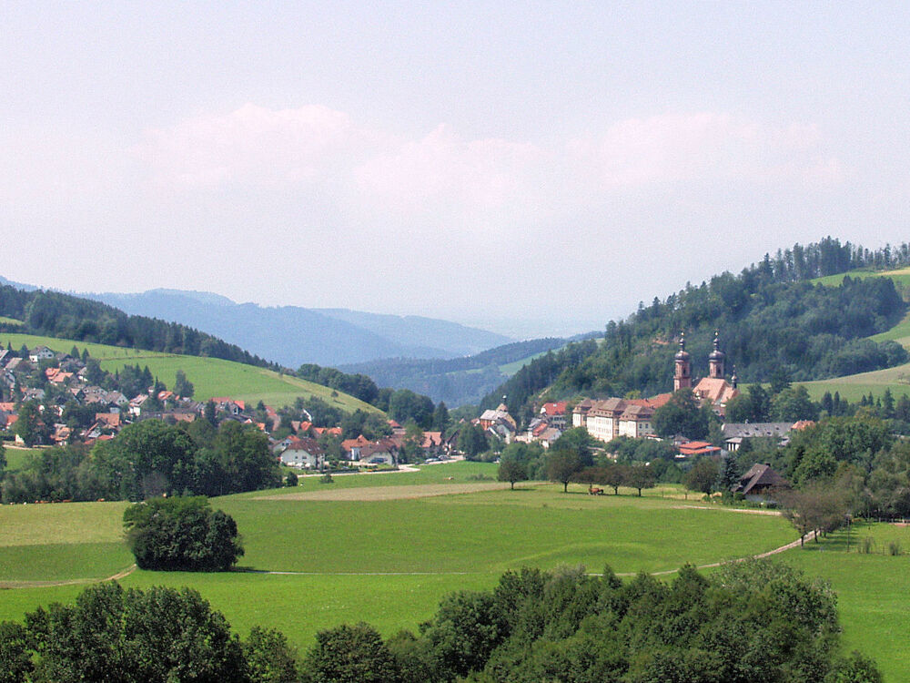
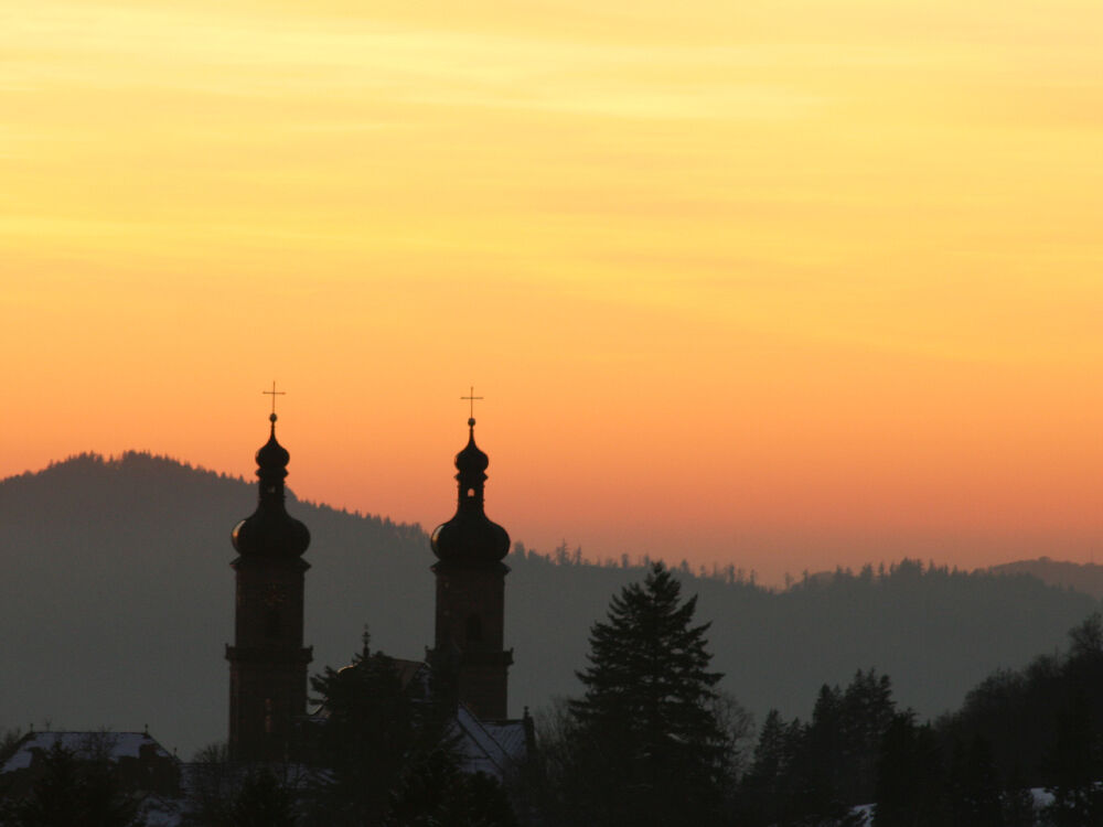
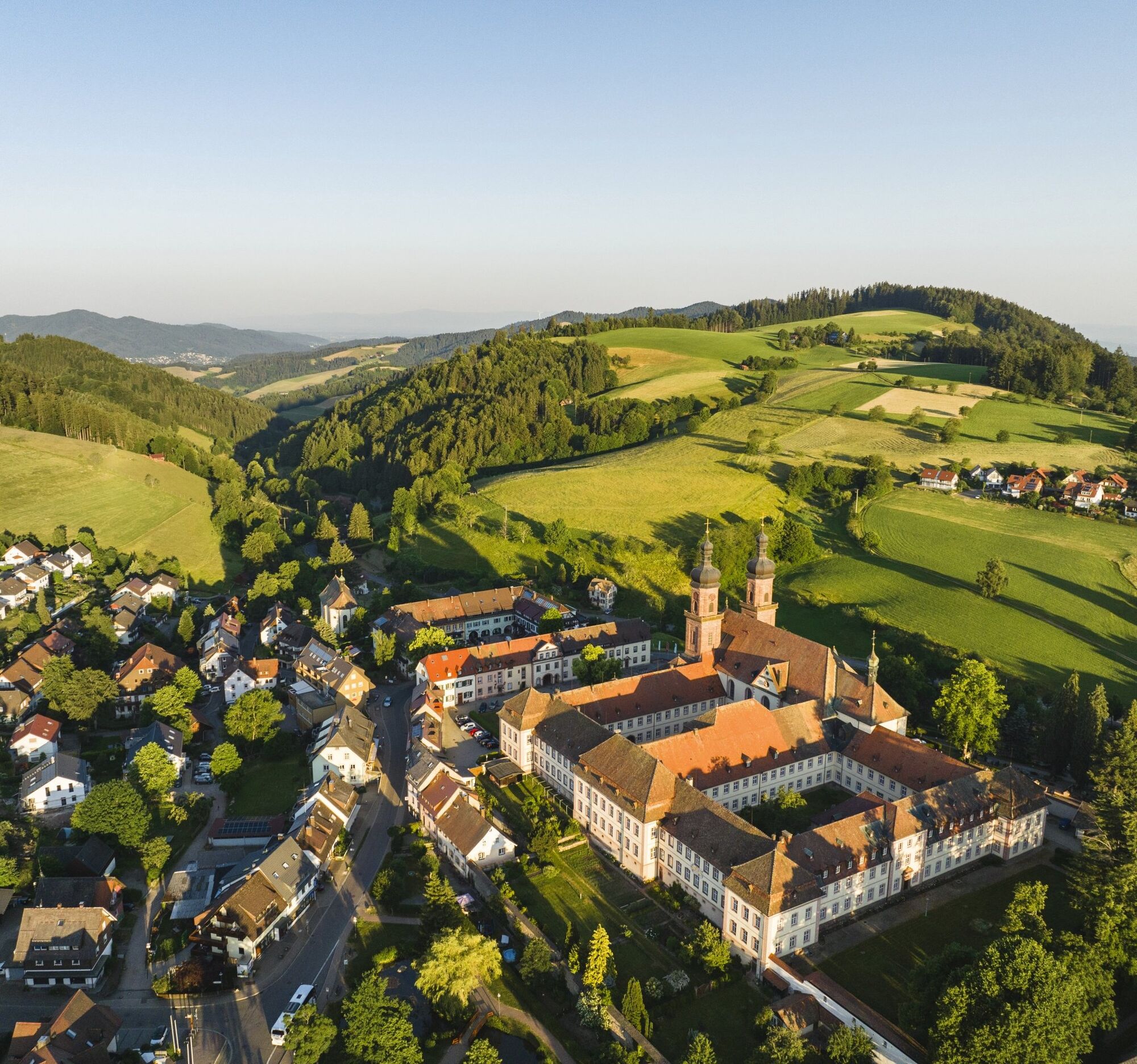
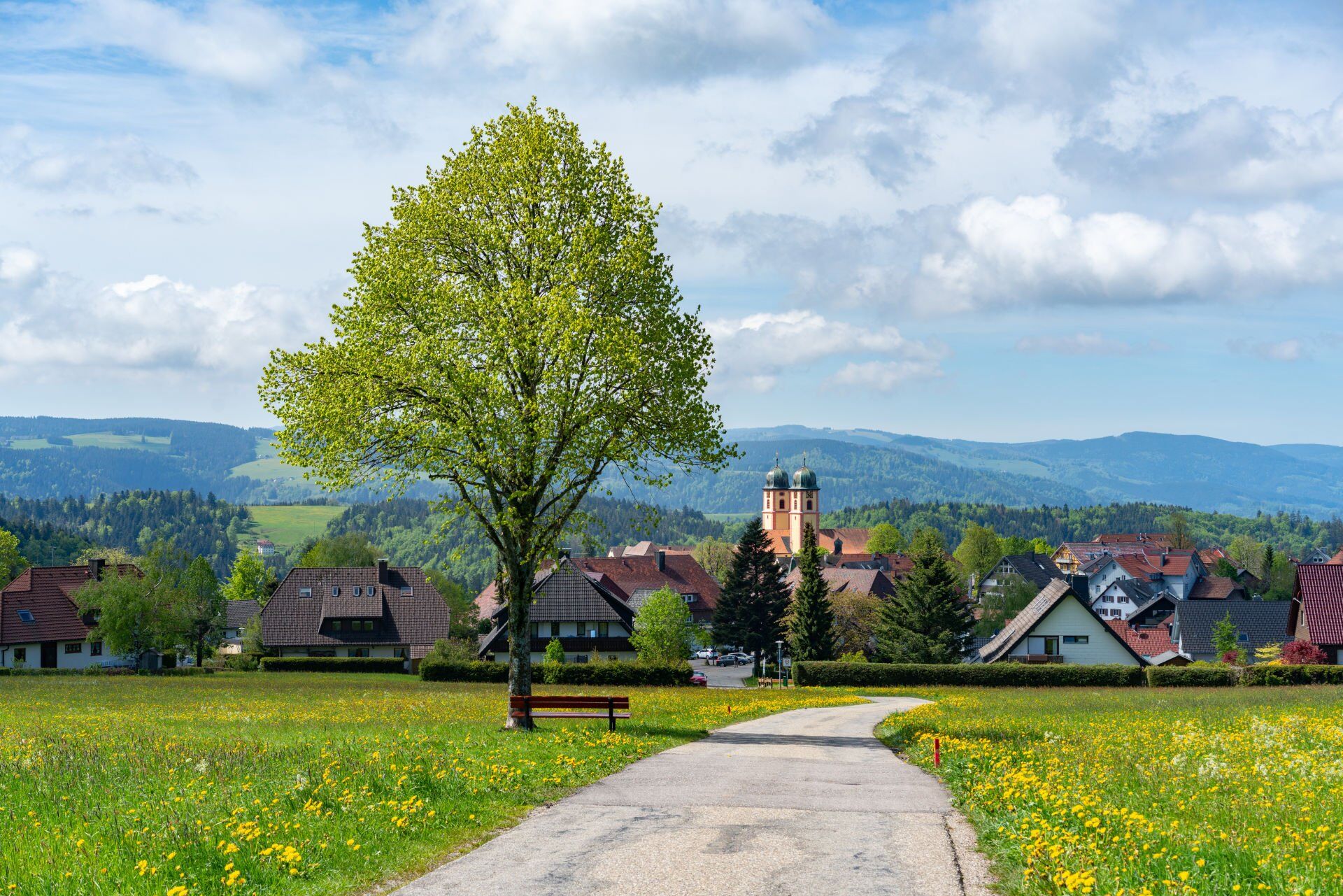
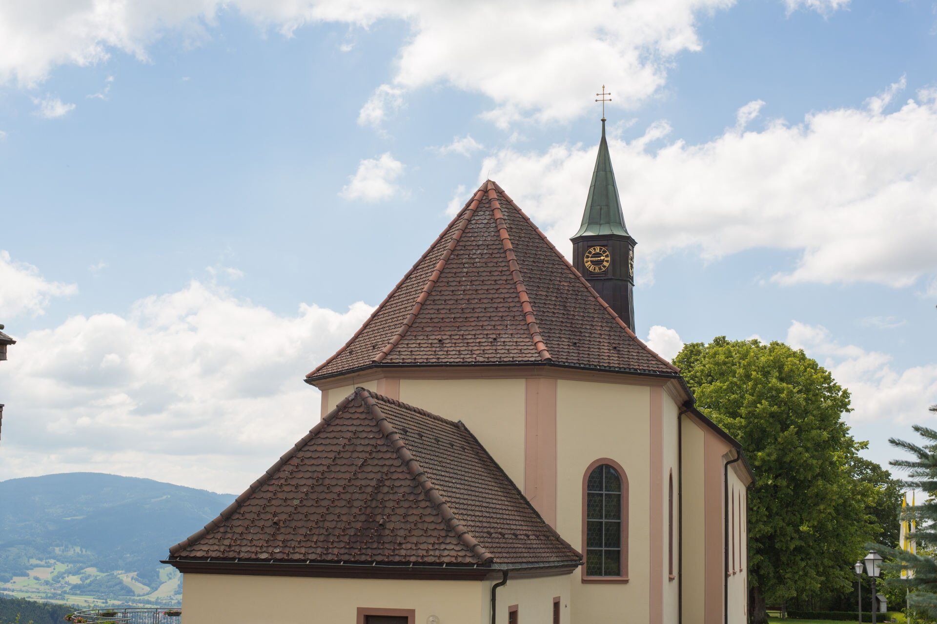

Coming from the Urachtal valley in the Black Forest-Baar district, your route begins at the district border in the ‘Roturach’ area, around 1 kilometre south of the ‘Kalte Herberge’ inn on the B 500. Use the first signpost to orientate yourself in the direction of the B 500 and you will come across the ‘Westweg’, one of the most famous long-distance trails of the Black Forest Association, which is marked with a red diamond sign. After the Gasthaus zum Kreuz in the ‘Hohlengraben/Schanze’ area, leave the Westweg in a north-westerly direction. From here, the regional hiking trail of the Black Forest Association is marked with a blue diamond and signposted in the direction of ‘Neuhäusle/St. Märgen’. After a few kilometres, you will have passed the Neuhäusle and Steinbach-Hirschen inns and cross the state road 128 to the ‘Pfisterrütte’ hiking car park. You will soon reach the outskirts of St. Märgen, where you will easily find the famous monastery church in the town centre. From the centre of St. Märgen, walk back along the L 128 and turn into the side road at Hotel Hirschen. Follow the signposts in the direction of ‘Höhenweg St. Peter. At the ‘Landfeld’ signpost, the Way of St James branches off to the left and leads you along the edge of the forest via the ‘Birkwegeck’ to the Kapfenkapelle chapel. Via the small Vosges chapel, you reach the ‘Vorderer Willmen’ area high above St. Peter. Over open terrain with beautiful views of St. Peter, you reach the village with the second, also twin-towered monastery church. From the centre of St. Peter, the trail leads you south through a residential area out of the village and after a further two kilometres or so you have reached the destination of Maria Lindenberg. The signposts for the Himmelreich-Jakobusweg trail begin at the next crossroads.
Ano
Wir empfehlen festes Schuhwerk.
The most ideal orientation point is the ‘Kalte Herberge’ inn on the B500 between Hinterzarten and Furtwangen. From there, you can reach the starting point ‘Kalte Herberge’ 1km to the south via a forest road.
Bus route 7263 Furtwangen - Kalte Herberge - Vöhrenbach and back. These buses only run Mon-Fri and only on school days.
Kalte Herberge, car park on the B500
Webové kamery z prohlídky

Oblíbené prohlídky v okolí
-
4.7
Black Forest Highlands heritage trail - mills and saws in the gorge
středníTuristika 7.42 km -
3.9
Seerundweg Titisee
světloTuristika 5.84 km -
4.2
Höhenklimaweg Titisee-Rundweg
středníTuristika 7.44 km -
4.5
Through the mystical Bannwald forest to the Zweribach Waterfall
středníTuristika 12.2 km -
4.4
Ravennaschlucht
Turistika 6.90 km -
4.8
Rund um den Kandelgipfel mit tollen Ausblicken
středníTuristika 7.46 km -
3.9
From Titisee to the Hochfirst with its stunning views
středníTuristika 10.6 km -
3.7
Premium Hiking Trail- Säbelthomaweg
středníTematická stezka 11.3 km -
4.3
The Mystical Path to Mathisleweiher
středníTuristika 8.48 km -
5.0
Old chapels and churches in the Ravenna Gorge
středníPoutní stezka 15.7 km
Pěší turistika a stopování


Nenechte si ujít nabídky a inspiraci pro vaši příští dovolenou
Vaše e-mailová adresa byl přidán do poštovního seznamu.


