Navigace na stránkách
Pořiďte si tuto prohlídku do mobilního telefonu
Mapa
Ulrikaweg - entire route from Unterstadion to Hegne

střední
Poutní stezka
123.48 km
Naskenujte QR kód a spusťte navigaci v aplikaci bergfex.
QR Code
Pěší turistika a stopování

Ulrikaweg - entire route from Unterstadion to Hegne
Vzdálenost
123.5 km
Doba trvání
32:00 h
Ascent
1229 hm
Hladina moře
394 - 783 m
Stažení skladby
Mapa
Ulrikaweg - entire route from Unterstadion to Hegne
střední
Poutní stezka
123.48 km

Ulrikaweg

Life is more than the few years on our planet

Being human is more than a functioning body

Spirituality is more than an event

In search of MORE in life, identity and spirituality, one needs paths,...

Popis

Ulrikaweg

Life is more than the few years on our planet

Being human is more than a functioning body

Spirituality is more than an event

In search of MORE in life, identity and spirituality, one needs paths, places and people

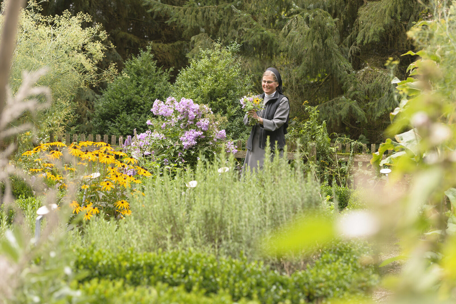
The newly emerging Ulrikaweg carries this message in the figure of the Blessed Sister Ulrika Nisch. Her life, lived in the power of the relationship with God, creation, the neighbor and herself, testifies to this MORE and can become a signpost for others as well.

The Ulrikaweg and the impulses at the individual stations invite, like all offers of the Theodosius Academy, to set out with your own longing for "more" and "different" in the knowledge of arriving and at the same time getting closer to the person and the message of the Blessed Sister Ulrika.

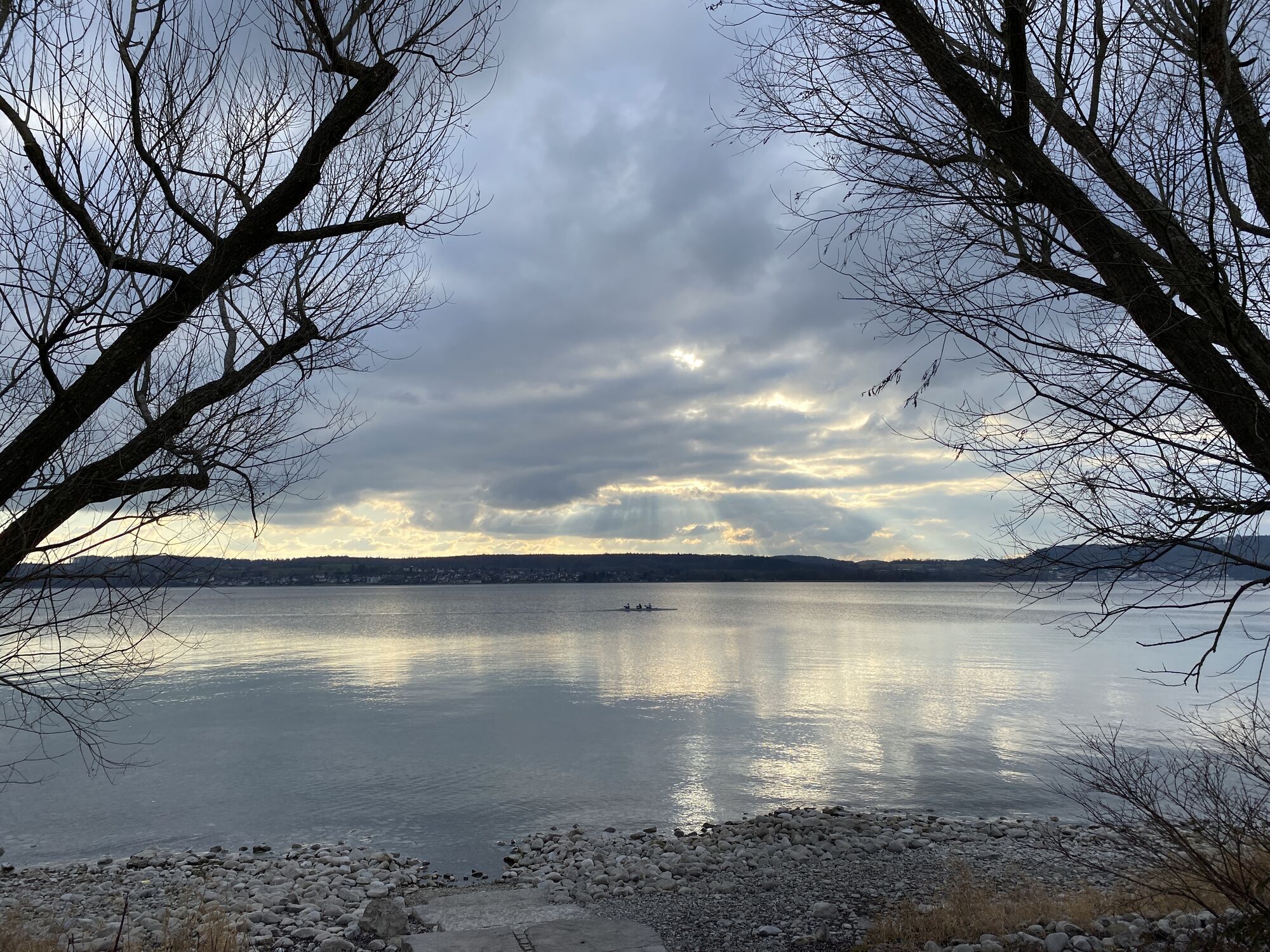
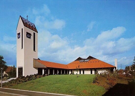
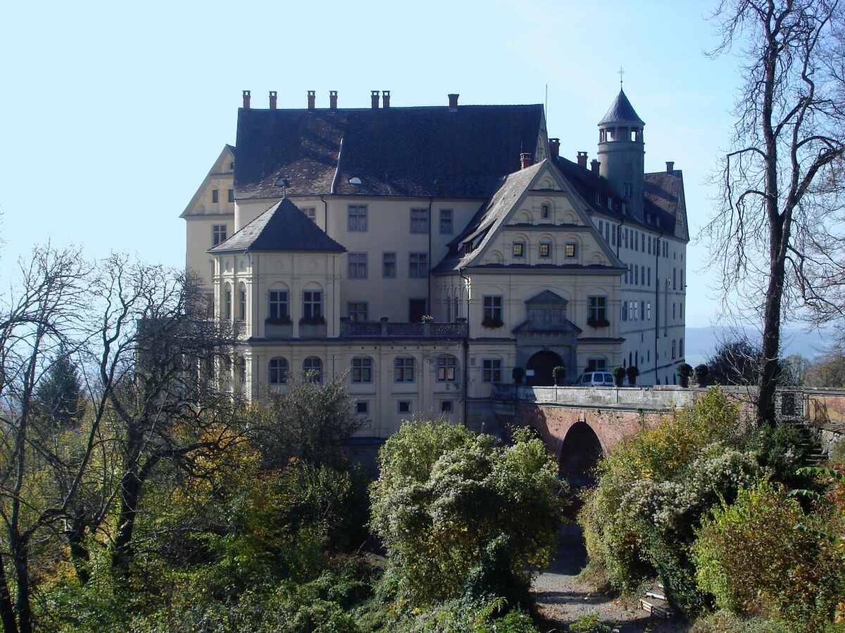
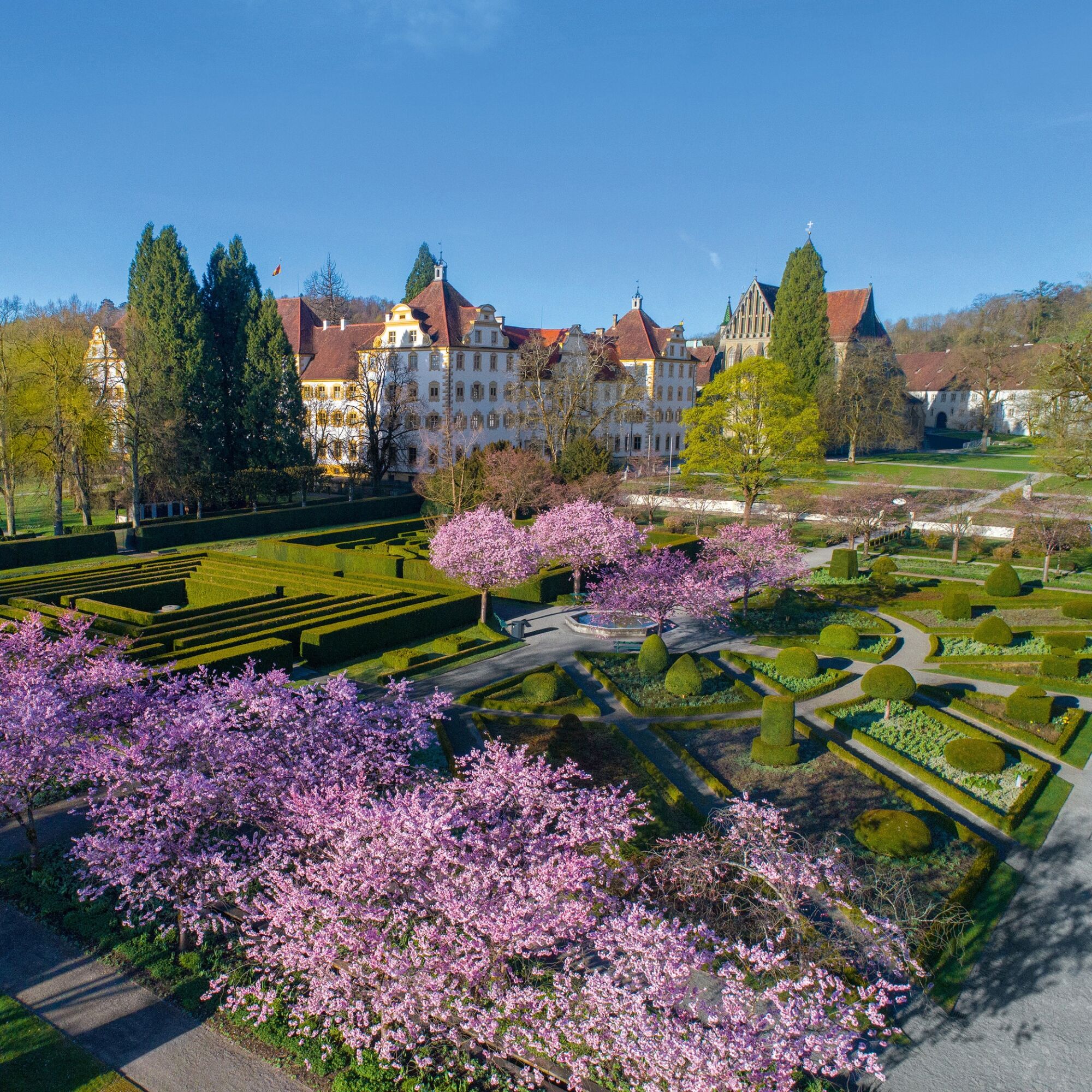
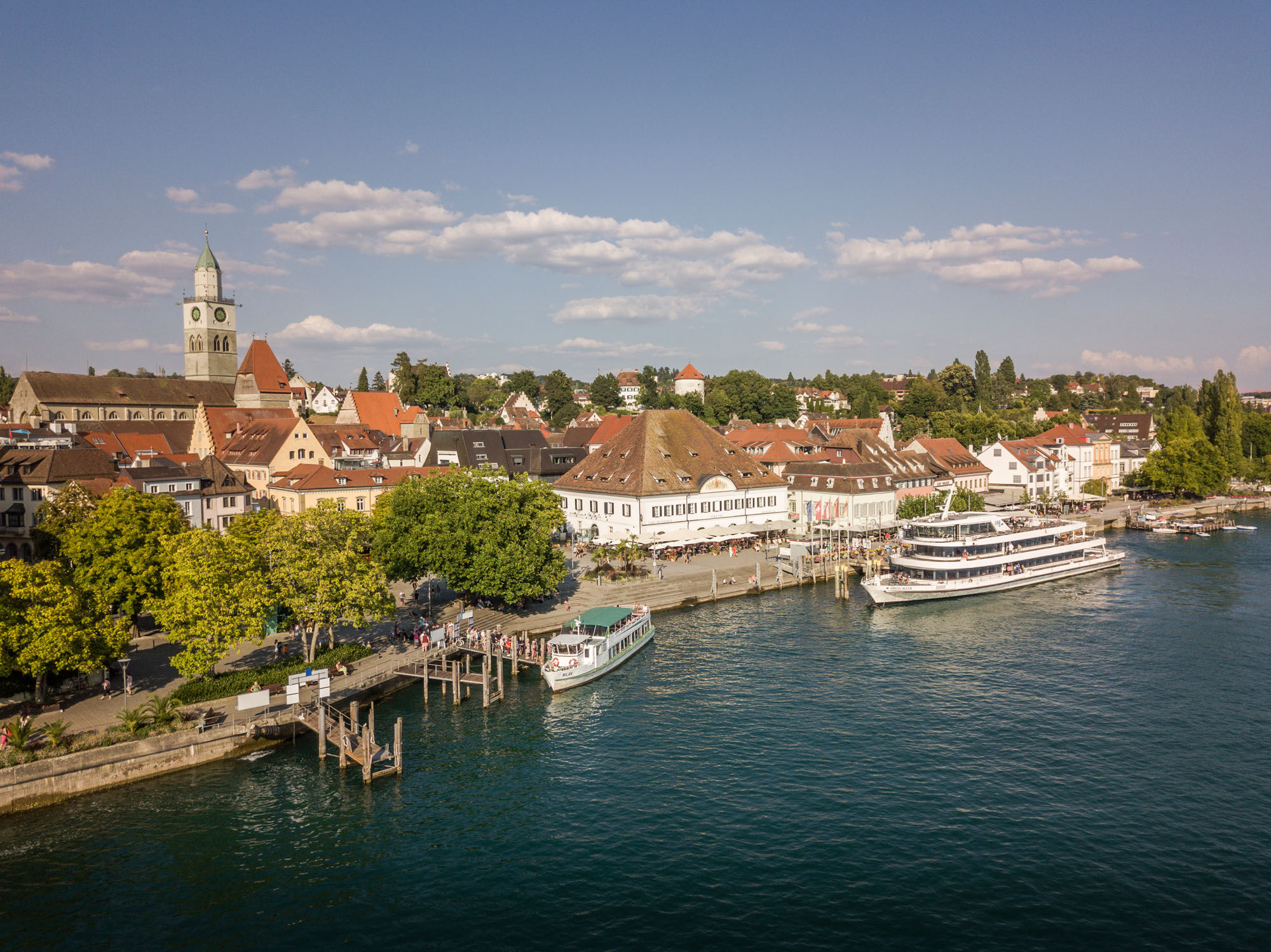
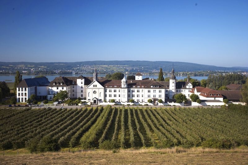
The Ulrikaweg runs in six stages between Unterstadion and Hegne and extends over a distance of 124 km. The start is at the Ulrika church in Unterstadion and leads via Mittelbiberach, Steinhausen and the Sießen Monastery to Illmensee. From here it goes via Salem to Überlingen and by ship across the lake to the destination, Hegne Monastery.

Trasa
Kapelle Maria vom Schnee
(509 m)
Místo konání bohoslužeb
0.0 km
Wasserscheide Rhein/Donau
(601 m)
Horské sedlo
31.6 km
Wasserscheide Rhein/Donau
(604 m)
Horské sedlo
45.8 km
Kloster- und Pfarrkirche St. Markus
(649 m)
Místo konání bohoslužeb
52.3 km
Amalienhöhe
(787 m)
Summit
89.1 km
Basilika Birnau
(436 m)
Místo konání bohoslužeb
106.9 km
Klosterkirche St. Konrad
(421 m)
Místo konání bohoslužeb
123.4 km
Trasa
Mapa
Ulrikaweg - entire route from Unterstadion to Hegne
střední
Poutní stezka
123.48 km
Sankt Maria und Selige Ulrika
(514 m)
Místo konání bohoslužeb
0.0 km
Kapelle Maria vom Schnee
(509 m)
Místo konání bohoslužeb
0.0 km
Unterstadion
(507 m)
Vesnice
0.2 km
Oberstadion
(525 m)
Vesnice
2.3 km
Gasthaus Sand
(520 m)
Restaurace
2.3 km
Gasthaus zum Adler
(526 m)
Restaurace
2.5 km
Aigendorf
(533 m)
Vypořádání
5.6 km
Rusenberg
(579 m)
Vypořádání
7.0 km
Burren
(596 m)
Vypořádání
12.4 km
Gasthaus Burren
(595 m)
Restaurace
12.4 km
Kapelle der hl. Ulrika
(589 m)
Místo konání bohoslužeb
16.7 km
Mittelbiberach
(564 m)
Vesnice
18.5 km
St. Cornelius und Cyprian
(567 m)
Místo konání bohoslužeb
18.7 km
Oberdorf
(565 m)
Sousedství
20.0 km
Gasthaus Scheune
(568 m)
Restaurace
20.4 km
Horeb
(574 m)
Sousedství
20.5 km
Berg
(634 m)
Hill
26.7 km
Steinhausen
(583 m)
Vesnice
29.3 km
Wallfahrtskirche Unserer Lieben Frau, Pfarrkirche St. Peter und Paul
(582 m)
Místo konání bohoslužeb
29.4 km
Landgasthof zur Linde
(583 m)
Restaurace
29.5 km
Totenbühl
(607 m)
Hill
30.5 km
Wasserscheide Rhein/Donau
(601 m)
Horské sedlo
31.6 km
Hans-Zuckle-Bank
(611 m)
Úhel pohledu
32.3 km
Panoramakarte
(625 m)
Úhel pohledu
33.1 km
Schussenquelle
(605 m)
Zdroj:
33.8 km
Roppertsweiler
(594 m)
Sousedství
34.5 km
Bad Schussenried
(573 m)
Město
35.4 km
Campus am Wald
(605 m)
Sousedství
36.4 km
Bussenblick
(639 m)
Úhel pohledu
37.1 km
Hopferbach
(625 m)
Vesnice
37.4 km
Schwemme
(657 m)
Vypořádání
41.0 km
Gaststube Zum Hasen
(678 m)
Restaurace
42.2 km
Renhardsweiler
(677 m)
Vesnice
42.2 km
Steinbronnen
(635 m)
Vypořádání
43.5 km
Lampertsweiler
(632 m)
Vesnice
45.0 km
Kapelle St. Valentin
(635 m)
Místo konání bohoslužeb
45.1 km
Wasserscheide Rhein/Donau
(604 m)
Horské sedlo
45.8 km
Sankt Verena
(639 m)
Místo konání bohoslužeb
48.6 km
Haid
(640 m)
Vypořádání
48.8 km
Bogenweiler
(620 m)
Vypořádání
50.7 km
Kloster Sießen
(649 m)
Sousedství
52.2 km
Kloster- und Pfarrkirche St. Markus
(649 m)
Místo konání bohoslužeb
52.3 km
Sießen
(642 m)
Vypořádání
52.4 km
Bolstern
(640 m)
Vesnice
54.7 km
Hoßkirch
(631 m)
Vesnice
60.6 km
St. Petrus
(637 m)
Místo konání bohoslužeb
60.8 km
Königseggwald
(647 m)
Vesnice
63.3 km
Goldener Löwen
(654 m)
Restaurace
63.8 km
St. Georg
(656 m)
Místo konání bohoslužeb
63.8 km
Aussichtsplattform Vogelsee
(609 m)
Úhel pohledu
72.4 km
Riedwirtschaft
(612 m)
Restaurace
73.1 km
Marienkapelle
(682 m)
Místo konání bohoslužeb
76.2 km
Buhhof
(767 m)
Vypořádání
77.2 km
Illmensee
(699 m)
Vesnice
78.0 km
Maria Himmelfahrt
(702 m)
Místo konání bohoslužeb
78.5 km
Krumbach
(747 m)
Vypořádání
80.4 km
Maria, Mutter der immerwährenden Hilfe
(755 m)
Místo konání bohoslužeb
80.8 km
Ellenfurter Tobel
(619 m)
Vypořádání
83.6 km
Betenbrunn
(756 m)
Vypořádání
86.4 km
Amalienhöhe
(787 m)
Summit
89.1 km
Heiligenberg
(735 m)
Vesnice
89.7 km
Rickenwiesen
(531 m)
Vypořádání
94.1 km
Frickingen
(472 m)
Vesnice
95.4 km
La Dolce Vita - Pizzeria
(470 m)
Restaurace
95.4 km
Martinskirche
(473 m)
Místo konání bohoslužeb
95.4 km
Schloss Salem
(442 m)
Vypořádání
99.5 km
Mendlishausen
(442 m)
Vypořádání
103.9 km
Restaurant Affenberg
(443 m)
Restaurace
103.9 km
Mendlishauser Hof
(444 m)
Koridor/terén
104.0 km
Restaurant Birnauer Oberhof
(448 m)
Restaurace
106.6 km
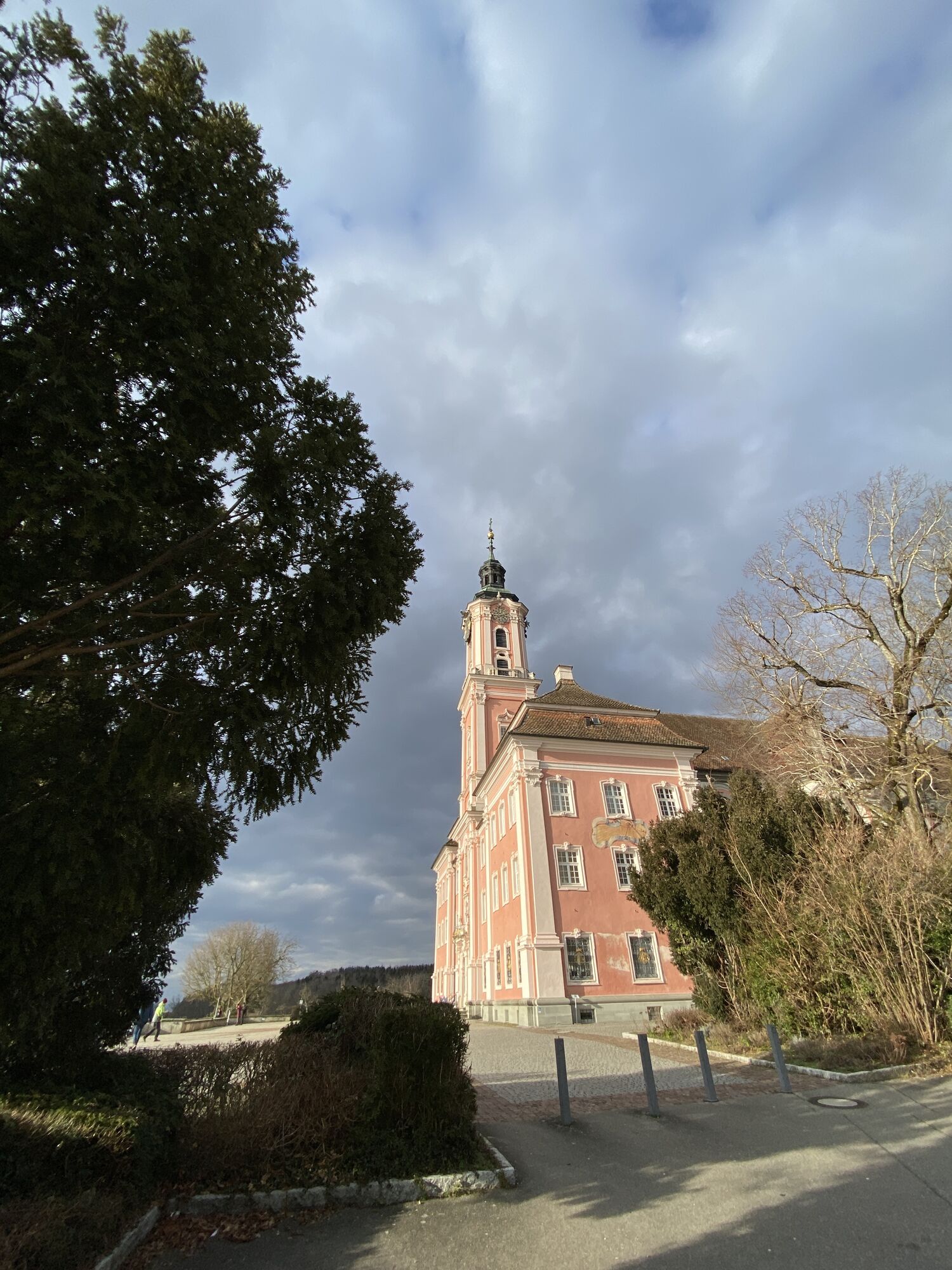
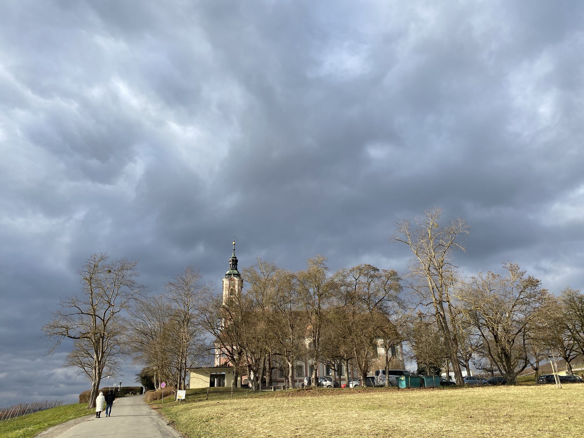
Basilika Birnau
(436 m)
Místo konání bohoslužeb
106.9 km
Untermaurach
(396 m)
Vypořádání
107.5 km
Nußdorf
(410 m)
Sousedství
109.1 km
Restaurant - Cafe Strandbad Ost
(401 m)
Restaurace
110.8 km
Überlingen
(397 m)
Přístaviště trajektu
112.5 km
Überlingen
(394 m)
Přístaviště trajektu
112.6 km
Fähre Wallhausen-Überlingen
(394 m)
Přístaviště trajektu
115.3 km
Wallhausen
(427 m)
Vesnice
115.3 km
Hafen-Grill
(399 m)
Restaurace
115.5 km
Orangerie
(400 m)
Restaurace
115.5 km
Constance
(405 m)
Město
122.0 km
Nonnenwiese
(428 m)
Koridor/terén
122.1 km
Konvent-Kapelle
(419 m)
Místo konání bohoslužeb
123.3 km
Klosterkirche St. Konrad
(421 m)
Místo konání bohoslužeb
123.4 km
Hegne
(421 m)
Vesnice
123.5 km
Informace o prohlídce

The Ulrikaweg follows the footsteps of the Blessed Sister Ulrika and leads from her residence Obestadion in Upper Swabia to the Hegne Monastery at Lake Untersee, where she is buried.

Technologie
n.a.
Stav
4 / 6
Krajina
6 / 6
Zkušenosti
6 / 6
Celoročně přístupné
Led
Úno
Bře
Dub
Kvě
Čen
Čec
Srp
Zář
Říj
Lis
Pro
Sdílet prohlídku
Mapa
Ulrikaweg - entire route from Unterstadion to Hegne
střední
Poutní stezka
123.48 km
Chyba
Došlo k chybě. Zkuste to prosím znovu.
Informace o trase
Trasa

Total route 124 km (including crossing Lake Überlingen)

website Ulrikaweg

The pilgrimage route comprises six stages of different lengths (see stage descriptions):

1. Unterstadion - Mittelbiberach (18 km)

2. Mittelbiberach - Steinhausen (9 km)

3. Steinhausen - Sießen Monastery (24 km)

4. Sießen Monastery - Illmensee (27 km)

5. Illmensee - Salem Castle (22 km)

6. Salem - Hegne Monastery (24 km)

Informace o příjezdu
Příjezd

By car to Unterstadion, but the return trip by public transport from Hegne to Unterstadion is very inconvenient.

Veřejná doprava

By bus to Unterstadion, stop Hauptstraße, or Unterstadion-Bettighofen, stop Am Stehenbach (from there on foot in eastward direction) to the church.

Pěší turistika a stopování

Pěší turistika a stopování

Pěší turistika a stopování
Více než 550.000 návrhů výletů, podrobné mapy a intuitivní plánovač tras dělají z aplikace nezbytnou výbavu pro všechny milovníky přírody.
bergfex