


Baiersbronn T10 Murg Valley Route - Shortcut 2 Dornstetter Weg
Úroveň obtížnosti: S2

Slightly shortened route for switchback and flow trail lovers through the special landscape of the Lower Murg Valley. Those who prefer it leisurely divide the route and ride it in two stages!

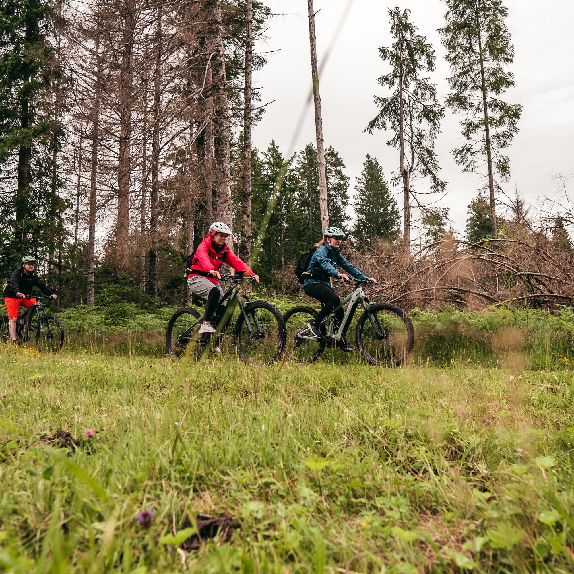
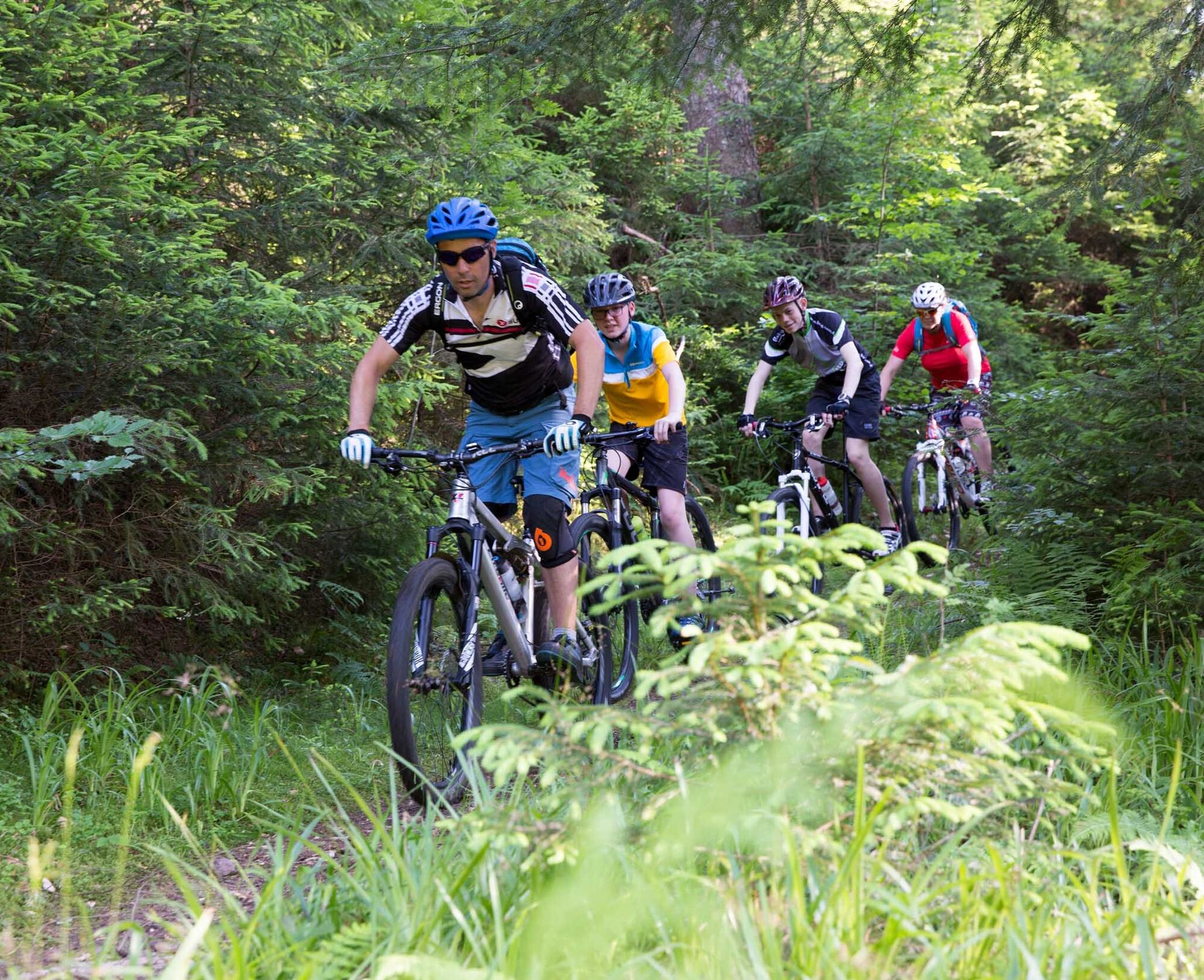
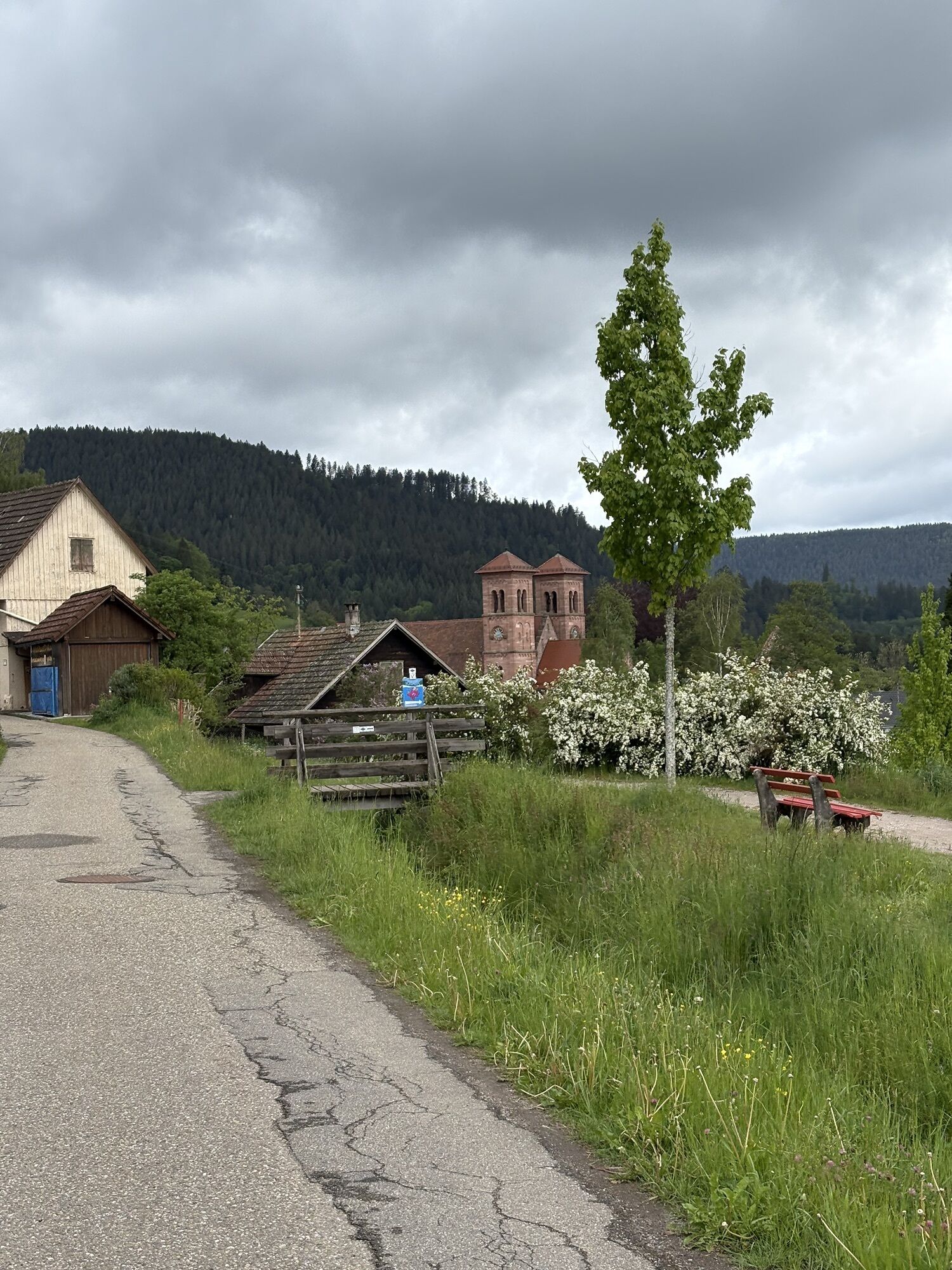
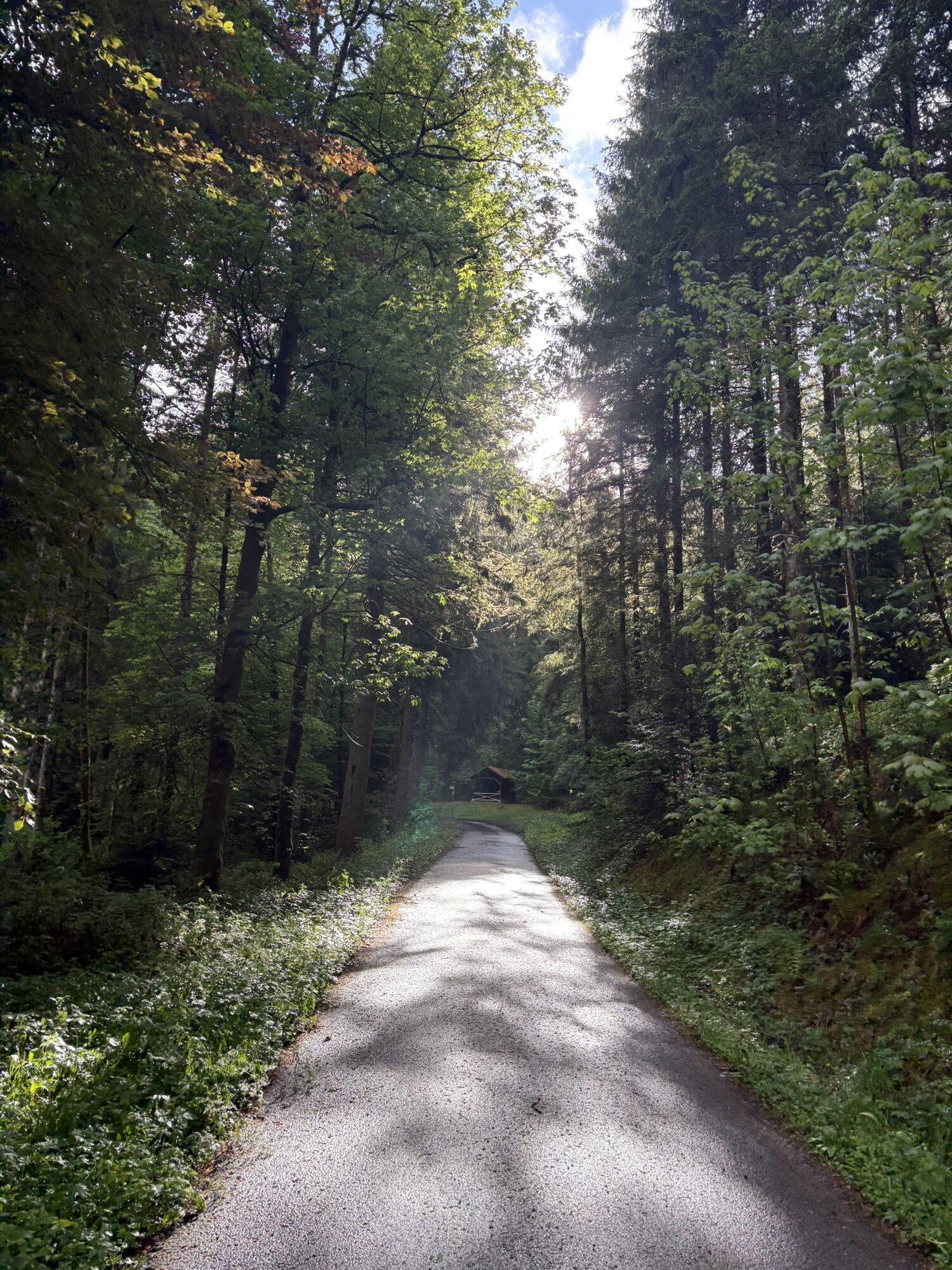
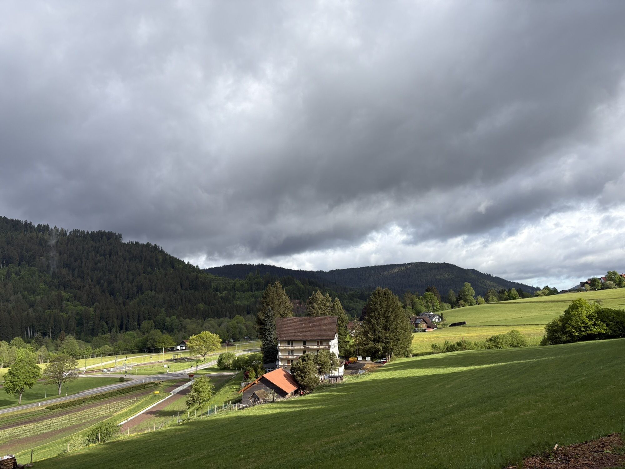
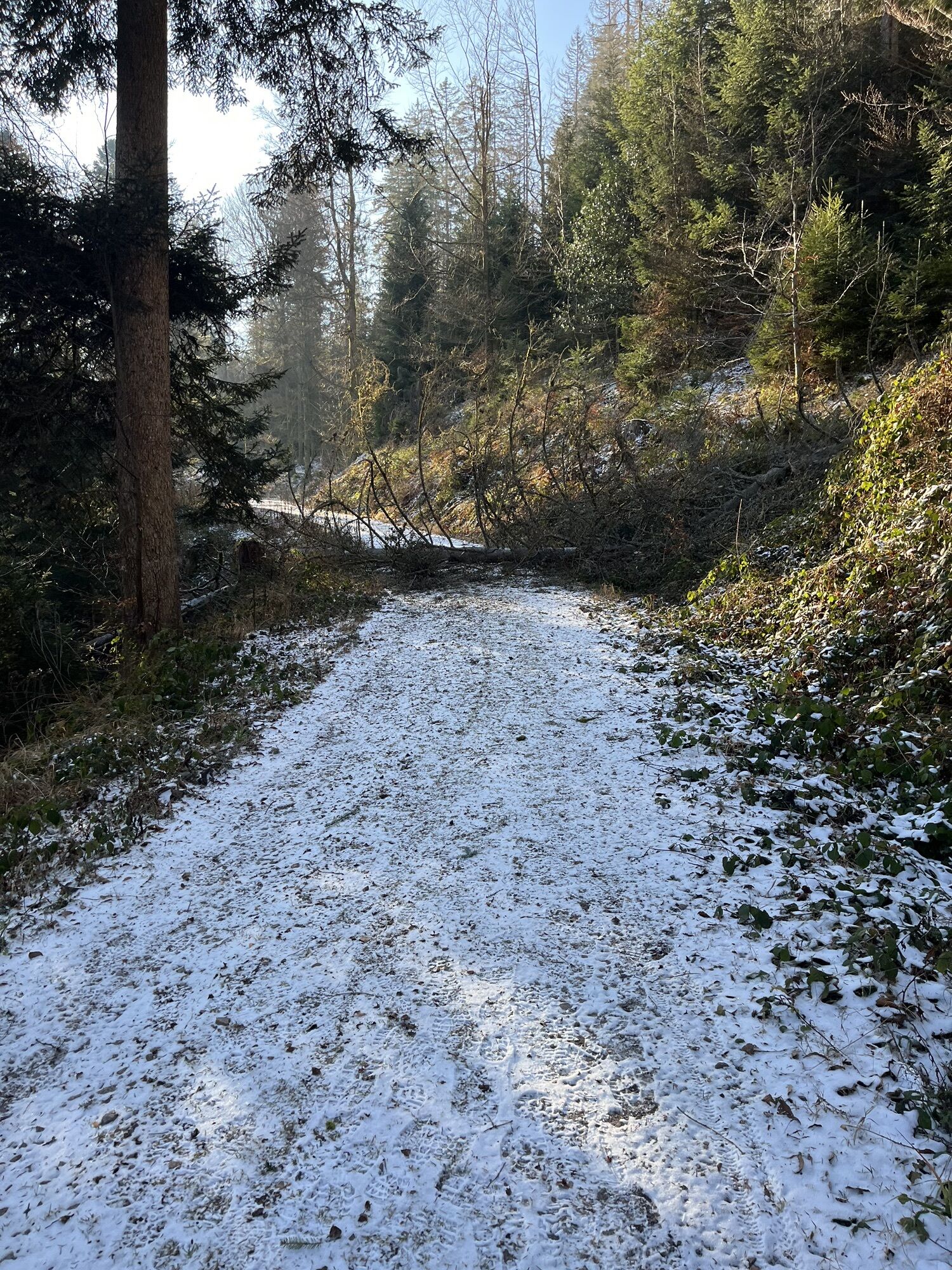
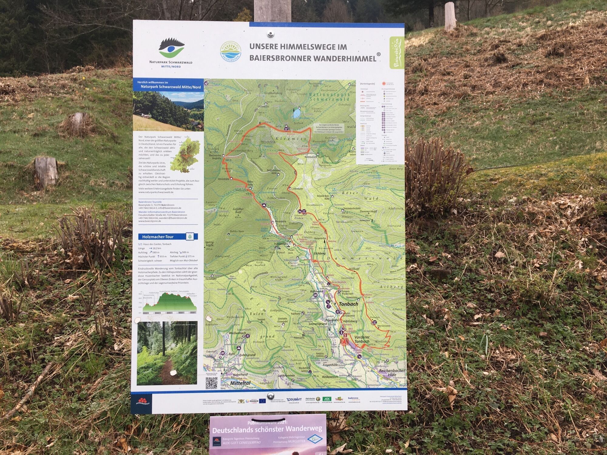
The Murg Valley Route is the king route in Baiersbronn for fans of flowing trails. It is just as trail-like here but noticeably less rugged than on T8. The start is at the Klosterreichenbach swimming pool car park. Right at the beginning, the route is slightly shortened in this variant. This is especially interesting if you have already ridden or want to ride the detour into the Reichenbach Valley with its long trail descent as part of T2 or T6. From Dornstetter Weg, it gently climbs past the Klosterquelle spring and continues to Musbacher Straße. Then the challenging part begins over a trail that leads uphill and downhill along the slope. This style continues until reaching Heselbach. Trails, natural and gravel paths alternate as well as climbs and descents. From Heselbach, there is a longer climb up to Zwerenberg. The subsequent switchback descent is worth all the climbing effort (approx. 200 m elevation). Of course, you can skip this detour by turning left immediately at Wannengründle.
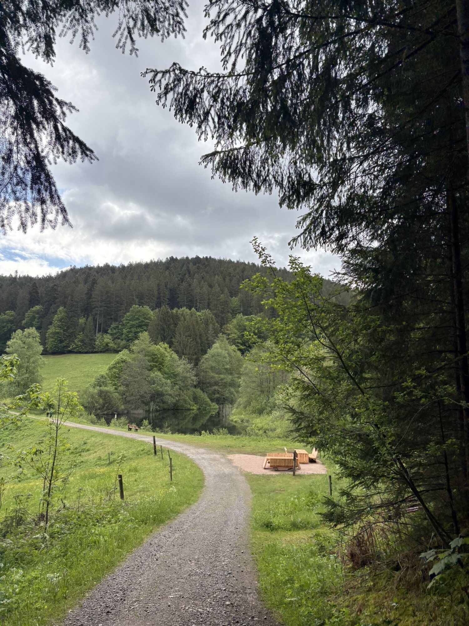
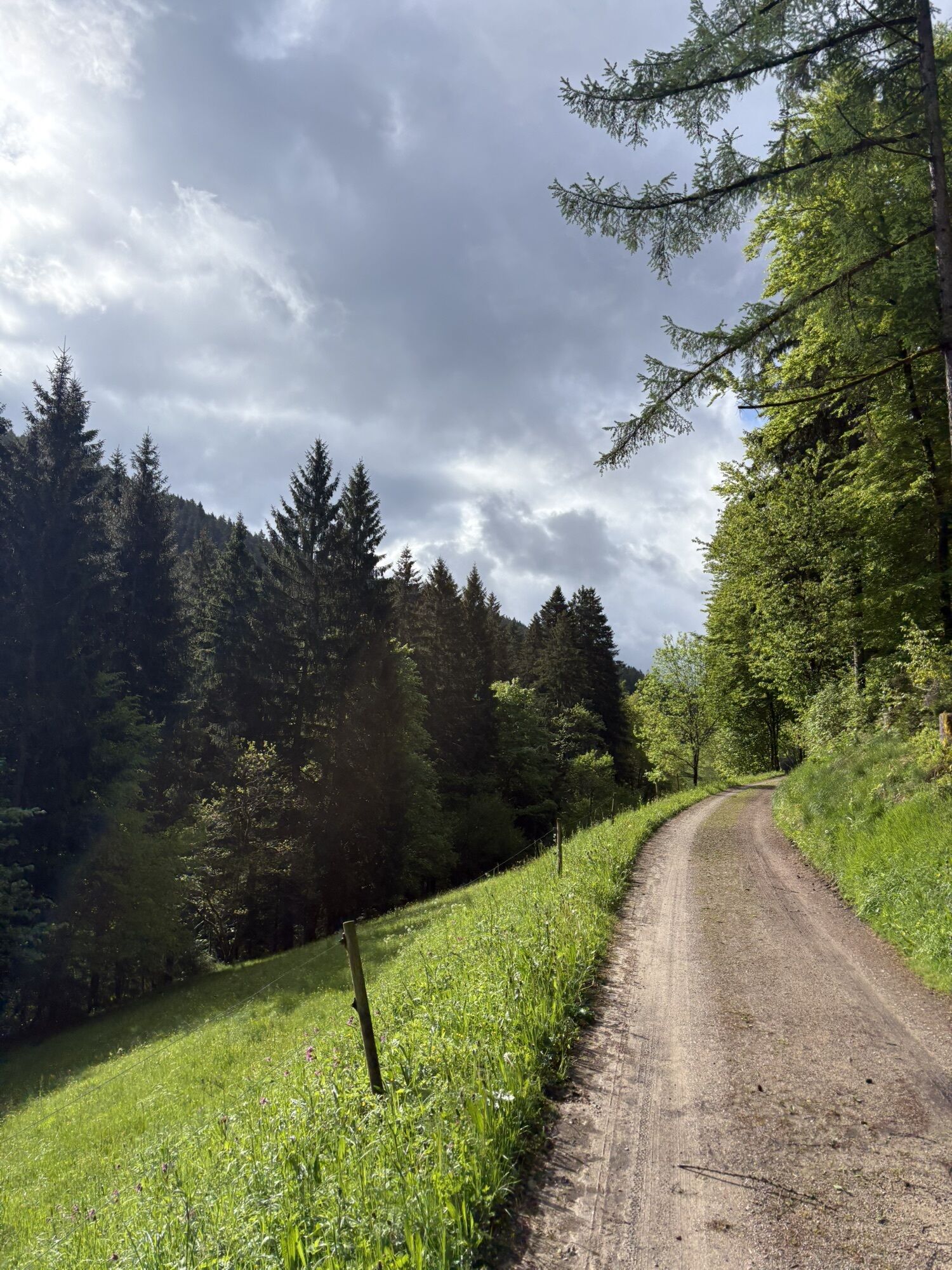
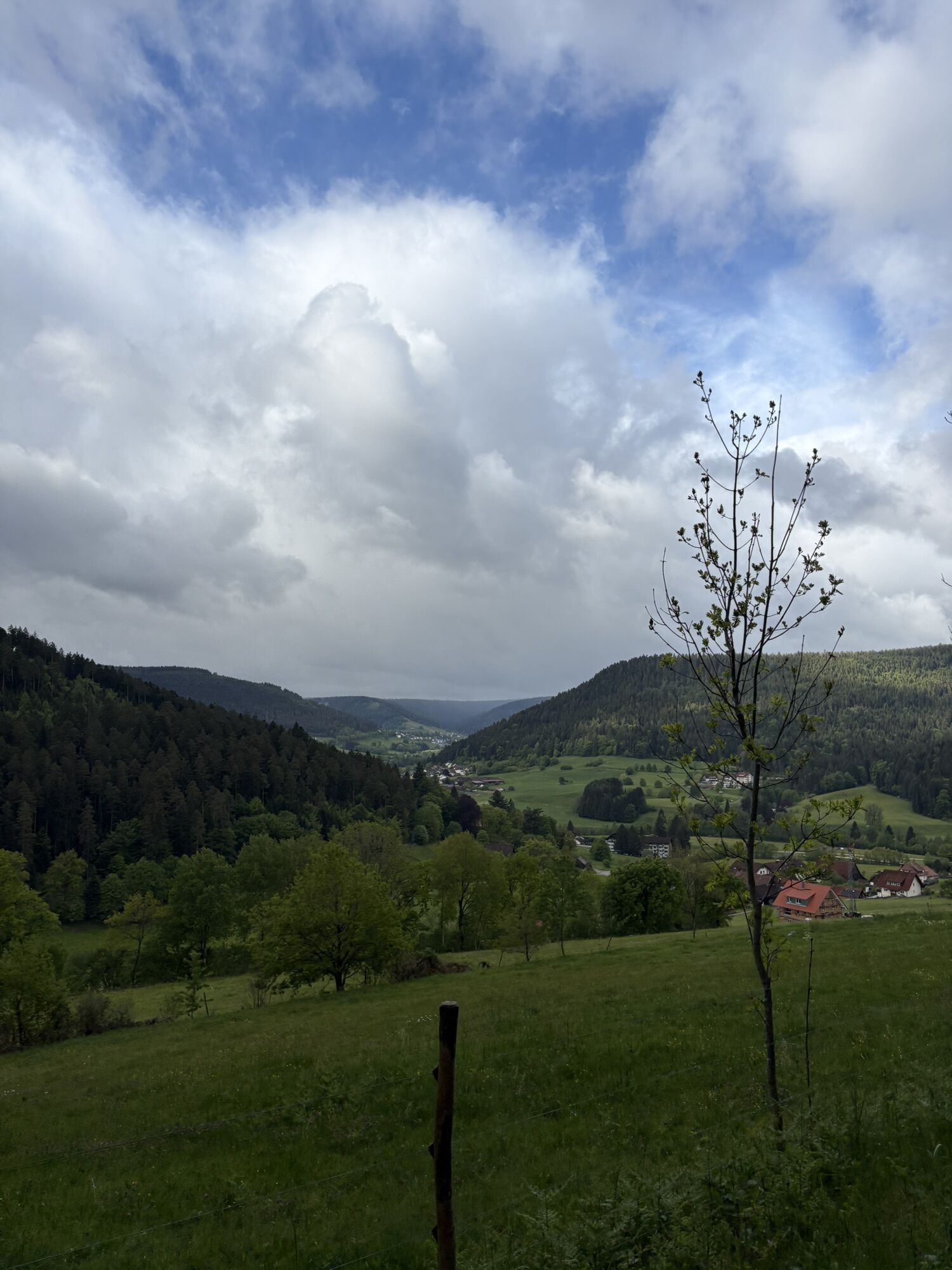
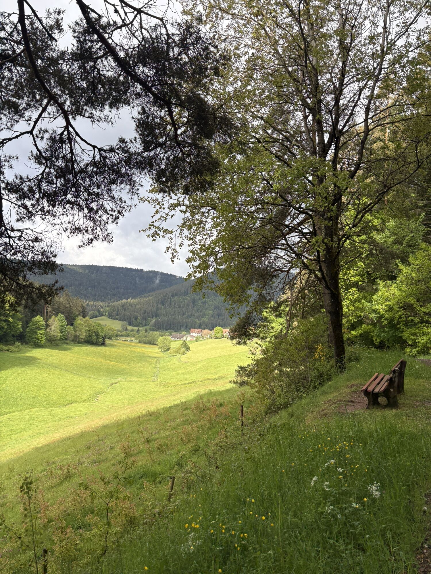
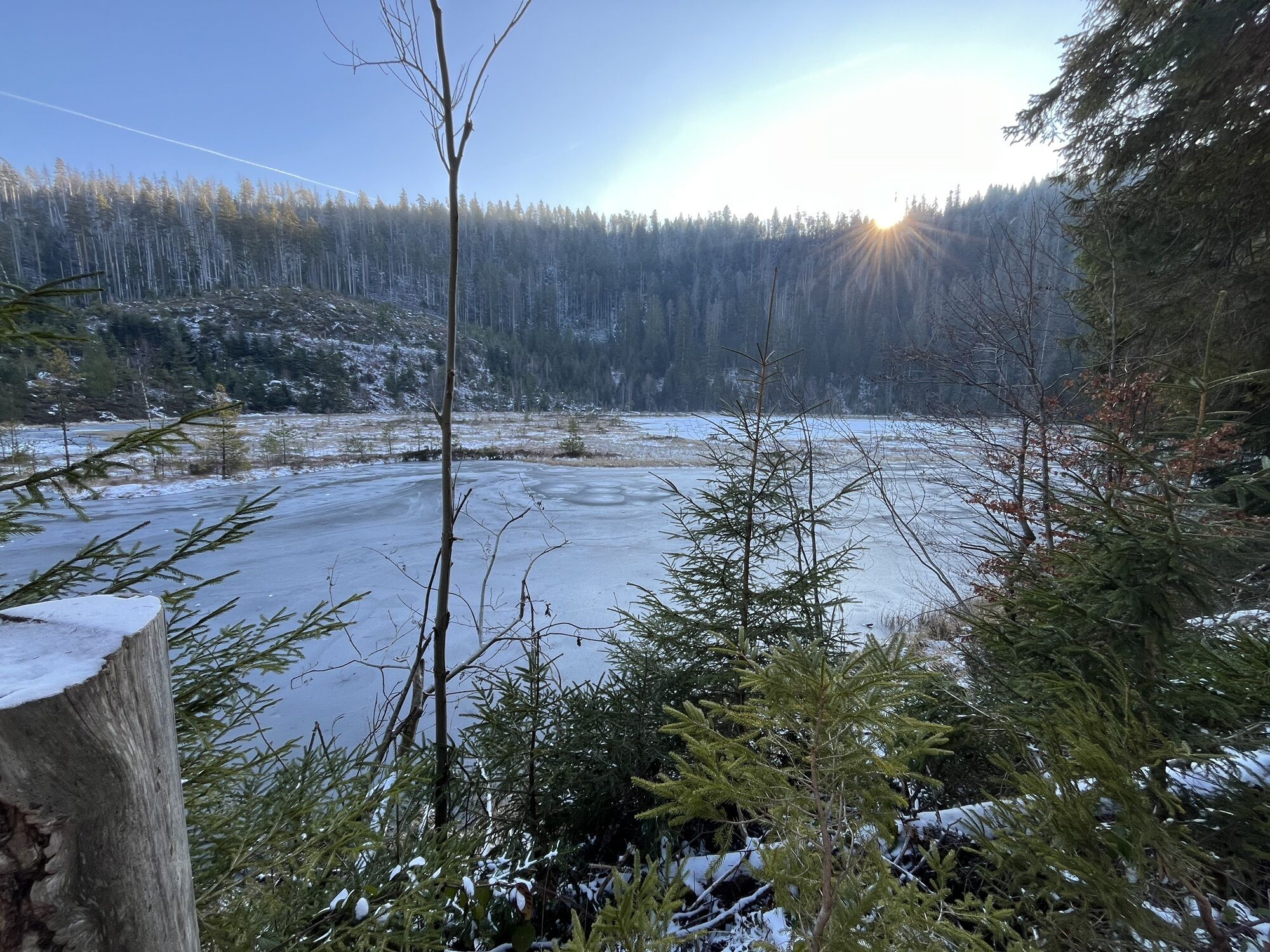
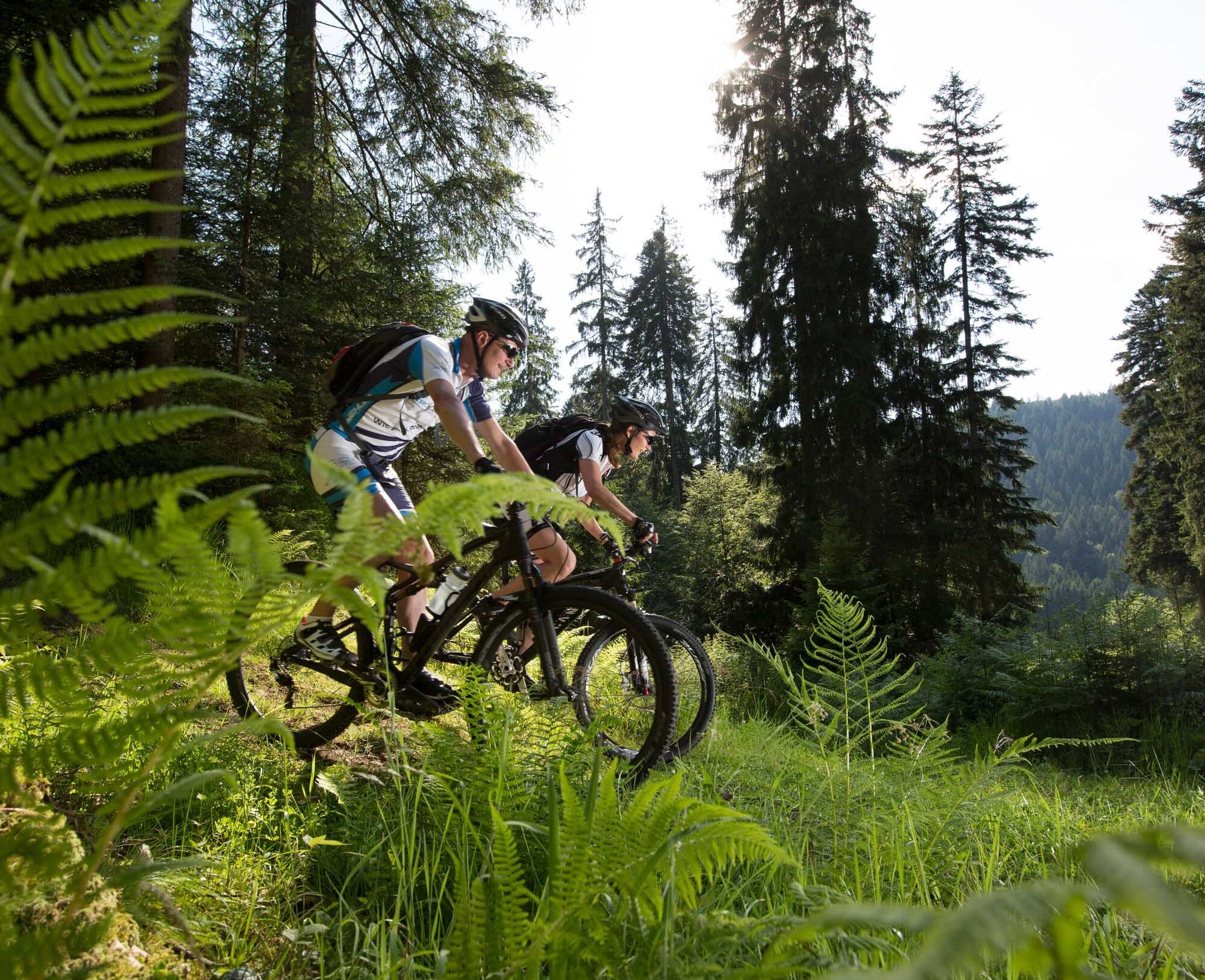
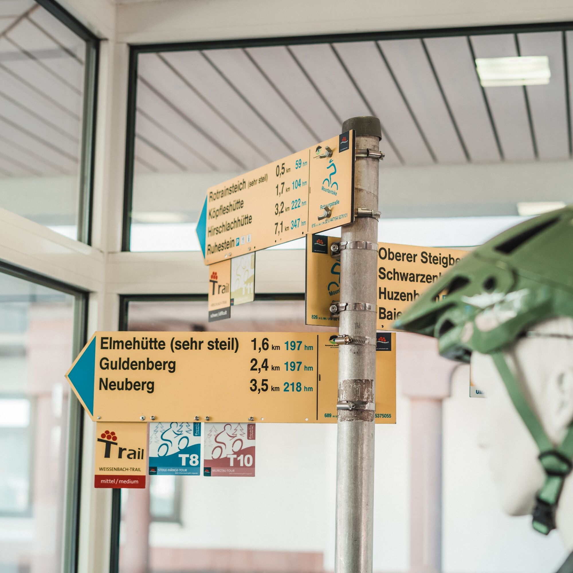
Gravel paths bring cyclists back up to the ridge near B294. At Hinterbuch, the fun part begins until reaching L350. From here, it goes down an asphalt section to Schönegründ. Then continue north on Alte Landstraße. The uphill trail section is a challenge; afterwards, legs can recover nicely on the gravel climb at a steady pace. Next follows the super flowing Huzenbach trail. Through Huzenbach, with supply options at the local shop, we cycle to the western side of the valley. Just below Huzenbacher Lake, you enter the Black Forest National Park. Circumnavigating the lake, it is worth opening your eyes and ears wide to let this natural paradise affect you. The route then climbs again towards Kleemisse. It is definitely worth riding a few meters straight ahead here to the Huzenbacher lake view! Via a natural path, you reach Kleemisswegle and continue cycling along the slope with constant ups and downs. At the Johanna Katz Hut (not managed), take a rest with a first-class view of the Lower Murg Valley. Then continue to Hahnenstein and from there into the Weiherhütten trail, another treat for switchback lovers. On the next gravel section, enjoy the view again and then pedal up above Zinkenteich to the Ailbach spring. Those who want to arrive quickly take the shortcut. Everyone else circles Bruckenberg, lies down on one of the sky loungers at Priorstein, and relaxes. The elevation gain is done, the rest of the route is fun and "rolls". A longer trail descent with many switchbacks again brings us down into the Tonbach Valley. Along the slope, we pedal easily towards the finish in Klosterreichenbach.
Shortcut: Another signposted shortcut option is available at the very end of the route at the Ailbach spring. However, this shortens the route by only about 2 km.
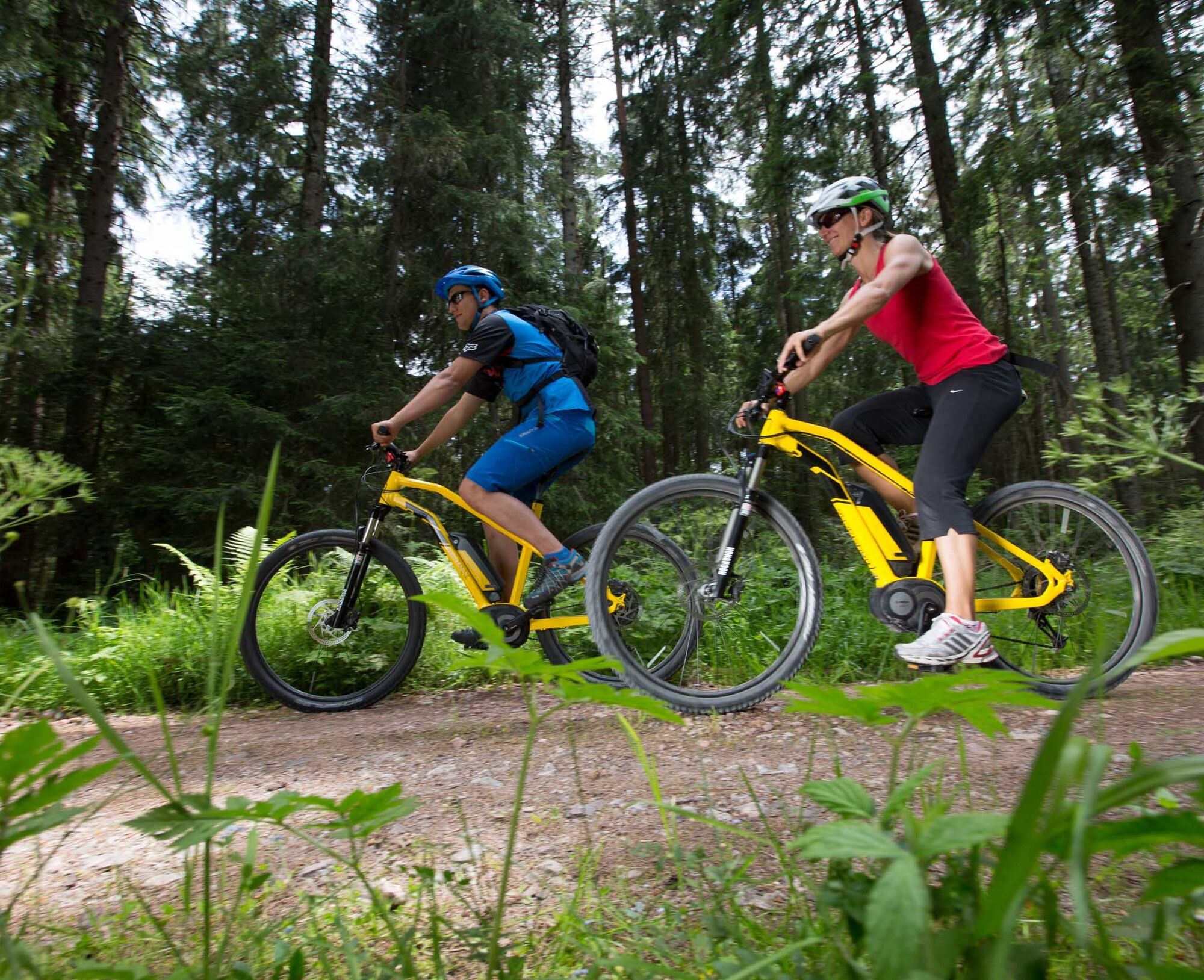
E-mountain bike:
Only suitable for fully suspended e-mountain bikes and very experienced riders.
Please check in advance at the current trail closures or at the Baiersbronn hiking information center whether the route is open. Tel.: +49 7442 8414-66.
In the national park area, there are seasonal trail closures, especially in the wildlife protection areas during winter. In particularly sensitive areas, these may last beyond the winter. In case of closure, a detour is signposted.
Children:
The route is generally suitable for young people from about 12 years but requires very good fitness. Tip: Plan an overnight stay in Huzenbach!
Car park at the Klosterreichenbach outdoor swimming pool, Schwimmbadweg, 72270 Baiersbronn-Klosterreichenbach
S2
Tips for this route:
Link to T10 - Murg Valley Route with the entire route length Link to T10 - Murg Valley Route Shortcut 1 Dornstetter Weg - Klosterquelle – Reuthäberle Everything about mountain biking in BaiersbronnRefreshment options:
Heselbacher Hof (directly on the route) limited options in Huzenbach (corner shop), various options in the Tonbach Valley Seidtenhof at the end of the route various opportunities for a final drink in KlosterreichenbachHuzenbacher Lake
Huzenbacher Lake View rest with a view at the Johanna Katz Hut
Sky loungers with a view at Priorstein
Webové kamery z prohlídky
Oblíbené prohlídky v okolí
- 4,7
Kniebiser Heimatpfad - Wandern mit Genuss
světloTuristika 9,07 km - 4,0
Sankenbachwasserfälle und Glasmännlehütte am Stöckerkopf
středníTuristika 12,8 km - 5,0
Naturgewalten-Tour
Turistika 15,6 km - 5,0
Bannwald-Tour
Turistika 13,3 km - 4,7
premium hiking trail Enzquellenpfad
středníTuristika 19,9 km - 5,0
Kniebis-Sankenbachwasserfälle-Sankenbachsee
středníTuristika 7,98 km - 4,0
Eiszeit-Tour
Turistika 11,7 km - 2,6
Genießerpfad zum Panoramastüble
Turistika 10,6 km Über die Alexanderschanze zum Ellbachsee
Turistika 11,1 km- 4,0
Genießer-Tour
Turistika 17,2 km
Pěší turistika a stopování


Nenechte si ujít nabídky a inspiraci pro vaši příští dovolenou
Vaše e-mailová adresa byl přidán do poštovního seznamu.