






Baiersbronn T4 Ruhestein route
A circular route through the upper Murg valley and through the national park mostly on well-developed paths. Via Mitteltal and Obertal it goes to the Ruhestein and from there north of the Murg via the...
A circular route through the upper Murg valley and through the national park mostly on well-developed paths. Via Mitteltal and Obertal it goes to the Ruhestein and from there north of the Murg via the beautiful Tonbach valley back to Baiersbronn. Various variants for families or groups are possible.

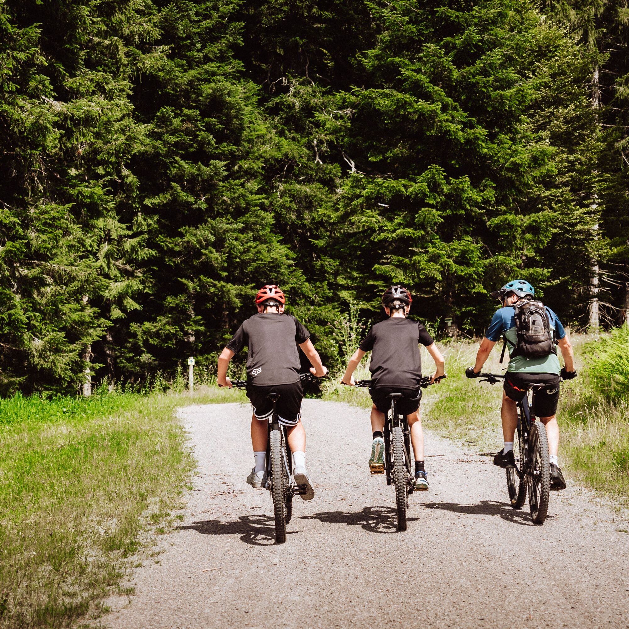
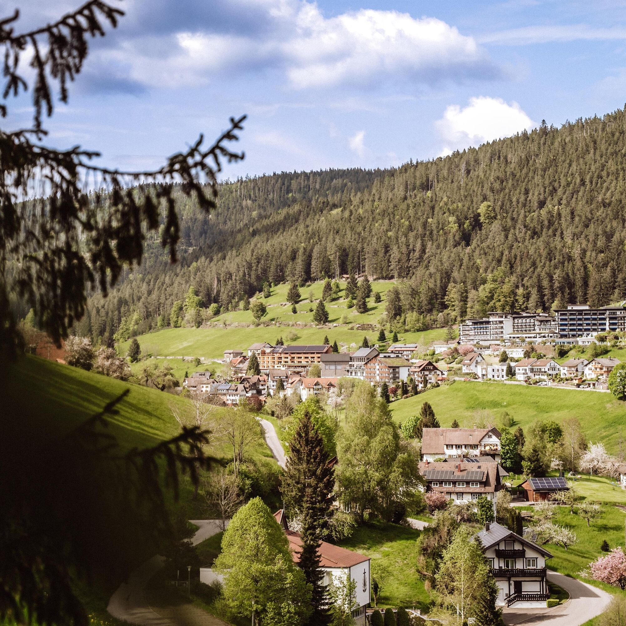
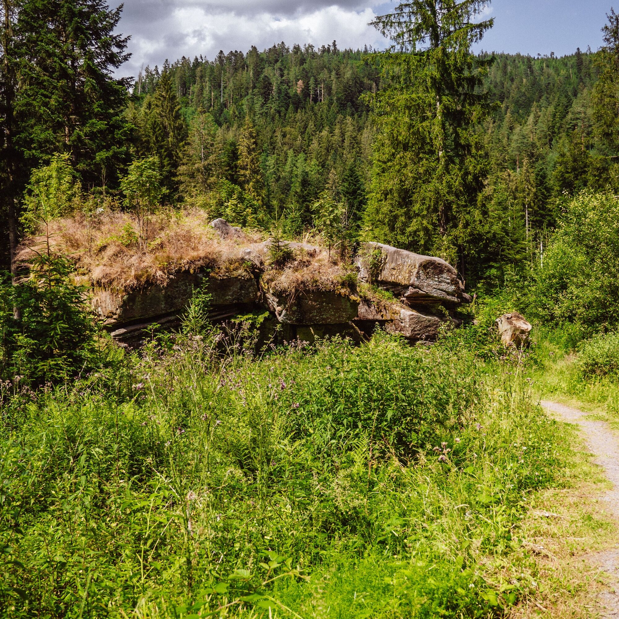
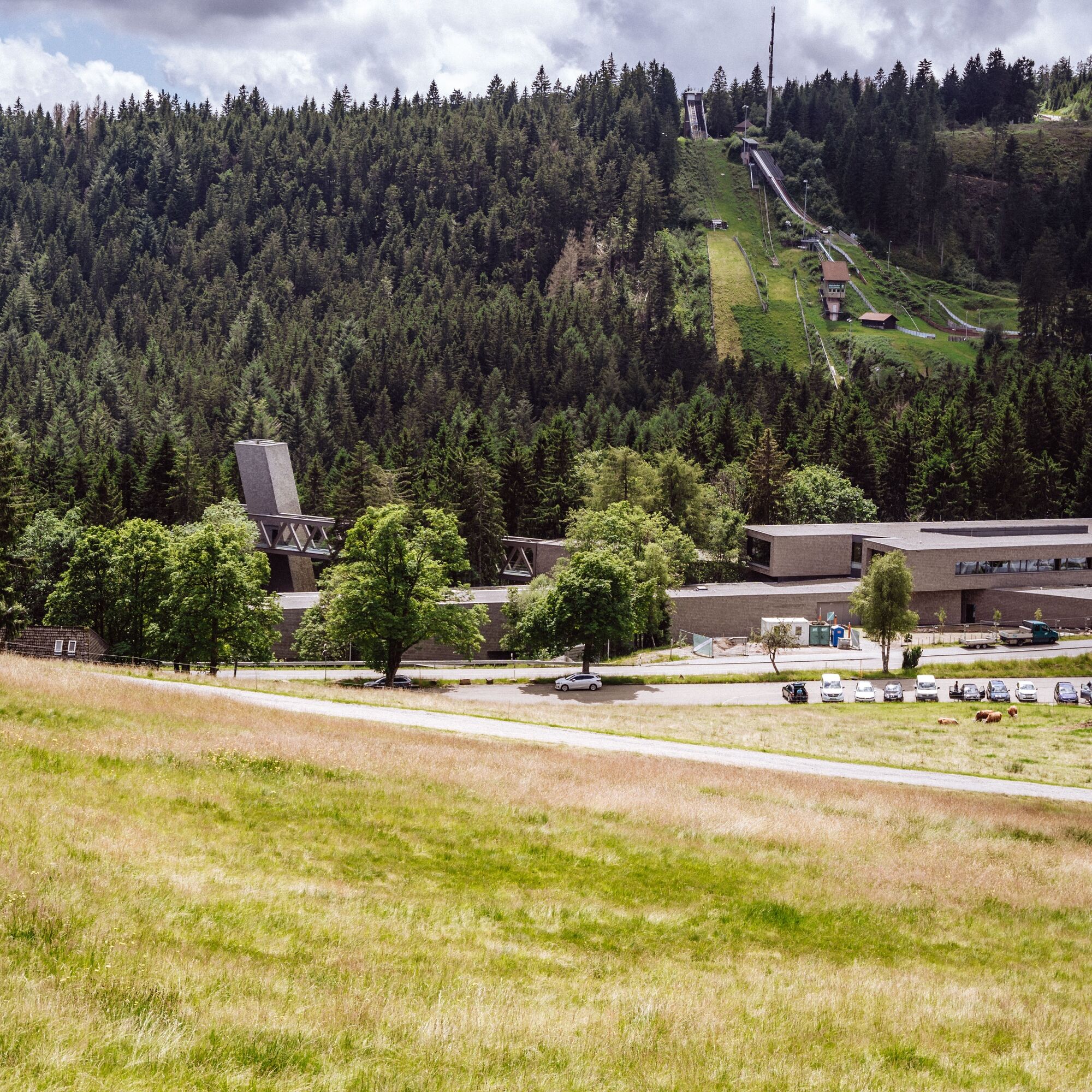
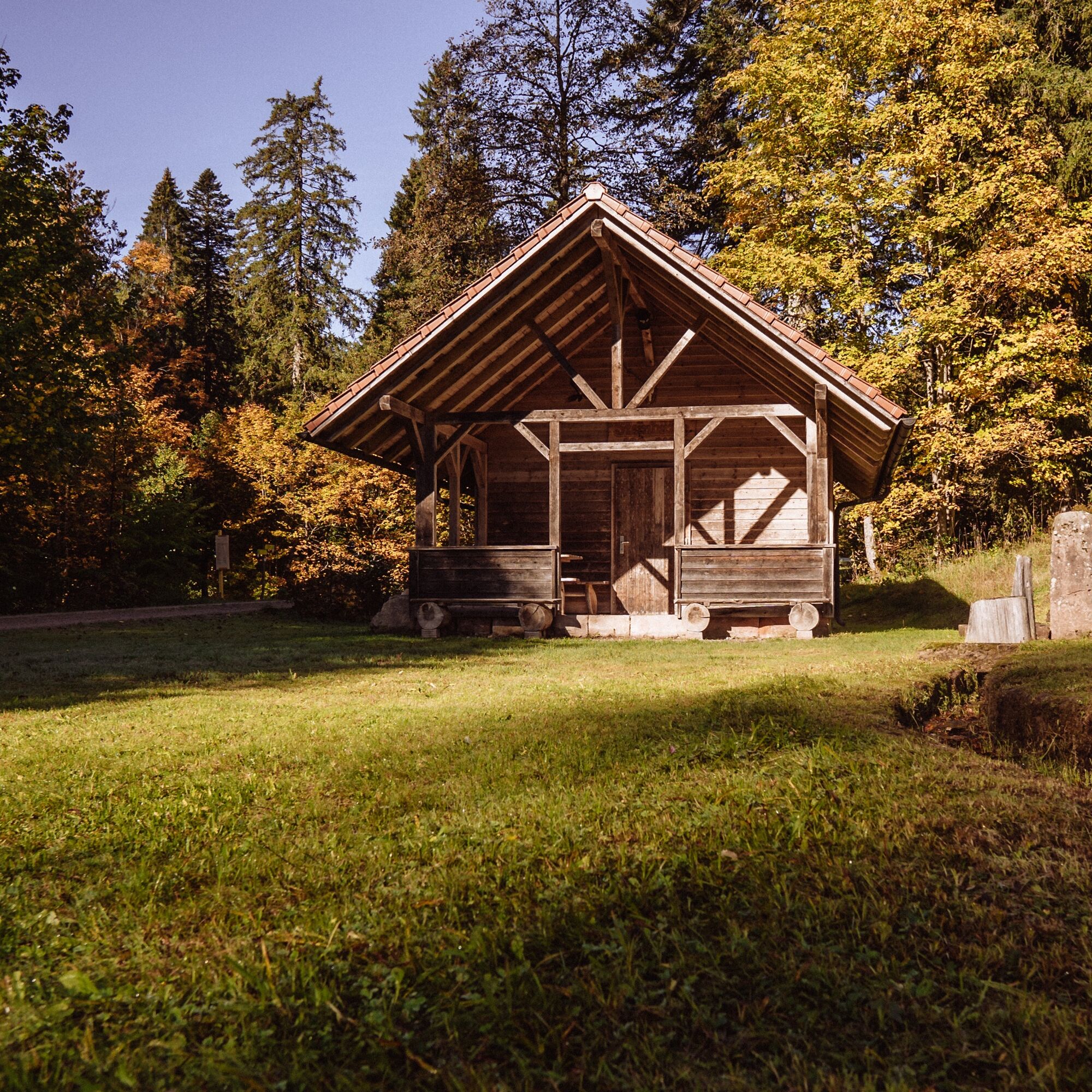

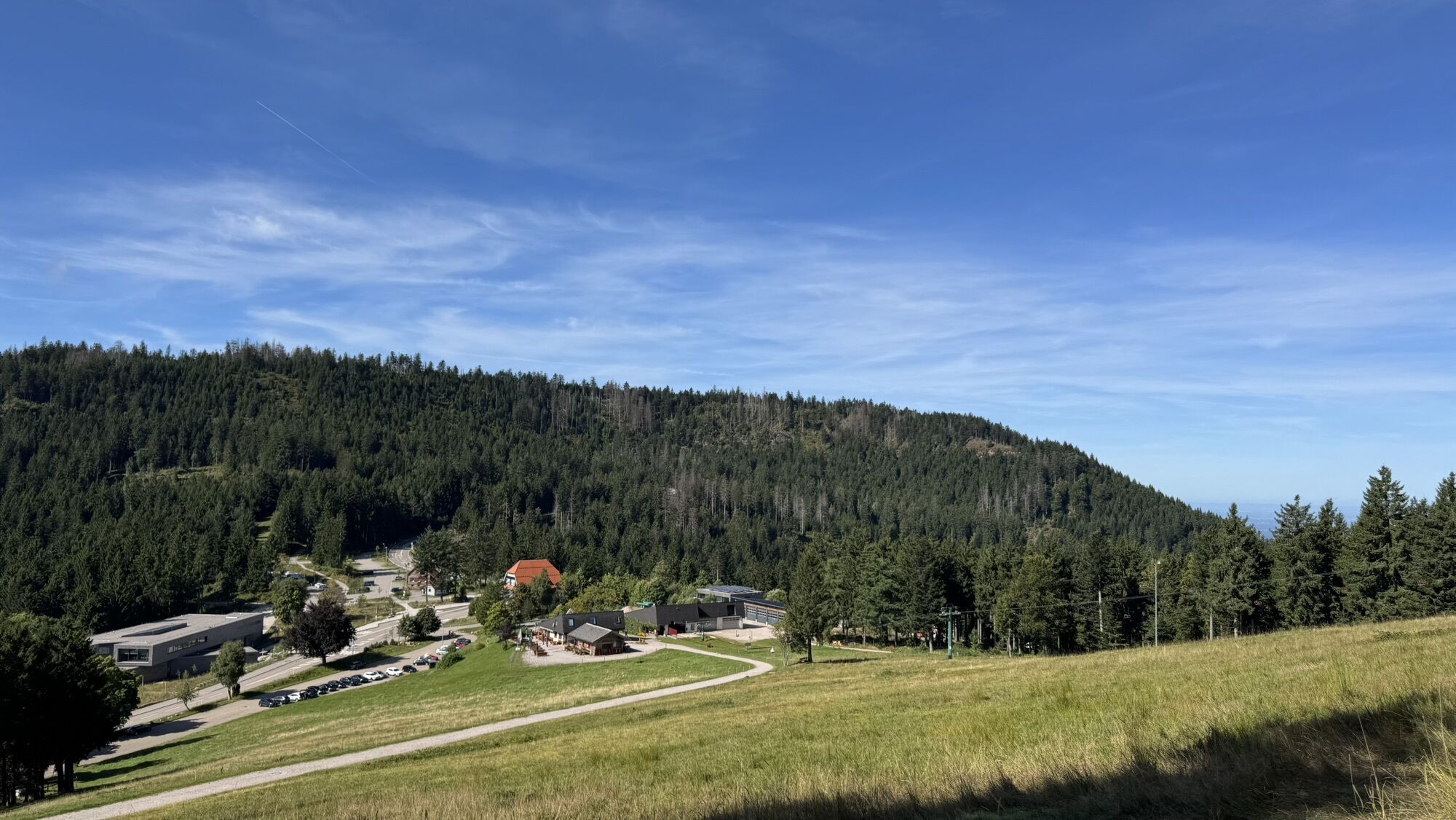
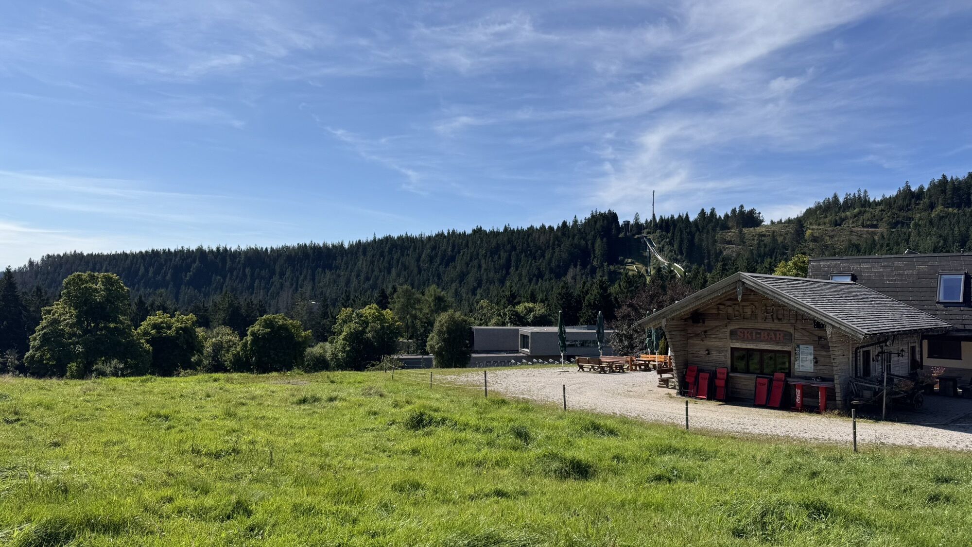
The start is at Rosenplatz in the middle of Baiersbronn. The bike path follows the valley all along, though quite hilly, going through Mitteltal to Obertal. In Mitteltal, we first pass a large playground and then the natural outdoor swimming pool. Behind Obertal, we enter the forest and ride over a short section of natural trail and a small bridge onto the Alte Ruhesteinstraße. We leave this soon again and pedal up continuously on a wide gravel road to the Ruhestein. Here we are now in the Black Forest National Park. Along the way, numerous waterfalls and fountains await us. The Steinhütte offers a nice clearing with a playground and a hidden access to the Rotmurg for a break. The last section up to the Ruhestein demands some fitness again, as there is only a fairly steep natural trail here, which leads us directly to the Ruhestein parking lot.
A break at Ruhestein is also well-deserved; dining options are available. The National Park Center Ruhestein is worth a visit. To the north of Ruhesteinstraße, the route initially goes uphill for a short distance and then winds somewhat uphill but tends to go downhill along the slope towards Neuberg. The track runs entirely on wide gravel roads here. At one point there is a narrow spot due to a landslide, but this can also be easily managed with a bike trailer. Behind Neuberg, the Möhrlesbrunnen awaits us, the source of the Tonbach. From here, the route runs along the Tonbach towards Baiersbronn. Behind the Wiesenhütte, you should keep an eye to the right to not miss the original charcoal kiln. At Pudelstein, climbing skills are required. After crossing Tonbachstraße at Tonbachwiesenweg, there is another narrow footpath, which can also be easily bypassed on Tonbachstraße. In the lower Tonbach valley, the route runs briefly along Tonbachstraße again, then back on side roads and cycle paths to Rosenplatz.
Shortcut: There are no signposted shortcut options, but variants for families are available, see from page 58 in our MTB guide.
Ano
E-mountain bike: Very well suited.
Please check in advance the current trail closures or at the Baiersbronn hiking information center to see if the route is open. Tel.: +49 7442 8414-66.
In the national park area, there are seasonal trail closures especially in the wildlife protection areas during winter. In particularly sensitive areas, these may continue beyond winter. In case of a closure, a detour is signposted.
Children:
Variant for children from about 6 years: park at Ruhestein and then go downhill through Mitteltal to Baiersbronn. Tour data see T4 from page 60 in our MTB guide. It is almost entirely downhill and the route runs completely on forest paths, quiet side streets or cycle paths. Mom or Dad ride back via Tonbach to fetch the car.
Variant for children from about 8 years: park at Ruhestein and then go mostly downhill via Tonbach to Baiersbronn. This route is more forested and especially towards the end in the Tonbach valley more eventful. Tour data see above, some altitude meters need to be mastered. Mom or Dad ride back via Mitteltal to fetch the car.
If you ride the complete tour with older children, the direction against the clockwise is recommended, finishing with a visit to the natural outdoor pool in Mitteltal.
Baiersbronn train station, from there follow the mountain bike signs towards Rosenplatz (800 m).
No train arrival possible at Ruhestein.
Parking garage at Rosenplatz (paid), Rosenplatz, 72270 Baiersbronn Parking at the outdoor pool (free, approx. 250 m to the starting point), Wilhelm-Münster-Straße 26, 72270 Baiersbronn
Parking lot at Ruhestein (free), Schwarzwaldhochstraße 2, 77889 Seebach
Tips for this route:
Everything about biking in BaiersbronnDining options:
various options in Mitteltal Obertal at Ruhestein in Tonbach valley as well as at the end of the route in BaiersbronnBeautiful clearing with playground at the Steinhütte
Möhrleshütte with Möhrlesbrunnen
Rest at the idyllic Pudelstein
Tonbach wildlife enclosure
Získejte přehled
Vždy živě na místě s více než 9 500 webkamerami. bergfex Jako uživatel Pro si nyní můžete zobrazit odpovídající webové kamery pro mnoho prohlídek v aplikaci prohlídky z. Můžete si tak přímo prohlédnout aktuální podmínky.
Oblíbené prohlídky v okolí
-
4.7
Kniebiser Heimatpfad - Wandern mit Genuss
světloTuristika 9.07 km -
5.0
Ottenhöfen - Eichkopf - Karlsruher Grat
středníTuristika 13.7 km -
3.9
Schnapsbrunnenweg 2
středníTuristika 12.8 km -
4.0
Sankenbachwasserfälle und Glasmännlehütte am Stöckerkopf
středníTuristika 12.8 km -
5.0
Naturgewalten-Tour
Turistika 15.6 km -
5.0
Bannwald-Tour
Turistika 13.3 km -
4.8
Bad Peterstal-Griesbach - Himmelssteig für "Höhenverliebte"
heavyTuristika 10.3 km -
4.5
Bad Rippoldsau - Cafe & Restaurant Zum Schlüssel - Klösterle - Burgbachwasserfall
středníTuristika 11.2 km -
4.7
premium hiking trail Enzquellenpfad
středníTuristika 19.9 km -
5.0
Kniebis-Sankenbachwasserfälle-Sankenbachsee
středníTuristika 7.98 km
Pěší turistika a stopování


Nenechte si ujít nabídky a inspiraci pro vaši příští dovolenou
Vaše e-mailová adresa byl přidán do poštovního seznamu.





