







Elevation route around and onto the Hornisgrinde

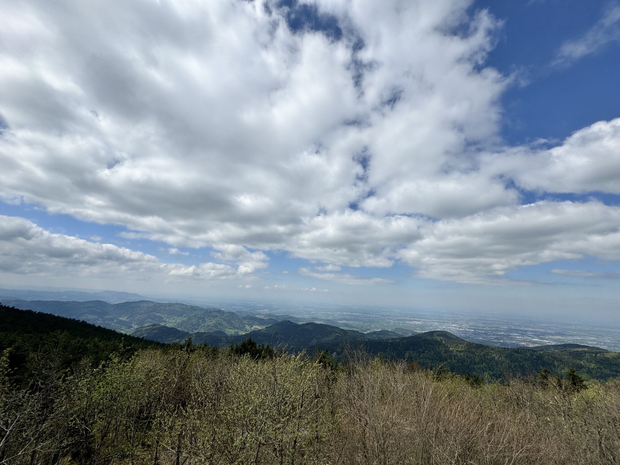
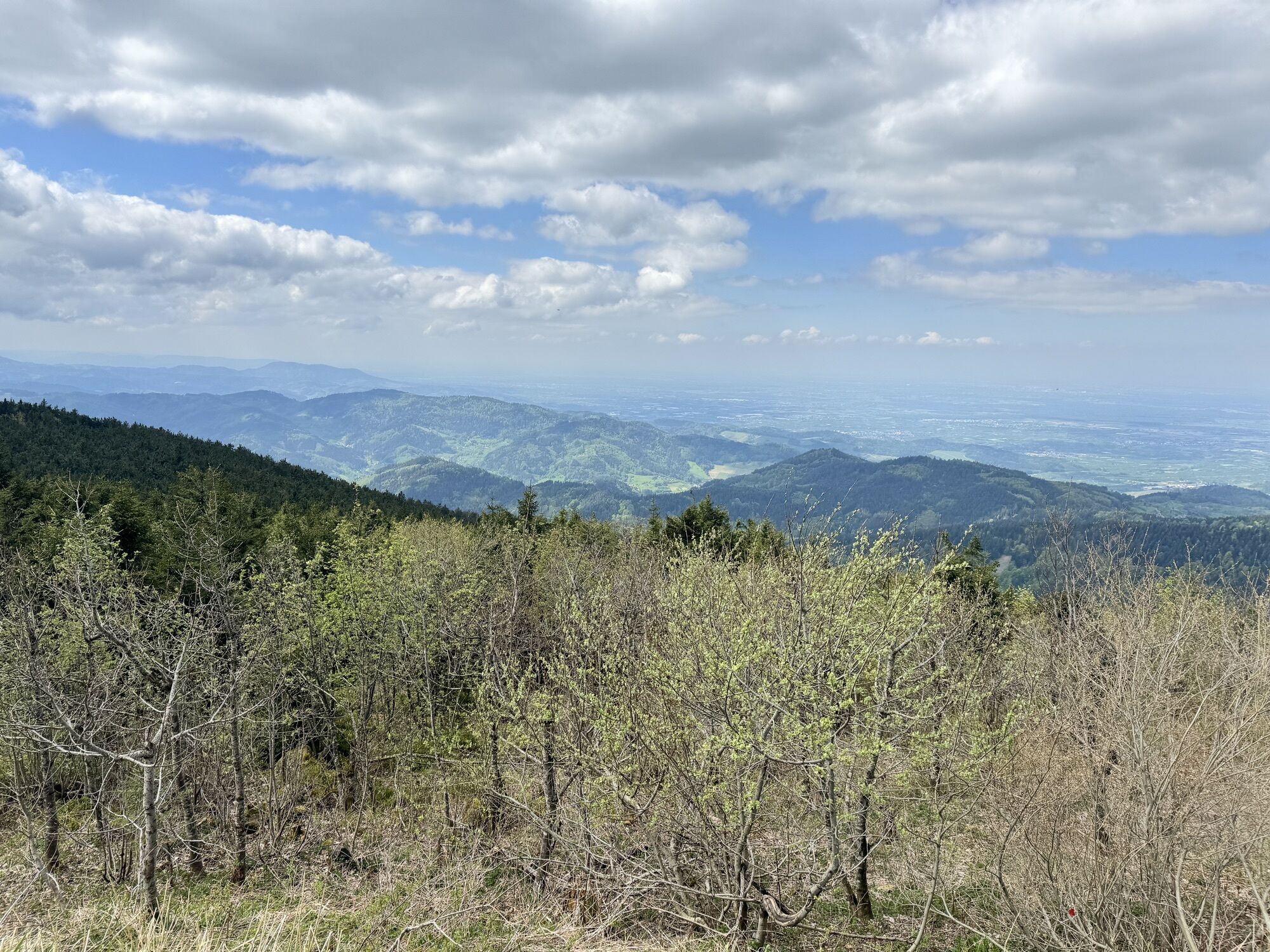
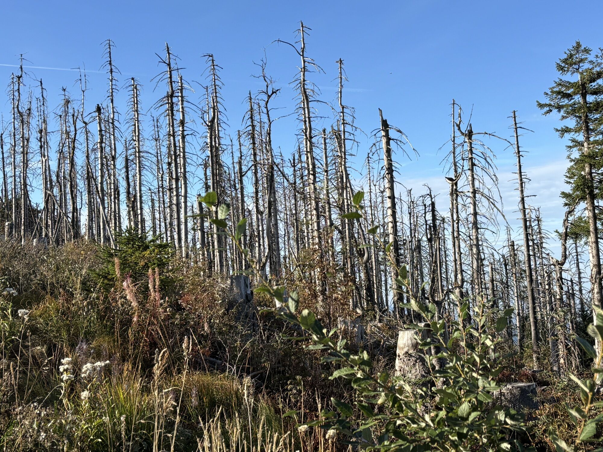
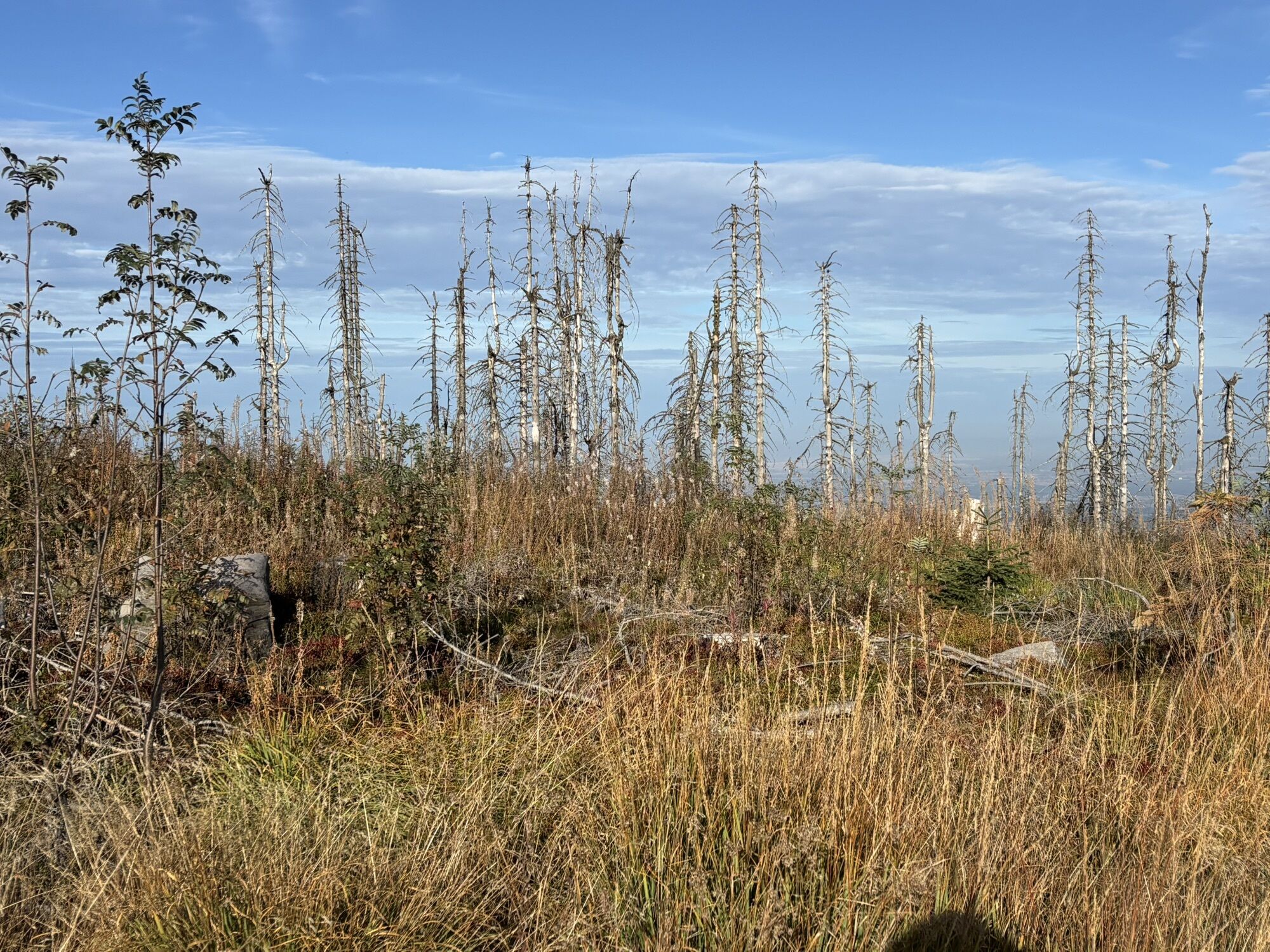
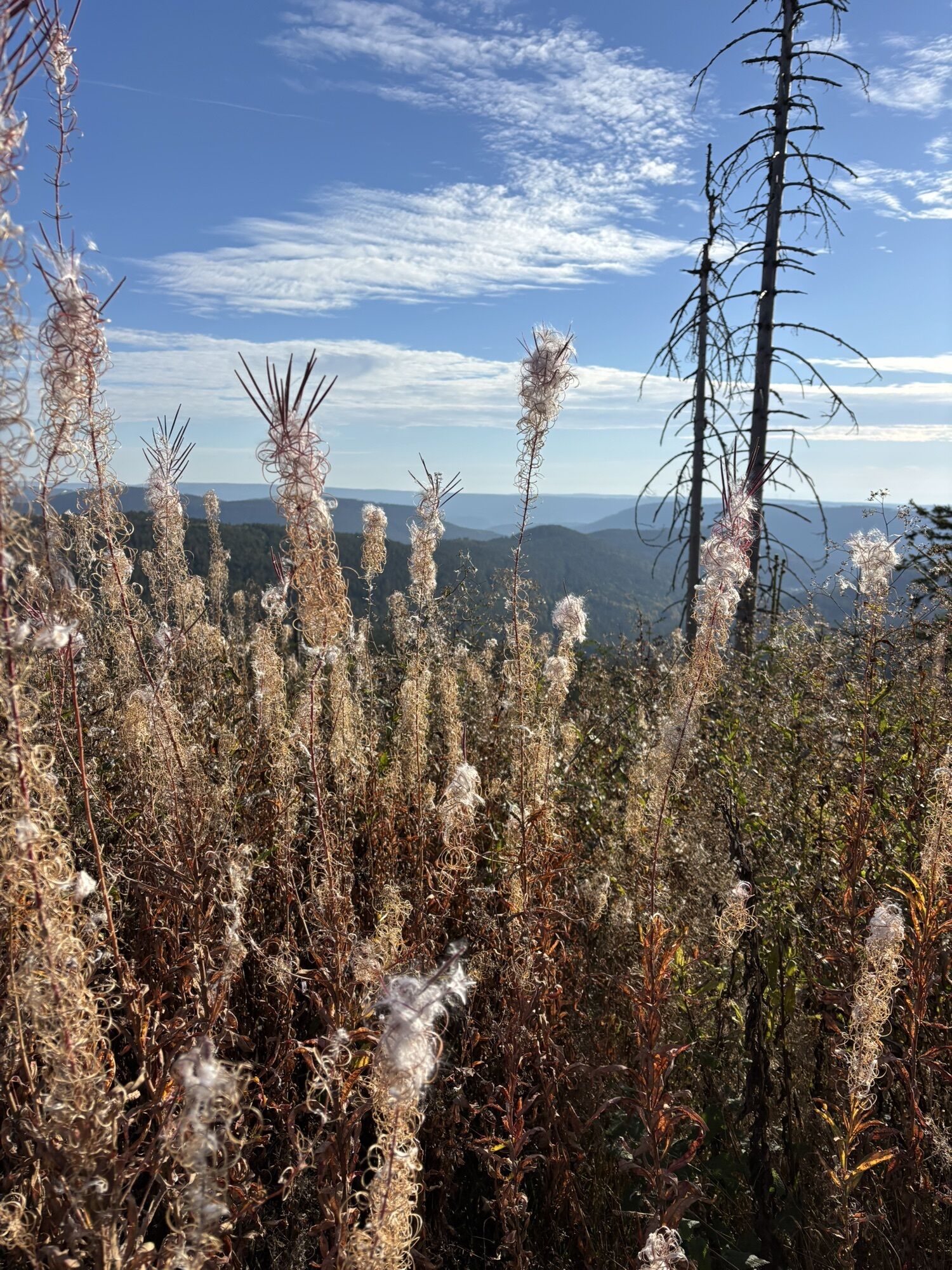
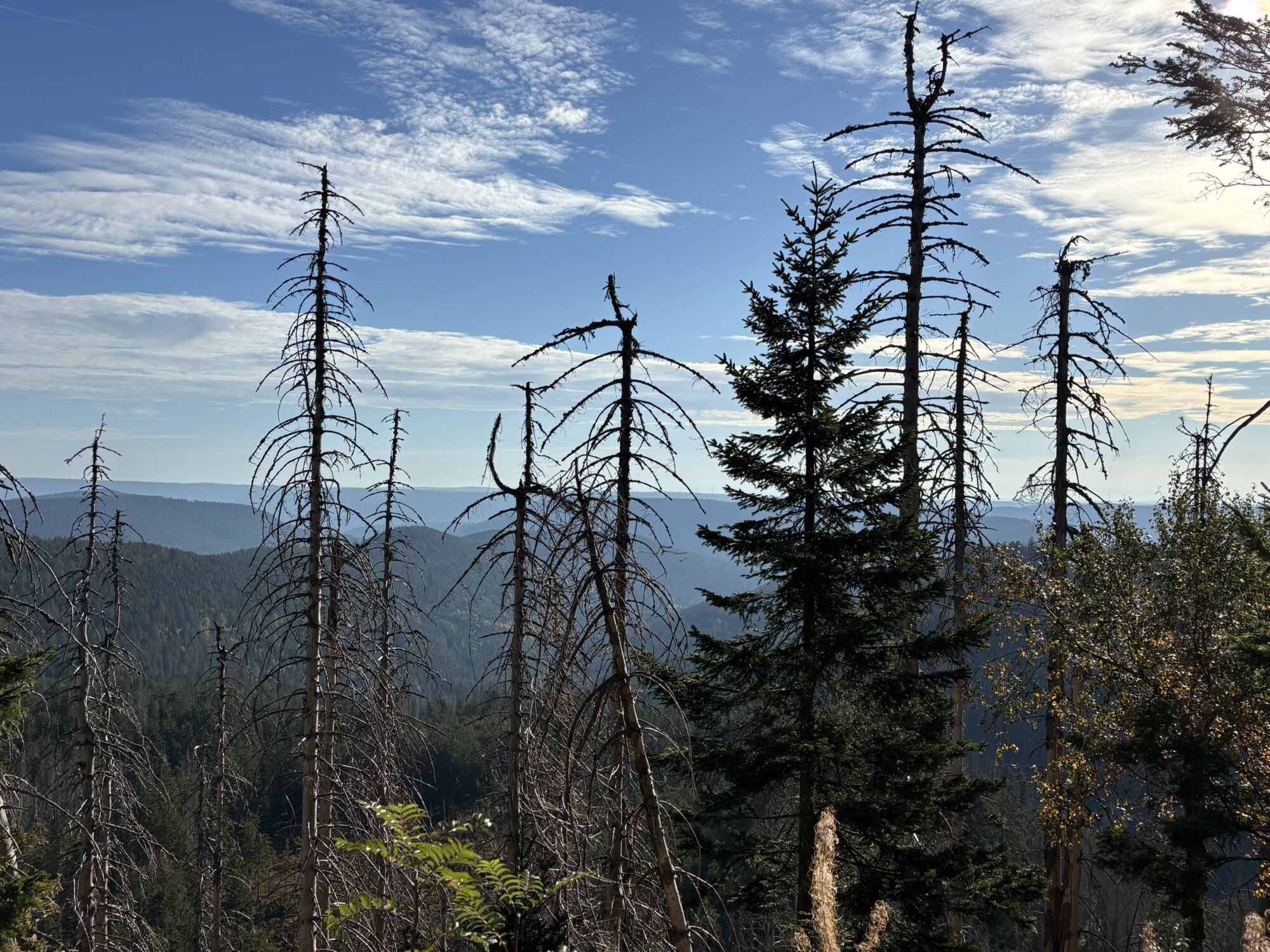
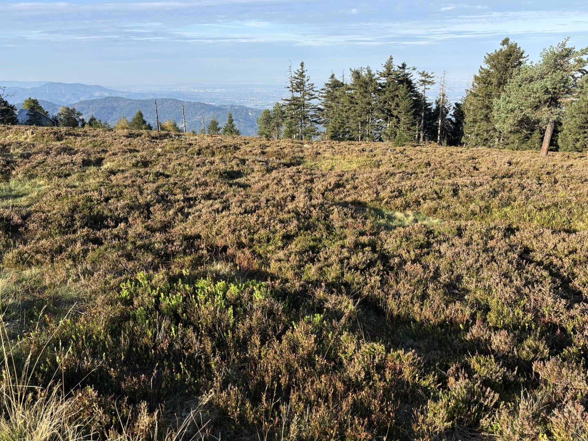
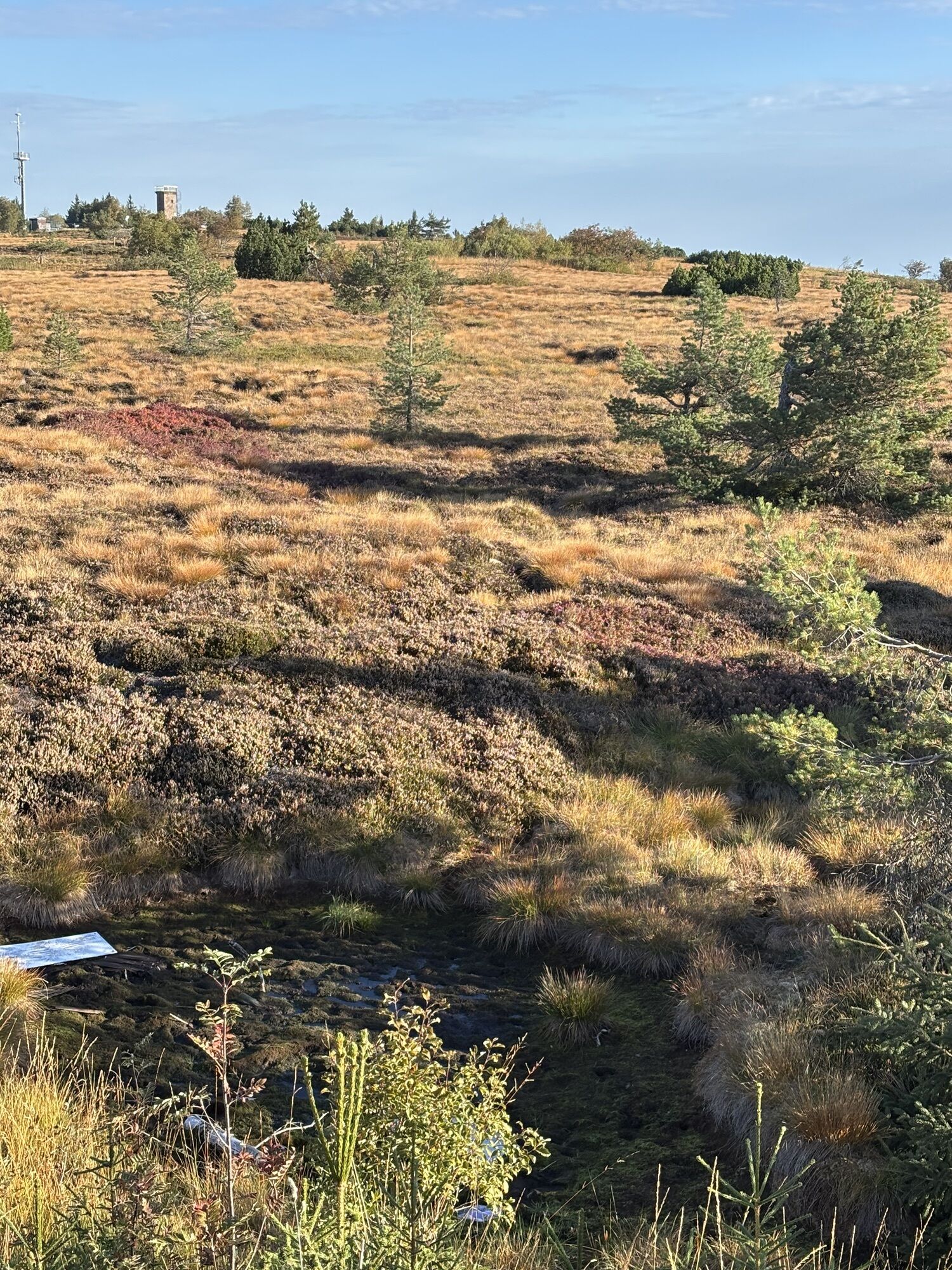
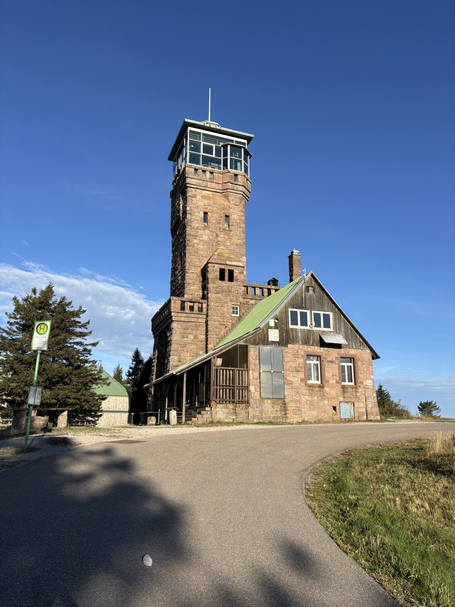
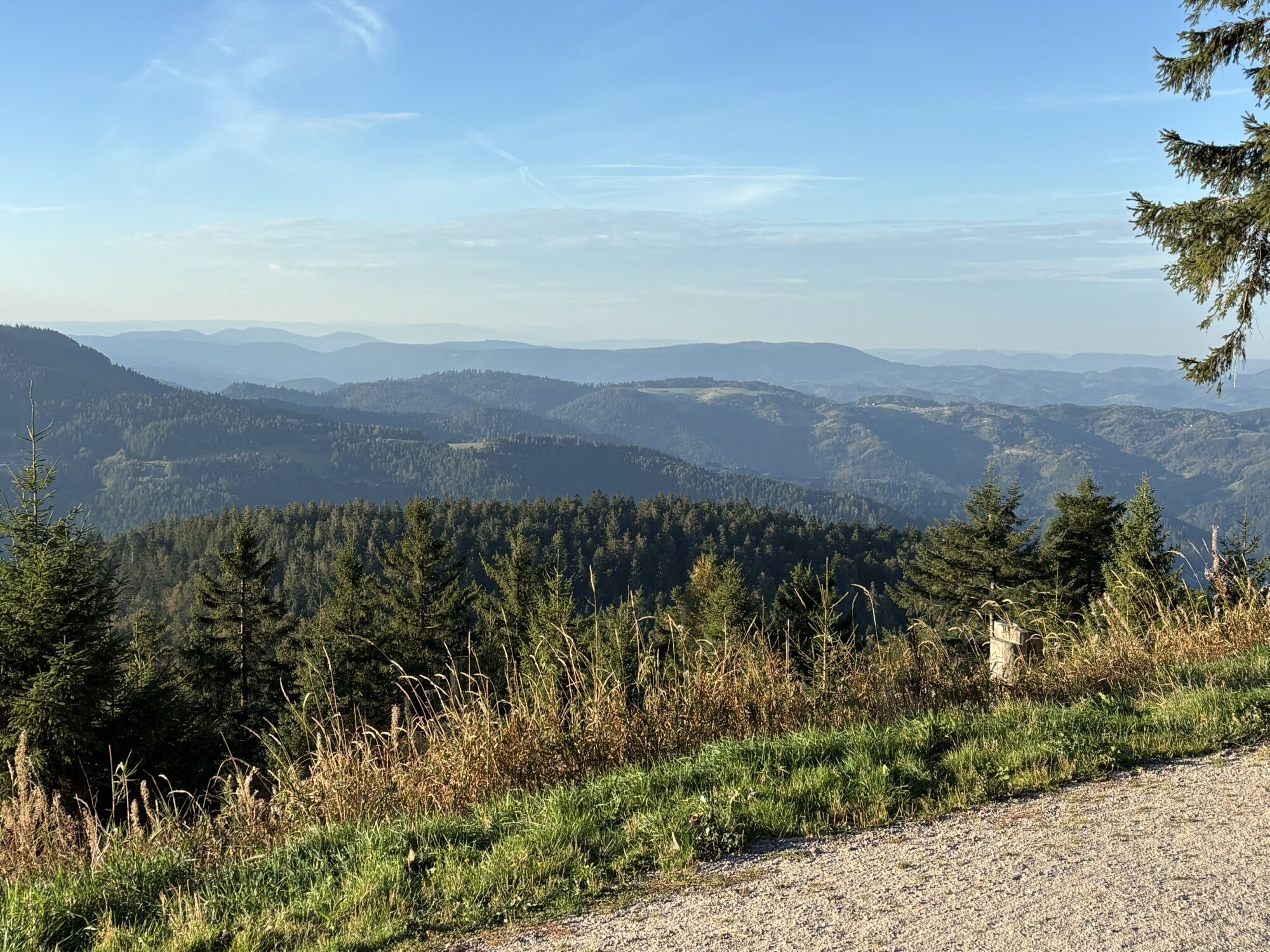
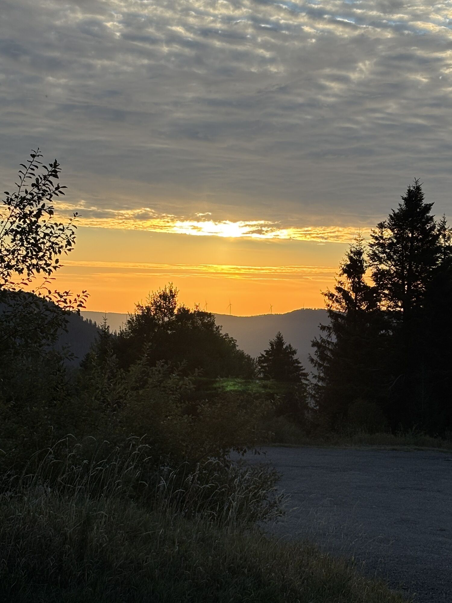
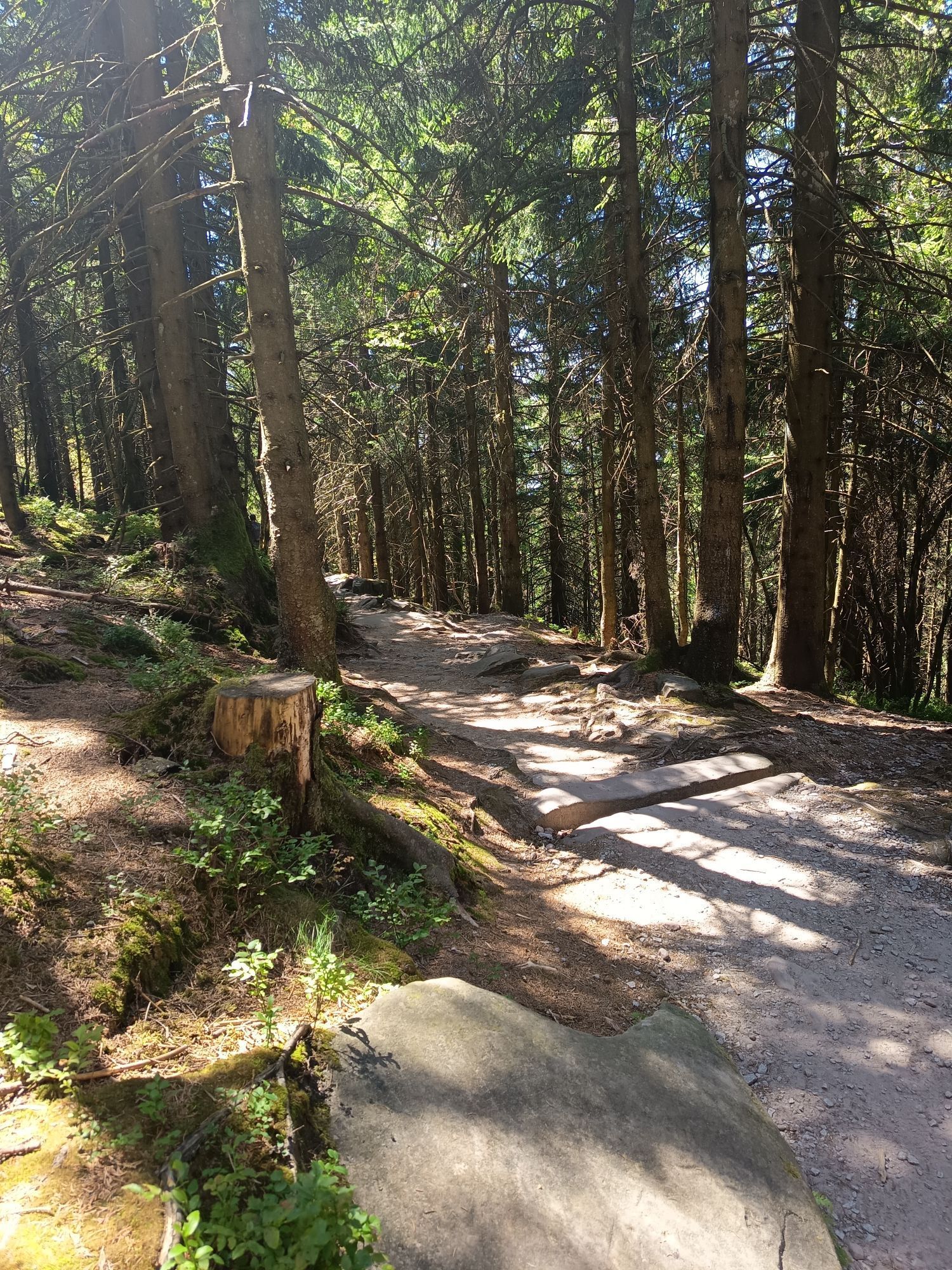
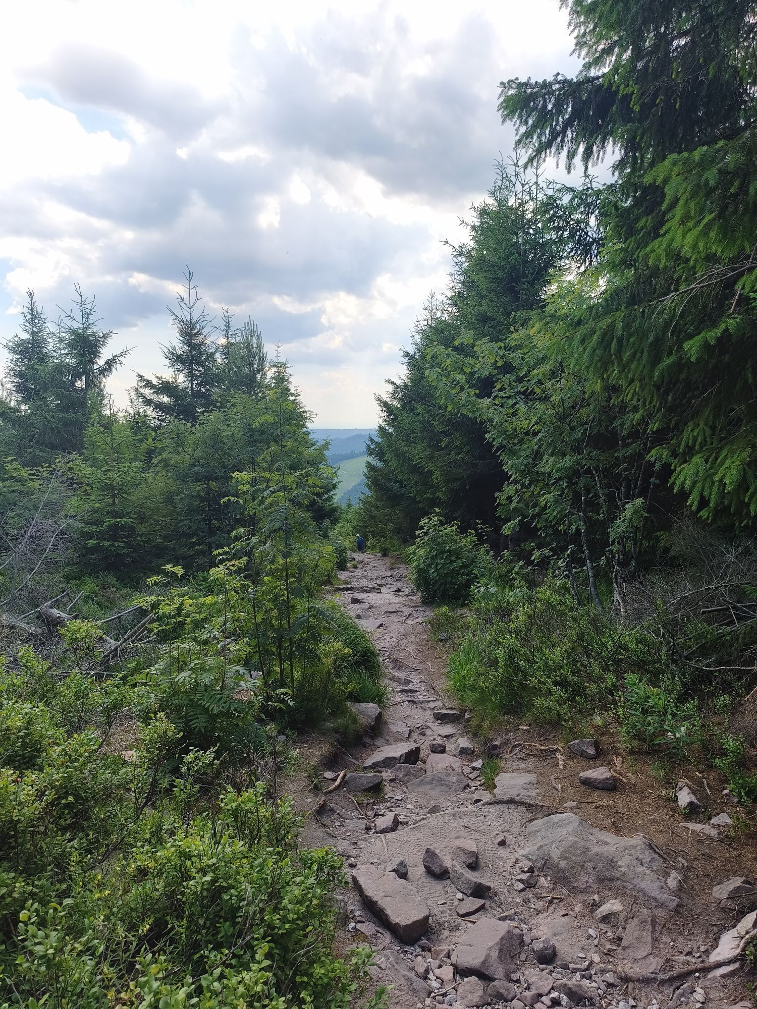
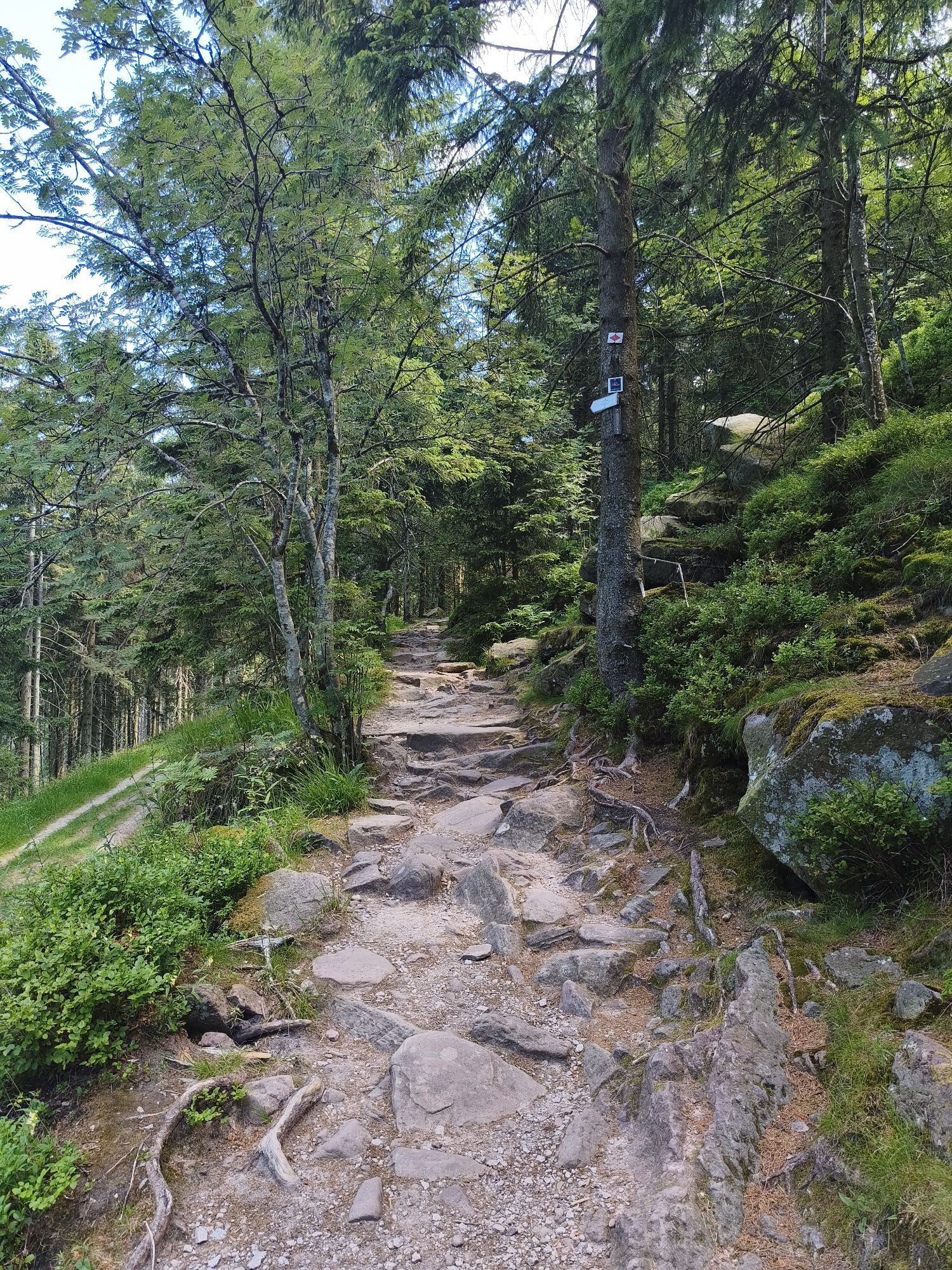
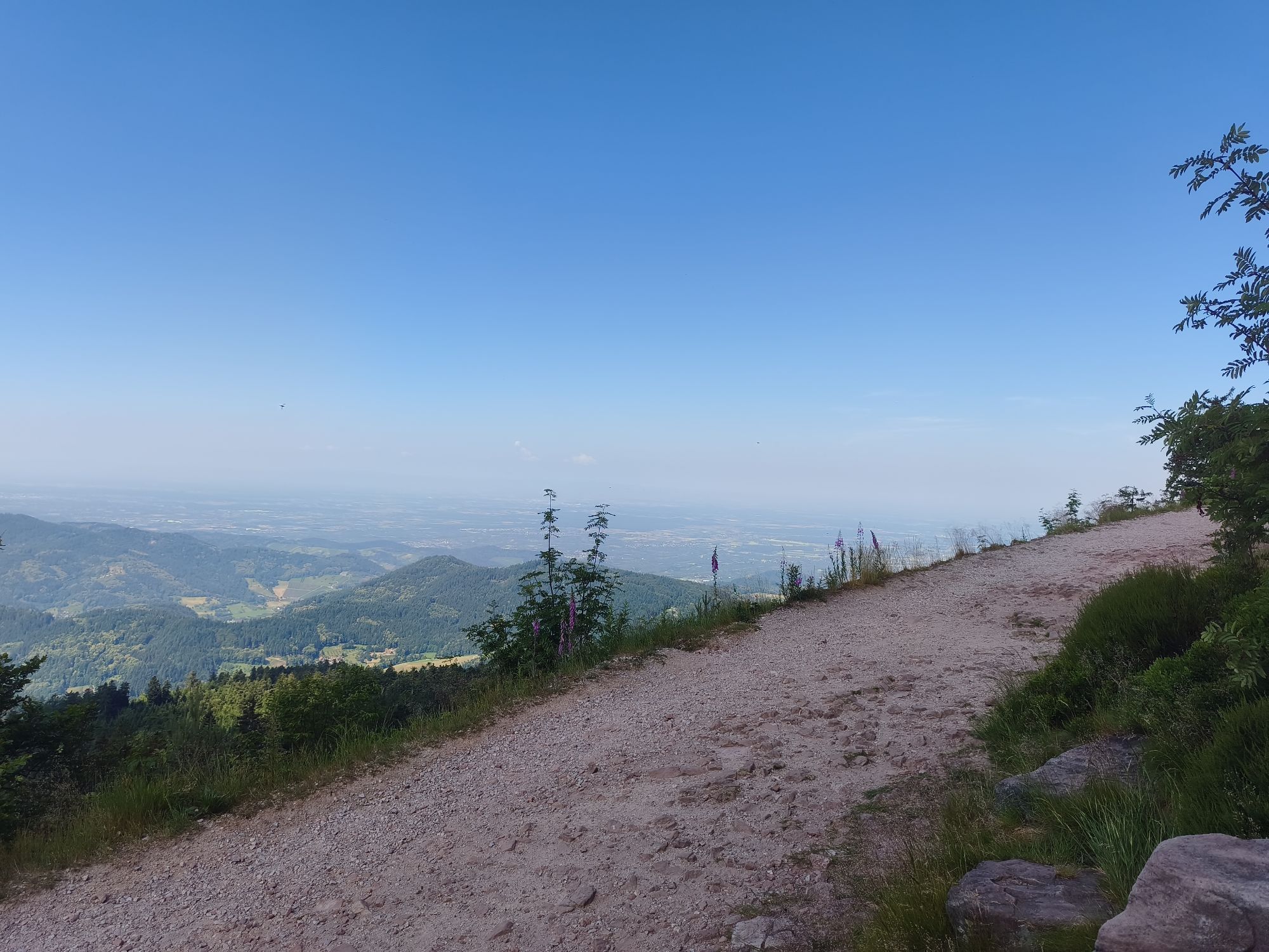
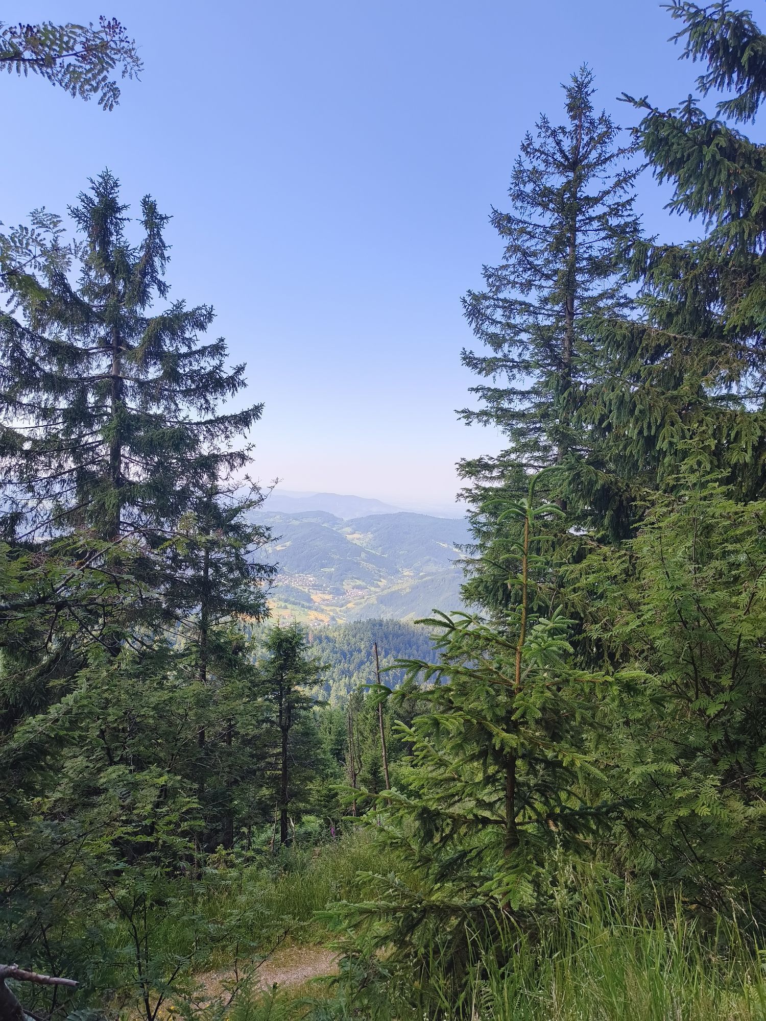
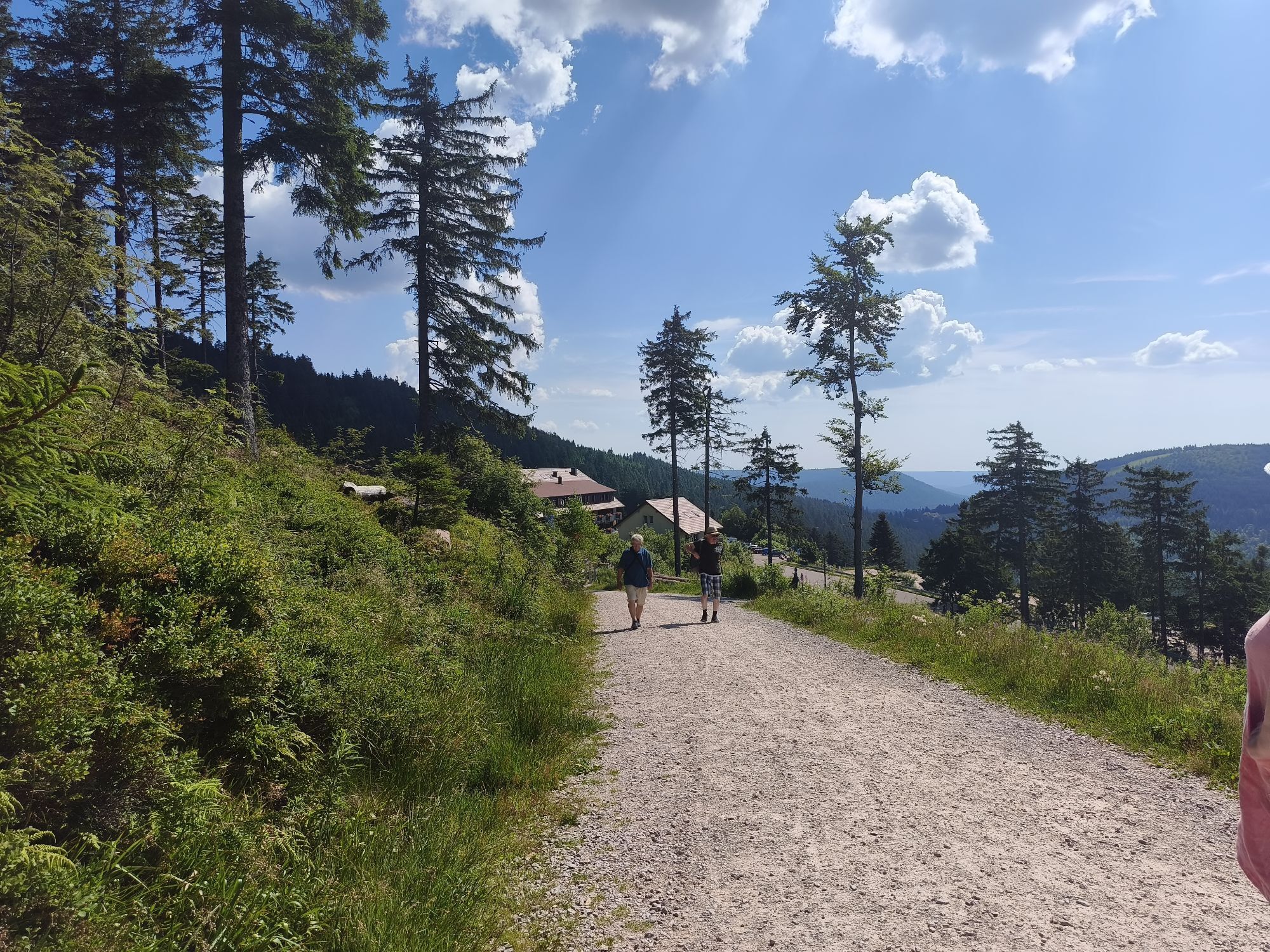
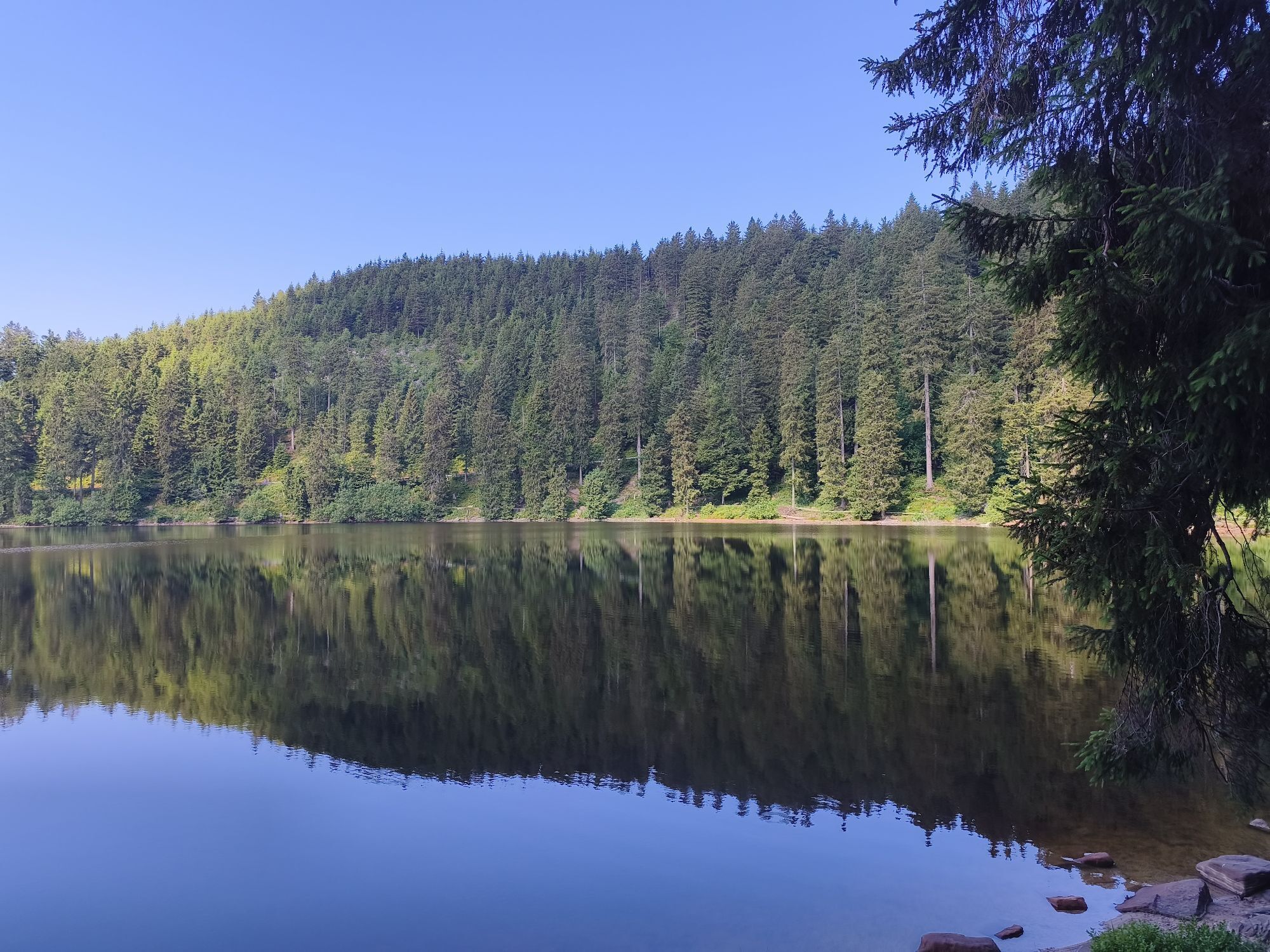
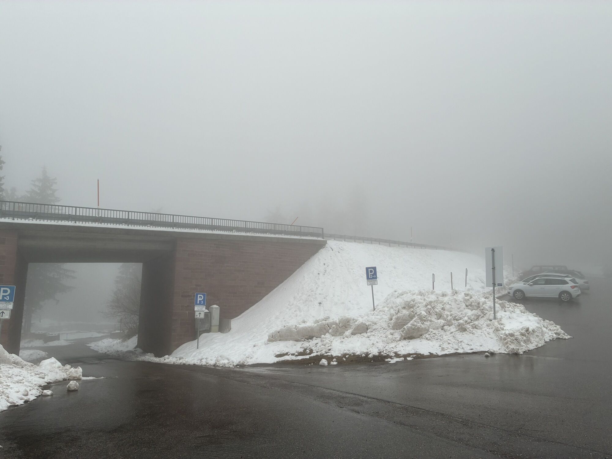
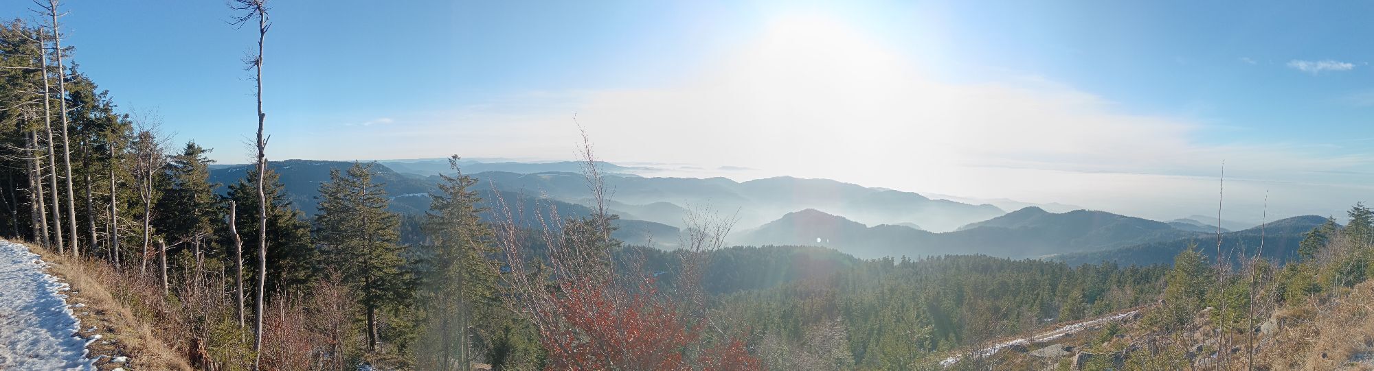
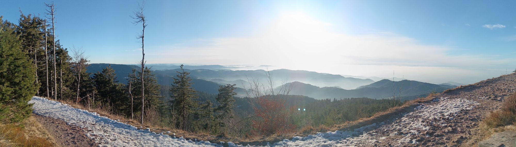
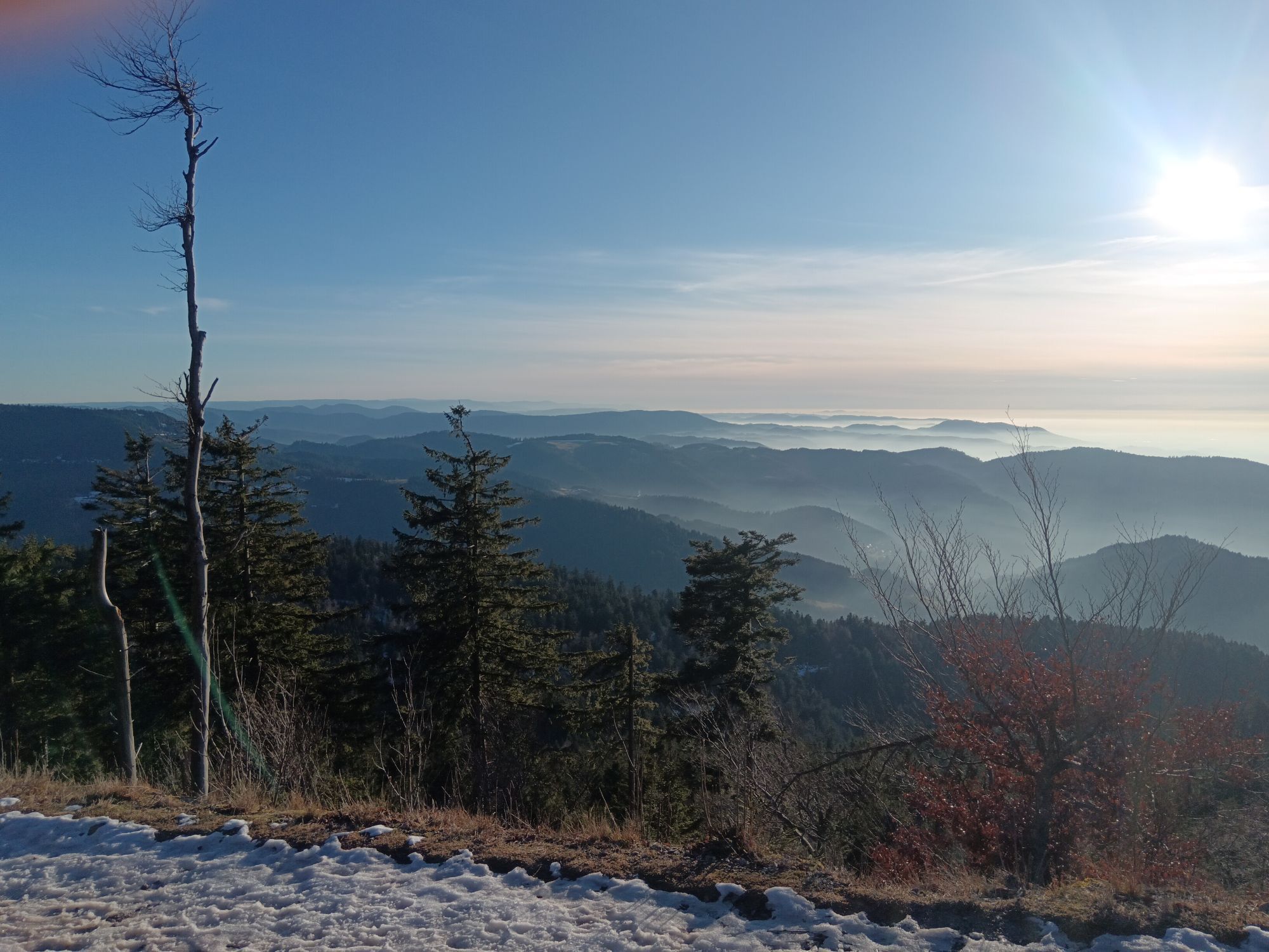
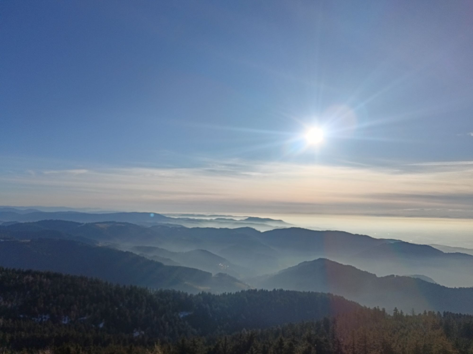
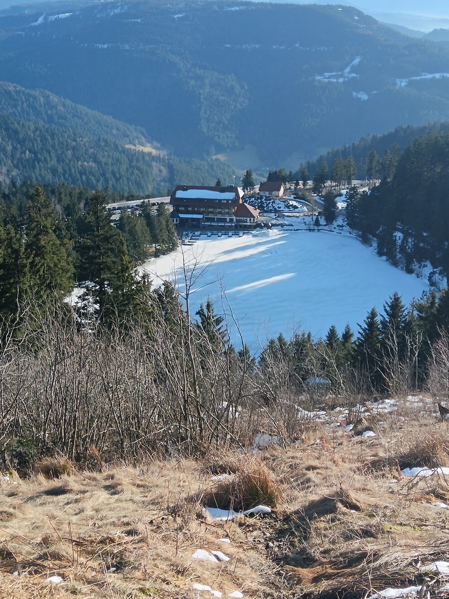
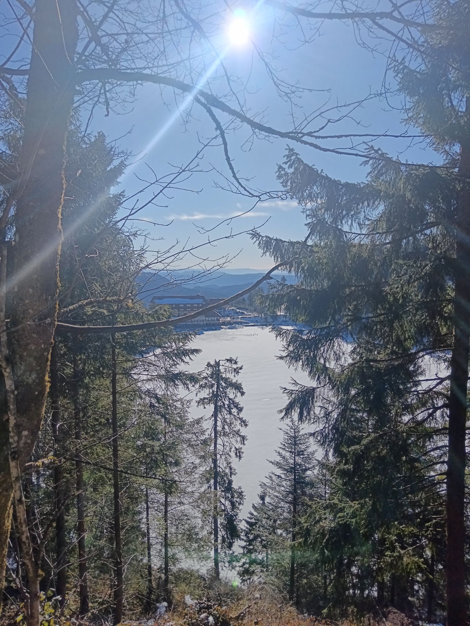
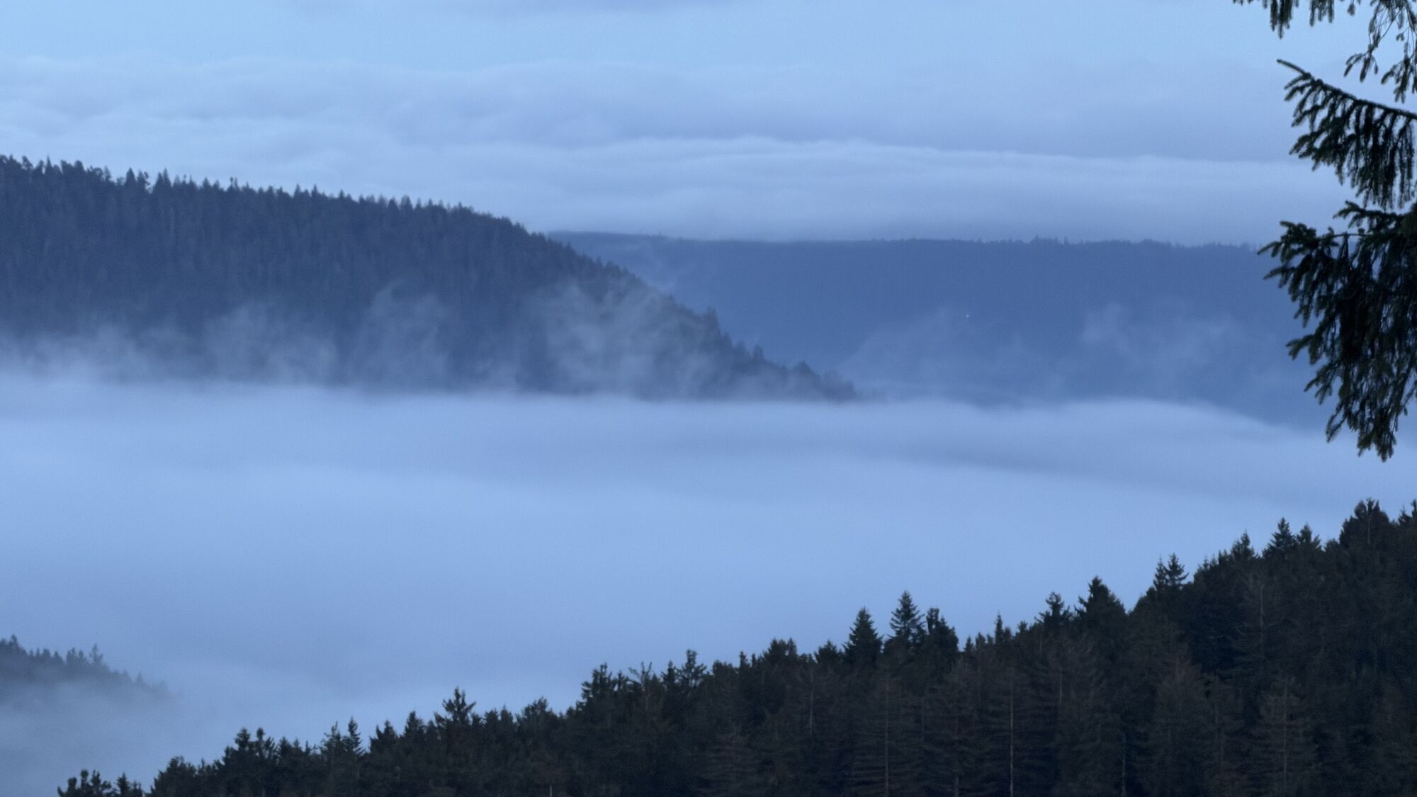
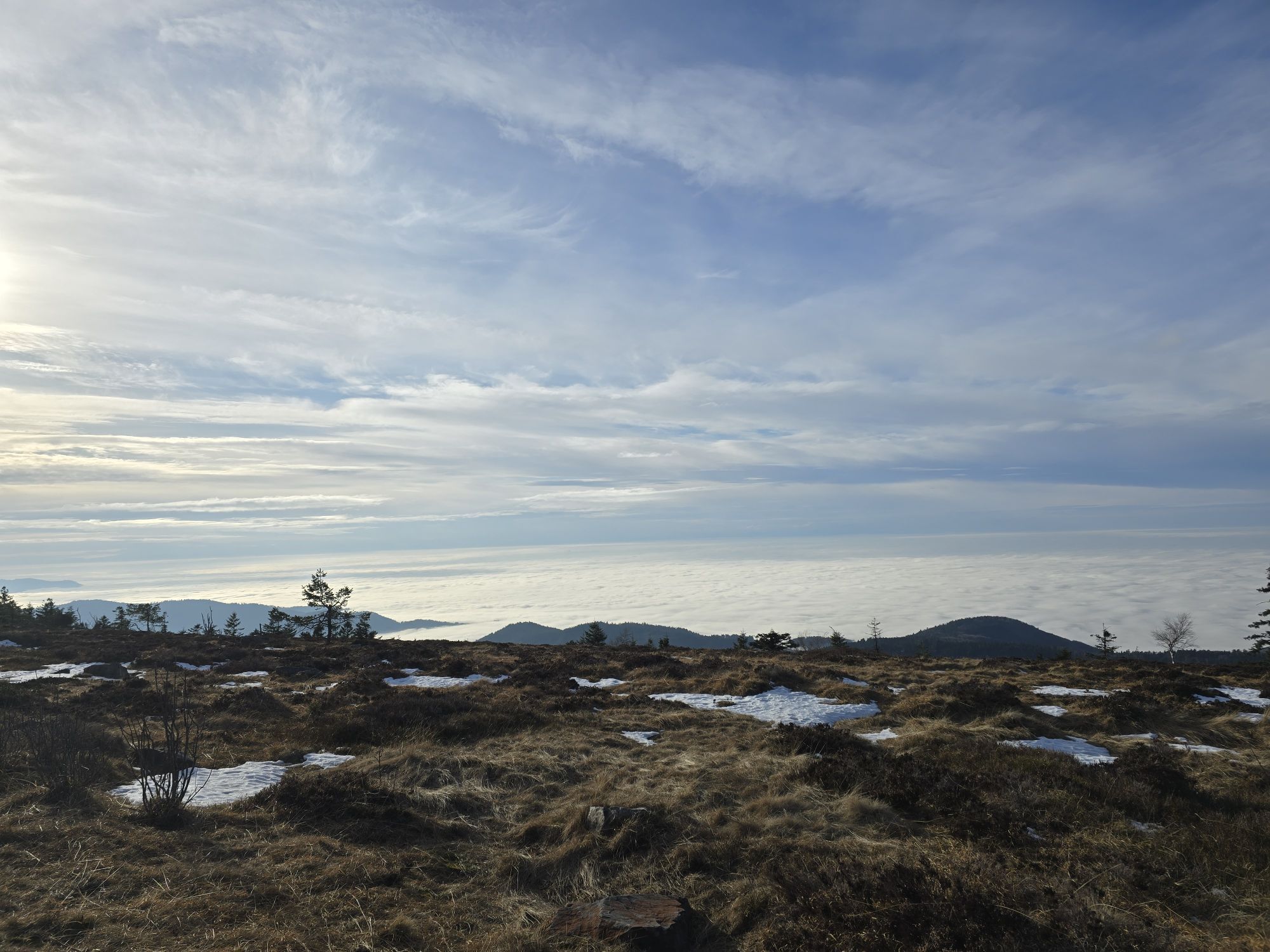
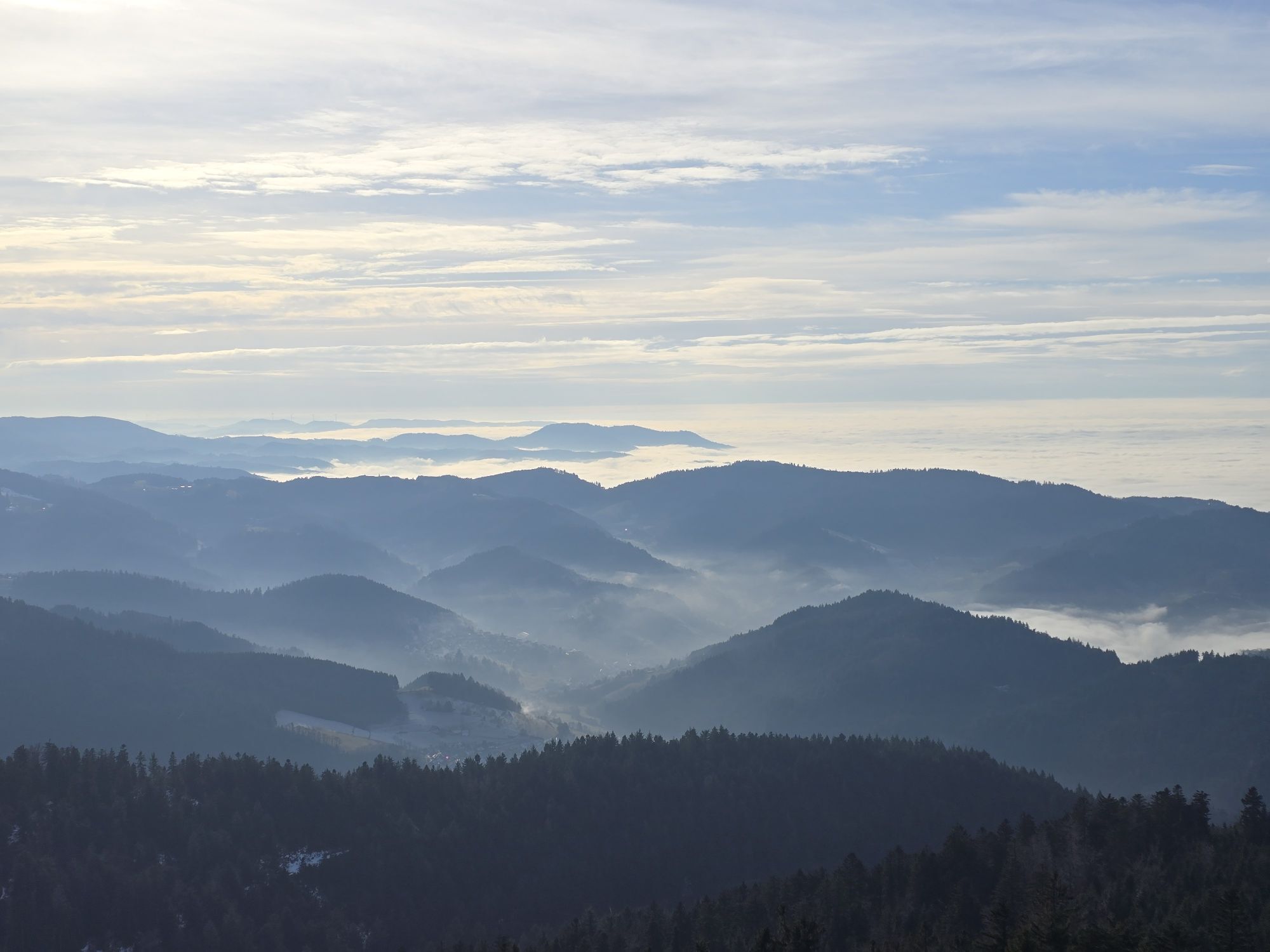
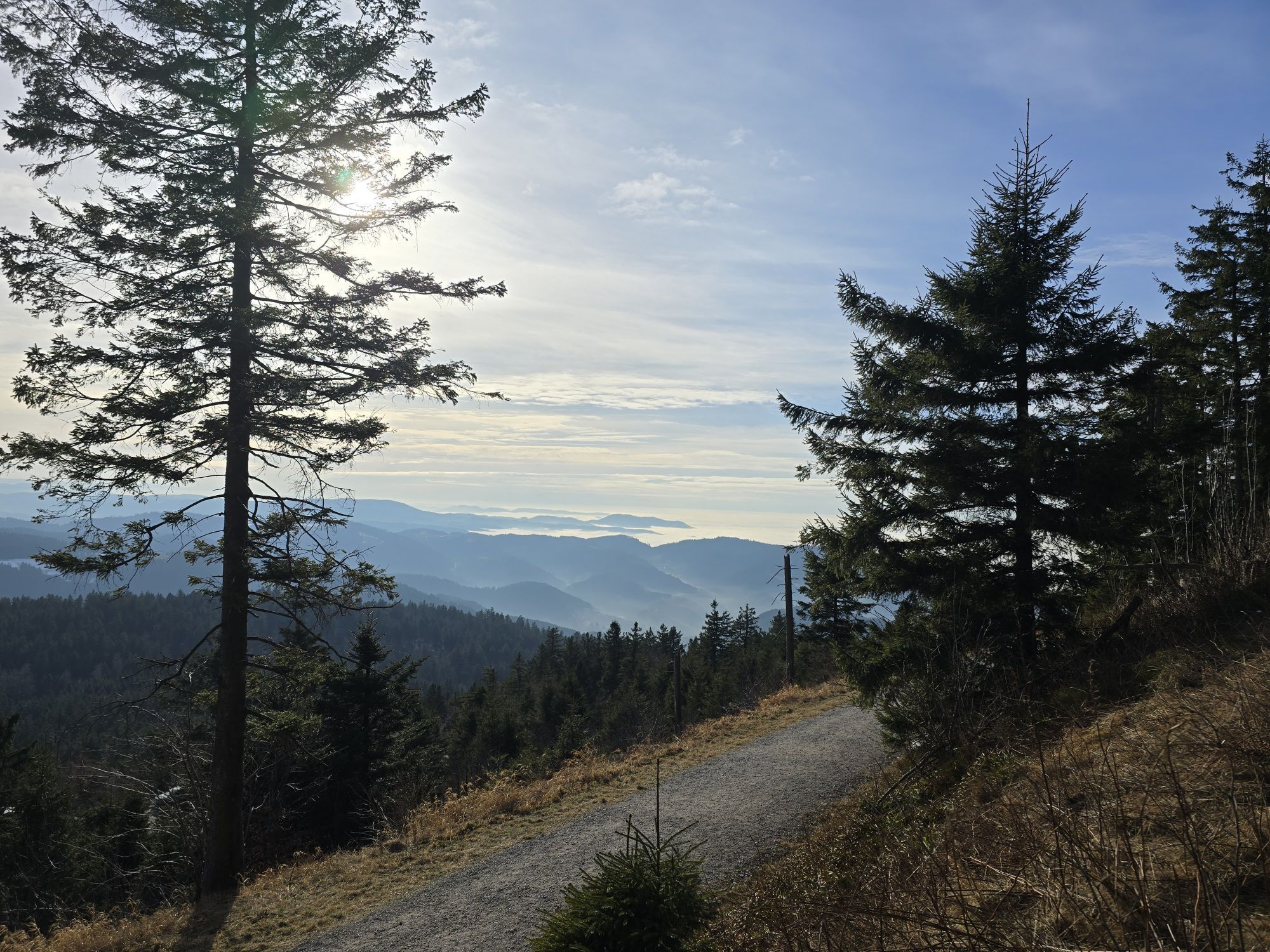
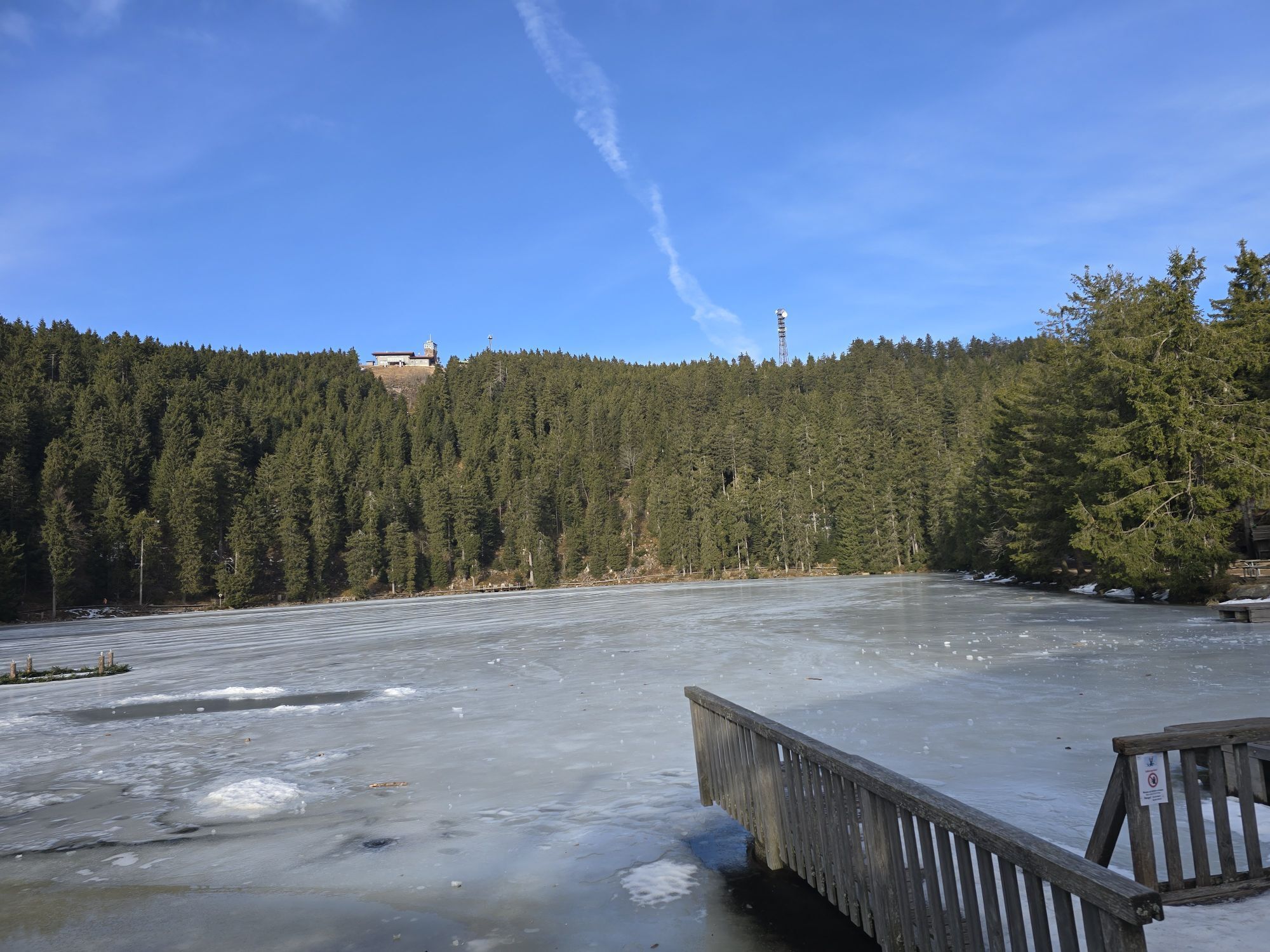
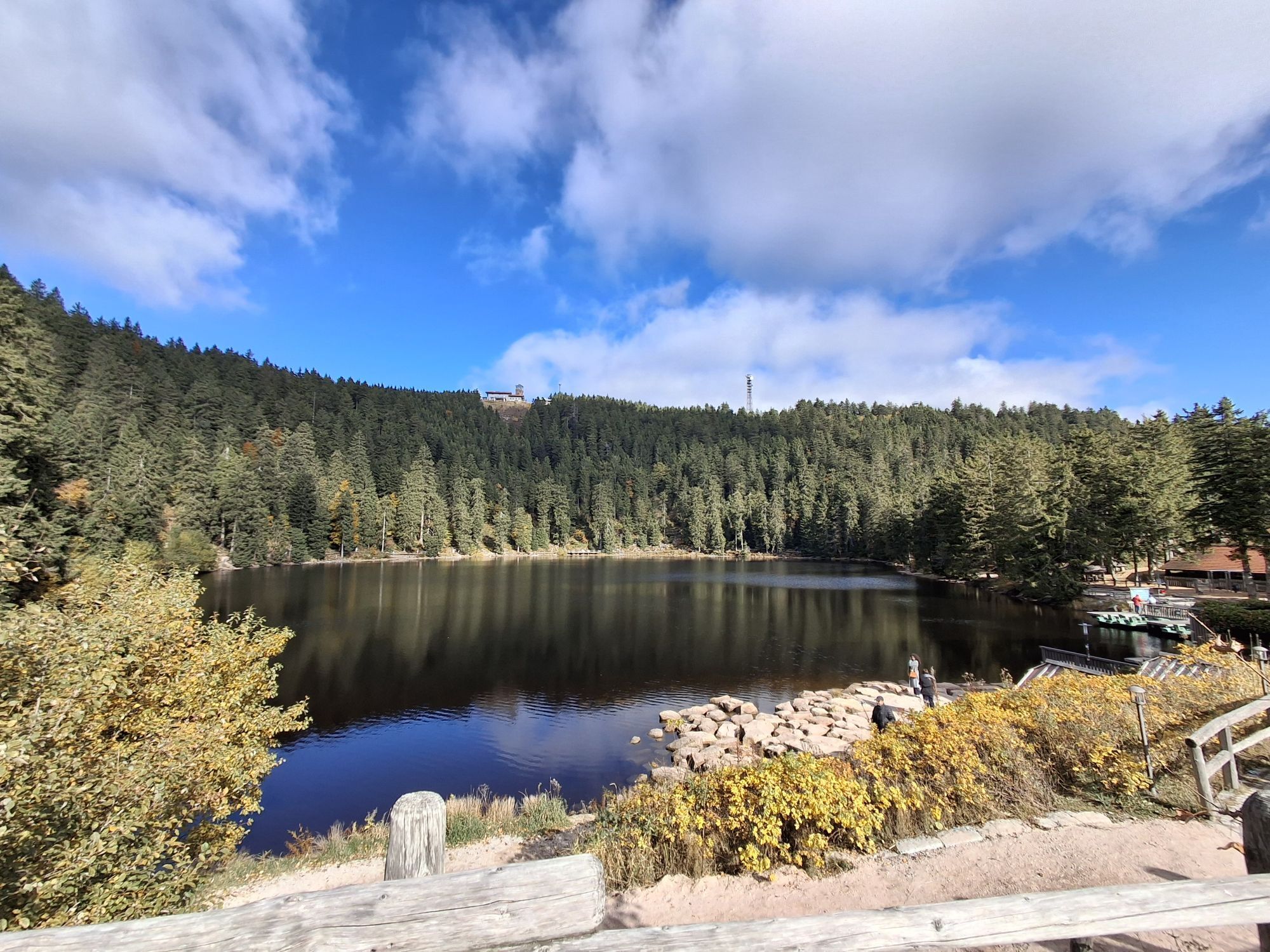
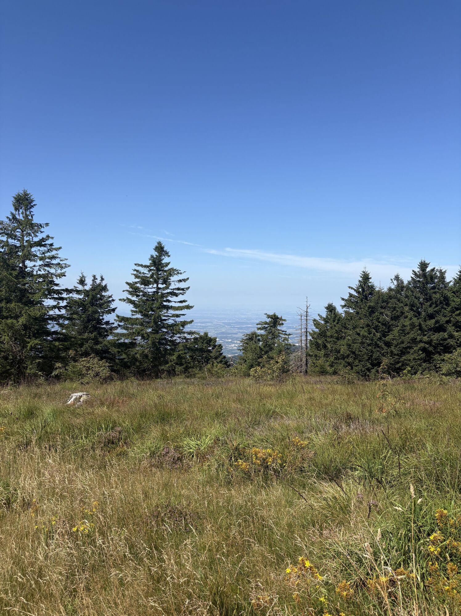
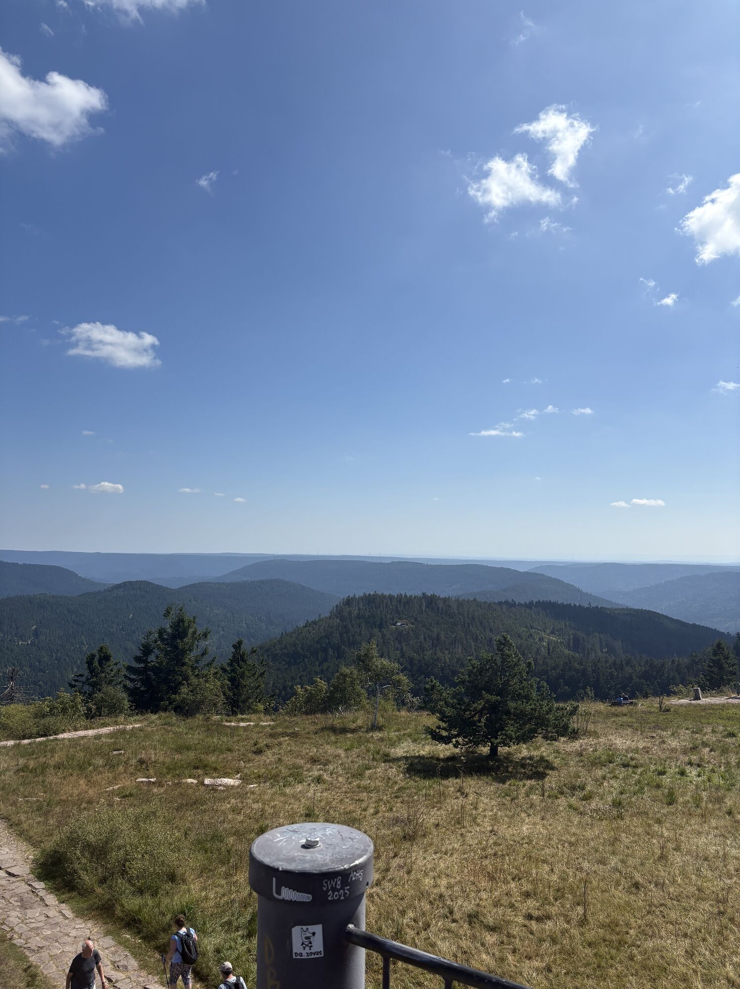

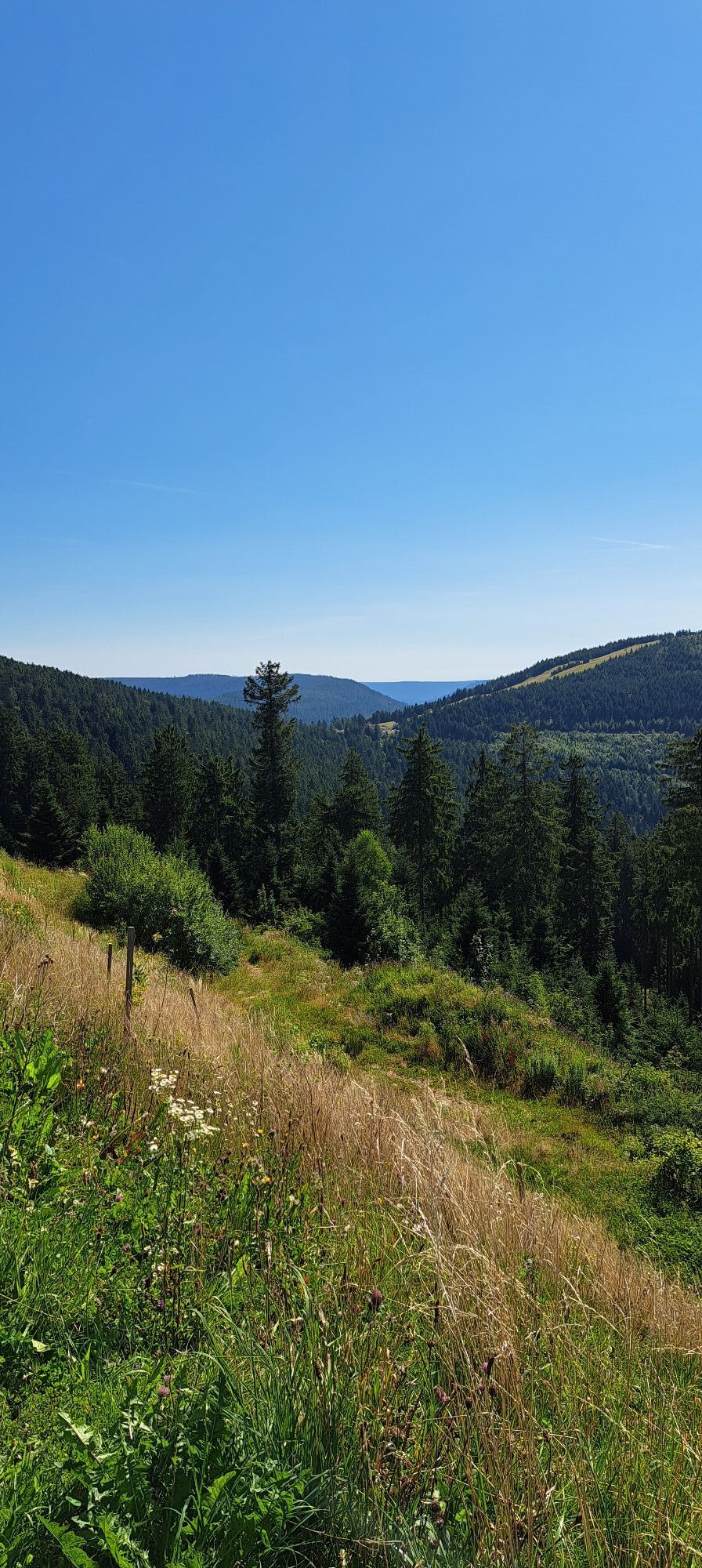
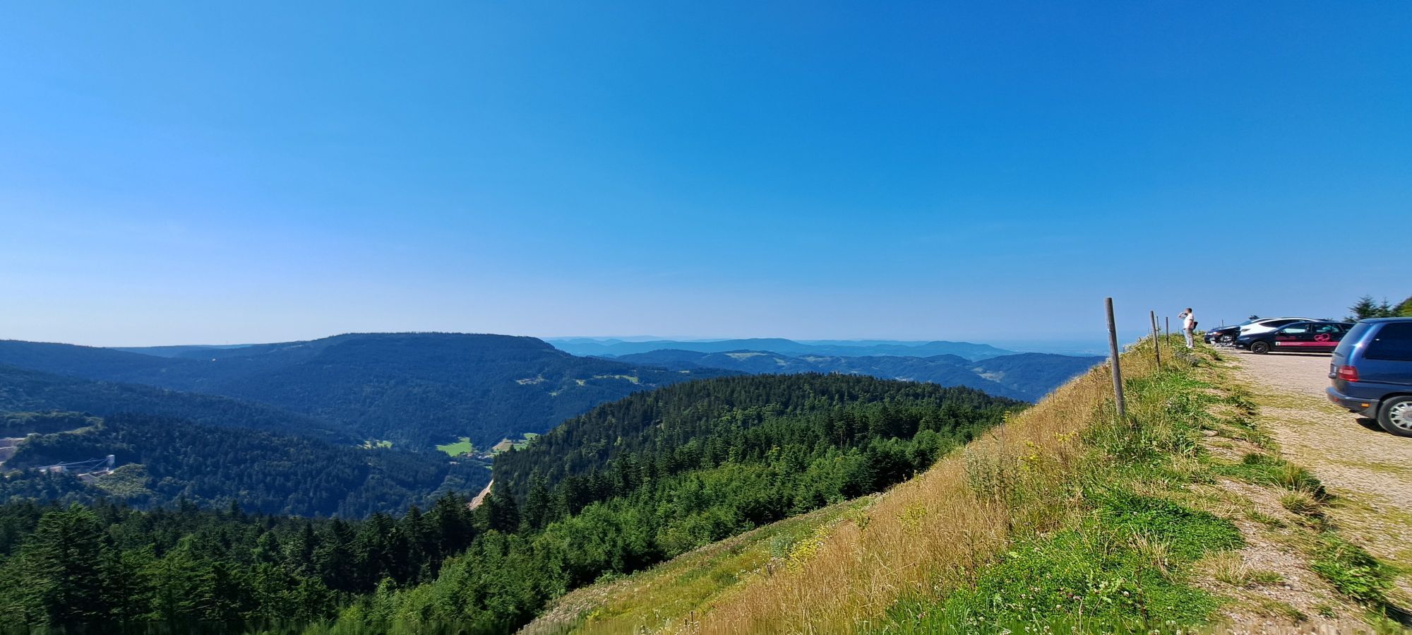

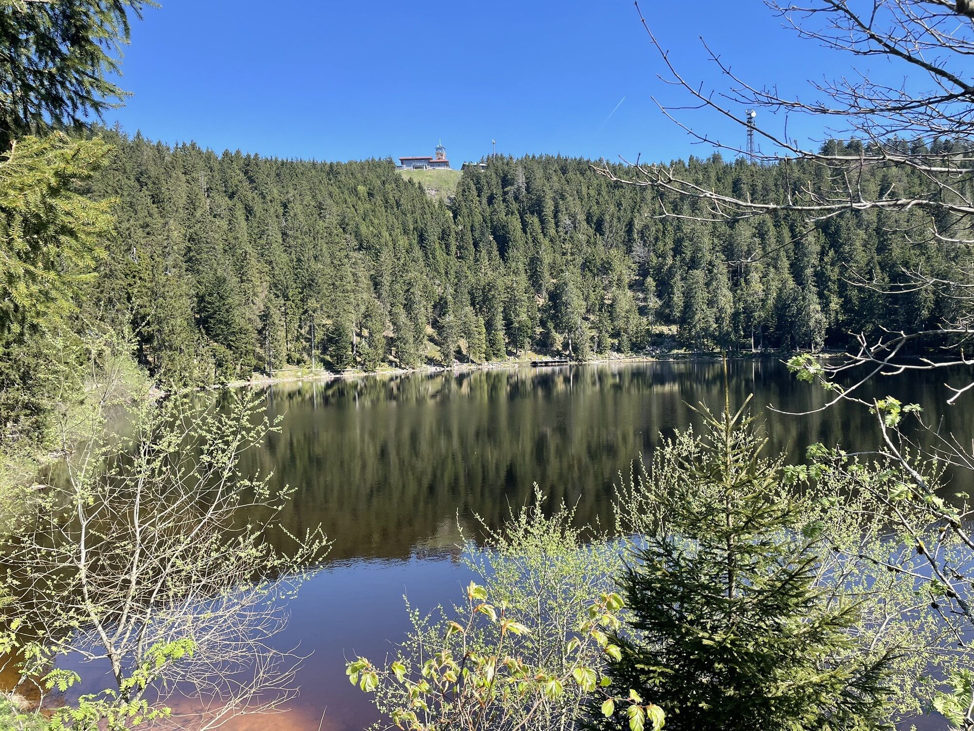
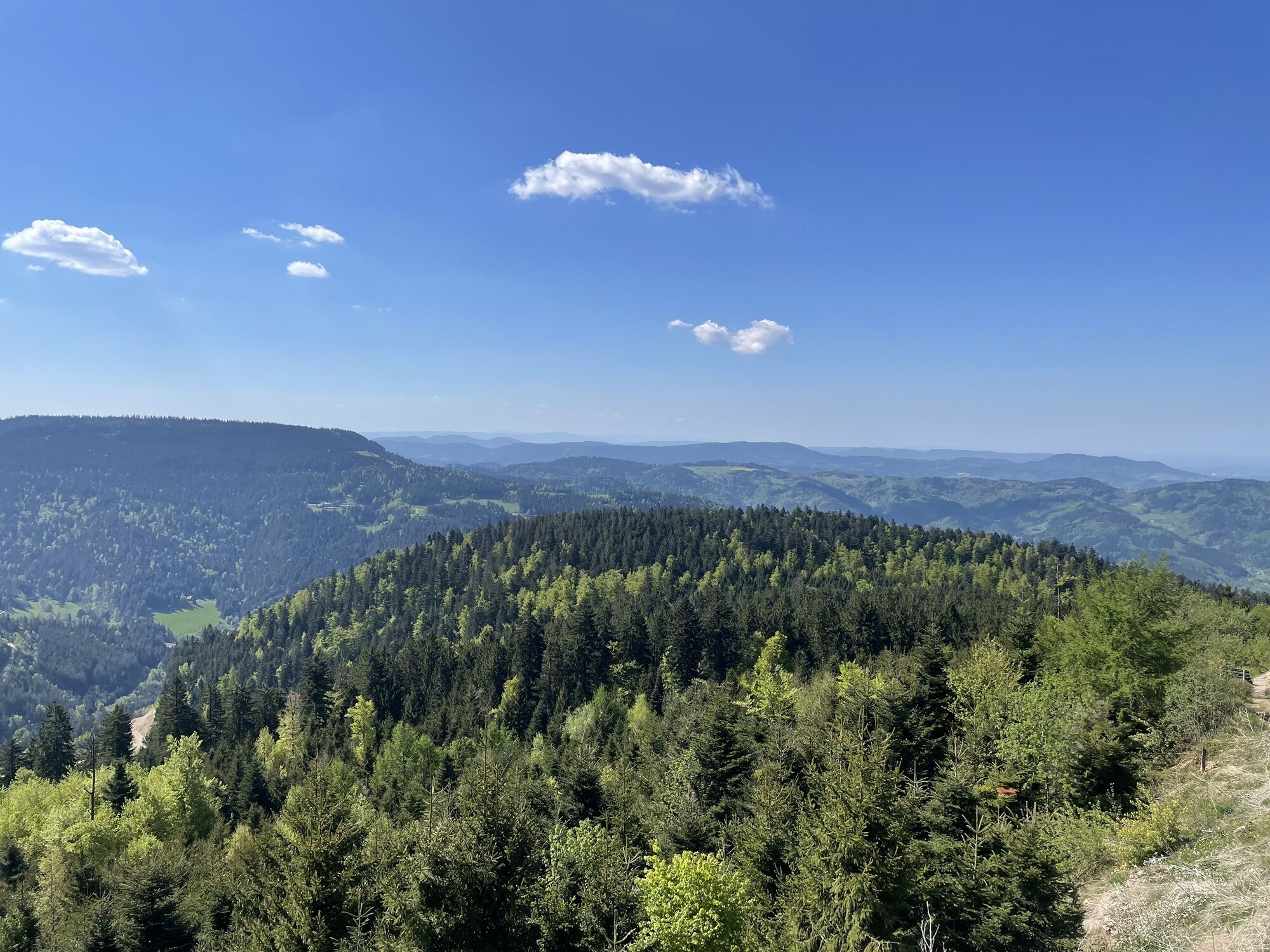
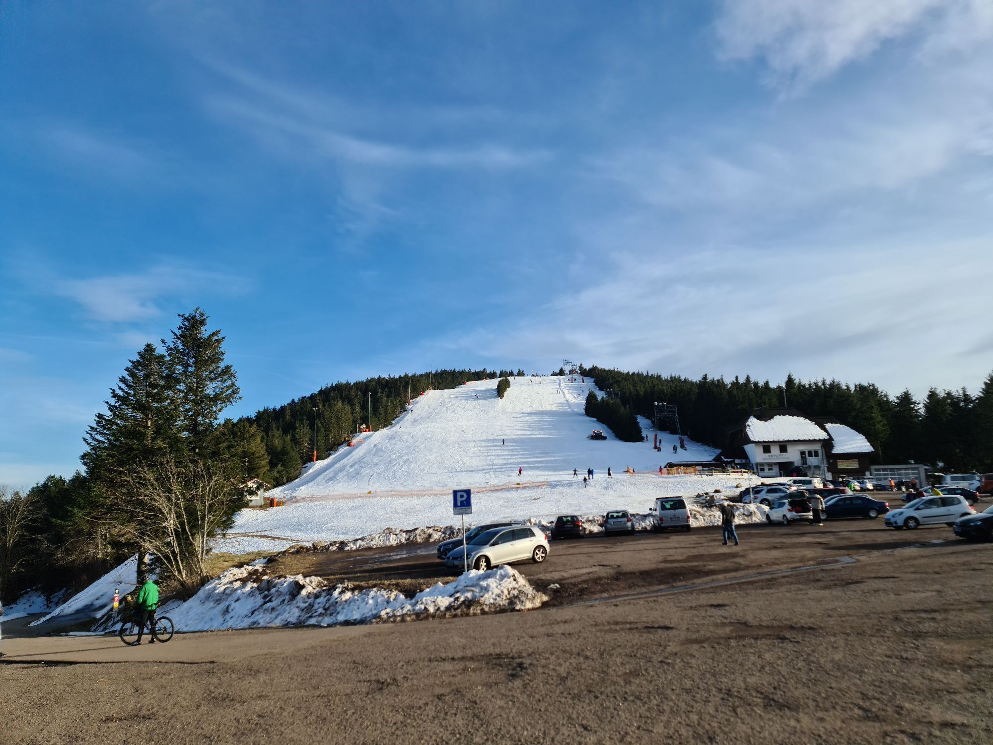
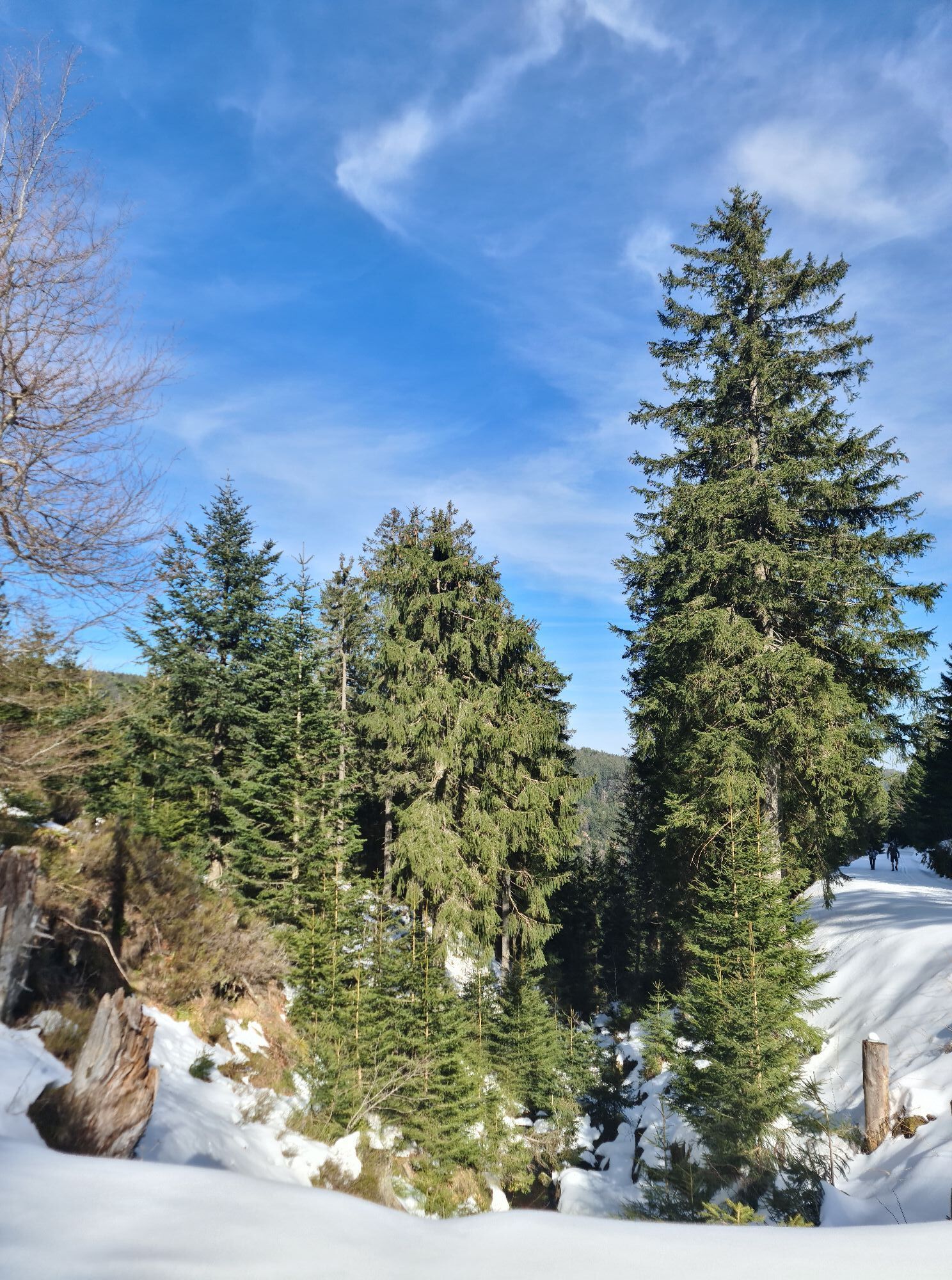
This route can be excellently combined with the Alpirsbacher Klosterbräu Black Forest Trail. With forests, panoramas, observation towers, a wildlife enclosure, and also places to stop for refreshments...
This route can be excellently combined with the Alpirsbacher Klosterbräu Black Forest Trail. With forests, panoramas, observation towers, a wildlife enclosure, and also places to stop for refreshments at Ochsenstall and at Mummelsee.

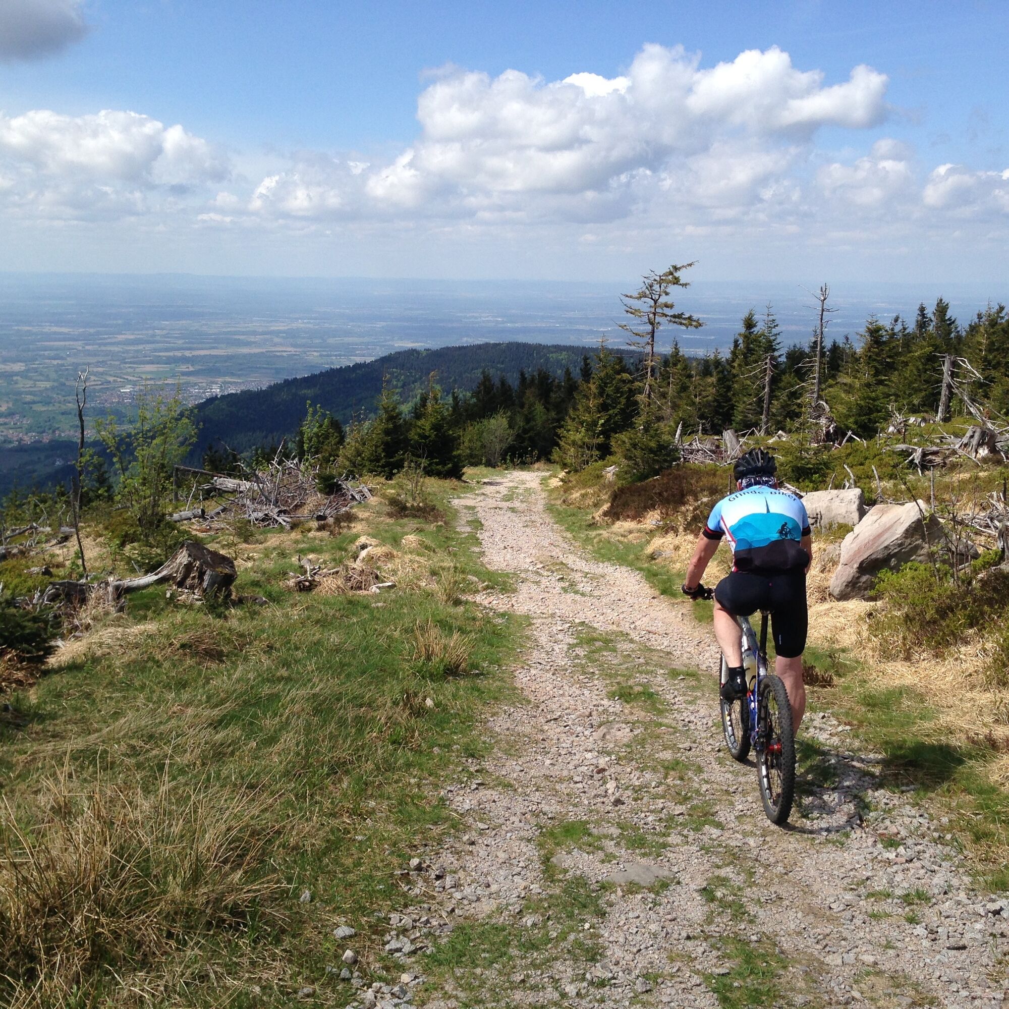
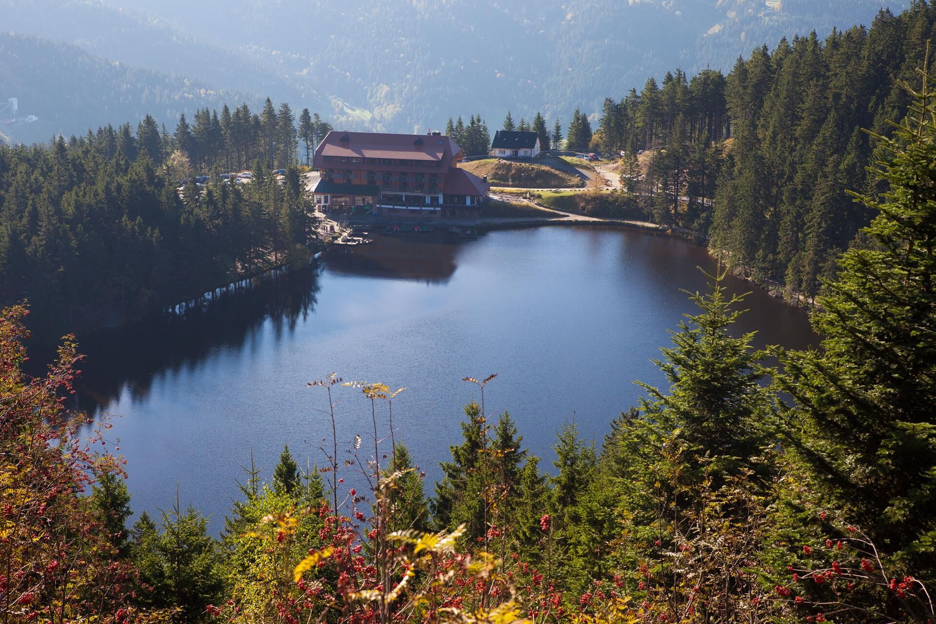

The route starts at Breitenbrunnen (one bus stop further after Grashöhe, the start of the Alpirsbacher Klosterbräu Black Forest Trail).
Straight uphill about 200 m on the main road
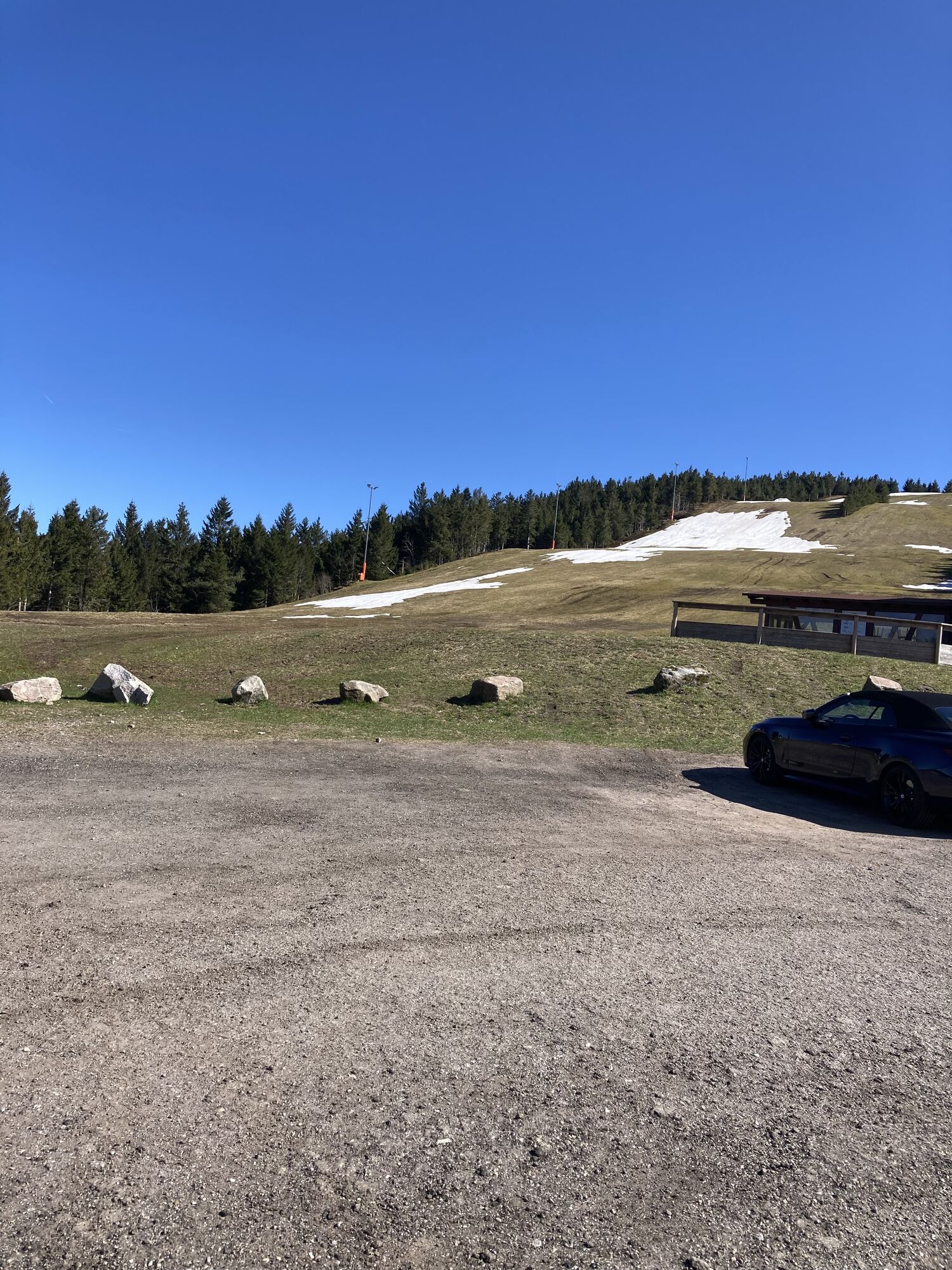
At the height of the wooden hut turn left and at the LA10 junction turn half-right uphill on the unpaved path towards Unterstmatt
Cross the B 500 and continue 100 m further, turn left at the "Horngass" location and straight at the junction to Unterstmatt
Then at a sharp angle right and at the next two junctions always straight on to Ochsenstall
At the next junction straight on and after 1.5 km at the lower dance place turn half-right uphill
After 1 km turn right at the junction on the unpaved path (which later becomes paved again) to Seibelseckle
At Seibelseckle turn right to Mummelsee
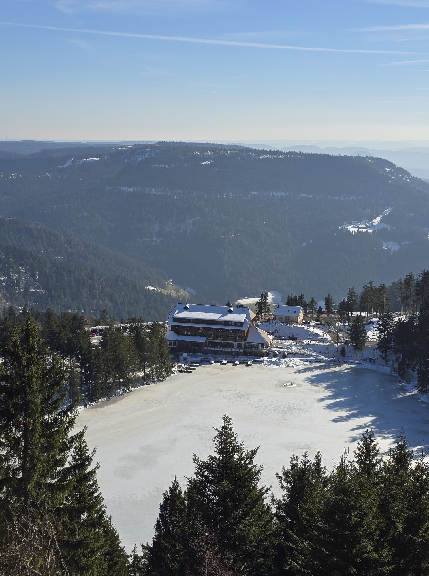
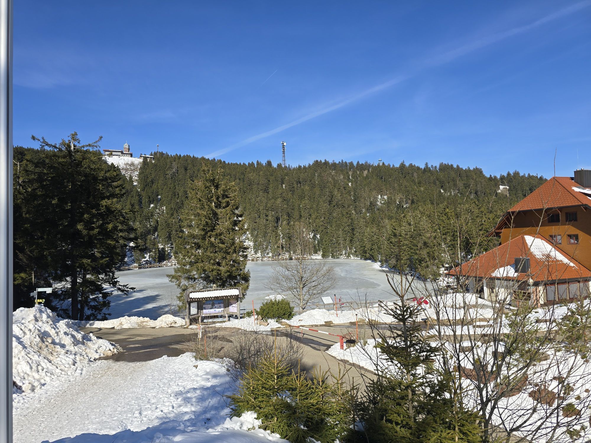
Across the parking lot and behind the Berghotel Mummelsee turn half-right through the barrier on the road uphill to Hornisgrinde
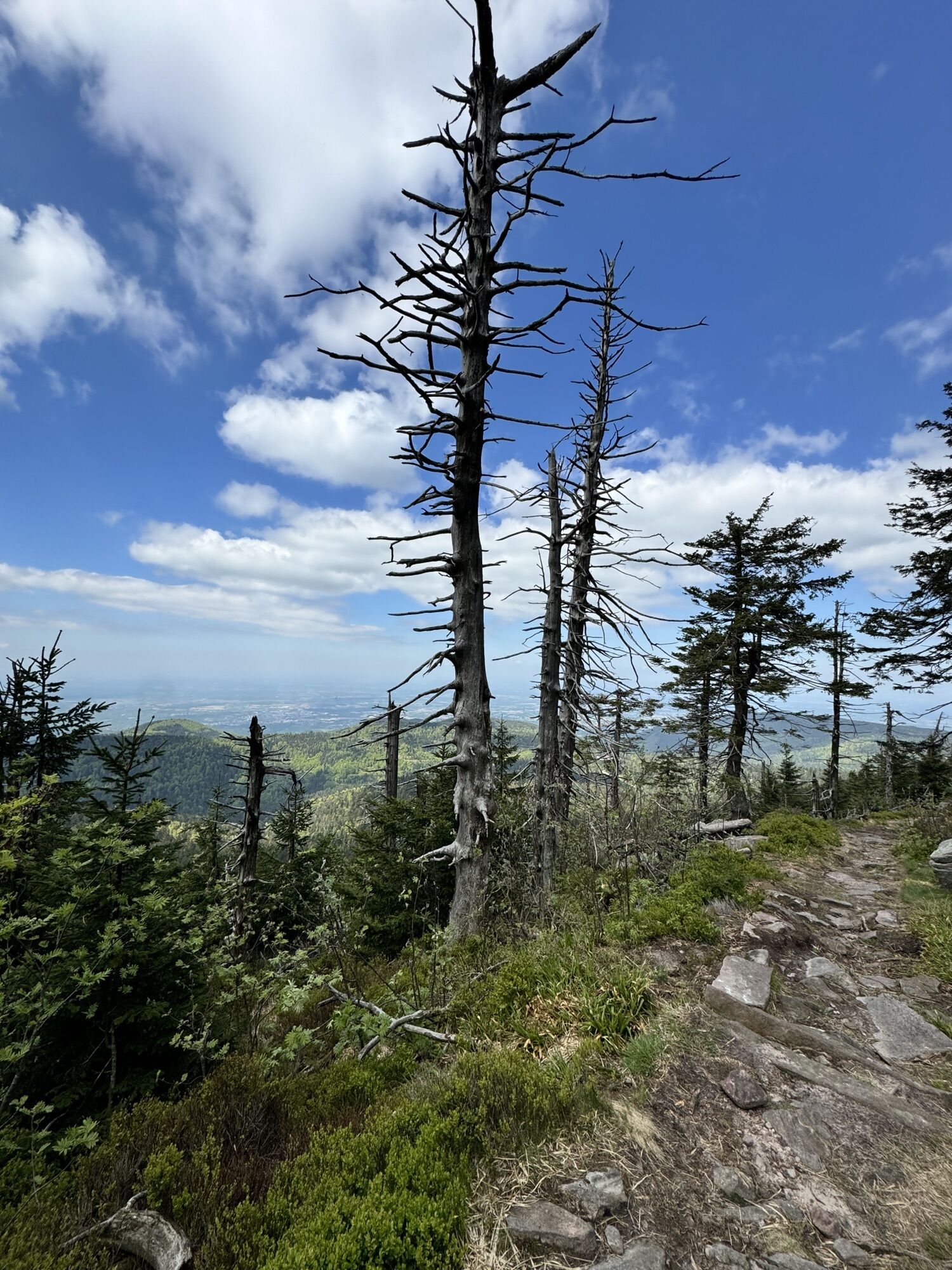
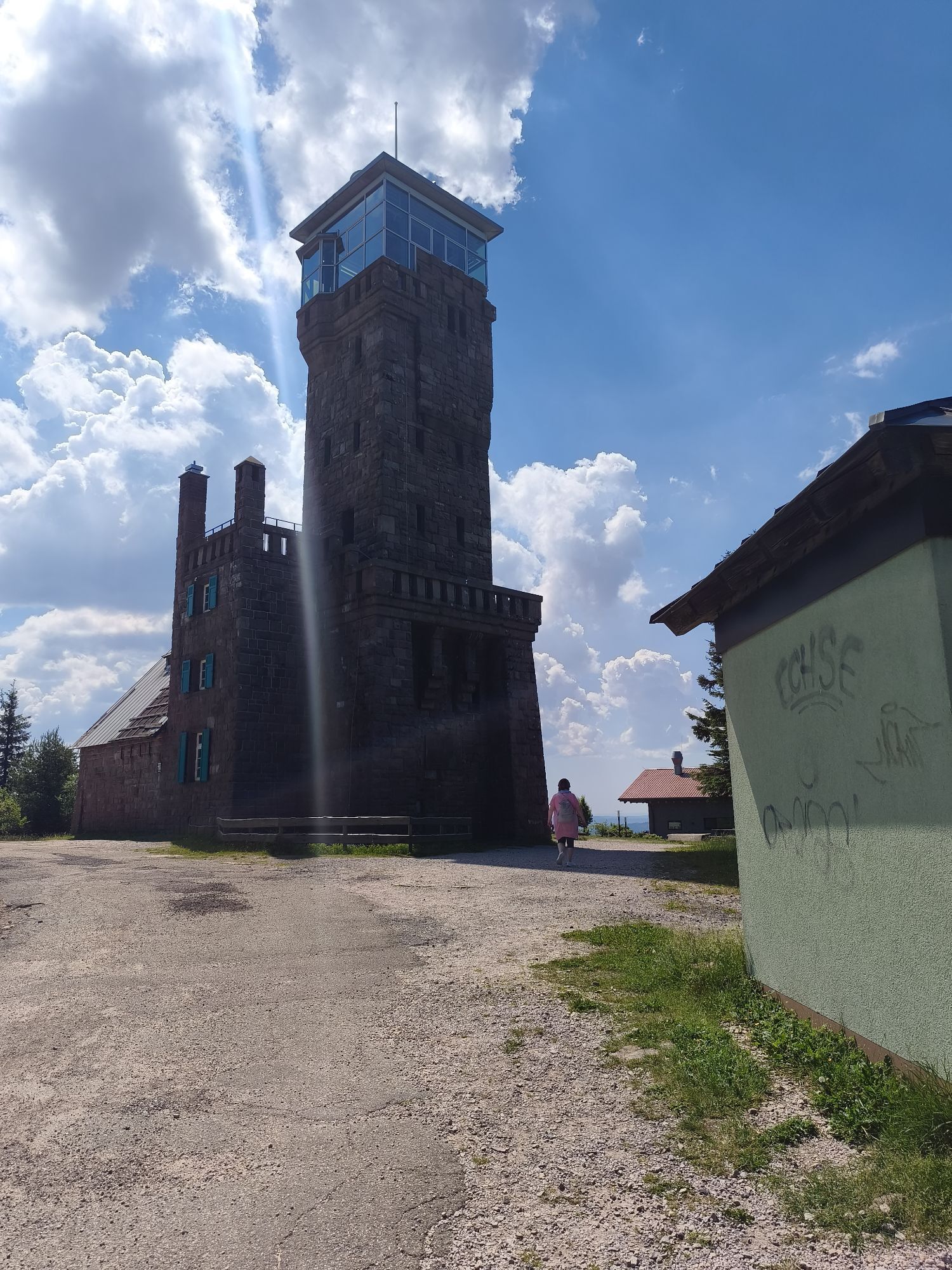
At the Bismarck tower on Hornisgrinde turn left onto the "boardwalk"
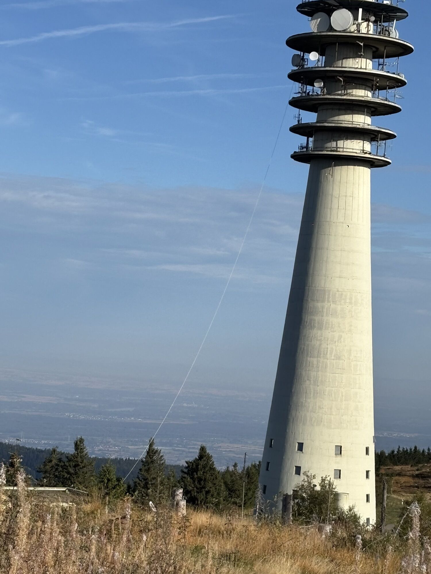
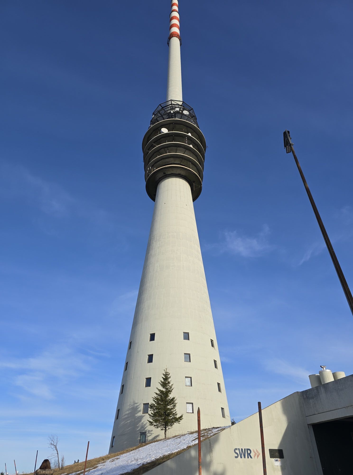
At the transmission tower turn left downhill and after about 1 km at the right hairpin turn straight on the forest road back to Mummelsee
There across the parking lot, past the chapel to the junction at the gravel parking lot
Turn right towards Breitenbrunnen to the B500 and then left on it. 200 m further, at a sharp angle turn right and follow the forest road downhill towards Breitenbrunnen.
At the junction at the high seat turn right uphill and 100 m further left onto the "Elsaweg" path, 100 m steep downhill and then continue straight on the forest road downhill passing the hut
At the "Markwald" location turn half-right to Breitenbrunnen
By train to Achern, then by bus 7123 up through the town center to the Breitenbrunnen stop. This is the starting point. Note, bike transport on the public bus is only possible from May to October inclusive on weekends and public holidays – and then free of charge. :)
Free parking is available directly at the starting point Breitenbrunnen (hiking parking lot).

Webové kamery z prohlídky



Oblíbené prohlídky v okolí
- 3.9
Schnapsbrunnenweg 2
středníTuristika 12.8 km - 4.9
Ottenhöfen - Eichkopf - Karlsruher Grat
středníTuristika 13.7 km - 4.5
Naturgewalten-Tour
Turistika 15.6 km - 4.7
Bannwald-Tour
Turistika 13.3 km - 2.9
Genießerpfad zum Panoramastüble
Turistika 10.6 km - 4.7
Schnapsbrunnenweg 1
světloTuristika 7.45 km - 4.7
Ottenhöfen - Mühlenweg
středníTuristika 13.4 km - 4.5
Lautenbacher Hexensteig
heavyTuristika 15.3 km - 4.4
Seebach - Genießerpfad Mummelsee-Hornisgrindepfad
středníTematická stezka 6.70 km - 4.0
Gertelbacher Wasserfälle
heavyTuristika 18 km
Pěší turistika a stopování


Nenechte si ujít nabídky a inspiraci pro vaši příští dovolenou
Vaše e-mailová adresa byl přidán do poštovního seznamu.





