
Hornisgrinde - Panorama route
heavy
Pořiďte si tuto prohlídku do mobilního telefonu
Hornisgrinde - Panorama route
heavy
Mountainbike
39.95
km
Naskenujte QR kód a spusťte navigaci v aplikaci bergfex.


Pěší turistika a stopování





Hornisgrinde - Panorama route
heavy
Vzdálenost
40.0
km
Doba trvání
12:50
h
Ascent
1066
hm
Hladina moře
364 -
1161
m

Navigujte po trase v aplikaci
Nainstalujte si aplikaci zdarma a mějte trasu vždy na očích díky GPS navigaci a sledování polohy.
Využijte nyní službu „ bergfex “ v aplikaci
Naskenuj QR kód pomocí fotoaparátu
Jakmile je aplikace nainstalována, obsah se otevře přímo. Pokud aplikaci ještě nemáš, budeš přesměrován na stránku, kde si ji můžeš zdarma stáhnout.
Stažení skladby
Hornisgrinde - Panorama route
heavy
Mountainbike
39.95
km
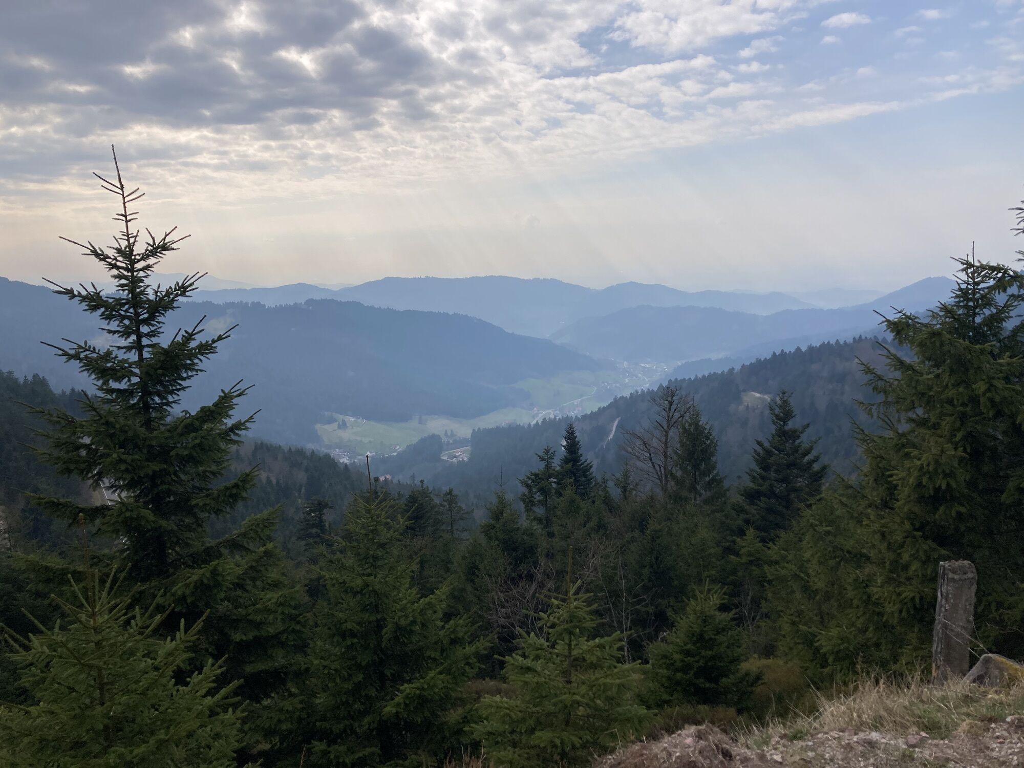
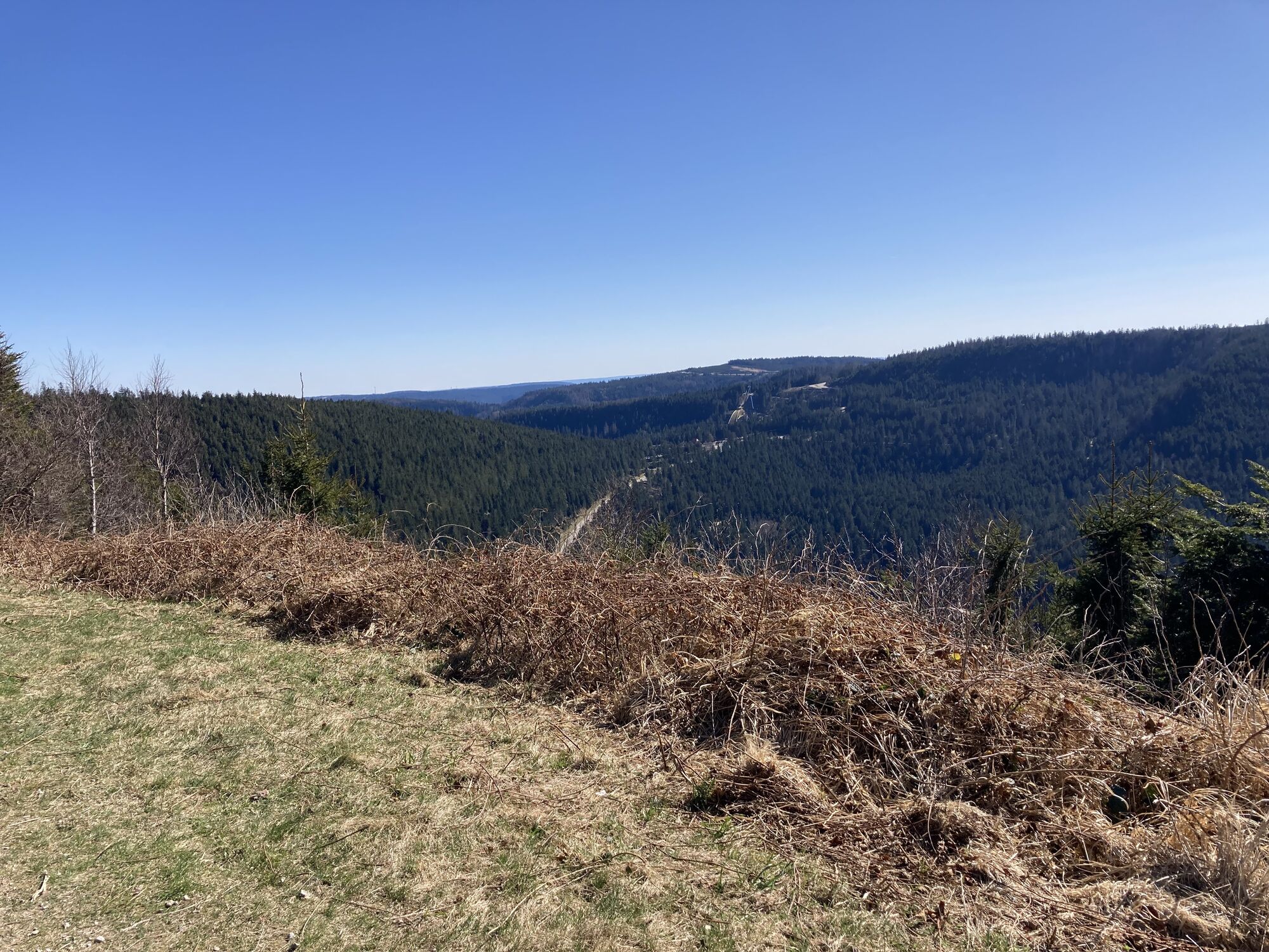
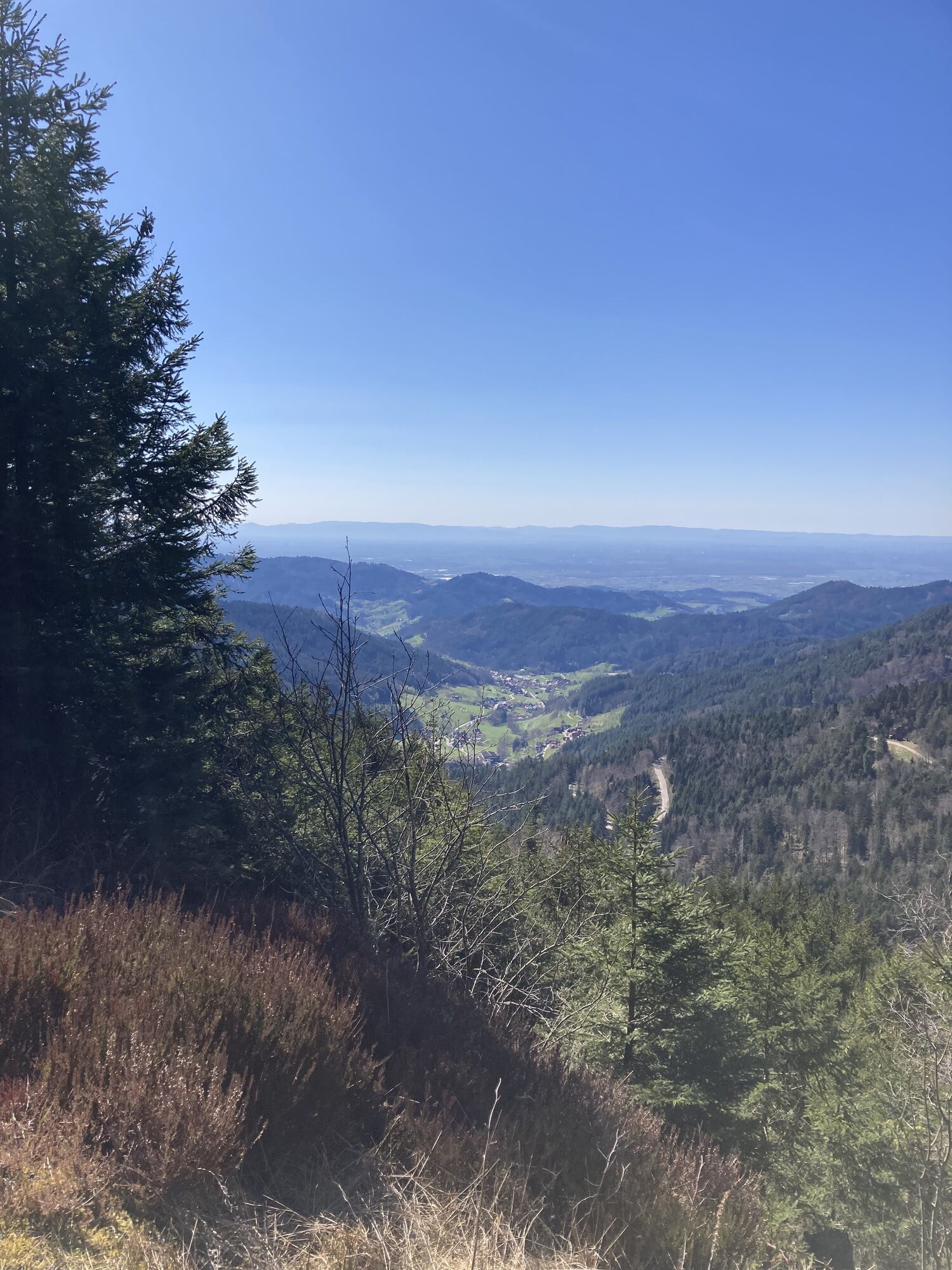
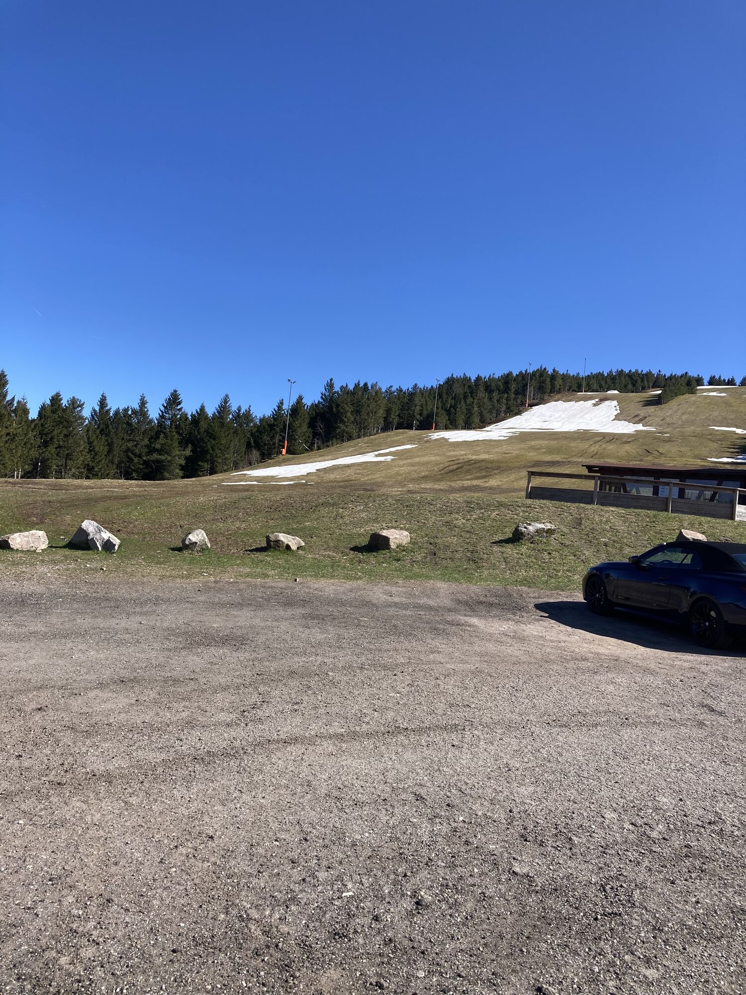
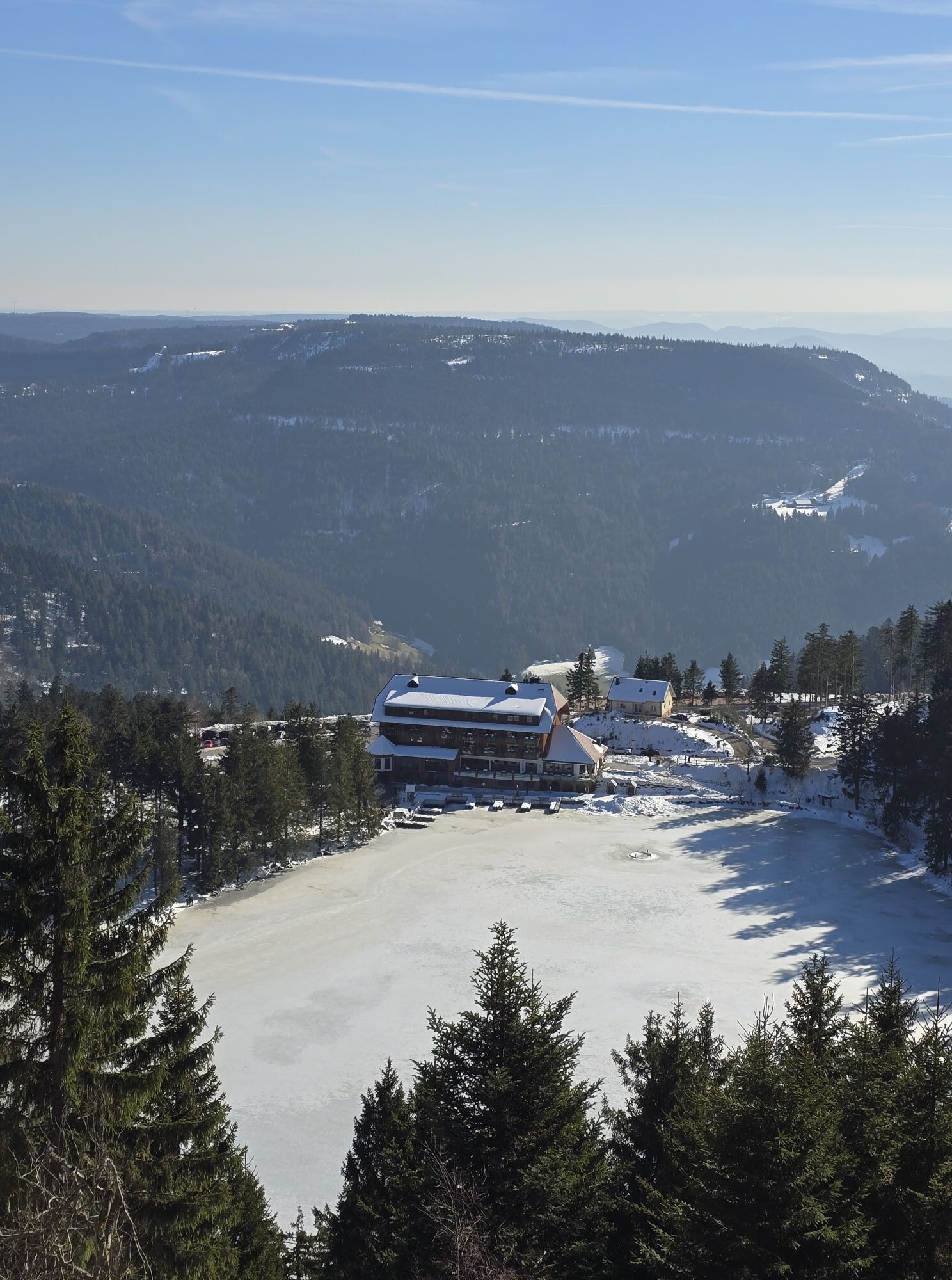
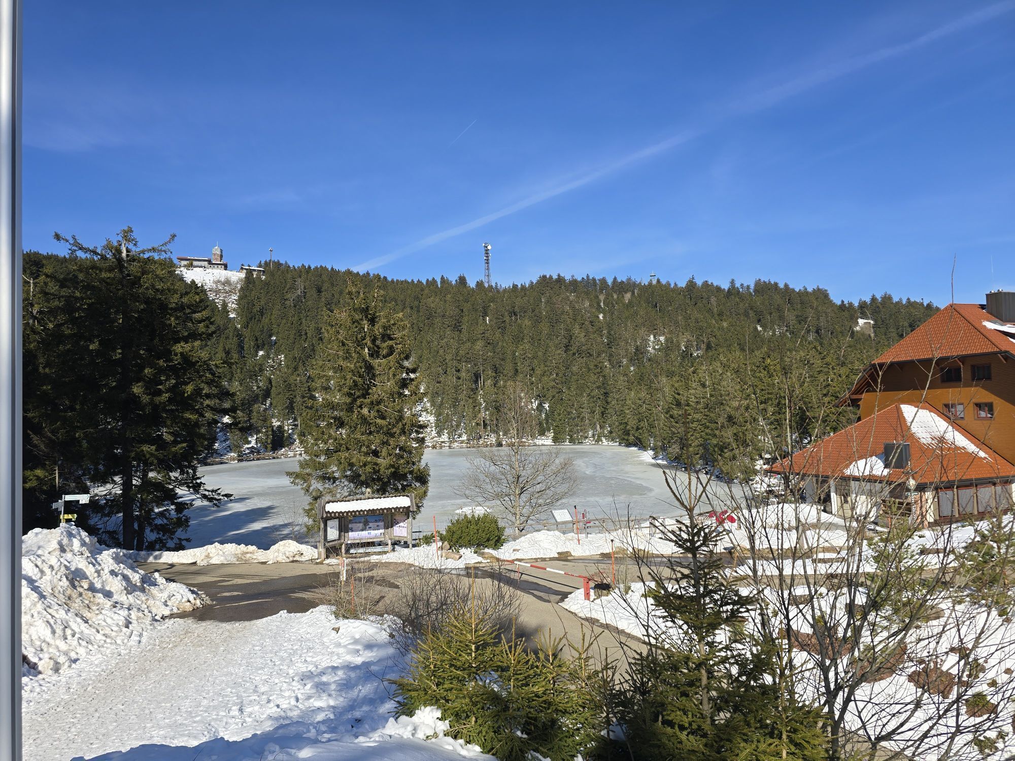
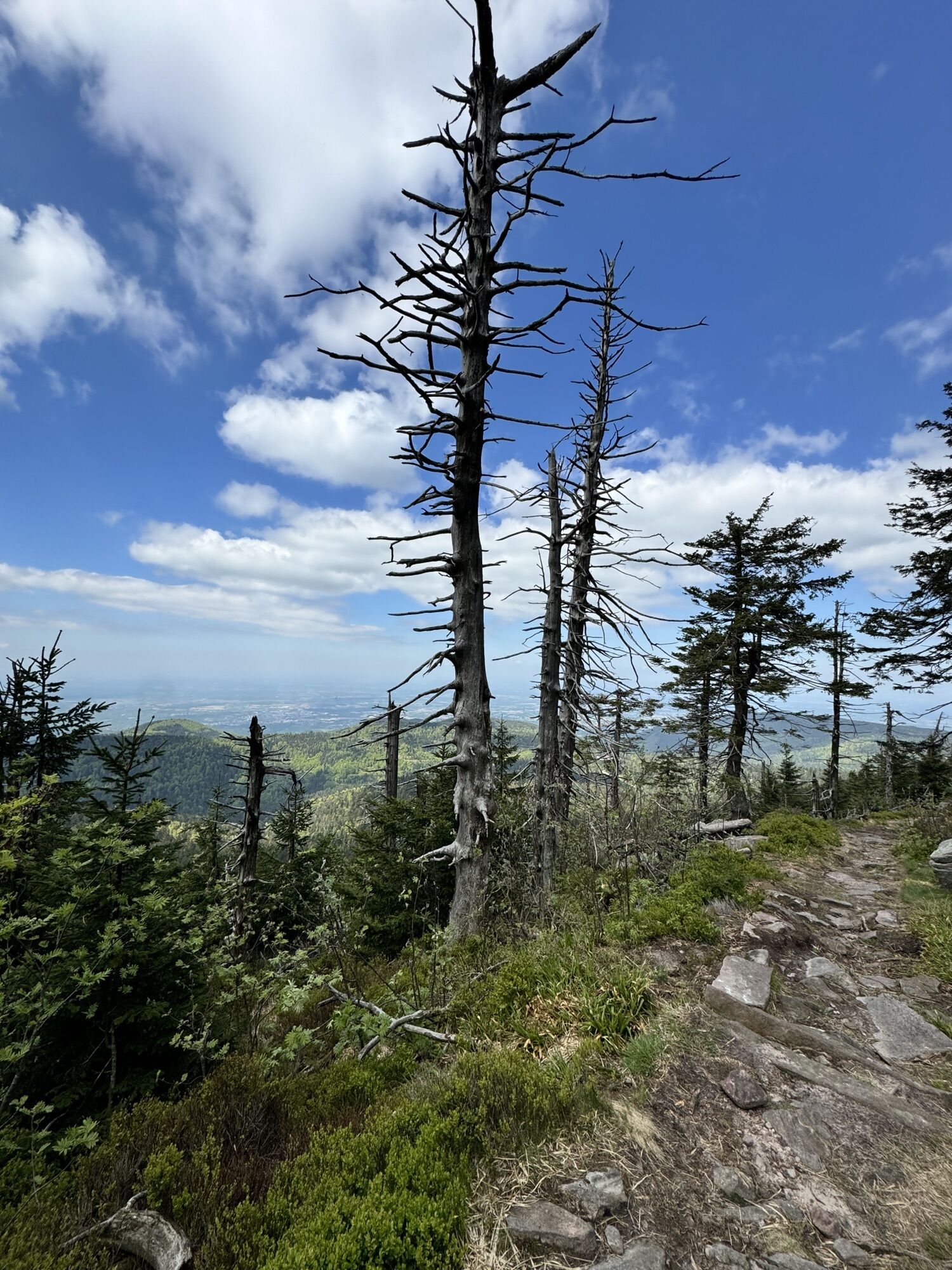
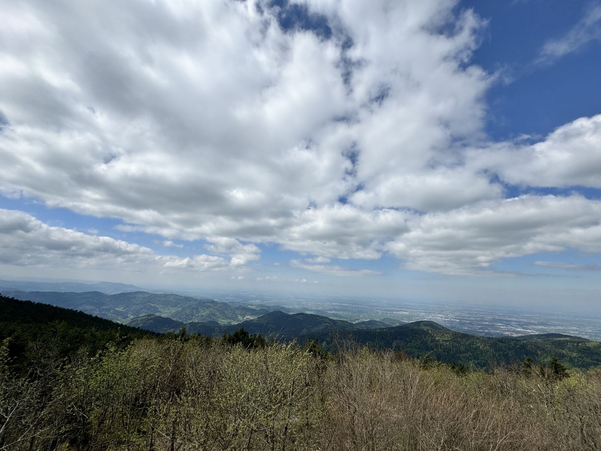
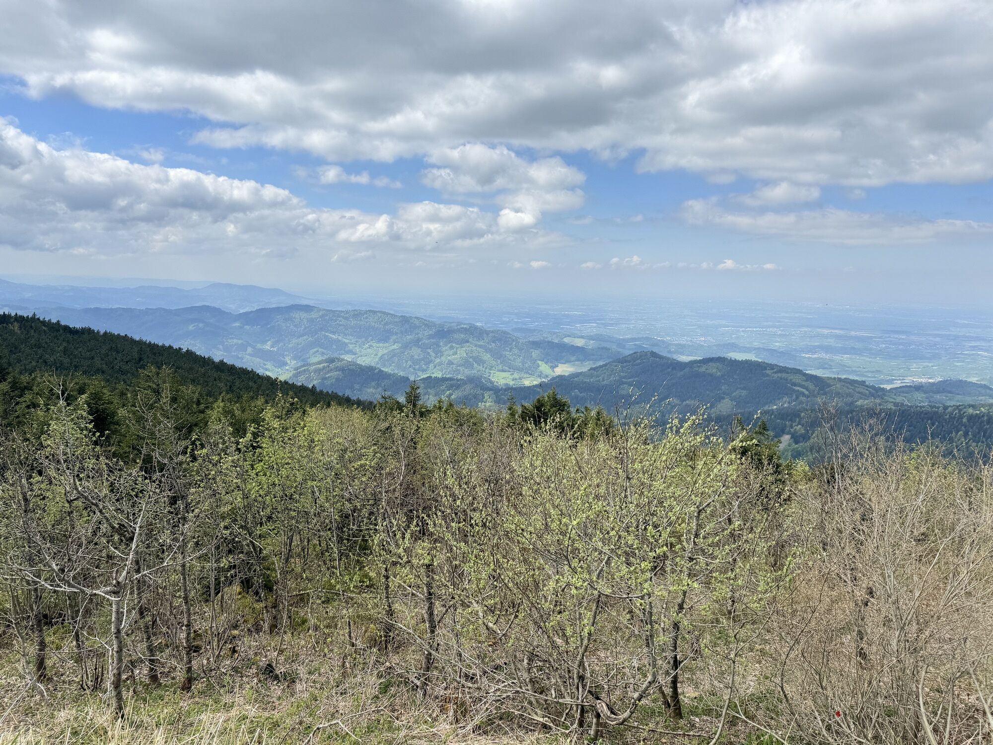
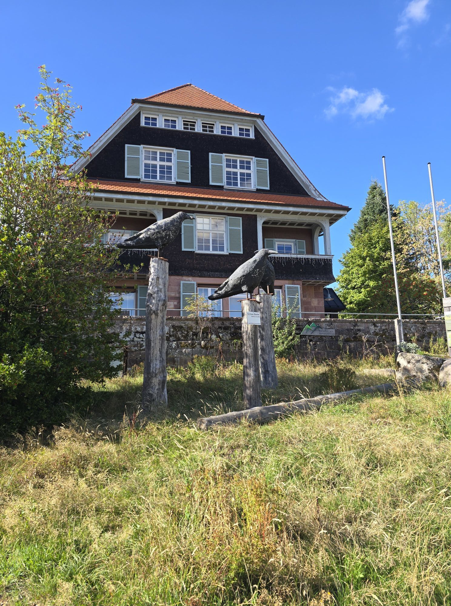
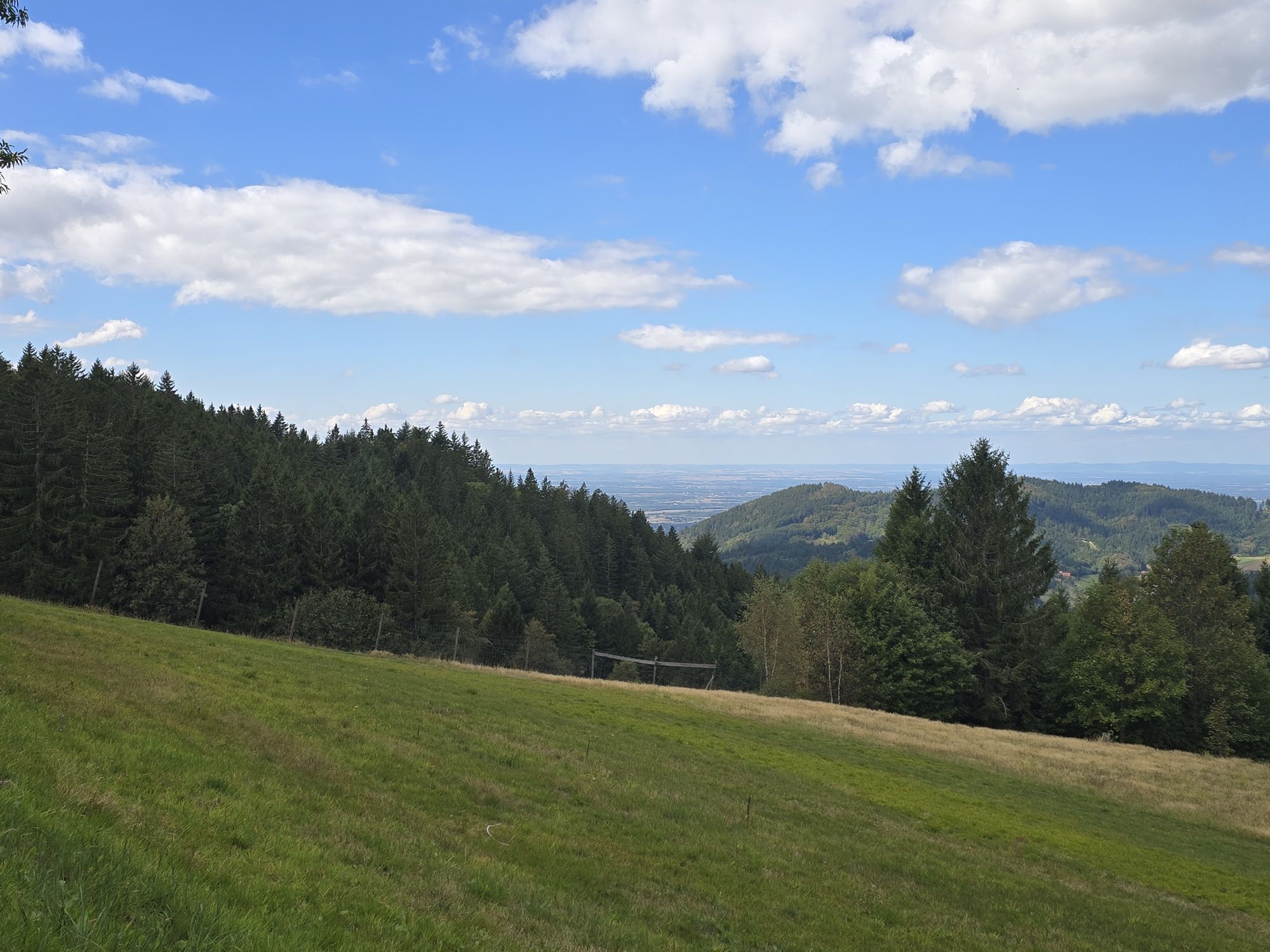
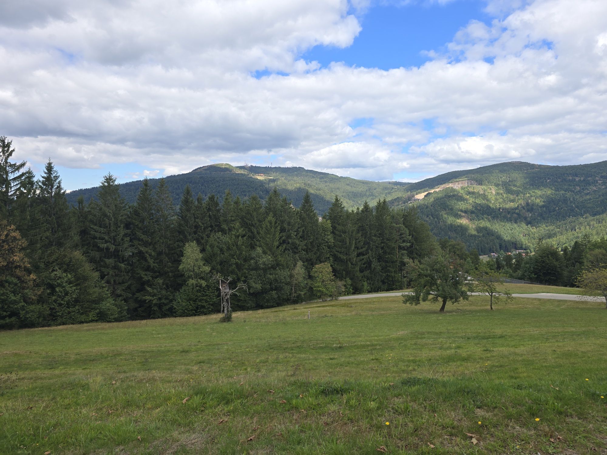
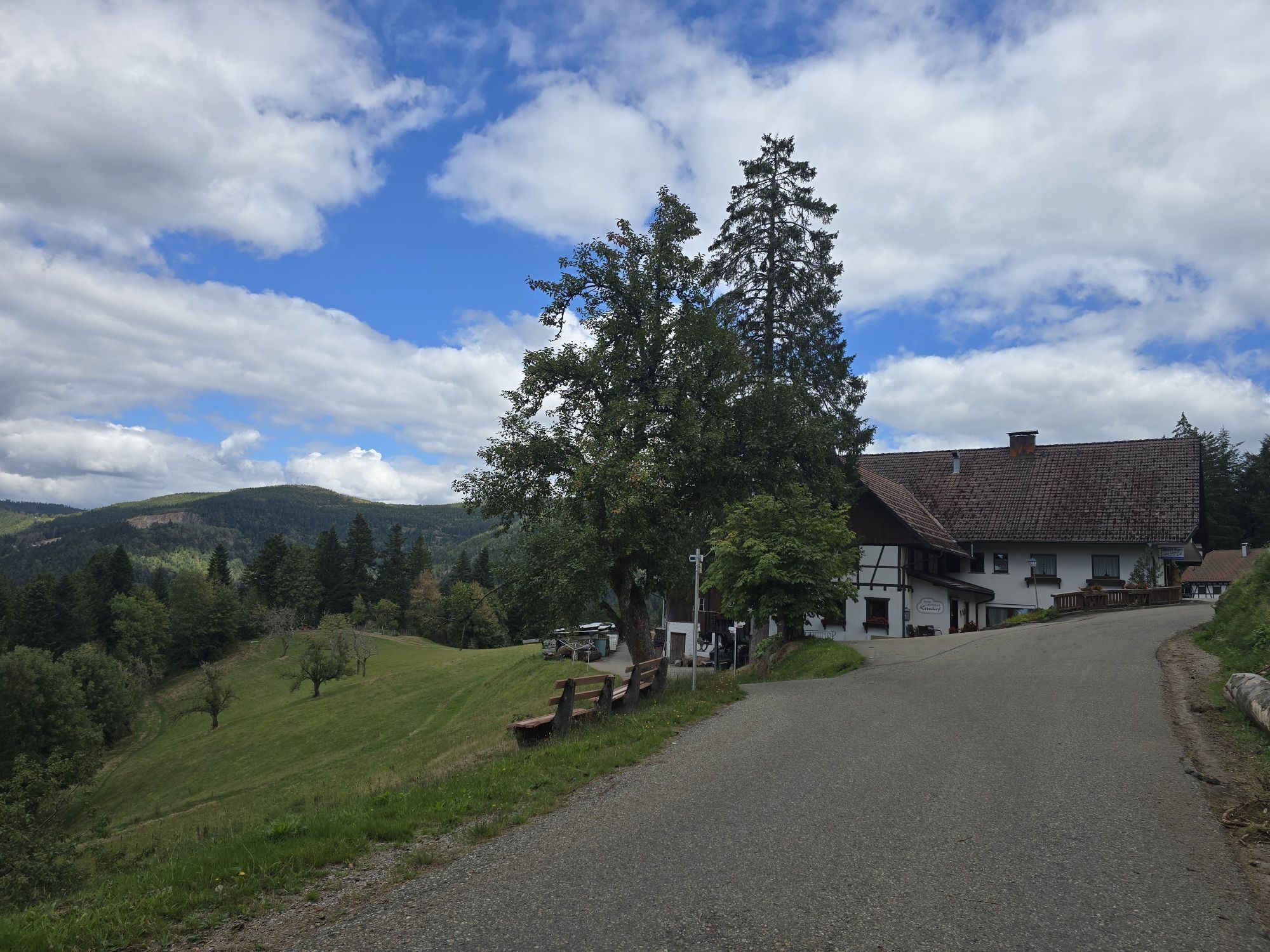
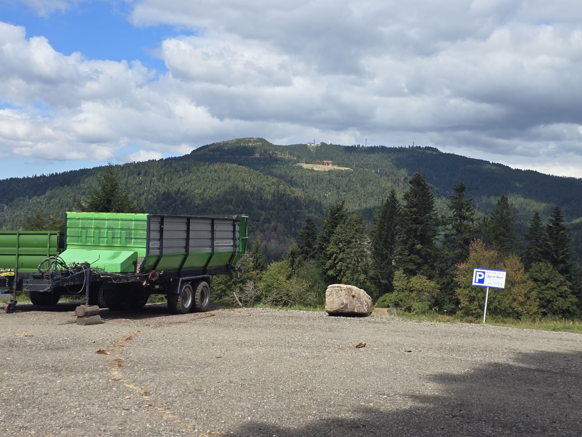
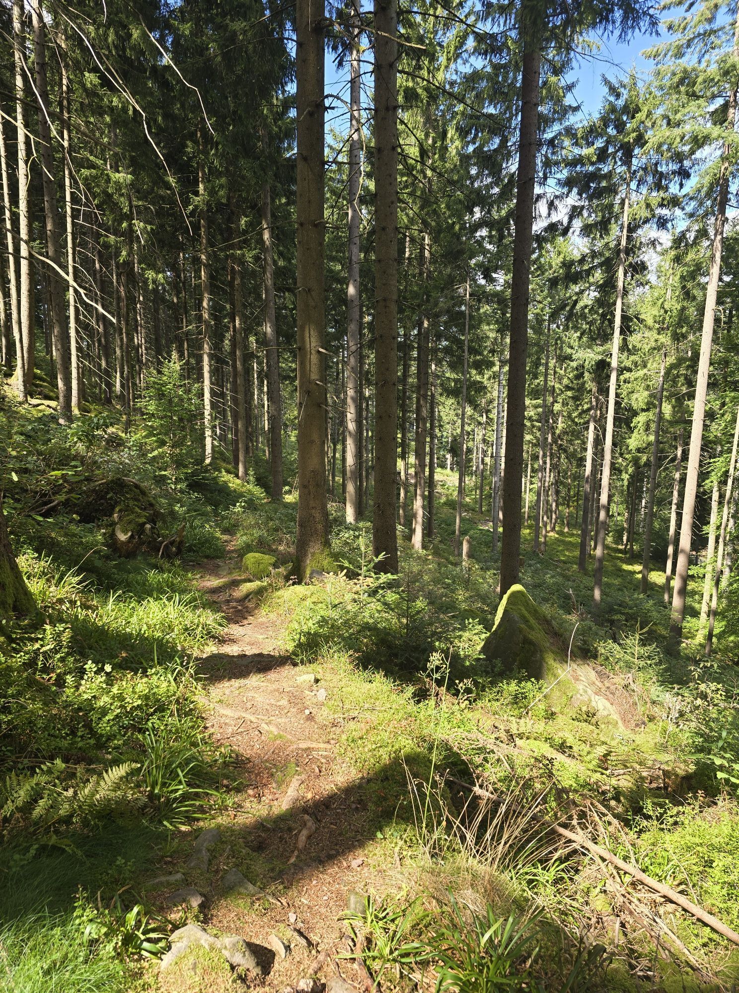
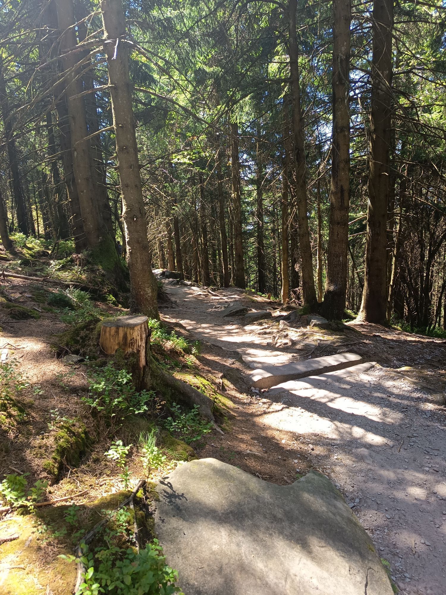
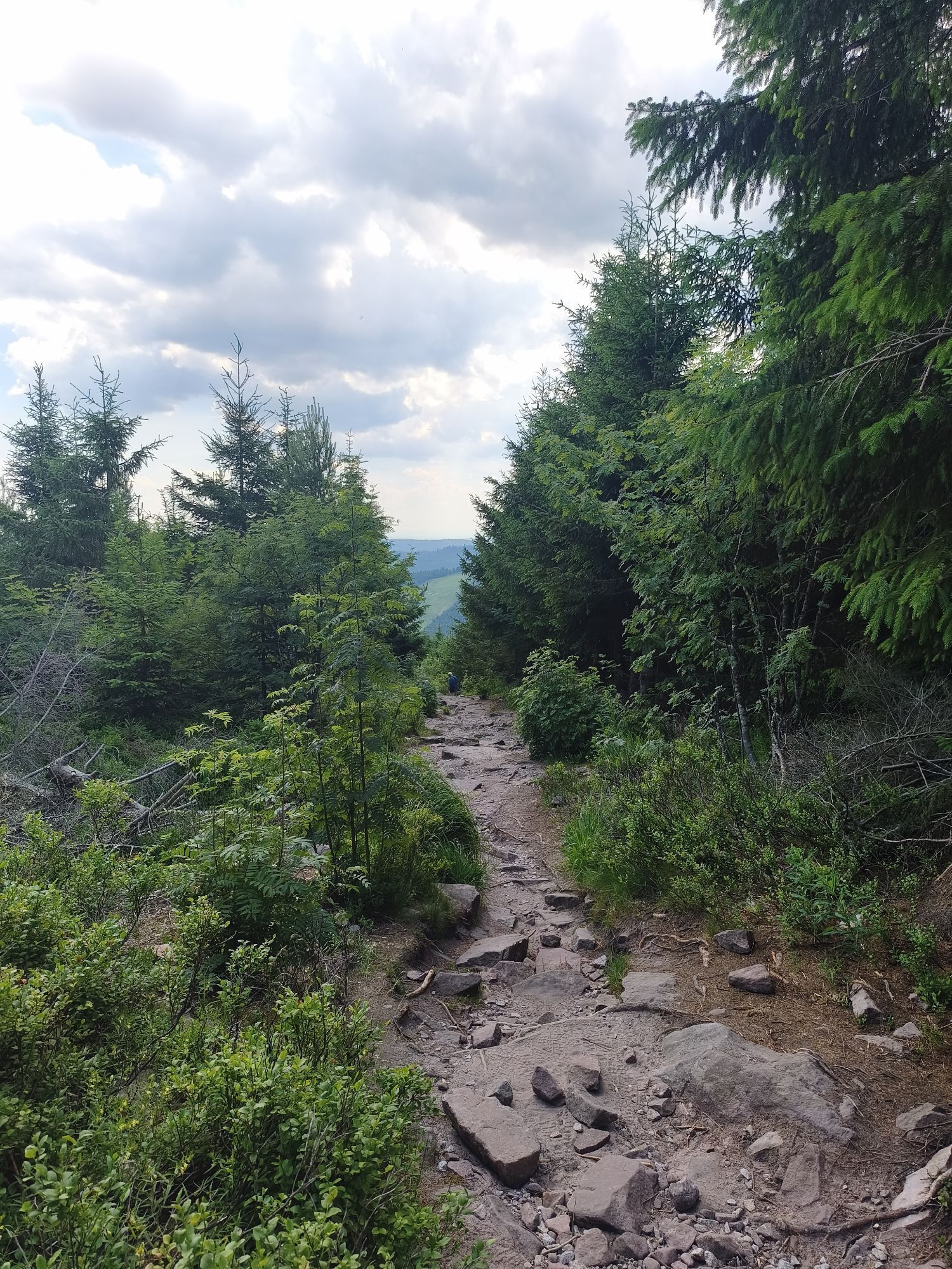
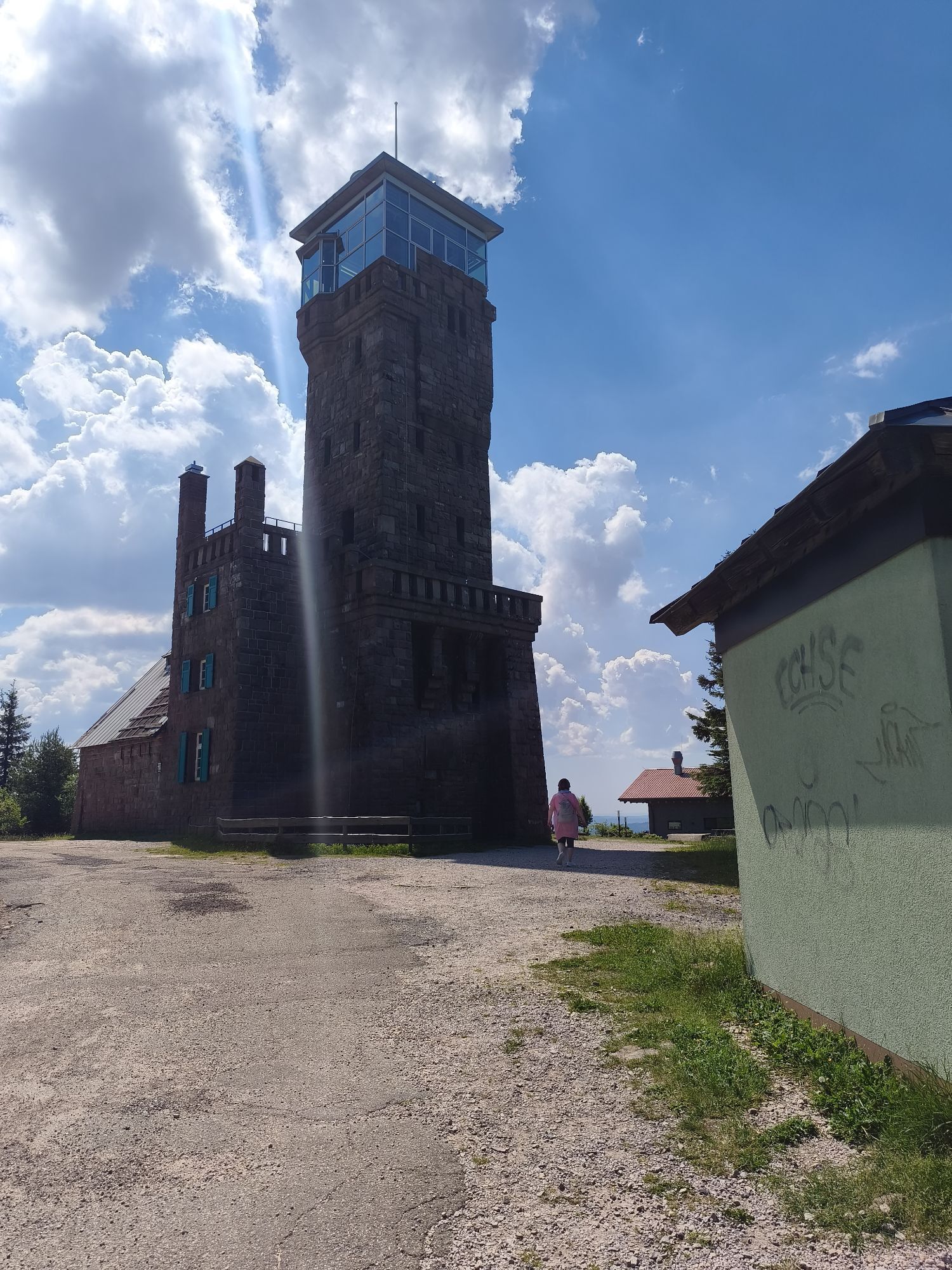
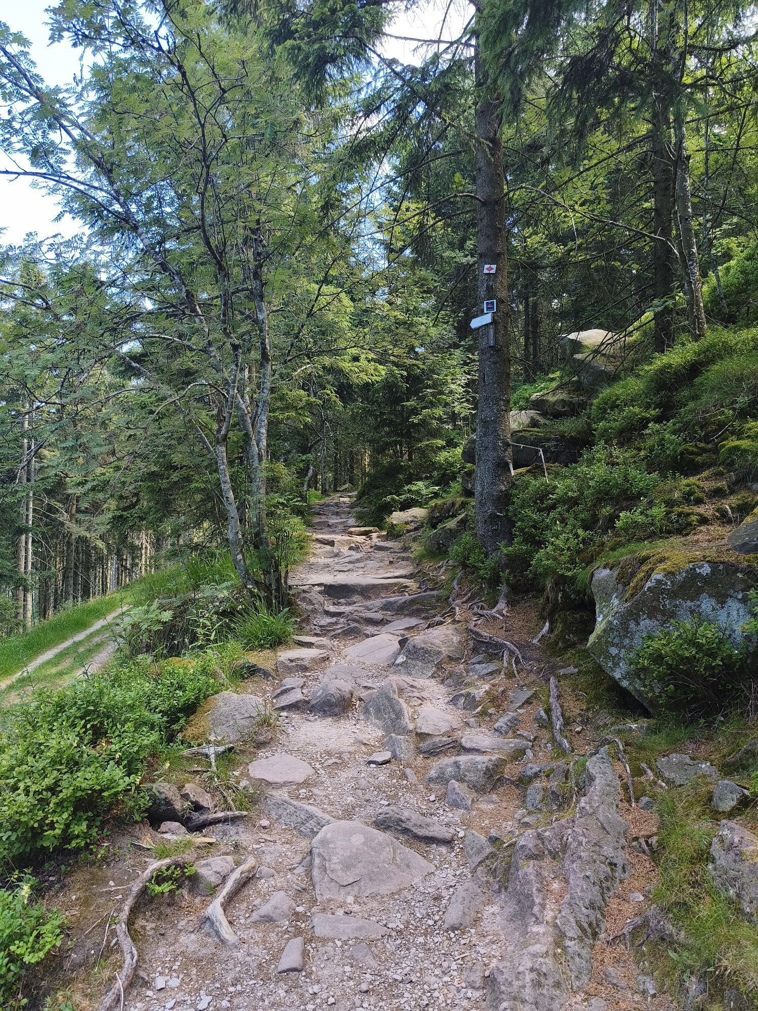
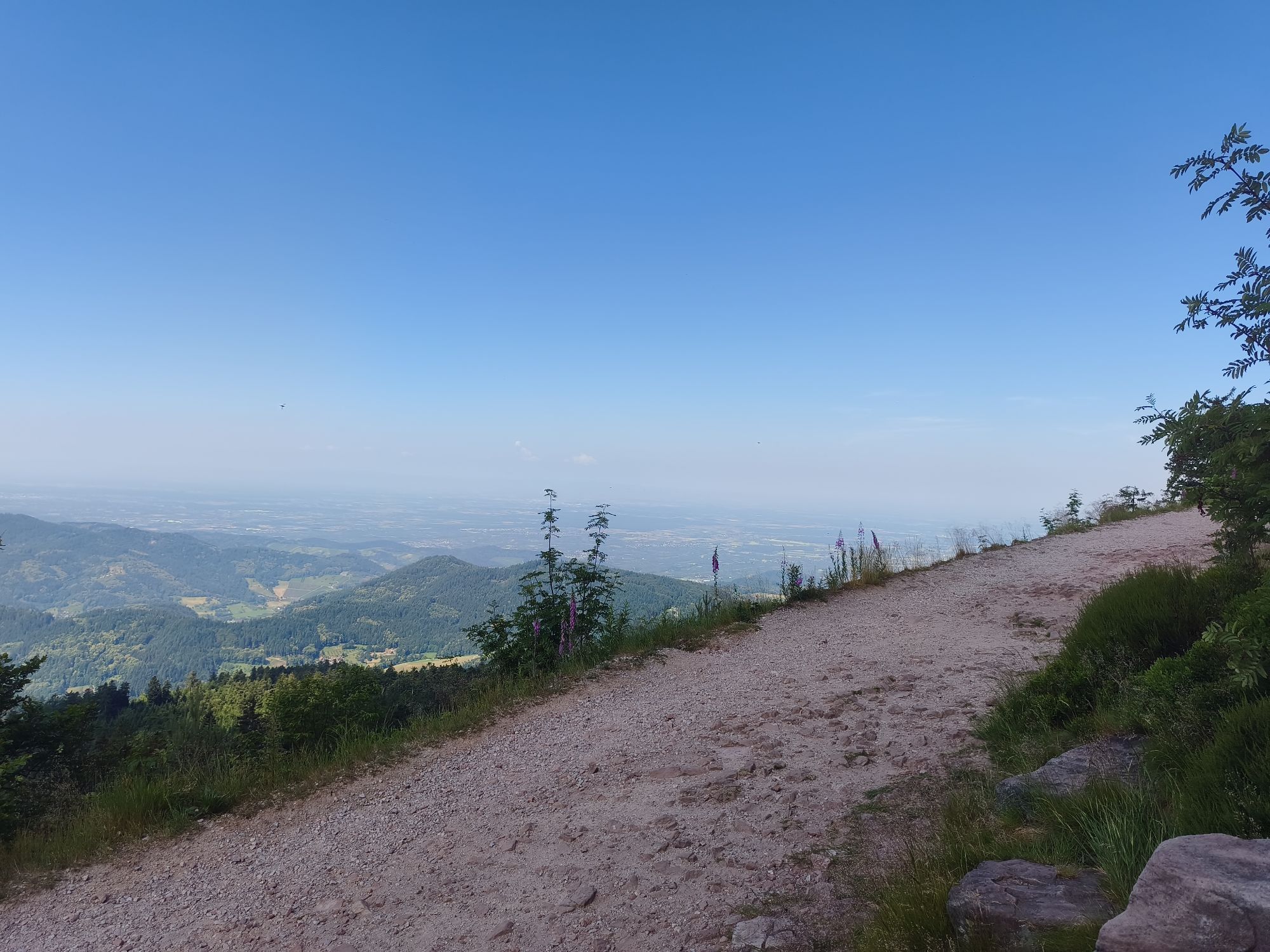
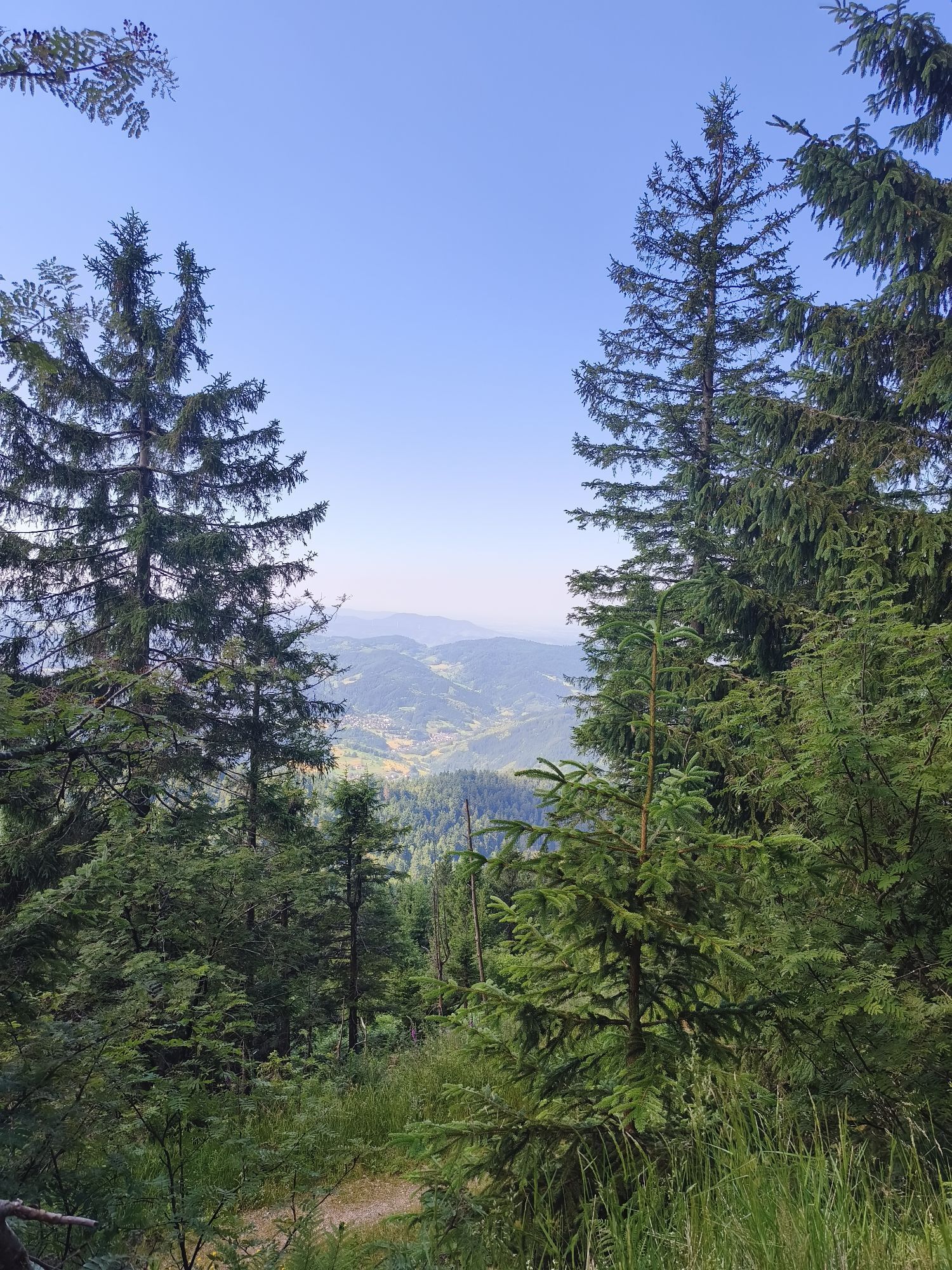
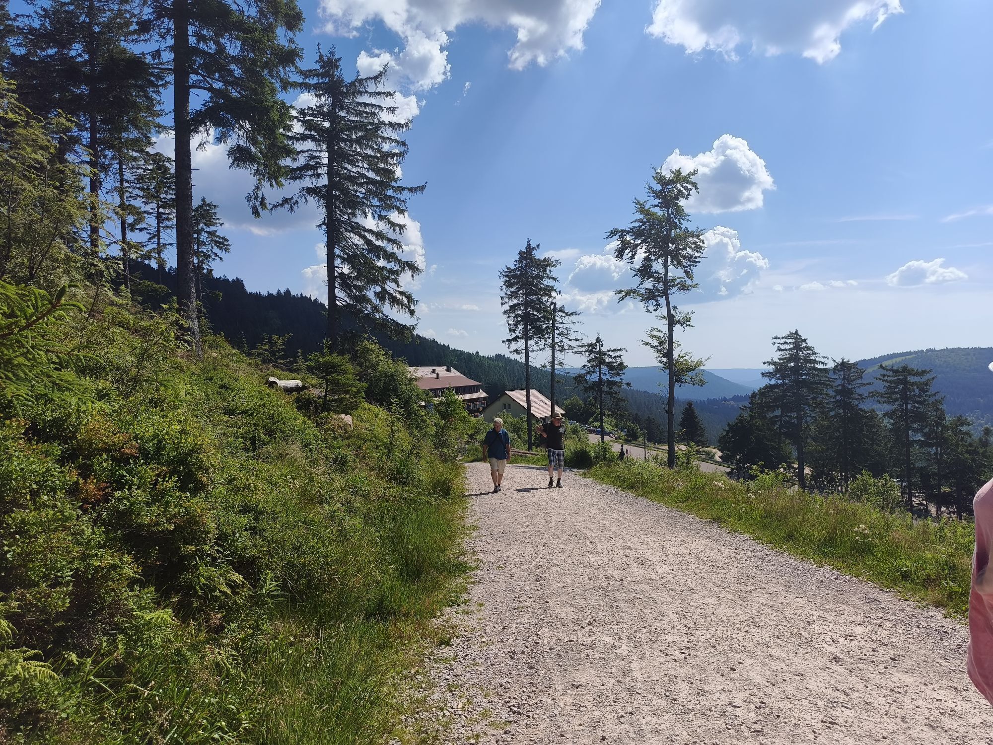
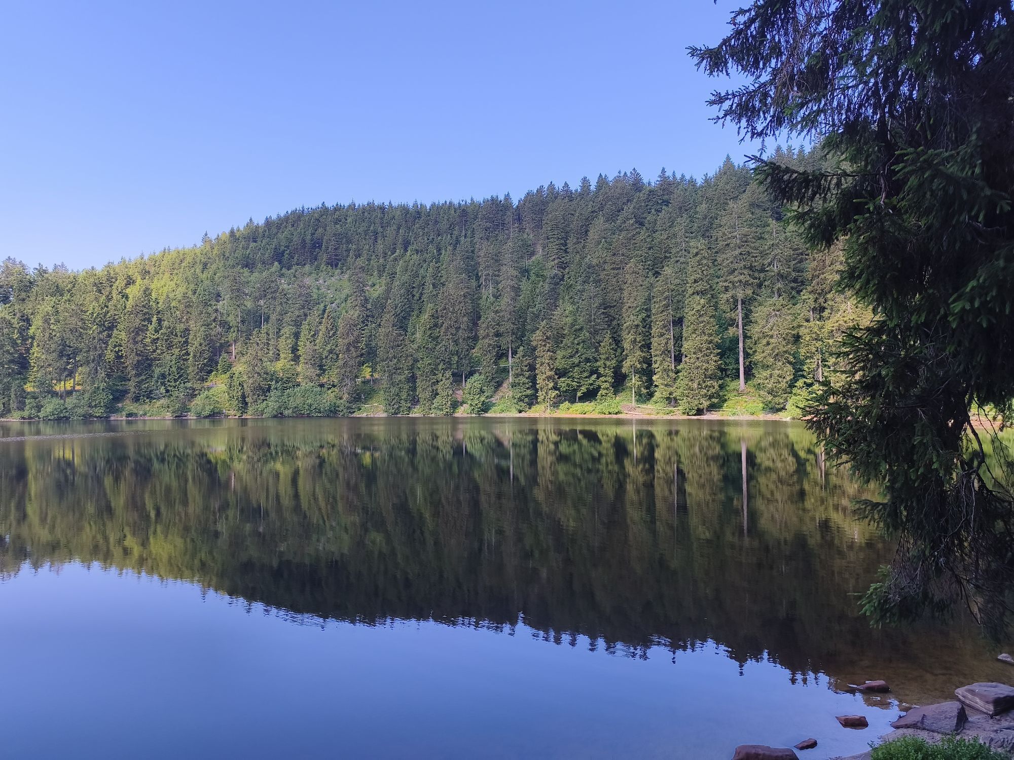
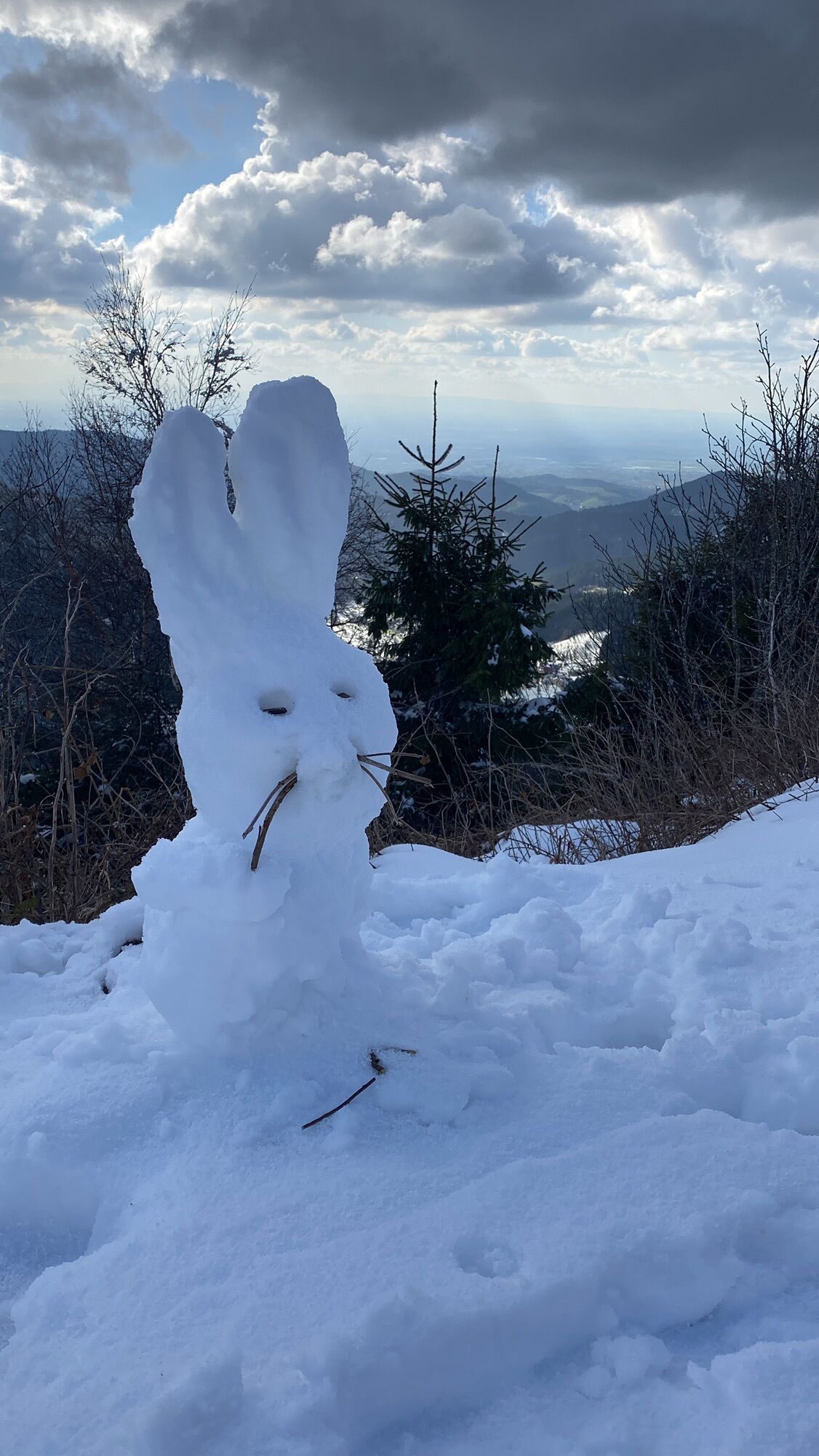
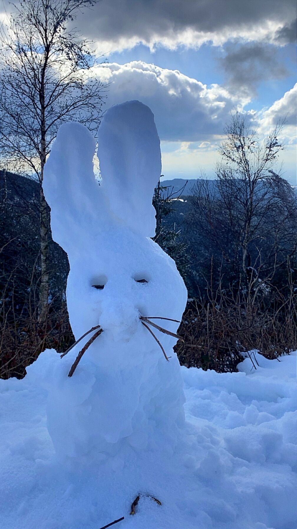
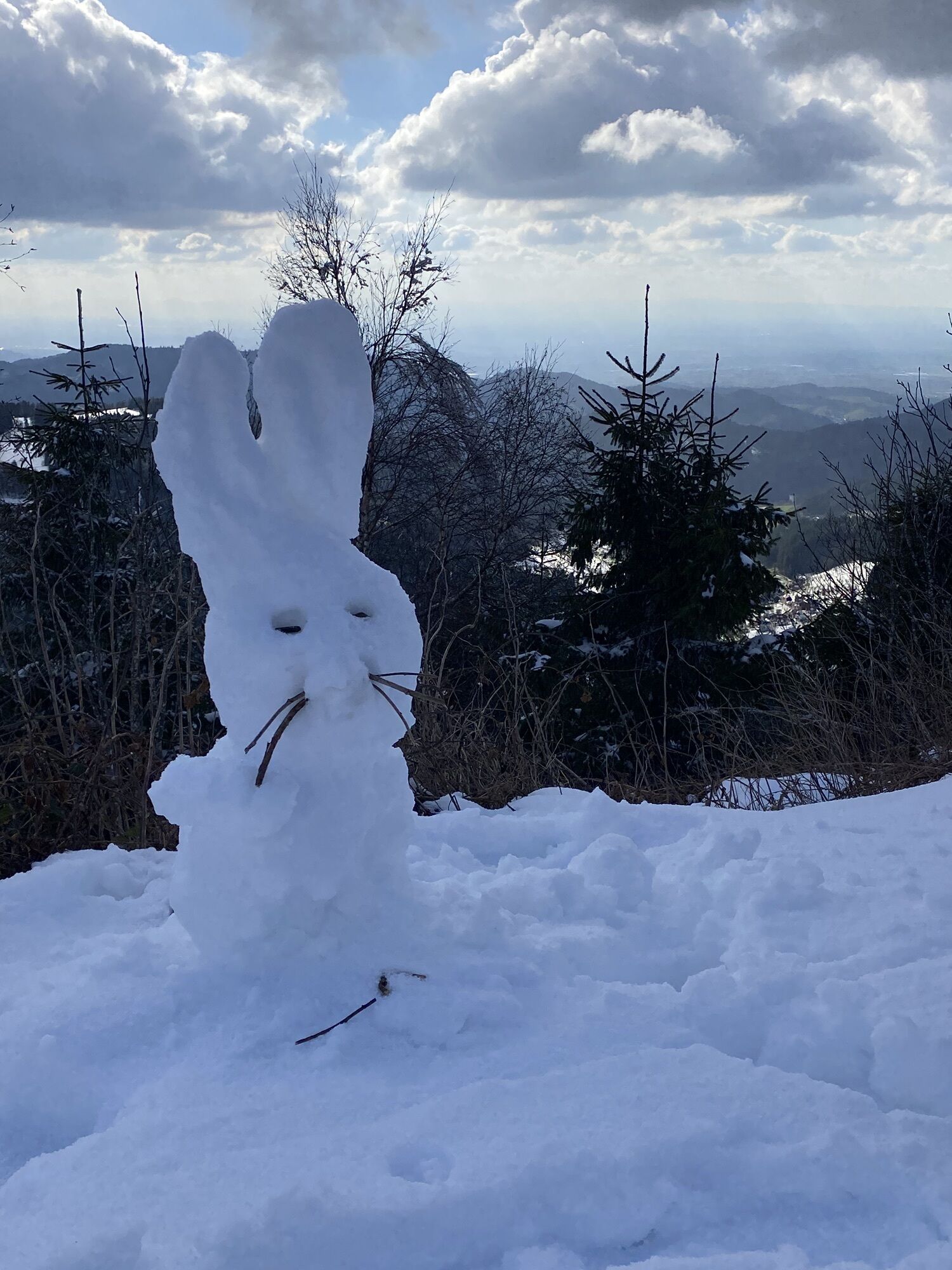
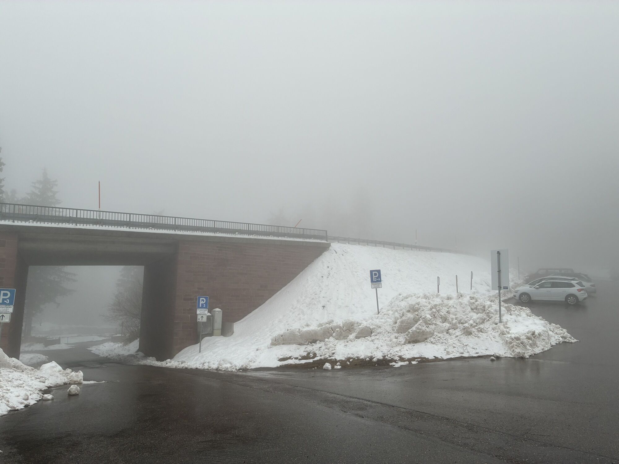
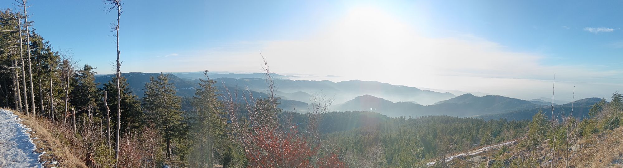
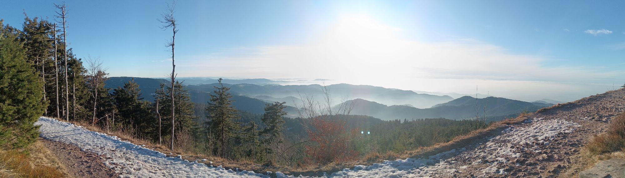
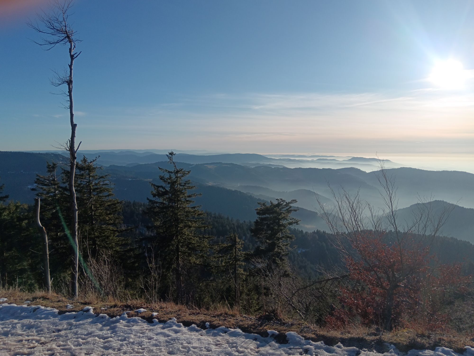
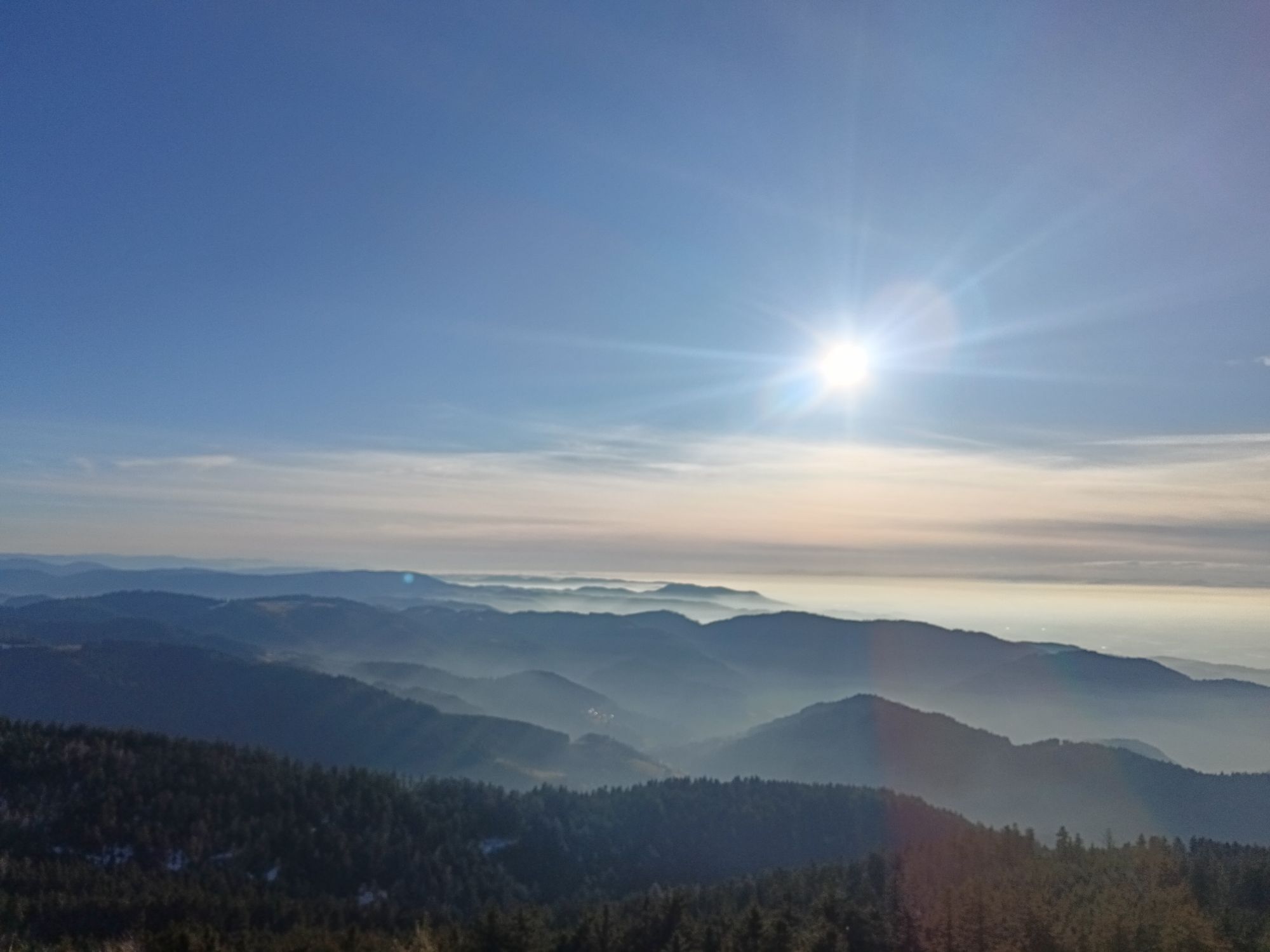
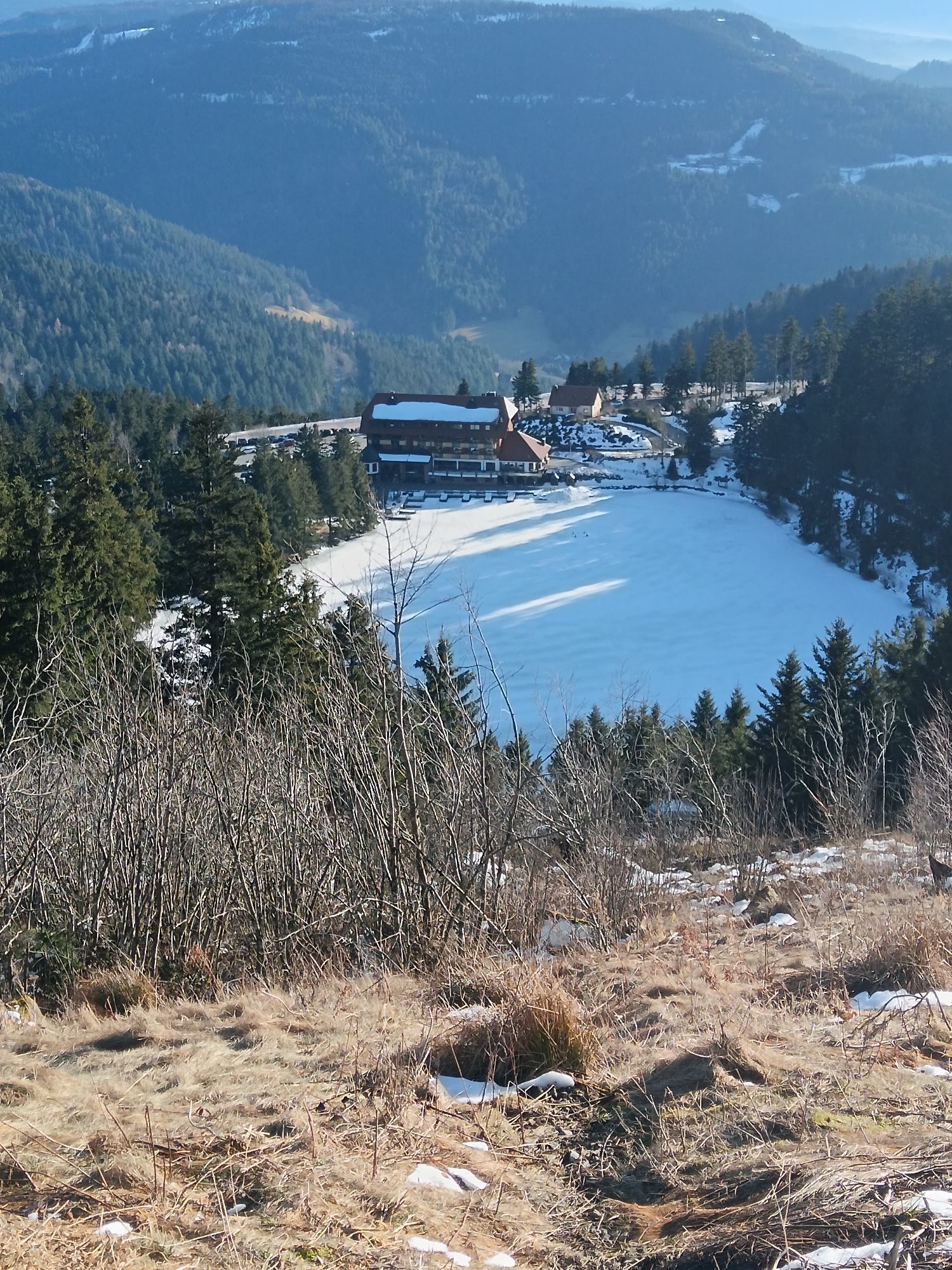
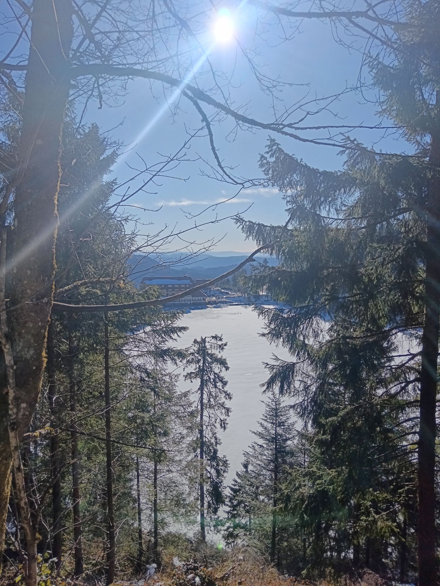
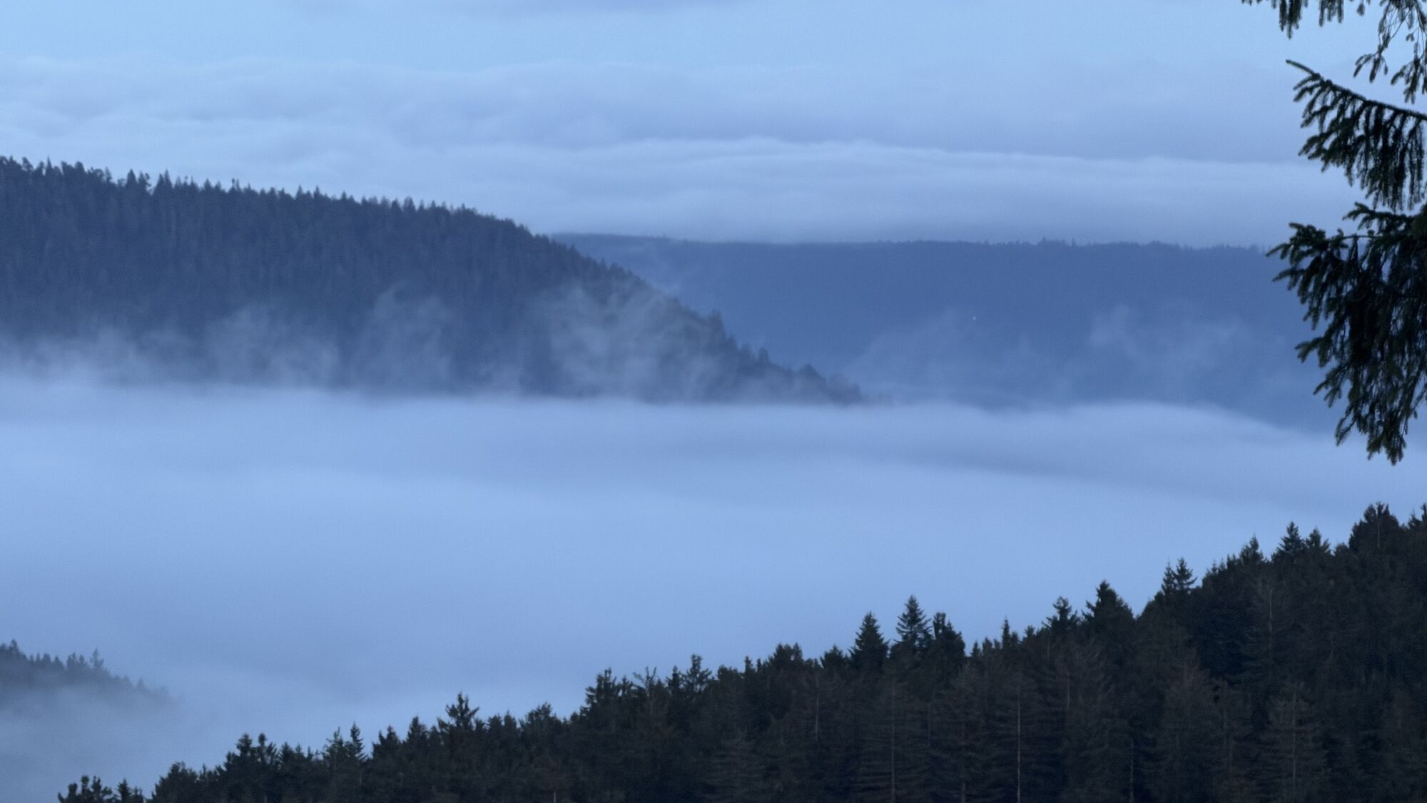
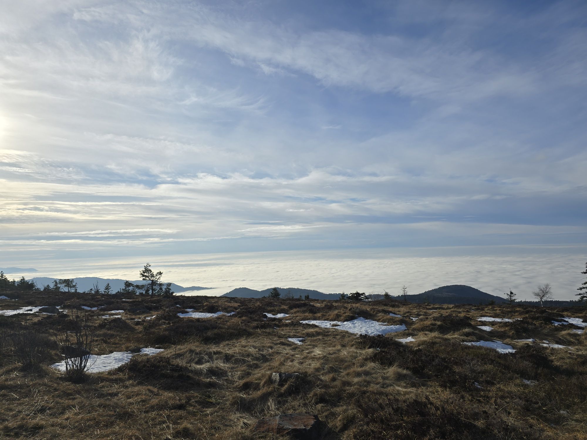
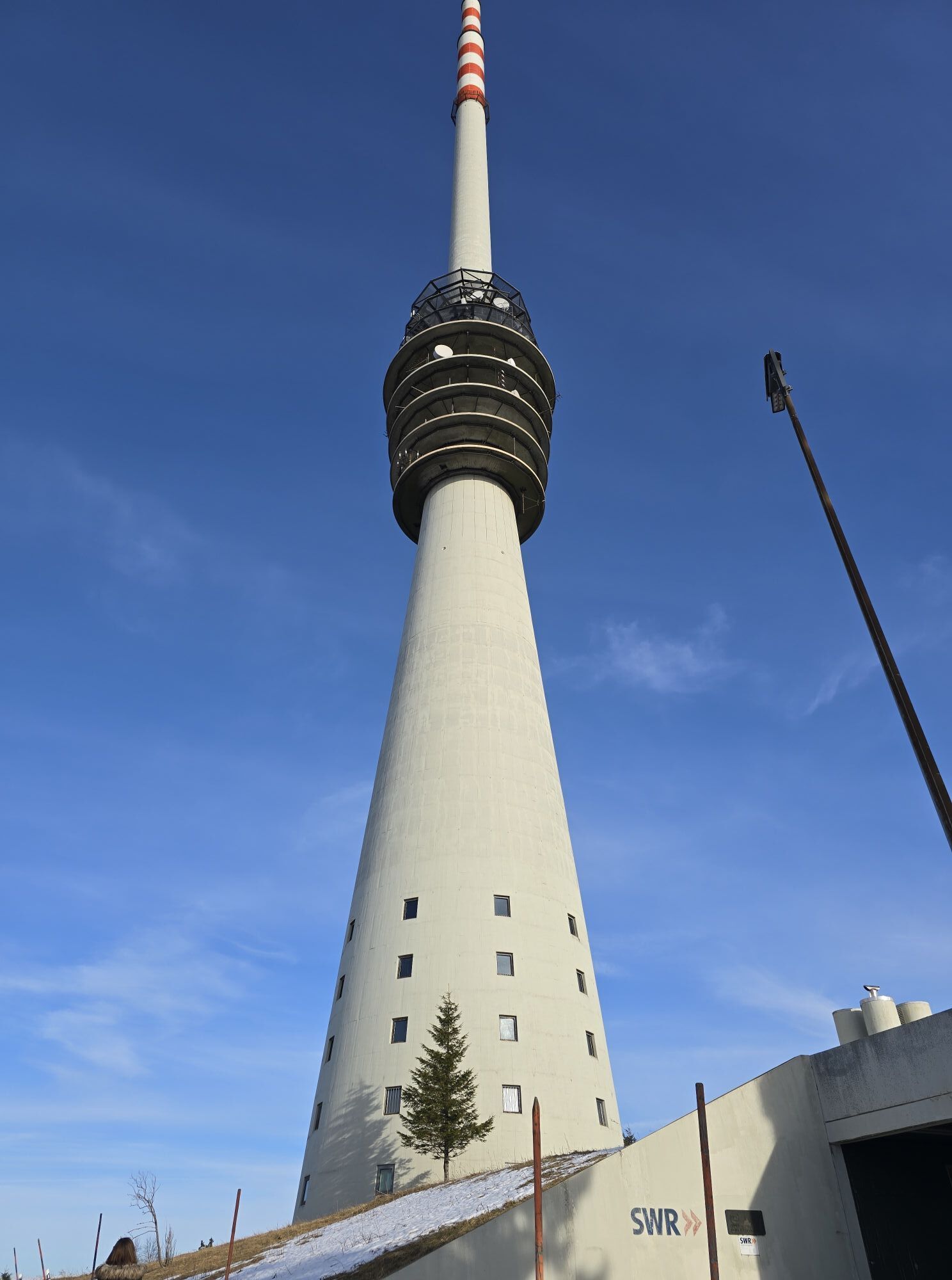
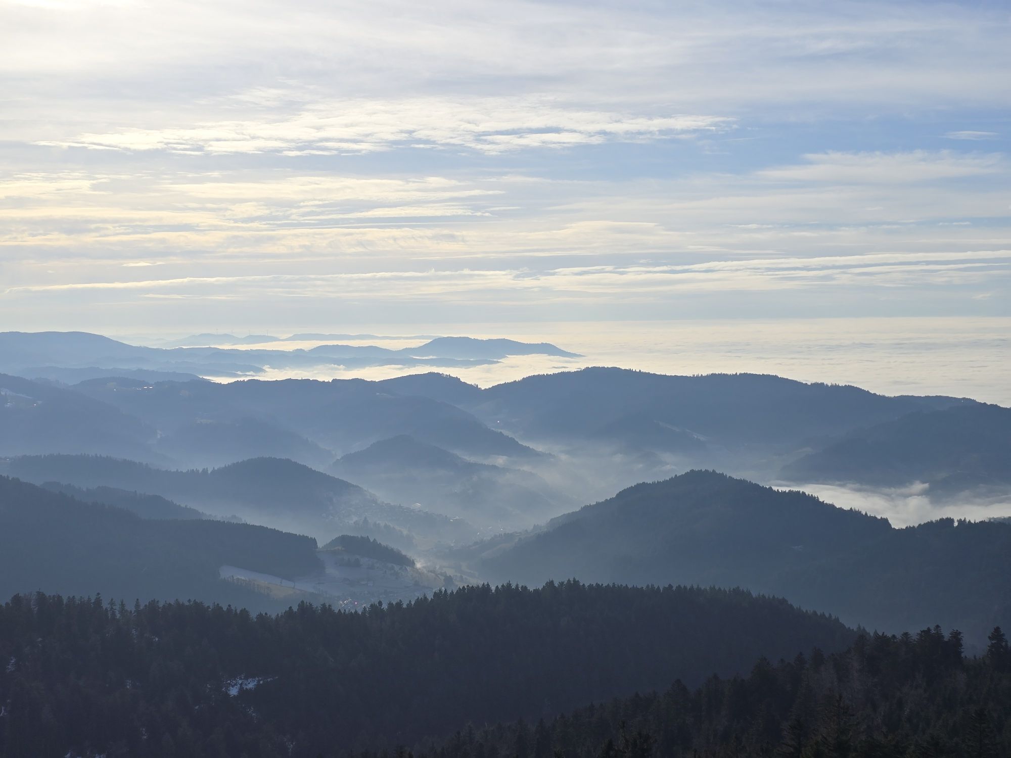
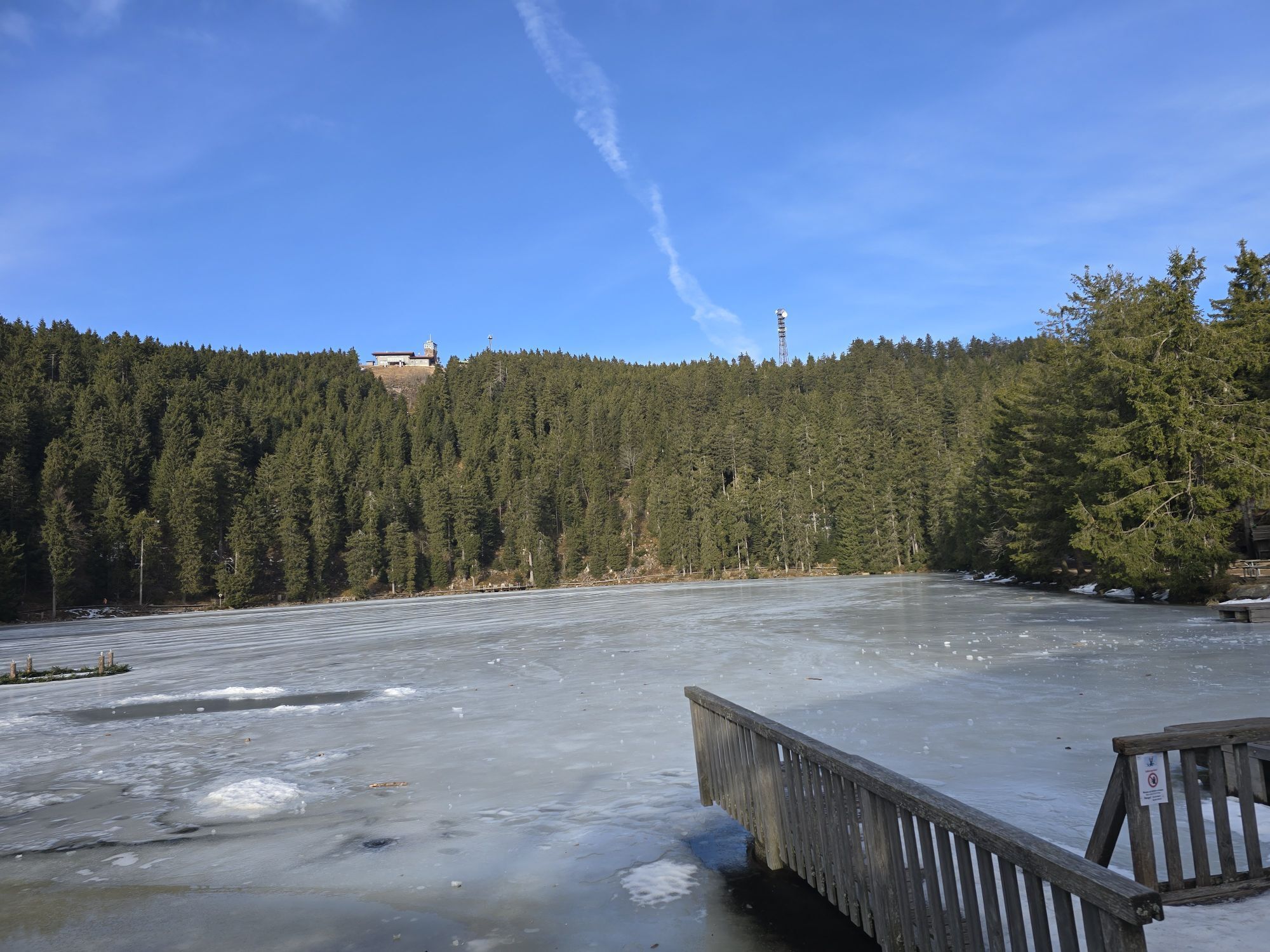
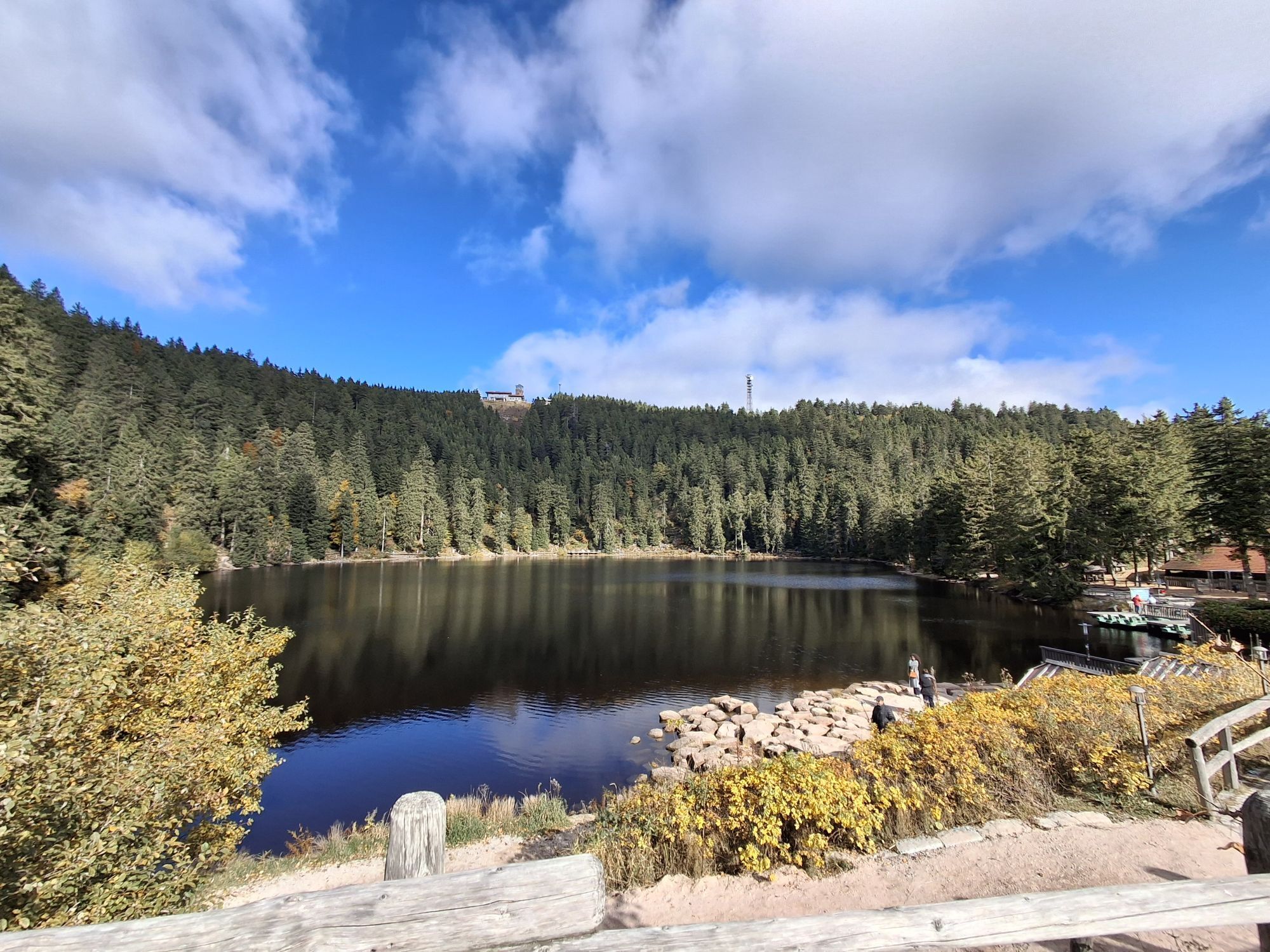
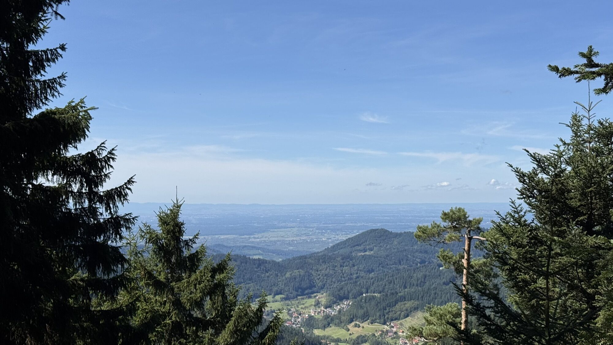
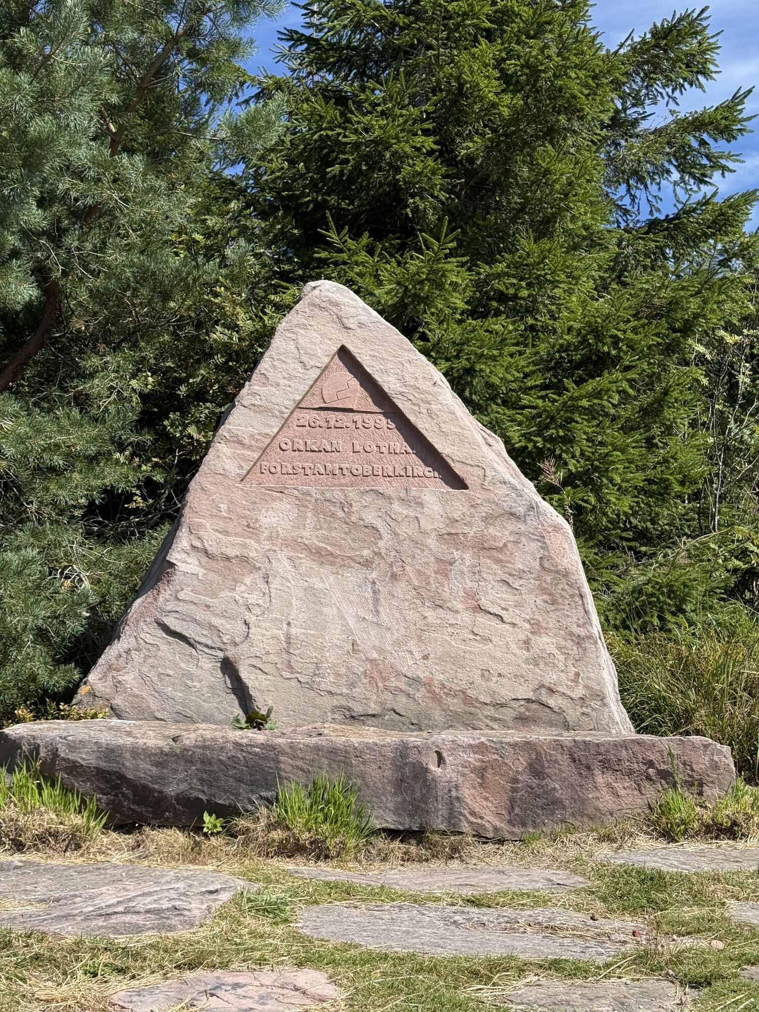
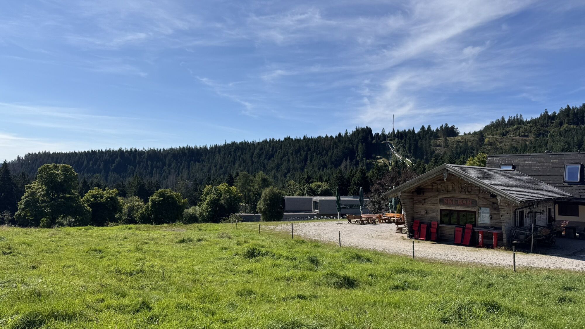
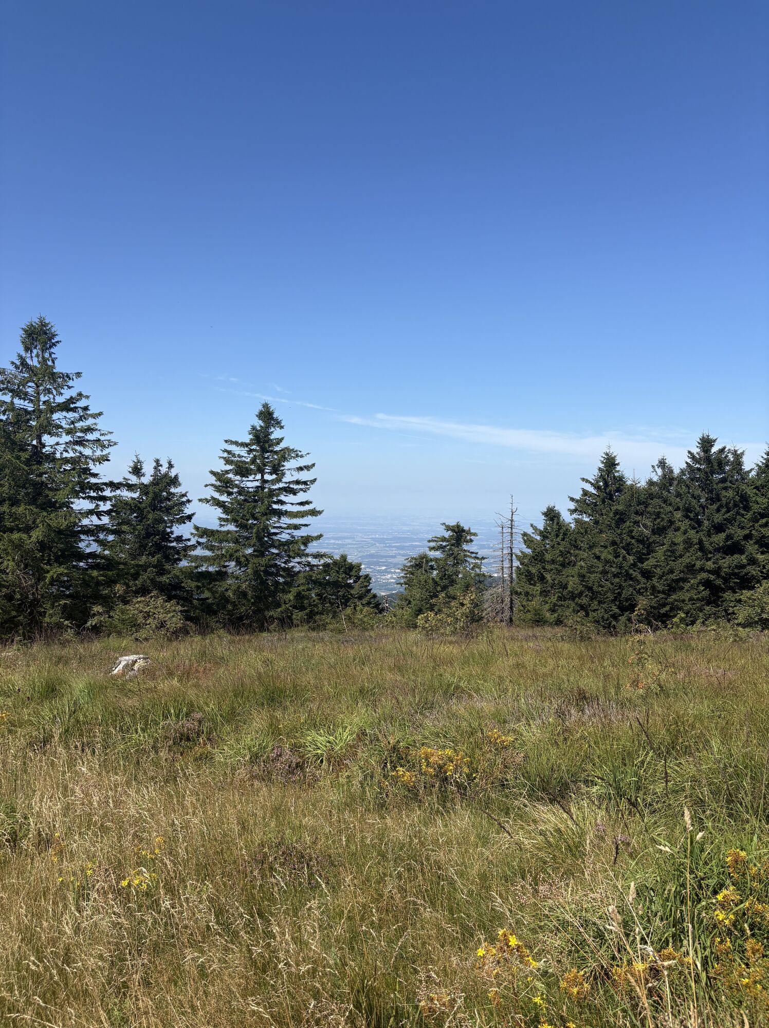
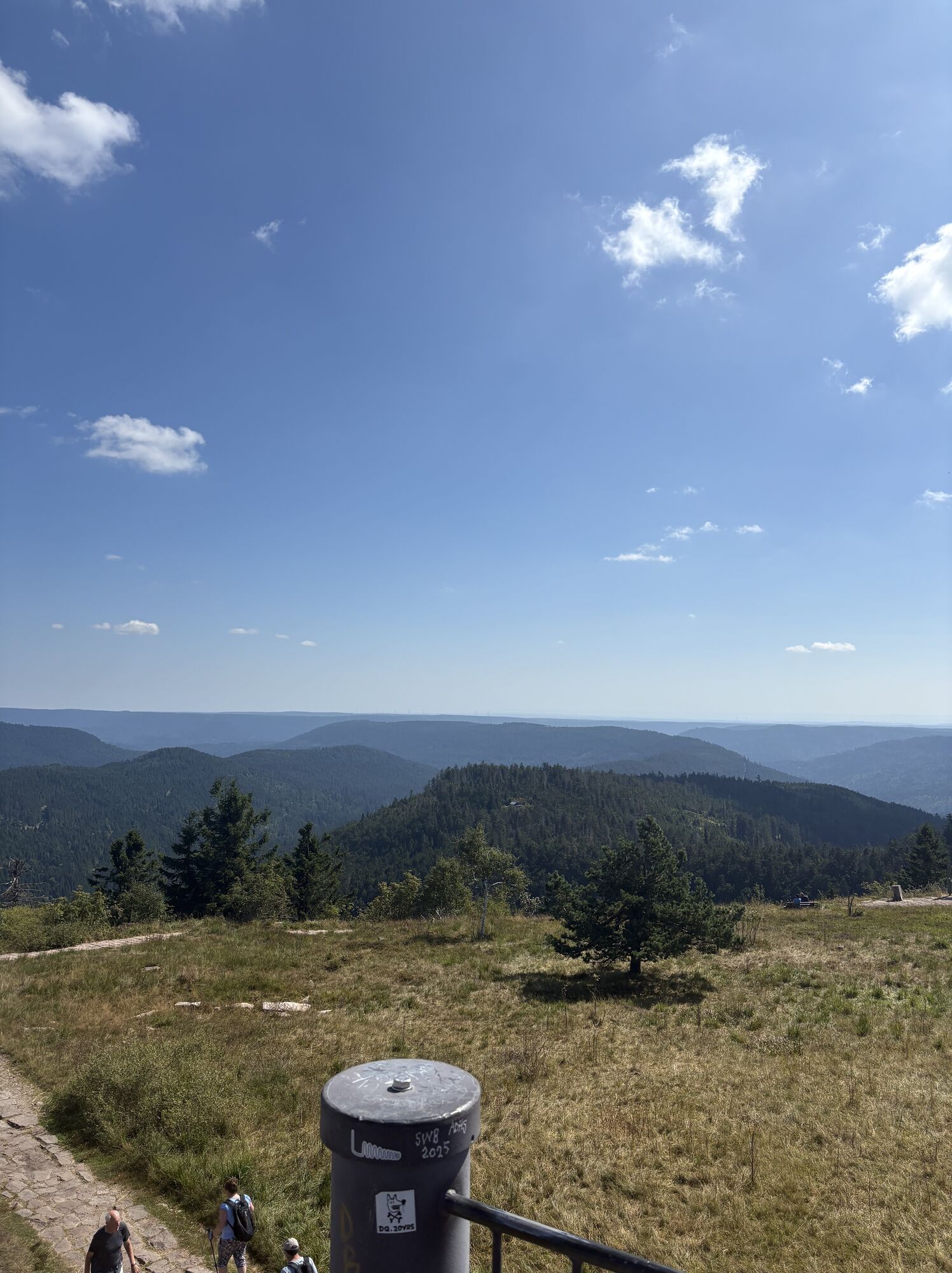


This route circles the entire Seebach valley. It leads us to the highest elevation of the Northern Black Forest, the Hornisgrinde, and offers almost continuous fantastic views all the way to the Rhine...
Popis
This route circles the entire Seebach valley. It leads us to the highest elevation of the Northern Black Forest, the Hornisgrinde, and offers almost continuous fantastic views all the way to the Rhine valley and the Vosges. A rapid descent brings the bikers back to the starting point. There are several opportunities to stop along the route.
Trasa
Herz-Jesu-Kirche
(396 m)
Místo konání bohoslužeb
0.0 km
Ski- und Wanderheim Ochsenstall
(1039 m)
Úkryt
14.3 km
Seibelseckle
(956 m)
Koridor/terén
19.1 km
St. Michaelskapelle
(1037 m)
Místo konání bohoslužeb
20.4 km
Hornisgrinde
(1164 m)
Summit
22.6 km
St. Michaelskapelle
(1037 m)
Místo konání bohoslužeb
26.0 km
Herz-Jesu-Kirche
(396 m)
Místo konání bohoslužeb
39.9 km
Trasa
Hornisgrinde - Panorama route
heavy
Mountainbike
39.95
km
Seebach
(399 m)
Vesnice
0.0 km
Herz-Jesu-Kirche
(396 m)
Místo konání bohoslužeb
0.0 km
Breitenbrunnen
(817 m)
Vypořádání
10.0 km
Bauernschänke
(932 m)
Restaurace
12.5 km
Unterstmatt
(930 m)
Vypořádání
12.5 km
Ski- und Wanderheim Ochsenstall
(1039 m)
Úkryt
14.3 km
Harzbrunnenquelle
(1015 m)
Zdroj:
14.6 km
Seibelseckle
(956 m)
Koridor/terén
19.1 km
Rasthütte Seibelseckle
(959 m)
Restaurace
19.2 km
St. Michaelskapelle
(1037 m)
Místo konání bohoslužeb
20.4 km
Mummelsee
(1036 m)
Koridor/terén
20.5 km
Dieterles Cafe-Restaurant
(1031 m)
Restaurace
20.6 km
Berghotel Mummelsee
(1032 m)
Restaurace
20.7 km
Hornisgrinde
(1164 m)
Summit
22.6 km
Katzenkopf
(1123 m)
Summit
25.4 km
Berghotel Mummelsee
(1032 m)
Restaurace
25.7 km
Dieterles Cafe-Restaurant
(1031 m)
Restaurace
25.7 km
Mummelsee
(1036 m)
Koridor/terén
25.9 km
St. Michaelskapelle
(1037 m)
Místo konání bohoslužeb
26.0 km
Rasthütte Seibelseckle
(959 m)
Restaurace
27.1 km
Seibelseckle
(956 m)
Koridor/terén
27.2 km
Achertal-Blick
(1044 m)
Úhel pohledu
29.8 km
Ruhestein-Schänke
(919 m)
Restaurace
32.6 km
Kernhof
(790 m)
Vypořádání
35.4 km
Seebach
(399 m)
Vesnice
39.9 km
Herz-Jesu-Kirche
(396 m)
Místo konání bohoslužeb
39.9 km
Autor
Poskytuje Sasbachwalden im Schwarzwald
Prohlídku Hornisgrinde - Panorama route zajišťuje outdooractive.com.


Informace o trase
Trasa
Seebach – Breitenbrunnen 11.7 km
The start of the route is at the parking lot at the Mummelseehalle. It goes past the Mummelseehalle towards the church. After 150m at a sharp right angle to the right and 200m further, at the location "Seebach Bohnertshöfe", left towards Schroffen. At the location "Am Schroffen" (SE4, Km 0.8), on the outskirts of Seebach, half-left uphill into the forest towards Bacheck. At the MTB junction SE12 (Km 3.2) straight ahead and at Km 4, at the location "Habelsbach", uphill at a sharp left angle. On the ridge to the right and at the junction OT7 (Km 4.3) half-right to Haus Peduzzi- There (SE13, Km 5.4), cross the district road, half-right into "Schönbüchstraße" and at junctions SE14 and SE15 straight ahead towards Breitenbrunnen. There (LA8, Km 11.6) right about 200m uphill on the country road.Breitenbrunnen – Hornisgrinde 24.2 km
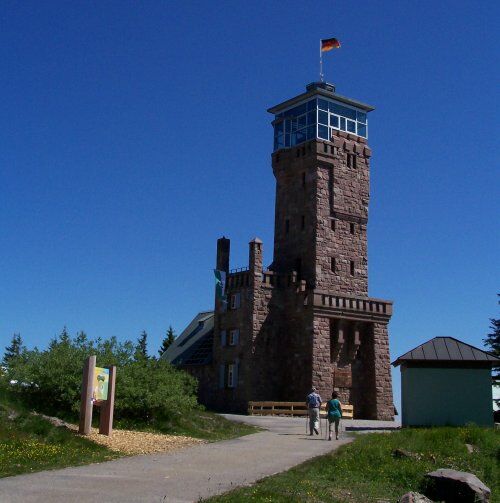
At the height of the wooden hut, left at junction LA10, half-right uphill on the unpaved path towards Unterstmatt. At Km 12.6 cross the B500, 100m further at location "Horngass" (LA11) left and at junction SW39 straight ahead to Unterstmatt. There, at junction SB7 (Km 14.1), at a sharp right angle and at junctions SW38 and SW37 straight ahead to Ochsenstall. At Km 15.8, also at junction SB6 straight ahead and at the lower dance place (Km 17.3) half-right uphill. At junction AC20 (Km 18.3) right on the unpaved path (from Km 19.6 paved again) to Seibelseckle. Here (SE24, Km 20.8), right to Mummelsee. Across the parking lot and behind the Berghof Mummelsee (SE29, Km 22.1) half-right through the barrier on the street uphill to Hornisgrinde. At the Bismarck tower on the Hornisgrinde at Km 24.2 left onto the "boardwalk".Hornisgrinde – Seebach 42.5 km
At the broadcasting tower (Km 24.9) left downhill and at Km 25.8 at junction SW36, at the right hairpin turn, straight ahead on the forest road back to Mummelsee and from there on the known path to Seibelseckle. There (Km 28.6) straight ahead on the "relief path" to Ruhestein. At Km 33.9 shortly before the barrier, half-left on the path and 200m further, right 50m downhill to the nature conservation center. At junction SE21 right to B500 and on it to the left. About 50m further at location "Ruhestein B500", half-right downhill on the forest road. At location "Bei der Acherquelle" straight ahead and at junction SE20 (Km 34.7) left following the forest road to Kernhof. Past this and at Km 36.7 (SE19) right towards Seebach. At Fuchsmichelhof (Km 37.3) straight ahead onto a gravel path that leads at Km 38.9 onto an asphalt road. At Km 40.7 at location "Kleineck" (SE3), right to Seebach. At the town entrance (Km 42) left onto the main road and immediately right to junction SE1. There left, back to the starting point of the route.
Zatím žádné recenze
Webové kamery z prohlídky

Všechny webové kamery na mapě
Nainstaluj si aplikaci zdarma a porovnej si živé záběry z několika míst, než vyrazíš.
Využijte nyní službu „ bergfex “ v aplikaci
Naskenuj QR kód pomocí fotoaparátu
Jakmile je aplikace nainstalována, obsah se otevře přímo. Pokud aplikaci ještě nemáš, budeš přesměrován na stránku, kde si ji můžeš zdarma stáhnout.
Oblíbené prohlídky v okolí
- 3.9
Schnapsbrunnenweg 2
středníTuristika 12.8 km - 4.9
Ottenhöfen - Eichkopf - Karlsruher Grat
středníTuristika 13.7 km - 4.5
Naturgewalten-Tour
Turistika 15.6 km - 4.7
Bannwald-Tour
Turistika 13.3 km - 4.7
Schnapsbrunnenweg 1
světloTuristika 7.45 km - 4.7
Ottenhöfen - Mühlenweg
středníTuristika 13.4 km - 2.7
Genießerpfad zum Panoramastüble
Turistika 10.6 km - 4.5
Lautenbacher Hexensteig
heavyTuristika 15.3 km - 4.4
Seebach - Genießerpfad Mummelsee-Hornisgrindepfad
středníTematická stezka 6.70 km - 4.0
Gertelbacher Wasserfälle
heavyTuristika 18 km

Pěší turistika a stopování

Více než 550.000 návrhů výletů, podrobné mapy a intuitivní plánovač tras dělají z aplikace nezbytnou výbavu pro všechny milovníky přírody.

Nenechte si ujít nabídky a inspiraci pro vaši příští dovolenou
Přihlaste se k odběru newsletteru
Chyba
Došlo k chybě. Zkuste to prosím znovu.Děkujeme za vaši registraci
Vaše e-mailová adresa byl přidán do poštovního seznamu.
Zájezdy po celé Evropě
Rakousko Švýcarsko Německo Itálie Slovenia Francie Nizozemsko Belgie Polsko Lichtenštejnsko Česko Slovensko Španělsko Chorvatsko Bosna a Hercegovina Lucembursko Andorra Portugal Iceland United Kingdom Ireland Greece Albania North Macedonia Malta Norway Montenegro Moldova Kosovo Hungary San Marino Romania Estonia Latvia Belarus Cyprus Lithuania Serbia Bulgaria Monaco Denmark Sweden Finland





