







Stöckerkopf cross-country route
Úroveň obtížnosti: S2
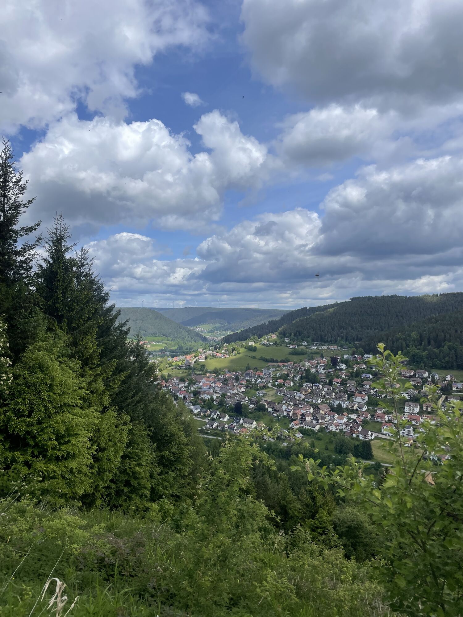
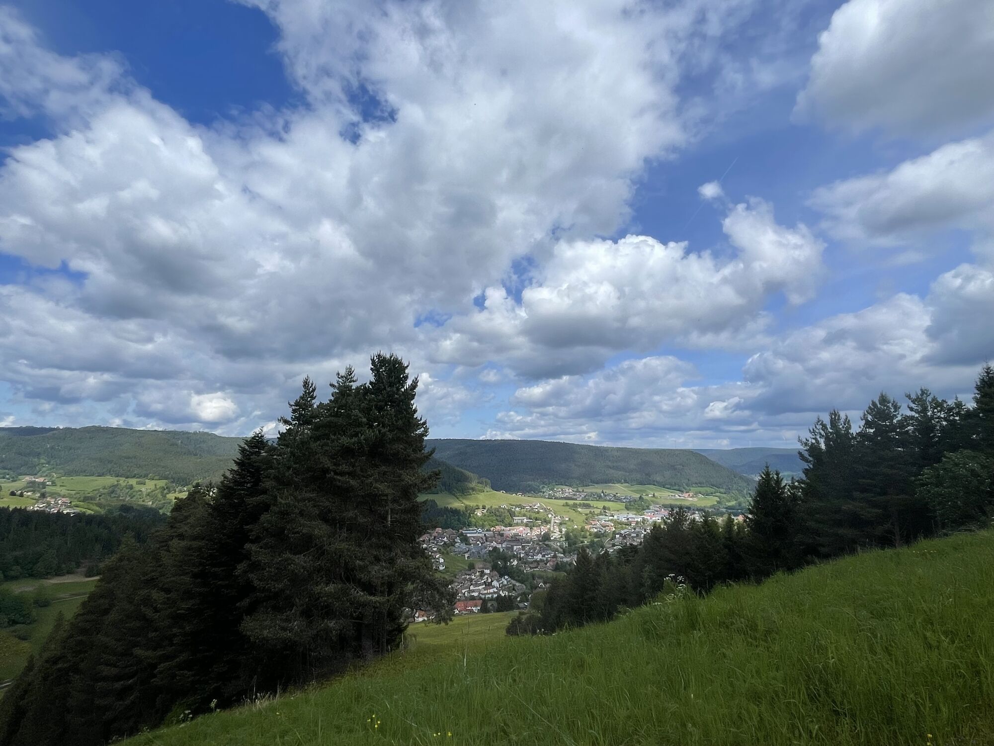
At the wildlife enclosure, the signposted route initially ascends gently towards the chairlift. After about 1.5 km, it goes steeply uphill on a wide forest path to Stöckerkopf with a magnificent view over...
At the wildlife enclosure, the signposted route initially ascends gently towards the chairlift. After about 1.5 km, it goes steeply uphill on a wide forest path to Stöckerkopf with a magnificent view over Baiersbronn. Then the signposted route continues on a wide forest path, ascending slightly before turning left onto a challenging single trail. We follow this trail towards Wasenhütte. In varied hilly terrain, the path continues through the woods to Metzenberg. There, the most demanding part begins in the so-called “Riesen” (formerly wooden chutes) with a steep descent. This section is only rideable for experienced mountain bikers over a distance of about 700 m. (A bypass on an unmarked path is possible). After that, the route continues gently downhill on wider forest roads back to the starting point.


Ano
Please check in advance at the current trail closures or at the Baiersbronn hiking information center whether the route is open. Tel.: +49 7442 8414-66.
In the national park area, especially in winter, there are seasonal trail closures in wildlife protection zones. In particularly sensitive areas, these can extend beyond winter. In case of a closure, a detour is signposted.
From the S-Bahn stop Bahnhof Baiersbronn, the road leads into the Sankenbach valley up to the Wildgehege car park at the end.
Baiersbronn wildlife enclosure in the Sankenbach valley.
S2
Získejte přehled
Vždy živě na místě s více než 9 500 webkamerami. bergfex Jako uživatel Pro si nyní můžete zobrazit odpovídající webové kamery pro mnoho prohlídek v aplikaci prohlídky z. Můžete si tak přímo prohlédnout aktuální podmínky.
Oblíbené prohlídky v okolí
-
4.7
Kniebiser Heimatpfad - Wandern mit Genuss
světloTuristika 9.07 km -
4.2
Sankenbachwasserfälle und Glasmännlehütte am Stöckerkopf
středníTuristika 12.8 km -
4.5
Naturgewalten-Tour
Turistika 15.6 km -
5.0
Bannwald-Tour
Turistika 13.3 km -
4.8
Bad Peterstal-Griesbach - Himmelssteig für "Höhenverliebte"
heavyTuristika 10.3 km -
4.6
Bad Rippoldsau - Cafe & Restaurant Zum Schlüssel - Klösterle - Burgbachwasserfall
středníTuristika 11.2 km -
5.0
Kniebis-Sankenbachwasserfälle-Sankenbachsee
středníTuristika 7.98 km -
4.0
Eiszeit-Tour
Turistika 11.7 km -
2.6
Genießerpfad zum Panoramastüble
Turistika 10.6 km -
Über die Alexanderschanze zum Ellbachsee
Turistika 11.1 km
Pěší turistika a stopování


Nenechte si ujít nabídky a inspiraci pro vaši příští dovolenou
Vaše e-mailová adresa byl přidán do poštovního seznamu.





