







Wedge trail
Úroveň obtížnosti: S2
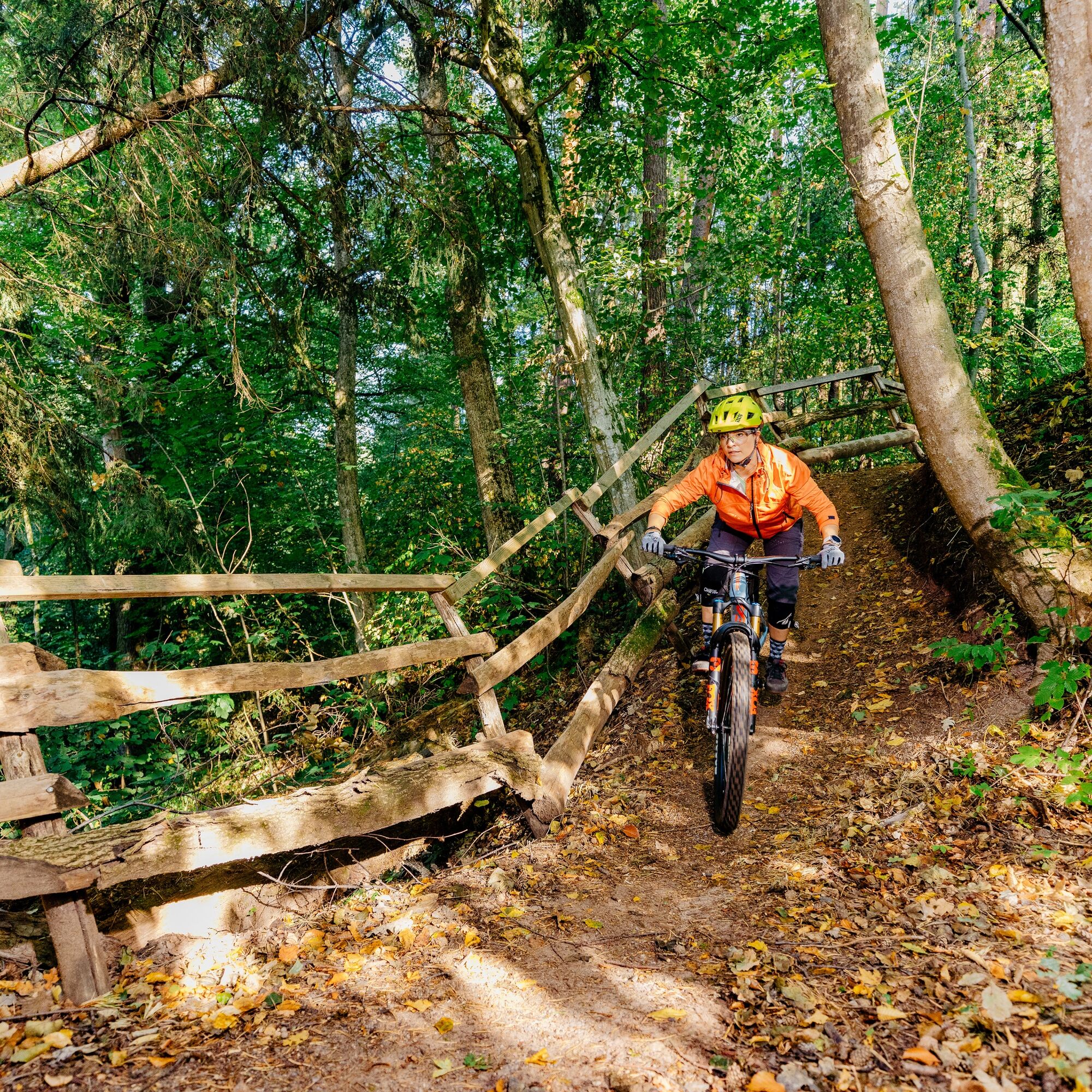
The Keilertrail is a compact mountain bike trail that runs above Ebersbach an der Fils and ensures maximum flow over a short distance.
It starts on Königsteiner Straße before the trail plunges into the...
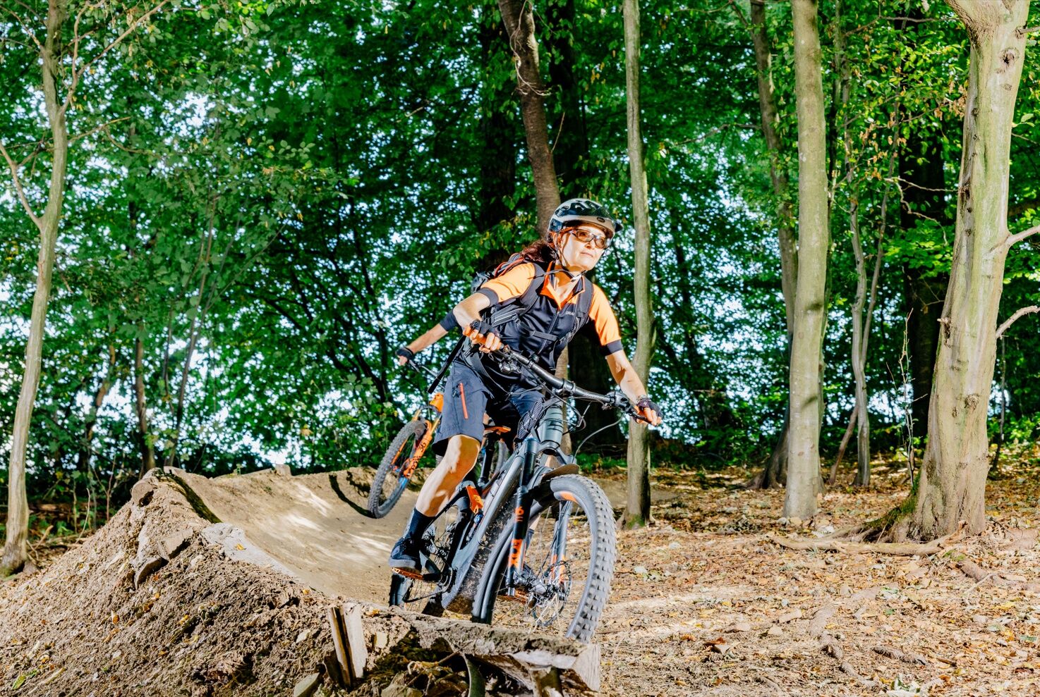
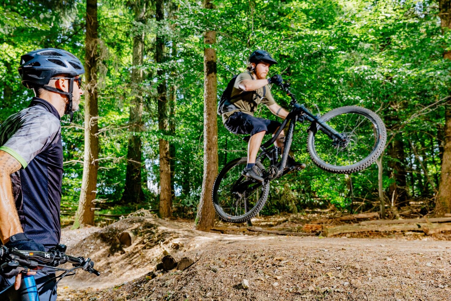
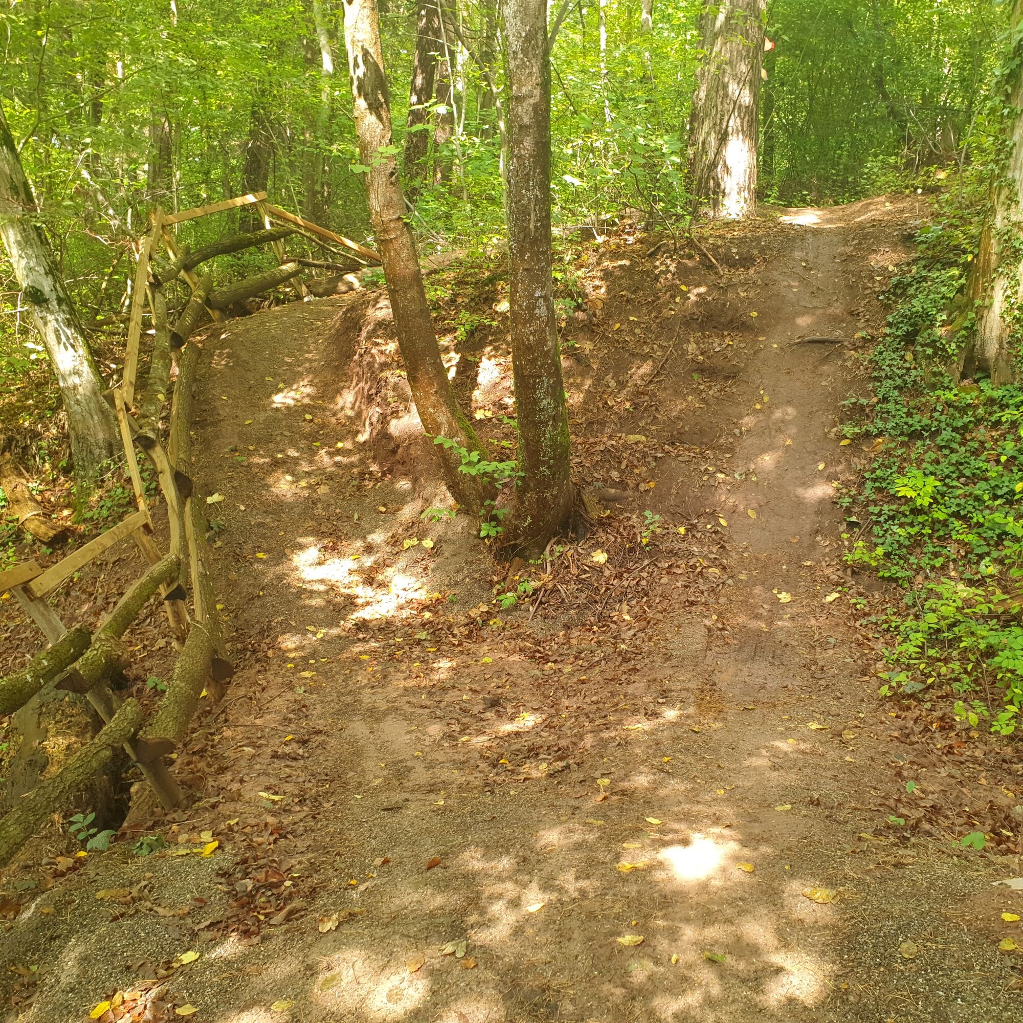
It starts on Königsteiner Straße before the trail plunges into the forest passages and delights with playful sections. The characteristics of the trail are based on the flow trail principle: even gradient, good surface and elements that both beginners and more experienced riders can enjoy. The course is classified as an S2 trail and therefore remains sporty without becoming unnecessarily technical.
Signs along the route provide orientation and overtaking is possible at suitable points. Safety instructions are displayed at the start.


THE BOARS SHOW THE WAY - ALWAYS FOLLOW THE TRAIL
Blue boars = easy Red boars = difficultAt the starting point.
S2
Oblíbené prohlídky v okolí
-
4.9
Lion Trail "Staufer Loop" — Following in Barbarossa's Footsteps Against a Dreamlike Backdrop
středníTuristika 11.3 km -
5.0
Lion trail "Berta-Hörnle-Tour" - castle stories in a dreamlike setting
heavyTuristika 14.7 km -
5.0
Boßler Round
středníTuristika 8.59 km -
4.5
Löwenpfad "Schloss-Filseck Loop" — Castle Tales and Lake Dreams
světloTuristika 3.97 km -
5.0
Löwenpfad "Spielburg Loop" - Around Mount Hohenstaufen
světloTuristika 3.53 km -
Mills & Lakes Route Adelberg
světloTuristika 9.56 km -
Hohenstaufen Castle Loop Trail
středníTuristika 12.9 km -
Häringen
středníTuristika 8.54 km -
Kaiser Barbarossa circular route
středníTuristika 13.6 km -
Bärentobel Loop
středníTuristika 6.37 km
Pěší turistika a stopování


Nenechte si ujít nabídky a inspiraci pro vaši příští dovolenou
Vaše e-mailová adresa byl přidán do poštovního seznamu.





