







MTB trail weekend Baiersbronn-Sasbachwalden-National Park region

Úroveň obtížnosti: S2

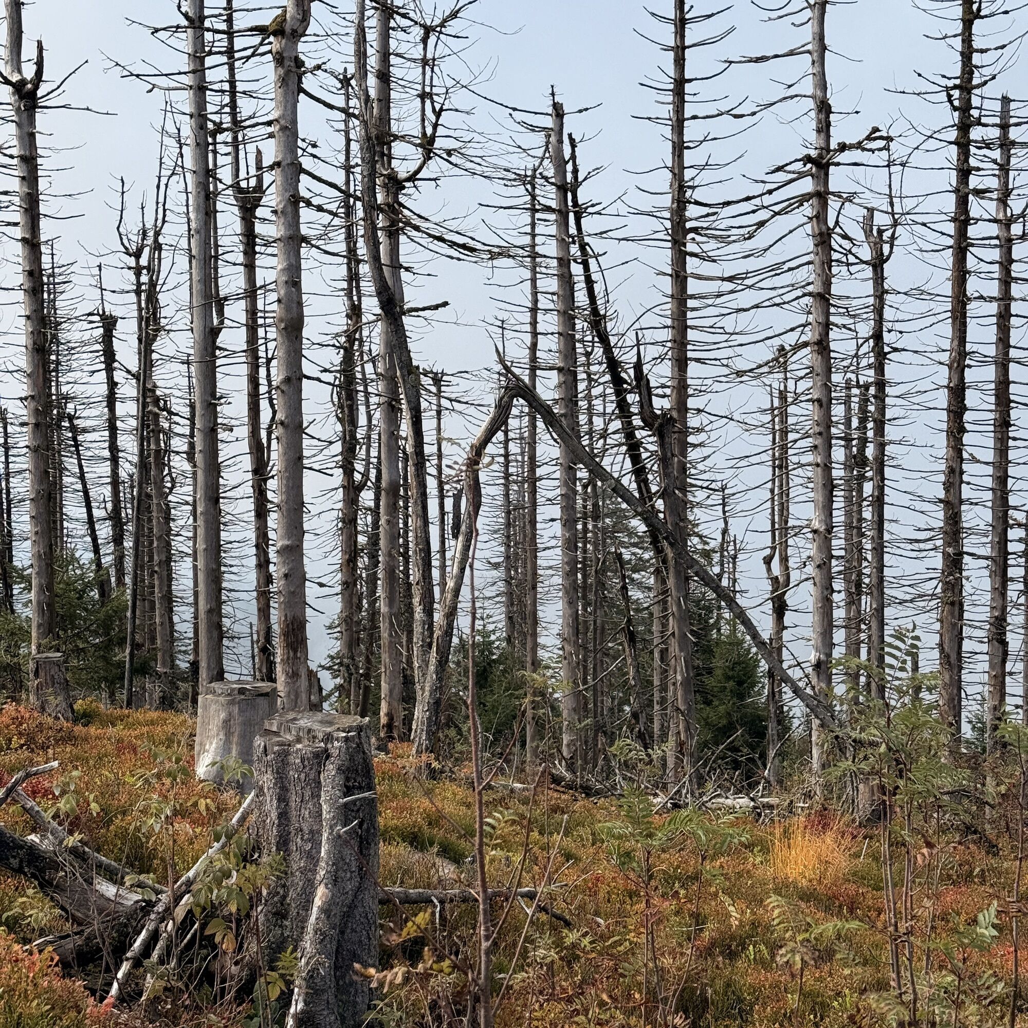
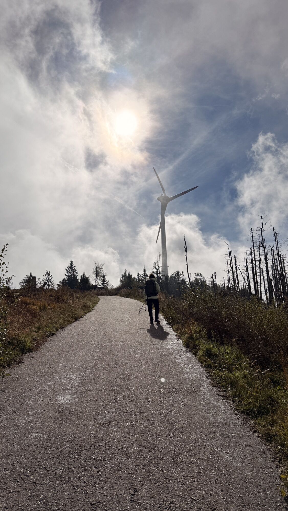
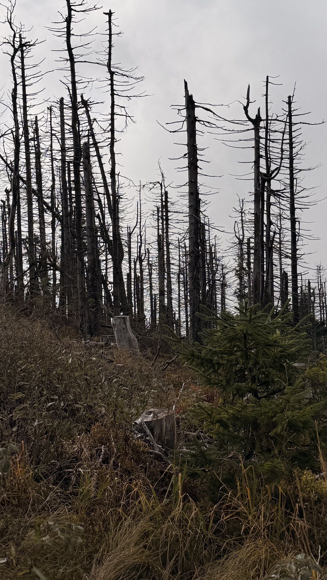
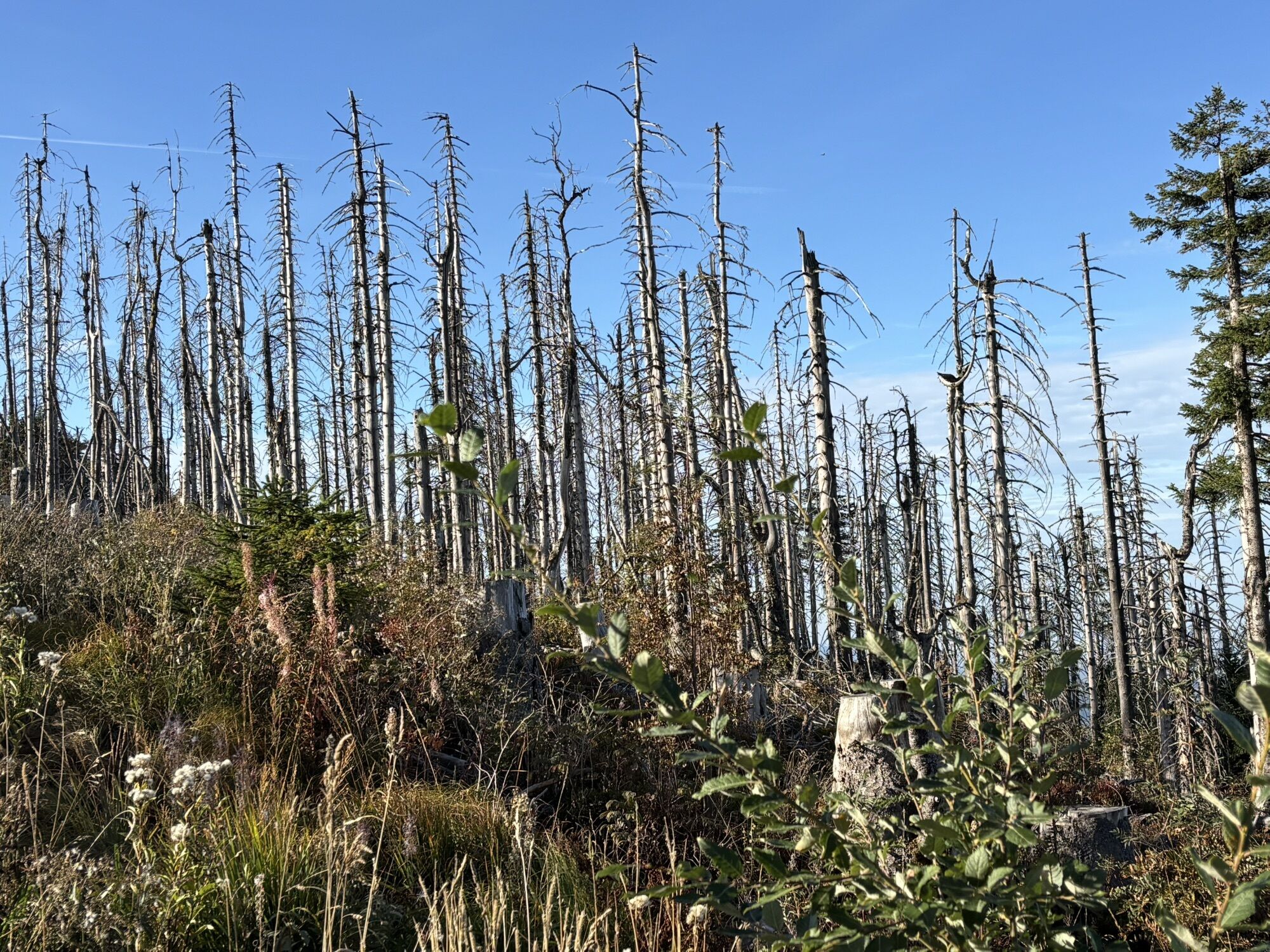
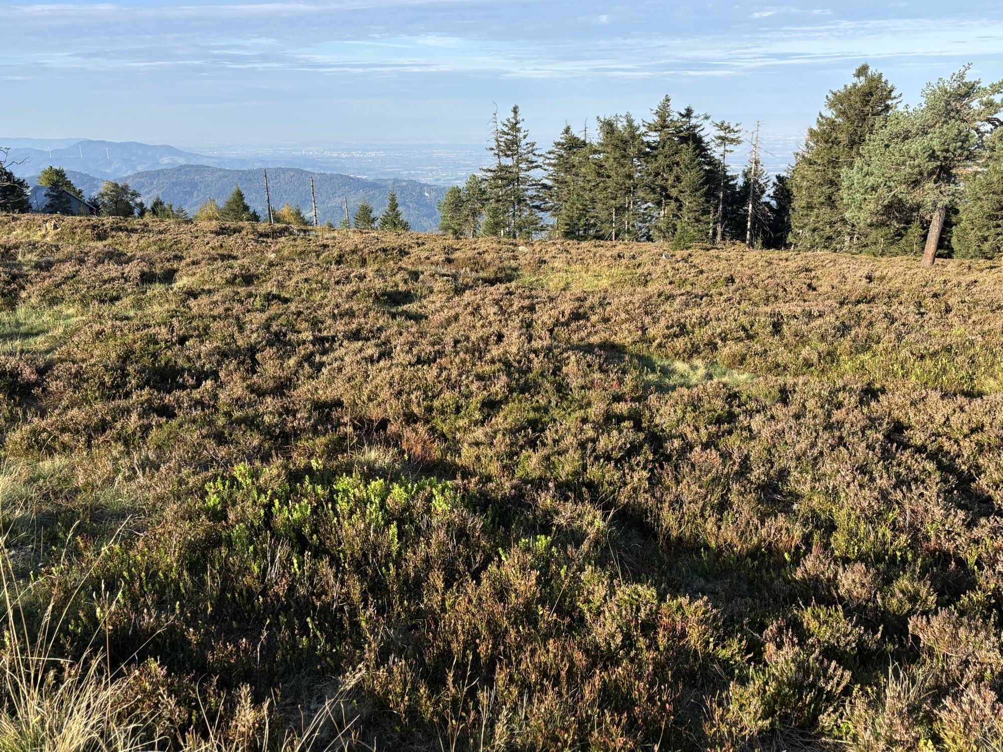
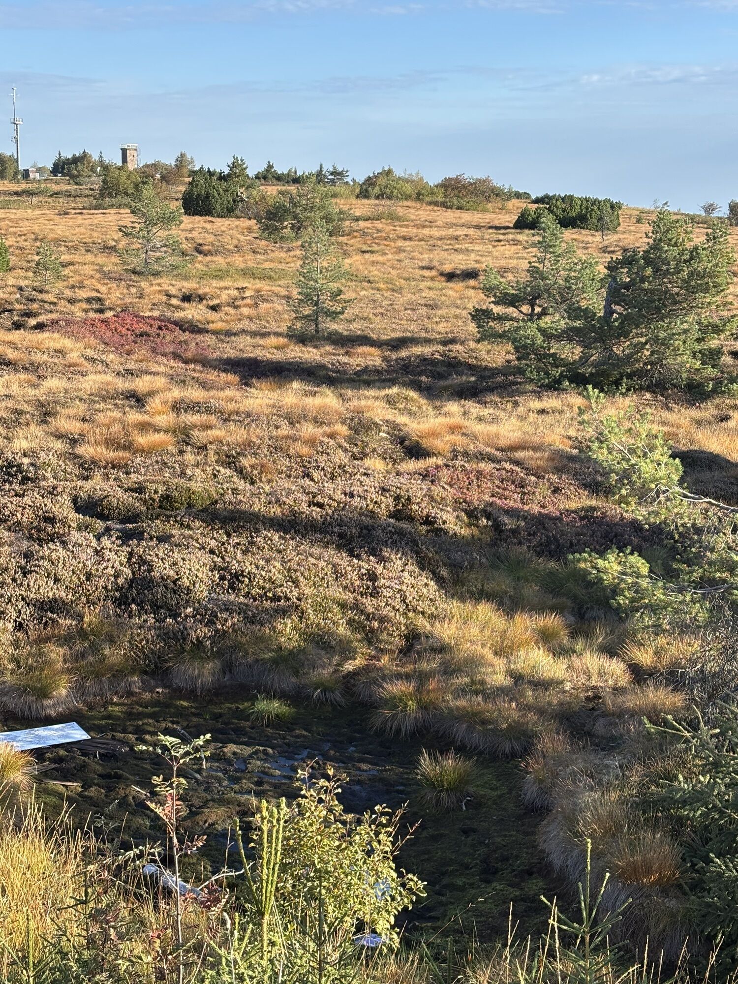
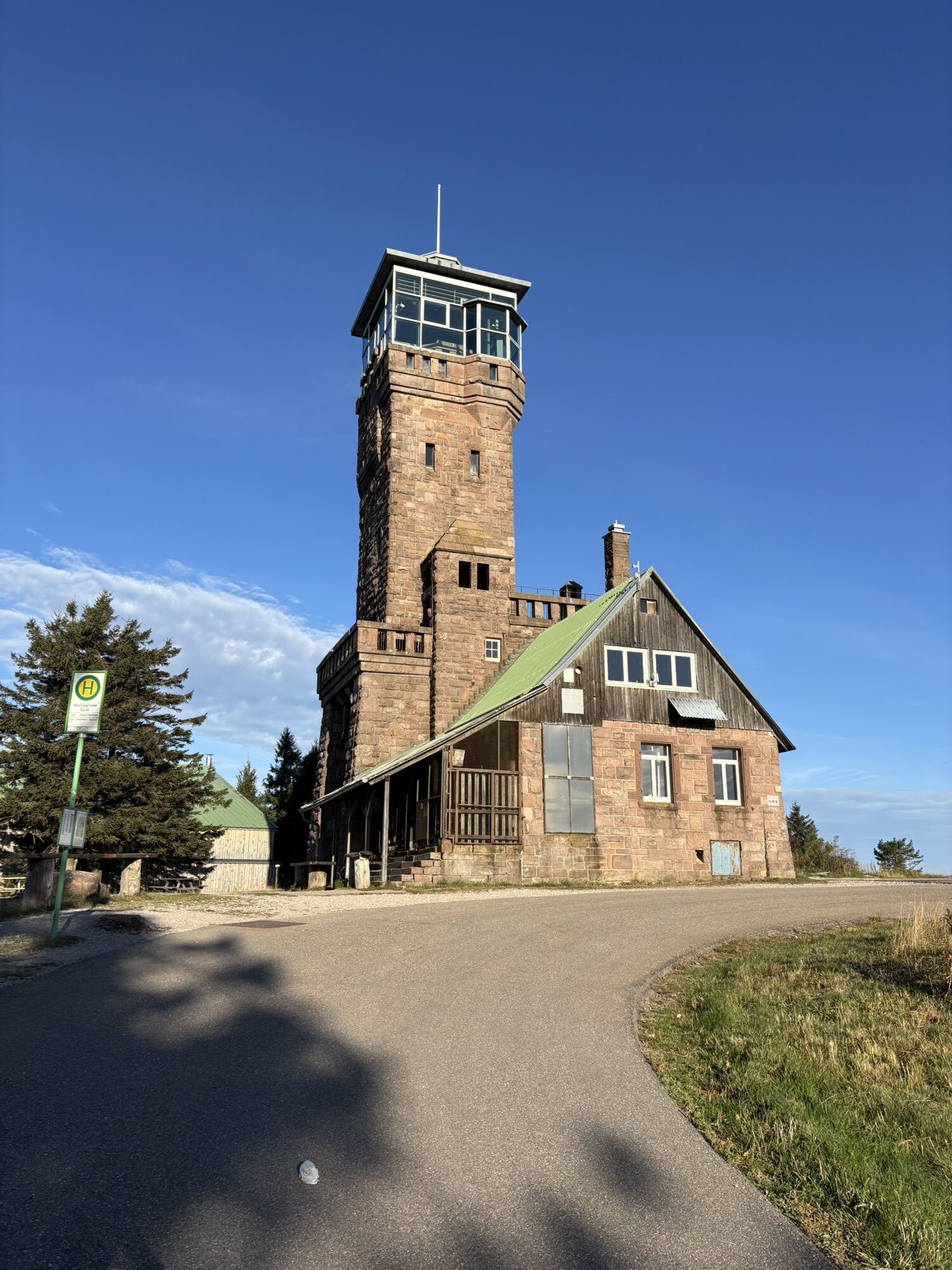
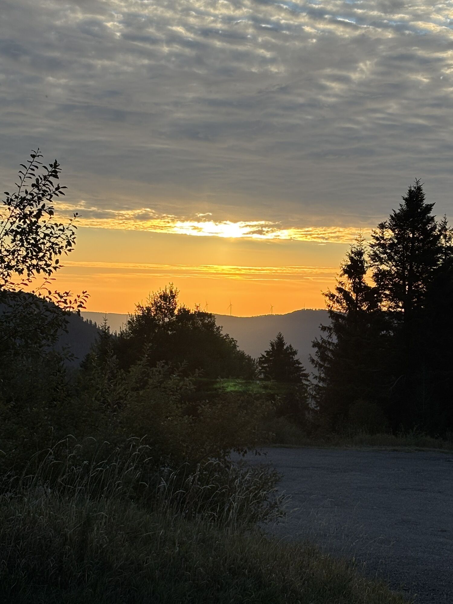
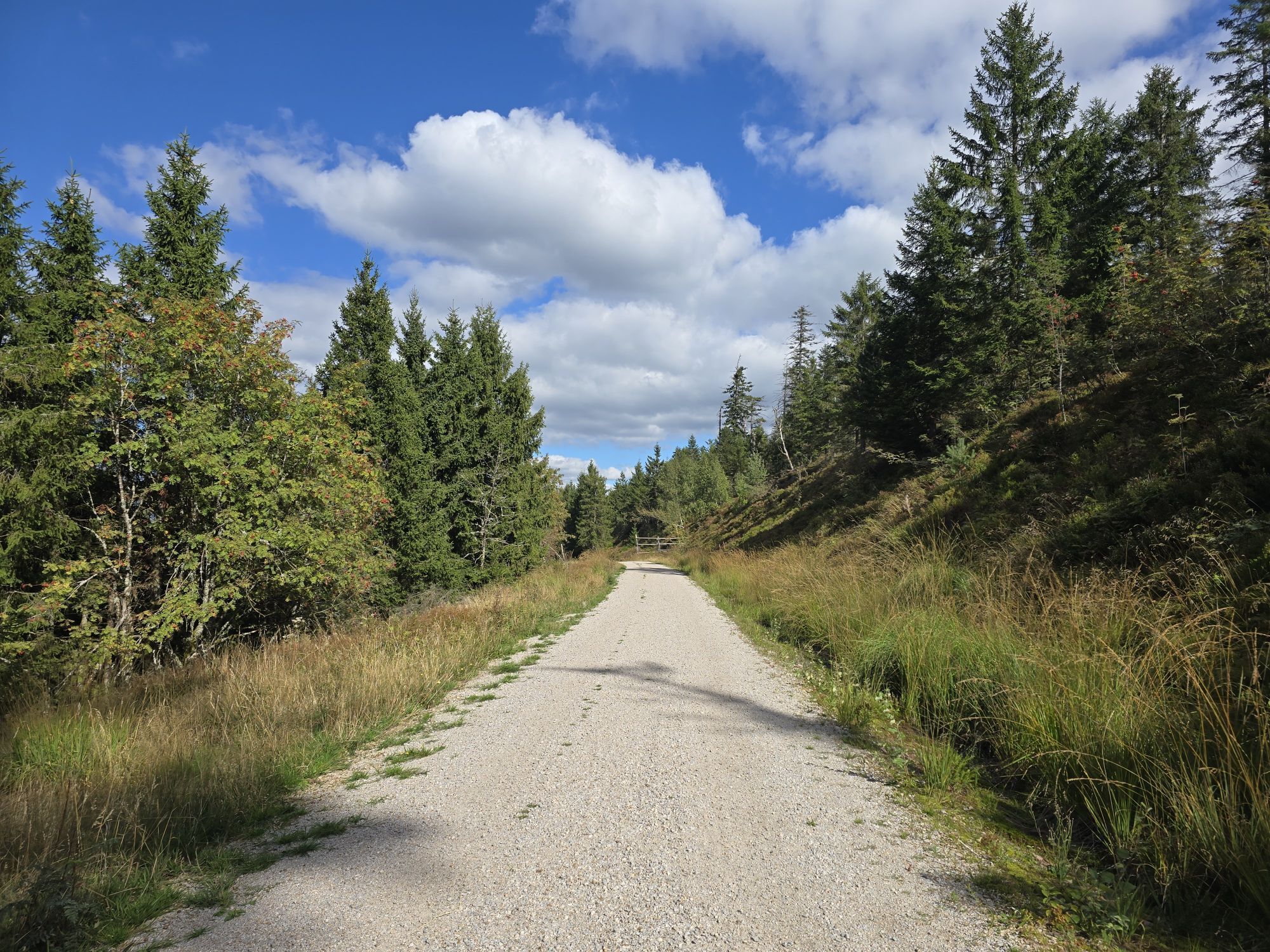
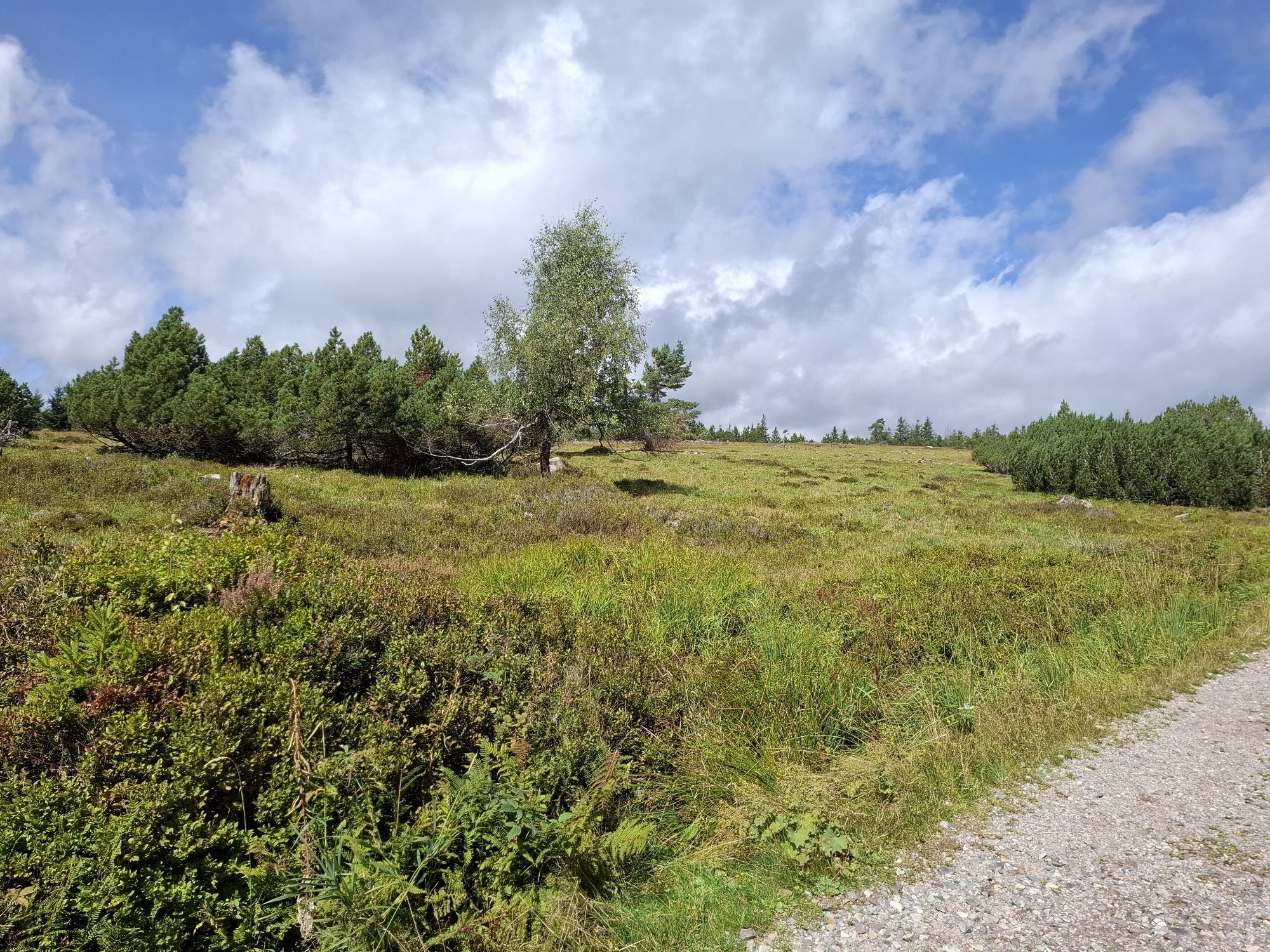
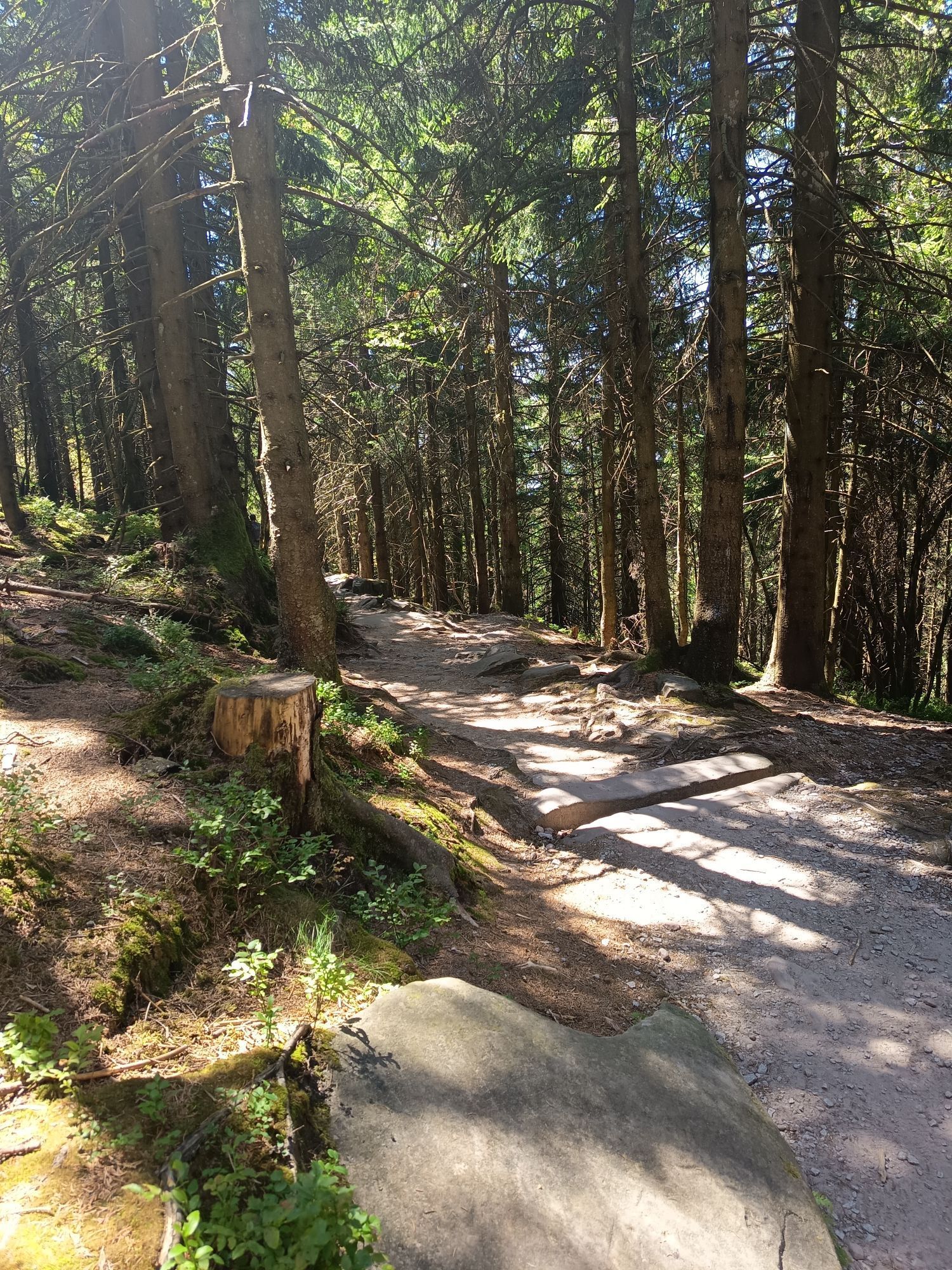
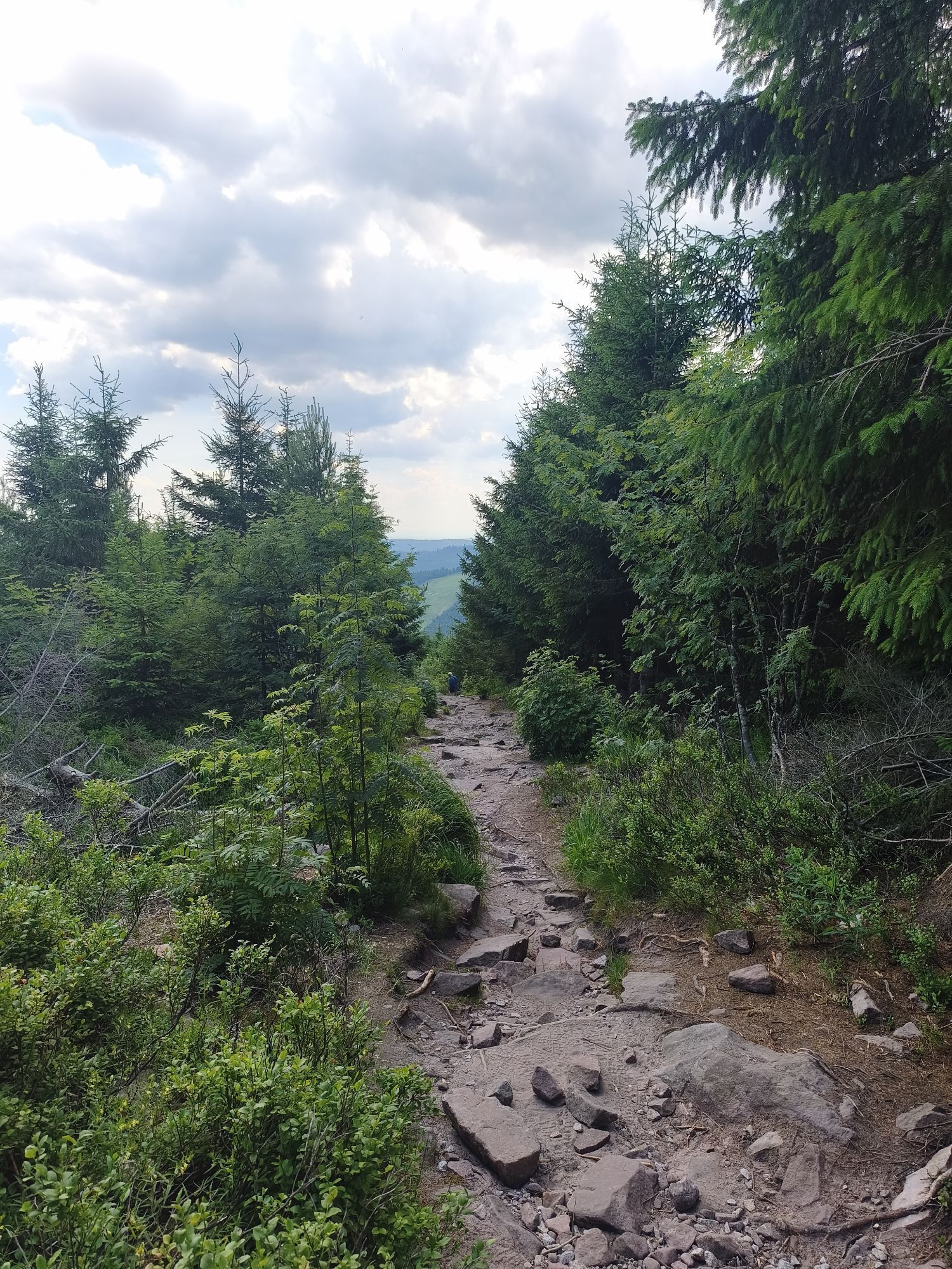
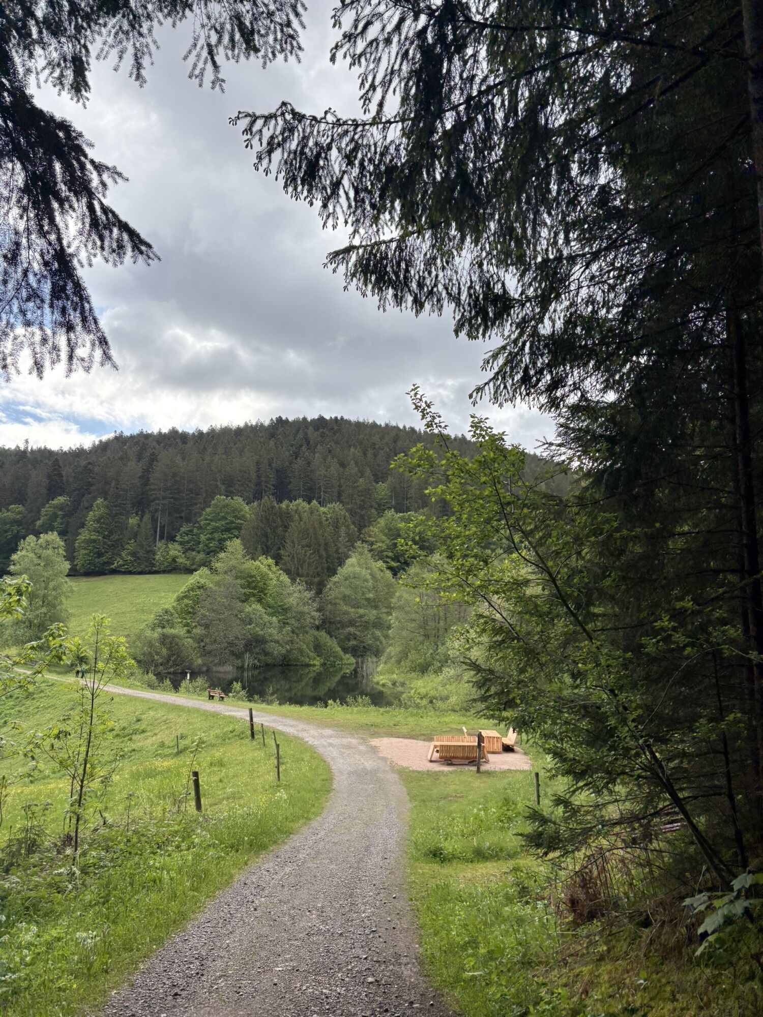
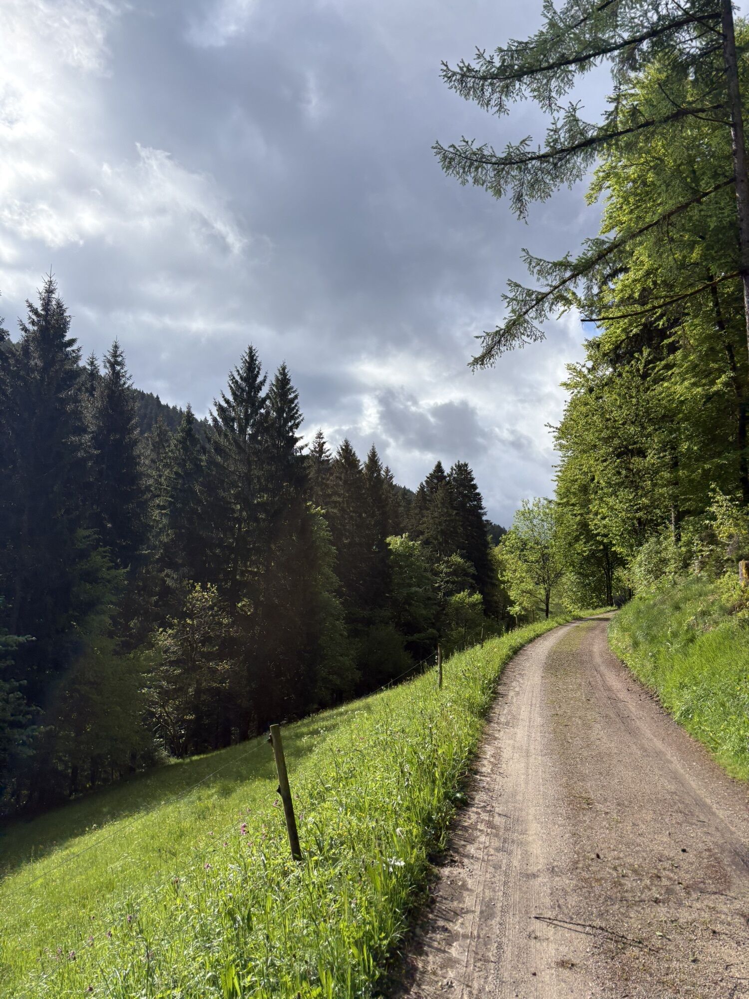
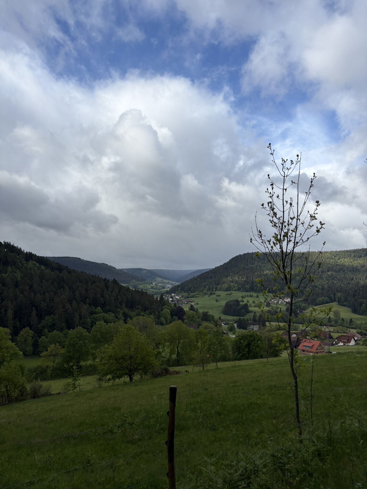
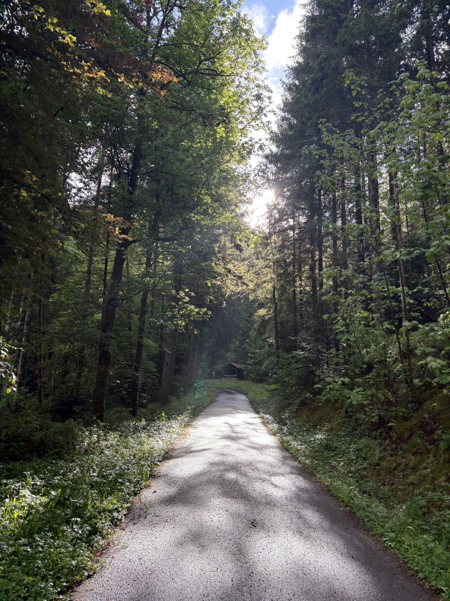
The starting point of the route can be freely chosen, so the possible overnight stays change accordingly. The selection is varied, from huts to star hotels.
Route character
Uphill we mostly use forestry...
The starting point of the route can be freely chosen, so the possible overnight stays change accordingly. The selection is varied, from huts to star hotels.
Route character
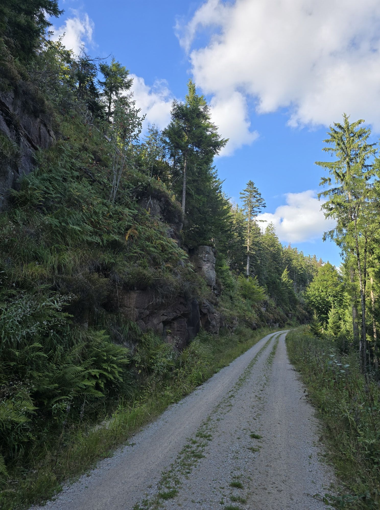
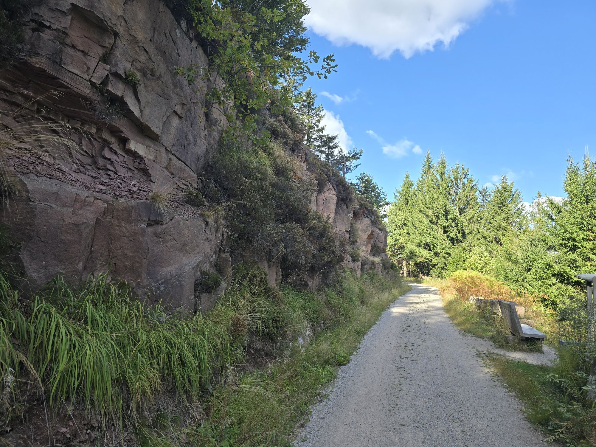
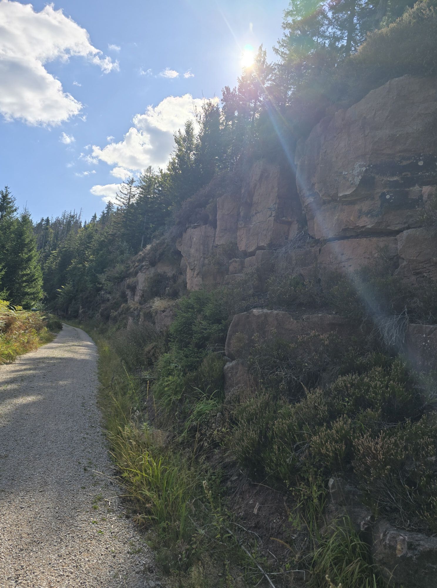
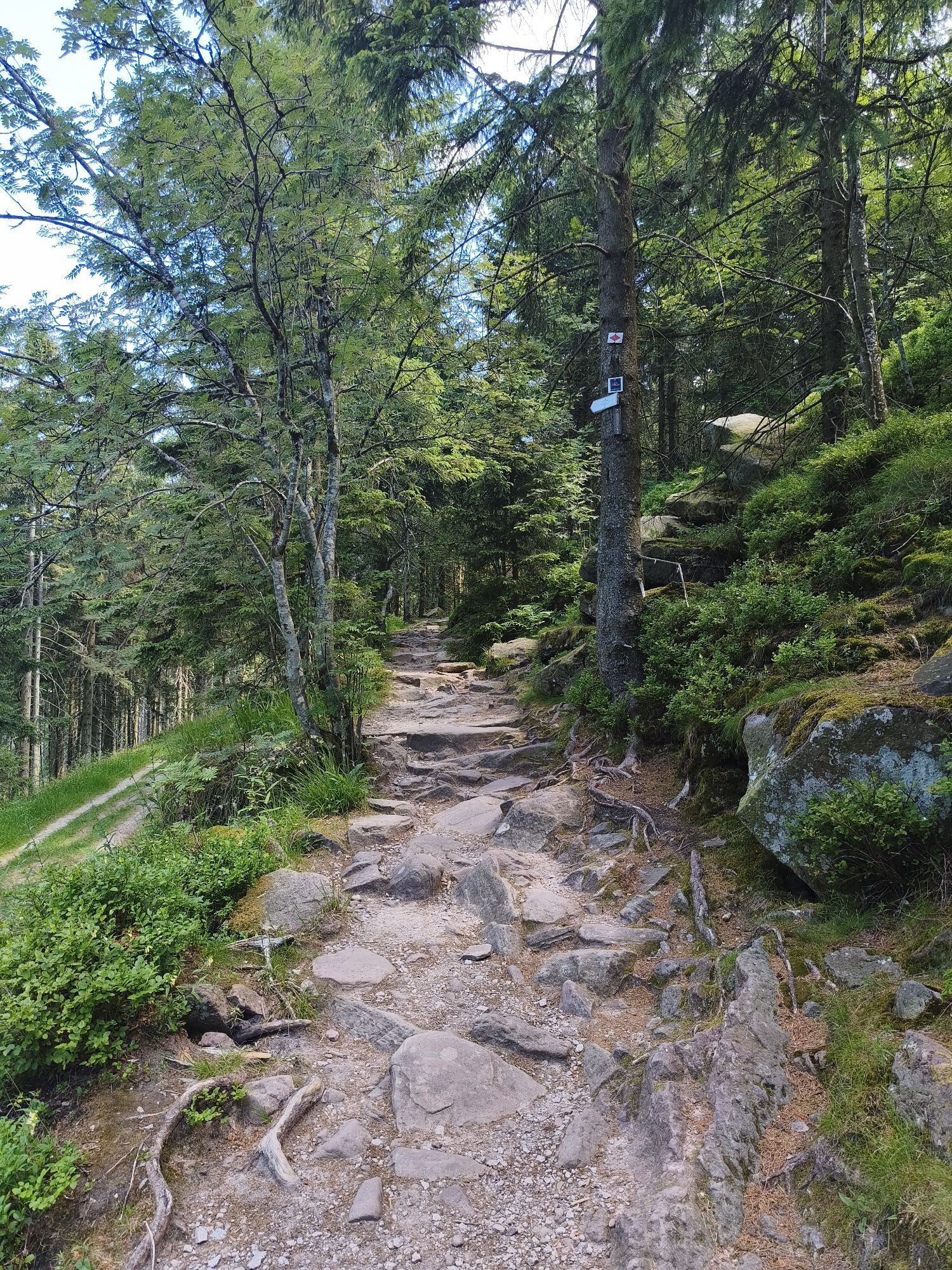
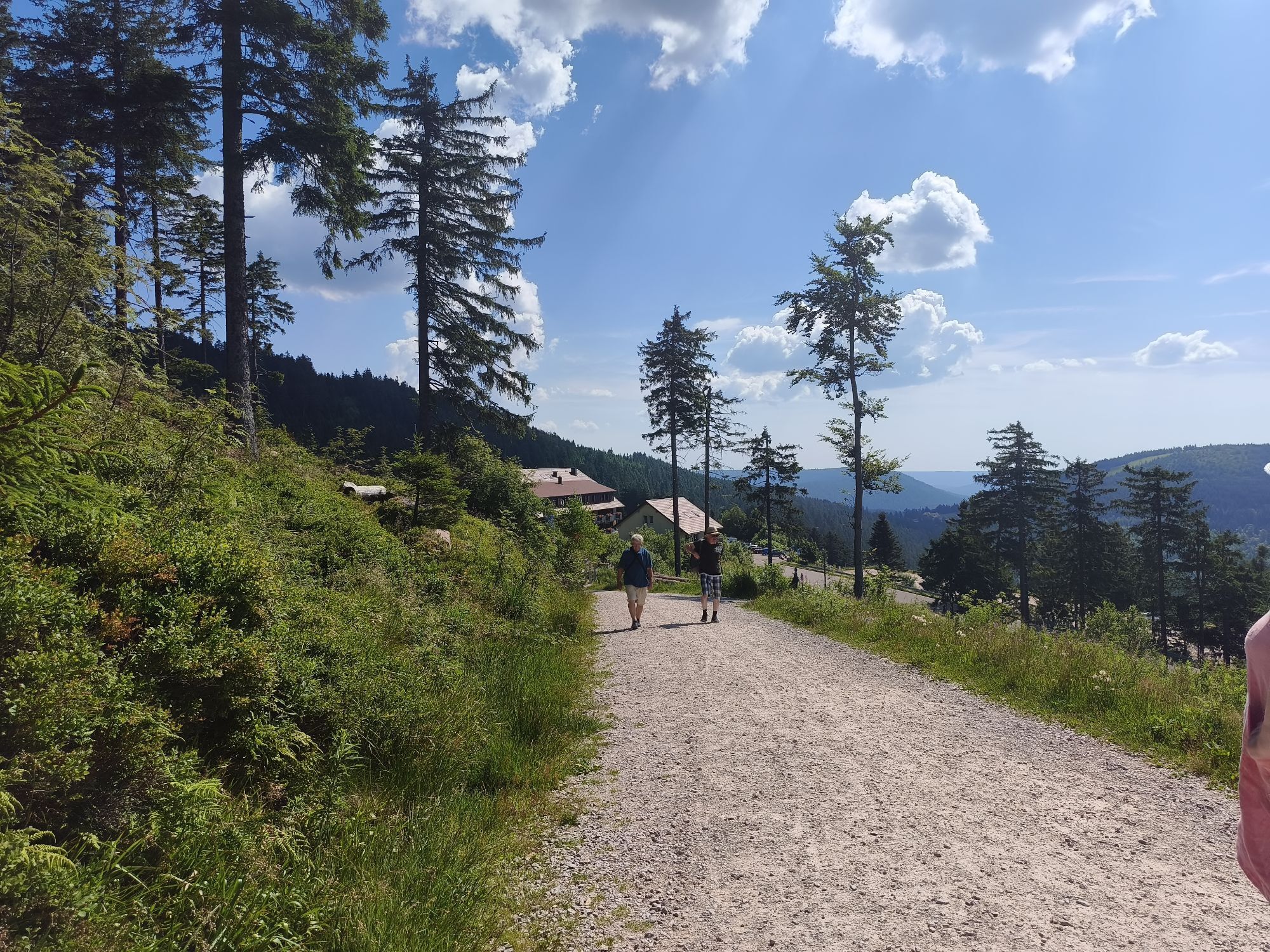
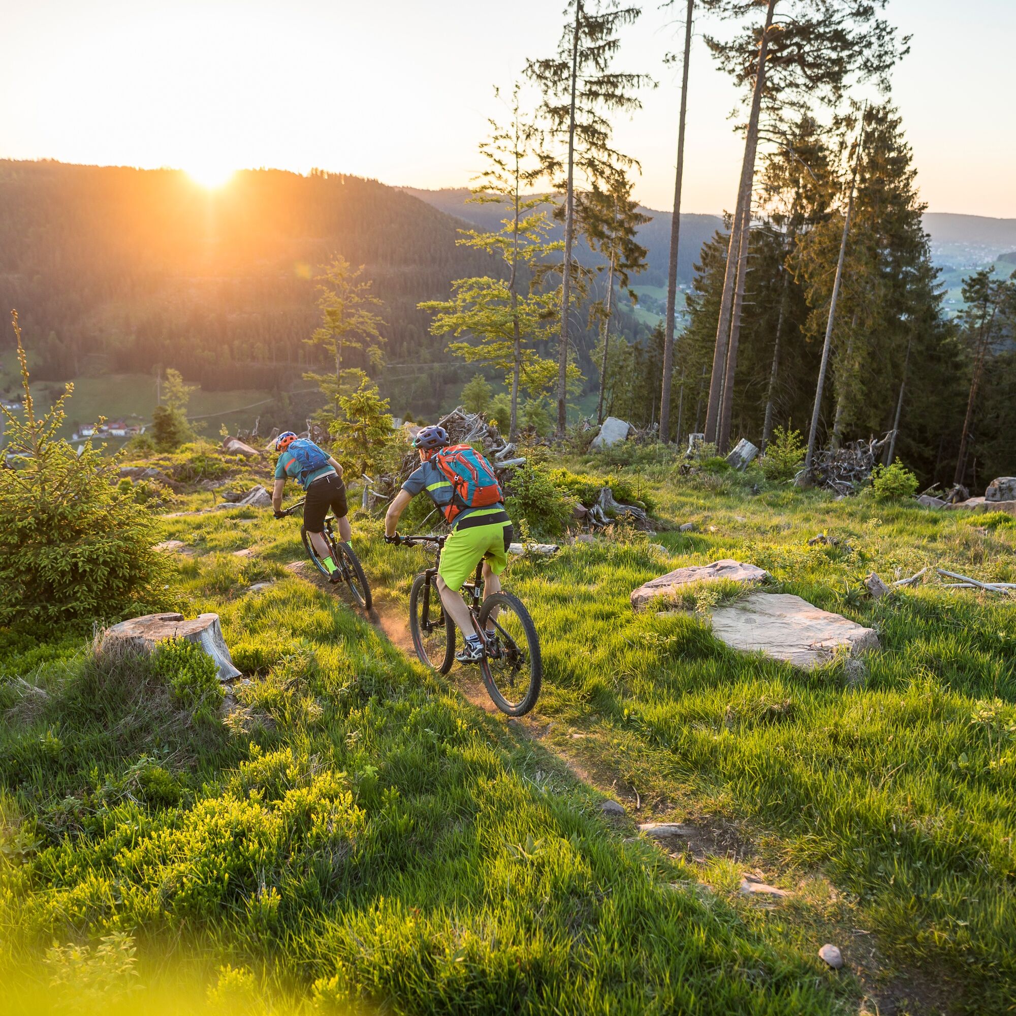
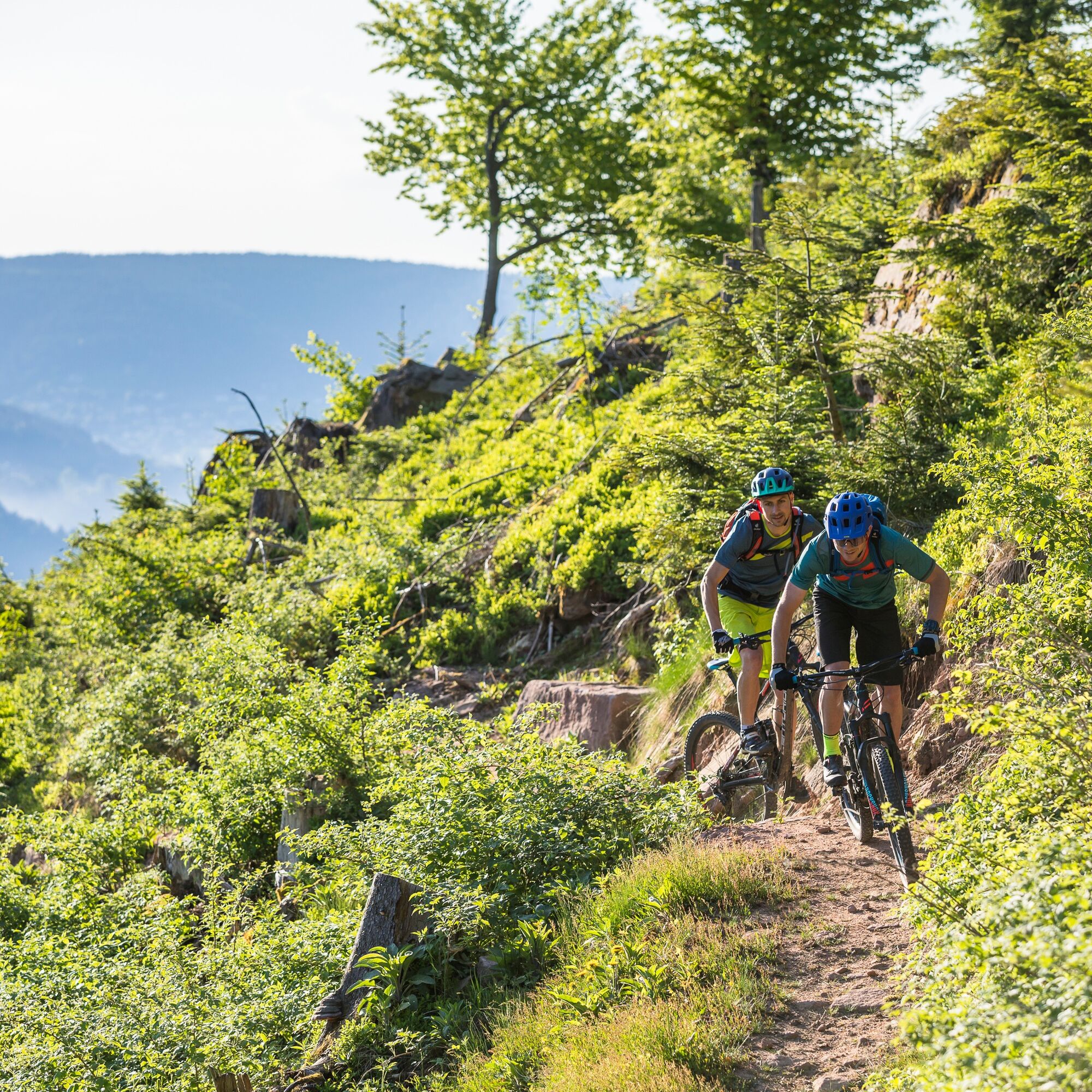
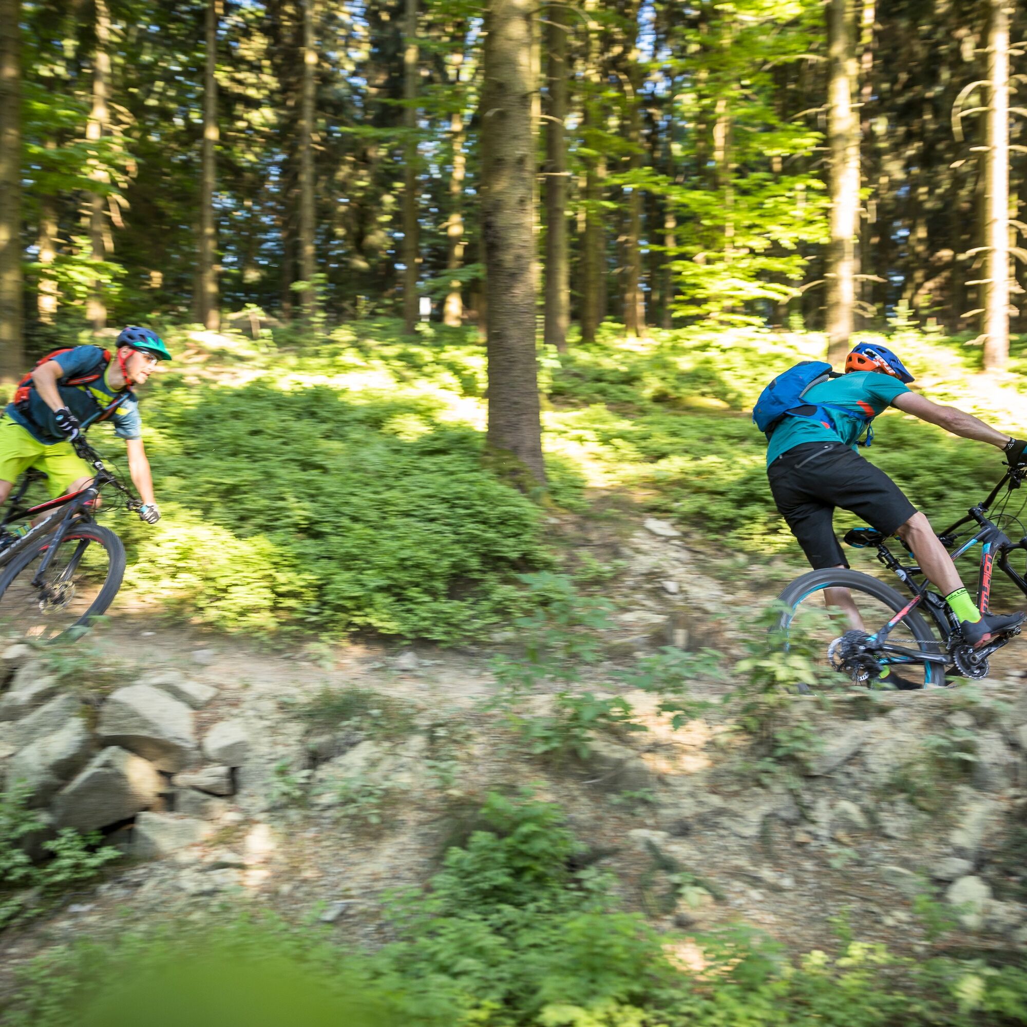
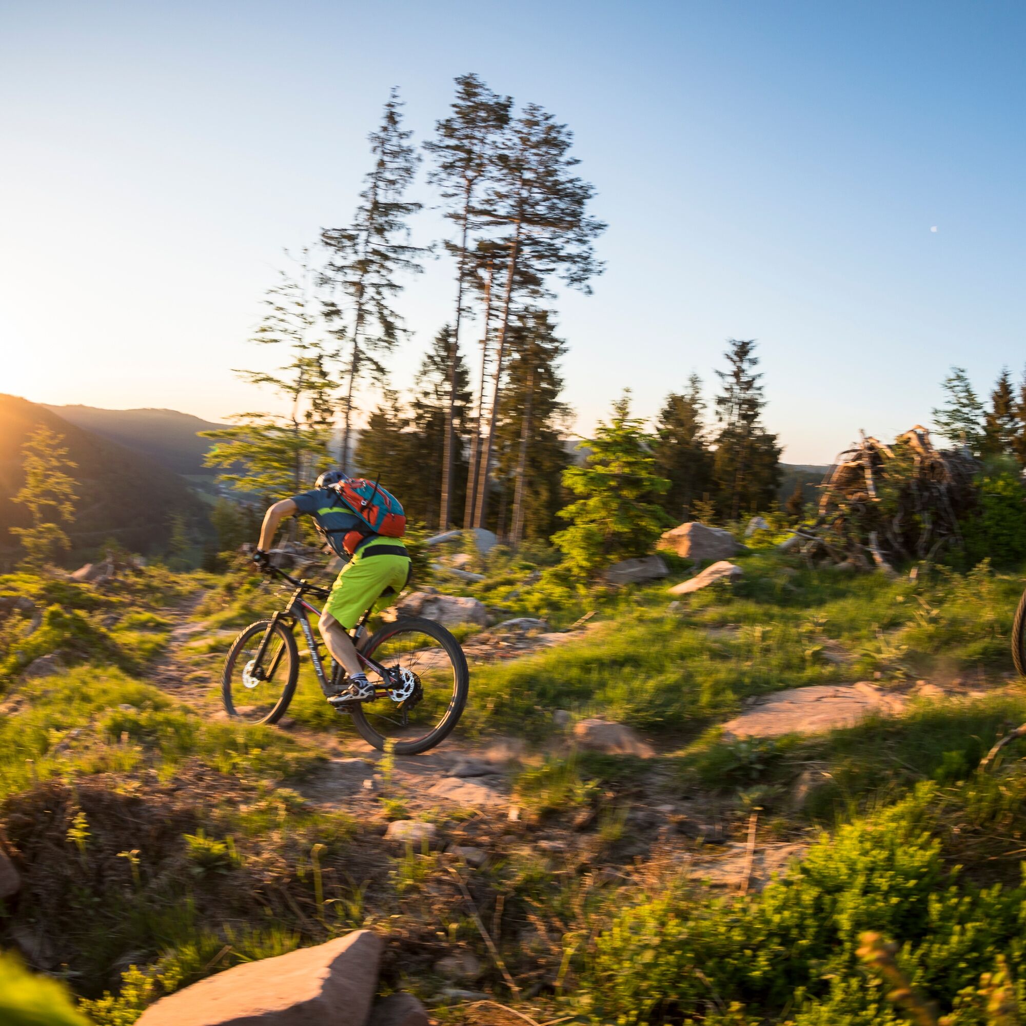
Uphill we mostly use forestry roads, downhill where possible, trails. The difficulty of the trails is mostly S0-S1/S2. Short sections require S3 riding skills.
The trails in the Baiersbronn area are mostly "natural paths," those near Sasbachwalden have been built with jumps, drops, and lots of love by the local bike sports club.
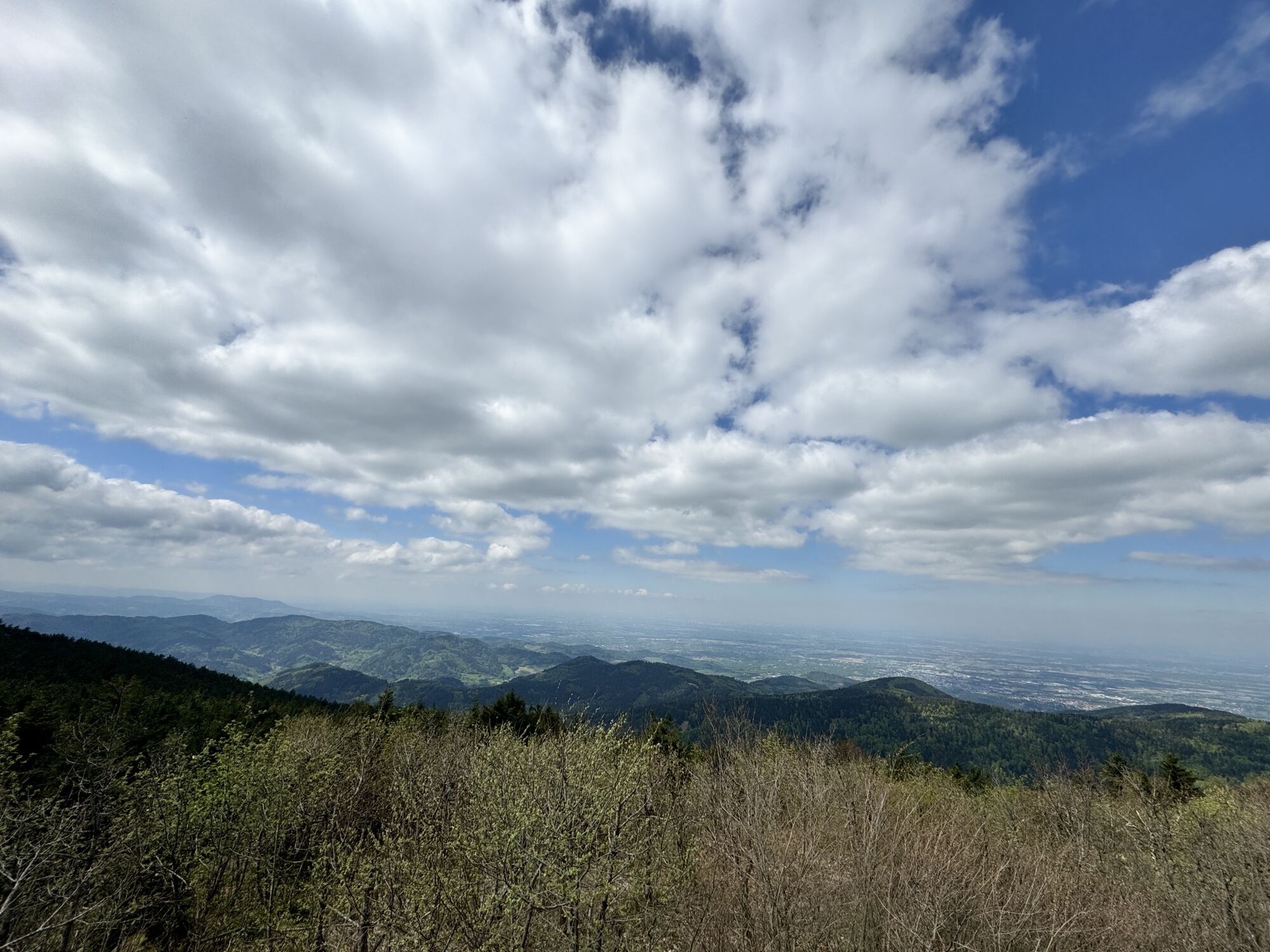
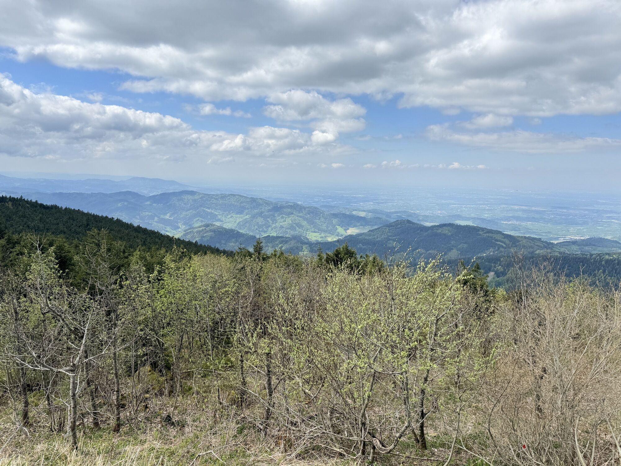
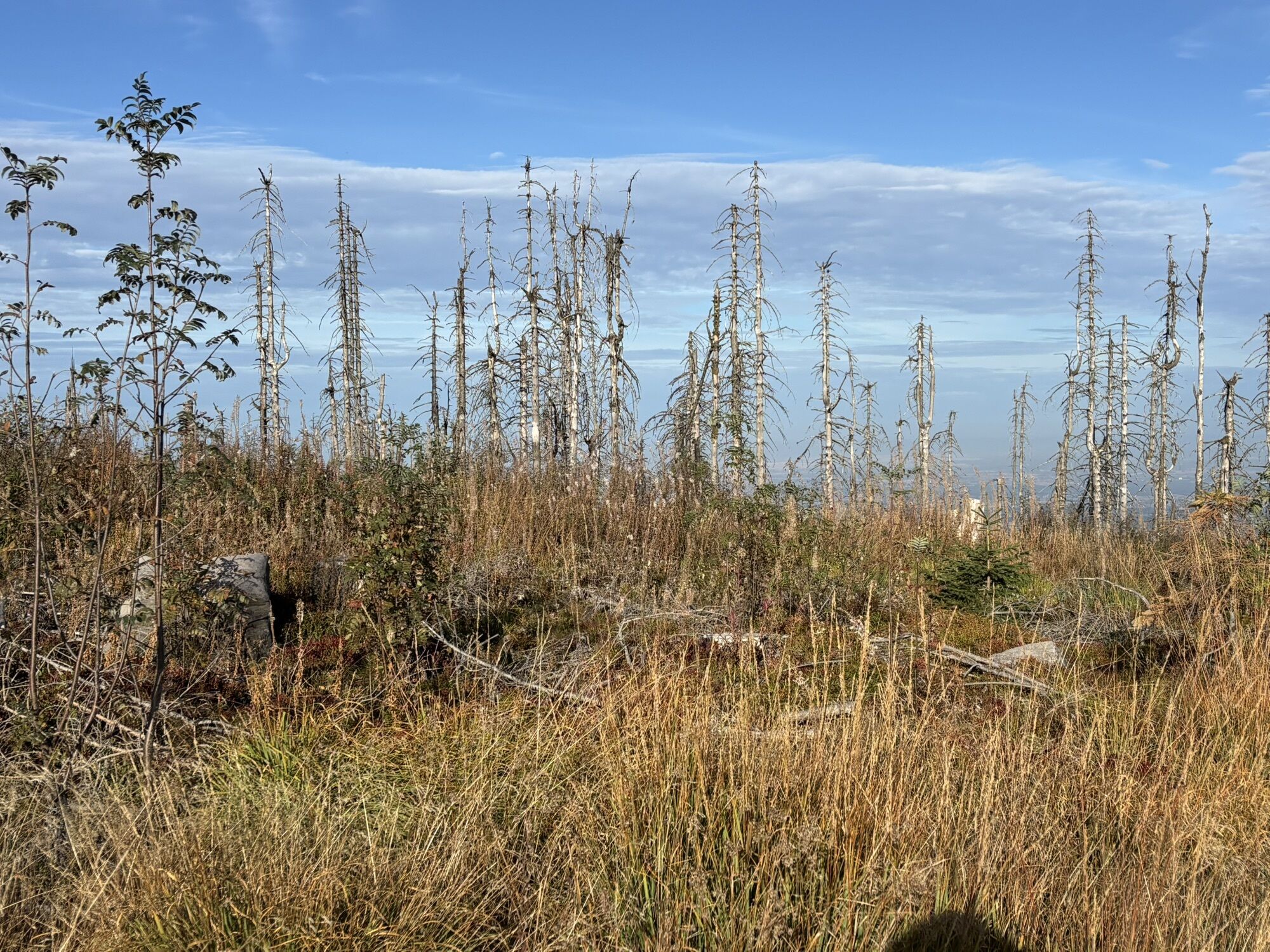
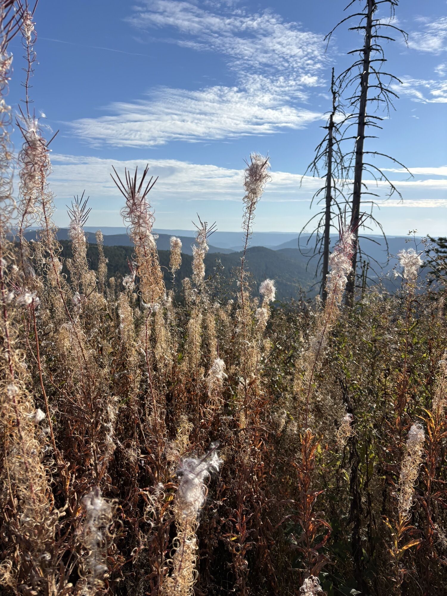
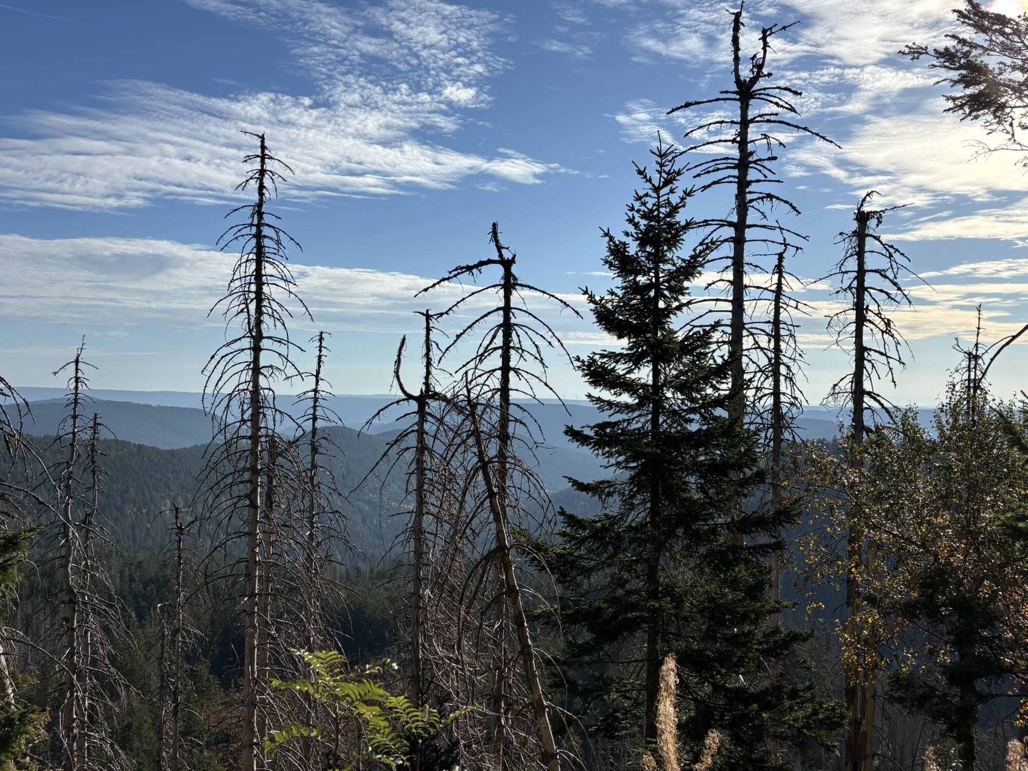
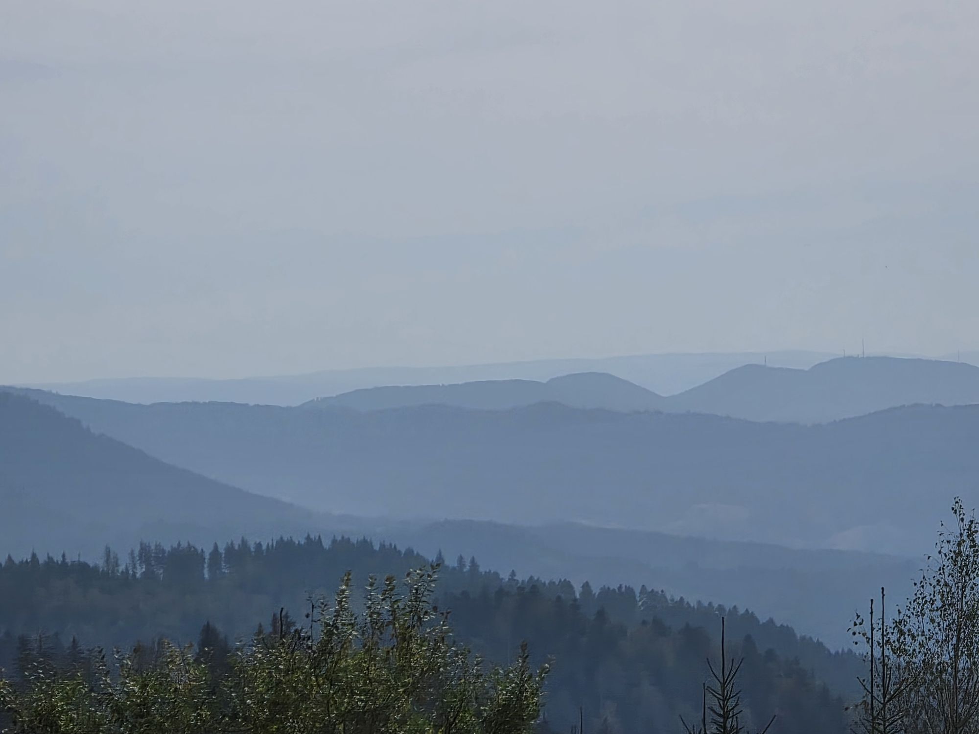
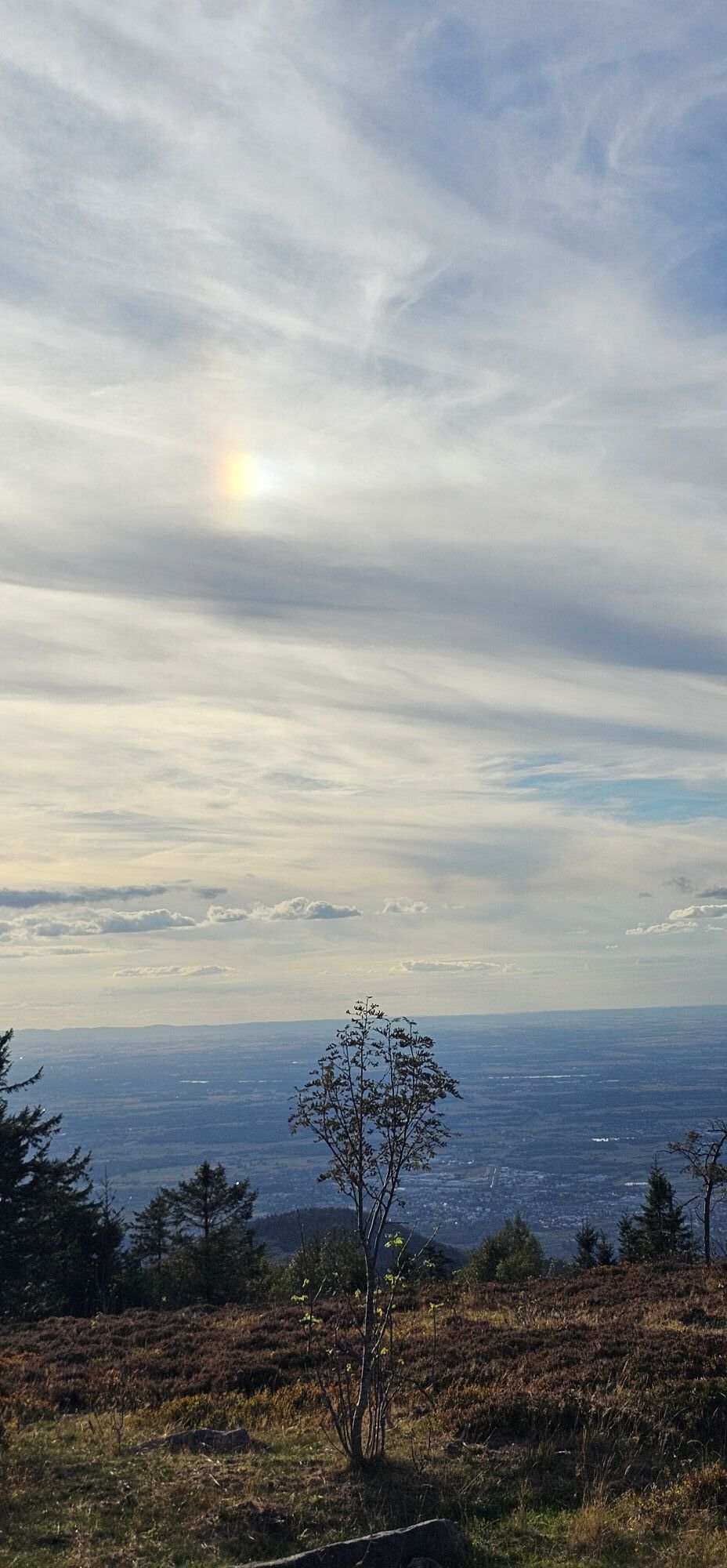
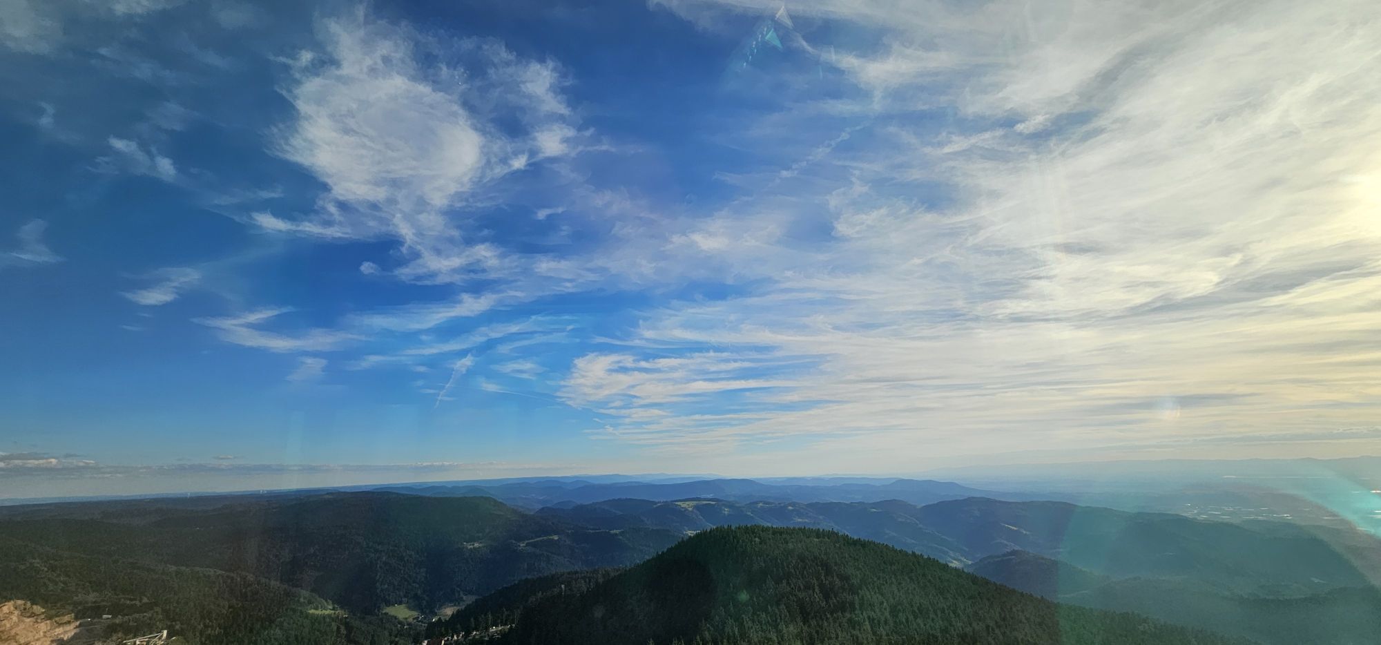
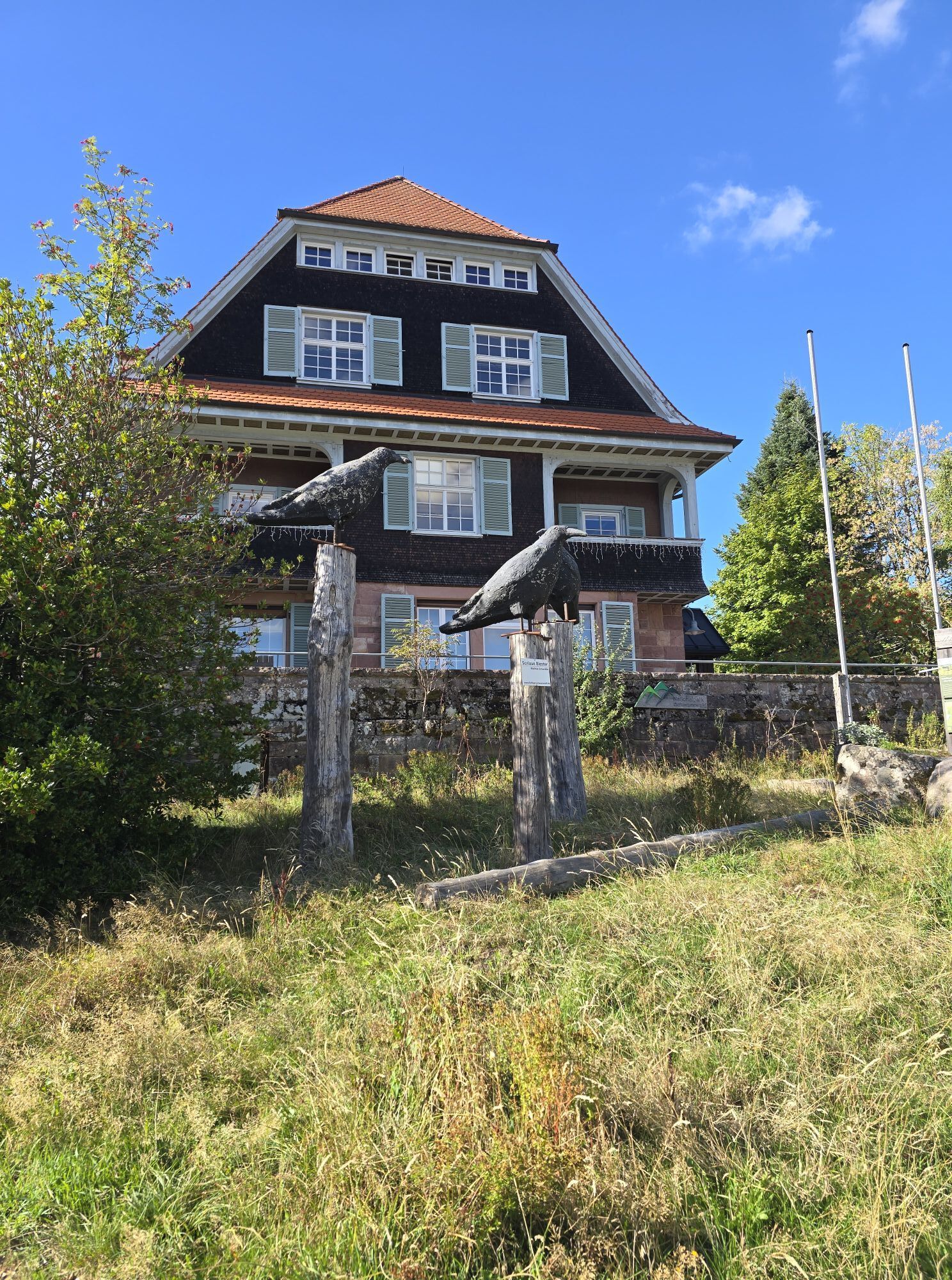
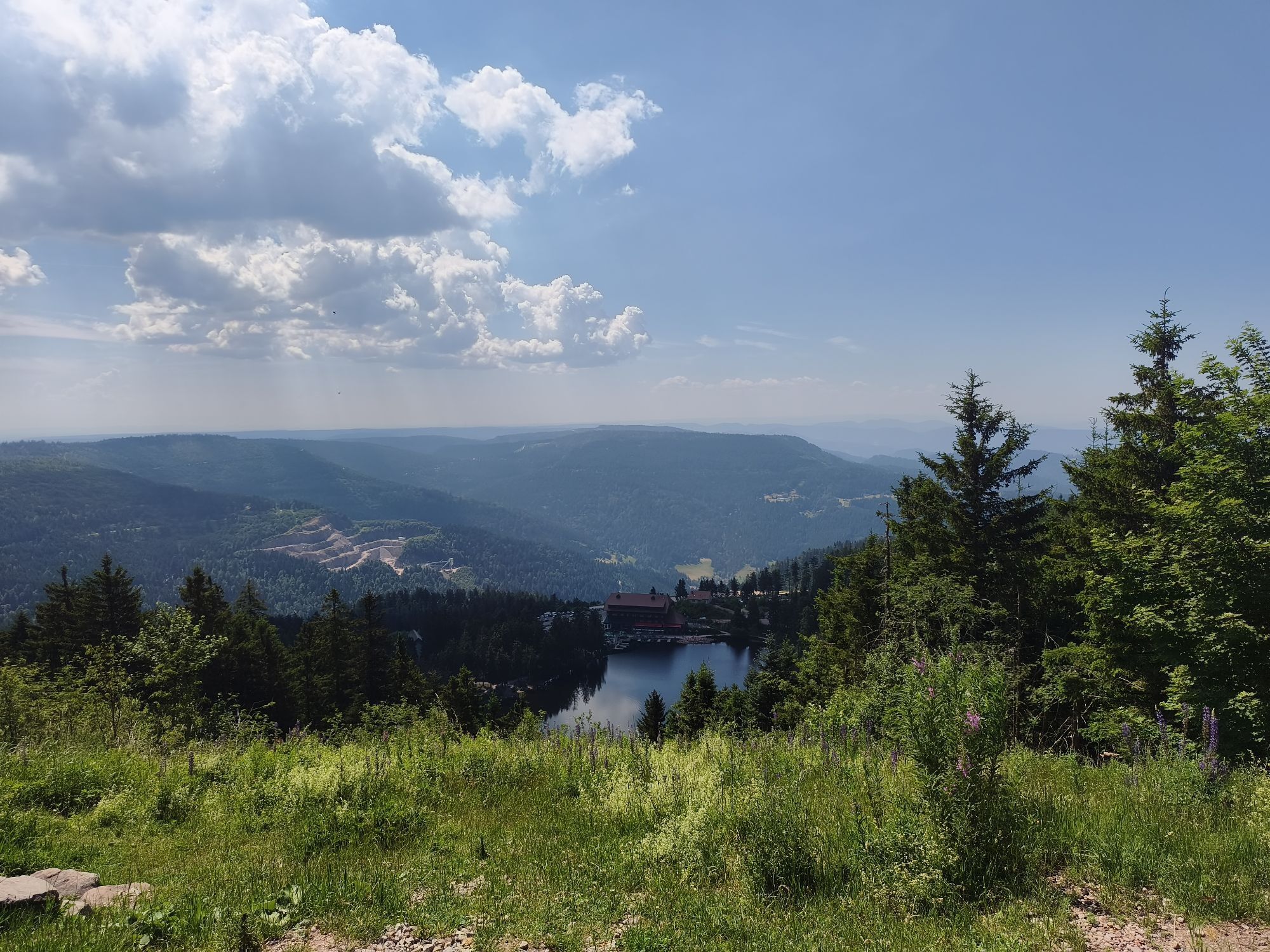
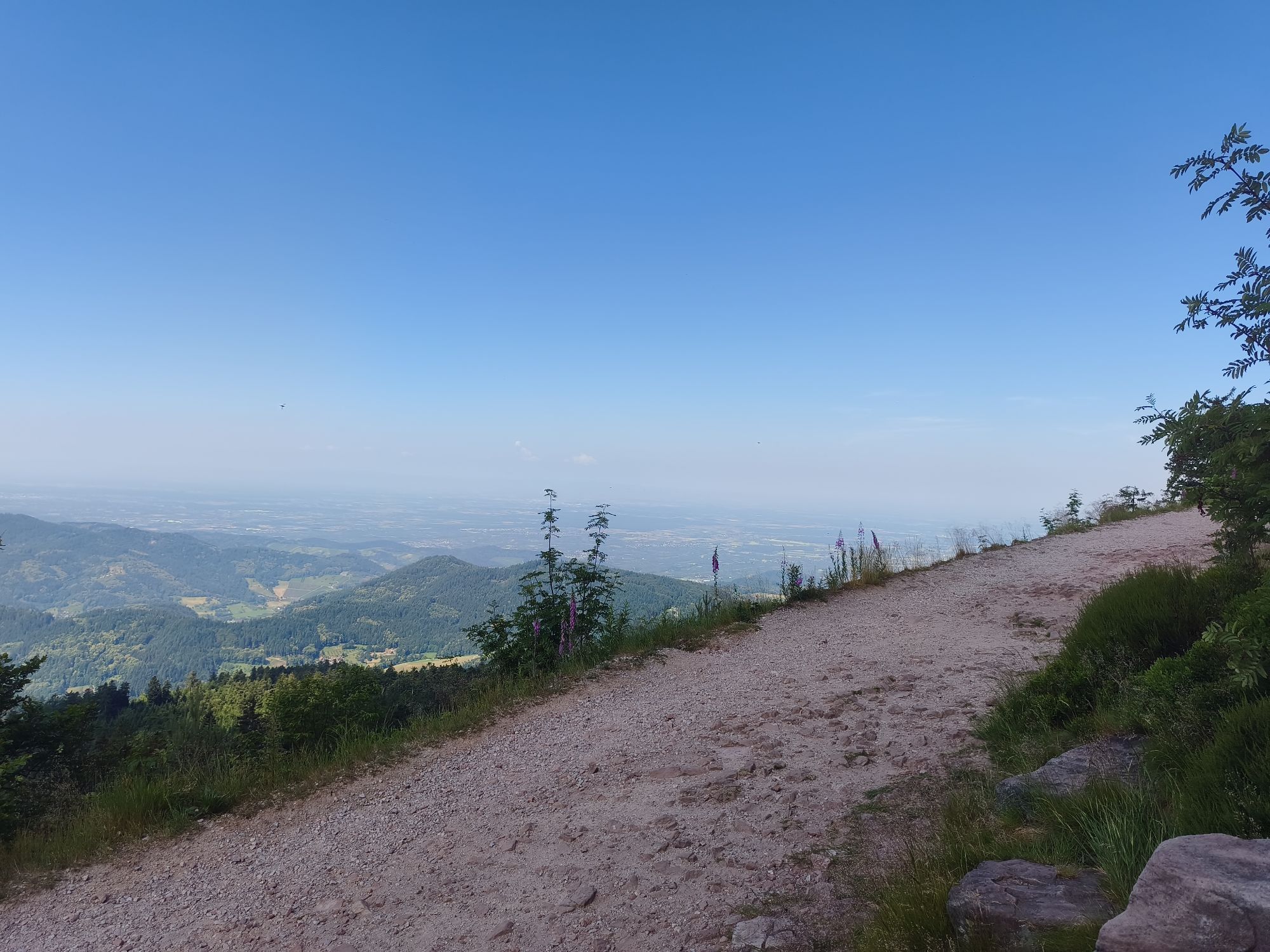
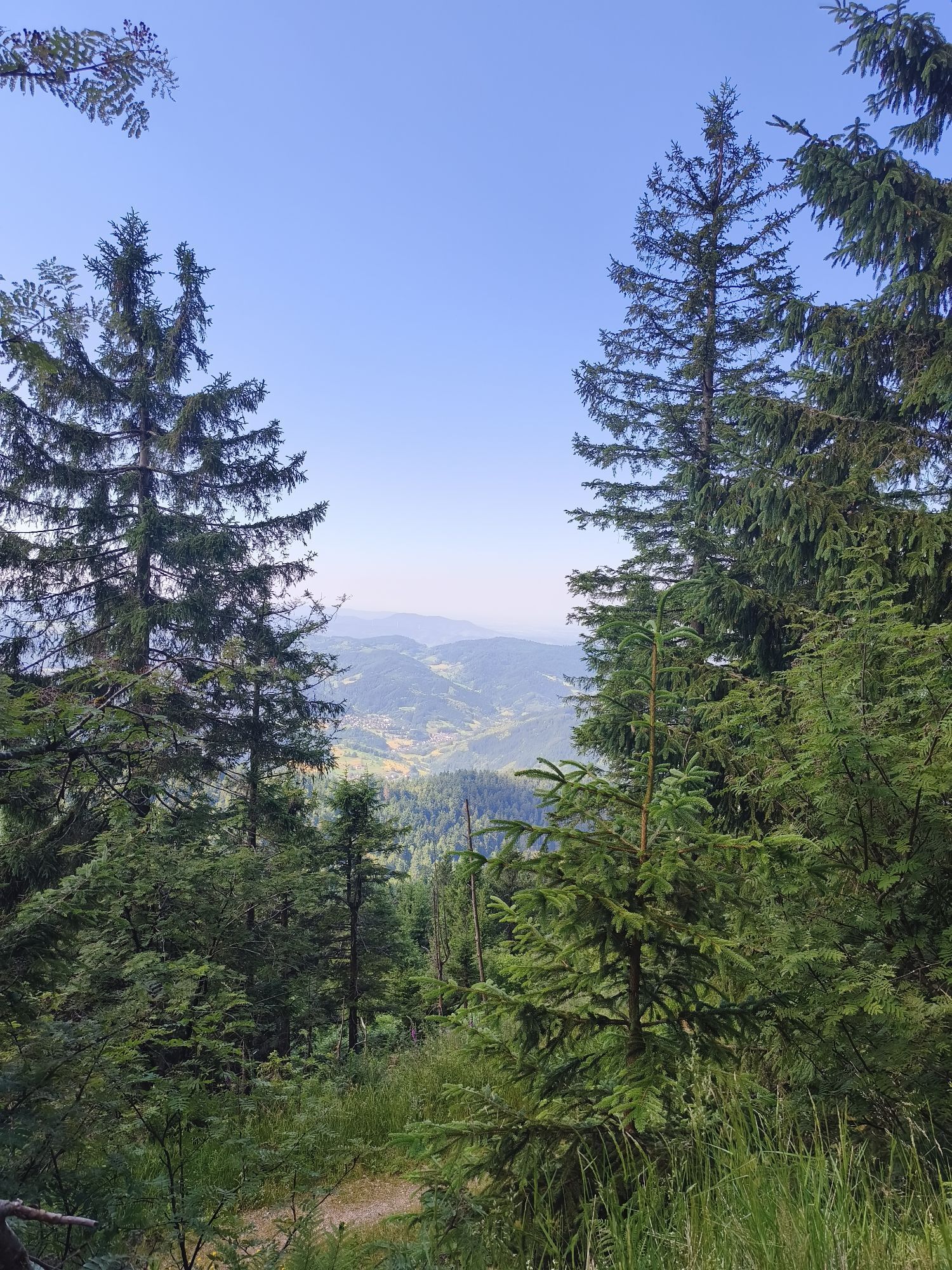
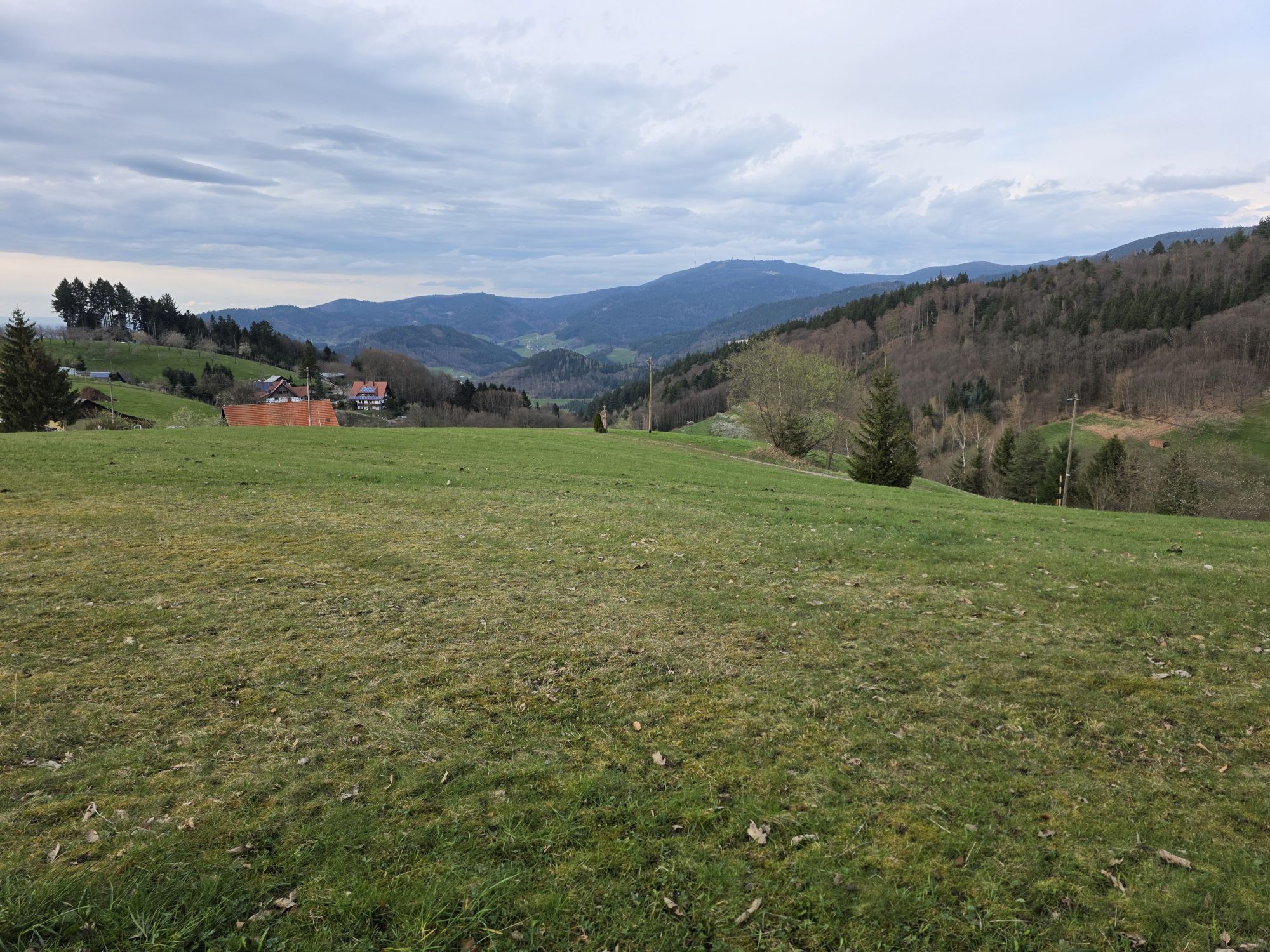
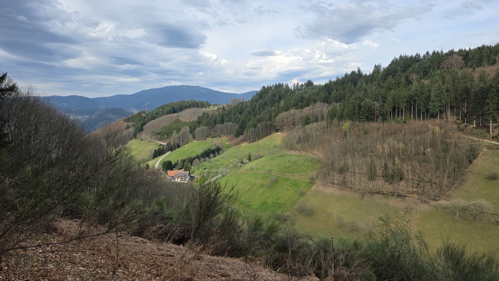
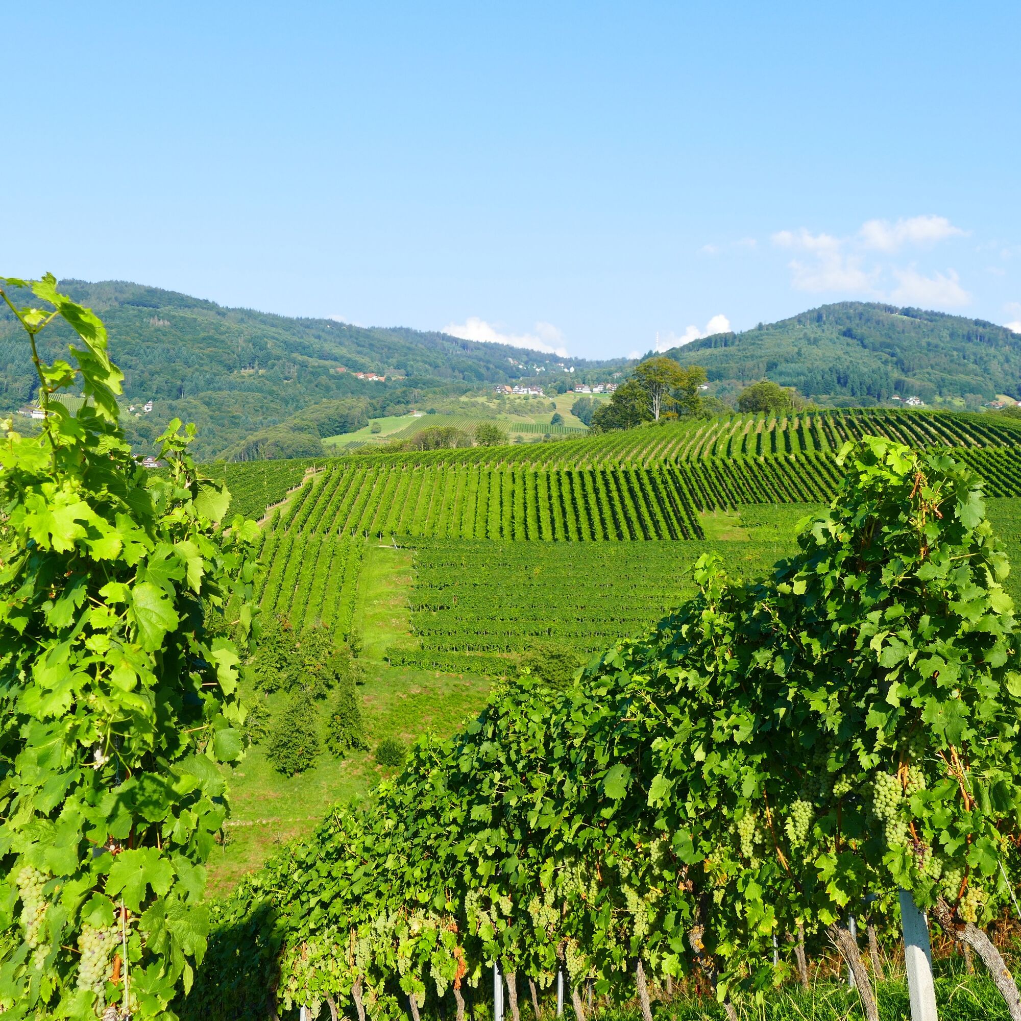
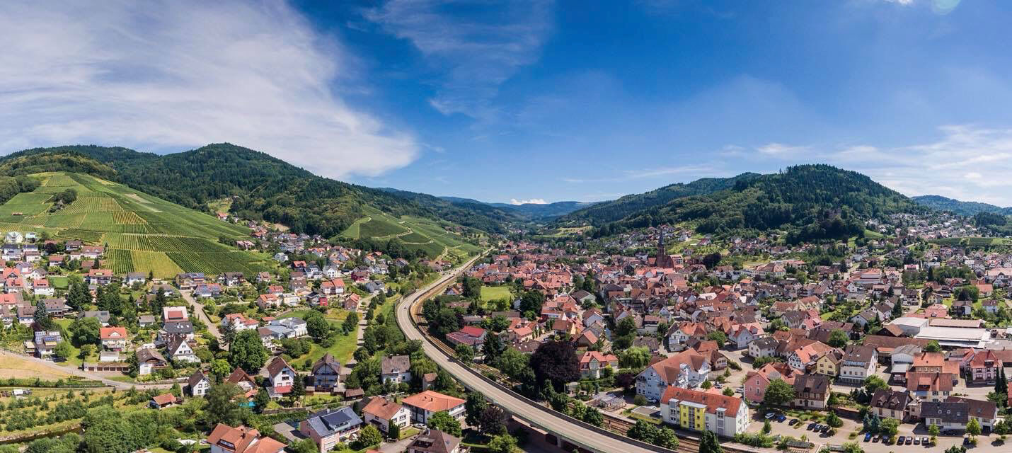
Highlights besides the trails are the many beautiful views, the transition from the Black Forest heights into the vineyards and wine towns of the Achertal valley, the wide gastronomic selection, and the impressive National Park Center at Ruhestein.
Route progress
We describe it here starting from Baiersbronn:
Day 1: from Baiersbronn to Hinterlangenbach, followed by overnight stay e.g. at the Forsthaus Auerhahn
43.7 km, 1210 m altitude gain, calculated with 4 hours and 23 minutesDay 2: from Hinterlangenbach to the Darmstädter Hut, followed by overnight stay e.g. at the Darmstädter Hut
53.8 km, 1880 m altitude gain, calculated with 5 hours and 57 minutesDay 3: from the Darmstädter Hut back to Baiersbronn, followed by individual departure
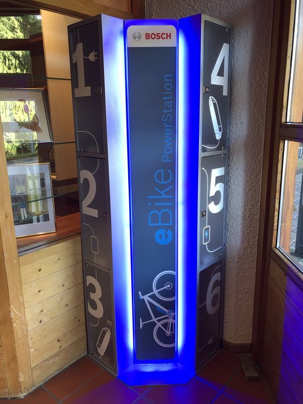
37.8 km, 920 m altitude gain, calculated with 3 hours 39 minutesThe tour can be done in 2 days with an E-MTB. It is best to bring the charger to recharge along the way.
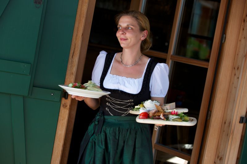
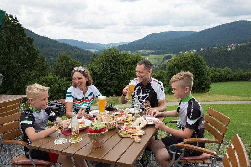
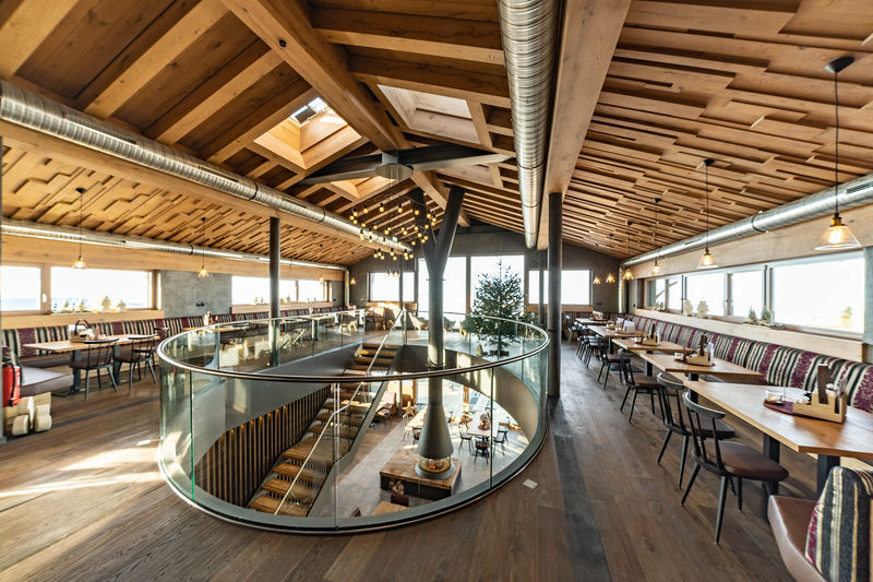
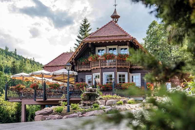
The dining options along the route are varied. Some examples are noted in the route description.


See track
Ano
Ano
Helmet and gloves mandatory, protectors recommended.
Beware of wet conditions!
Please check in advance the current trail closures or with the Baiersbronn Hiking Information Center to see if the route is open. Tel.: +49 7442 8414-66.
In the national park area, especially in winter, there are seasonal trail closures in wildlife protection zones. In particularly sensitive areas, these can extend beyond winter. In case of closure, a detour is signposted.
Rhine Valley: A5 to Achern, then towards Schwarzwaldhochstraße
From north/east: A81, exit Freudenstadt/Baiersbronn
Train: check www.bahn.de for Kappelrodeck (west) or Baiersbronn (east)
Starting points in the Rhine Valley: Achertal/Sasbachwalden
Starting point east of the main ridge of the Black Forest: Baiersbronn
Easy to find on site
S2
Info about the region, accommodation options, highlights, and gastronomy: https://www.nationalparkregion-schwarzwald.de/
Info about the Baiersbronn trails: https://www.baiersbronn.de/de-de/natur/mountainbiking/touren
Info about the Sasbachwalden trails: https://bikesport-sasbachwalden.de/
Enjoy the high-quality gastronomy along the trail!!
Info: https://www.nationalparkregion-schwarzwald.de/
More official trails: https://www.schwarzwald-tourismus.info/erleben/radfahren/mountainbike/trails
For navigation, you can use the free Black Forest app with "offline storage function" of the routes or find the route on our Komoot profile: https://www.komoot.de/user/schwarzwaldtourismus
Webové kamery z prohlídky
-
Baiersbronn
-
Schliffkopf - Hotel Schliffkopf
-
Skilift Ruhestein
-
Wanderhütte Sattelei
-
Schliffkopfhotel
-
Seibelseckle Lift
-
Seibelseckle
-
Mummelsee
-
Mummelsee
-
Buchkopfturm
-
Grindehütte Hornisgrinde
-
Kniebis - Waldblick Hotel
-
Unterstmatt
-
Grindehütte Hornisgrinde
-
Hotel Sonnenhof
-
Seibelseckle - Bergstation
-
Rathausplatz Achern
-
Obertal-Buhlbach
-
Skilift Unterstmatt
-
Kniebis-Skistadion / Nachtloipe
-
Kniebis-Skistadion
-
Kniebis-Skistadion / Nachtloipe
-
Kniebis-Skistadion / Nachtloipe
-
Freudenstadt - Unteren Marktplatz
-
Freudenstadt - Obere Marktplatz
-
Lift - Hochkopfstub

Oblíbené prohlídky v okolí
-
4.9
Ottenhöfen - Eichkopf - Karlsruher Grat
středníTuristika 13.7 km -
3.9
Schnapsbrunnenweg 2
středníTuristika 12.8 km -
4.7
Bannwald-Tour
Turistika 13.3 km -
4.8
Schnapsbrunnenweg 1
světloTuristika 7.45 km -
4.7
Ottenhöfen - Mühlenweg
středníTuristika 13.4 km -
4.8
Oberkircher Brennersteig
středníTuristika 13.8 km -
4.5
Lautenbacher Hexensteig
heavyTuristika 15.3 km -
4.0
Gertelbacher Wasserfälle
heavyTuristika 18 km -
4.4
Seebach - Genießerpfad Mummelsee-Hornisgrindepfad
středníTematická stezka 6.70 km -
Hundseck - Hochkopf - Hornisgrinde Bühlertal, Baden-Württemberg
světloTuristika 15.5 km
Pěší turistika a stopování


Nenechte si ujít nabídky a inspiraci pro vaši příští dovolenou
Vaše e-mailová adresa byl přidán do poštovního seznamu.





