


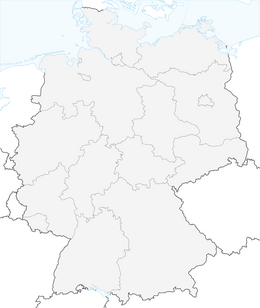


Schönauer-Tour Sö1



Using the marked circular routes and connecting paths is at your own risk! The marking of the circular routes and connecting paths does not entail any traffic safety obligations for the owners of the paths, the affected municipalities, forestry administrations, the Geo-Nature Park Bergstraße-Odenwald, or the Nature Park Neckartal-Odenwald. Users of the circular routes must be aware of the typical forest dangers and are responsible for accidents and falls resulting from them. Vehicle traffic and temporary route closures, e.g. due to forest management or hunting activities, must always be expected. Warning signs from forestry administrations, hunting operations, or other warnings must be strictly observed. Pay attention to pedestrians and show special consideration. In addition, nature-conscious bikers should avoid using the routes after dusk and before sunrise to protect wildlife and should not leave the marked trails.

Oblíbené prohlídky v okolí
-
4.2
Wilhelmsfeld: hike through the Kameralwald
středníTuristika 10.0 km -
4.5
Zum Königstuhl
středníTuristika 15.9 km -
5.0
Vier-Burgen-Tour Neckargemünd/Neckarsteinach
Turistika 12.8 km -
To the Spat Gorge
středníTuristika 12.1 km -
4.2
Neckarsteinach, 4-Burgen-Blick
středníTuristika 16.3 km -
4.5
Neckarsteig Etappe 1 + 2
středníTuristika 23.1 km -
5.0
Neckarsteig Etappe 3 Neckarsteinach - Hirschhorn
světloTuristika 16.4 km -
Schriesheim Klettersteig, Germany
světloVia ferrata 3.78 km -
3.0
On the circular hike in the Elsenztal
světloTuristika 7.62 km -
5.0
Bergsträßer Burgensteig - Etappe 6: von Weinheim nach Hirschberg-Großsachsen
heavyTuristika 18.3 km
Pěší turistika a stopování


Nenechte si ujít nabídky a inspiraci pro vaši příští dovolenou
Vaše e-mailová adresa byl přidán do poštovního seznamu.


