






Waterfall - Quartet

Úroveň obtížnosti: 1
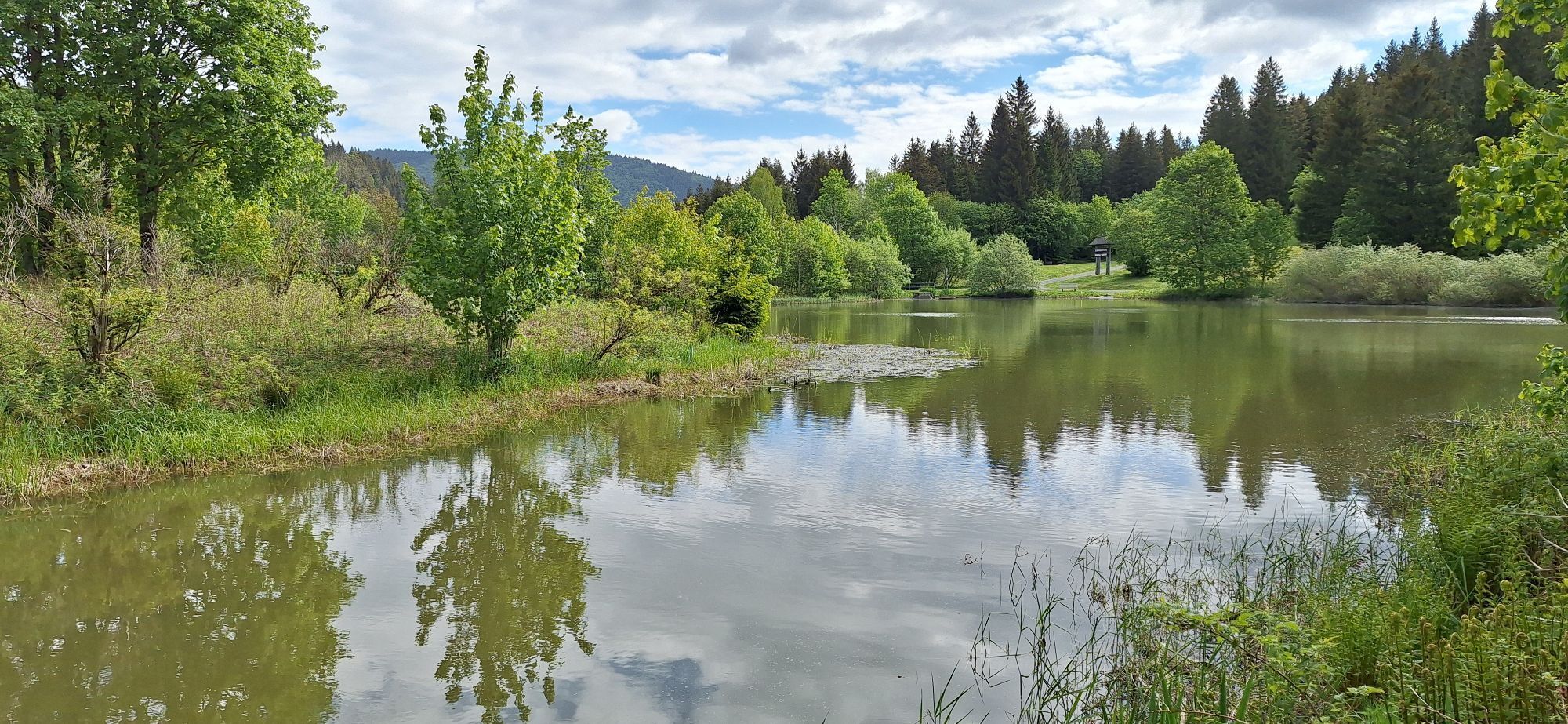
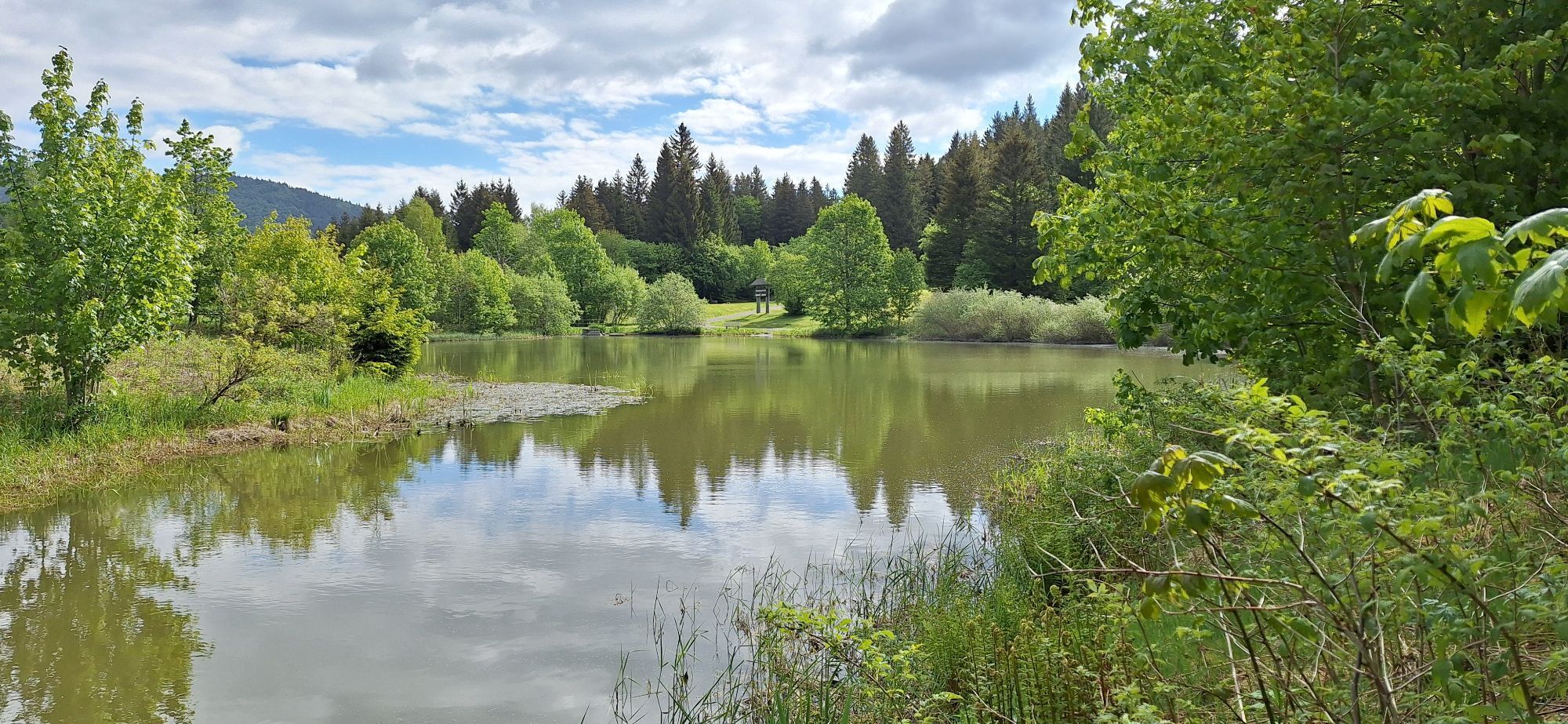
Water in all its shapes and forms is what gives the Black Forest Highlands its refreshing, unspoilt character. When the air is thick and the heat is suffocating at lower altitudes in summer, it's time...
Water in all its shapes and forms is what gives the Black Forest Highlands its refreshing, unspoilt character. When the air is thick and the heat is suffocating at lower altitudes in summer, it's time for you to discover the heights of the Black Forest Highlands. Embark on a refreshing tour. You can find the exact route on the tour route page at the end. Before that, you will find important information about the route.
The tour starts at the bus park at the cathedral in St. Blasien. You will reach Todtnau via Bernau in the Black Forest along the winding Black Forest road. On the drive uphill to the Todtnauberg district, you can get a first impression of your destination - the Todtnau waterfall - on the right-hand side.
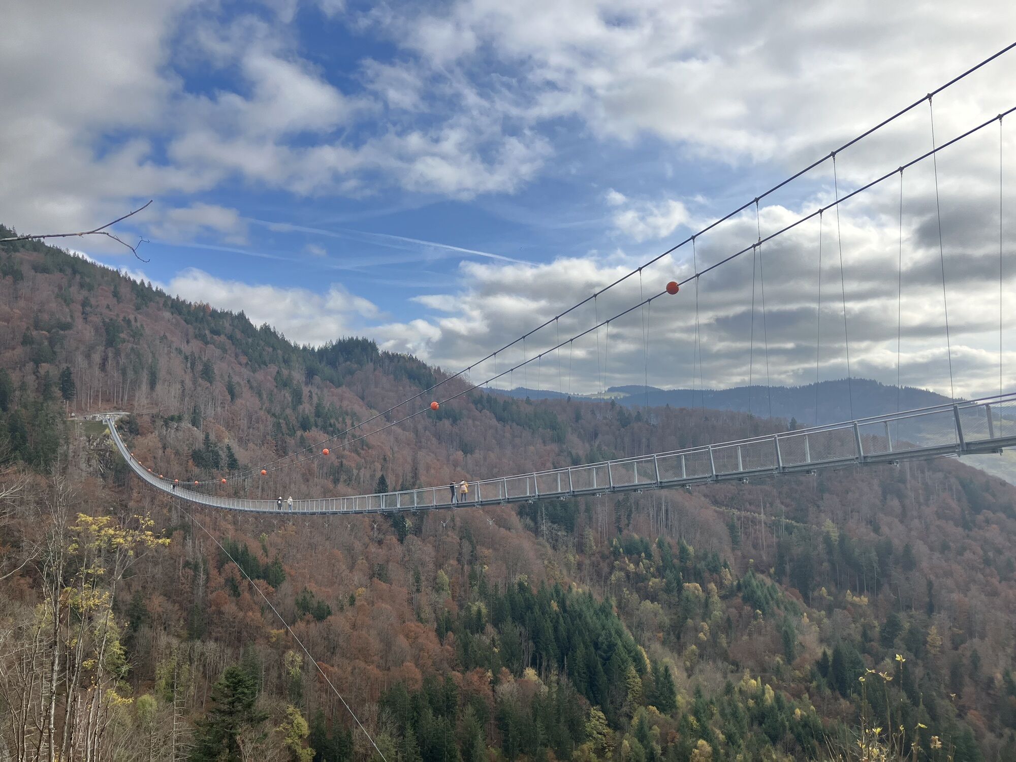
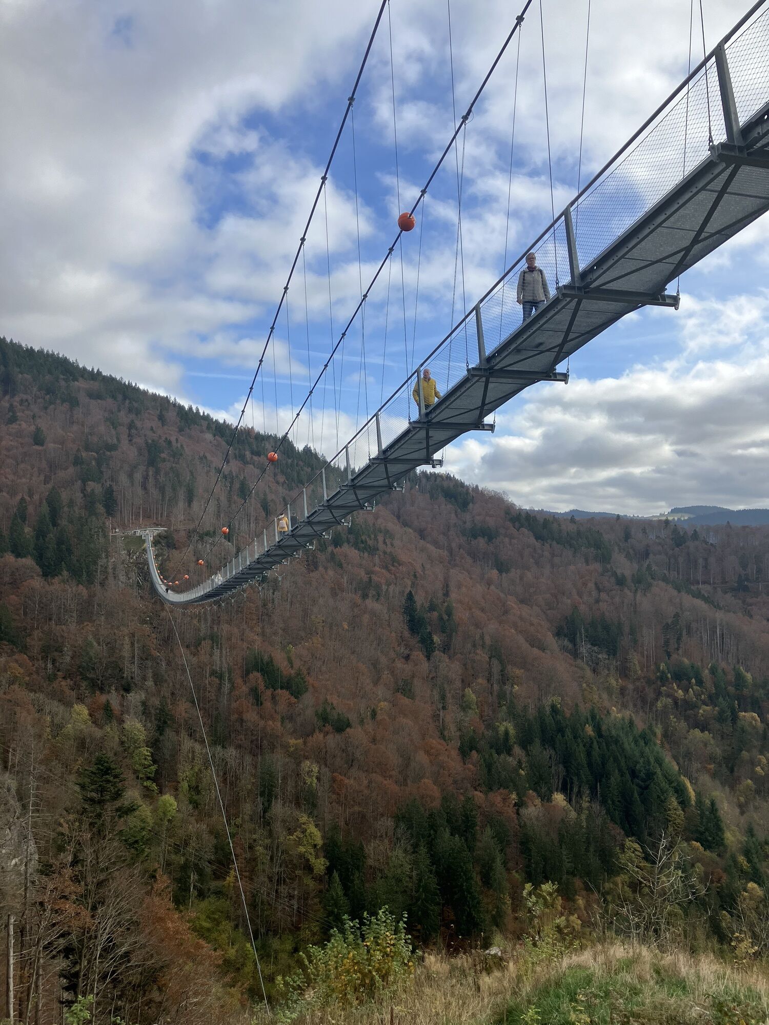
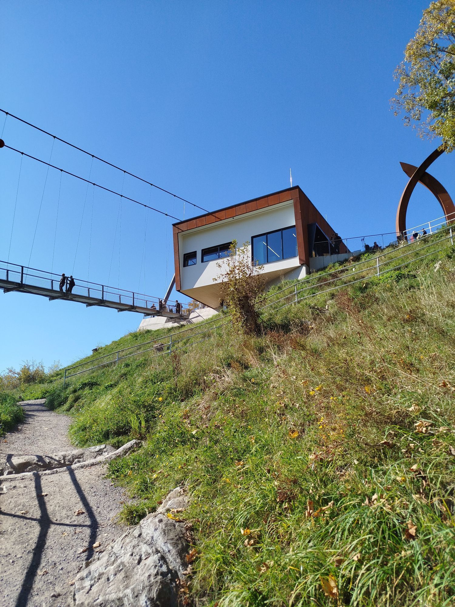
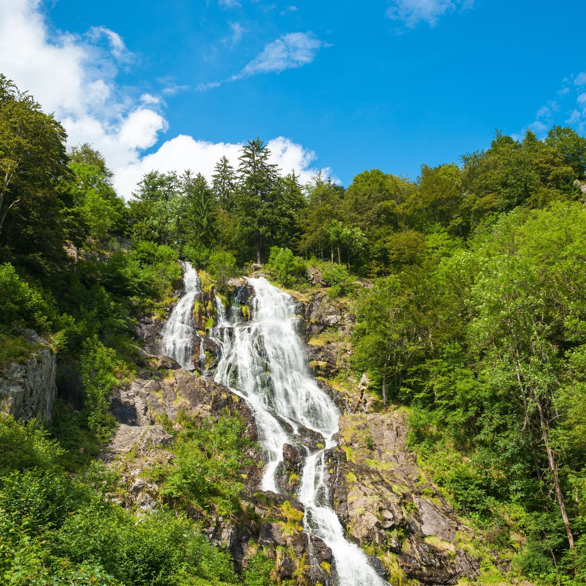
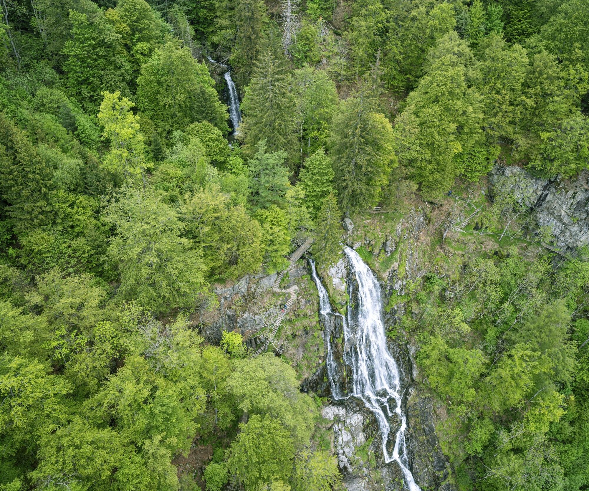
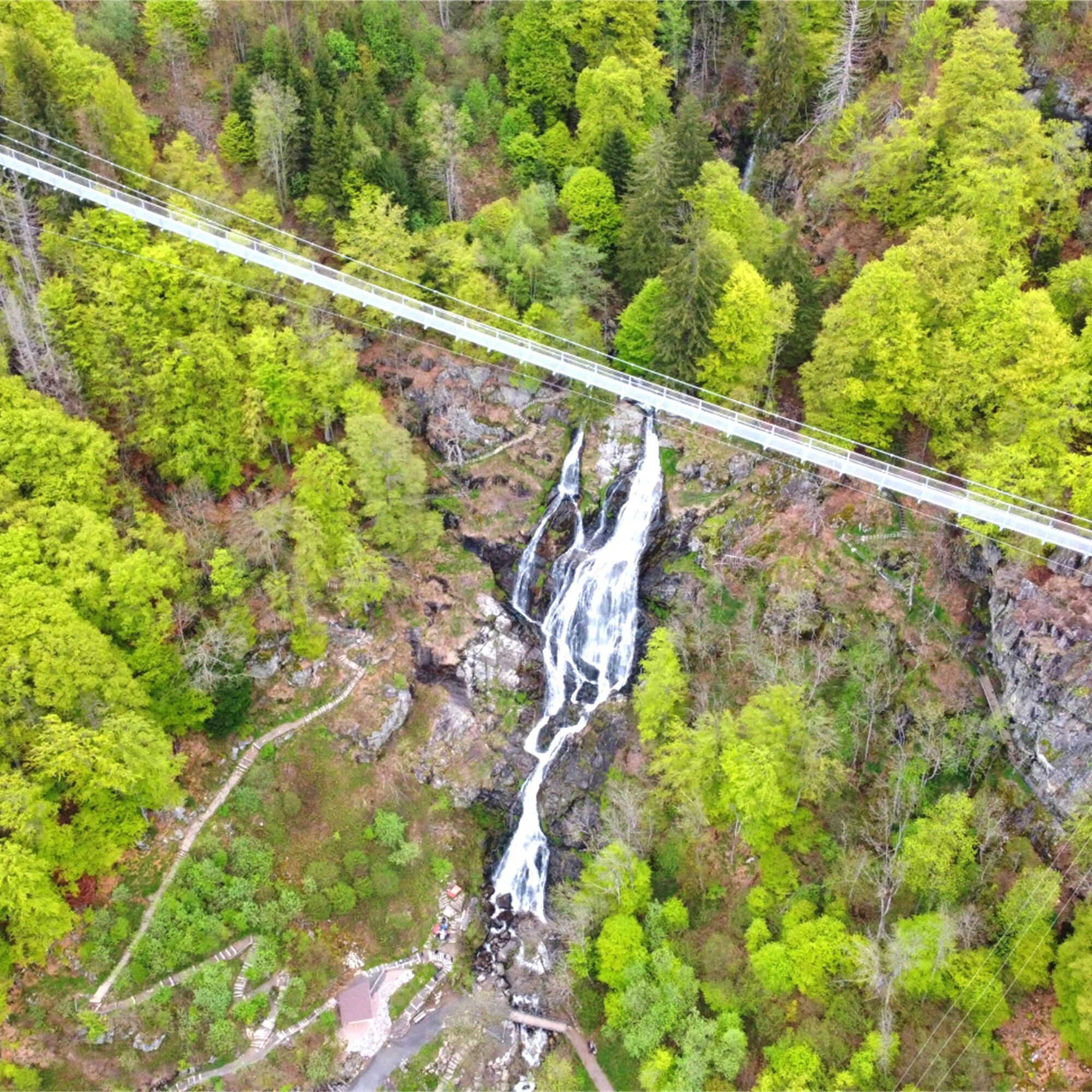
You are in the middle of the Todtnau mountain world in the Black Forest Highlands, between the holiday resorts of Todtnauberg and Aftersteg. Here, the Todtnau waterfall, Baden-Württemberg's highest natural waterfall, plunges down a breathtaking 97 metres. You can park your car at the BLACKFORESTLINE car park and find yourself right at the entrance to the suspension bridge. There you can purchase a ticket for the walk across the BLACKFORESTLINE. Small circular hiking trails of varying lengths lead around the new suspension rope bridge to the waterfall. At the beginning, you can check the hiking map at the tourist information centre to see which route you prefer. We recommend that you hike the large waterfall circuit with the black markings.
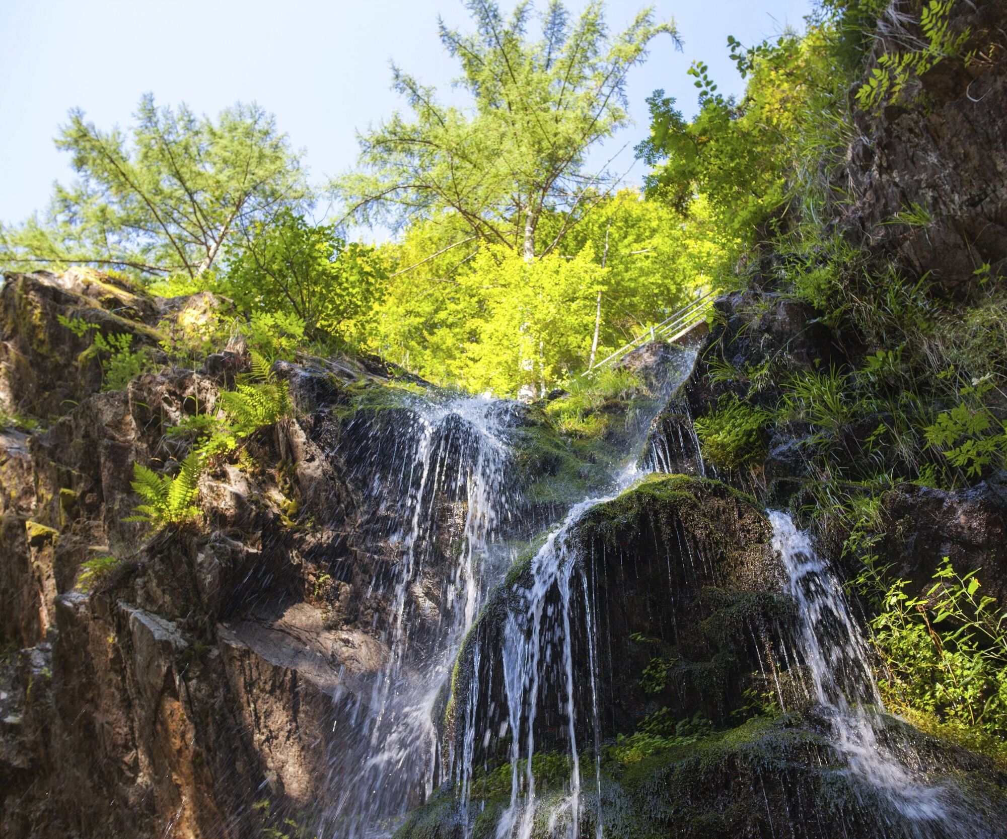
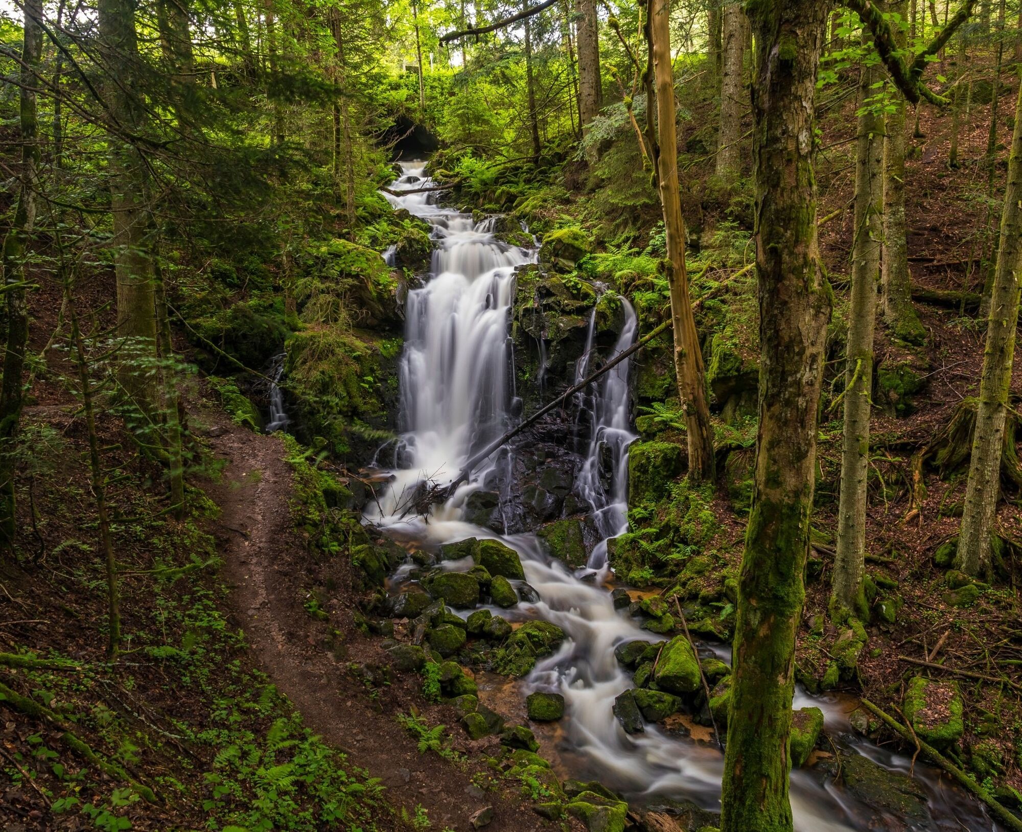
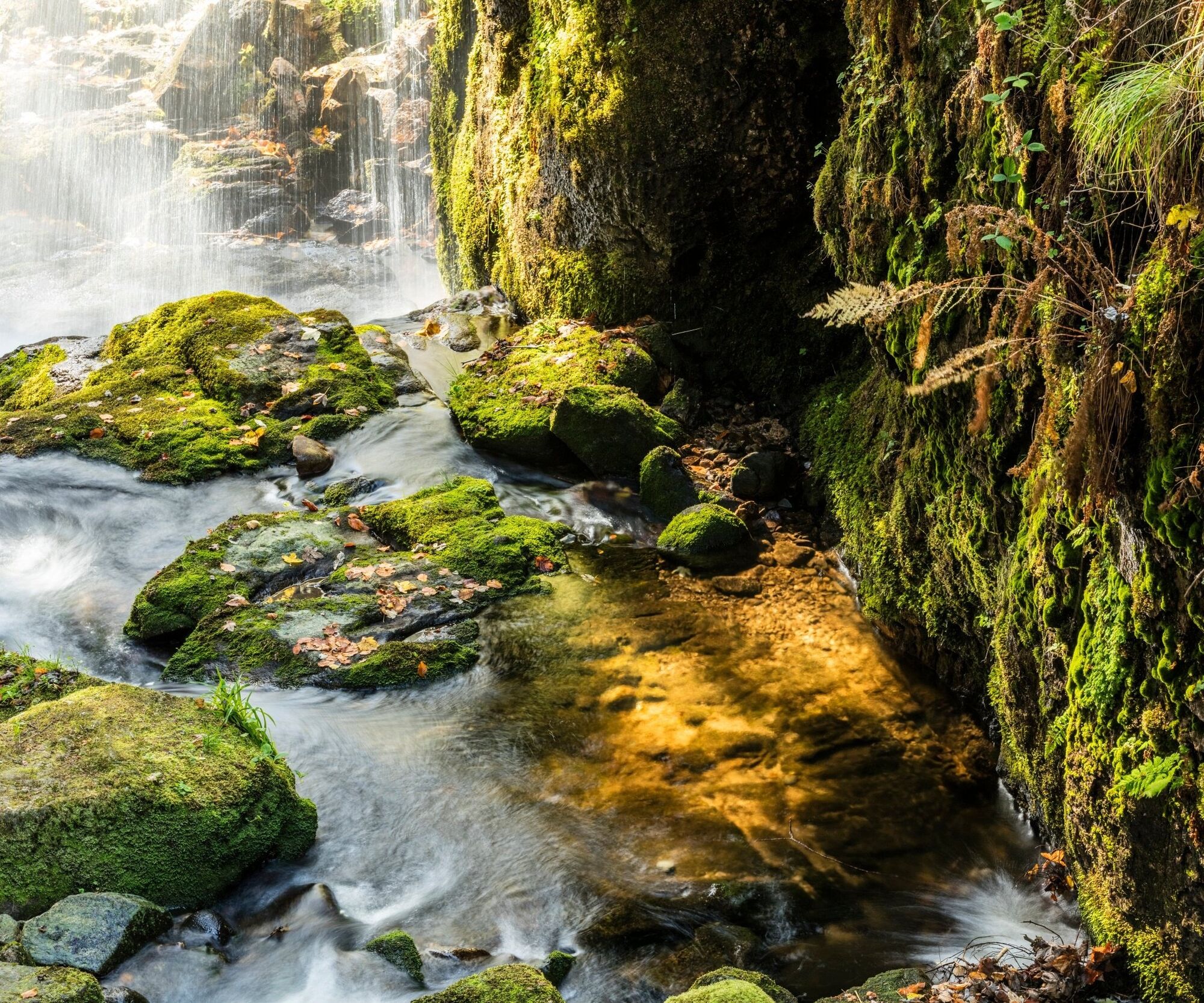
From the Todtnau waterfall, you make your way to its little brother - the Fahler waterfall. The completely natural waterfall has been accessible for many years thanks to hiking trails and bridges. This short exploration tour starts below the Herzogenhorn cable car. There is a large car park here, which serves as the starting point for your discovery. From here, you can reach the waterfall in just a few minutes via the well-marked hiking trail and continue on to the Menzenschwander waterfall. Here you will see an impressive natural formation. A gorge with rock faces up to 30 metres high, which you can walk along a signposted path, was created during and after the Ice Age by water rushing down from mountain Feldberg. Back at the starting point, you can treat yourself to sweet and savoury dishes and a cool drink at the Albhof restaurant. Your tour now takes you back to the starting point in St. Blasien. Return your car to the bus parking area at the cathedral and connect it to the charging station or park your car in a public car park near Friedrichstraße. Via Friedrichstraße, you will reach the path that takes you to the Windberg waterfall in around 15 minutes. Back at the car, your tour ends after an exciting day with a variety of waterfall highlights.


You start your tour at the bus car park at the cathedral in St. Blasien (Fürstabt-Gebert-Straße 18, 79837 St. Blasien), cross the small bridge and turn right onto the main road. At the roundabout, take the first exit onto the bypass. From here, follow the L149 in the direction of Bernau. Stay on the road straight ahead through Bernau, Präg and past Gschwend until you reach the B317. Turn right here in the direction of Todtnau and continue until you reach the large junction. Follow the signs for Freiburg / Todtnauberg on the left up the mountain. You pass the district of Aftersteg until you take the large 360° bend towards Todtnauberg and turn onto Kurhausstraße.
Before you reach the Todtnauberg district, you will find the car park at the BLACKFORESTLINE directly on the right-hand side.
Take the same route back to Todtnau until you reach the large junction. From here, turn left onto the B317 towards Feldberg and follow the road until you reach the Herzogenhorn cable car. A few hundred metres after this, directly in the right-hand bend, you will find the large car park on the left-hand side.
After visiting the Fahler waterfall, head east on the B317 towards Feldberg. Follow the road over the Feldberg as far as Feldberg-Bärental. Here, turn right onto the B500 towards Schluchsee. Drive through Altglashütten, then turn right and follow the signs towards Menzenschwand. Above Menzenschwand, follow the signs towards Menzenschwand Hinterdorf. In the village, turn right onto Hinterdorfstraße and follow the signs for "Wasserfall" until the end of the village, where you will find the car park directly by the waterfall (Hinterdorfstraße 58, 79837 Menzenschwand).
Take Hinterdorfstraße back through Menzenschwand to the crossroads and follow the sign "Alle Richtungen" and turn left. At the second junction, turn right towards St. Blasien and follow the signs to St. Blasien. Stay on the St. Blasien bypass until you reach the roundabout. Here, take the third exit into the town centre. To return your e-mini, you can drive directly along the main road to Fürstabt-Gerbert-Straße and return your e-mini at the bus park at the cathedral (Am Dom bus park, Fürstabt-Gerbert-Straße 18, 79837 St. Blasien).
Ano
Make sure you wear sturdy footwear and take plenty of water and a hearty snack with you on the tour, as some of the car parks are paid or temporary. It is certainly good idea to have some small change and a parking disc.
Directions to the starting point
Travelling to the starting point
1
The time shown is pure travelling time. Please note that you will also need time at the various activities.
Culinary tip: To start the day refreshed, we recommend a short drive to the centre of Todtnauberg. There, the Familotel Engel offers a rich, regional and seasonal breakfast buffet. A visit to the mountain shop in Todtnauberg is also recommended.
Tip: A visit to the Menzenschwander waterfalls is also worthwhile in the evening during the summer months, as they are illuminated on Wednesdays, Saturdays and Sundays.
Webové kamery z prohlídky
-
Feldbergturm Seebuck Gipfel
-
Todtnauberg - Pension Glöcklehof
-
Todtnauberg - Haus Keller
-
Feldberg - Falkau
-
Feldberg - Grafenmatt I
-
Todtnau - Aftersteg
-
Todtnau - Aftersteg
-
Seebuck Bergstation
-
Todtnauberg - Bucklift
-
Seebuck Talstation
-
Hofeck Talstation
-
Talstation Winkellift
-
Rathaus in Wittenschwand
-
Schluchsee - Wiesengrundpark
-
Domplatz St. Blasien
-
Hinterzarten - Ferienhaus Carola
-
Hinterzarten - Adlerschanze
-
Hinterzarten - Adler-Skistadion
-
Skilift Wiedenereck
-
Feldberg - Opelhaus
-
Menzenschwander Hütte - Feldberg
-
Menzenschwand Hinterdorf
-
Bergstation Mösle - Menzenschwand
-
Skilift Schwinbach - Menzenschwand
-
Innenstadt St. Blasien
-
Skilift Rehbach - Menzenschwand
-
Menzenschwander Hütte - Feldberg
-
Skilifte Stollenbach
-
Scheuermatthof
-
Schönau im Schwarzwald
-
Haldenköpfle - Talstation Lift 2
-
Todtnauer Hütte
-
Haldenköpfle - Talstation Lift 1
-
Haldenköpfle - Talstation Lift 1
-
Feldberg - Altglashütten
-
Feldberg - Fahl
-
Todtnauberg

Oblíbené prohlídky v okolí
-
4.7
Black Forest Highlands heritage trail - mills and saws in the gorge
středníTuristika 7.42 km -
3.9
Seerundweg Titisee
světloTuristika 5.84 km -
4.4
Belchensteig
středníTuristika 14.8 km -
4.2
Höhenklimaweg Titisee-Rundweg
středníTuristika 7.44 km -
4.4
Ravennaschlucht
Turistika 6.90 km -
4.8
Sonnenaufgang und Feldbergsteig
středníTuristika 11.6 km -
4.9
Todtmoos – Wanderung: Genießerpfad Lebküchlerweg
středníTuristika 12.8 km -
3.7
Premium Hiking Trail- Säbelthomaweg
středníTematická stezka 11.3 km -
4.7
Premium Hiking Trail - Menzenschwander Geißenpfad
středníTematická stezka 9.78 km -
4.0
Altitude on the Herzogenhorn
středníTuristika 11.1 km
Pěší turistika a stopování


Nenechte si ujít nabídky a inspiraci pro vaši příští dovolenou
Vaše e-mailová adresa byl přidán do poštovního seznamu.





