


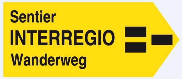
Great hike: the Interregio Trail 3 countries, 1 trail
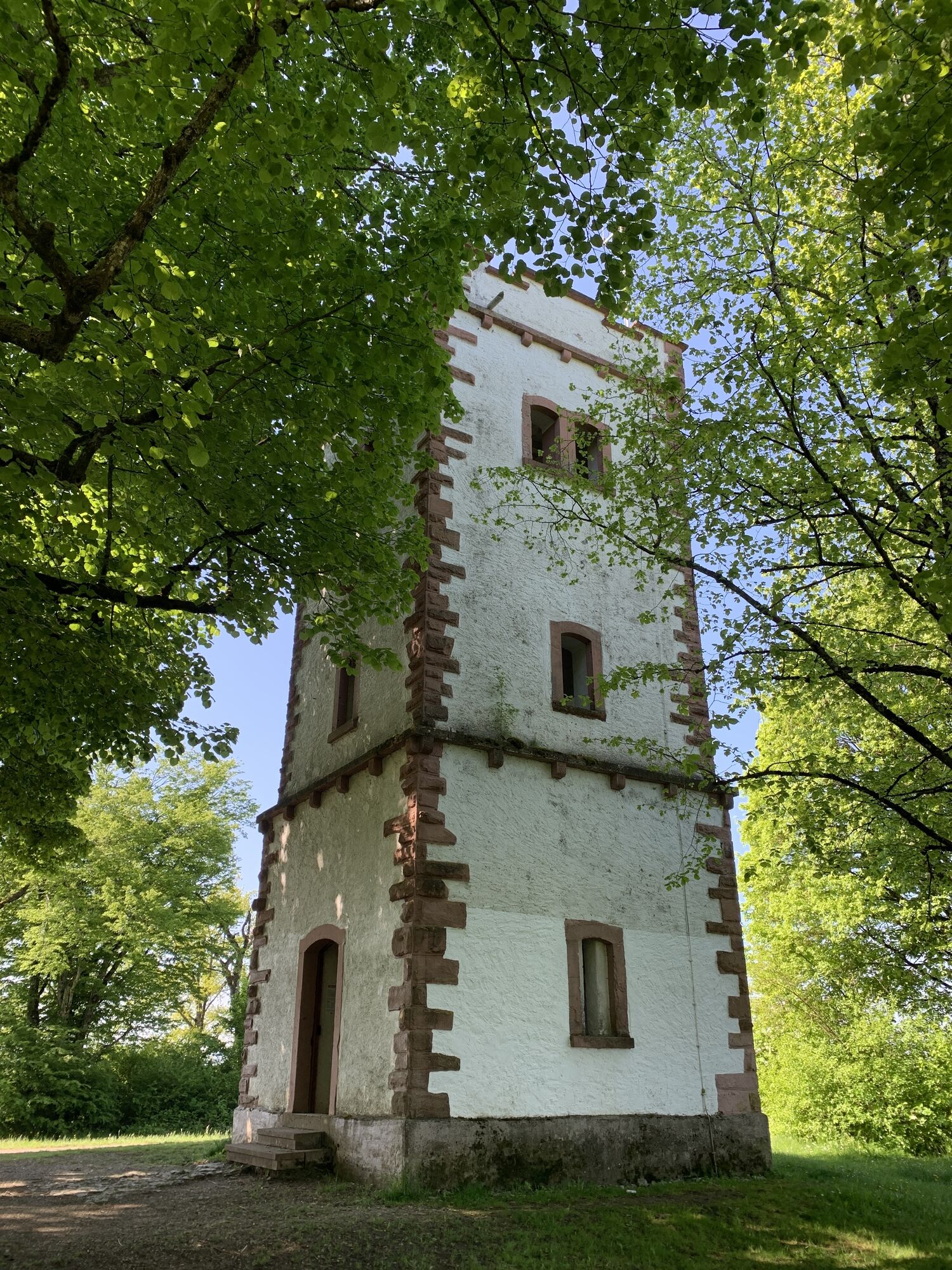
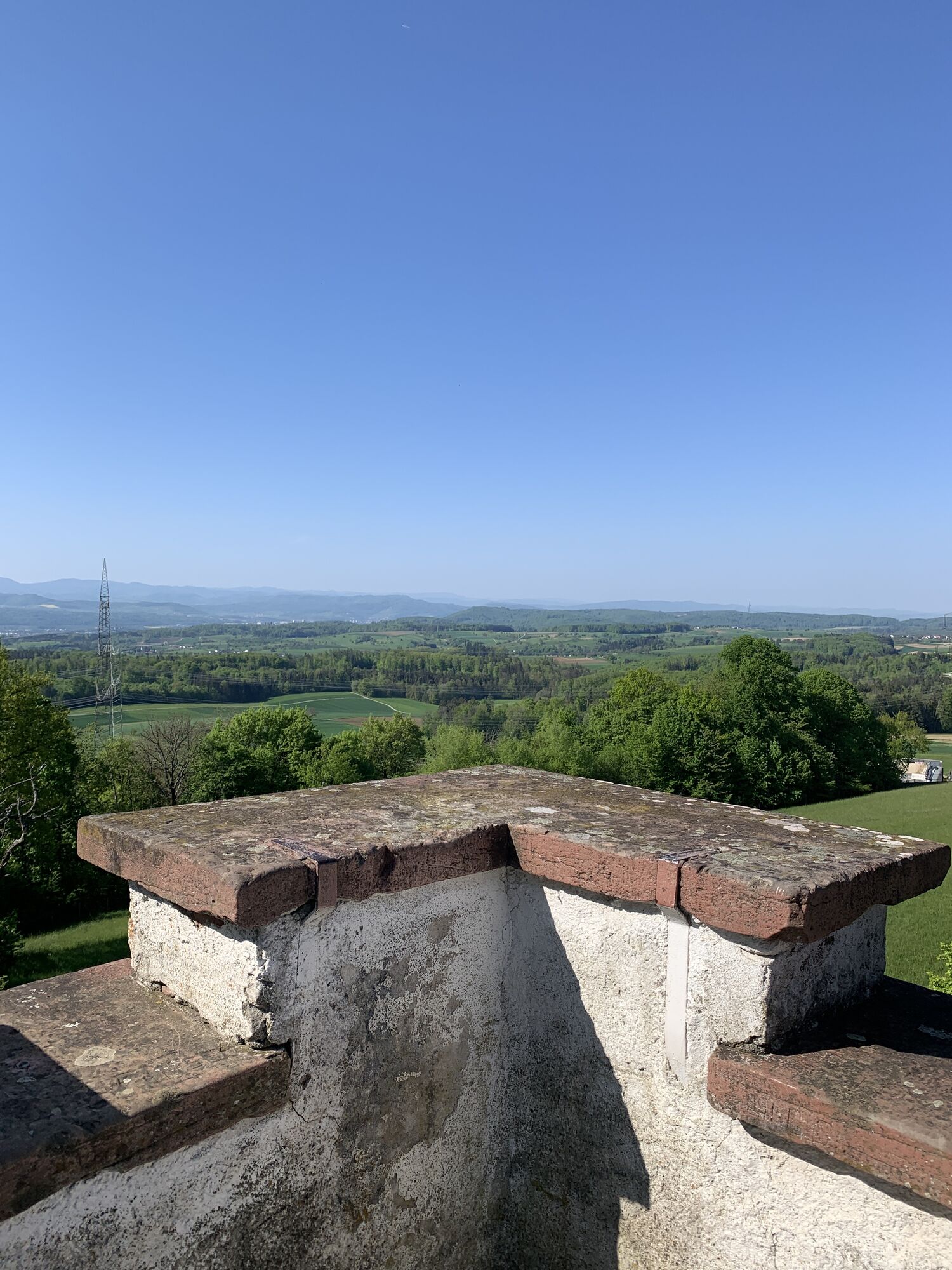
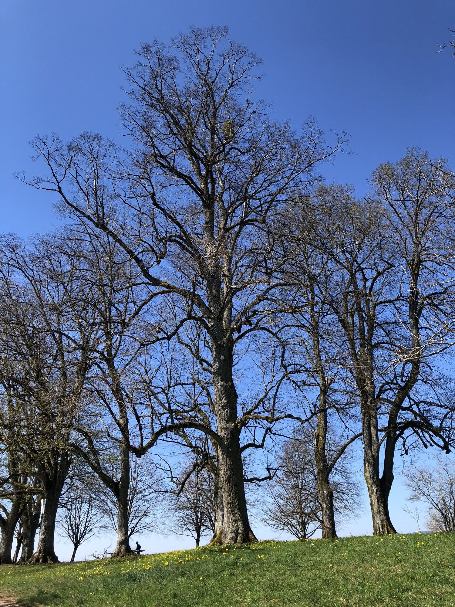
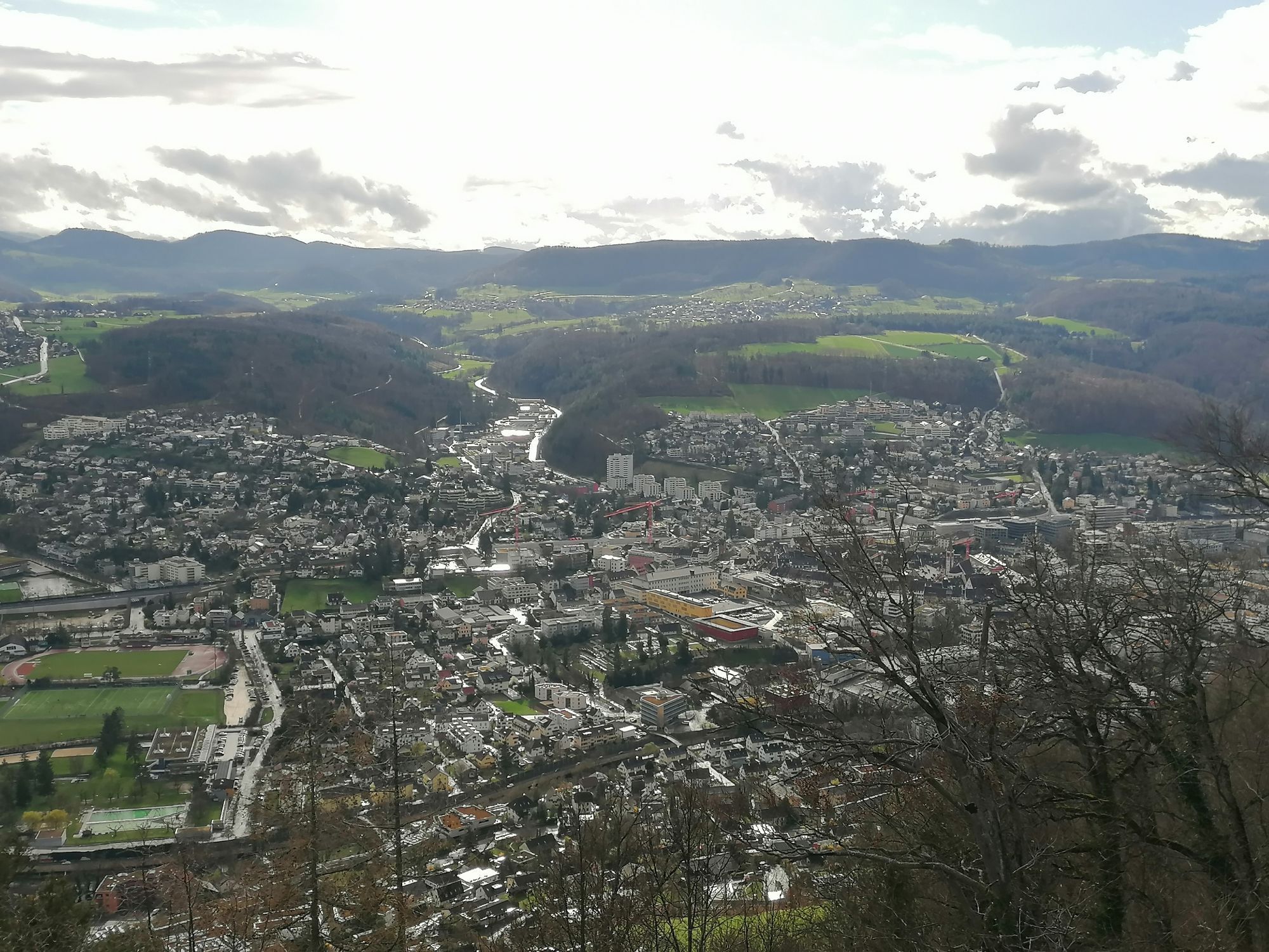
210 km long, it leads through the region surrounding Basel in 11 stages across the Black Forest, the Southern Vosges, and the Jura.
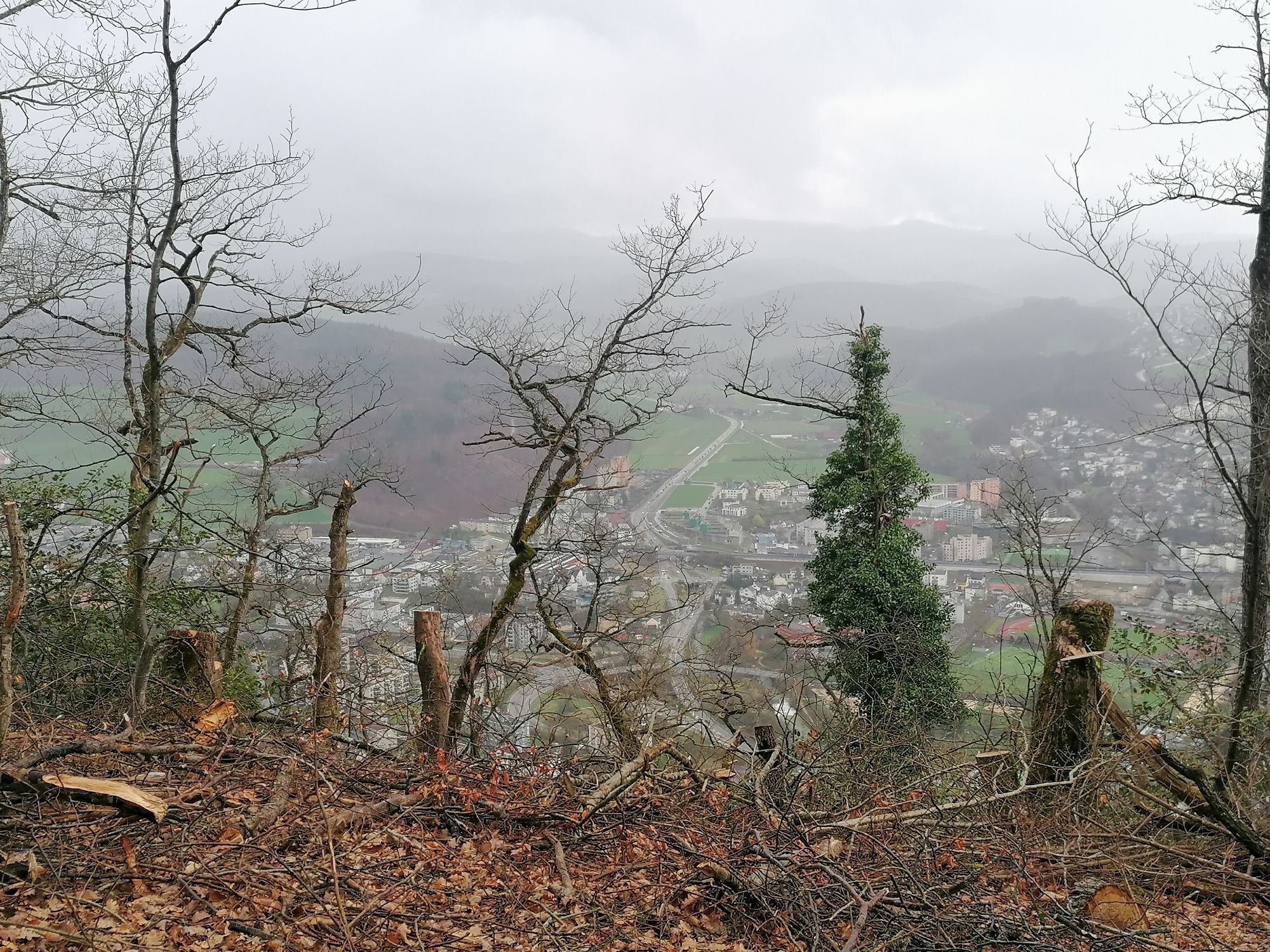
It crosses the Rhine twice and offers an overview of a European region...
210 km long, it leads through the region surrounding Basel in 11 stages across the Black Forest, the Southern Vosges, and the Jura.
It crosses the Rhine twice and offers an overview of a European region worth visiting for its landscapes, culture, and economy.
Germany: Neuenburg am Rhein – Bad Bellingen – Kandern – Steinen – Rheinfelden (Germany and Switzerland)
Switzerland: Liestal – Aesch – Rodersdorf
France: Ferrette – Altkirch – Mulhouse
1st stage: Mulhouse (F) – Neuenburg am Rhein (D) - 34.4 kilometres
2nd stage: Neuenburg am Rhein (D) – Bad Bellingen (D) - 16.5 kilometres
3rd stage: Bad Bellingen (D) – Kandern (D) - 18.5 kilometres
4th stage: Kandern (D) – Steinen (D) - 20.2 kilometres
5th stage: Steinen (D) – Rheinfelden (D / CH) - 18.8 kilometres
6th stage: Rheinfelden (D / CH) – Liestal (CH) - 16.5 kilometres
7th stage: Liestal (CH) – Aesch (CH) - 16.6 kilometres
8th stage: Aesch (CH) – Rodersdorf (CH) - 14.8 kilometres
9th stage: Rodersdorf (CH) – Ferrette (F) - 12.4 kilometres
10th stage: Ferrette (F) – Altkirch (F) - 19.9 kilometres
Ano
IN THE BACKPACK
Each person their own bag: 20 liters for half a day, about 30 liters for the day, but no more than 10-15% of the carrier's weight Plan protection against rain (cape, umbrella...), cold (fleece, hat, gloves, lip protection...), sun (sunscreen, hat...) Garbage bag (to bring everything back home!) Tissues, toilet paper Knife First aid kit Survival blanket Water bottle, some cereal barsTHE "PLUS" ITEMS
Compass and/or hiking GPS Camera or binoculars Headlamp or flashlight Whistle (to alert other group members) Fluorescent yellow vest (if it is necessary to walk along a road)THE HIKER ACTS AS A RESPONSIBLE CITIZEN
He or she respects:
Nature and environment, fauna, flora, biodiversity Protected areas (national parks, nature reserves, etc.) Visited sites Other hikers Other forest users Basic safety rules In a group, the guide's instructions Public or private owners and their property: closes fences and gates after passingHe or she carries out their waste
Preserves sites and trails
Reports any damage observed on the trails by signaling any anomaly.
Favors public transport and carpooling
Before leaving:
Check general and local weather conditions ensuring no precipitation Get information on approach walk, itinerary height, travel time, possible escape routes (IGN map, GPS, guidebook, etc.) Evaluate possible risks by consulting mountain professionals, refuge, lodgings Inform a close person of your objective and contact them in case of change: departure and return times, number of participants with each phone number, vehicle(s), parking Avoid going alone, use equipment suitable for the activity, adjusted and in good condition, headlamp, complete first aid kit, survival blanket, etc.In case of problem
Alert: call 112 (European emergency number)
5 key points to transmit your alert:
Where? municipality, place, itinerary, altitude Who? identity, phone number What? type of accident, number of victims, seriousness, fall dynamics When? accident time Weather? wind, visibilityStarting and ending points of the stages are generally well served by public transport.
Parking close to all departure points.
A route to do over 10 days / 9 nights
Webové kamery z prohlídky
Oblíbené prohlídky v okolí
-
4.8
Wolfsschlucht
světloTuristika 6.19 km -
2.5
Isteiner Klotz - Huttlingen
středníTuristika 8.67 km -
Petite Boucle des Trois Pays, a route along the water for the whole family (Local loop 979 Alsace à Vélo / Suisse Mobile)
světloJízda na kole 40.5 km -
Fernsehturm Chrischona Riehen, Basel-Stadt
světloTuristika 13.5 km -
5.0
On paths of the Petite Camargue Alsacienne – "Mittlere Au" Tour
světloTematická stezka 4.12 km -
4.0
Planeten-/Zeitweg Kandern
světloTuristika 10.4 km -
5.0
St. Chrischona, BS Riehen, Schweiz
světloTuristika 14.5 km -
Entlang des Schlipf
světloTuristika 4.89 km -
5.0
Mythische Orte am Oberrhein - La tombe des Trois Vierges
světloTuristika 4.62 km -
Three Countries route - Between Nature and Culture (Large loop France, Germany, and Switzerland)
heavyCyklistika na velkou vzdálenost 209.5 km

Pěší turistika a stopování


Nenechte si ujít nabídky a inspiraci pro vaši příští dovolenou
Vaše e-mailová adresa byl přidán do poštovního seznamu.